-
Taliesan West and Casa Grande National Monument
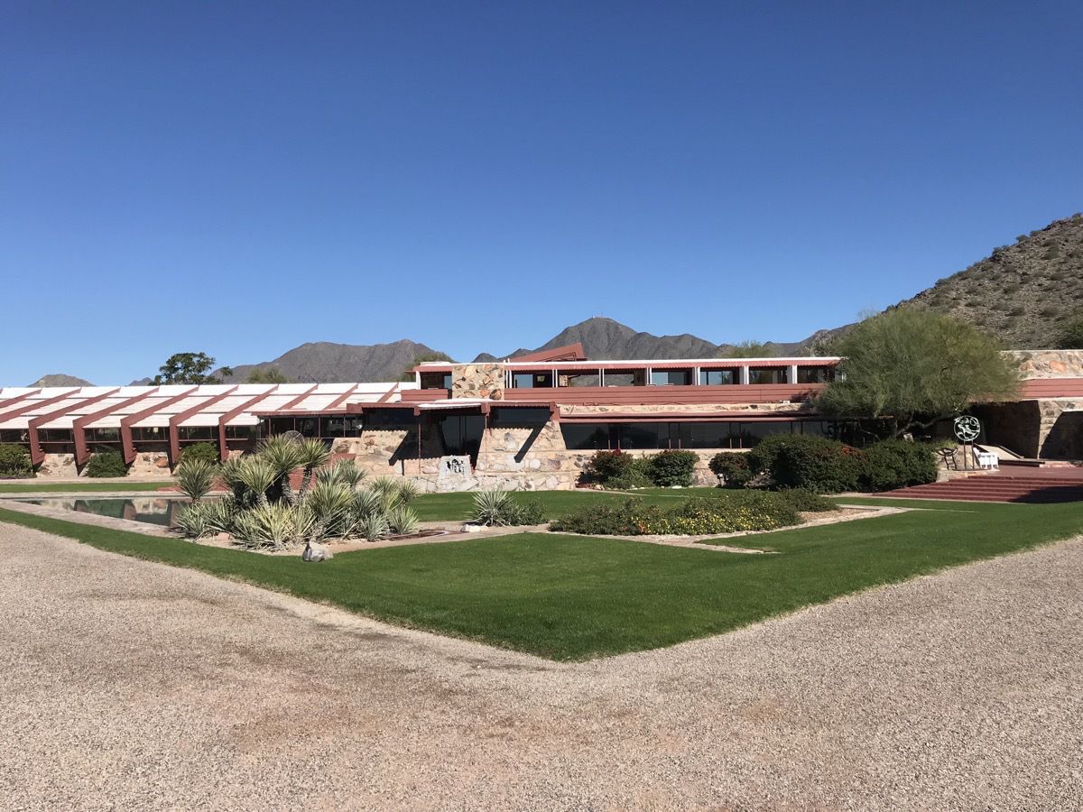
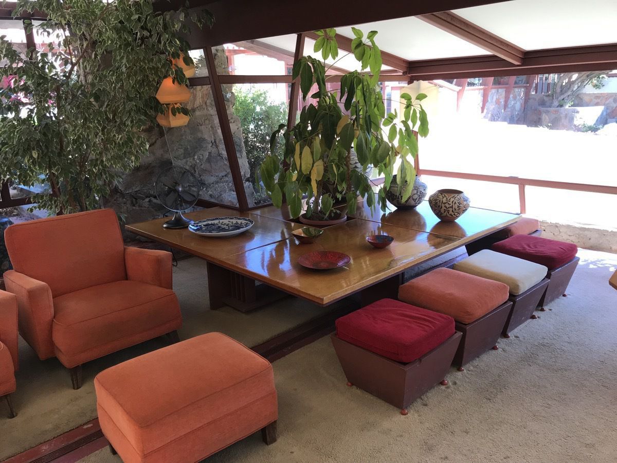
We drove to Frank Lloyd Wright’s Taliesin West for a tour after checking out of our motel in Phoenix.
Taliesin West was architect Frank Lloyd Wright's winter home and school in the desert from 1937 until his death in 1959 at the age of 91. Today it is the main campus of the School of Architecture at Taliesin and houses the Frank Lloyd Wright Foundation.
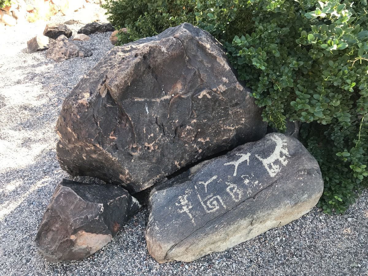
Ancient Petroglyphs found on the property and moved to this spot. It is not illegal to move any petroglyphs.
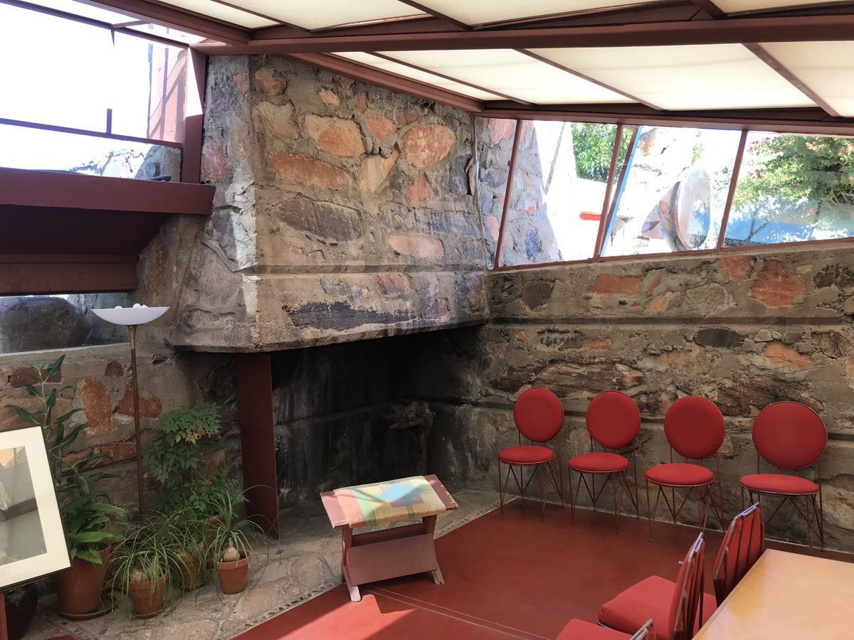
There is lots of glass to let in the light. A fireplace in the corner will give off the most heat.
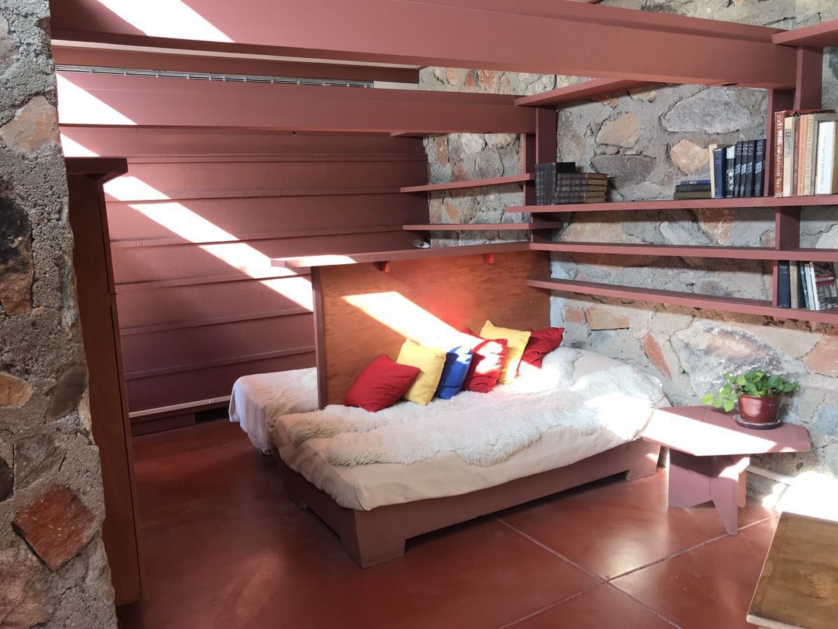
Frank Lloyd Wright’s bedroom
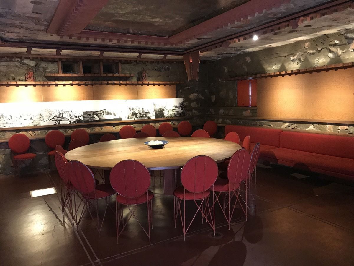
The kiva was built underground to protect furnishing that would be destroyed by the extremely hot summer weather. Also used as a classroom during the winter months..
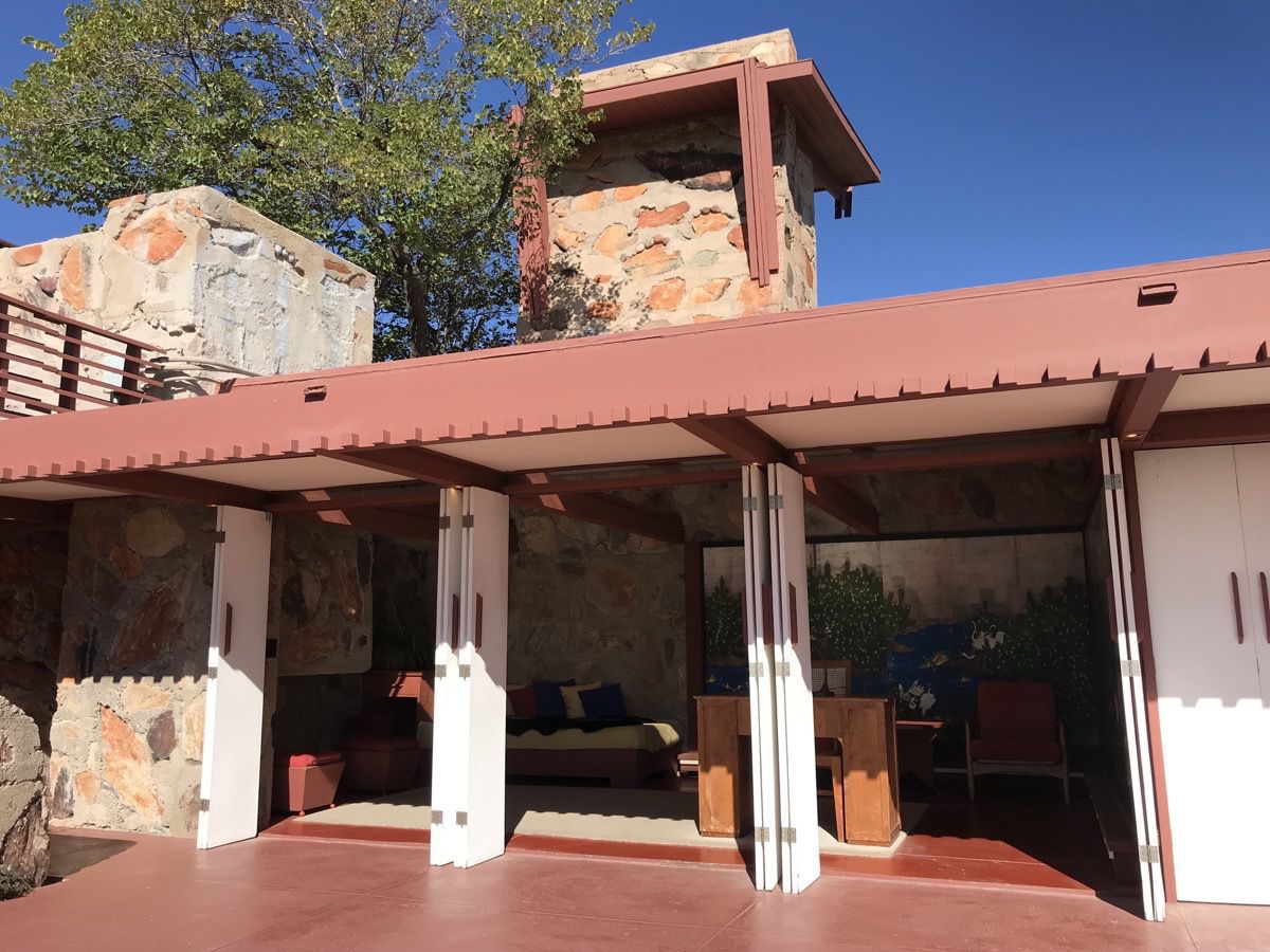
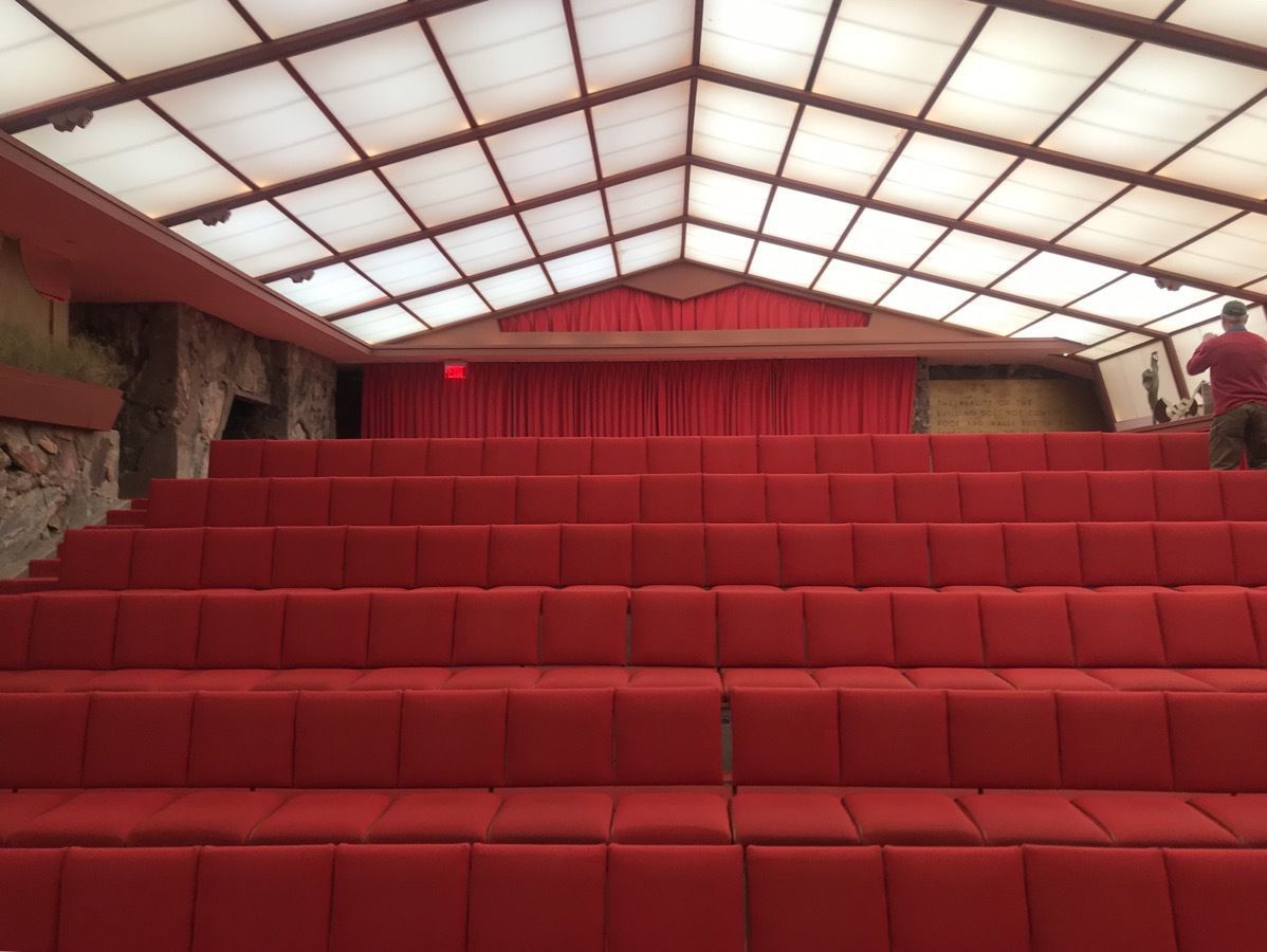 Auditorium that holds 180 for shows and performances.
After our 1 1/2 hour tour we drove to Tucson where we are staying at the Doubletree at Williams. Along the way we saw a sign for the Casa Grande National Monument so we stopped to take a tour and see a movie.
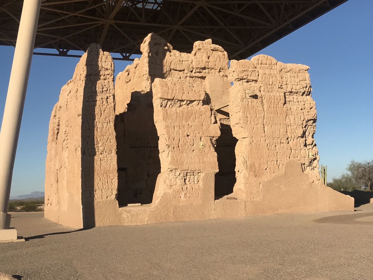
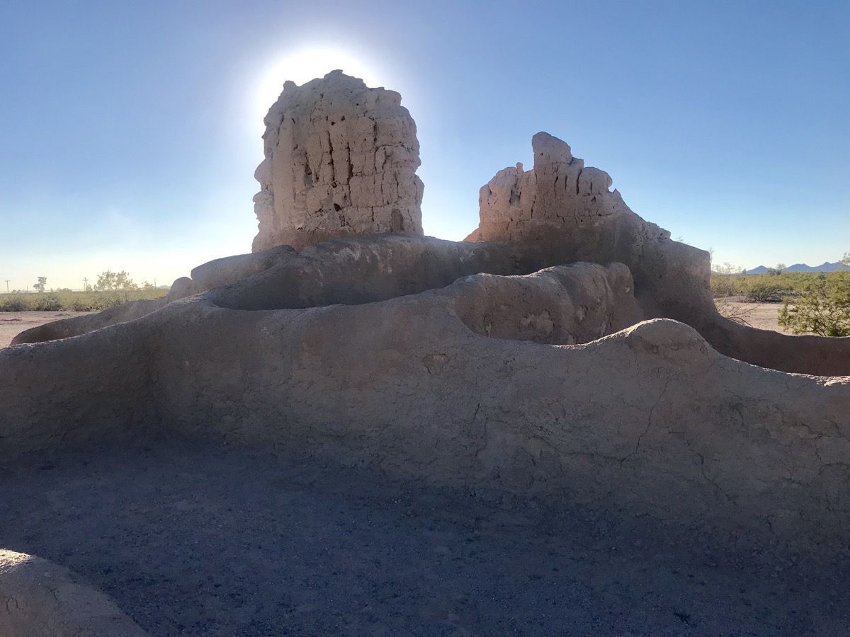
Casa Grande National Monument Prehistoric Ruins
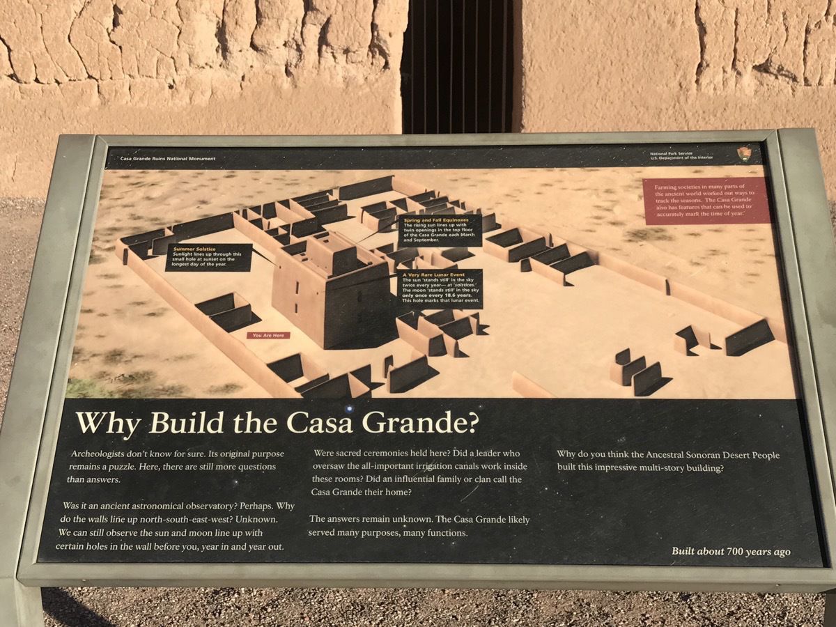
The national monument consists of the ruins of multiple structures surrounded by a compound wall constructed by the ancient people of the Hohokam period, who farmed the Gila Valley in the early 13th century. "Archeologists have discovered evidence that the ancient Sonoran Desert people who built the Casa Grande also developed wide-scale irrigation farming and extensive trade connections which lasted over a thousand years until about 1450."
"Casa Grande" is Spanish for "big house” which refer to the largest structure on the site, which is what remains of a four-story structure that may have been abandoned by 1450.
A Jesuit missionary and explorer Eusebio Franscisco Kino discovered and named the ruins in 1694. In the 1700s and 1800s on a very travelers came this way, but when the railroad was completed nearby, more and more people came back and started carving their name in the walls and taking pieces for souvenirs. In 1889 Congress voted to protect the ruins and shore up some of the walls. In 1891 Casa Grande became America’s first archeological perserve.
-
Papago Mountains - Phoenix, AZ
This morning we flew from Houston to Phoenix, AZ and checked into the Holiday Inn and Suites for the night. We drove to
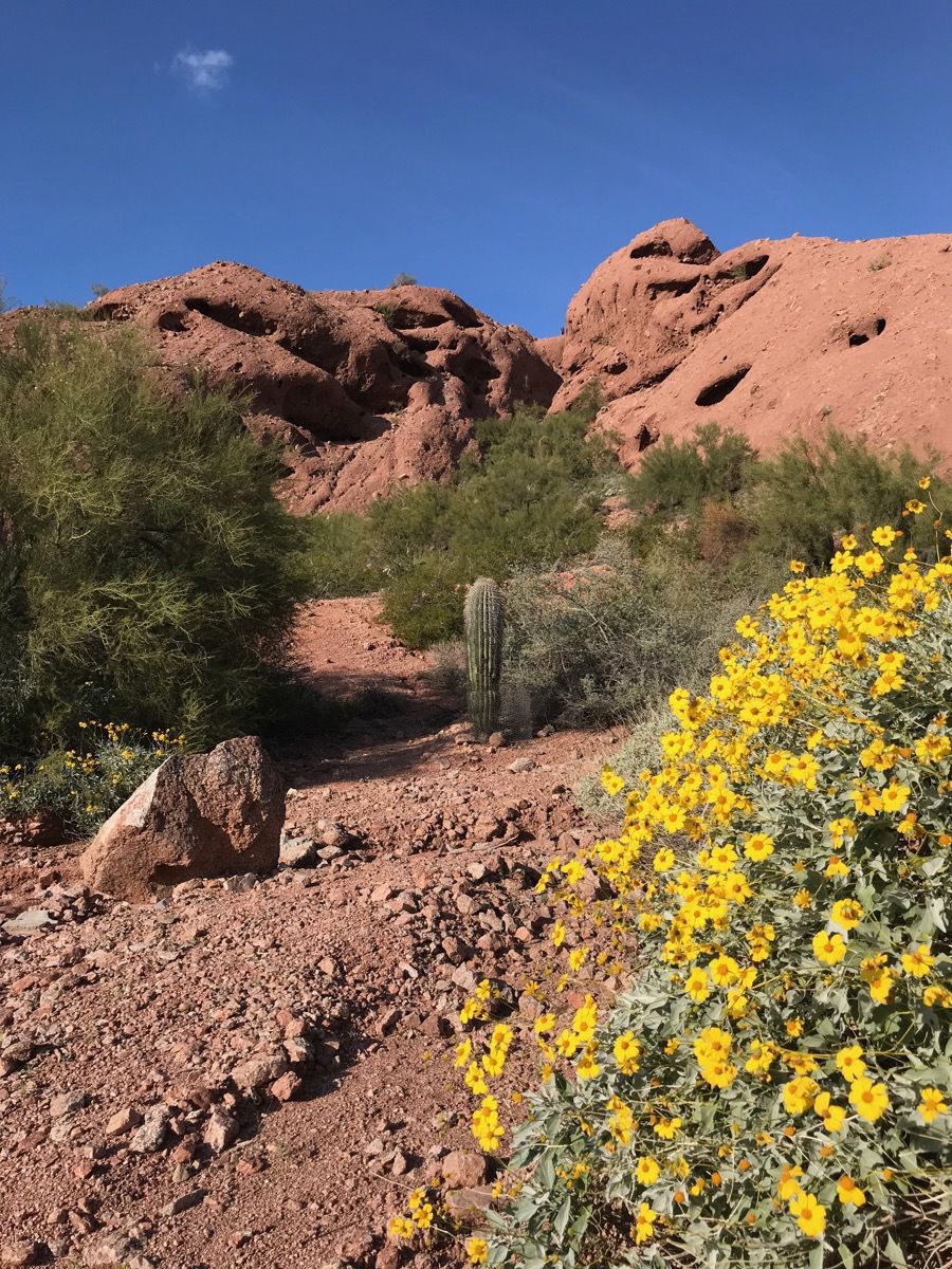
Papago Park and spent the afternoon hiking about 3.5 miles. The weather was a pleasant 62 degrees and the skies were a beautiful blue.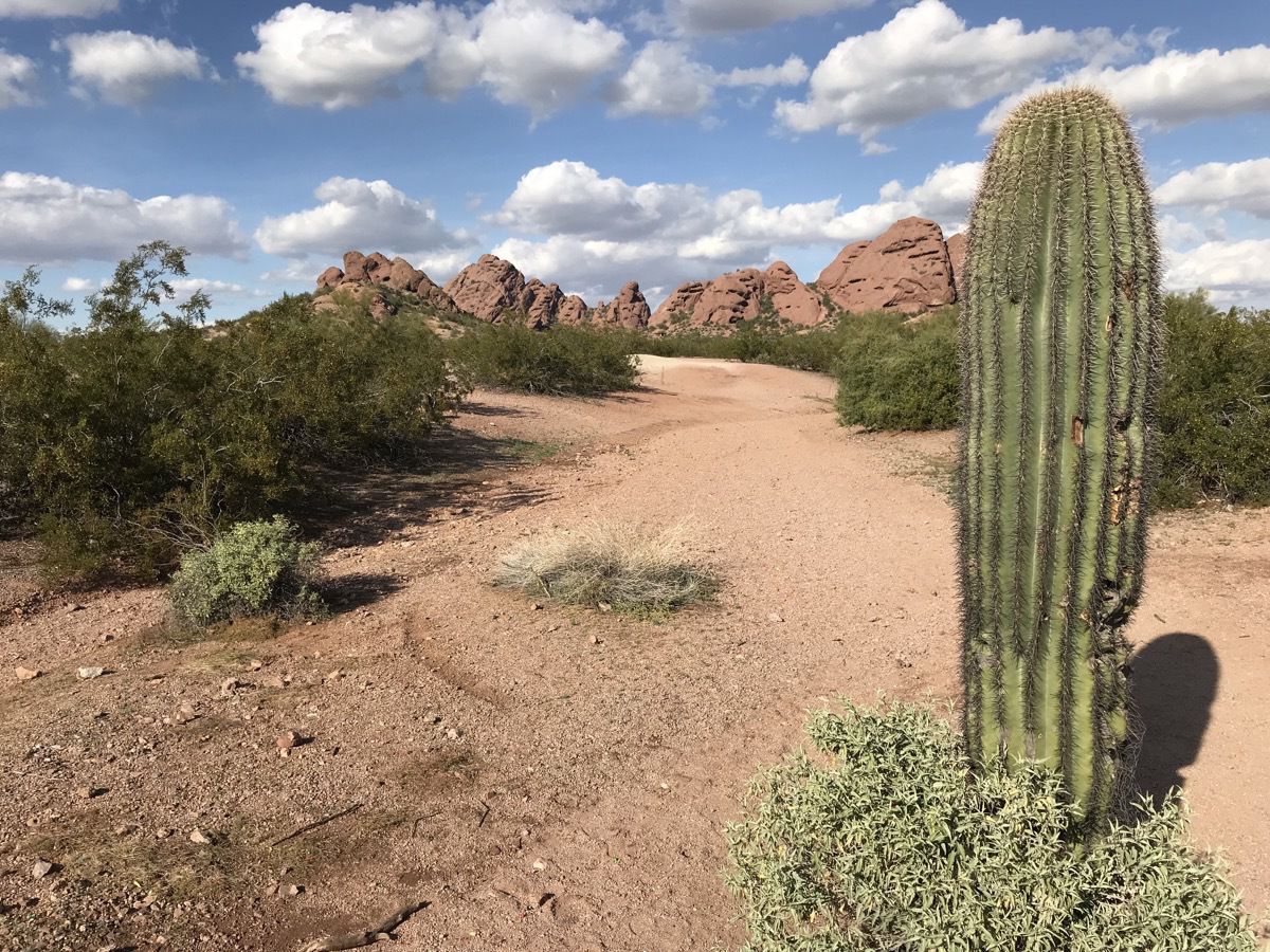
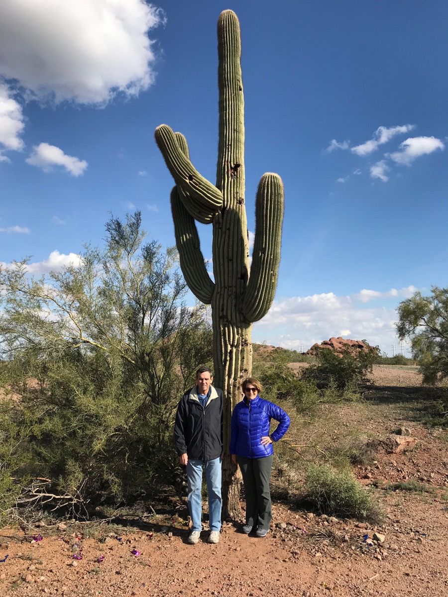
This tall organ pipe cactus (Saguaro) is one of the defining plants of the Sonoran Desert. These cactus are large, tree-like columnar cats that develop branches (or arms) as they age (although some never grow arms. Their growth is very slow. In fact, one that is ten years old may only be 1.5 inches tall. They can live 150-200 years and grow to be 40-6- feet tall. When rain is plentiful and the saguaro gets enough hydration, it can weigh from 3200-4800 pounds!
-
Wilhemina Bay, Antartica - Day 7 Cruising
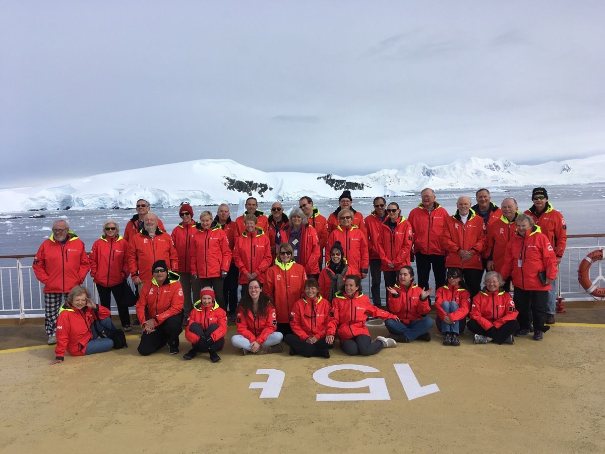
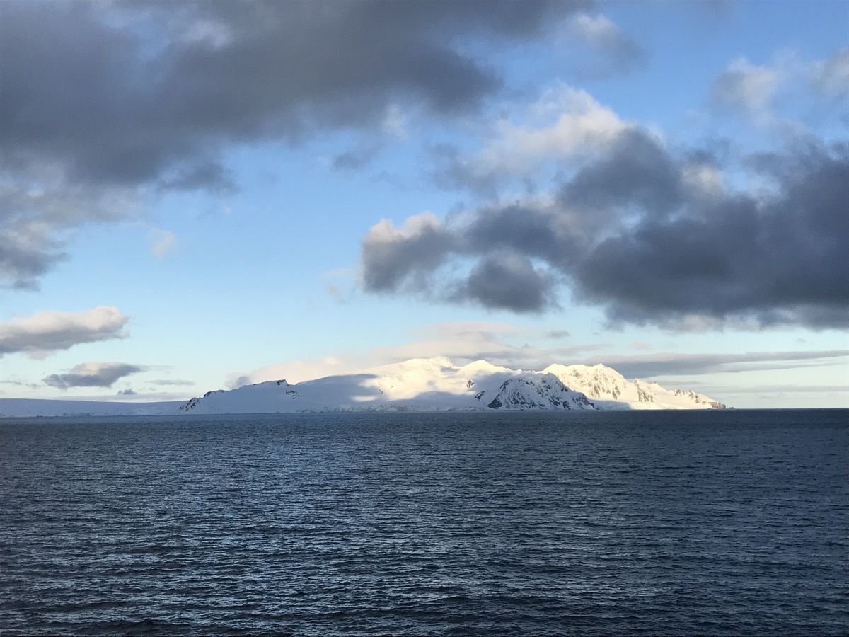
This morning we awoke to find a beautiful day in Wilhelmina Bay. The sun was shining, there was no wind and the water was calm. We had our group picture taken on Deck 9 and then took our final cruising at 11:15.
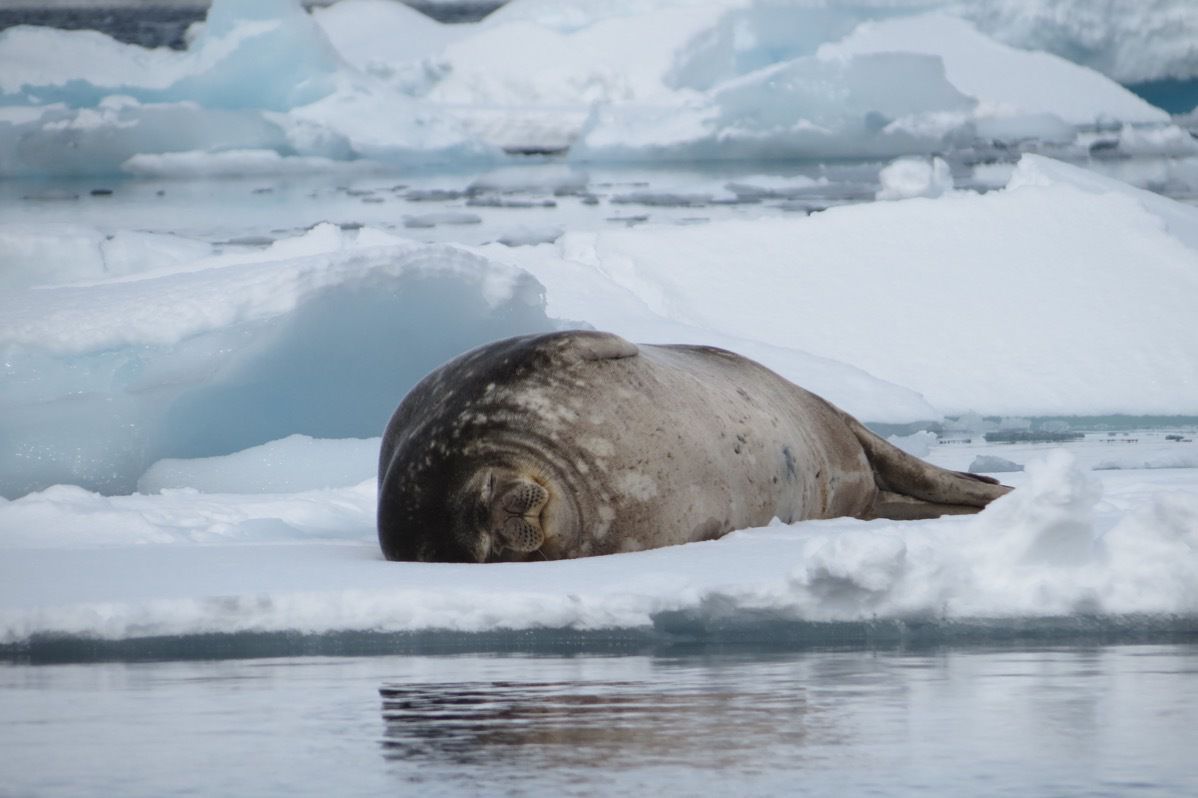
Weddell Seal
The movie is of a humpback whale swimming beside our ship.
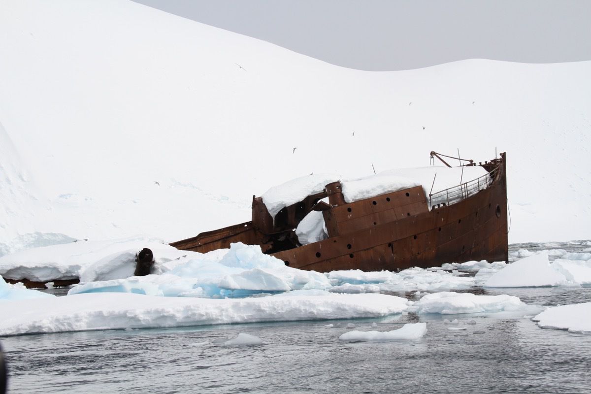
This was the whaling ship Guvernøren that caught fire in 1915 and was run aground in order to rescue the men and supplies. There were no fatalities.
Thursday Evening
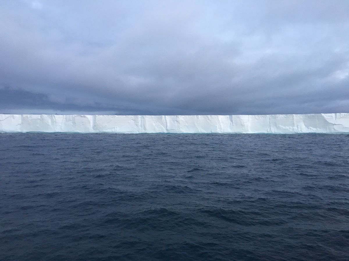
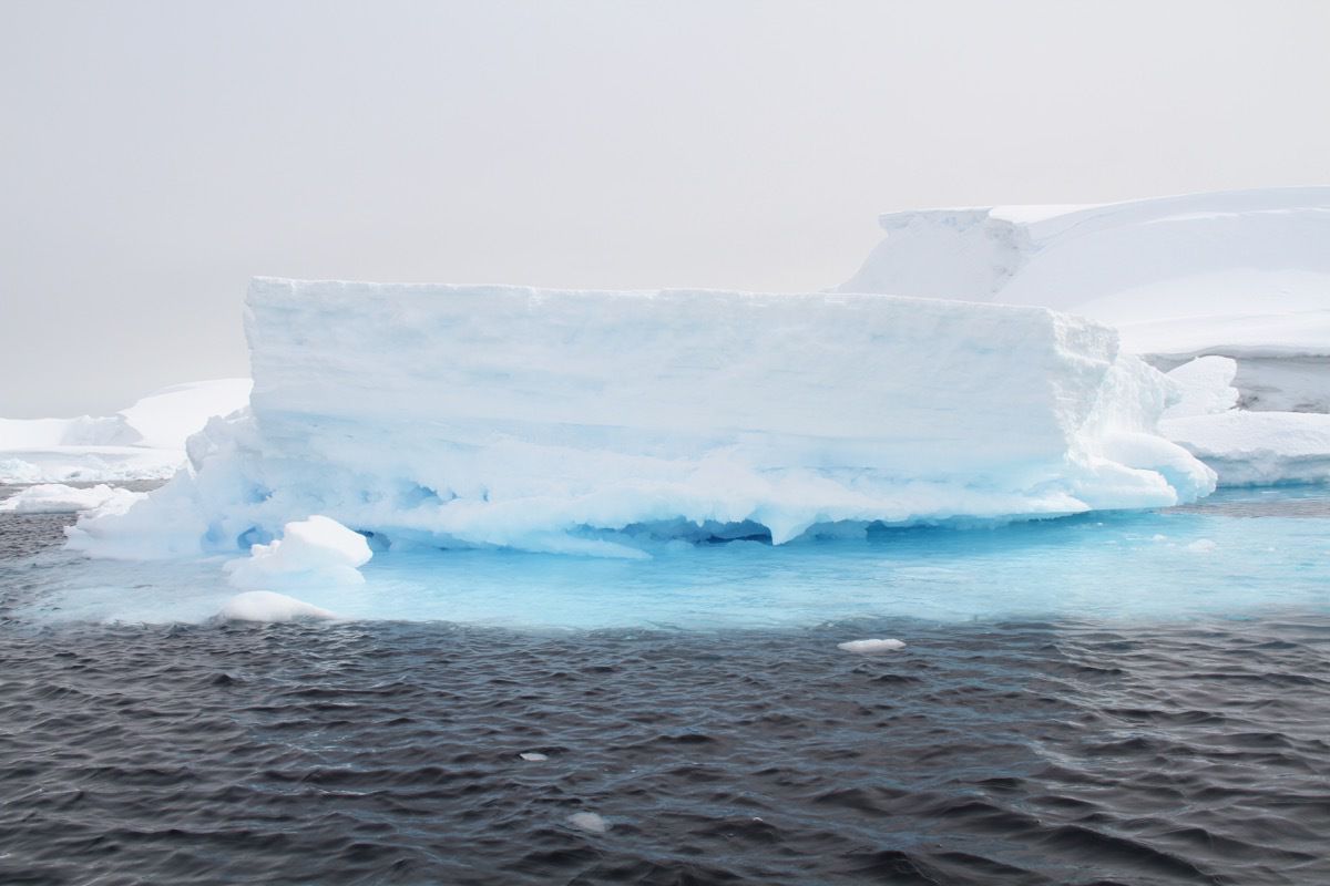
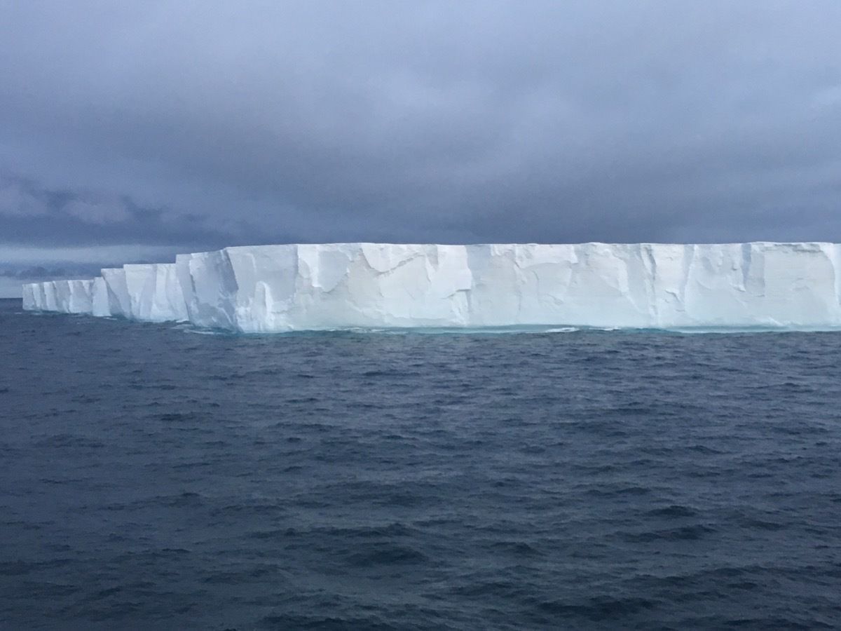
Tabular Iceberg - 1,600 feet long. 180 feet high. This broke off from the Larsen Ice Shell.
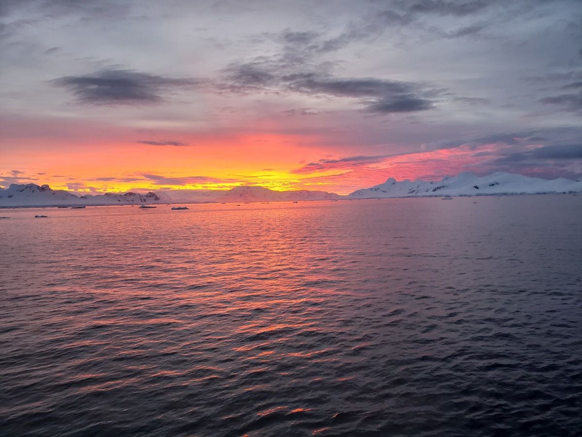
-
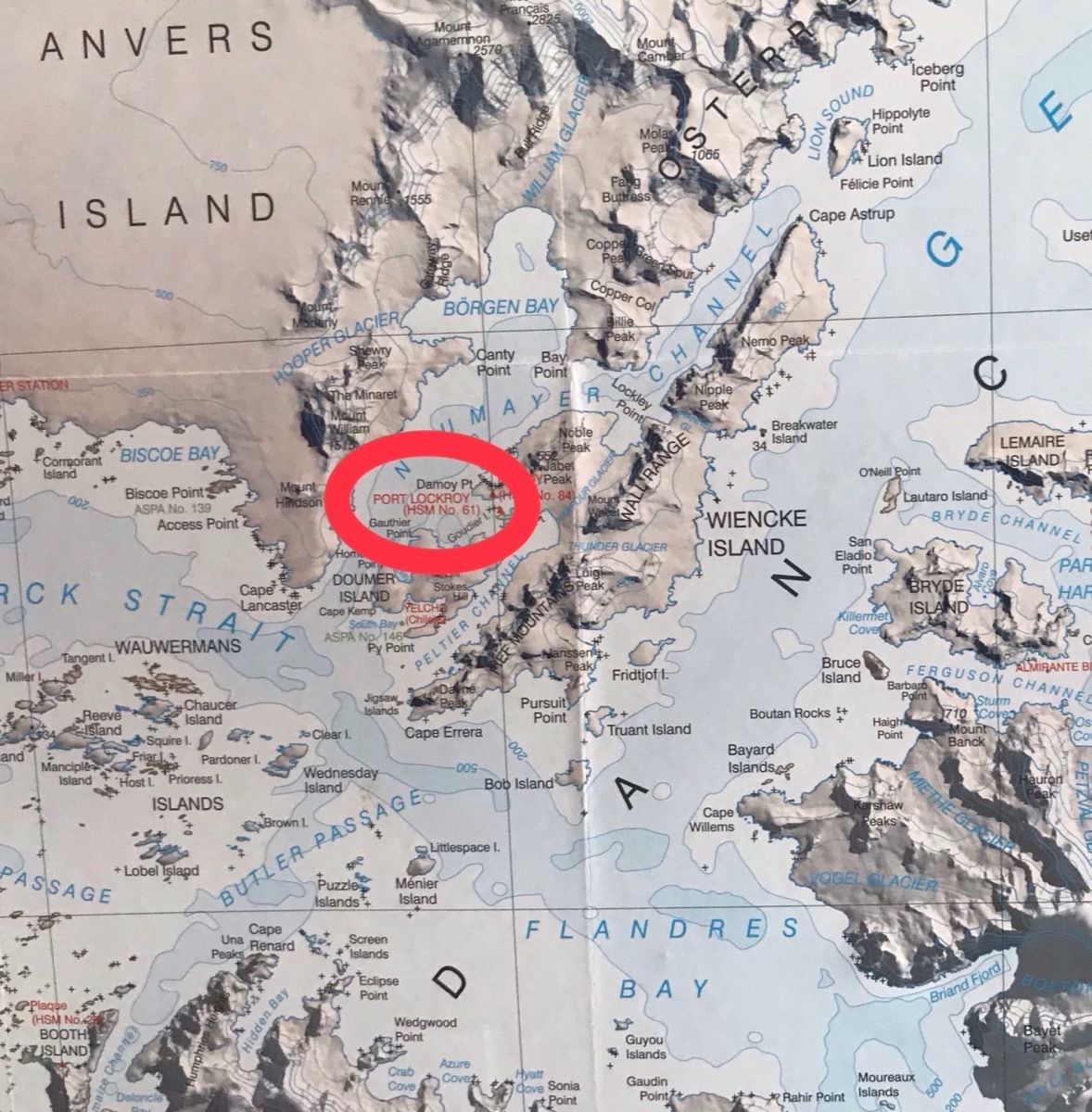
Damoy's Point in the Neumayers Channel -Landing #6
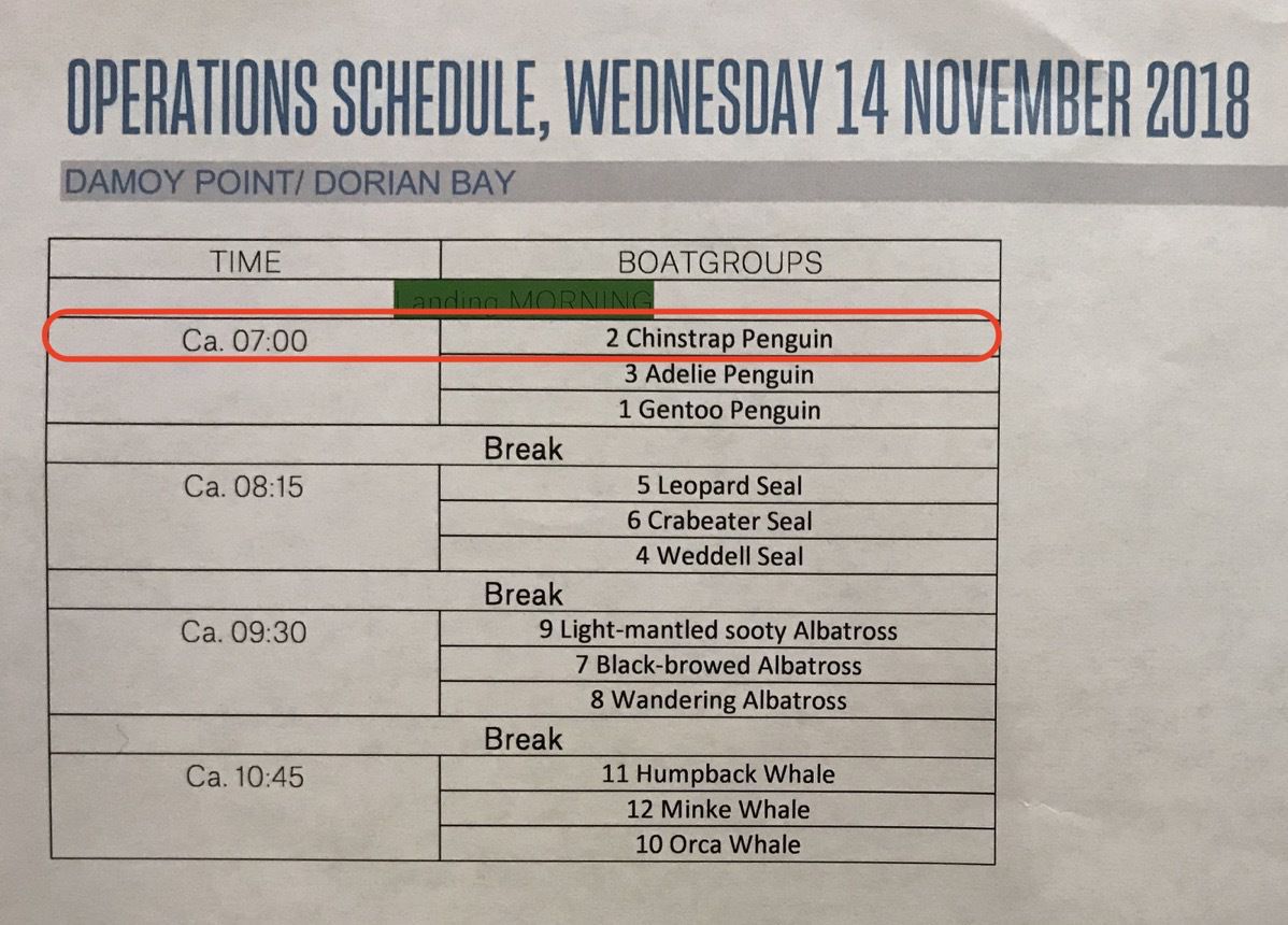
When we woke up this morning we were in the Neumayers Channel (below Anvers) located on the western side of Wiki Island ready to take the zodiacs onshore . The weather was quite perfect this morning and it was our turn, the Chinstrap penguins, to be the very first group off the ship for landing #6. So, we got into our Zodiac at 7:00 AM dressed warmly for our excursion and off we went. When we reached the land at Damoy’s Point and came ashore, the snow was fresh and hadn’t been walked upon;
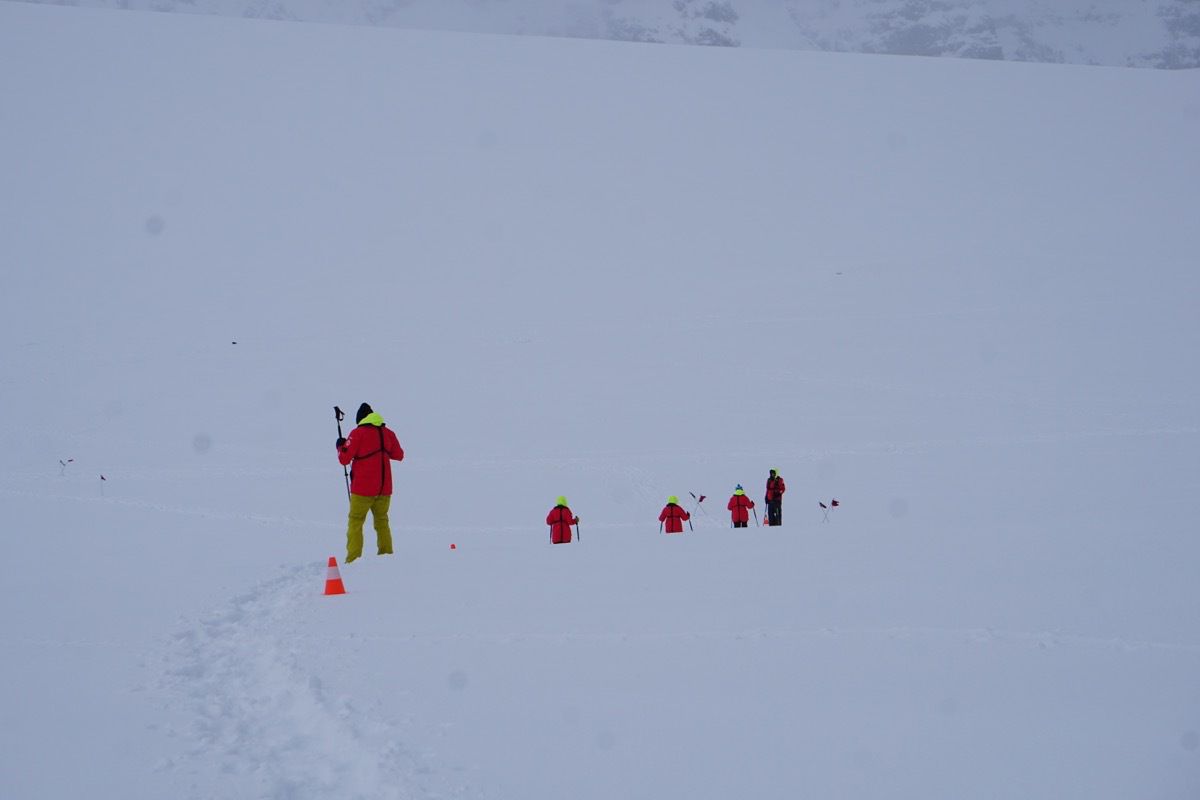
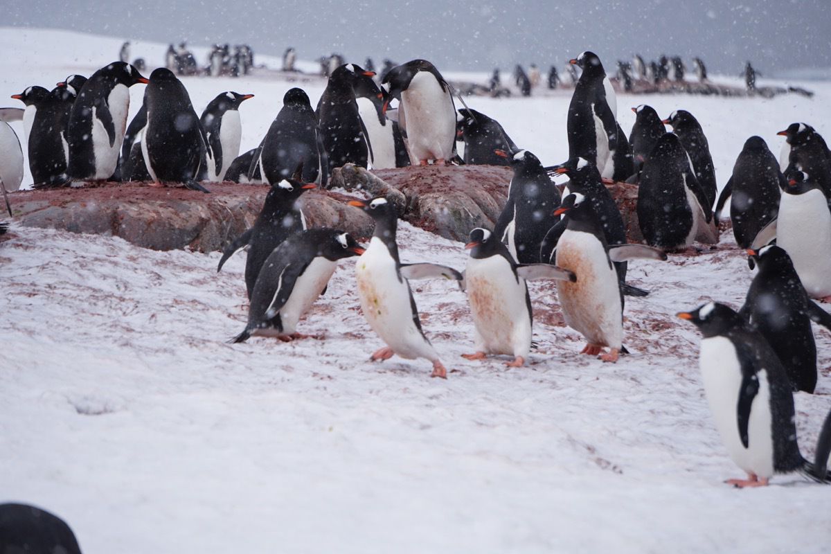
We could see several penguin highways which we are not allowed to step on. It’s the rout the penguins take to go from their nest to get to water and go find their food.
Damoy Hut
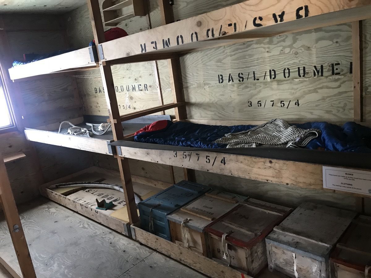
We walked across the fresh blanket of snow to the Damoy Hut, which was built in 1975 and kept in use until 1995. It has now been restored to its original form and is used as a museum. The land here was an airstrip that enabled personnel and stores arriving by ship to be flown on to Rothera Station in early summer when sea ice prevents dirt access to the station by ship
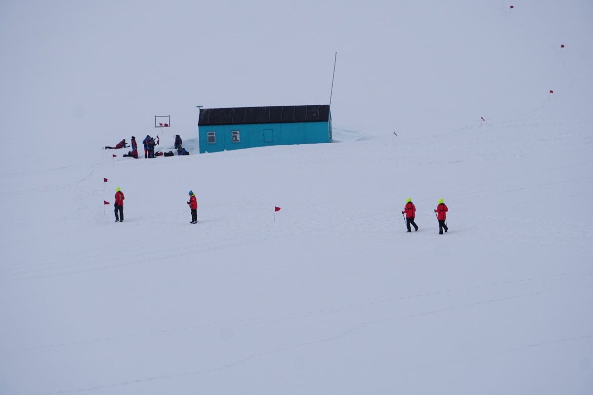
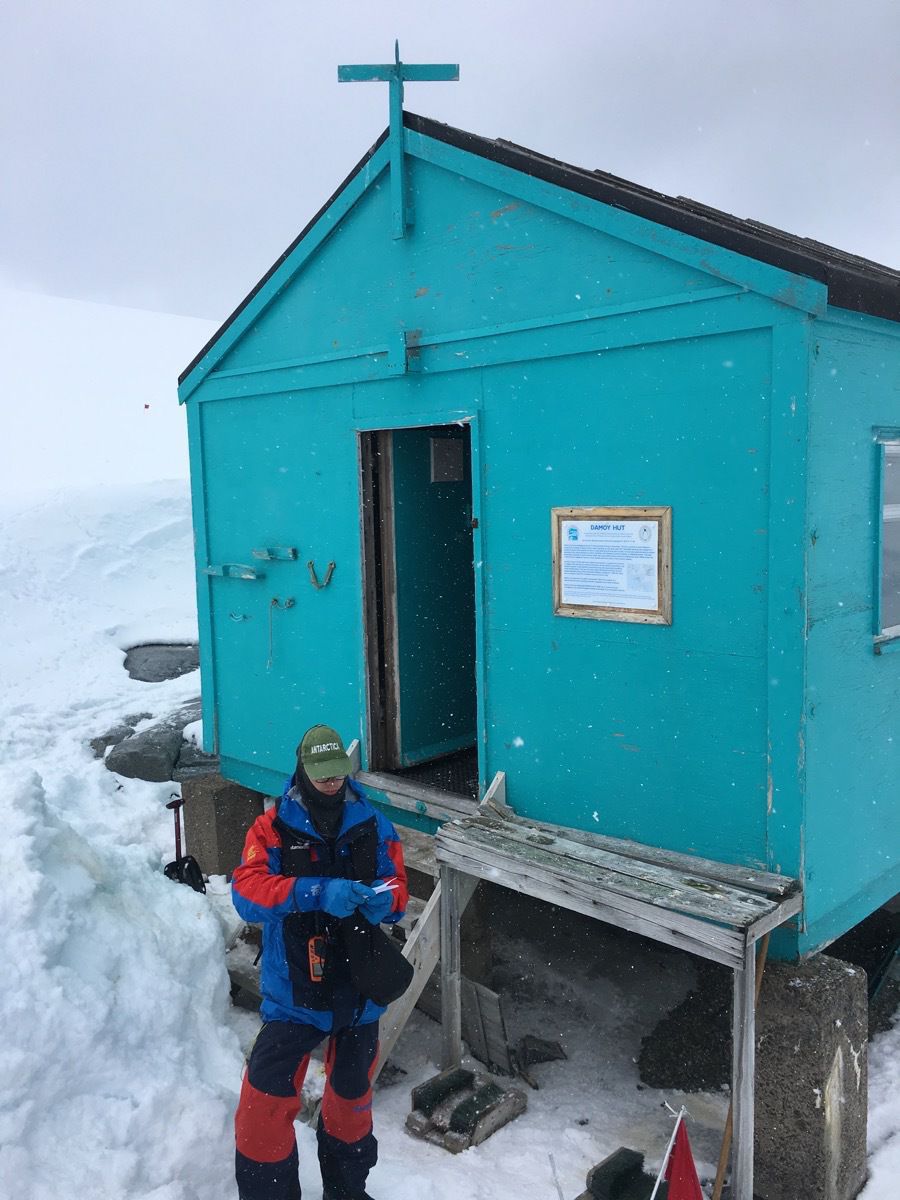
A party of two or three men were stationed her to transfer the cargo from ship to plane.
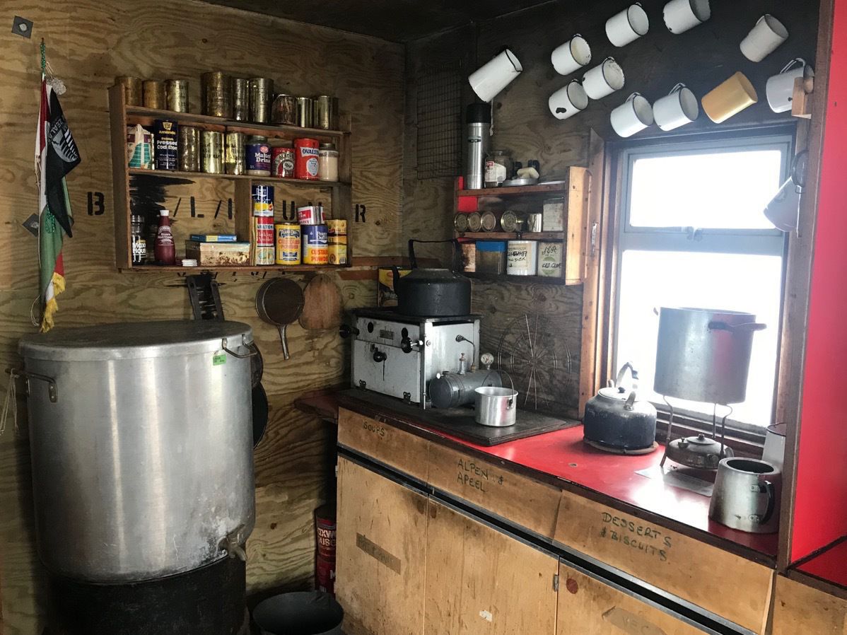
The kitchen had no running water and the food was good in that big container.
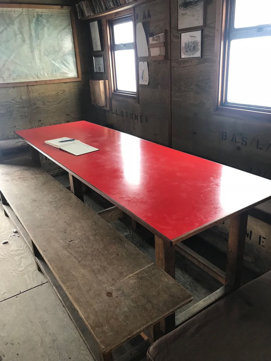
Dinner table and benches for as many as 12-15 people who lived and worked here.
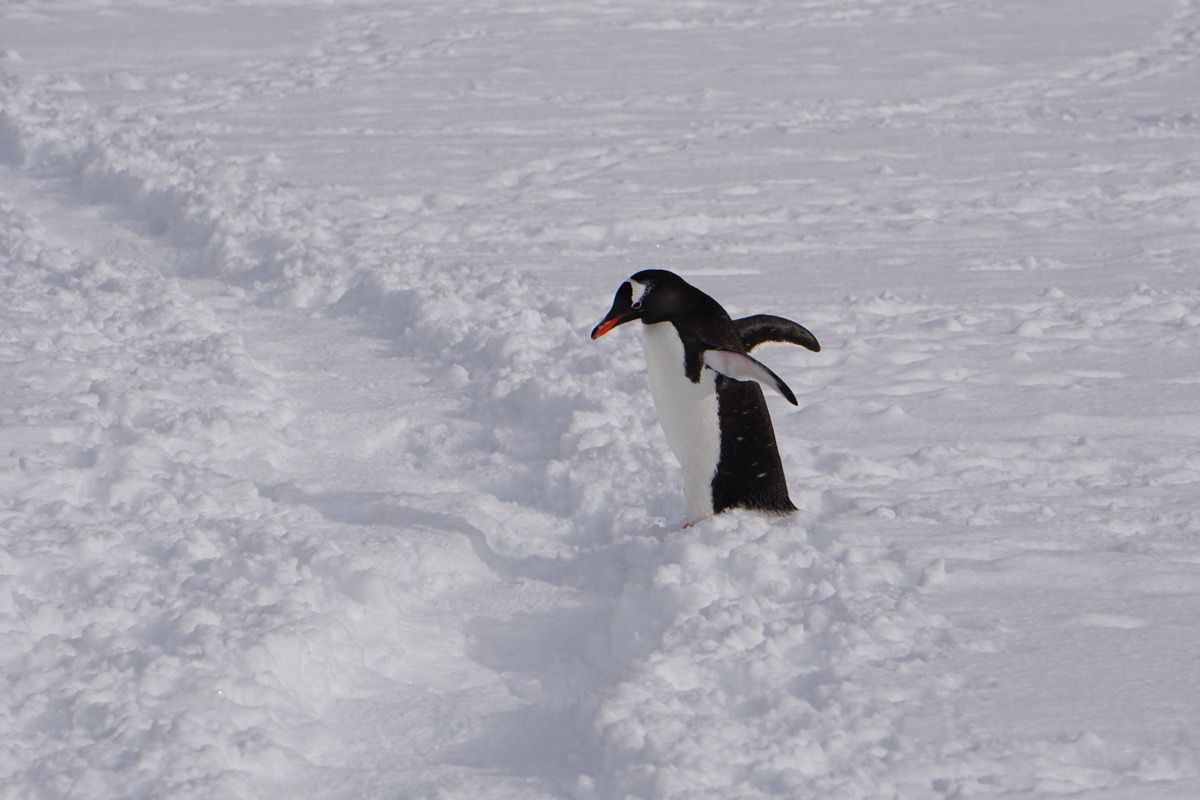
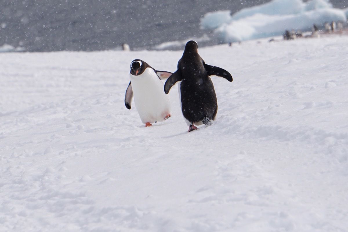
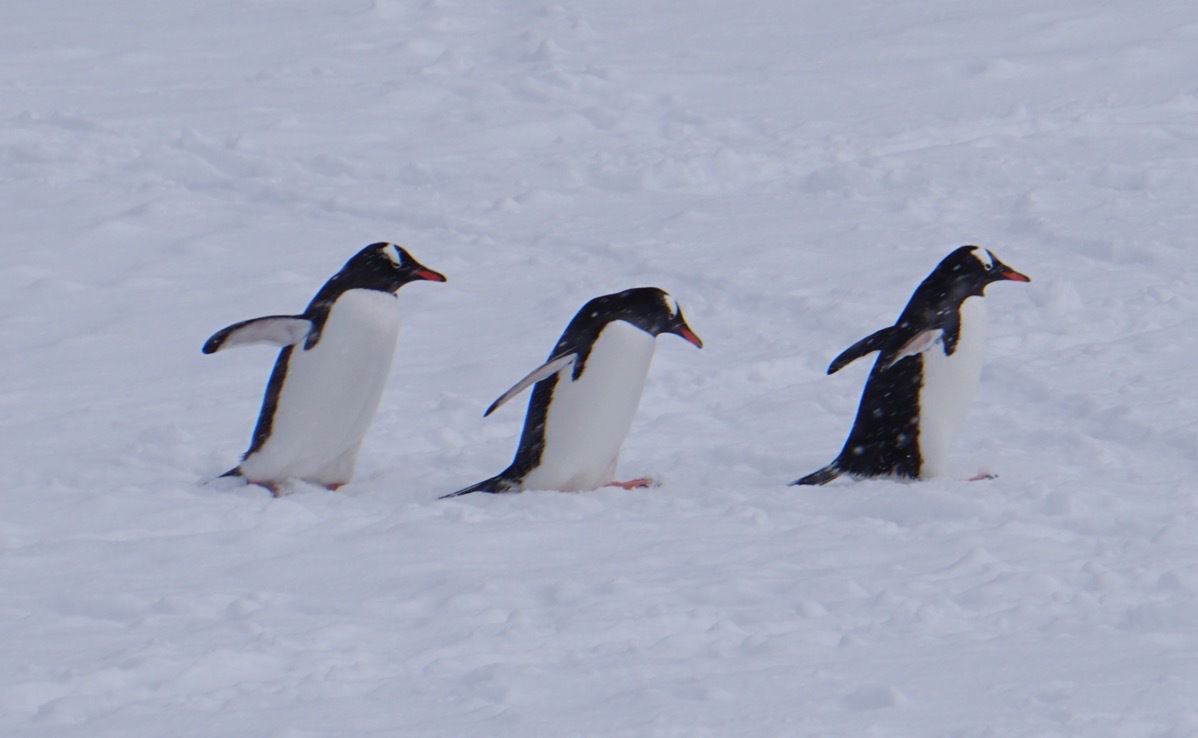
This penguin is getting ready to cross our walking path.
Port Lockroy Post Office
We could not make a stop at the Port Lockroy Post Office because the ship is too large, so the post office crew game aboard our ship. The post office is operated by the British government for four months each year. The crew of four live inside the building. There is no running water or toilet for the residents to use. When ships pass through, they deliver 20 gallon cans of water and propane which the postal crew must lug back to their building. Buckets are used for human waste and taken by the ships for proper disposal. Our ship invited them onboard to sell postcards and stamps. The postal crew took showers on our ship and were invited for dinner. The postmaster also told us what it was like to live down here for four months which was interesting.
The postal workers take the letters back to the post office and postmark them. They are sent out on the next ship that drops off the mail at the Faulkland Islands where it is loaded on an airplane and flown to Britain and then processed normally and delivered.
Shackleton’s Antarctic Adventure
In the evening Shackleton’s Antarctic Adventure was show in the theatre. "This documentary followed the daring real-life exploits of Sir Ernest Shackleton and his crew. Determined to become the first people to walk across the South Pole, Shackleton and his men embarked on their daring Antarctic expedition by sea. When their ship, the Endurance, is trapped and destroyed by ice, the British explorer and his group struggle to survive in the harsh, frigid environment, defying the odds as they cheat death largely through sheer perseverance."
Cozy bunk beds three man high.
-
Paradise Harbor, Antartica - Argentina's Brown Base Day #5 Landing
We spent the night in the middle of Paradise Cove where Lindy and Doug, members of our group, went ashore with 28 others and camped for the night. The group went out to the site after dinner and set up the tent and then the ship sailed away so the group could enjoy the sounds of Antartica—mostly the cracking of the ice and the snoring of fellow campers. ( I mentioned earlier that the cost of doing this was $860 per person). I don’t think I would have done it even if the ship paid ME that amount!
When we awoke this morning, the water was perfectly smooth again.
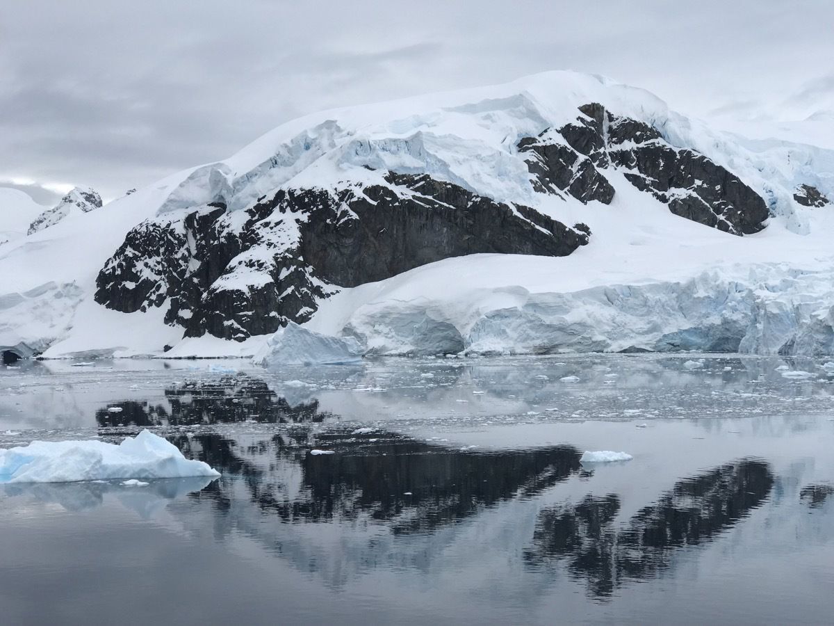
Our scheduled landing wasn’t until 11:30 this morning and the weather was absolutely perfect. No wind, no snow and I didn’t need to even wear gloves today.
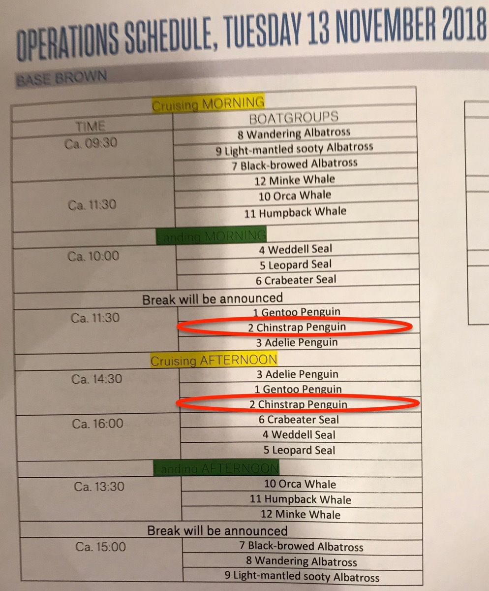
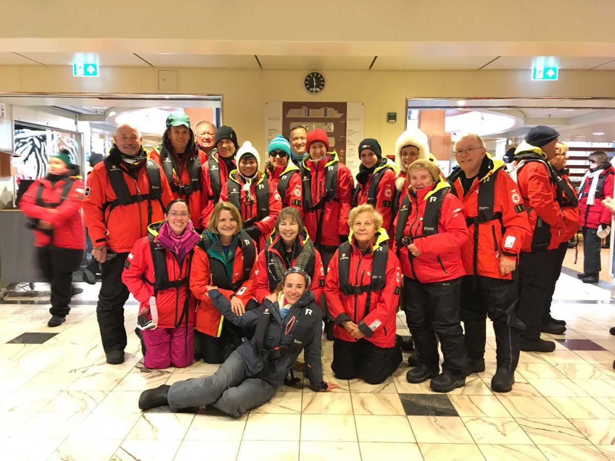
Our Zodiac group as we were waiting to board
Our landing site today was at Brown Station, the Argentine Antarctic base and scientific research station named after Admiral William Brown, the father of the Argentine Navy. Brown Station dates back to April 1951, when Argentina established the Almirante Brown Naval Detachment at Paradise Harbor. A researcher desperate to get back to the mainland after months of living in Antarctic winter burned down the station in the 1980s. The station was rebuilt and is now only manned seasonally.
At the landing there were concrete steps to walk up to get onto the land. That was a first for us!
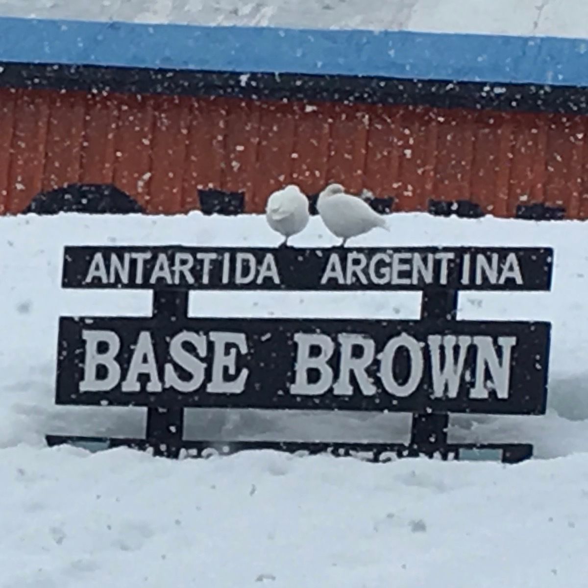
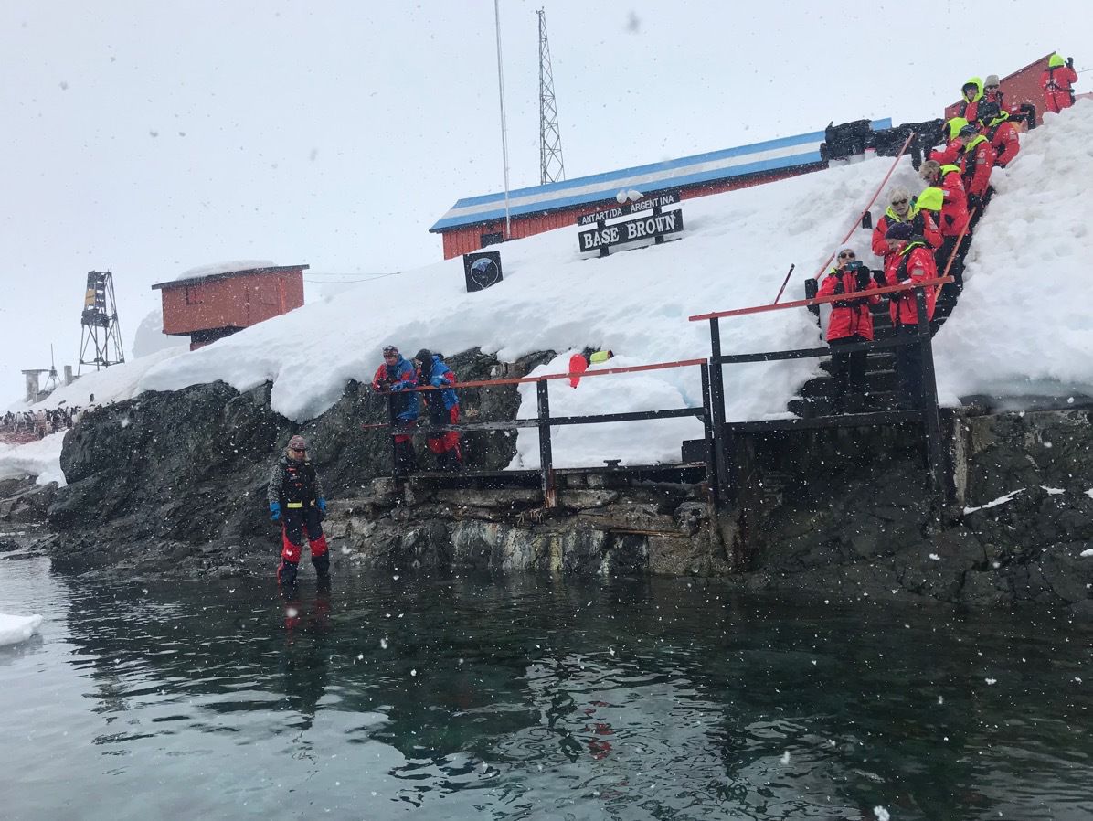
We hiked up to the top of a hill and slid down on our back which was so much fun!!!
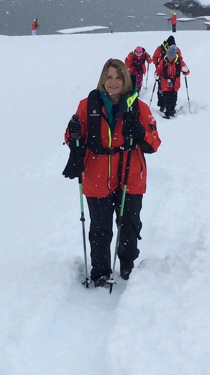
Here I am walking up the hill.
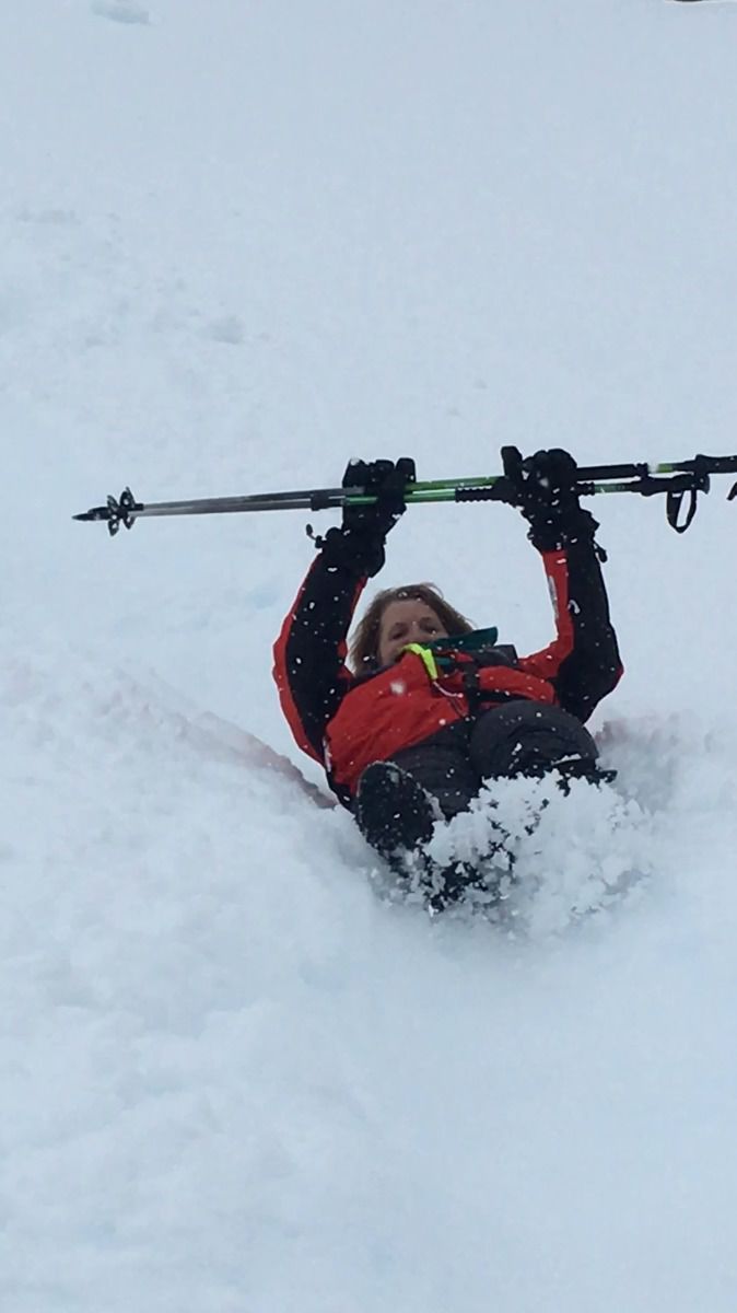
Here I am sliding back down!
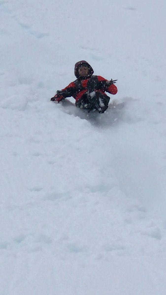
Here’s Tom sliding down the hill!
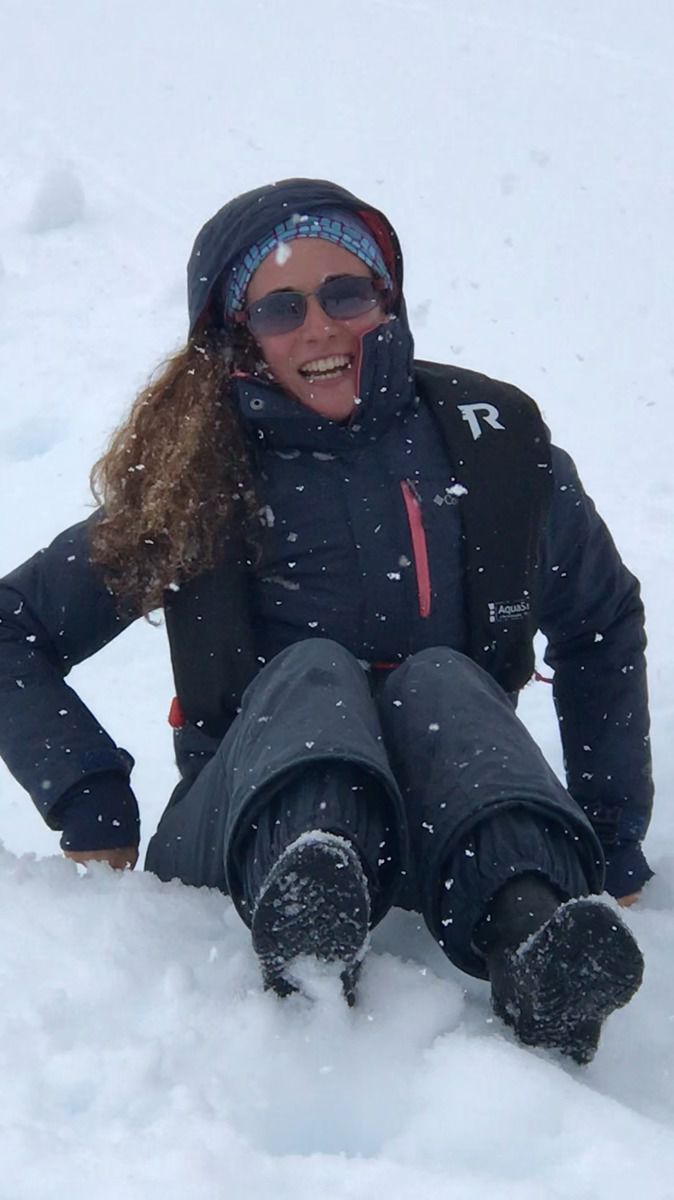
Valerie, our fearless leader!
We were scheduled to go back out for our cruise at 2:30, but it started snowing. When we looked out the window and saw our Zodiac, we decided to stay in the ship.
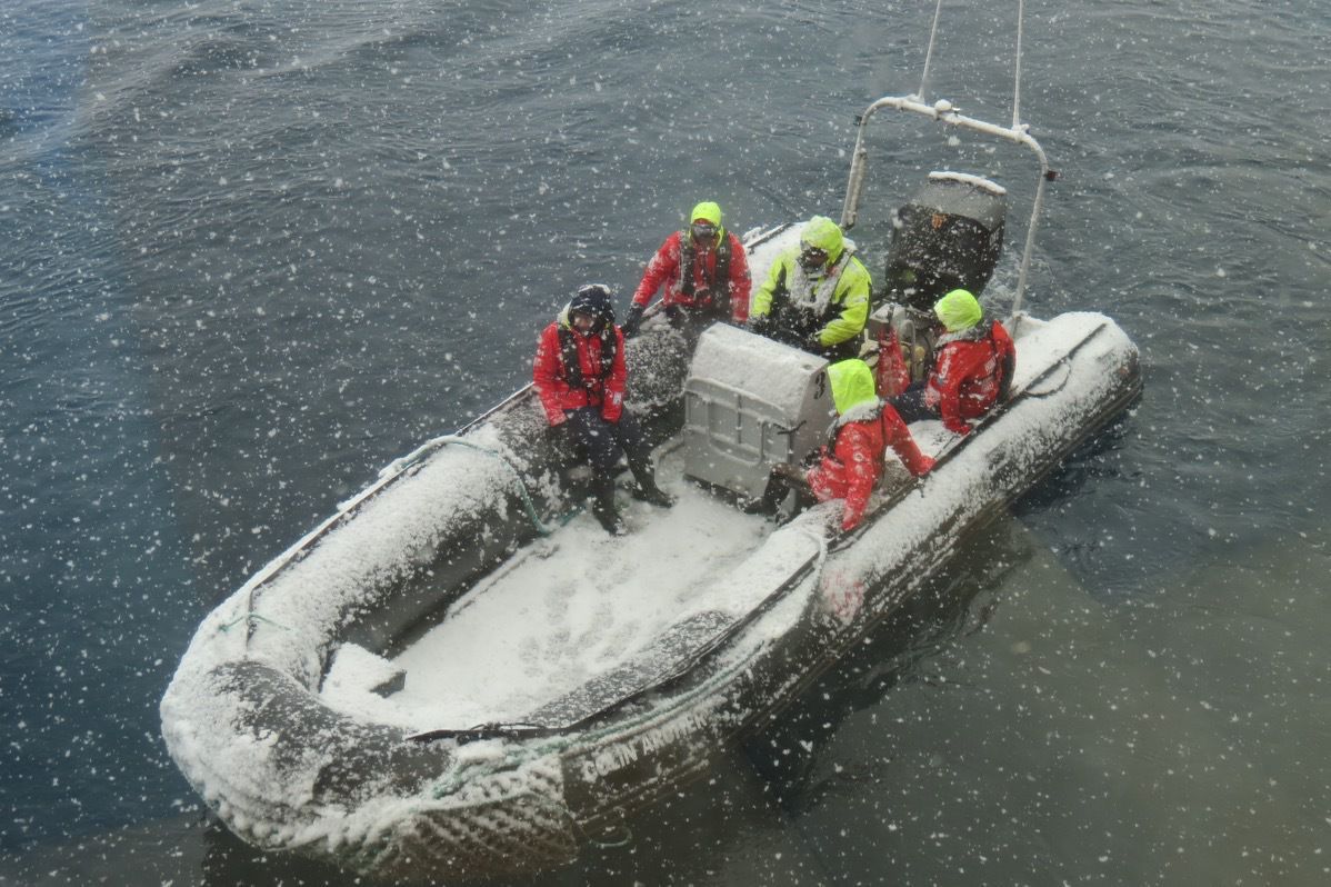
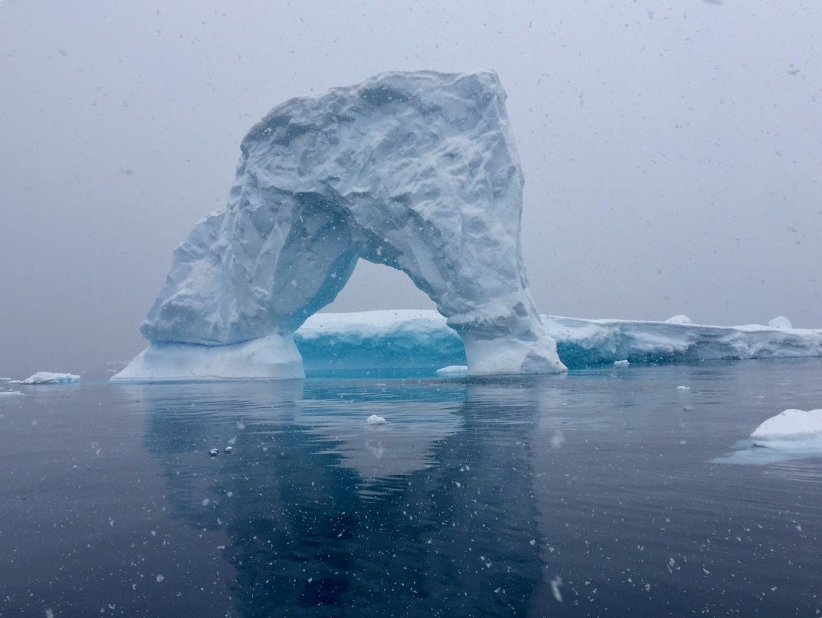
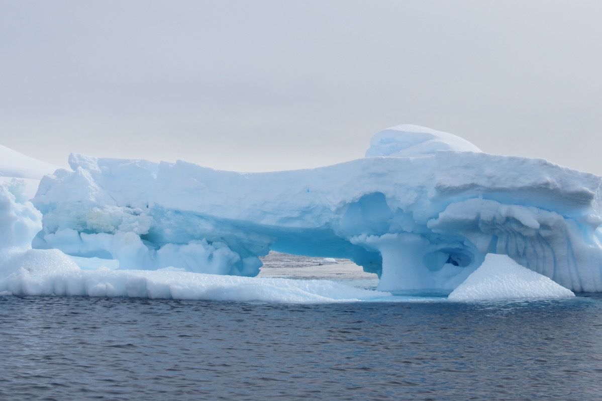
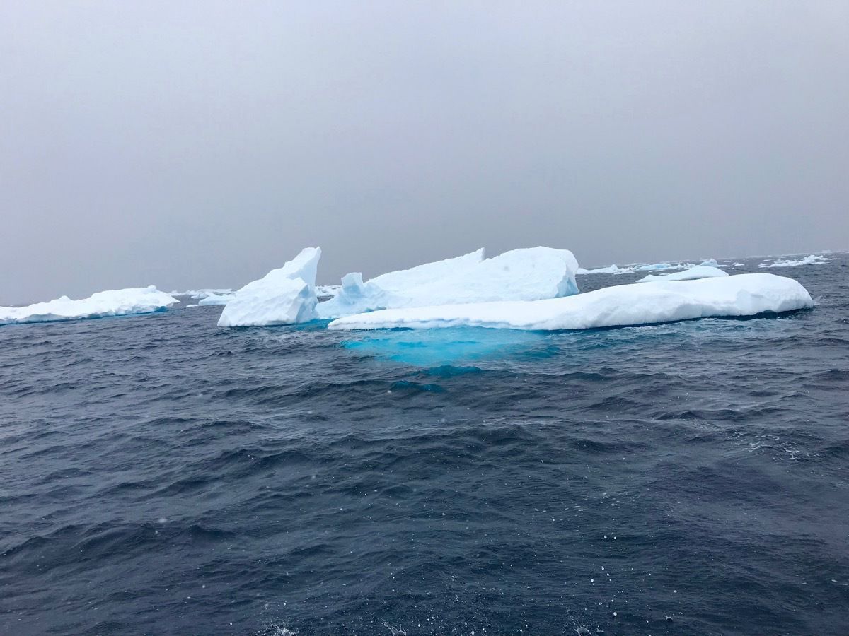
A beautiful arched iceberg
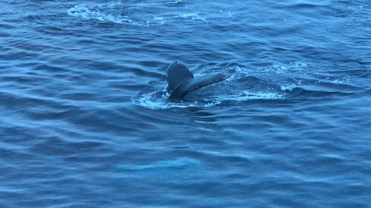
After dinner there were a group of at least four humpback whales swimming along side our ship. Here’s my tale of a whale.
-
Cuverville Island, Antartica - Landing #4
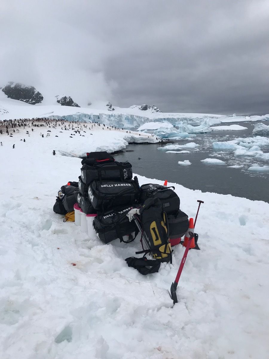
Today was our third landing and the weather was perfect! Our time to go ashore today was 9:15. We were told that 4800 penquins live on this island and we were certainly not disappointed when we arrived. There were gentoo penguins everywhere!!!
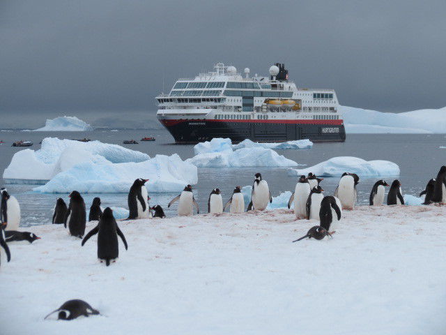
Everyday we go ashore, the expedition crew from the ship brings enough provisions for the people that go onto the island to stay for 24 hours in case they can’t get us back to the ship: blankets, tents, food, “chamber pot,” etc.
As though being on the island wasn’t exciting enough, Tom got a zoomed image of the captain performing a wedding ceremony. Talk about a
destination wedding!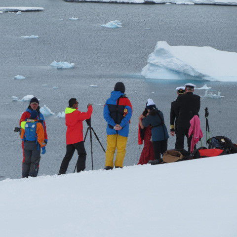
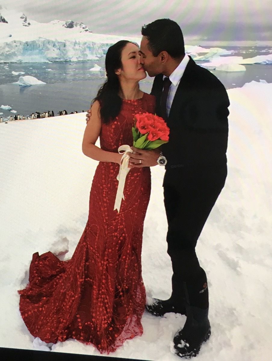
The bride and groom with penguins as the witnesses.
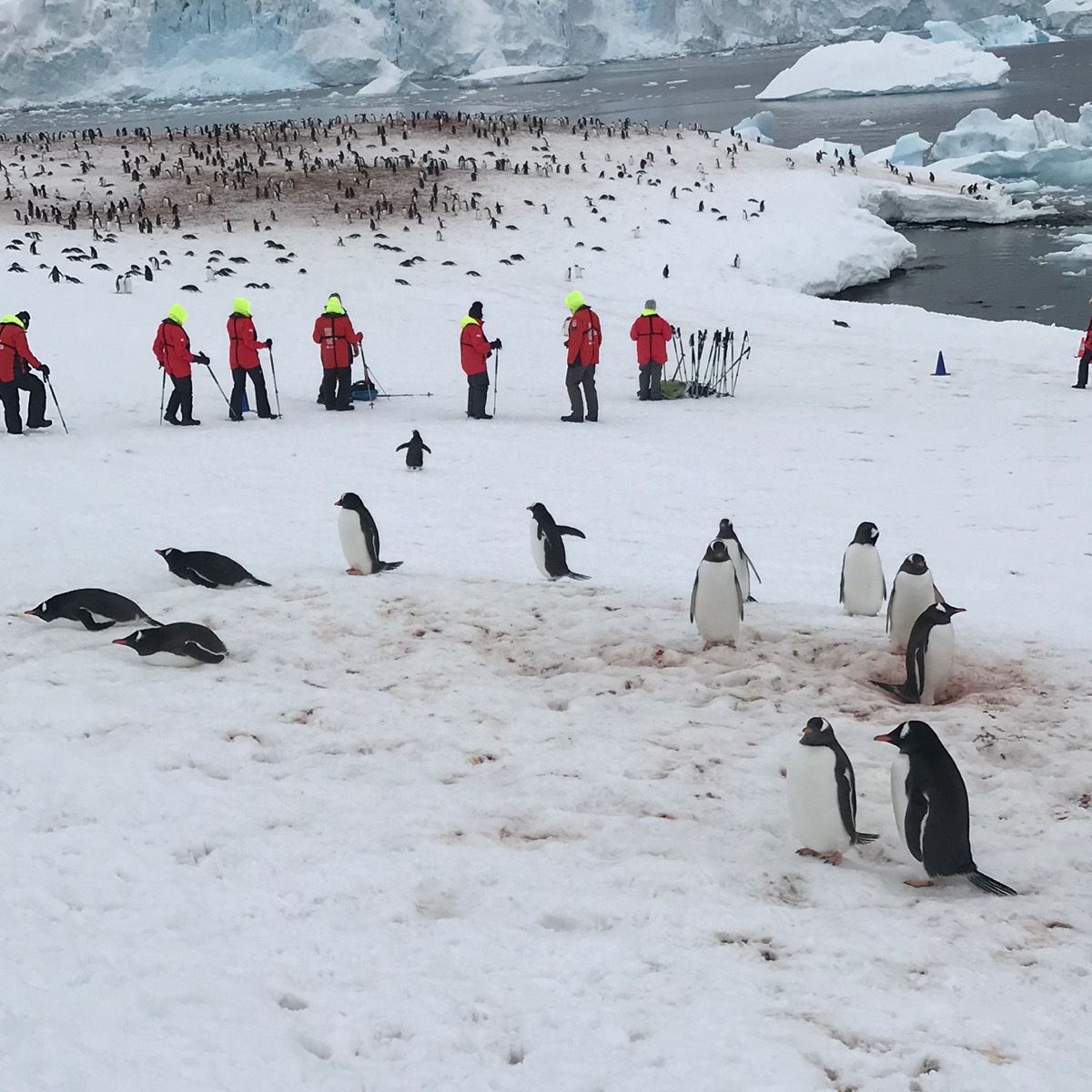
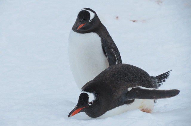
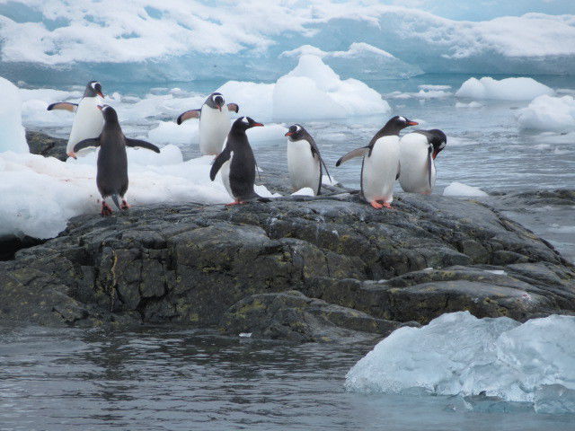
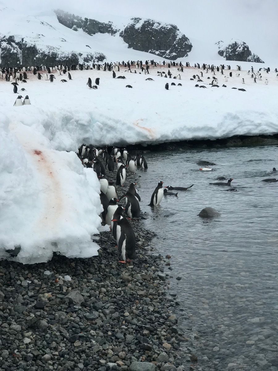
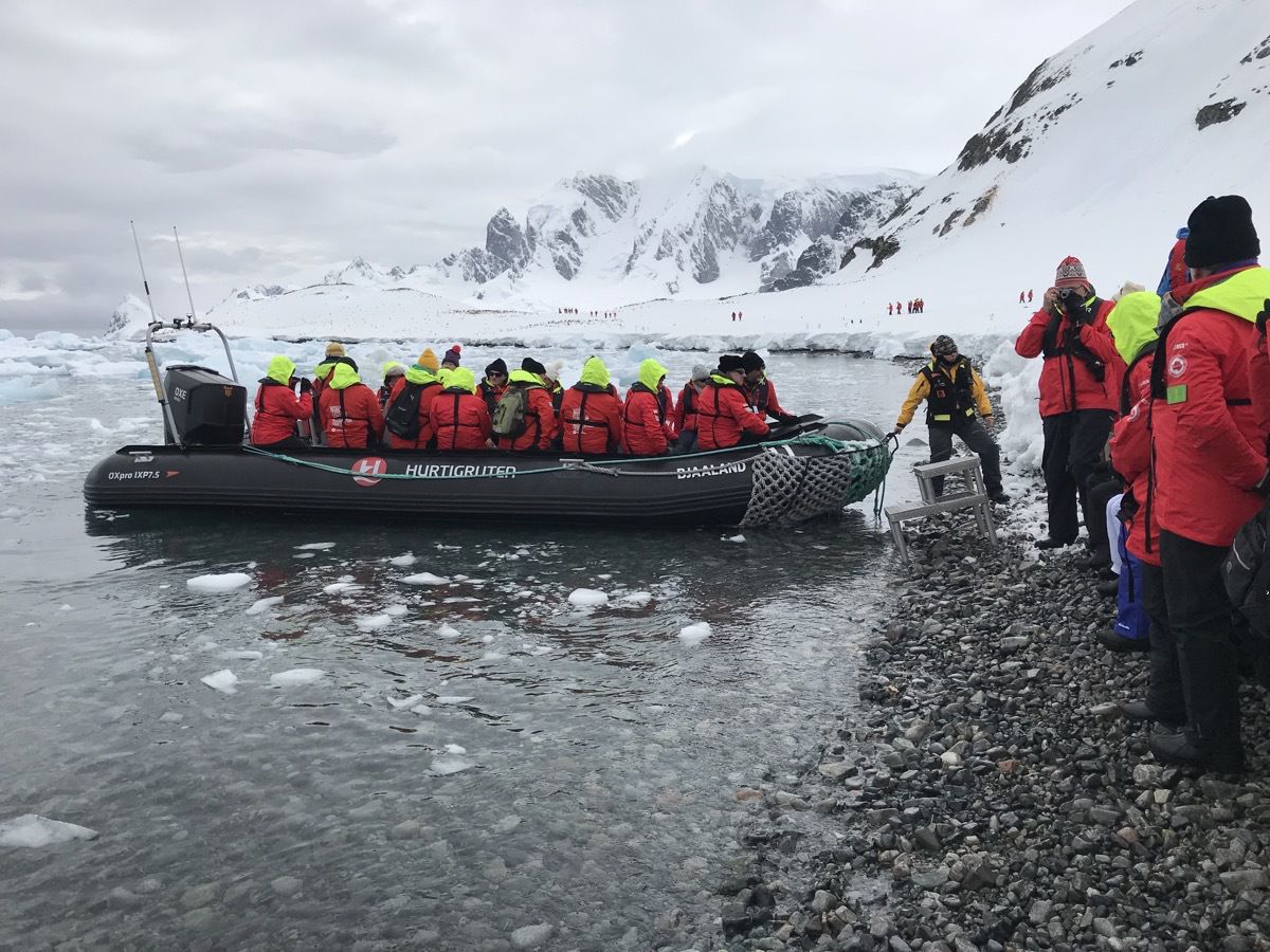
Afternoon cruising
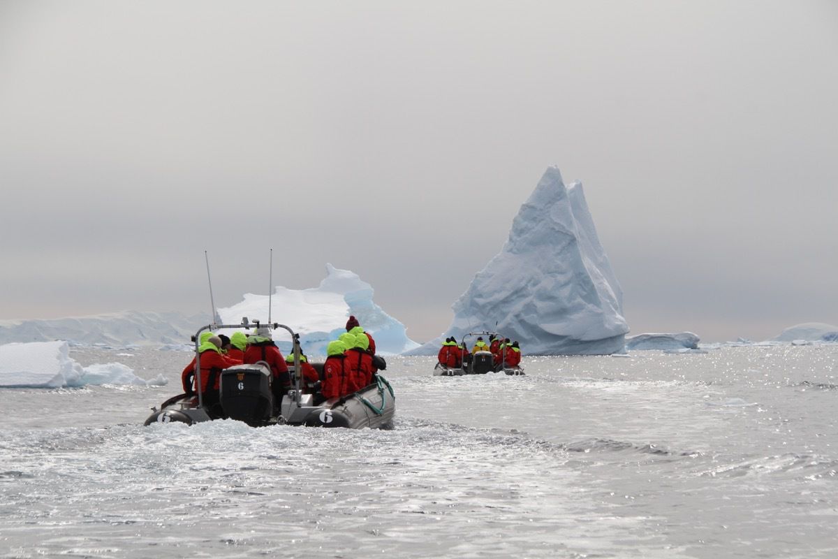
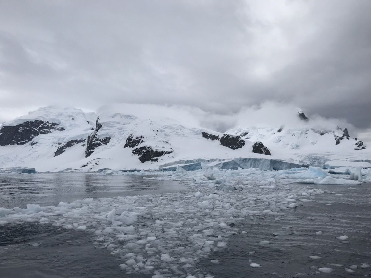
Our afternoon cruise was in the bay among icebergs. Very spectacular.
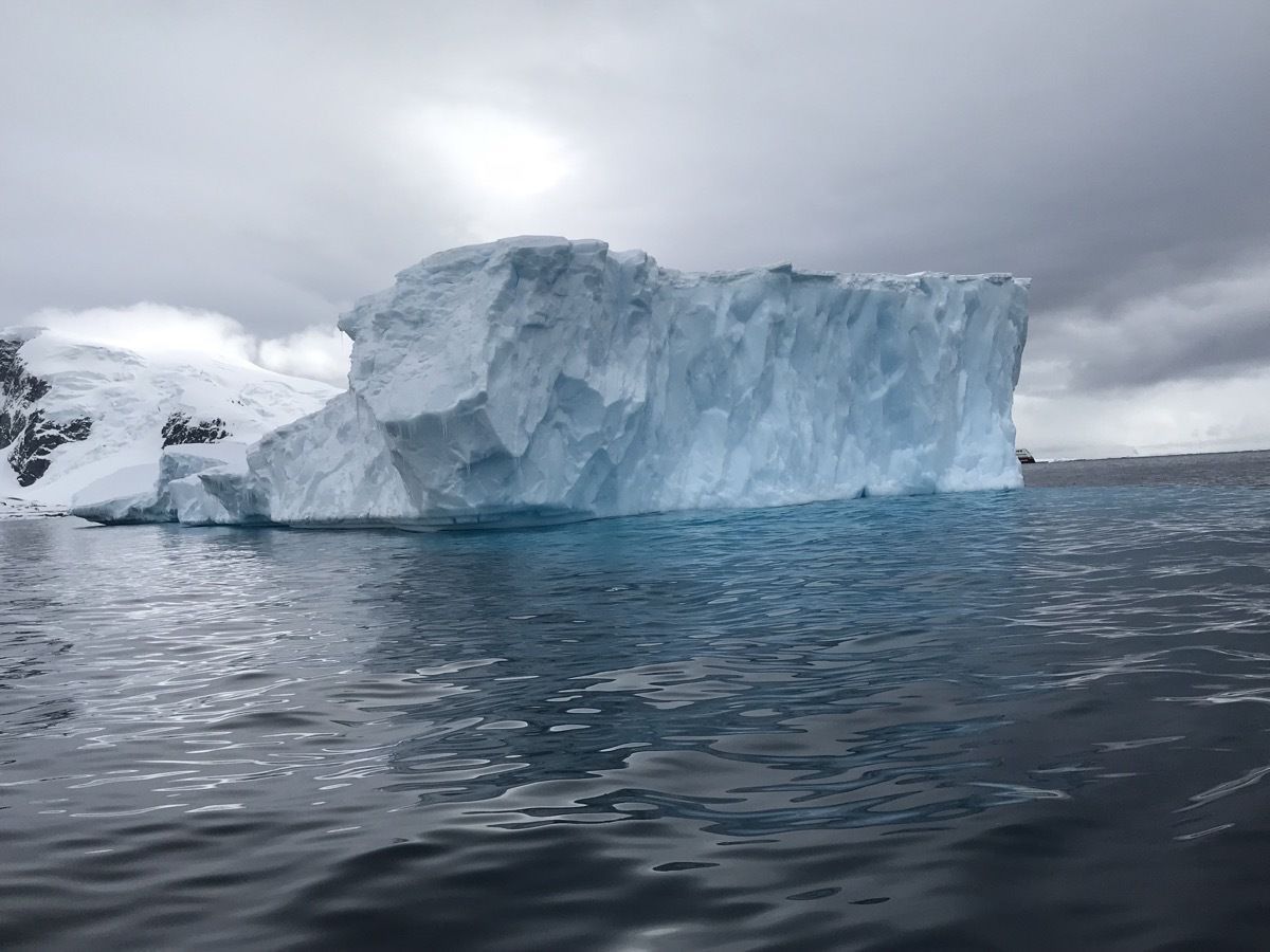
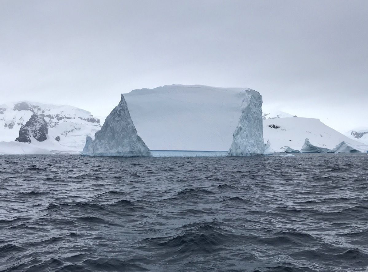
This iceberg looks like a drive in movie screen. I wonder what is playing tonight? March of the Penguis???
During this afternoon cruise in our Zodiac one group saw a Emperor Penguin (we did not). The expedition leader has been doing trips here for 10 years and has never seen one—and she was not part of the group that saw one today.
Evening pictures from the ship
We are spending the night in Paradise Cove. Notice how smooth the water is!
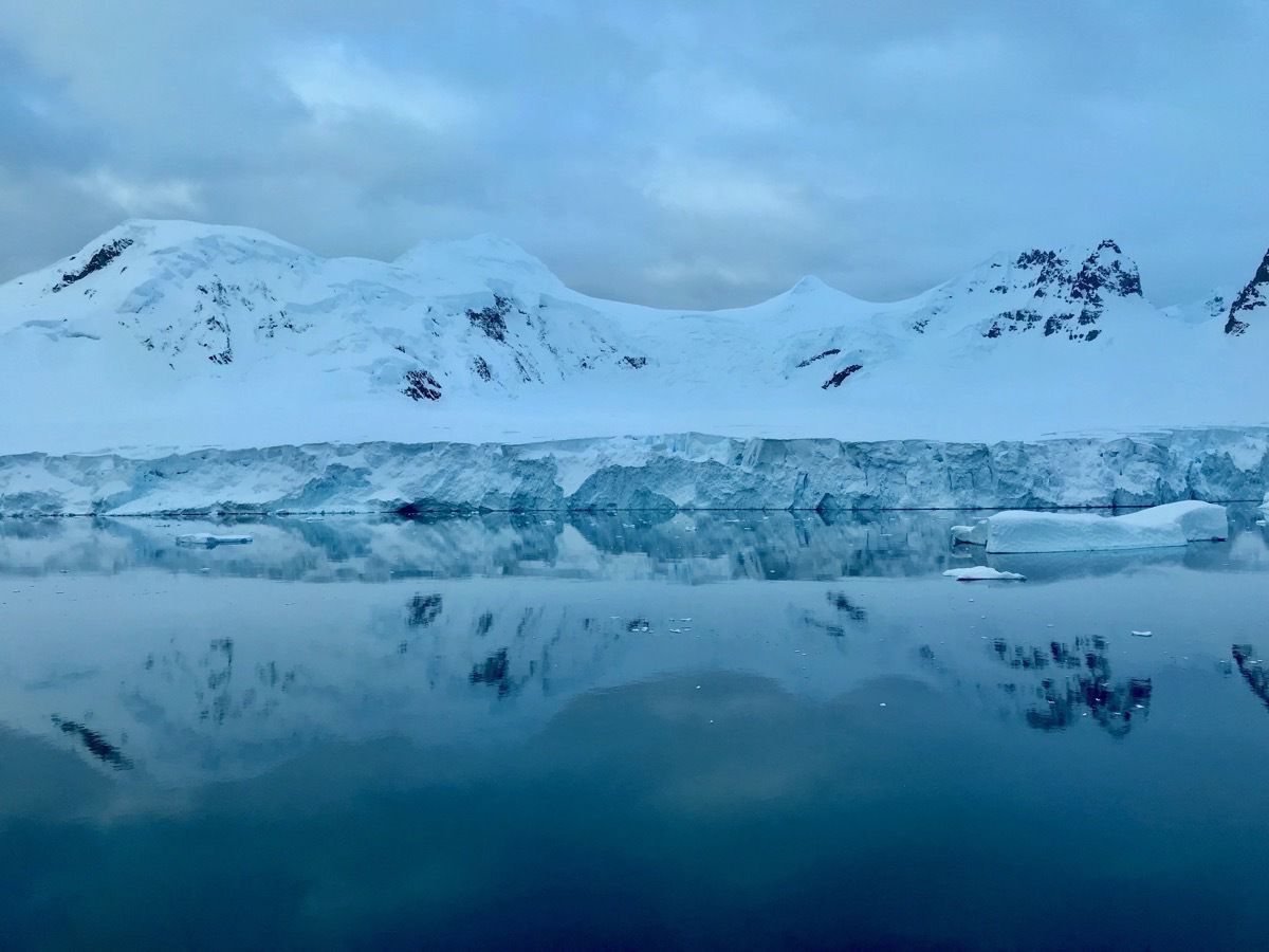
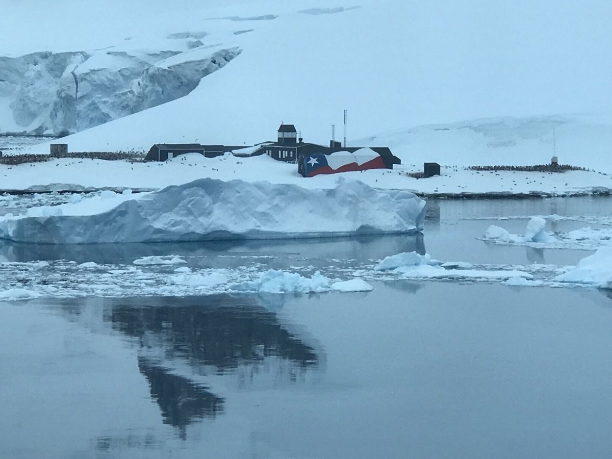
This is the Argentina research station called Brown Station. They have not arrived yet for the summer season.
-
Orne Harbor on the western peninsula of Antartica - Landing #3
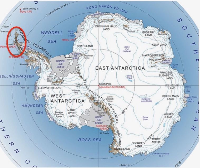
The One Harbor, located on the Danco Coast of the Western Peninsula in an area called Graham Land.
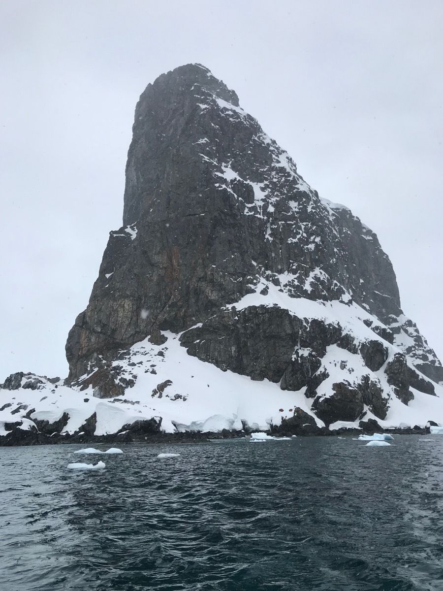
We had two different activities going on today. We were able to take a cruise of the Harbor (in a Kodiak) and land and climb up a mountain, a “moderate” climb, to a vantage point overlooking the spectacular Errera Channel, Gerlache Strait and Anvers . Chinstrap penguins nest along the ridge of these mountains. This afternoon’s Kodiak cruise went around the channel, getting a close view of Spigot peak and its population of penguins and cormorants. The cruise continued on through a sea of icebergs.
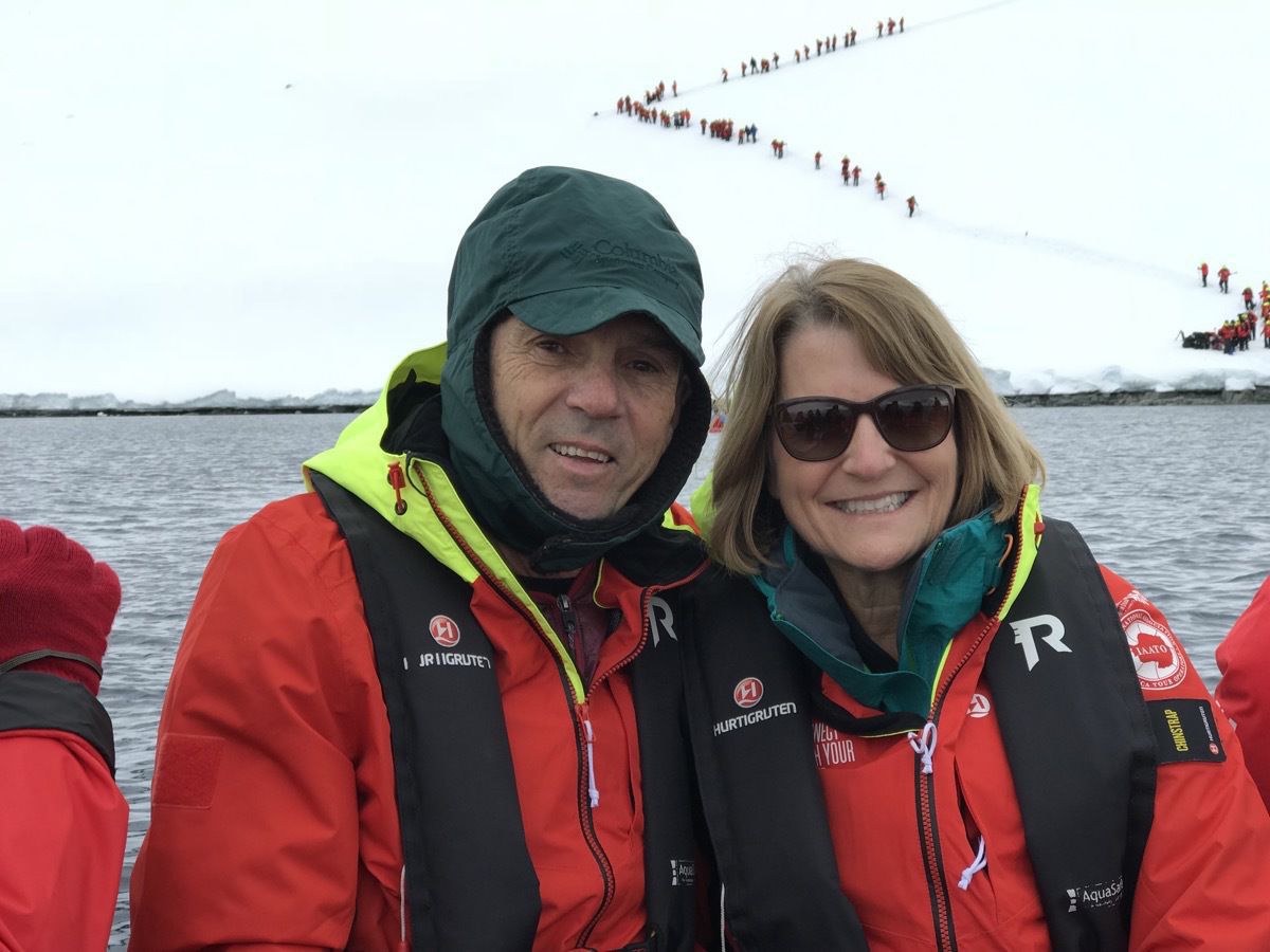
Here we go on the Zodiac to the landing behind us in this picture.
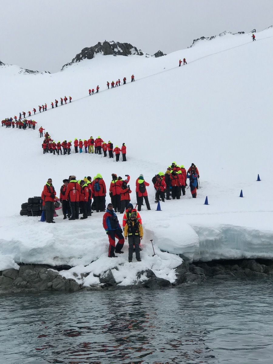
Here we grabbed our poles and started the trek to the top of the ridge when the chinstrap penguin colony is located. This is a much trickier climb than it may appear in this picture.
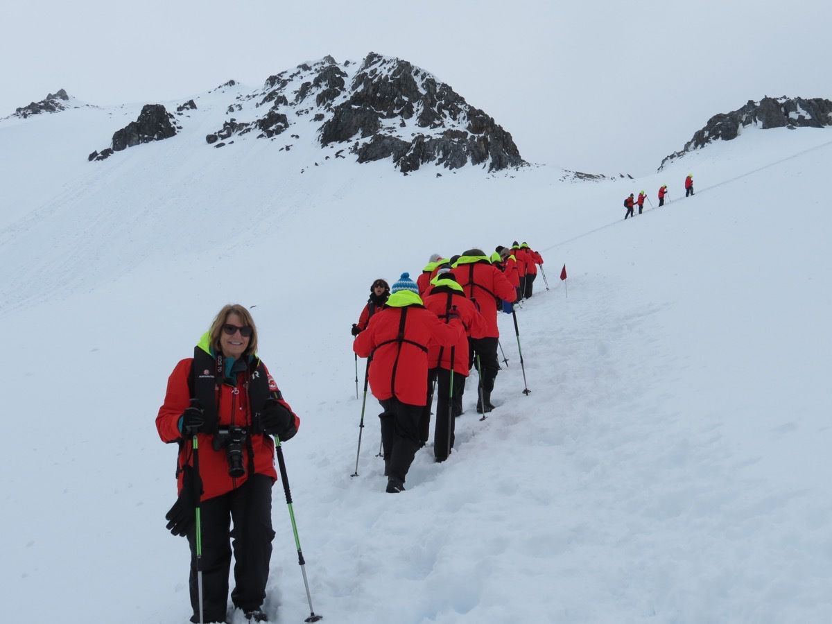
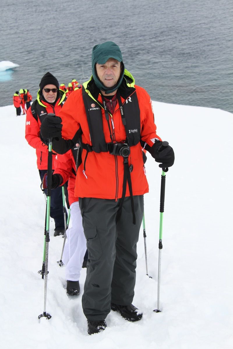
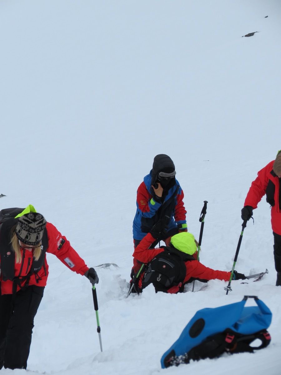
This is me—and Tom was so gracious to catch a picture. I had a very hard time getting back up.
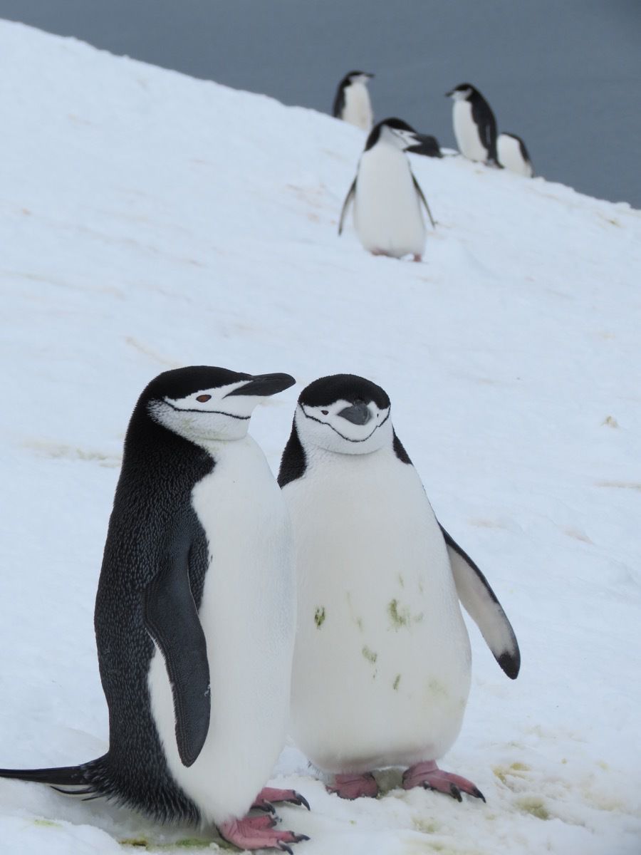
Chinstrap Penguins
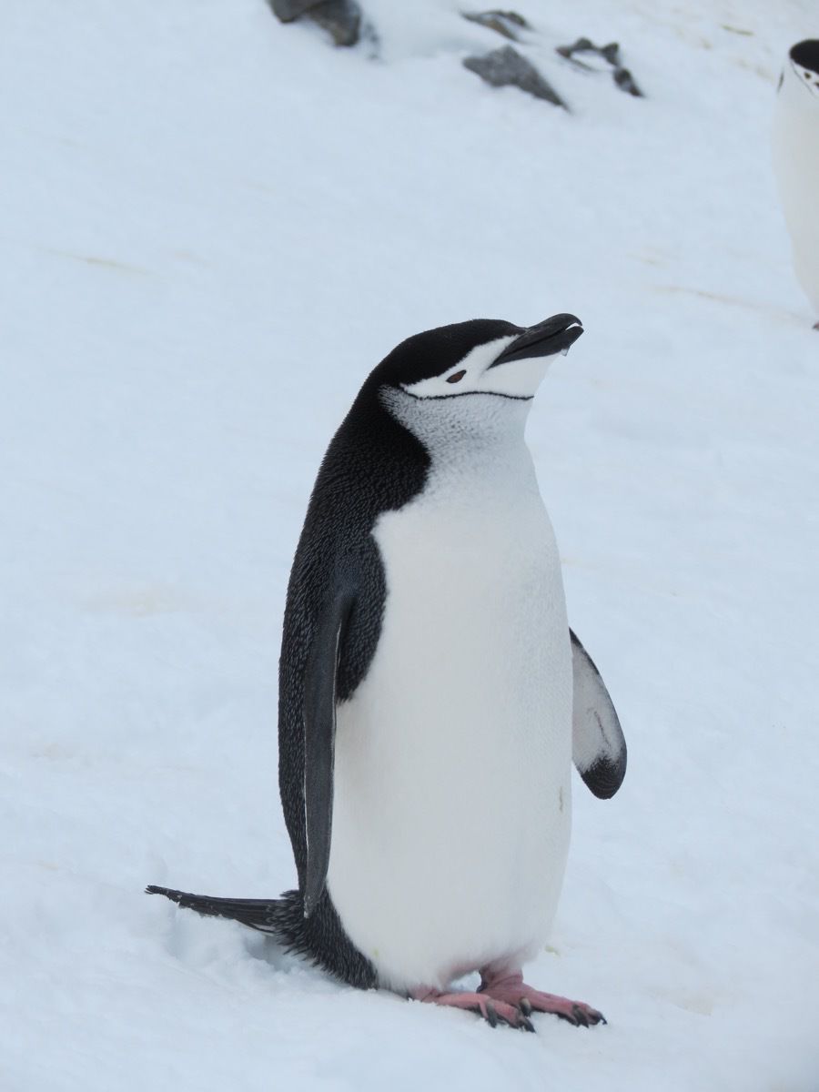
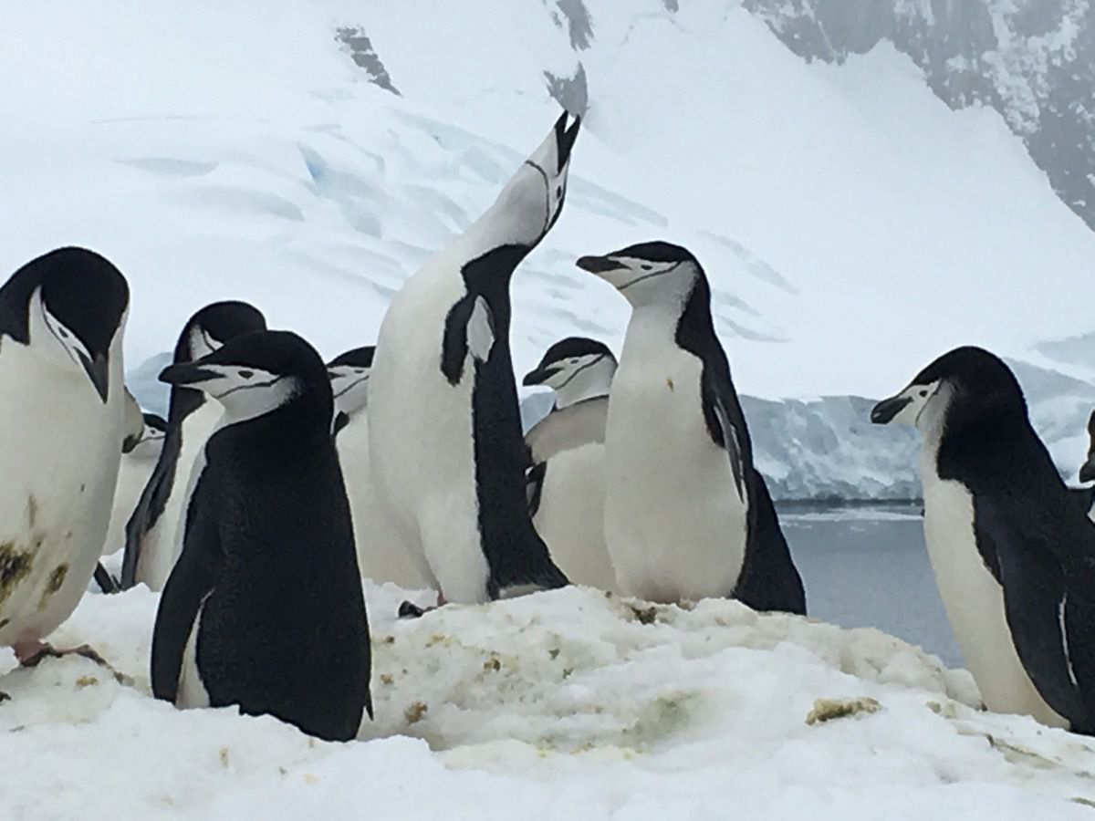
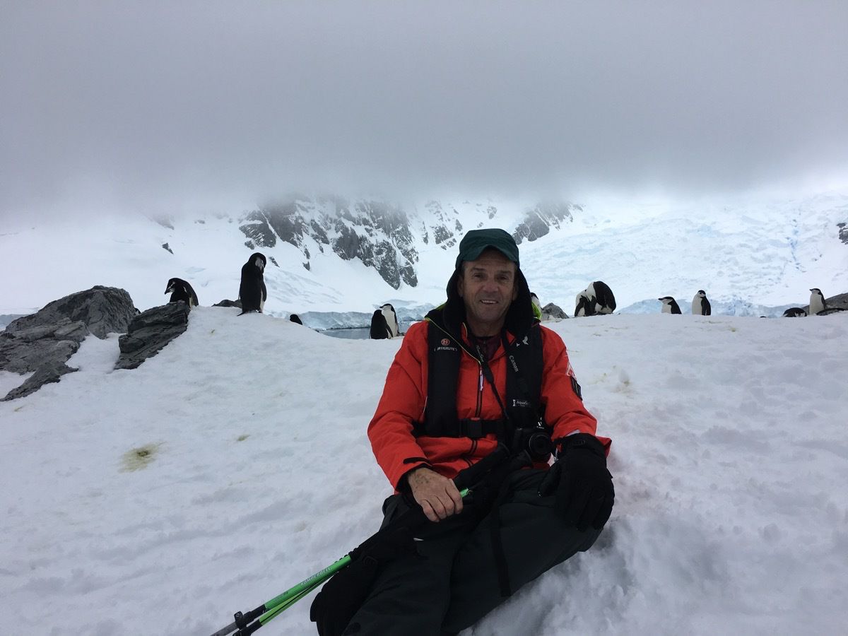
Tom at the very top with the chinstrap penguins in the backgound.
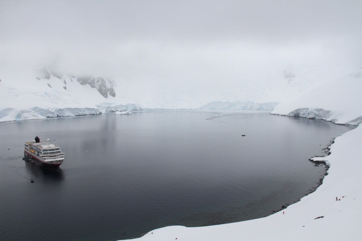
Our ship waiting for us in the middle of the bay.
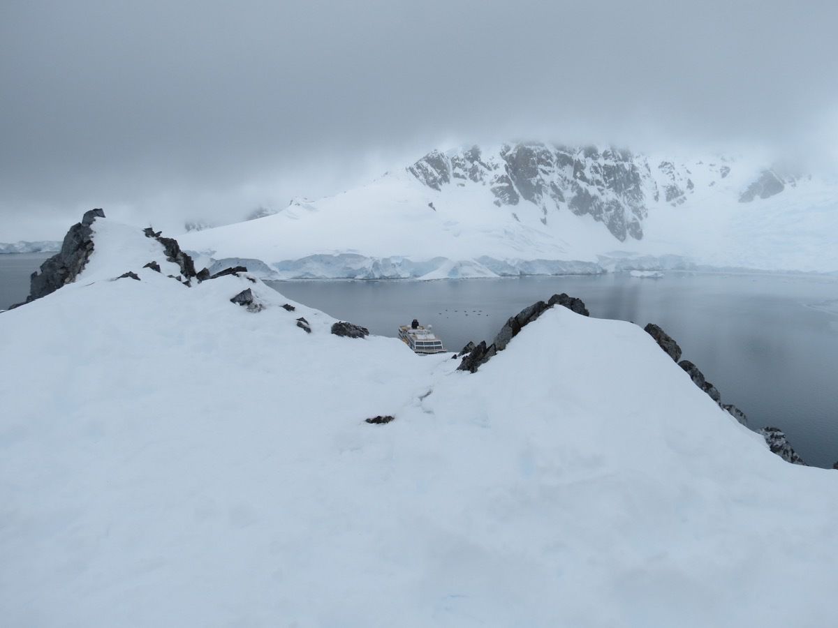
View from the top
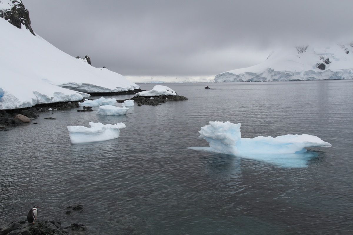
Check our the two penquins in the bottom left corner looking into the bay.
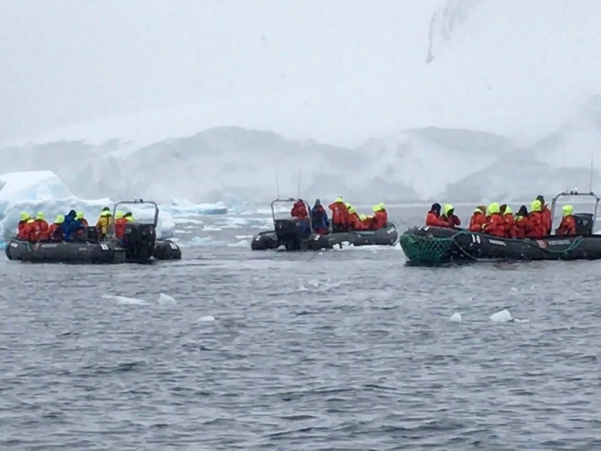
Cruise of the harbor
We came back to the ship for lunch and then went back out an out later to cruise the harbor in a Zodiac.
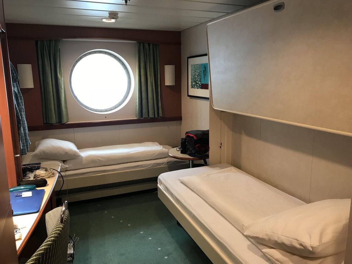
Just in case you think we are living in the lap of luxury on this trip, here is our stateroom!
-
Deception Island, Antartica
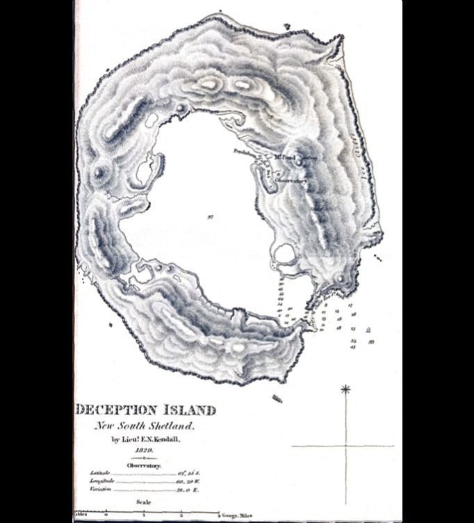
Our second landing was at Deception Island, an island in the South Shetland Islands archipelago. The island got it’s name because from the sea it looks like an island, but a portion of the wall of the volcanic caldera has collapsed, flooding the interior and creating an amazing natural harbor. Access to the interior is through the 660 feet entrance known as Neptune’s Bellows, so named for the winds which howl through. There is a rock in the middle just under the water giving a ship only 330 feet with which to navigate. Once through the Bellows, we reached Whalers Bay
In the early 1900s whalers would drag the whales back to this safe harbor, extract as much oil as they could and then leave the dead carcasses in the bay. You can imagine the smell of the decaying dead carcasses mixed with the sulphuric steam from the volcanic activity. A shore station was set up in 1912 to process the meat and bones left behind by the ships. The station closed in 1931 after modern additions to the factory ships allowed them to render the entire whale.
The volcano is still active, but the last eruptions were in 1967 and 1969.
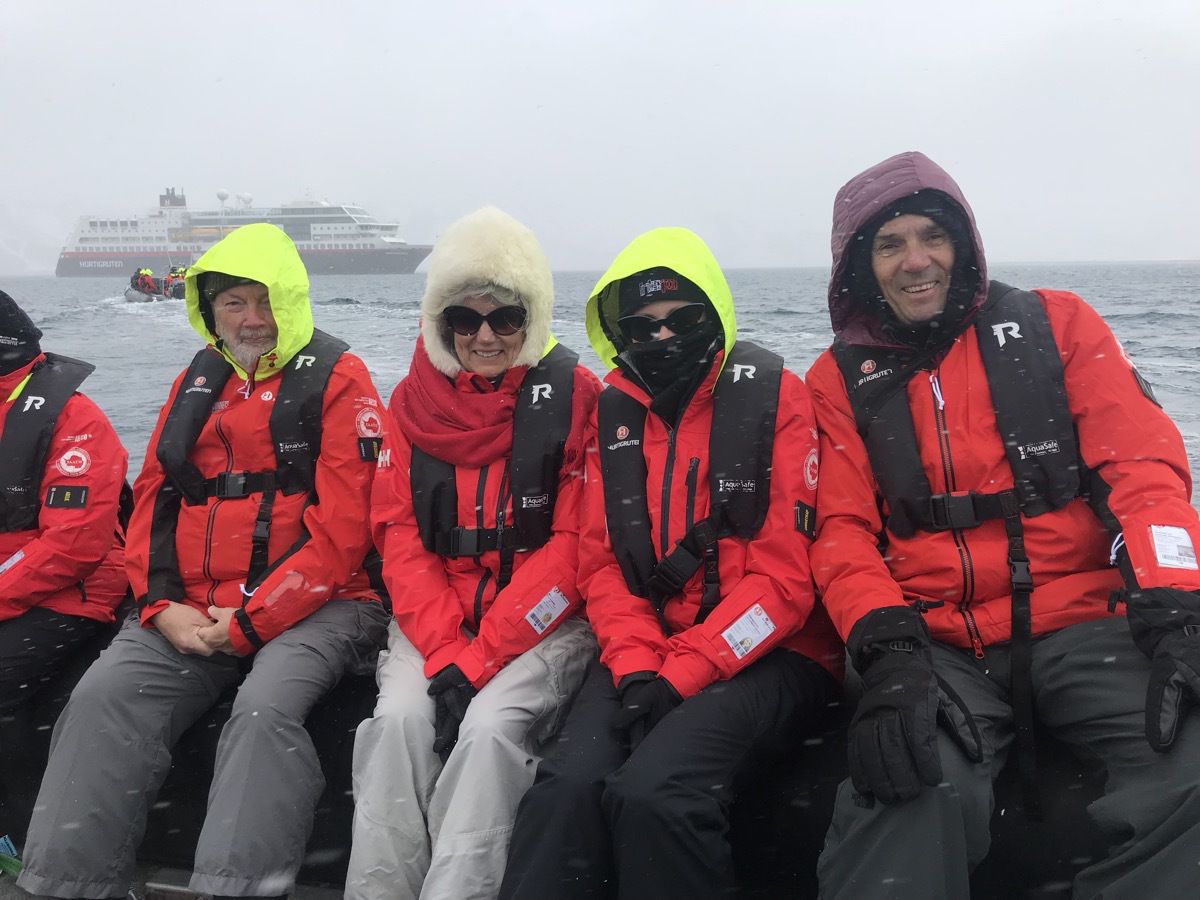
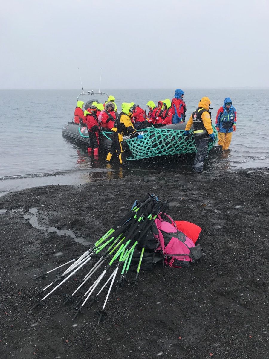
Some of our group riding to shore in a Kodiak.
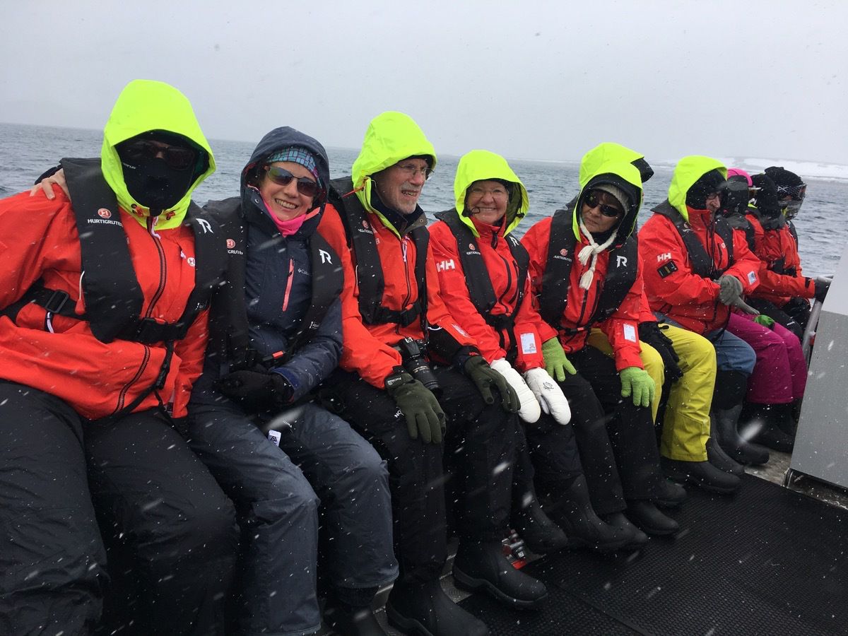
I am the one on the end riding incognito with the black mask because it was COLD!!!! Felt like 15 degrees with 19 mph winds and snow.
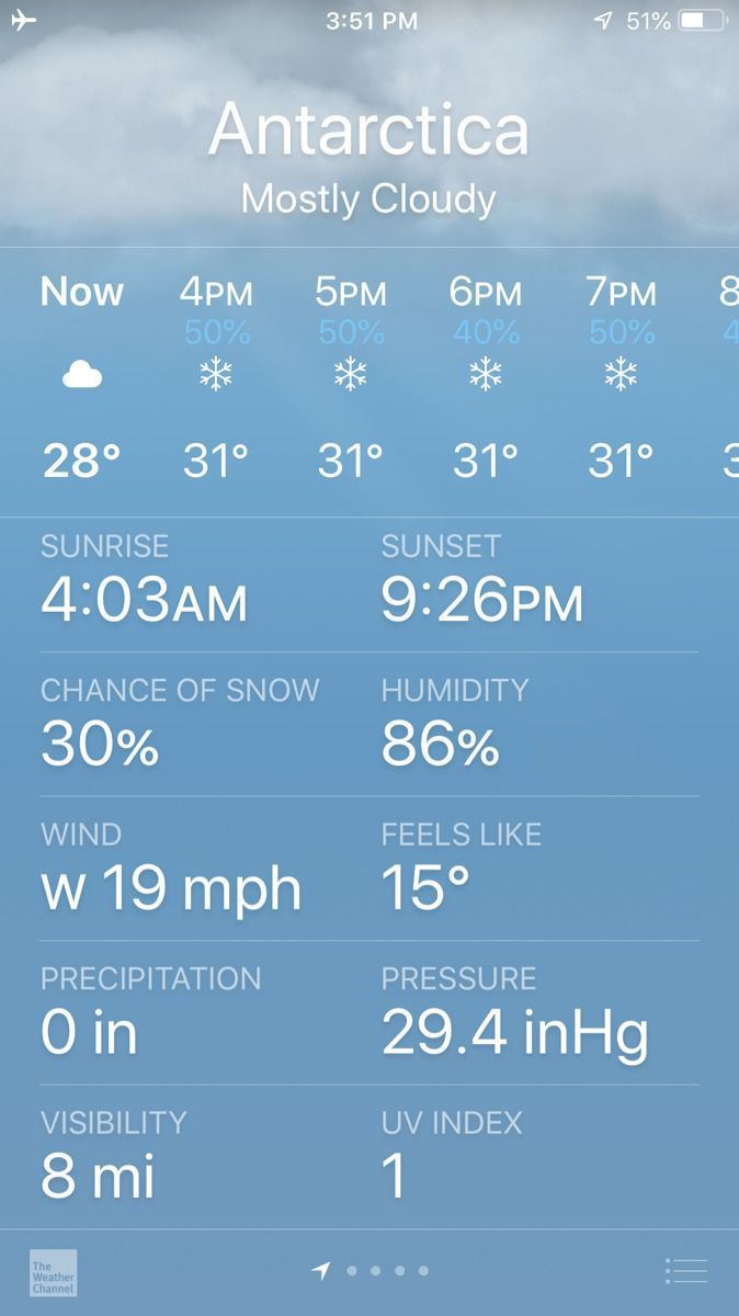
The 86% humidity makes it feel even colder!
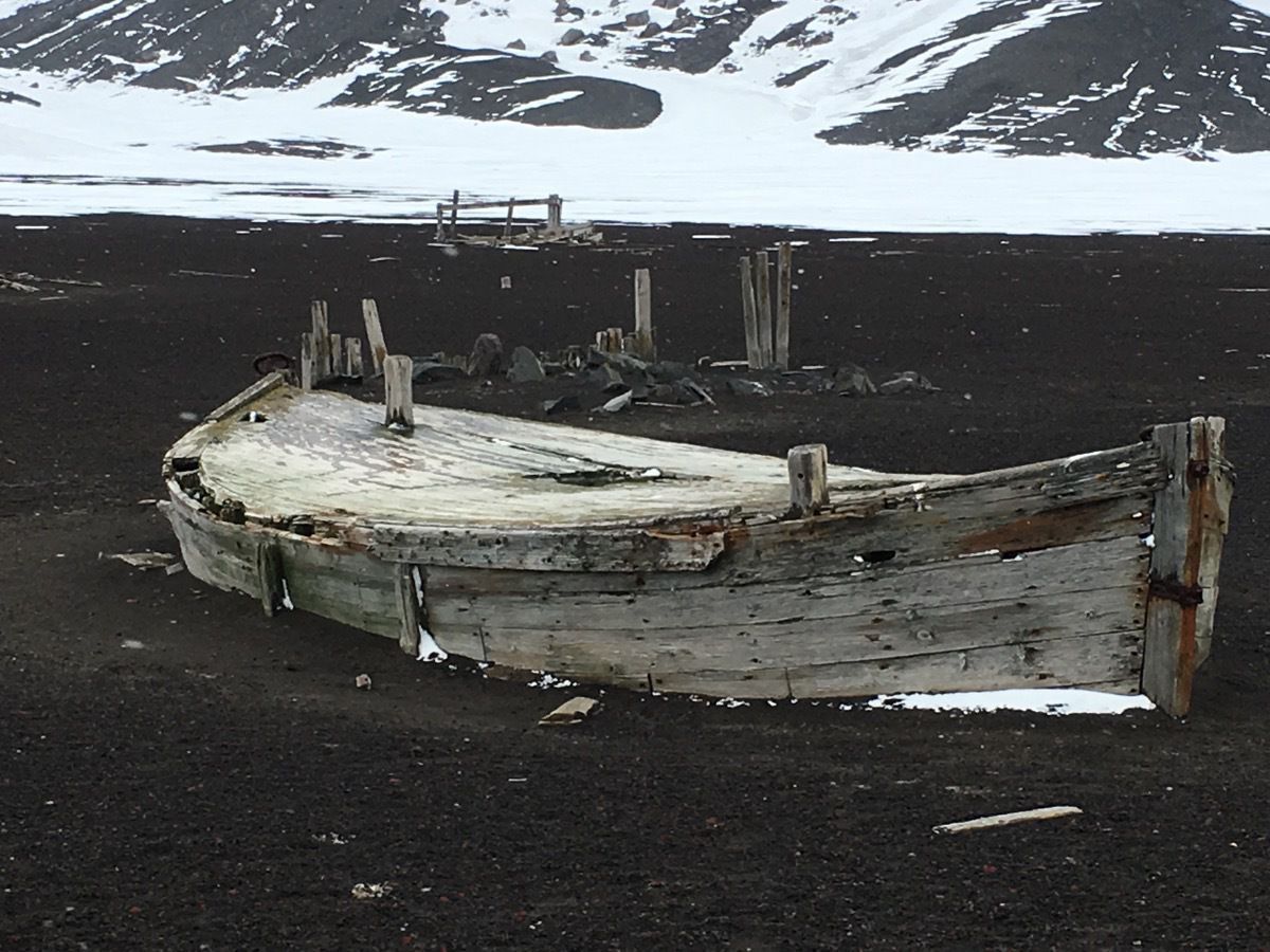
A deserted boat left on the shore.
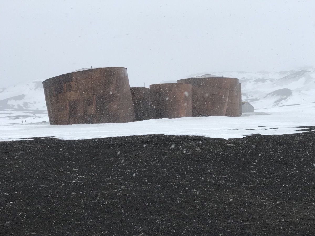
Deserted whale oil tanks from the early 1900s.
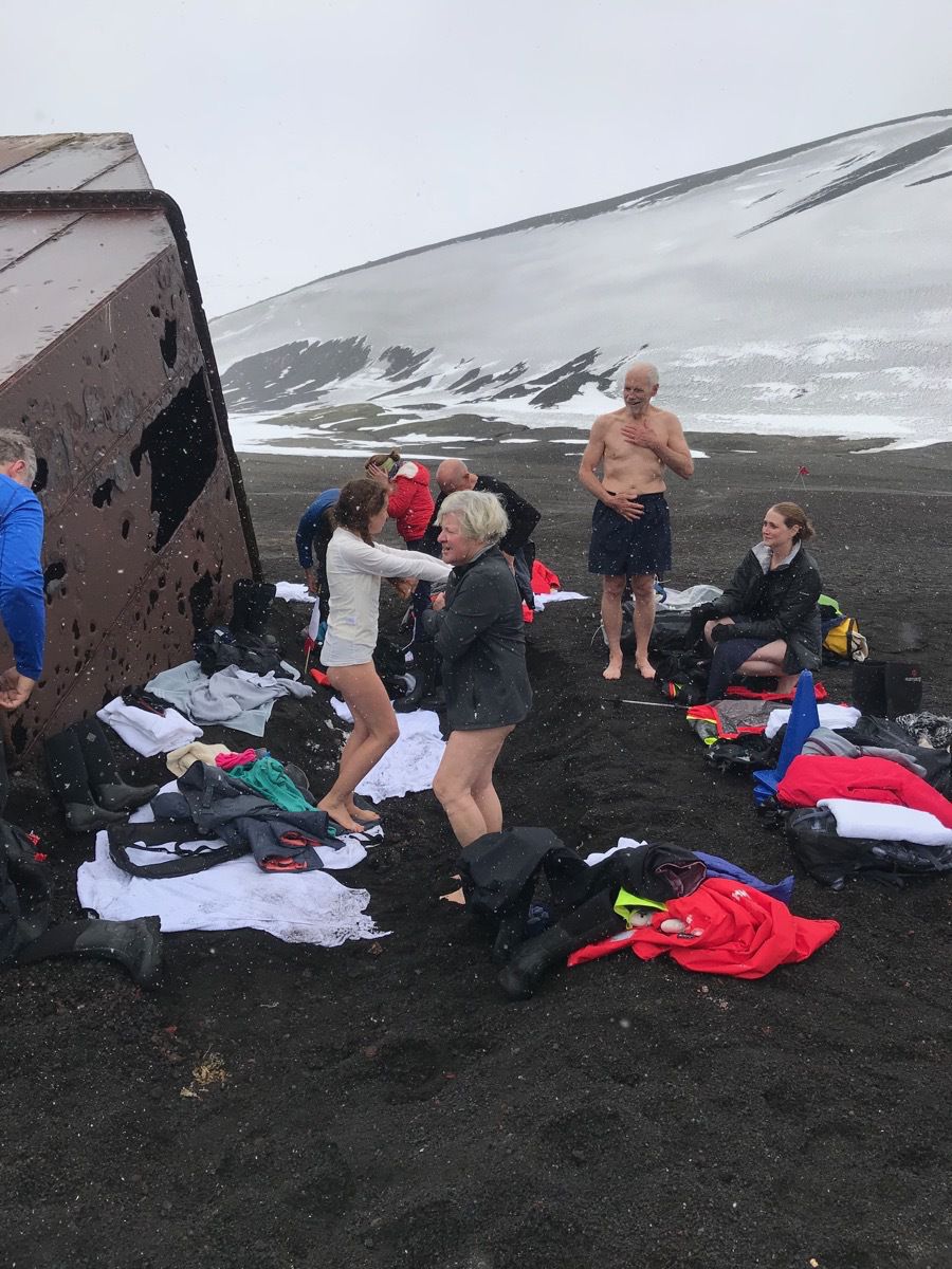 Some of our group—definitely not me—getting ready for a polar plung
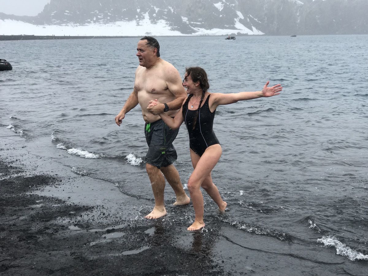 Our tour guide Valerie with another member of our group.!
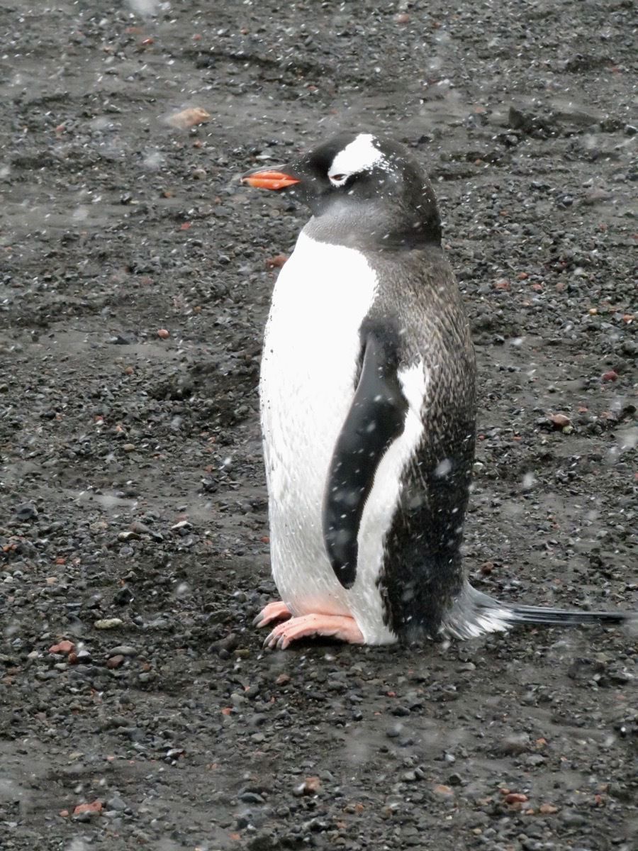
Today we only saw two gentoo penguins on shore.
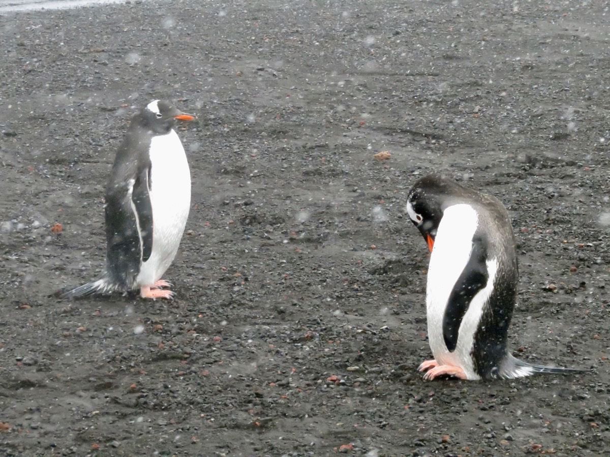
An interesting fact - a penguin leaves his home around 4-5 months and swims miles and miles away in the water for four or five years before coming back to the exact same place he was born to find a mate.
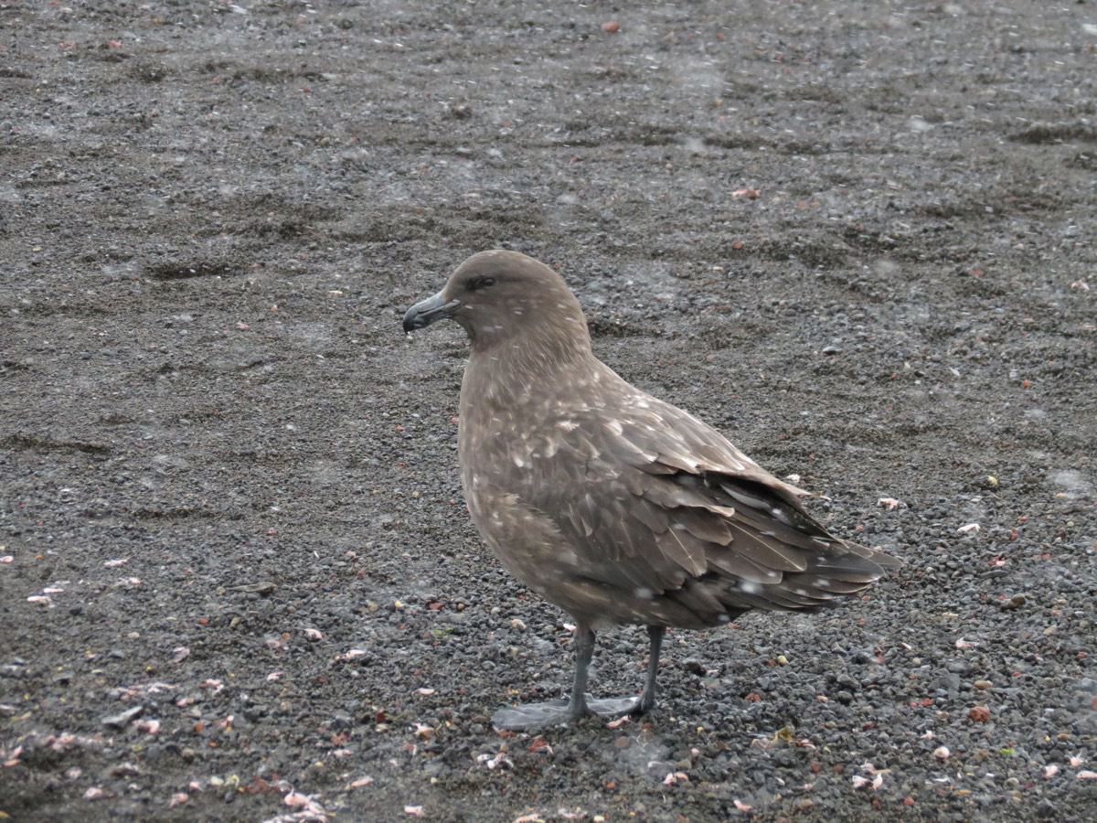
Skua is a predator of the penguins. It eats the eggs and the young penguins
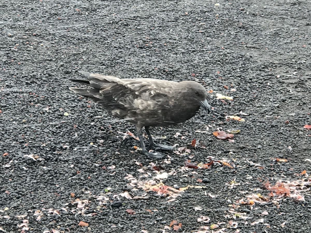
Here is a skua eating cooked creel ( like small shrimp). The sulphuric gases and the steam from the volcano poison the creel and cook them. The penguins doin’t each these, but the skua does.
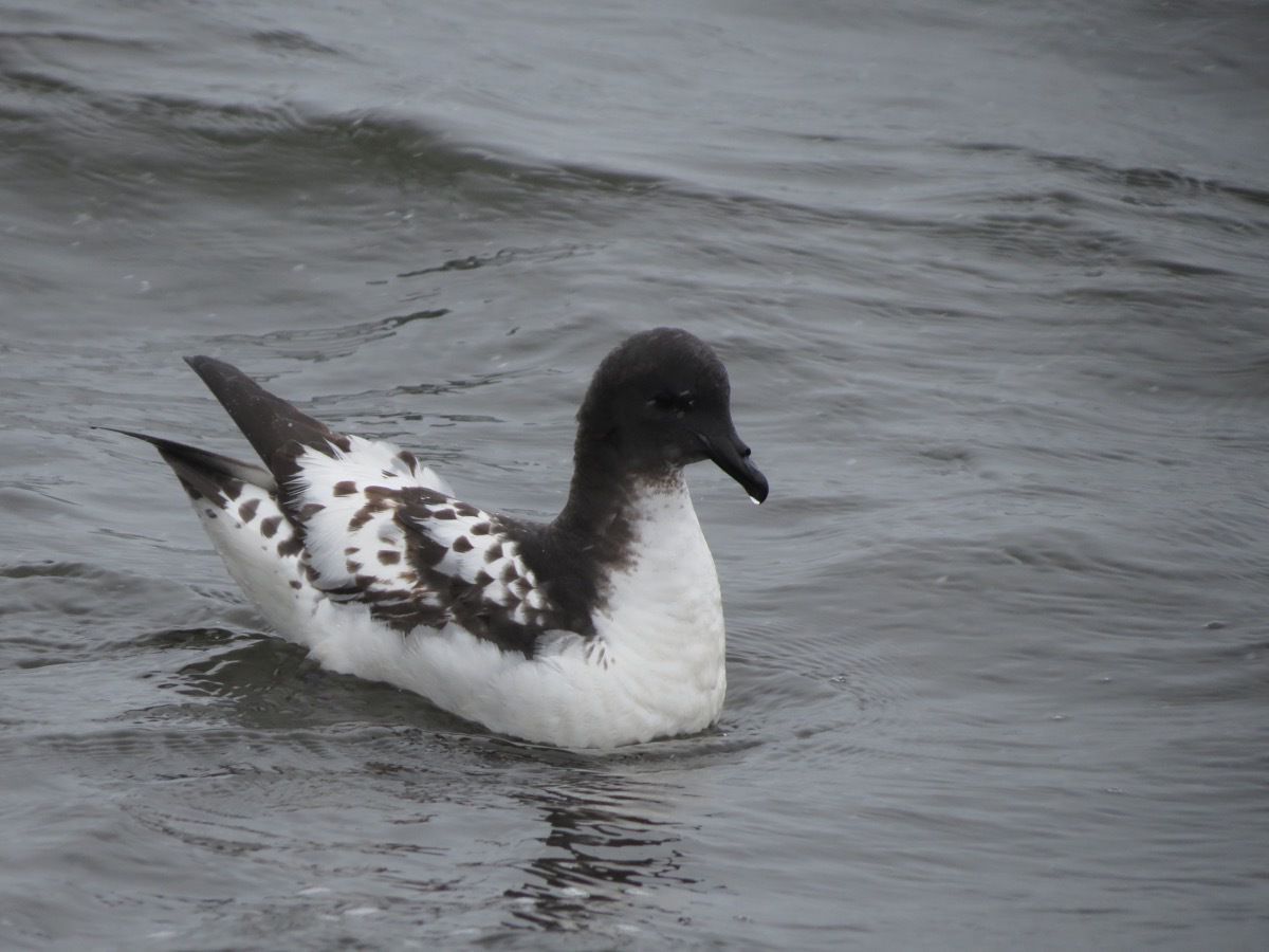
Cape Petrel
-
Half Moon Island, Antartica
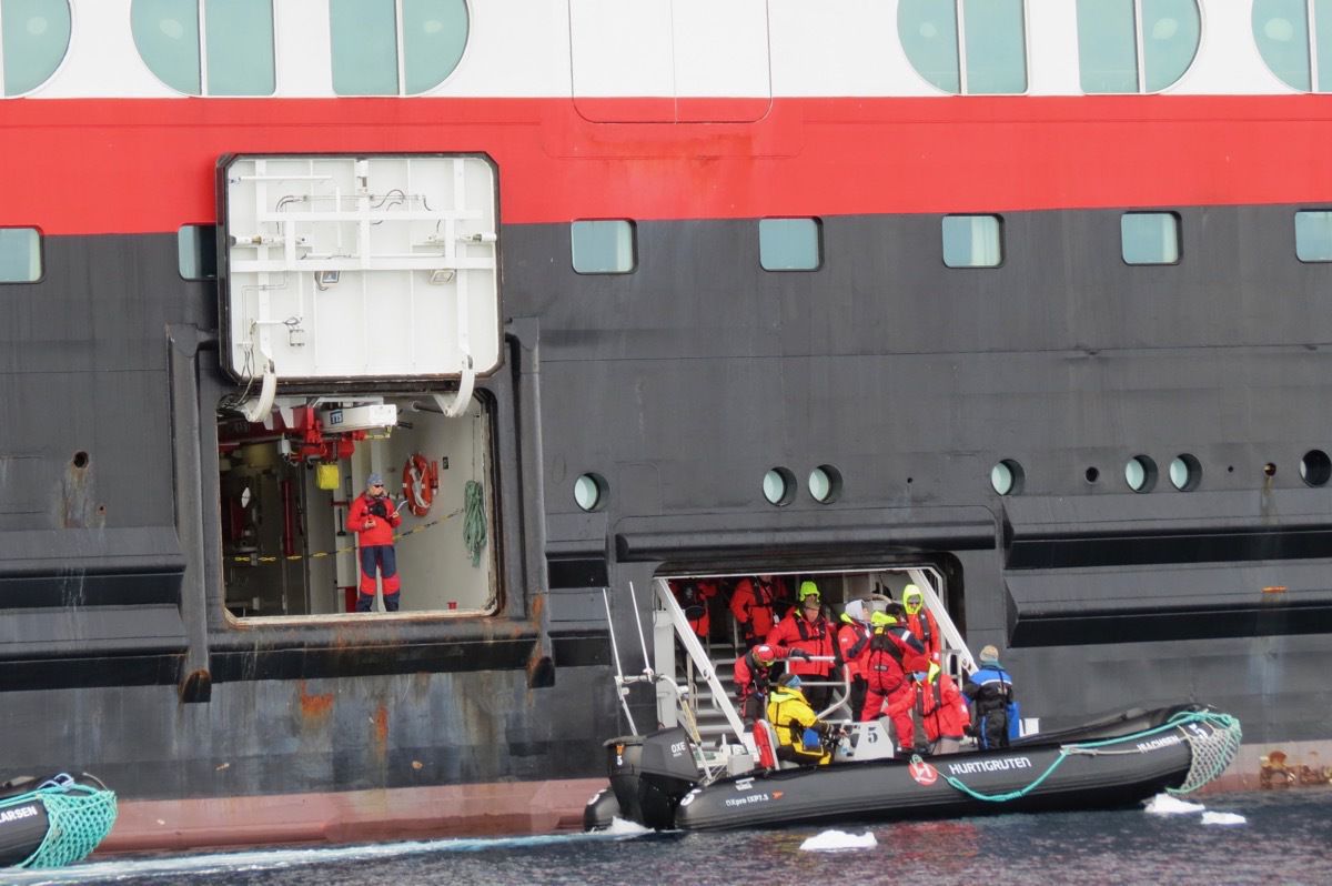
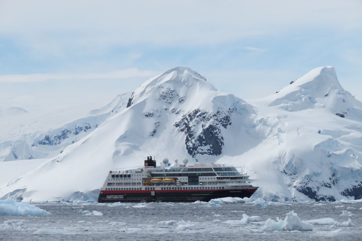
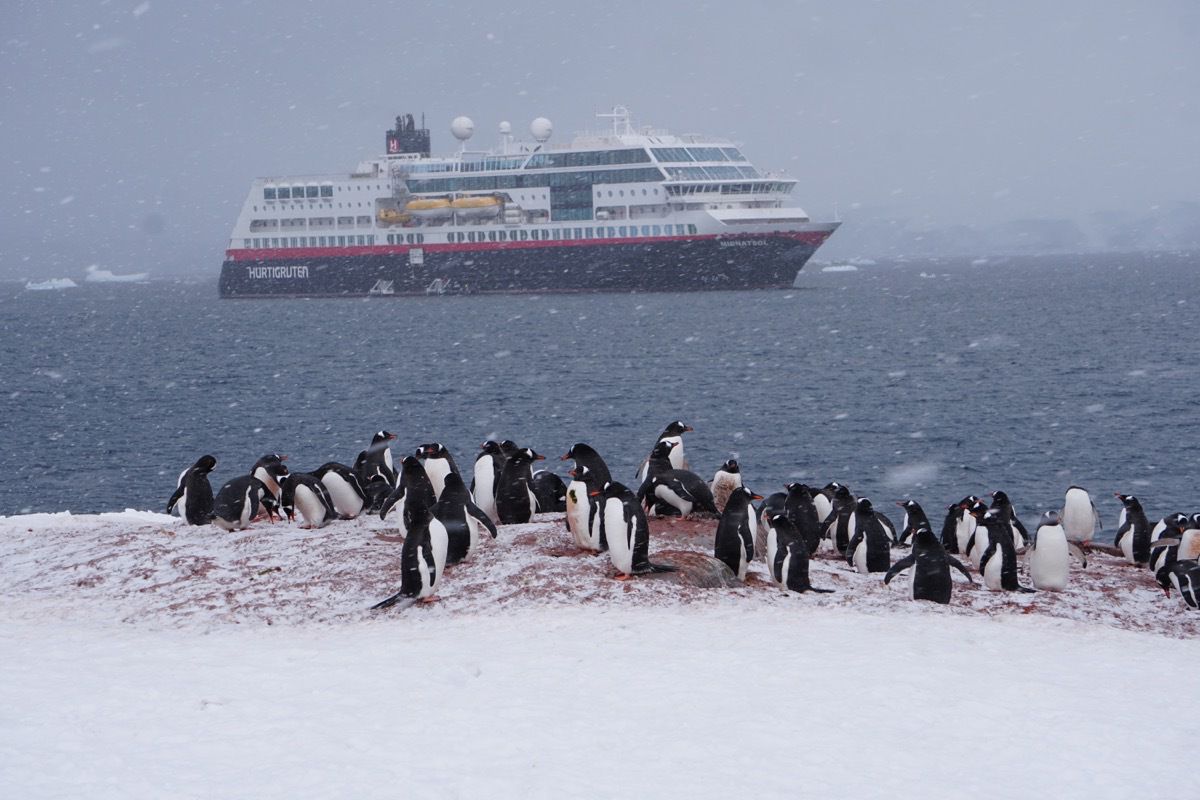
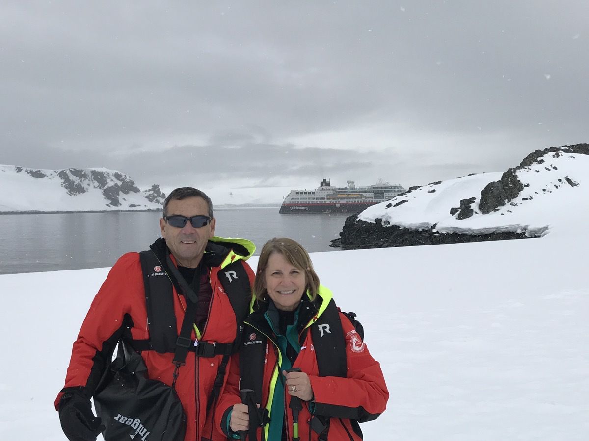
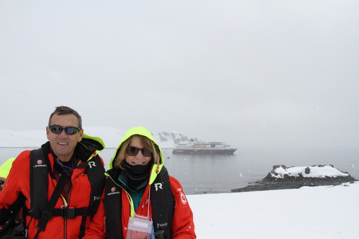
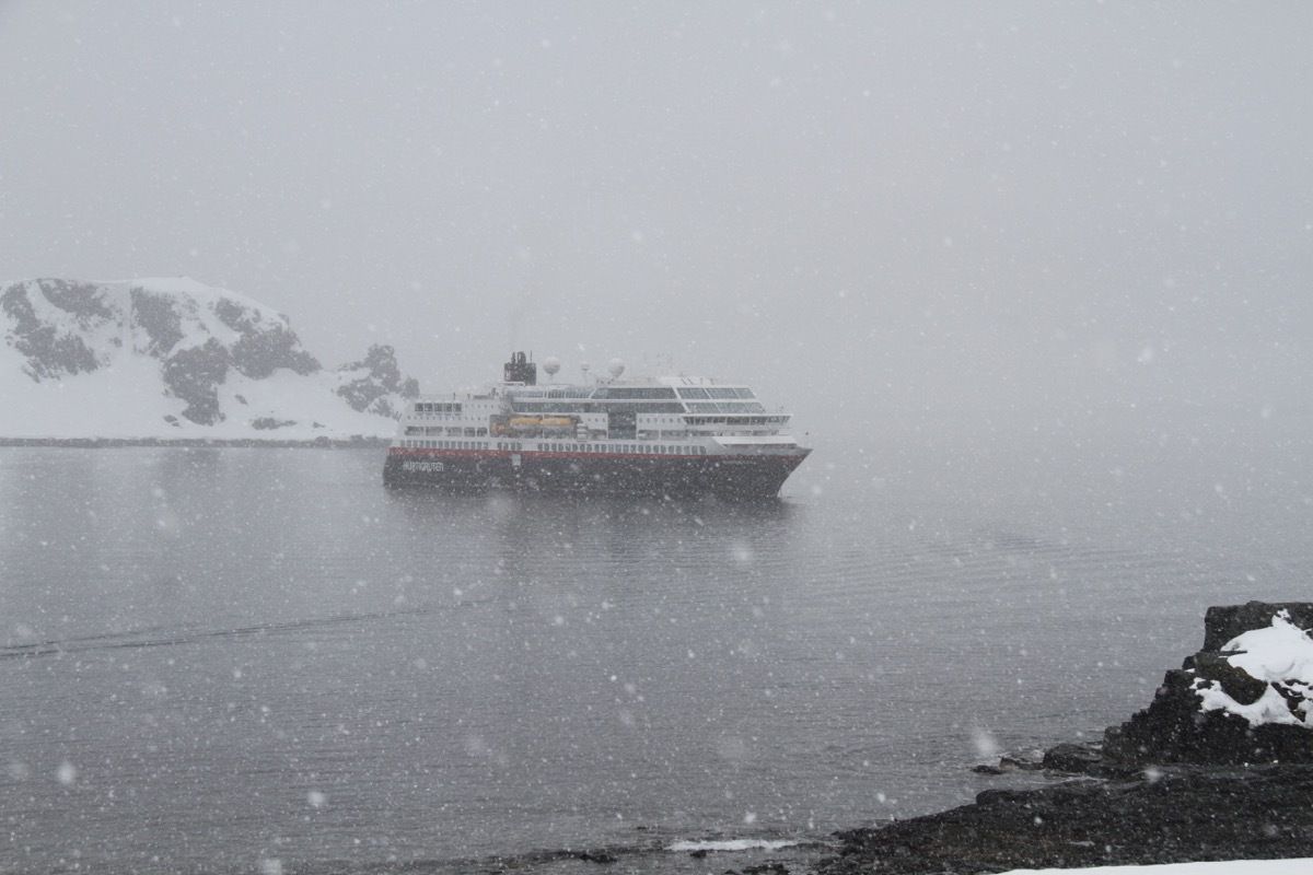
We are on the Hurtigruten’s expedition ship MS Midnatsol and today was our first landing at Half Moon Island, Antartica. IAATO (International Association of Antartica Tour Operators) have mandated that there shall be no more than 100 people on the landing site in Antartica at a time. Therefore, the ship devised a rotating schedule whereby groups go onshore by motorized Zodiacs. Our tour group of 35 is called the Chinstrap Penquins. Each Zodiac holds about 15 people and we are taken ashore and then they come back for the next group. We were on Half Moon Island about 1.5 hours before returning by Zodiac. We were the second group off today and then tomorrow we will be in a different order.
So, here we are leaving the ship in our Zodiac.
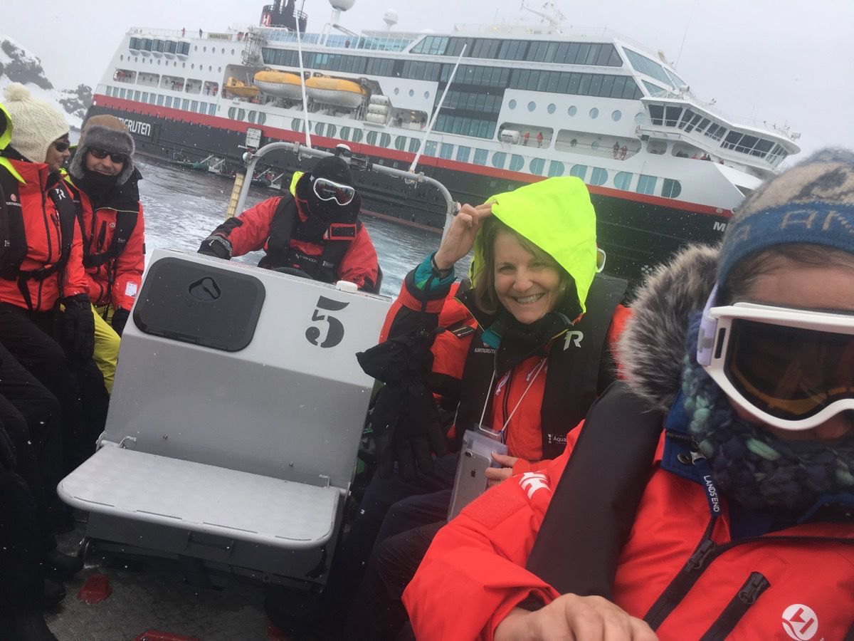
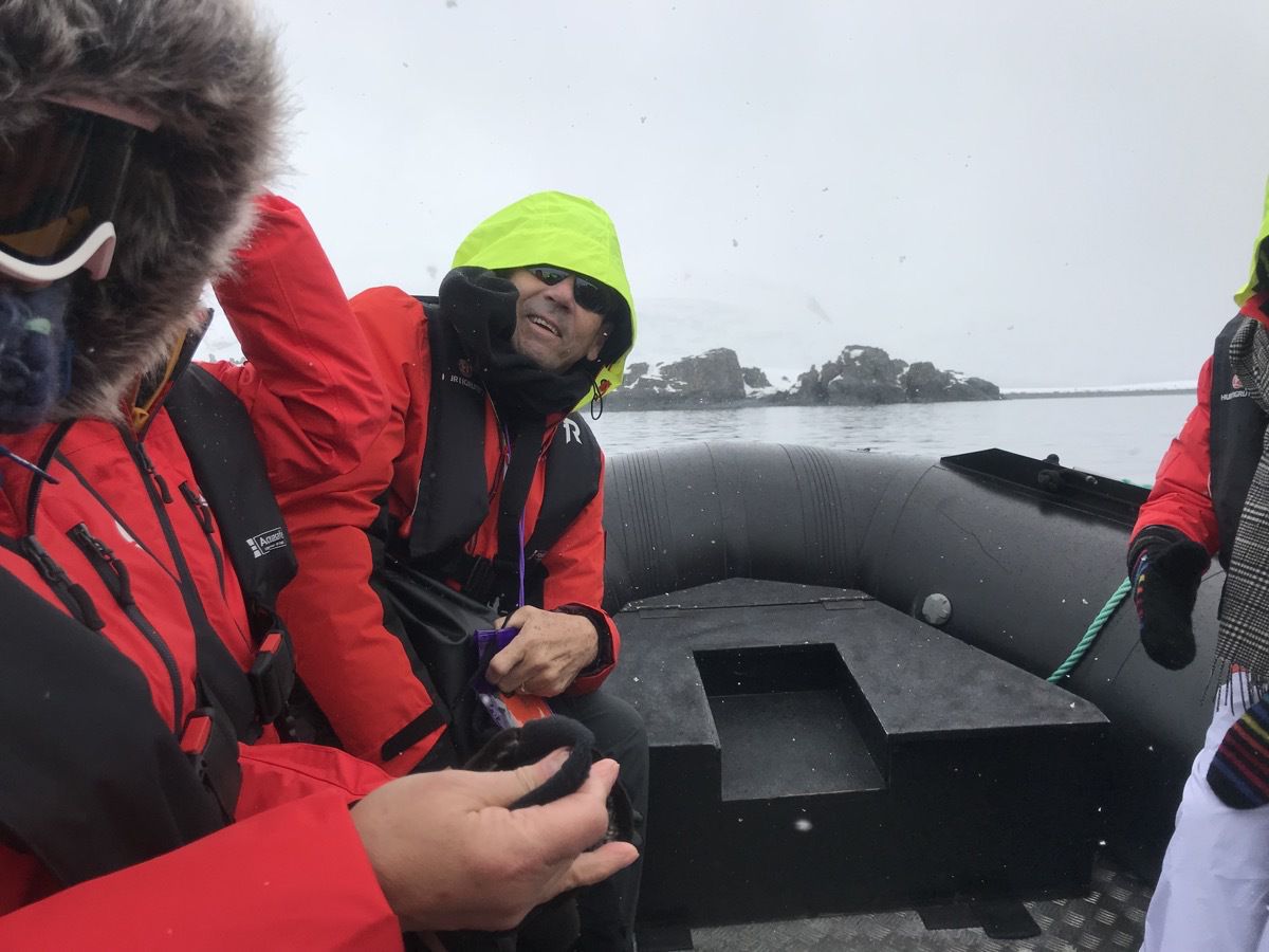
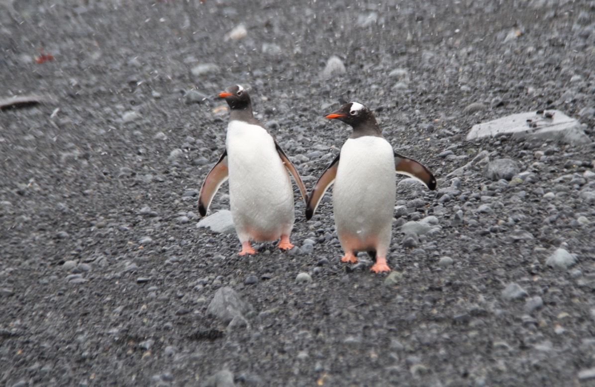
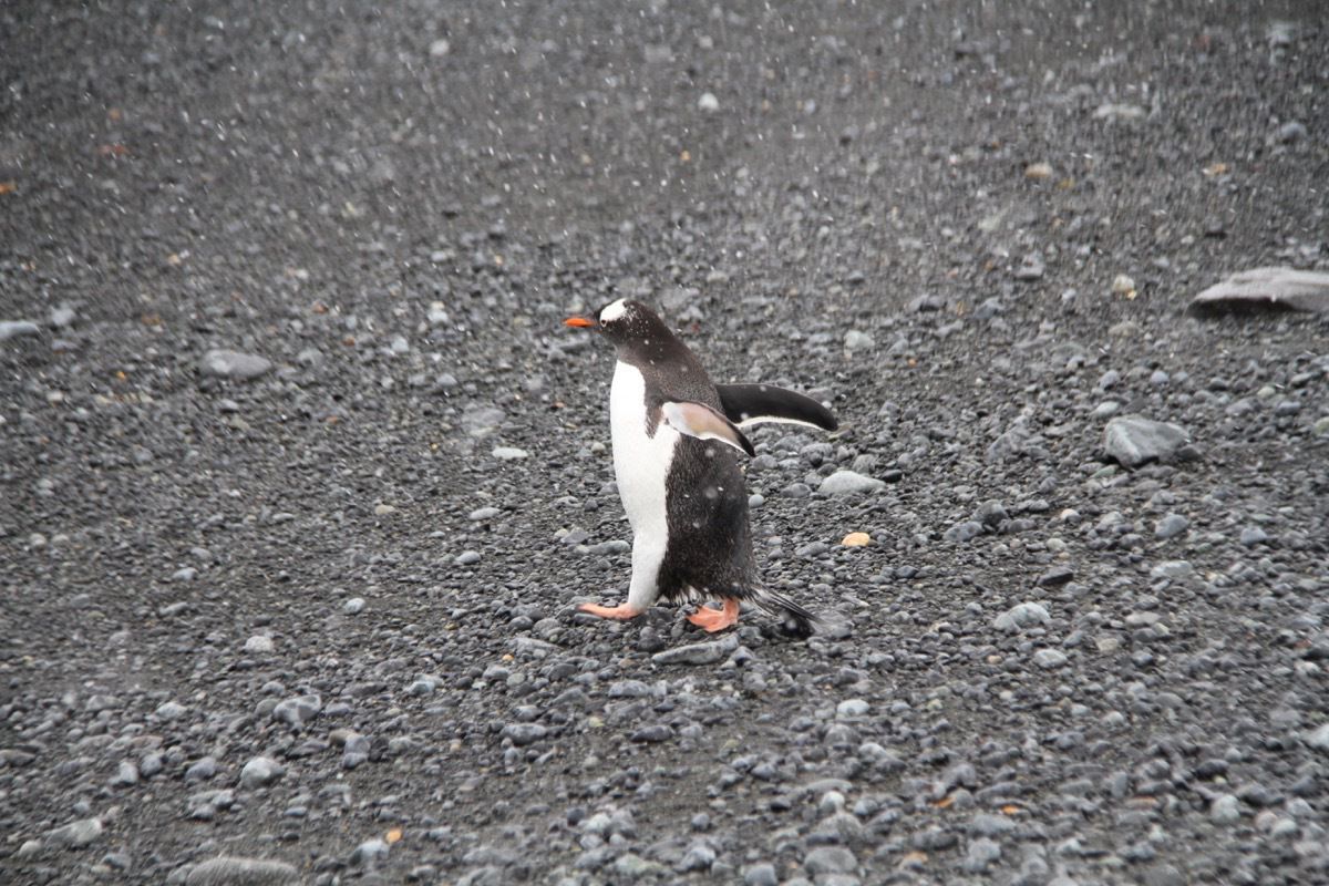
When we landed on Half Moon Island we were greeted by Gentoo penguins.
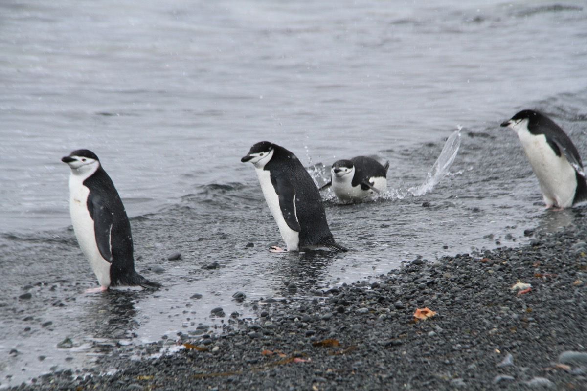
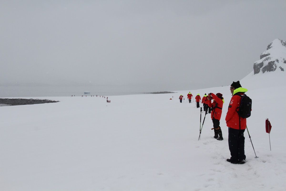
We were given walking sticks and instructed to stay within the flagged area of the island then we were on our way!
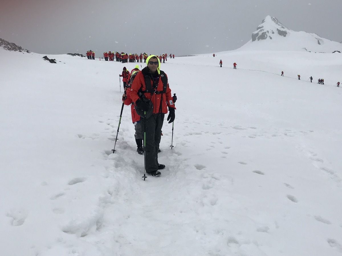
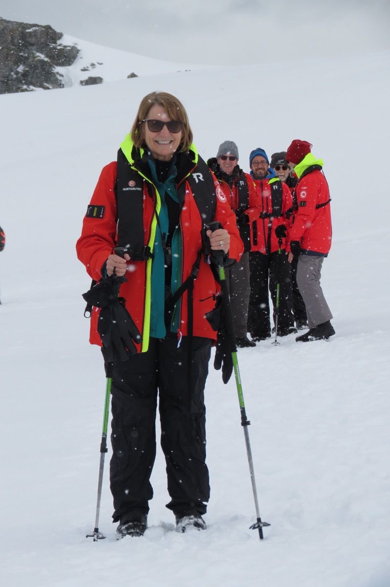
It was snowing!!!! Quite a treat for us southerners.
PENGUINS PENGUINS EVERYWHERE !!!!!
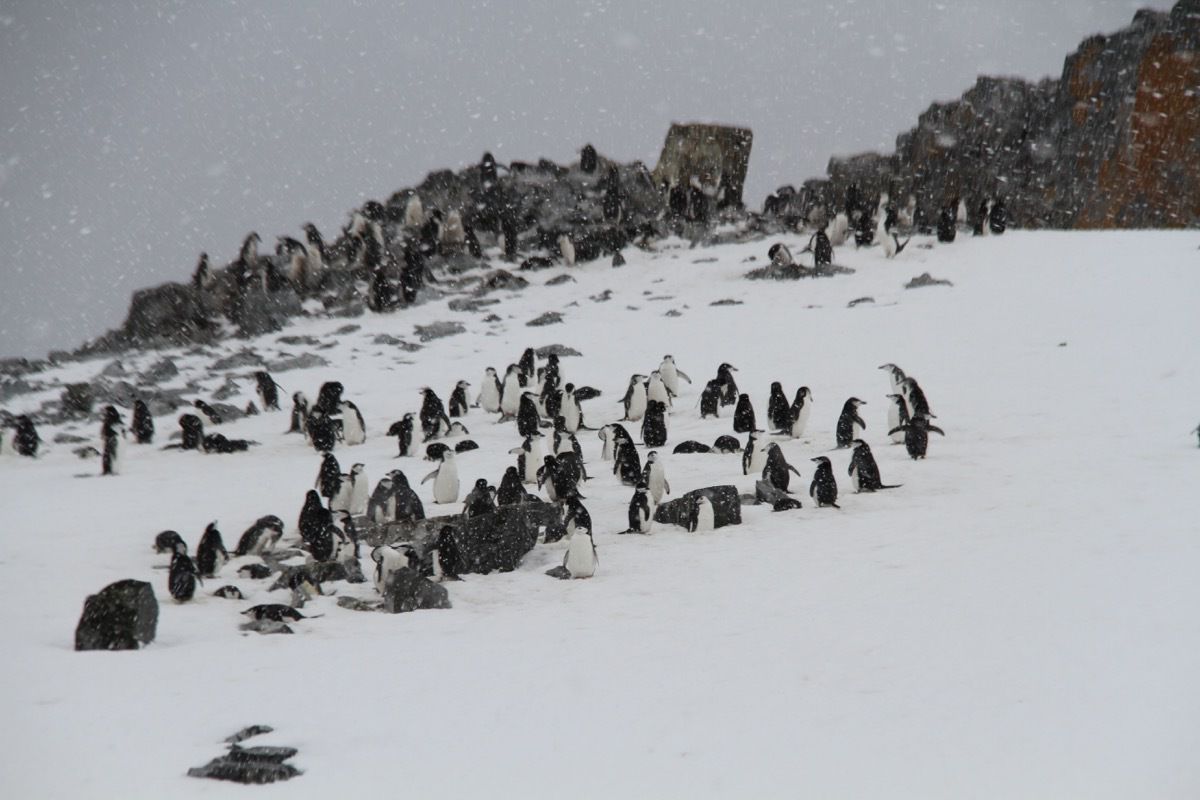
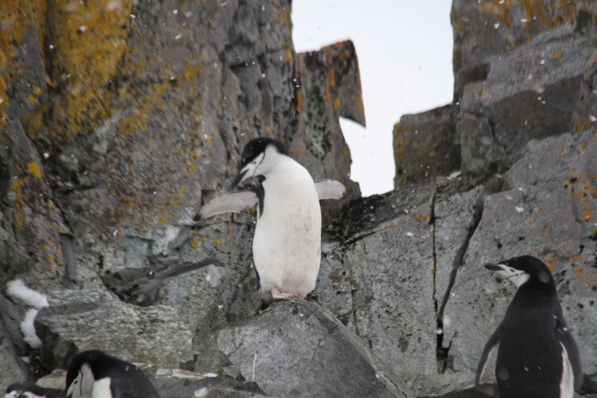
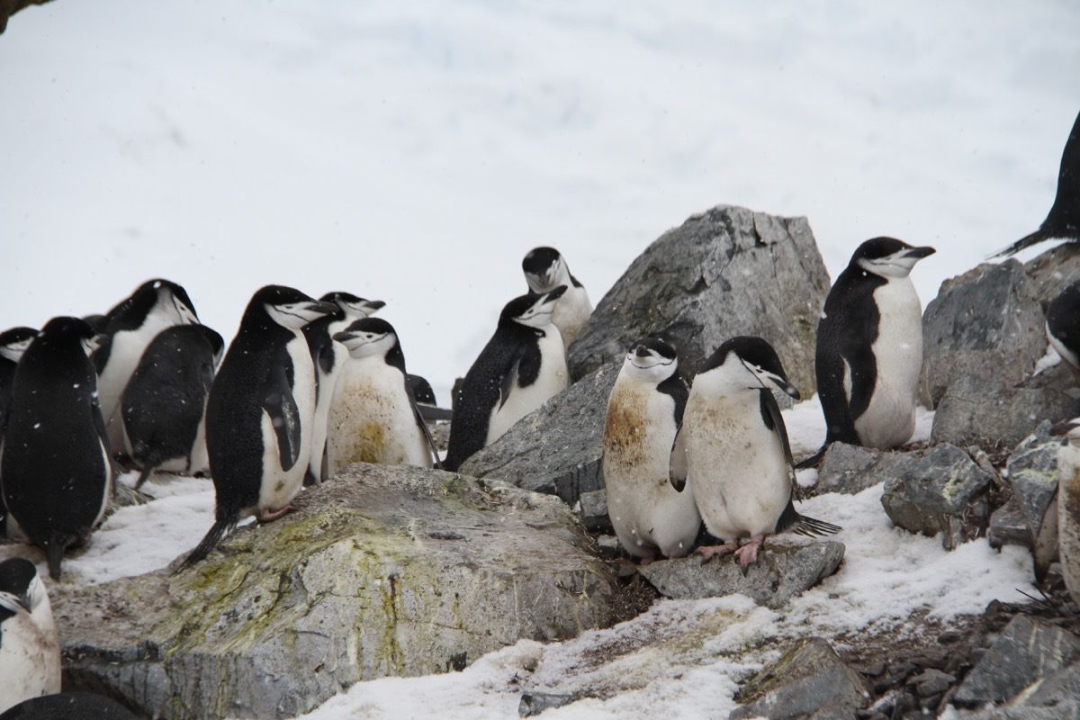
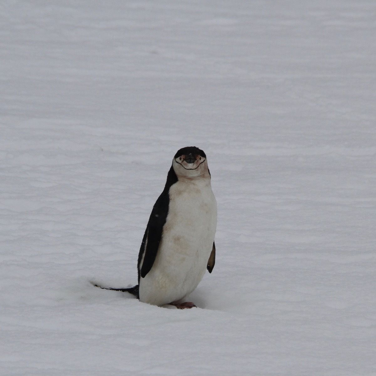
These penguins are the Chinstrap penguins.
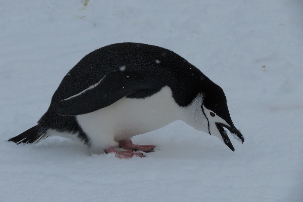
Notice the black line around the chin. Hence, the name Chinstrap penguin.
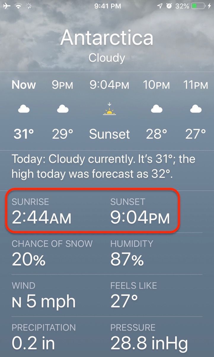
sunrise was 7:14 AM and sunset will be 12:11 AM
Some interesting facts that we learned today:
- Antartica is the fifth largest of the seven continents.
- It is considered a desert by the following definition : A region that has less than 10 in of annual rainfall or precipitation. In the interior of the continent the average annual precipitation is only about 2 In—less than the Sahara!
- It is the coldest and also the windiest continent. The lowest temperature ever recorded anywhere on earth -128.6 F took place on July 21, 1983 at the Russian Vostok Station at the “pole of inaccessibility."
- Cruise ships with 500 passengers or more are not allowed to put passengers on land in Antartica. Our ship has 412 passengers. There are other areas of the continent when only boats with less than 200 passengers can go. Also, no one is allowed to go within 15 feet of a penguin.
Day one was an absolutely fantastic experience !!!
-
Crossing the Drake Passage to Antartica
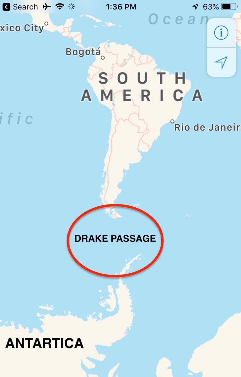
The Drake Passage is the body of water between the southern tip of South America, Cape Horn, and Antarctica and has some of the worst sea weather in the world. It is 400 miles wide and is the shortest crossing from Antartica to the rest of the world’s land.
Since none of the other continents extend south more than 40 degrees, and Cape Horn is 56 degrees south, cyclonic lows can literally chase each other around the world unhindered by landmasses. Cyclonic lows of near-hurricane strength travel through the passage roughly every three weeks. Top that with waves racing from two and sometimes three different directions as a result of the Pacific and Atlantic Oceans converging, and you have the makings for some very rough water.
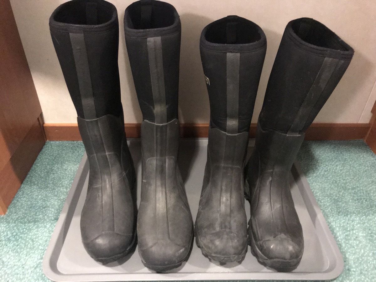
We were issued our jackets and boots that we will wear each time we go ashore in Antartica. We also had to have our waterproof pants, gloves, hat, backpacks specially vacuumed for biosecurity.. Tom and walked around the deck a few times dressed in all our warm clothes to see if we could tolerate the cold.
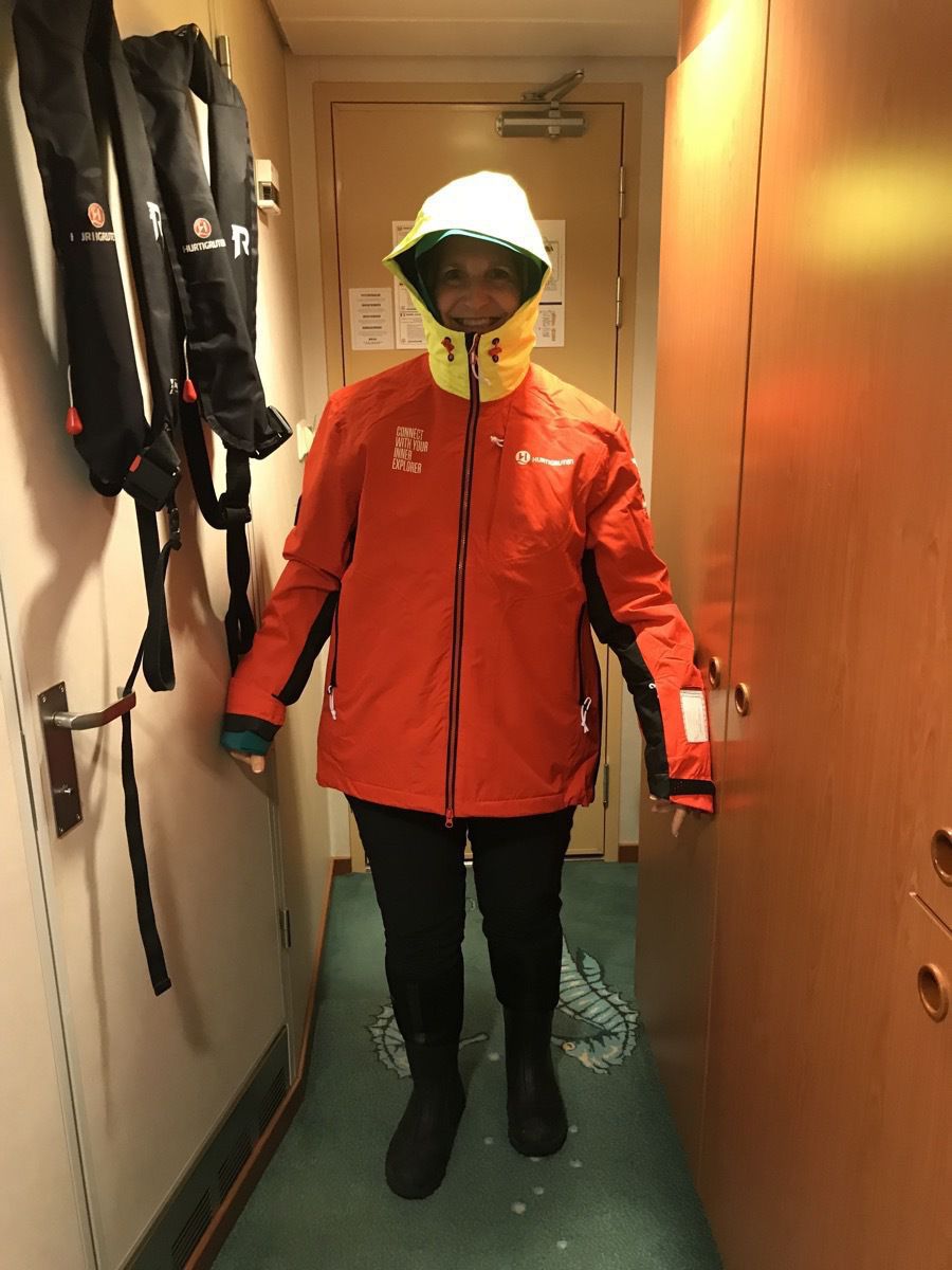
The day started out with the ship just rolling a little, but by dinner I was SO seasick that I could not eat. (missing a meal is definitely not normal for me). This morning I feel much better and the sea is calm now that we are near the land in Antartica.
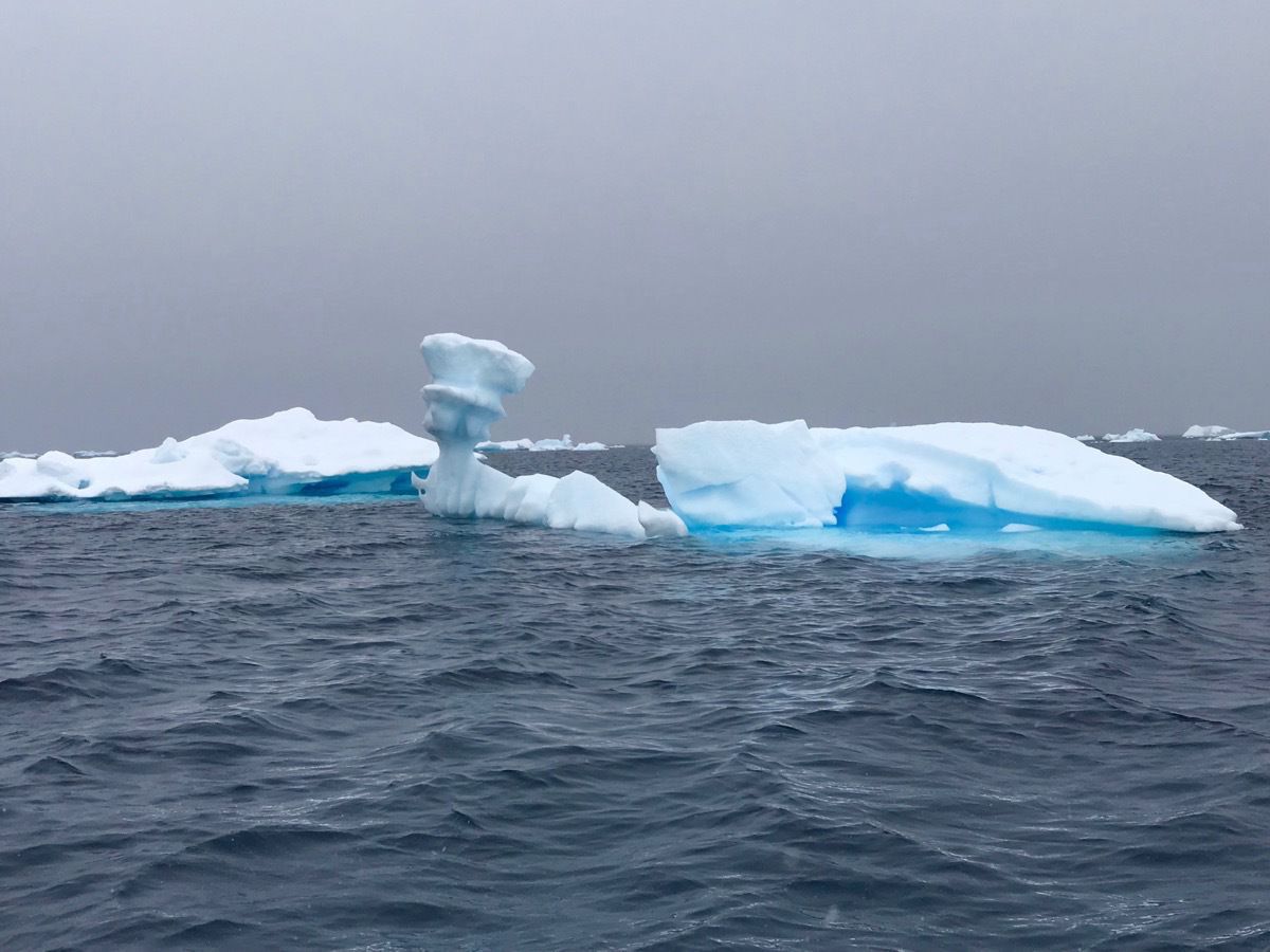
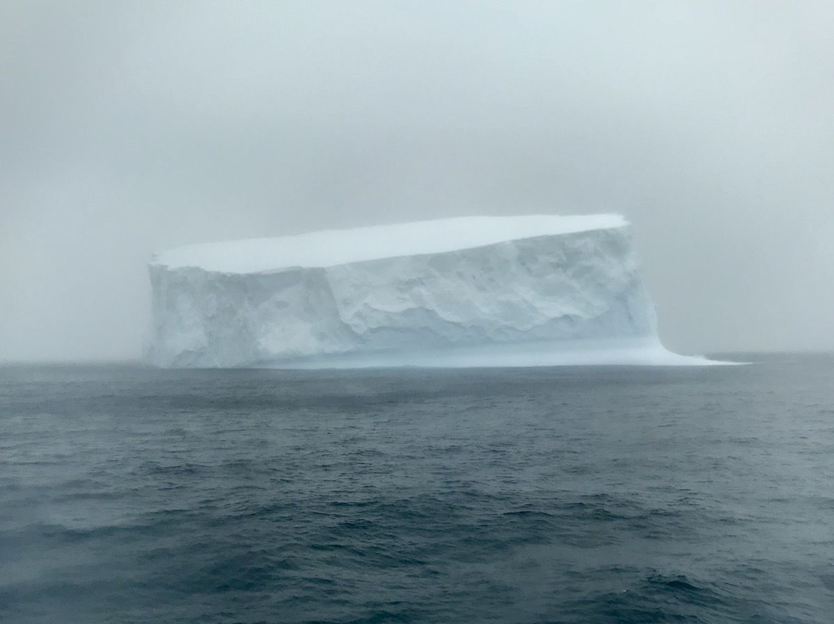
This morning we saw our first iceberg and it’s -1 degrees!
-
Ushuaia, Argentina
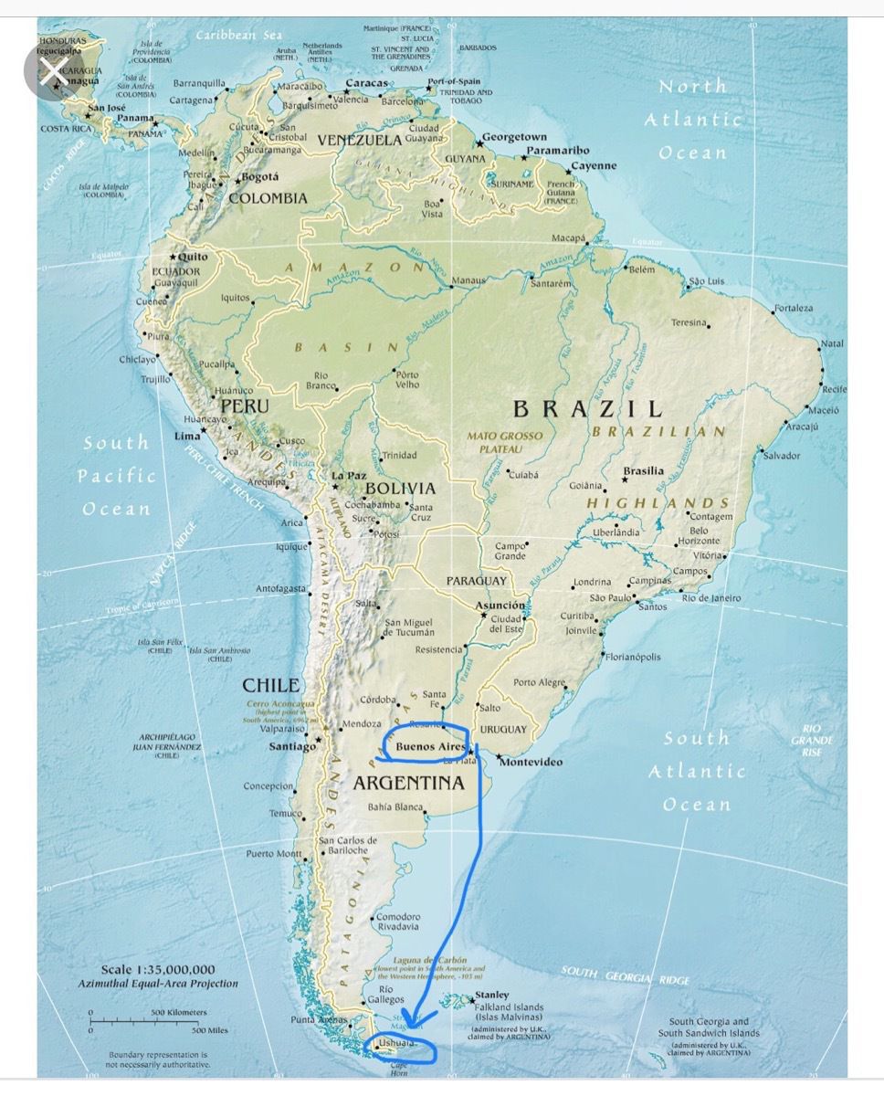
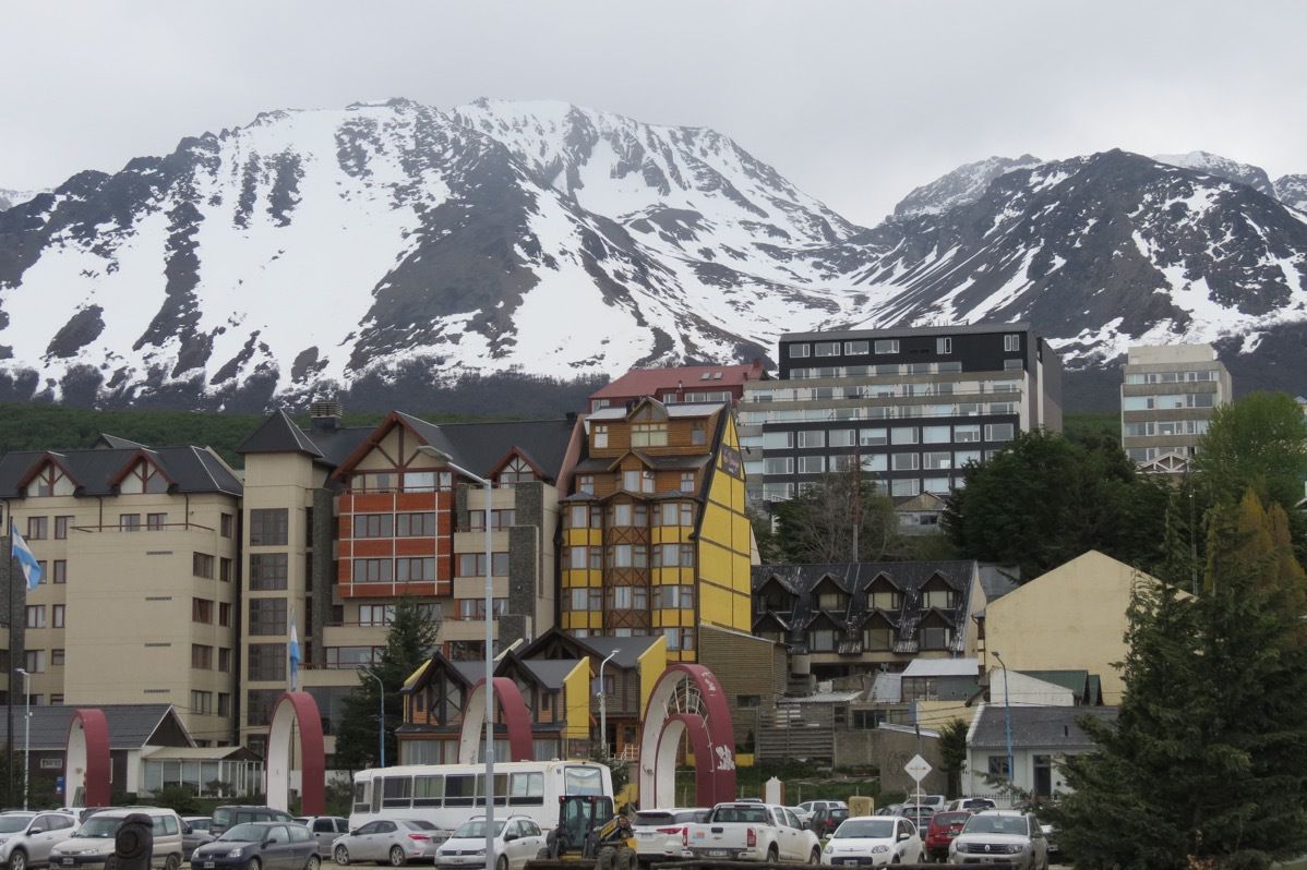
Our wakeup call this morning was for 4:00AM in order to identify our luggage, eat breakfast and get on the bus fat 5:00am for our flight from Buenos Aires to Ushuaia. Ushuaia is at the tip of South America and is referred to as the City at the End of the World. Our chartered flight took 3.5 hours and was a smooth ride the entire way.
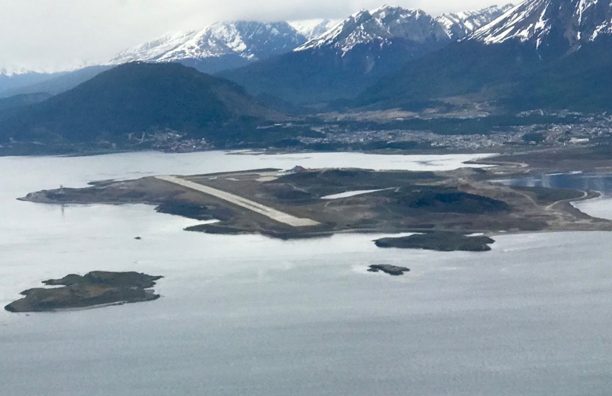
I was surprised when I looked out the window of the airplane to see that the Ushuaia airport runway. Both ends of the runway are beside the water—but the landing was a smooth one.
We have arrived! I was shocked to learn that Ushuaia has a population of 90,000 and is a very safe place to live. Especially in light of the fact that originally prisoners were sent here like in Australia.
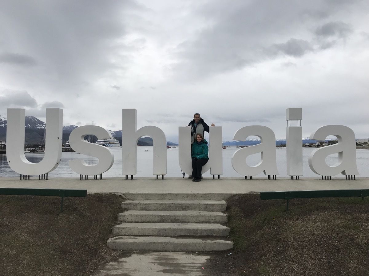
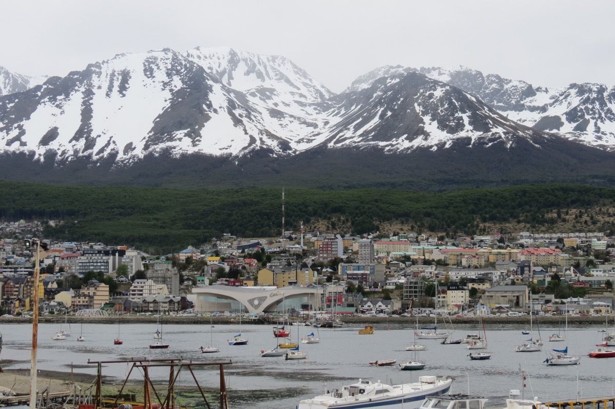
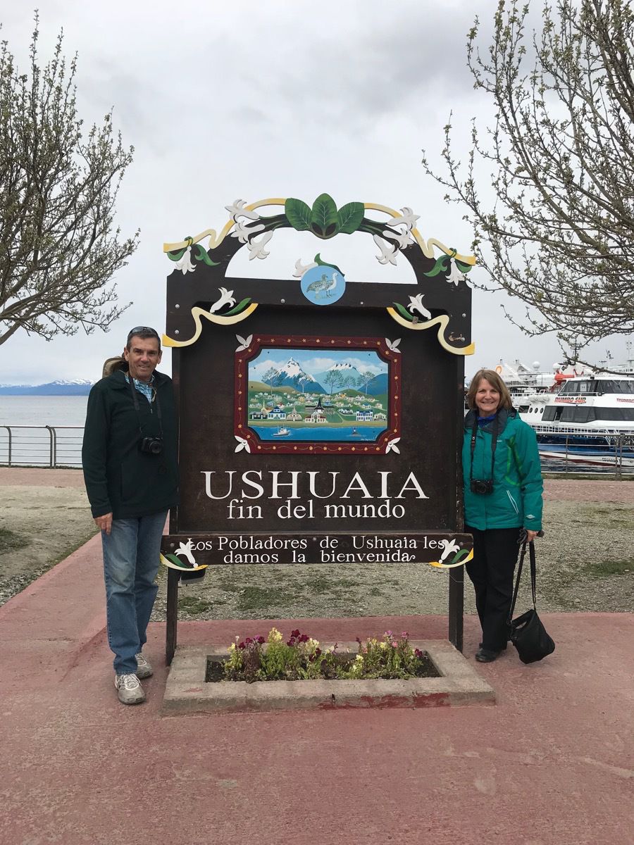
This sign reads “Ushuaia end of the world. The inhabitants of Ushuaia welcome you."
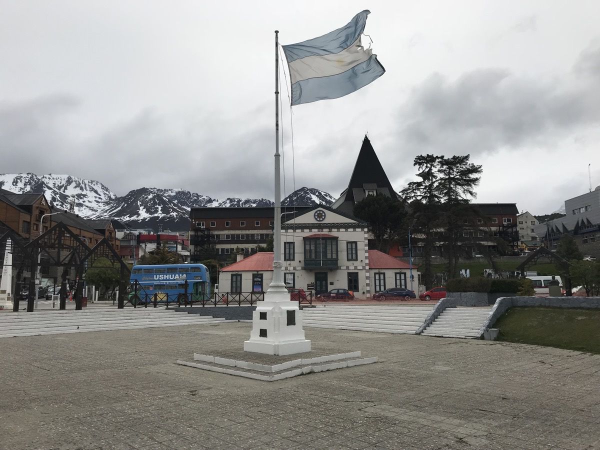
We had free time to walk around the city for about 2.5 hours and grab some lunch and look through some stores. At 3:00 we boarded our expedition ship MiS Midnatsol.
Our safety drill was not the usual run of the mill ship safety drill. In the event of an emergency we will be issued dry suits in addition to our lifejackets. BRRRHHHH!
-
Buenos Aires, Argentina
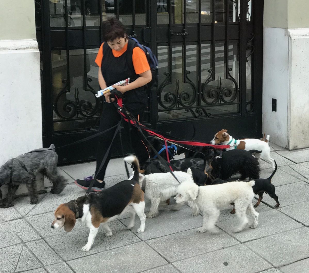
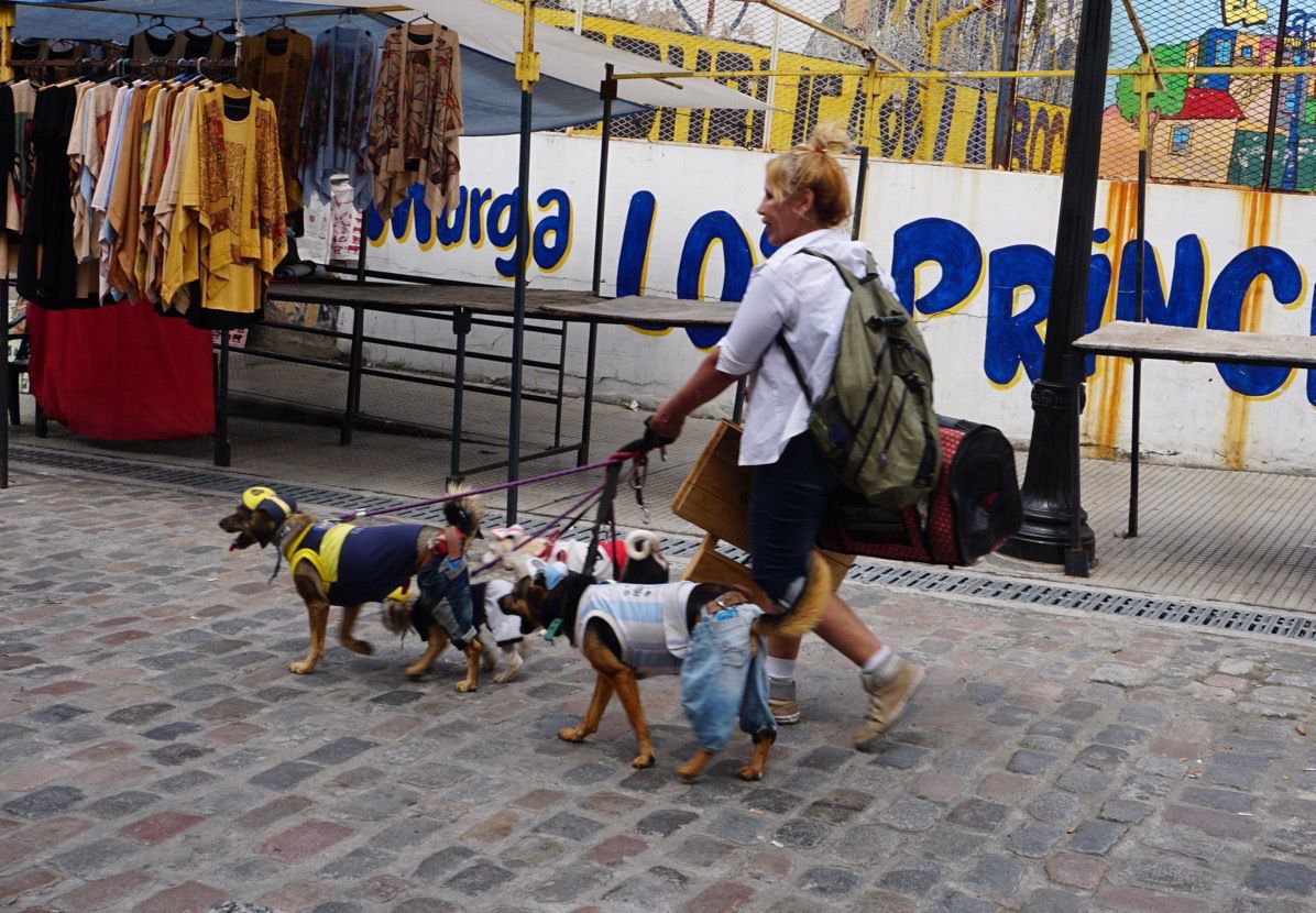
We started the day with a bus tour of the city and the first thing we saw was a dog walker with nine dogs who walked very calmly with each other. Our tour guide told us the average worker’s salary is $400 a month and a dog walker can easily add another $400 a month to her income. Residents don’t pay income tax until they earn $800 a month and this additional dog walking income is pay in cash and not reported.
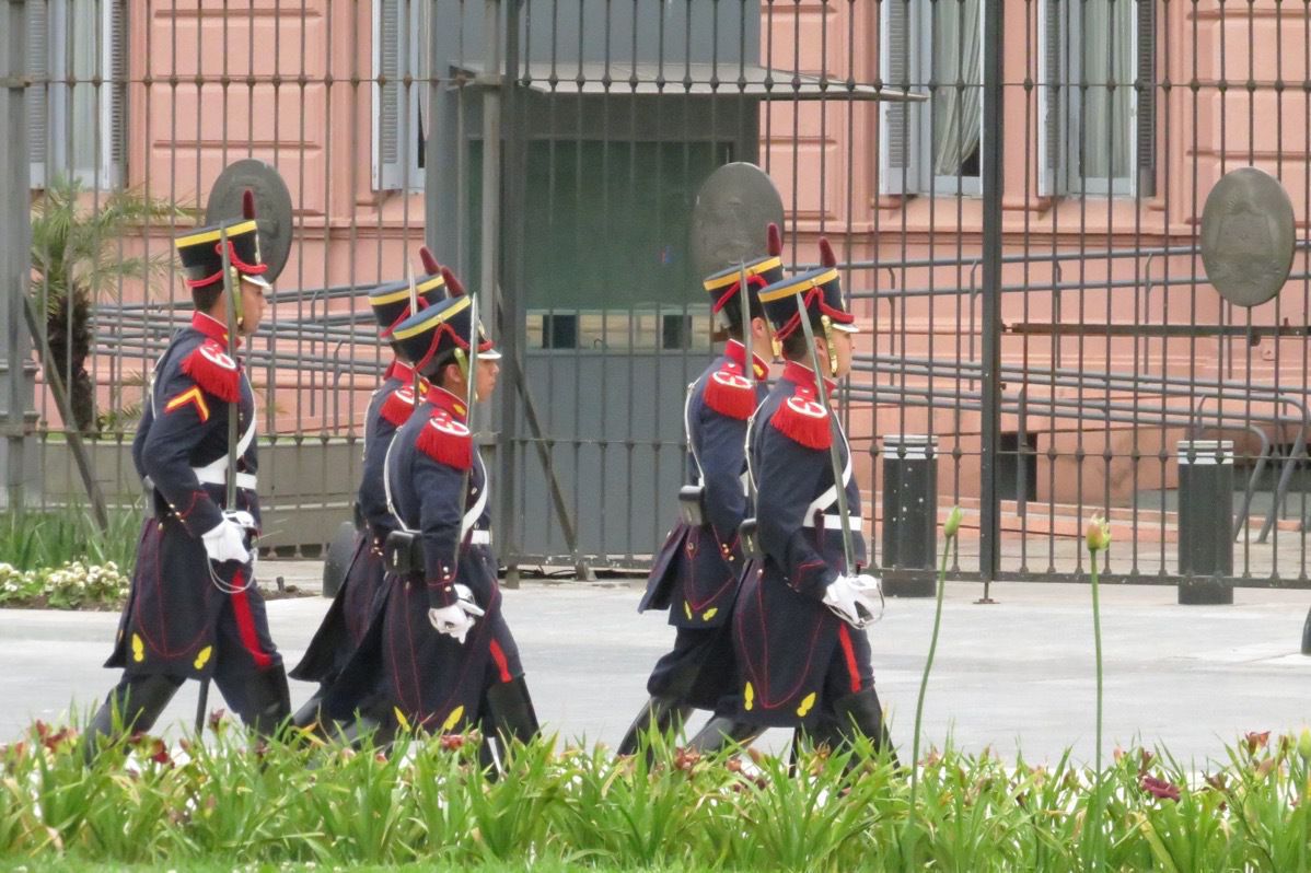
Our first stop was at La Casa de Rosado-Palacio de Gobierno where the Peron’s ruled and where Eva Peron gave her famous speech, memorialize by AndrewLloyd Webber’s “Don’t Cry for me Argentine” song from the musical Evita. She made her speech from the upper balcony with the three domed shaped windows
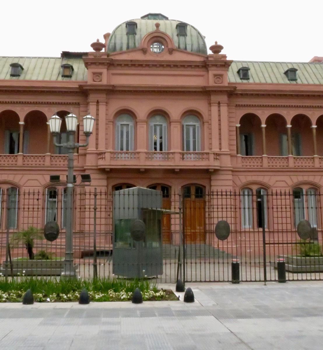
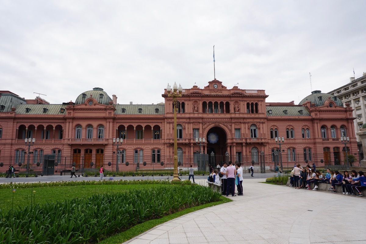 We also watched the changing of the guards.
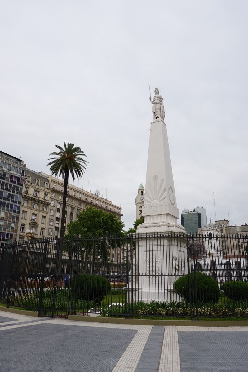
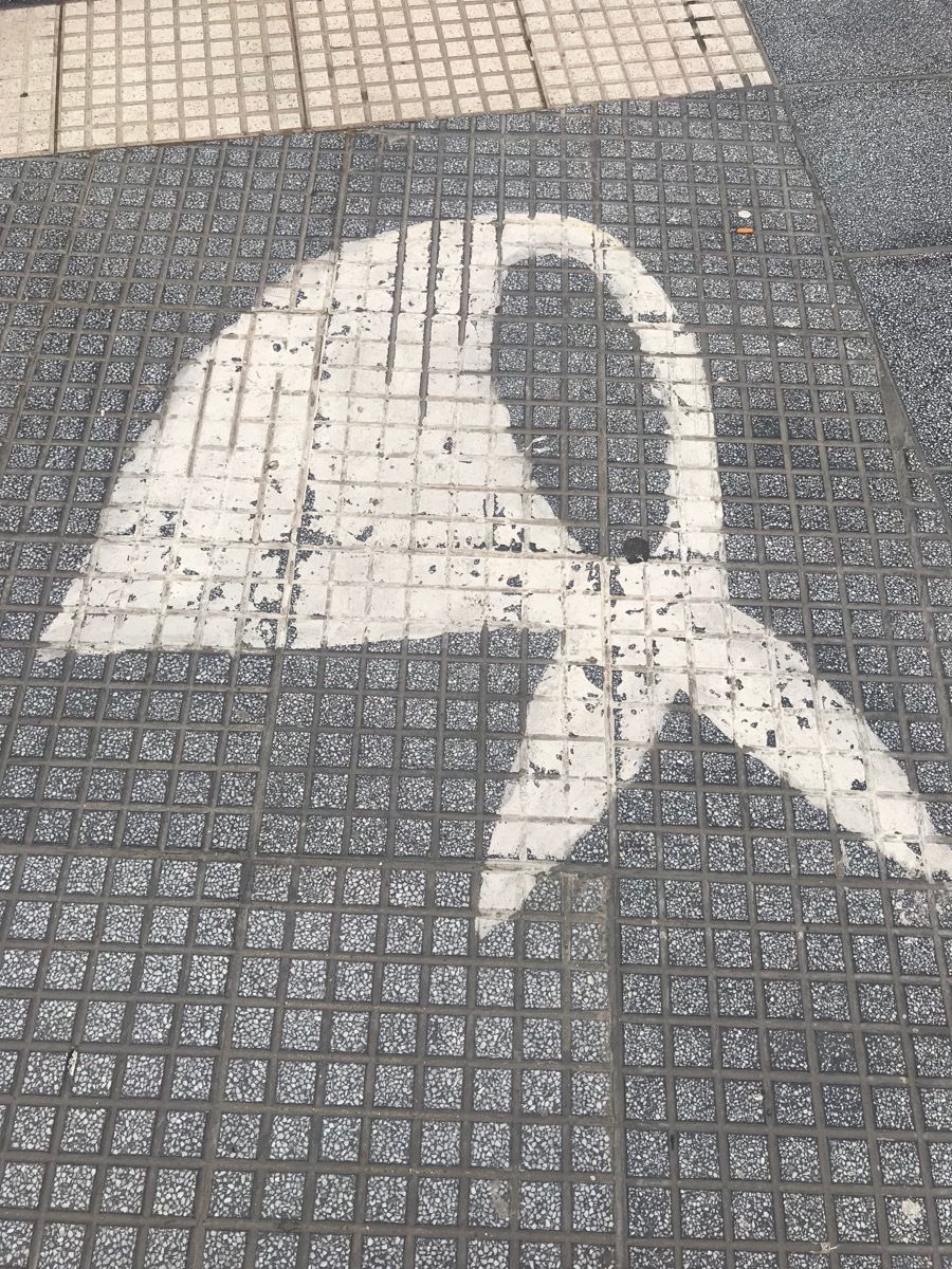
On Thursday afternoon at 3:30 women march around this monument for 30 minutes in remembrance of the 30,000 missing people and 500 babies that were taken during the Revolution in 1978. The "dirty war" was a campaign waged by Argentina's military rulers against left-wing opponents. It began when a military junta led by Gen Jorge Videla seized power on 24 March 1976, in response to a period of political instability and growing violence after the death of President Juan Peron. The pretext of this gruesome war was to overthrow the left-wing political parties. However, the Argentinean military simply used it as an excuse to oppress, torture and murder countless civilians. By using DNA samples from the grandmothers, 127 of these babies have been found so far. (They would be around 40 years old now). The white scarfs painted on the street represent the women killed and white scarfs are worn by the mothers as they march each Thursday..
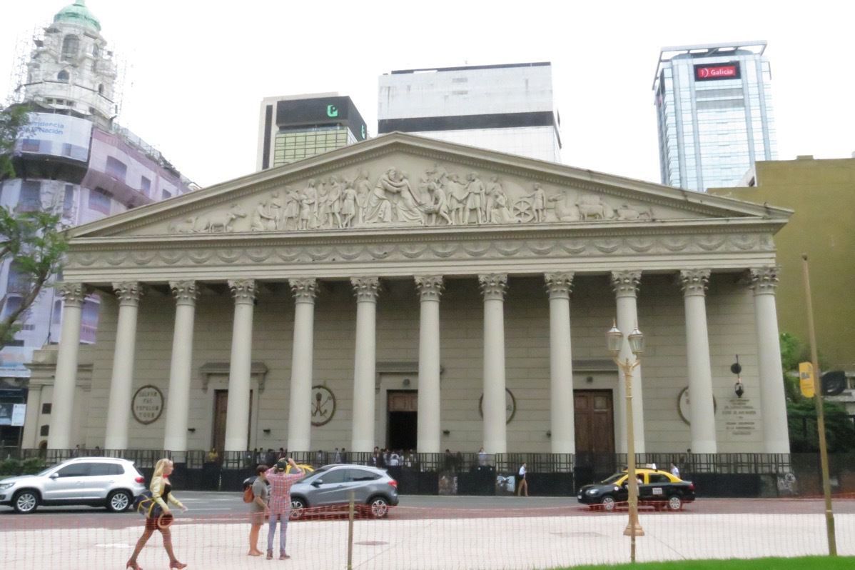
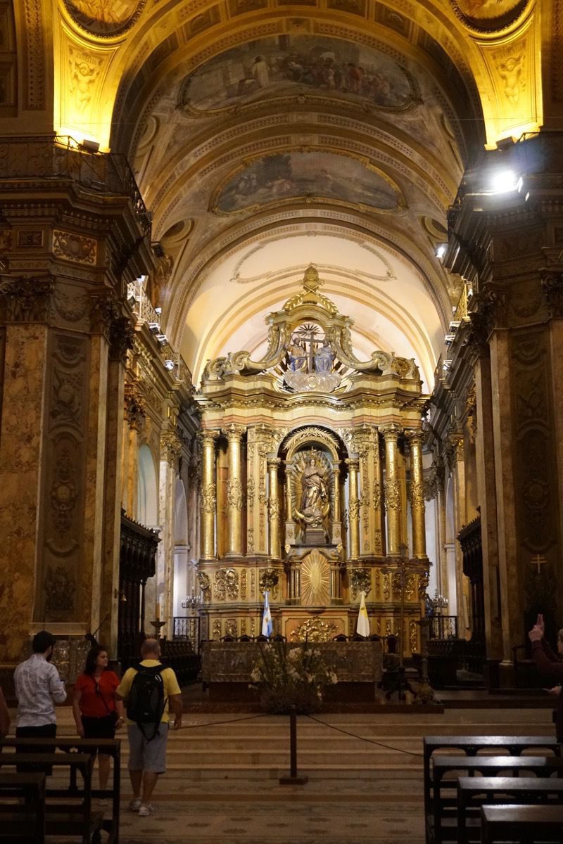
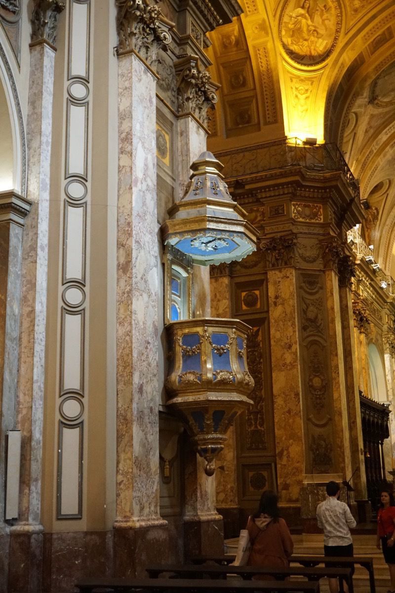
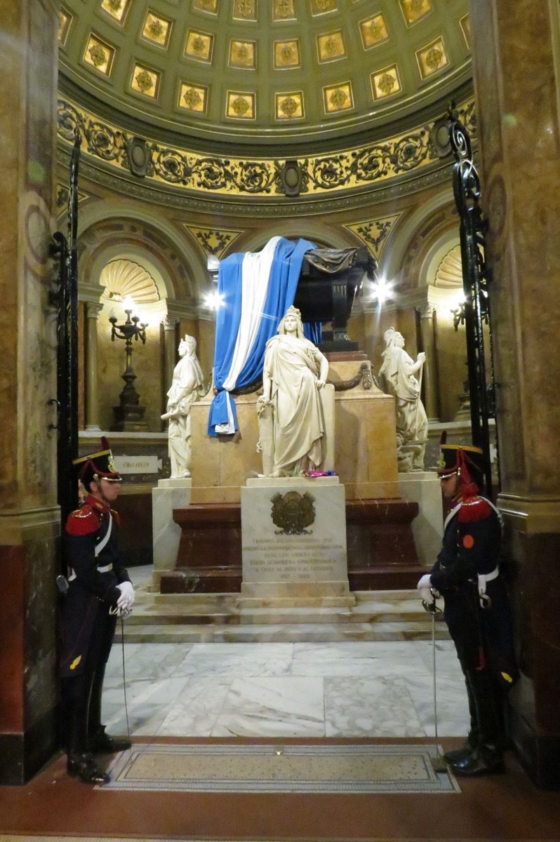
Buenos Aires Metropolitan Cathedral
This is the church where Pope Frances led mass when he was Archbishop Jorge bergoglia before ascending to Pope in 2013.
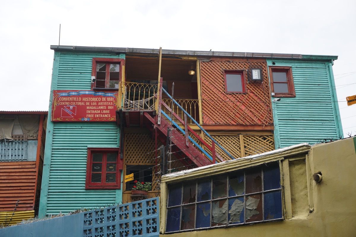
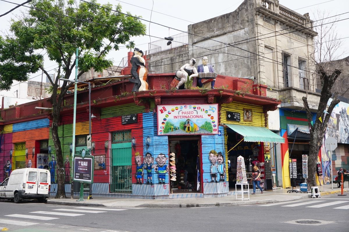
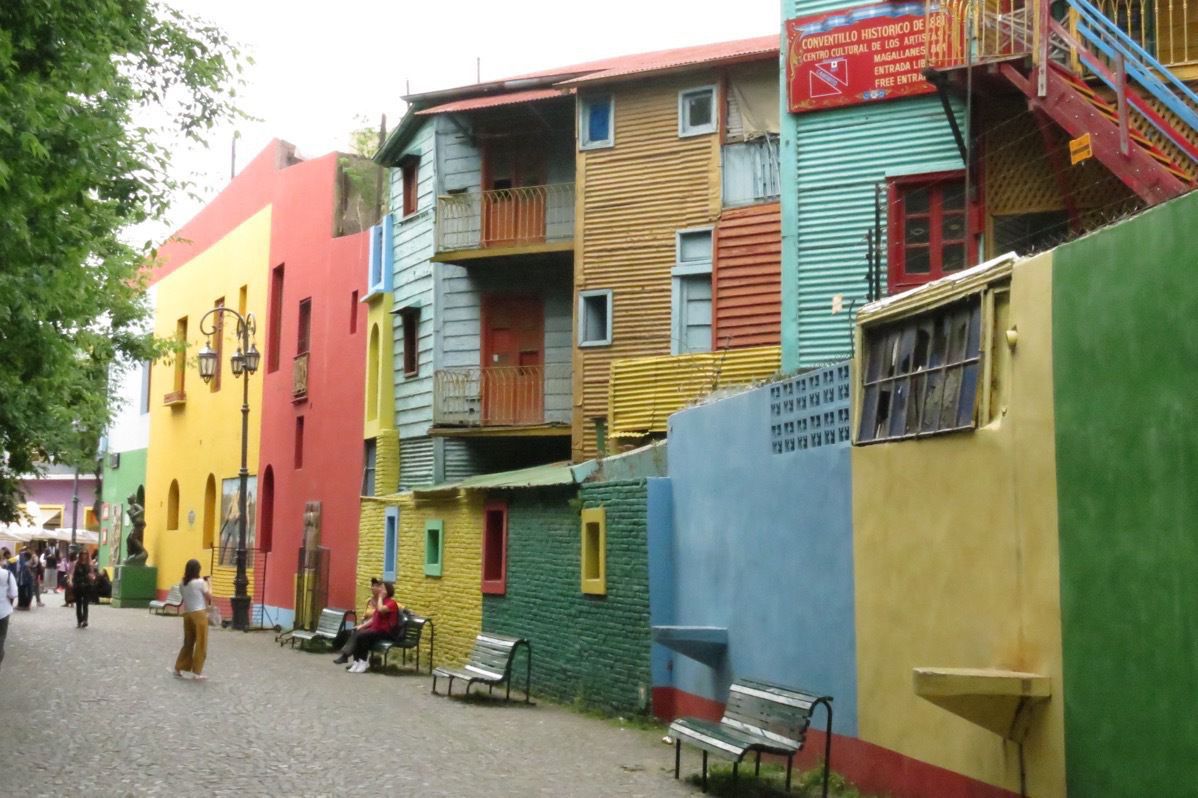
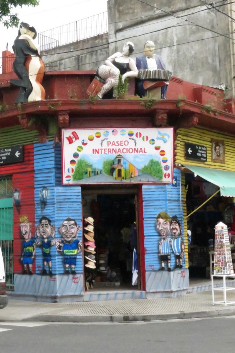
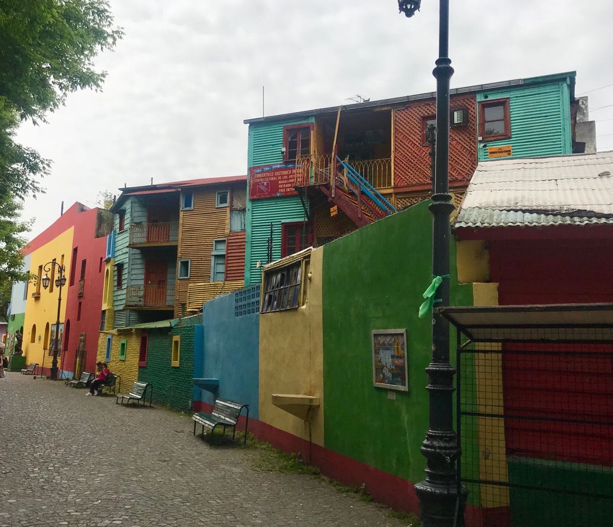
La Boca neighborhood
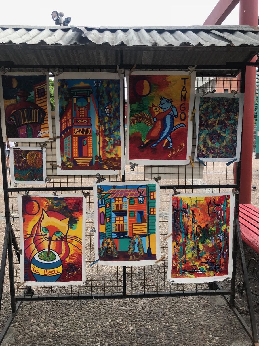
Colorful buildings with artists and salsa dancing which is great to visit in the afternoon. They close at 5:00 because the neighborhood isn’t safe in the evening.
artwork for sale along the street
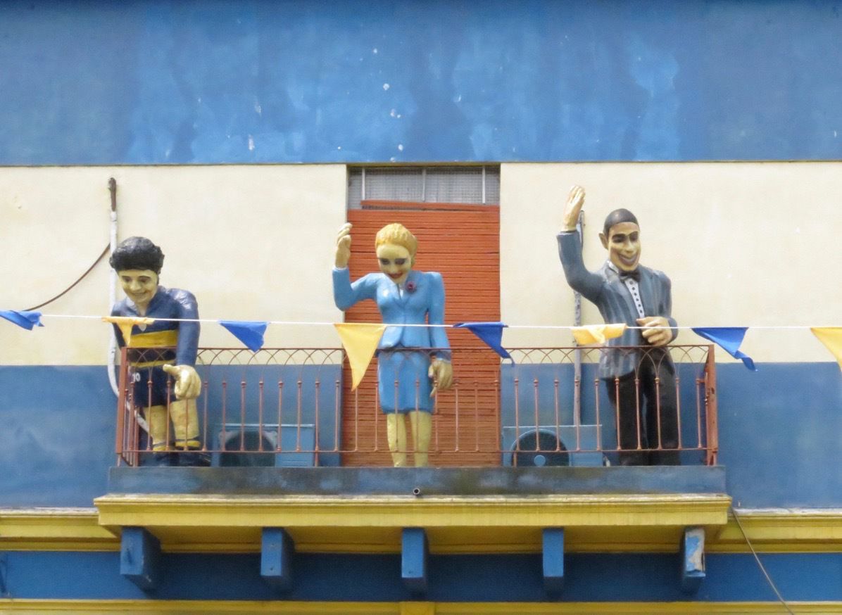
These three looking down from a balcony are referred to as the holy trinity: famous soccer player Diego Maradona, Eva Peron, and Carlos Gardel, famous salsa dancer.
These dogs are walking in style
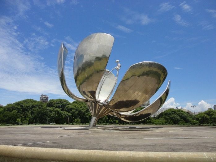
Floralis Generica
The Floralis Generica, a Buenos Aires landmark, is a 65’ stainless steel flower that opens and closes its petals with the sun. It was designed by Eduardo Catalano in 2002 and symbolizes hope reborn every day. The flower remains open all night four times during the year: May 25 (May Revolution), Sept 21 (start of spring), Christmas Eve and New Year’s Eve.
Recoleta Cemetery
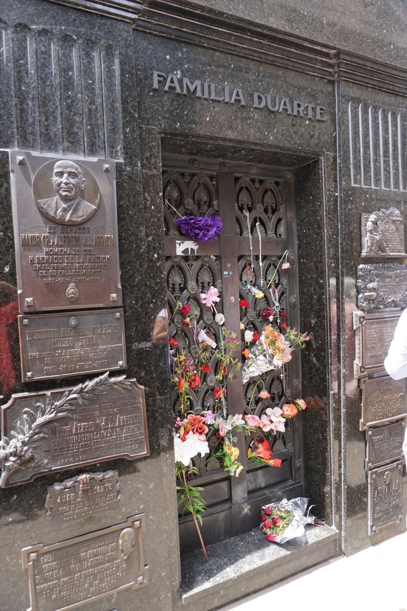
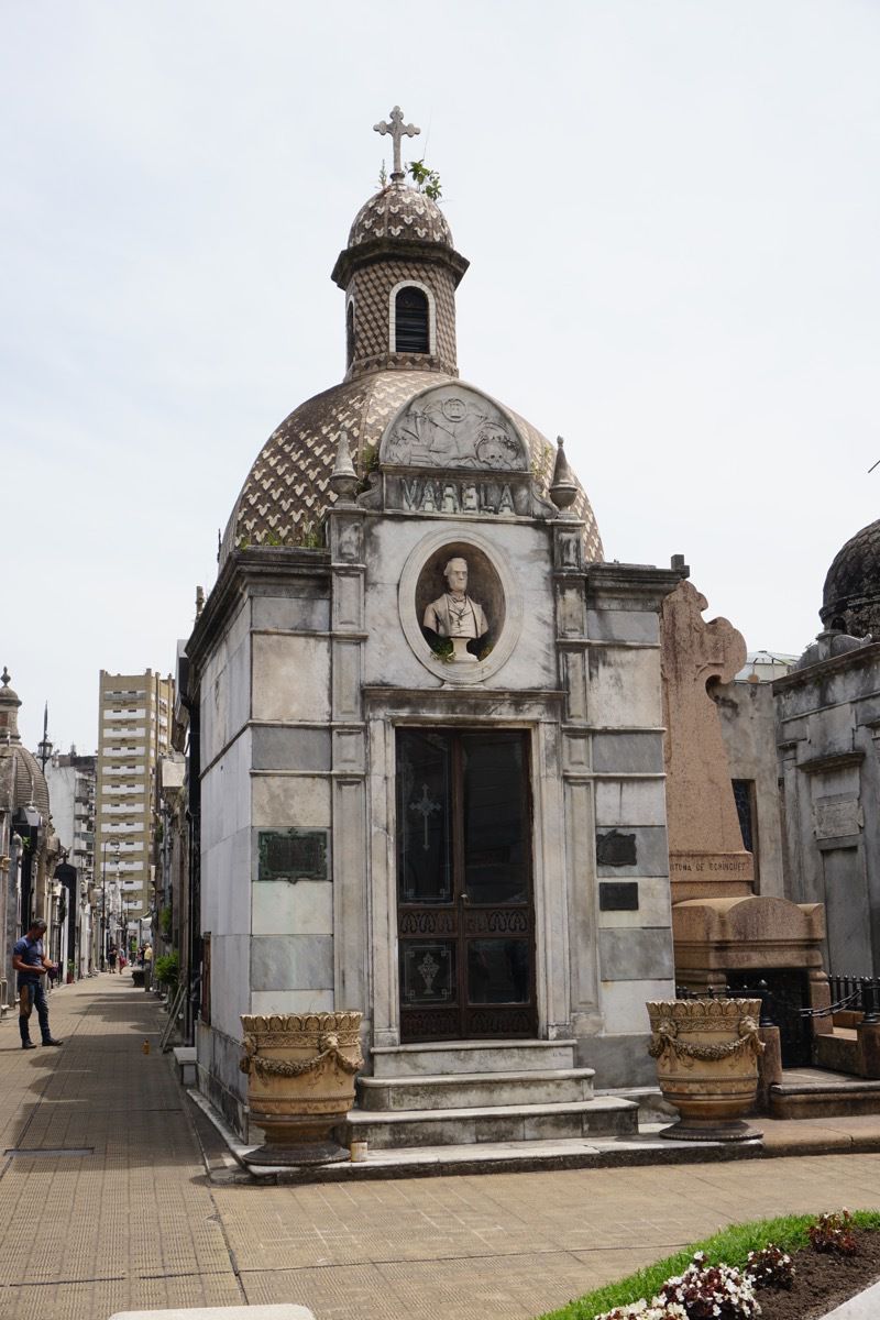
For those of us who thought cementarys in New Orleans were unique and extravagant, the Recoleta Cemetery is filled with over 6,400 graves. It’s the final resting place of Eva “Evita” Peron, the iconic first lady who was beloved by the public until her death in 1952. Her final resting place is actually over 16 feet underground in a heavily fortified crypt so no-one can disturb her remains. Interestingly enough, her name is not even on this grave. The public still bring fresh flowers here every single day.
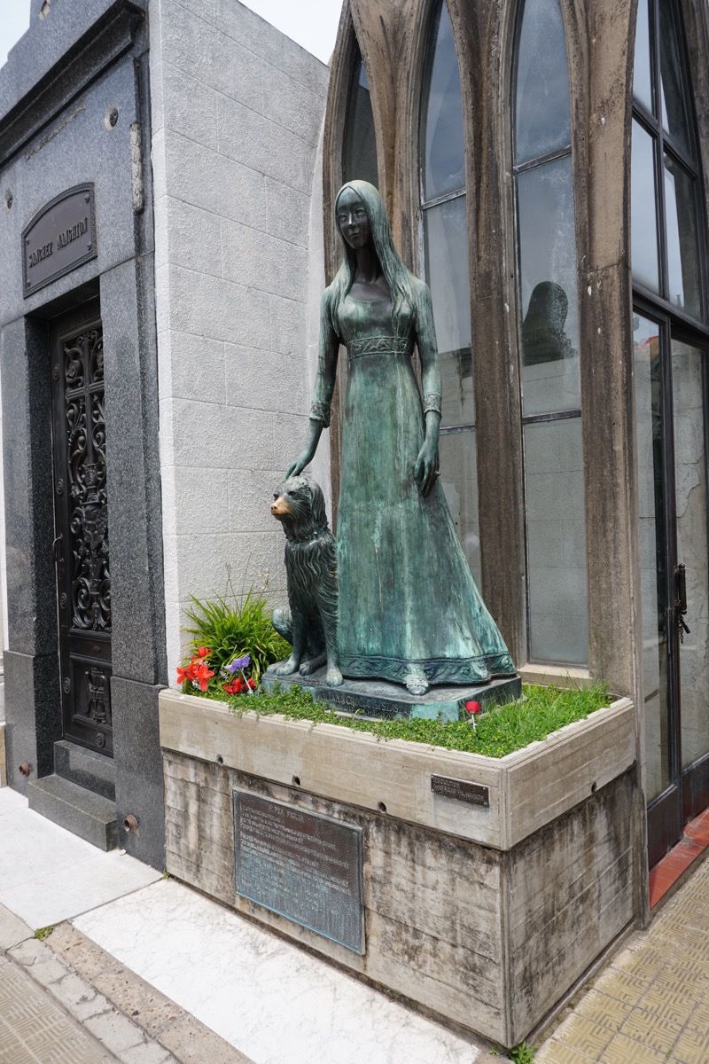
One Liliana Crociati de Szaszak’s Crypt has an especially interesting story: She was killed by an avalanche while honeymooning in the Alps. Her parents, Italian Immigrants to Argentina were grief stricken and modeled her grave after their daughter’s childhood room. There is a statue of Liliana and her dog, Sabu who supposedly died at the exact same time continents away.
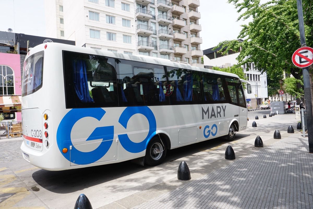
I thought this bus was appropriately named for me.
-
Iguazu Falls -- from the Argentina side
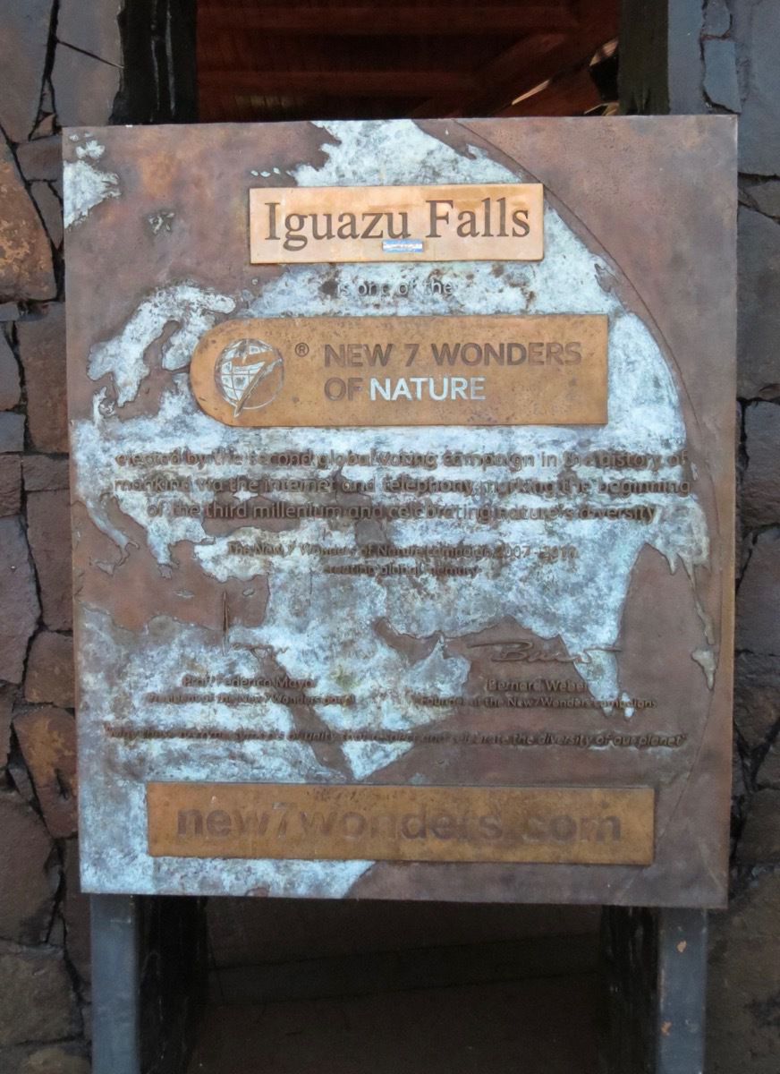
Today we crossed the border into Argentina on our tour bus and rode to Iguazu Falls to tour it from that country. The Falls are the New 7 Wonders of Nature. The plaque says “ Elected by the second global voting campaign in the history of mankind via the internet and telephony marking the beginning of the third millennium and celebrated nature’s diversity."
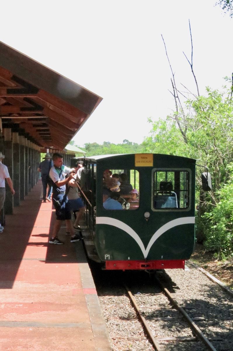
We rode the park train to the trailhead for the Devil’s Throat waterfalls and then walked 1.4 miles to the falls.
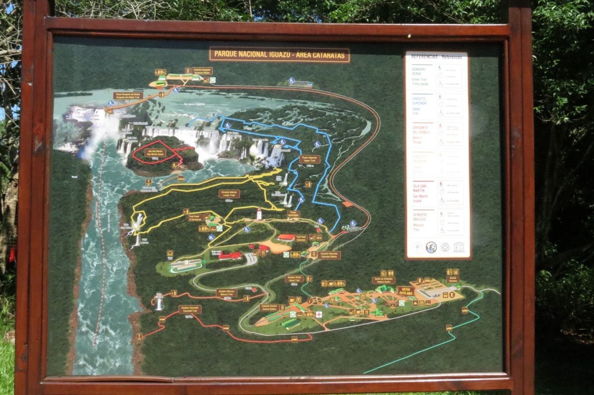
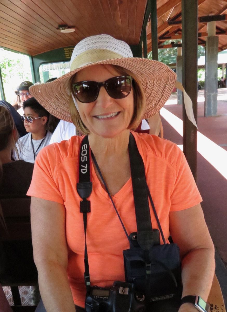
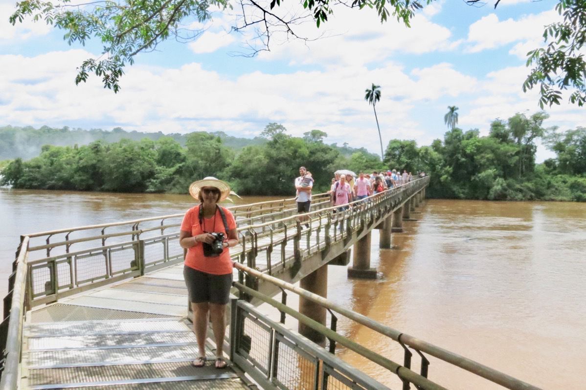
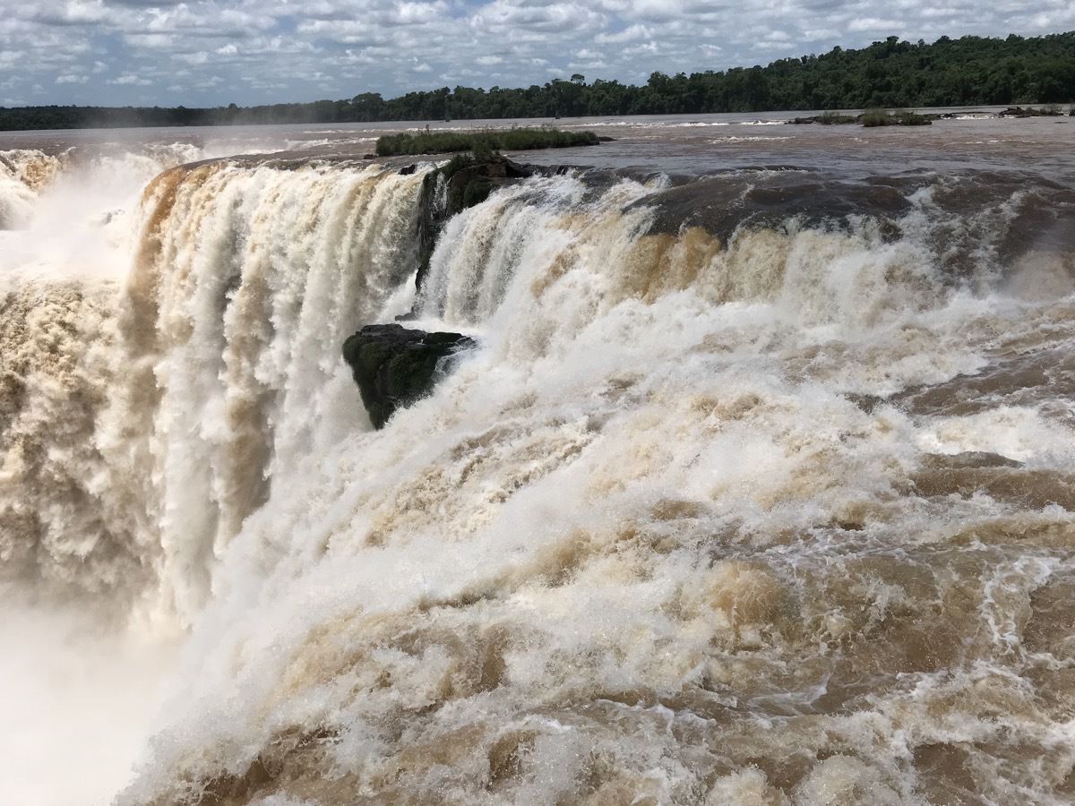
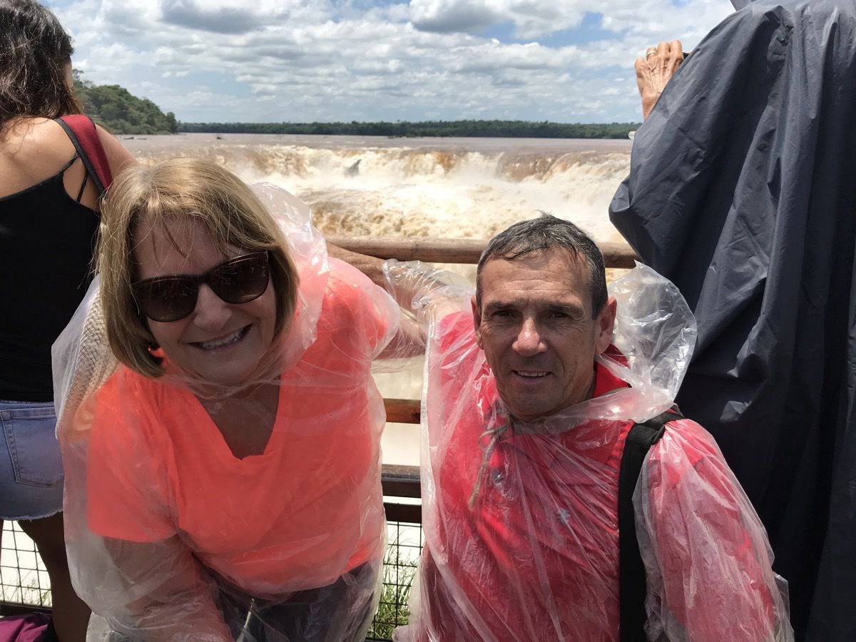
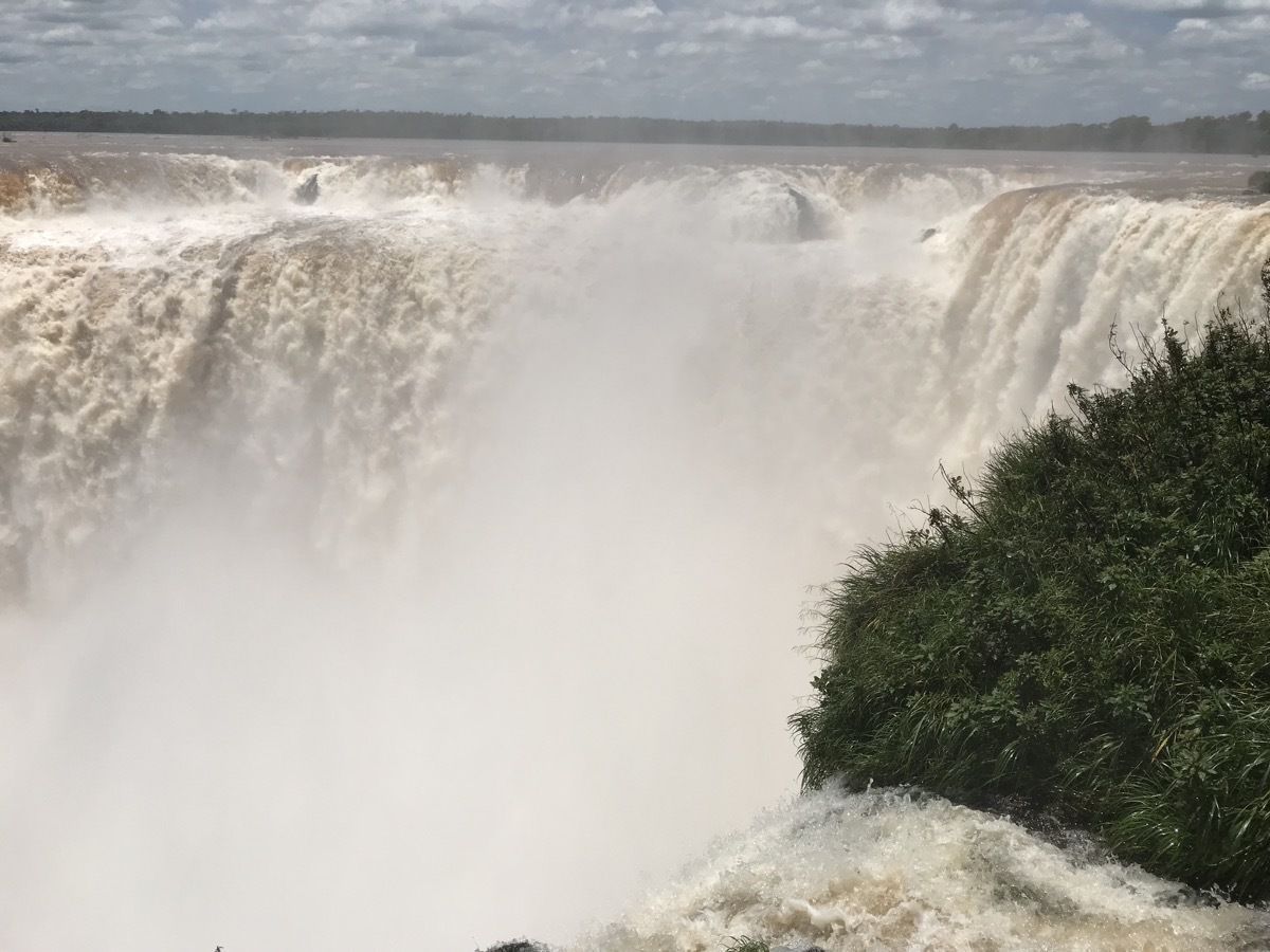
We road the train half way back and stopped for a buffet lunch.
After lunch we walked a little over a mile on the Superior Trail to get a fantastic view of other water falls that make up the total Iguazu Falls.
Along the way we passed several red rumpled caquiques (birds). Our guide told us the male birds arrive early and build the a net in hopes of attracting a mate. These nests are built in palm trees in very busy public places which the bird thinks this gives them protection from their natural predators, such as the toucan. When the female bird arrives she will go in the nest and jump up and down to make sure it is strong enough for her and the potential babies.. If she doesn’t think it is safe, she sprays if with a substance that tells the other birls “this nest is not safe.” She leaves the male and trys to find another male to mate with. The first male has to wait until the next mating season to find a mate when hopefully he will build a better next.
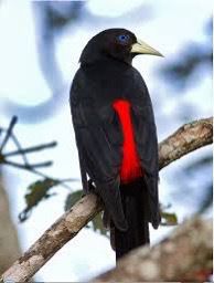
red rumpled caquiques
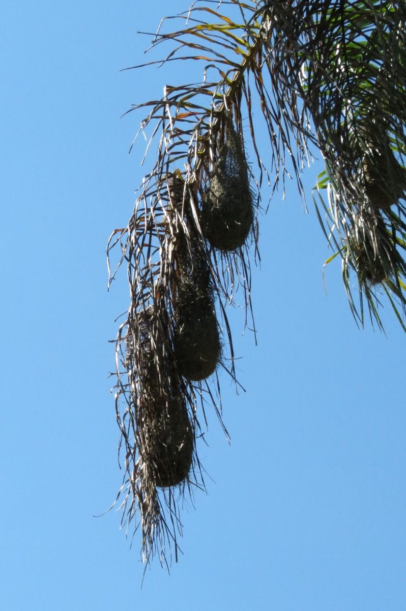
Here are five nests hanging from the branches of the a palm tree.
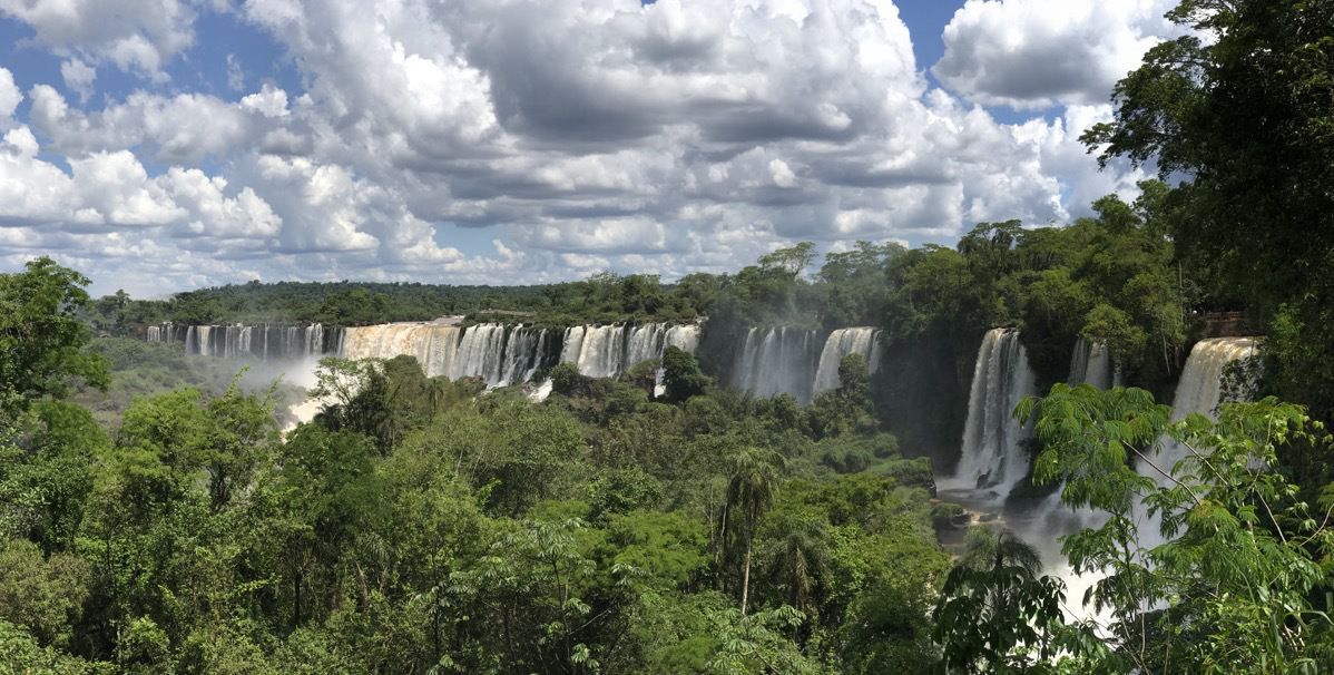
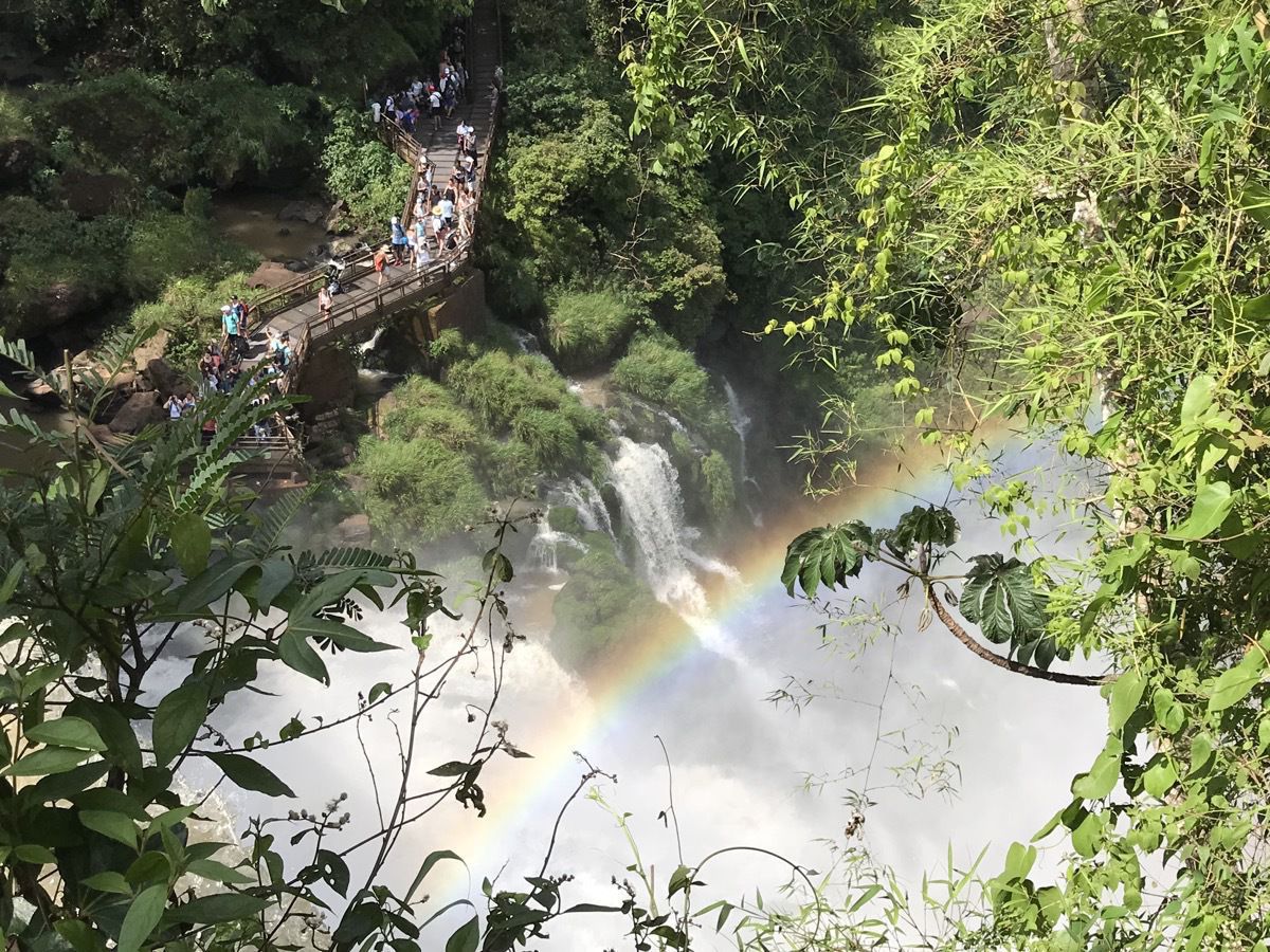 It was so beautiful to see all those falls!
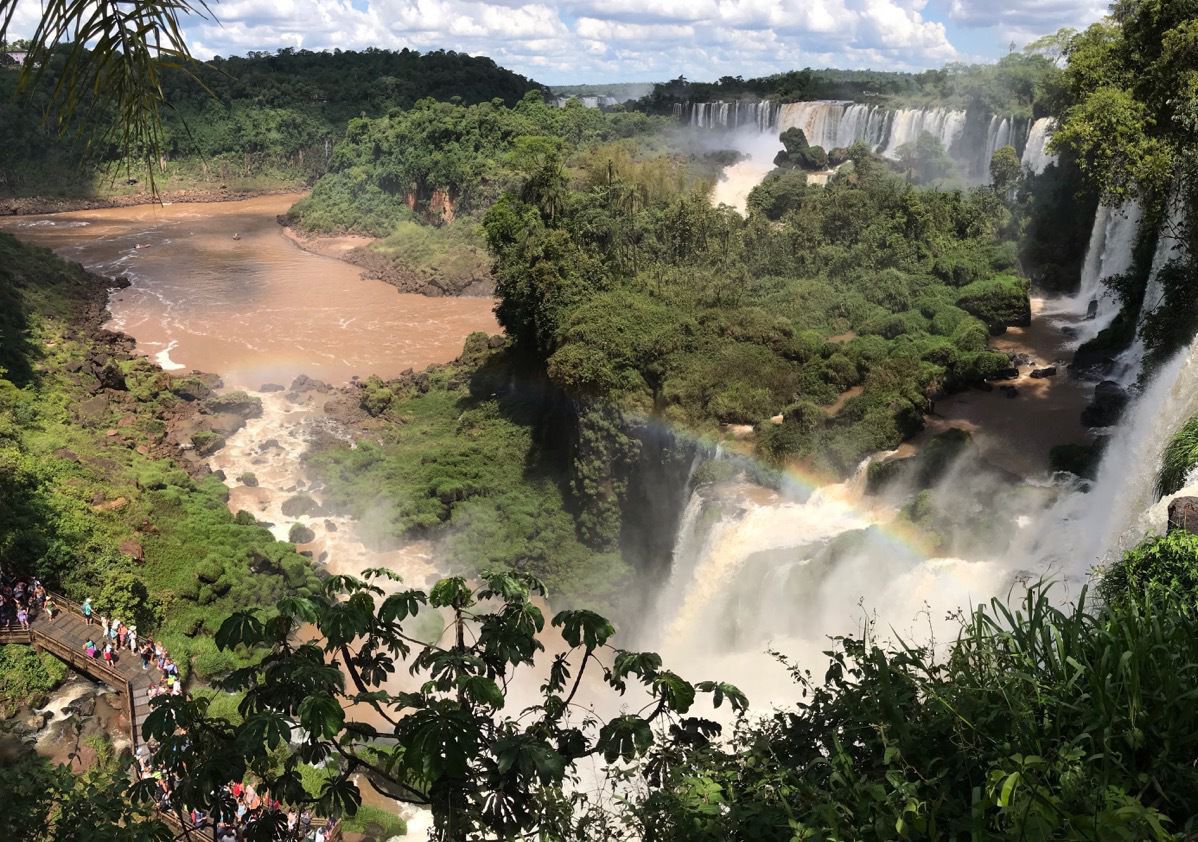
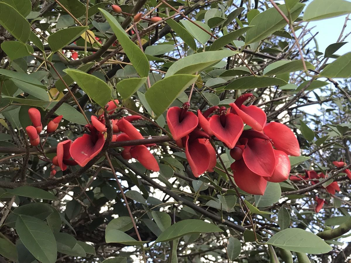
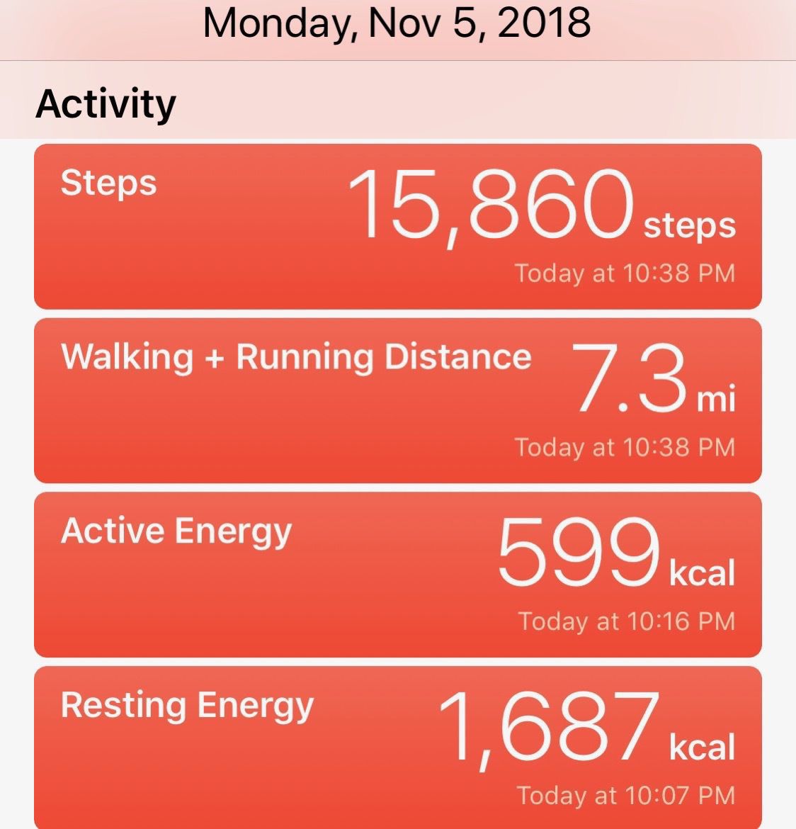
After spending the day at the falls, we were bused to the airport and flew to Buenos Aires. We arrived at 9:15pm. Walked across the street and ate dinner at Mcdonalds . They have a great guacamole deluxe hamburger that I ate for dinner tonight.
The weather today was sunny, hot and humid with the temperature in the 90’s.
We flew from the airport in Iguzua to Buenos Aires in the evening and arrived at 9:15.
-
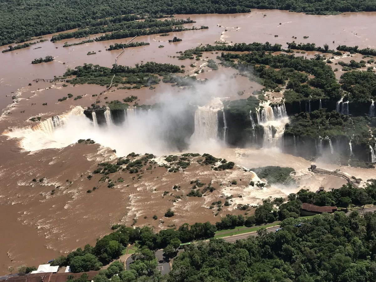
This morning we walked along the 1.5 mile trail on the Brazil side of Iguazu Falls. The falls were discovered in 1542 by traveler Alvar Nunez Cabeza de Vaca. The falls may be reached from two main towns, with one on either side of the falls: Foz do Iguaçu in Brazil and Puerto Iguazú in Argentina, as well as from Ciudad del Este, Paraguay, on the other side of the Paraná River from Foz do Iguaçu. The falls are shared by the Iguazú National Park (Argentina) and Iguaçu National Park (Brazil). The two parks were designated UNESCO World Heritage Sites in 1984 and 1987, respectively. The waterfalls vary in number during the year depending on the rainfall from 270 falls in the “wet” season to 150 in the dryer parts of the year. Together, they make up the largest waterfall system in the world.
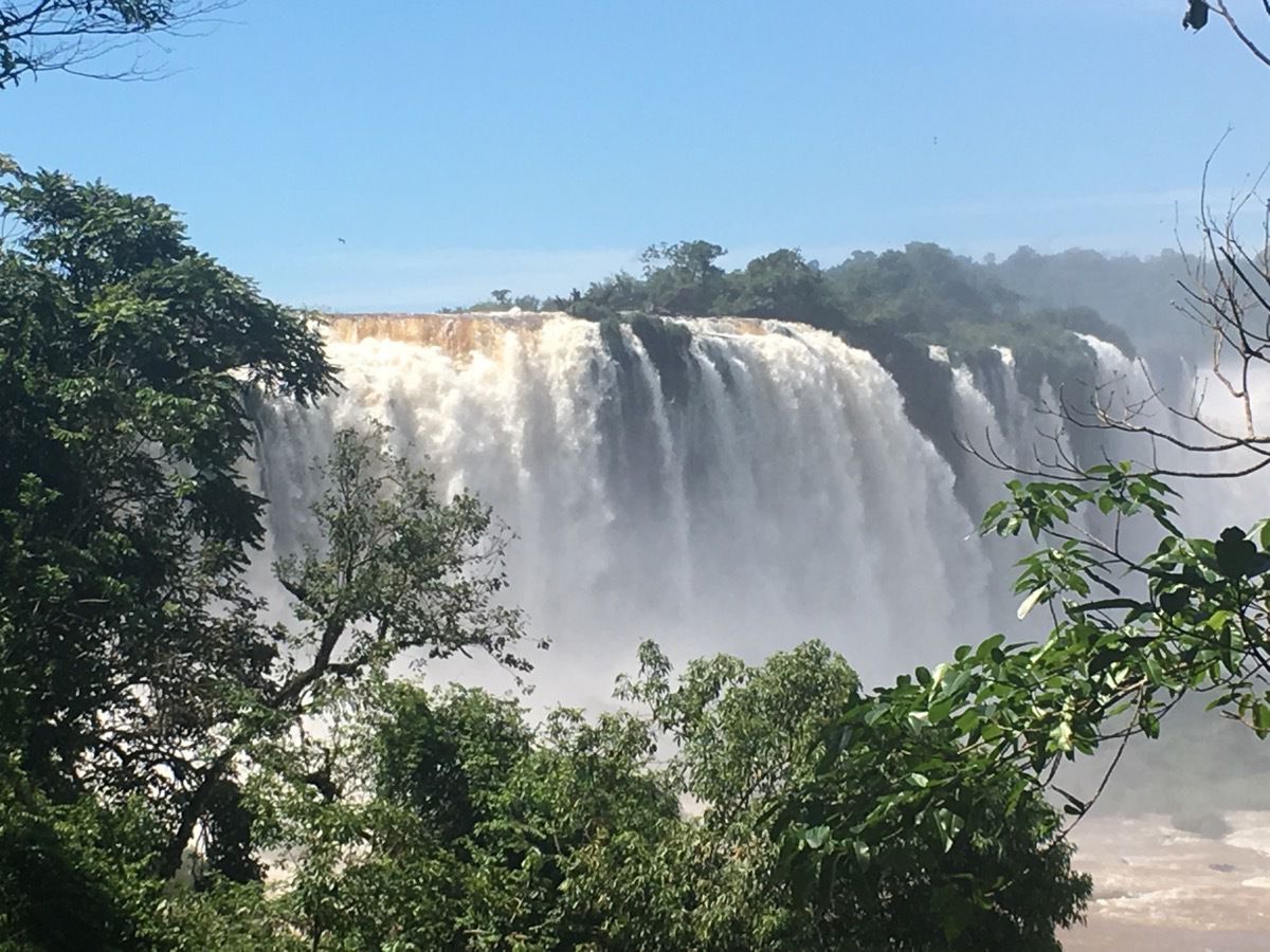
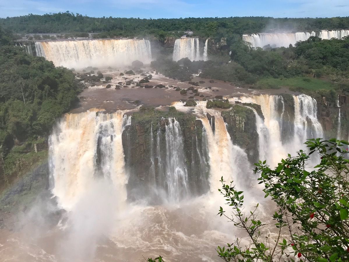
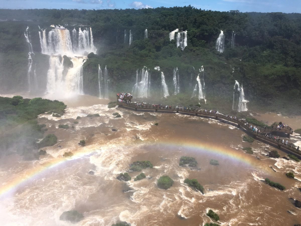
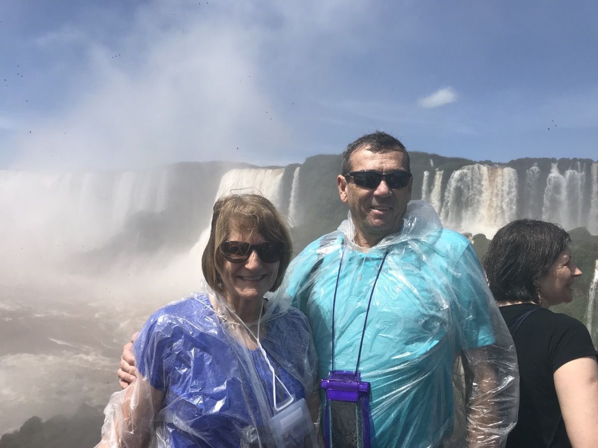
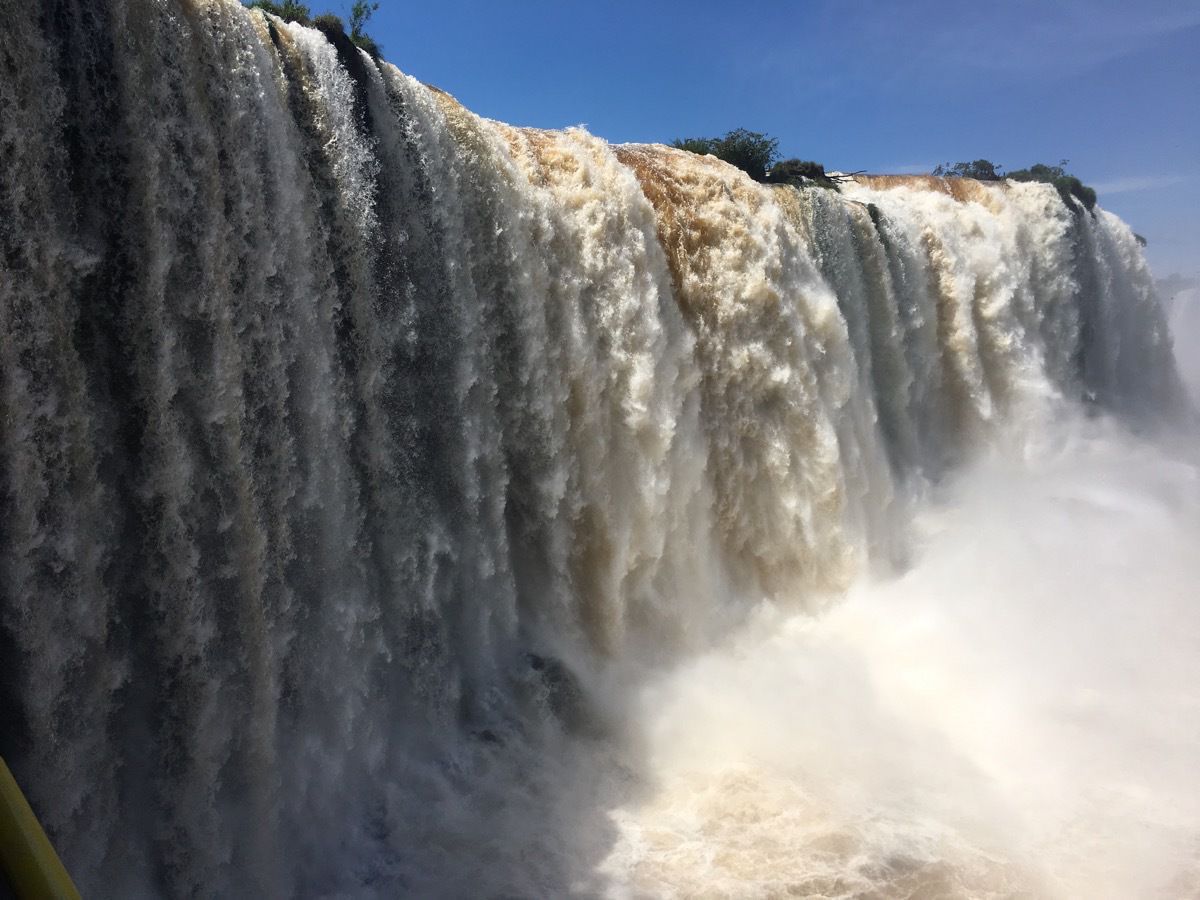
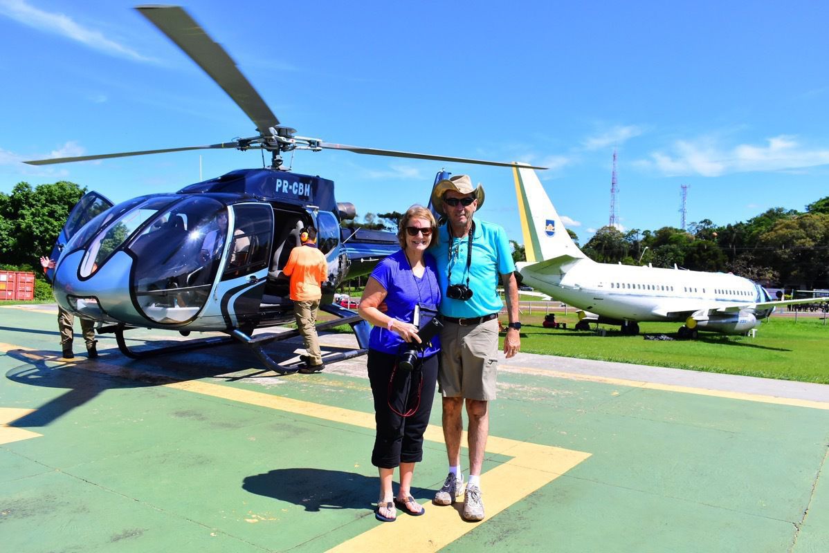
After viewing the falls by land we took a helicopter ride to see them from the air. Unfortunately, the only cameras we had with us today for these magnificent sights were our cell phones.

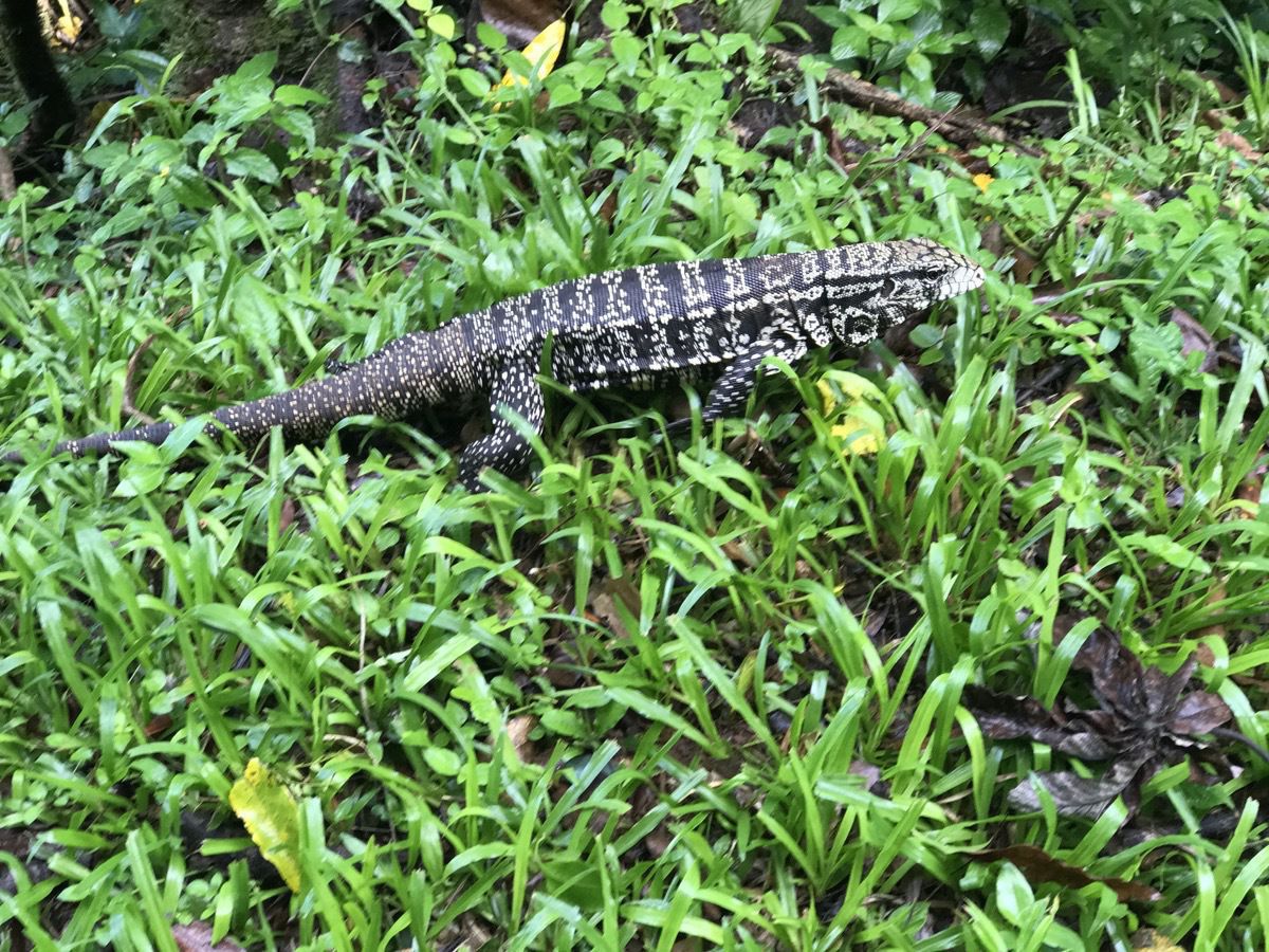
Coati are very plentiful around tourist. Because they have been fed human food so often, they will take any food that is within their reach. We even saw them take a drink from someone’s beer!
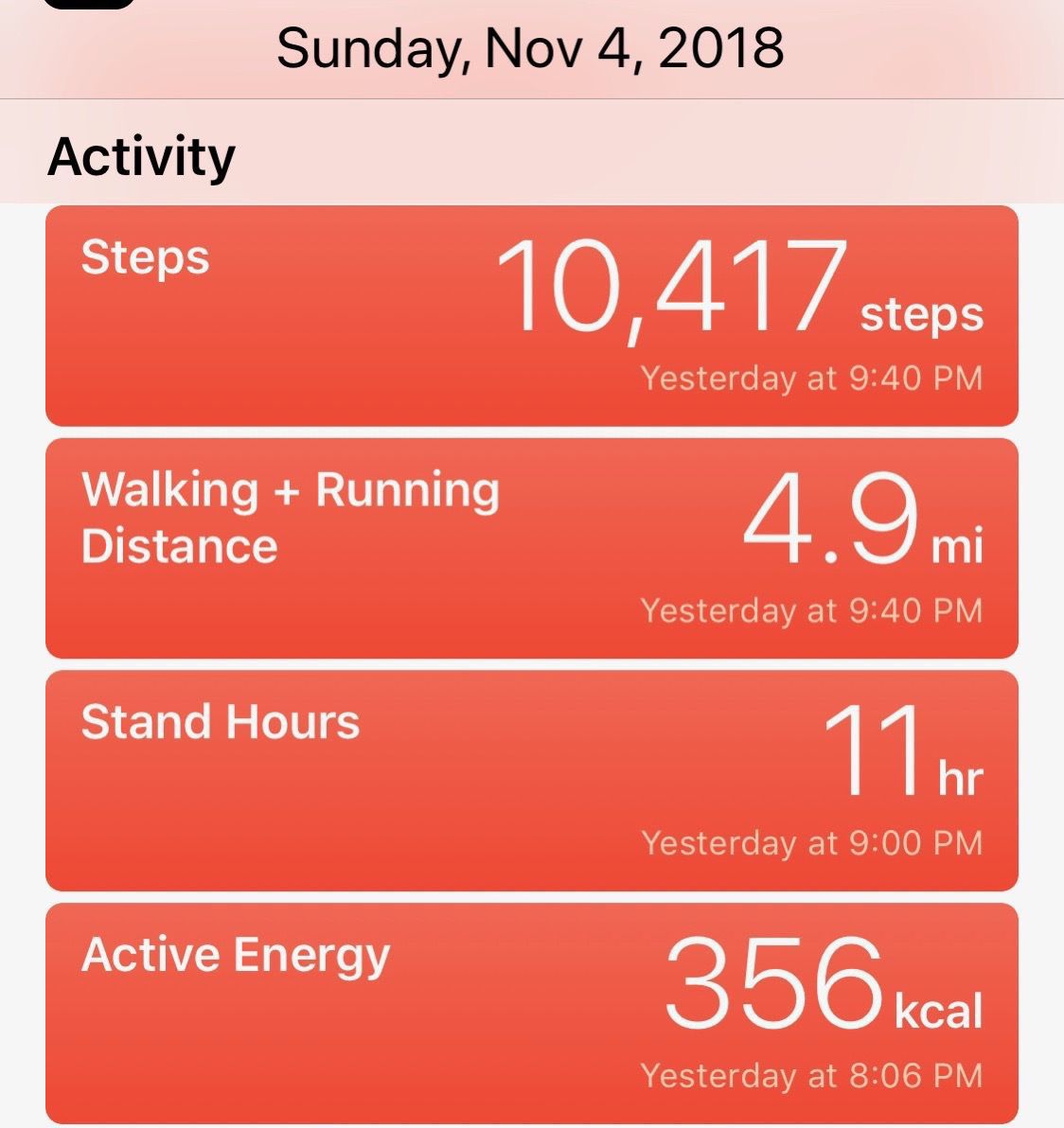
The weather was in the 80’s with high humidity.
-
Houston to Iguaçu, Brazil
After driving to Houston on Thursday evening November 1, we started our journey to South America on Friday morning.Twenty fours hours after boarding the plane in Houston, we arrived in Iguaçu, Brazil on Saturday morning after stops and layovers in Miami and Sao Paulo.
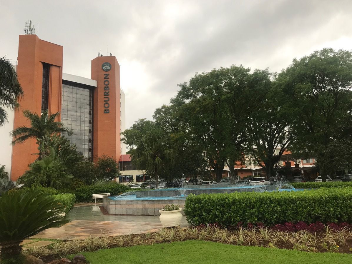
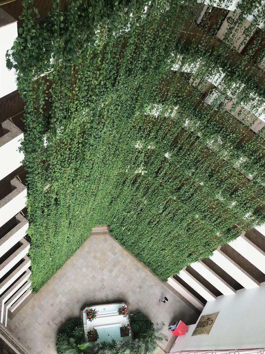
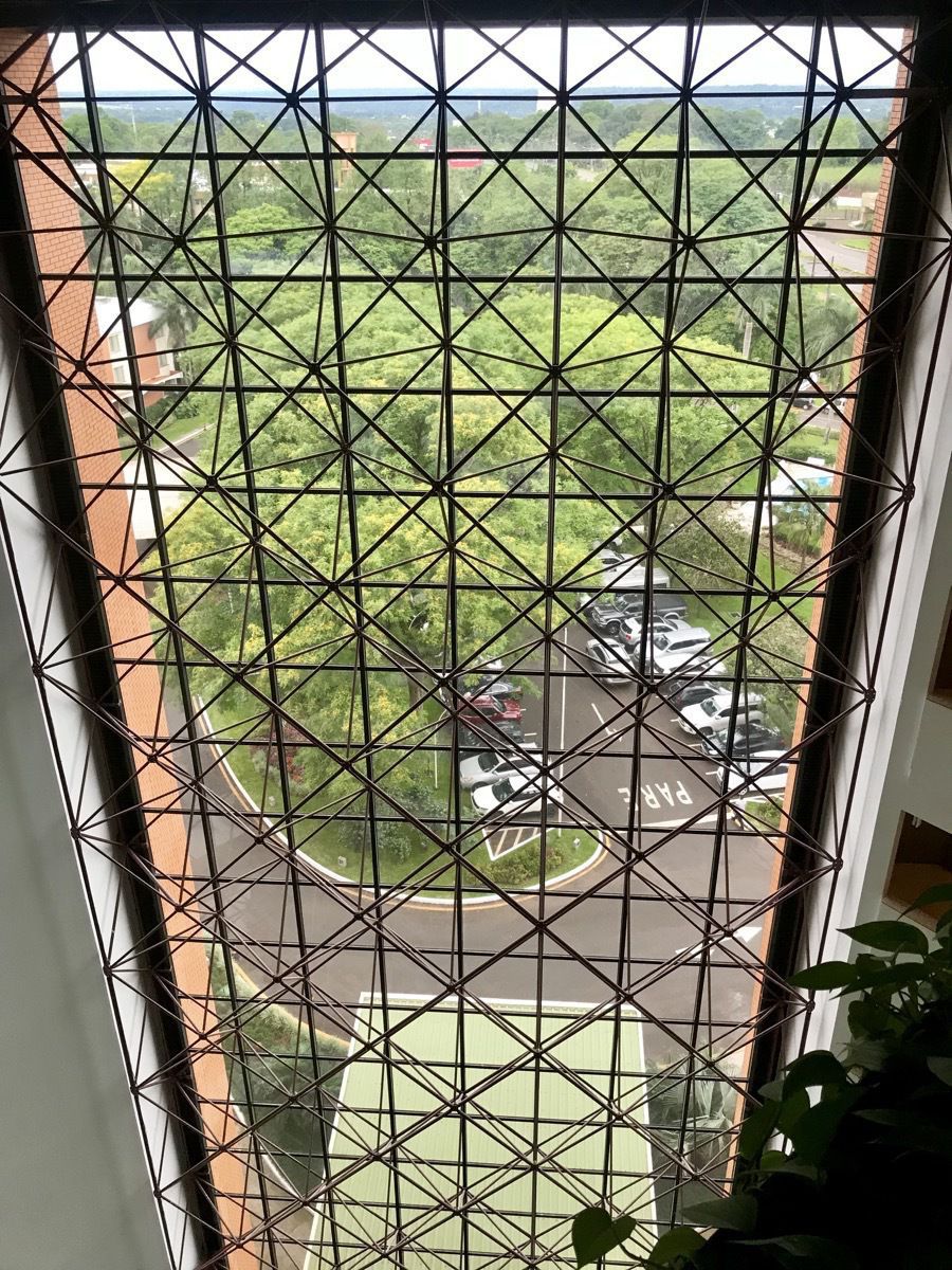
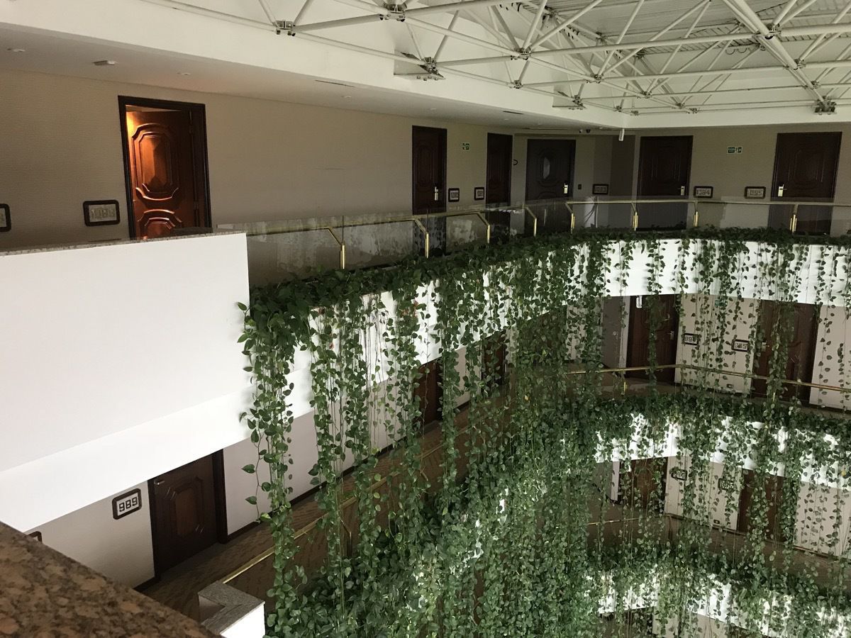
We are staying on the top floor at the very beautiful Bourbon Cataratas Resort. After a short nap we walked a one mile trail on the grounds of the resort through woods that included an aviary, vegetable gardens for the restaurant , wildlife, and the most interesting array of play areas for children and teenagers that we’ve even seen: playsets, zip lines, sky walks in the trees, gigantic tree houses, climbing walls, pool ball–played like pool, but with soccer balls and your foot, a soccer field, tennis courts, pools and inside jungle gyms and play facilities for small children. This place is truly a great destination for families with kids of all ages and for adults.
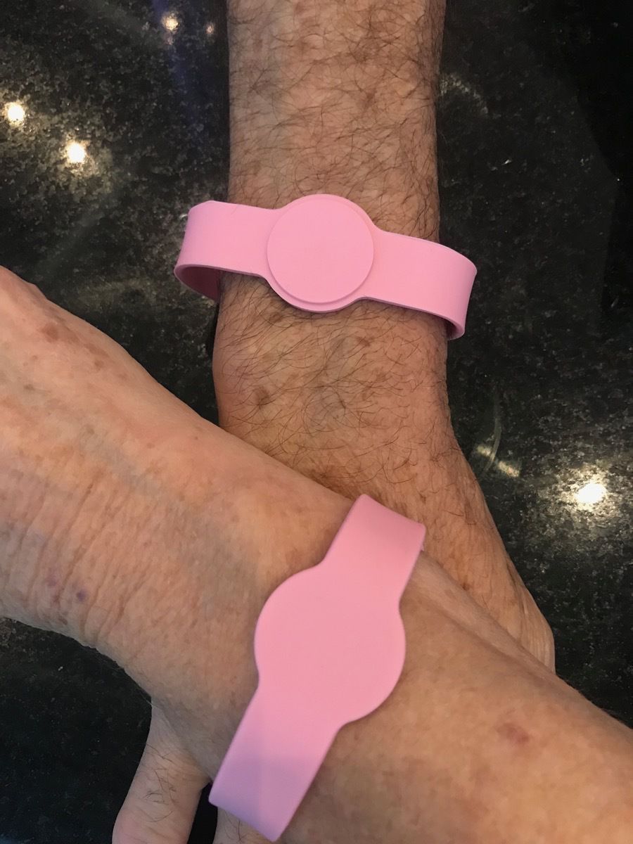
These are the armbands that unlock our hotel room. I feel like we should be at Disney World!
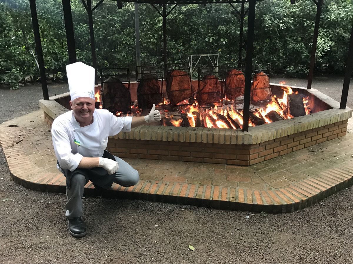
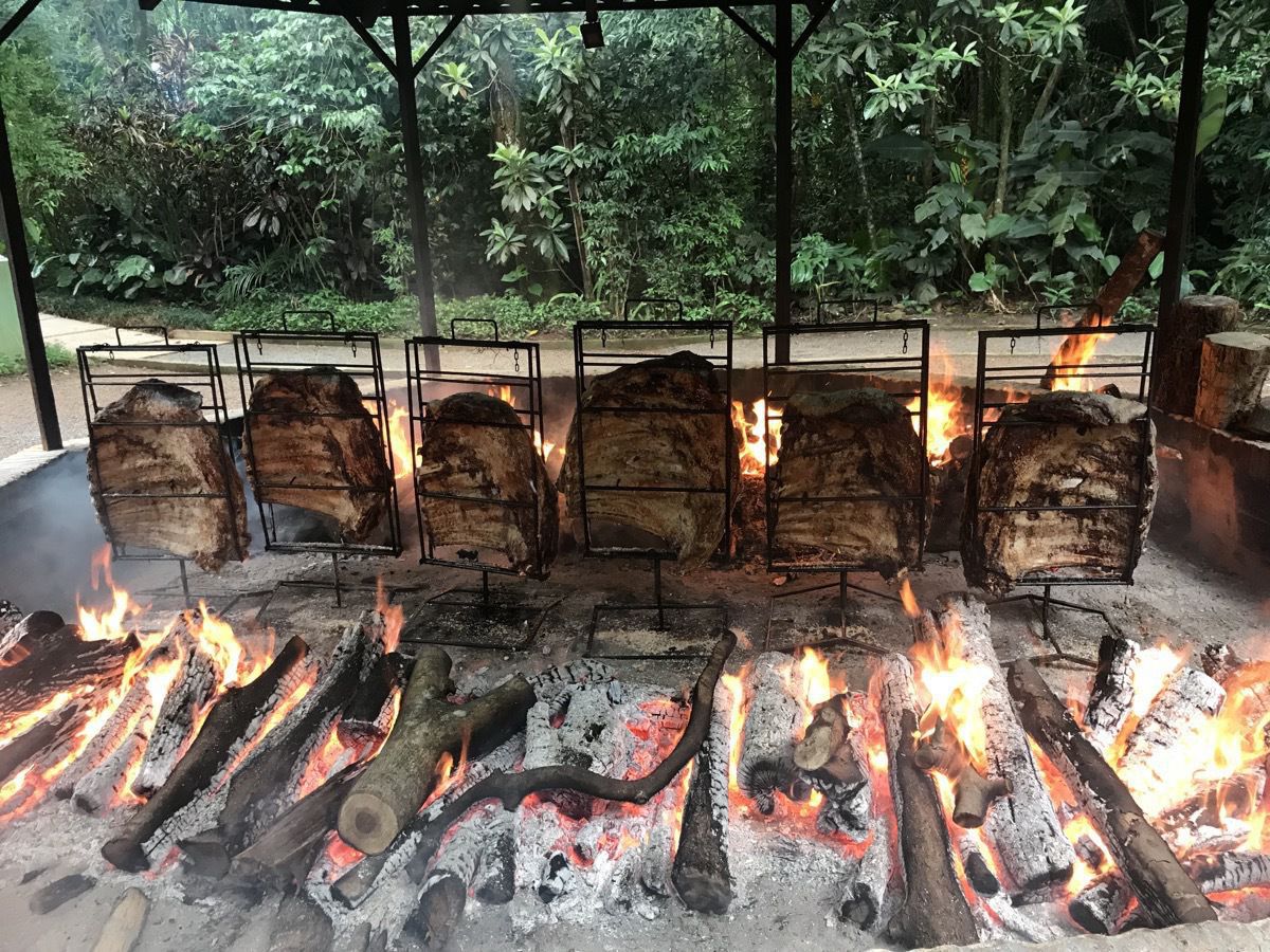
We watched one of the chefs cooking full racks of ribs on a huge outdoor pit. We have never seen such large racks of ribs.
In the late afternoon we walked to the mall which was only a mile from the hotel. We walked there and back in the rain, but that’s what raincoats are for. The mall was huge and had great play areas for kids and a huge assortment of stores, none of which we have seen in the states. The food court had some familiar names such as Subway, Burger King and McDonalds.
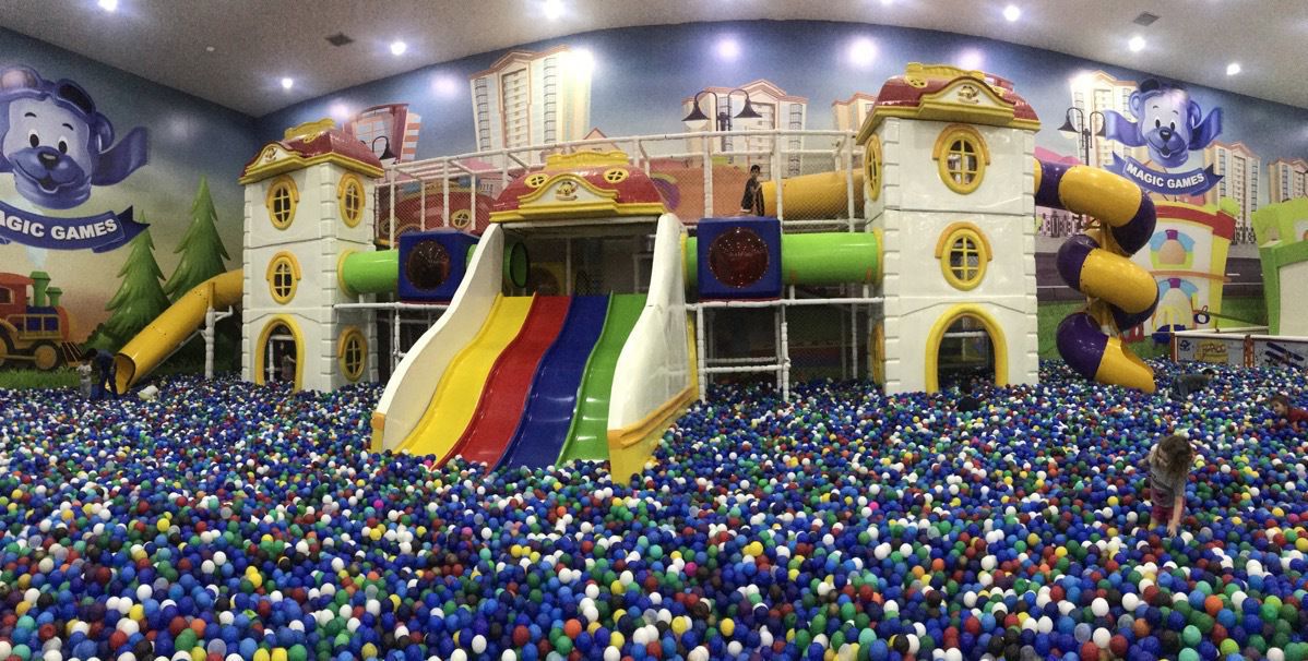 This was a playroom for kids at the mall and it was HUGE!

A little girl was having her birthday party at the playroom!
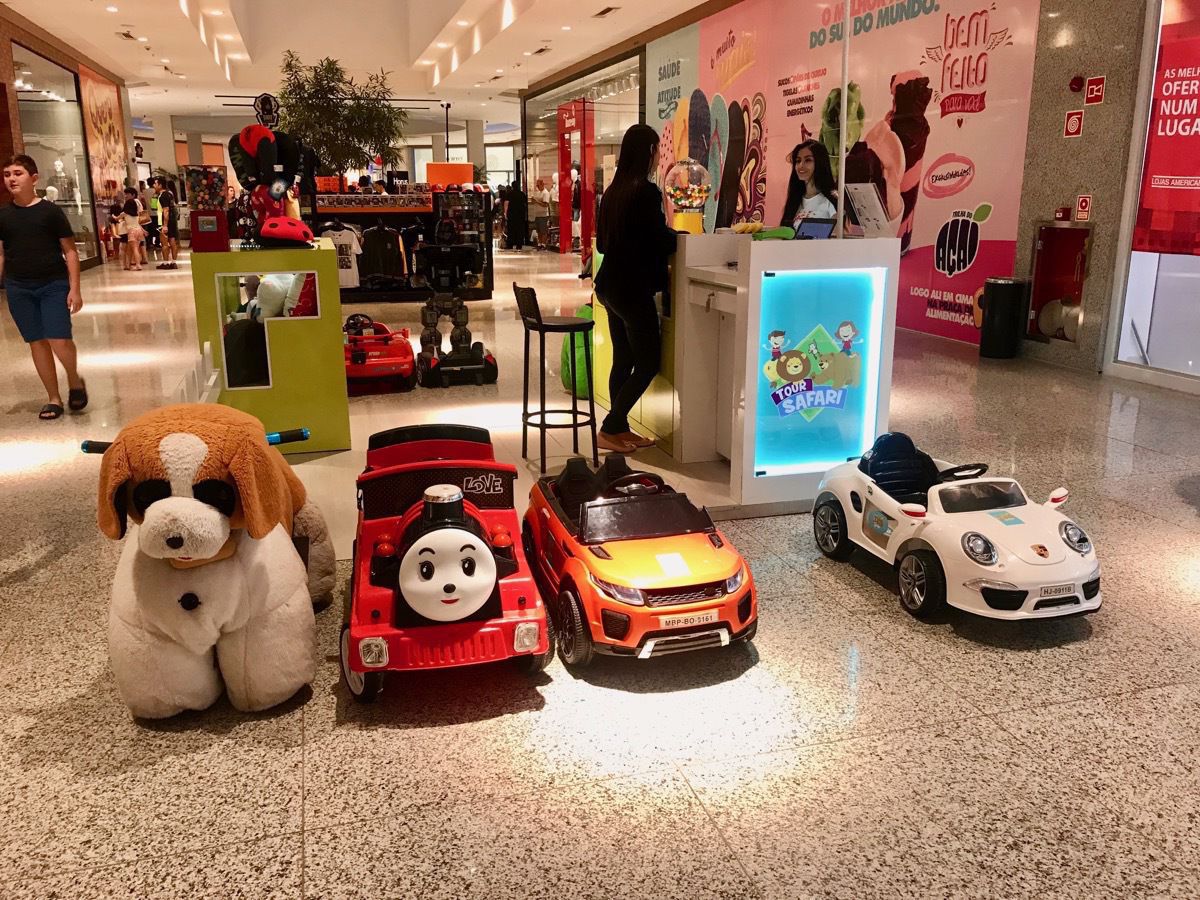
These battery powered vehicles could be rented and driven by small kids in the mall. It wasn’t very crowded tonight, but imagine little kids zooming in and out of people when it’s crowded.
-
Porto, Portugal
iPorto is the second-largest city in Portugal after Lisbon, with a population of 257,000. It is know for its bridges and wine production.
Located along the Douro river estuary in Northern Portugal, Porto is one of the oldest European centers, and its historical core was proclaimed a World Heritage Site by UNESCO in 1996. The western part of its urban area extends to the coastline of the Atlantic Ocean.
One of Portugal's internationally famous exports, port wine, is named after Porto. Porto is on the Portuguese Way path of the Camino de Santiago.
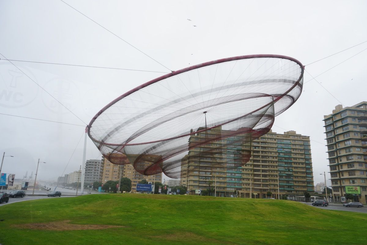
When we first arrived in Porto, we saw this piece of artwork that turns with the wind.
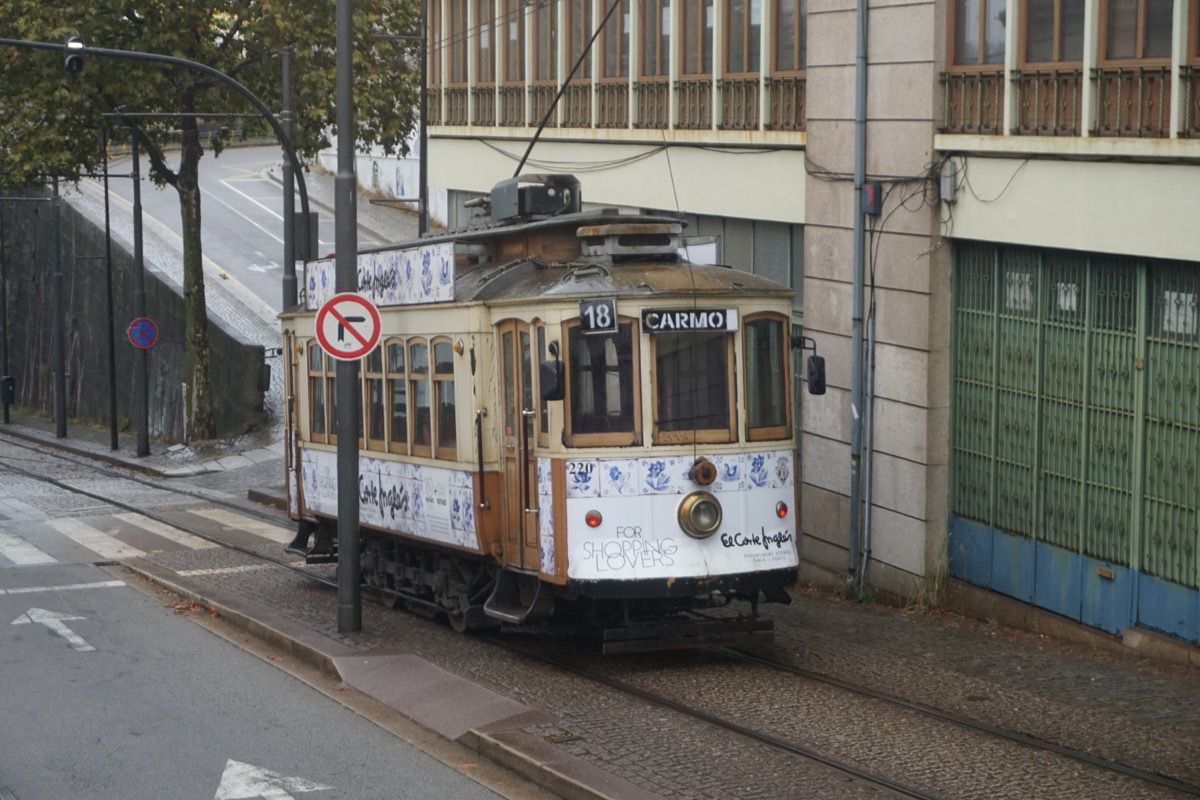
The tram system in Porto dates back to 1872 when mules pulled the tram cars. In 1895 electric traction was introduced and the last mule drive tram was retired in 1904. There is only one line left in town and it’s operated as a heritage line.
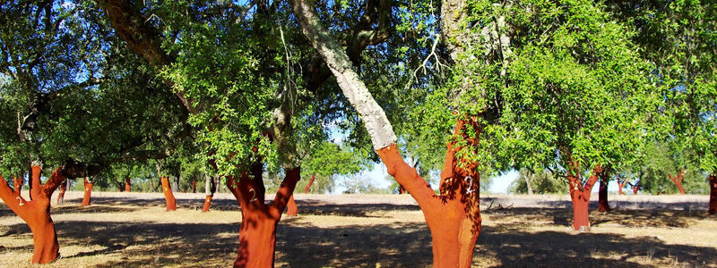
These are cork trees that are native to Portugal. These trees are usually harvested for the first time when they are 25 years old and then re-harvested every 9-12 years afterwards. A cork oak tree can live for around 200 years as each tree’s harvest can produce as many as 4,000 wine bottle corks.
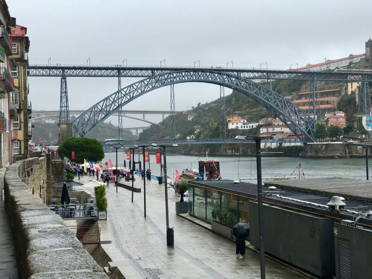
Porto is know for its Port Wine and for its many bridges.
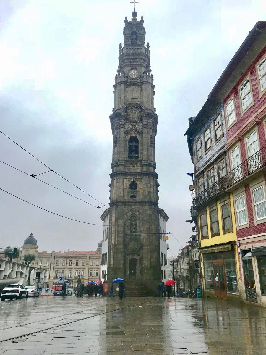
It was a good day to climb to the top of the tower to look out and see the city.
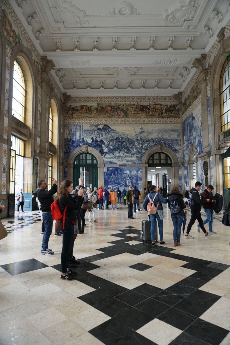
The beautiful painted tiles on the Central Station walls.
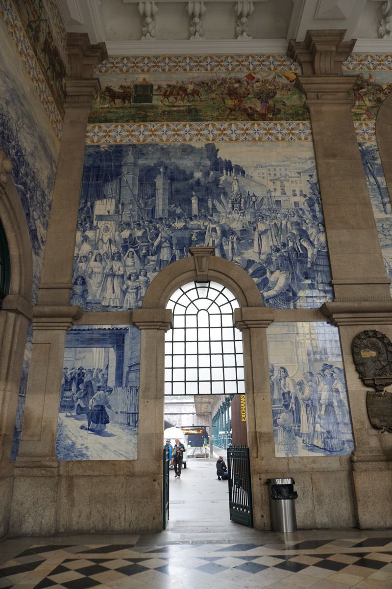
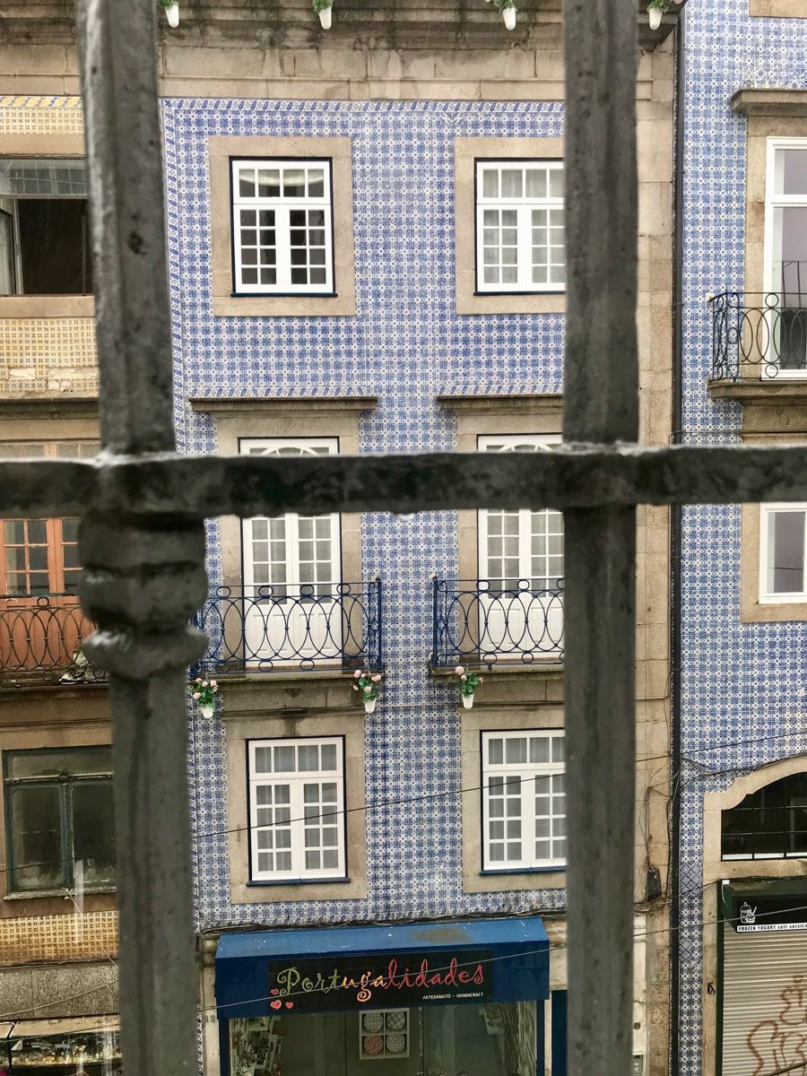
The houses and stores are covered with hand painted blue and white tiles.
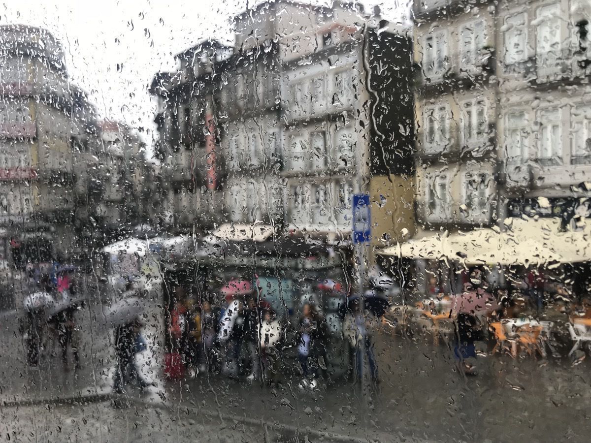
My rainy day “painting” of Porto.
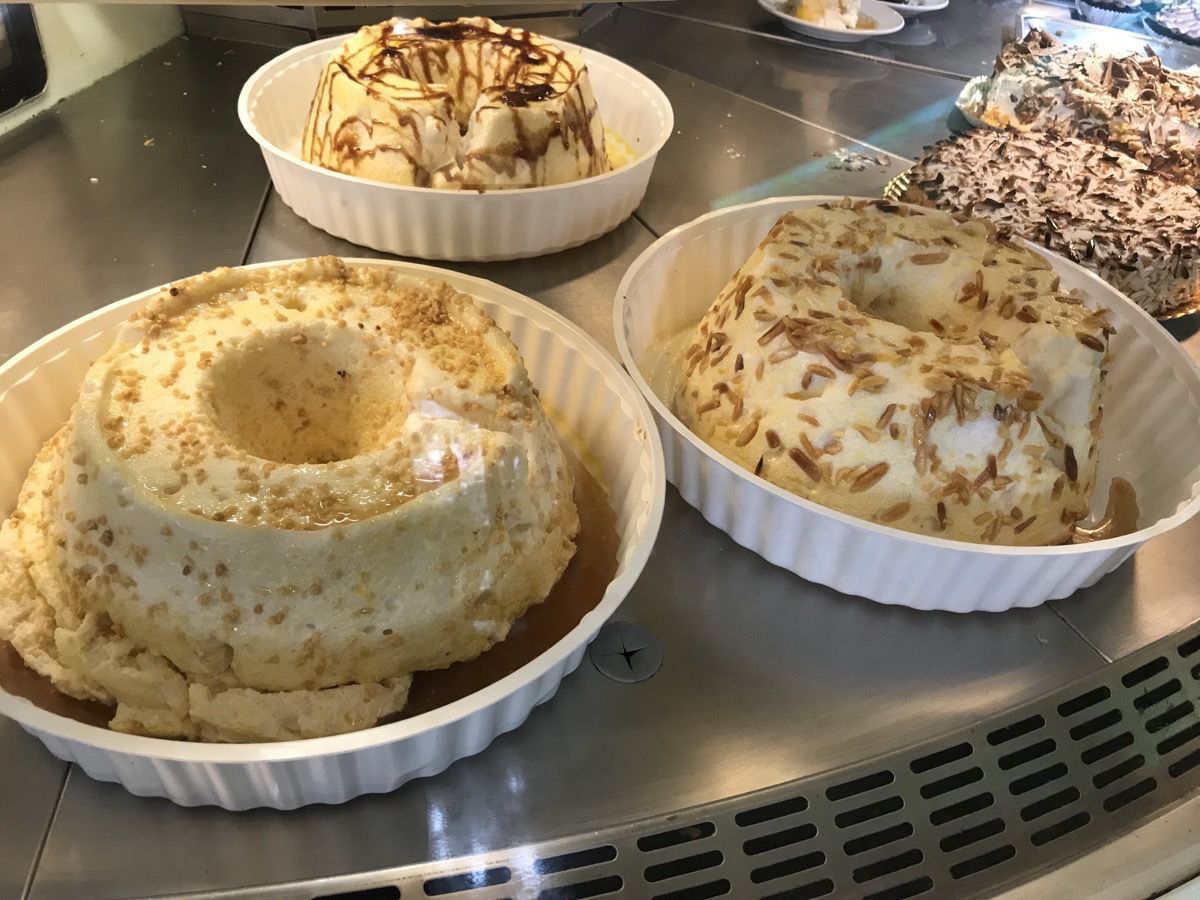
Some yummy looking meringue treats in a bakery window.
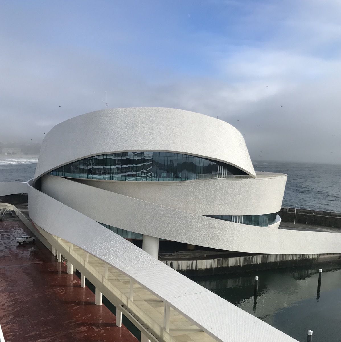
This is the cruise ship terminal. It is covered with white tiles that are turned out at angles to resemble fish scales.
-
Stonehenge and Salisbury,, England
Since this was our first port in England, the English immigration required all of us to have our passports checked as we stood in line for over an hour before we could get off the ship. Since the ship was late getting into port in the morning, the process was even more lengthy because the immigration officials arrived 1/2 hour later than scheduled while we were in line waiting for them.
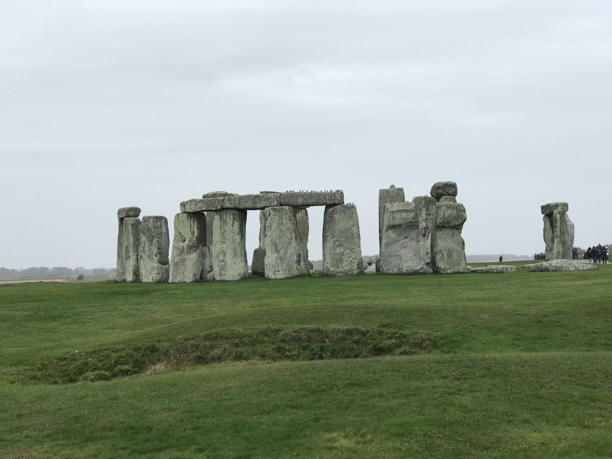
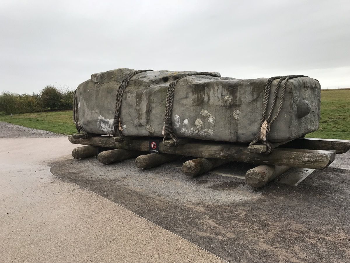
We left for our tour at 8:45 and drove by the white chalk cliffs in Portsmouth on the way to Stonehenge. When we got out of the bus to tour Stonehenge, it was raining hard, cold and very windy. Nevertheless, we walked up to and all the way around the monument and got drenched.
Stonehenge
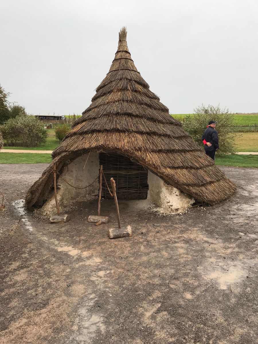 These are the homes the people that built Stonehenge may have lived in based on ruins that have been recovered.
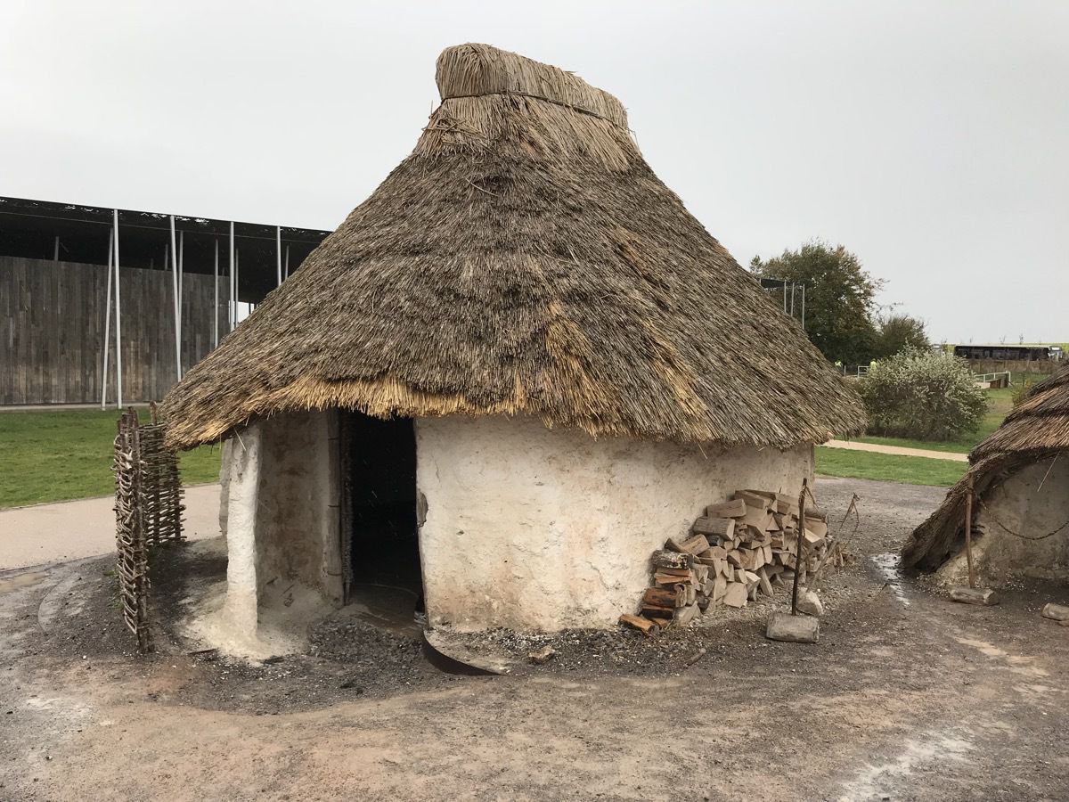
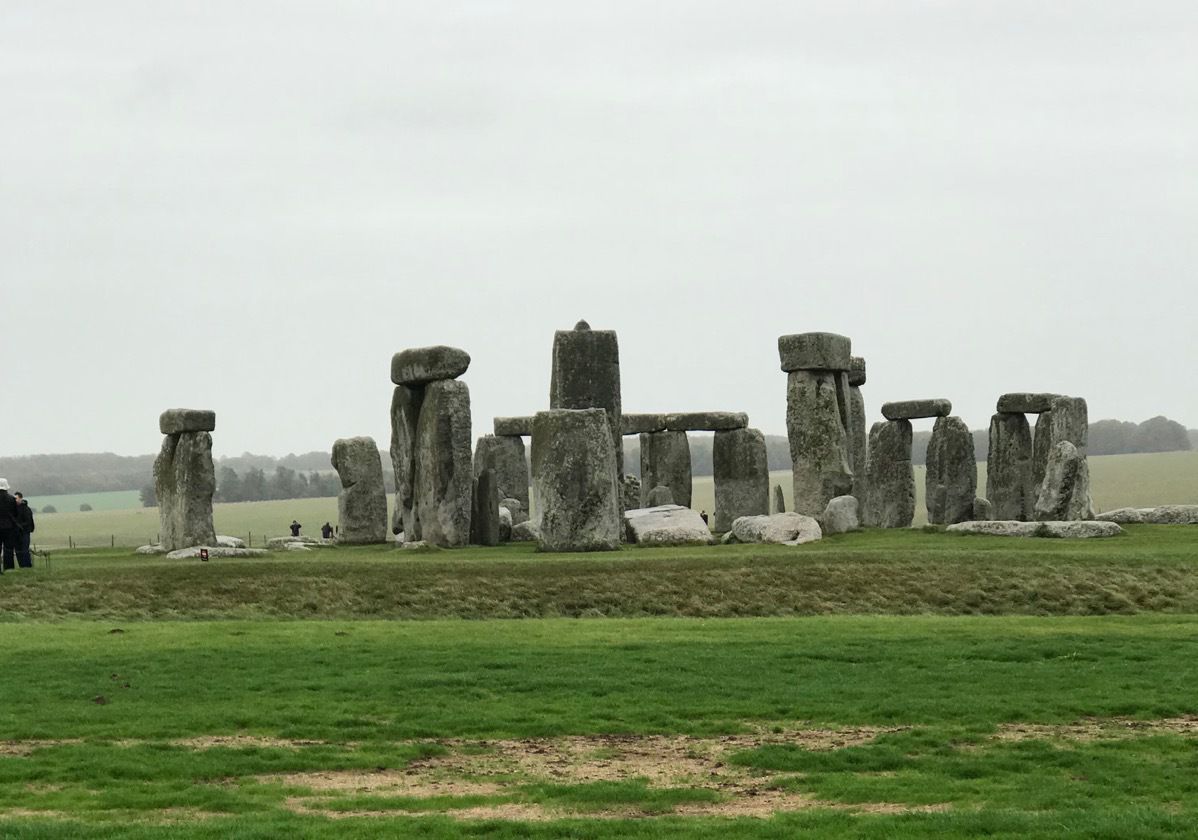
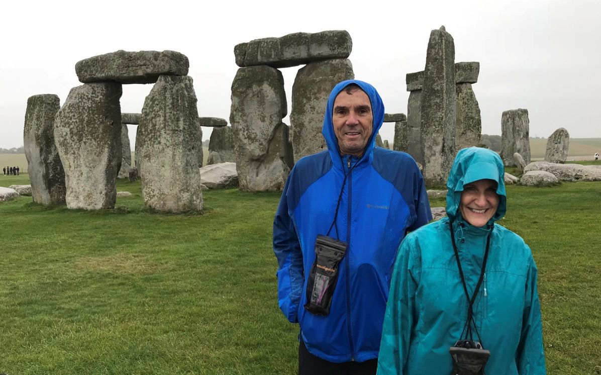
Even though you can’t tell from the pictures, it was pouring down rain while we were here.
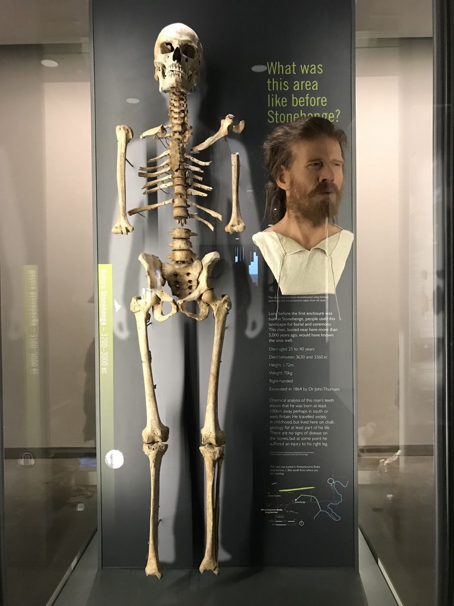
Science is amazing. This man‘s body is more than 5,000 years old. Long before Stonehenge, people used this landscape for burial and ceremony. Scientists calculate his age to have been 25-40 years. He died between 3630 and 3360BC. He would have been about 5’6” and weighed about 154 pounds. He was right handed. Chemical analysis of the man’s teeth show he was born at least 200 miles away. He travelled widely as a child, but lived here on chalk geology for at least part of his life.
Salisbury Cathedral
The Salisbury Cathedral has Britain’s tallest spire and houses the best preserved of four copies of the Magna Carta. The main part of the church was built between 1220 and 1258 and the spire was added in 1320. When the spire was added it added almost 6,400 tons of weight to the building that only had a four foot foundation due to the high water table. Without the addition of buttresses, bracing arches and anchor irons over the succeeding centuries, it would have suffered the fate of spires on other great ecclesiastical buildings and fallen down;.
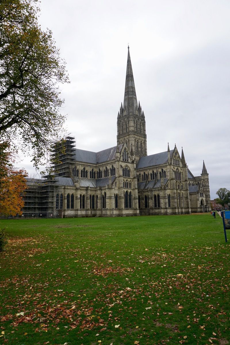
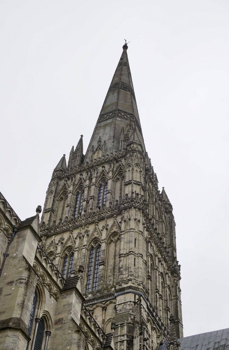
The spire is 404 feet all and weighs nearly 6,400 tons.
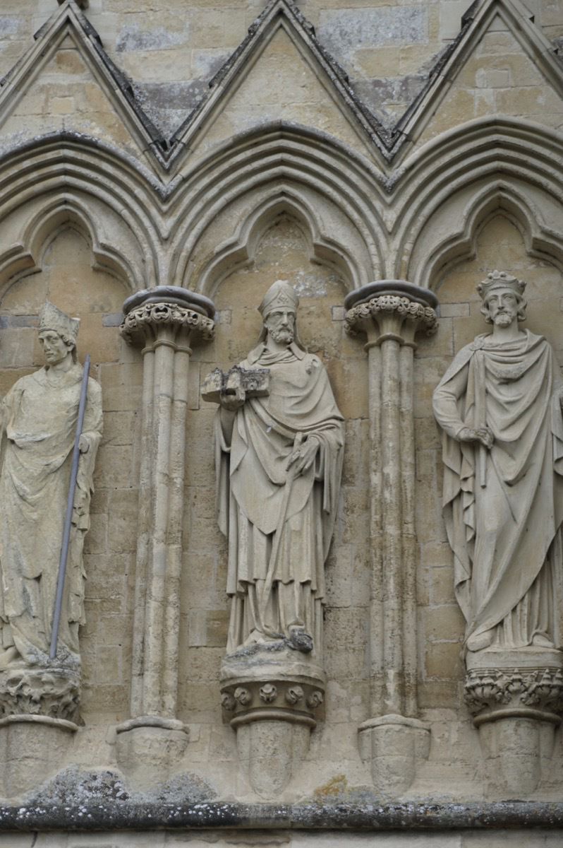
The center Bishop is hold a model of the original church.
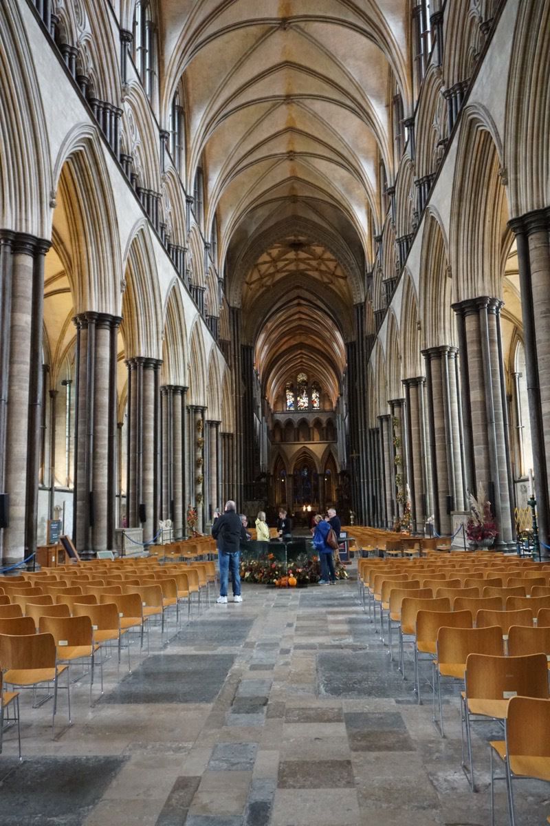
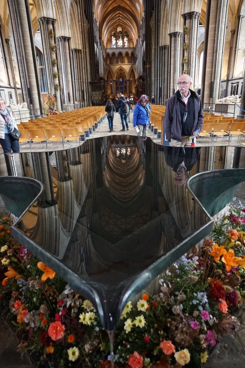
This is the baptistimal font
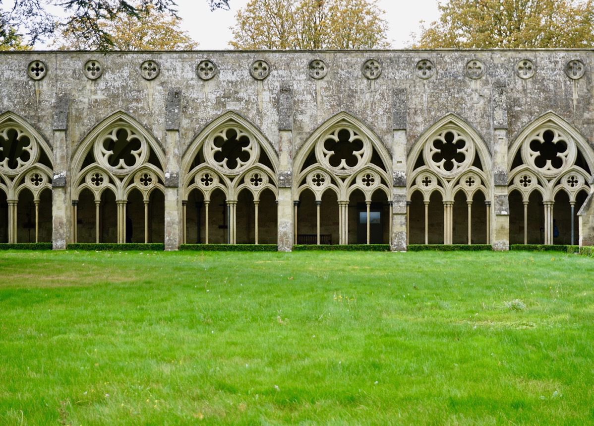
Courtyard walkway.
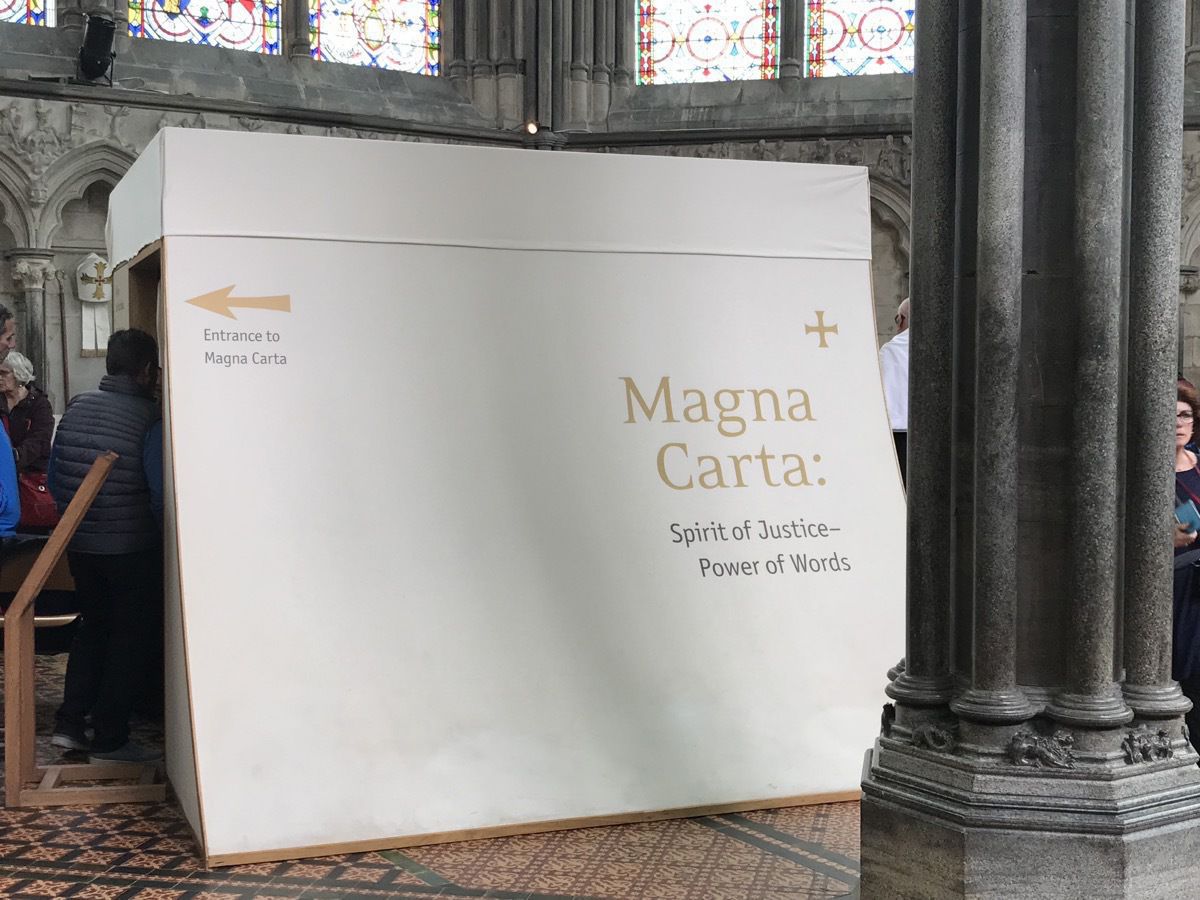
Magna Carta
The best preserved of the four copied of the Magna Carter is stored here on the couch premises. We could walk through this boxed area and look at the Magna carter, but no photos were allowed.
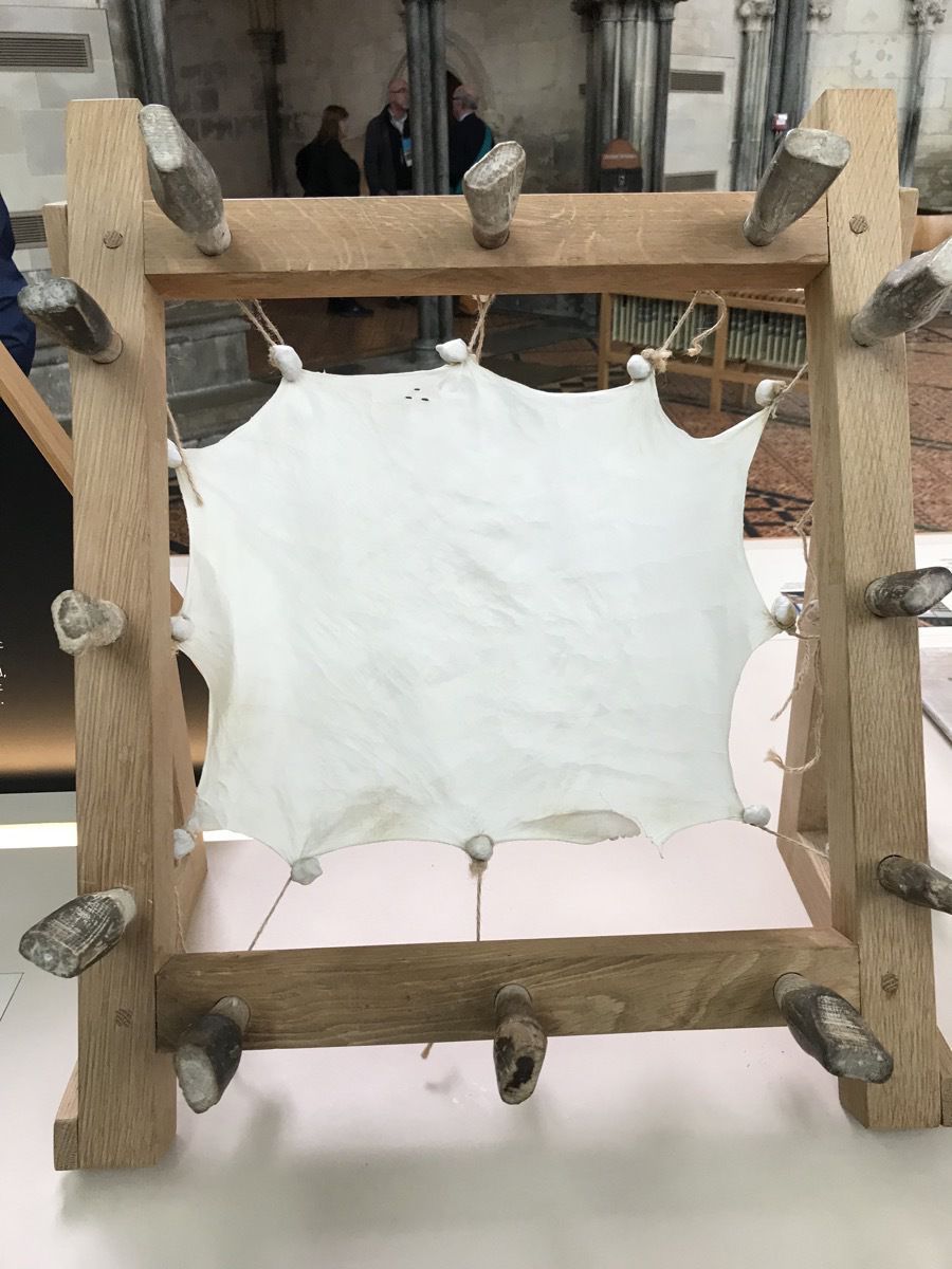
The Magna Carta was written on very thin sheep kin.
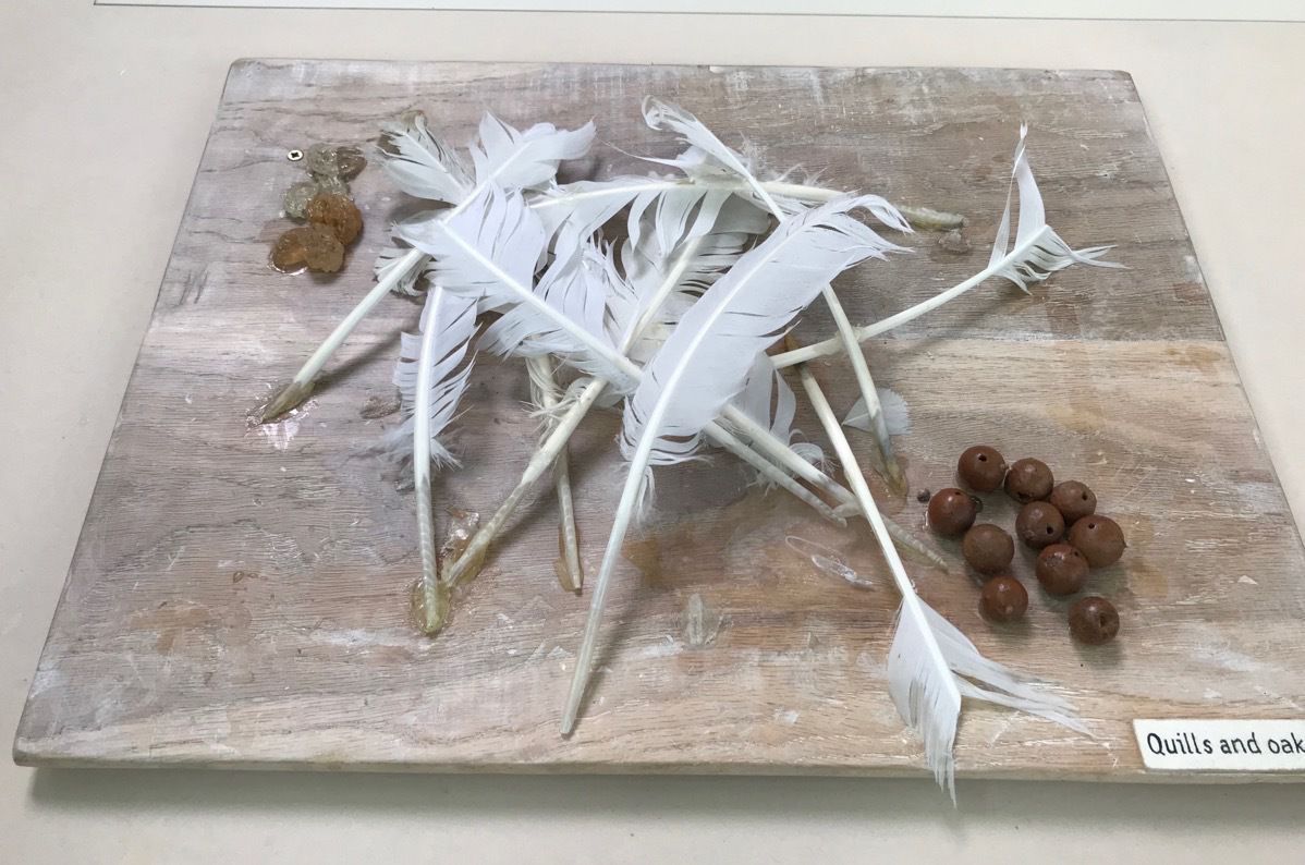
The Quill feathers were used as the ink pens.
-
Paris
We got off the ship at 8:30 and had a THREE hour bus ride into Paris. We had pre-scheduled a private tour of the Louvre and were to meet the guide at the statute of Louis XIV on his horse which is by the entrance. We were running late on our arrival and luckily the guide was running late also. We had a fantastic tour! Apparently the Louvre wasn’t nearly as crowded as normal, so we were able to move around without crowds.
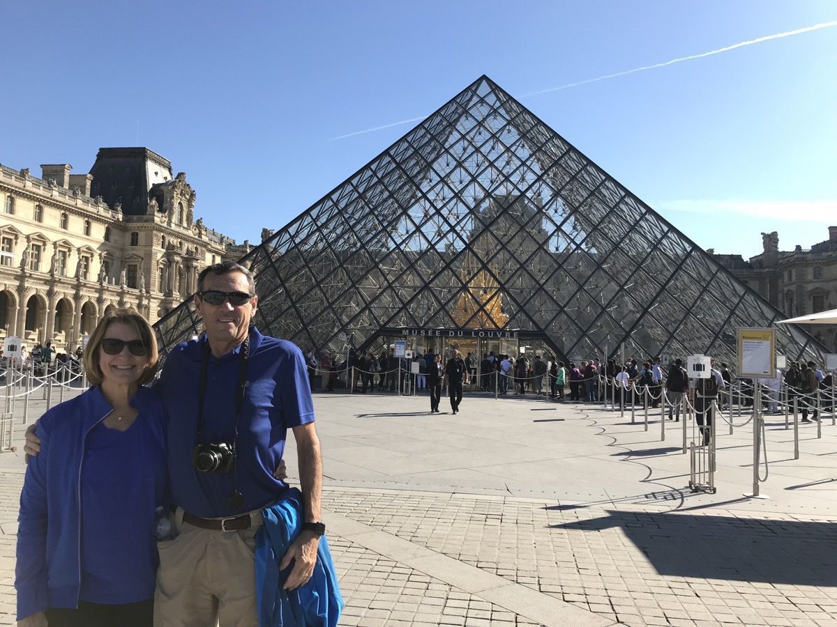
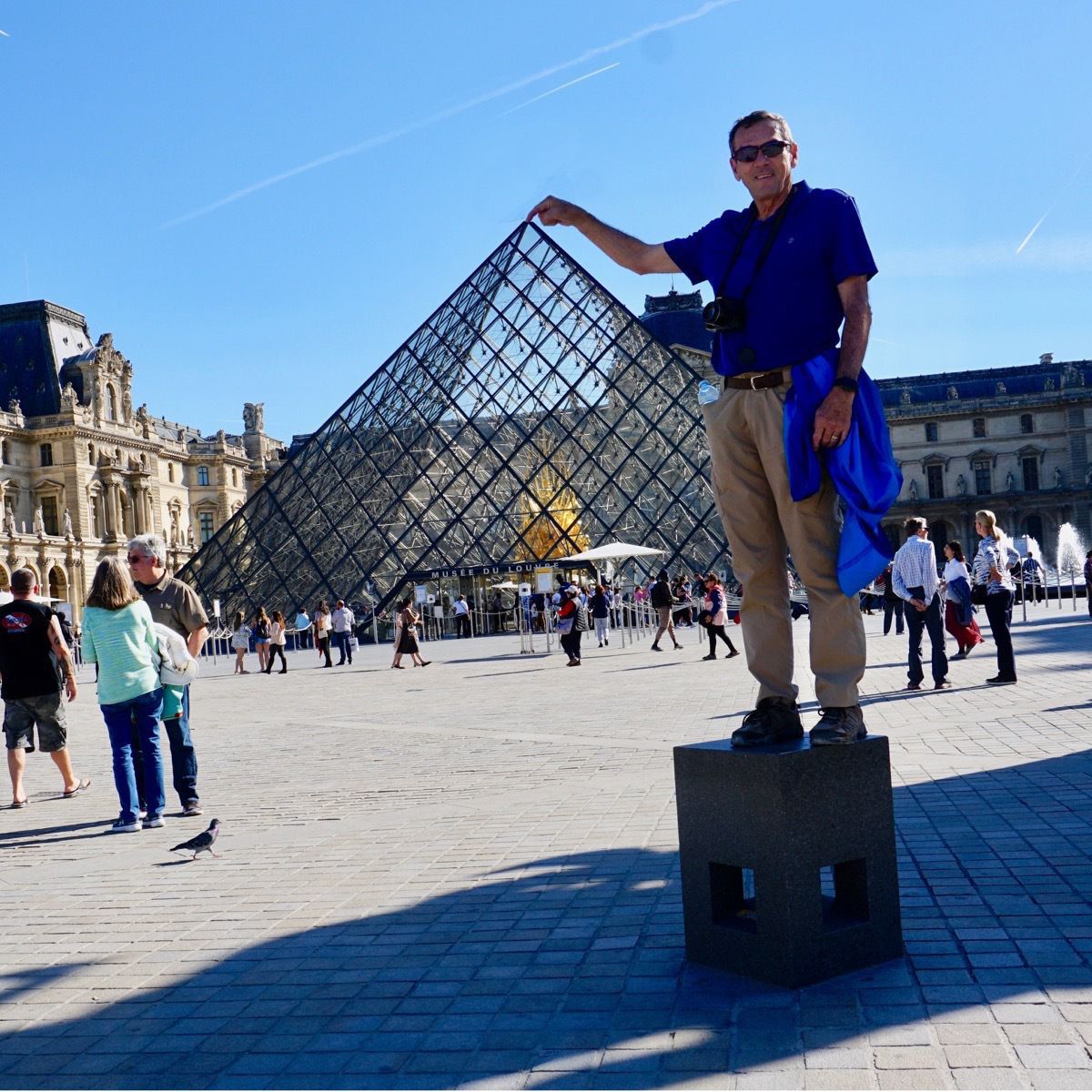
When in Rome, do as the Romans. Since we were in Paris, Tom did what the young tourists were doing.
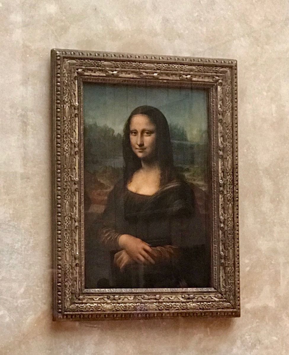
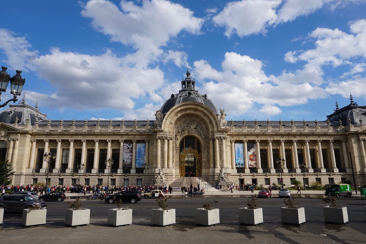
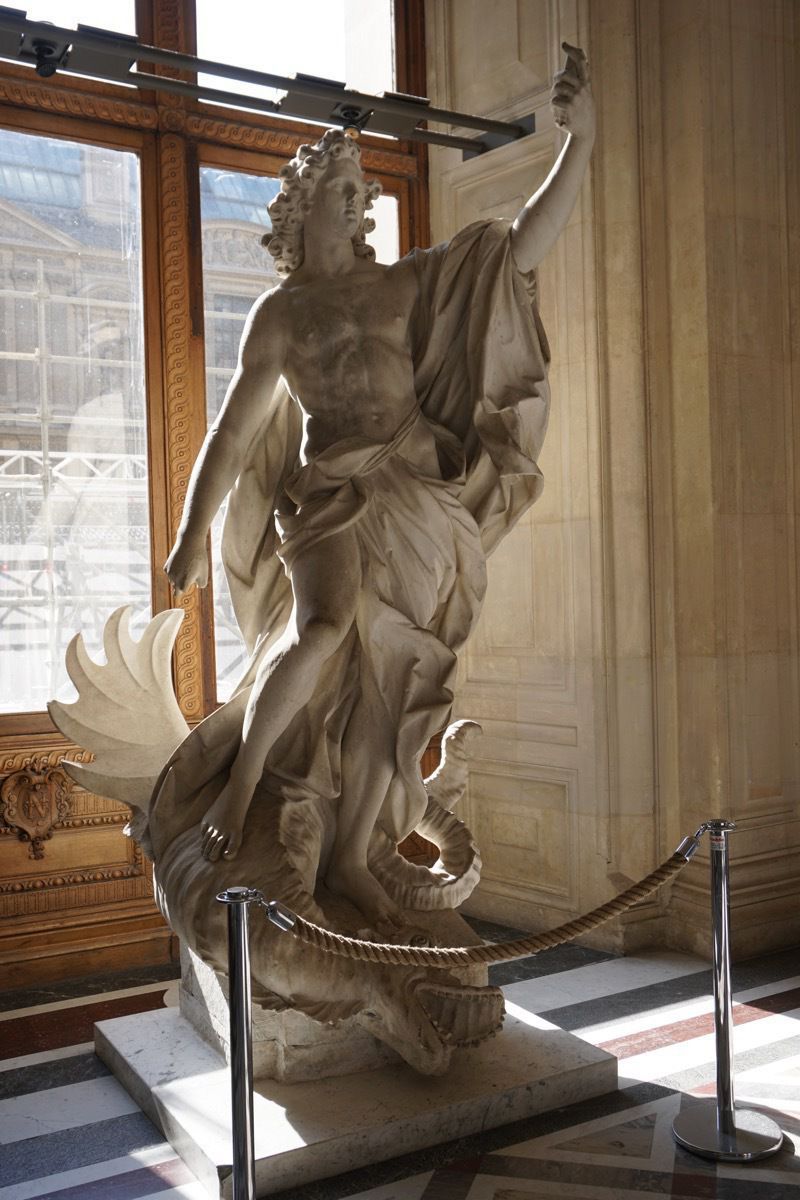
The first “selfie” created when his sword broke off!
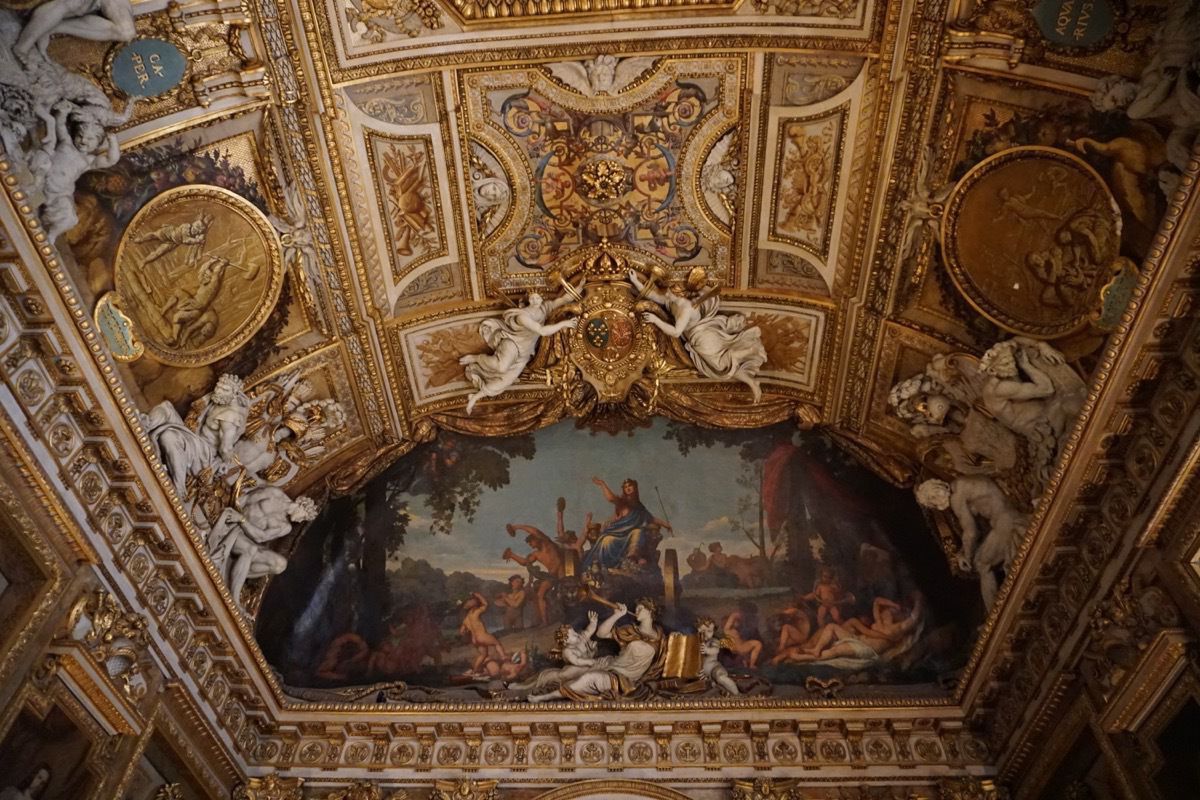
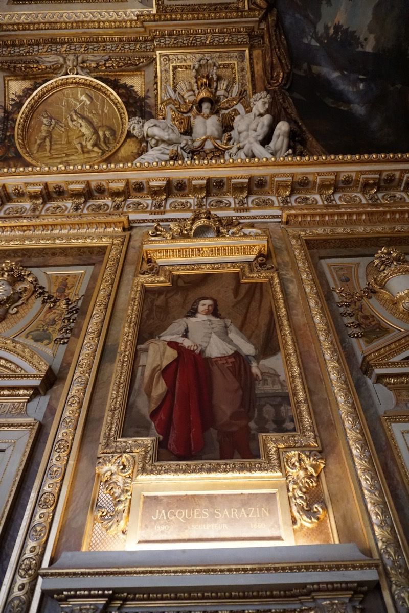
The ceiling, walls and floors of the Louvre are just as magnificent as the artwork within.
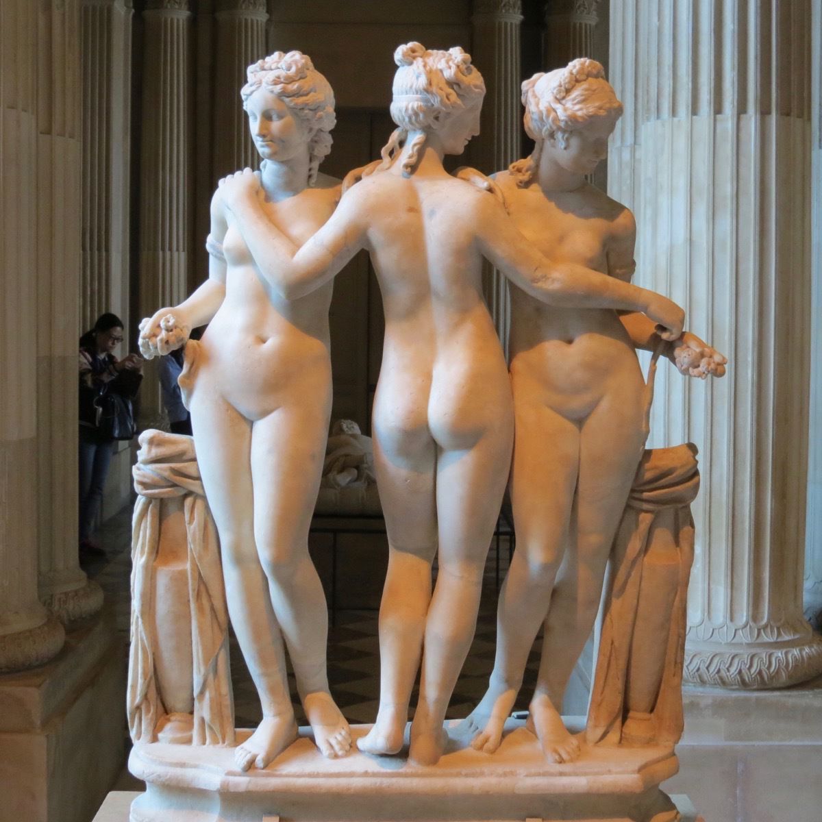
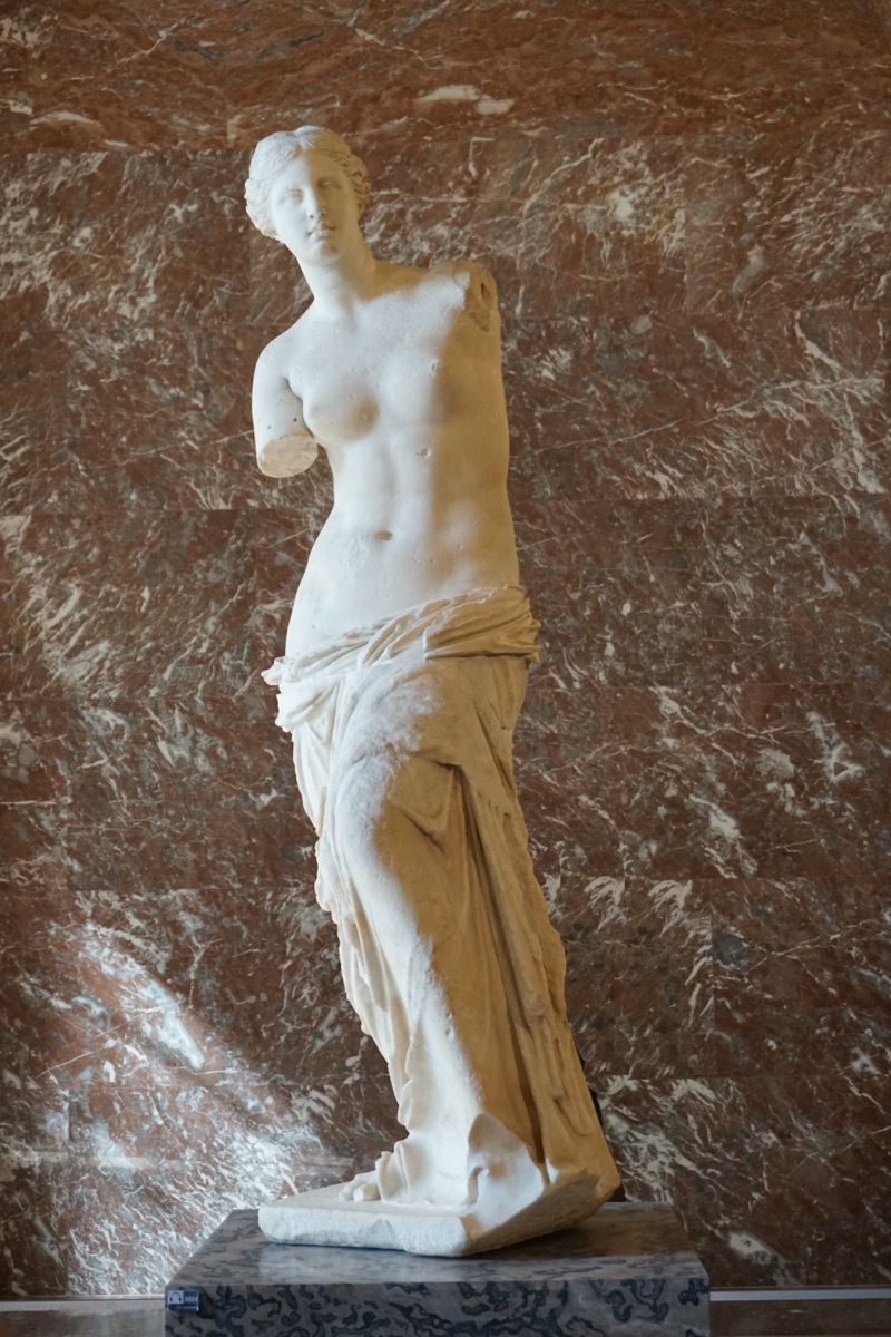
Venus de Milo
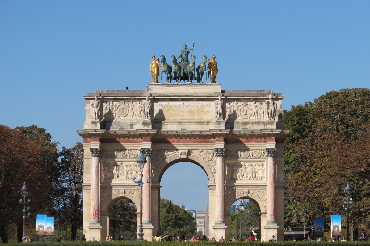
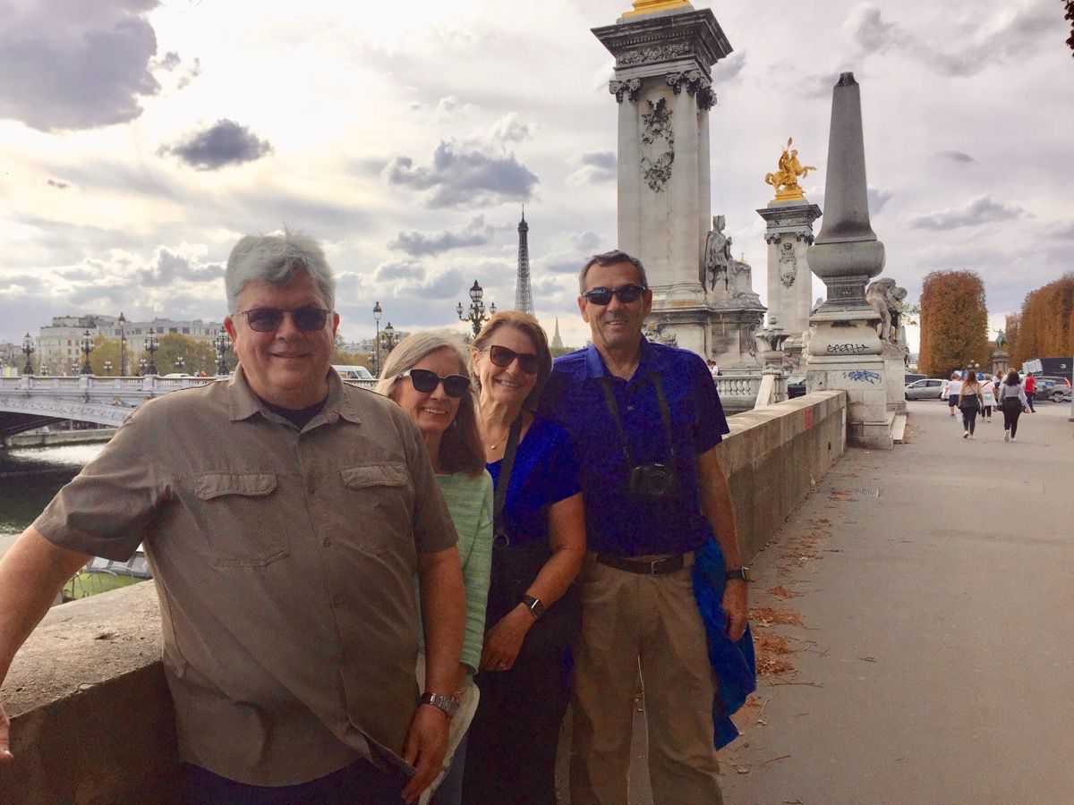
Look very closely…the Eiffel Tower is right above my head!
It was a three hour bus ride back to the ship and when we got back to the port at L’Havre, it was raining really hard. This was no covered entry from the terminal to the ship so the ship’s staff was standing in a long line with big umbrellas to keep us dry and welcome us back. As we got back on the ship a crew member was welcoming us with warmed, moist clothes to wipe our hands and face—such a nice treat!
-
Bruges, Belgium
Today is Tom’s 69th birthday and we docked in Zeebrugge, Belgium this morning.
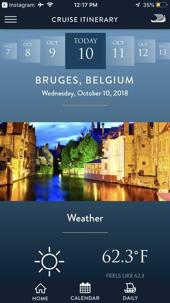
Since we didn’t know better, we took the tour that was included in our day at the port and it ended up being a huge disappointment . We did take a bus tour through the small, beautiful town of Damme and past the town of Bruges, a city dating back to the 9th and 10th centuries.
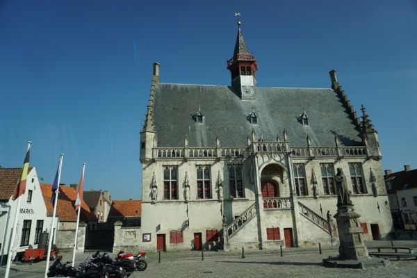
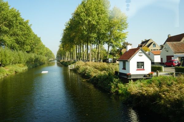
This is the canal that runs through Flanders. People ice skate down this canal in the winter and there are beer, wine, hot chocolate, and food vendors all along the way.
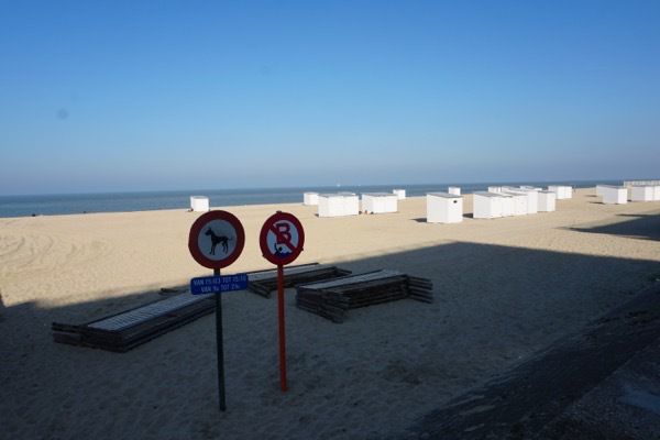
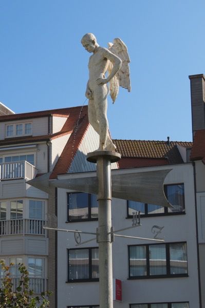
Our destination for the day was Knokke, the seaside location of the rich, and at the time of year when we arrived, the beach was closing down for the season. In addition to all the name-brand high end shops and the beach, their other claim to fame was the pink water in the fountain in front to the tourist center.
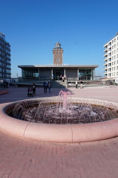
We wanted to get some Euros, so we went to two different banks to get some. That’s when we realized that our bank hadn’t activated our debit cards for foreign travel. Amazingly enough, both banks told us they no longer had actual currency inside the bank. There is no such position as a teller over there. All transactions are done though the ATM machines. An email to our bank solved our dilemma for cash a few days later—and we really didn’t NEED any cash at the time, so all was well.
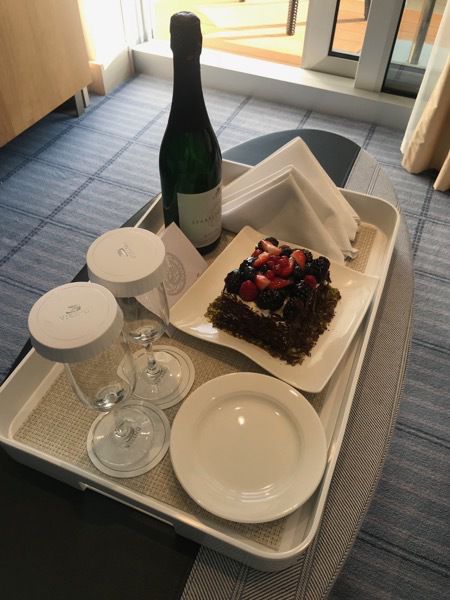
When we got back on our ship, a birthday cake and bottle of wine was waiting for us in our room to celebrate Tom’s birthday. I liked the fruit on top and Tom liked the chocolate cake underneath, so we the gesture was appreciated.
-
Amsterdam
It was a beautiful day when we docked in Amsterdam. From the ship we boarded a canal boat and were given a tour of the canals through this city of 850,000. The city is built on timber pilings like Venice, but most of the buildings have sidewalks and roads between them and the canal. Bicycles are definitely the prevalent form of transportation, although the street were very crowded with automobiles also. Parking is a huge problem—even for bicyclists ! Beside the central train tunnel there is a three story garage just for bicycles, plus underground parking at other locations.
Our tour guide explained that there are no school buses in Amsterdam. Parents or students provide the transportation, usually by bicycle. In fact, she told us the high school students often bicycle 7 or 8 miles to school!
The homes have a very narrow footprint because the people were taxed on the ground square footage. Instead, they are usually three or four stories tall. Often there is a store on the first floor and the people live on the floors above. The staircases are very steep and narrow which is why there are hoists on the top of each house so furniture can be lifted up and brought in through the windows. While we were floating past we saw a huge latter with a mechanical platform that lifted the furniture up to the 2nd and 3rd stories, a modern day addition.
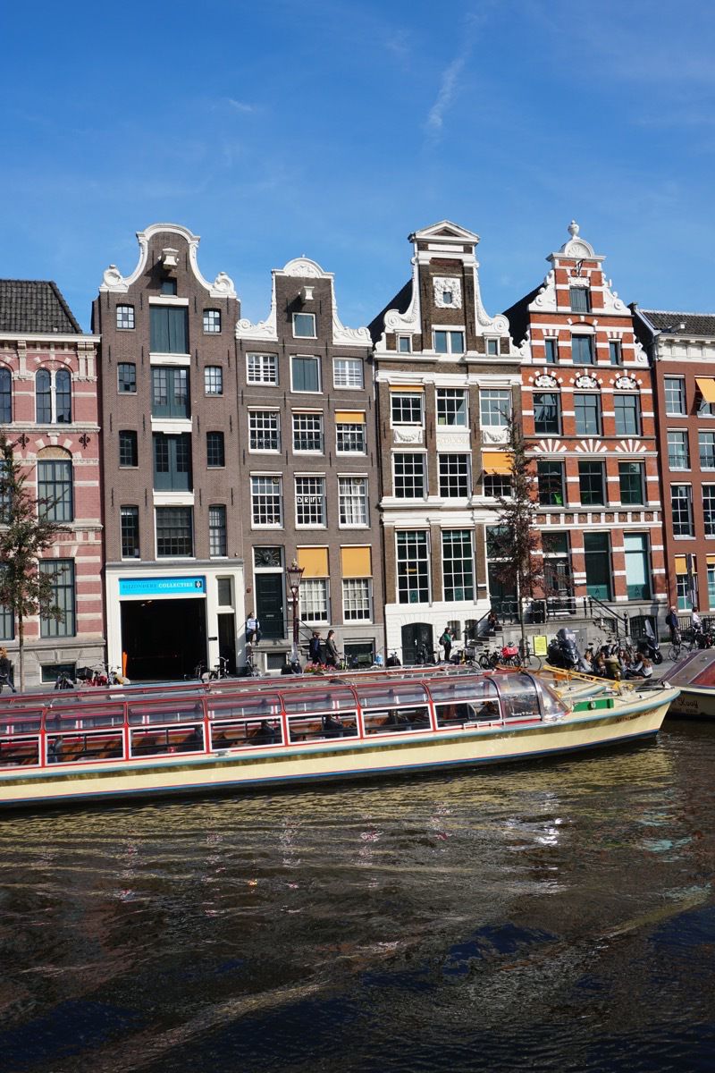
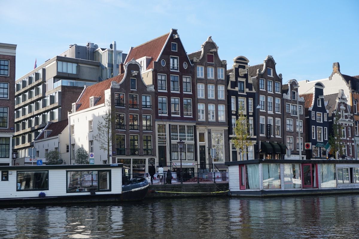
The owners are the houseboats lease the dock area where they are parked and own it for life. However; no new leases are being issued. Also, the sewage from the houseboats is not attached to the city sewer which was not always the case. The canal water is much cleaner now.
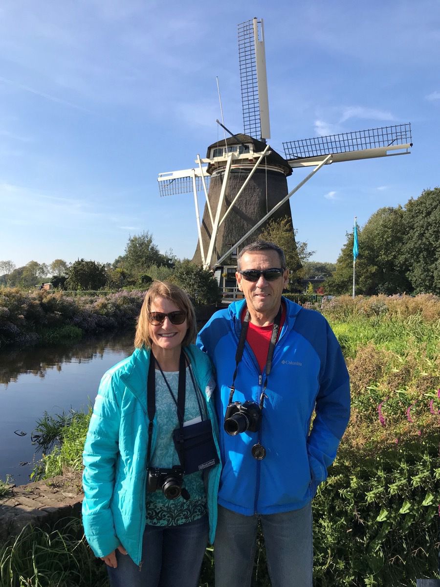
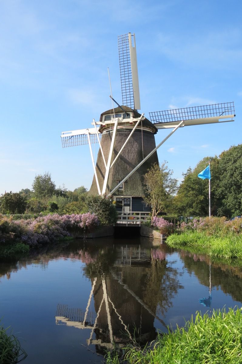
After the canal boat ride we were taken on a bus ride through the city and stopped at this windmill for a photo opportunity. This is a private residence which is currently occupied.
After the boat and bus tours we came back to the ship and ate lunch. After lunch we walked seven miles to the Ruks and Rembrandt Museums and then back to the ship.
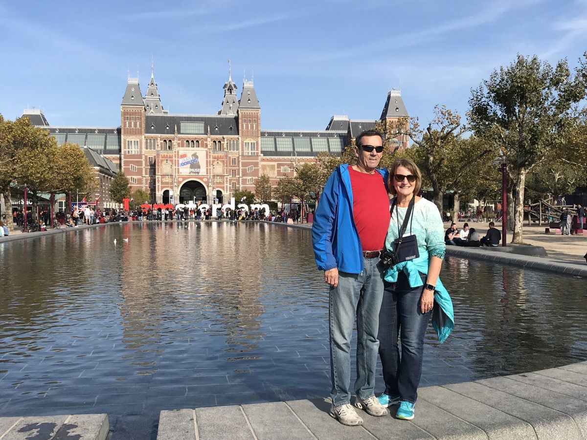
It was very crowded at the Ruksmuseum. People were climbing and planking all over the “I am Amsterdam” in the background.
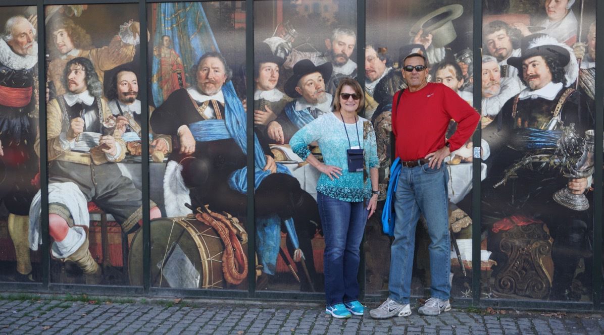
The Rembrandt Museum
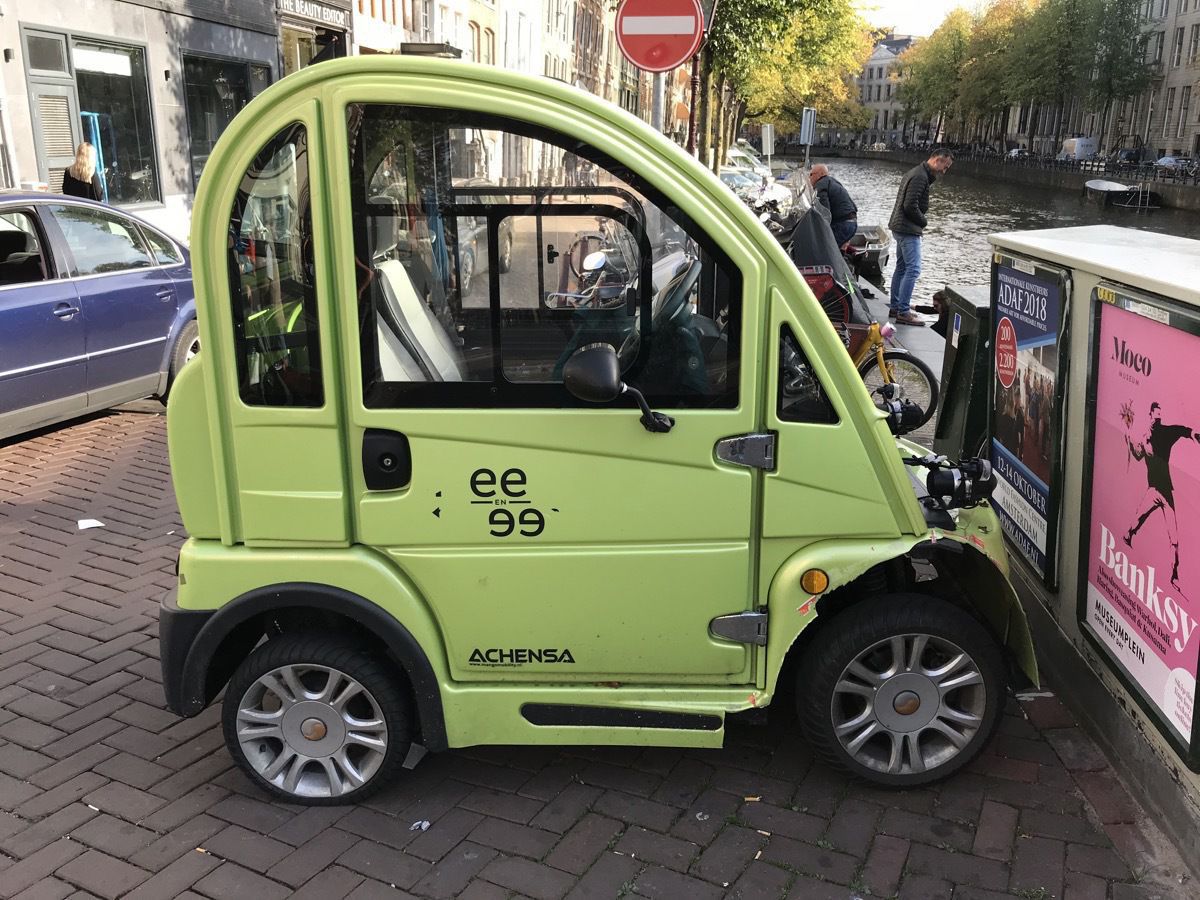
These cars make Smart cars look huge! There are two seats in here, but you’d have to be two slim people to ride side by side!
-
Houston to Bergen, Norway
And we’re off! We left Lake Charles at 9:15 am and drove to Houston. We arrived at the airport at the same time Dan and Brenda got there, so we checked in together and then had a couple hours to kill before we boarded our plane. We had a 9 hr 10 minute flight to Amsterdam and then had a FIVE hour layover before flying to our final destination of Bergen, Norway. We were met at the airport by the Viking guides and taken by bus to the ship. It was a very smooth checkin—no line at all. We immediately boarded the ship and by the time we got to our room, our luggage was also there.
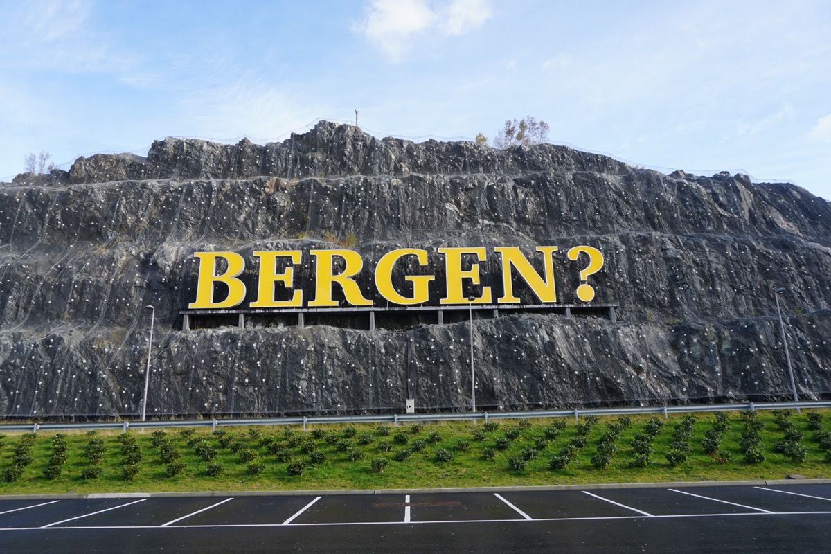
The sign on the mountain outside of the airport.
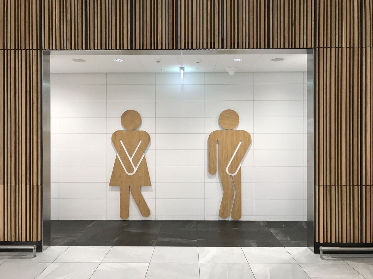
Apparently we were aren’t the only ones needing to go to the bathroom at the airport!
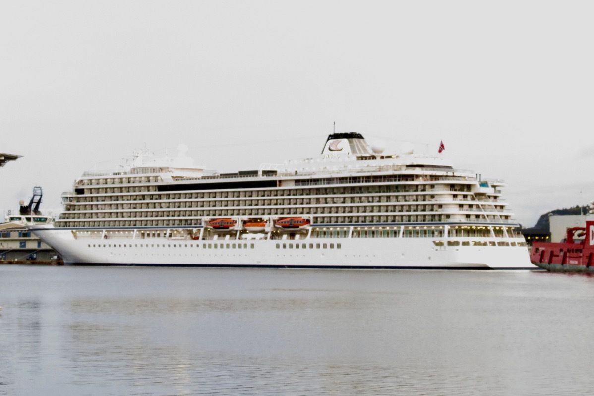
Our home for the next two weeks- Viking Sun
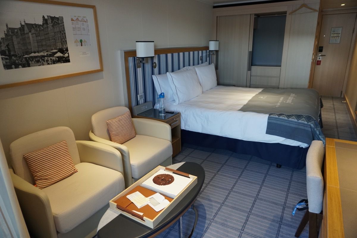
Our room onboard the Viking Sun cruise ship- #4091
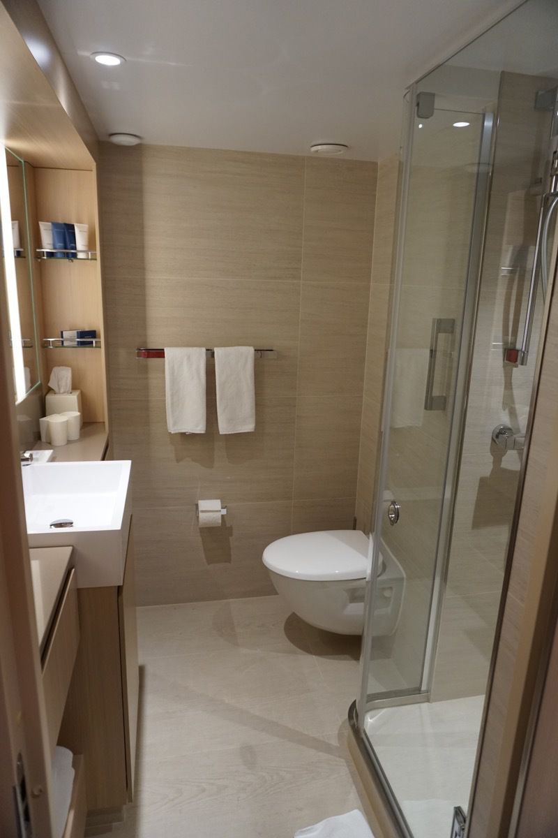
Our bathroom wasn’t shabby either.
Day 2 - Bergen, Norway
We started the day with a bus tour of the city where the guide pointed out the key areas of interest.
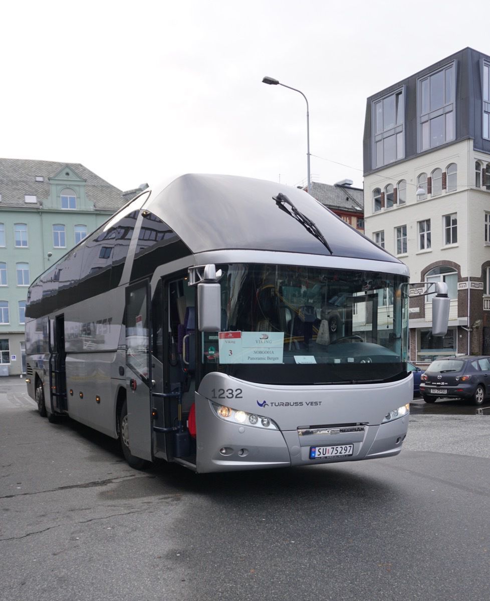
Check out our aerodynamic tour bus!
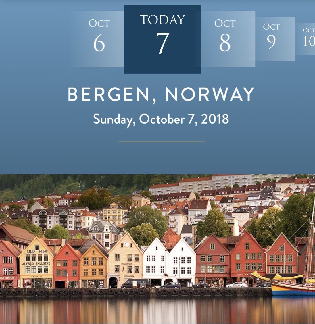
Picture from our Viking App of the picturesque Bryggen, the old wharf of Bergen, which is a reminder of the town’s importance as part of the Hanseatic League’s trading empire from the 14th to the mid-16th century.
Paint colors on houses:
On the tour today we were told that Norwegian houses were traditionally painted a strong red, yellow, or white.
Because the red color was the cheapest to produce, the poorer families houses were painted that color. As a result, many buildings in farming lands or fishing areas where incomes were lower than average were mostly paint in red. This is why so many barns in the country side were traditionally painted red.
The yellow colour was a little more expensive than red and was also created by mixing ochre with cod liver oil.
White was the most luxurious of colours since it was the most expensive. In the old days the mineral zinc was needed to create white paint which was very expensive.
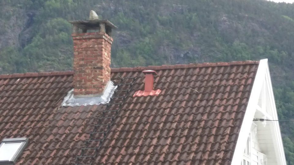
Stones on Chimneys
The Norwegian culture is filled with stories of Trolls. Most of the homes in Bergen have rocks on top of the chimneys to prevent Trolls from destroying their homes. As the tour guide said, “ none of these homes have been destroyed by trolls, so the rock must work!"
Fløibanen Funicular
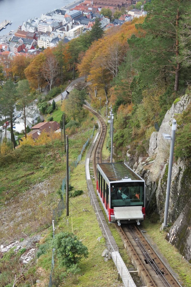
The Fløibanen Funicular goes up Fløyen Mountain for panoramic views and hiking trails.
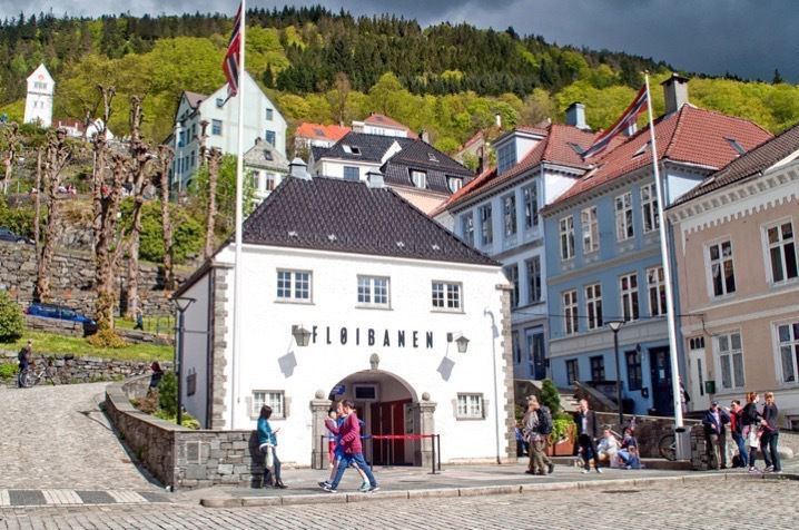 The start of the Fløibanen funicular railway
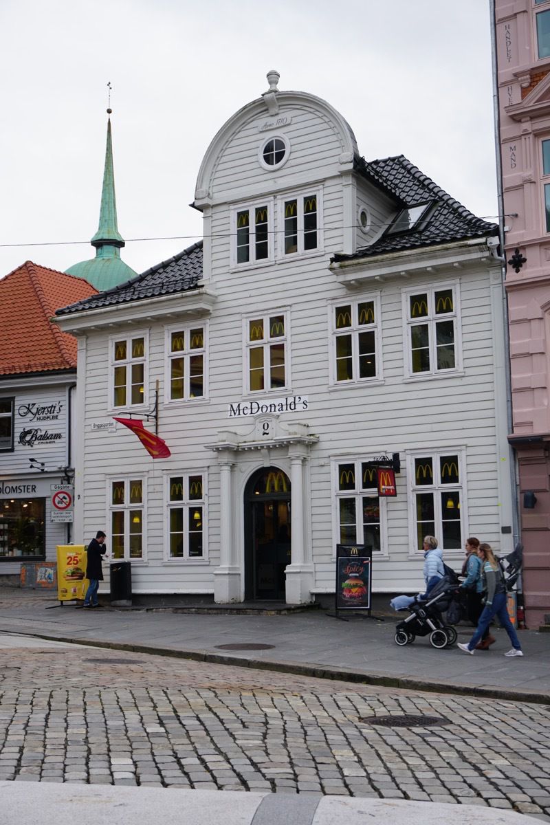
This is the town’s McDonald’s. No Golden Arches allowed, but they do allow a flag with the golden arch and the famous arches painted on the windows. This building was built in 1710.
-
Days 87 to 90 - Denver and driving to Kansas
Friday, August 24th
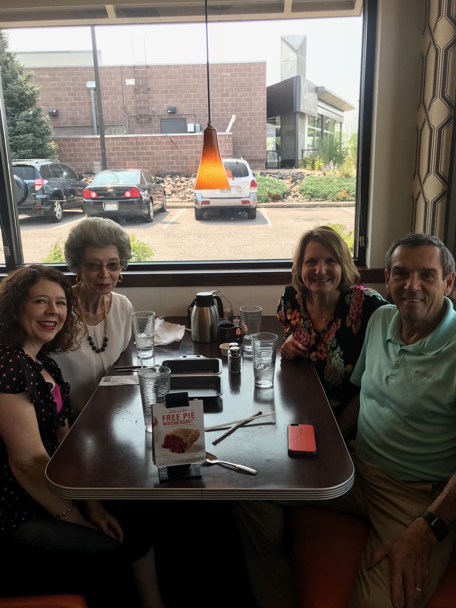
We met long time Lake Charles friends Celina and Marion Perry who now live in Denver at the Village Inn for a late brunch and a great visit.
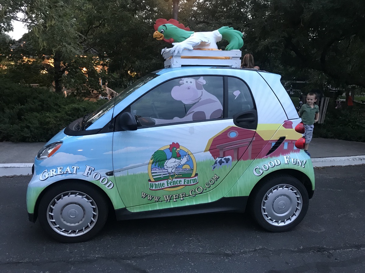
By the time we got back from eating, Darien and Licia were up. They didn’t get home from Hawaii until 2;00AM. We spent the afternoon visiting and then walked to the White Fence Farm, where we’ve eaten together for the last three years when we’ve visited. After dinner we walked to Millie’s Ice Cream Parlor for some dessert. We walked almost four miles roundtrip so we burned at least a few of the calories from
Saturday, August 25
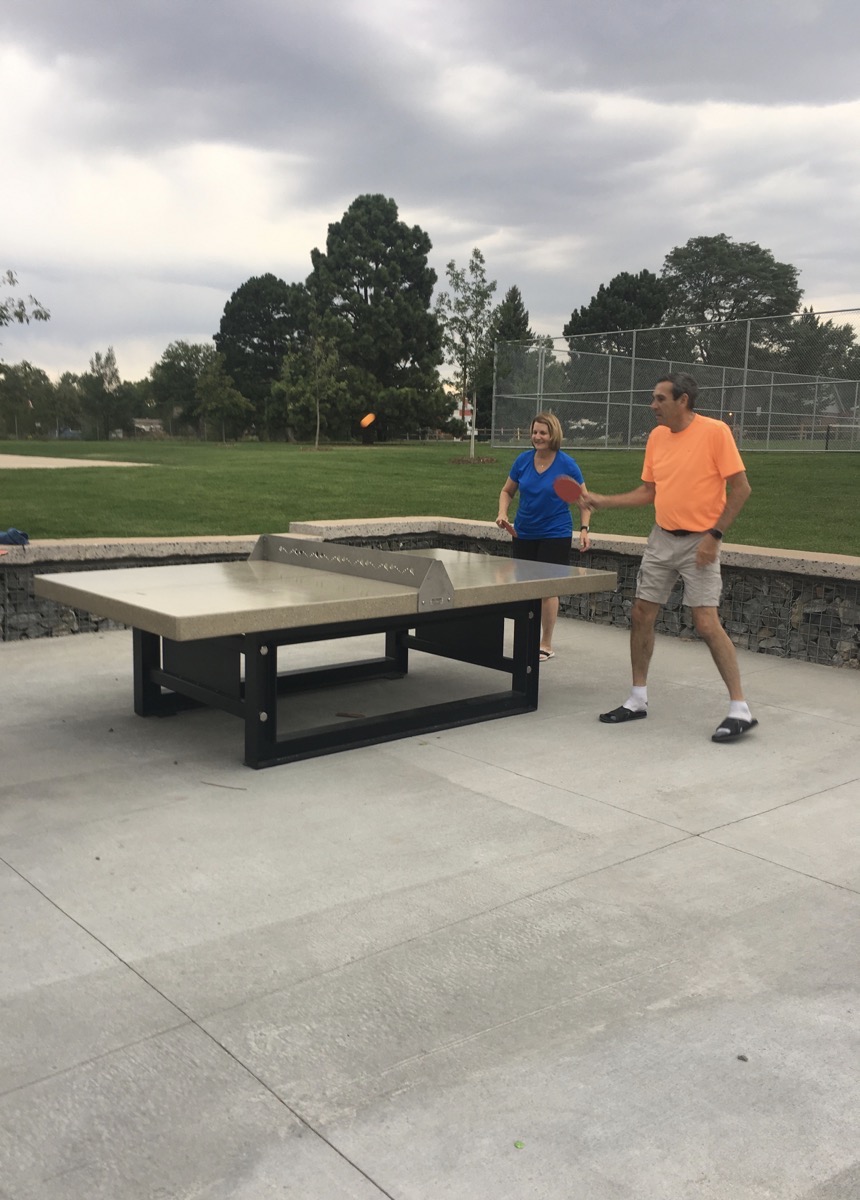
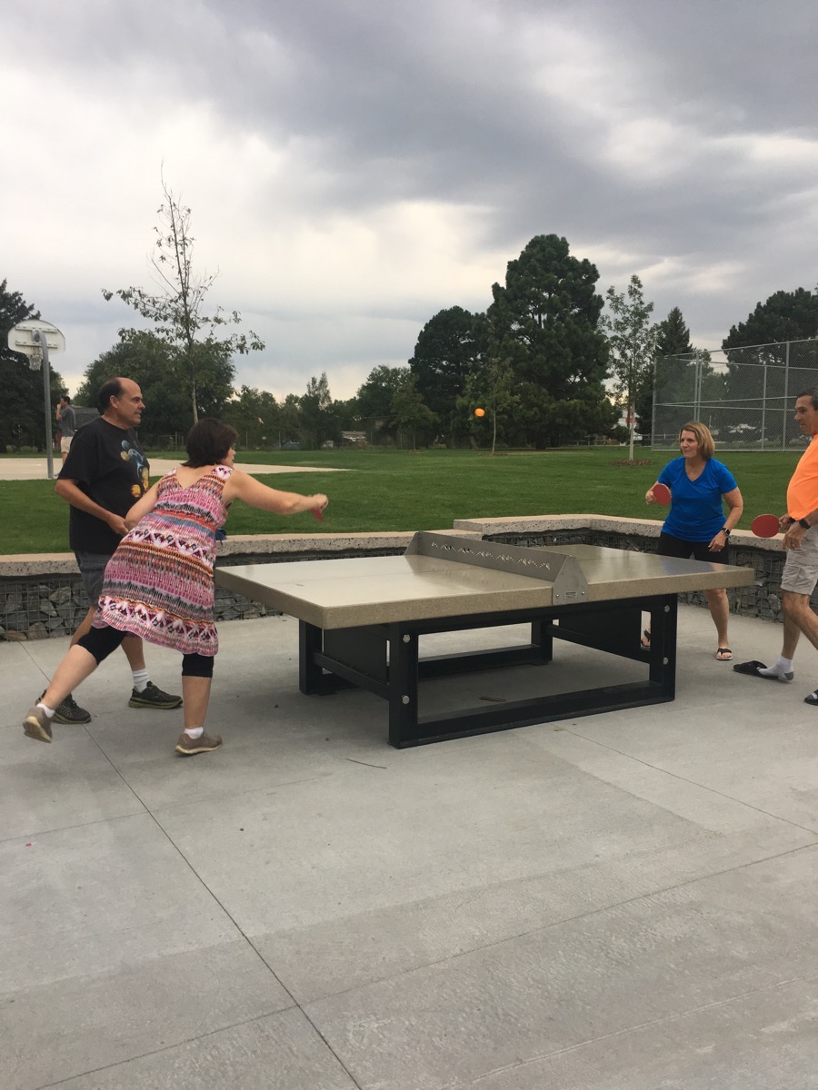
This morning we walked to the new park near Darien and Licia’s house and played ping pong on the new outside ping pong table. We did it again after dinner. The new park was so nice and the outside ping pong table was great. It was made from concrete, but the top was very smooth and the net was metal. The ball bounced just like it does on a regular table. This would be a great addition to our subdivision—except we’d have to use it in the winter because we’d be ringing wet if we tried to use it in the summer.
in the afternoon Felicia and I went to see the musical Waistwatchers which was funny, but a little too long.

Sunday, August 26
We played seven more games of ping pong at the park before hooking up the car and starting our trip east. We drove to Hays, Kansas before stopping for the night at 7:15 pm at the Walmart parking lot. I will say that it was much more exciting driving north that it is heading back across the flat, hot plains.
Trip Statistics:
- We drove 345 miles today in the RV and are now at 12,261 miles so far on this trip.
- We bought gas for $2.649 a gallon and now have spent a total of $4,173.75
- Campground cost is $2668.16 for an average of 29.65 per night.
-
Days 85 and 86 - Estes Park and Rocky Mountain National Park
Rocky Mountain National Park
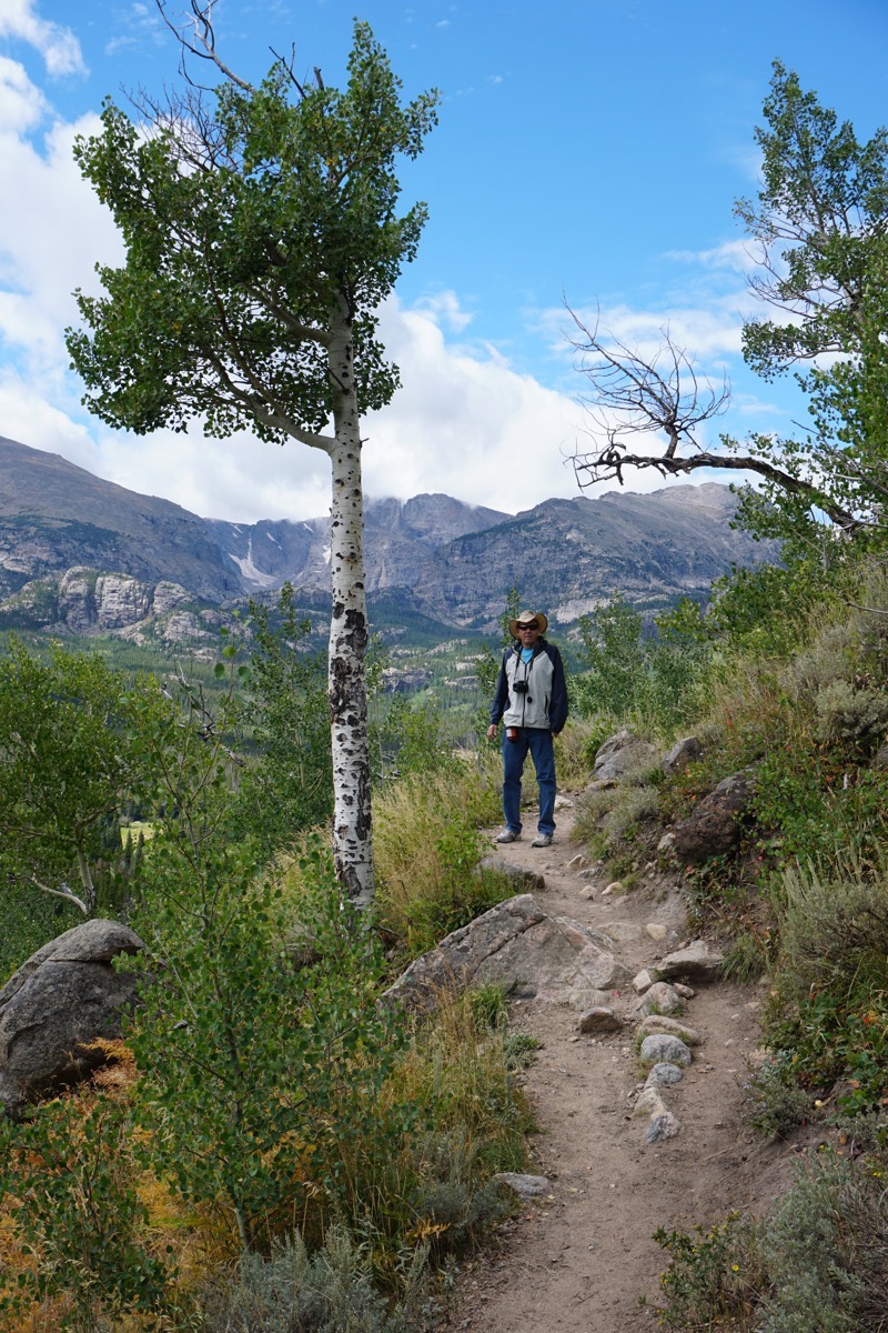
Today when we drove into Rocky Mountain National Park there was a sign that said the parking lot at Bear Creek was full, so we needed to park at the Park and Ride and ride the park shuttle bus. The bus dropped us off at the Berstadt Lake Trailhead and we hiked to Berstadt Lake at an elevation gain of almost 1000 ‘ and then hiked from there to Bear Lake.
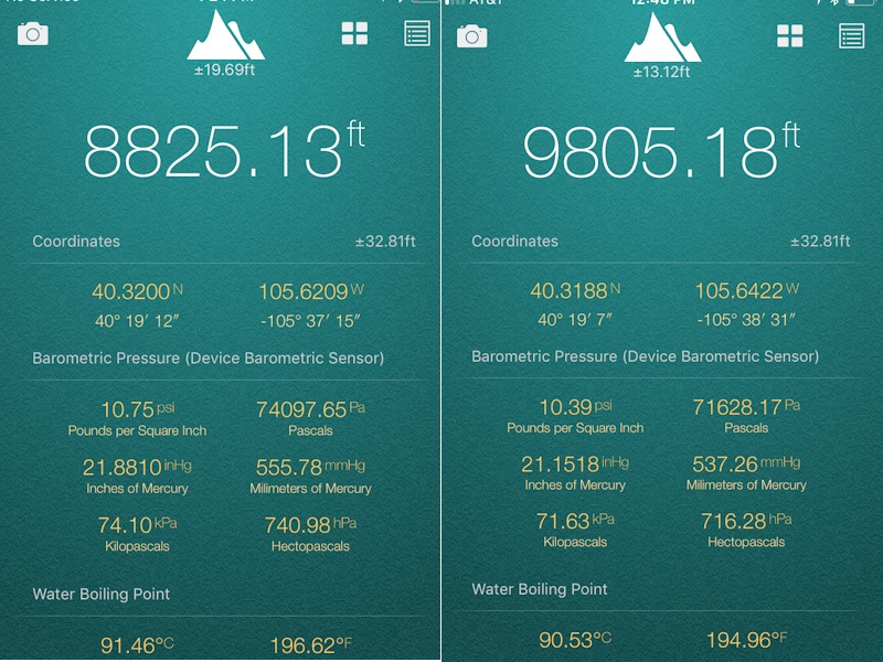
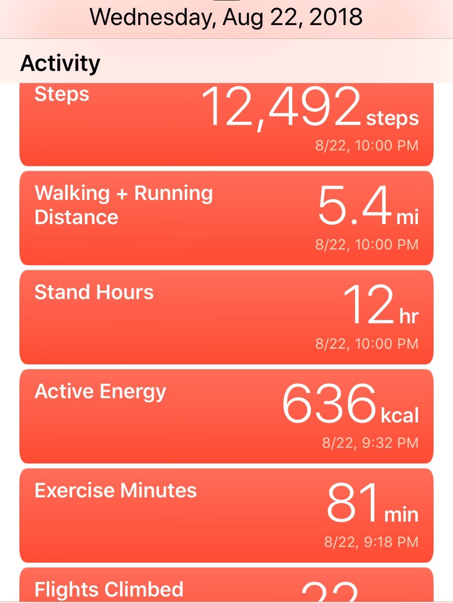
We got plenty of exercise today!
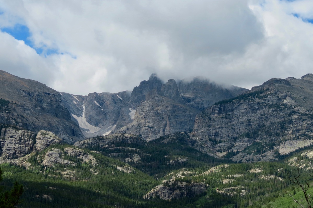
Our view as we ascended the trail.
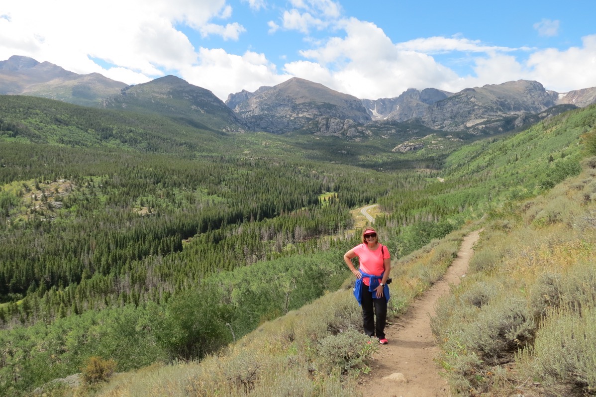
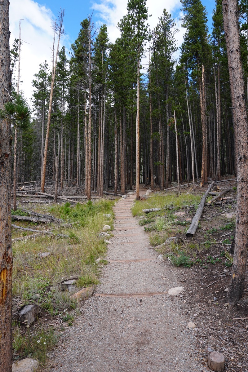
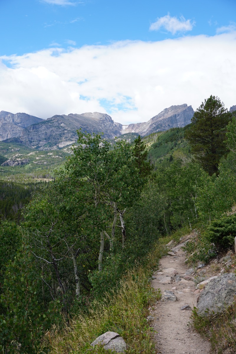
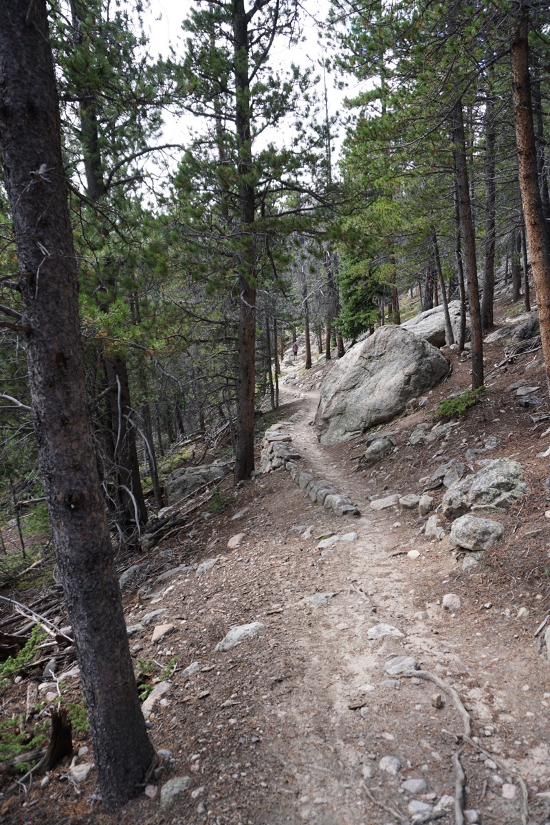
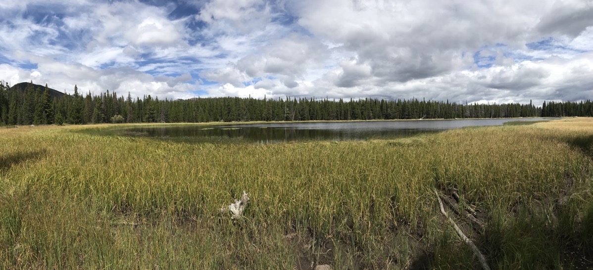
Berstadt Lake - our original destination. Once we got there we decided to hike on to Bear Lake.
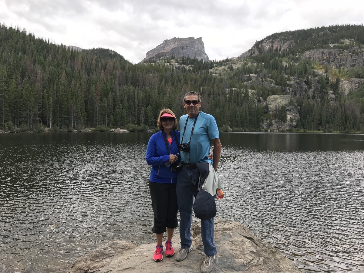
Posing on the rock at Bear Lake.
After we got back to the RV and took a nap, we went down to Bob and Donna Cooper’s RV and played bridge in the late afternoon. They made some delicious jambayla and we had a nice dinner together.
August 23- Estes Park
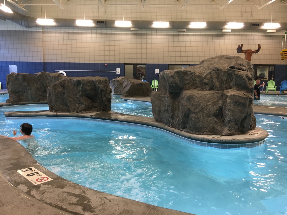
This morning we got up and went to the Estes Park Community Center with Bob and Donna. First we toured the fantastic facility and then we put on our bathing suits and went swimming. The facility had a inside lazy river, a child’s water play area, a lap pool, and tube slide and an outside jacuzzi. Since we were there for the adult swim time, we walked the opposite direction of the current in the lazy river. Then I swam laps in the lap pool. We went outside and enjoyed the jacuzzi before sliding down the tube slide a few times. Fantastic facility!
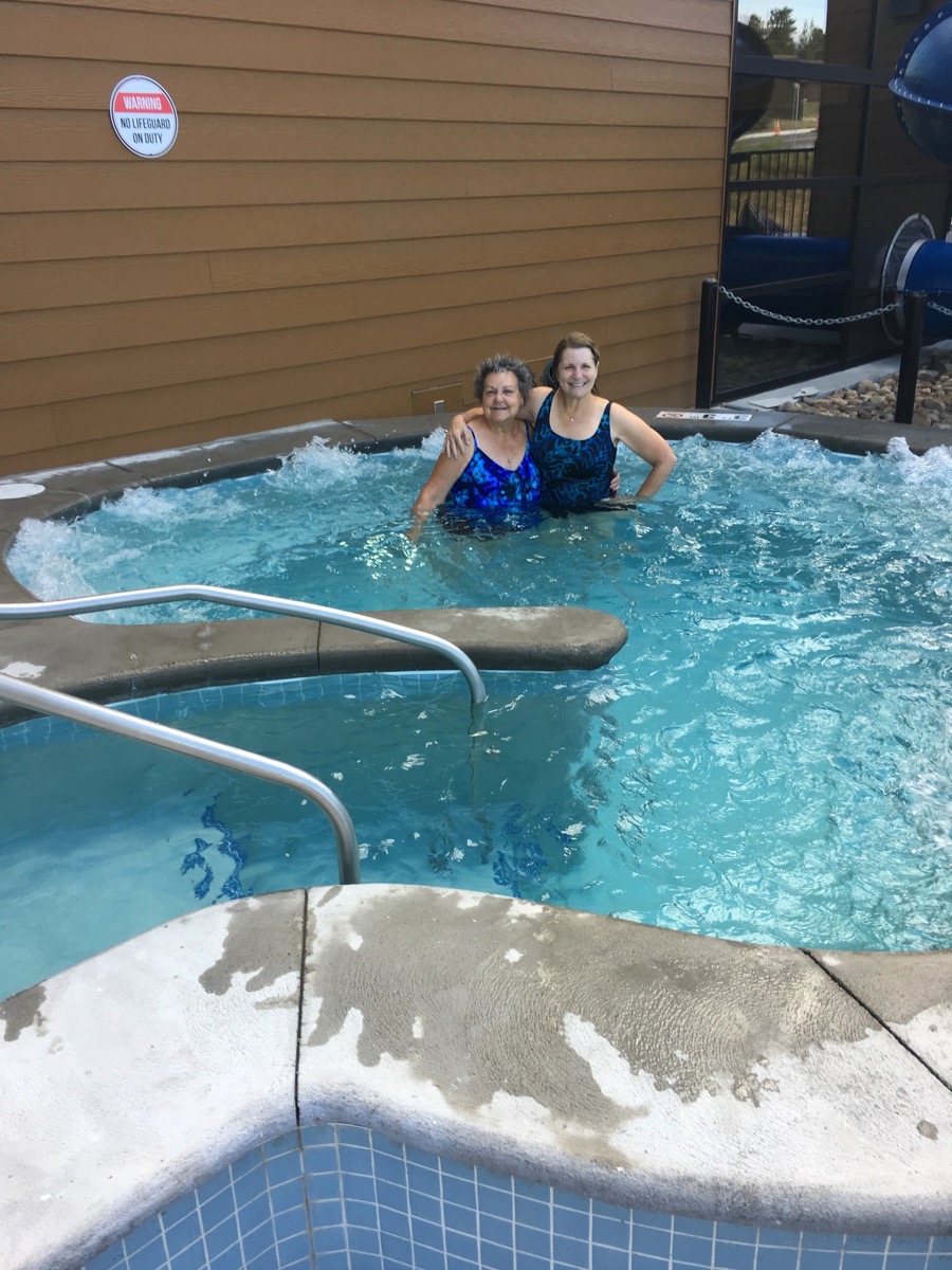 Donna and I in the outside jacuzzi.
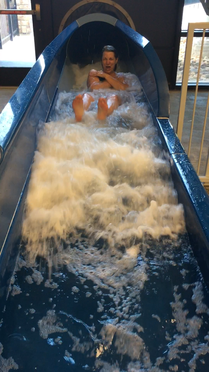
After the swim we went to the Egg and I and had a delicious breakfast before driving to Denver.
Denver, Colorado
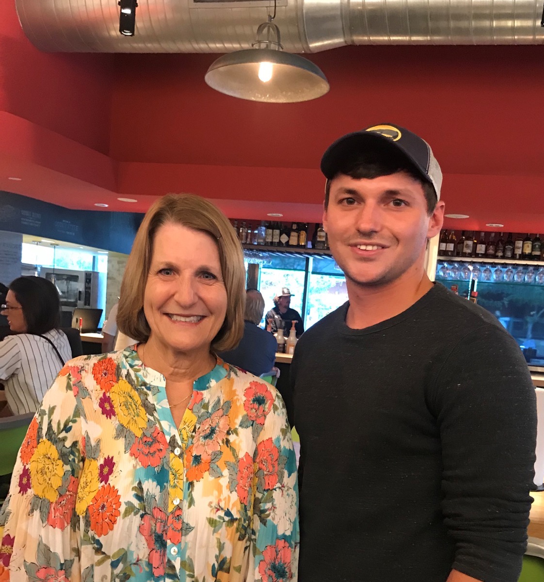
We drove from Estes Park to Lakewood, Colorado where we stayed with Darien and Licia. Darien installed a full RV hook up in driveway, so we stayed in the RV with full electricity, water and sewer. They weren’t back from their trip to Hawaii, so we contacted my former intern Walter and took him and his girlfriend Taylor to dinner at Hopdobby’s in downtown Denver near Walter’s office. Tom said it was the best burger he’s had!
Trip Statistics :
- We drove the RV 70 miles and the CRV 24 miles. Our total trip mileage is 11,915.
- We’ve spent $4,120.25 on gas so far.
- We’ve spent $2668.16 on campgrounds, or an average of $30.67 a night.
-
Days 83 and 84 -Estes Park, Colorado
Estes Park, CO
We arrived in Estes Park in the early afternoon and set up our RV in the Manor Park RV where our friends Bob and Donna Cooper are spending the entire summer. We played bridge in the late afternoon for a few hours and then went out for dinner together. After dinner the movie RV starring Robin Williams was showing in the RV park and it was HILARIOUS! It was especially enjoyable since everyone watching it was driving motorhomes.
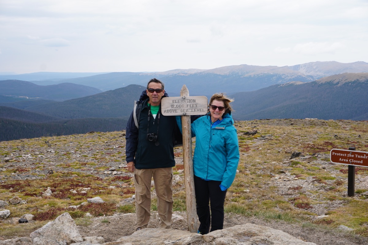
On Tuesday morning we drove into Rocky Mountain National Park and drove to the top of the Trail Ridge Road. Trail Ridge Road is the highest continuous paved road in the United States. Known appropriately as the “Highway to the Sky,” it crosses the Continental Divide at a whopping 12,183 feet.
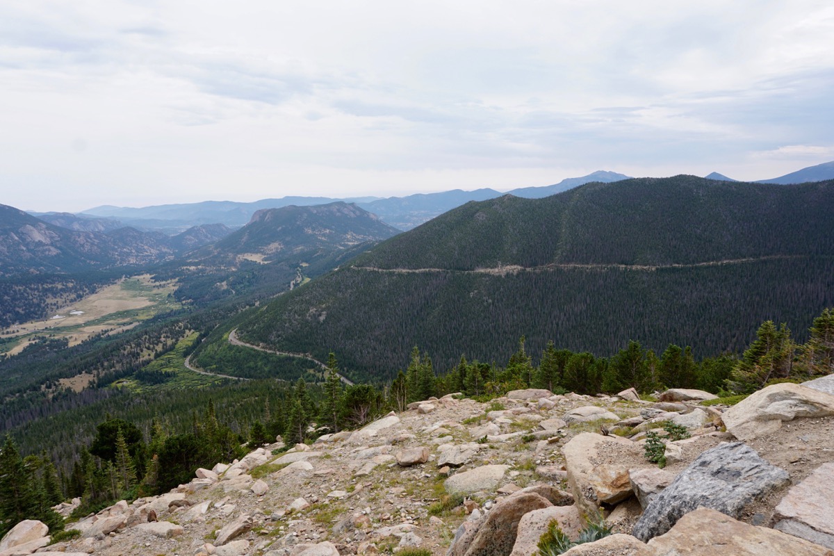
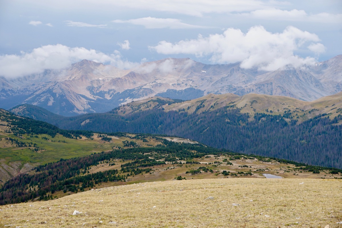
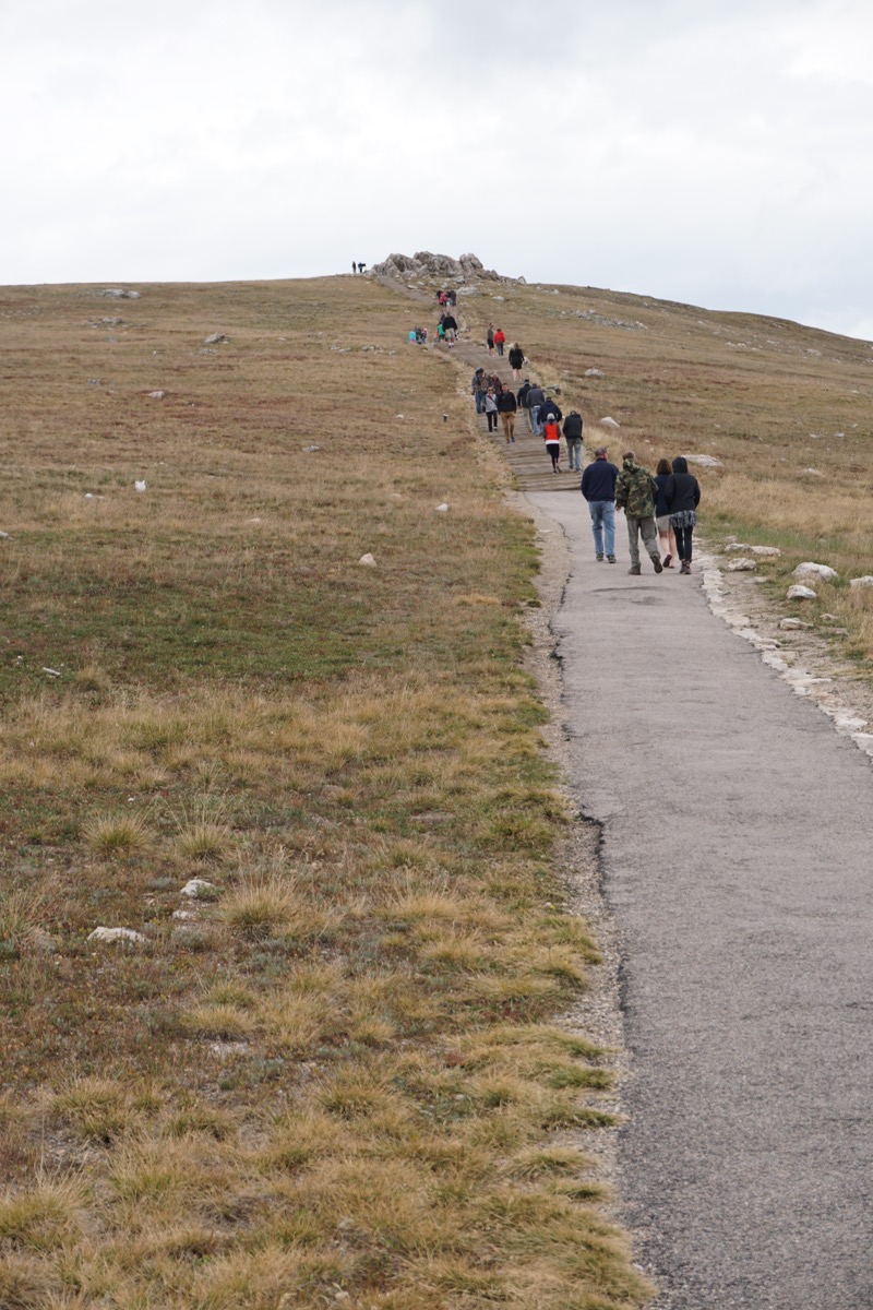
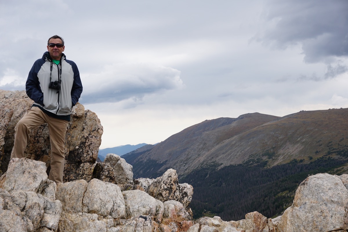
At the Alpine Visitor’s Center we walked to the very top on the Alpine Ridge Road. Although the hike is only .6 mile (roundtrip), it has an elevation gain of 209 feet. When hiking at 12,000 feet, it’s really hard for us flat landers to breathe. This trail is nicknamed “Huffers Hill.”
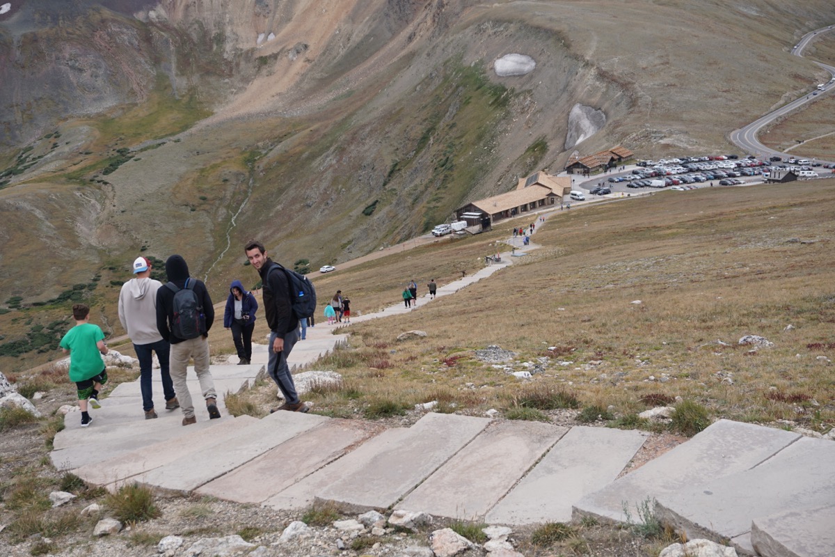
It is a paved trail with 225 stairs and, of course, what goes up must go down.
-
Day 82 - Cheyenne, Wyoming
This morning we drove from Kaycee to Cheyenne, Wyoming. Our plan was to tour the state capital only to find out that it is totally closed for remodeling. So...we decided to walk to Baskin Robbins and find some of Cheyenne's These Boots are Made for Talking 8' painted boots along the way. It started raining during our 2.5 mile walk and was 57 degrees (brrrh!), but I was determined to get pictures of some of the boots.
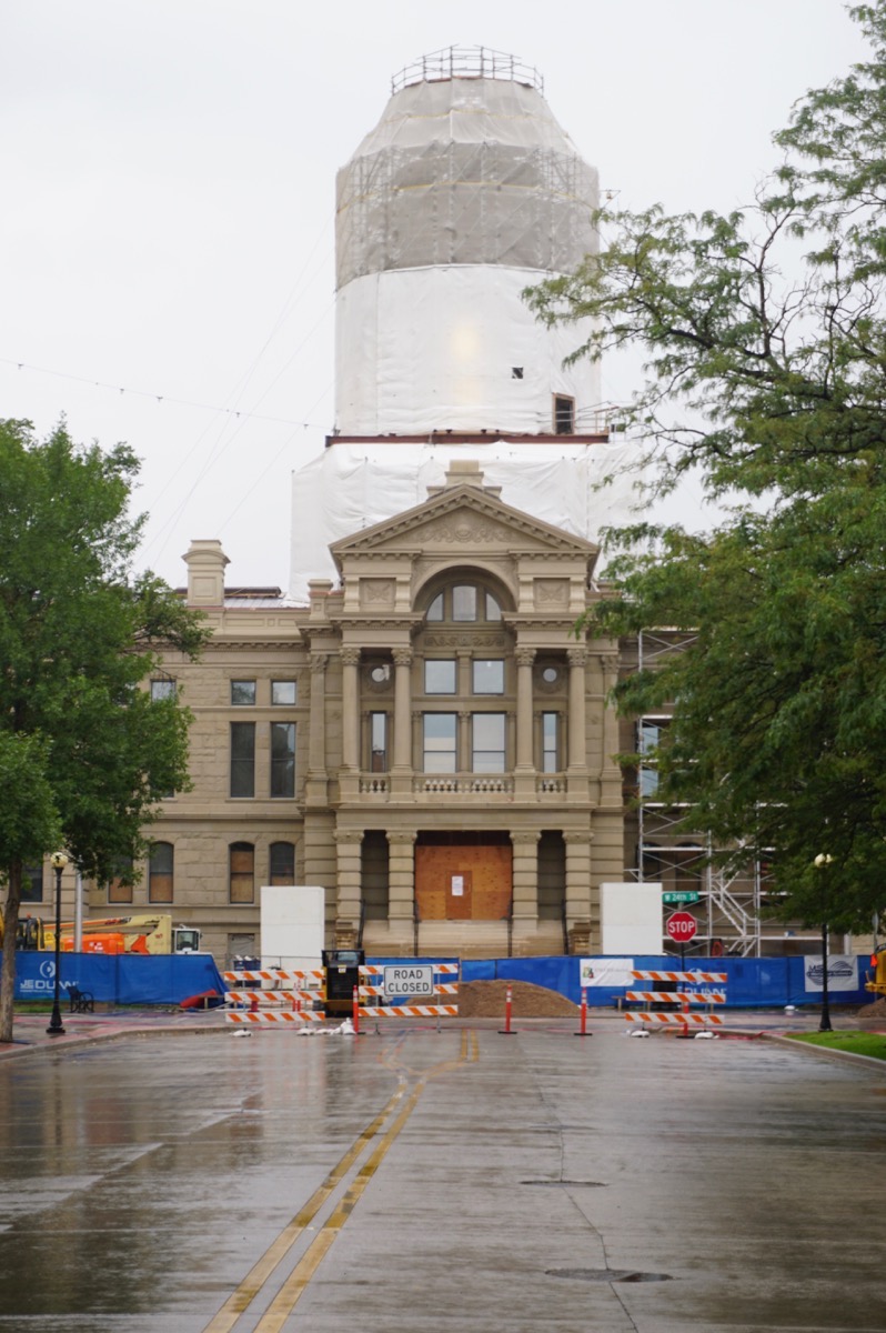
Wyoming State Capital - closed for remodeling.
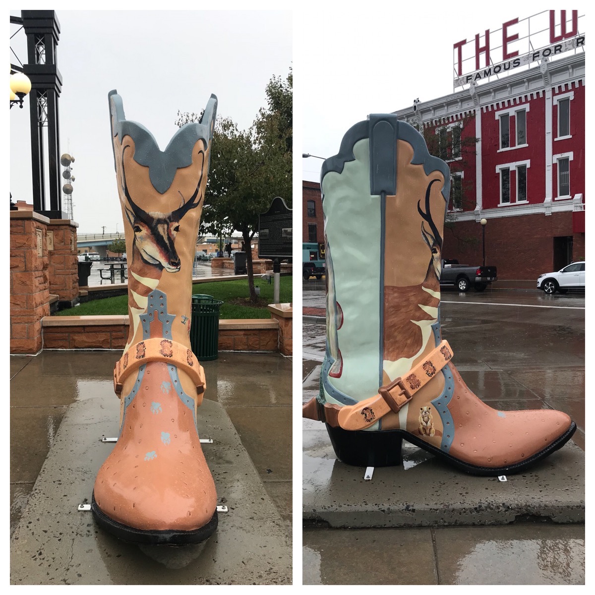
Cheyenne’s "These Boots Were Made for Talking”
These painted boots were a joint project of the Cheyenne Depot Museum Foundation and the Downtown Development Authority. The boots were sponsored by local businesses and cautioned at a fundraiser.
There are 25 boots, but we only walked in the rain long enough to photograph six of them. Each boot was painted by a local artist. The theme of the project for the artists was “If this boot could talk, what sort would it tell?” The audio tour can be accessed at 307-316-0067 to hear just what each artist had to say.
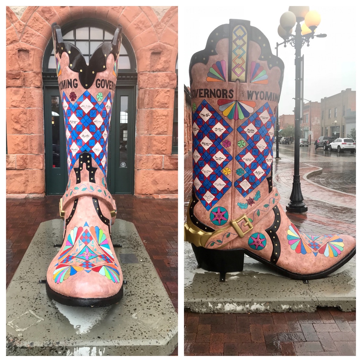
Governors of Wyoming
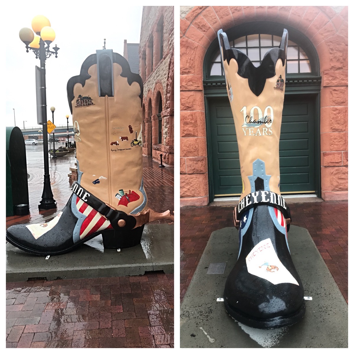
Milestones: Chamber 100th Anniversary
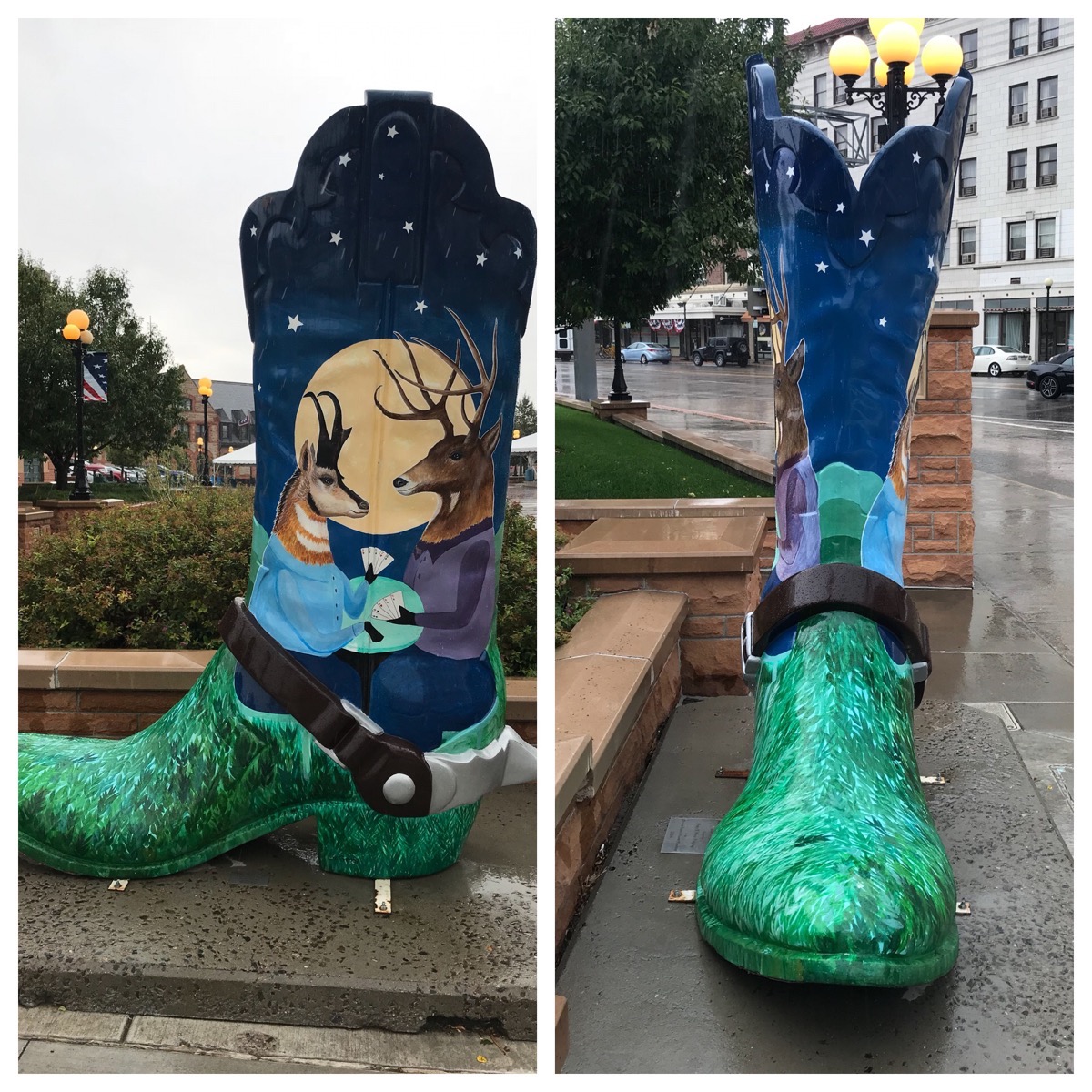
Where the Deer and the Antelope Play
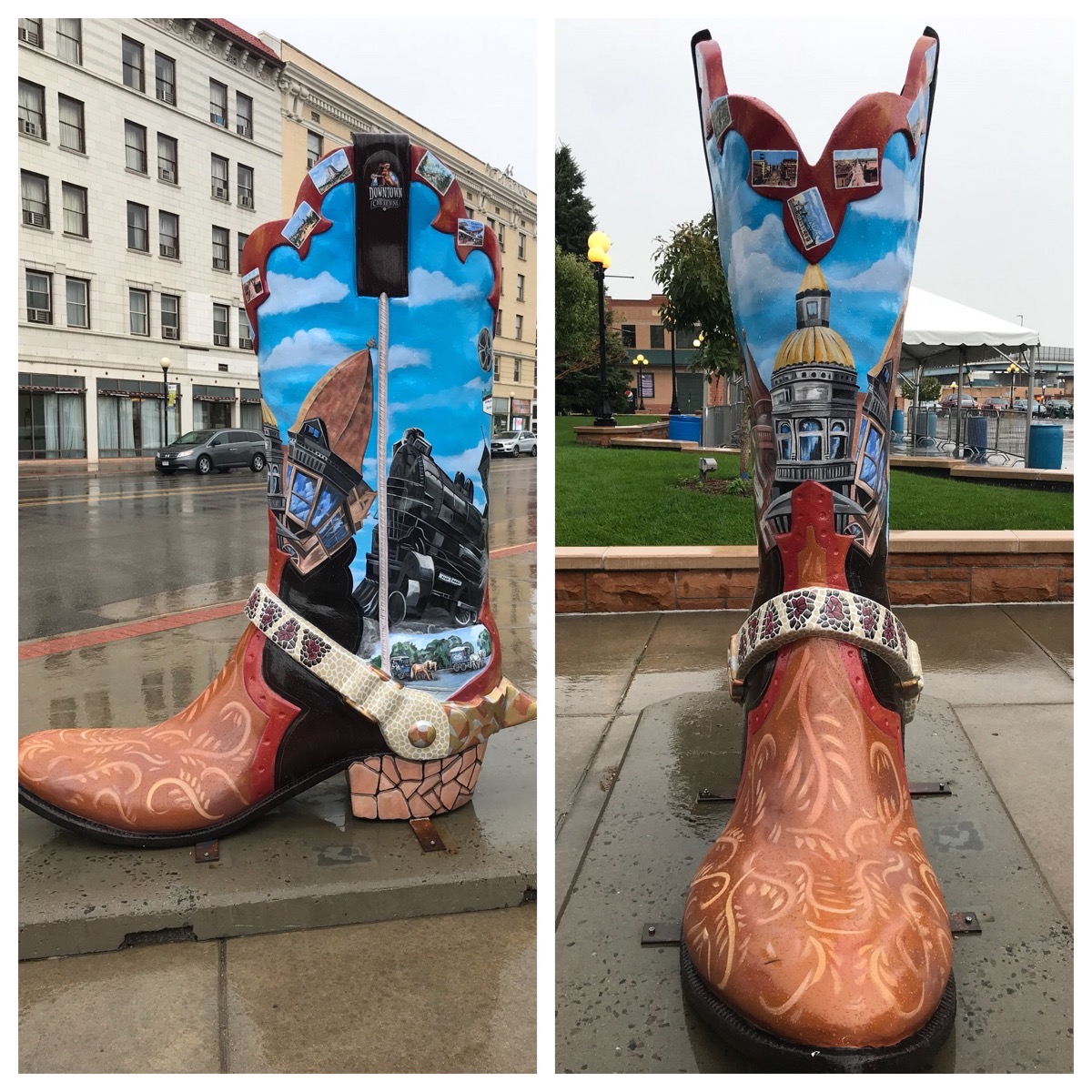
Downtown Cheyenne
Don’t Fee the Animals
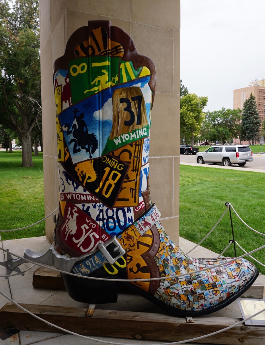
Licensed to Boot
Terry Bison Ranch
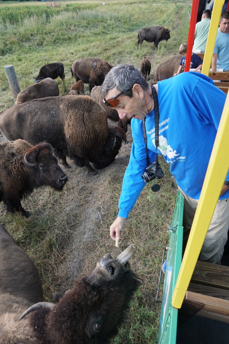
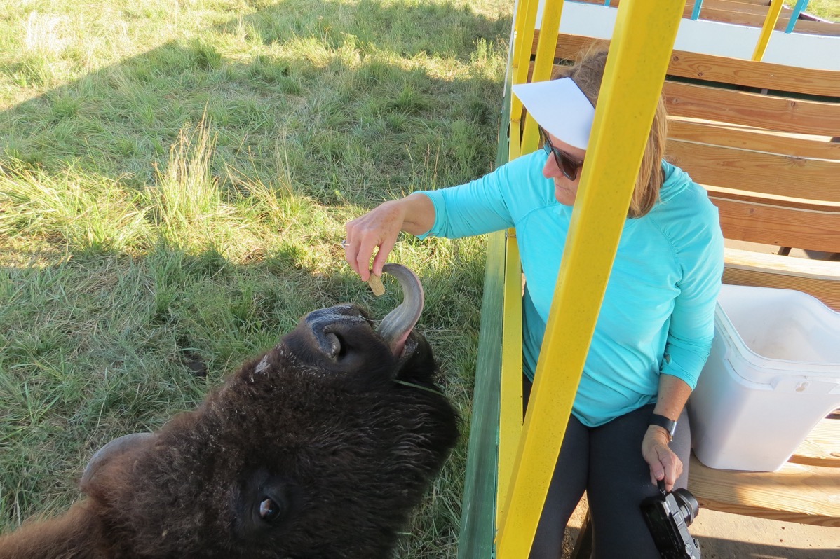
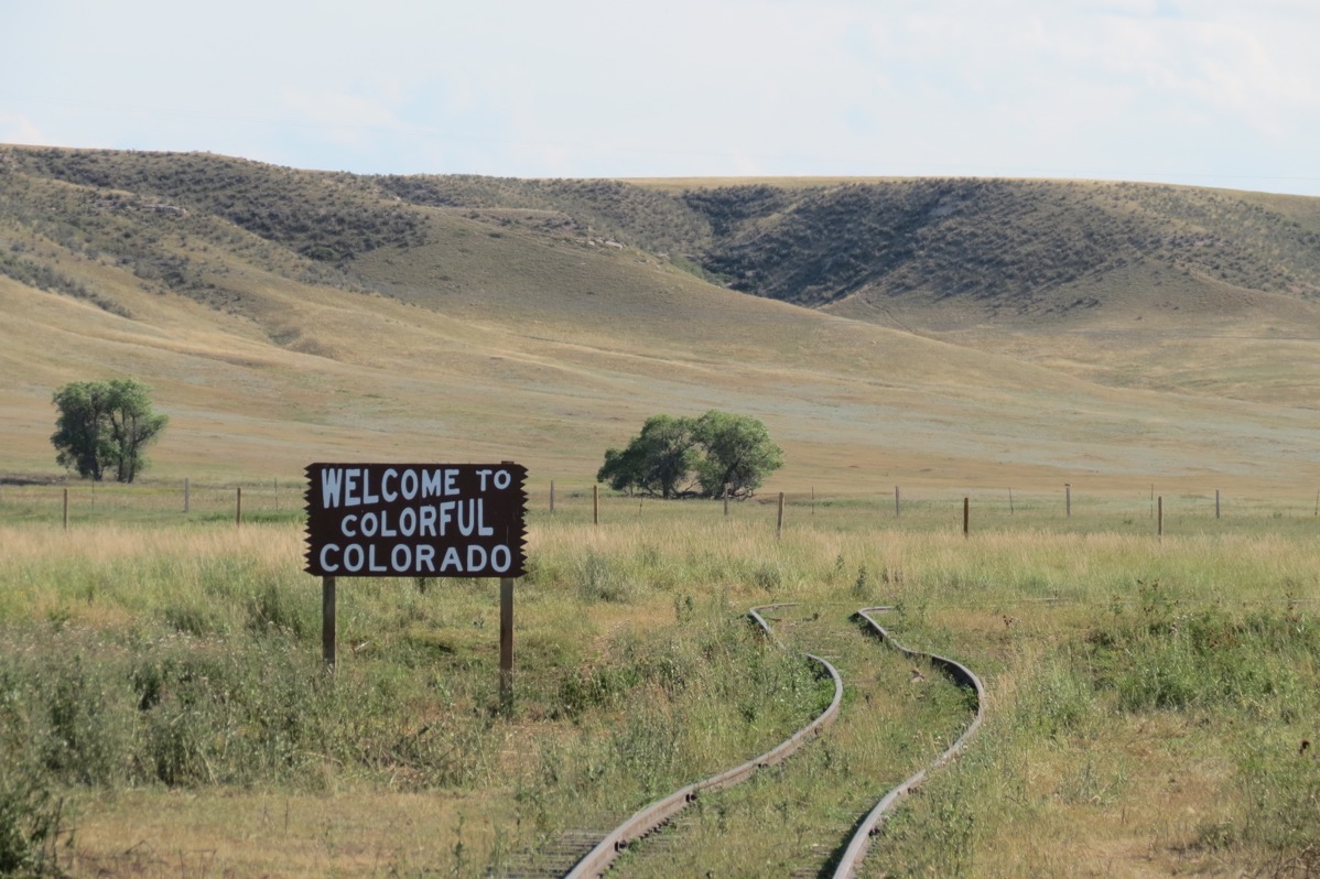
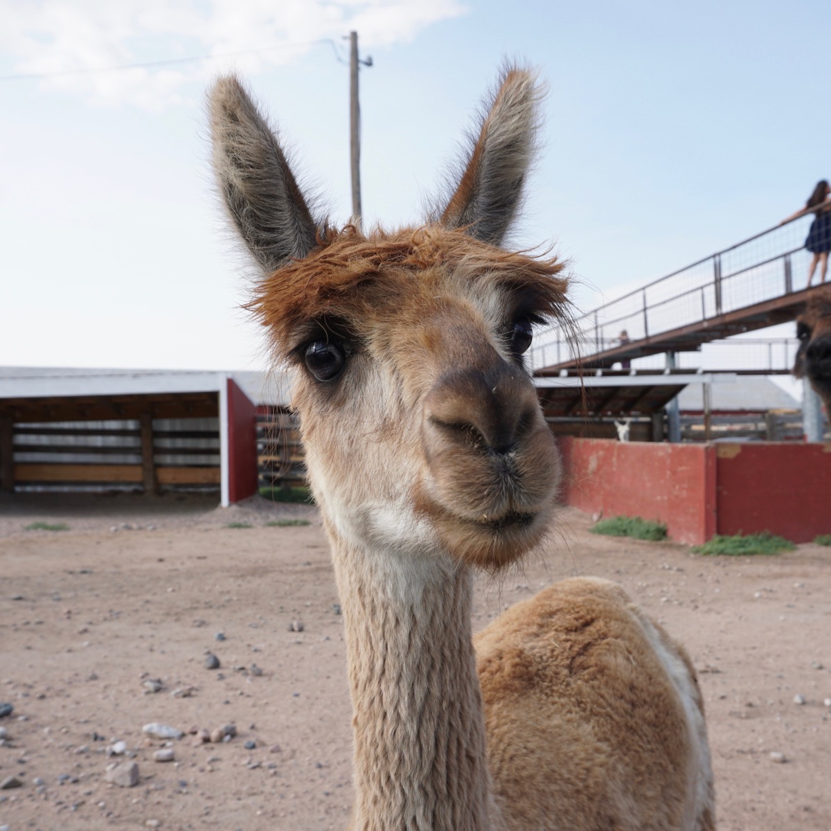
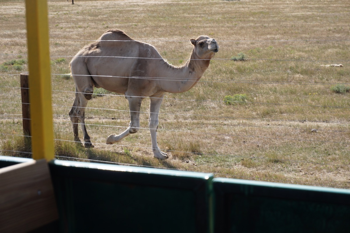
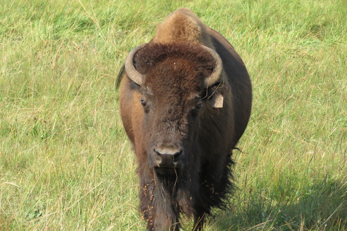
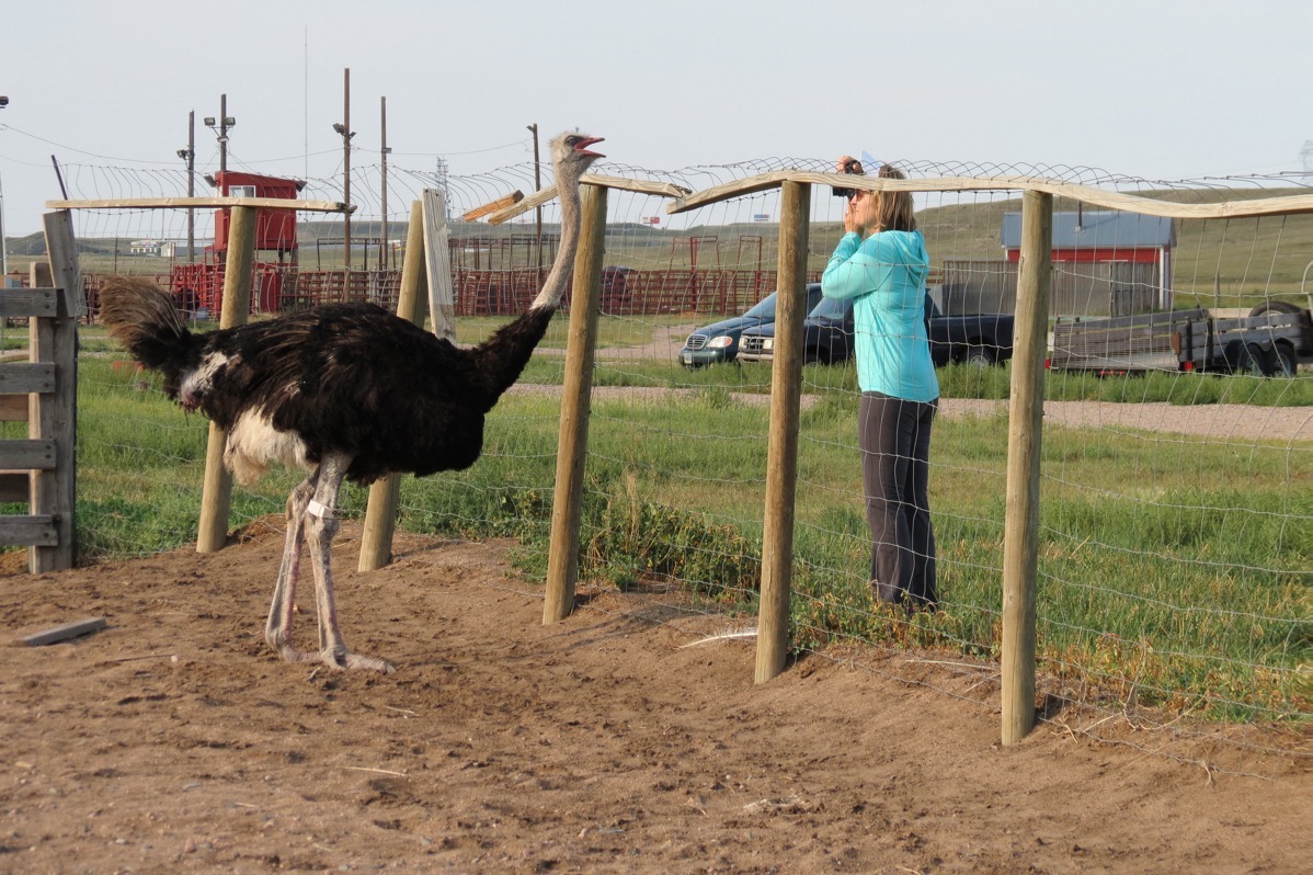
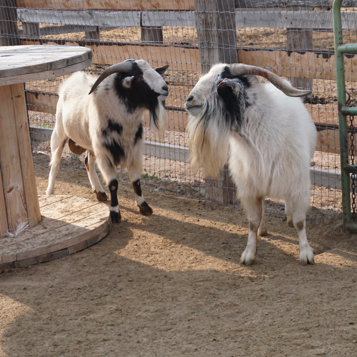
Then we drove to Terry Bison Ranch where we are staying for the night and got to see ostriches, llamas, alpacas, pigs, horses, peacocks, goats, camels and fed the bison during a train ride. After being in the national parks and being warned to stay away from the bison, we were amazed how gentle these bison were. They didn't even grab the food, but rather waited for us to give it to them.The Terry Ranch is 27,500 acres and is located south of Cheyenne, Wyoming and stretch into Colorado. It is the third largest bison meat producer in the US.
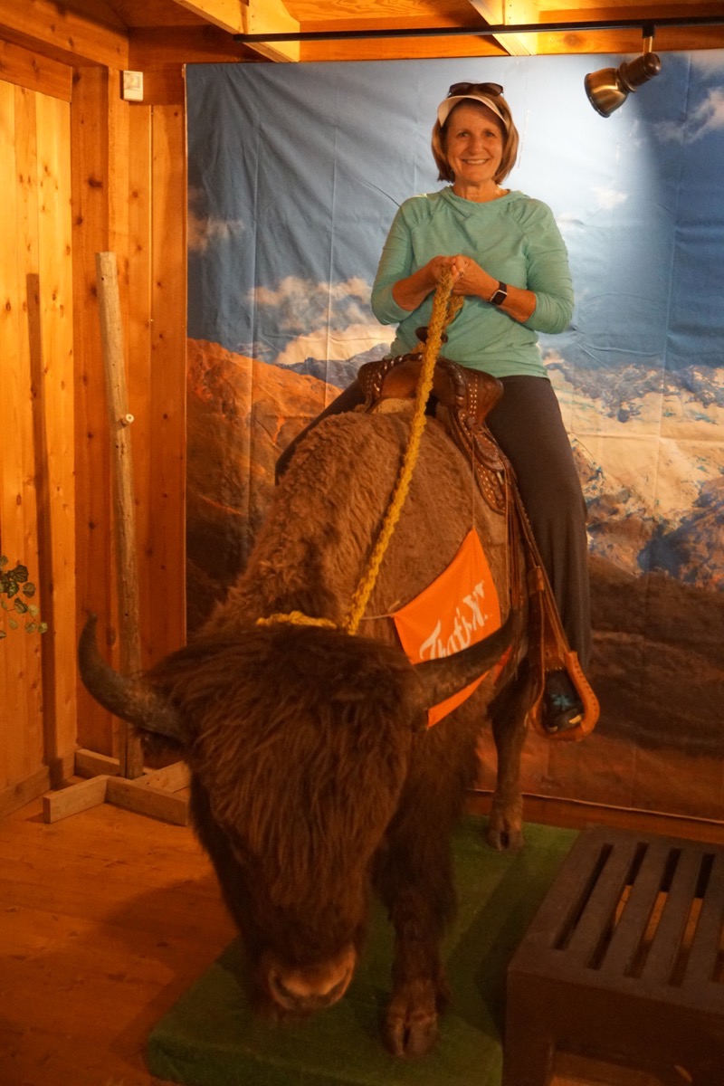
While we were registering at the RV Park at Terry Bison Ranch, I took the opportunity to ride the bison!
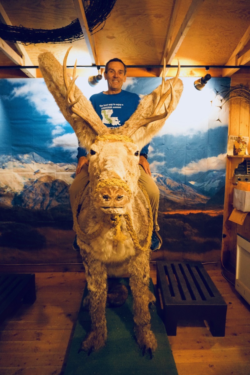
Tom was riding the jackalop
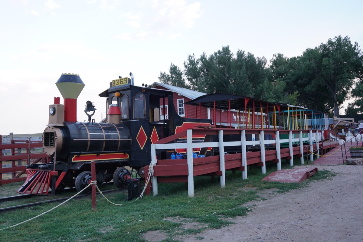
We took a train ride around the ranch and fed the buffalo from the train.
