Day 78 - Great Falls, MT
Great Falls, MT
We started the morning by driving to River’s Edge Tail and riding our bicycles along the Missouri River for 8 miles. This particular trail is part of the Rails to Trails system and is nice and wide and paved.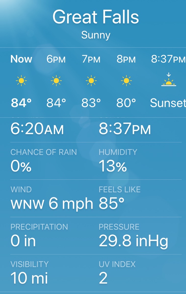
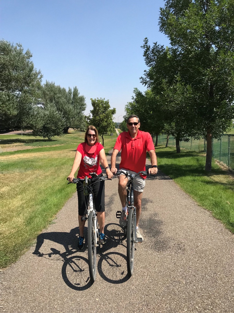
There was a fenced dog park for small dogs and a separate park for large dogs at the start of our bike ride. I guess the medium size dogs get their choice! (Notice the classy look of my sun visor around my neck. I forgot it was there, but had moved it there to keep it from flying off).
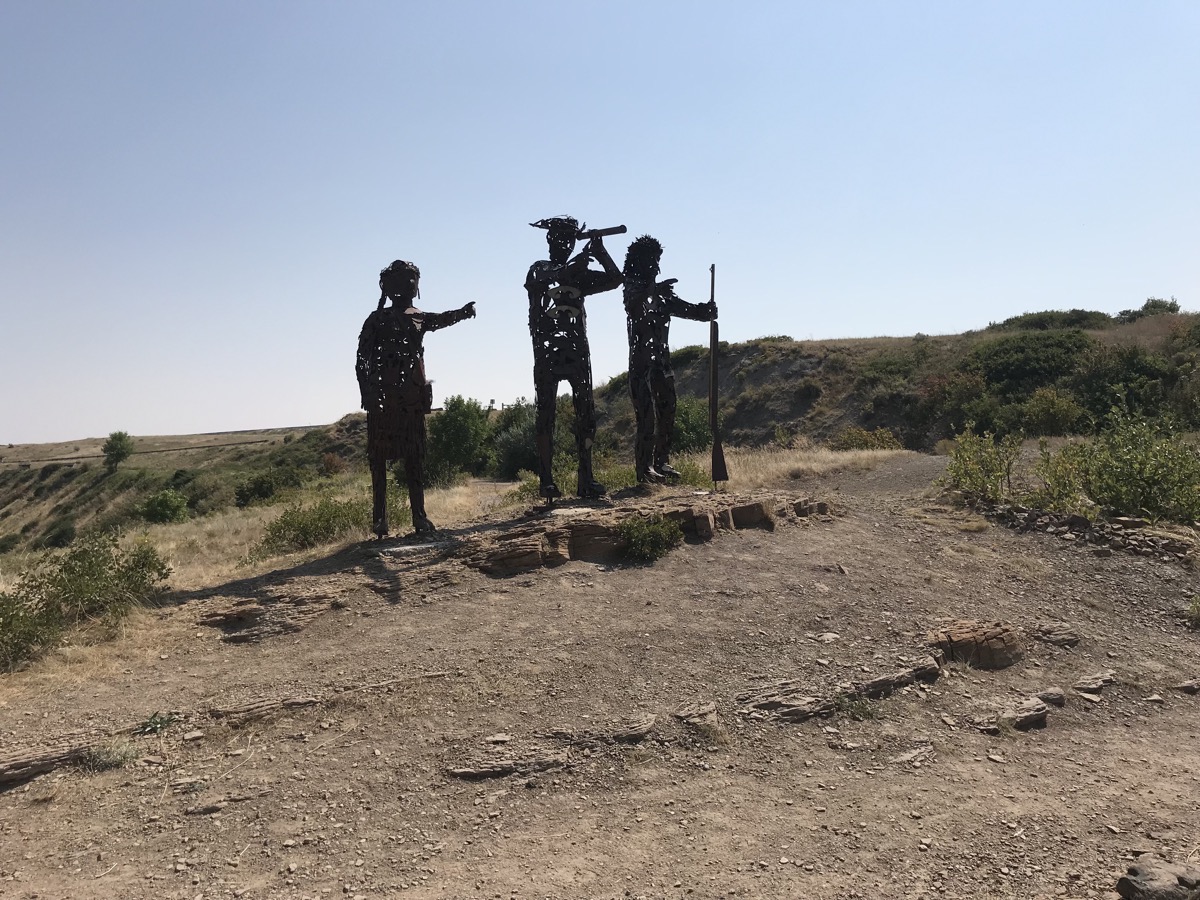
Lewis, Clark and Scagawea
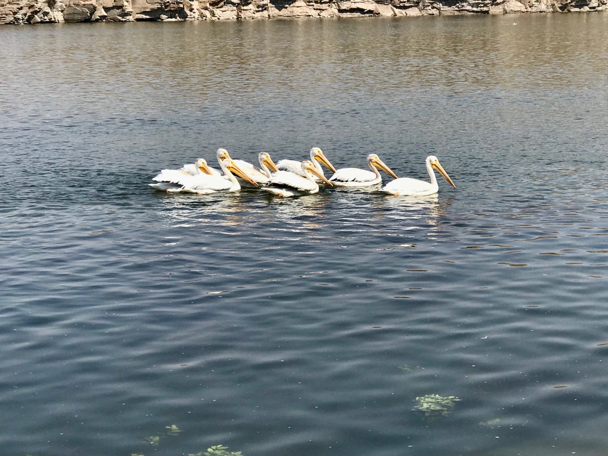
Storks swimming along the river
We rode as far as the Giant Springs State Fish Hatchery before turning around. Montana has 12 fish hatcheries that annually stock approximately 50 million fish into approximately 836 lakes and reservoirs and 23 rivers and streams throughout Montana. We watched an interesting video about the delivery of the eggs to the hatcheries, the growth of the fish and the methods of delivering the fish to the various bodies of water.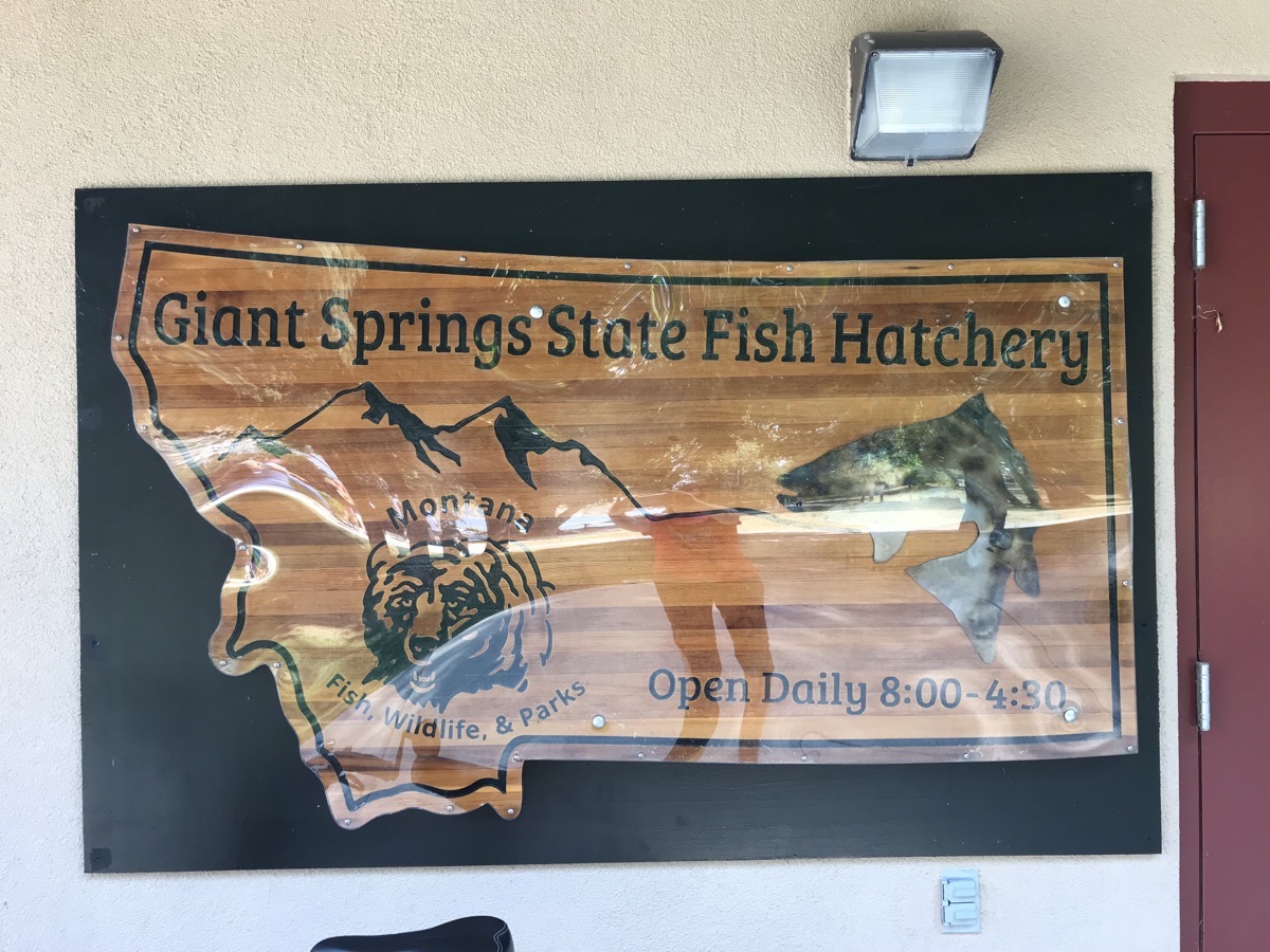
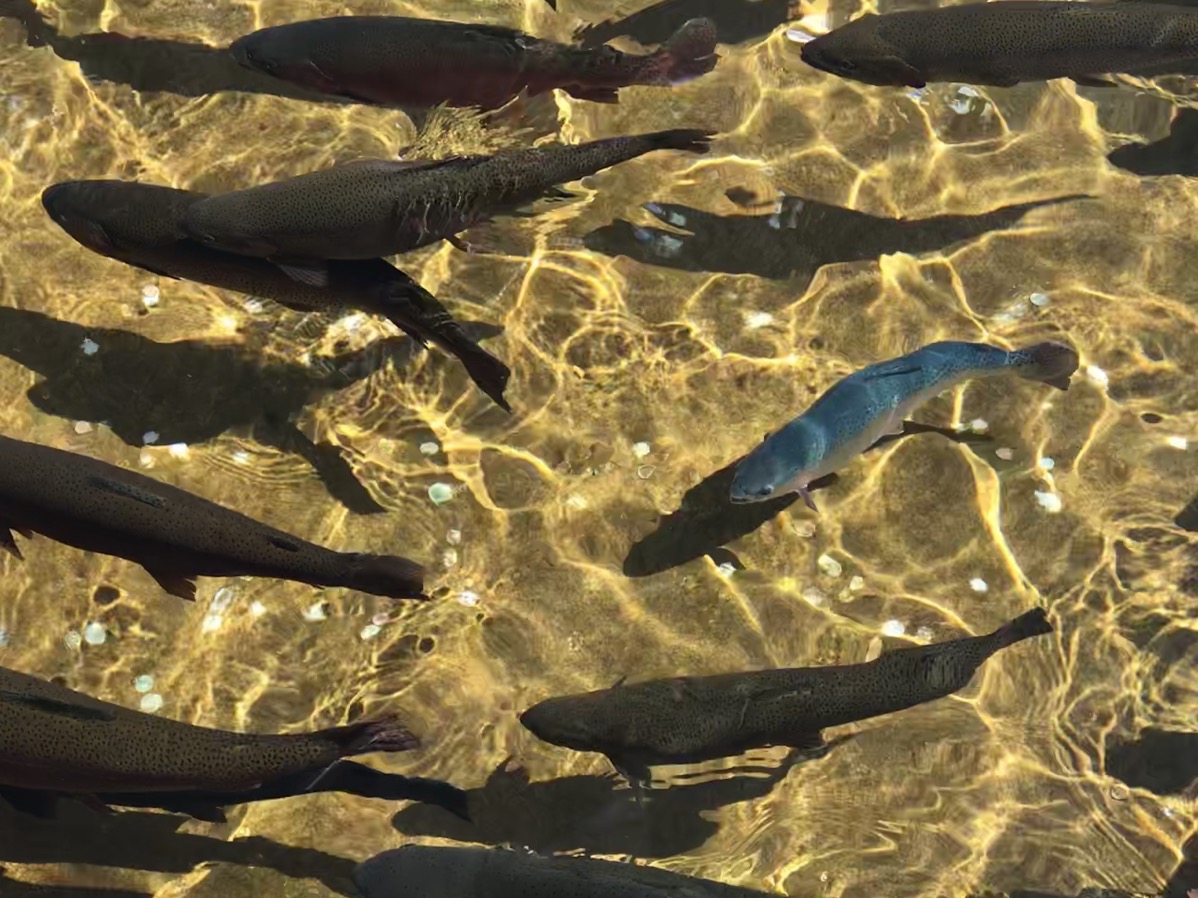 Each year over one million rainbow trout are raised here.
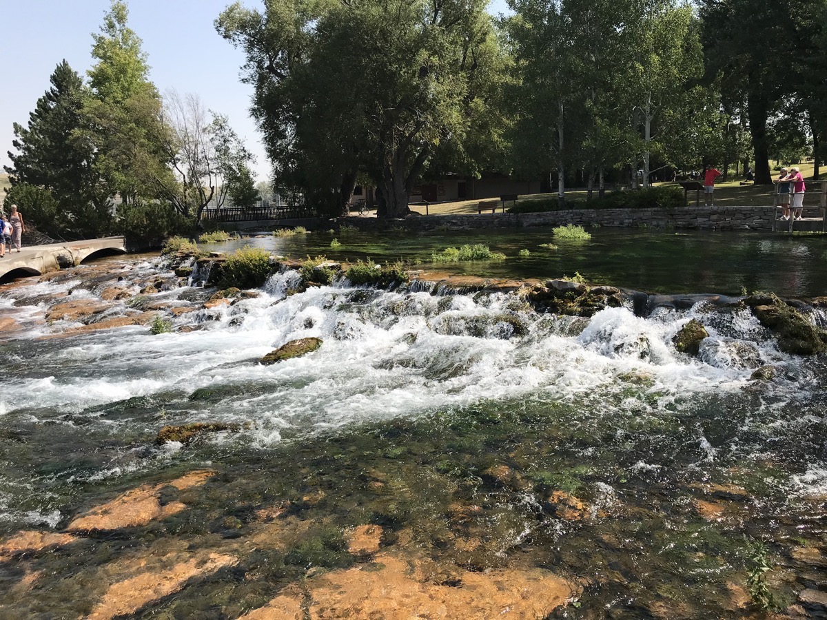
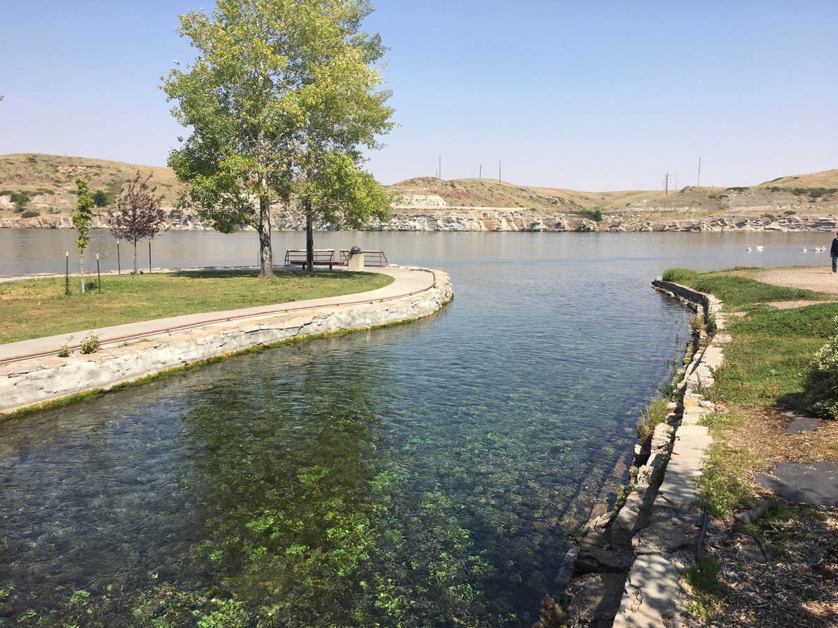
At this point one of the shortest rivers flows in the country flows into the longest river. The Roe River ranks as one of the shortest rivers at only 201 feet in length. The Missouri River is the longest in the country stretching 2,540 miles, 200 miles longer than the Mississippi River.
Lewis & Clark Interpretive Center
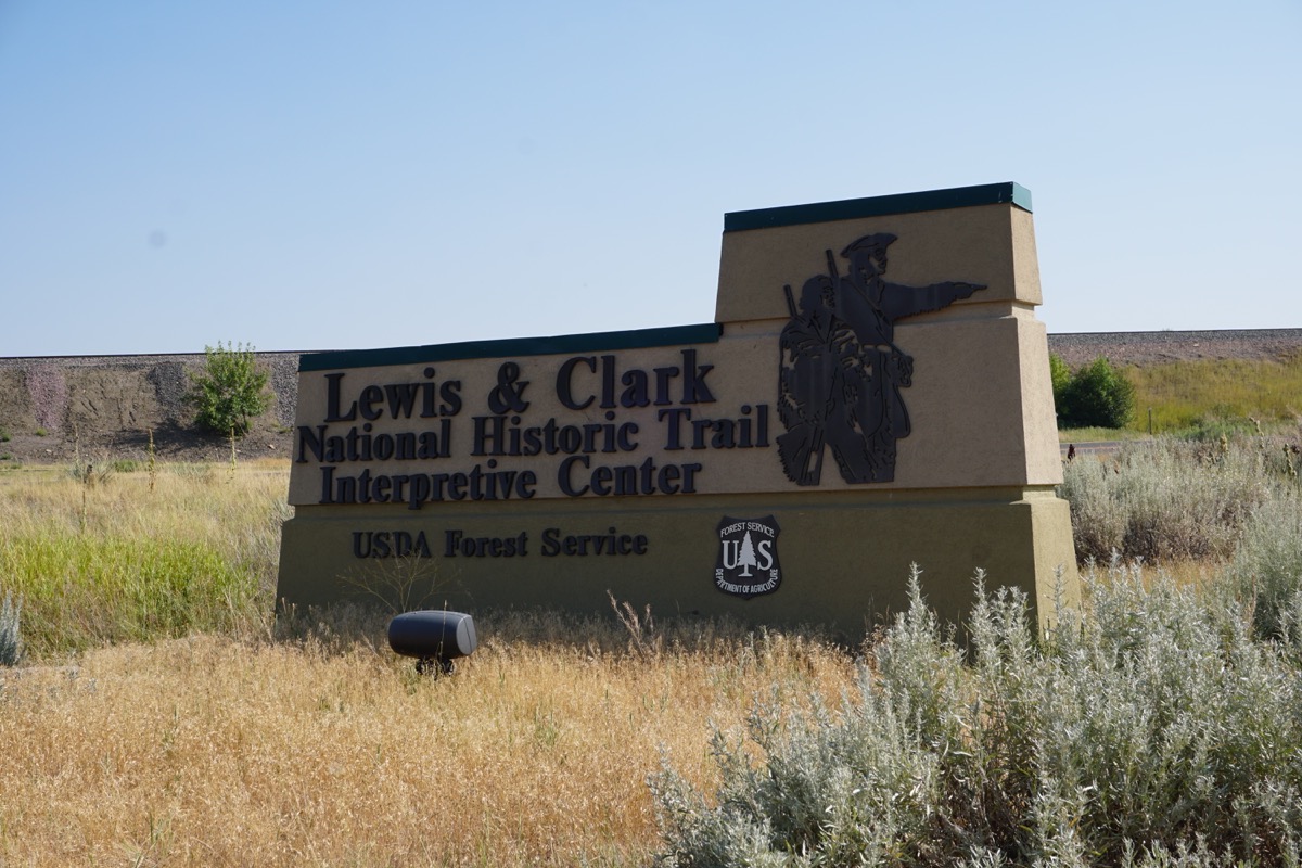
This center recaps the grueling journey of Meriweather Lewis and William Lewis to explore the Missouri River, make diplomatic contact with Indians and locate the Northwest Passage to the Pacific Ocean. The expedition lasted from May 14, 1804 to September 23, 1806 when they returned to St. Lewis.
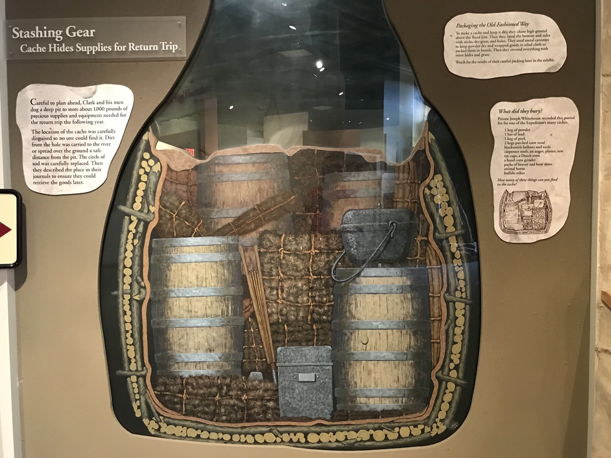
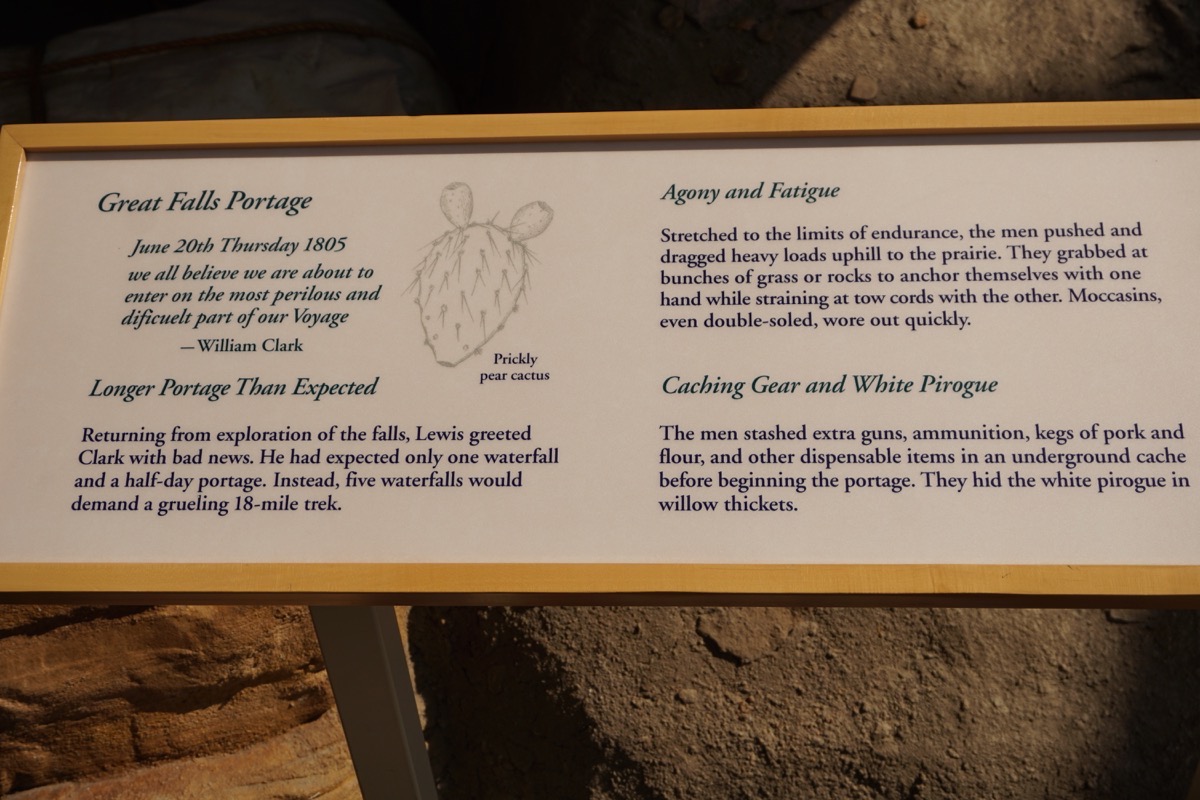
Clark and his men dug a deep pit to store about 1,000 pounds of supplies that they would need for the return trip the following year. They carefully disguised the cash so no one would find it. The dirt that was removed was carried to the river for disposal or spread over the ground a safe distance away. the circle of sod that was removed was carefully replaced. A good description of the location was noted in the journal so the men could find it on the return trip.
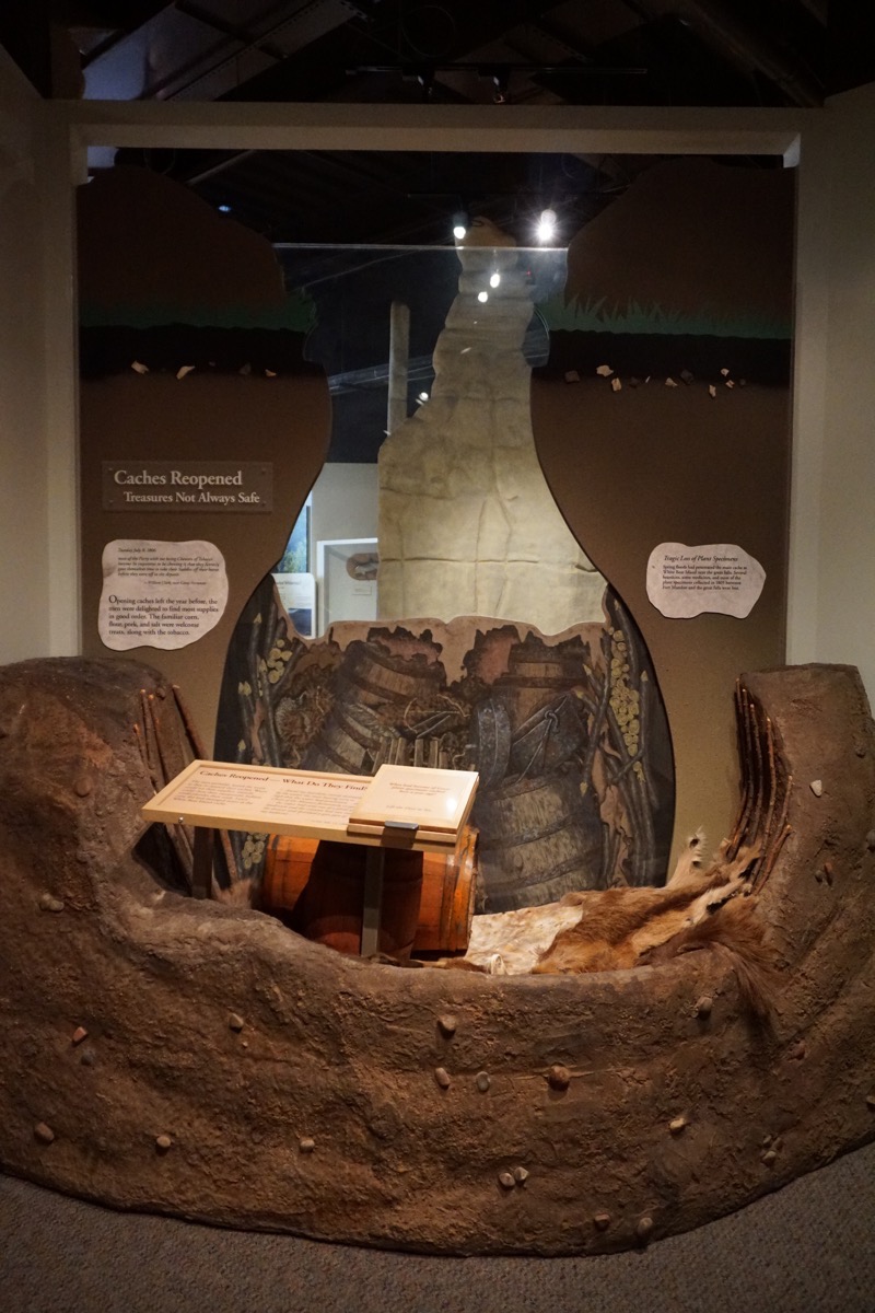
When the men opened the cache a year later, most of the supplies were still in good shape: the flour, pork, salt and tobacco were all welcome sights to see. However, spring floods had penetrated the cache and several bearskins, some medicines and most of the plant specimens that had been carefully flattened and preserved were destroyed.
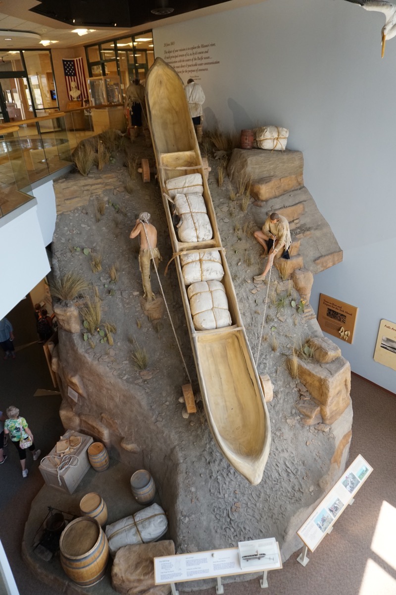
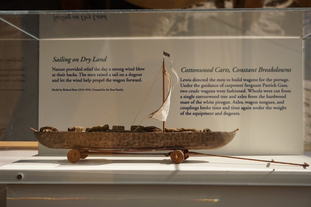
Portage of boats and supplies by land because of the FIVE sets of falls near Great Falls (Lewis and Clark only knew of one). It took one month to cross the area by land.
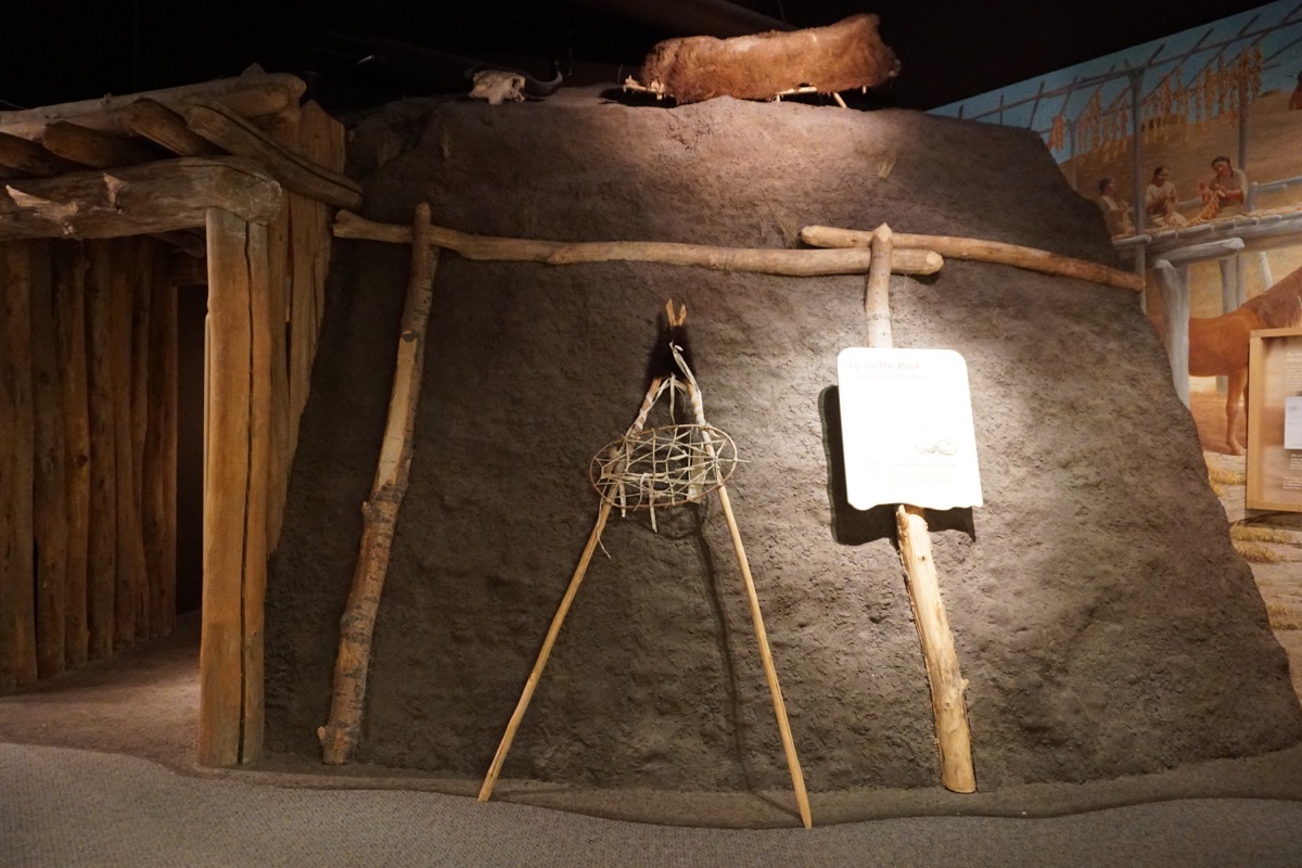
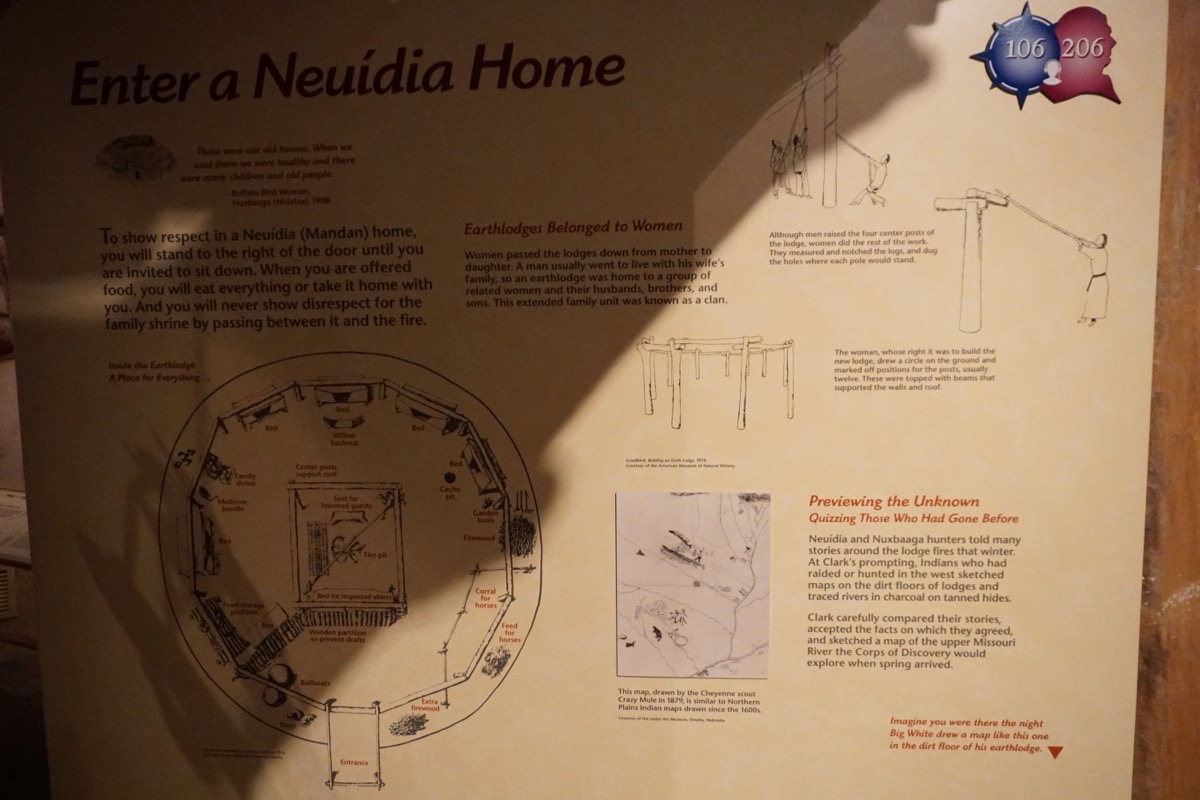
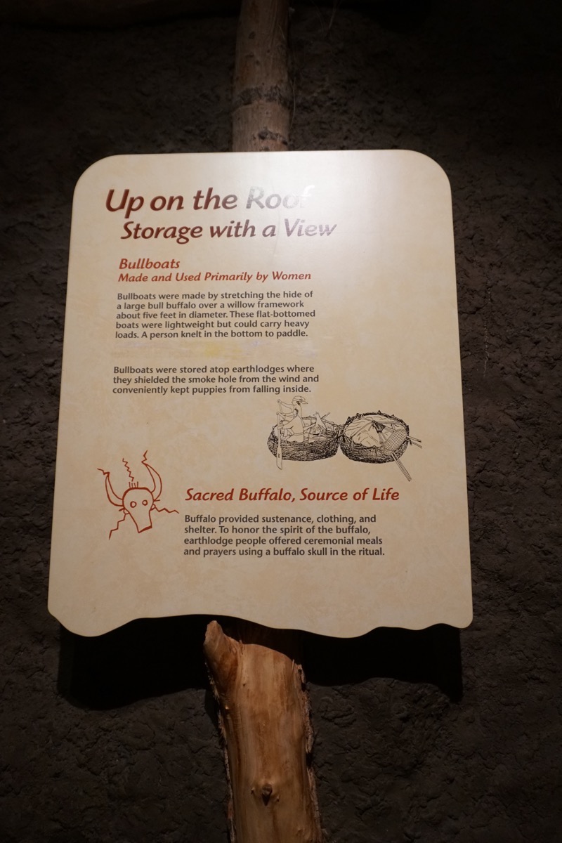
Mandan Home. These earth lodges belonged to the woman and were passed down from mother to daughter. A man usually went to live with his wife’s family, so an earth lodge was home to a group of related women and their husbands, bothers, and sons.
The GREAT Falls
We drove out to Ryan Island to see what was called the Great Falls. A dam is built over it now and most of the water is funneled to the right side and used to create electricity.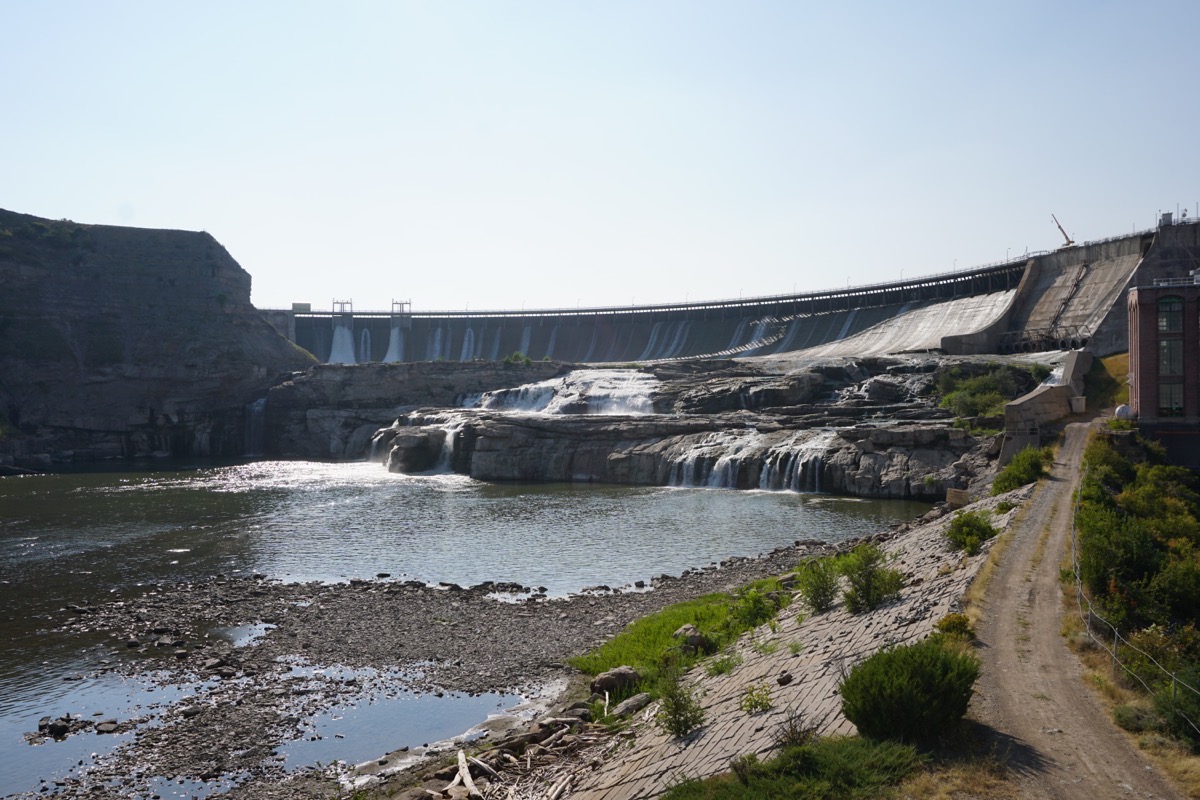
After Captain Lewis arrived at the Great Falls it was his job to measure and map them. Using a sextant and a rod, he used geometry to measure the falls. He measured the falls to be 97’ and 3/4”. Recent electronic measurements record the height of the falls as 96 feet. He did a great job!
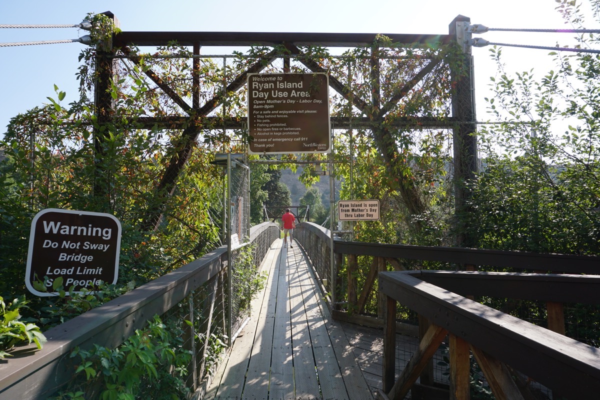
We walked across this this suspension bridge to get to Ryan Island where we could see the Great Falls. I have never been on a bridge that had so much motion when we walked (or one that said it have a load limit of SIX people).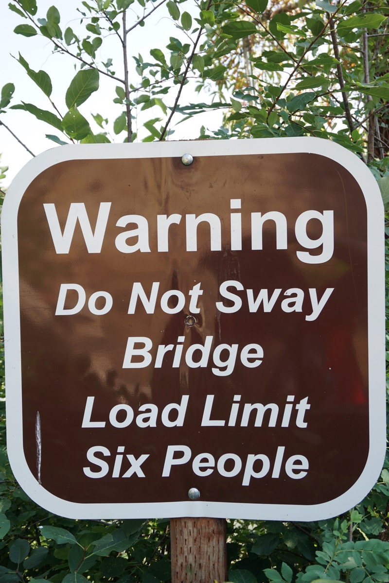
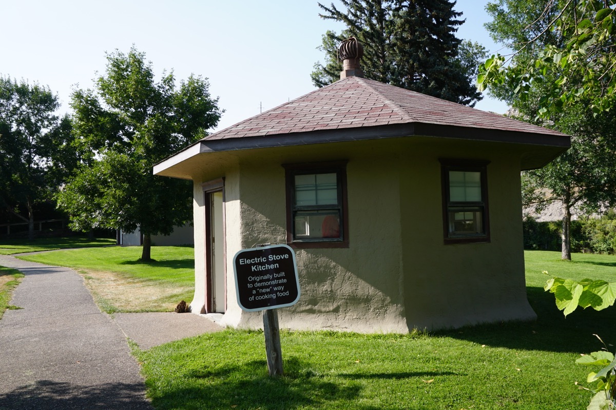
While on Ryan Island we saw this interesting building with the Electric Stove Kitchen sign. Inside were four electric stovetops on a long counter.
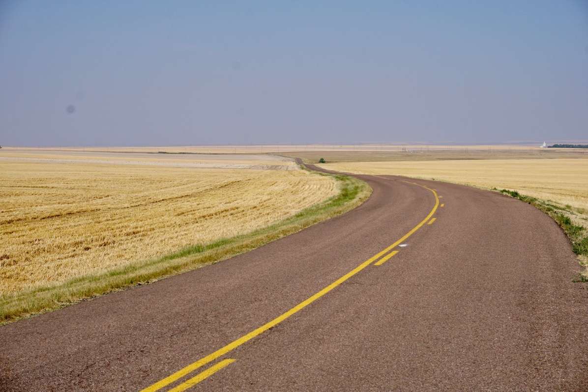
The scenery on the way to the Grand Falls