-
Day 81 - Casper, Wyoming
The National Historic Trails Interpretive Center
We drove from Kaycee to Casper, WY where we stopped and toured the National Historic Trails Interpretive Center. We watched films that recreated the journeys of different groups of people who travelled west on the various trails:
- The Oregon Trail, a 2000 mile trail used by American pioneers living in the plains in the 19th century who were searching for futile land in Oregon.
- The California Trail, a trail of about 3,000 miles that crossed the western half of America from Missouri to what are now river towns in California.
- The Mormon Trail, a 1,300 mile route that members of The Mormon faith used to travel from Nauvoo, Illinois to Salt Lake City from 1846 to 1868.
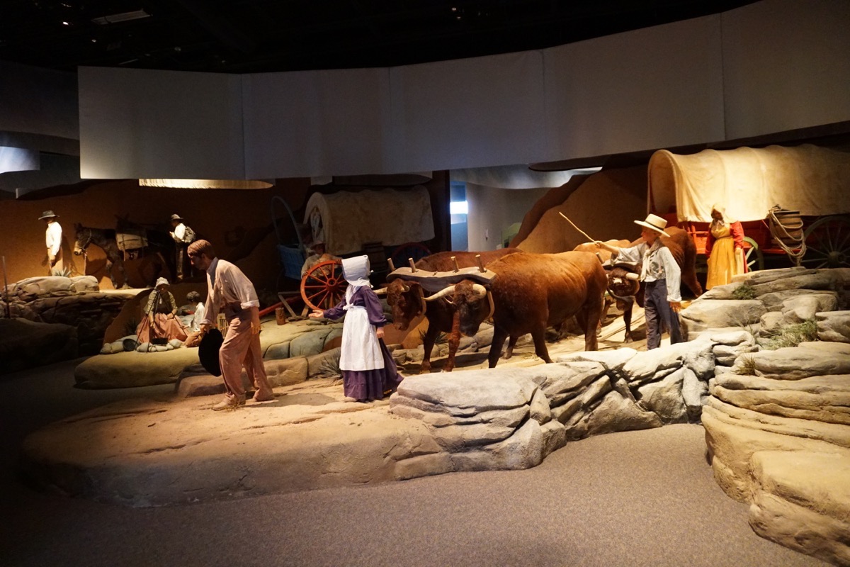
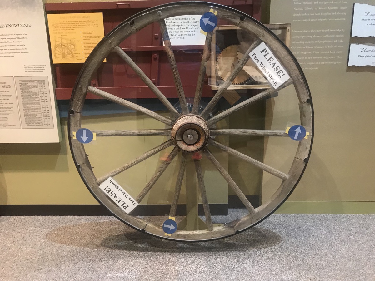
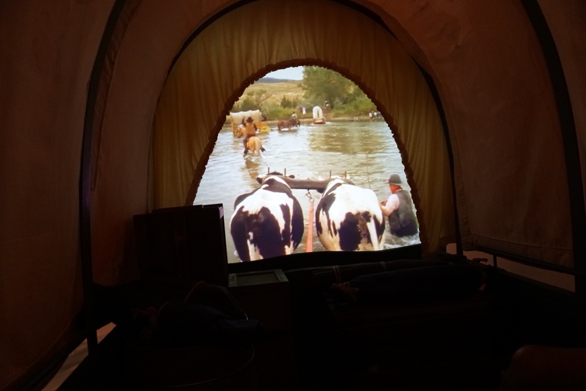 We were sitting in the wagon seeing what it felt like to cross the Platt River (when the river was not high).
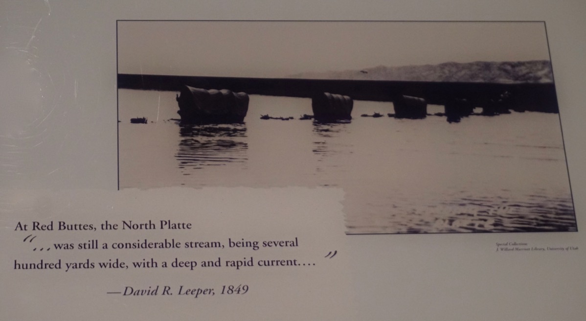
Look how high the river is on the oxen! There were many people who drowned while trying to cross here.
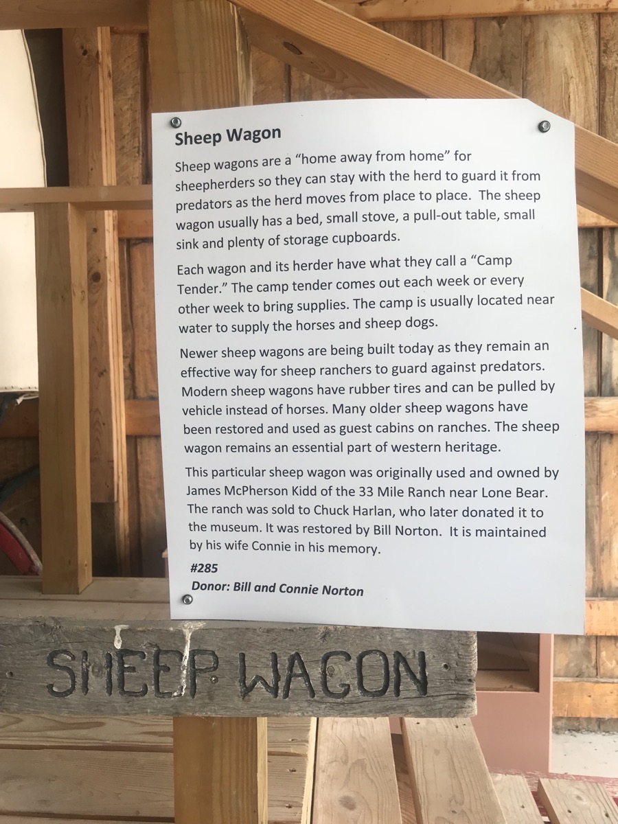
Sheep Wagon
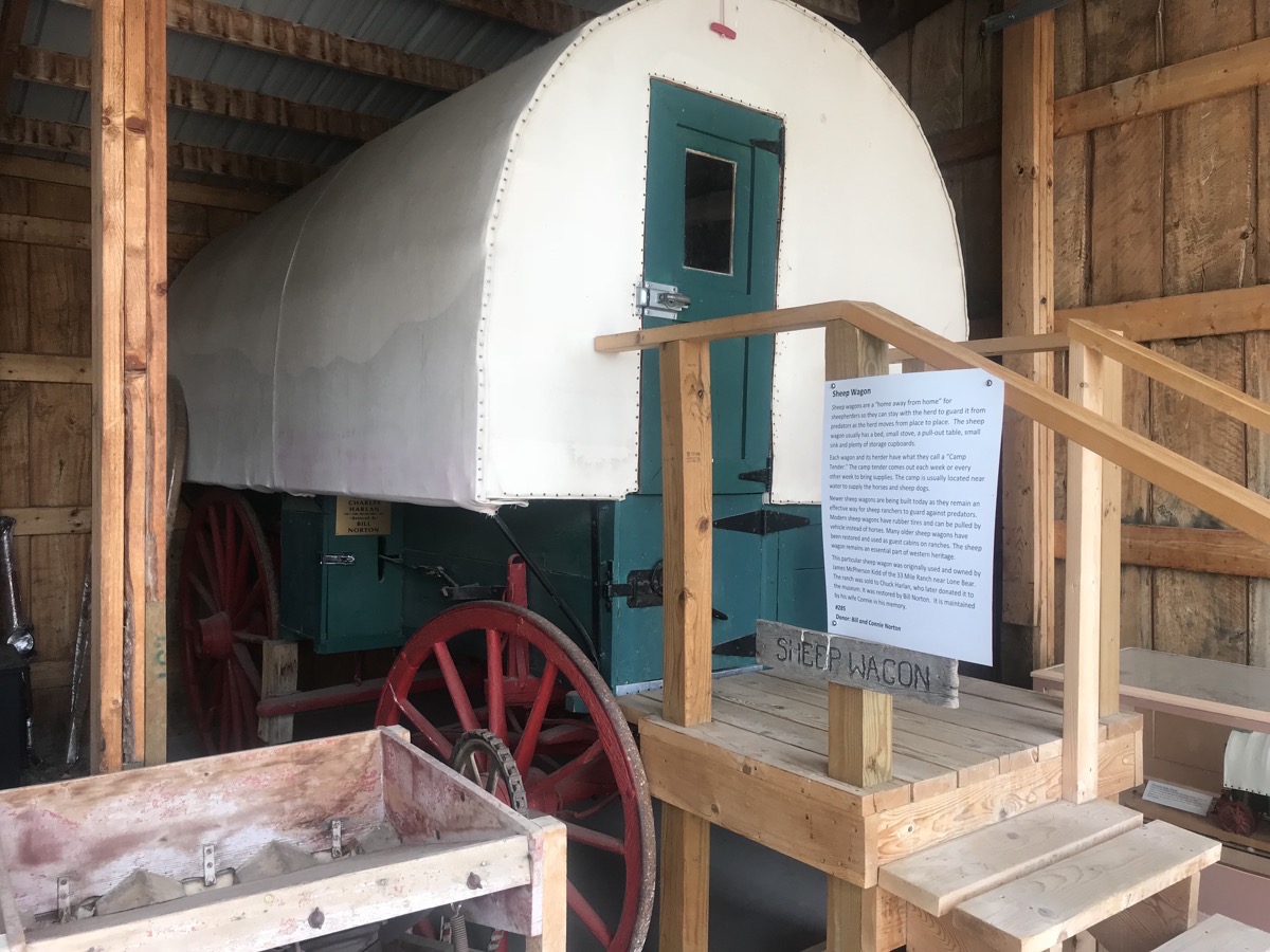
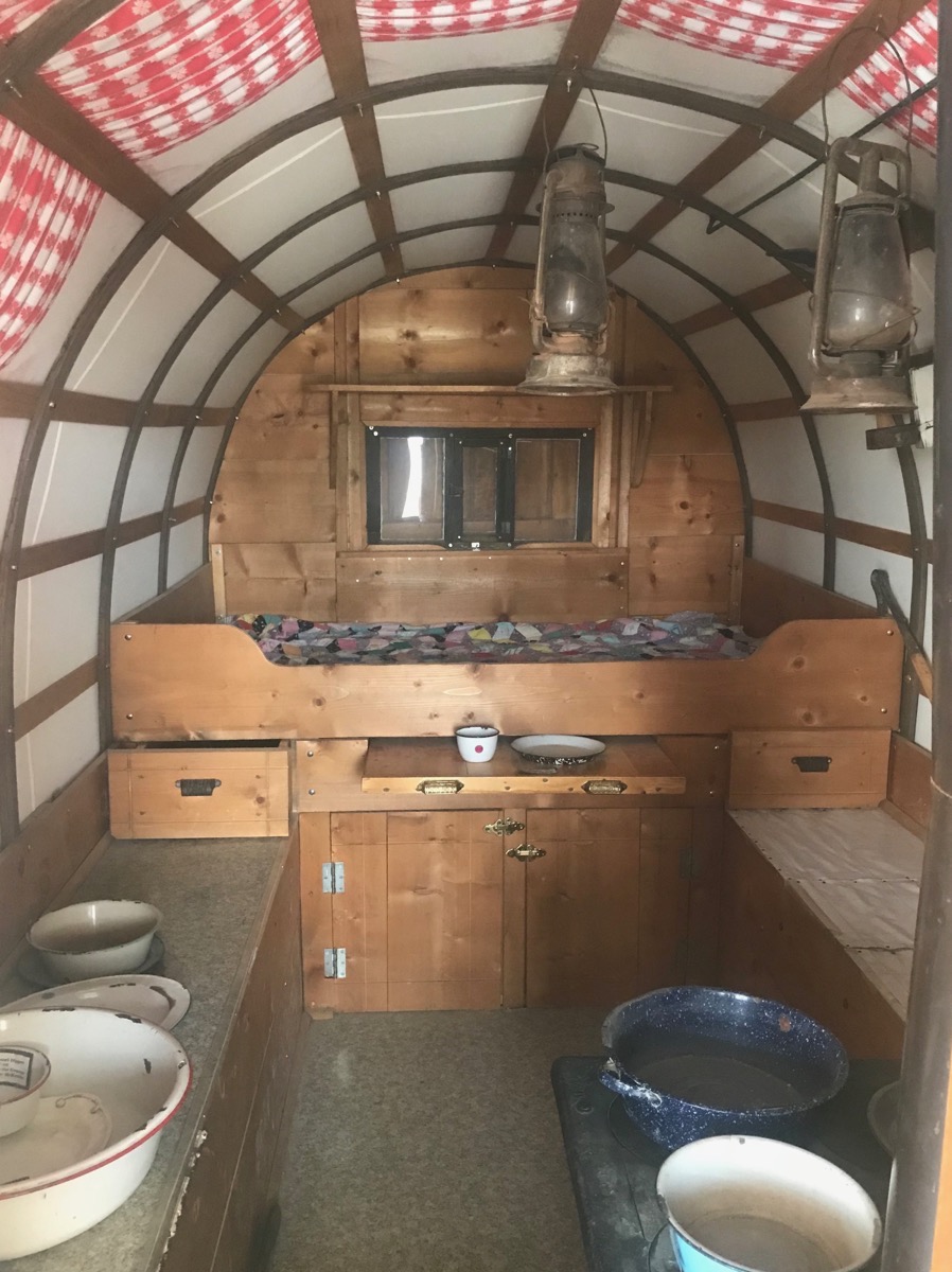
This sheep wagon has a stove on the right front.
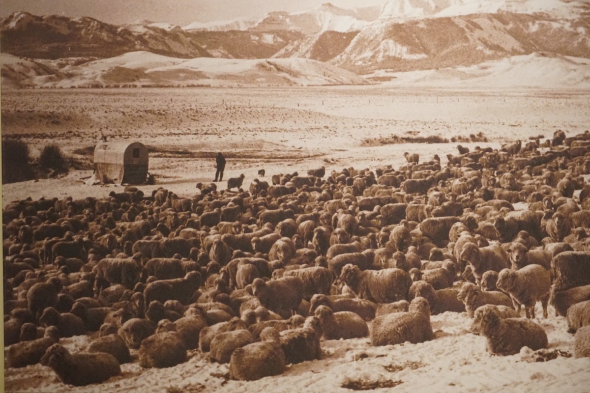
Look at the sheep wagon on the left hand side of this picture.
Ft. Caspar Museum
Our next stop in Casper was at the
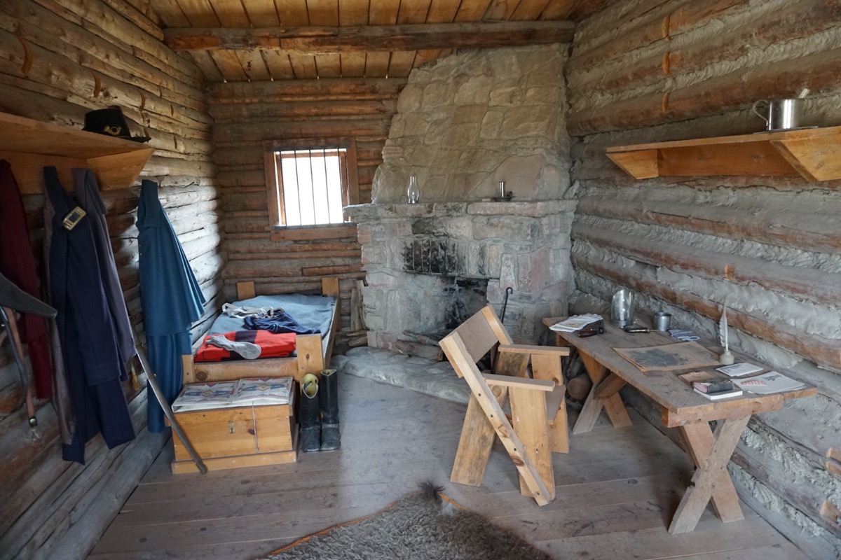
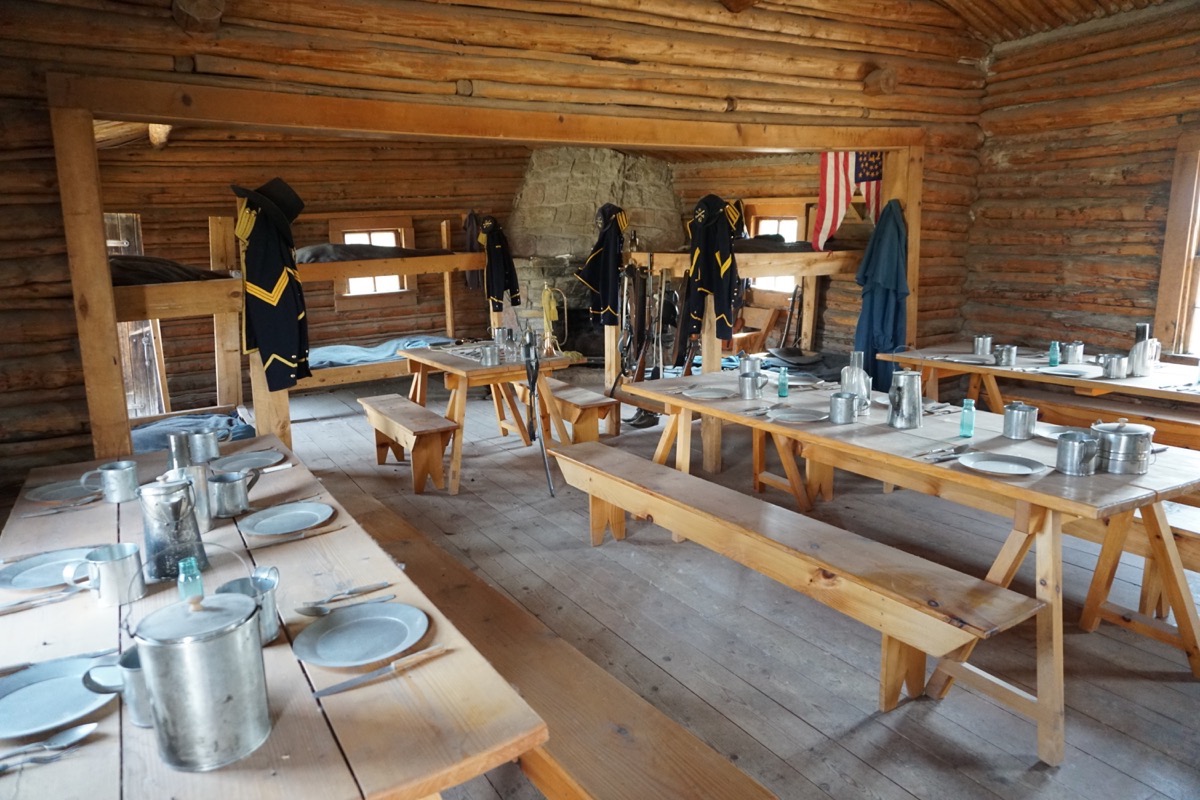
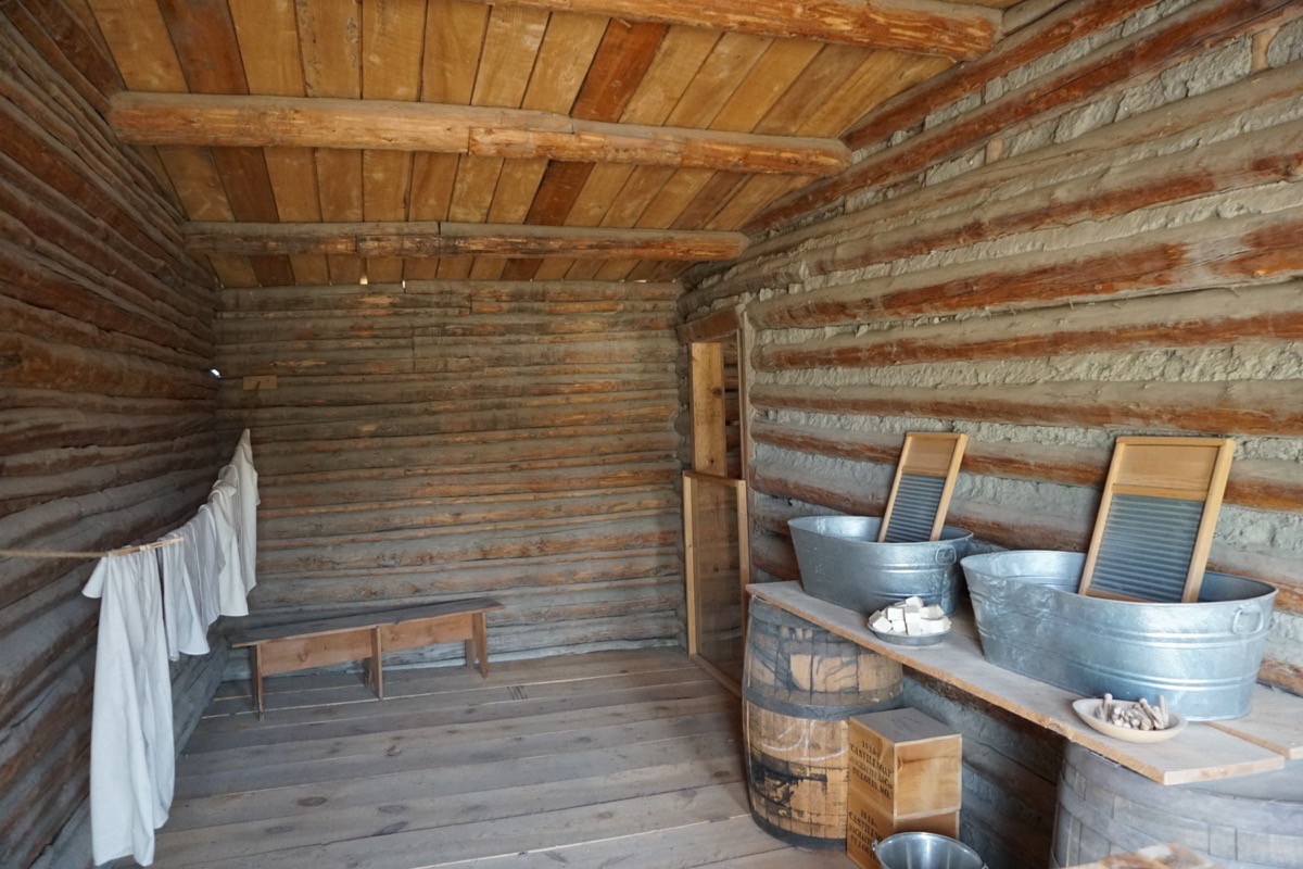
Ft. Casper Museum. Originally established in 1862 as Platte Bridge Station, the Army outpost was meant to guard the mail service and the newly constructed transcontinental telegraph lines from attach by Plains Indian groups. It only stayed until about 1867 when the Union Pacific Railroad cross to the south and the telegraph lines were also moved to the south.in 1936 the fort buildings were reconstructed by local workers and the fort was named Fort Casper.
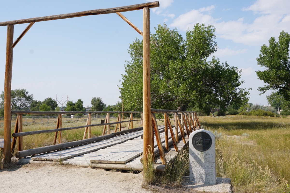
A replica of the original 1,000 foot bridge built by trader Louis Guinard that crossed the Platt River.
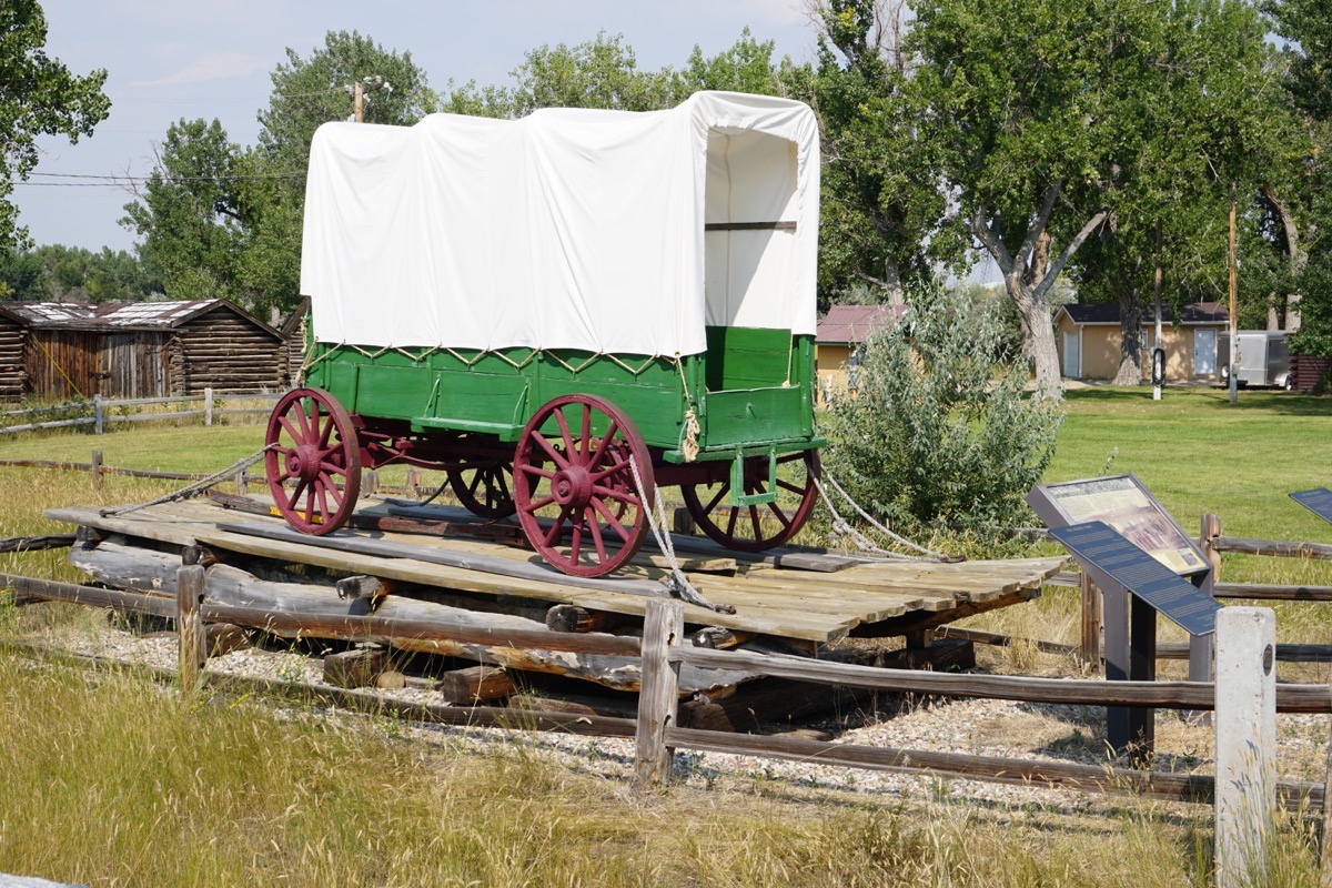
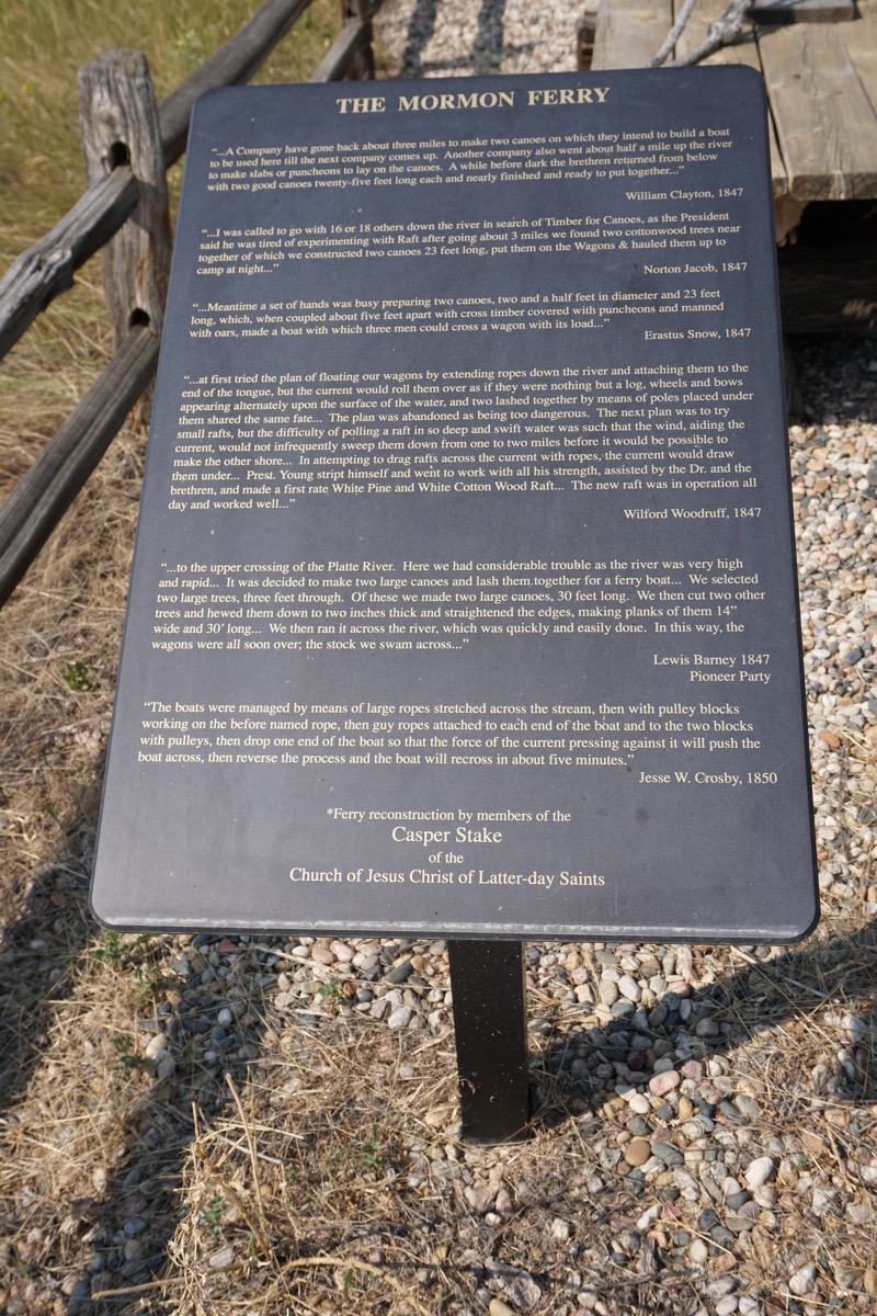
A replica of the first Mormon ferry that crossed the North Platte River
-
Days 79 & 80 - Driving days from Great Falls to Kaycee, WY
Billings, Montana
We drove 226 miles from Great Falls to Billings, MT and stayed in the Walmart Parking lot for the night. We met John and Holly Gott for dinner at Montana’s Rib & Chop House where we had a delicious dinner and a great visit. Afterwards, we went to Baskin Robbins for some ice cream. After dessert they came back to our motorhome where we visited for a couple of hours. Nice evening!
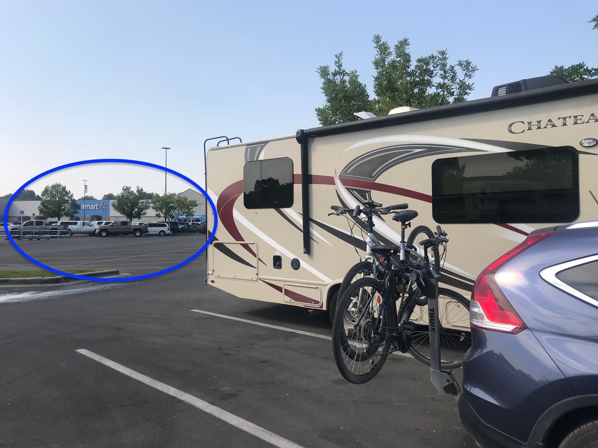
There were twelve RVs camping there with us.
Trip Statistics:
We drove 226 miles in the RV and 10 miles in the CRV today and have now driven a total of 11,184 miles so far on this trip.
August 16, 2018
We left Billings this morning after getting gas and drove to Little Bighorn.
Little Bighorn National Monument
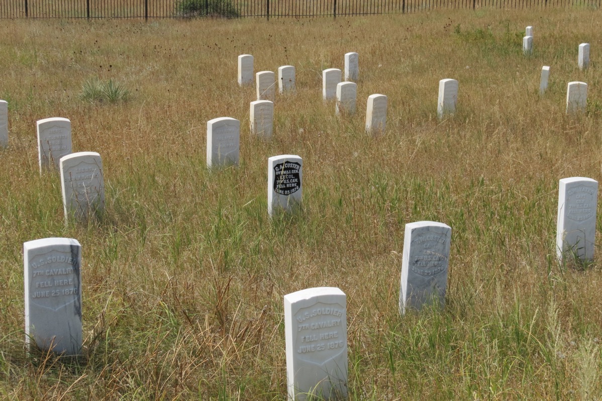
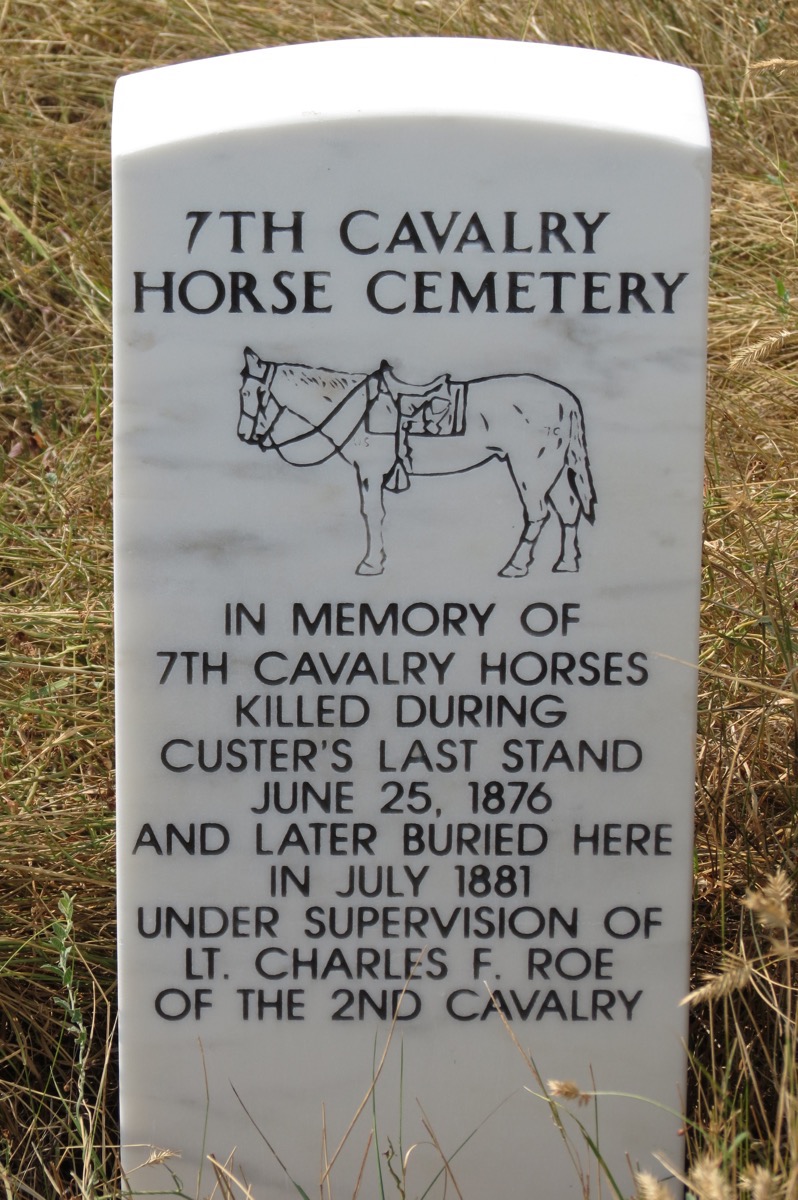
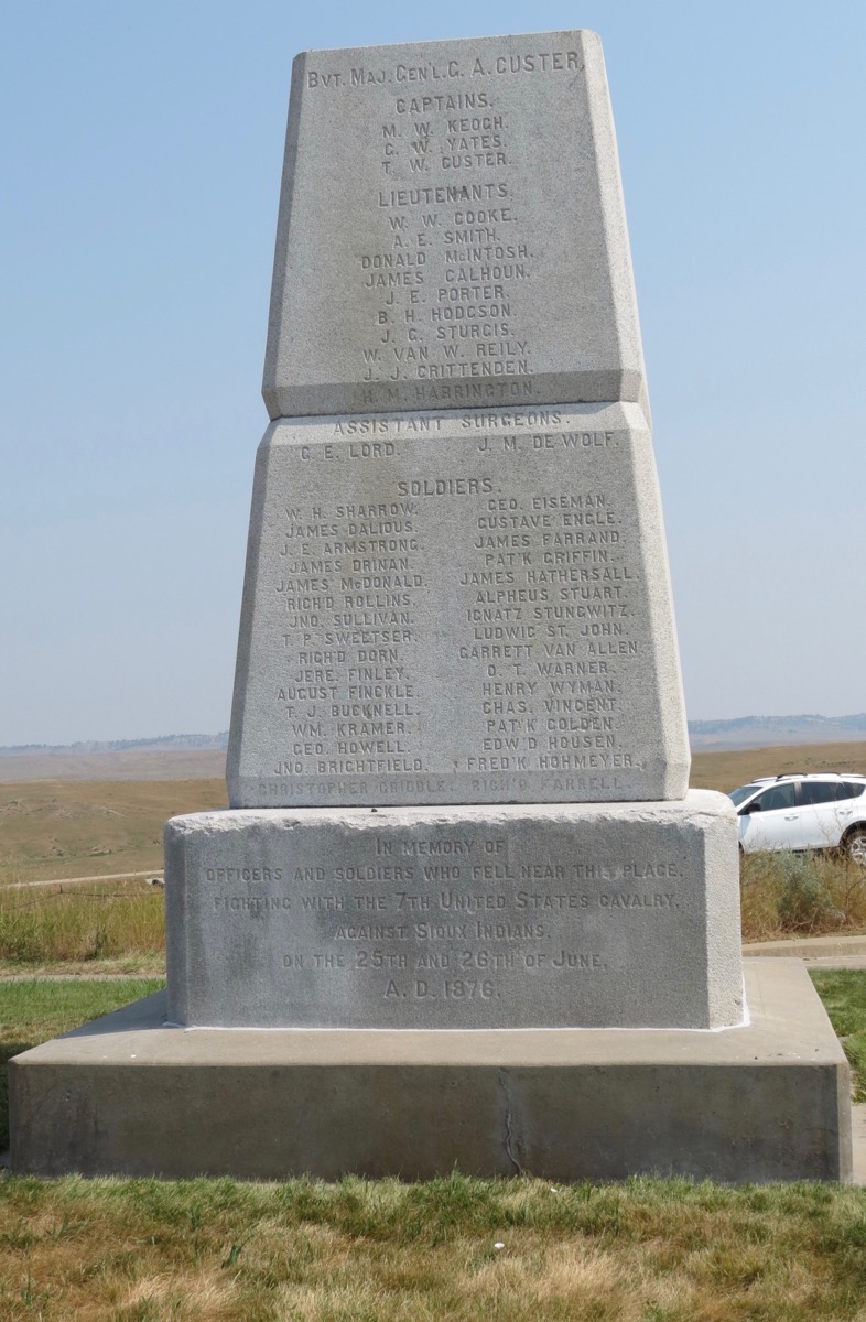
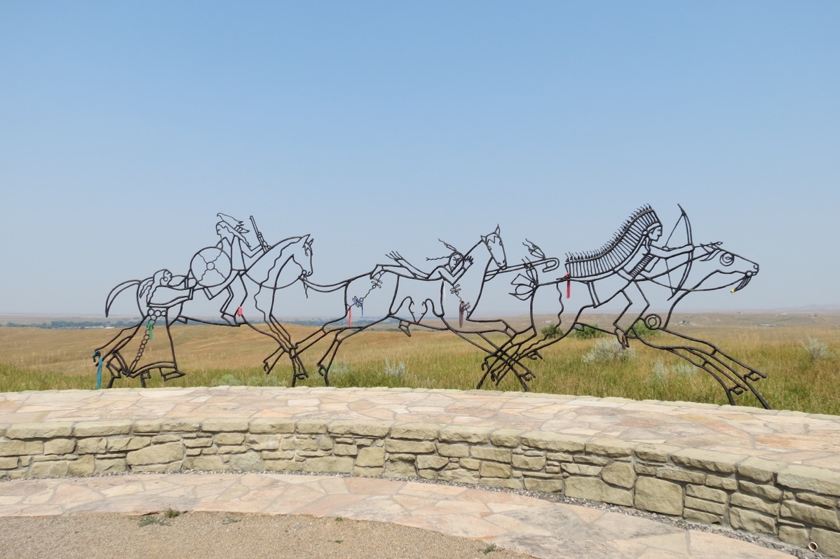
We stopped to tour the Little Bighorn and watched a film of the battle and toured the battleground. It memorializes a major battle fought on June 25, 2876, between Lakota, Cheyenne and Arapaho Indians, against the US Army. These tribes were fighting to preserve their traditional way of life as nomadic buffalo hunters. Custer and 262 men died at the Battle of the Little Bighorn. After Custer’s defeat, Sitting Bull, along with his people, fled north to Canada. In 1881, he returned to the US to surrender. Sitting Bull was killed by Indian police on the Standing Rock Reservation in South Dakota on December 15, 1890.
Kaycee, Wyoming
We stopped in Kaycee for the night and are camping at the Powder River Campground. After we parked we walked “uptown” to get some ice cream. Kaycee has a population of 263, so as you can imagine, there is not much here.
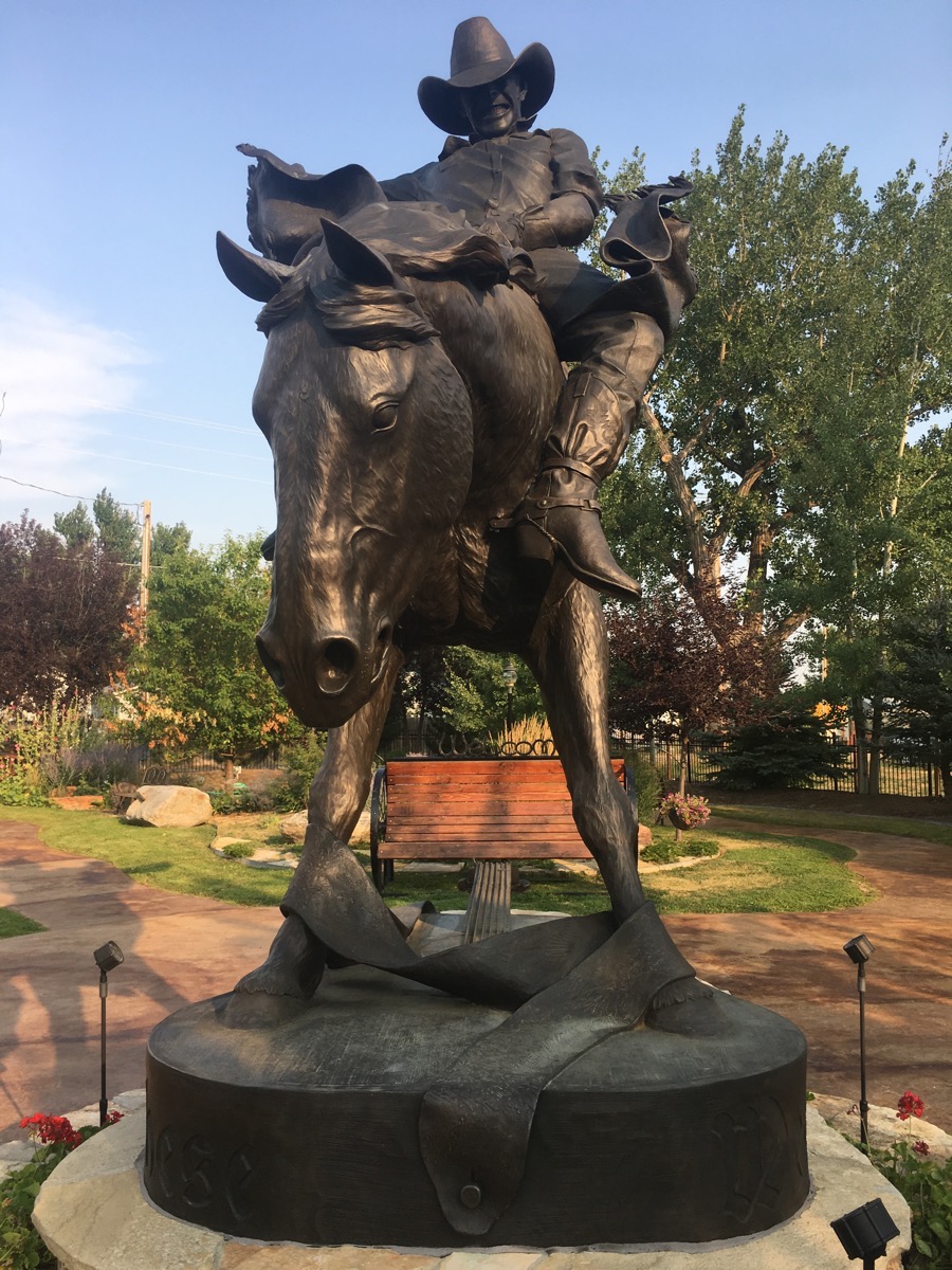
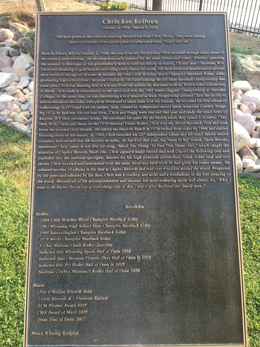
Chris LeDoux, rodeo rider, 1976 World Champion Bareback Rider, 5 time National Finals Rodeo Qualifier. He was also a country music singer.
Trip Statistics
- We drove 218 miles today making the total mileage for our trip be 11,402 so far.
- We paid $2.699 a gallon for gas this morning for a total of $151.28. We’ve spent $3,966.35 for gas so far.
- We are camping at the Kaycee Powder River Campground for $20.00. We’ve spent $2,400.36 on lodging so far.
-
Day 78 - Great Falls, MT
Great Falls, MT
We started the morning by driving to River’s Edge Tail and riding our bicycles along the Missouri River for 8 miles. This particular trail is part of the Rails to Trails system and is nice and wide and paved.
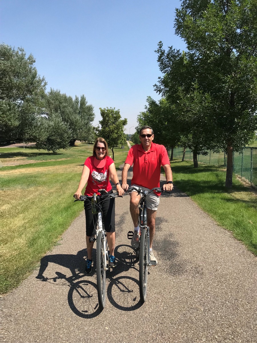
There was a fenced dog park for small dogs and a separate park for large dogs at the start of our bike ride. I guess the medium size dogs get their choice! (Notice the classy look of my sun visor around my neck. I forgot it was there, but had moved it there to keep it from flying off).
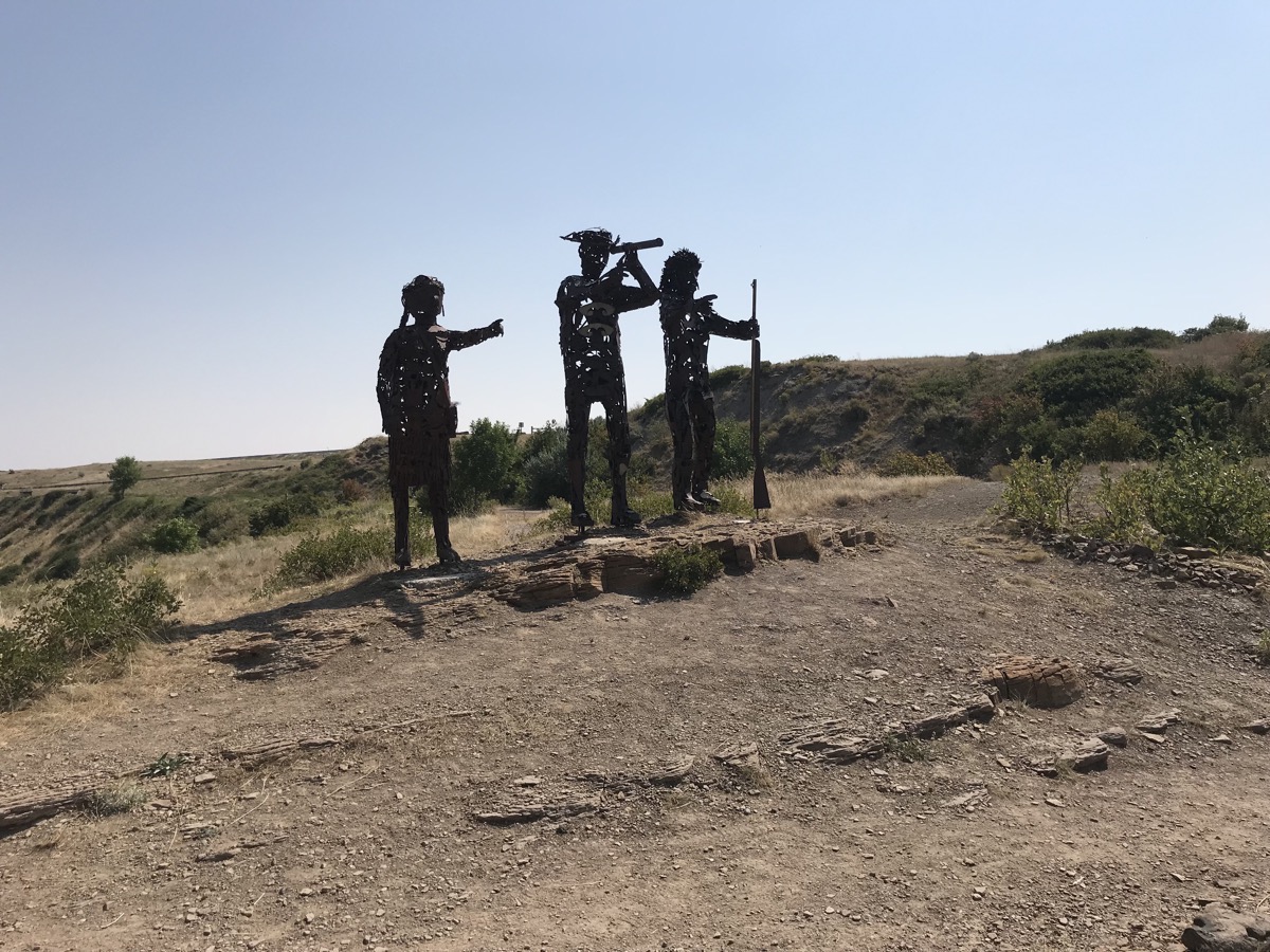
Lewis, Clark and Scagawea
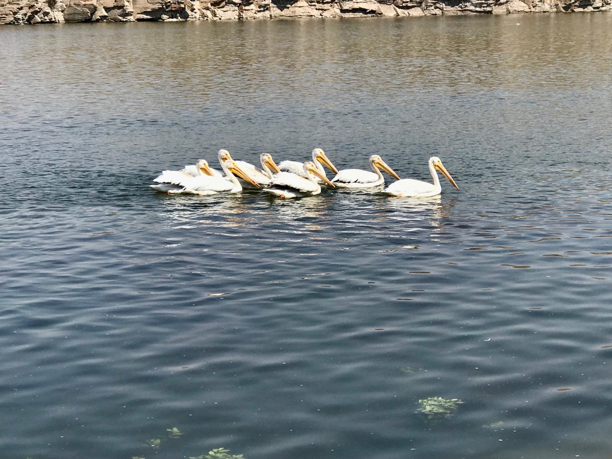
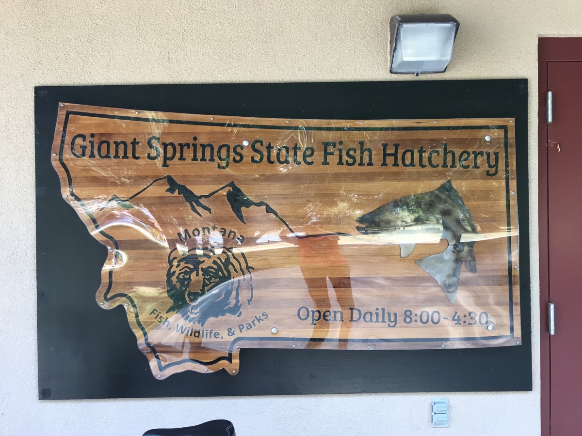
Storks swimming along the riverWe rode as far as the Giant Springs State Fish Hatchery before turning around. Montana has 12 fish hatcheries that annually stock approximately 50 million fish into approximately 836 lakes and reservoirs and 23 rivers and streams throughout Montana. We watched an interesting video about the delivery of the eggs to the hatcheries, the growth of the fish and the methods of delivering the fish to the various bodies of water.
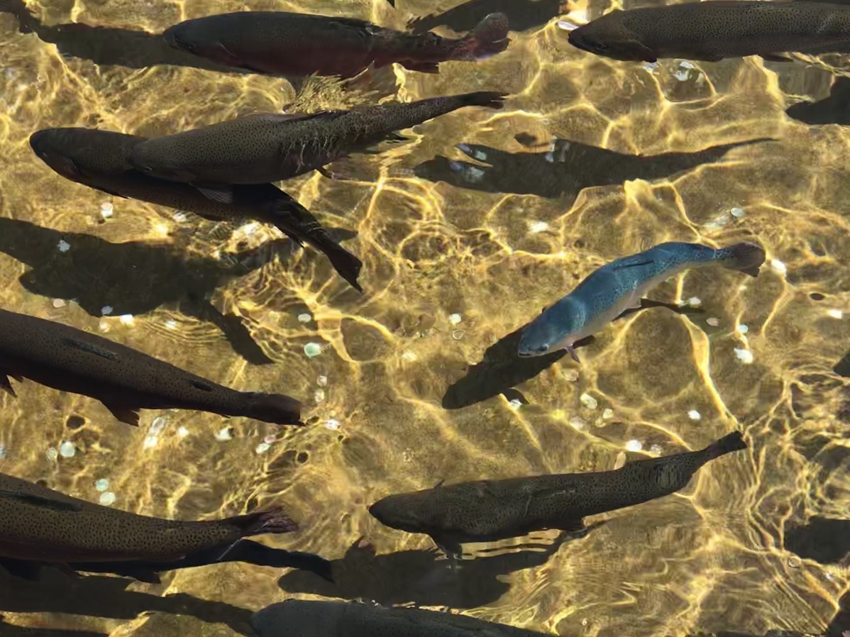 Each year over one million rainbow trout are raised here.
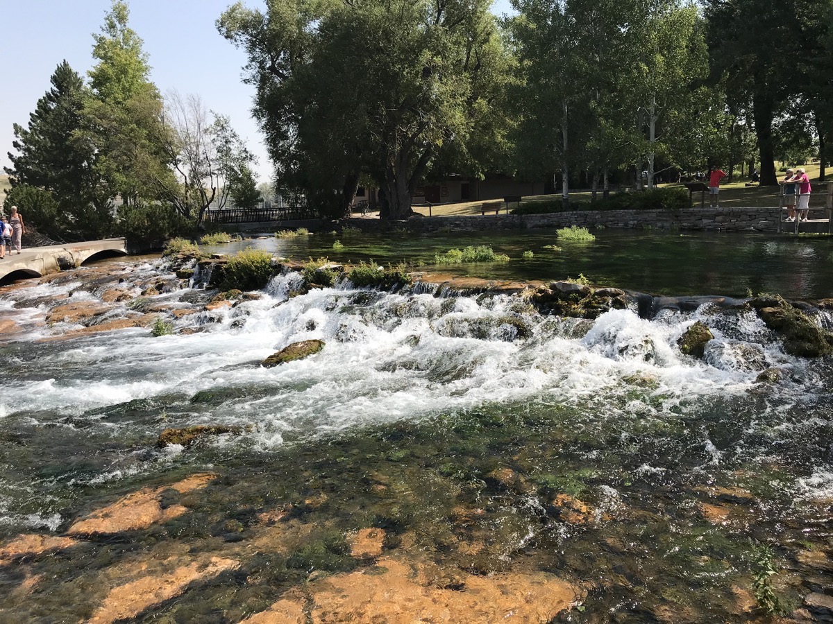
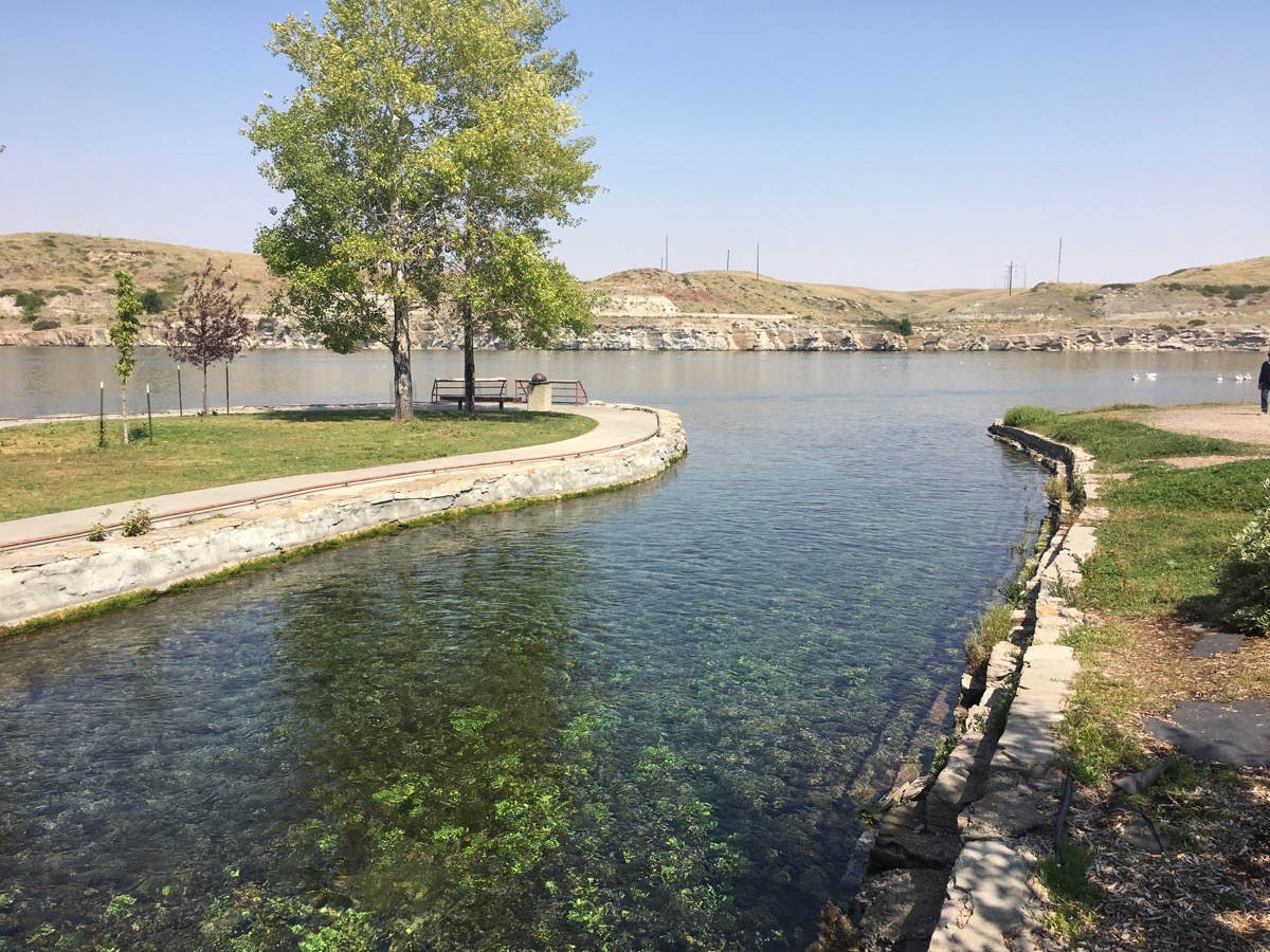
At this point one of the shortest rivers flows in the country flows into the longest river. The Roe River ranks as one of the shortest rivers at only 201 feet in length. The Missouri River is the longest in the country stretching 2,540 miles, 200 miles longer than the Mississippi River.
Lewis & Clark Interpretive Center
This center recaps the grueling journey of Meriweather Lewis and William Lewis to explore the Missouri River, make diplomatic contact with Indians and locate the Northwest Passage to the Pacific Ocean. The expedition lasted from May 14, 1804 to September 23, 1806 when they returned to St. Lewis.
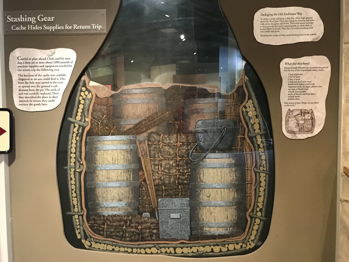
Clark and his men dug a deep pit to store about 1,000 pounds of supplies that they would need for the return trip the following year. They carefully disguised the cash so no one would find it. The dirt that was removed was carried to the river for disposal or spread over the ground a safe distance away. the circle of sod that was removed was carefully replaced. A good description of the location was noted in the journal so the men could find it on the return trip.
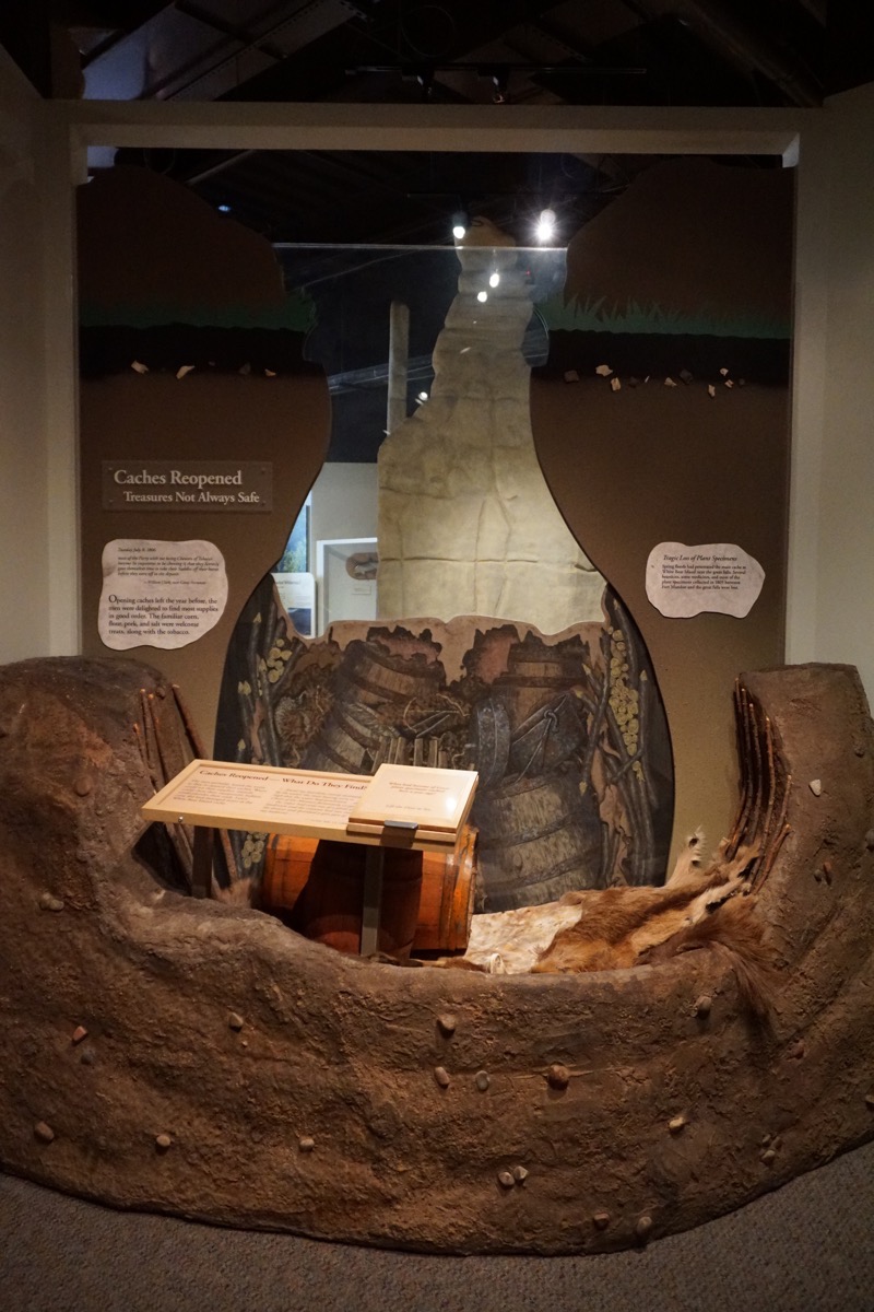
When the men opened the cache a year later, most of the supplies were still in good shape: the flour, pork, salt and tobacco were all welcome sights to see. However, spring floods had penetrated the cache and several bearskins, some medicines and most of the plant specimens that had been carefully flattened and preserved were destroyed.
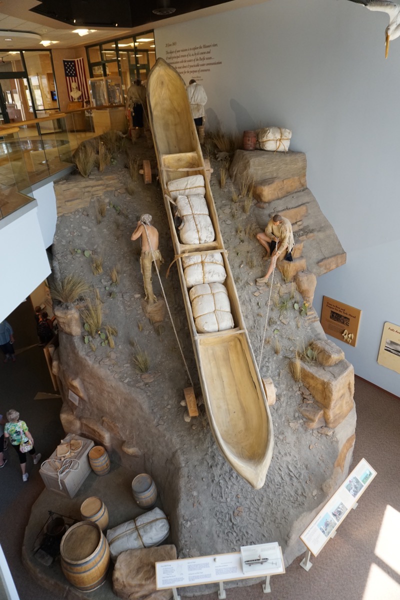
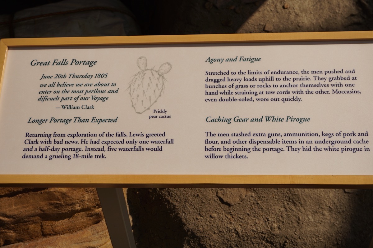
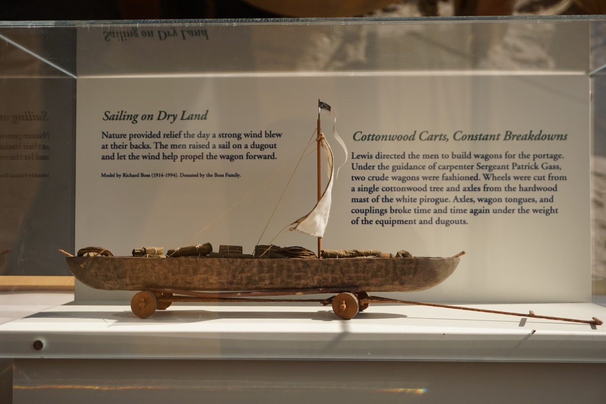
Portage of boats and supplies by land because of the FIVE sets of falls near Great Falls (Lewis and Clark only knew of one). It took one month to cross the area by land.
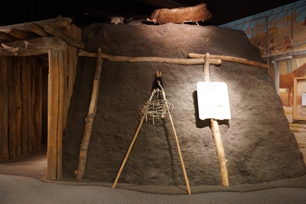
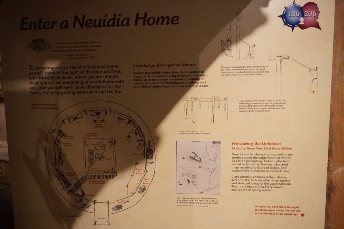
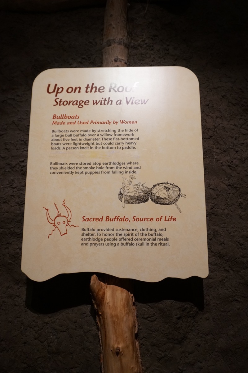
Mandan Home. These earth lodges belonged to the woman and were passed down from mother to daughter. A man usually went to live with his wife’s family, so an earth lodge was home to a group of related women and their husbands, bothers, and sons.
The GREAT Falls
We drove out to Ryan Island to see what was called the Great Falls. A dam is built over it now and most of the water is funneled to the right side and used to create electricity.
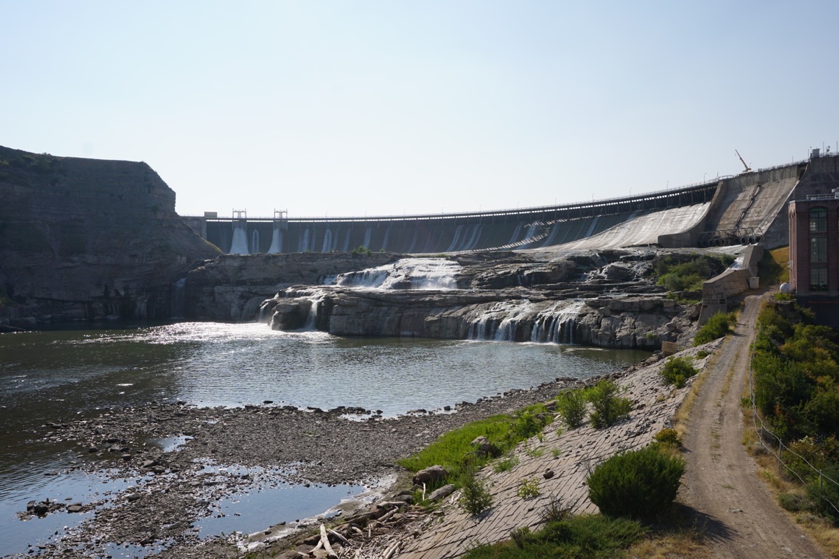
After Captain Lewis arrived at the Great Falls it was his job to measure and map them. Using a sextant and a rod, he used geometry to measure the falls. He measured the falls to be 97’ and 3/4”. Recent electronic measurements record the height of the falls as 96 feet. He did a great job!
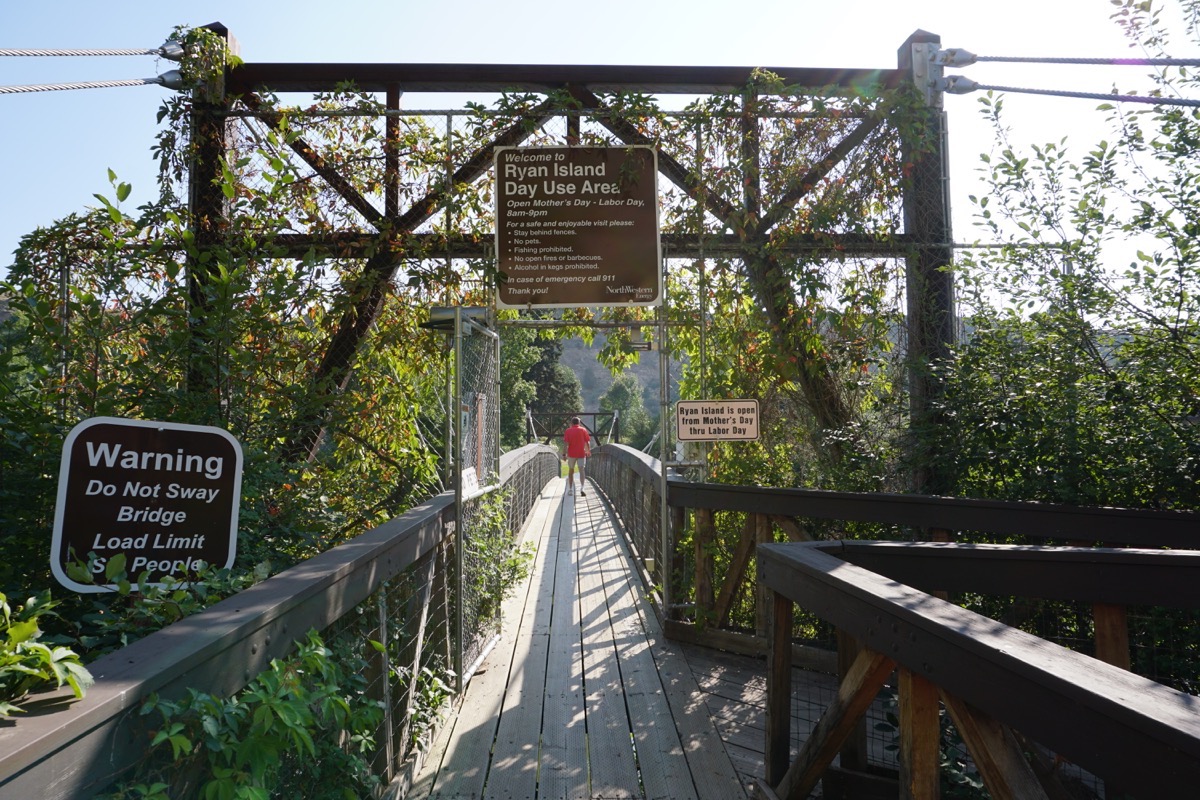
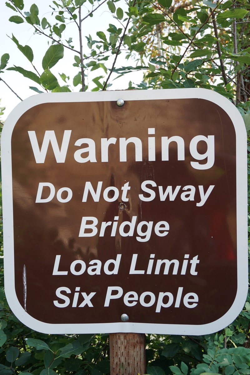
We walked across this this suspension bridge to get to Ryan Island where we could see the Great Falls. I have never been on a bridge that had so much motion when we walked (or one that said it have a load limit of SIX people).
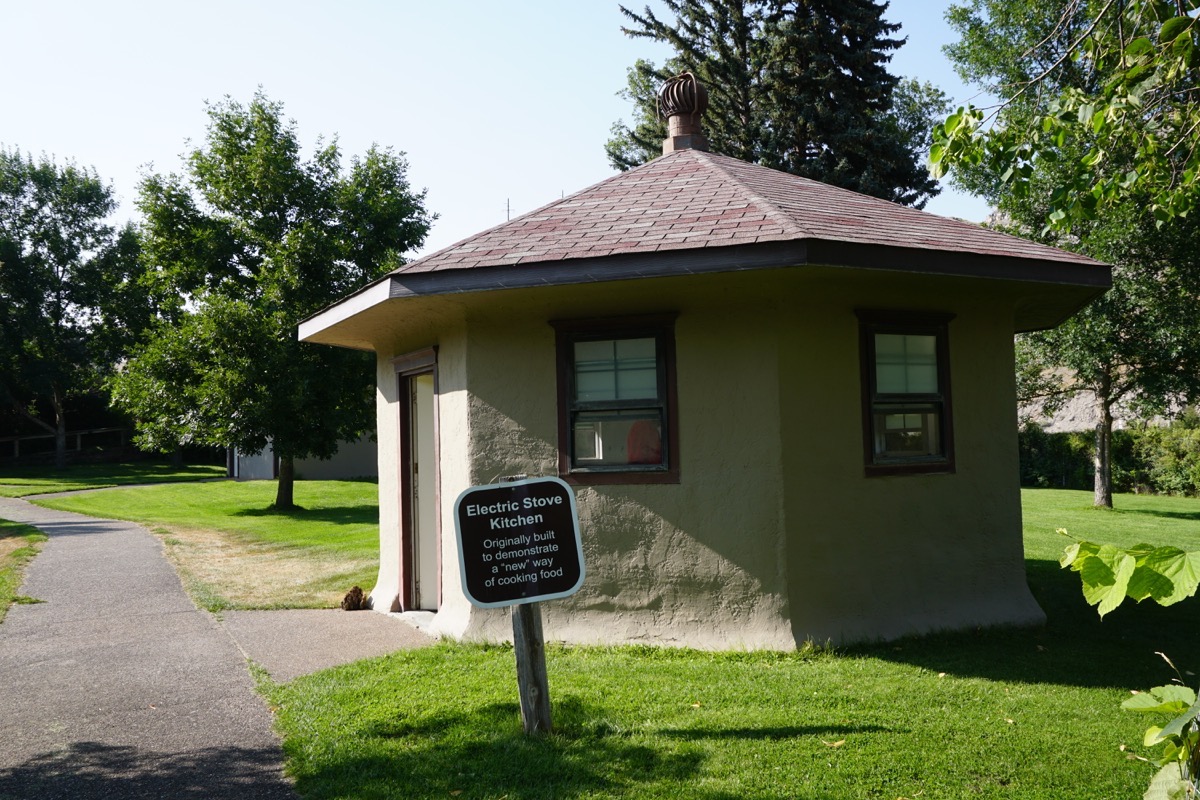
While on Ryan Island we saw this interesting building with the Electric Stove Kitchen sign. Inside were four electric stovetops on a long counter.
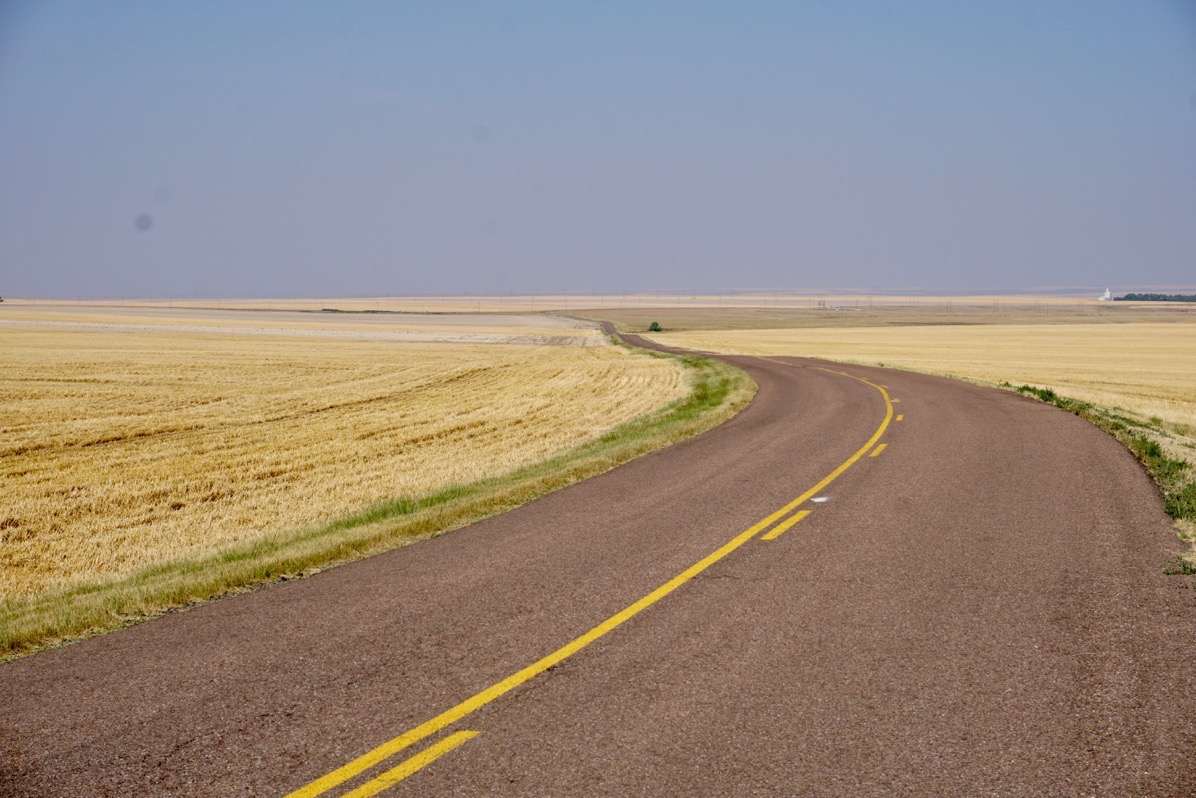
The scenery on the way to the Grand Falls
-
Day 77 - Babb to Great Falls, MT
Hwy 89 to Great Falls, Montana
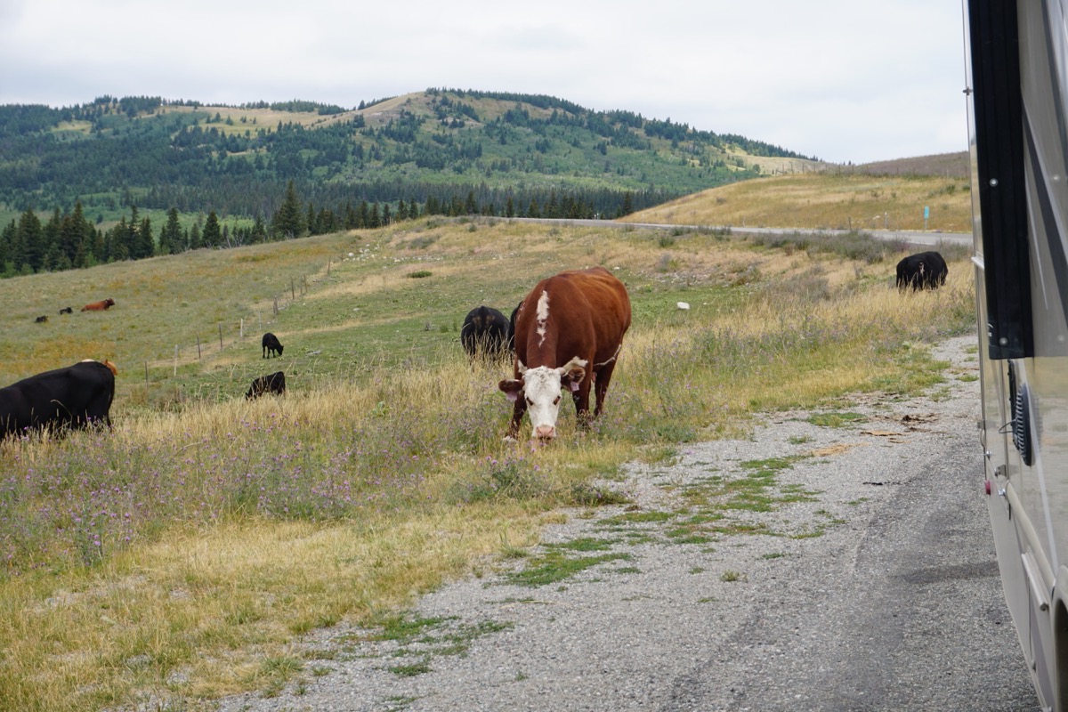
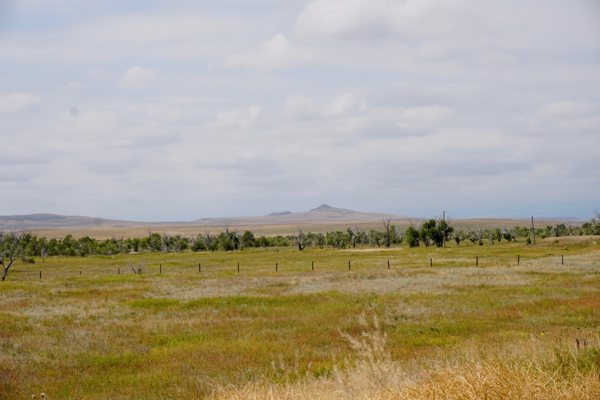
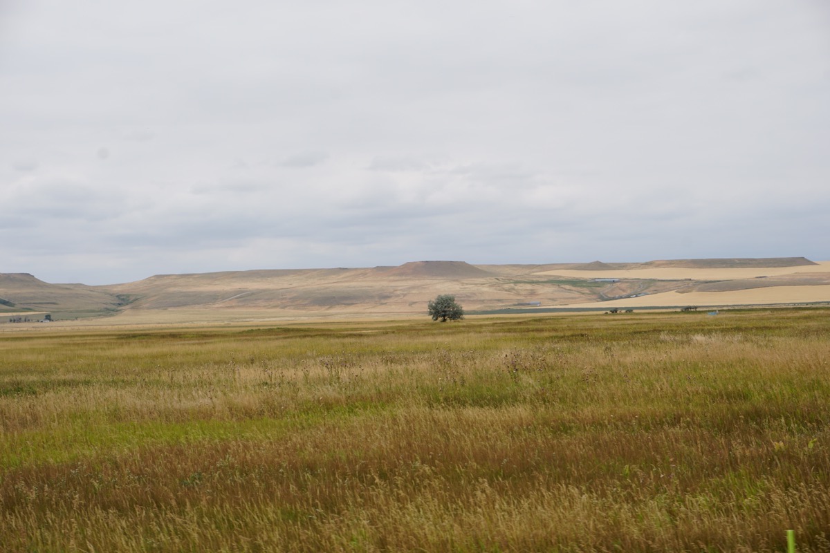
We drove from Babb to Great Falls, MT along the Lewis and Clark Trail (Hwy 89). Very rural area with wheat fields and grain silos along the way. Free range cattle area so we saw cows grazing along the highway. Very different scenery from the mountains we’ve been in for the last two months.
Trip Statistics:
- We drove the RV 153 miles and the CRV 13 miles. Trip total is 10,905 miles so far.
- We paid $2.839 per gallon for gas today. We’ve spent $3,815.97 total so far.
- We are staying at Dick’s RV Park in Great Falls, Montana tonight for $40.45. Our total is $2,339.91 or an average cost of $30.39 per night.
-
Day 76 - Glacier National Park
Glacier National Park
It rained during the night and was very windy, but when we woke up this morning, the skies were clear and it was sunny.
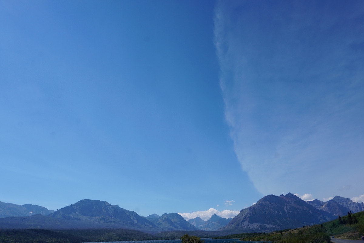
I took this picture as we were driving into the park. Neither of us have ever noticed a cloud pattern like this one before.
We drove back into Glacier National Park from St. Mary’s and drove a few miles pass Logan’s Pass where we pulled over and ate lunch. We tried to stop again today at Logan’s Pass, but there were no parking spaces available.
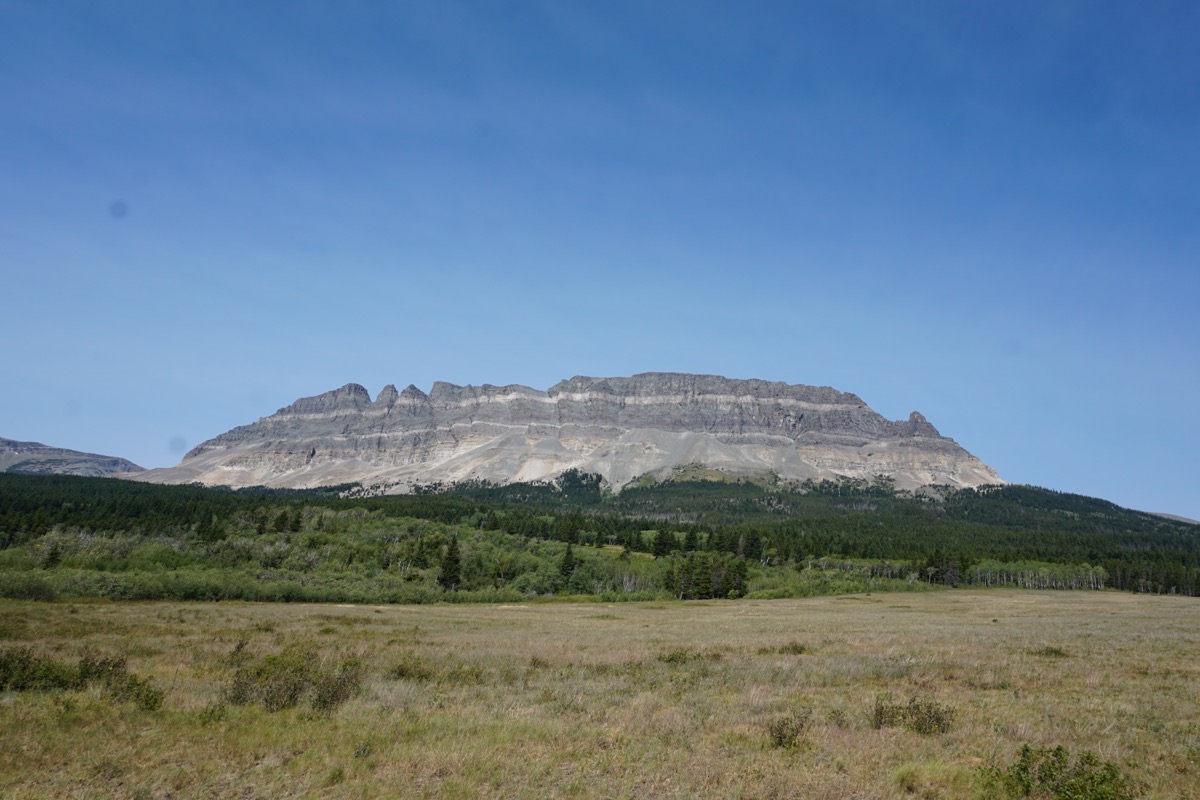
First rock formation we saw when entering from St. Mary’s side of Glacier
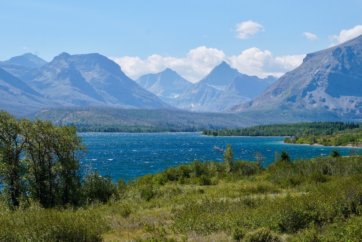
St. Mary Lake
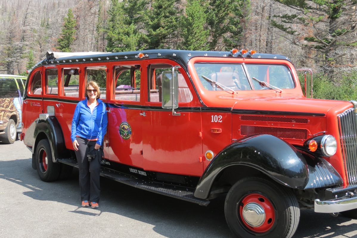 This Red Bus is one of many open-air busses that provide tours through the park. They were built by the White Motor Company between 1936 and 1939 and can hold up to 17 passengers.
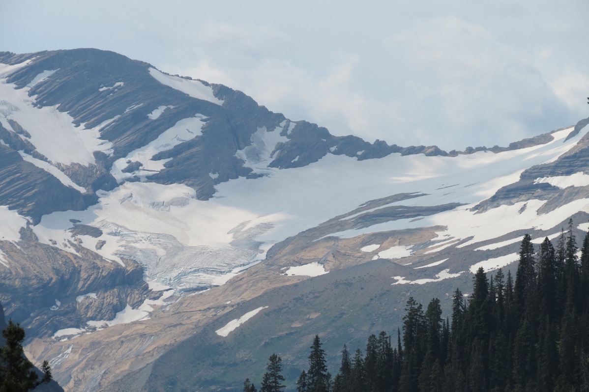
Jackson Glacier
Information at the Visitor’s Center claims that in the next 10-12 years there will be no glaciers left within the park.
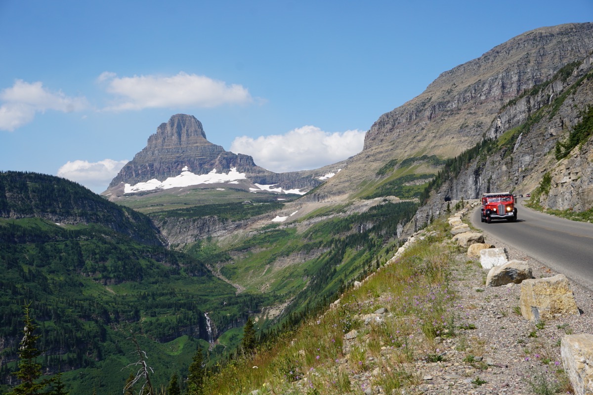
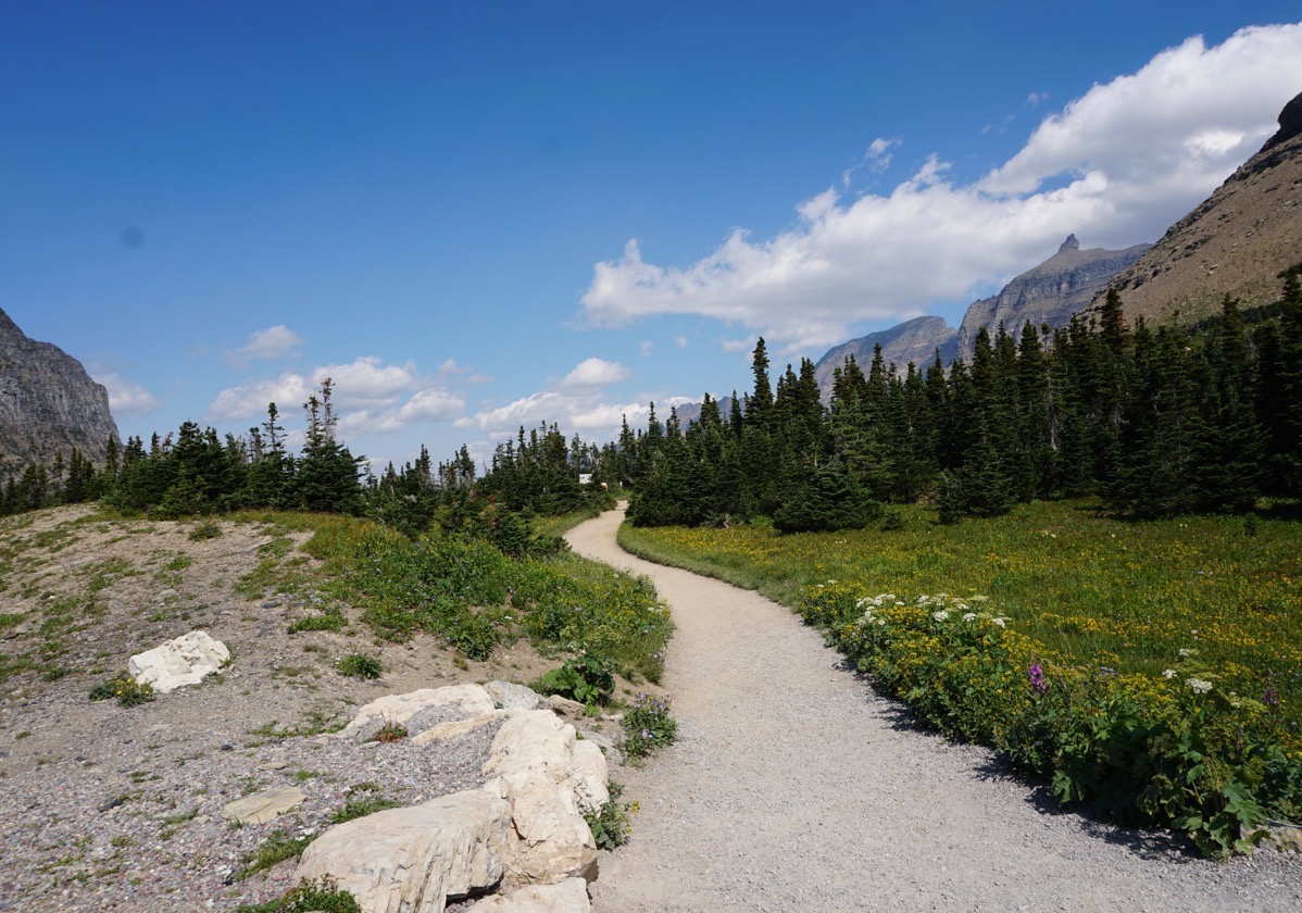
Hidden Lake Nature Trail starts across the road from the Logan Pass Visitor’s Center
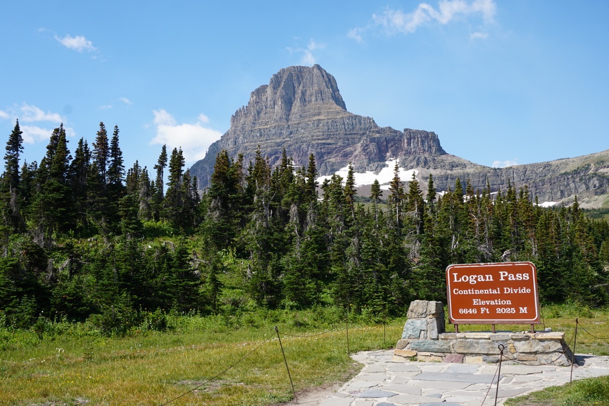
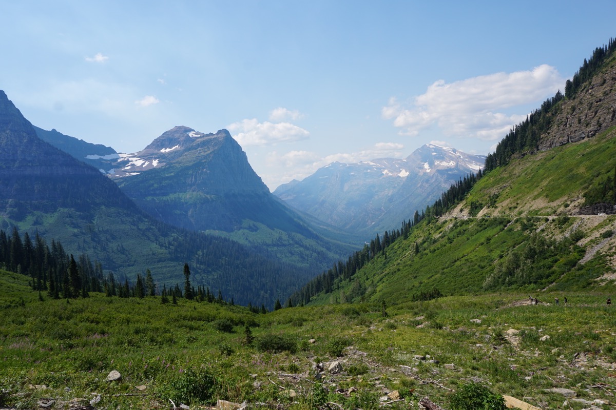
Our view for lunch
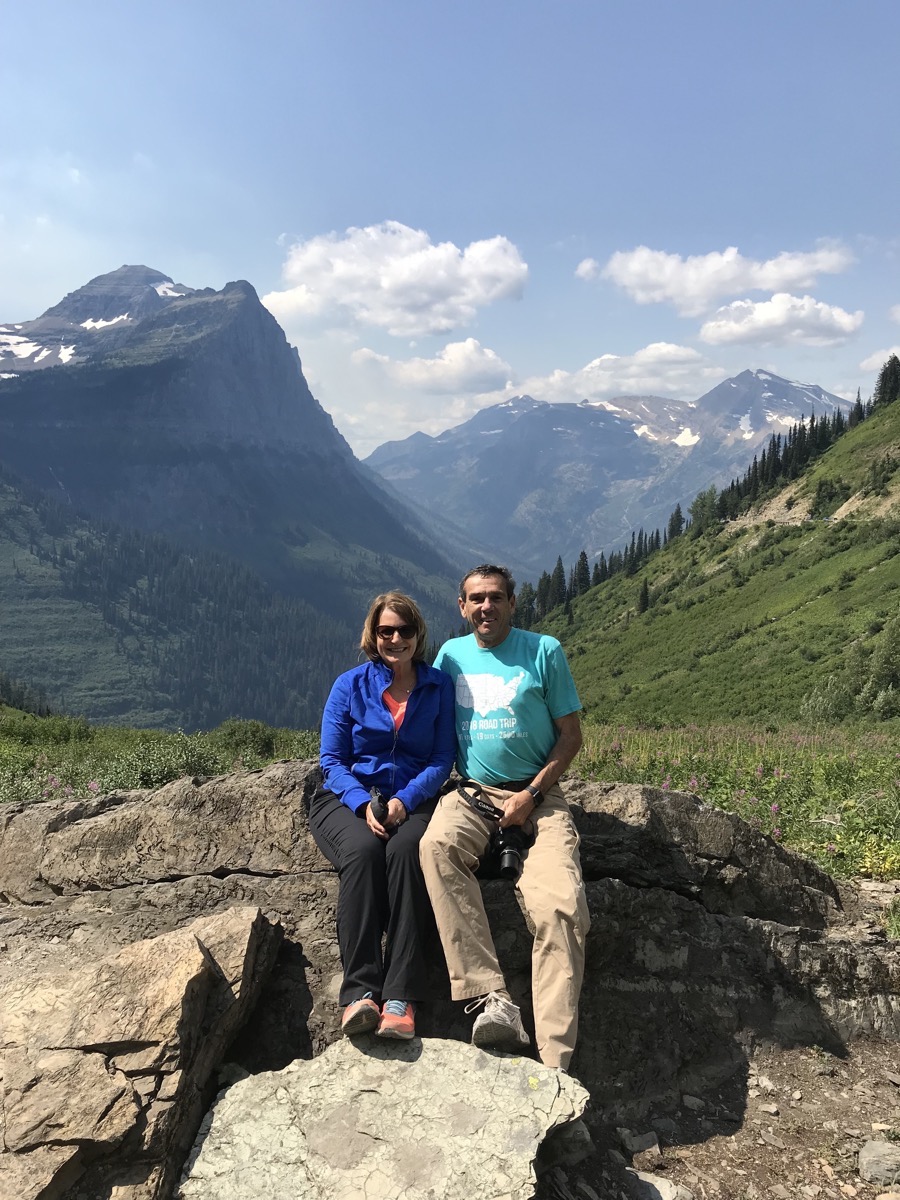 Baring Falls and Sun Point Hikes
Today’s hikes were much more moderate than yesterday’s! We only hiked a total of 3.75 miles.
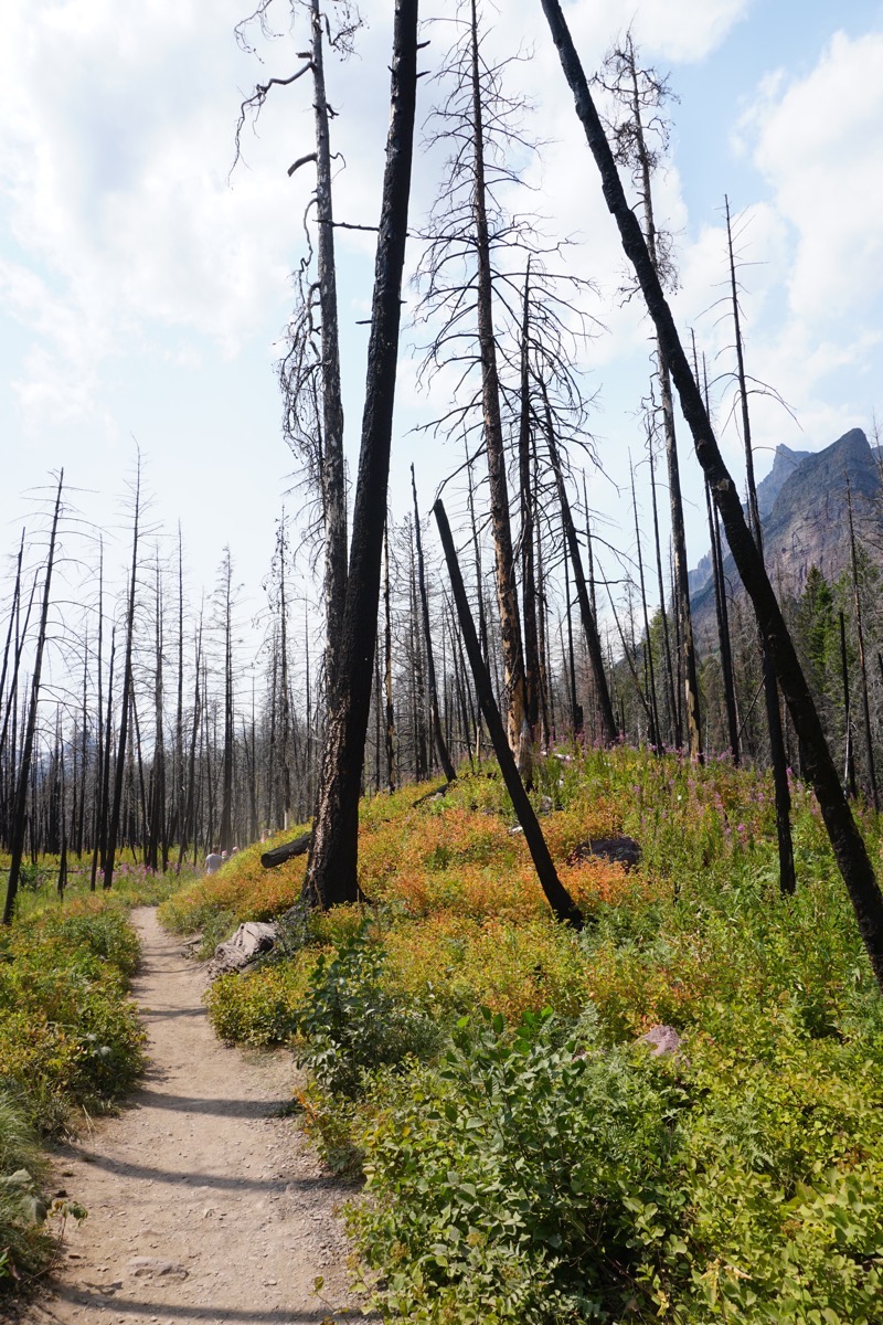
The path to Baring Falls was through the portion of the park that was burnt in the 2015.
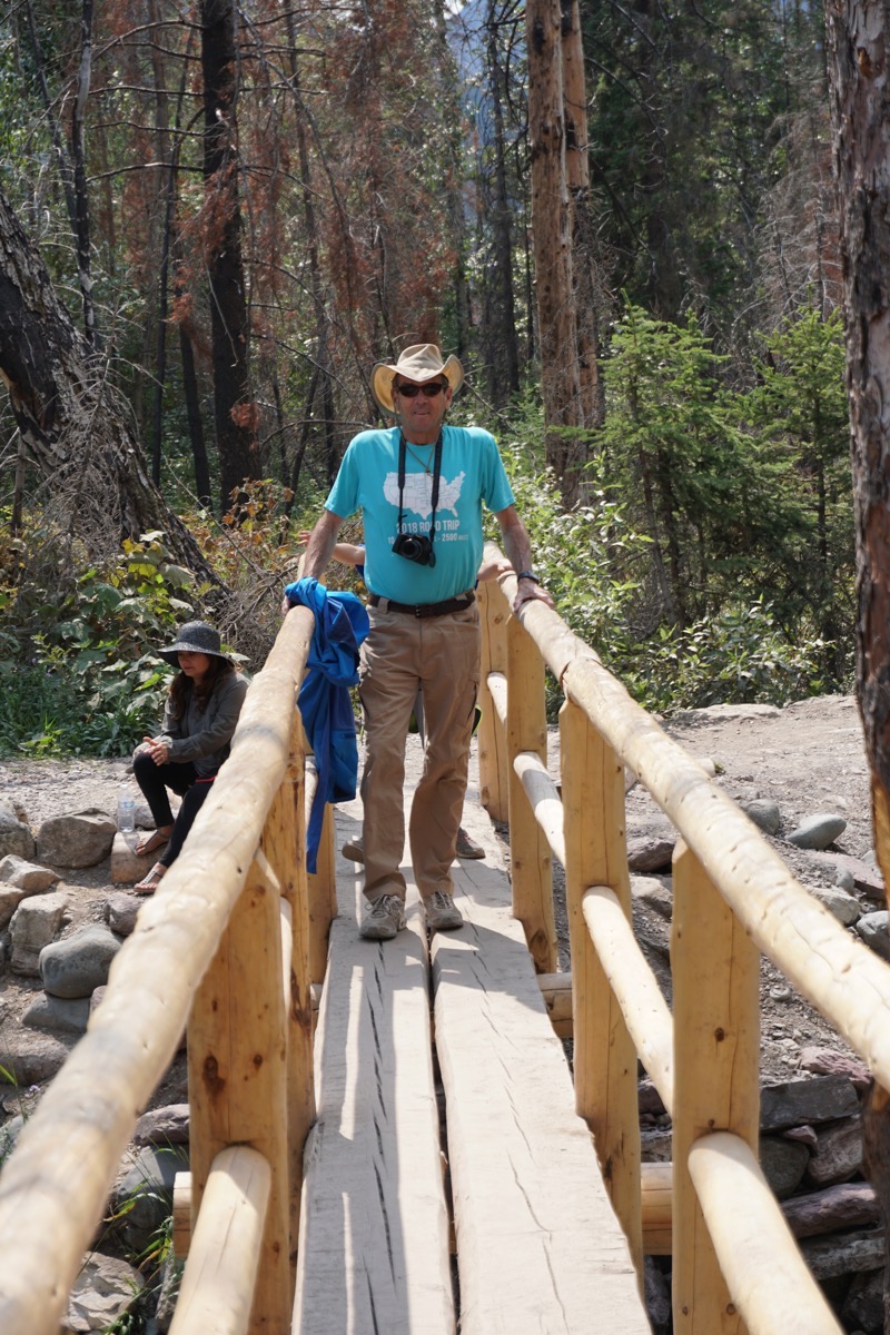
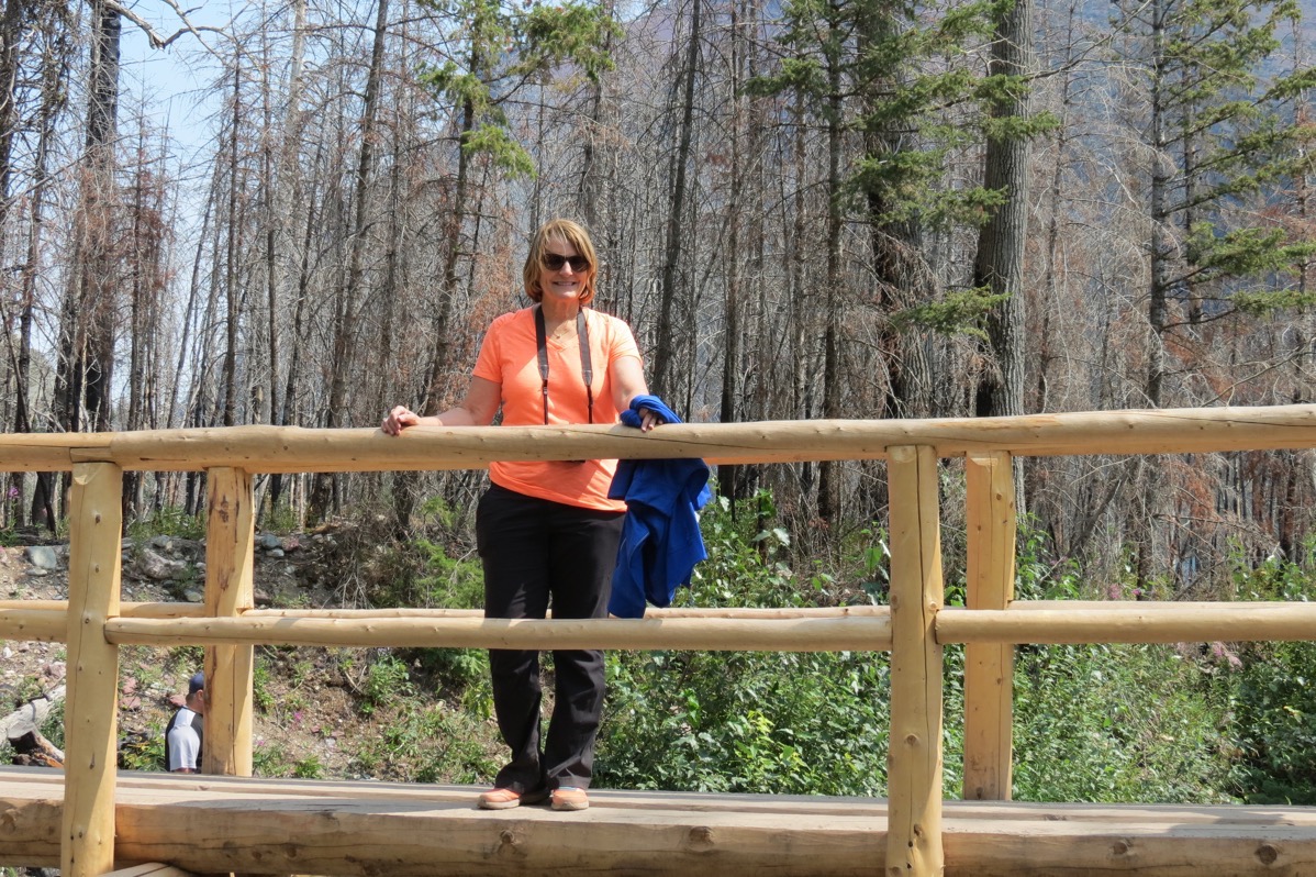
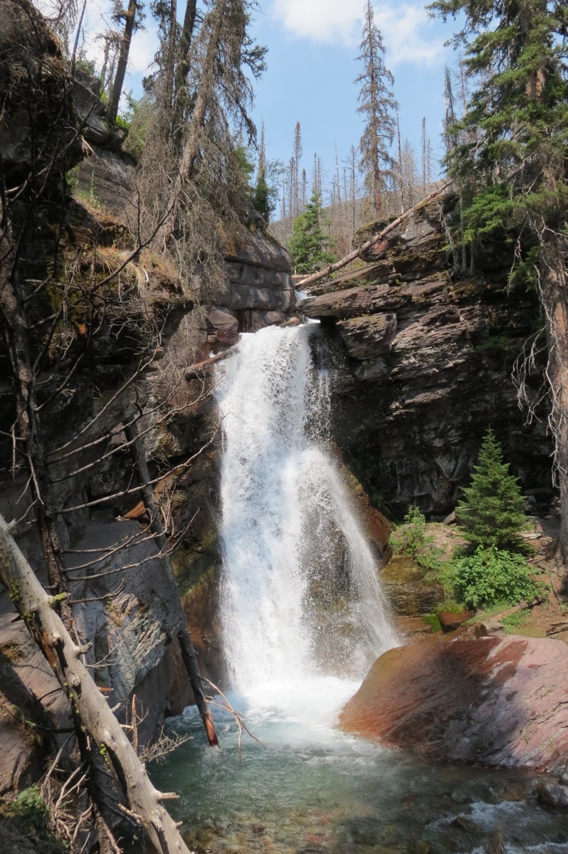
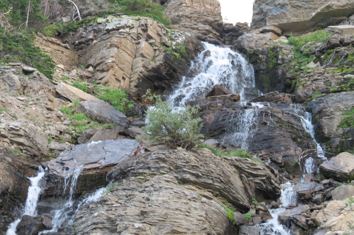
Baring Falls
After Baring Falls we hiked to Sun Point.
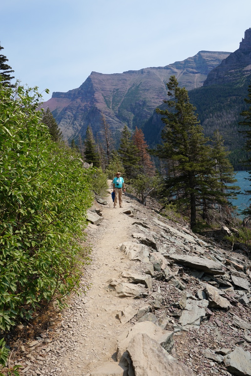
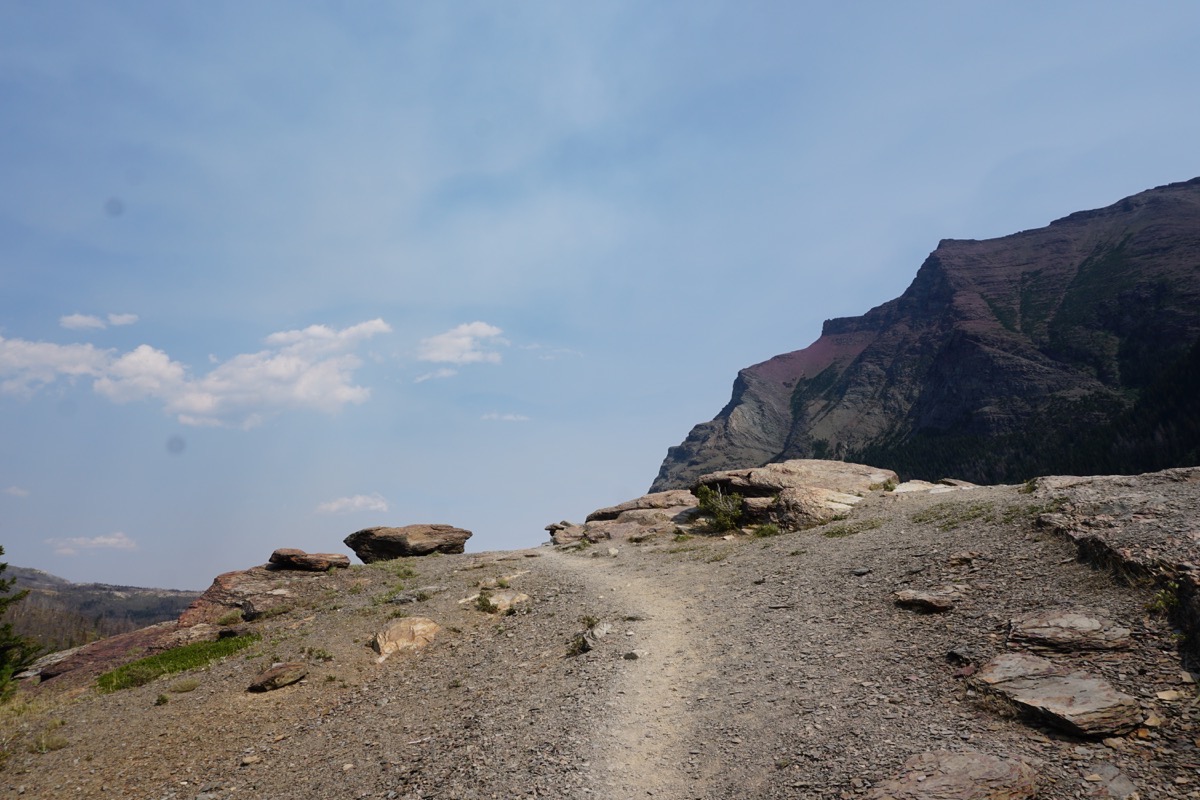
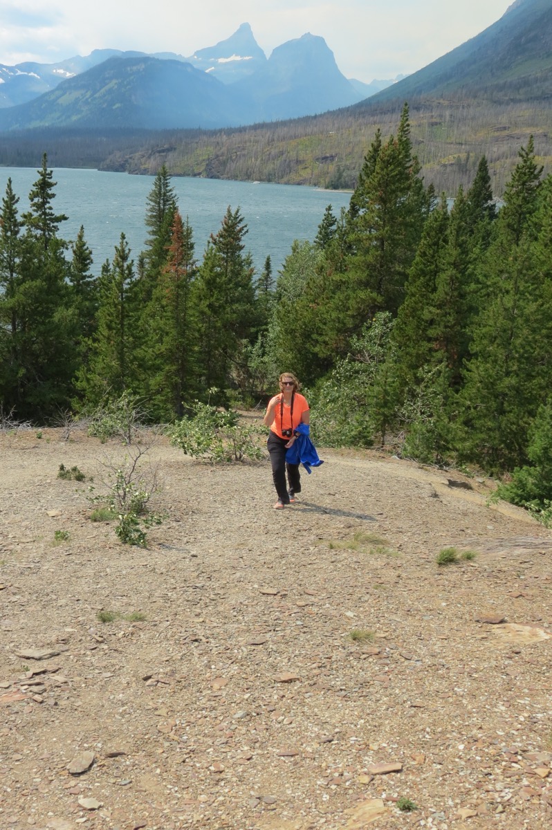
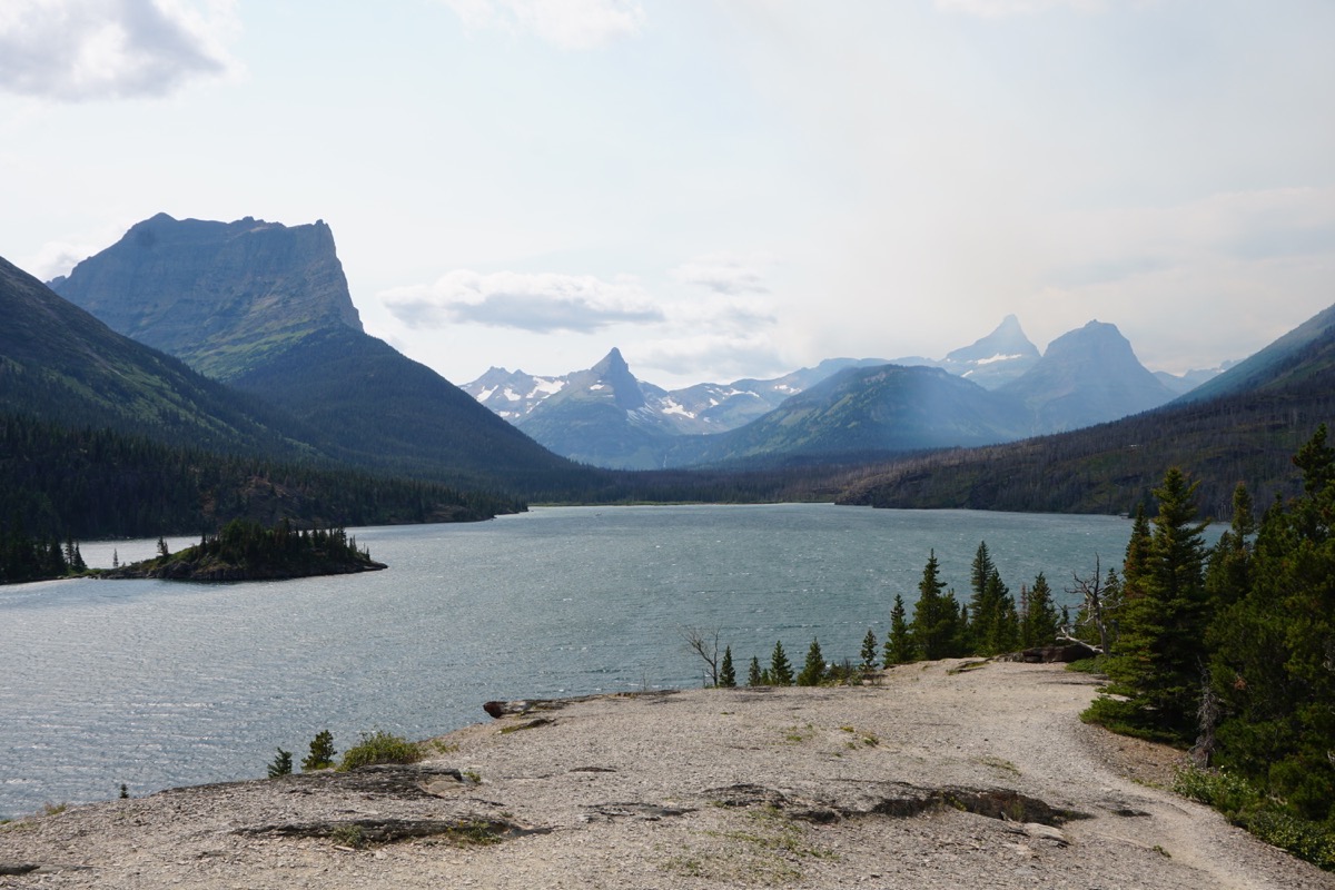
The view from Sun Point Gorge
Johnson’s of St. Mary Campground
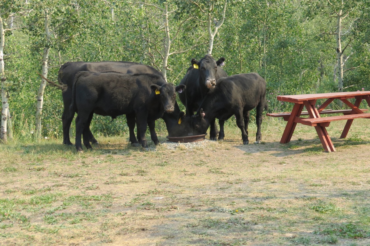
Look who was waiting for us back at the campground!
-
Day 75 - Glacier National Park's Going-to-the-Sun-Road
Going-to-the-Sun-Road
Crossing Glacier National Park from the east entrance at St. Mary to the west entrance near the community of West Glacier the Going-to-the-Sun-Road is a scenic landmark. It is the only road in the US with three designations: National Civil Engineering Landmark, National Register of Historic Places and a National Historic Landmark.
It is a paved 50-mile road, completed in 1930, that is narrow, steep and winding, but has numerous pullouts for viewing the scenery. The last time we were here in July of 2007 the road was closed near the Logan Pass, so we entered from the west and then turned around and drove back.
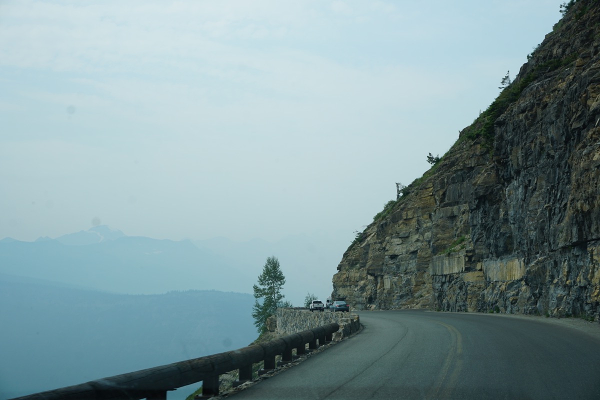
It was very hazy this morning from the wildfire smoke (but there are no fires in Glacier National Park).We were about 15 miles into the park this morning when we saw the destruction of previous fires in 2015 and 2017.
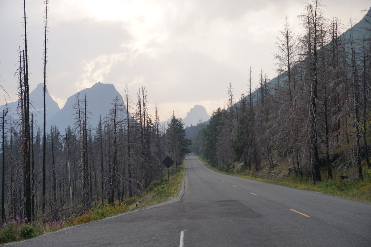
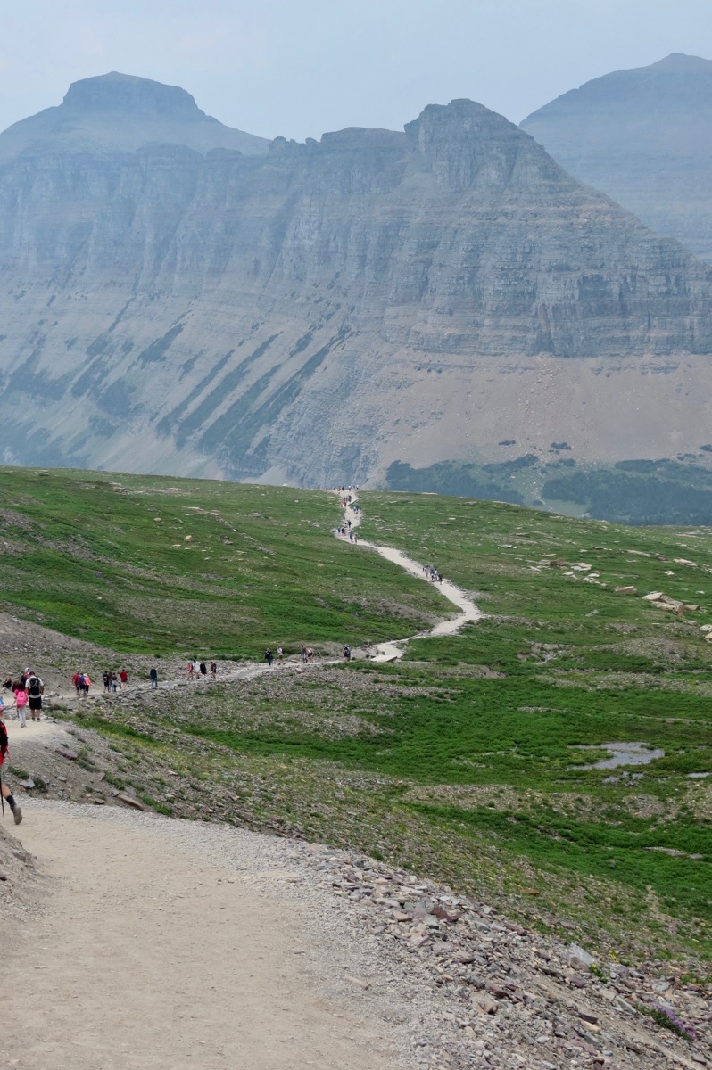
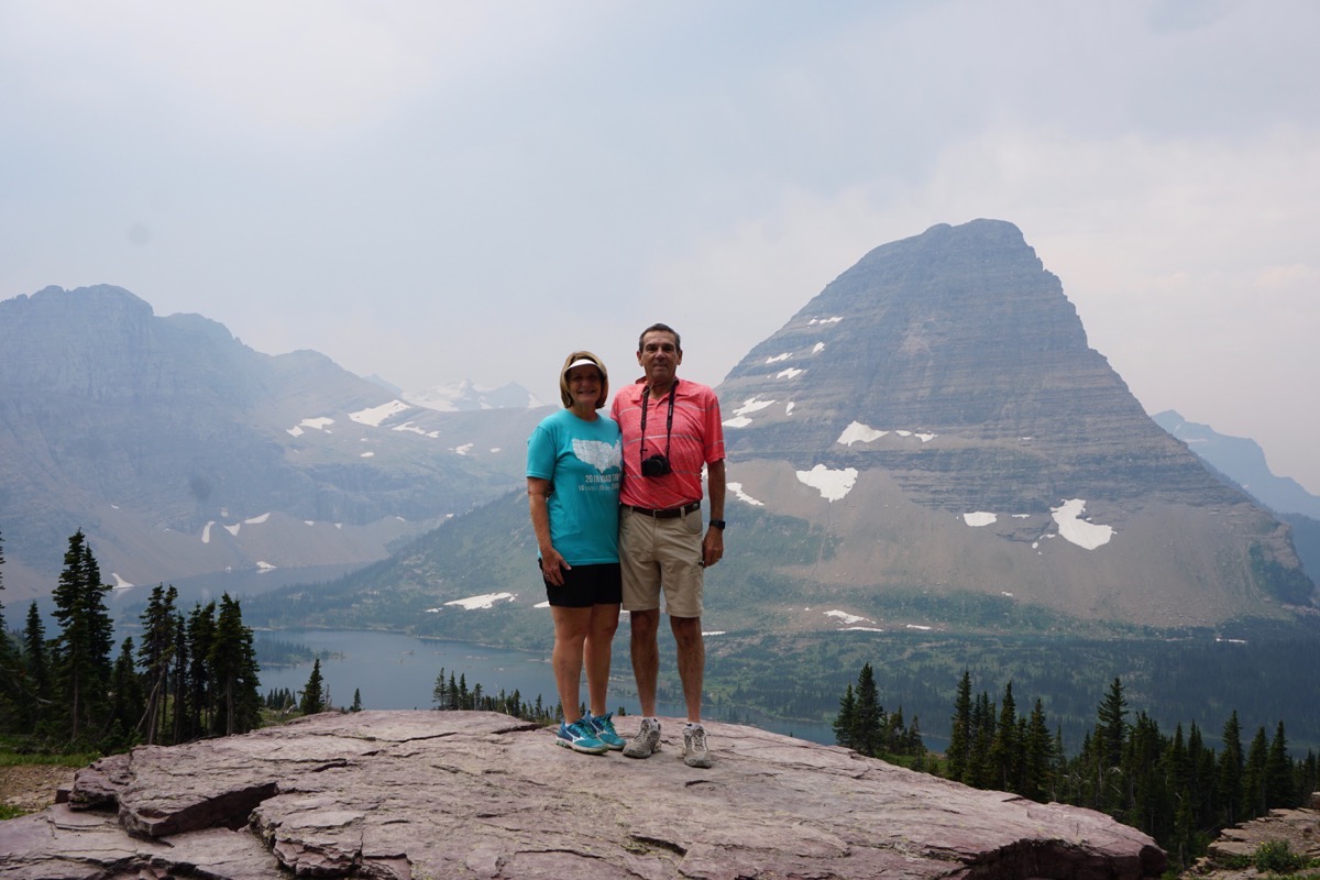
We drove the Going-to-the-Sun highway all the way to the west side of the park and back again which was 100 miles. On the way going, we stopped at Logan’s Pass Visitor’s Center and hiked a beautiful, but strenuous, 5.75 mile hike. For the first 1.2 miles of the hike there were lots of people hiking the trail, but from there down to the lake the crowd thinned out considerably.
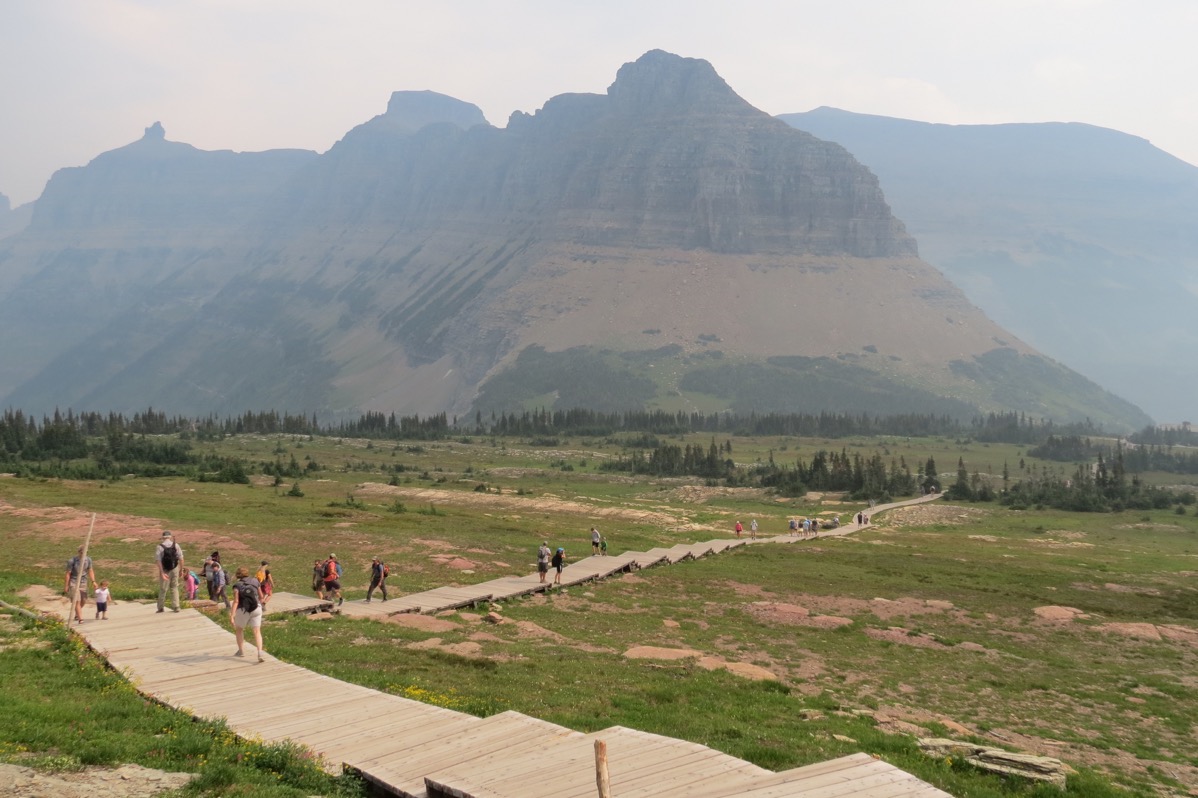
The first .5 miles of the hike was on a boardwalk, but had many steps that were too high to walk up easily. After that it changed to a stone and dirt path.
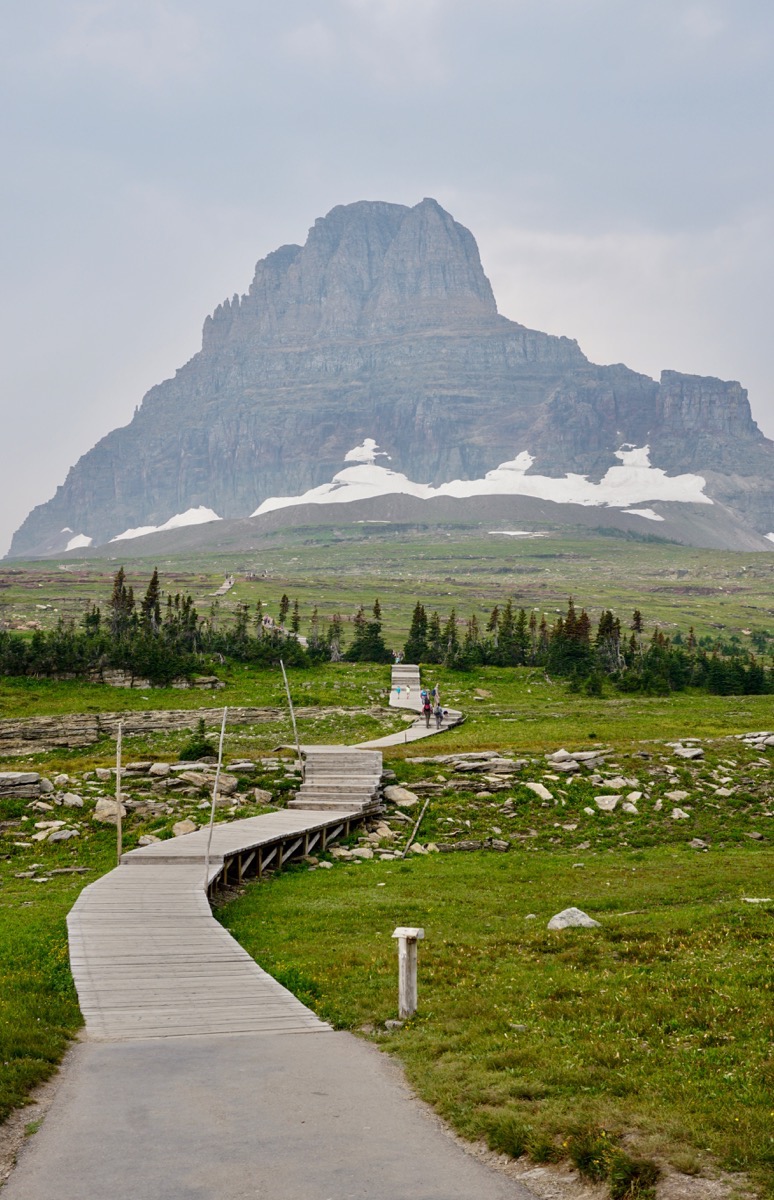
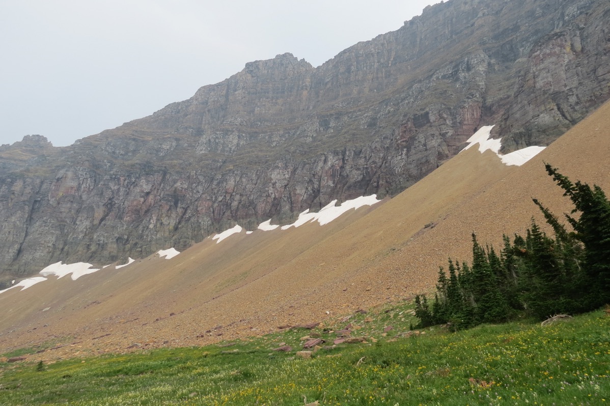
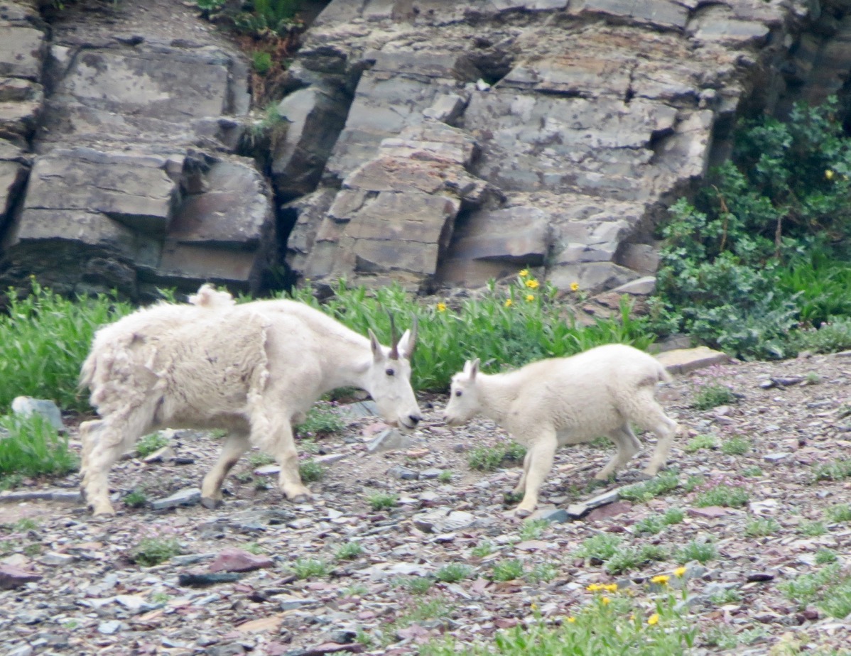
These goats were up on the hill above where we were hiking.
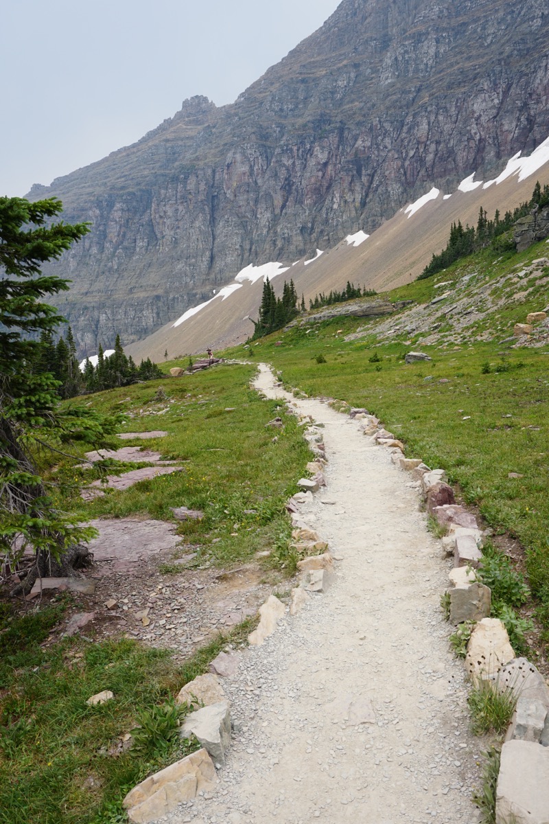
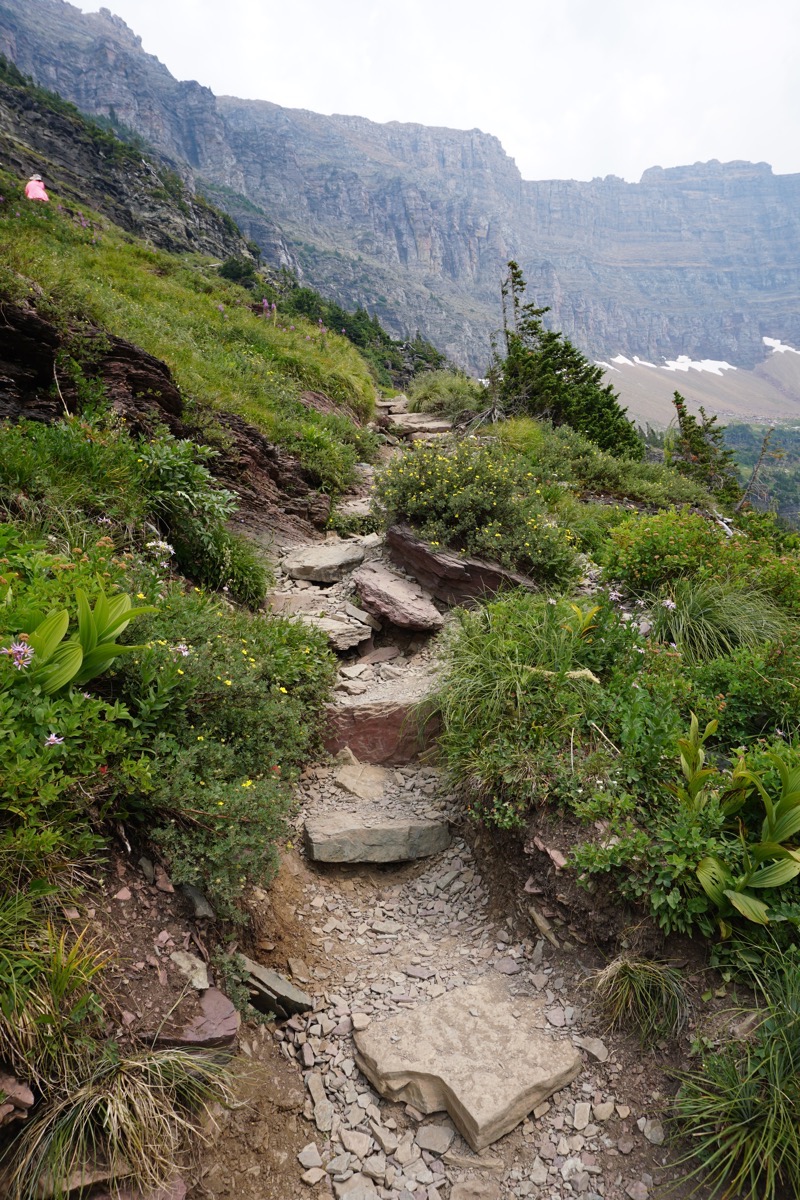
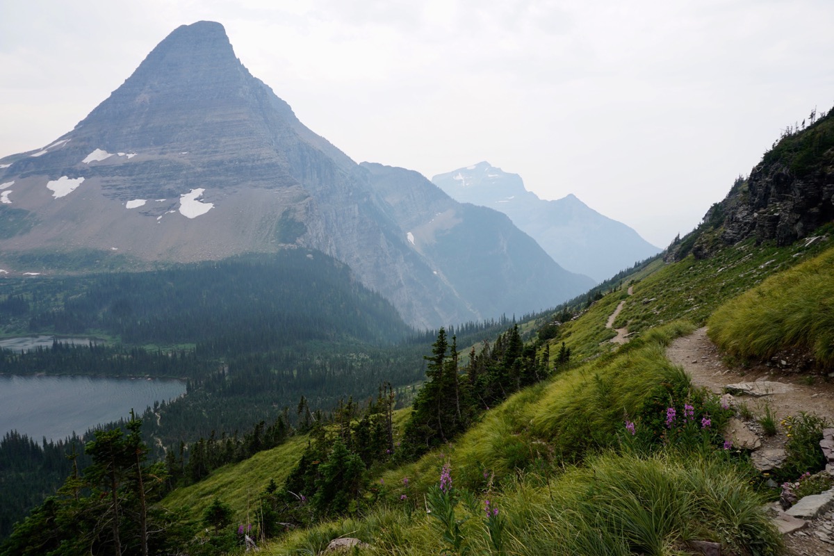
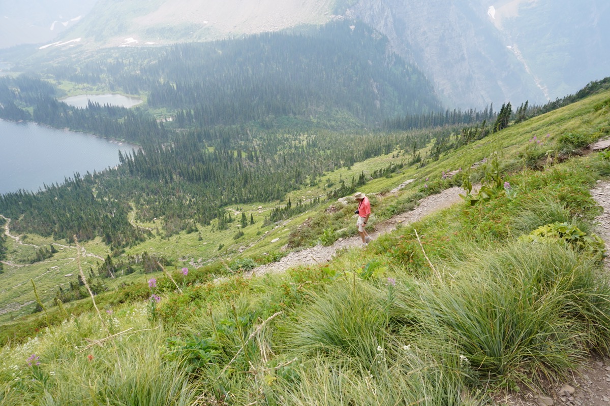
Tom is walking down to the lake. Look carefully at the trail in front of him that goes all the way down to the lakes,still quite a distance away.
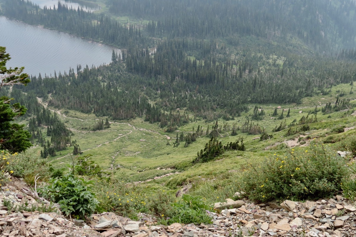
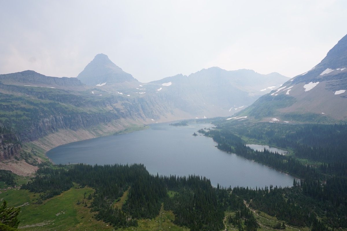 The view of the lake was beautiful, but it was a shame that it was such a smokey day.
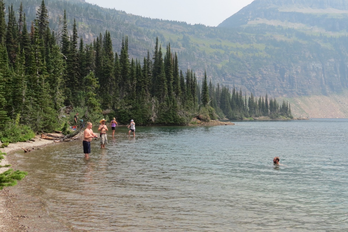
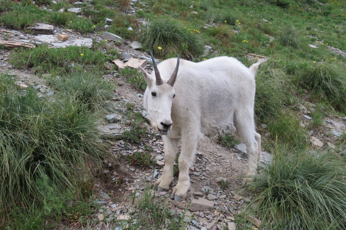
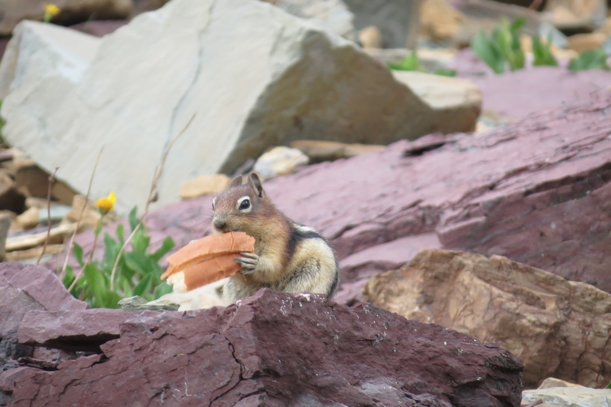
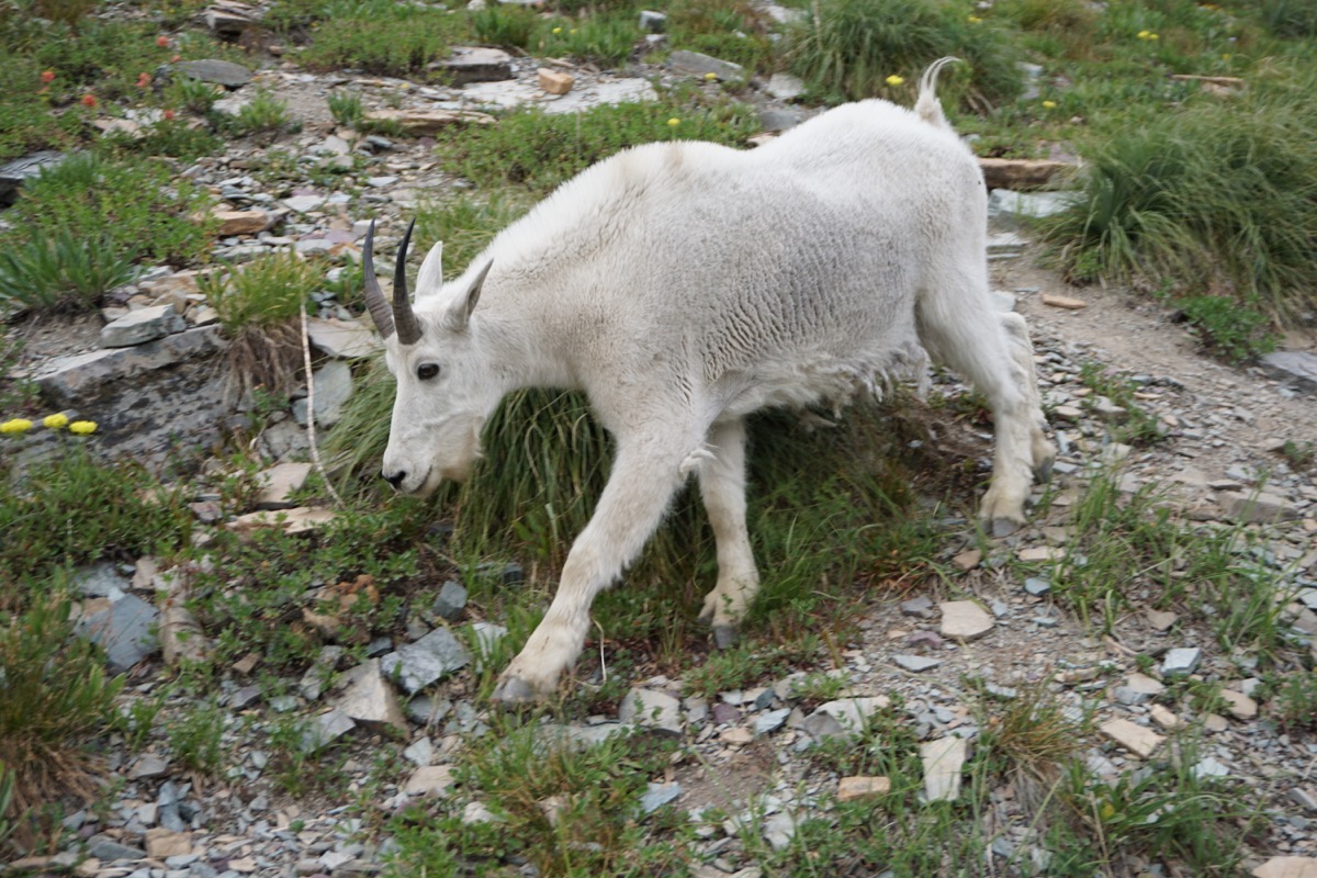
Look who met on the way back up the trail!
More hazy sights while driving the Road-to-the-Sun Highway
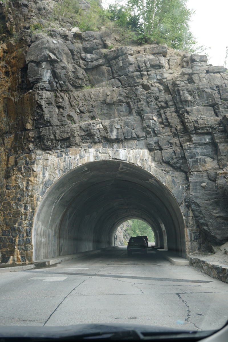
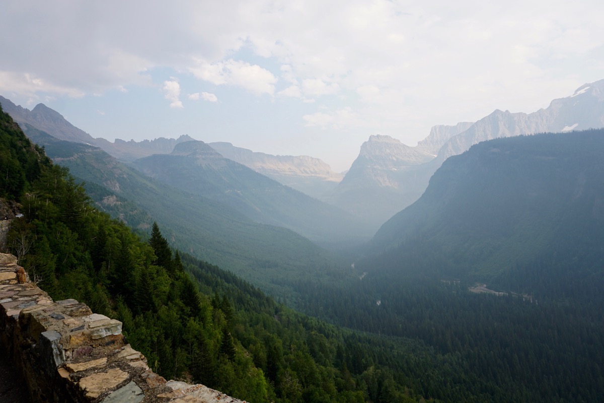
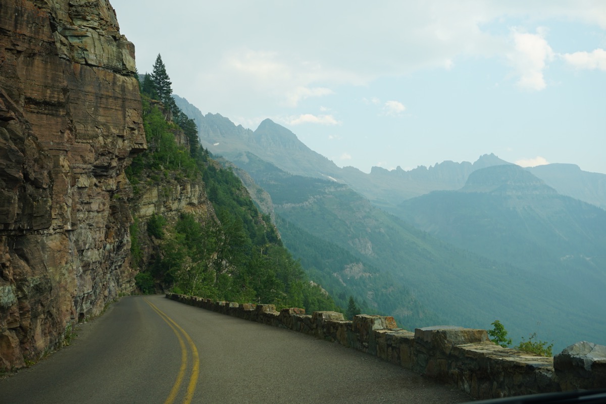
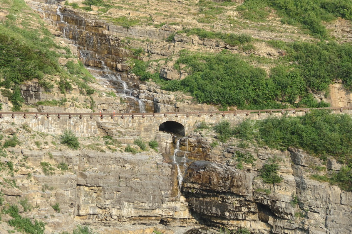
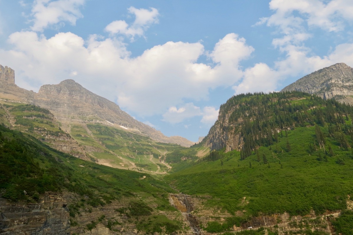
We are staying the Johnson’s of St. Mary Campground
-
Day 74 - Back in the Lower 48!
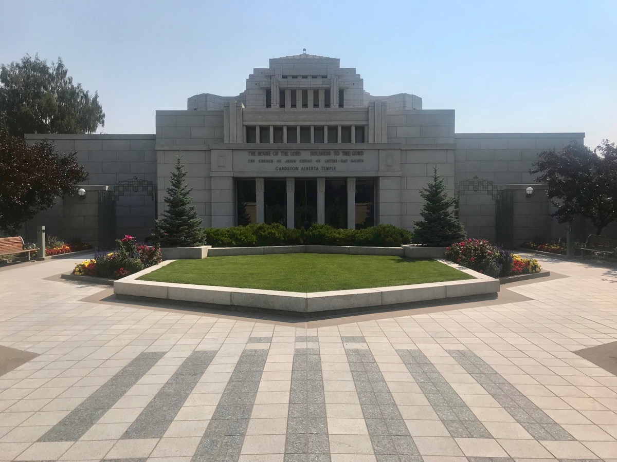
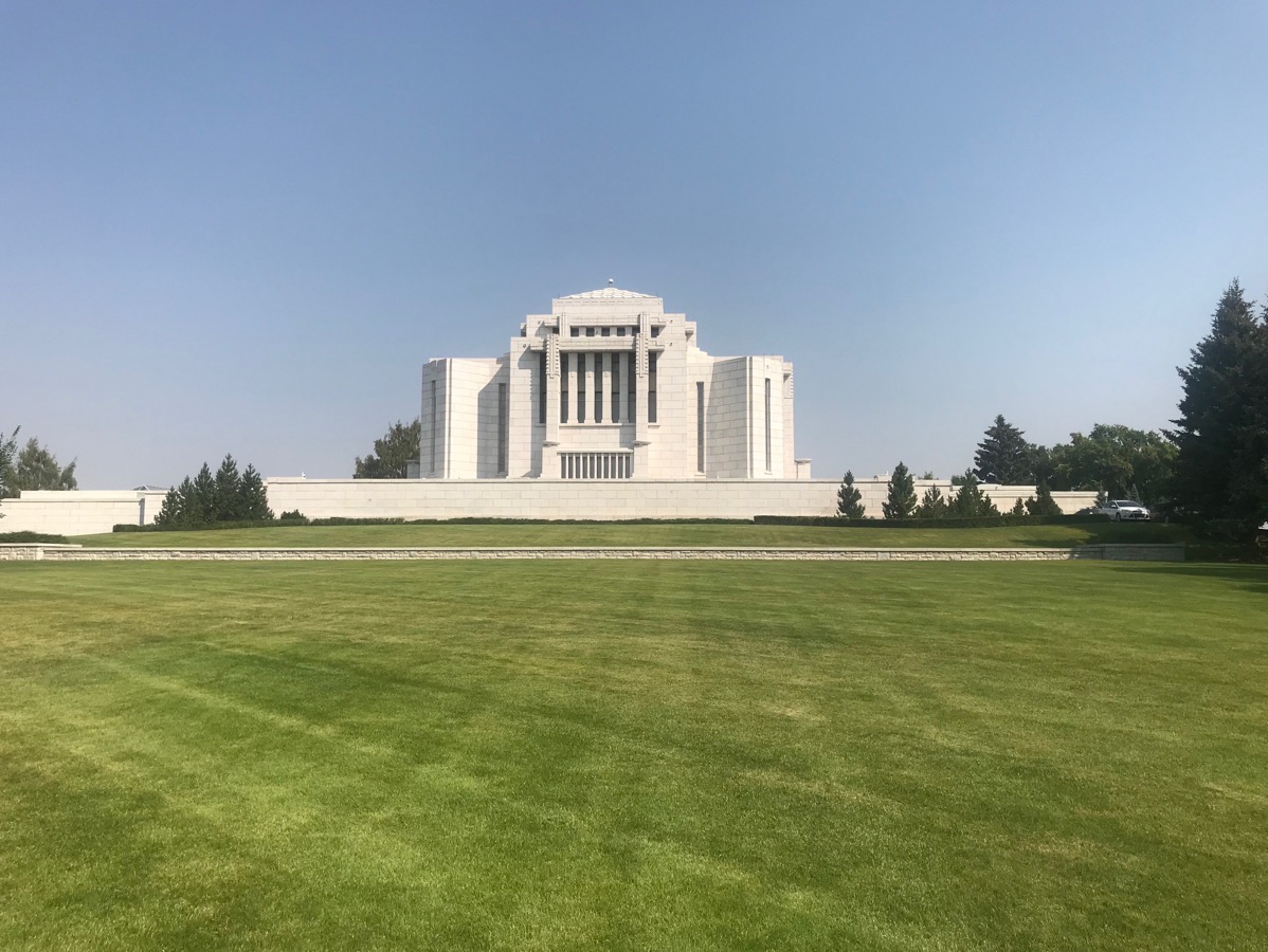
Cardston, Alberta Mormon Temple
This morning we went to the Visitor’s Center of the Cardston Mormon Temple and watched a short slide presentation of it being built. It was completed in 1923 and was the first Mormon temple in Canada.
Waterton Lakes National Park
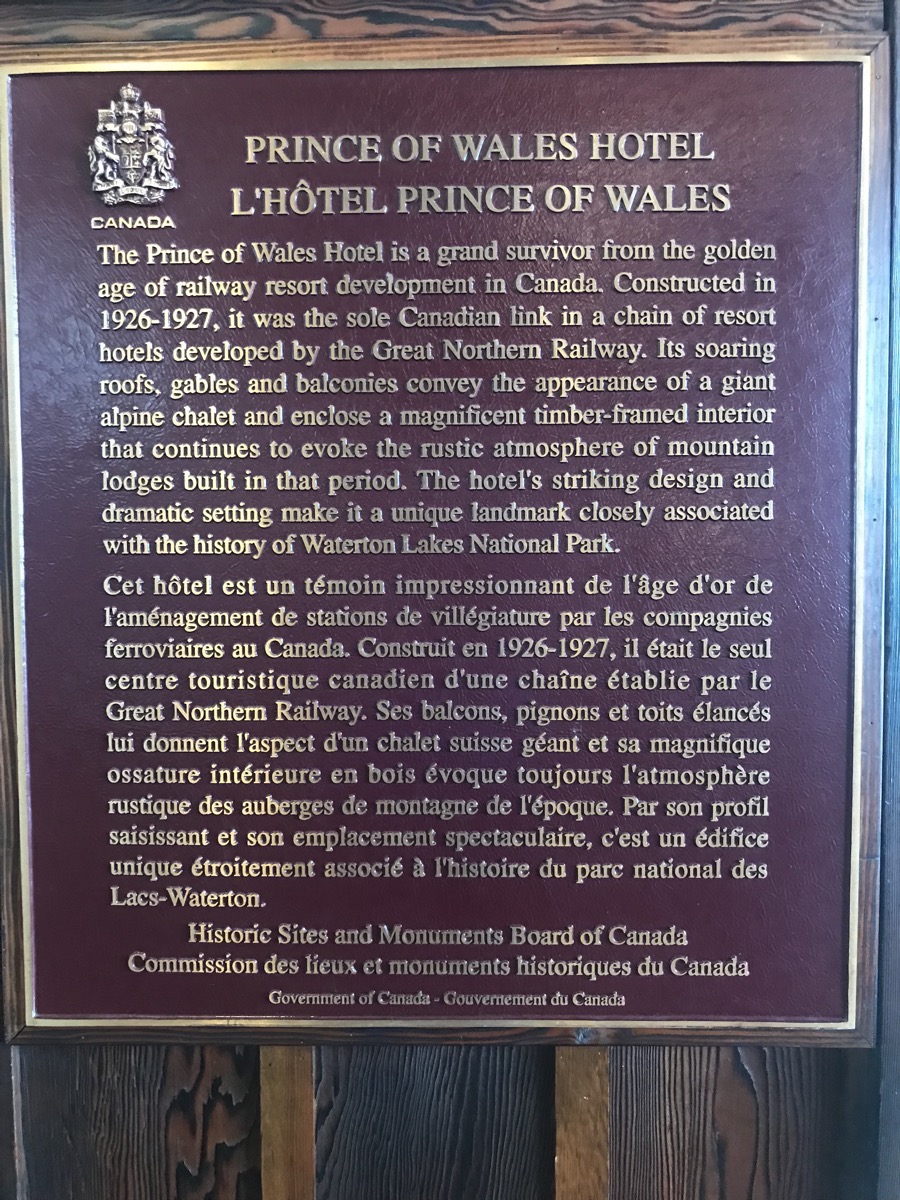
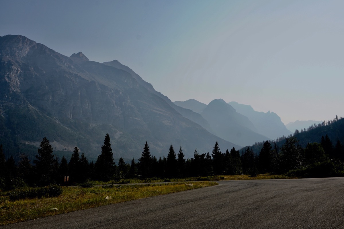
Waterton Lakes National Park is located on the Canadian side of Glacier National Park. While we were still on that side of the border, we decided to drive into that side of the park. The scenery is magnificent, but the haze was so thick I could not get good pictures.
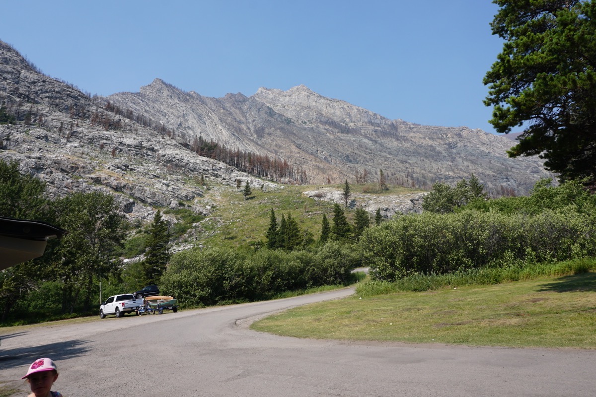
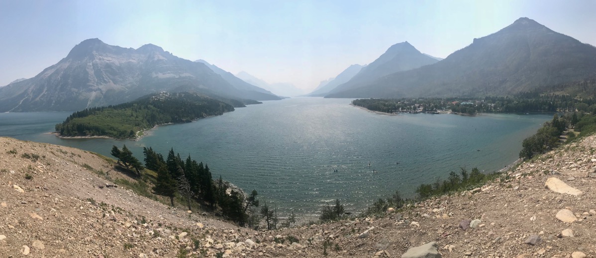
The view from the back of the Prince of Wales Lodge
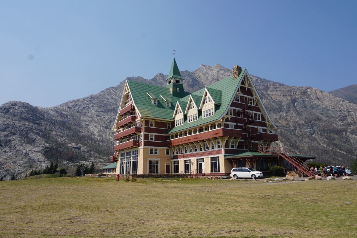
The back of the lodge.
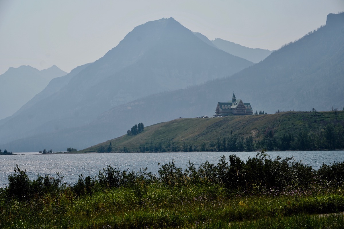
Can you imagine how beautiful this view would be on a clear day?
We are back in the lower 48!
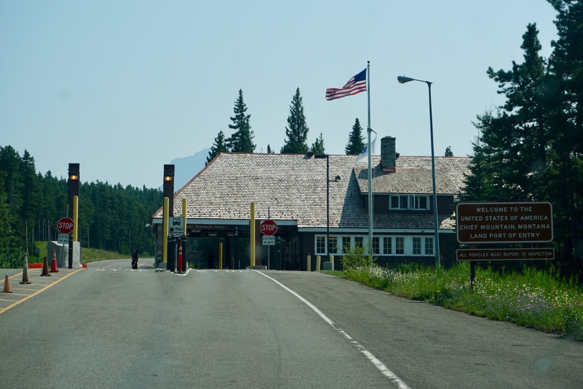
We crossed the border back into the United States at 3:00 today after spending 58 days above the lower 48 states!
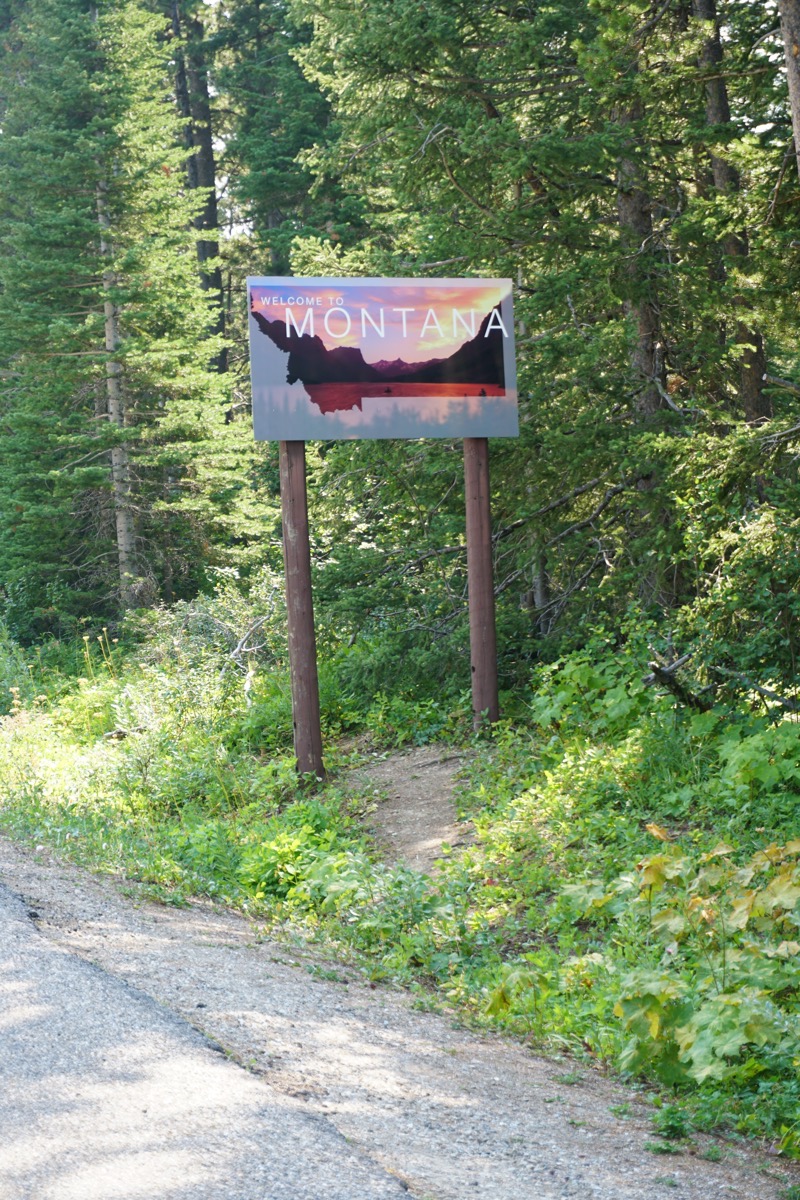
We are now in Montana.
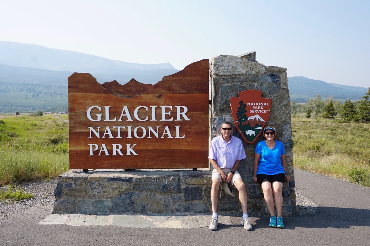
Glacier National Park
We are staying at the Johnson’s of St. Mary Campground right outside the east entrance to Glacier National Park. We drove five miles into the park this evening on the Going to the Sun Road, but plan to drive the entire road tomorrow . It is very hazy.
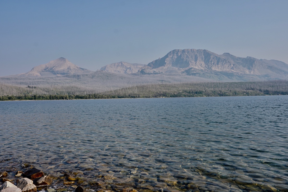
St Mary Lake
Trip Statistics
- We drove 81 miles in the RV and 22 miles in the CRV. Total trip mileage is now 10,589.
- We paid $3.449 for gas today in St. Mary’s. Total gas expense is now $3,720.32.
- Our campground tonight is $52.24. Total campground cost is now $2,194.98.
-
Day 73 - Calgary to Cardston, Alberta
Calgary, Alberta
This morning we drove the camper to get gas and groceries while leaving the car at the campground. On the way there (about 5 miles away), a truck pulled up beside us and asked it we were missing our car. The tow bar for the car was dragging on the concrete behind us. Tom pulled over and put it back in the storage position. We purchased our gas and groceries and drove back to the campground to get the car. Once there, we realized that the tow bar was dragging again on the way back and this time, the part that hooks onto the car was missing.
Luckily, Calgary is a big city! We called around and couldn’t get the part for a week, but were able to buy a whole new one. As expensive and unlucky as that was, at least we had an option. If it had happened earlier in any number of places we’ve been—in the middle of NOWHERE- we would have had NO options other than to drive each vehicle separately, and what fun would that have been? Gas is already ridiculously expensive here!
In a separate incident today a rock hit the CRV windshield and made a little crack. We were able to get that fixed right away also. It’s only money, right???
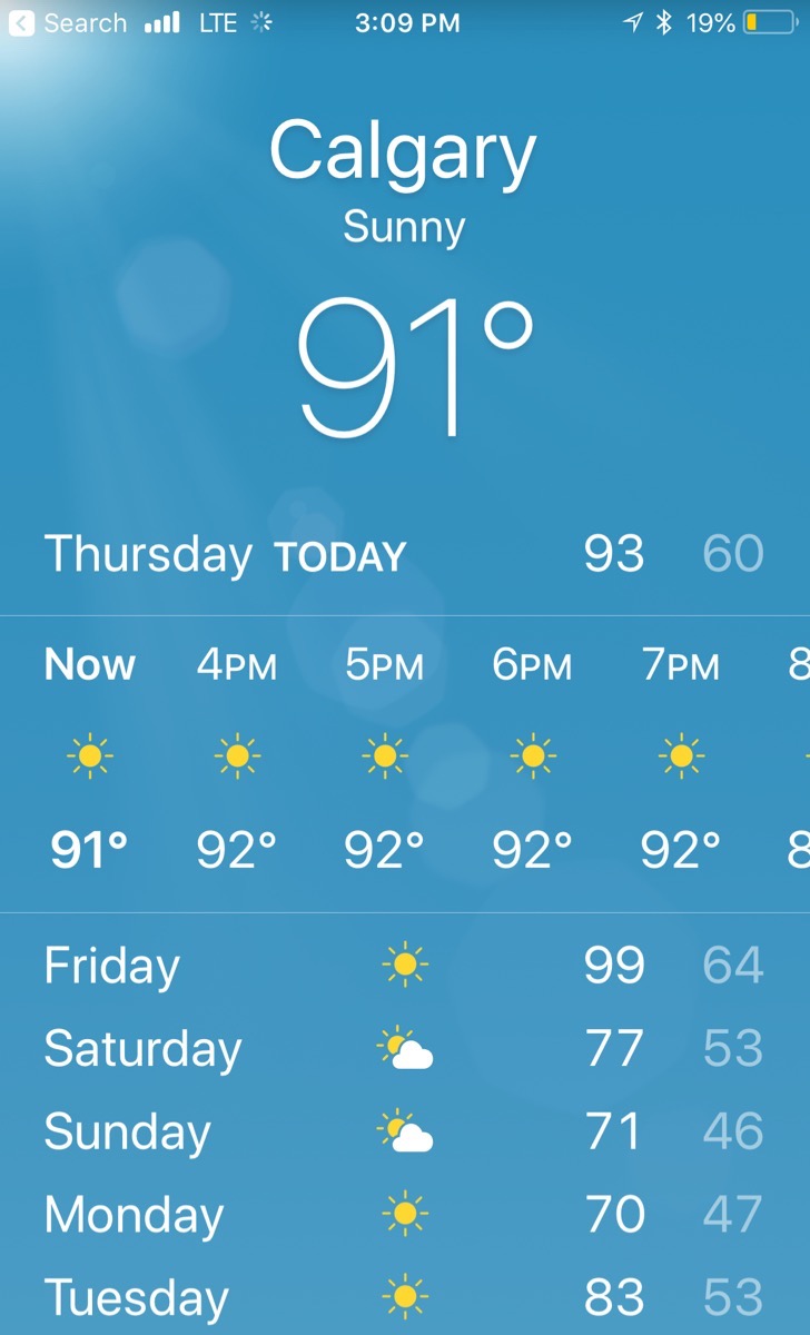
It was HOT today and very hazy from the fires (which we have not seen)
Olympic Park Luge
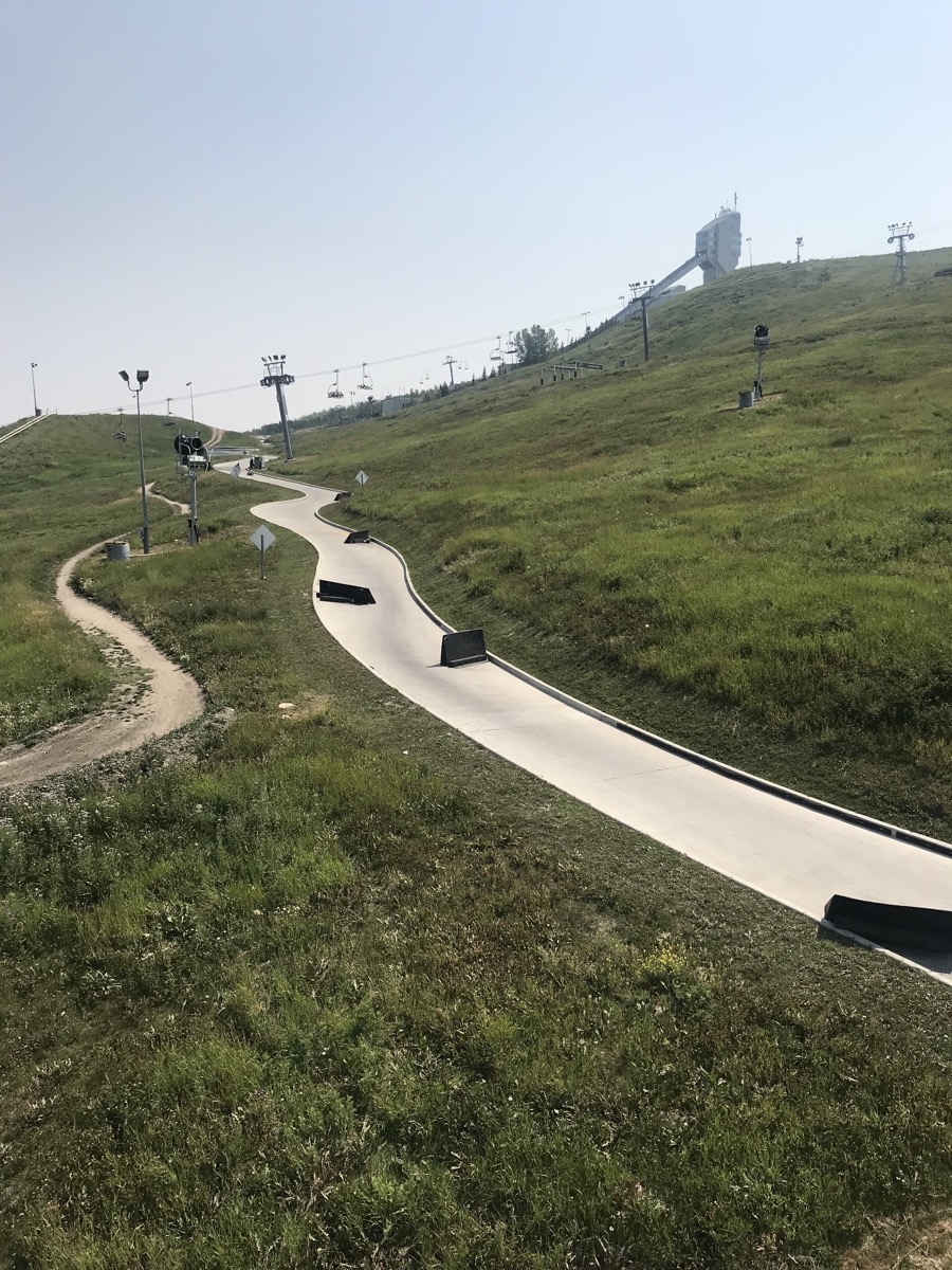
We rode a ski lift up to the top and rode the 1.12 mile track back down.
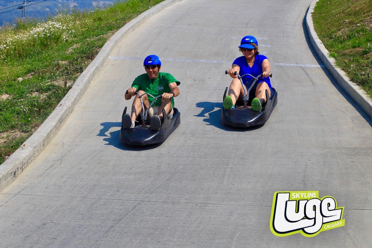
It was a fun ride!
Cardston
We drove 147 miles from Calgary to Cardston where we stopped for the night at the Lee Creek Campground. Right across from the campground is the historic Cobblestone Manor where we had a delicious dinner!
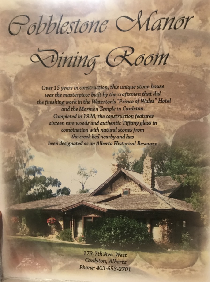
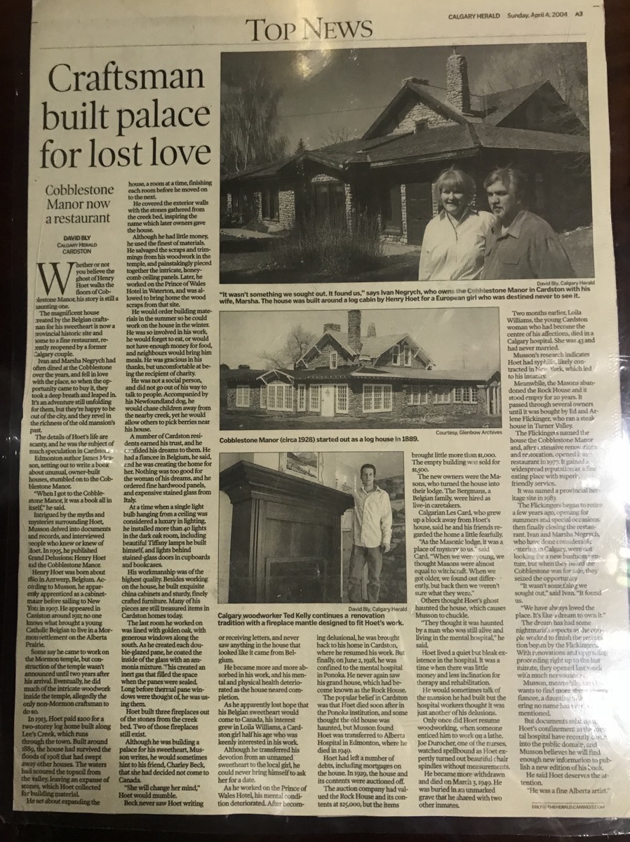
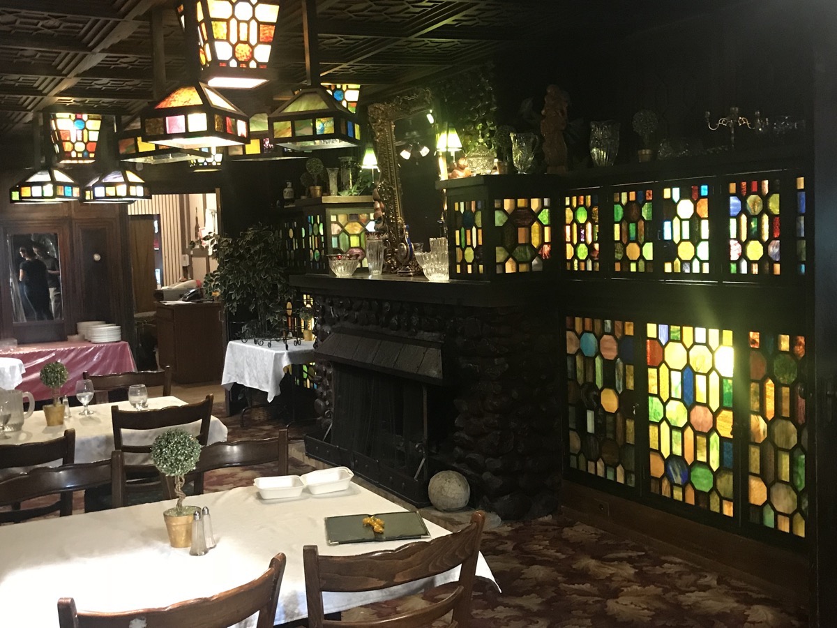
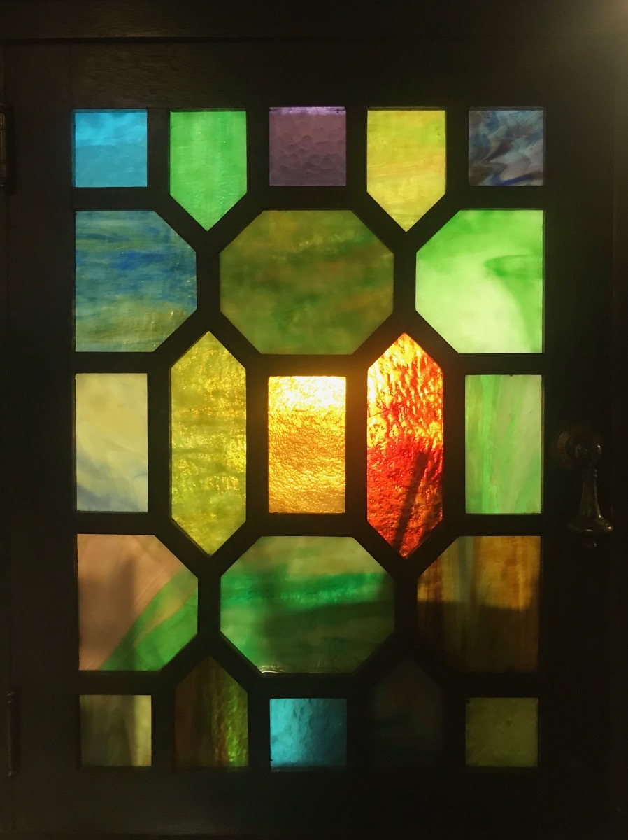
All this glass was handmade by Tiffanys and is embedded with precious stones to give it the beautiful colors.
Trip Statistics
- We drove 165 miles in the motorhome and 28 in the car for a total of 10,486 miles so far on this trip.
- We paid $3.621 a gallon for gas today which is $3,687.56 spent on gas so far.
- The Lee Creek Campground is $22.97 USD ($30.00 CAN)
-
Day 72 - Canmore to Calgary, Alberta
Canmore, Alberta
This morning we moved the motorhome and car from the campground to the Canmore Visitor’s Center where we parked and got our bikes off the bike rack. There was a police car at the Visitor’s Center and everyone was evacuated. We were wondering why, but we got on our bicycles and left to ride.
Canmore has miles and miles of beautiful paved and gravel walking and biking trails. We road 5.6 miles through town and along the Bow River before heading back to the Visitor’s Center and putting the bicycles back on the bike rack. We ate lunch in the motorhome and saw that the visitor’s center was still closed, but the rangers were outside at tables helping people with questions. I learned that the center was closed because someone had accidentally released a can of bear spray!!
Legacy Trail
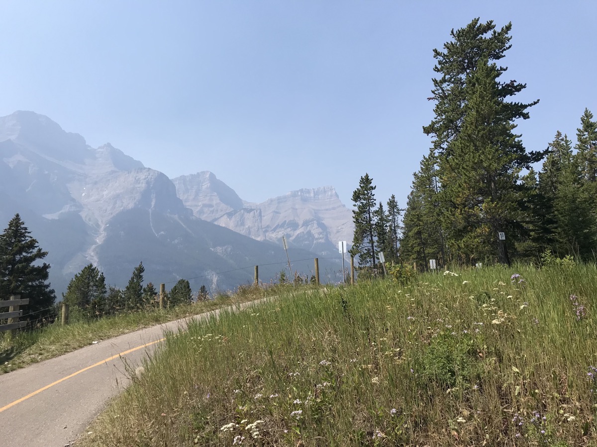
After lunch I discovered that the Legacy Trail runs all the way from Canmore to Banff –13.2 miles—AND there is a bus that runs every hour that will bring us and the bicycles back to Canmore. It would probably have been better for us if we hadn’t already taken the morning bicycle ride, but what the heck, I wanted to ride the trail.
SO…we rode our bicycles from Canmore to Banff. I can’t lie and say we weren’t DYING when we were arrived in Banff, but we were definitely thrilled to see the bus that was taking us back!
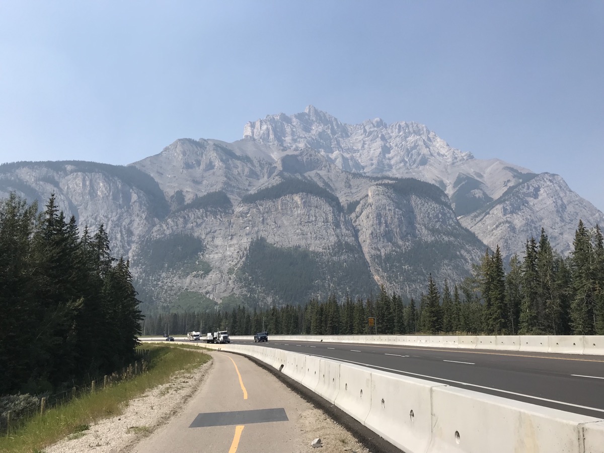 Bicycling on the Legacy Trail that runs from Canmore to Banff, 13.2 miles (22km)
Red Chair Experience
These red chairs are part of a Canada Parks program that encourages taking time to connect with nature and each other. Some are easy to find, while other provide more of an adventure. All of them offer a place to rest, relax, and reflect on the place you’ve discovered and the journey you took to get there.
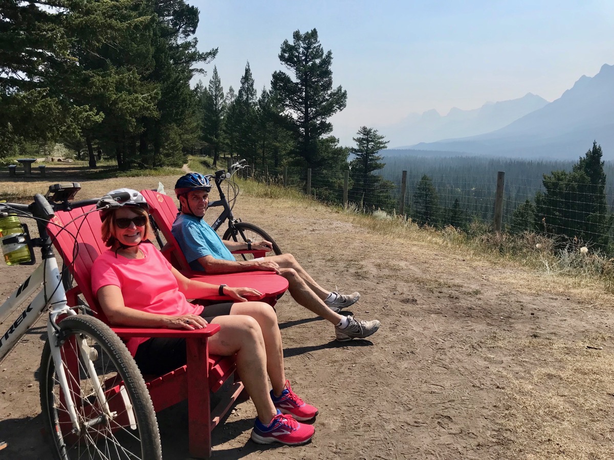
We are enjoying the rest in the red chairs at 5.93 miles on our journey toward Banff.
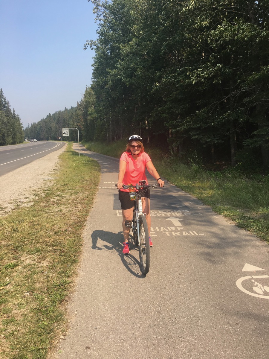
Here I am on the final leg of the journey —almost to Banff!
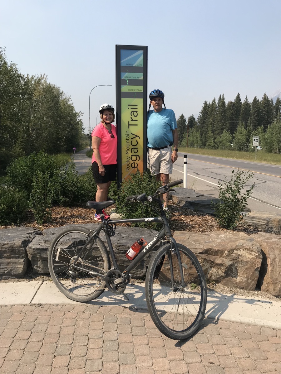
When we got off the bus back in Canmore, we posed by this sign that keeps track of how many people ride the trail. For some reason, even though we could read the numbers, the numbers would not show up in the pictures.
- Here are the totals:
- Users to date: 669,925
- Users this year: 75,161
- Users today: 462
When we started the trail today, we were numbers 301 and 302!
Calgary
After our bicycle ride, we packed up the bicycles, hooked the car to the motorhome and drove 52 miles to Calgary where we will be spending the next two nights at the Calgary West Campground.
-
Day 71 - Canmore, Alberta
Columbia Icefield
Today is our 30th anniversary!!! We stayed in the parking lot of the Athabasca Glacier Visitor’s Center last night (with about 20 other RVs). This morning we hiked to the toe of the glacier. After our hike we went into the visitor’s center and ran into our friends Judy, Barry, Judy, Dale, Sandy and Mark who are all from Lake Charles. They are on a tour with Trafalgar that stopped for a tour of the glacier and were headed to Jasper. It was so good to see them!
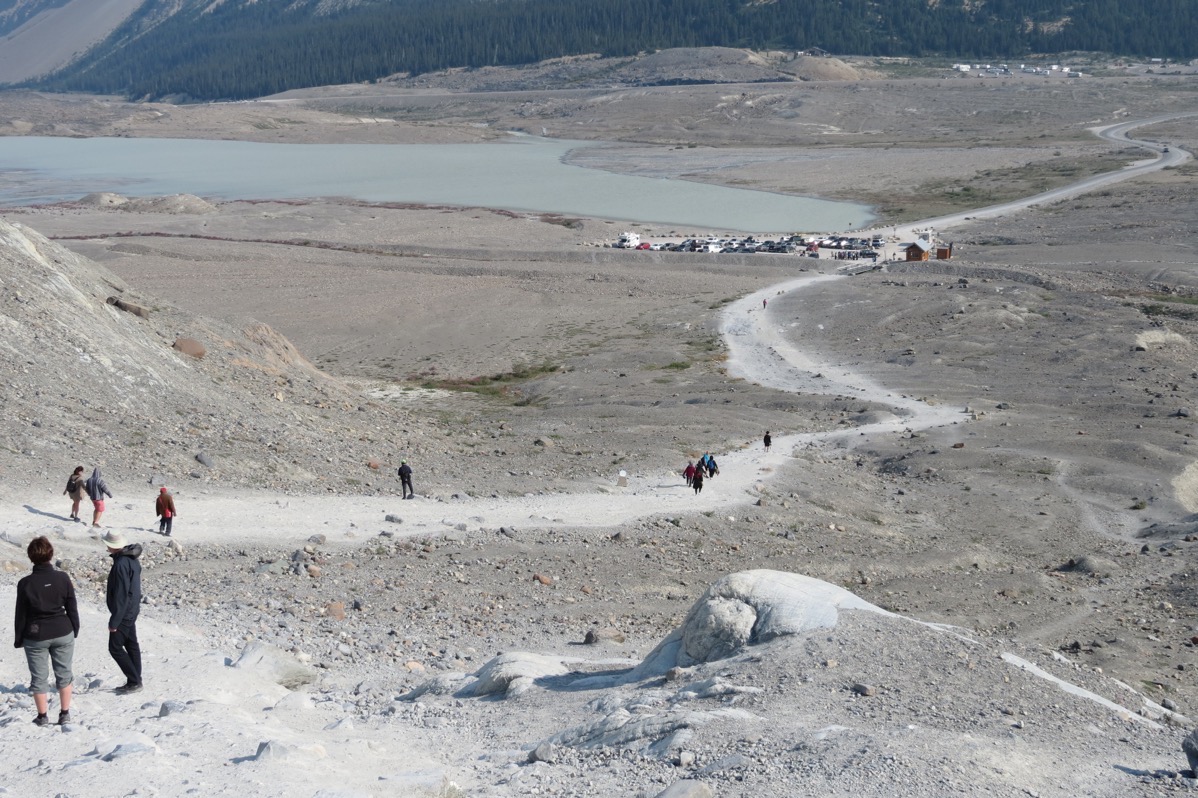
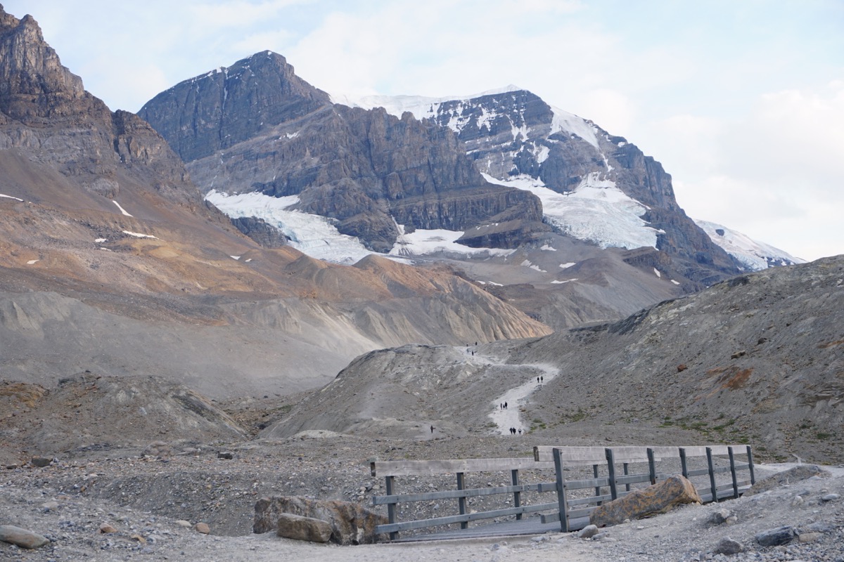 The trail up to the toe of the glacier
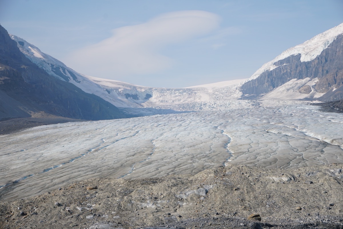
View from the toe—we were not allowed to hike on this without a guide
Columbia Icefields Highway
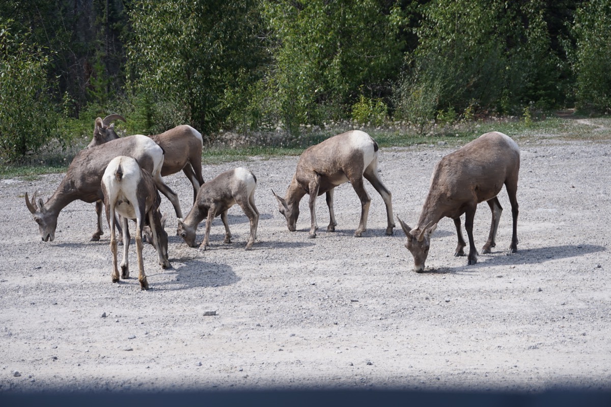
These goats were hanging out on the side of the road (and it’s a busy highway)
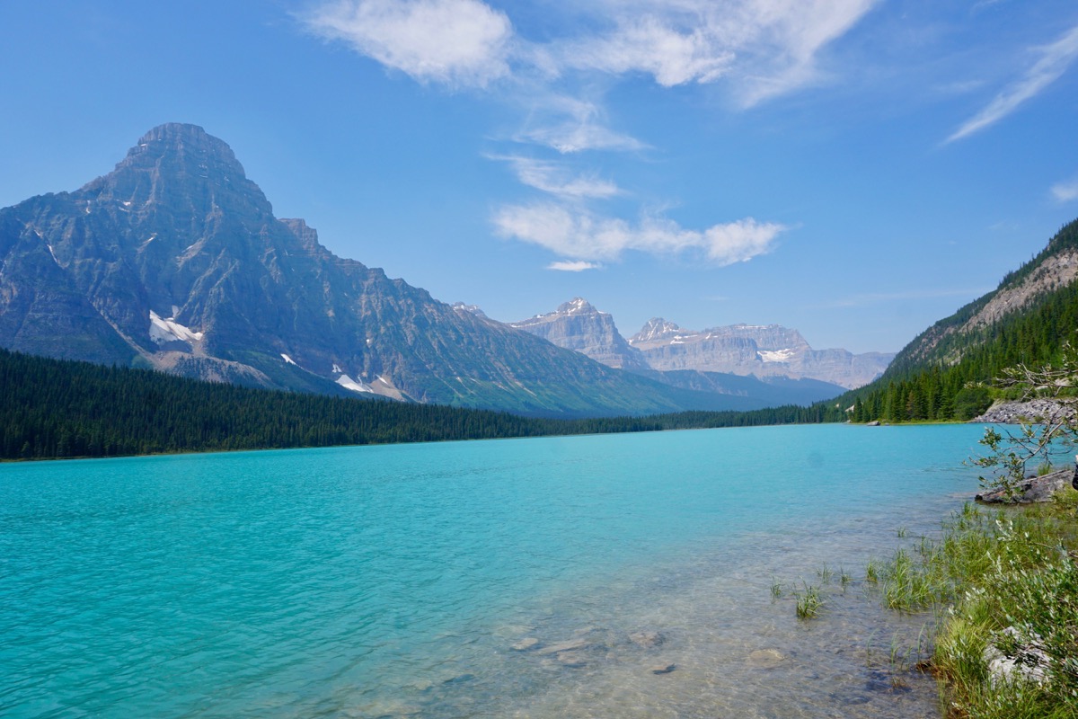
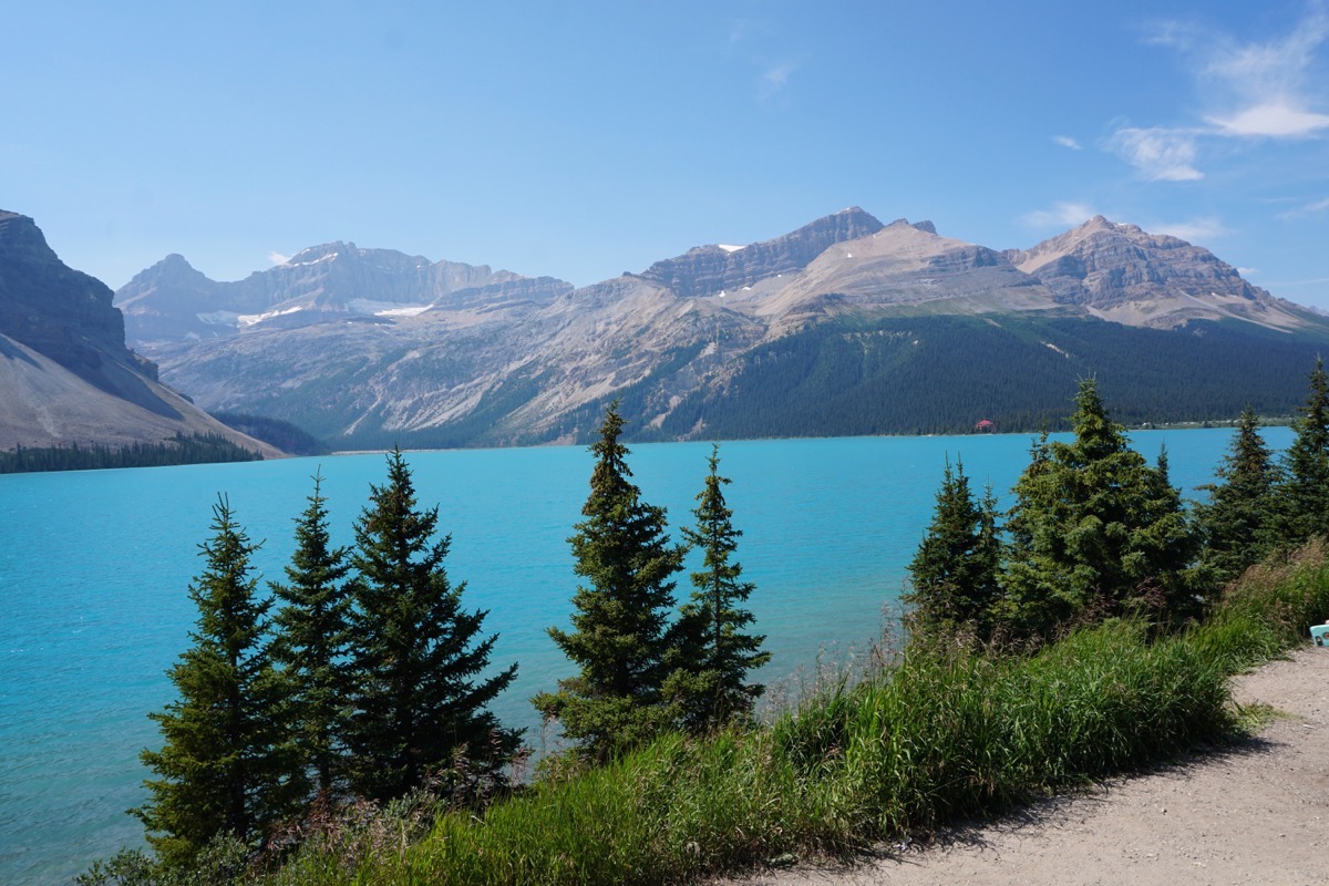
The beautiful blue water of Bow Lake
Canmore
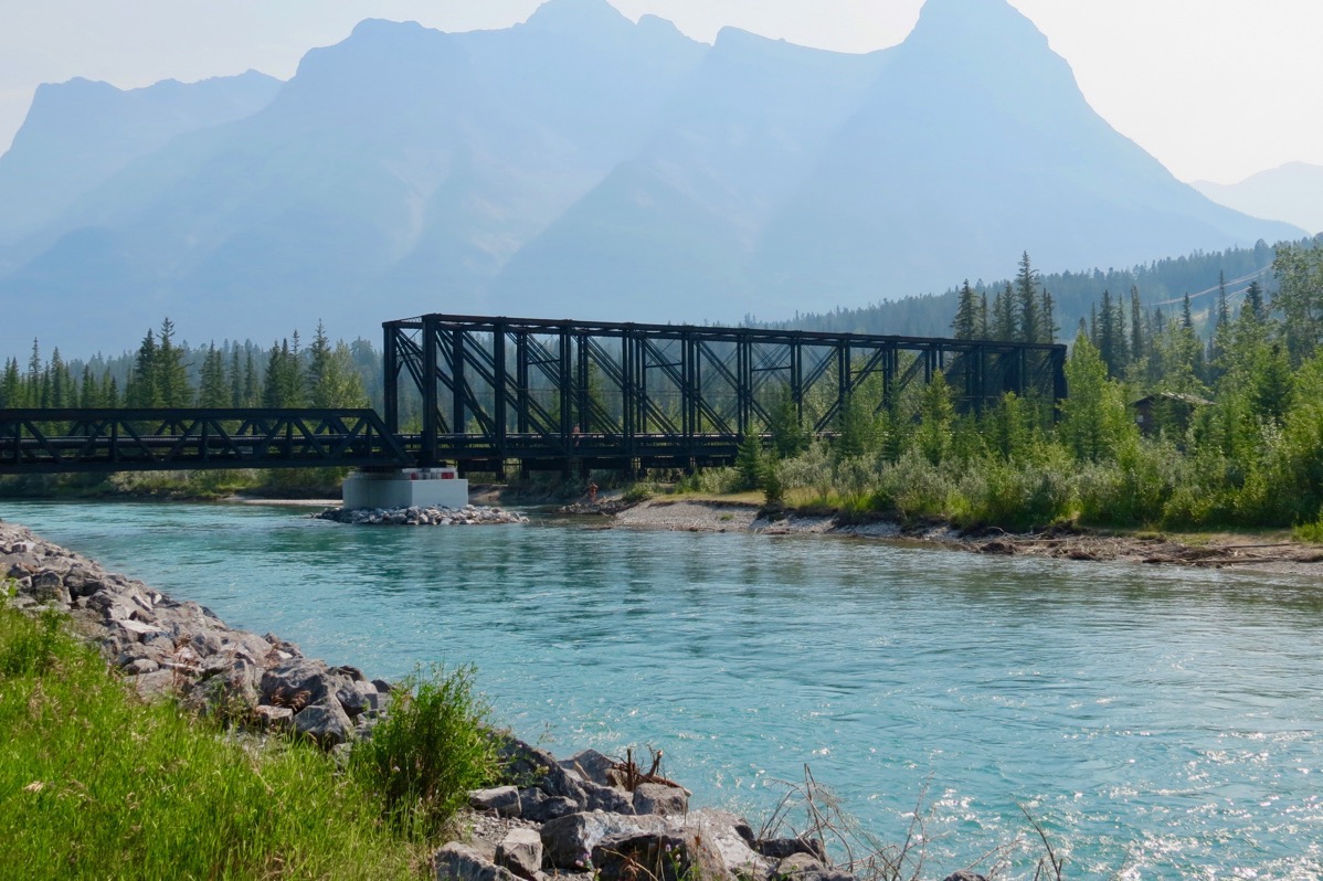
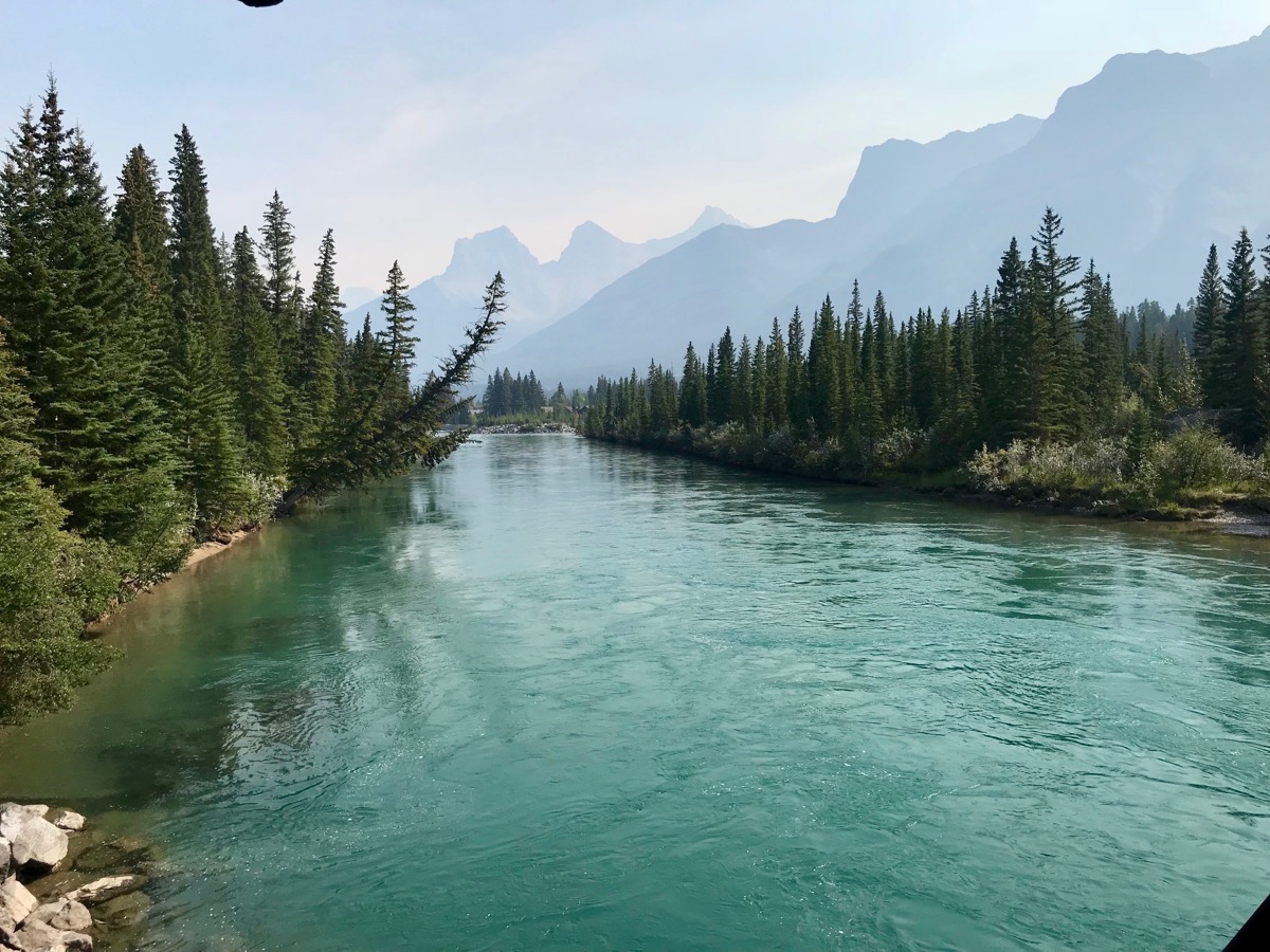
We took a walk along the Bow River in Canmore. Notice how hazy the mountains are in the background. There are forest fires in the area creating the haze (but luckily, we haven’t see any).
Tonight we ate dinner at the Gaucho’s Brazilian Steakhouse BBQ in Canmore.
Trip statistics
- We drove 133 miles in the motorhome and 7 miles in the car and are now at 10,230 miles on this trip.
- We paid $5.89 a gallon for gas today. The total spent on gas is now $3,520.87.
- We are staying at the Wapiti Municipal Campground in Canmore for $28.33 (USD) $37.00 (CAN) for a total of $2080.98.
-
Day 70 - Athabascian Glacier, Jasper National Park
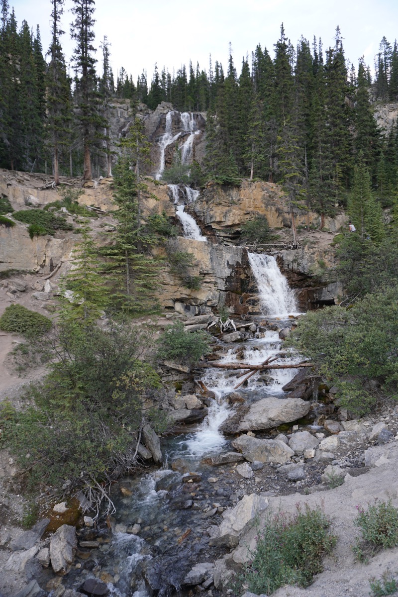
We drove 295 miles from Prince George to the Athabasca Glacier in Jasper National Park. The weather was perfect and the drive was beautiful (it seems like I have said that about almost ever drive).
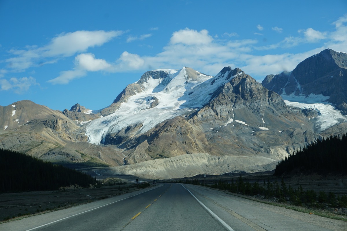
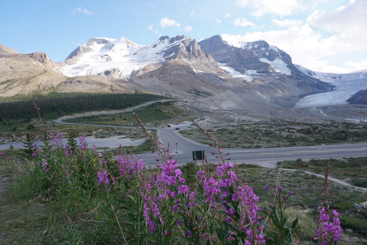
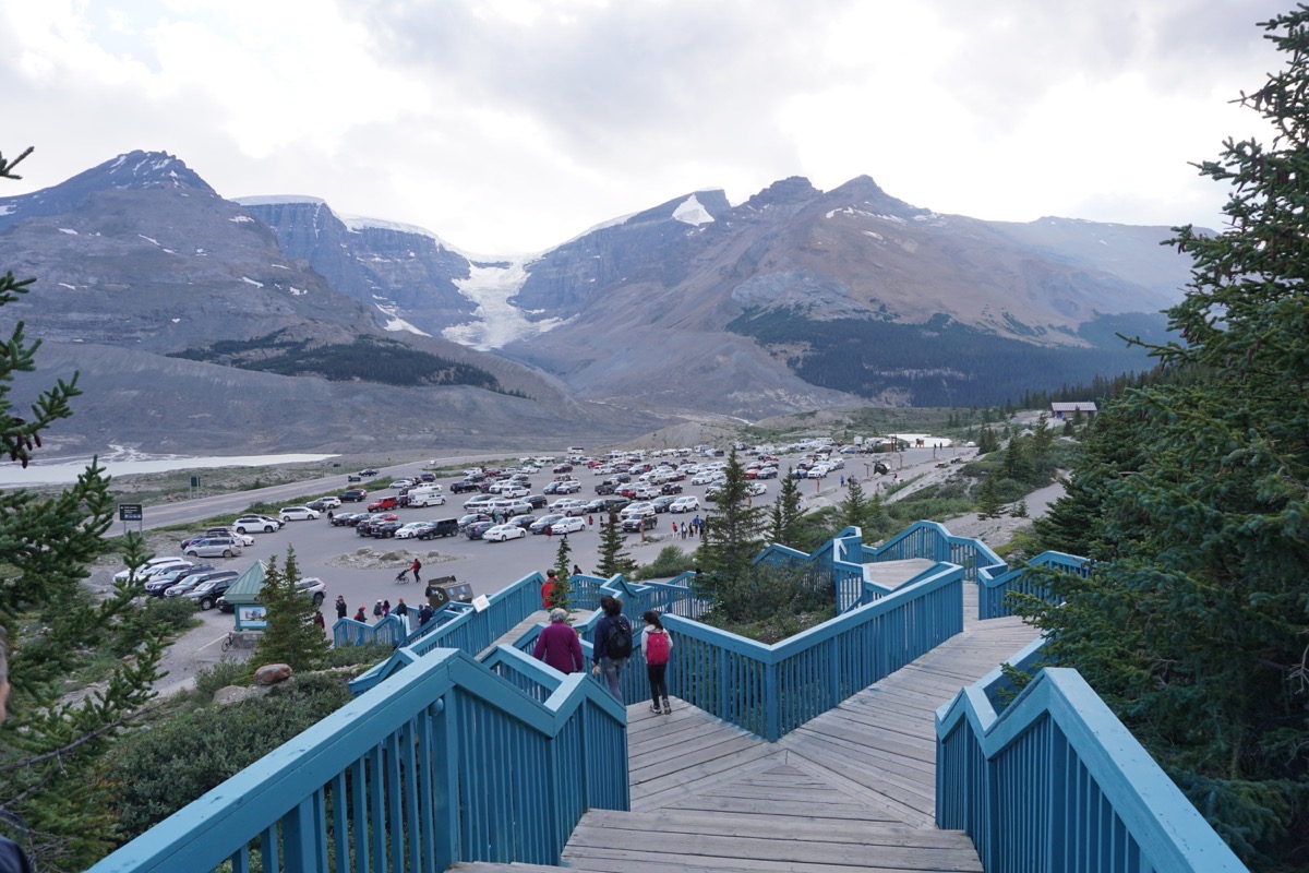
Look way out to the end of the parking lot! That is where we are staying tonight (with lots of other RVs)
-
Day 69 - Prince George, BC
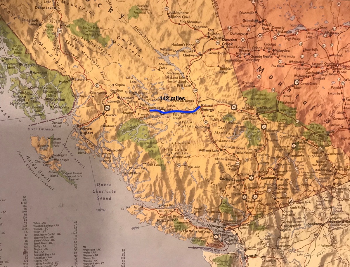
We drove 142 miles today from Burns Lake to Prince George, BC.
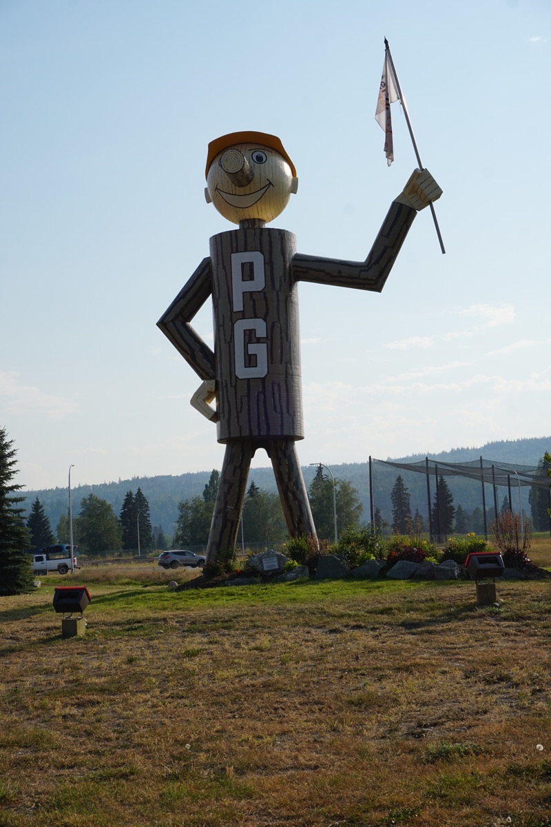
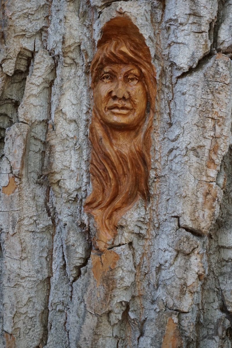
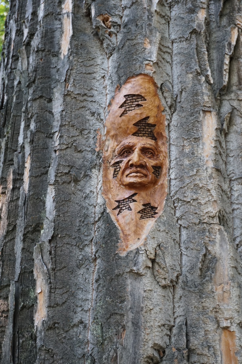
We drove to Cottonwood Island Park and walked two miles on the the forest trail. There we found more trees with carvings like we had seen in Terrace, BC.
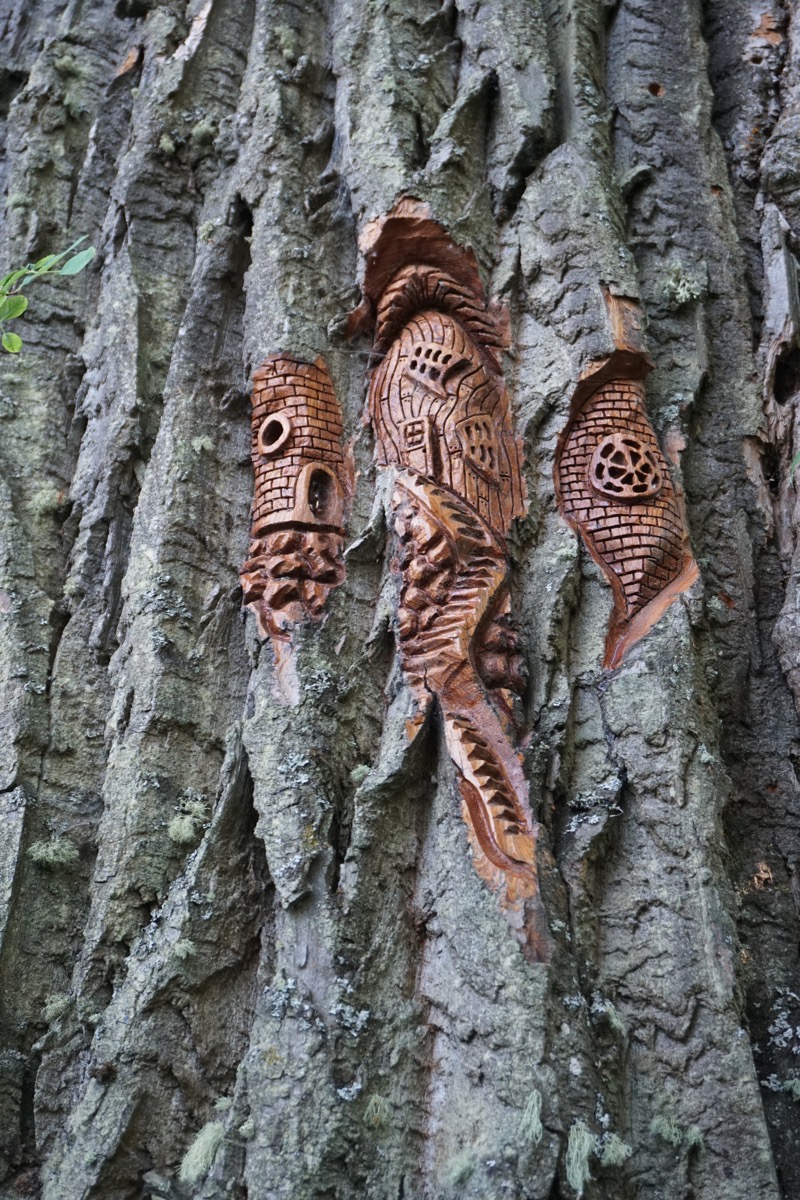
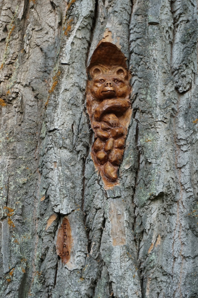
Trip Statistics
- We drove 142 in the motorhome and 19 in the Honda, for a total of 9,785 miles so far on this trip.
- We paid $3.879 a gallon for gas and have spent $3462 so far.
- We are staying at the Santich RV Park for $27.65 USD or $35.91 CAN. So far on this trip we have spent $2,052.64 on lodging.
-
Day 68 - Burns Lake, BC
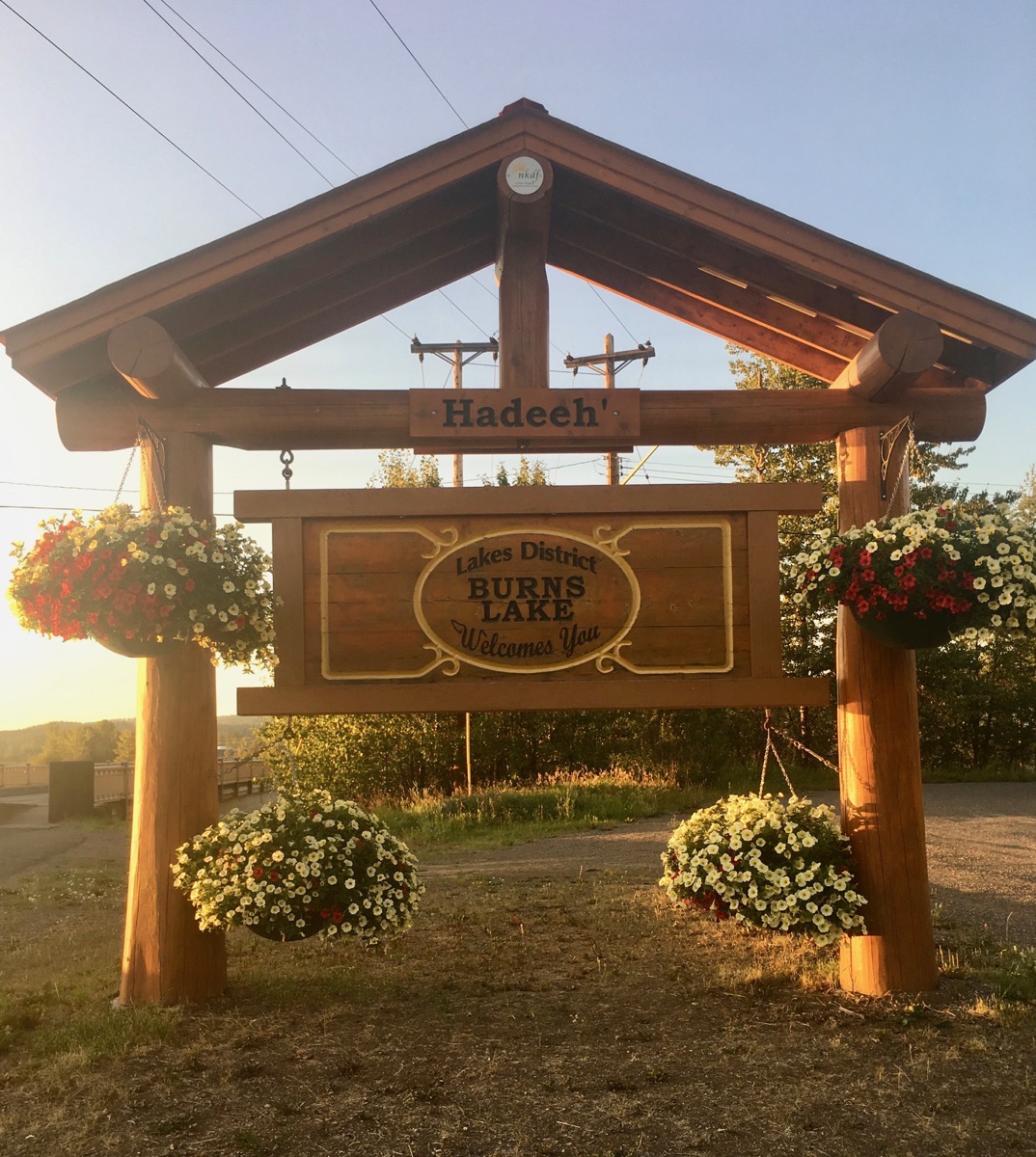
We drove 309 miles today from Prince Rupert, BC to Burns Lake, BC. It was a beautiful sunny day with the temperature around 75 degrees. We stayed at the Burns Lake Municipal Park. It was a nice campground situated right on the Endako River, and it was free to camp there.
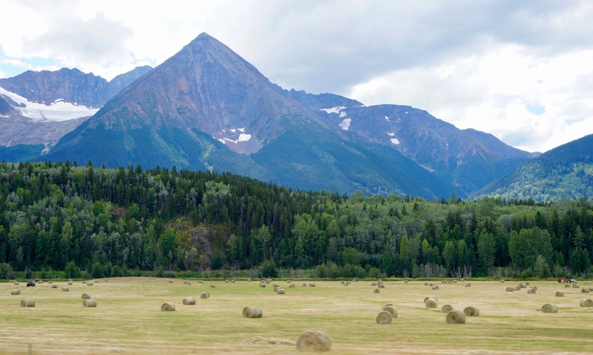
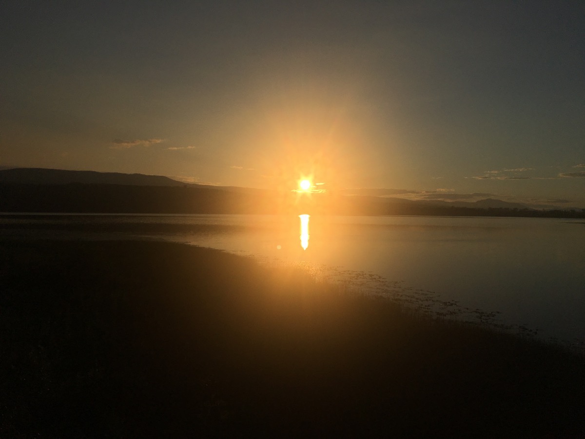
Sun beginning to set over the Endako River by the campground
Trip Statistics
- We drove the motorhome 309 miles and the Honda 7 miles. Trip total so far is 9,624 miles.
- We paid $4.086 a gallon for gas today. Trip total is $3,314.15.
- Our campground is free tonight, but the total so far is $2,035.37
-
Days 66-67 - Prince Rupert, BC
The most disappointing place on this whole trip has been Prince Rupert, BC. It rains 240 days a year and we happened to hit two of those days while spending our two days here. Temperatures were in the upper 50’a and it was dreary. That wouldn’t have been so bad if we hadn’t driven 150 miles out of way (300 round trip) to see it.
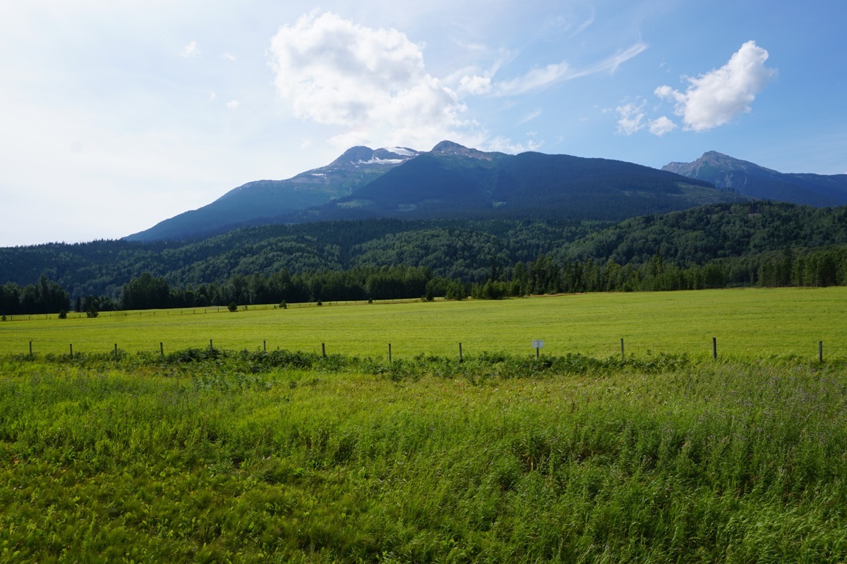
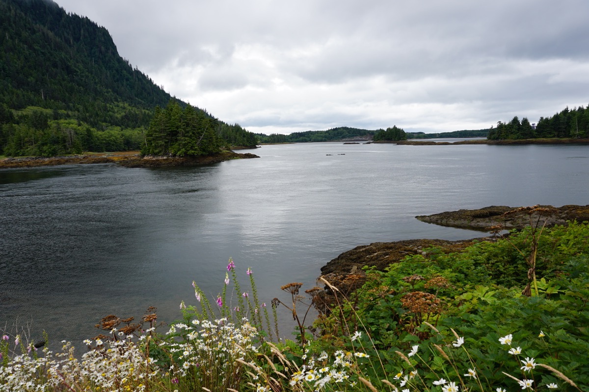
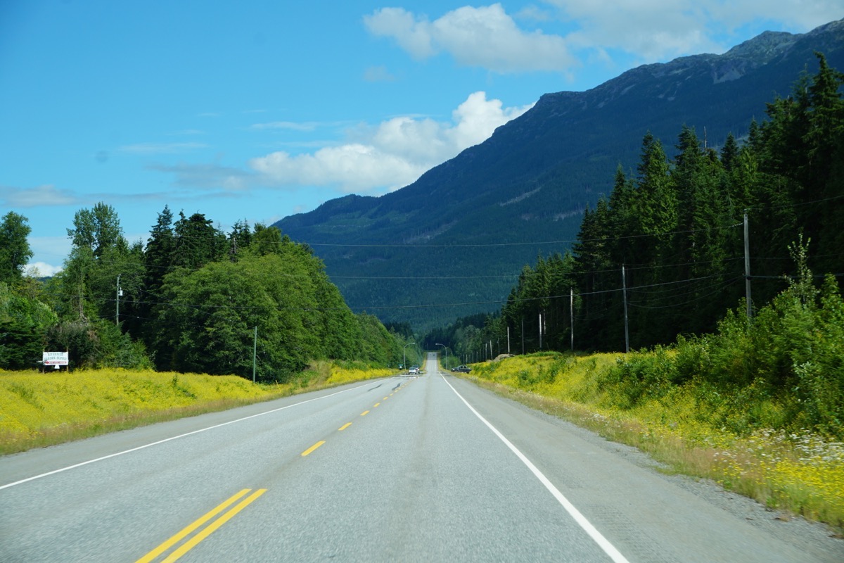
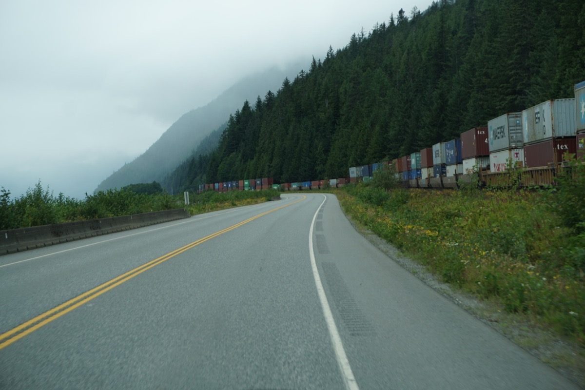
On our way down highway 16 we saw beautiful wild flowers on the side of the road and magnificent mountain peaks. The train tracks run parallel to the highway and we passed a train that was 201 cars long with 90 of those cars carrying double containers. It was chosen in 1905 as the terminus for Canada’s second transcontinental railroad.
Prince Rupert is known as the “Gateway to Alaska.” It’s the second major deep-sea port on Canada’s west coast, exporting wood, coal, grain and other resources to Asia and Europe. For those Alaskan bound travelers who chose to take the ferry up from Bellingham, WA, it’s the second stop after Vancouver. We met some people who took the ferry as far as Whittier from Bellingham and they paid $7,800: per person cost, a room on the ferry to sleep in, the cost for the car and the cost for the RV (vehicles are charged per foot). Additional charges apply it you want to get off the ferry at a stop and then get back on several days later. Plus, of course, the cost of your food.
North Pacific Cannery
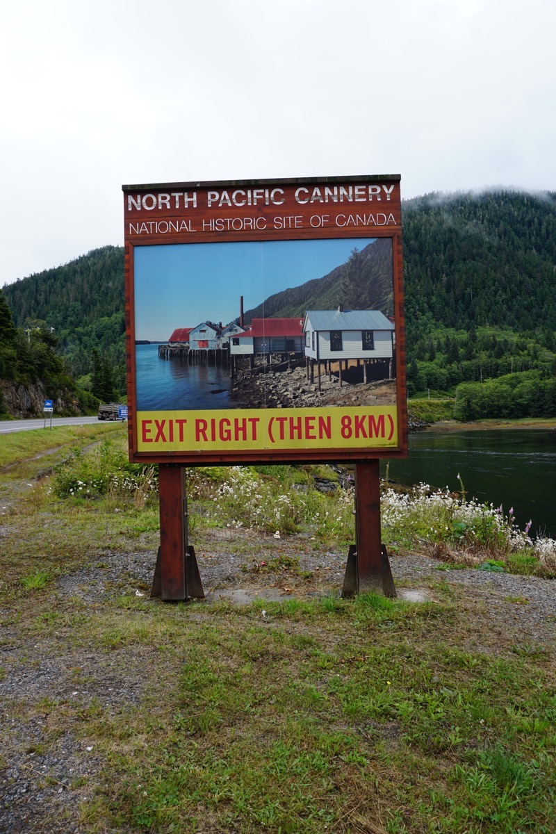
We took a fascinating tour of the North Pacific Cannery which is a national historic site for Canda. At one time there were nearly 50 canneries along the Skeena River where the salmon were brought to be cleaned, chopped, skaled, canned and cooked to send to markets in Asia and Europe. First Nation women swiped the remaining gills and guck off the fish by having their hands in ice cold water 16 hours a day and standing in buckets of hot water to keep warm. The workers would arrive in April and stay until September and would live in little houses by the cannery during that time. The only on who lived on the premises year round was the caretaker.
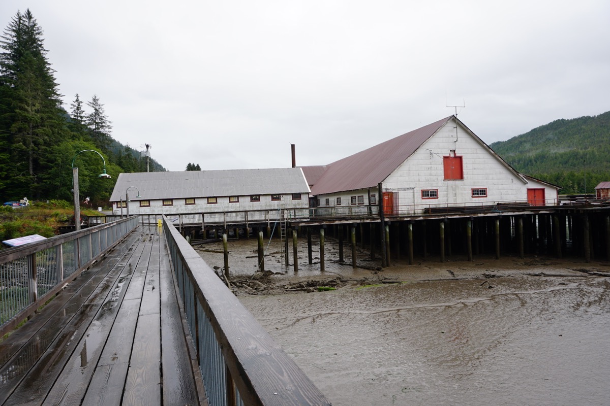
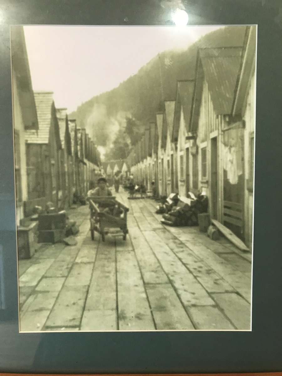
In the picture shown below the First Nation houses used to line this walkway on both sides. There were two recreated ones that we were able to water through. They were one room - no bathroom. There was a door in the floor that was lifted to use the bathroom. The tide going out would be the flush.
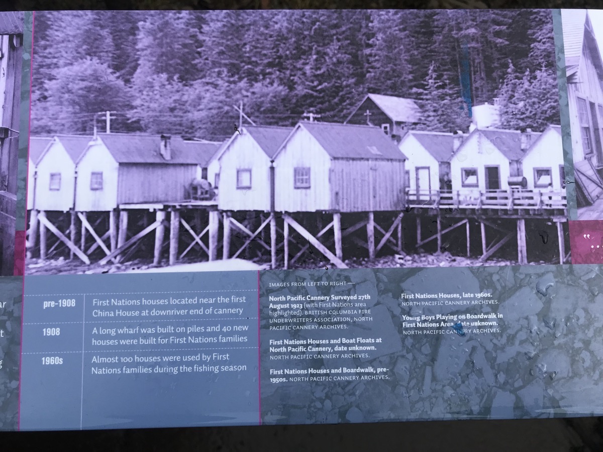
The First Nation women who cleaned the fish and fixed the nets would bring the entire family and 8 or 9 people would live in each house. Even though there were 50 canneries along the Skeena River, there was no road to get to the canneries. Residents came in by rail or by boat. Then they came they brought everything they would need to stay for the season. There was a company store on sight, but items were very expensive.
The Chinese men were the butchers. They would chop off the head and tail, remove the entrals and drop all the waster in a hole in the floor to be washed out with the tide. An average man could prepare 2000 fish in a 10-hour shift. The slicers would cut the salmon the length of the cans. Each woman would pack 72 cans a minute.
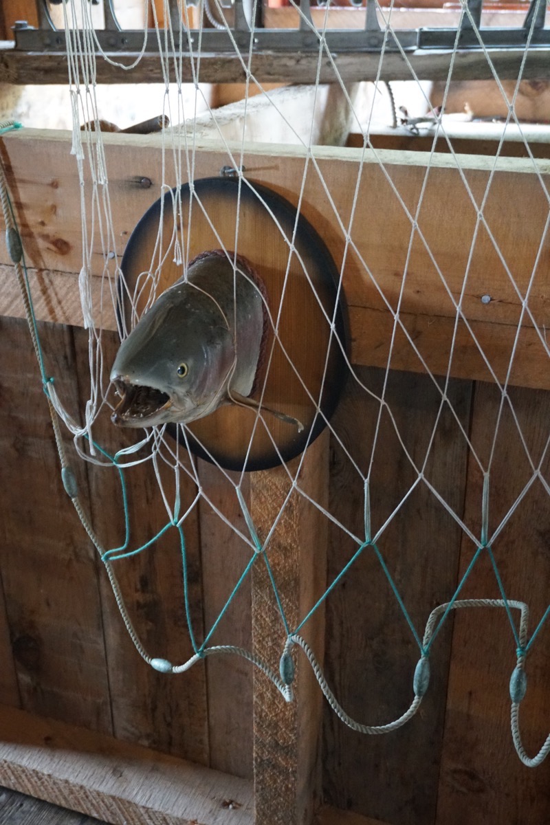
The first were caught in gill nets
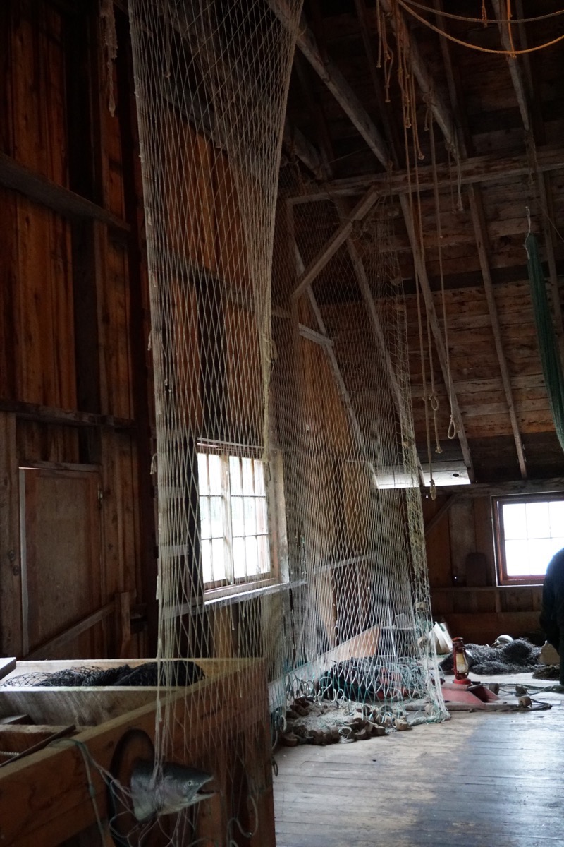
These are the gill nets. There are cork on the top to make the top of the nets float and leaded weights on the bottom to sink the net into the water to catch the fish as they swam upstream.
The managers -office men-came from England or Scotland, there were First Nation workers, Japanese, and Chinese who came to do this hard work. The nationalities stayed segregated and worked in different sections of the cannery.
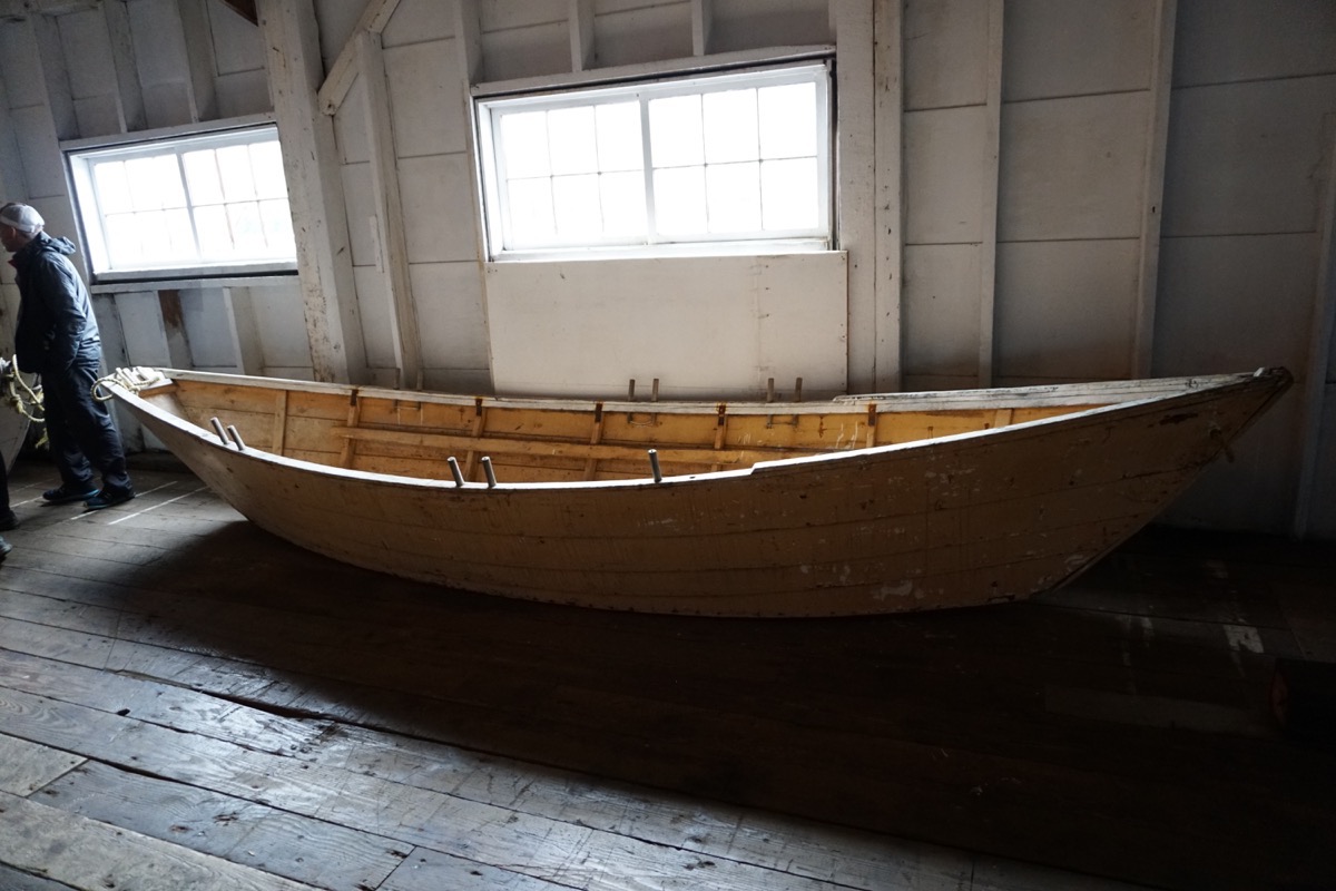
This is a boat that was used to catch salmon. It had one sail. Two men would go out for six days at a time and live in the boat. Another boat would come by to pick up the fish and bring food to the men.
Since it was a dreary day we went grocery shopping and to the movies to See “Mama Mia! Here We Go Again“

The Walmart here was inside a “mall” and really small.
Trip Statistics
- We drove the motorhome 92 miles and 38 miles in the Honda for a total of 9,308.
- We stayed in the Prince Rupert RV Park for $29.83 USD. The total campground cost is $2,025.37, or an average of $30.23 per night.
- Gas today cost $4.173 per gallon. Total cost for gas so far is $3227.33
-
Day 65 - Terrace, BC
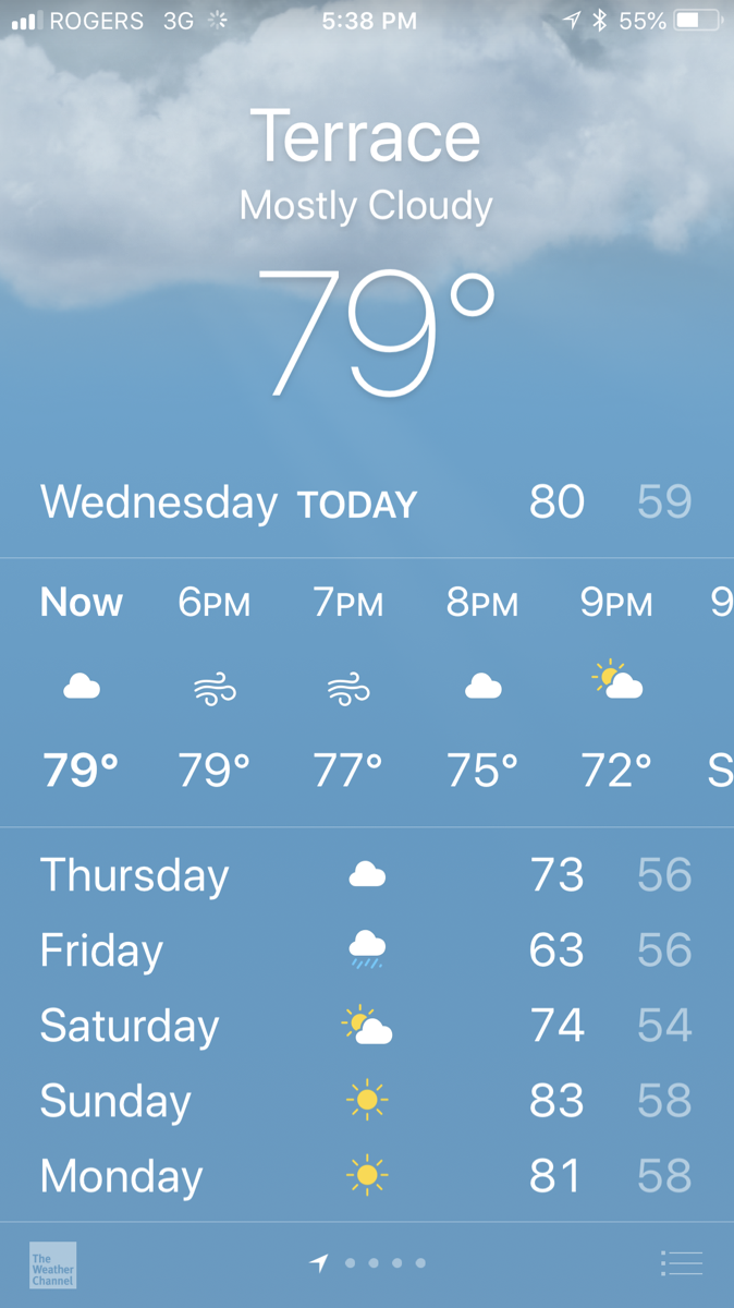
We drove 155 miles from Meziadan Lake Provincial campground To Terrace, BC. It was another beautiful sunny day with the temperatures in the high 70s.
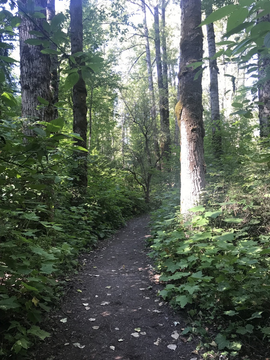
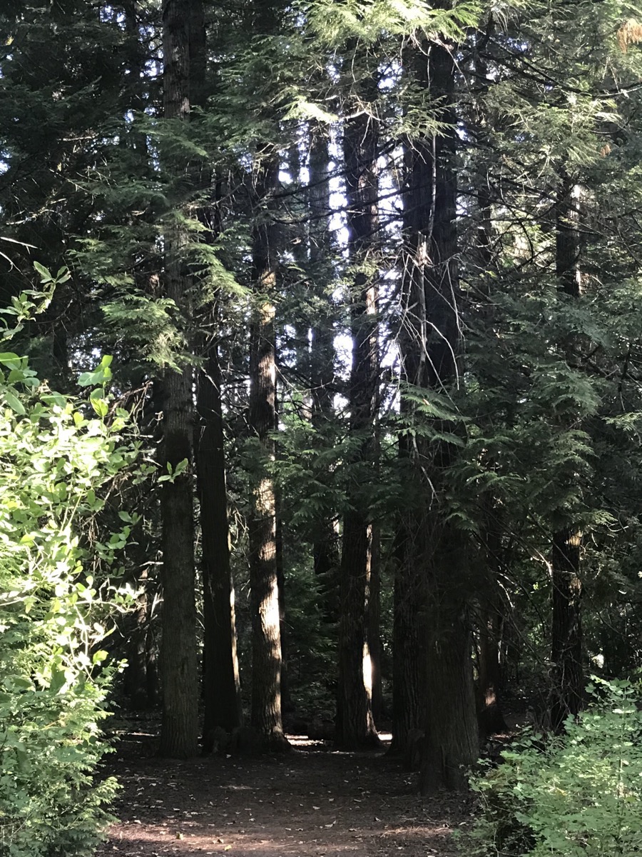
We stayed at the Ferry Island Municipal Campground in Terrace, where we hiked a 2.5 mile trail in the woods surrounding the campground. Local artist Rick Goyette carved faces in many of the trees. The carvings reminded me a a childhood memory of the song “This is the forest of No Return. This is the forest of No Return, Those who stumble in, those who fumble in, Never can get out!”
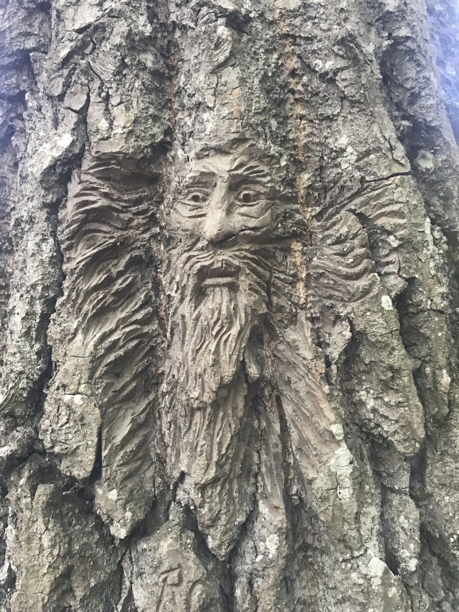
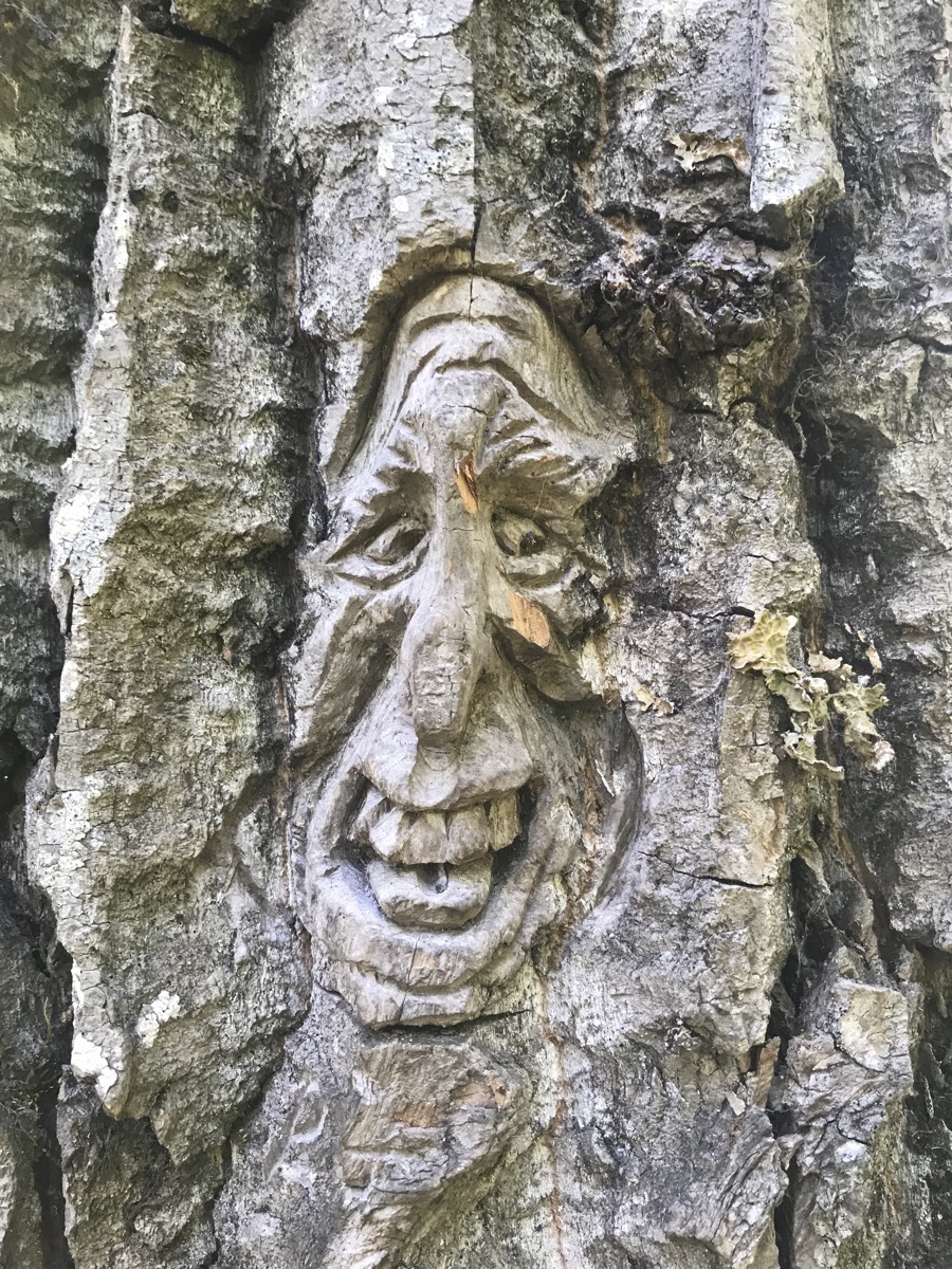
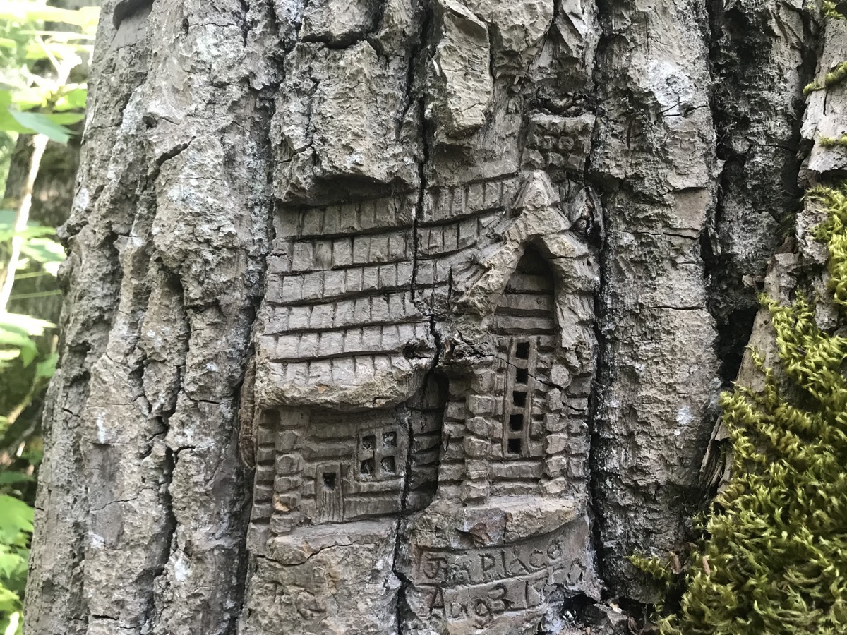
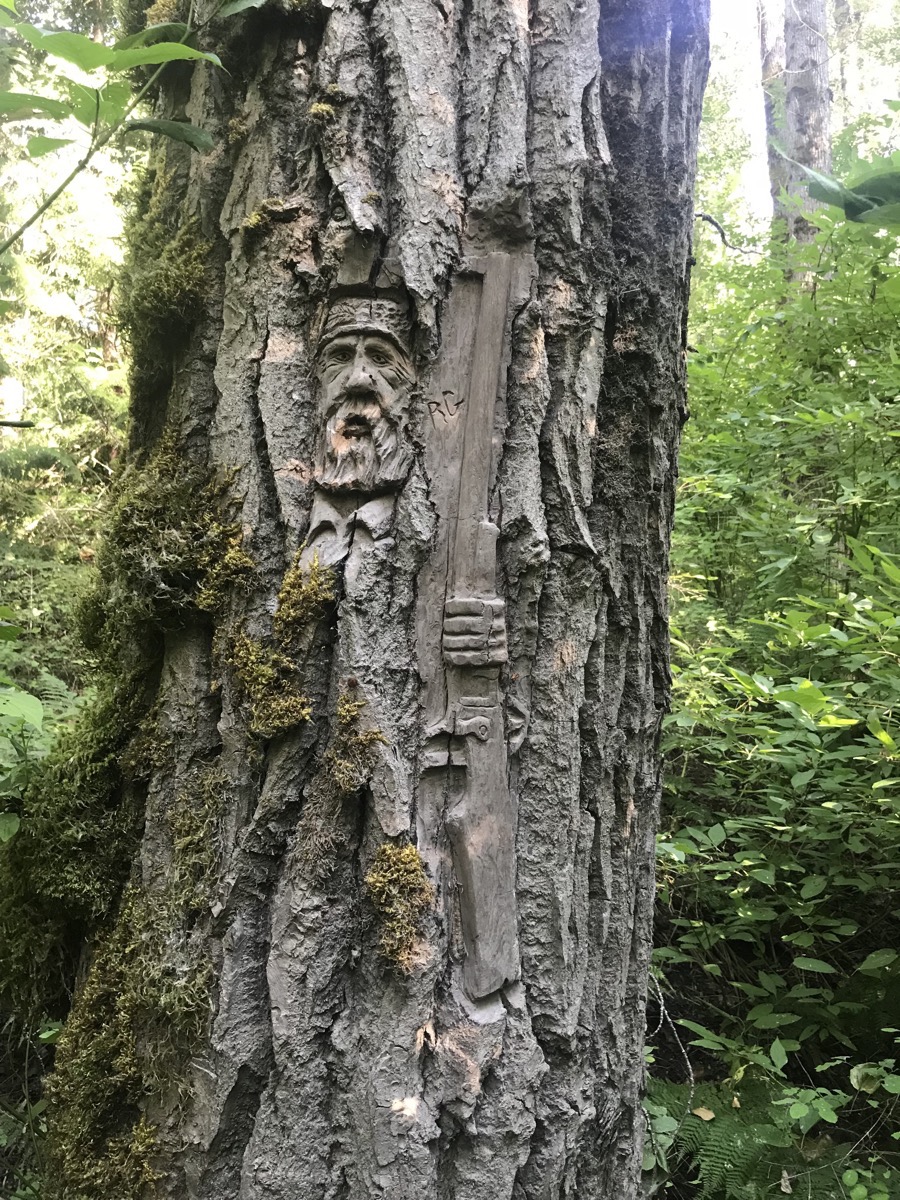
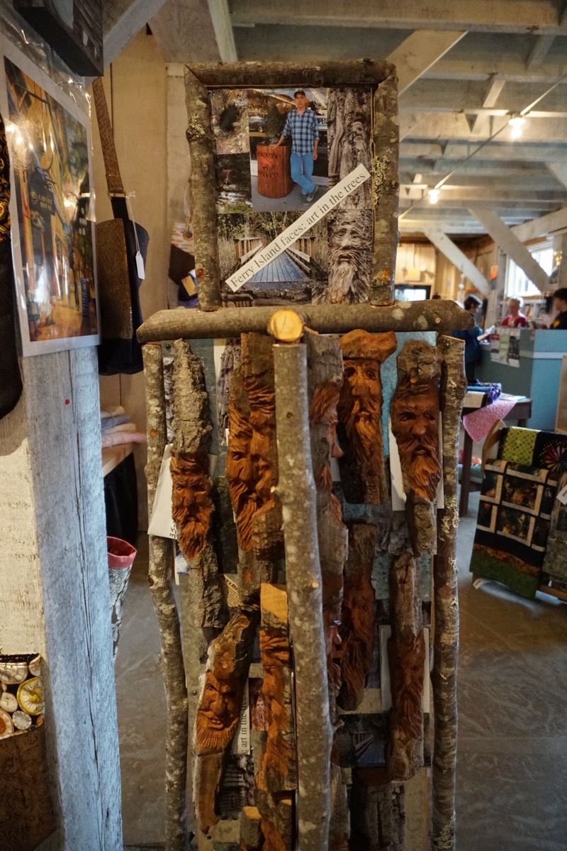
Replicas of the Ferry Island tree carvings with a picture of the Rick Goyette, the artist.
Trip Statistics
- We drove 155 miles today for a trip total of 9,178 miles so far.
- Today we paid $4.025 a gallon of gas today for a trip total of $3,192.87.
- The Ferry Island Municipal Campground cost was $21.28 USD ($28.00 CAN) for a trip total of $1,965.71, or an average of $30.24 per night.
-
Day 64 - Cassiar Highway from Iskut to Meziadan with a side trip to Stewart, BC and Hyder, Alaska
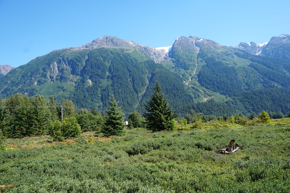
We left Iskut at 9:00AM and drove the Cassiar Highway (Hwy 37) to Meziadan Lake Provincial Campground where we parked the motorhome. We then drove Hwy 37A which winds through scenic Bear Creek Canyon from Meziadan Lake down to Stewart, BC (population 400) and Hyder, Alaska (population 100). We enjoyed the beautiful vistas of the magnificent Coast Range Mountains, with glaciers and cascading waterfalls.
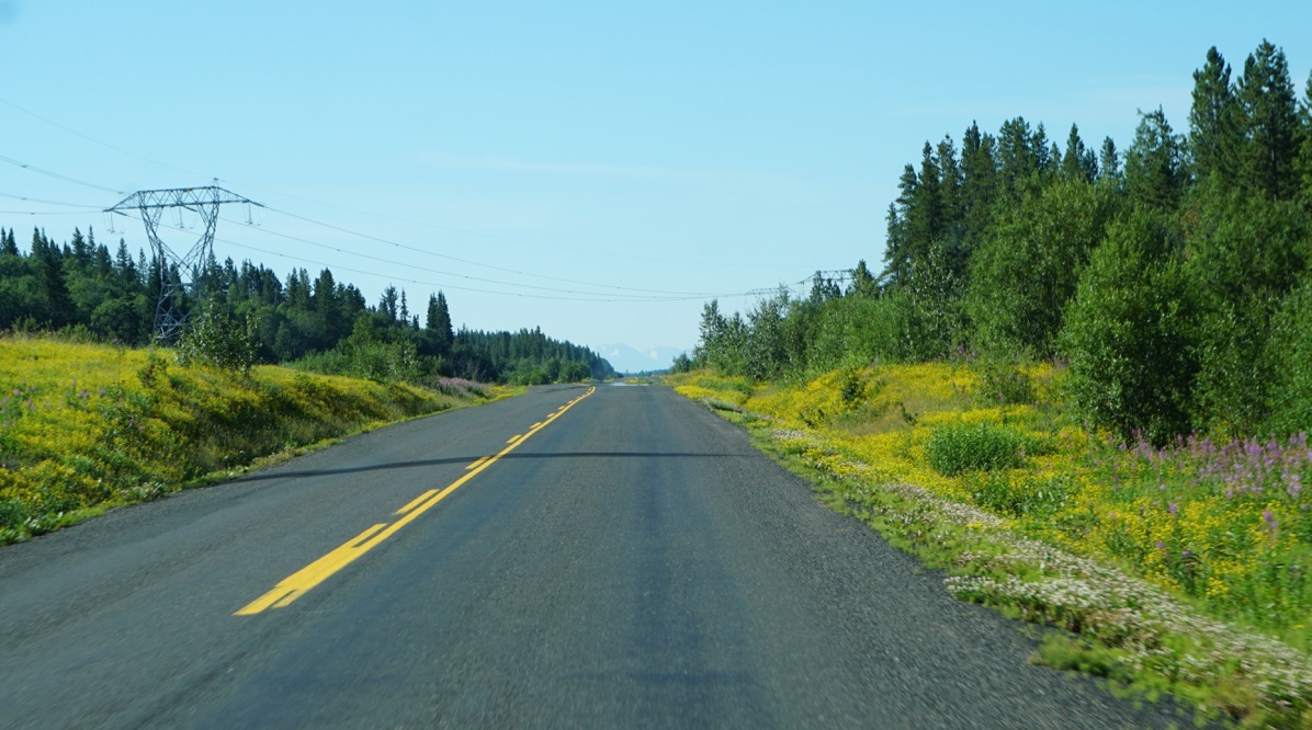 We enjoyed the wildflowers that were blooming on the side of the road.
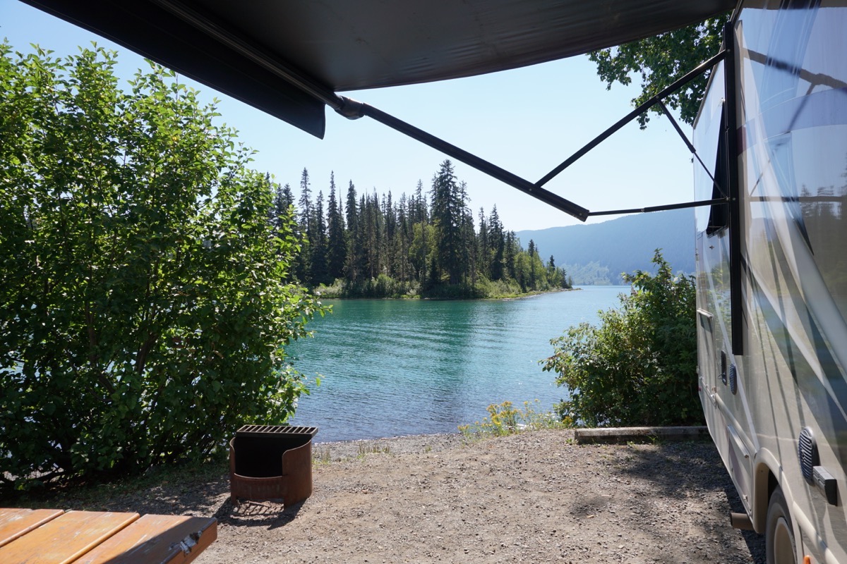
The beautiful view from our campsite at The Meziadan Lake Provincial Campground
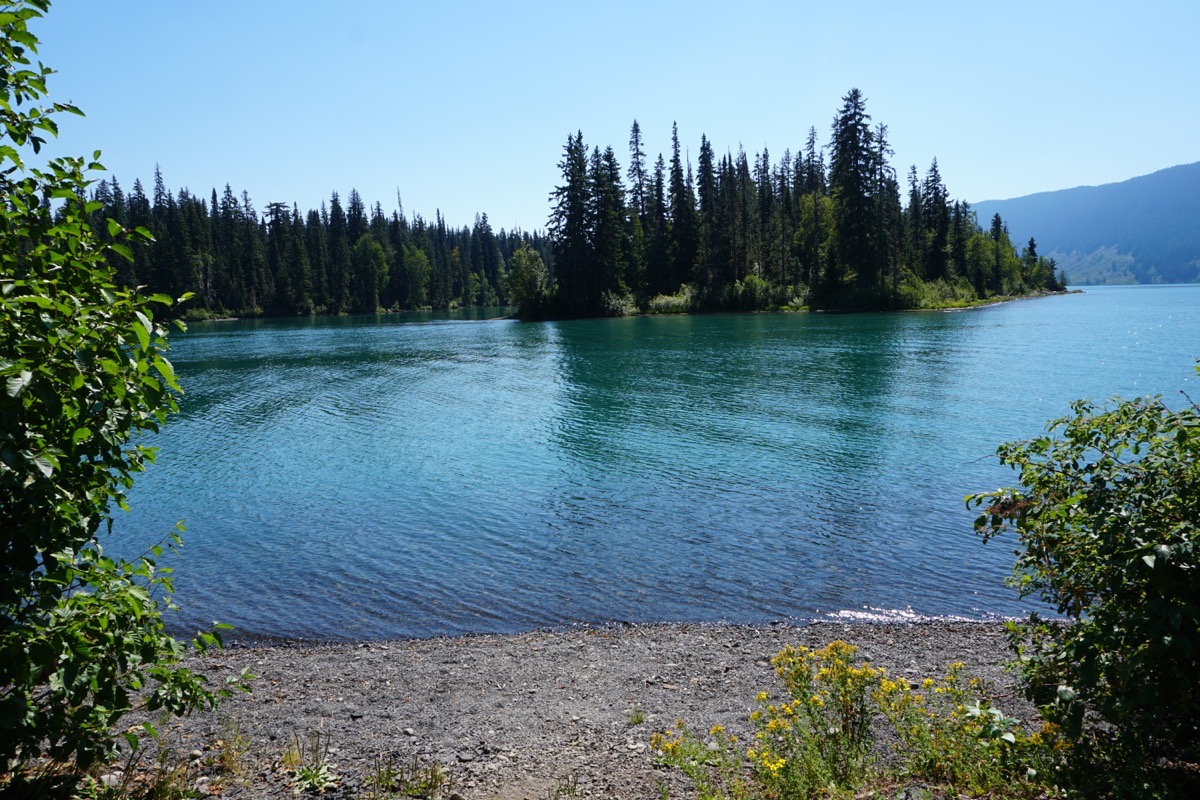
The views along the road to Stewart, BC and Hyder, Alaska
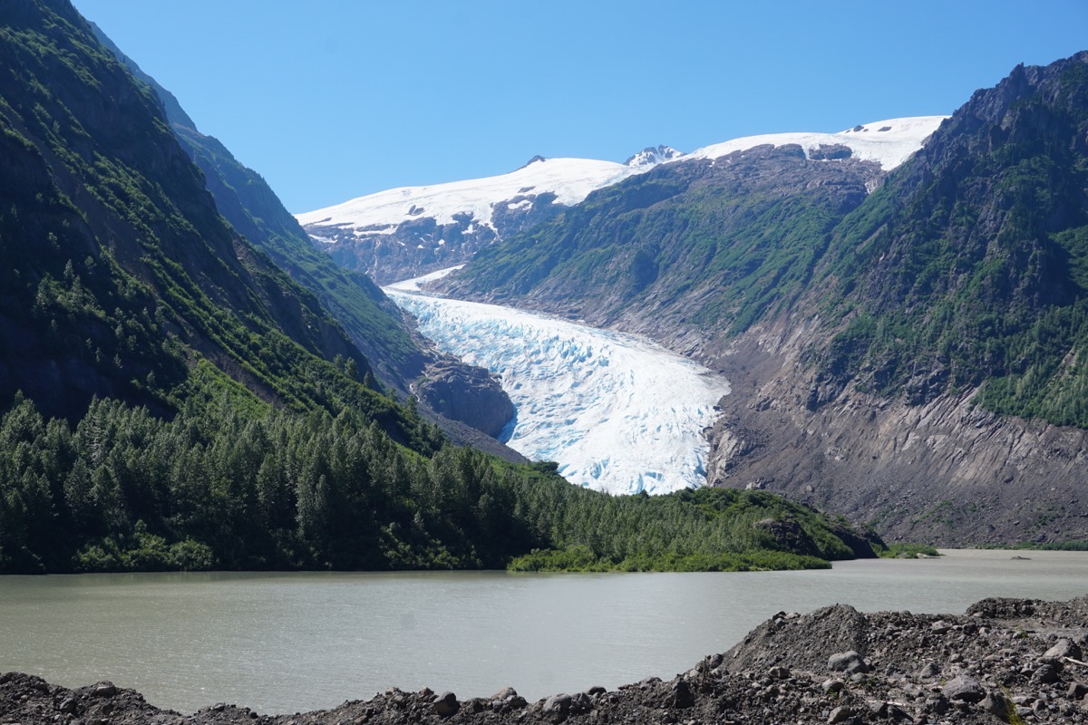
Bear Glacier on Highway 37A
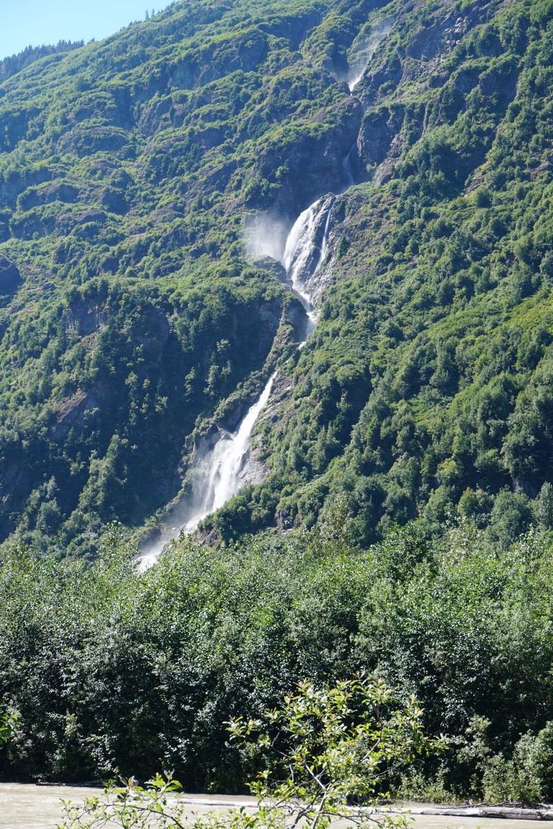
Cascading waterfall along the side of the road
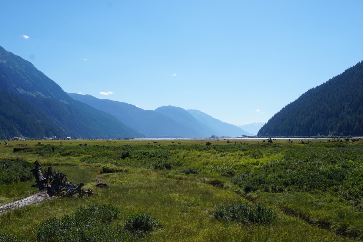
Stewart, BC views
Once we arrived in Stewart we stopped at the Visitor’s Center and picked up a brochure about the sights we needed to see. We learned that Stewart is Canada’s most northerly, ice free port. We started off walking a short distance on the boardwalk over the bird estuary, but there were no birds to view.
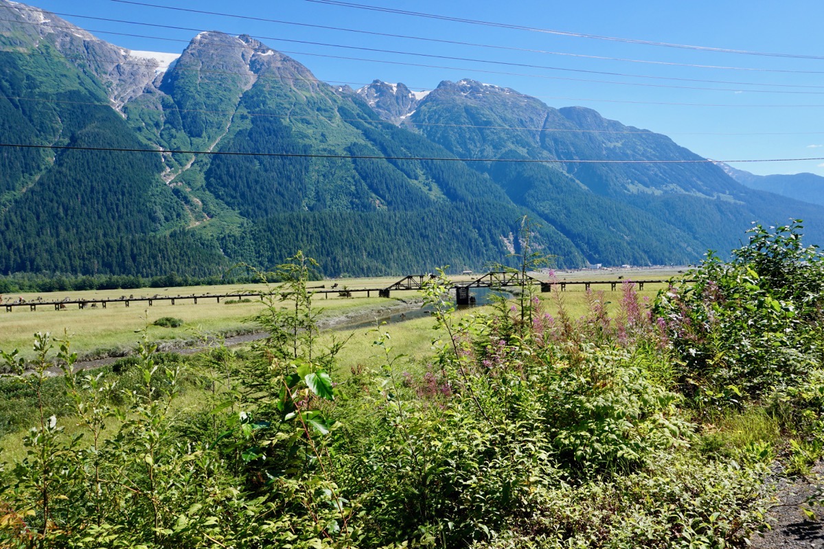
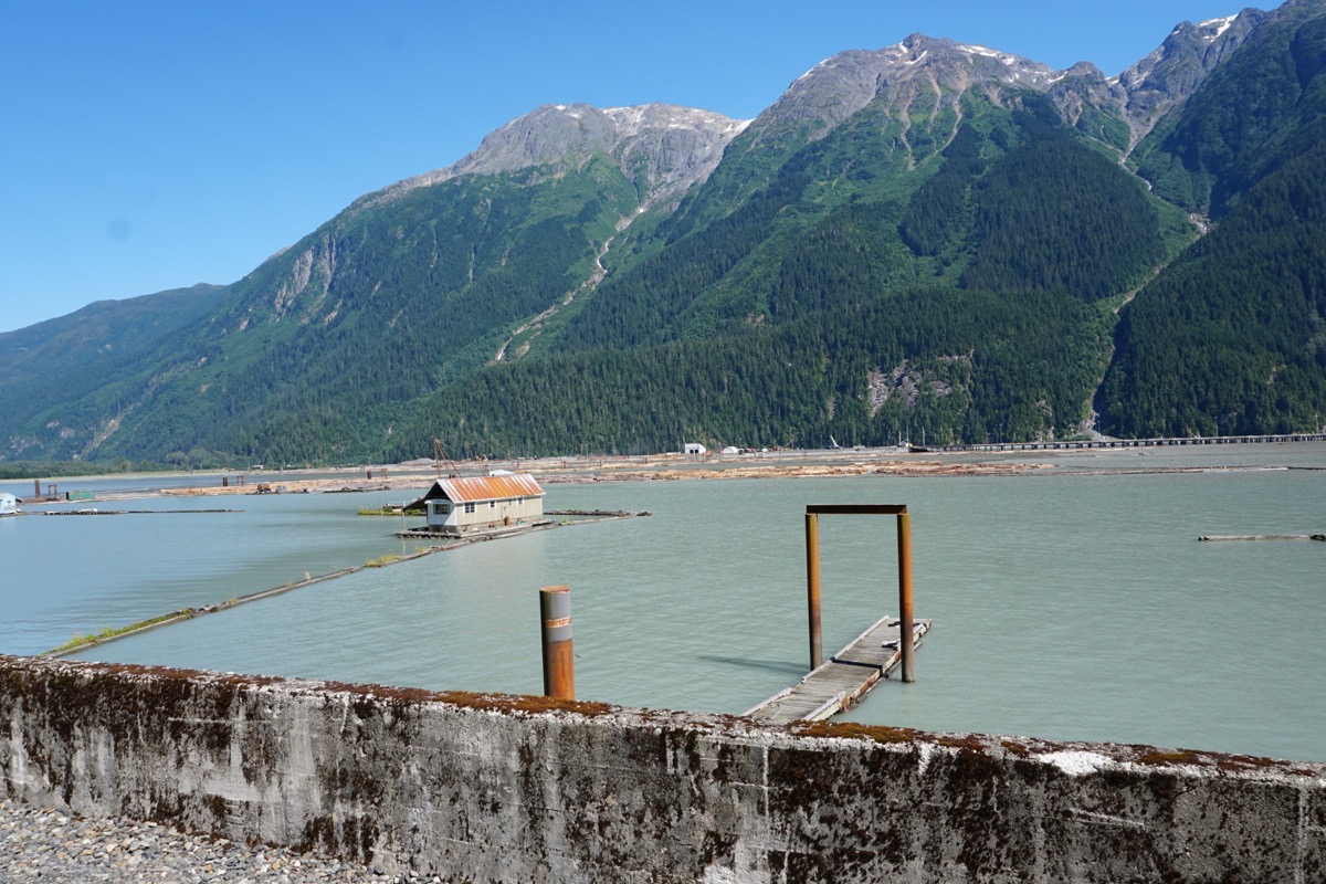
Across the Bear River is cut lumber waiting for transport.
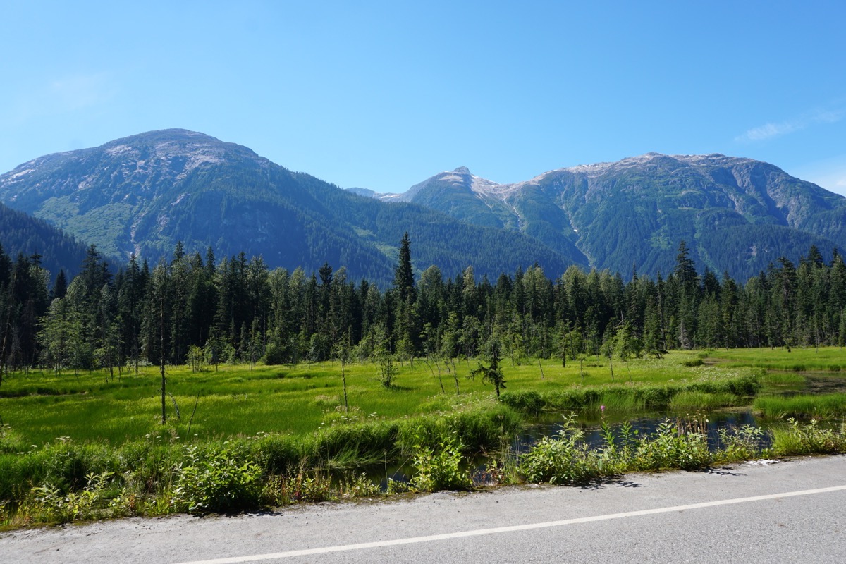
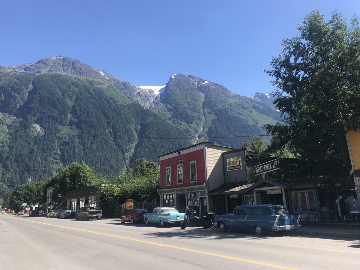
Downtown Stewart
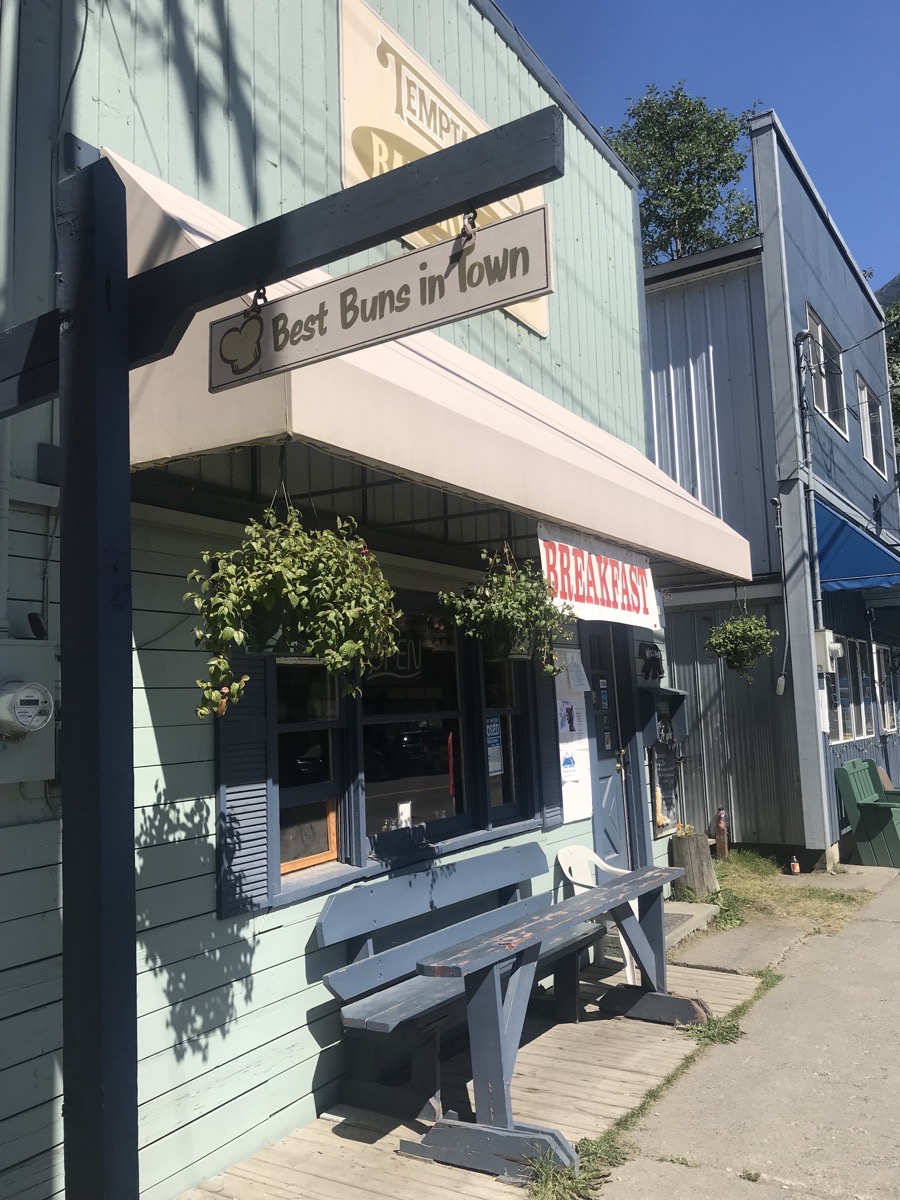
We took a drive from Stewart to Hyder, Alaska (which is only a few blocks) and then back to British Columbia. We weren’t stopped at the border going into Alaska, but we stopped at the border going back into British Columbia for a passport check.
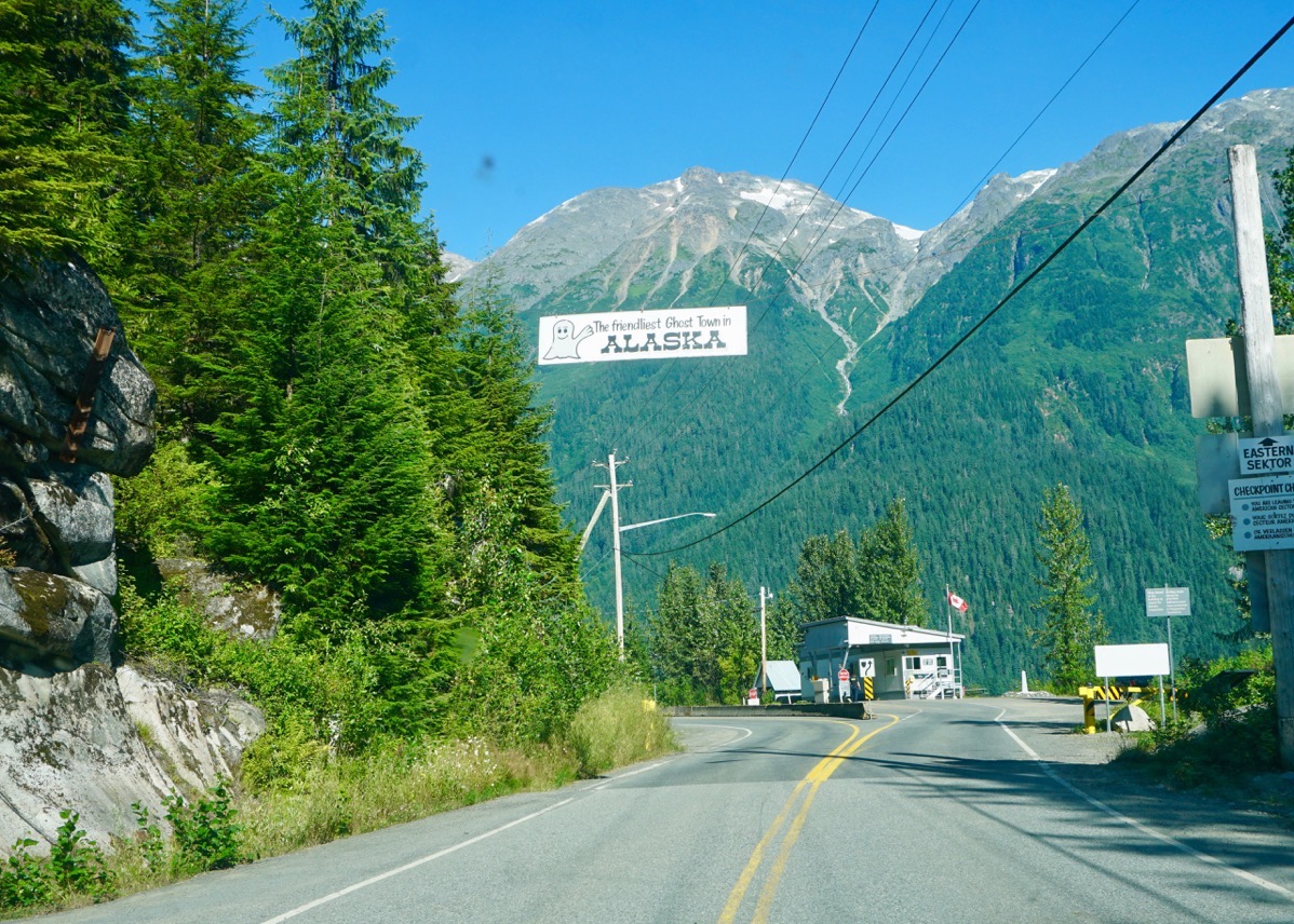
Our “Welcome to Alaska” sign.
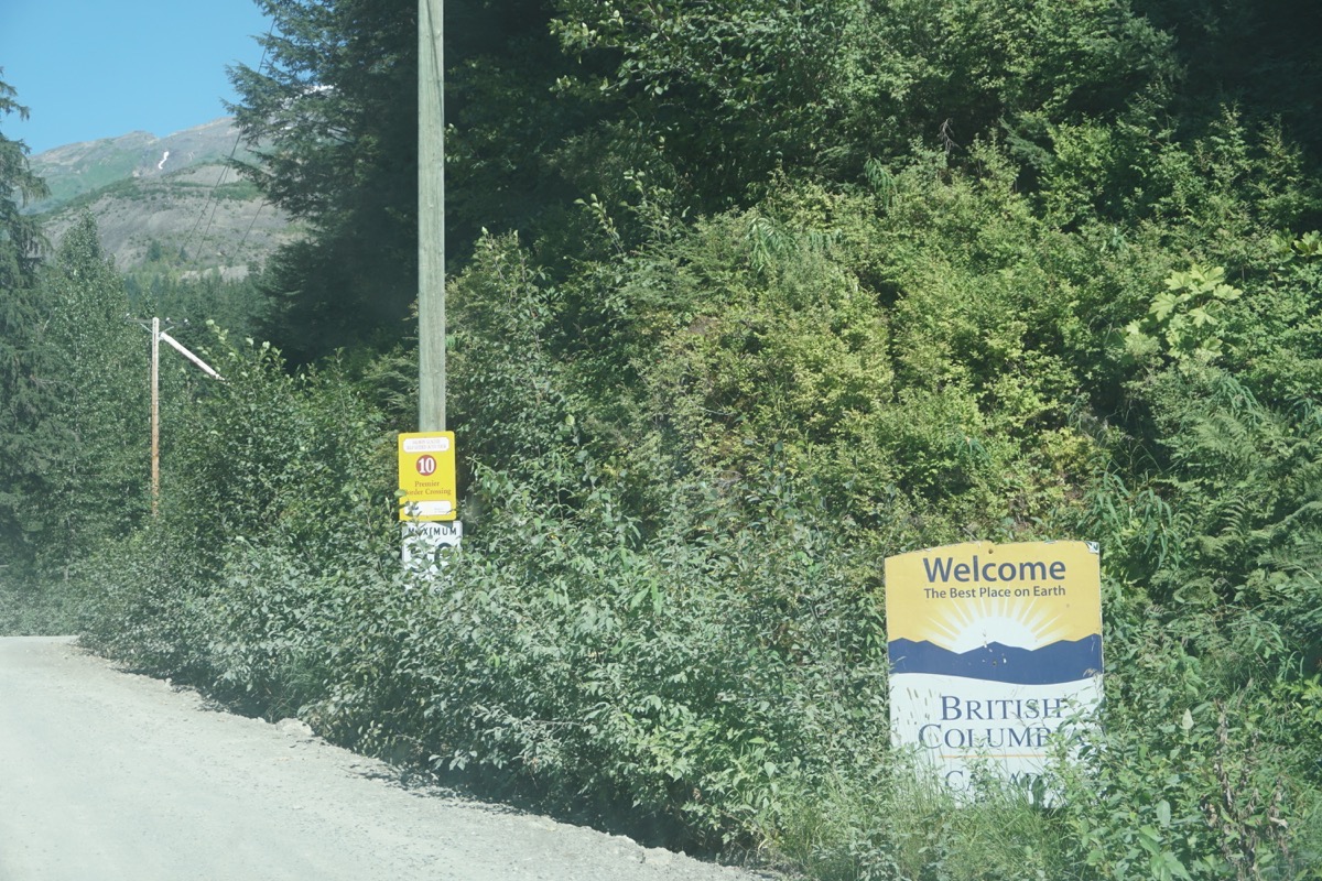
By the time we entered British Columbia the road turned to dirt and rock.
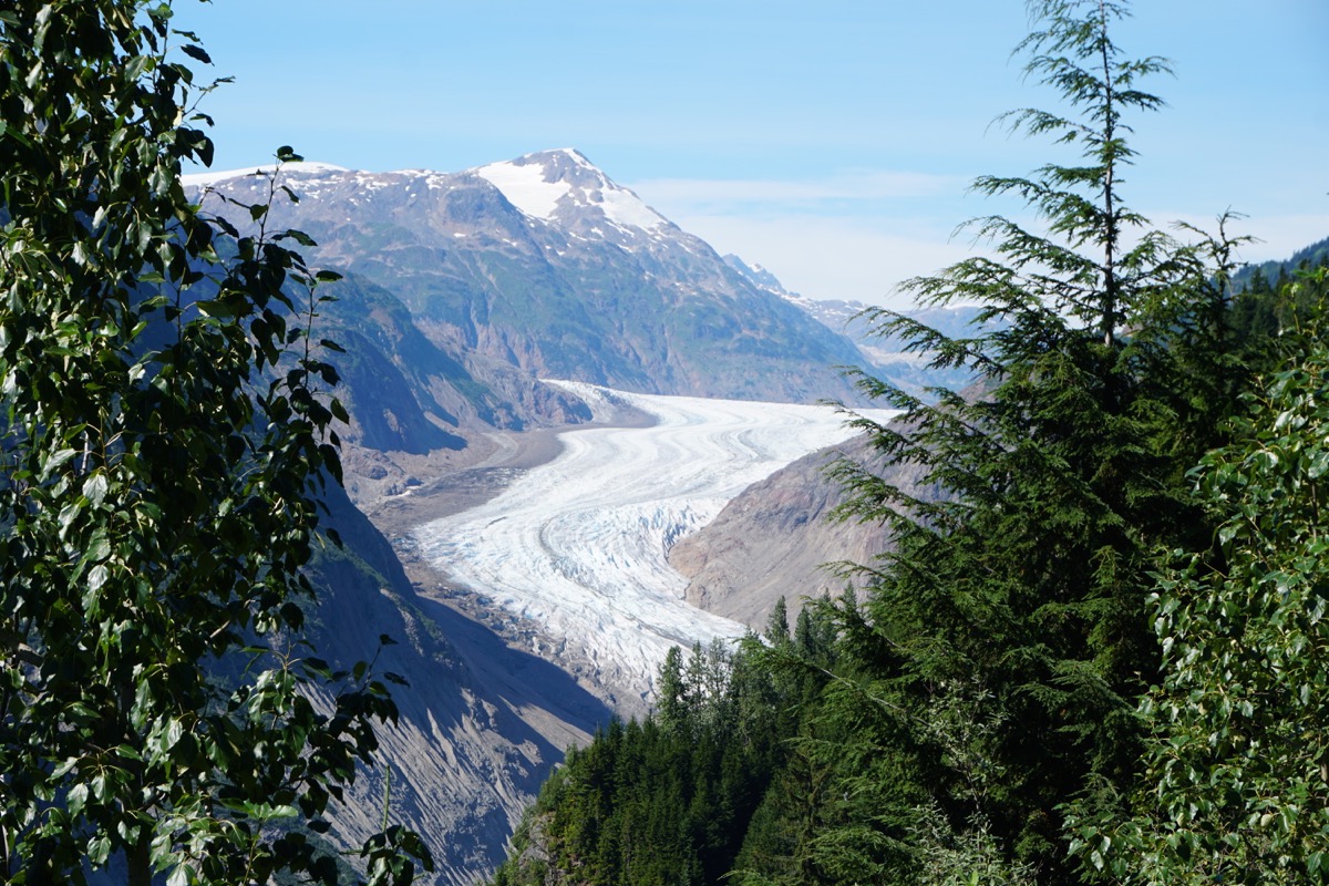
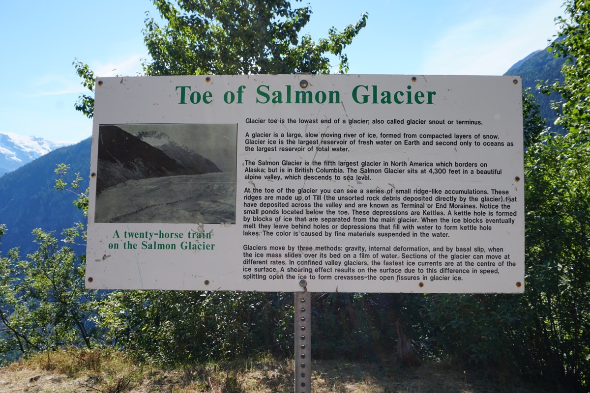
Salmon Glacier is the world’s largest road accessible glacier.
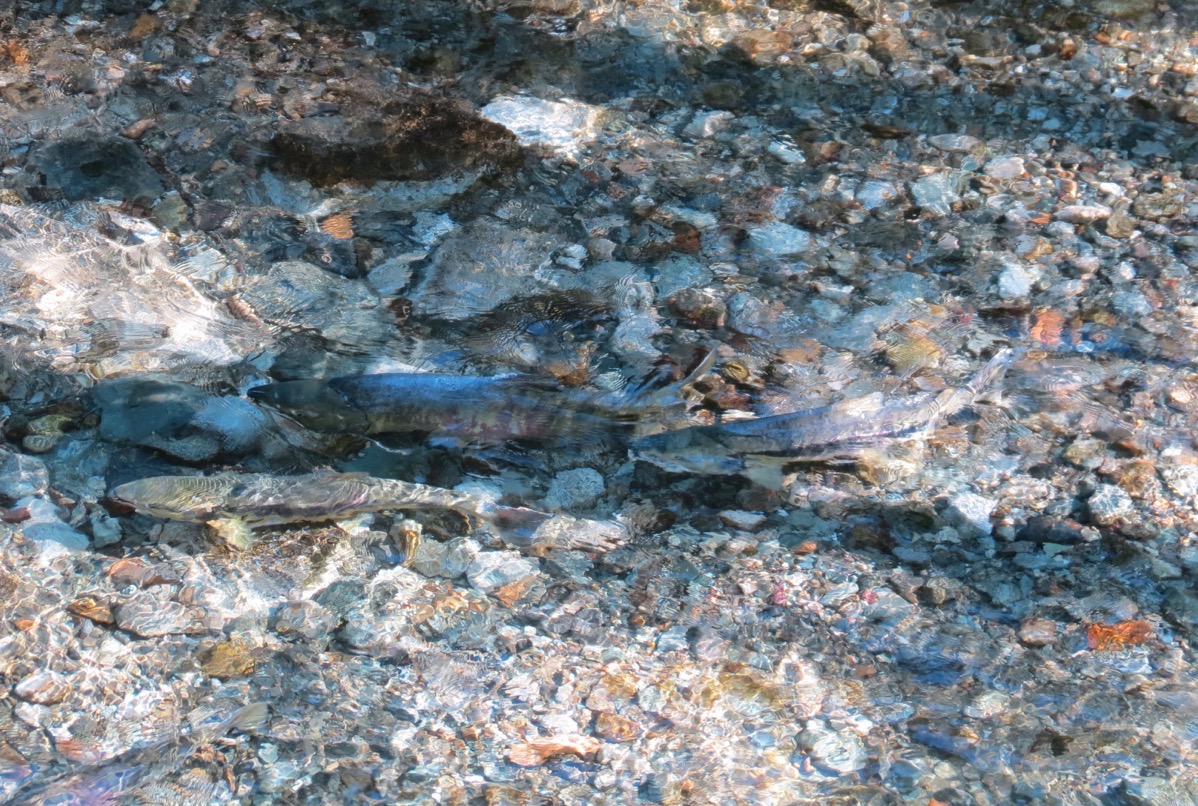
Look carefully and see the salmon in the crystal clear stream.
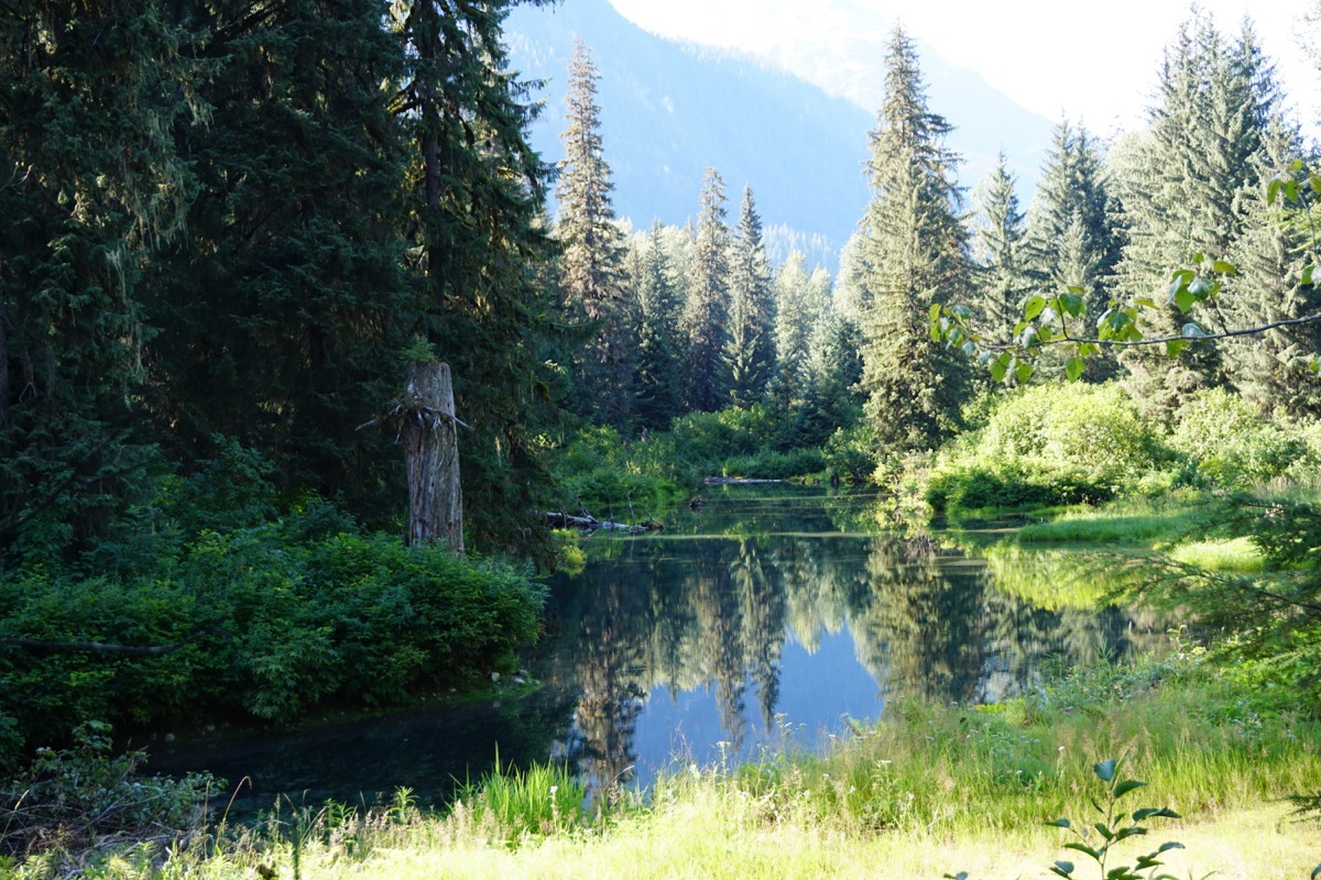
Trip Statistics
- We drove 157 miles in the motorhome and 117 miles in the Honda today. That’s a trip total of 9,023 miles so far.
- We purchased gas today at a cost of $4.387 a gallon. Trip total for gas so far is $3,102.35.
- Our beautiful campsite tonight at the Mezialan Lake Provincial Campground is $16.72 USD ($22 CAN).
-
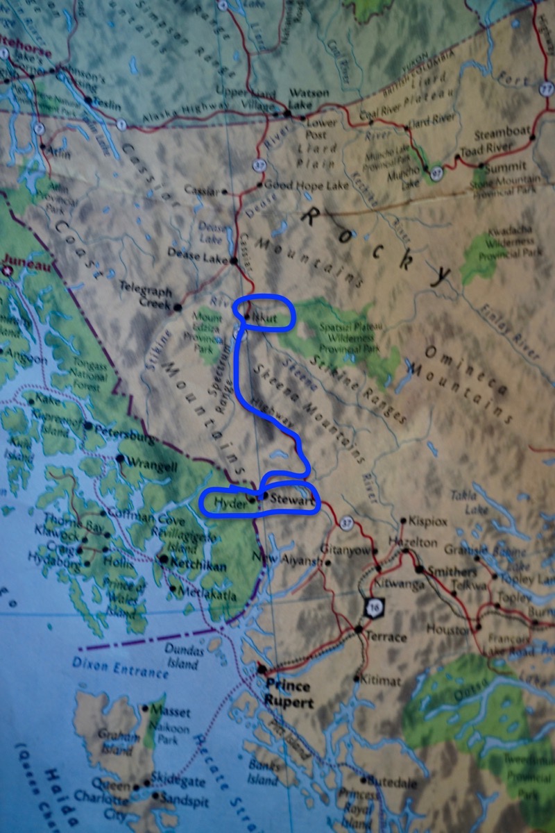
Day 63- The Cassiar Highway
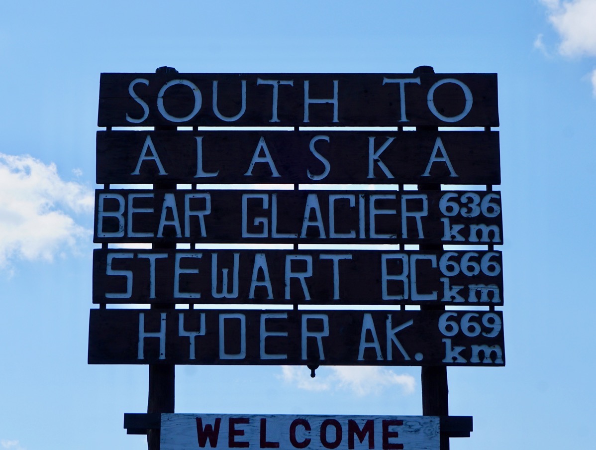
This morning we turned off the Alaska Highway near Watson Lake onto the Cassiar Highway. The first sign we saw was “South to Alaska. Bear Glacier 636 km, Stewart BC 666 km, Hyder, AK 669 km”
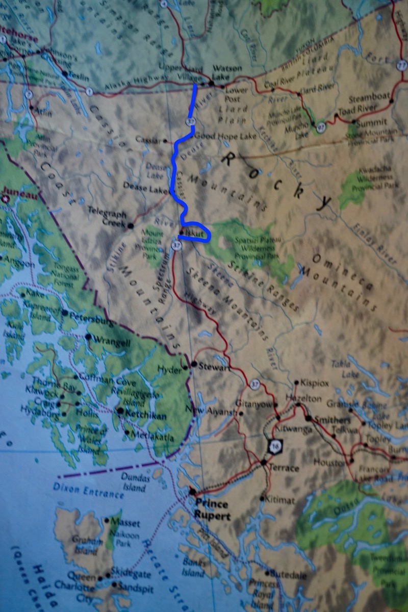
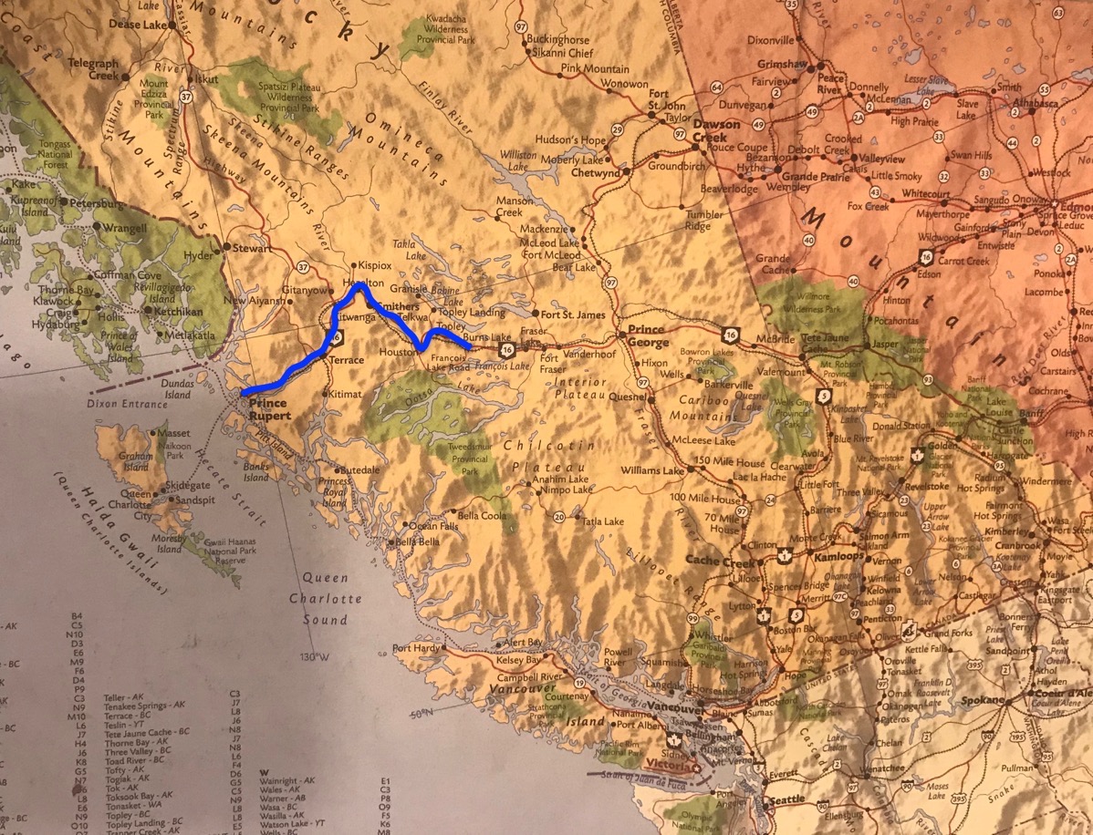
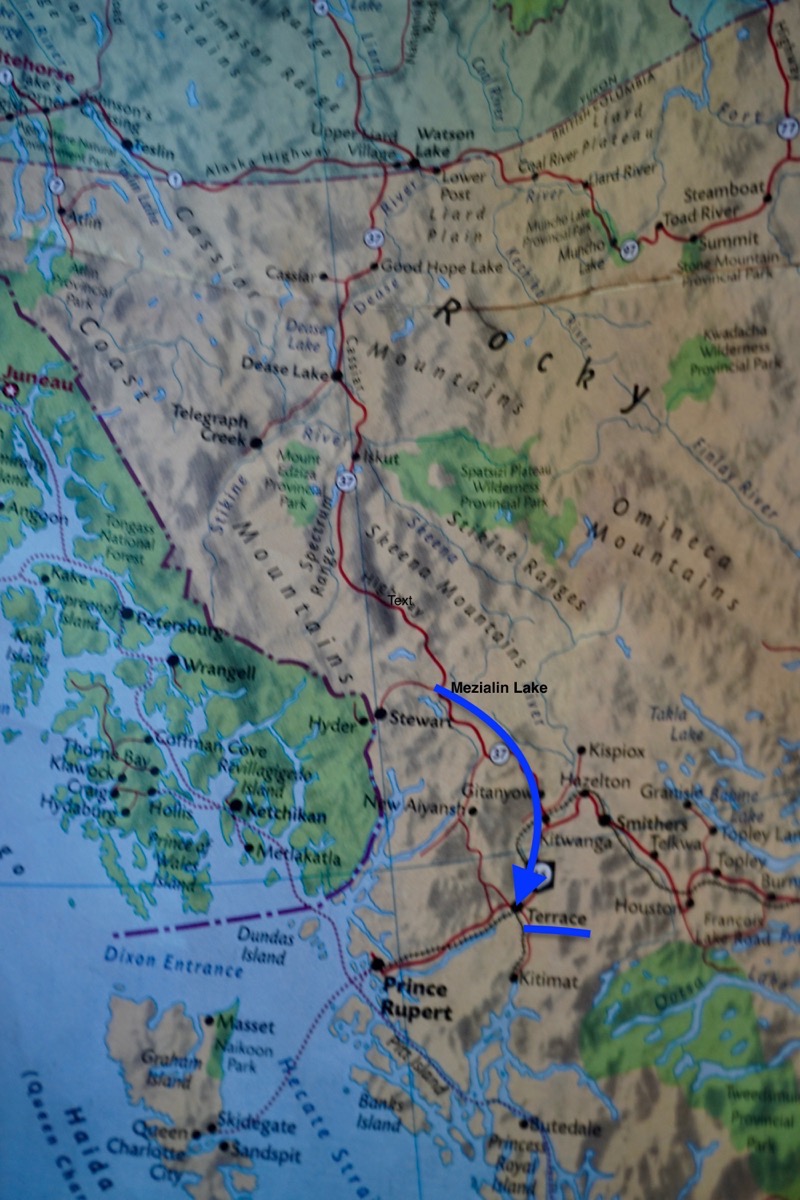
Today’s route was the blue line to Iskut. We turned off the Alaska Highway to follow this route, called the Cassiar Highway, and will ultimately drive to Prince Rupert, but will make a side trip to Stewart and Hyder, Alaska. This highway has no shoulder, no center line and is not quite a full two lane road, and we will be driving on it for 450 miles! The first twenty miles of the road we drove through burned out forest area, then we started seeing beautiful green trees and mountains.
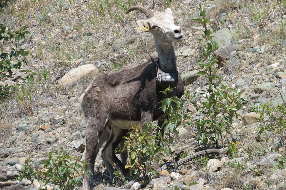
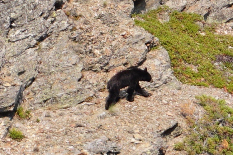
She was in the road when we first saw her, but she ran up the side of this mountain as we got closer. We noticed that she is wearing some sort of tracking device (and she was in the middle of nowhere!)
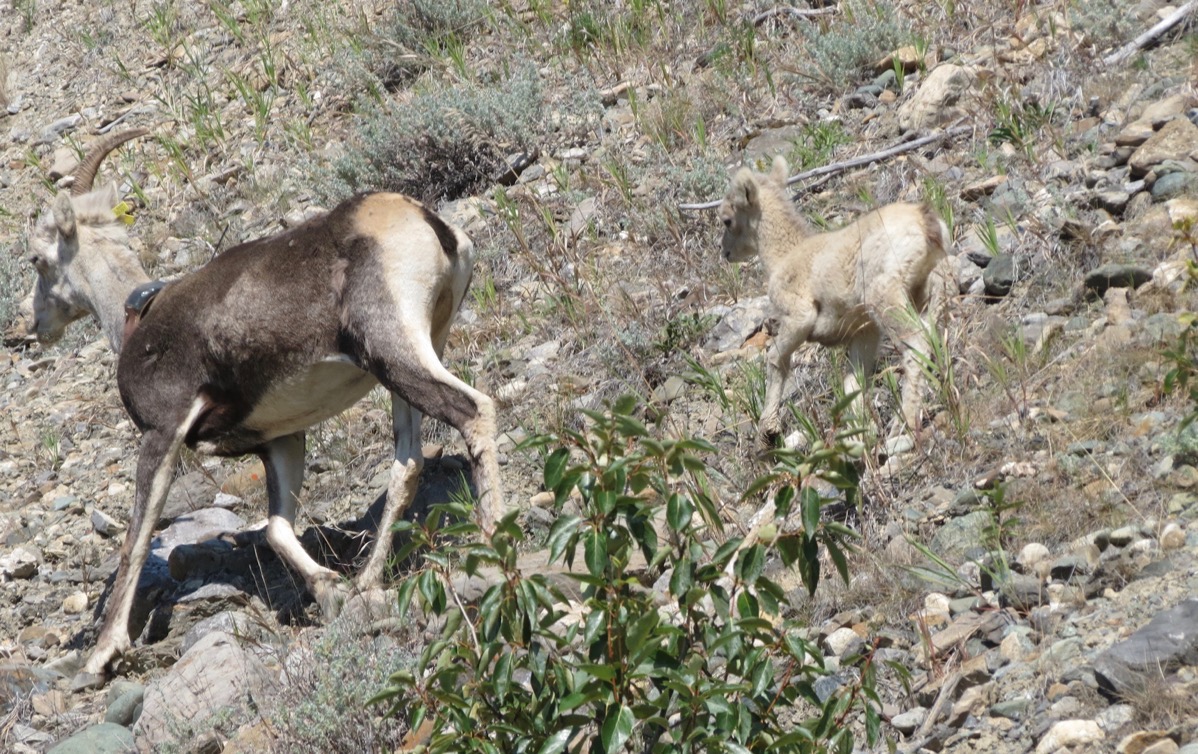
She and her kid were running away from us.
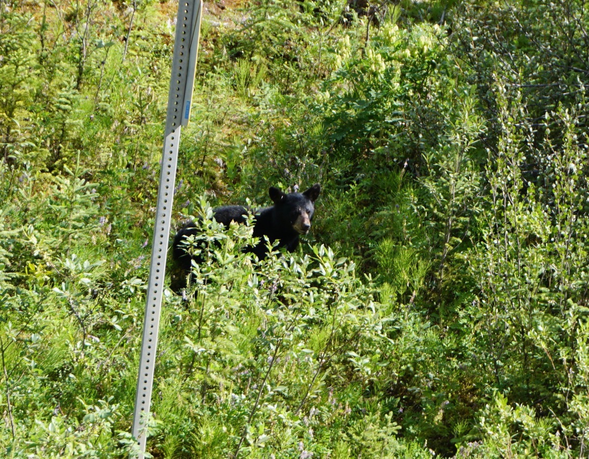
This black bear cub and it’s mama were right beside the road when we first spotted them.
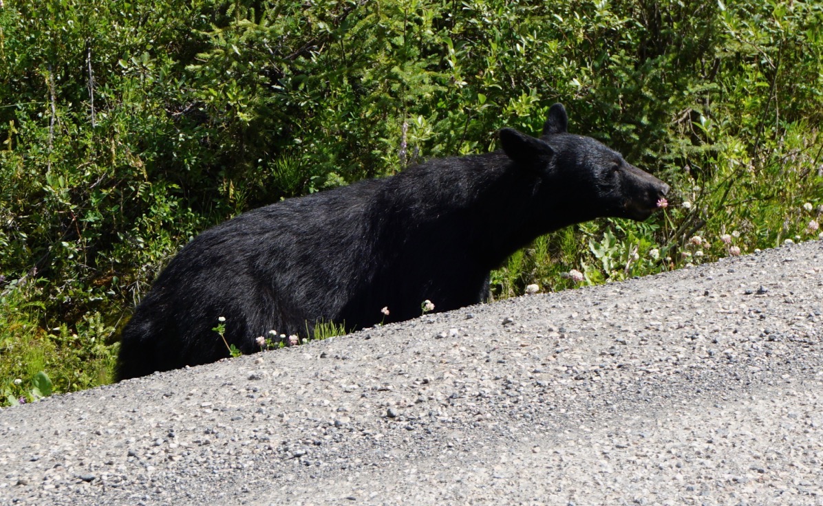
Mama bear is taking the time to smell the flowers.
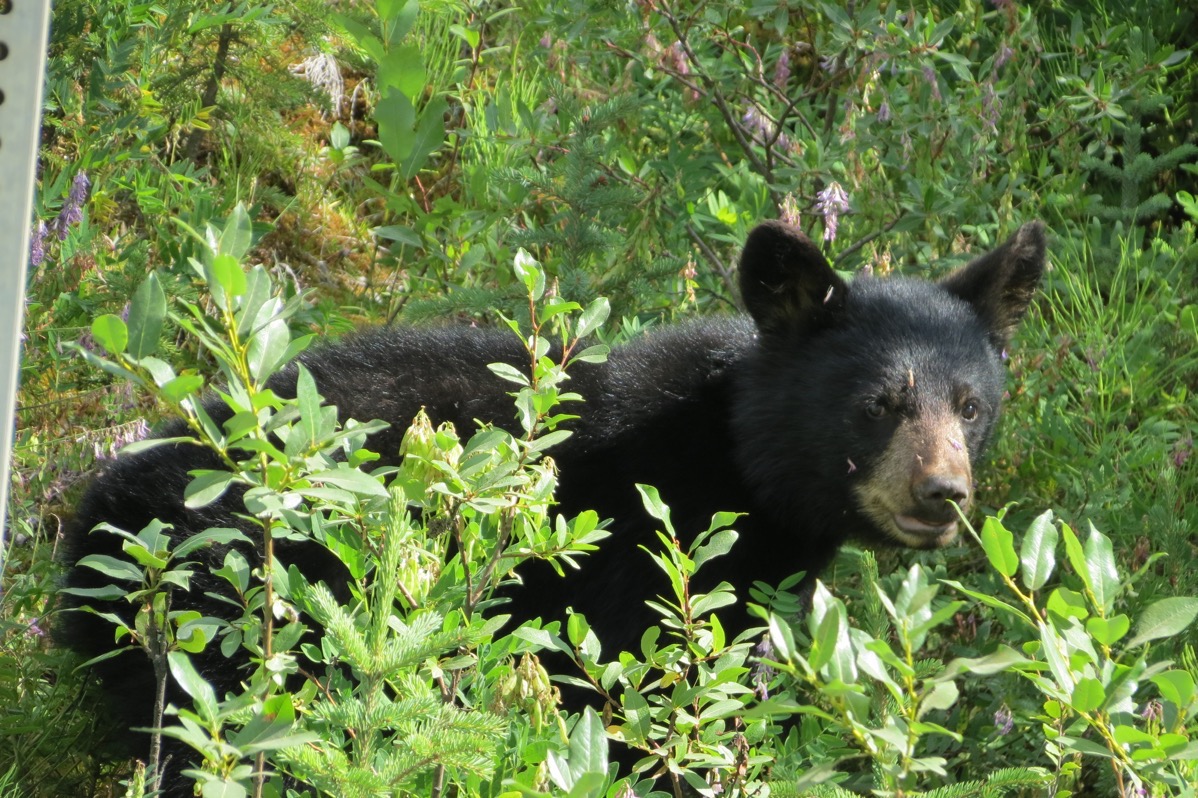
Close up of the little cube
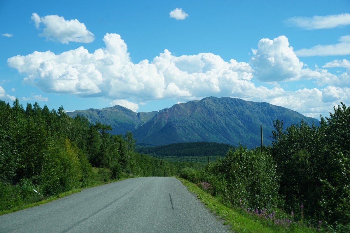
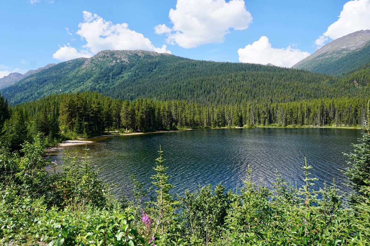
Sites along the way.
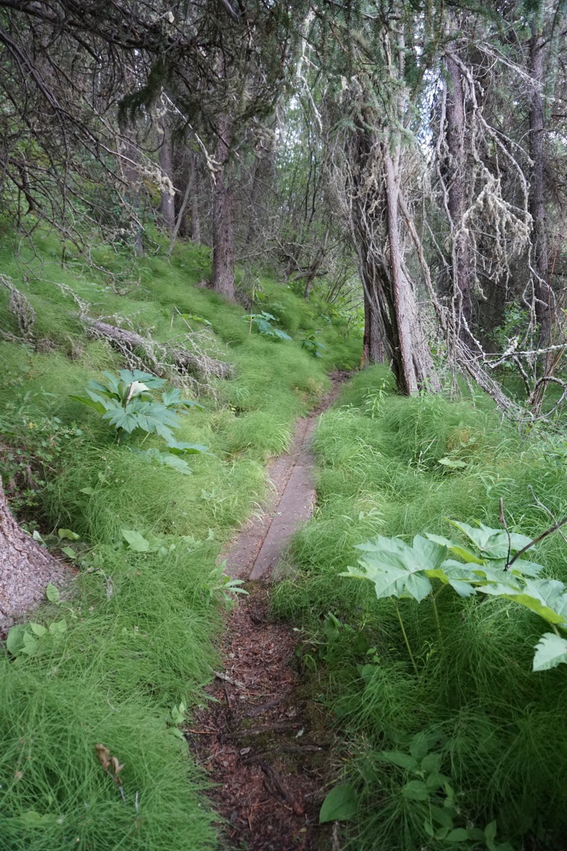
The hiking path in the Mountain Shadow RV Park where we are staying.
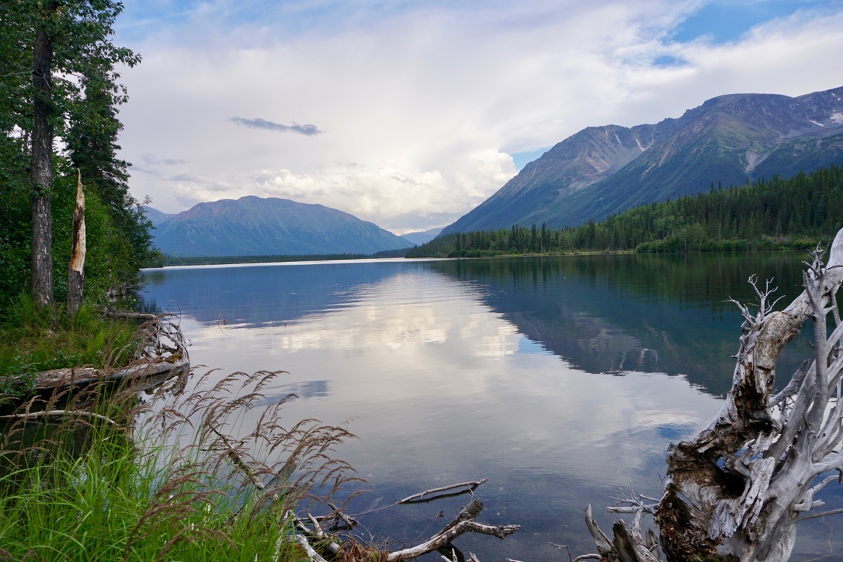
The trail’s destination
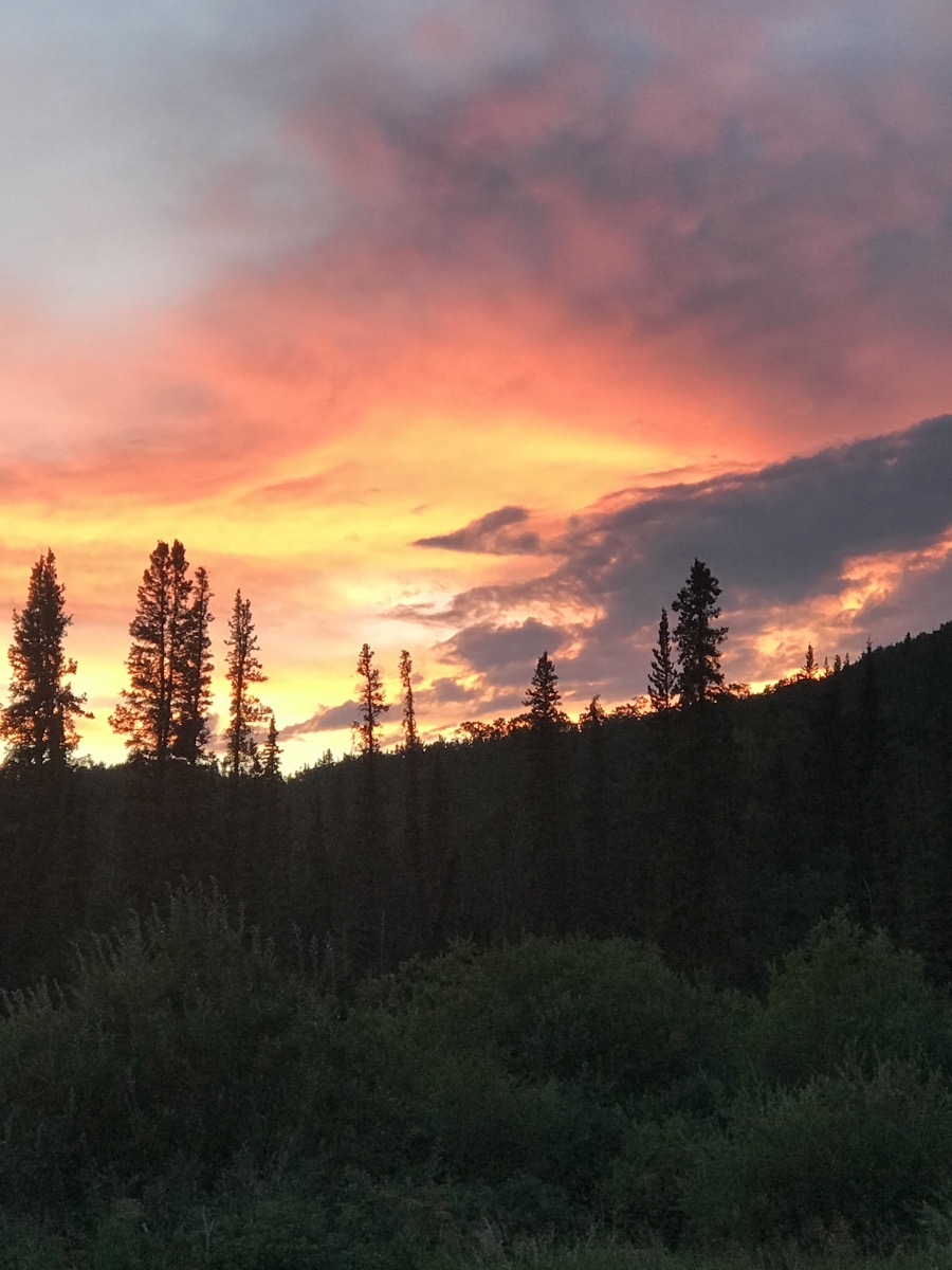
Day is done…
Trip Statistics
- We are staying at the Mountain Shadow RV Park for $29.64 USD ( $39 CAN). Total campground cost so far is $1,927.42, or an average of $30.59 per night.
- We drove 154 miles today. Our total trip mileage 8,749 miles.
-
Day 62 - Whitehorse to Nugget City (near Watson Lake)
We left Whitehorse around 10:30 and drove 253 miles to Nugget City, near Watson Lake. We are staying at the Baby Nugget RV Park where we have no phone or data reception.
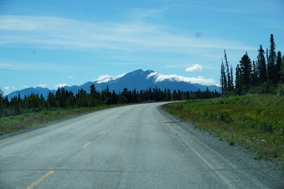
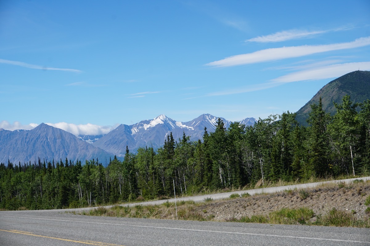
Sights along the way
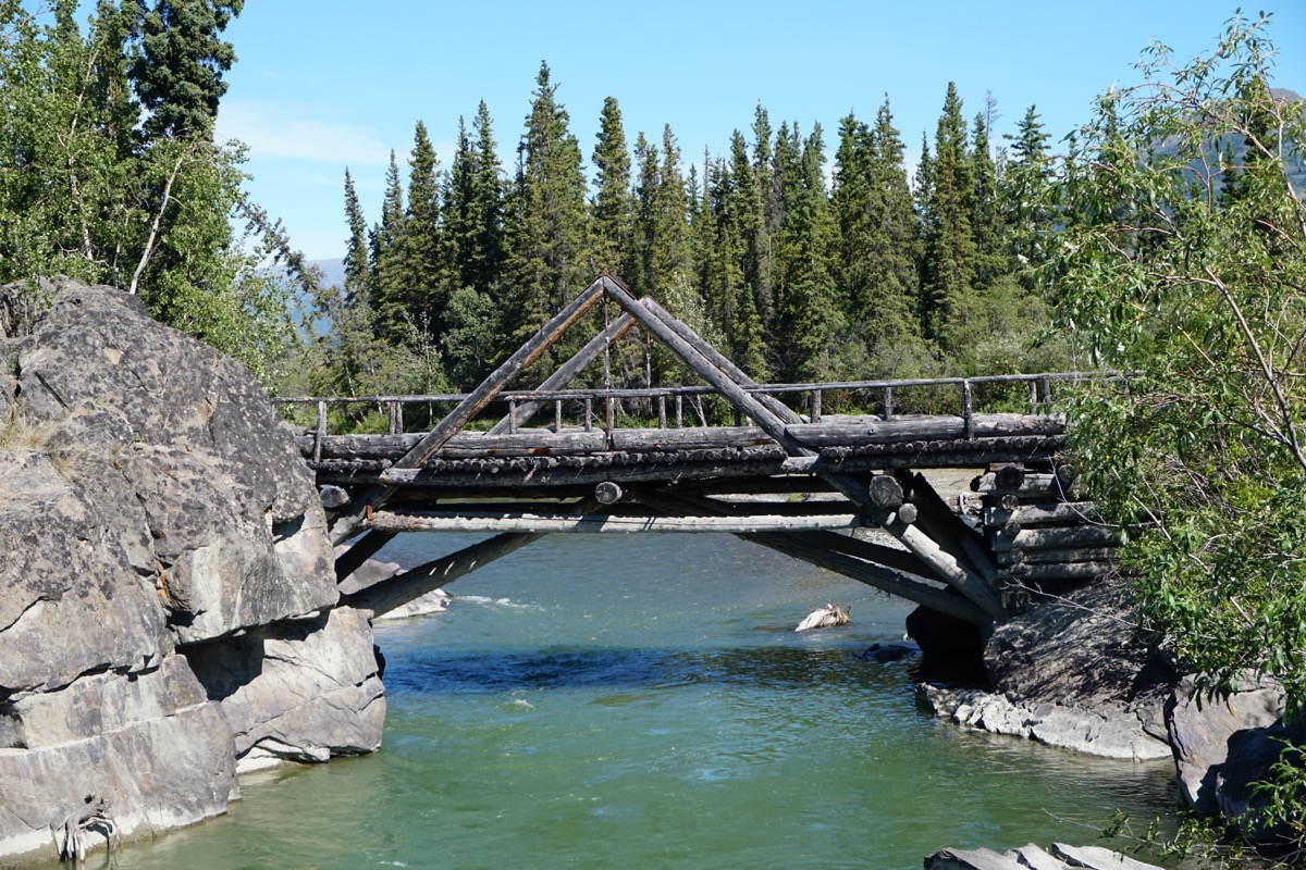
A bridge at a rest area that was build in 1910 (and now closed to vehicular traffic)
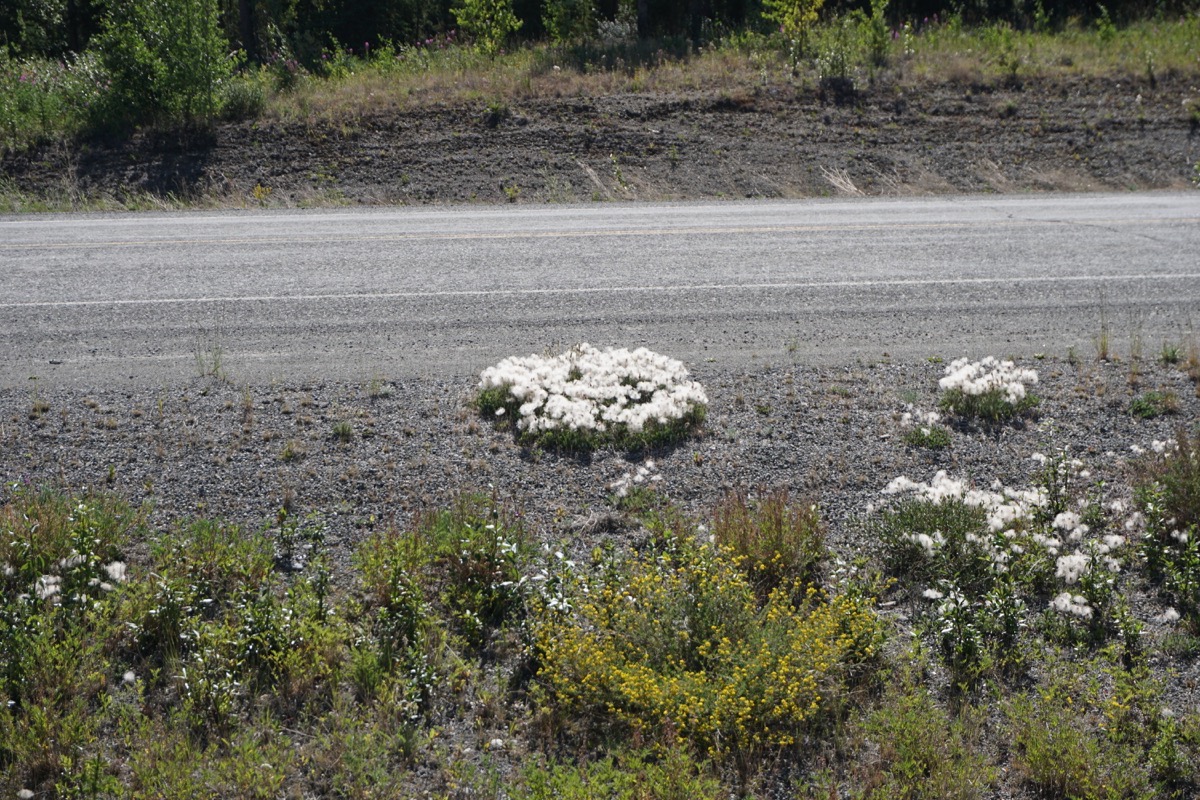
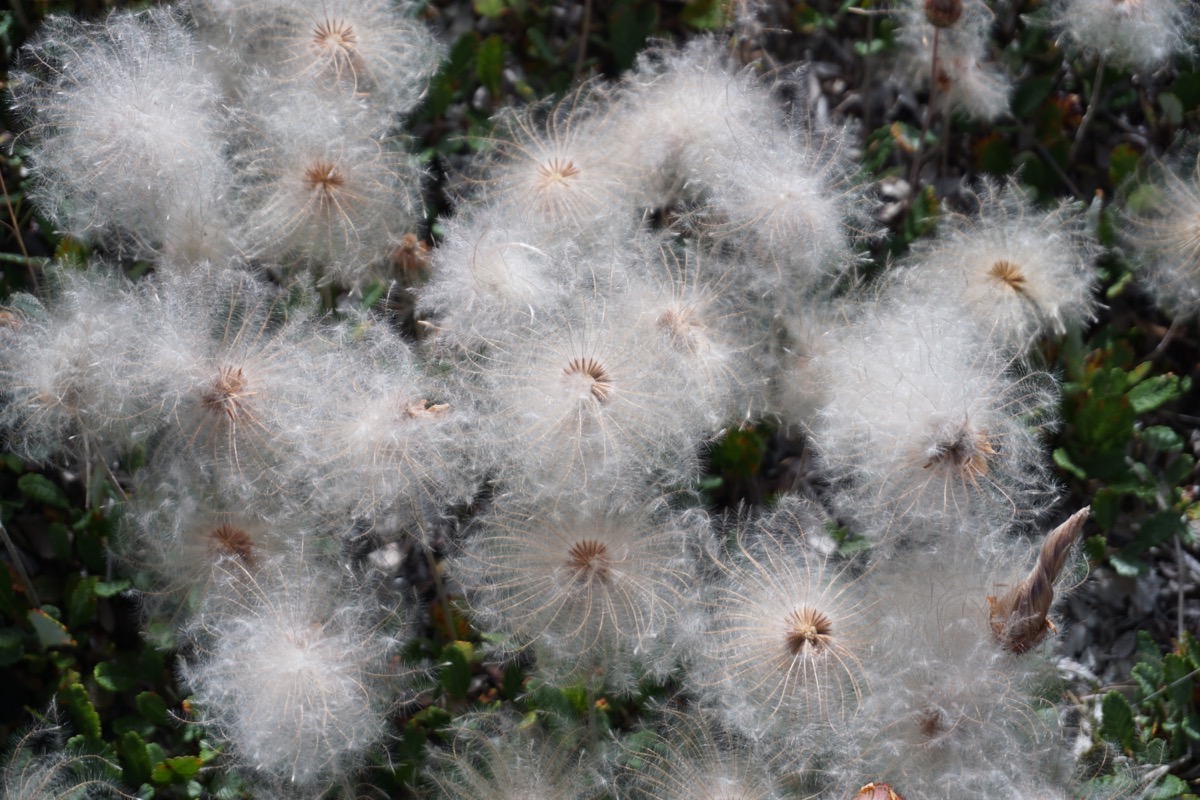
On our drive today these clumps of dandelions were all along the road. I never saw them in big circles like this in the lower 48.
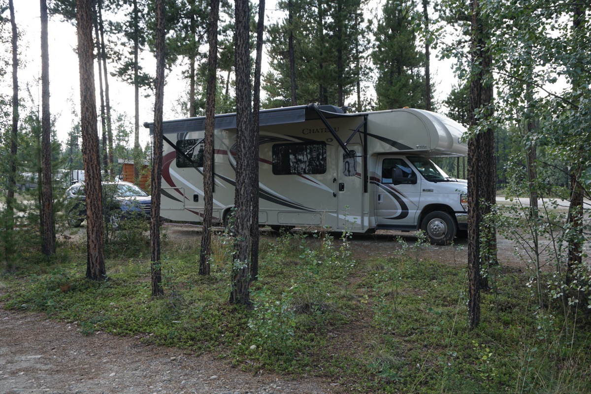
Our campsite for tonight
Trip Statistics
- The campground was $34.20 in USD ($45 CAN). Which makes the total be $1897.78, or an average of $30.61 per night.
- We purchased gas today at $4.152 per gallon. The total spent on gas so far is $2,949.19.
- Total miles driven so far on the trip is 8,555.
-
Days 60 and 61- Whitehorse
Friday, July 29 Destruction Bay to Whitehorse
We drove from Destruction Bay in to Whitehorse, Yukon today which was 144 miles. When we arrived in Whitehorse it was sunny and 79 degrees. We camped in the Whitehorse Walmart parking lot tonight with 39 other motorhomes and campers so tonight’s cost is FREE!
Gas today was $4.185 a gallon in Whitehorse today.
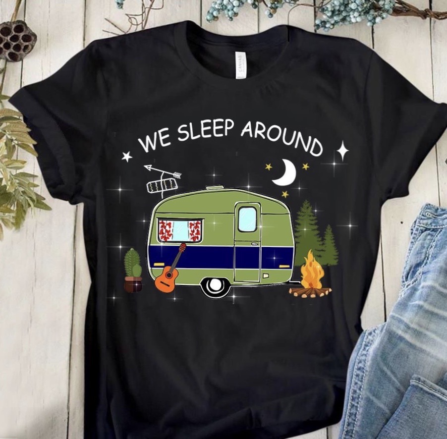
I ordered this shirt that came up on my Facebook feed today!
Saturday, July 28 - Whitehorse
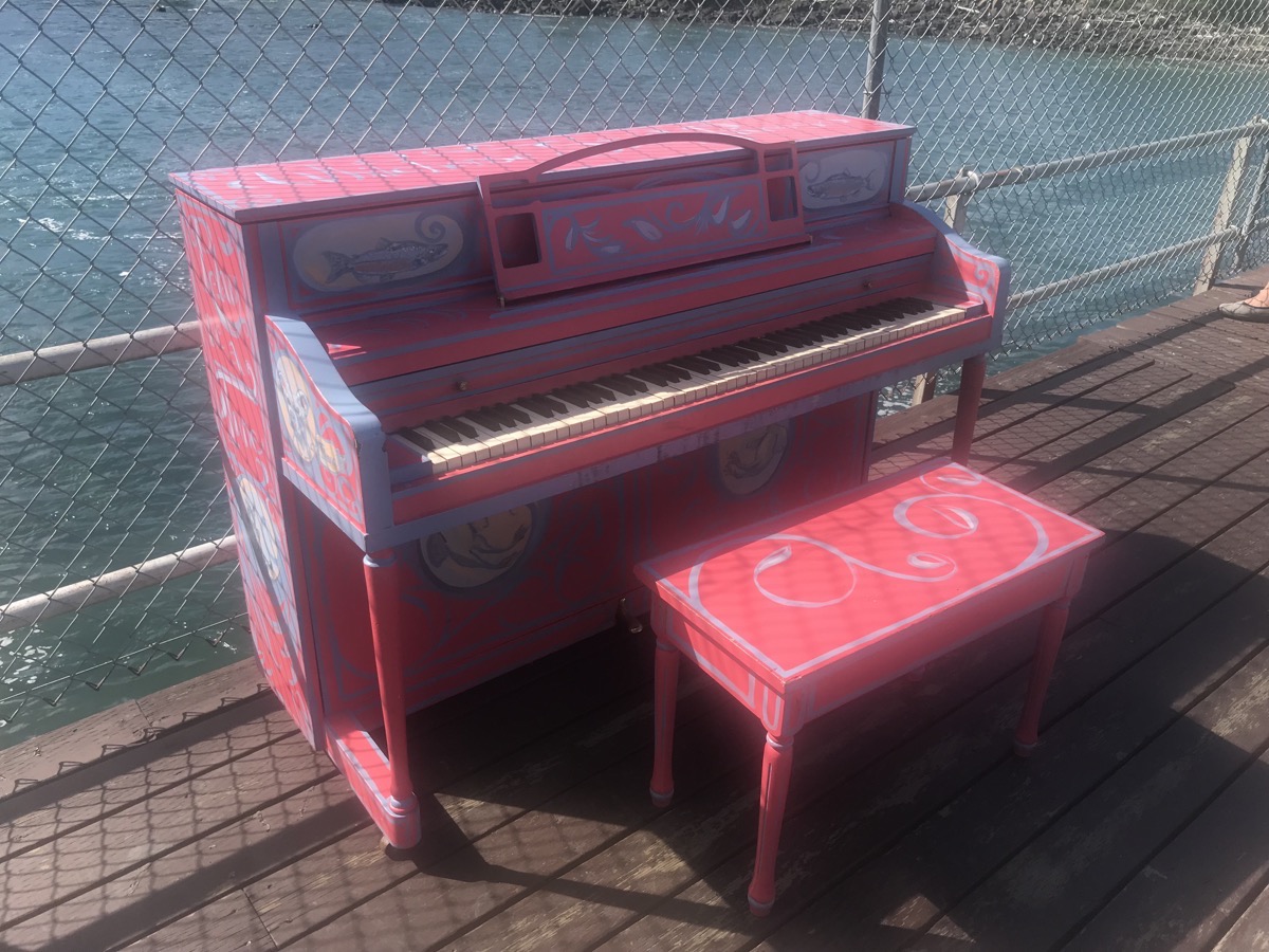
Today was another beautiful sunny day with a temperature of 72. We rode our bicycles from the Klondike boat to the fish ladder and back which was 3.75 miles. While we were at the fish ladder, we noticed this painted piano out on the deck. Later in the afternoon we went to the Yukon Transportation Museum and saw the blue painted piano. These are two examples of the Whitehorse Street Pianos Project.
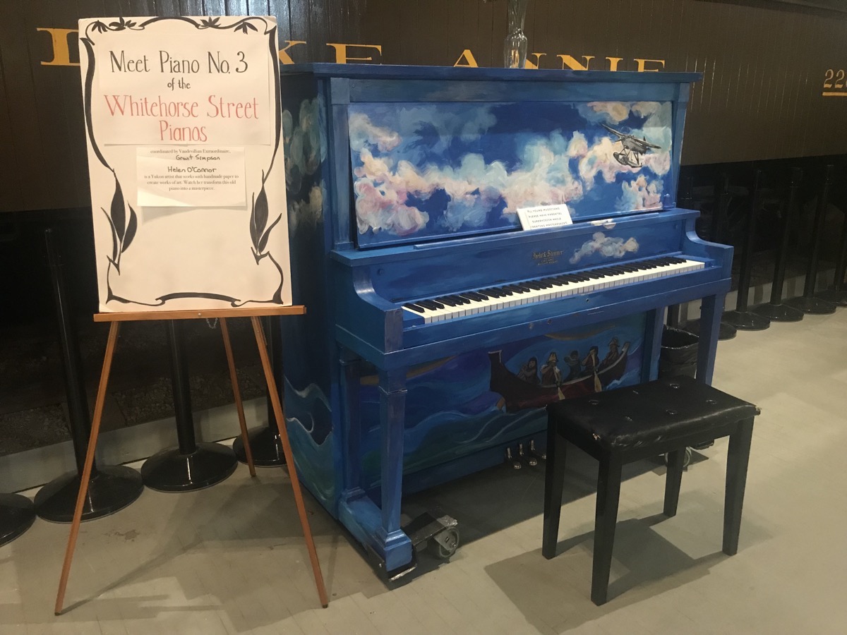
The message on this piano reads, “All young musicians please have adult supervision while creating masterpieces.”
Yukon Transportation Museum
The transportation Museum was small, but it had some interesting artifacts from the Yukon’s history.
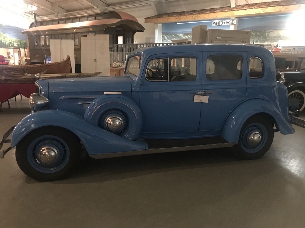
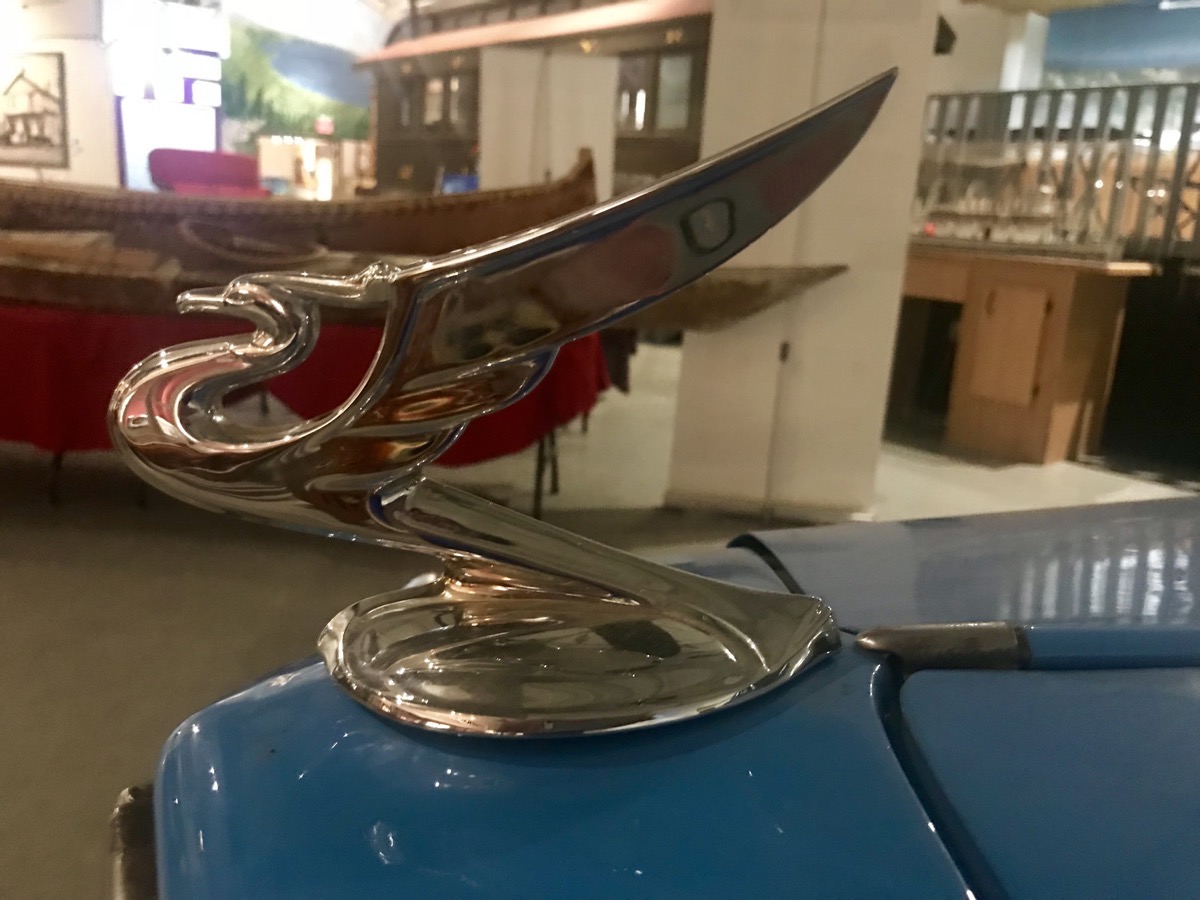
The Chevrolet’s hood ornament
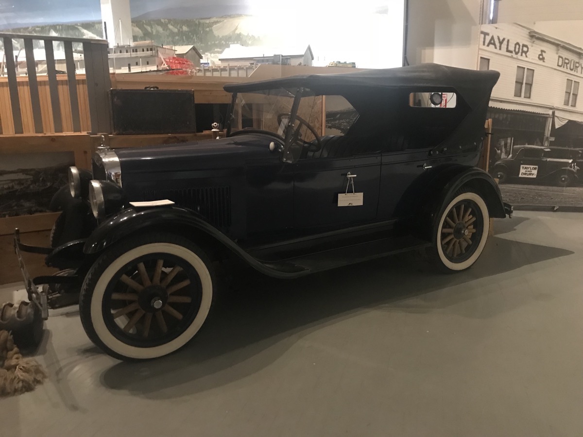
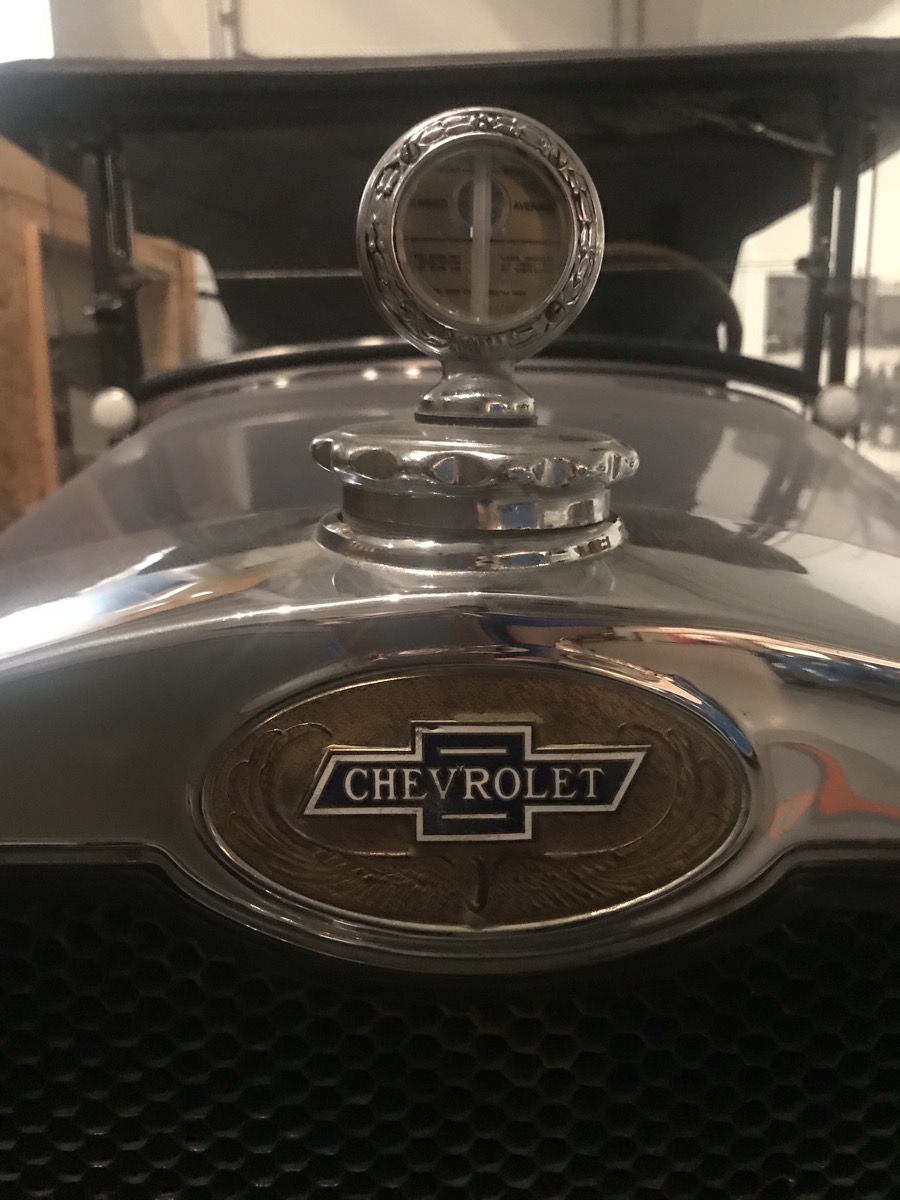
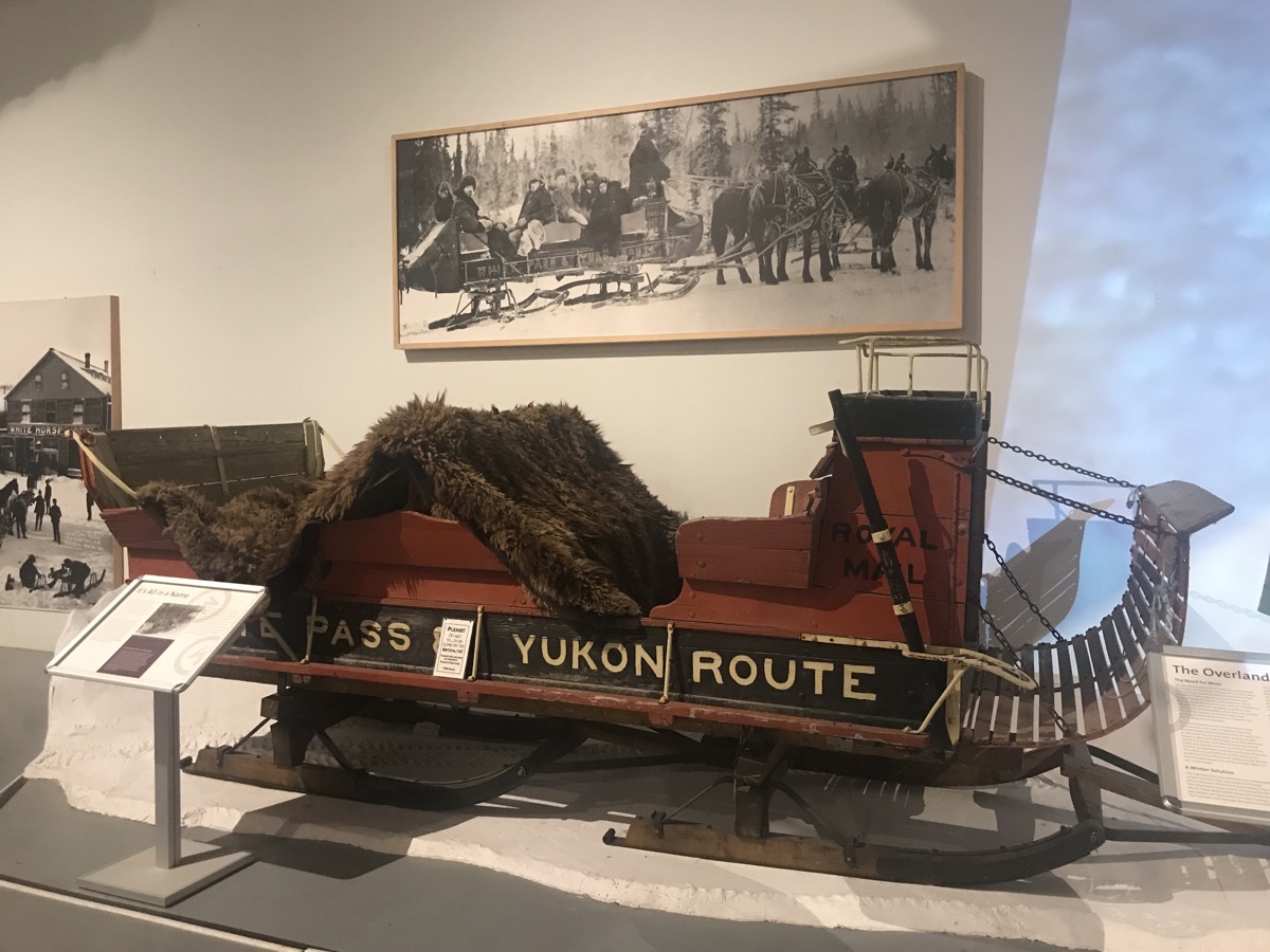
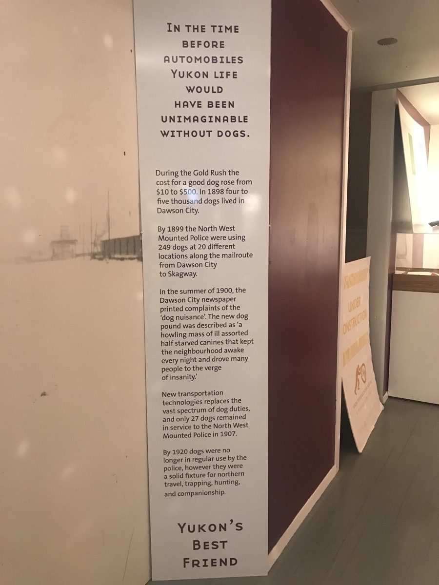
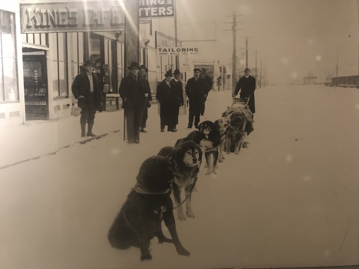
From this sign: “During the Gold Rush the cost for a good dog rose from $10 to 500. In 1898 four to five thousand dogs lived in Dawson City…”
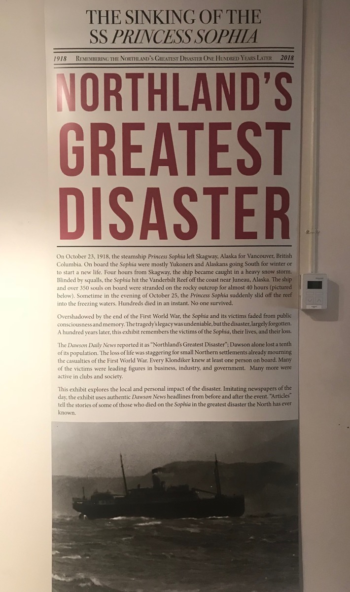
1918 - On October 23, 1918 the steamship Princess Sophia left Skagway for Vancouver. On board were mostly Yukoners and Alaskans going south for the winter. Four hours out of Skagway the ship became caught in a heavy snow storm. Blinded by squalls, the Sophia hit the Vanderbilt Reef off the coast of Juneau. Over 350 people were stranded on the rocky outcrop for nearly 40 hours. On October 25 the ship slid off the reef and slid into the freezing water, killing everyone on board.
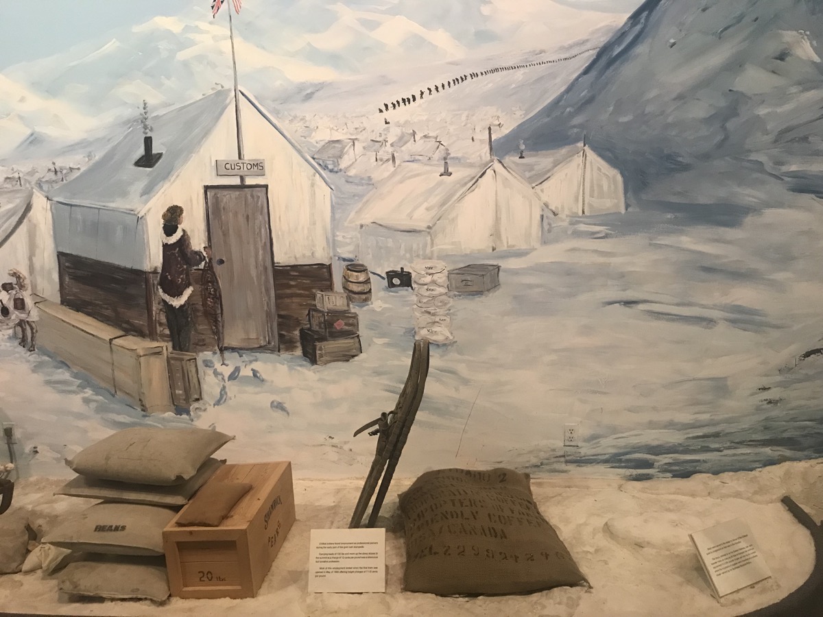
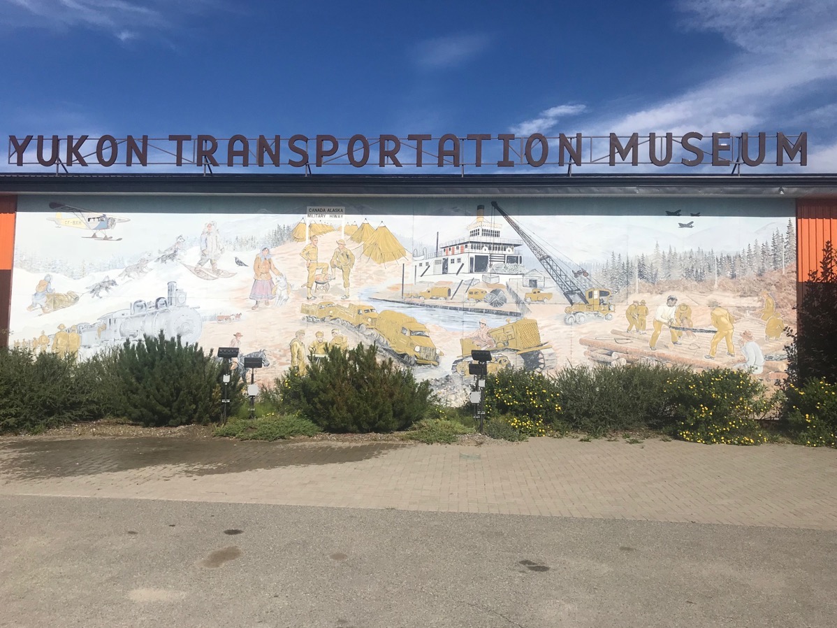
A full wall mural depicting the stash of food and supplies all men who entered Canada for the Goldrush were required to bring. The sign reads, “Chilkat Indians found employment as professional packers during the early portion of the gold rush stampede. Carrying loads of 100 lbs. and more up the steep slopes to the first summit at a charge of 12 cents per pound was a strenuous but lucrative profession.”
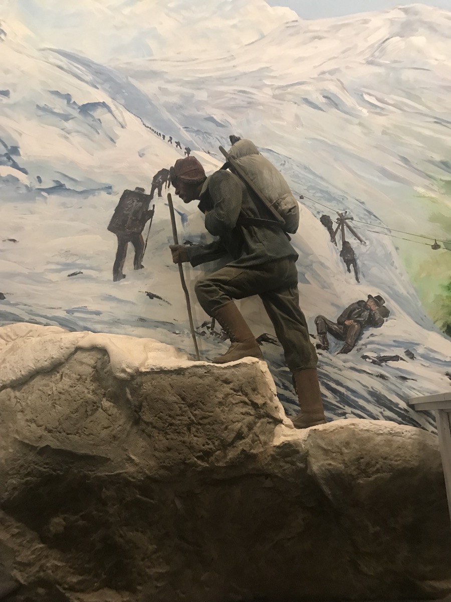
Another full wall mural showing the Goldrush men Hiking over the Chilhoot Pass.
-
Day 59 -On the Road from Tok to Destruction Bay
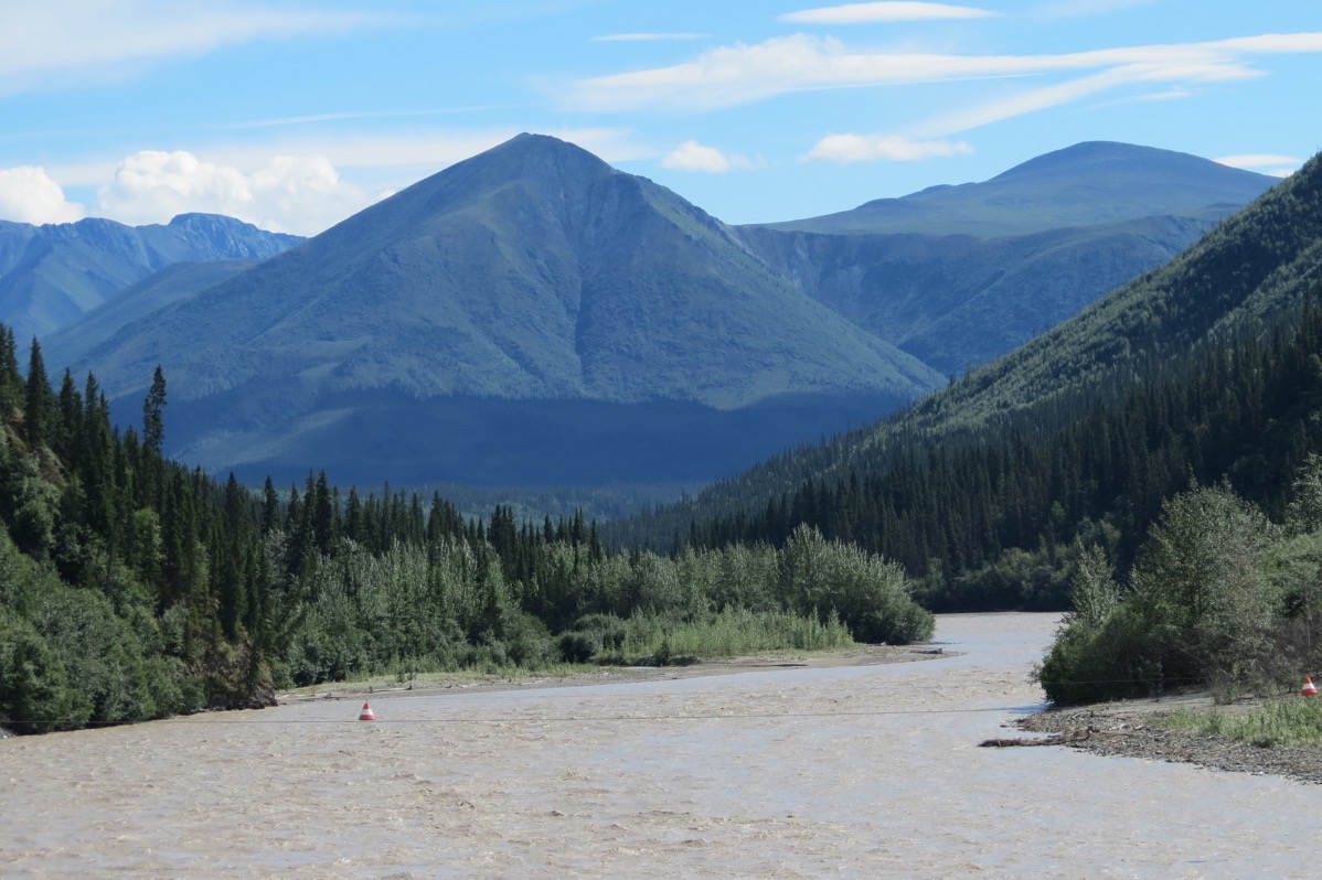
Today was a driving day as we crossed from Alaska into the Yukon. We were back on the Alaska Highway all day and today’s portion was not in great shape. There were lots of potholes, gravel and dust. The fact that we washed the car and the camper in Tok yesterday was a useless task, because after the drive today, they are both just as filthy as they were before we washed them.
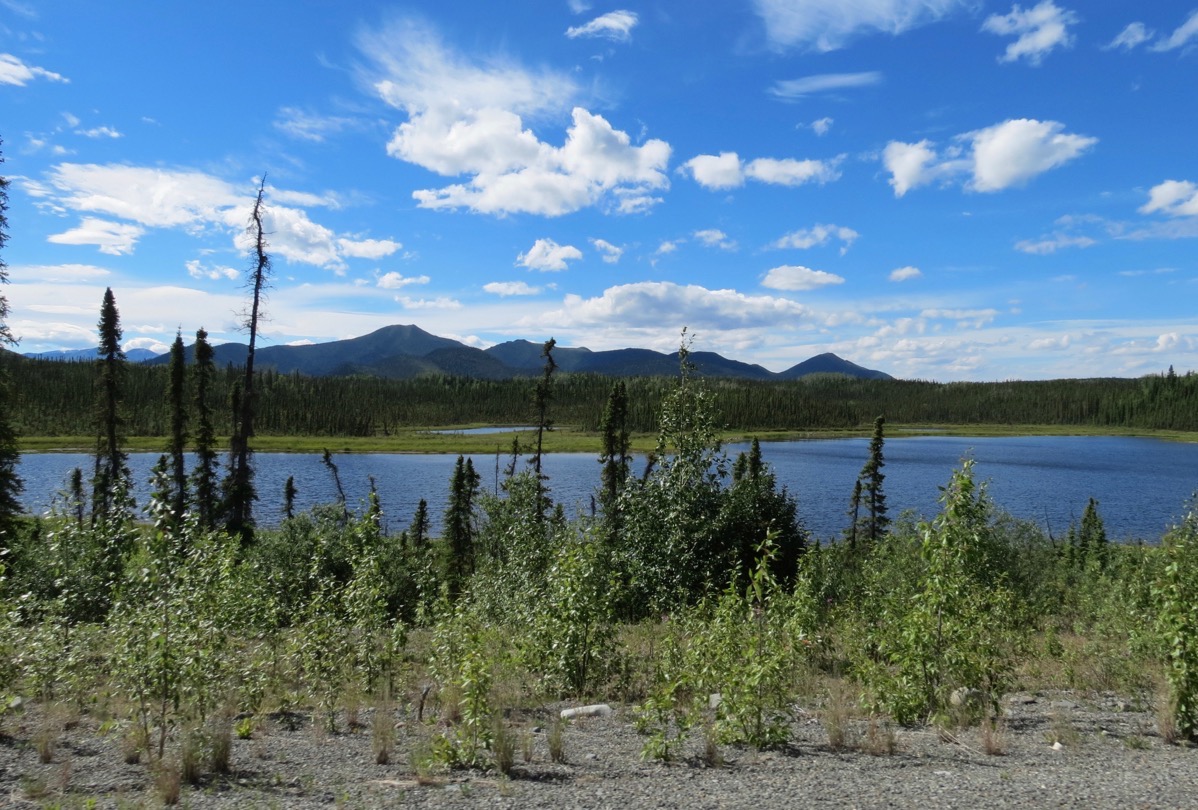
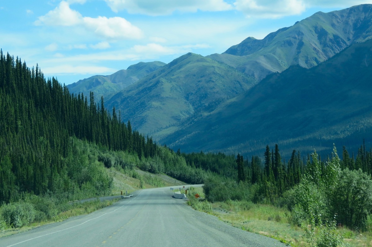
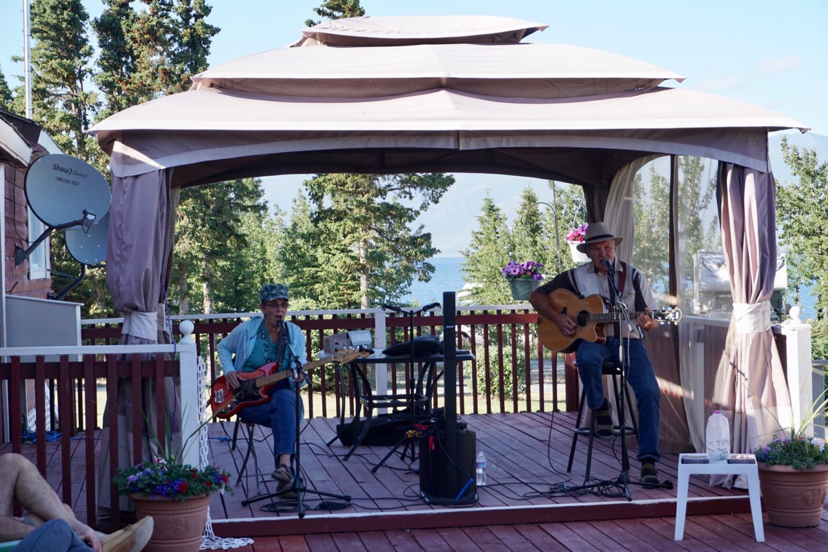
We stayed at the Cottonwood RV Park located right on Destruction Bay which was a beautiful place to stop! These two campers sang country music for about 1.5 hours and the campers gathered on the porch to listen.
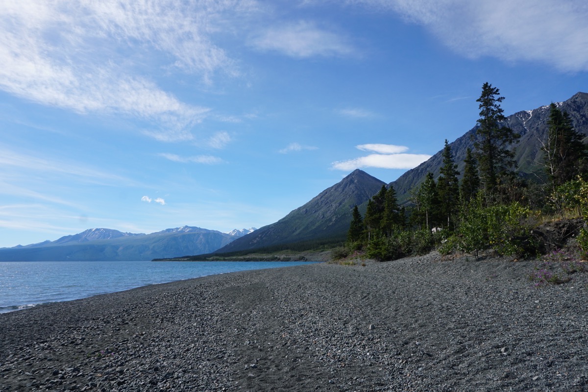
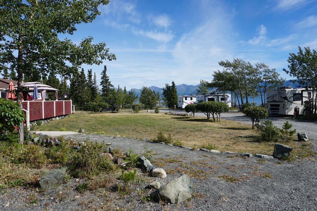
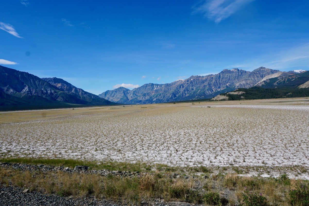
We stayed at the Cottonwood RV Campground for $40 USD
-
Day 58 - Worthington Glacier
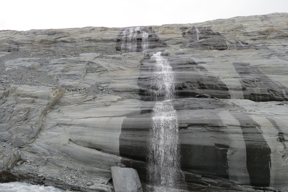
We left Valdez this morning about 10:30 and stopped at the entrance to the Worthington Glacier which is 29 miles from Valdez. According to state park rangers, it is the most visited site in the Copper River Basin, although I personally think the Manatuska Glacier was a much better experience. The sign says the Worthington Glacier is a National Landmark. We hiked up to the glacier which was the first one we’ve seen with a waterfall.
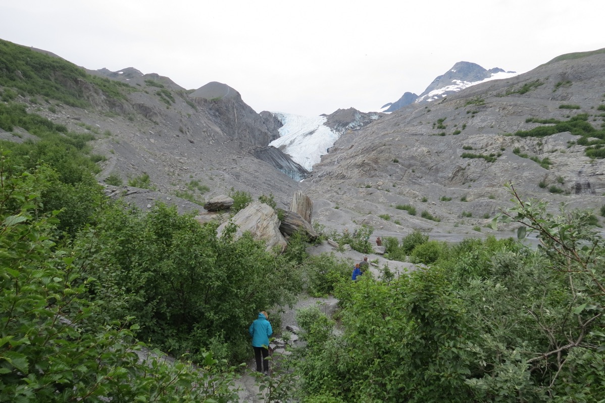
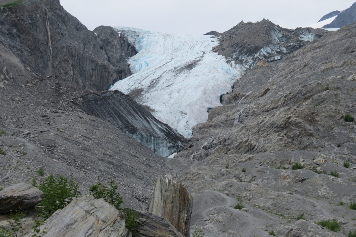
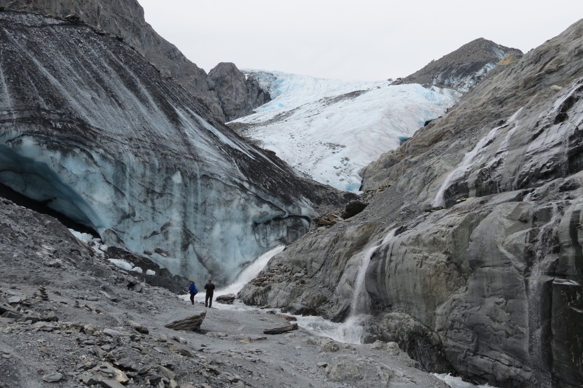
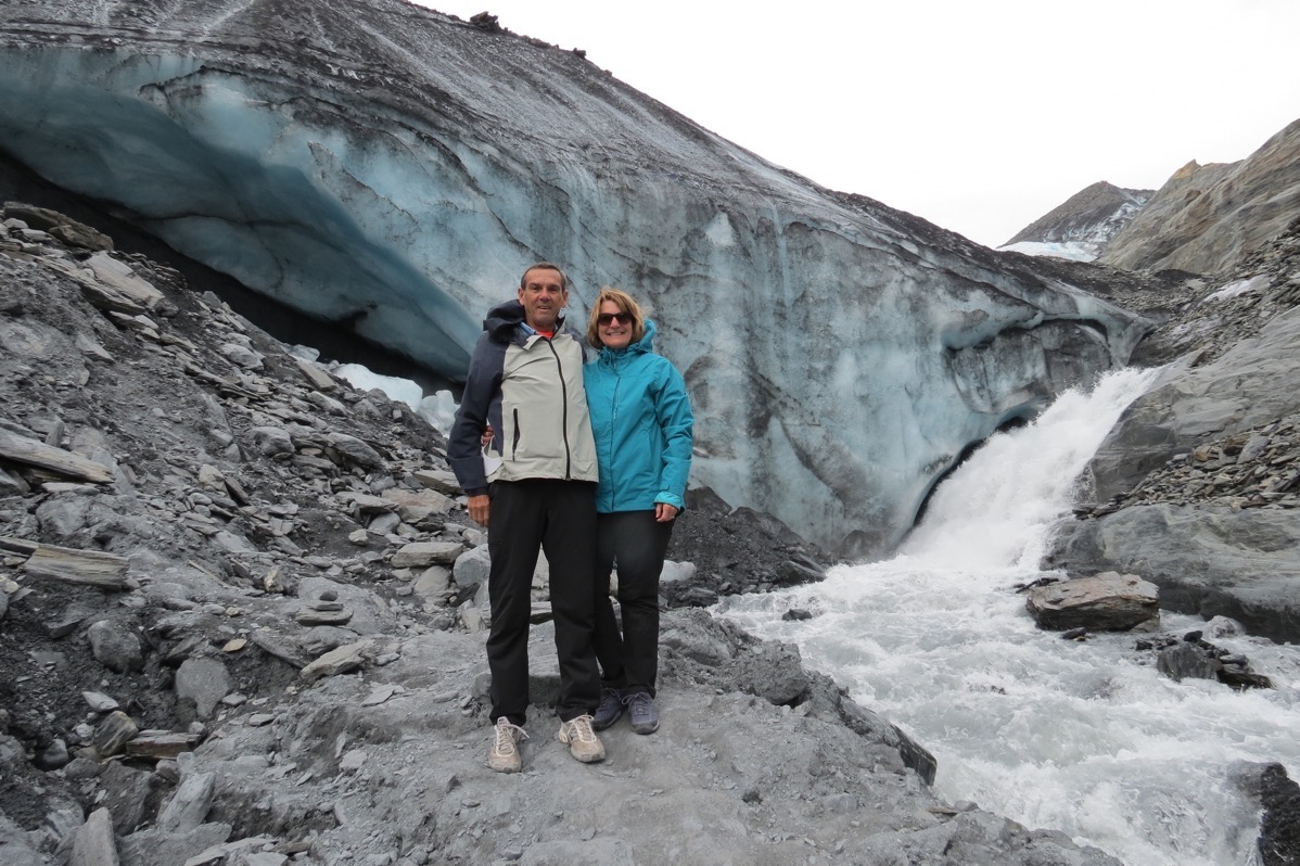
Couldn’t believe there was such a forceful waterfall coming off the glacier. We didn’t back up any further toward the blue ice even though there was room to go under it, because there were some huge chunks on the ground and we didn’t want one to fall on us!
From the Worthington Glacier we drove all the way to Tok over the Tok Cutoff Highway. We had heard that the highway was in really bad shape, but only about two miles of it were filled with holes and bumps. When we arrived in Tok, the temperature was 84 degrees which is the warmest it’s been the entire time we’ve been in Alaska. We washed the camper and car at the gas station in Tok where we filled up with gas.
Trip Statistics:
Today we drove 252 miles in the RV and 10 in the Honda for a total of 7,888 miles so far on this trip.
Purchased gas today at $3.659 a gallon for a total of $2,691.36 spent on gas so far, or .341 per mile.
We are staying at the Golden Bear campground in Tok for $25. Campgrounds have cost $1,783.95, or an average of $30.76 per night. -
Day 57 - Columbia Glacier, Seals, Sea otters, Whales and Puffins
We booked a tour on the Lu-lu Belle, a beautiful tour vessel with teak and mahogany woods and beautiful oriental rugs that takes small groups on day-long tours from Valdez into Prince William Sound. Captain Fred Rodolf did a wonderful job of getting us close to wildlife, icebergs and the Columbia Glacier, the second-largest tidewater glacier in North America and largest in Prince William Sound. Every day, 13 million tons of ice break off the face of it, leaving chunks in the water that are often twice as big as the boat. He’s been doing this tour for 40 years and narrates along the way with very interesting information while he steers the boar. The tour was nine hours long, with wildlife viewing along the way. Captain Fred took us within one-fourth mile of the Columbia Glacier and we stayed there for over an hour while he showed us an up-close 270-degree view of glacier ice that’s 200 to 400 feet tall.
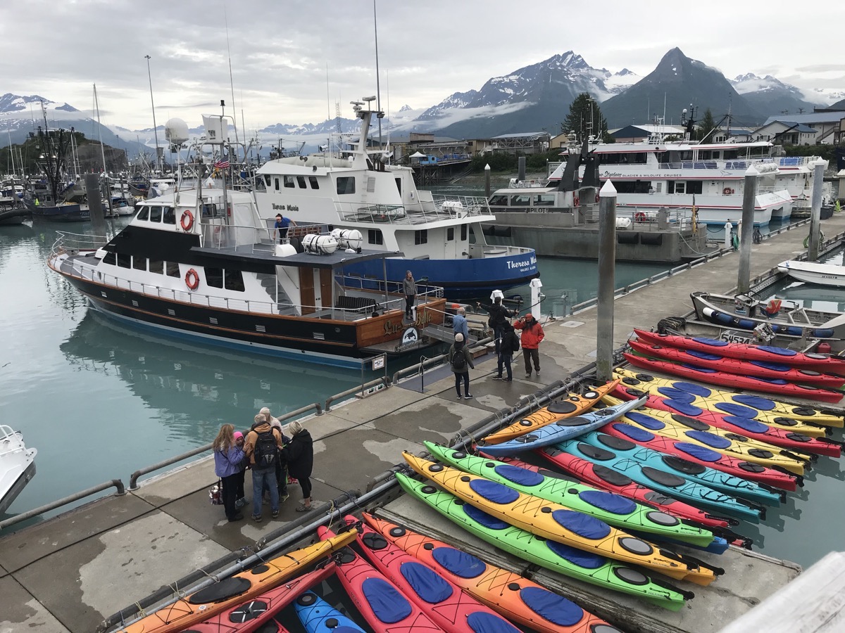
The Lu-Lu Belle is the ship near where people are standing
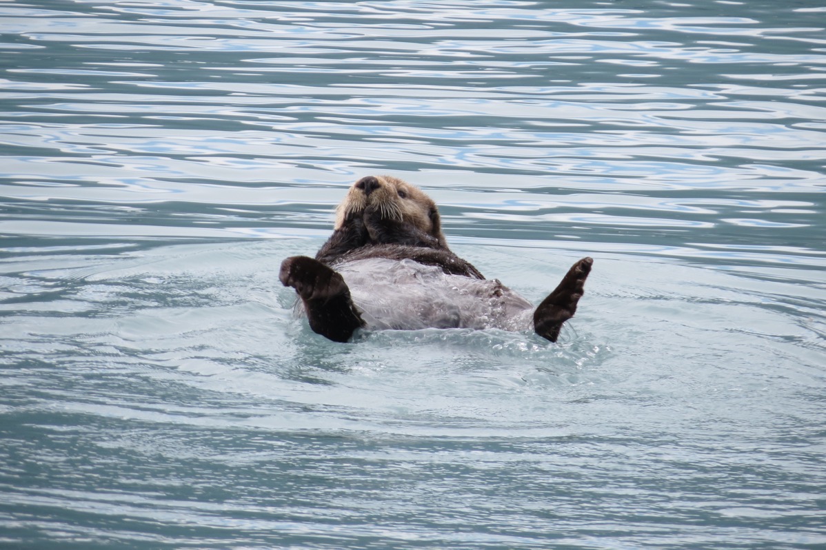
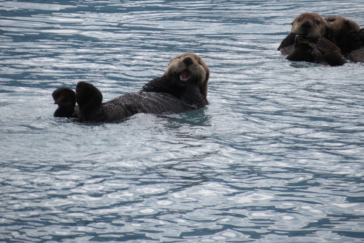
We saw rafts of sea otters swimming along side the boat
We passed fishing boats along the way.
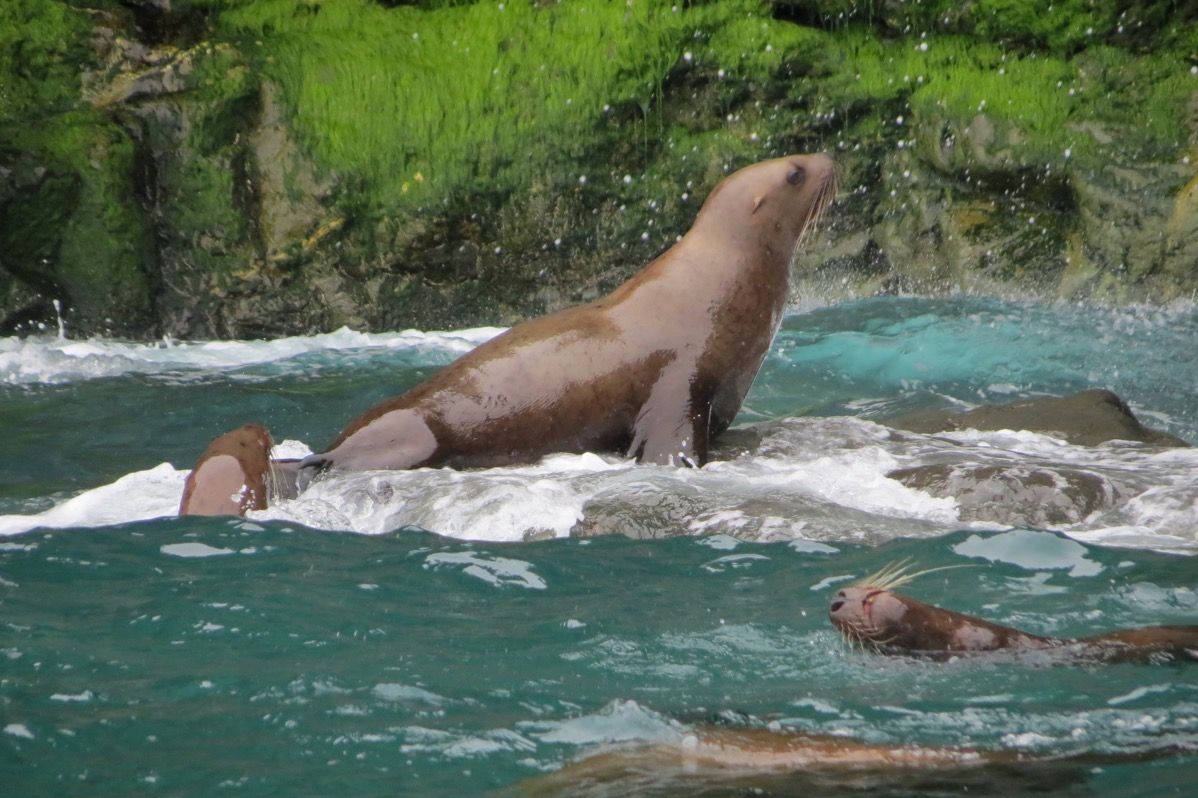
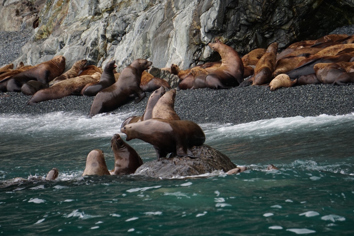
Sea Lions
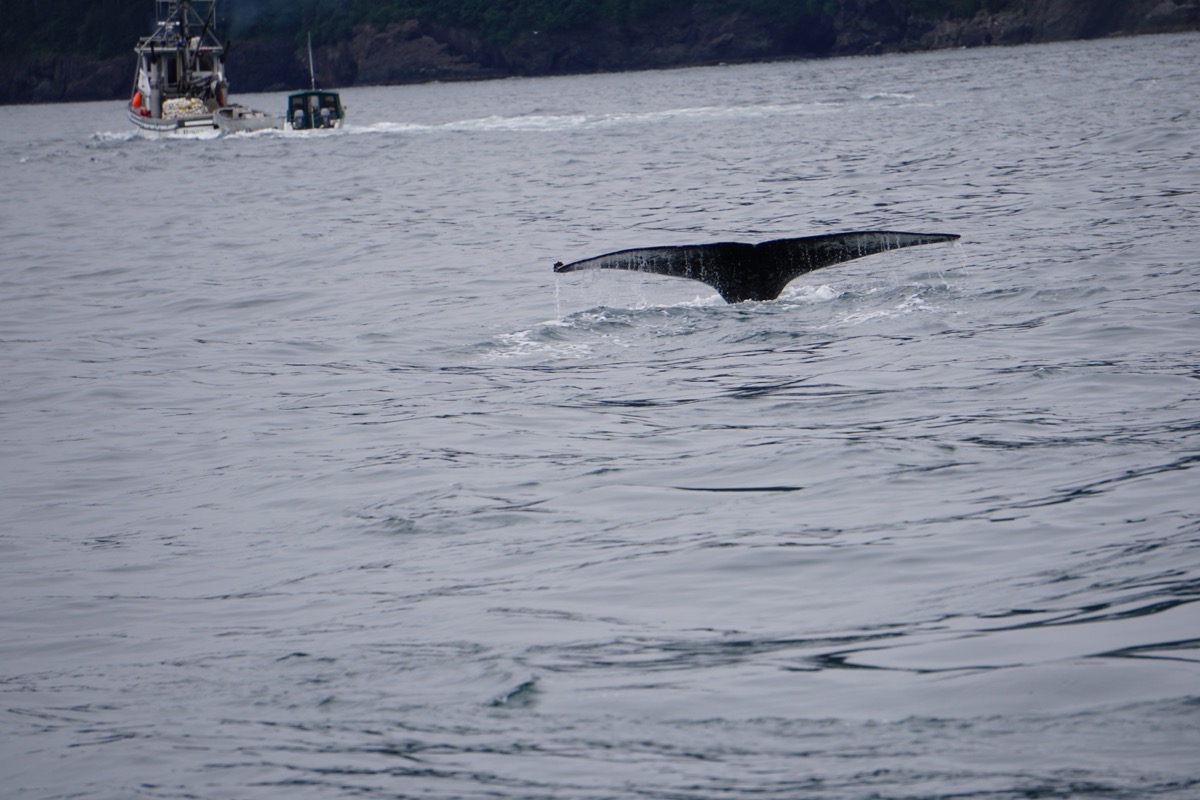
Got a glimpse of a whale tail
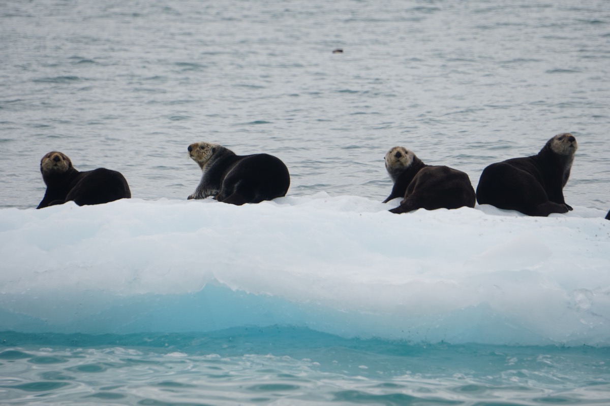
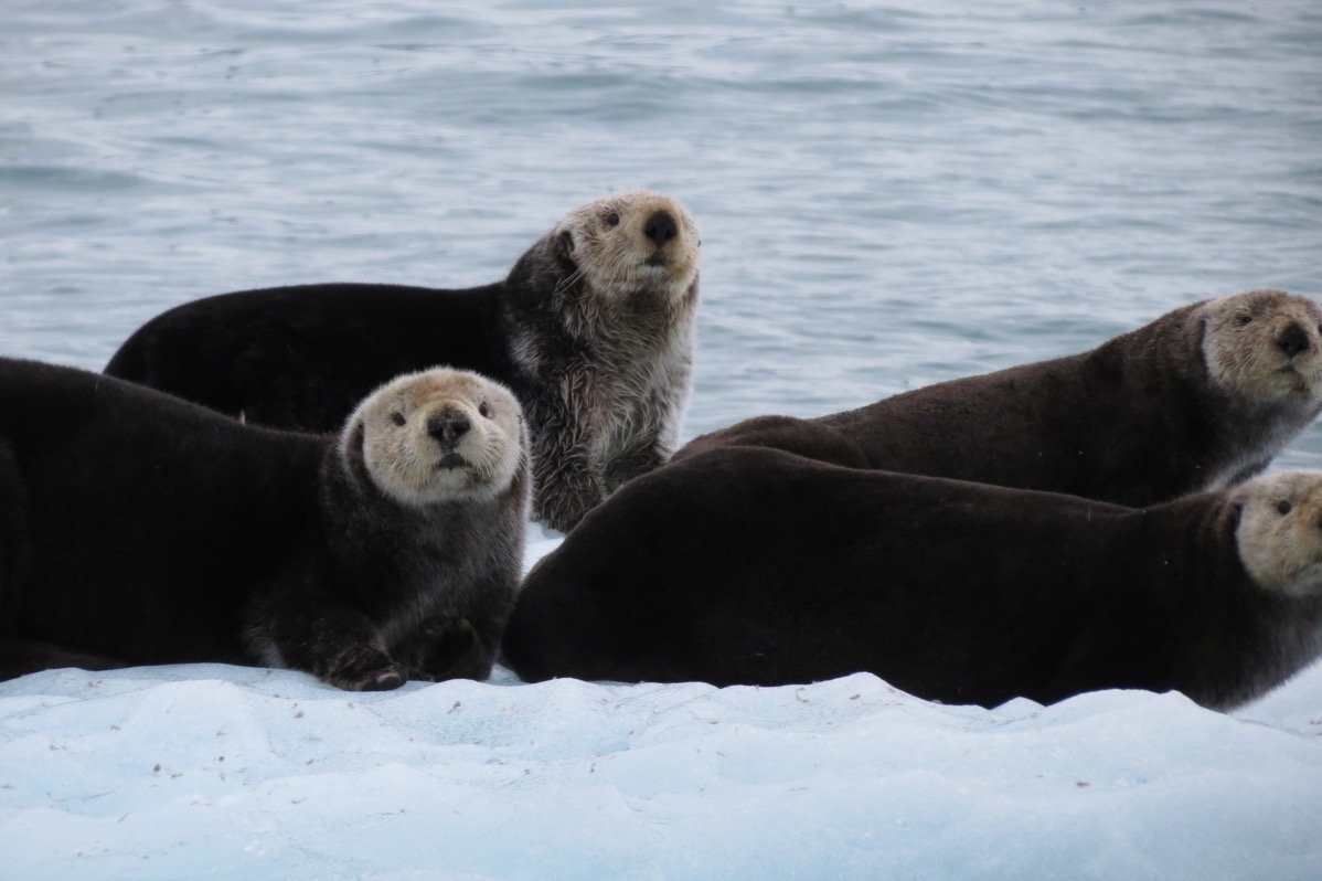
Seals resting on an iceberg as we passed
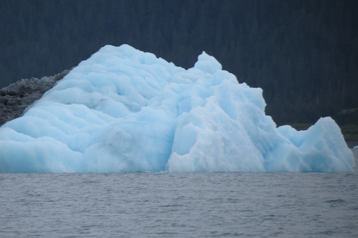
Usually only one-tenth of an iceberg is visible above the water.
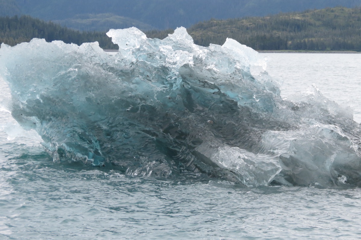
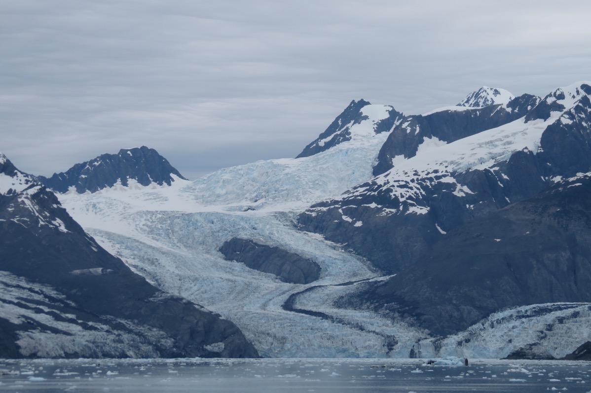
This is the Columbia Glacier, the second largest in North America and the largest in Prince William Sound. We were four miles from the glacier when I took this picture.
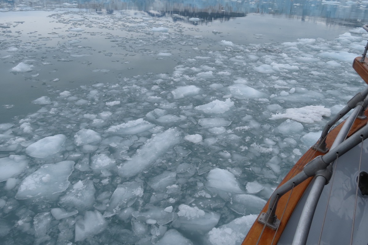
As we got closer to the glacier the Captain was steering around icebergs and through chunks of ice.
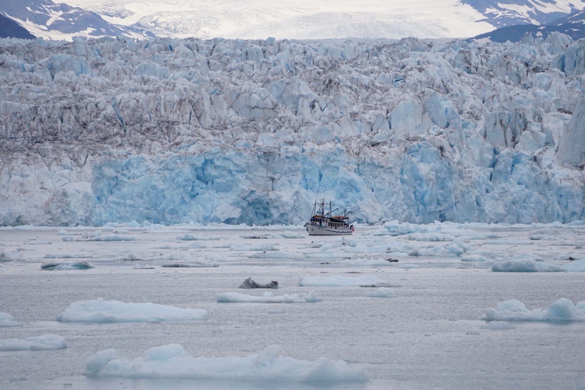
Look how huge this glacier is compared to this vessel in front of it!
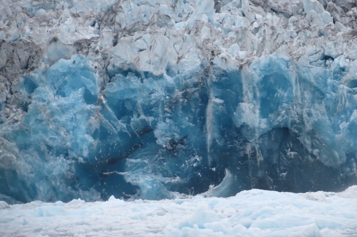
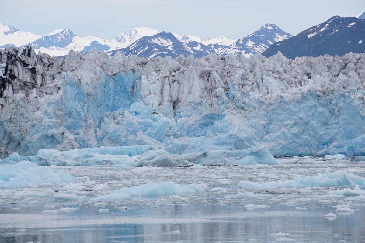
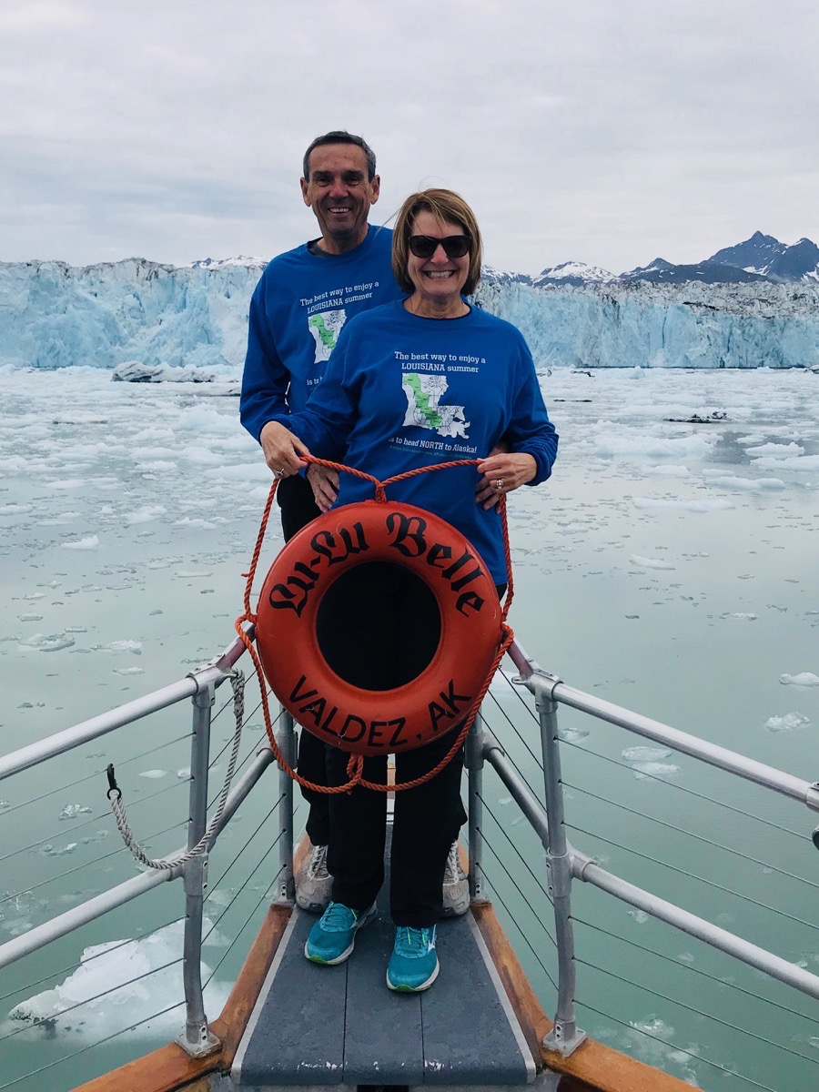
It was a fantastic day!!
-
Day 56 - Valdez
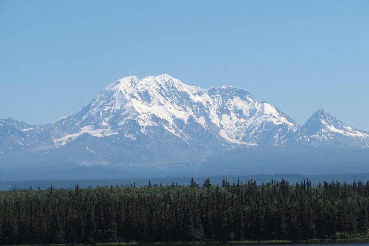
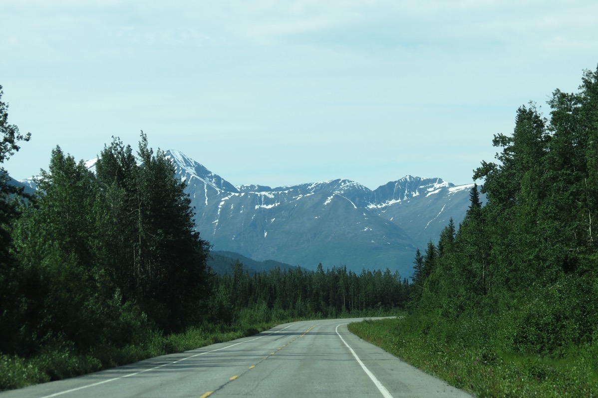
The drive from Glennallen to Valdez was absolutely gorgeous. The first picture is Mount Drum which was straight ahead of us as we drove into Glenallen. It is so huge (12,011′) that we also saw it for miles and miles on our left hand side as we drove down the Richardson Highway towards Valdez.
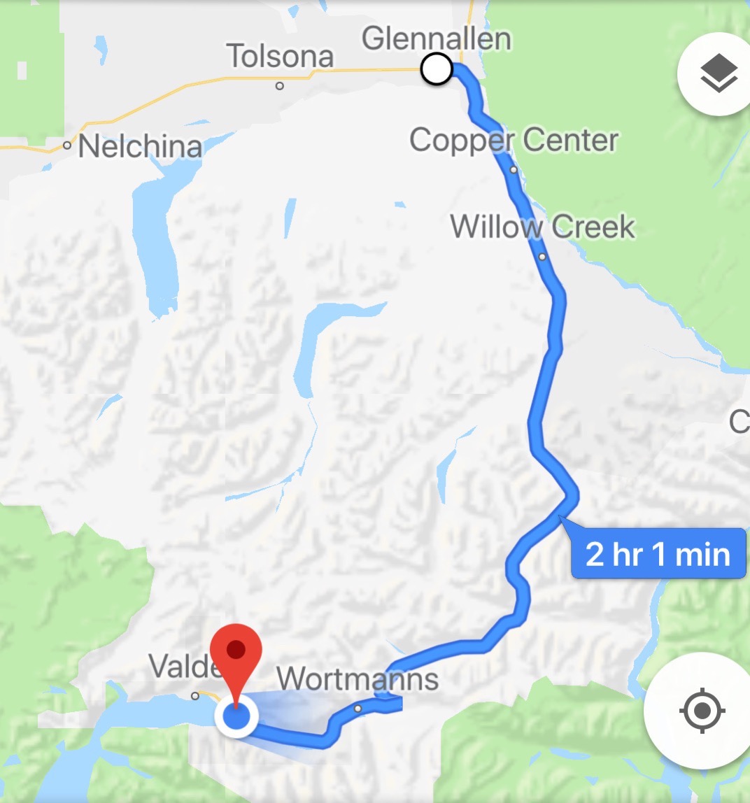
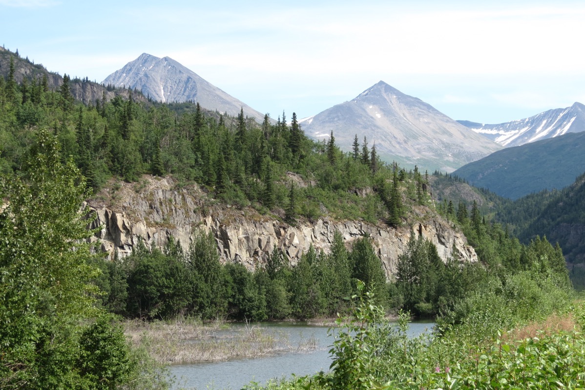
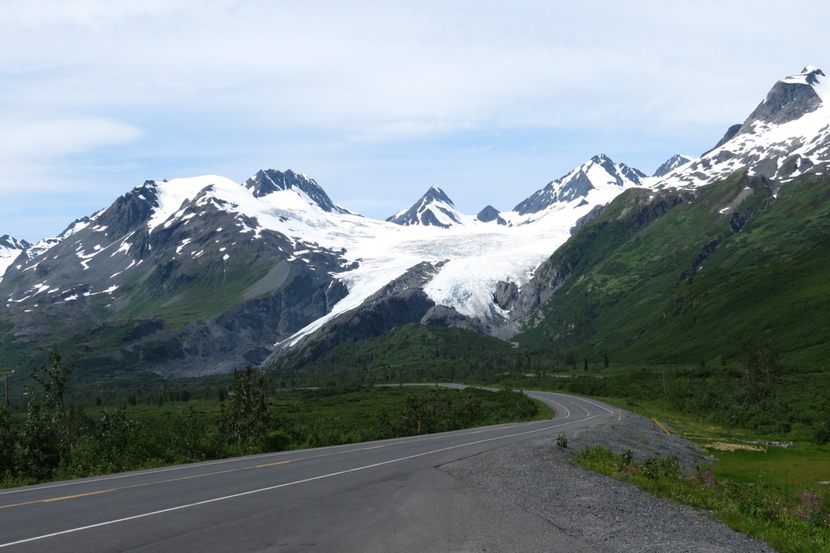
114 miles on the Richardson Highway
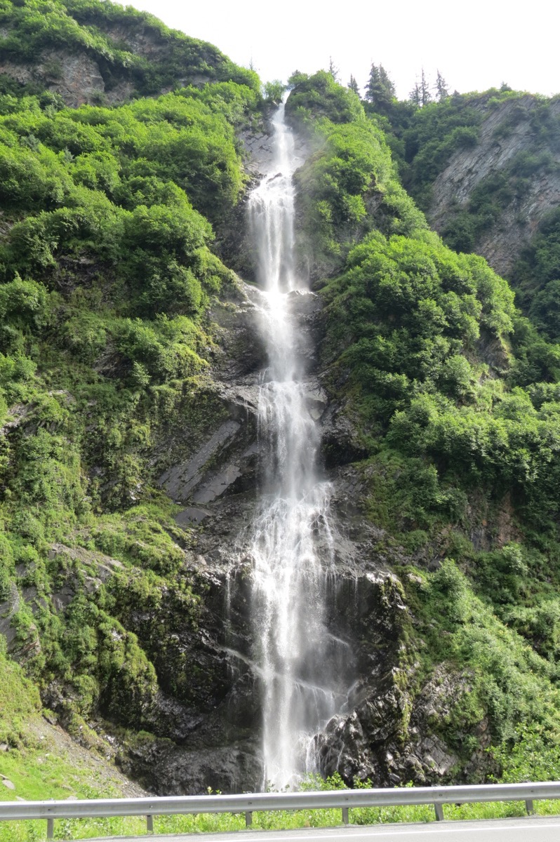
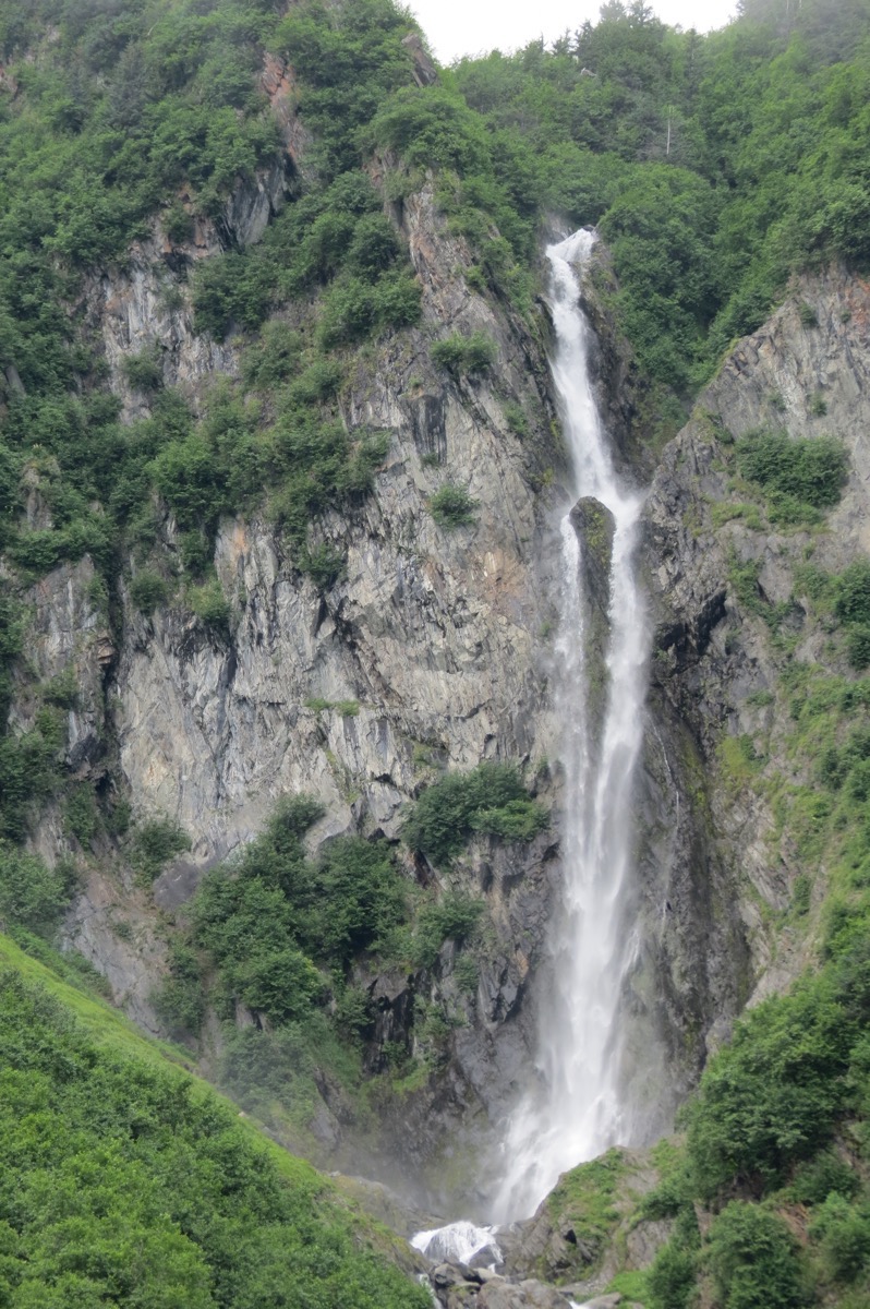
Bridal Falls
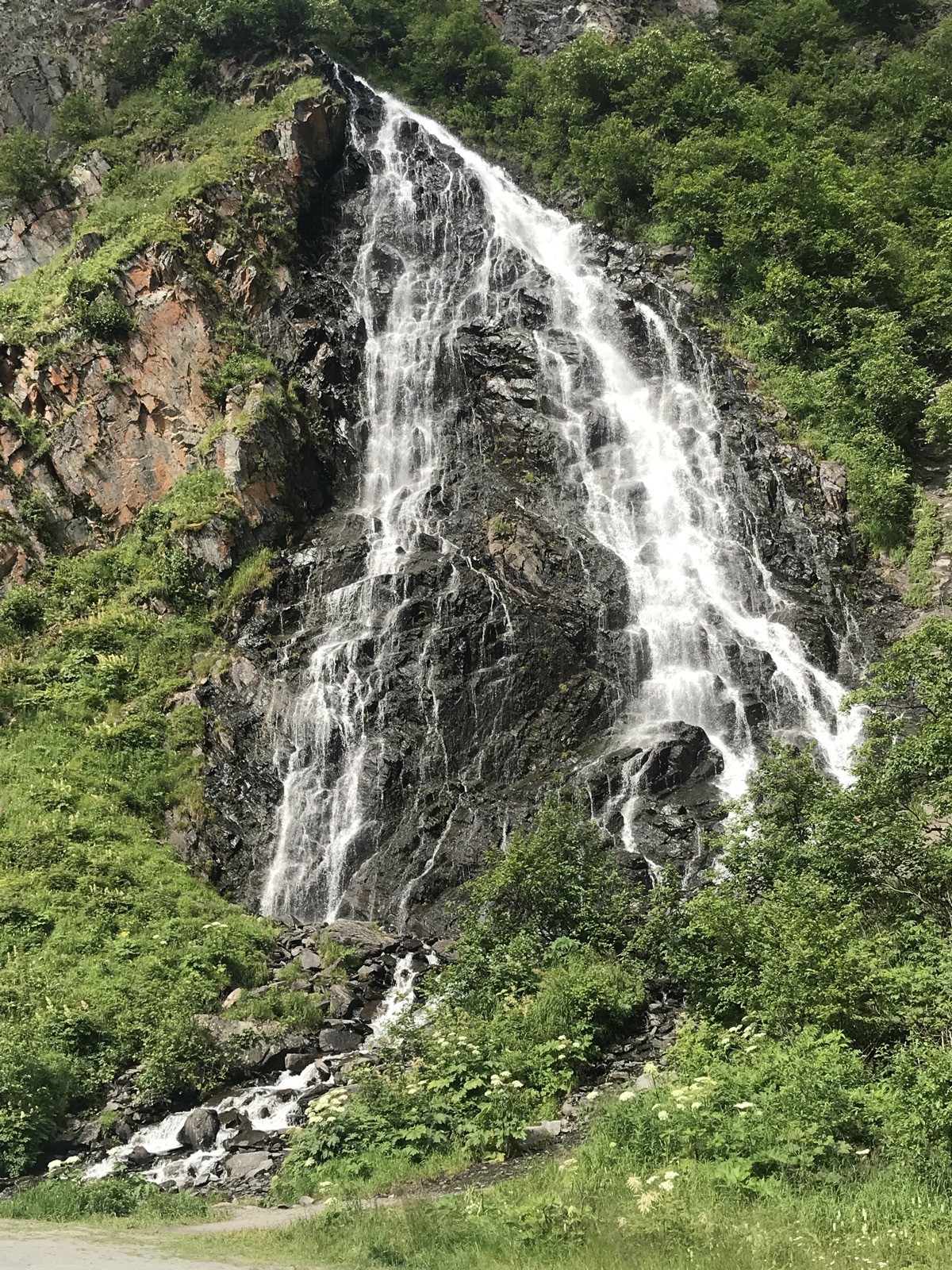
Horseshoe Falls
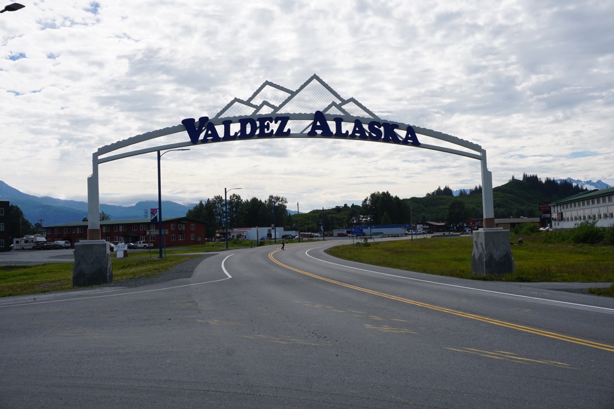
Valdez
The city of Valdez has a population of 3,976 as of the 2010 census. The city was badly shaken by the Good Friday Earthquake in 1964. Soil liquefaction of the glacial silt that formed the city’s foundation led to a huge underwater landslide, which caused the city’s shoreline to break off and sink into the sea. This disturbance caused a 30’ tsunami that traveled down Valdez Bay and killed 32 men, women, and children who were standing on the city’s main dock watching the unloading of the SS Chena, a supply ship that came to Valdez regularly.
There were no deaths in the actual city of Valdez and the residents continued to live in the homes for three years while the Army Corps of Engineers sought and prepared a better location for the town. Fifty-four houses and buildings were dismantles and transported by truck to re-establish the city in its present location. The original town site was dismantled and abandoned. There was a sign pointing to where the town used to be and Tom and I drove down to see what was left, but there are no longer any signs that anything was ever there.
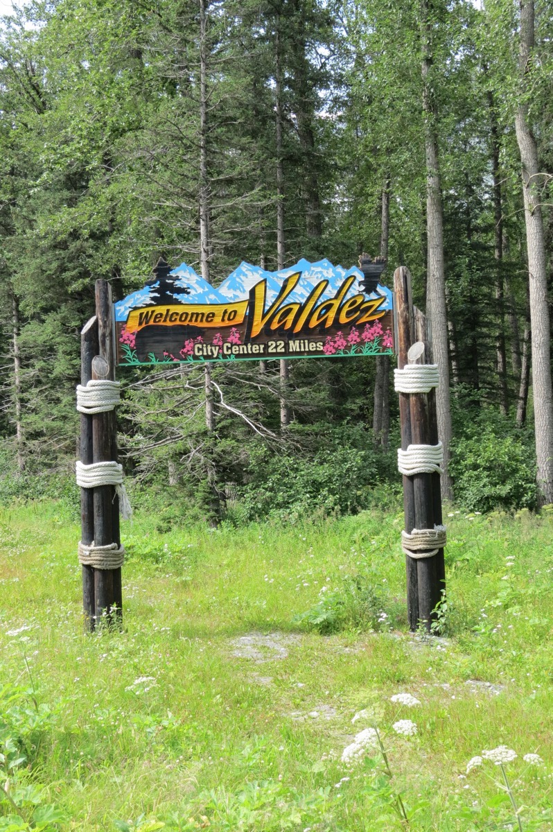
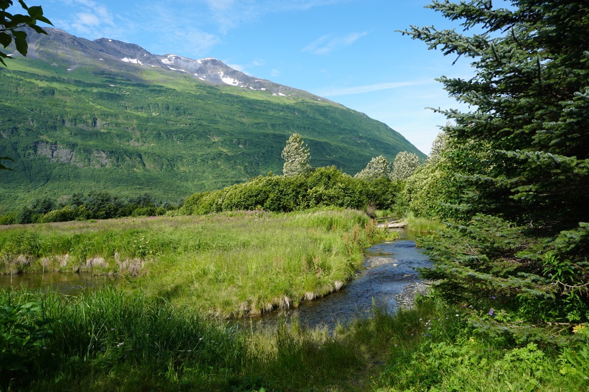
Homestead Trail
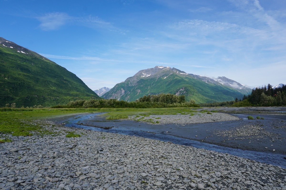
Homestead Trail
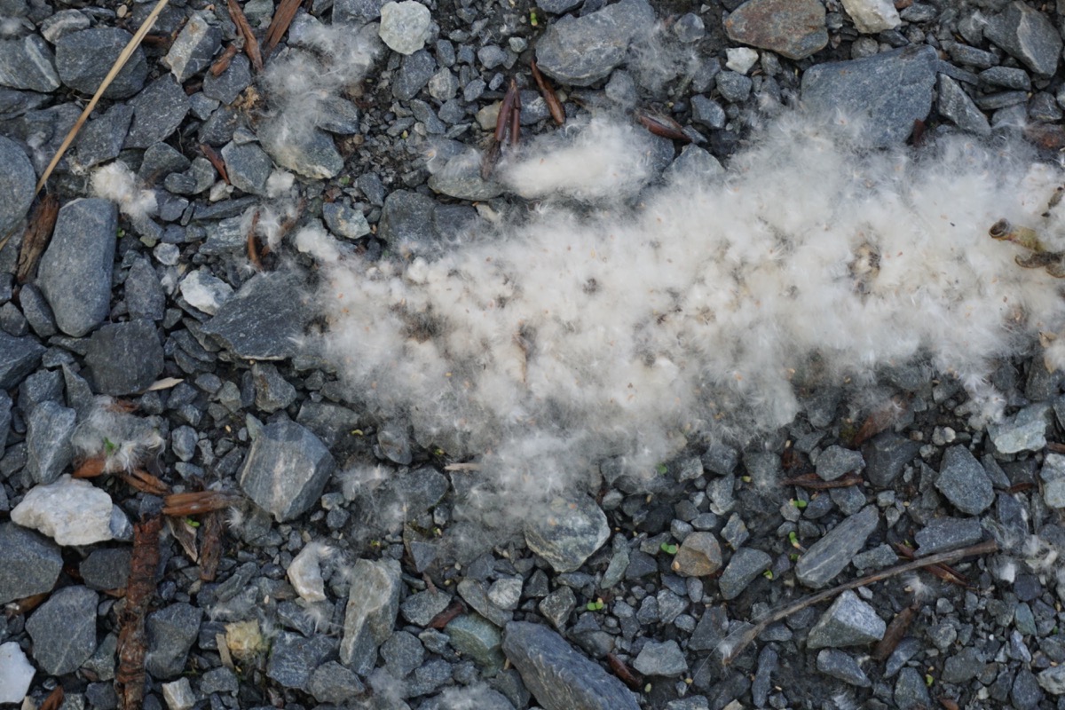
This is from the cottonwood tree and fills just like very soft cotton, but makes quite a mess on the ground.
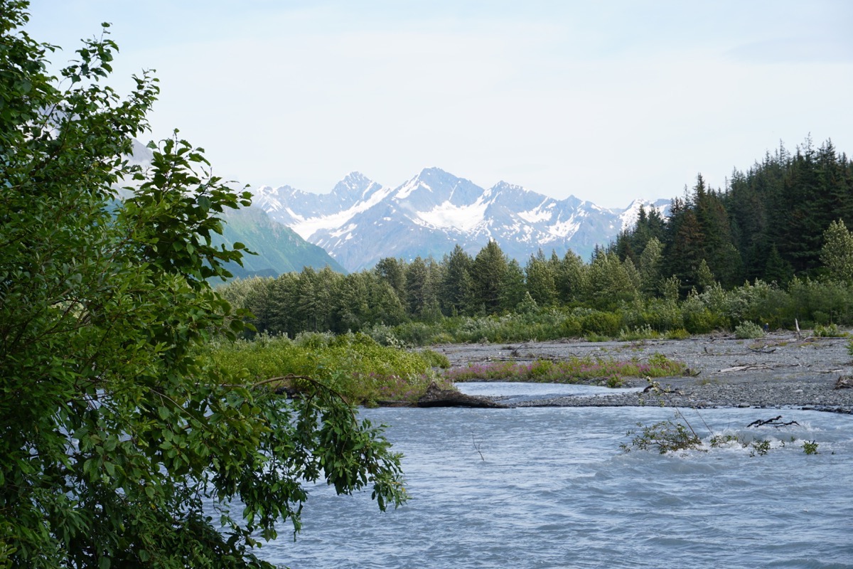
Homestead Trail
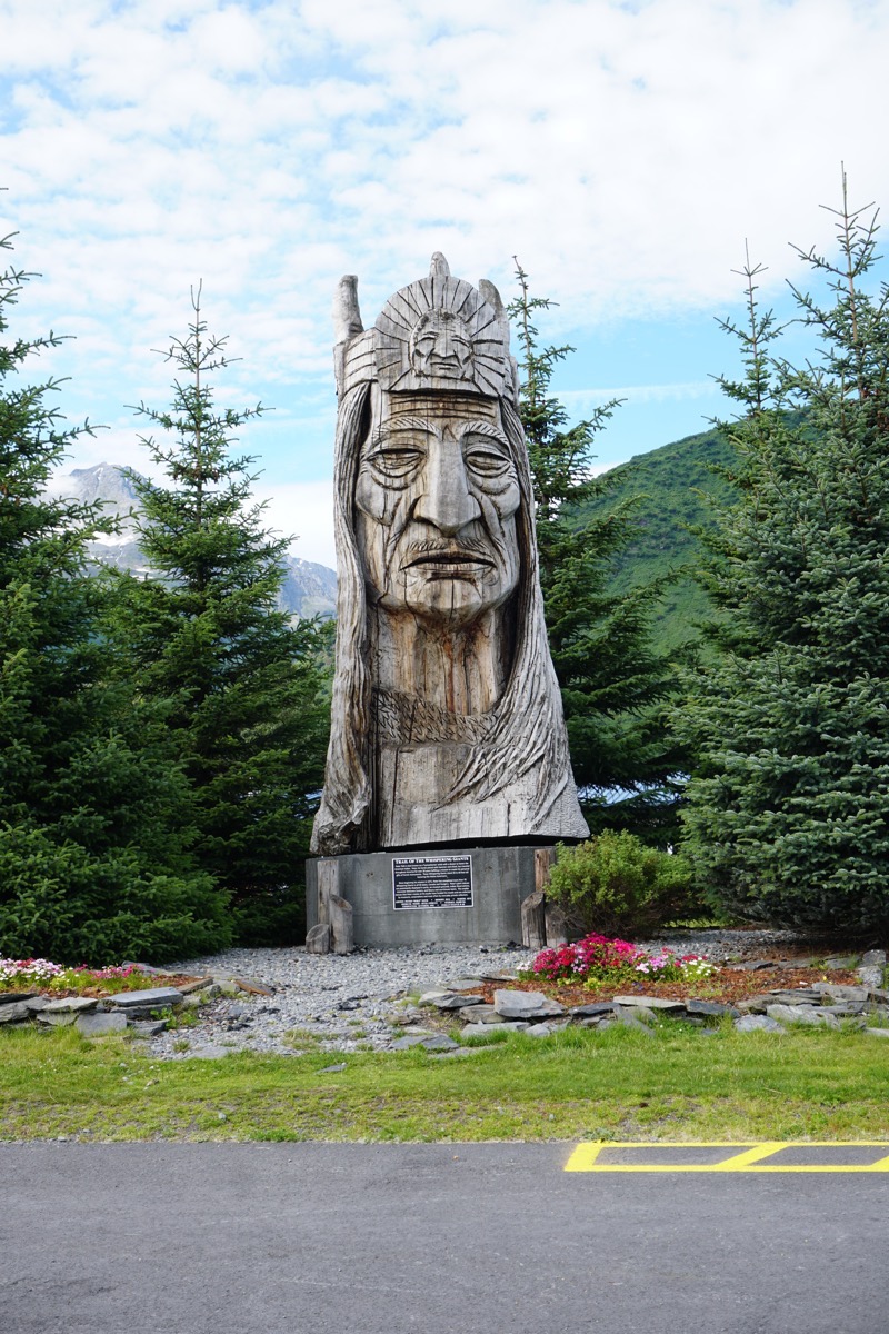
Peter Toth Indian Head Carving
Rock Point Trail
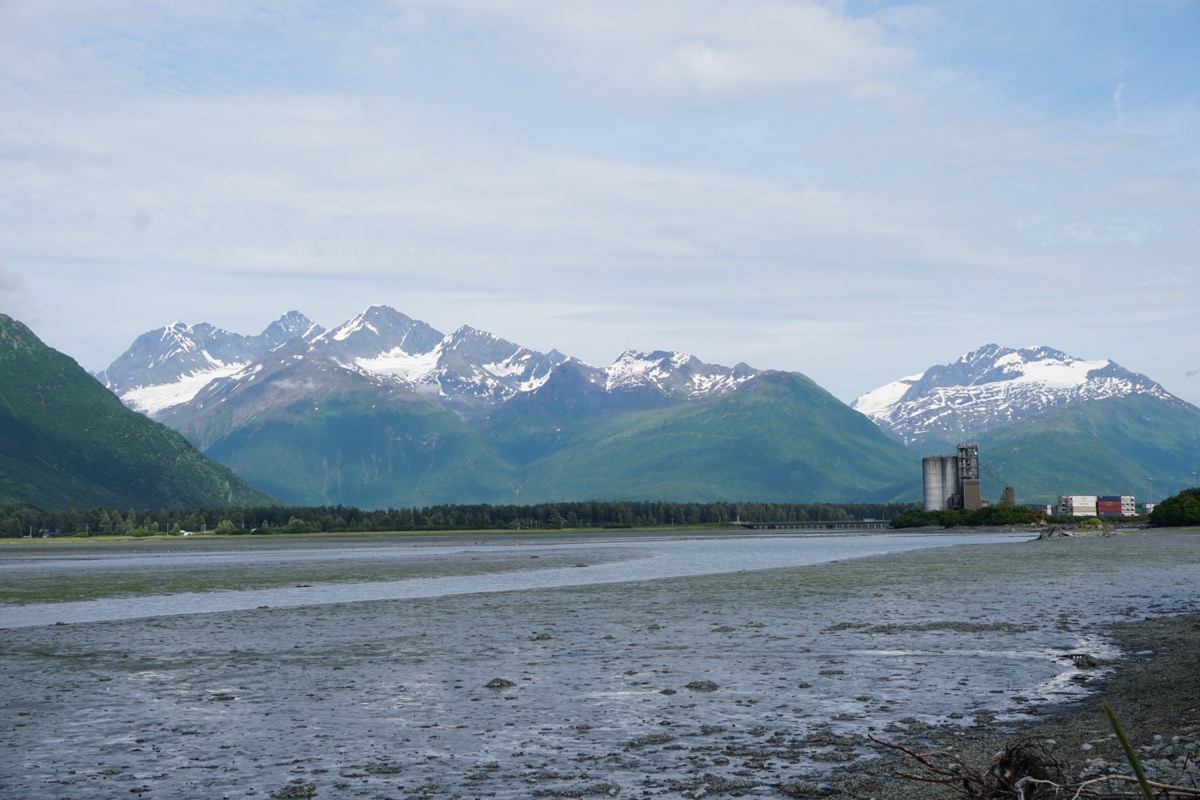 View from Rock Point Trail
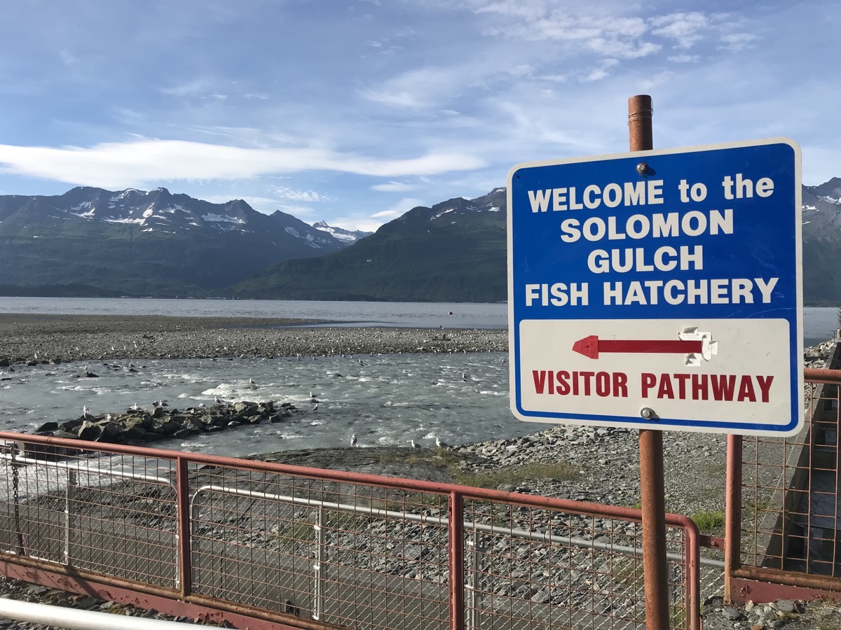
TSolomon Gulch Fish Hatchery
Here we not only saw thousands of salmon, but we also so thousands of birds, many seals and some eagles in this area.
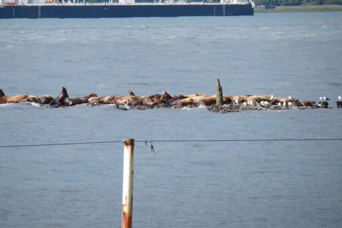 Hundreds of seals basking in the sun on the rocks
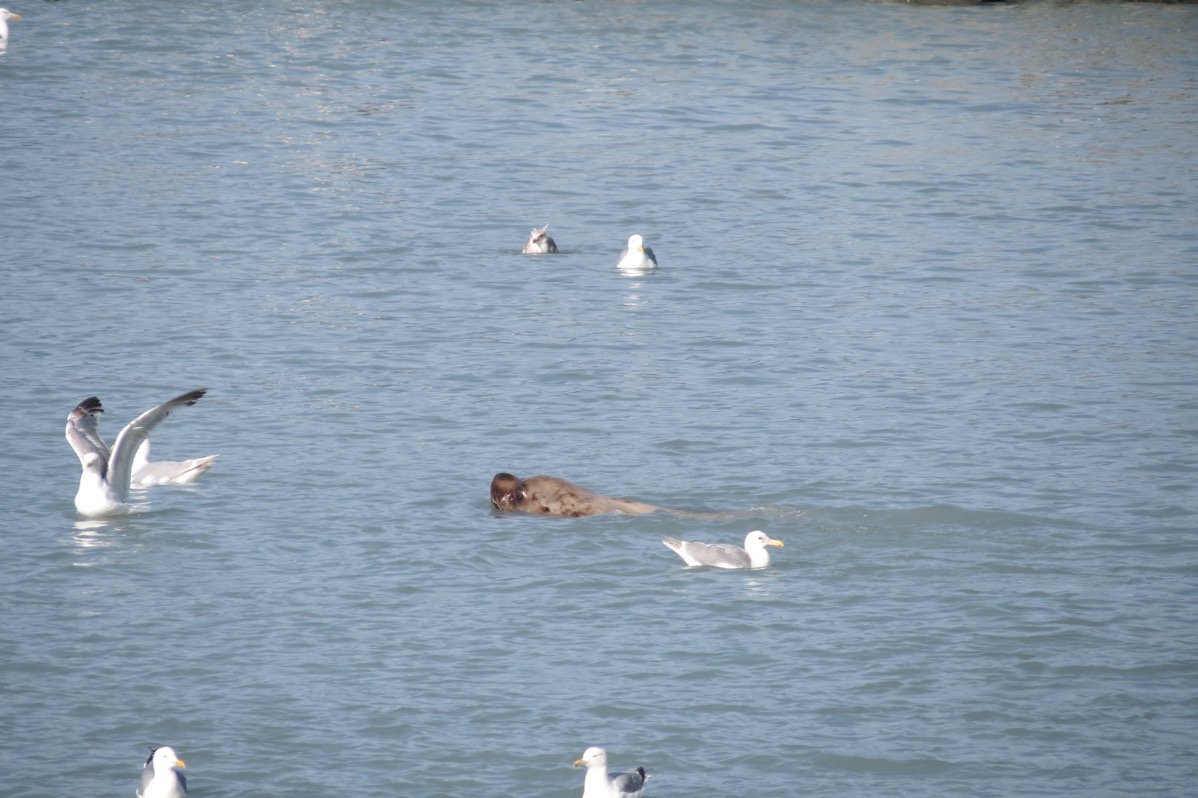
This seal is searching for his lunch
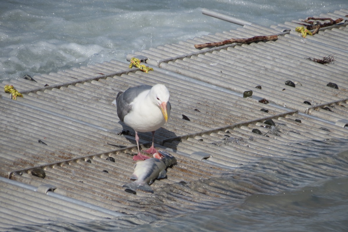
This bird was snacking on this salmon.
Trip Statistics
- We are staying at the Valdez KOA for $39.50 a night. That’s a total of $1,719 so far on the trip, or an average of $30.70 a day.
- We drove 111 miles in the RV and 35 in the car today for a trip total of 7,826 miles so far.
-
Days 54 and 55 Anchorage to Glennallen
Saturday morning in Anchorage we shopped for groceries, Tom got a haircut while I got a pedicure and we had the oil changed in the motorhome. We left in the afternoon and had a short 37 mile drive to our campground, the Big Bear RV Park, in Palmer,AK. I drove a few miles to the Walmart in Wasilla (home of Sarah Palin) to get a few items we forgot to buy in Anchorage. That Walmart is the largest one I’ve ever seen!! ( I googled it though and it’s not the largest. The town of Wasilla only has a population of 7,831, but it’s the sixth largest city in Alaska).
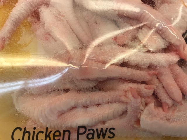 Have you ever seen these at your neighborhood grocery store???
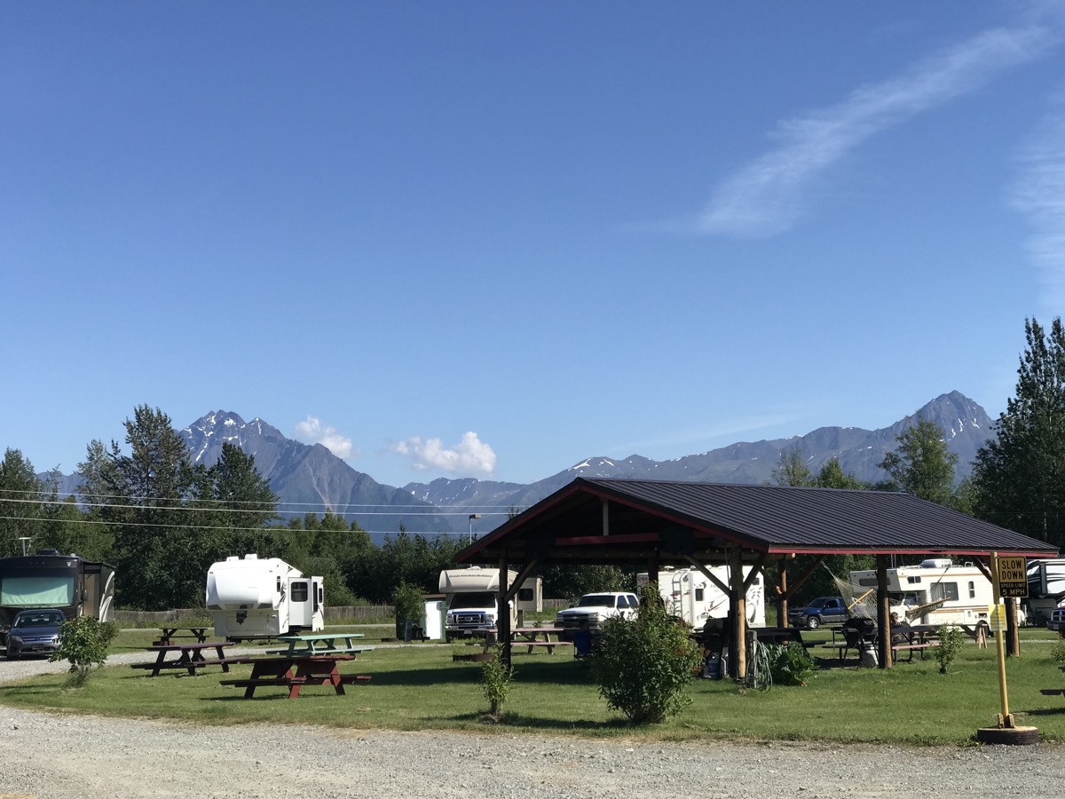
Big Bear RV Park and Cabins, Palmer, AK
The Glenn Highway from Palmer to Glennallen
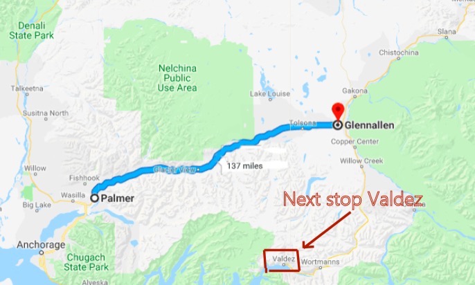
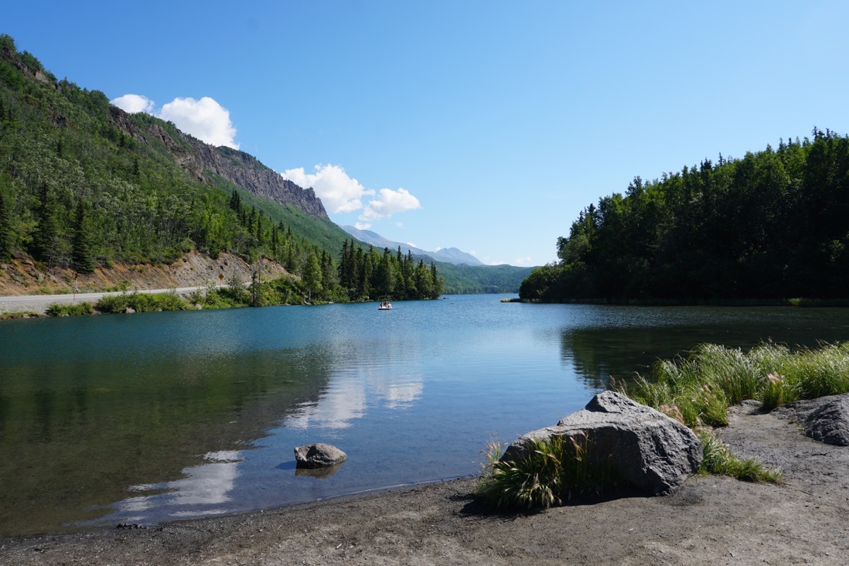
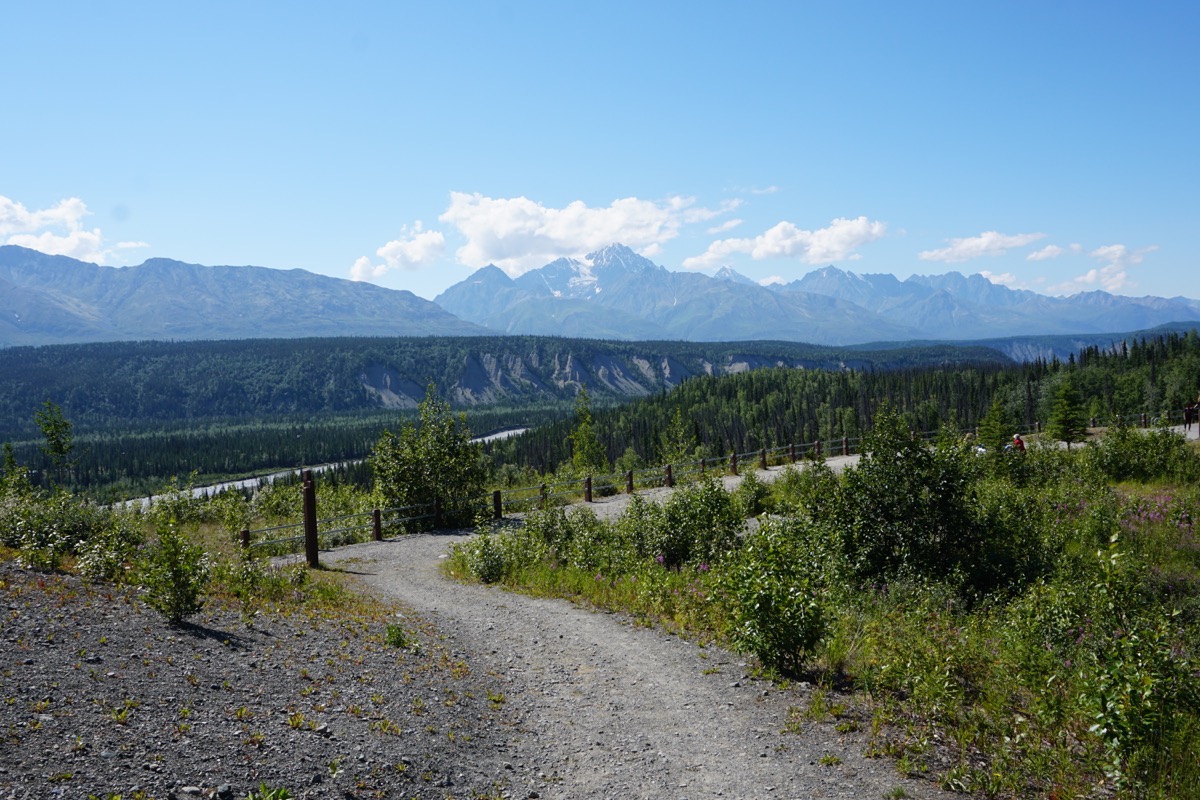
Views along the Glenn Highway
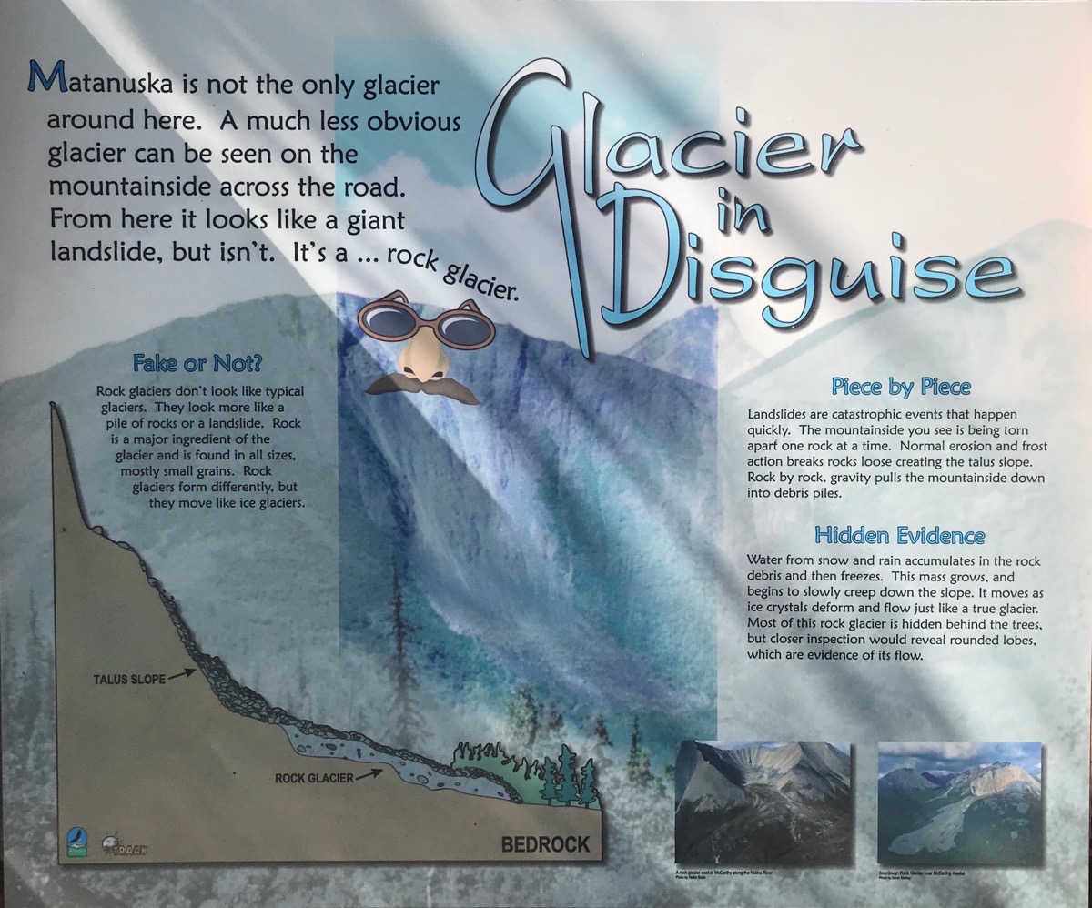
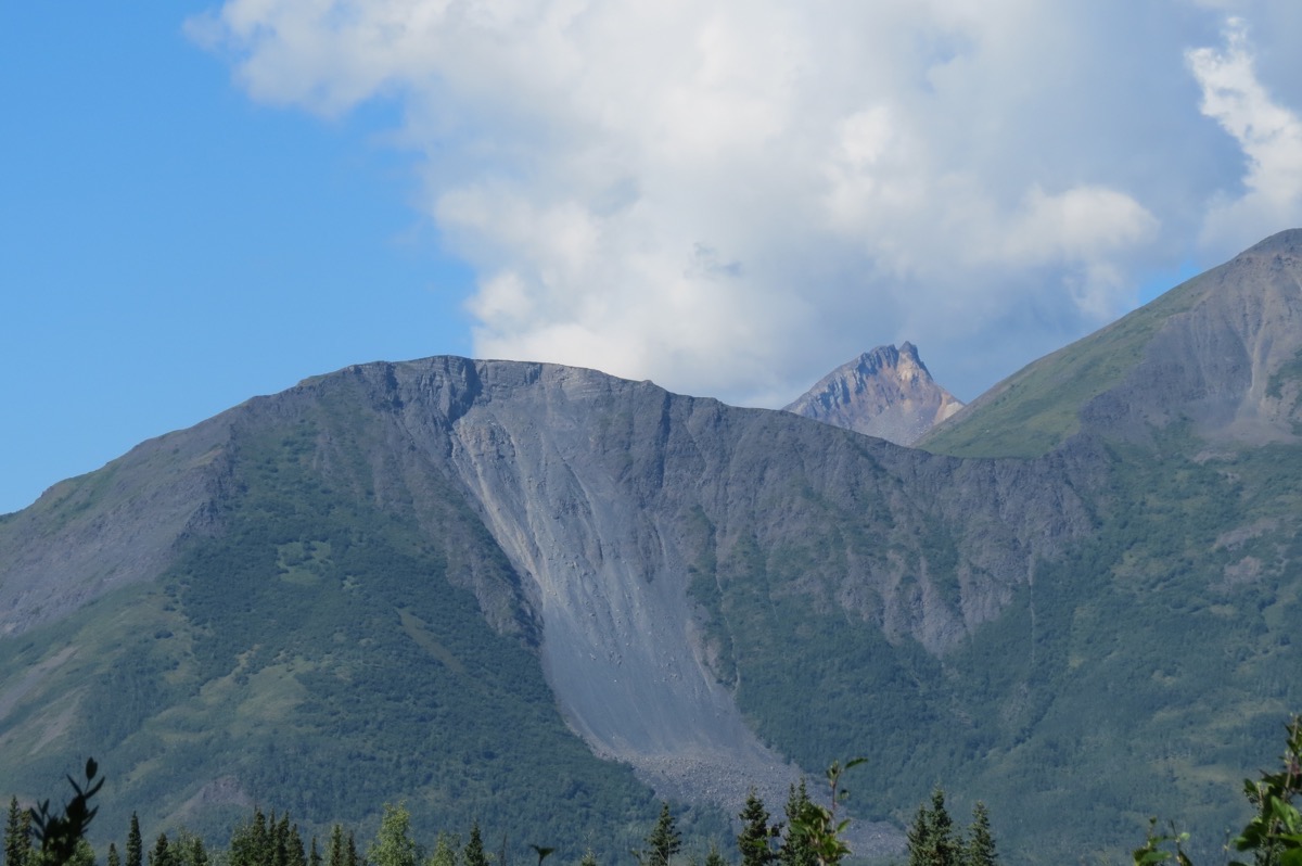
Matanuska Glacier
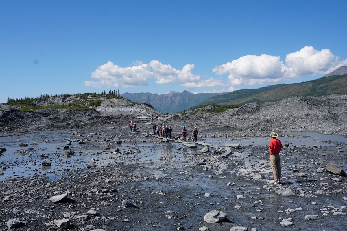
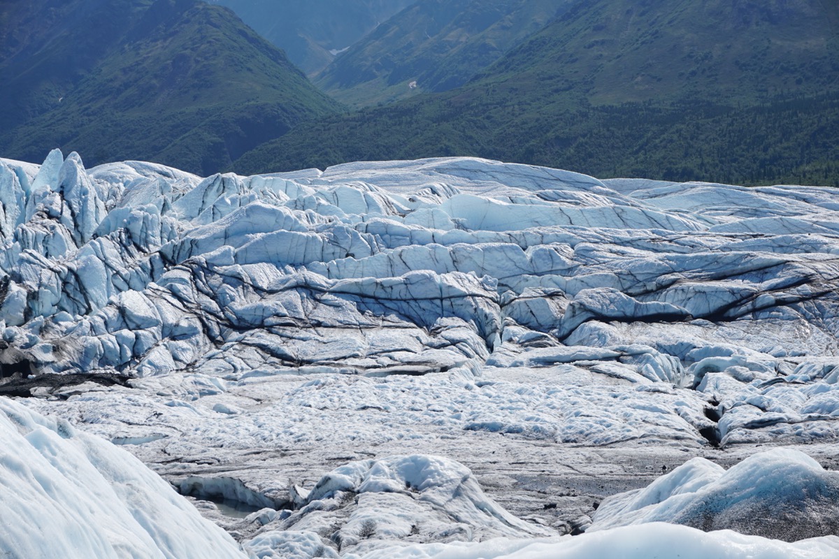
We stopped at several overlooks and took pictures of the Matanuska Glacier with the zoom lens on the camera, but when we got closer, we realized that we could actually pay to hike to it and on it. Believe it or not, the access to it is on private property so it cost $30 per person ($25 for seniors) to get onto the land. The Matanuska Glacier is the largest glacier in Alaska that can be reached by vehicle. It is approximately 26 miles long and 4 miles wide at its terminus.
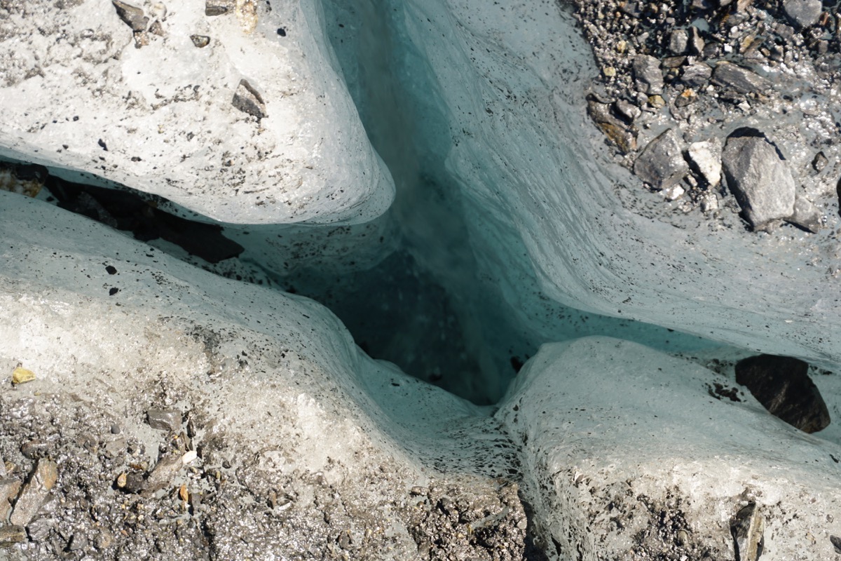
It is classified as a valley glacier; a body of solid ice that flows like a river under its own weight through an existing valley. About 10,000 years ago it began its retreat to its present day location, and it has not seen any significant change in mass for almost two decades. Because the Matanuska Glacier is a weather hole, cold air from the glacier forces warm air upward towards the mountain peaks. This results in sunny skies and more favorable weather than its surrounding areas, making this a perfect destination for the Alaskan traveler.
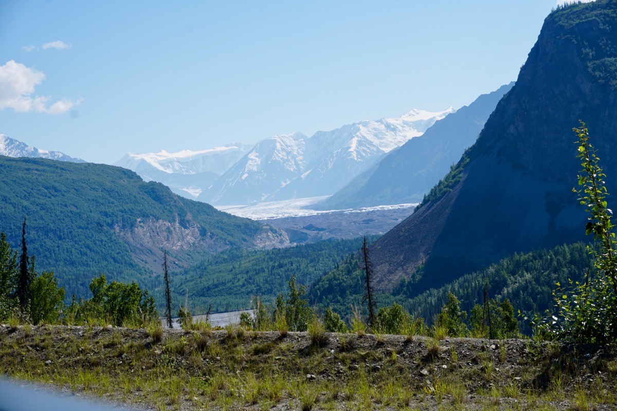
The Matanuska Glacier taken with a zoom lens from an overlook on the Glenn Highway
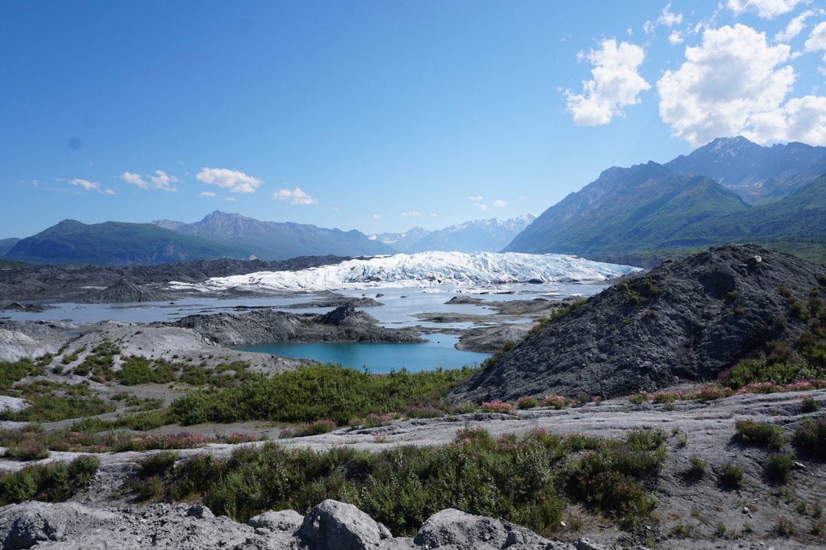
The view from the parking lot located on private property where we began our hike to the glacier.
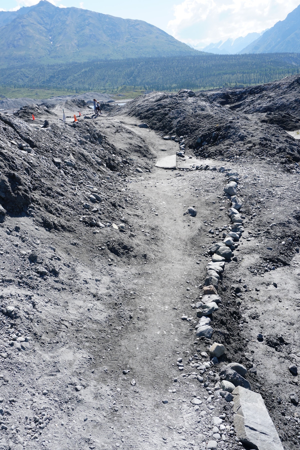
We walked through glacier sand at the beginning of the trail.
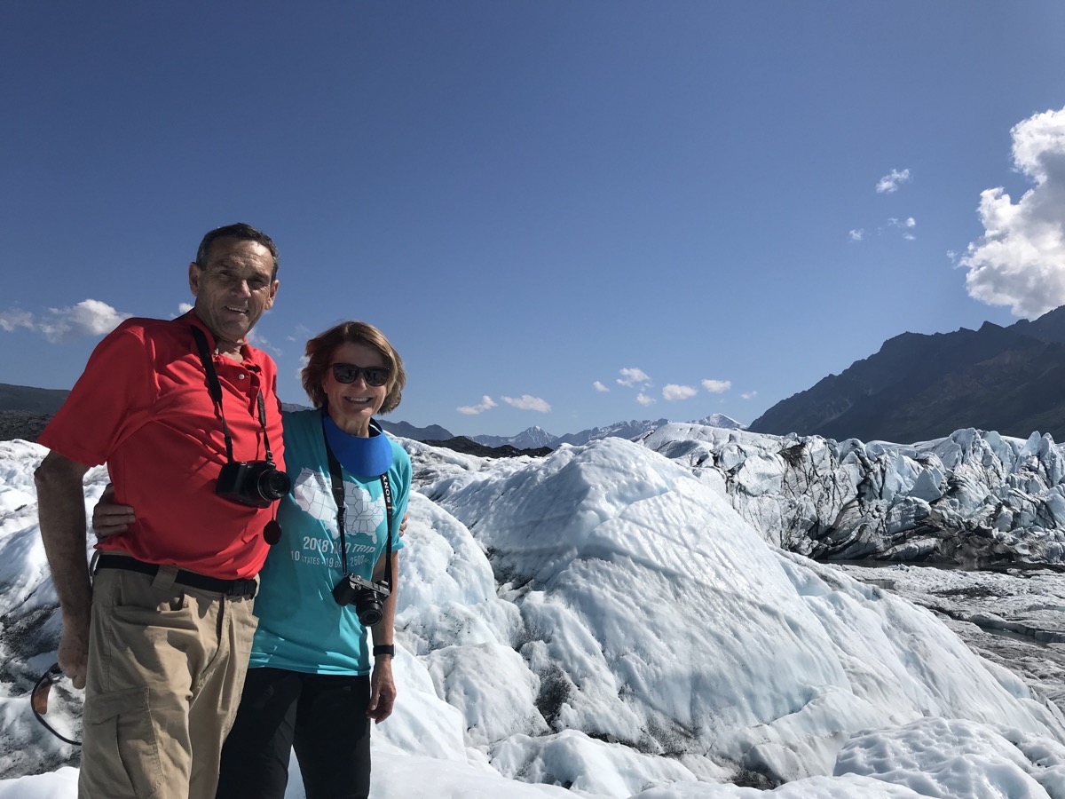 Here we are on the glacier!
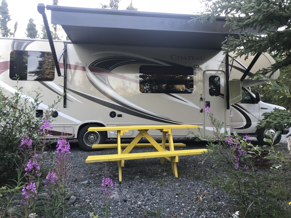
Our campsite at Northern Nights Campground
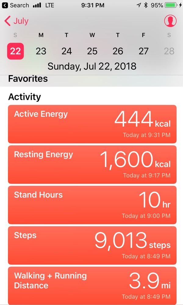
Trip Statistics:
- Today we drove 140 miles in the RV and 8 miles in the car. Total is 7,680 so far on this trip.
- We are staying at the Northern Nights RV Park in Glennallen for $39.54. Total for campgrounds so far is $1,679.95, or an Average of $30.54 per night.
- We paid $3.149 per gallon for gas today. $2,479.78 or an average of .32 cents a mile
-
Day 53- Girdwood hike at Alyeska Hotel
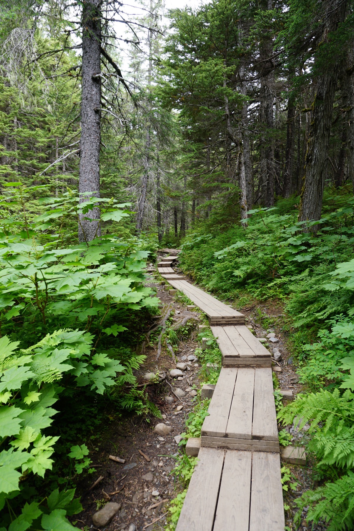
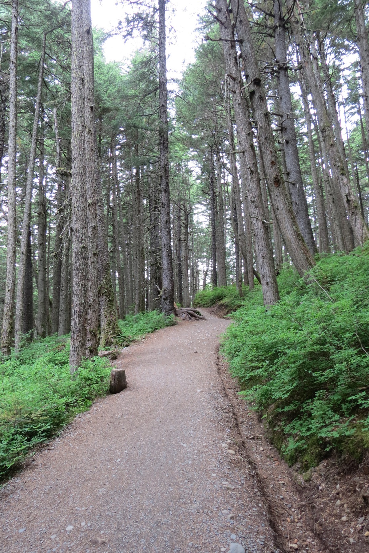
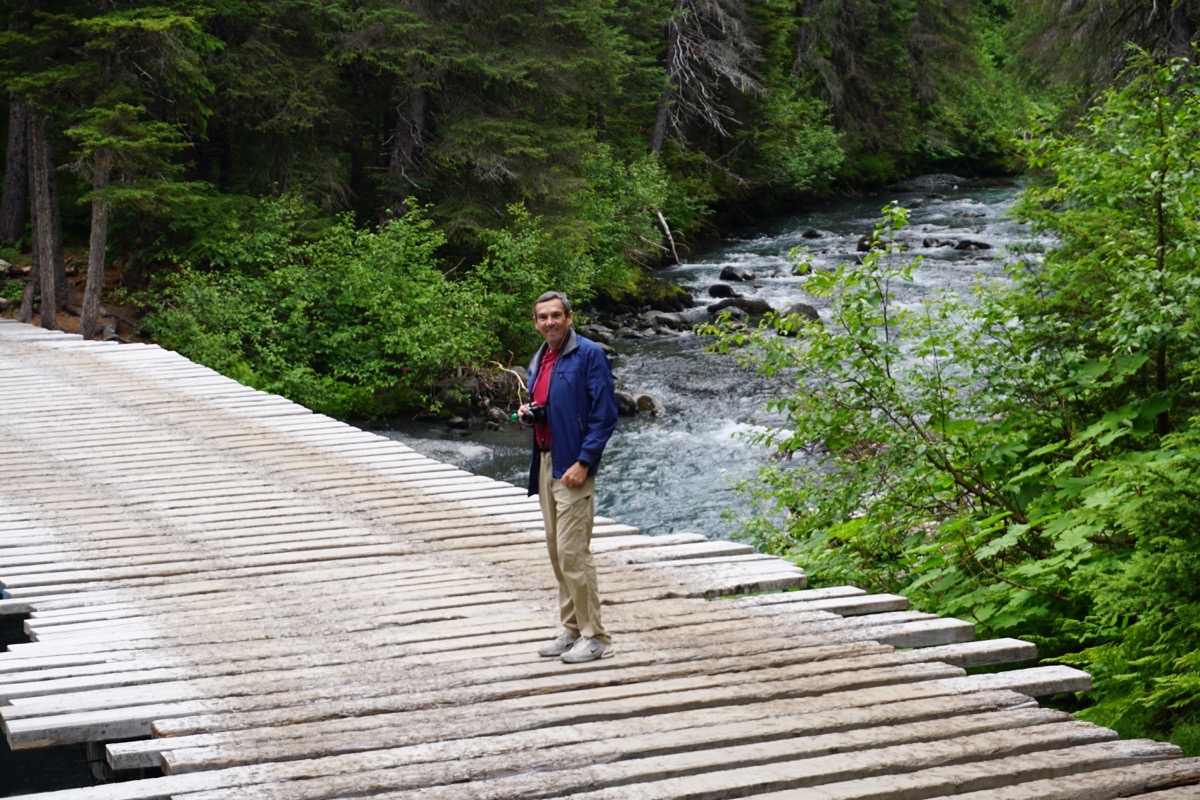
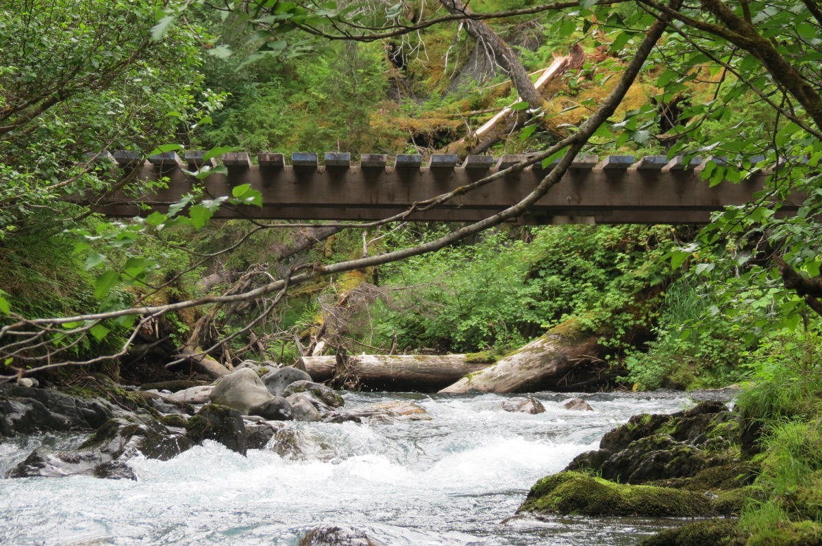
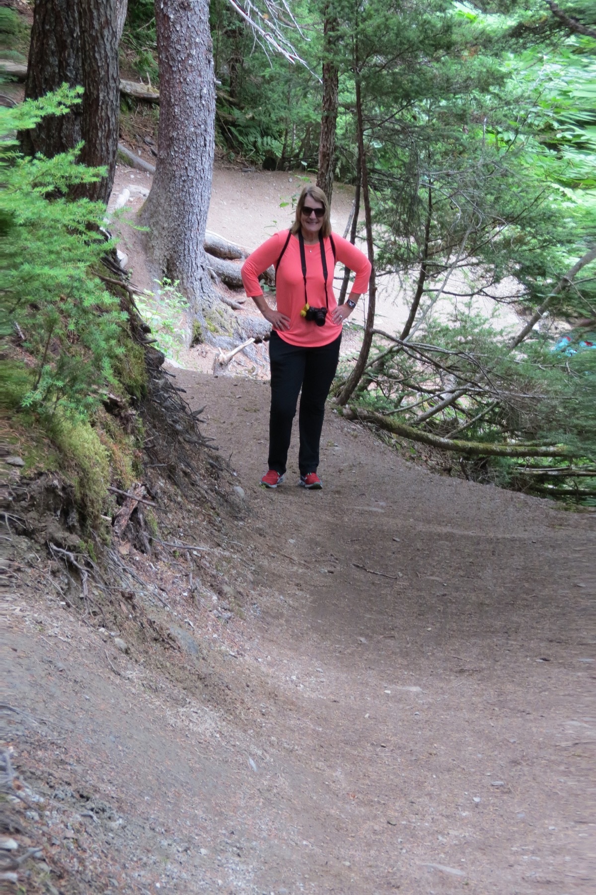
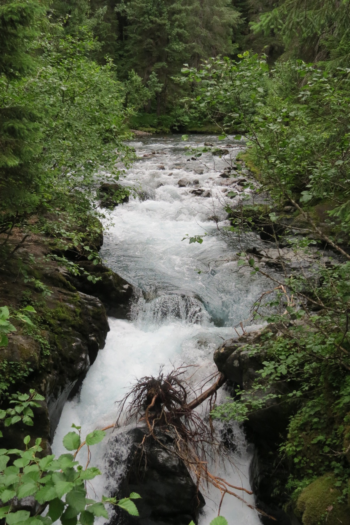
We drove to the Alyeska Hotel in Girdwood and hiked the Winter Creek Trail. During the six mile hike, we walked on raised wooden walks, over bridges, on steep dirt paths with big tree roots up and down through the forest. At the 2.5 mile point, we crossed the canyon in a hand tram. We went over and back in the hand tram and then hiked back to the parking lot.
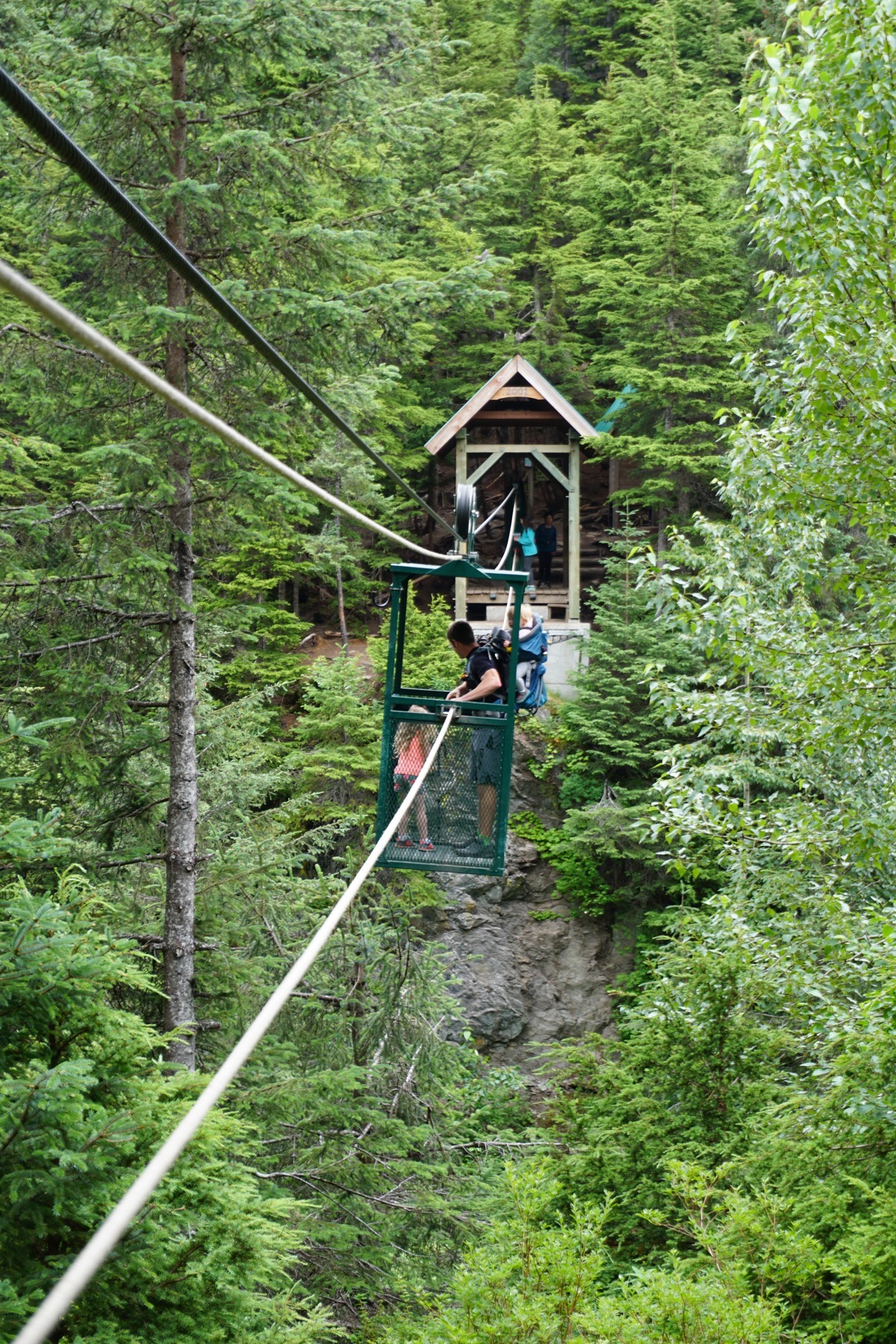
This dad and two kids went over in front of us. Notice the baby in the backpack hanging over the edge.
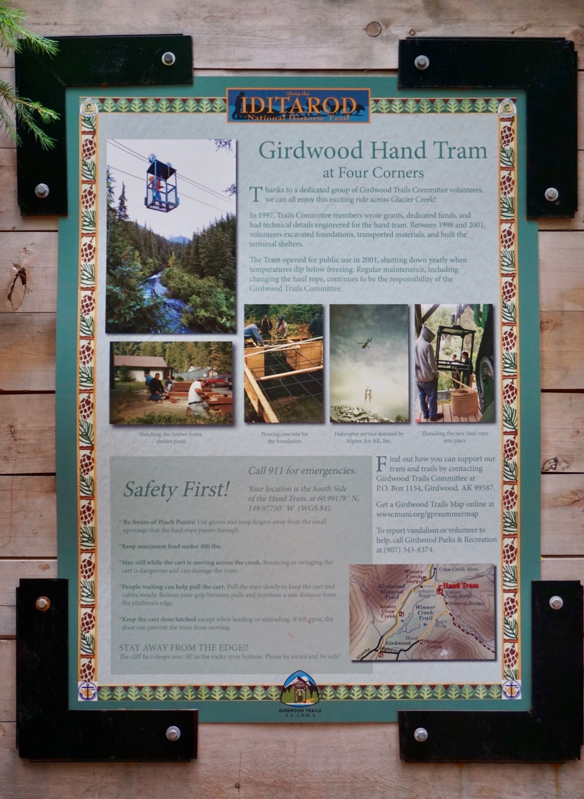
After we finished the hike we drove to Anchorage where I got my hair cut (WAY too short) and shopped for groceries. We are spending a free night in the Fred Meyer grocery store parking lot in Anchorage.
Trip Statistics:
- We drove 35 miles in the car and 75 miles in the motorhome. 7,273 miles so far on this trip.
- Gas was $3.219 a gallon today so far is $2,442.66 or an average of 33.6 per mile.
- Our overnight is free tonight, but the total spent so far is $1,605.35, an average of $30.29 per night .