-
Day 52-Cooper Landing
Beer Aware Project of Cooper Landing Elementary School
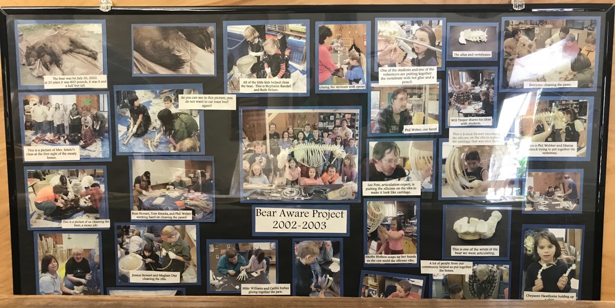
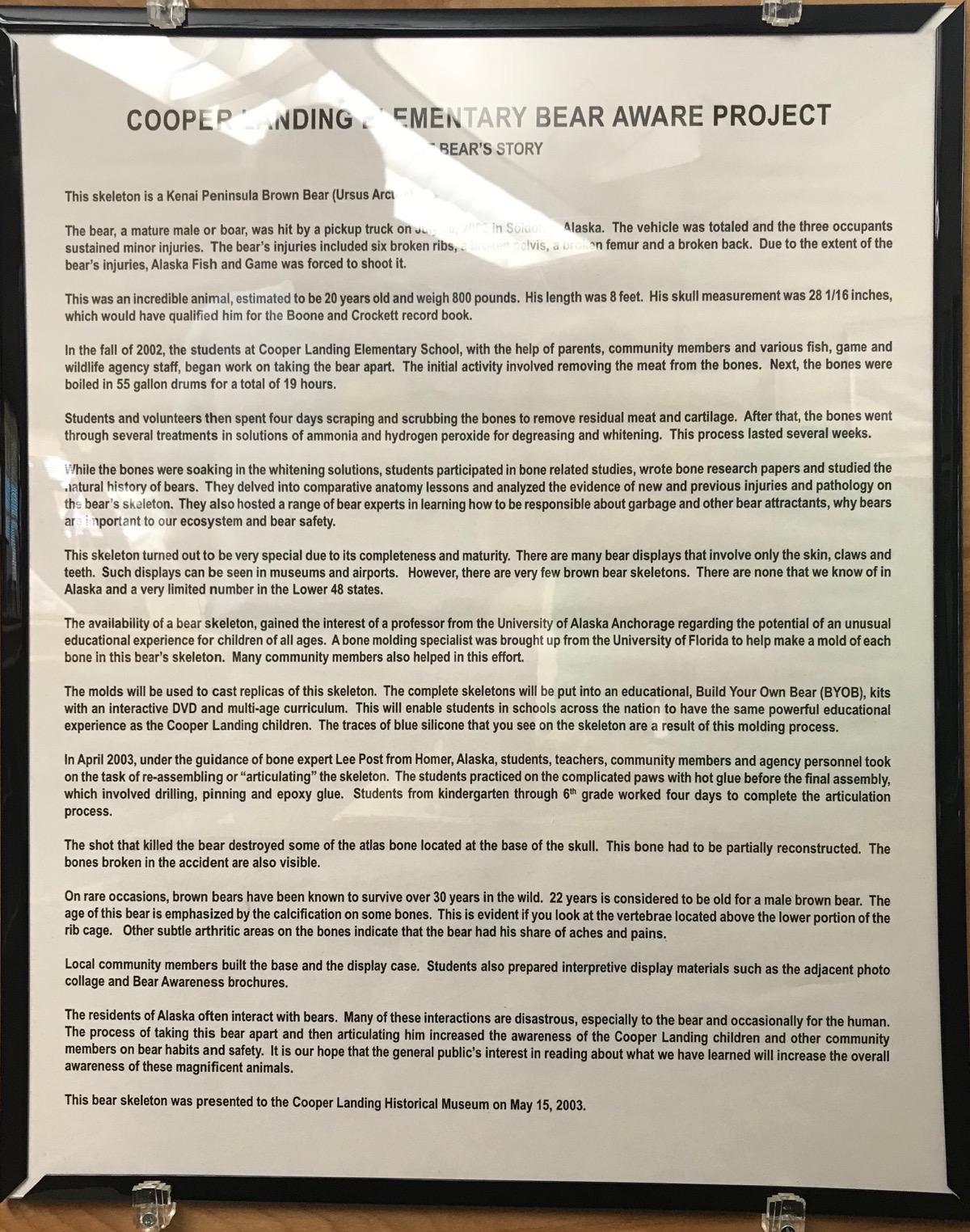
We drove to Cooper Landing today and stopped at the museum where we saw a skeletal reconstruction of a huge grizzly that had been hit by a truck (totaled the truck and injured the three passengers). The bear had six broken ribs, a broken pelvis and a broken back. Due to the extensive injuries to the bear, the game warden had to shot it. The bear was estimated to be 20 years old, weighed 800 pounds and was eight feet long.
The students at Cooper Landing Elementary School, parents and other volunteers began the process of taking the bear apart. They removed the meat from the bones and boiled the bones in a 55 gallon drum for a total 19 hours. Students and volunteers scraped the bones to remove the residual meat and cartilage which took weeks to complete.
Molds were made of each of the bones so that the molds could be used to create replicas of this bear skeleton in Build Your Own Bear Kits that come with an instructional DVD.
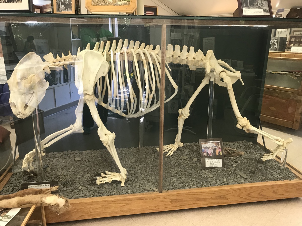
The reconstructed brown bear skeleton
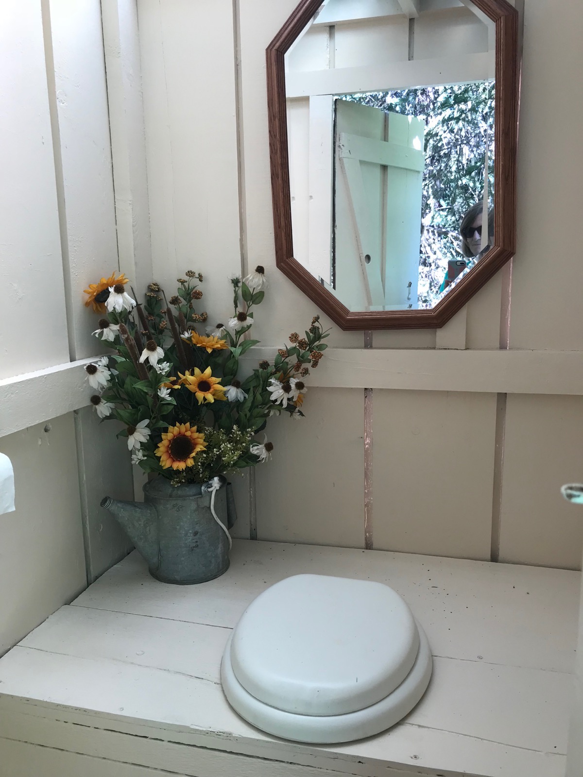
The Cooper Landing Museum’s outhouse - the nicest one I’ve ever seen!
Russian Falls Hike in Chugach National Forest
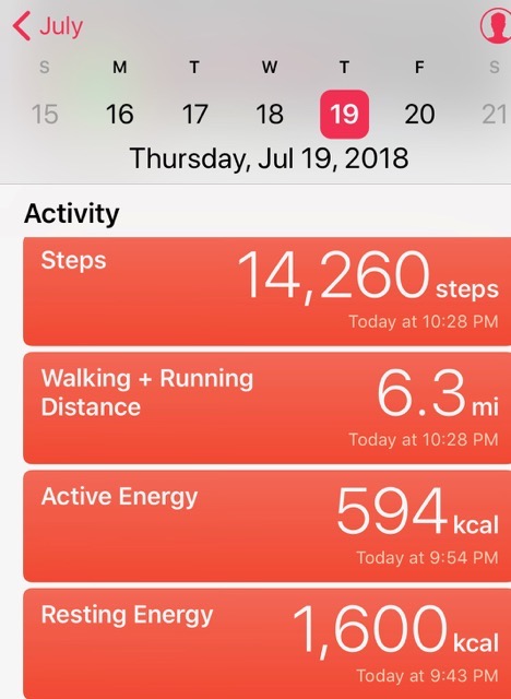
In Cooper Landing we hiked 6.3 miles on the Russian Falls Trail to the viewing platform above the falls. There, we watched salmon attempt to jump up the falls. On the way to the falls, we took a side trail to a salmon wier, a fenced obstruction placed across the river to corral salmon to a cage on the end were they are counted and released. So far this season 40,000 have been counted on this river which is on par for the amount that passed this point last year.
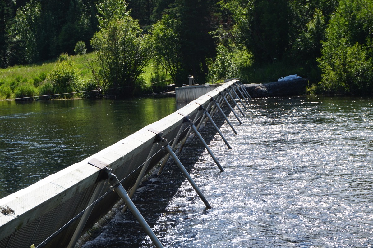
Salmon Weir
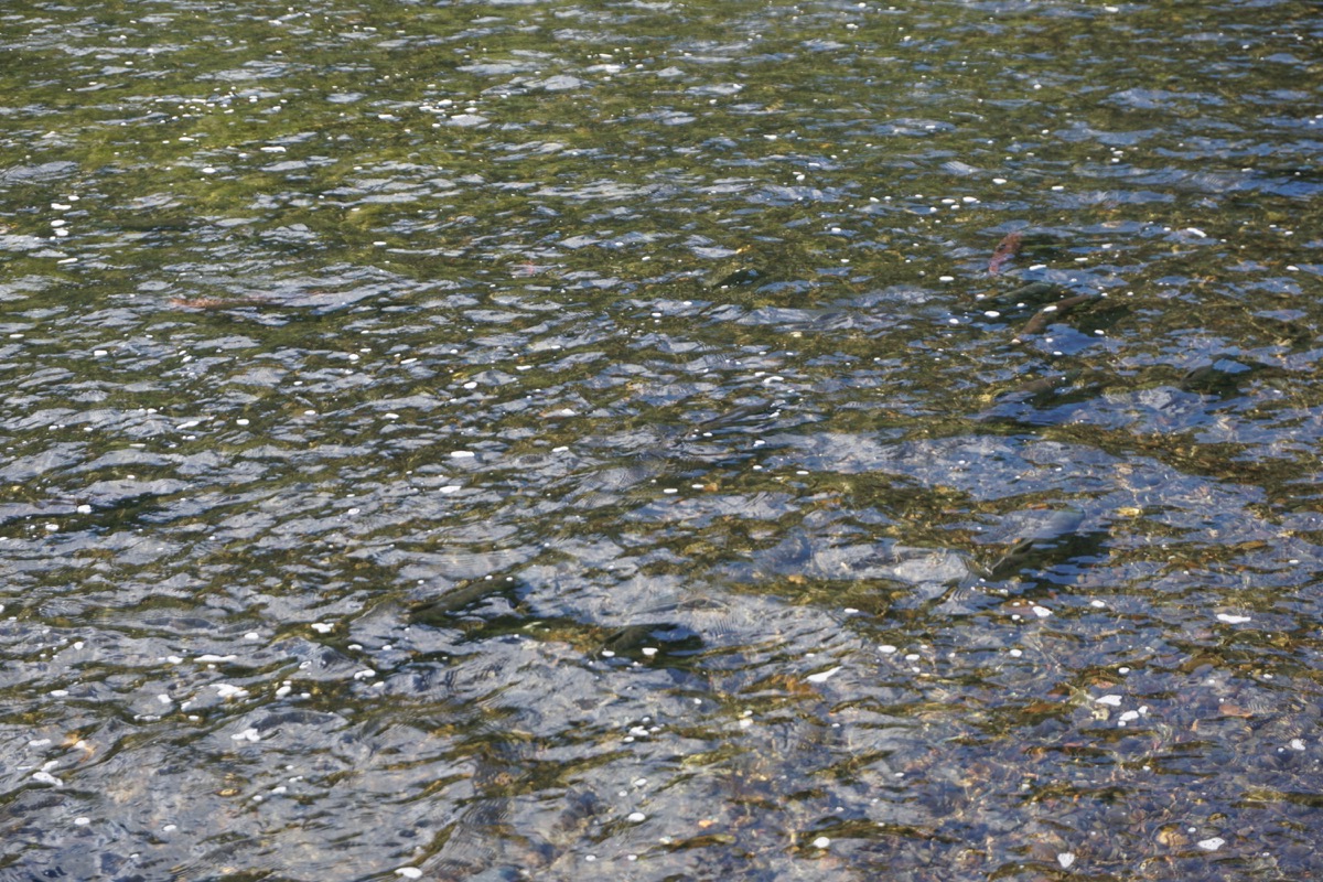
Those black spots in the water are salmon swimming upstream.
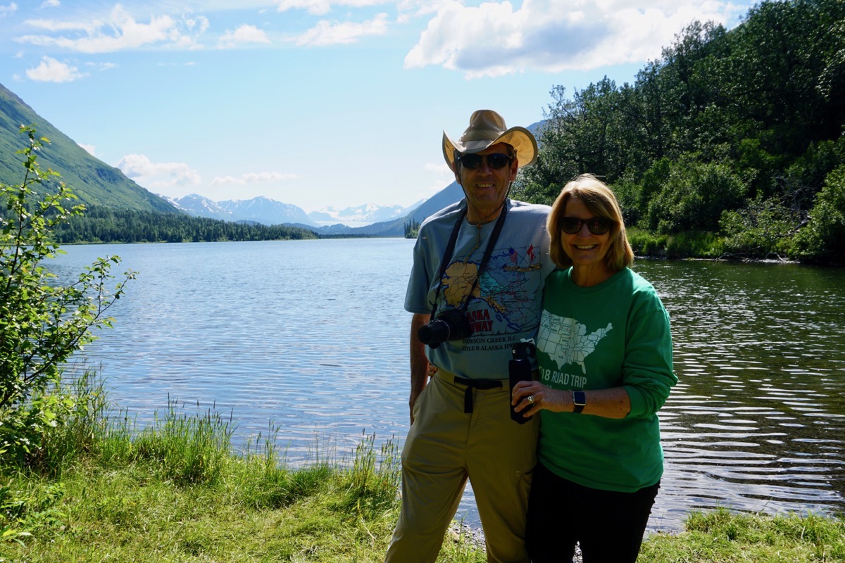
This picture was taken right past the wier.
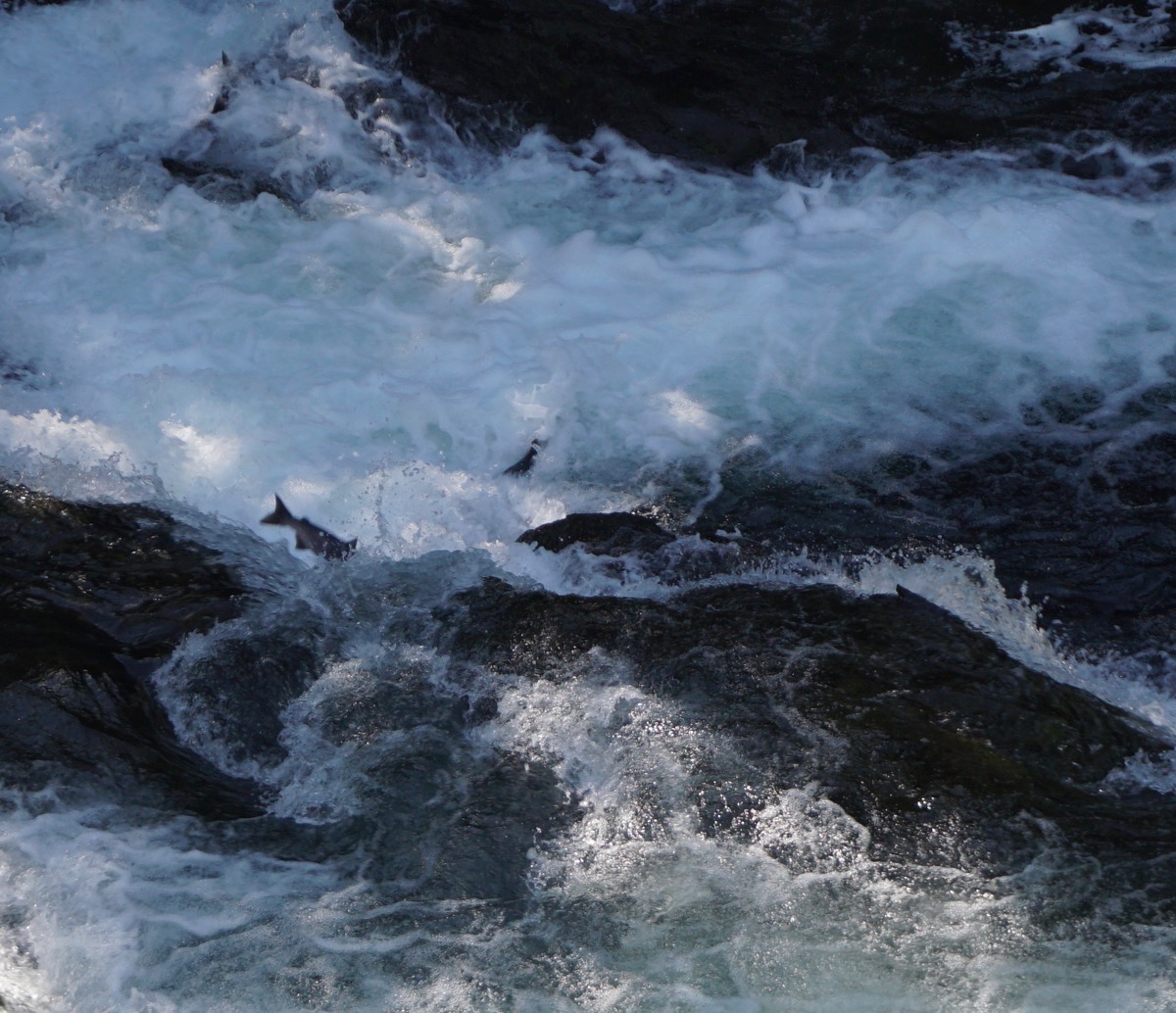
A few salmon trying to jump up the Russian Waterfall
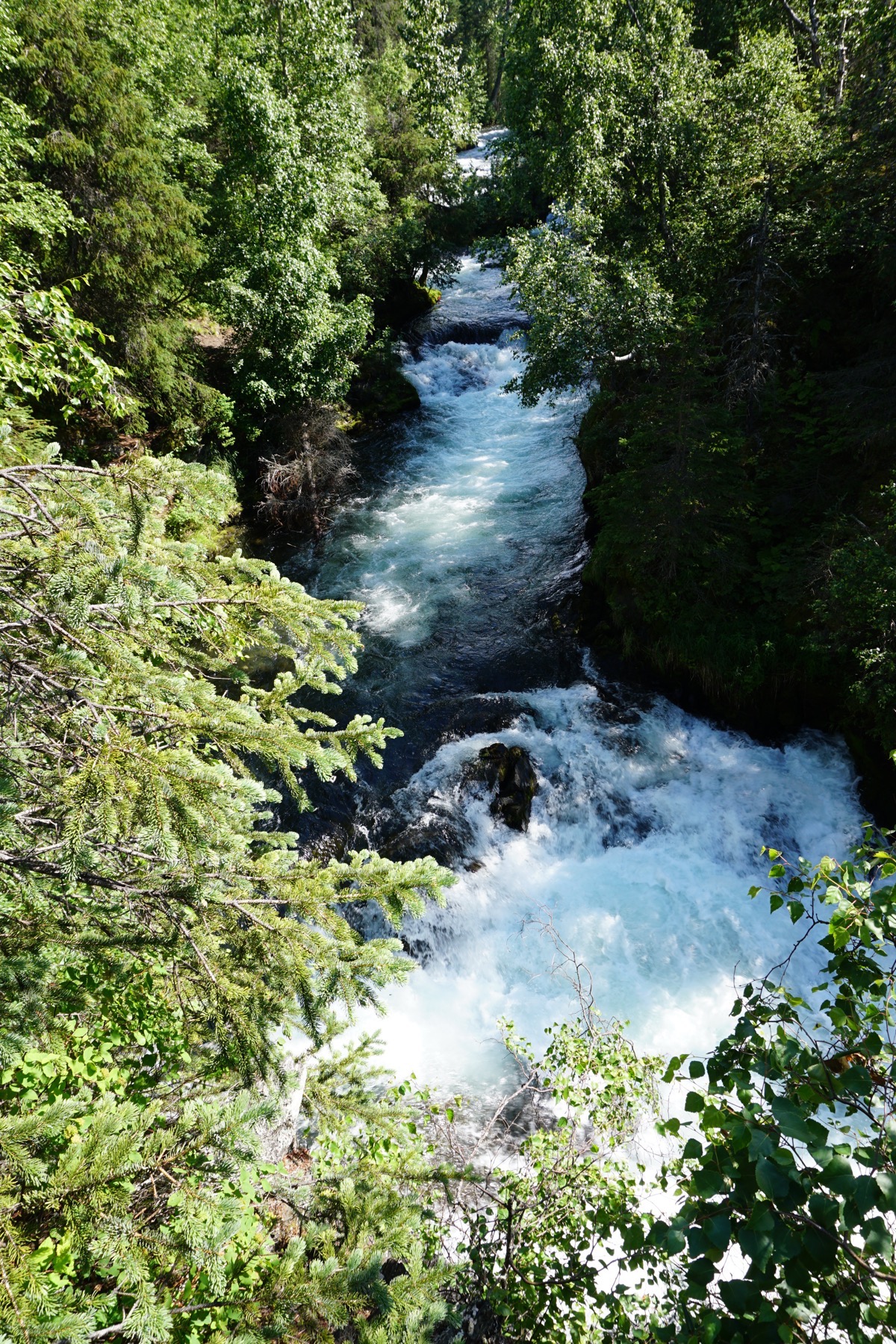
Russian Falls
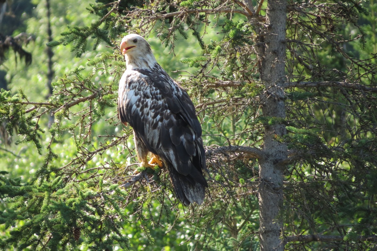
An immature bald eagle.
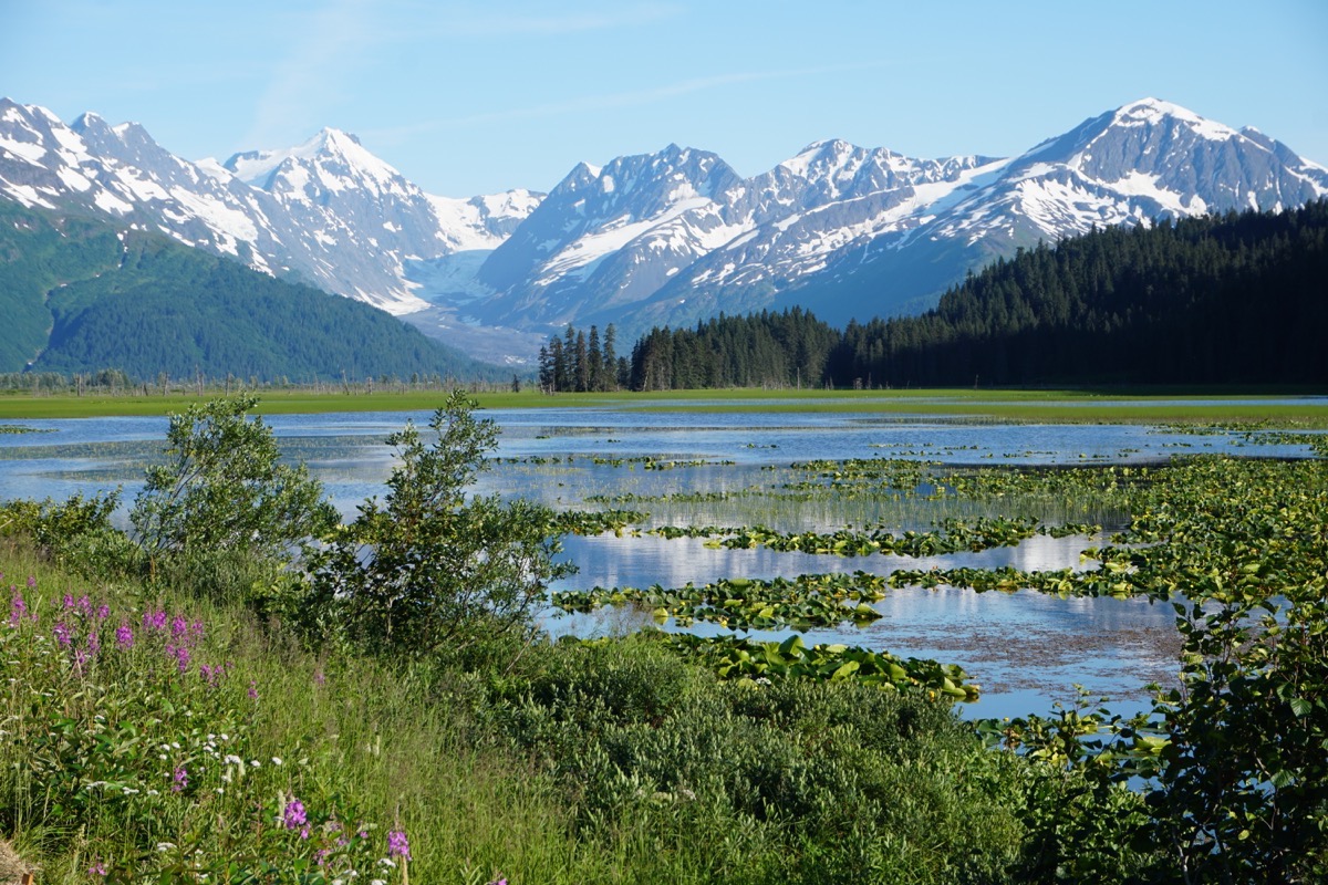
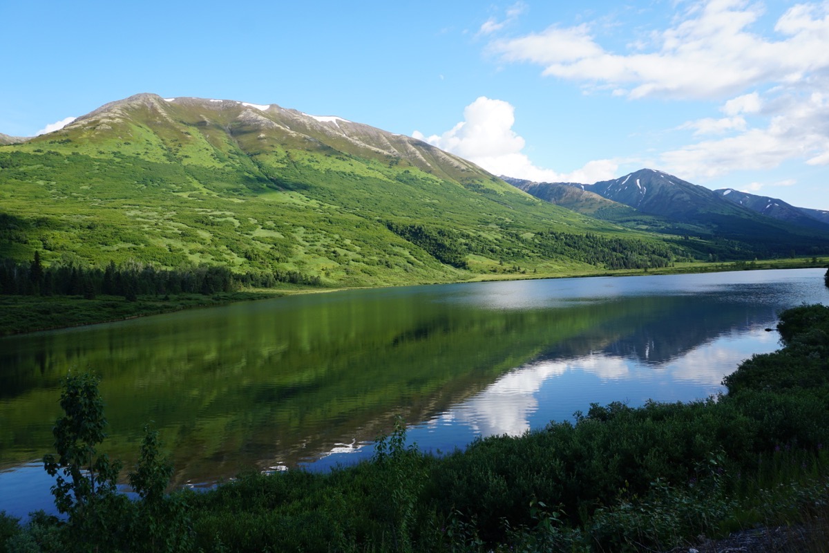
Views from our drive back to Portage
Portage River RV Park and Cabins
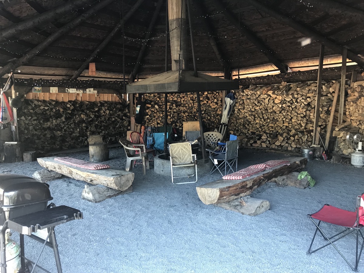
Every night at 6:00 the owners build a fire in this area for people to enjoy and visit. There are two gas grills available for whomever wants to use them and wire hot dog and marshmallow sticks.
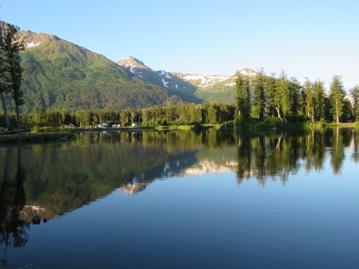 This is the view from the RV Park. The pull through spaces are all just gravel with no trees, but there are back in spaces along a creek that are private and spacious.
 Trip Statistics:
- We drove the car 120 miles today and left the motorhome parked. Total trip mileage so fare is 6,173.
- This is our third night in the Portage RV Park at a rate of $45 per day. Our total campground is $1,515.35, or an average of $30.31.
- Sunrise 5:01AM; sunset 10:58PM.
-
Day 51 - Whittier and the 26 Glacier Tour with Phillips
Driving to Whittier is only 20 minutes away if you get to the tunnel at the right time. Traffic can go towards Whittier and through the tunnel on the half hour and must come back through on the hour.
 Whittier Tunnel
The Alaska Railroads Whittier Tunnel in the longest tunnel in North American at 2.5 miles long. It is a single lane tunnel that shares that one lane with trains and cars. It was the first tunnel with jet turbine and portal fan ventilation. First tunnel designed for -40 F and 150 mph winds. The passage was constructed by the military during World War II to act as Alaska’s main supply route for goods arriving in the protected deep-water port in Whittier. When the military abandoned Whittier in the 1960’s, the tunnel was made a part of the Alaska highway system and given a massive overhaul.
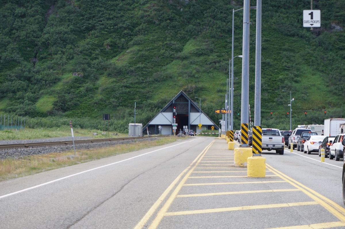
The triangular building is the tunnel. It is 2.5 miles long, the longest in North American
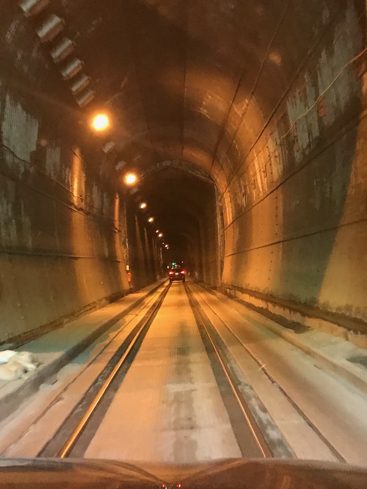
The cars drive over the tracks though the tunnel.
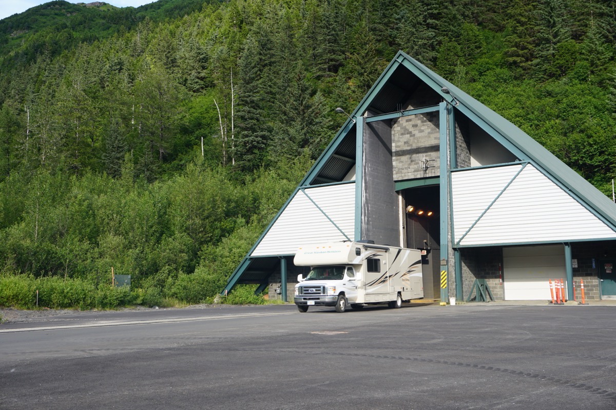
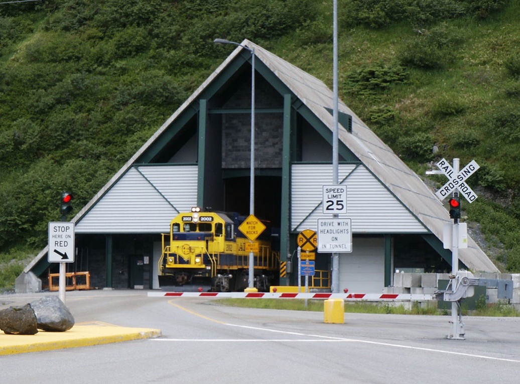
The trains go right after all the cars have gone through.
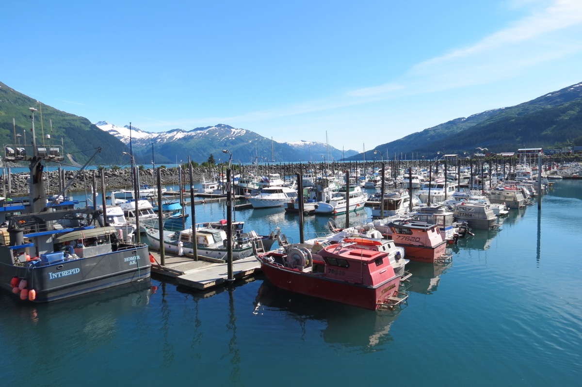
To ensure we arrived in time for the boat tour, we left at 9:45 and waited in line for the 10:30 time slot. Everyone goes to Whittier on the half hour and returns on the hour. Once we got to Whittier we had about an hour and a half that we spent walking around the very small town. There were a few gift shops and places to eat and lots of boats. We were surprised at the size of the industrial tonnage that goes through the port in addition to cruise ships that start and end here.
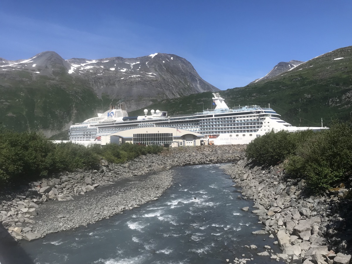
Passengers where beginning their cruise vacation after being brought in by train.
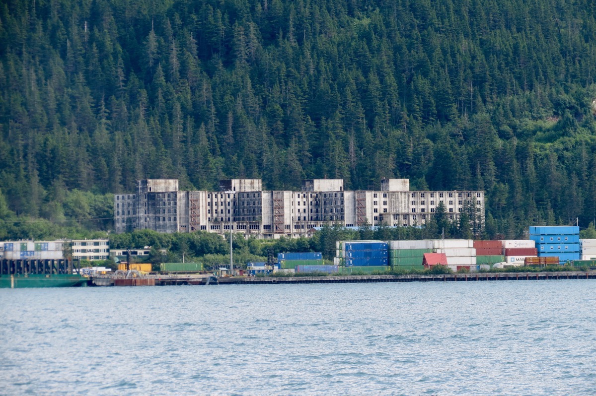
First building we noticed when we came into town is this huge building that has been abandon by the government. It was constructed by the military in 1953 as a combined mess hall, sleeping quarters, recreational, medical and administrative facility. It used to be one of the largest buildings in Alaska, often being referred to as "the city under one roof”. The building continued to operate until 1966, at which point it was shuttered when the Port of Whittier was transferred to the General Services Administration for disposal.
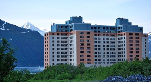
This building called Begich Towers was built by the military to house families. It houses a police station, grocery store, clinic, church, convenience store and school. Begich Towers also has a bed and breakfast where guests are invited to stay. Approximately 80% of the town lives here now.
26 Glaciers Tour by Phillips Cruises & Tours
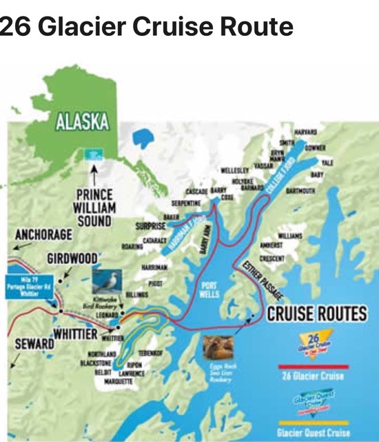
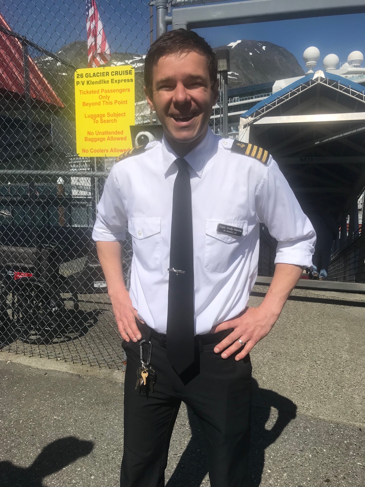
We booked an afternoon glacier boat tour with Phillips Cruises to see 26 glaciers in the Prince William Sound. Our boat captain was Cody Hanna from St. Amant, LA. He has been up here as a boat captain for seven years. In the winter he works in Covington. He went to high school with Erin!
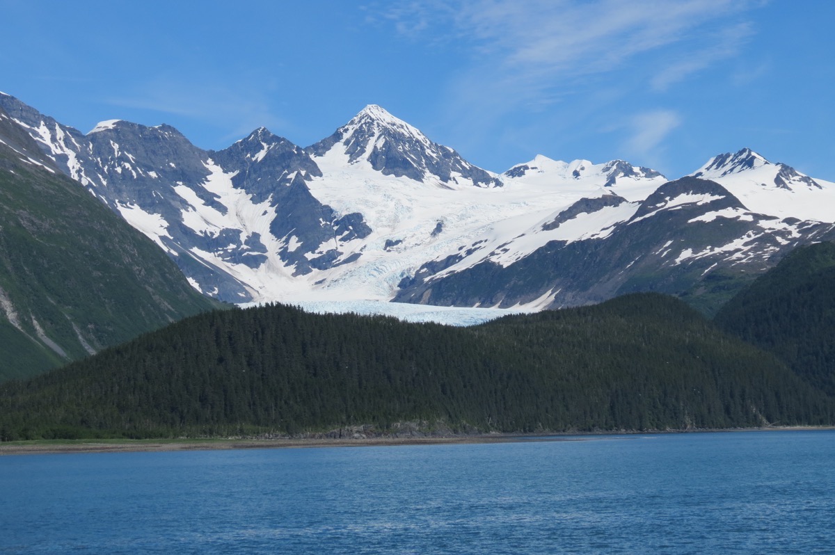
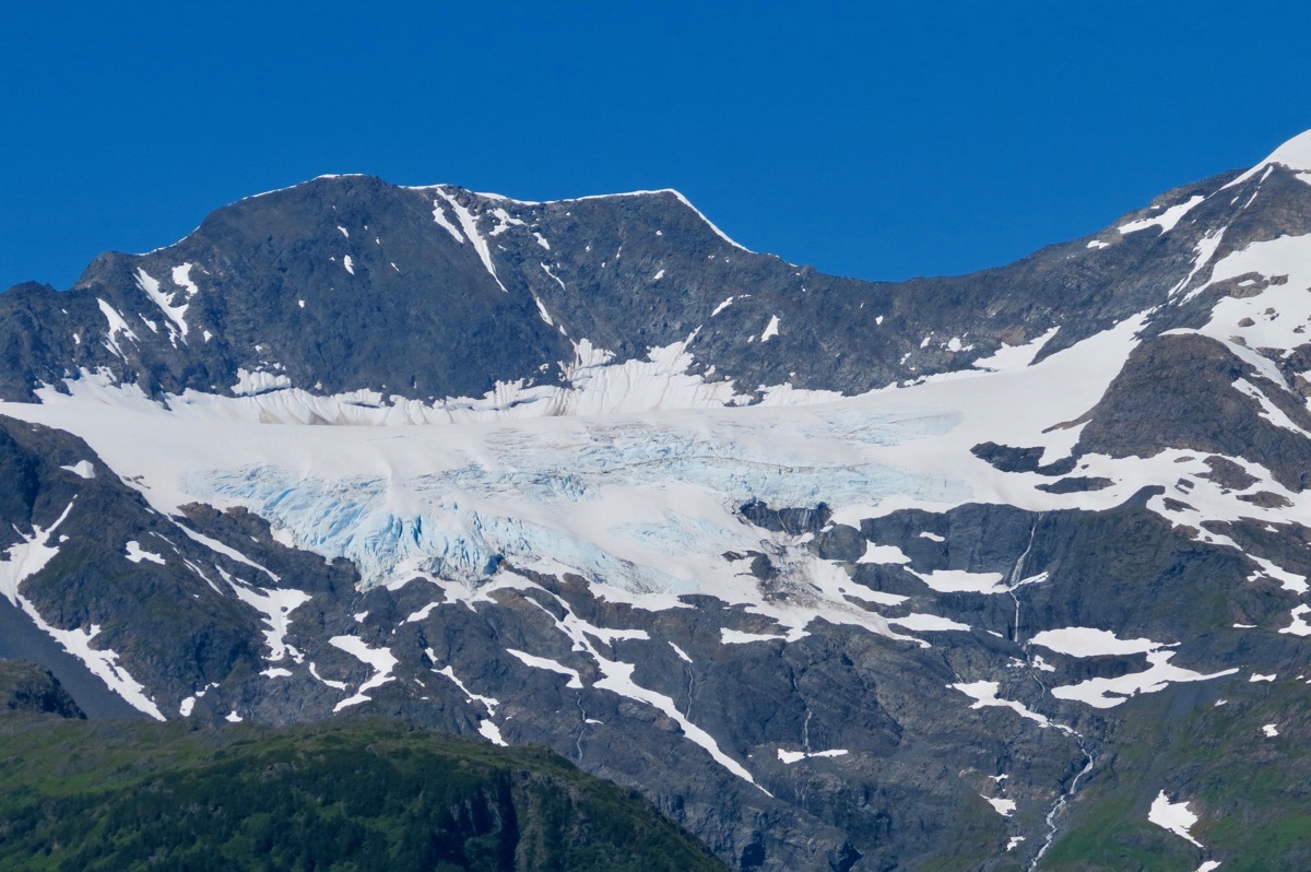
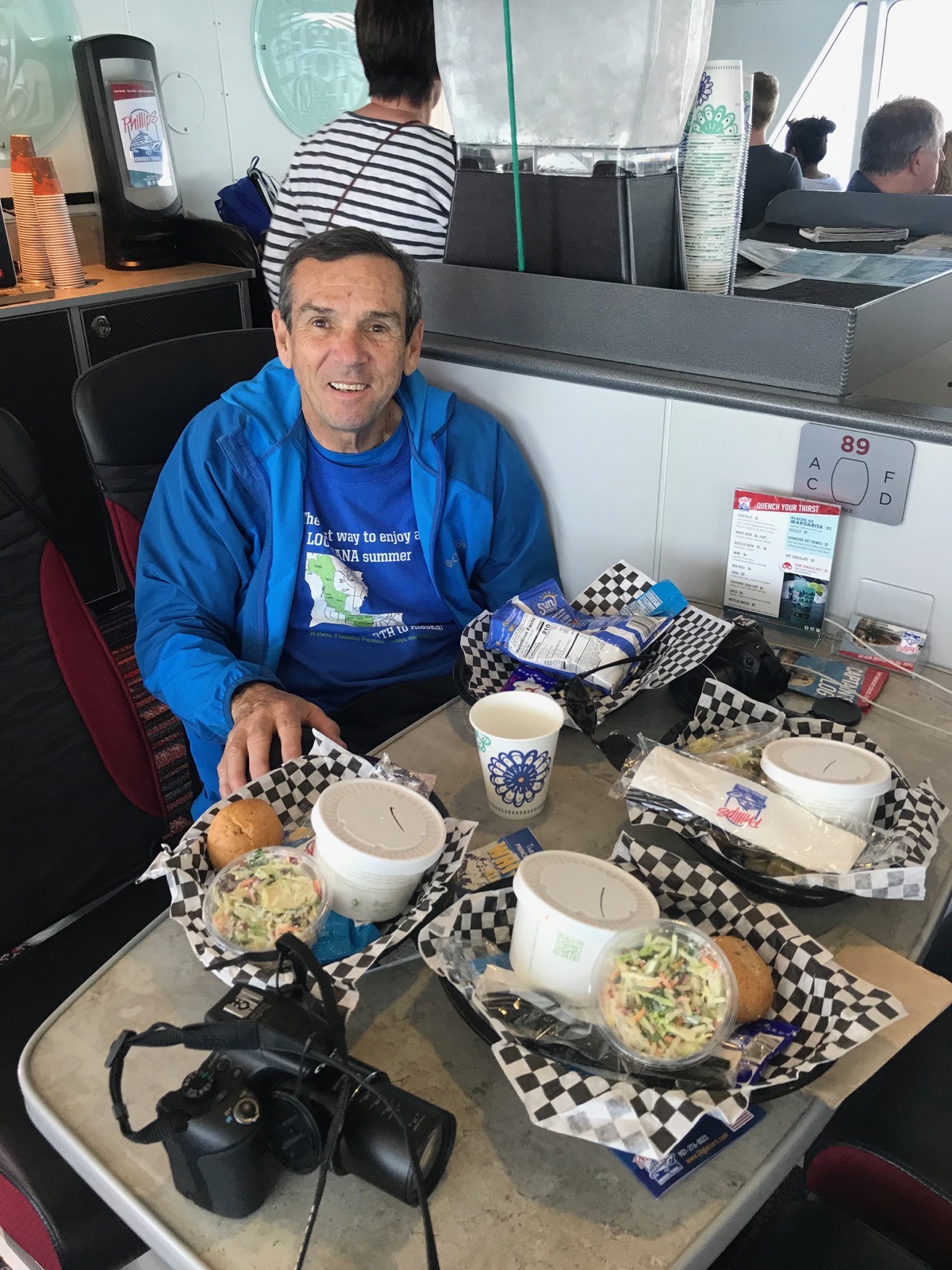
They served us a choice of vegetarian chili, salmon chowder or hot dogs.
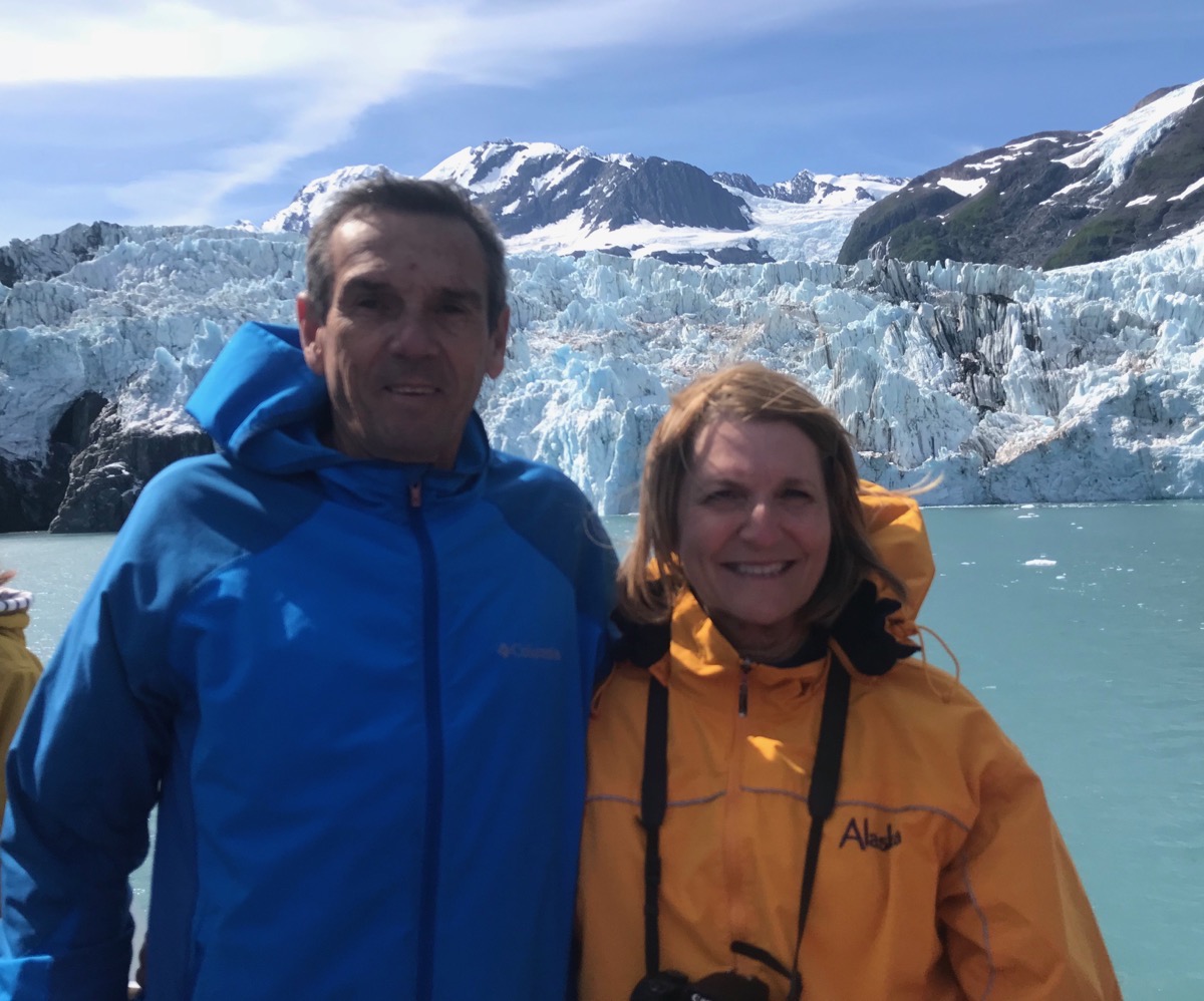
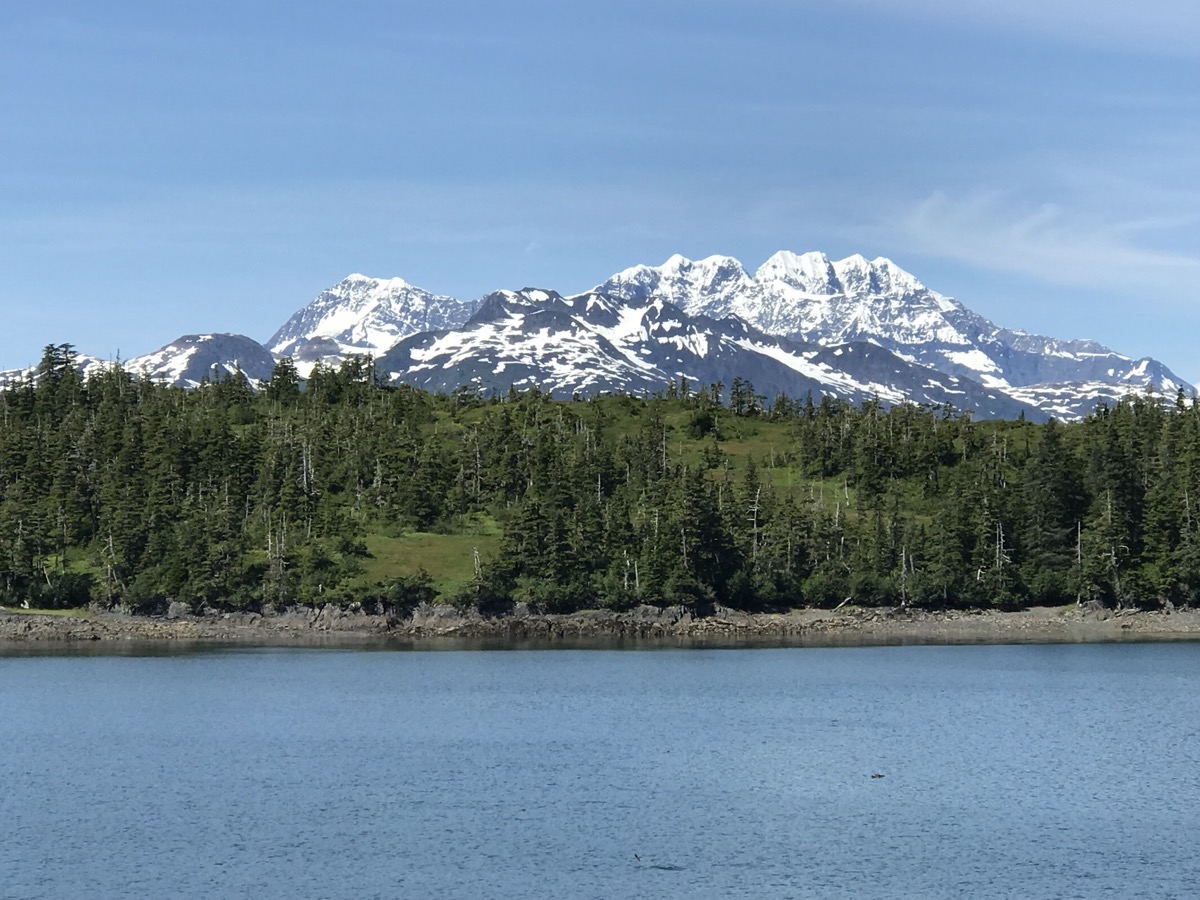
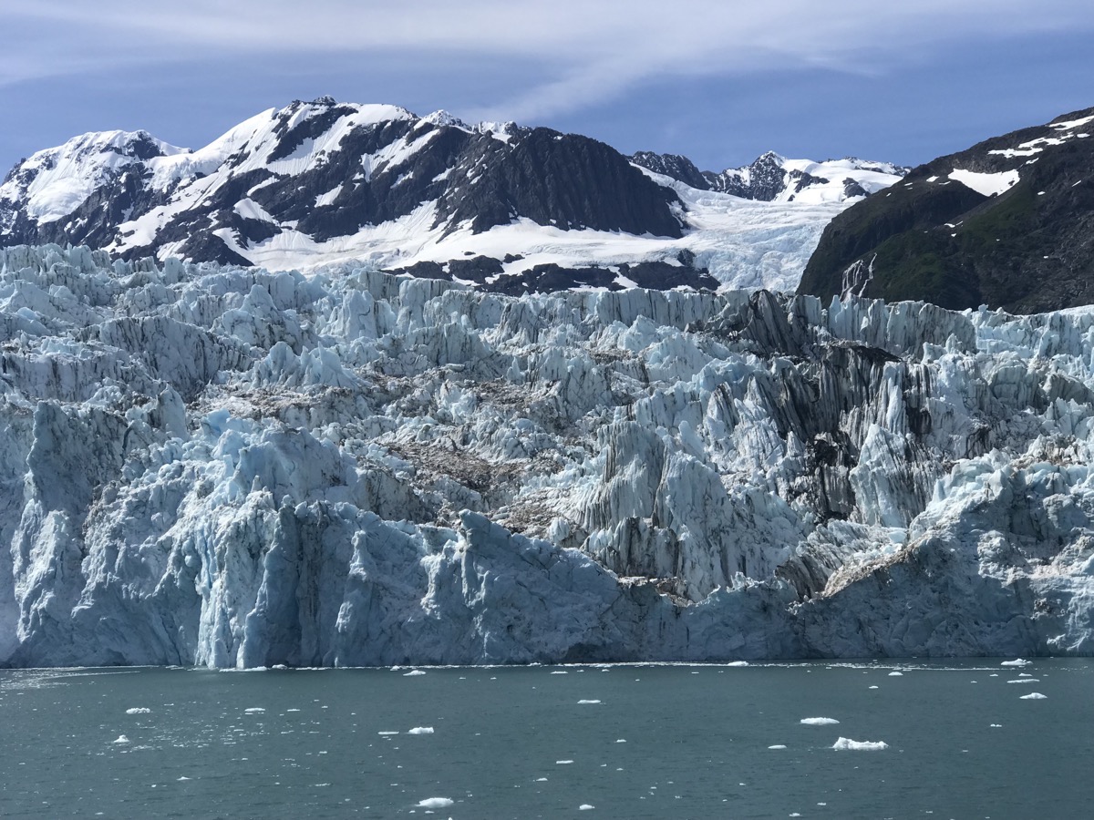
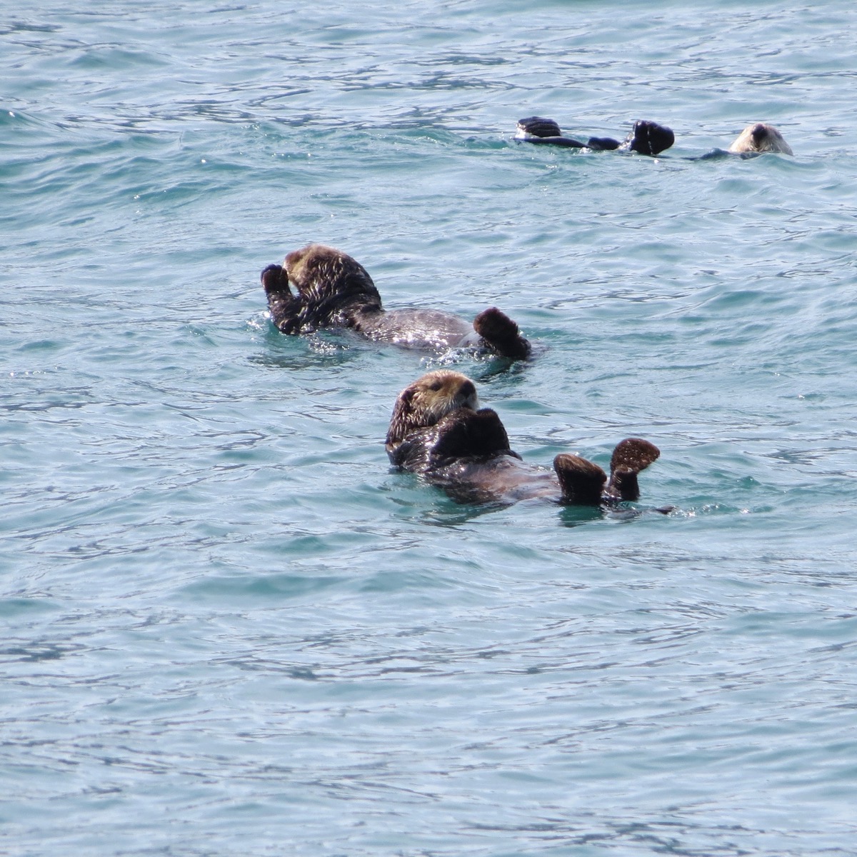
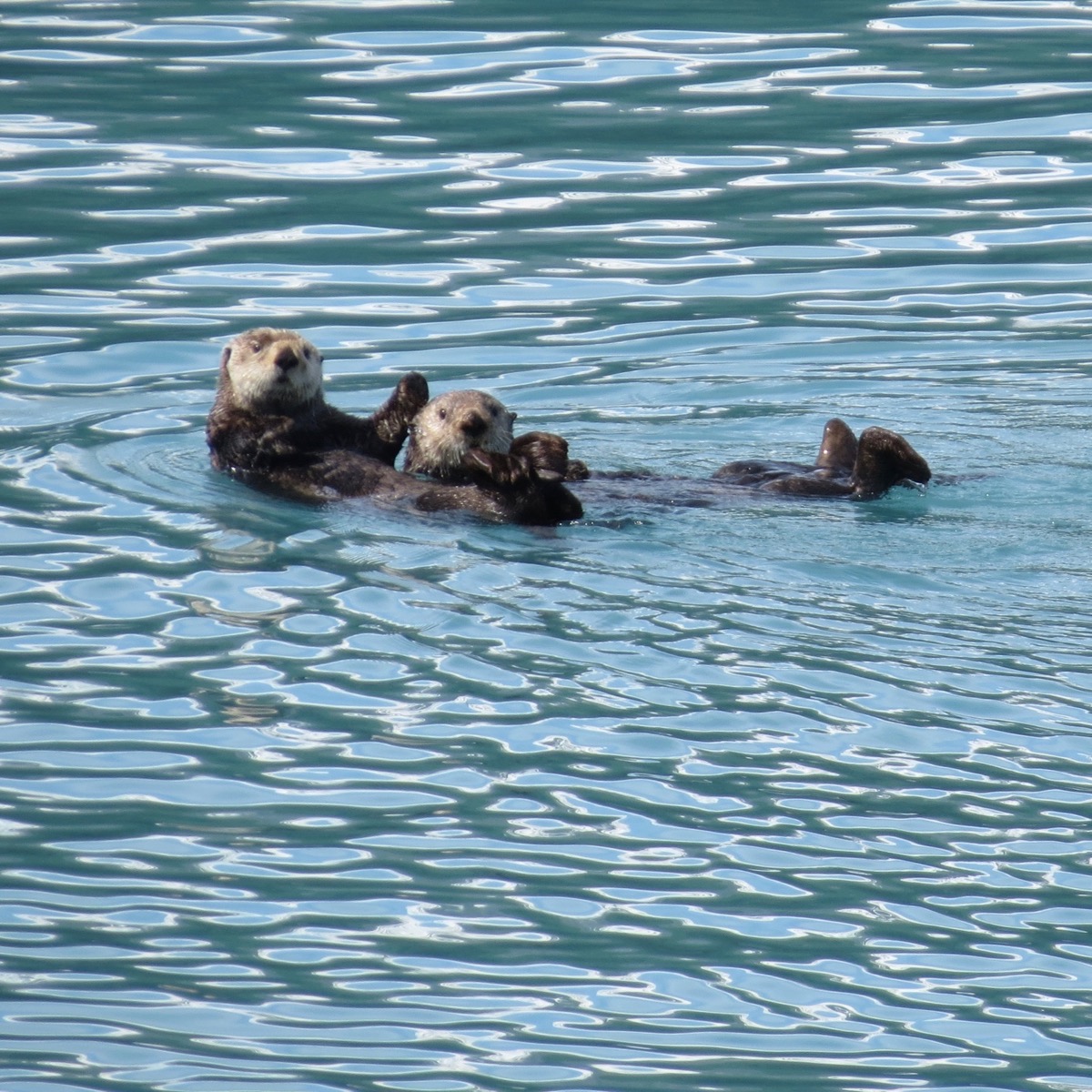
We saw rafts of sea otters floating along beside us at times.
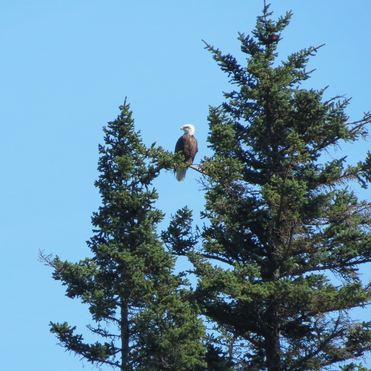
An island with eagles in the trees (but this is as good as my zoom lens would go)
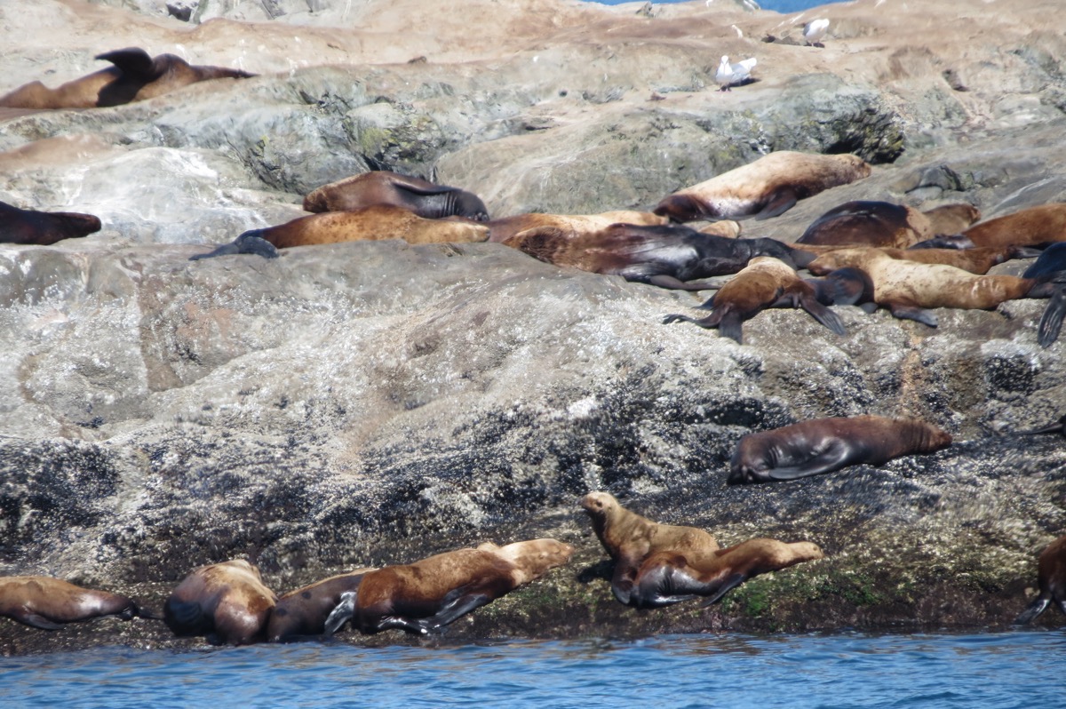
An island of seals that were basking in the sun.
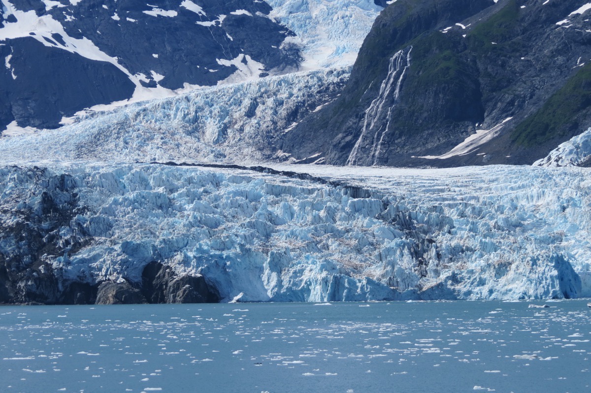
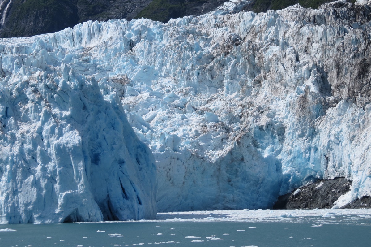
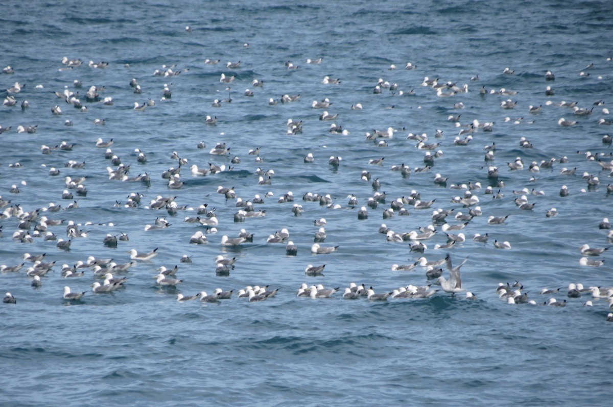
We were supposed to see a rookery of black-legged kittiwake, but their nest were empty and they were floating in the water.
-
Day 50 - Driving from Anchorage to Girdwood on the Seward Highway
Seward Highway
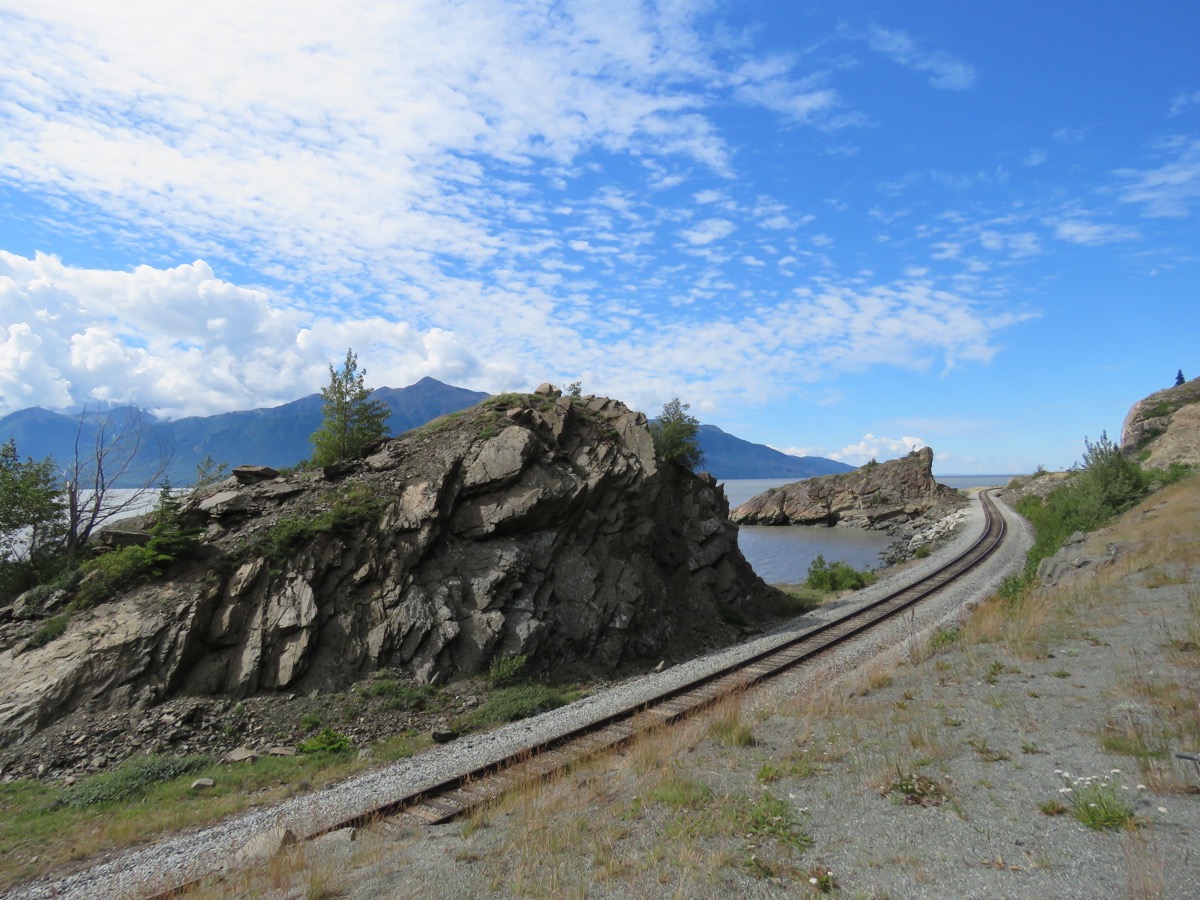
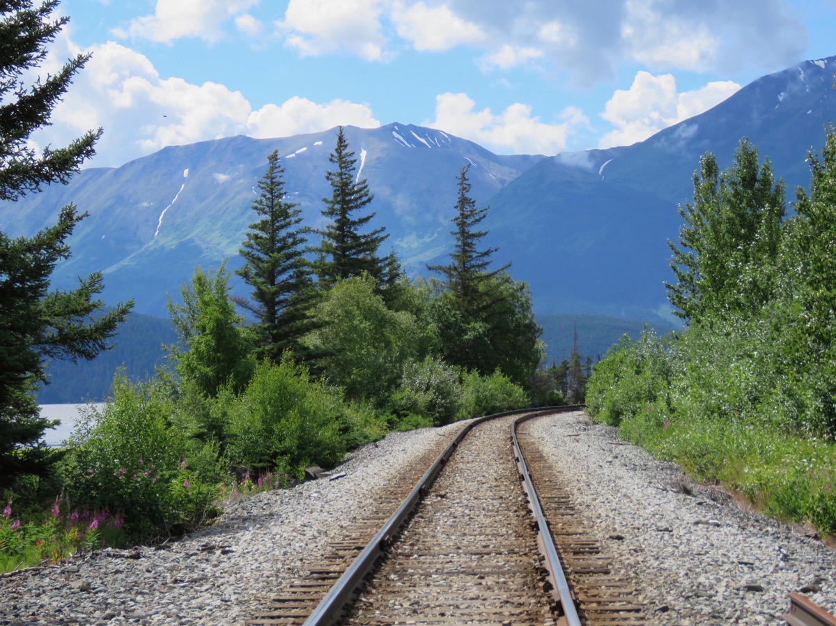
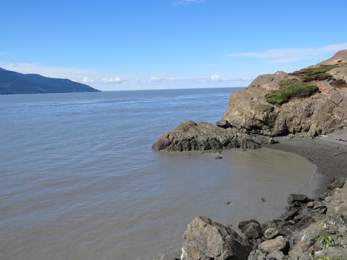
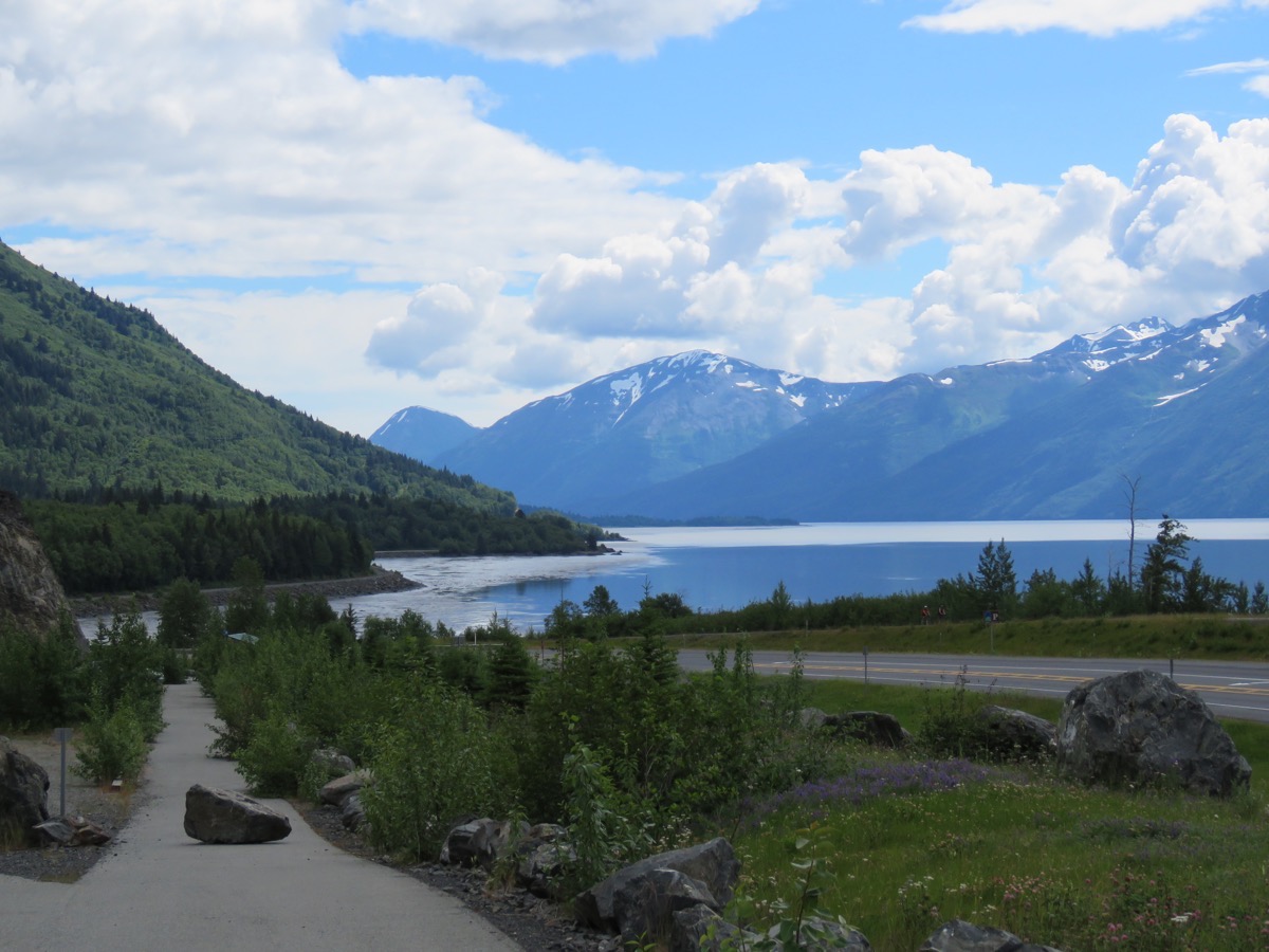
We drove the Seward Highway from Anchorage to Portage where we camped at the Portage Valley RV and Cabins. The Seward Highway is an absolutely beautiful drive—the views are even more magnificent than Denali National Park. The highway ran along Cook Inlet and there were magnificent jagged mountains with glaciers on the op
posite side. We stopped at Turnagain Arm Trail and hiked a little and then stoped at McHugh Creek and hiked some more. We stopped at Beluga Point where beluga whales often come in with the tide, but we did not see any. Our last stop was at Windy Point where Dall sheep are up high near the mountain peeks, but we didn’t see any of them either.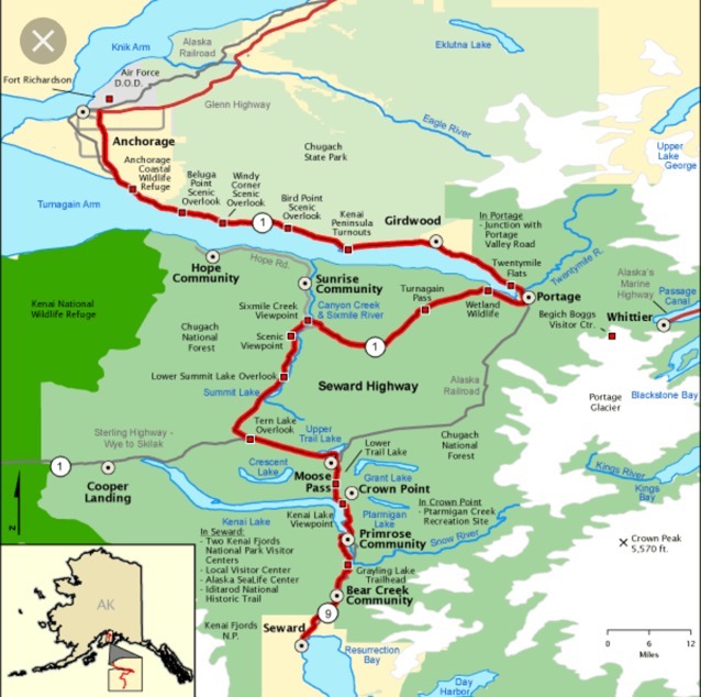
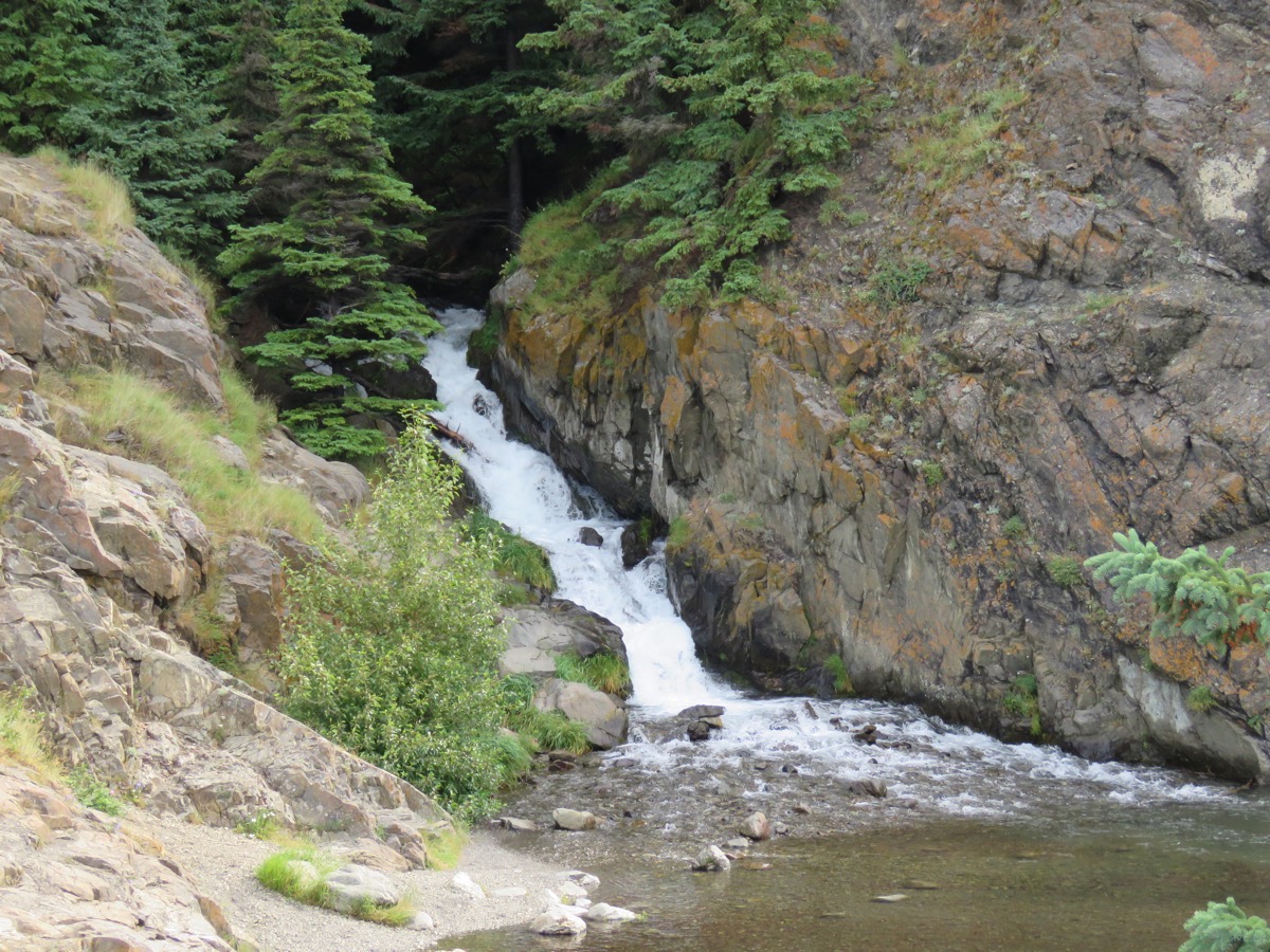
Turnagain Arm Trail
Mchugh Creek hike
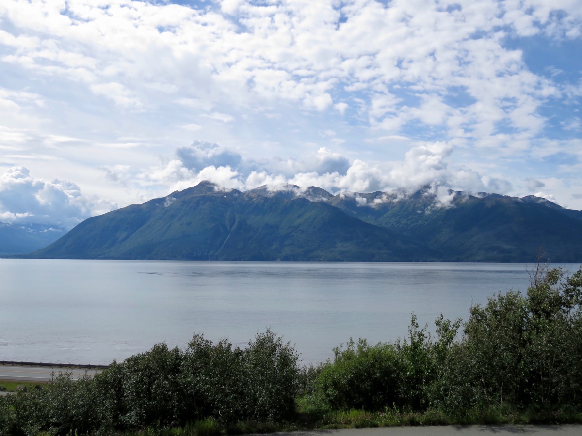
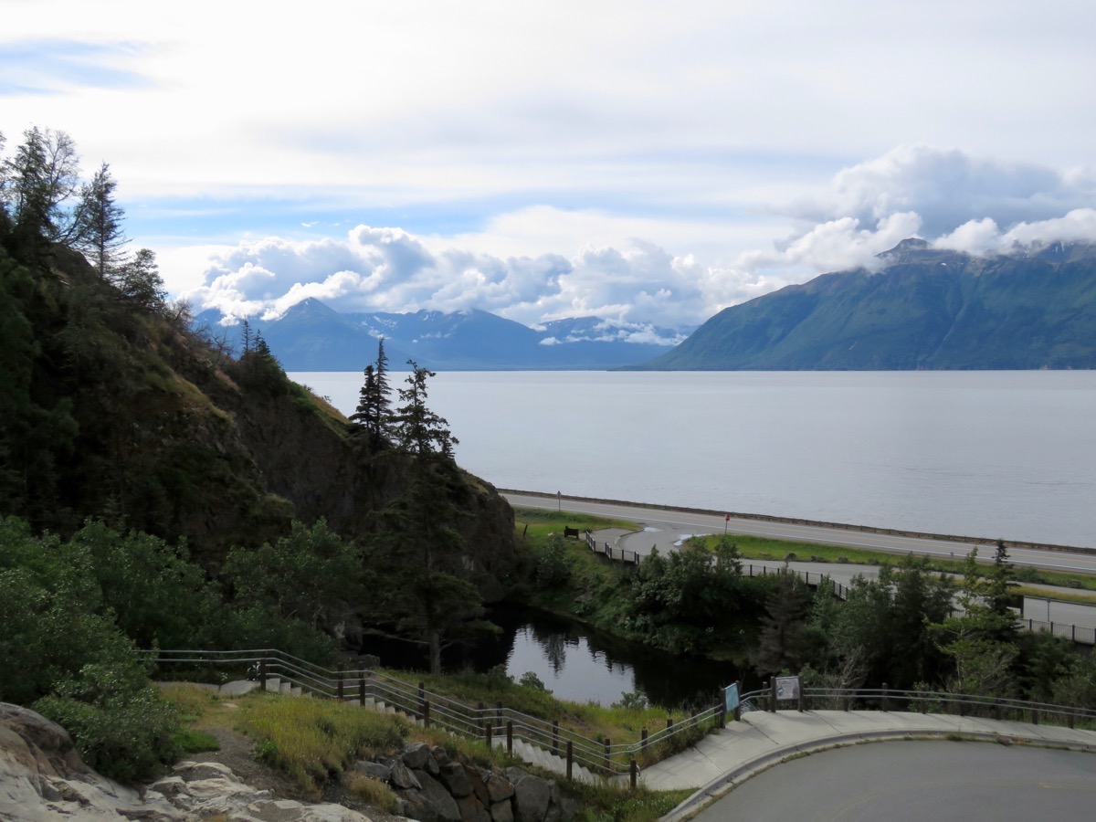
Windy Point view
Windy Point
Alyeska Resort Tram and glacier hike
After we parked the motorhome at the RV Park, we drove to the Alyeska Resort where we rode the tram to the top of Mt. Alyeska and then hike the trail from there up to the glacier.
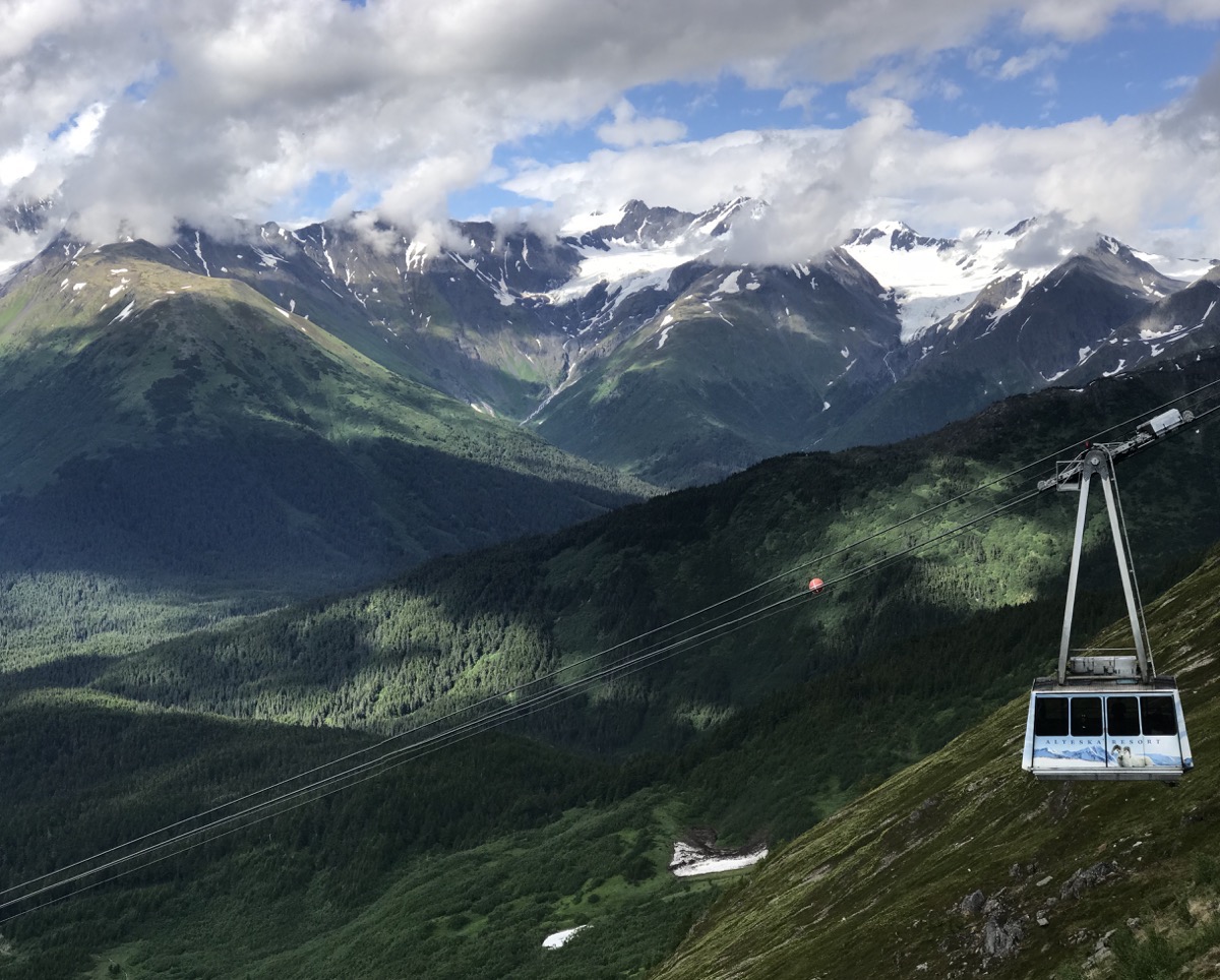
From the top we could see Penquin Glacier, Ragged Top Glacier, Crow Glacier, Goat Glacier, Eagle Glacier and then we hiked to Alyeska Glacier.
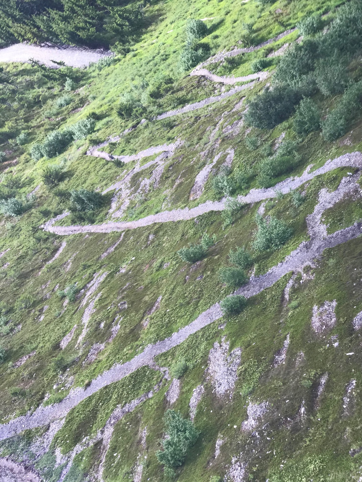
Instead of riding the tram we could have hiked up, but we opted for the easier choice.
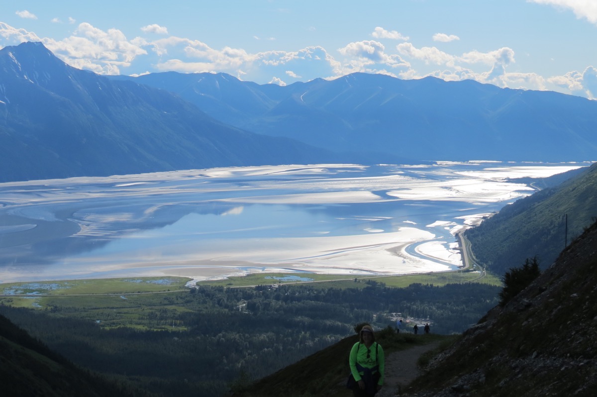
The view behind us as we are walking up to the glacier.
Alyeska Glacier
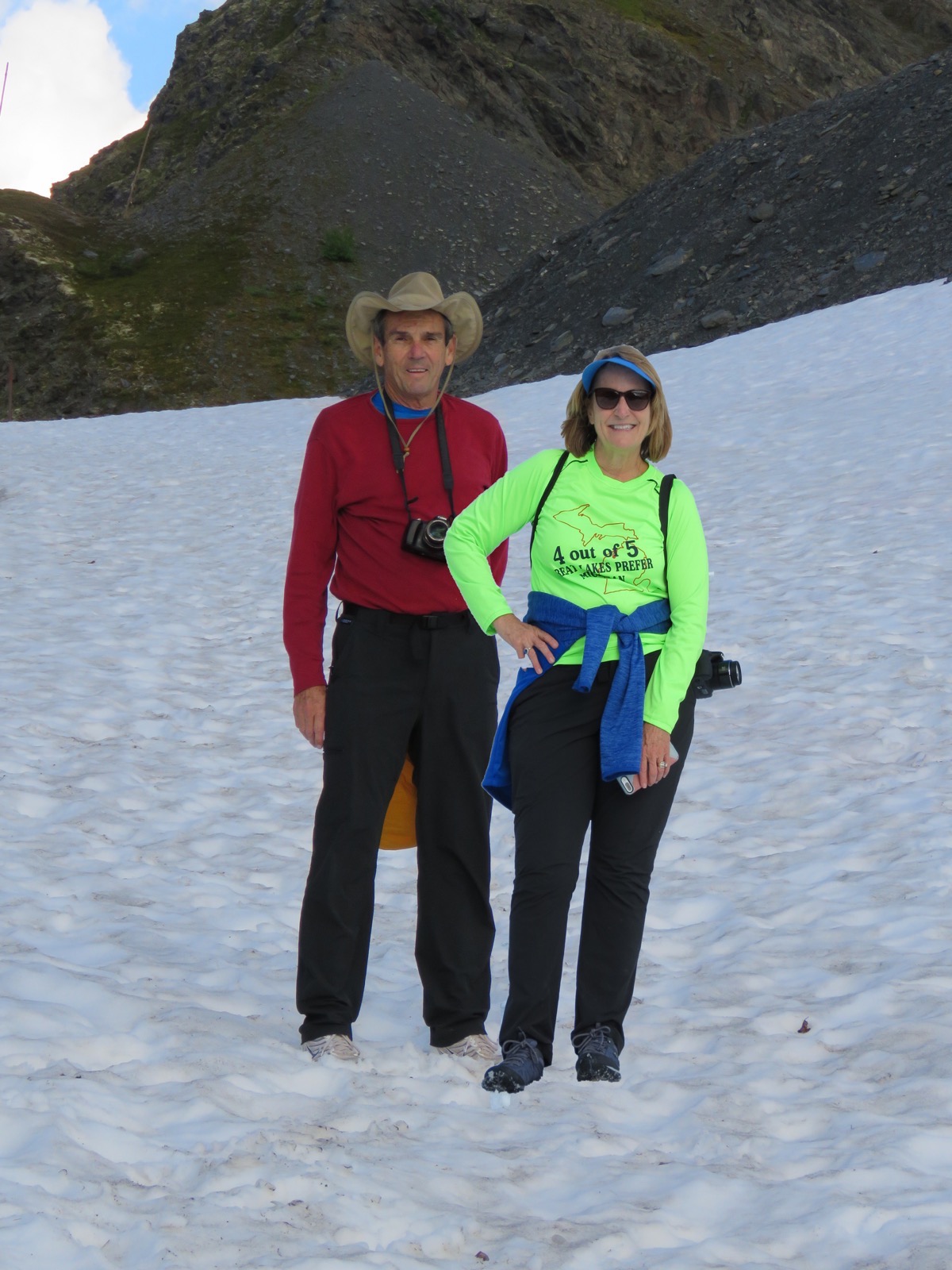
It was so cool to be standing on a glacier in the middle of the summer.
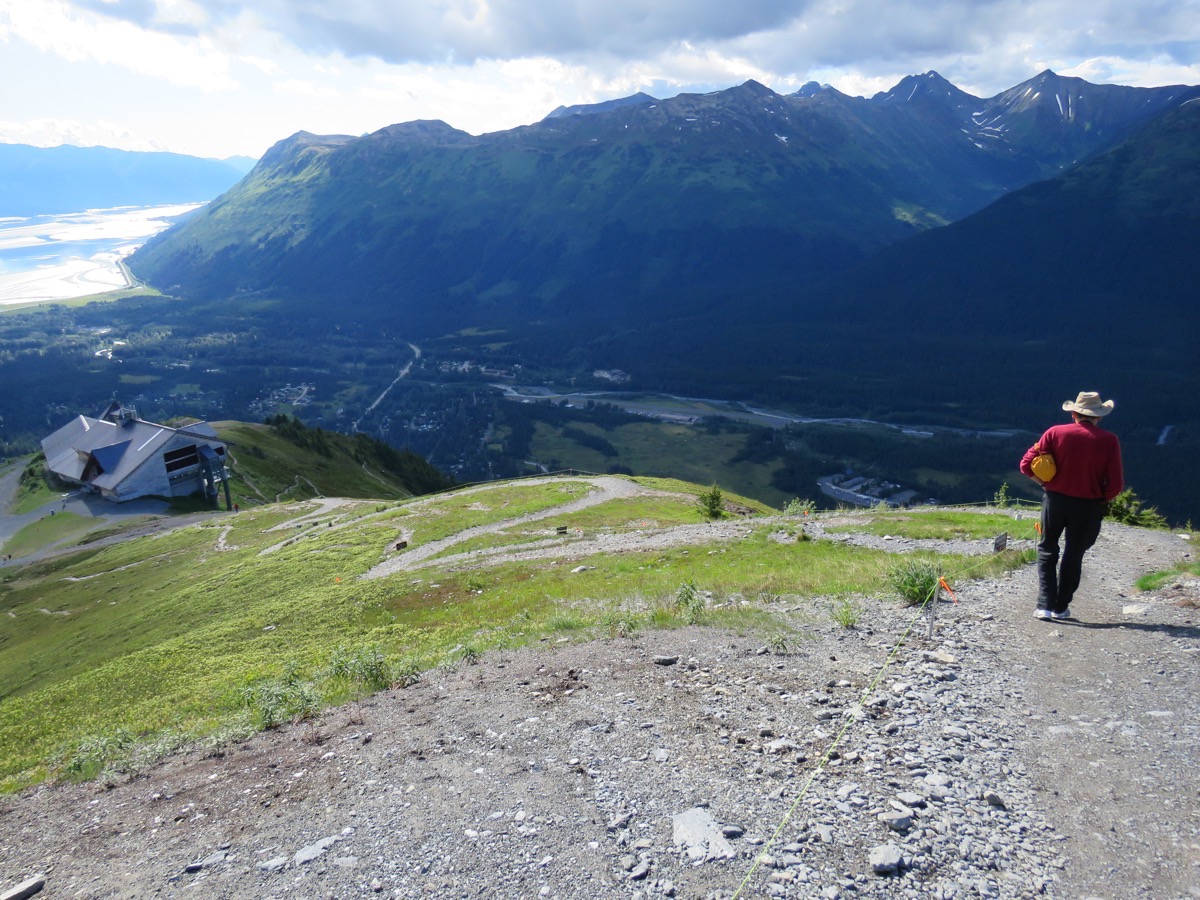
It was actually easier to hike up this trail to the glacier than it was to come back down!
Portage Valley RV Park
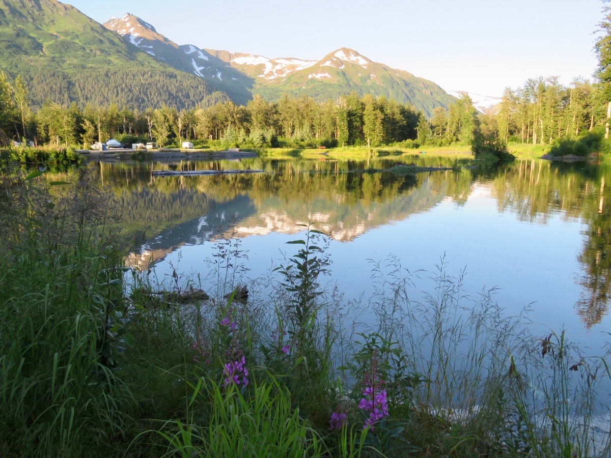
This is our view from the campground. There are rugged snow topped mountains us.
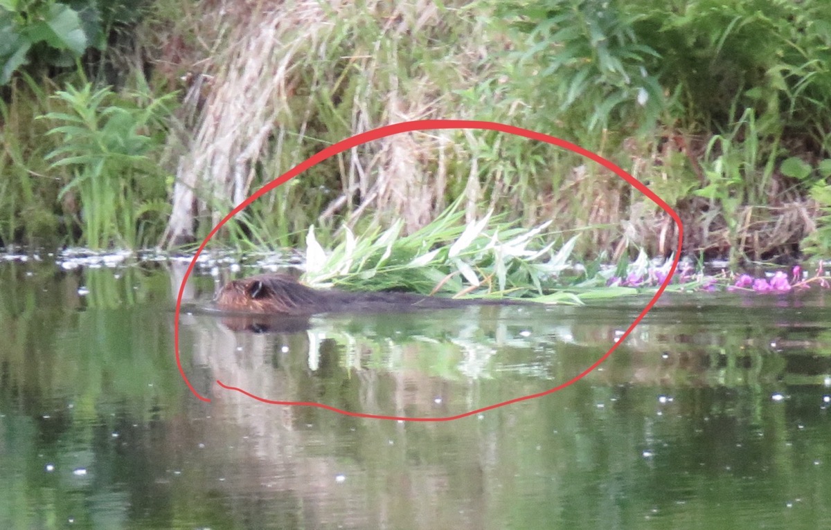
Look carefully and you will see a BEAVER pulling this plant across the lake to put in his house.
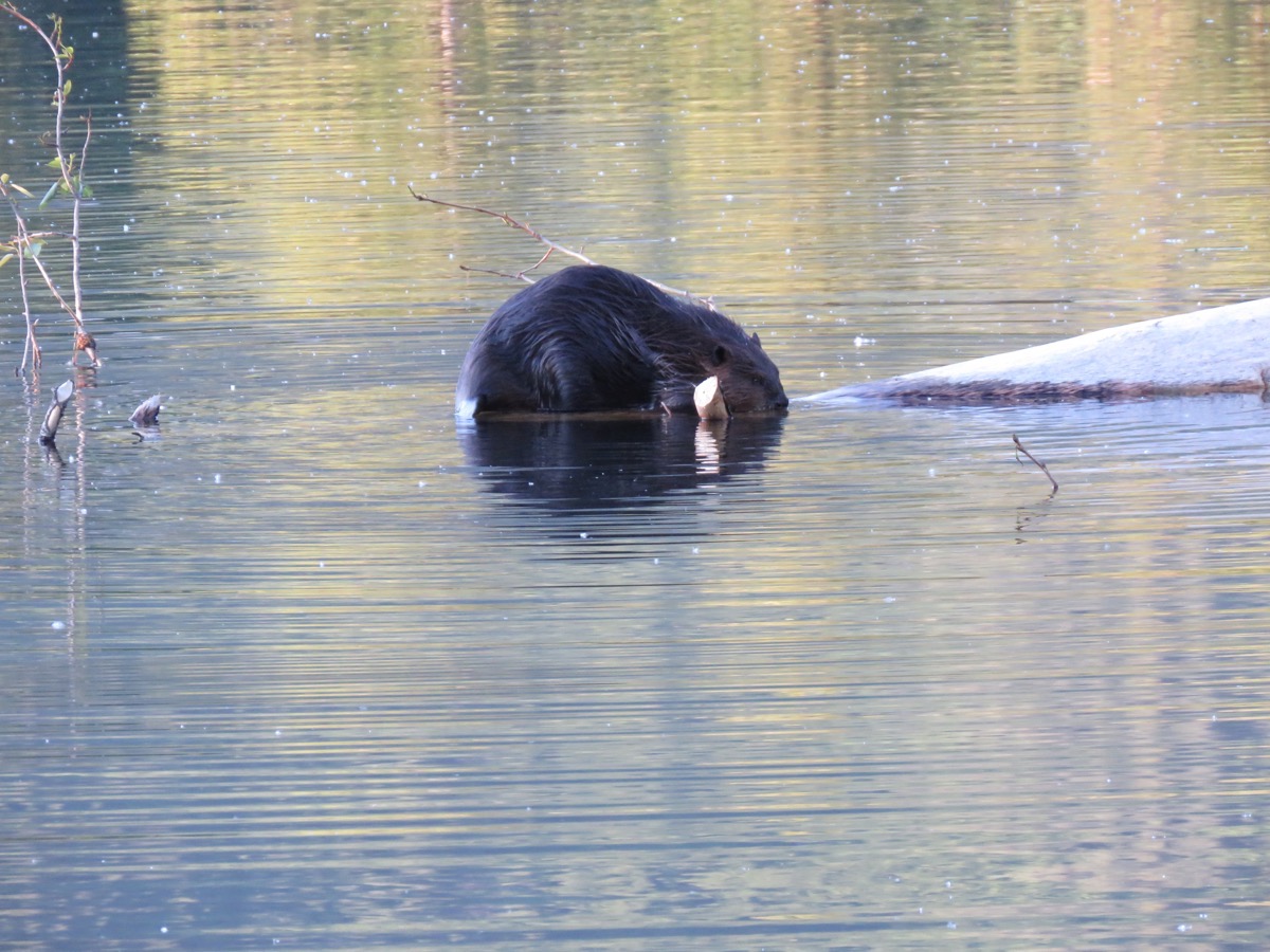
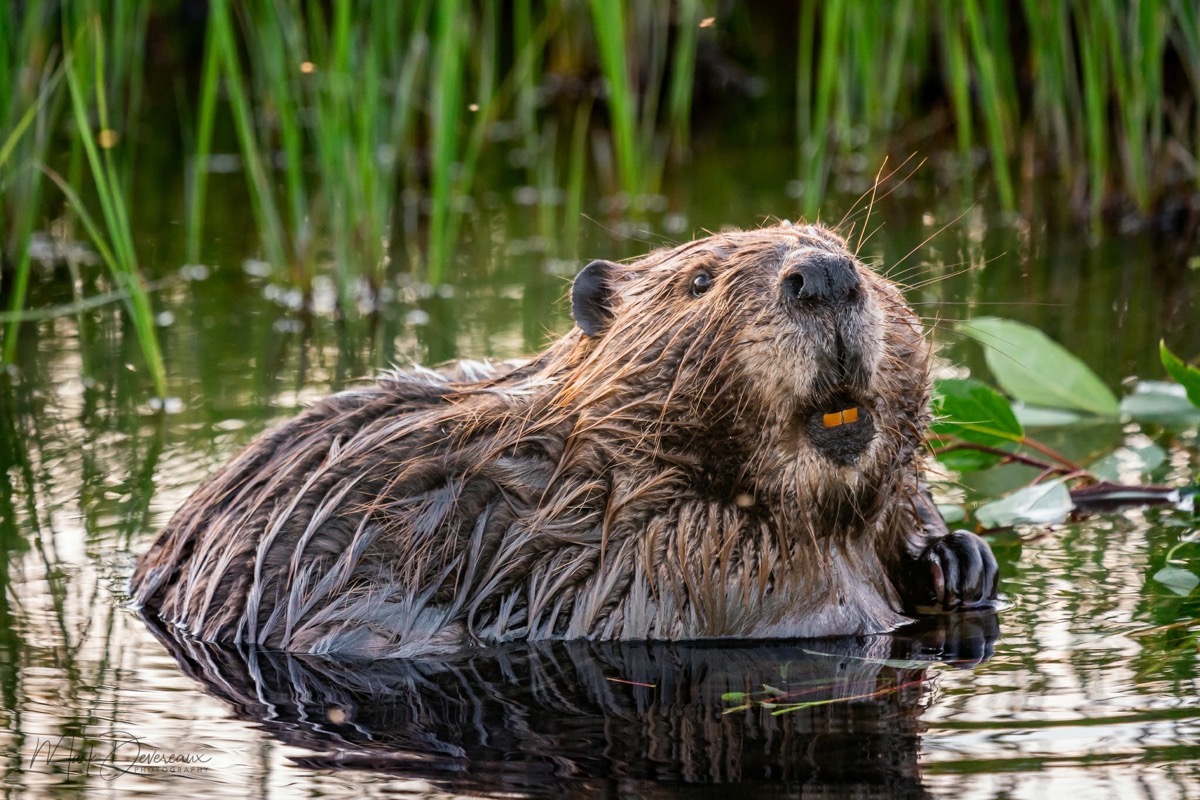
This beaver needs to go see a dental hygienist to get his teeth cleaned.
 We did a lot of walking today.
 Trip Statistics:
- We drove the RV 43 miles and drove the car 93 miles. Total combined mileage so far is 7,023 miles.
- Portage Valley RV Park is $45. Total spent on campgrounds is $1,515.35, or an average of 30.31 per night.
- Gas was $3.279 per gallon today. The total spent of gas to date is $2,405.51, or .34 per mile.
-
Day 49 - Anchorage
It was raining when we woke up this morning and continued raining all morning. It seemed like the perfect time to go to the laundrymat and wash all our clothes. By noon, the sun was out and it remained nice the rest of the day.
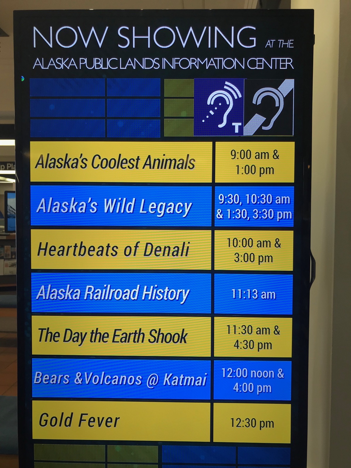
We went to the Federal building across from the Visitor’s Center and watch some excellent movies: Alaska’s Coolest Animals, Alaska’s Wild Legacy, The Day the Earth Shook, Gold Fever
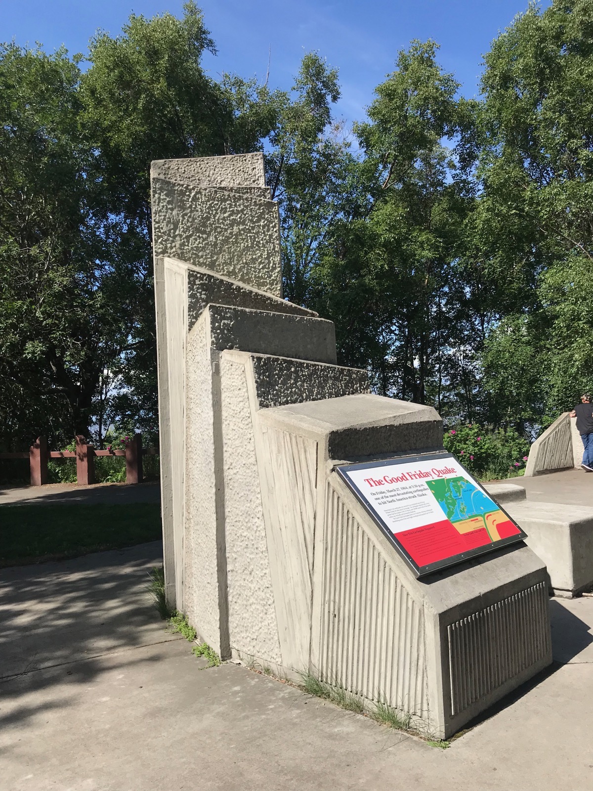
 Afterwards, we went back to Earthquake Park and walked the trail.
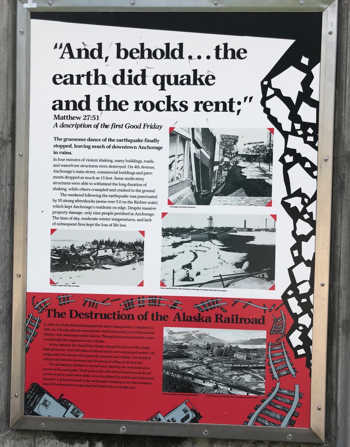
Tom read about a chocolate factory called the Alaska Wild Berry Products, so of course, we drove over there to check it out.
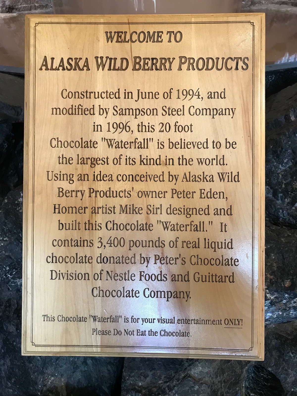
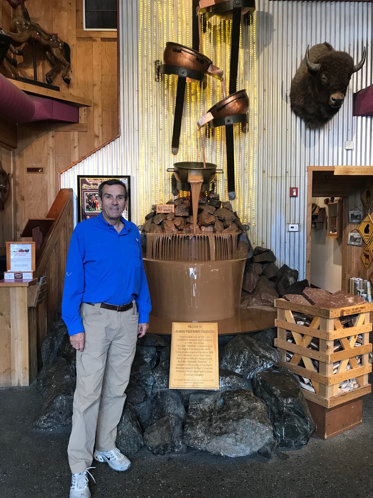
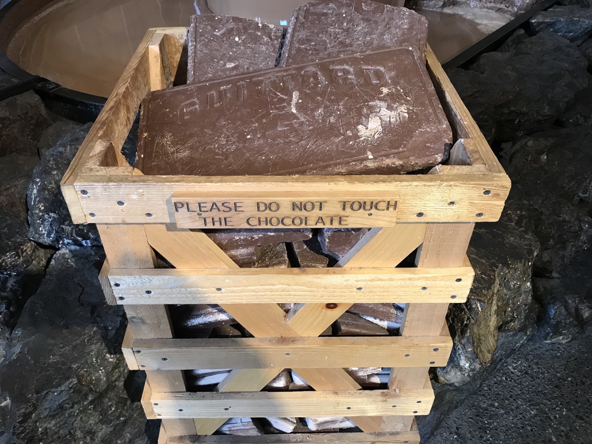
Before we left we had a few yummy samples. I also had a slice of chocolate covered bacon and some peanut butter fudge. Tom had ice cream and and some dark chocolate candies.
-
Day 48 - Anchorage
We drove from Trapper Creek to Anchorage on Sunday. After parking the motorhome, I drove to Best Buy and bought a new camera while Tom tried laying down in hopes of resting his back which is killing him.
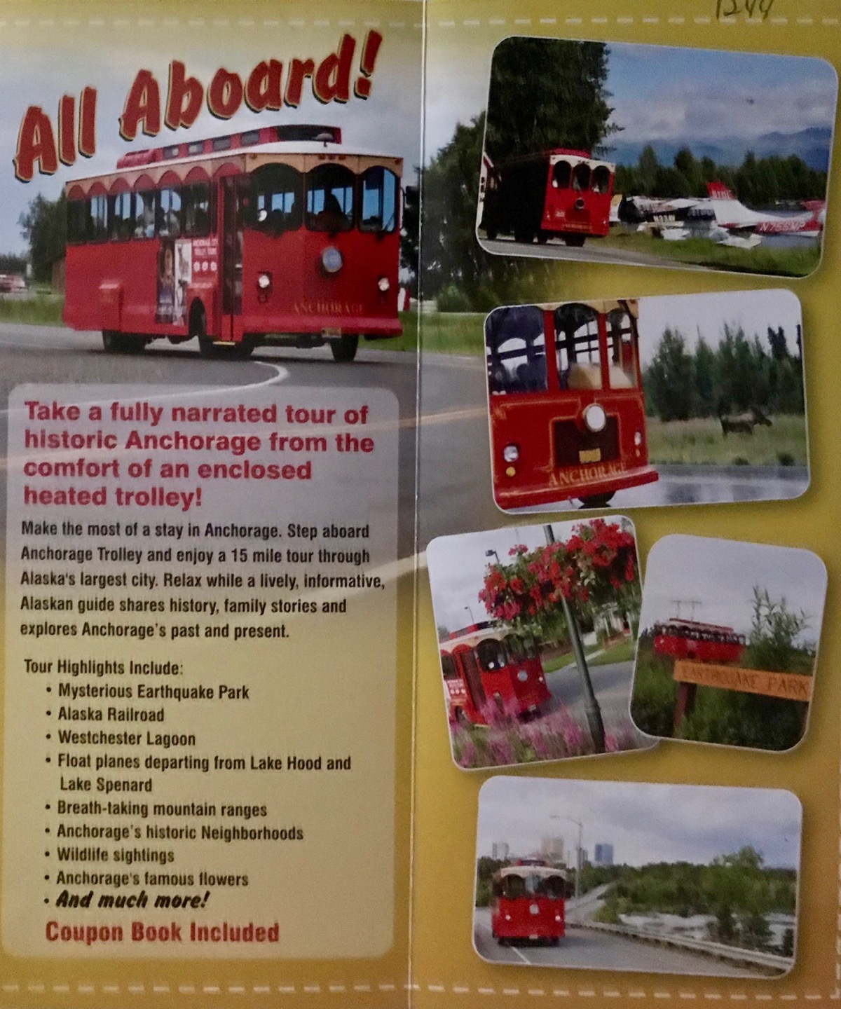
At 4:00 we drove downtown and bought tickets for the Historic Trolley Tour which we really enjoyed.
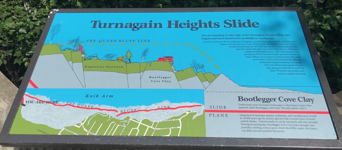
We stopped at Earthquake Park where we learned about the 1964 Alaskan earthquake that took place on Good Friday, March 27. It lasted four minutes and thirty eight seconds and was the strongest ever reported in North American history and the second most powerful ever recored in the world.
A fault between the Pacific and North American plates ruptured near College Fjord in Prince William Sound. Tsunami waves were noted in over 20 countries, including: Peru, New Zealand, Papua New Guinea, Japan, Mexico and Antarctica. The largest tsunami wave was recorded in Shoup Bay, Alaska, with a height of about 220 ft. 139 people died, nine of whom were in Anchorage ,
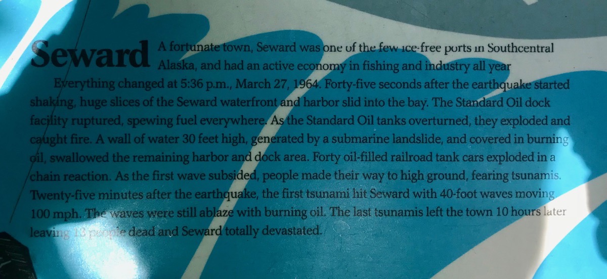
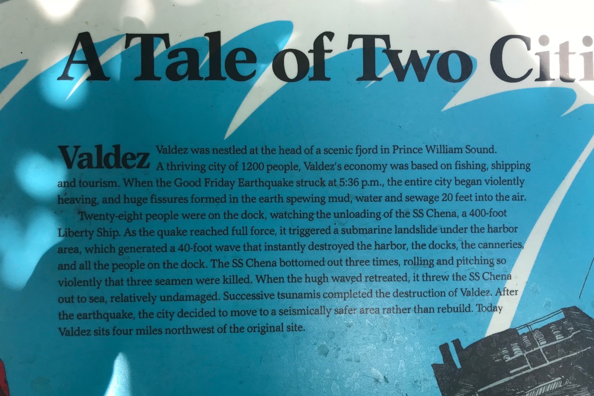
Later in the week we will be going to Prince Edward Sound which was the epicenter of the earthquake.
We saw an Alaskan Railroad Moose Gooser that used to go ahead of the trains to bump the moose off the tracks. A 10 year average of 270 moose per year are killed by cars and trains .
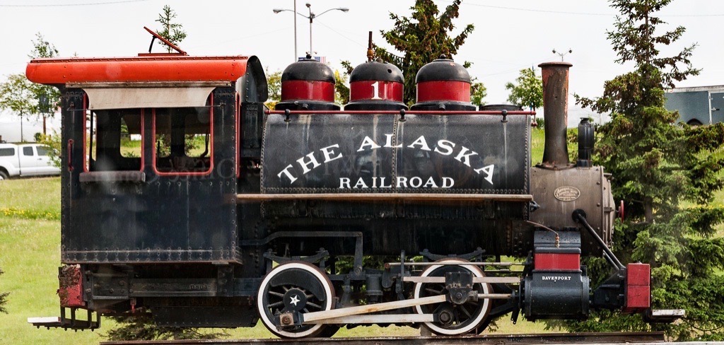
Moose Gooser
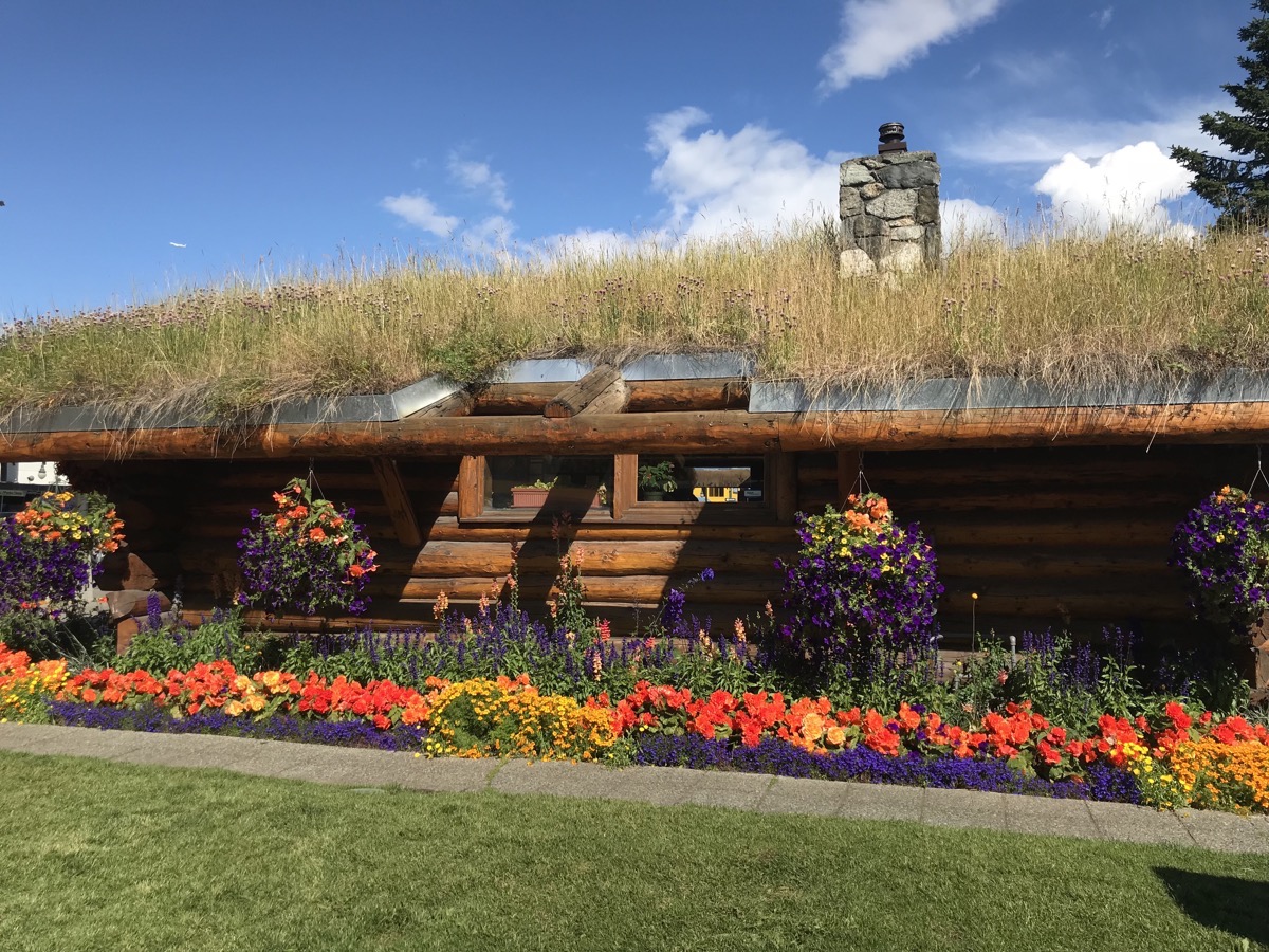
Anchorage Visitor’s Center
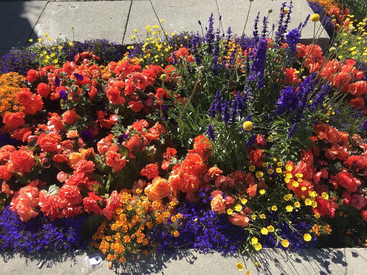
The flowers in Anchorage are beautiful!
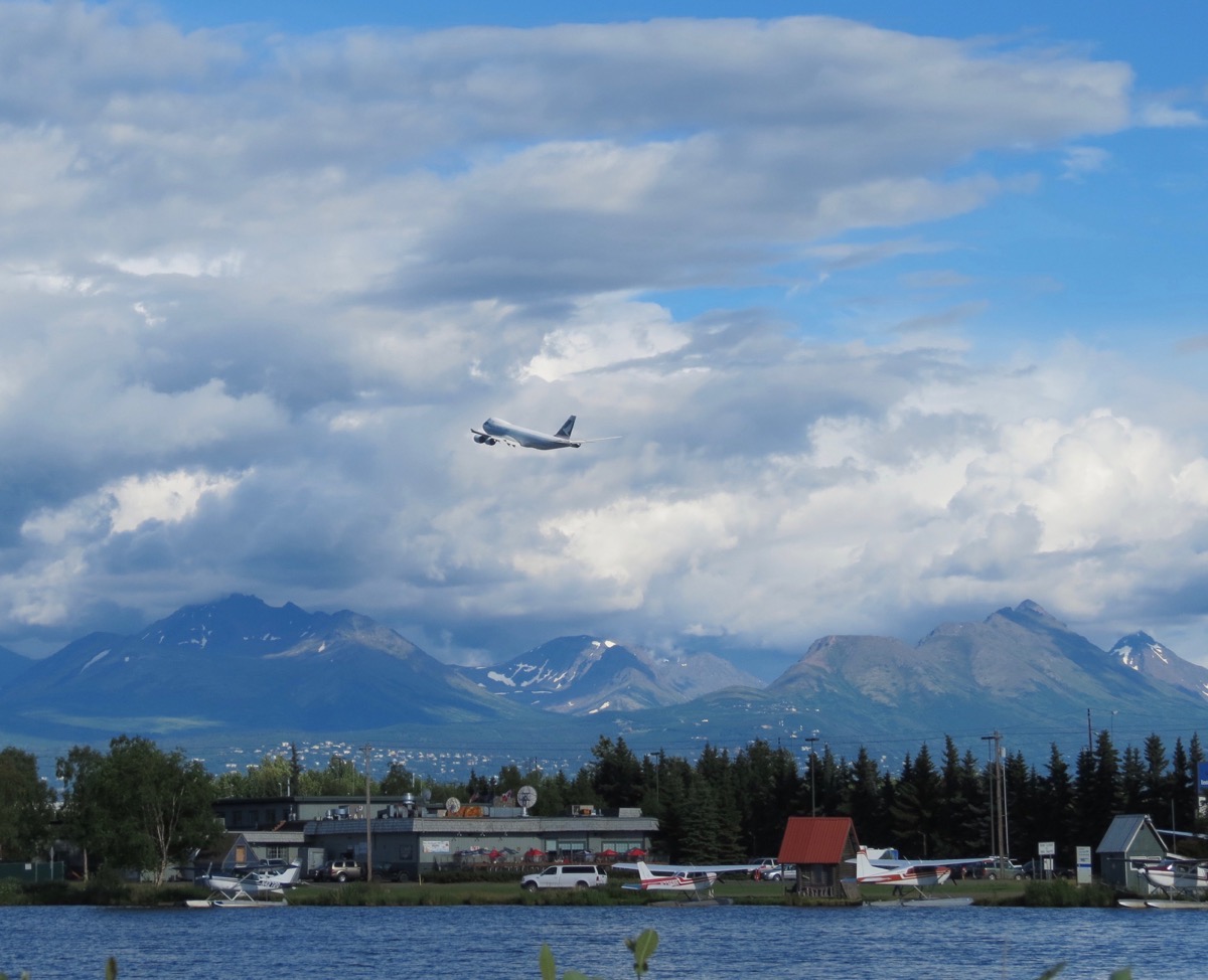
Even though it wasn’t a clear day, we still enjoyed the beautiful mountain vistas.
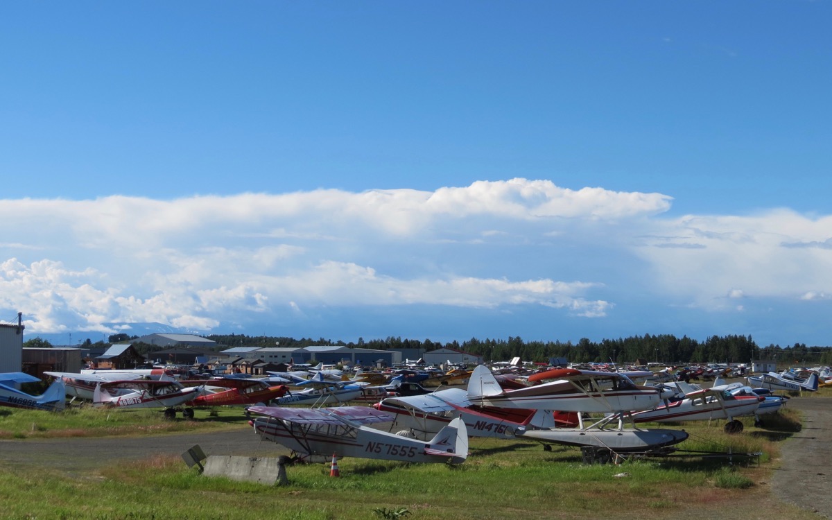
“Aviation touches all aspects of life in Alaska, and is a basic mode of transportation because approximately 90% of Alaska is not served by roads. Alaska has six times as many pilots per capita and 16 times as many aircraft per capita when compared to the rest of the United States. In the state of Alaska, there are fewer than 12,000 miles of paved roads. Aviation is not only the state pastime; it is the state’s major form of transportation.” (The Ninety-Nines, Inc)
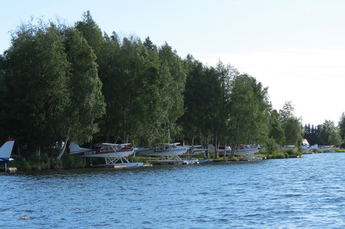
These float plane parking spots beside the Anchorage airport are handed down in families for generations.
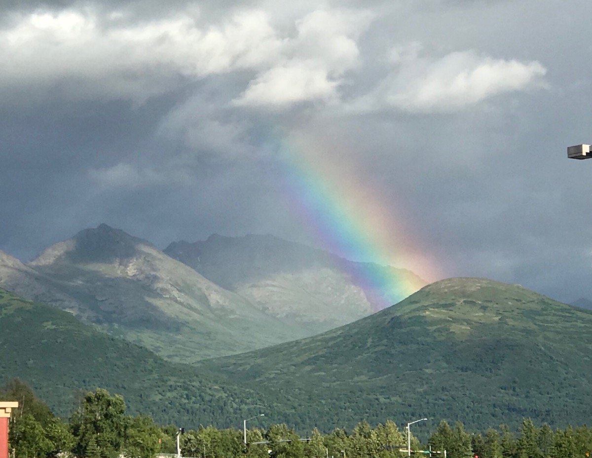
Trip Statistics
- We drove the motorhome 113 miles and the car 37 miles for a total trip mileage of 6,853 miles.
- We are staying at the Golden Nugget RV Park in Anchorage (and it’s not even a casino) for $45. Our average cost is now $29.19 per night.
-
Day 47 - Trapper Creek
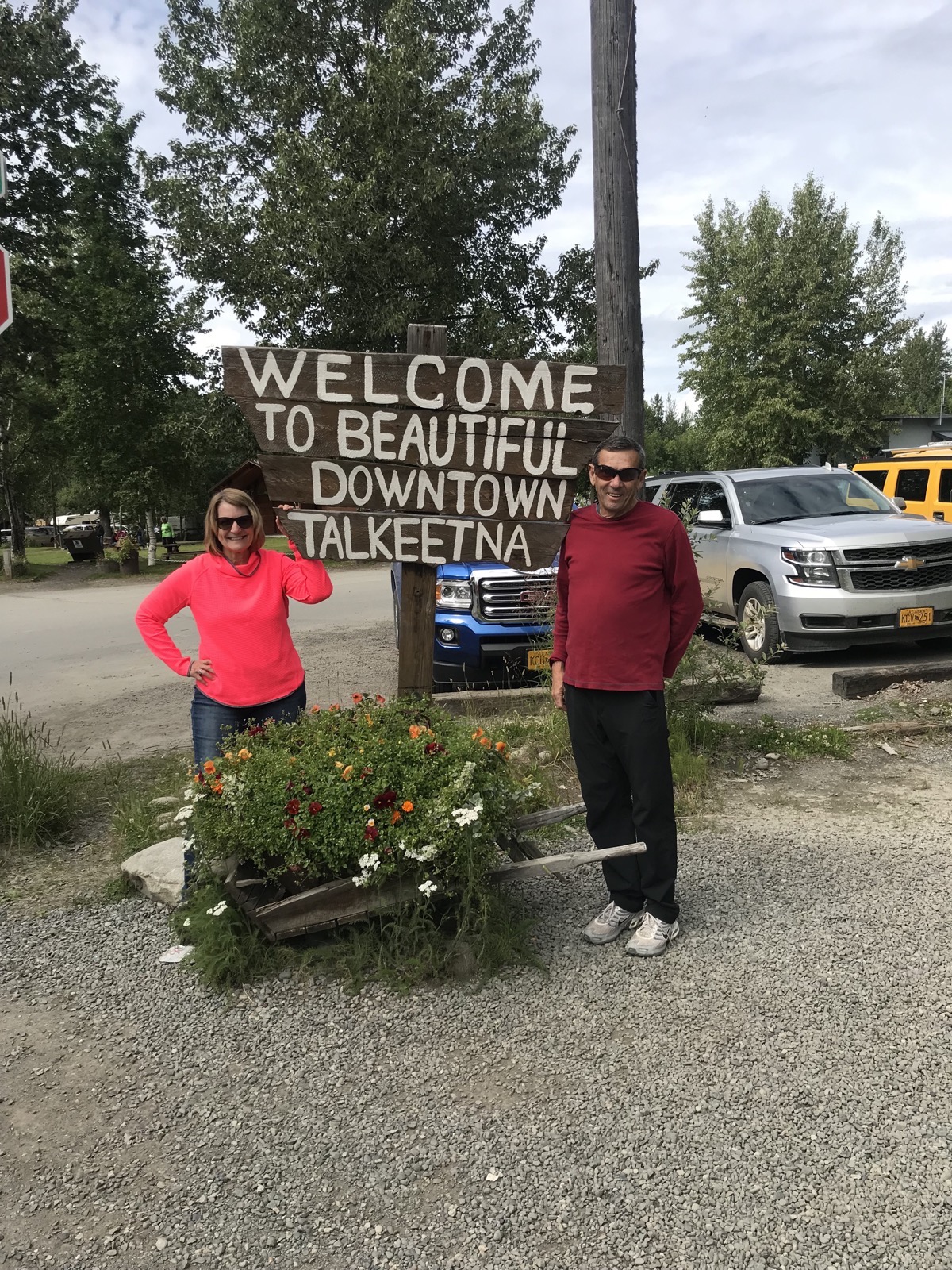
We left Denali this morning and drove to Trapper Creek. We parked the motorhome and drove the car to Talkeetna. We were supposed to take a flight over Denali National Park and fly around Mt. Denali and then land on a glacier and walk around. But it was a cloudy day, so we didn’t get to do it. Actually, the sky looked nice in Talkeetna, but we were told it was clouded over in Denali. Instead, we walked around the town with a population of 876. It was us and at least eight huge tour buses bringing tourists to do what we had planned or to raft, mountain bike or take fishing expeditions.
"Talkeetna began in 1916 when the area was chosen as a district headquarters for the Alaska Railroad. A post office opened as well as a sawmill, trading post, cigar and donkey store and other businesses as well as many cabins. In 1917, the residents encouraged the government to survey the lots on which their homes stood. In 1919, the railroad surveyed and auctioned eighty lots, 41 of which already had permanent structures on them. The average price at the sale was $14.25. Talkeetna is a 2½-hour drive from Anchorage"
I had a delicious pizza at Mountain High Pizza pie - Reindeer gyro sliced, reindeer sausage and onions with a marina sauce and cheese which was delicious. Tom snapped a picture of the little creature below made from pizza dough. He’s not on the menu; just something the cook creates when he’s bored.
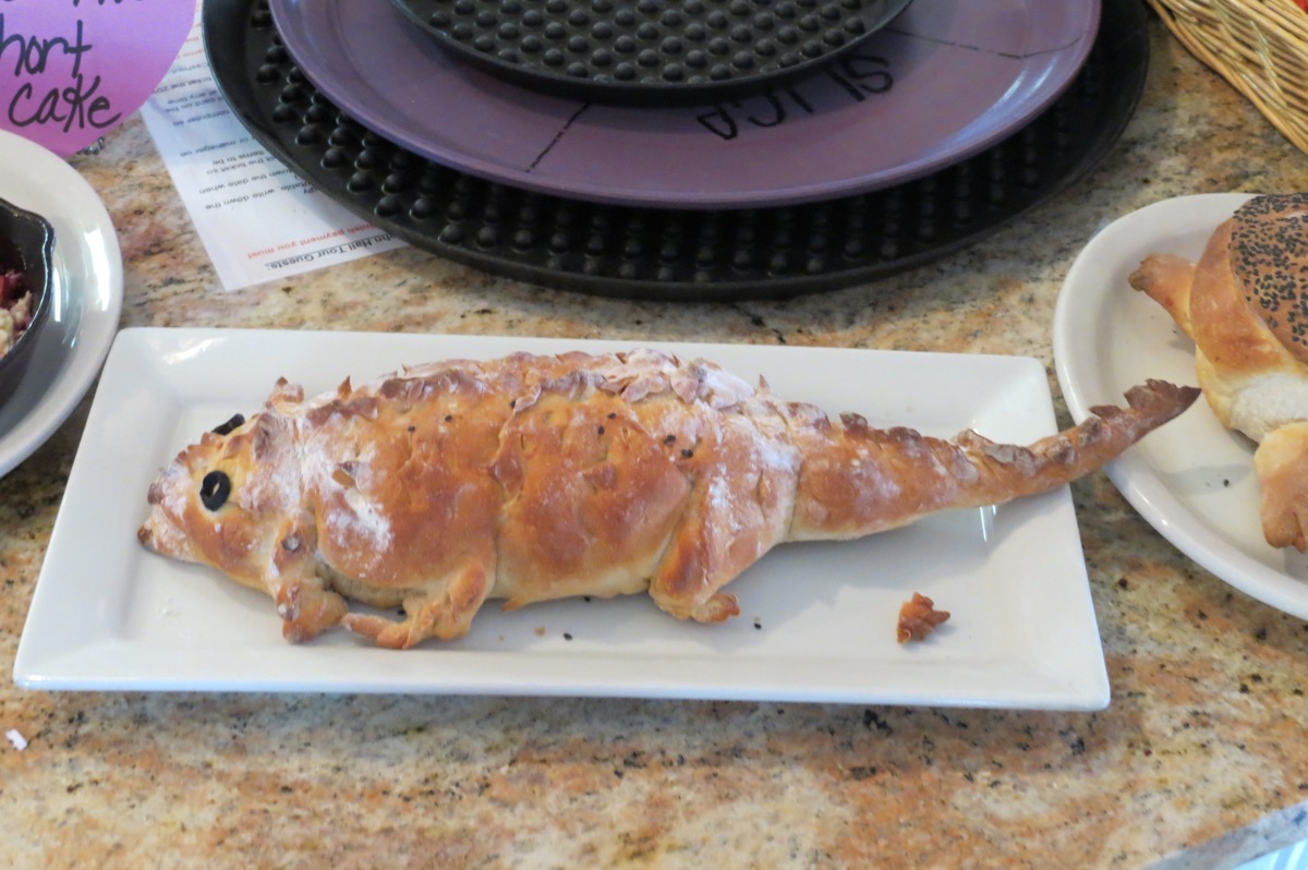
Trip Statistics:
- Trapper Creek RV Park - $31.50. Our total so far is $1,380.35 with an average of $29.37 a night.
- We bought gas today at $3.81 a gallon. Total gas so far is $2,255.85
- We drove 121 miles in the motorhome and 56 in the car, for a total so far of 6,703 miles.
- Sunrise was 4:39AM and sunset will be 11:32PM
-
Day 46 - Denali Day 3
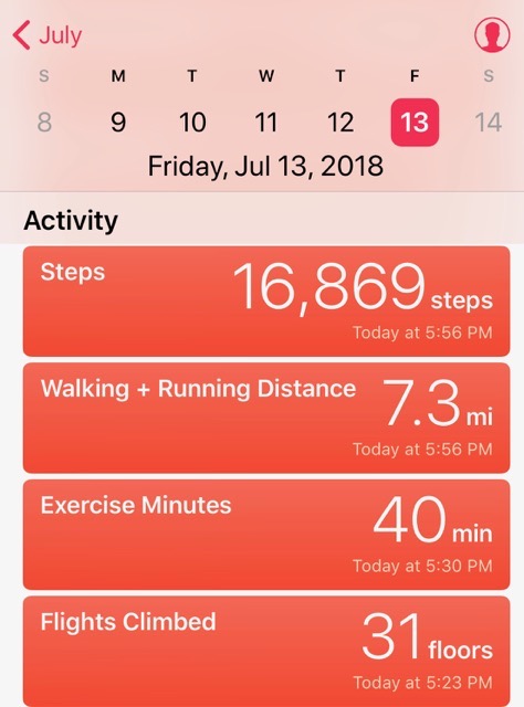
Today was an absolutely amazing day in Denali! We hiked three different trails that were beautiful and saw a female moose with her calf in a lake, a beaver dam and a beaver swimming and some gorgeous sites. Plus, it was a gorgeous day and we hiked 7.3 miles!!
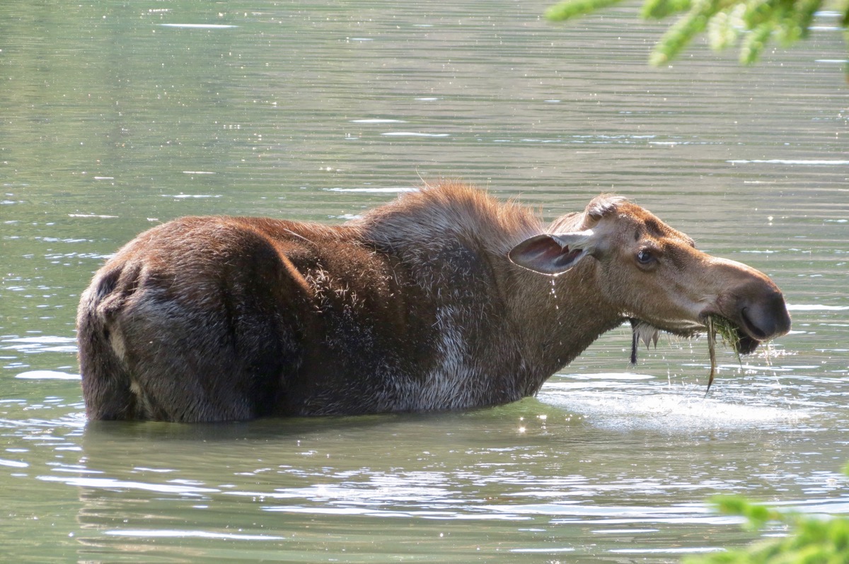
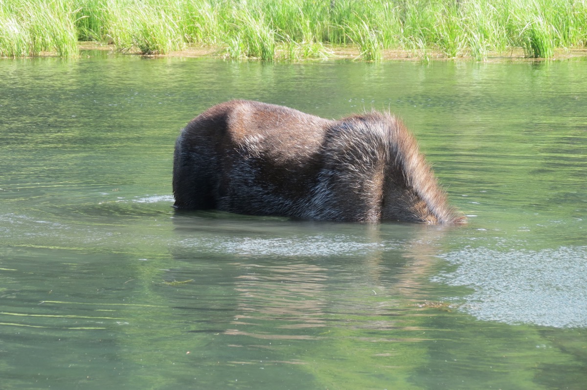
Moose eat from the bottom of ponds.
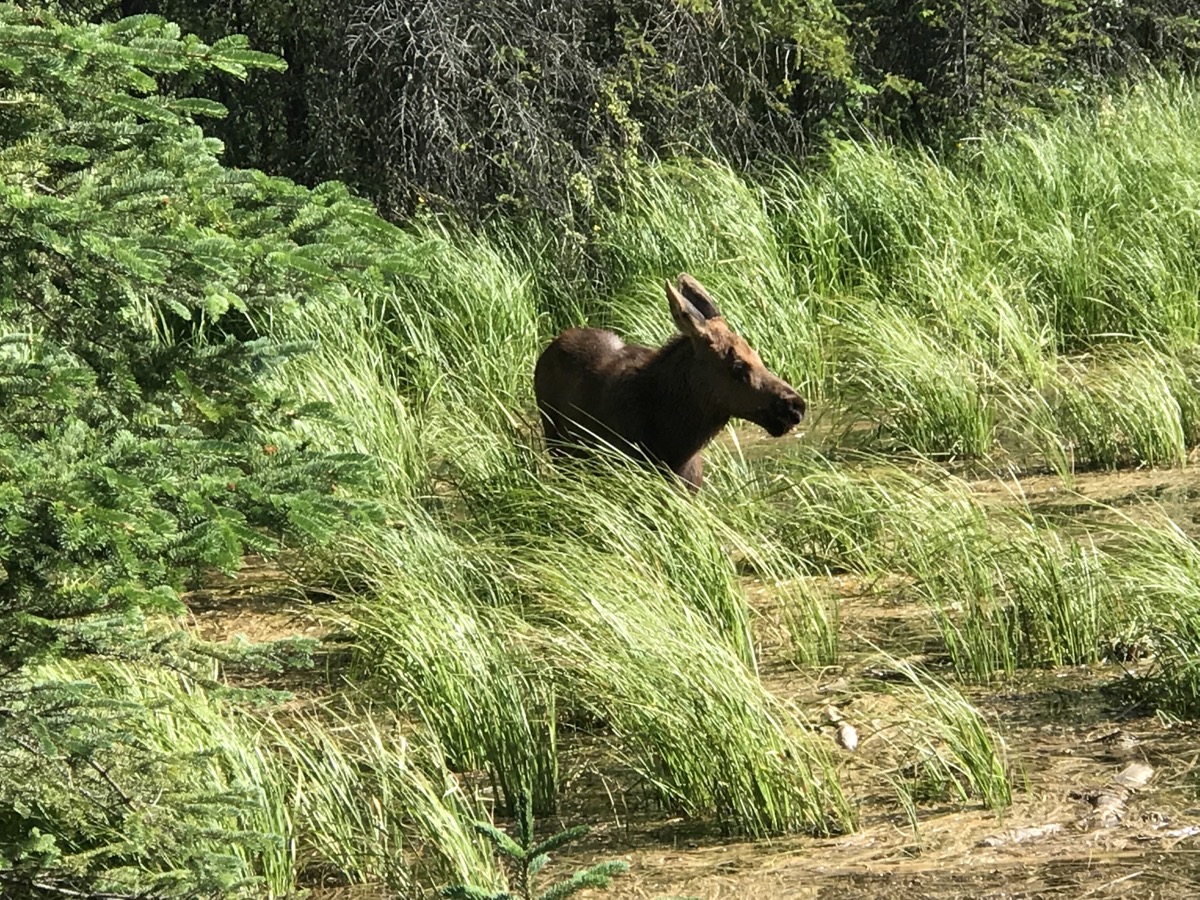
(moose) calf
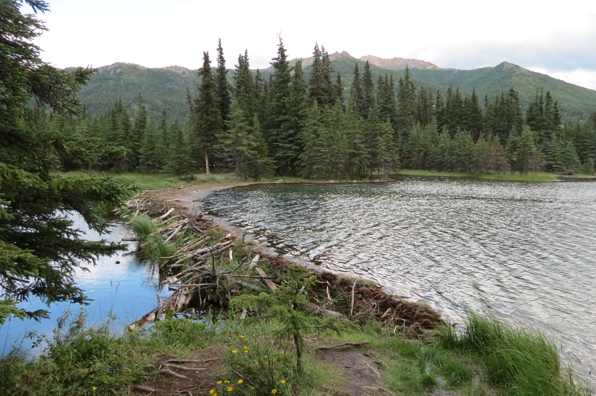
impressive beaver dam
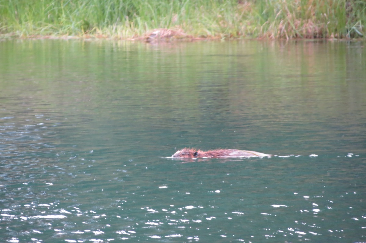
A beaver swimming in the lake. Interesting fact: the beavers spend the summer here cutting down trees and burying all the branches at the bottom of the lake below their dam. In the winter the lake is frozen solid and they have no way to get out, so they feed off the wood they buried at the bottom.
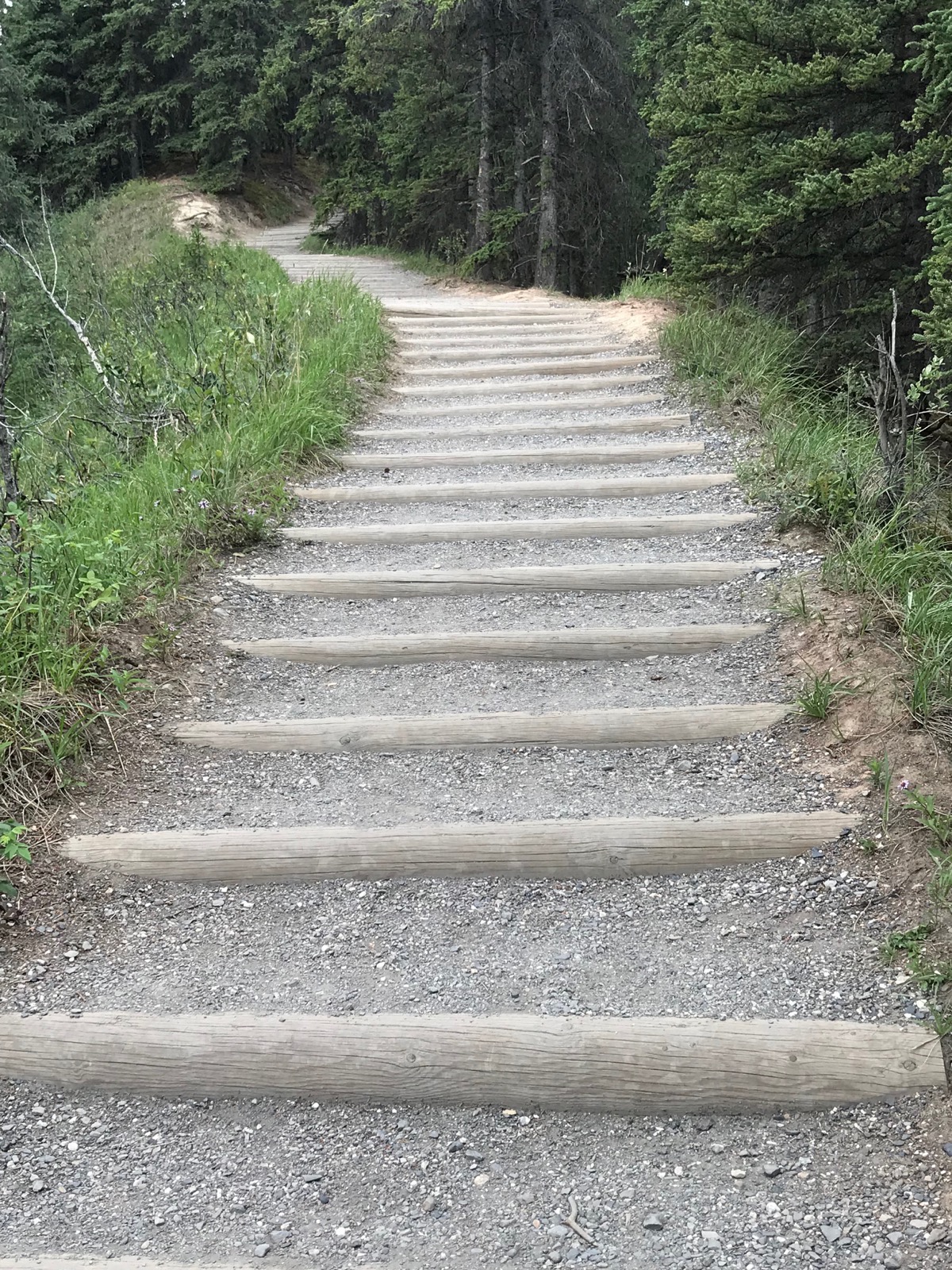
We hiked hundreds of steps to climb back up after hiking around the lake on the Horseshoe Lake Trail (of course we walked down them to start the hike!)
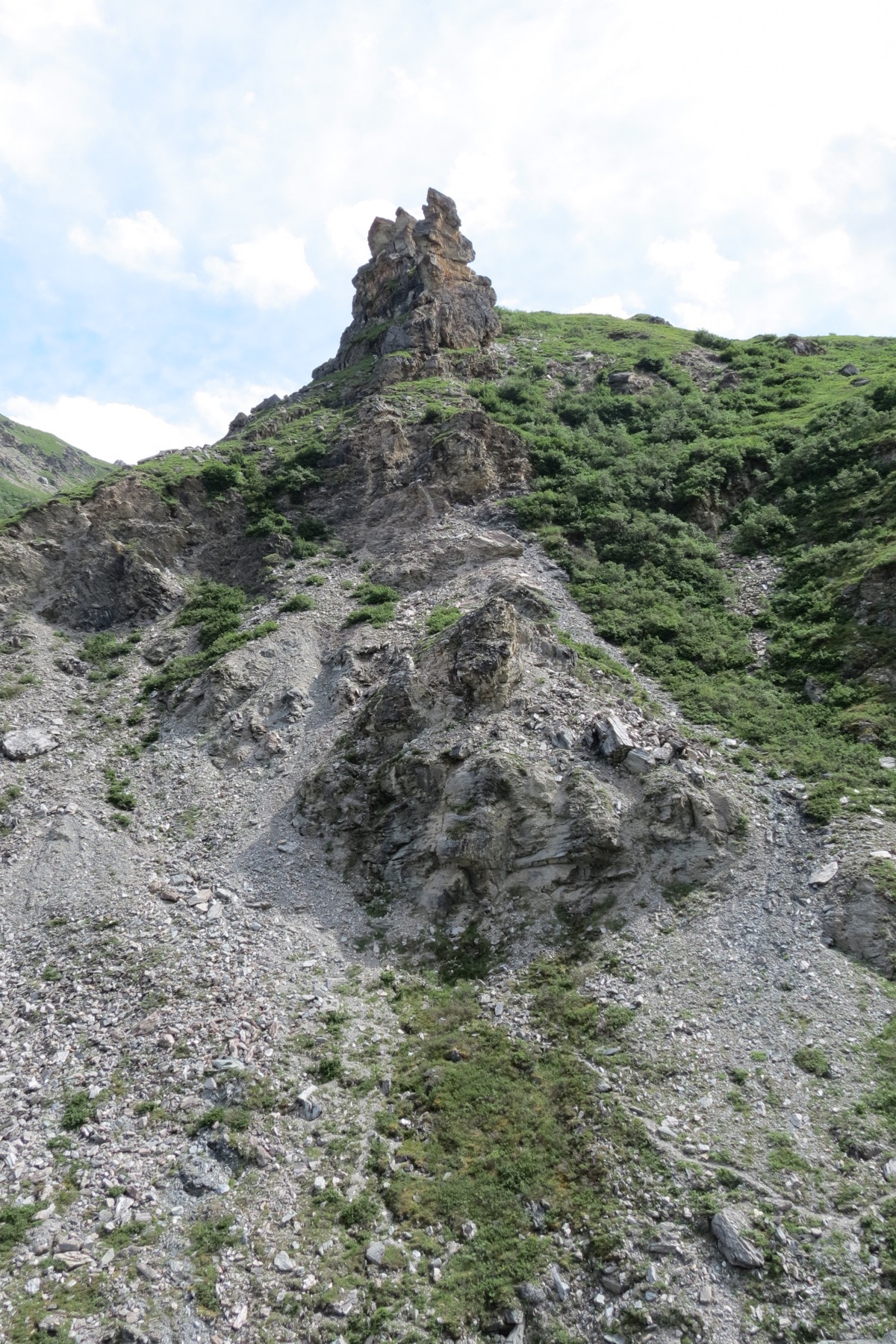
Here’s where we started our hike on the Savage Alpine Trail
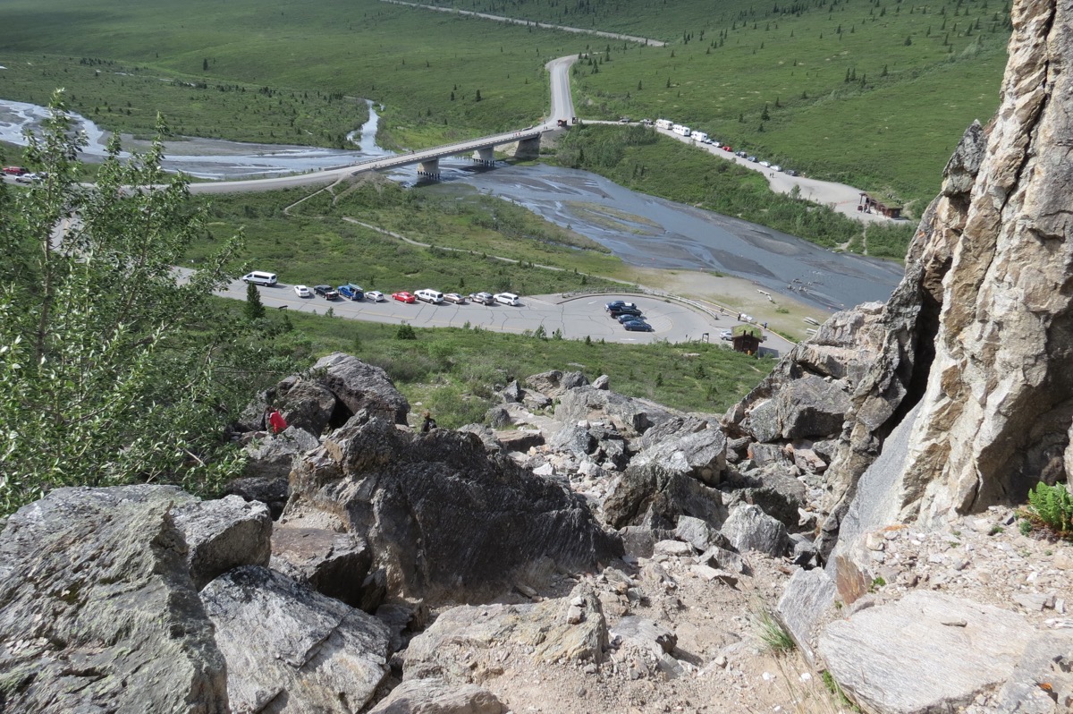
Looking down on the parking lot from the Savage Alpine Trail
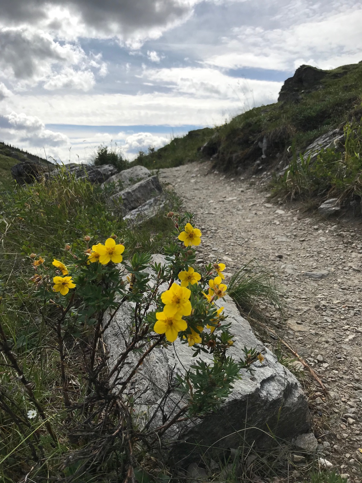
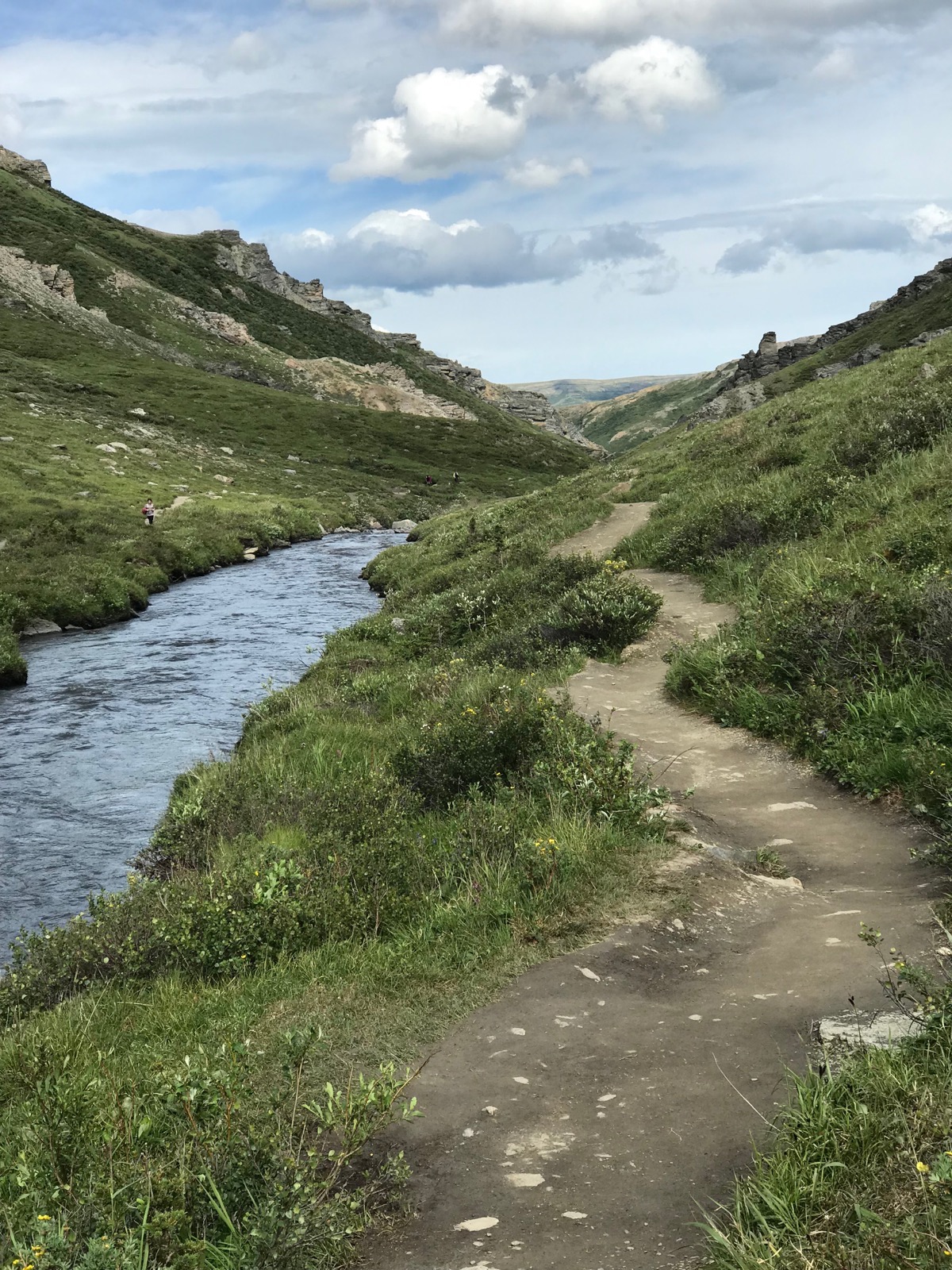
Path on the Savage River Loop
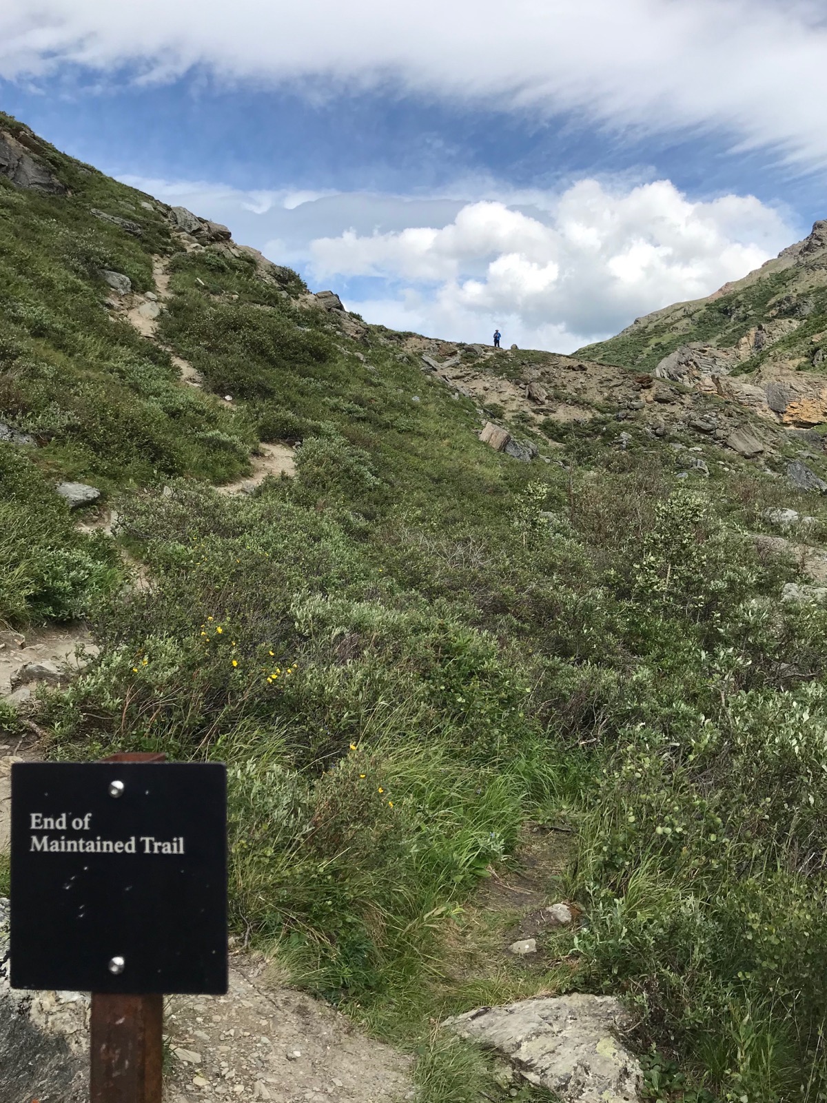
Tom is that speck on top of the hill.
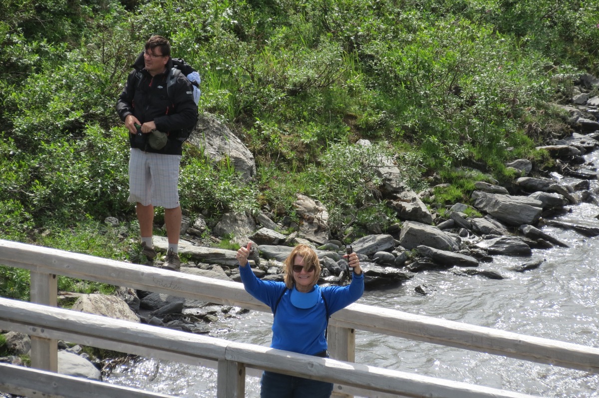
This is me from the bottom of the hill.
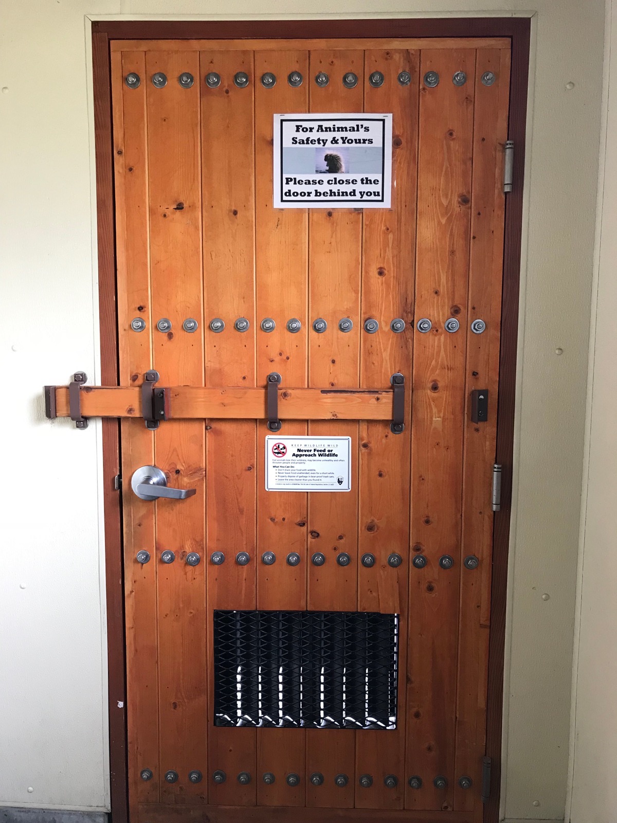
This is the INSIDE of a bathroom door. Heavily reenforced to keep the bears out!
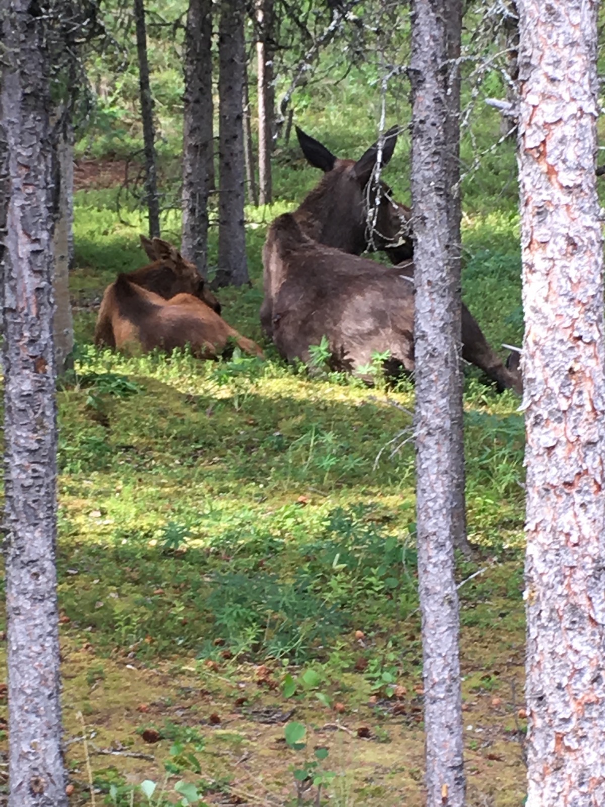
Look who came to dinner! This cow and calf moose were right outside our camper door for HOURS!
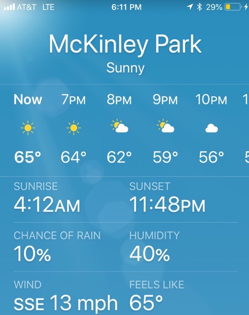
-
Day 45 - Denali National Park
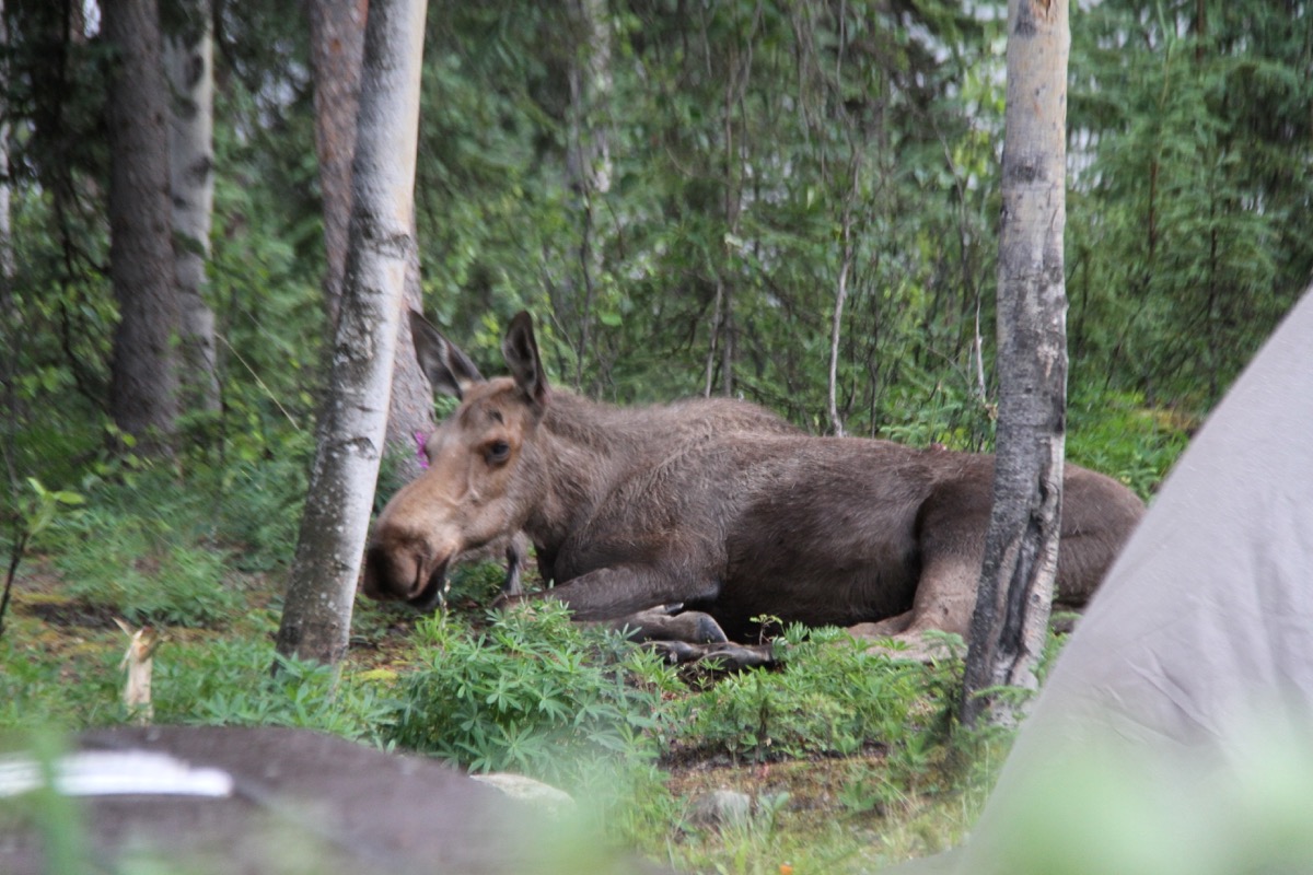
We are staying at the Riley Creek Campground inside Denali National Park and we had a guest in our campground right beside someone’s tent! Moose can be extremely aggressive behind this docile looking exterior and we are warned to stay at least 300 feet away from them. We saw a video in Yellowstone of a moose charging a car in a parking lot.
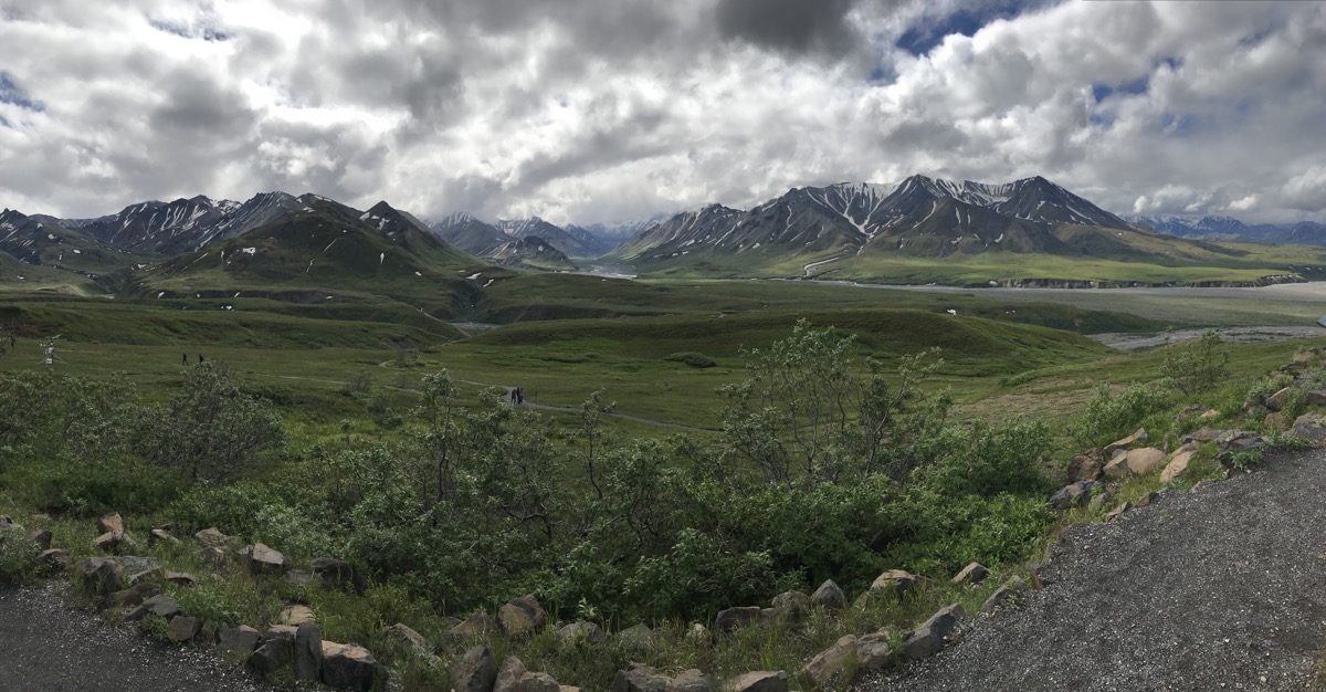
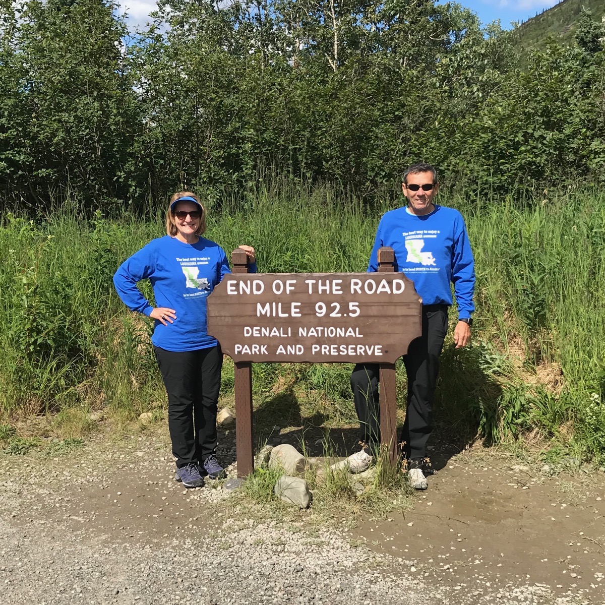
This morning at 7:45 we boarded the Denali Park Service’s Kantishna Transit Bus to ride as far as we could into Denali. It’s a 12 hour trip with stops at Teklanika River (mile 30), Toklat River (mile 53), Eielson Visitor Center (mile 66), Wonder Lake (Mile 85) and Kantisha (mile 92). Although the scenery was magnificent and we saw some wild animals, we would recommend only going as for as the Eielson Visitor’s Center. It’s only an 8 hour round trip ride and that would have been enough for us. Our driver Tim was very knowledgeable and an excellent guide, but it was a long day.
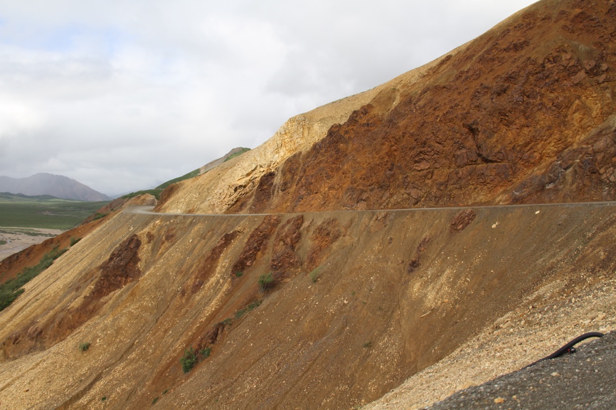
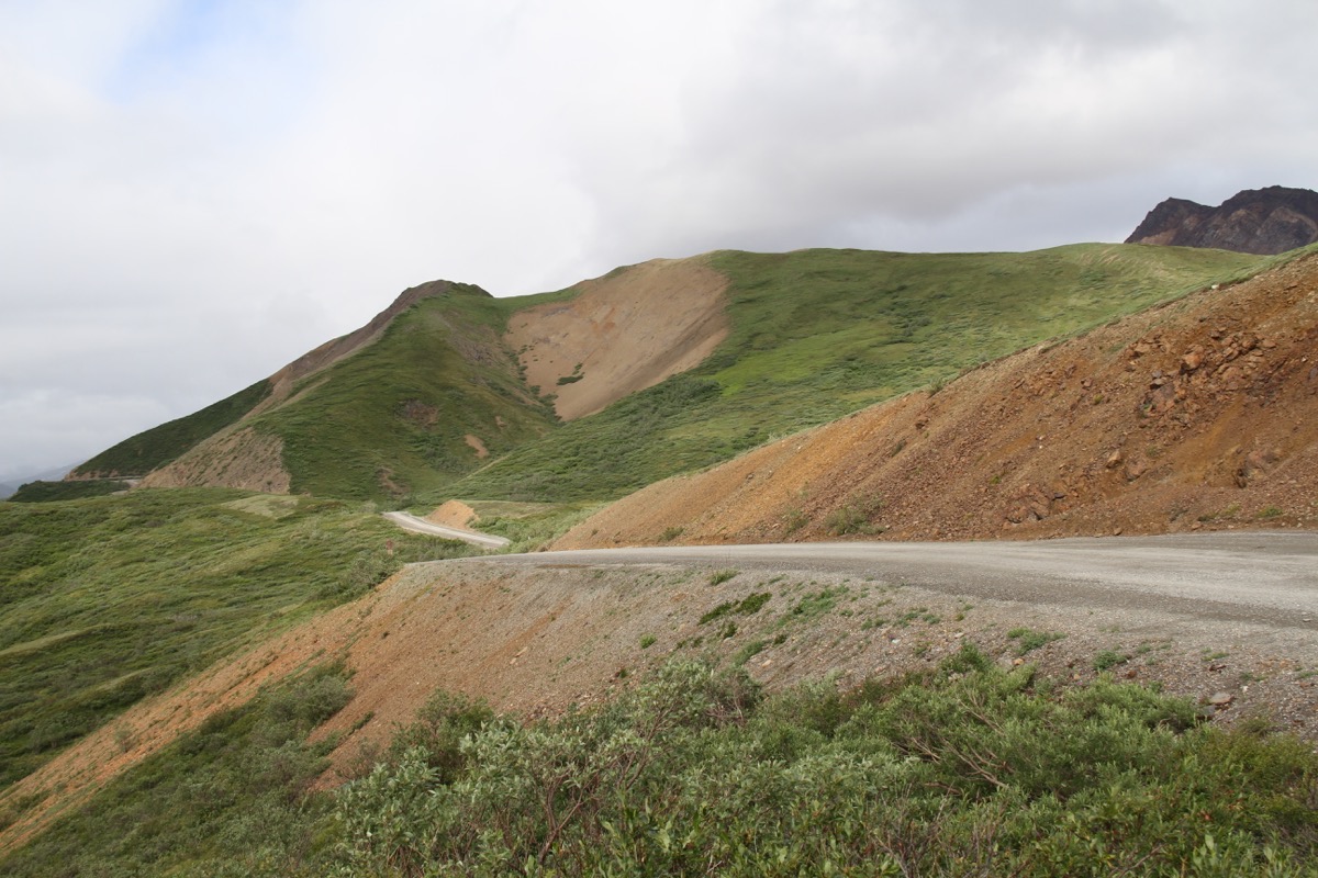
The road was narrow, unpaved, steep and curvy with no shoulders in many places.
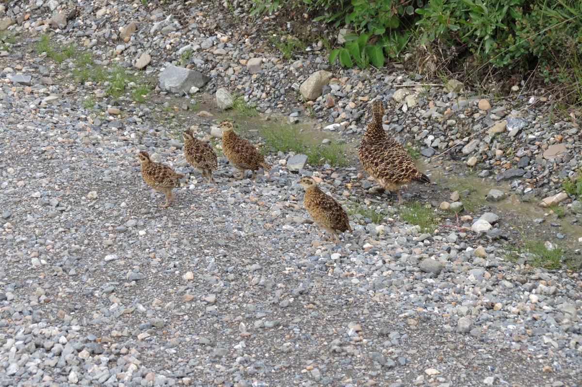
These are ptarmigan, the state bird of Alaska
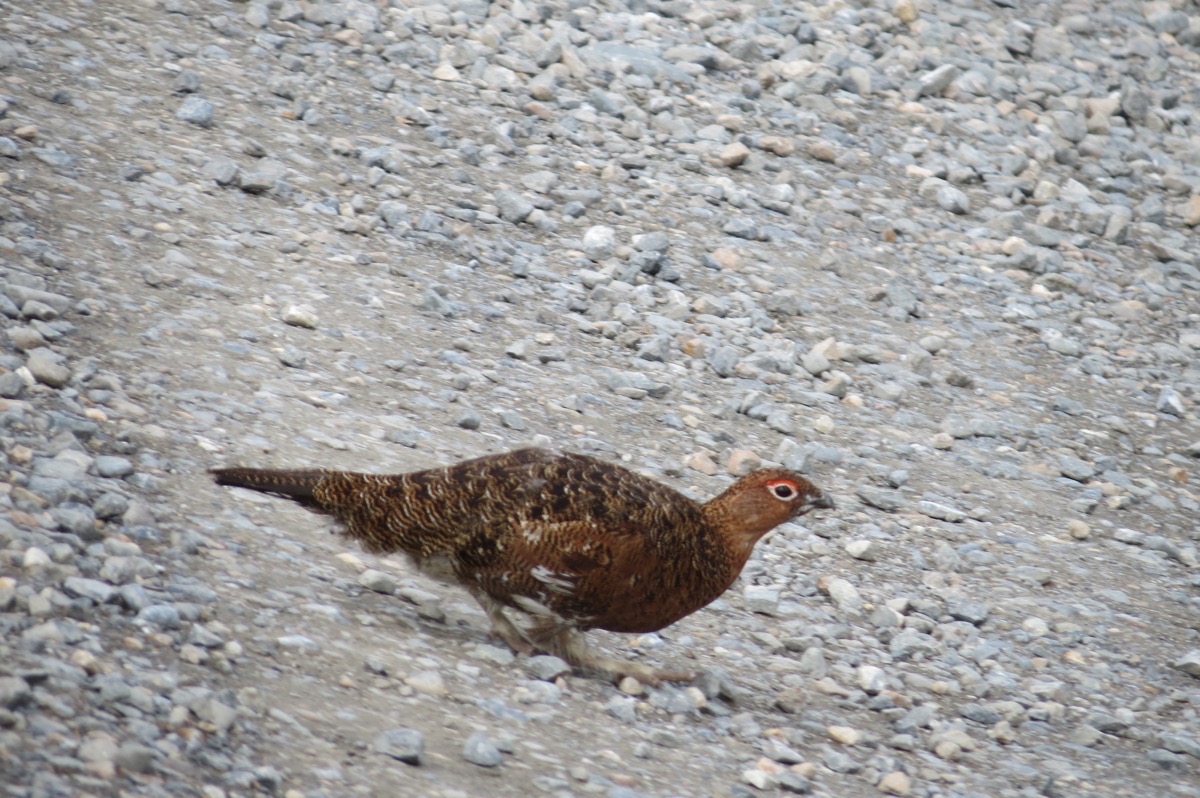
Male Ptarmigan
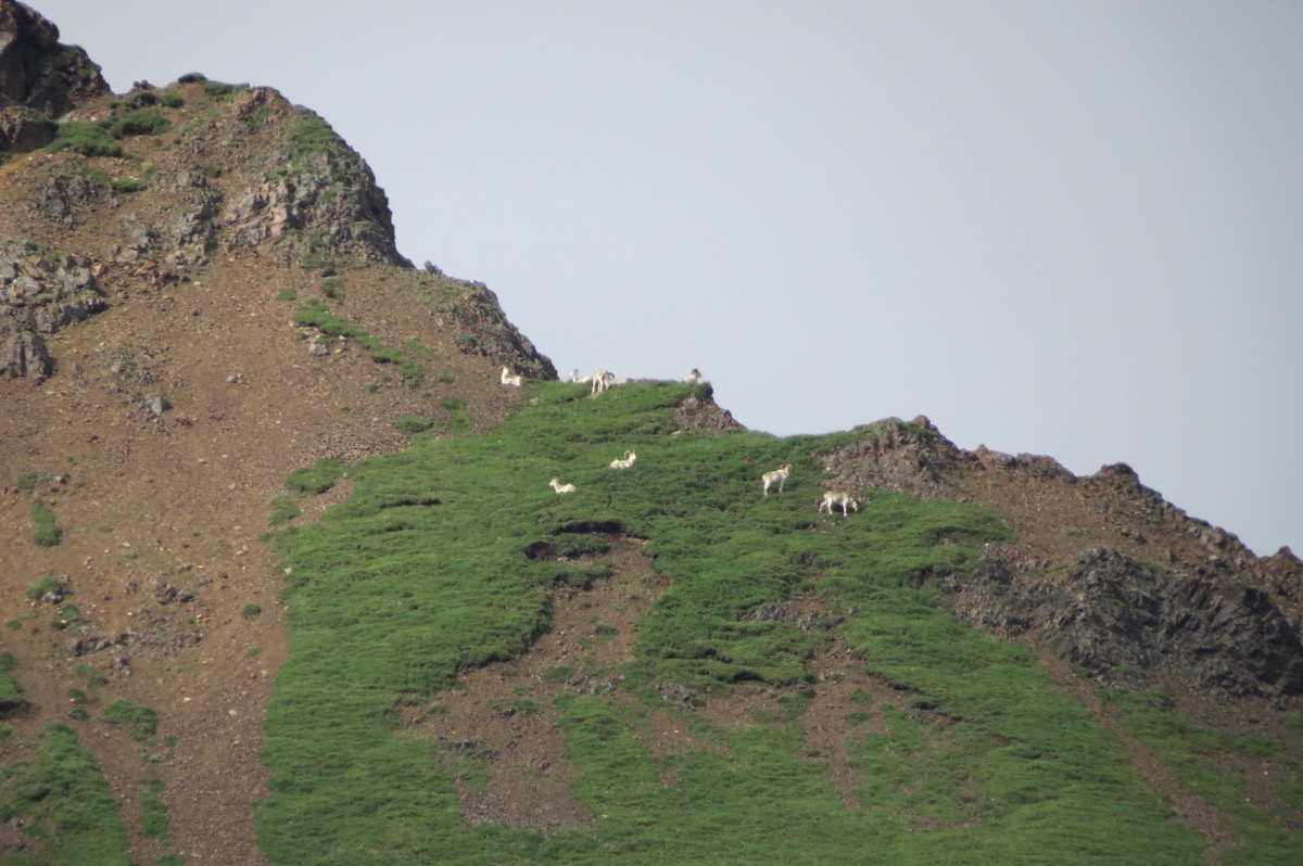
Dall Sheep on top of a mountain
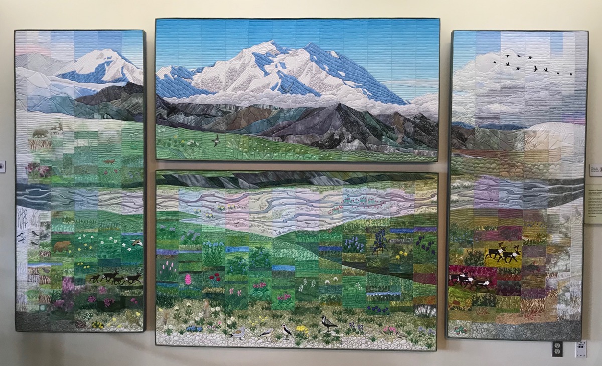
Beautiful quilt handing in the Eielson Visitor’s Center
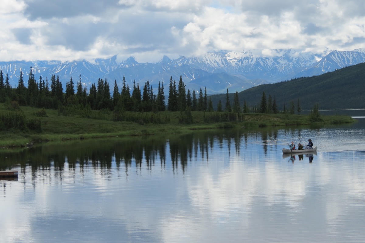
Wonder Lake - On a clear day when Mt. Denali is visible and the lake is smooth, this would make a perfect reflective picture.
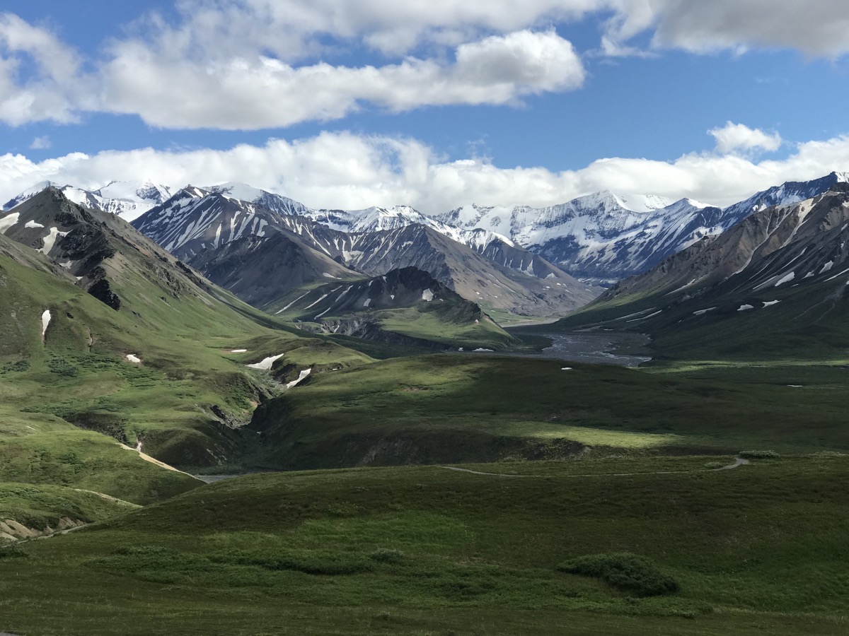
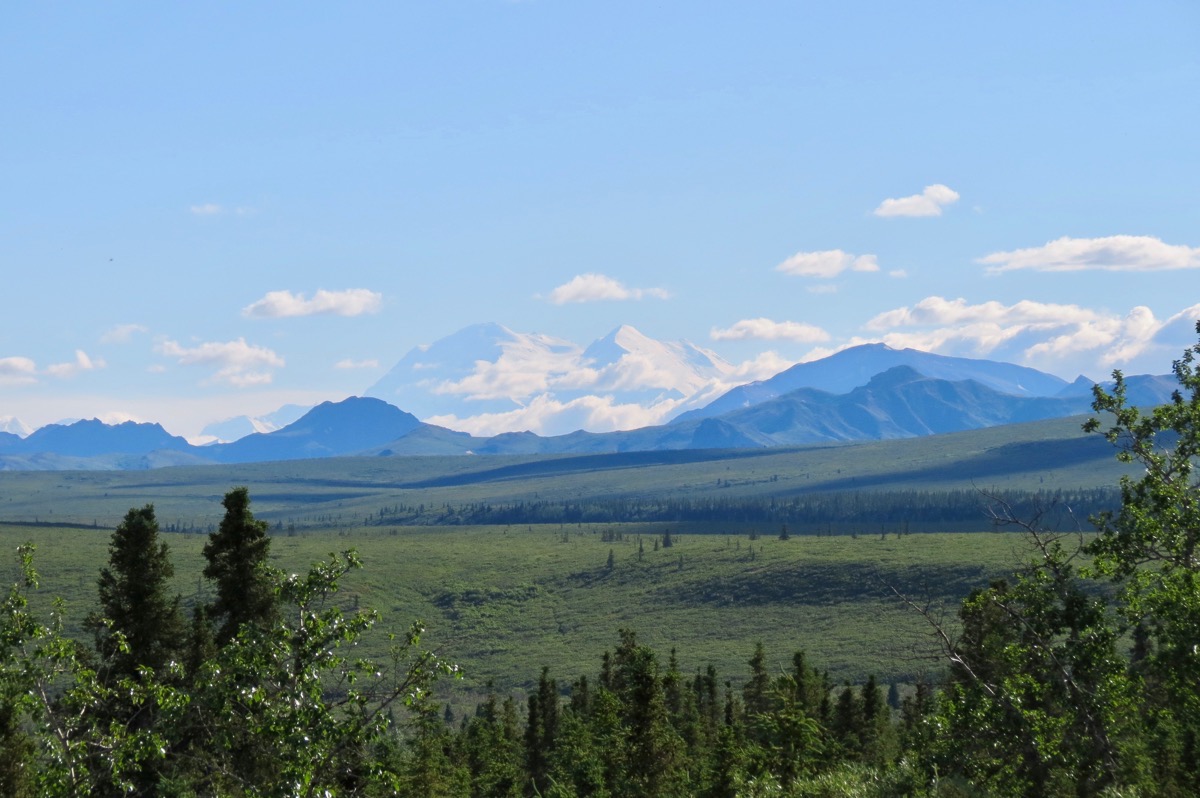
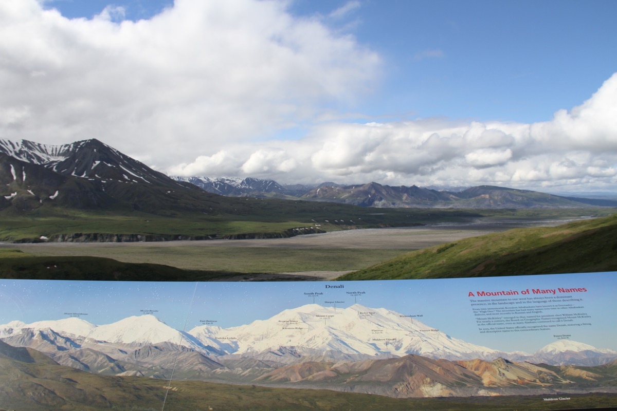
By the time we able to see all of Mt. Denali we were almost out of the park and it was 80 miles away.
-
Day 44 - Denali National Park
We left Nenana late this morning and arrived in Denali National Park around 1:00. We are staying in the Riley Creek Campground right in Denali National Park and it’s only $15 a night since we are senior citizens. There are no hook ups for water or electricity, but we are allowed to run the generator from 6:00-8:00 in the evenings and 8:00-10:00 in the mornings.
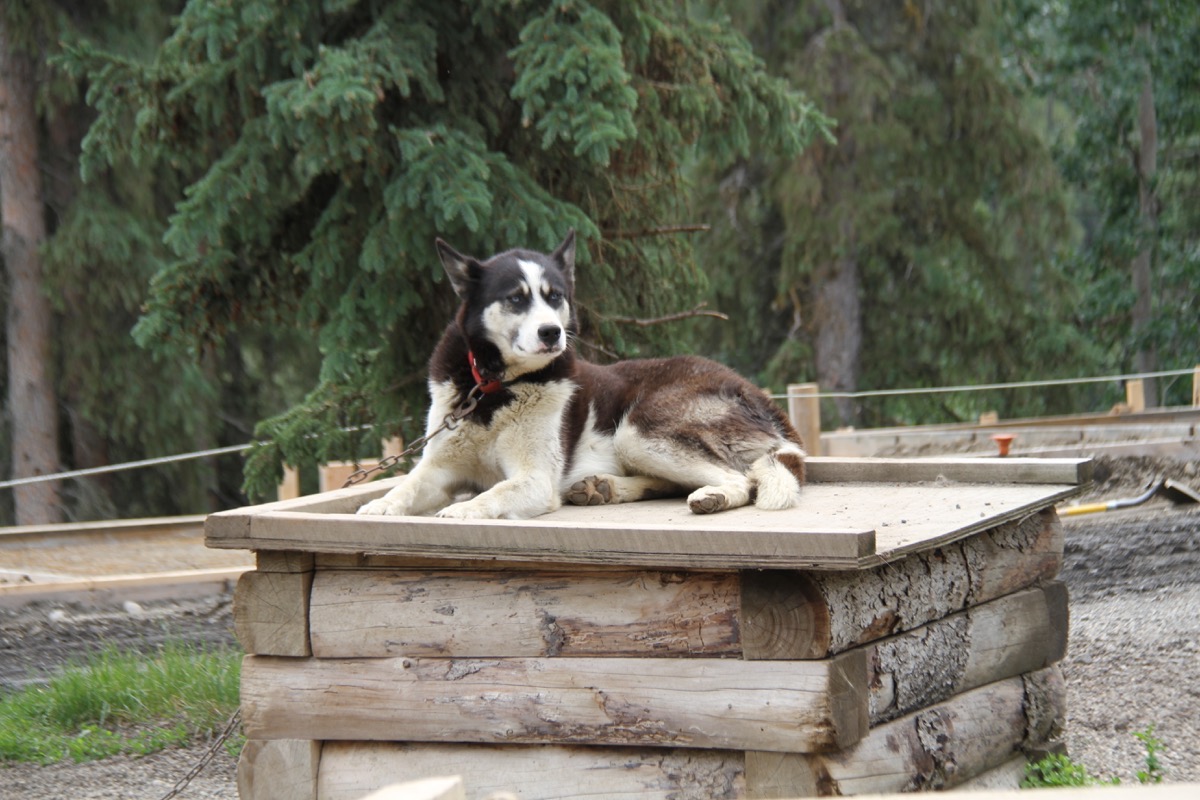
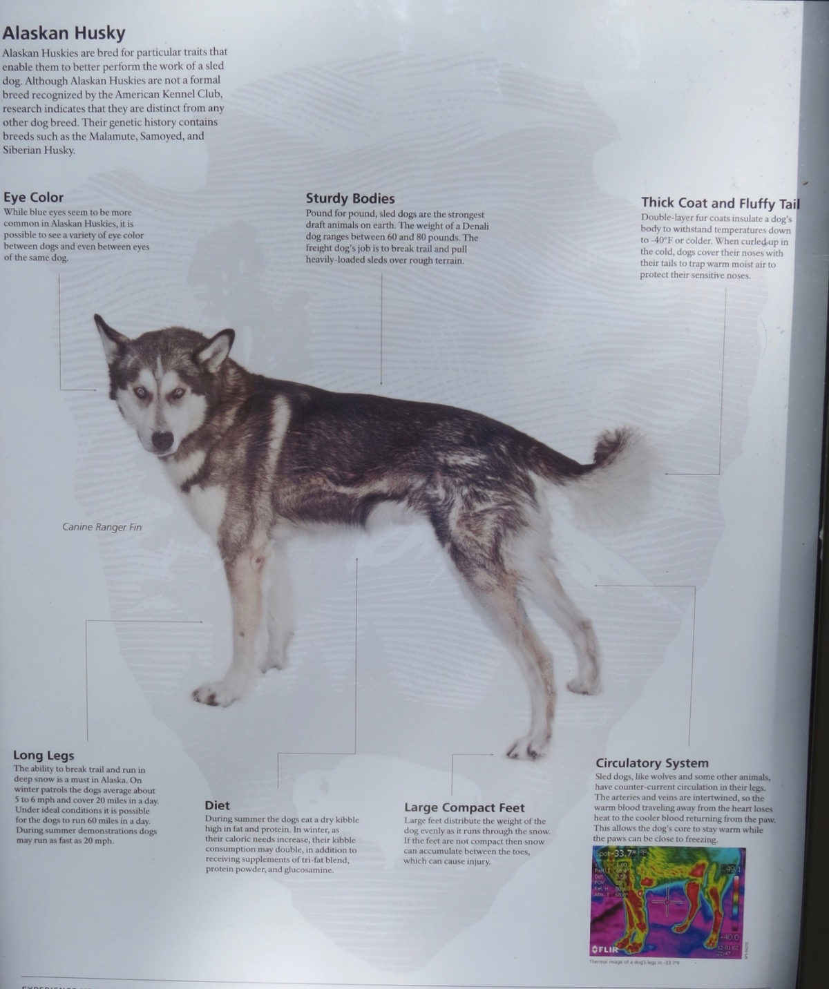
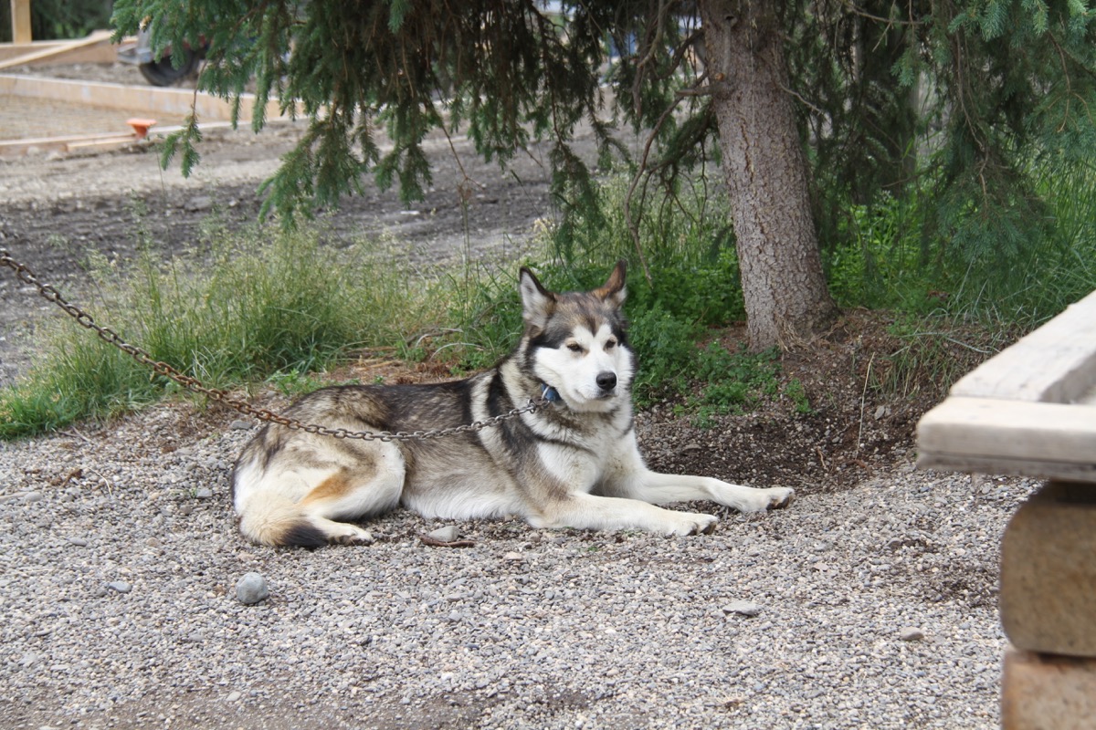
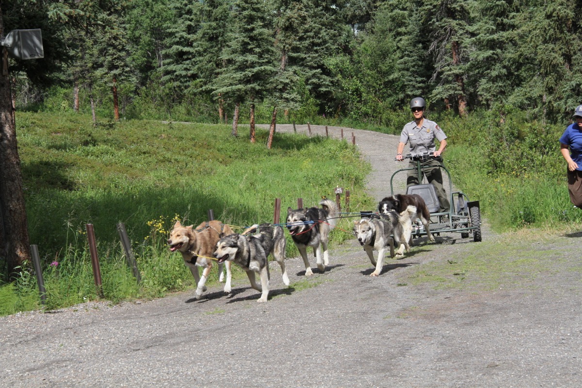
The public is only allowed to drive into the park for the first 15 miles, so we drove as far as we could and then turned around and went to the dog sled kennels. We listened to a very informative talk by a park ranger about the importance of the dogs in the park. Since Denali is a National Wildlife Wilderness, there are many places where no motorized vehicles are allowed.
The dog sleds carried all the supplies needed to built the suspension bridge pictured below. In fact, 13 TONS of materials!
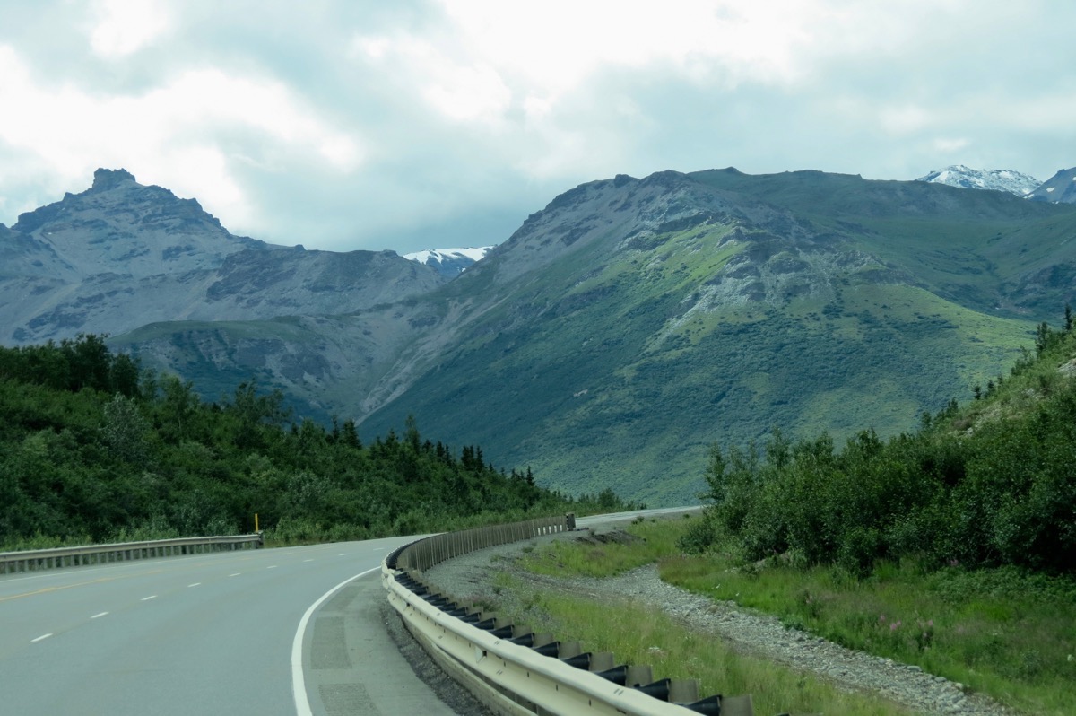
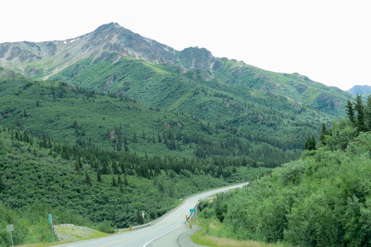
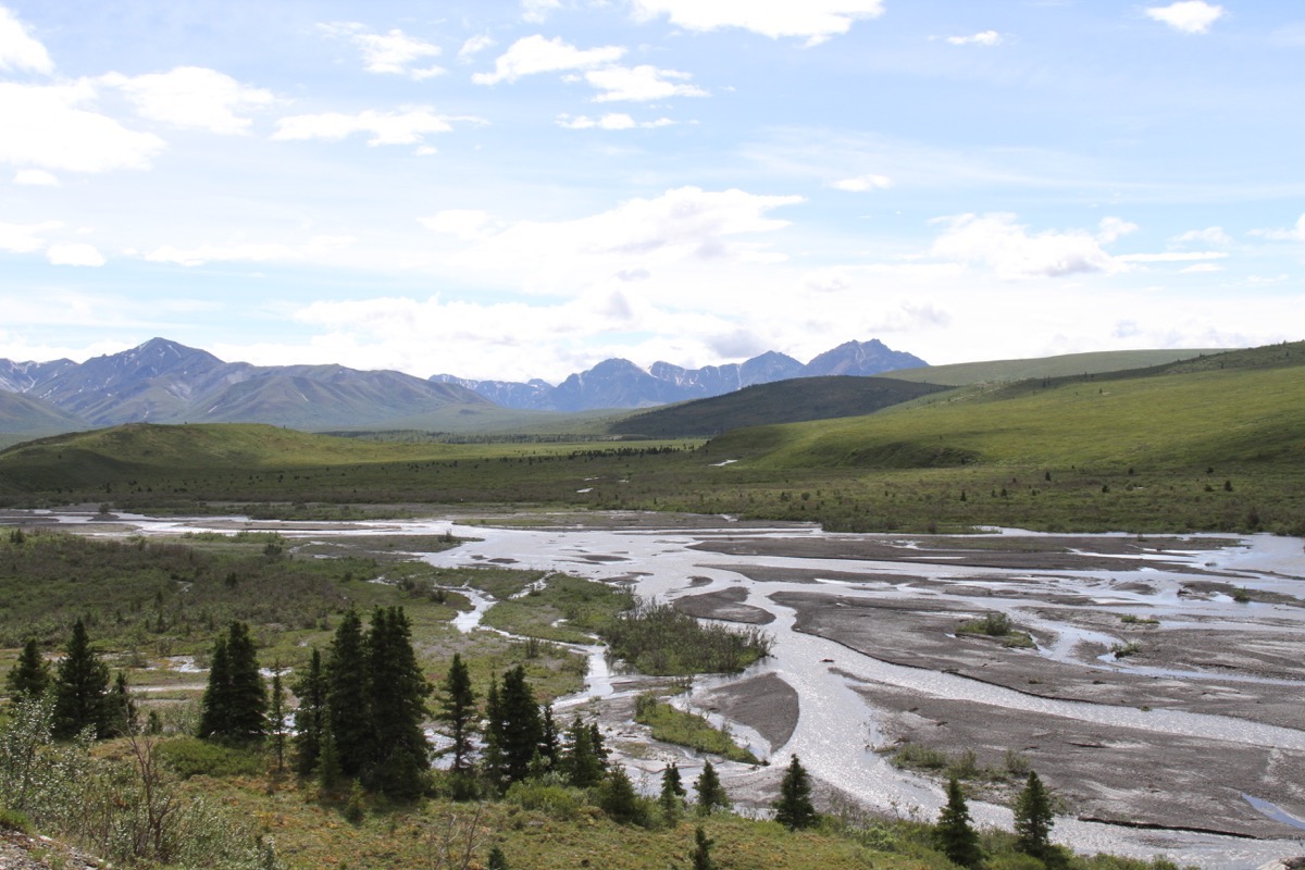
Pictures taken through the windshield while driving between Nenana and Denali
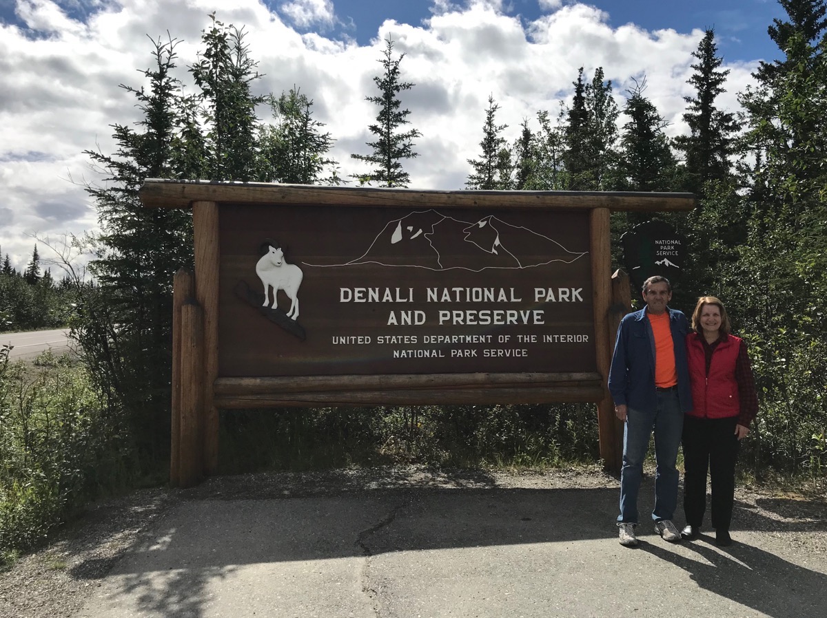
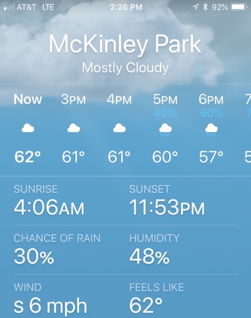
Denali Dog Sled Kennels
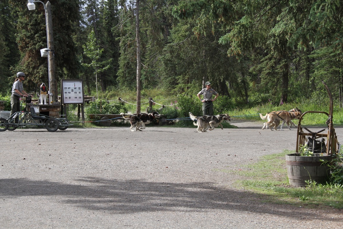
The dogs love to run!
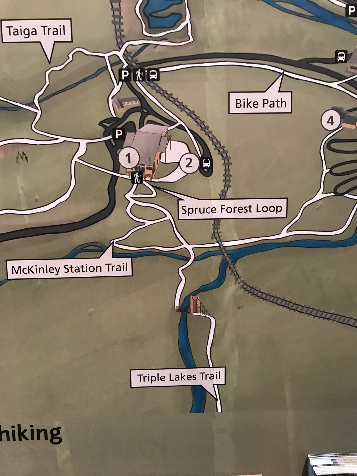
Triple Lakes Trail
We hiked the Triple Lakes Trail from the Visitor’s Center to the suspension bridge and back.
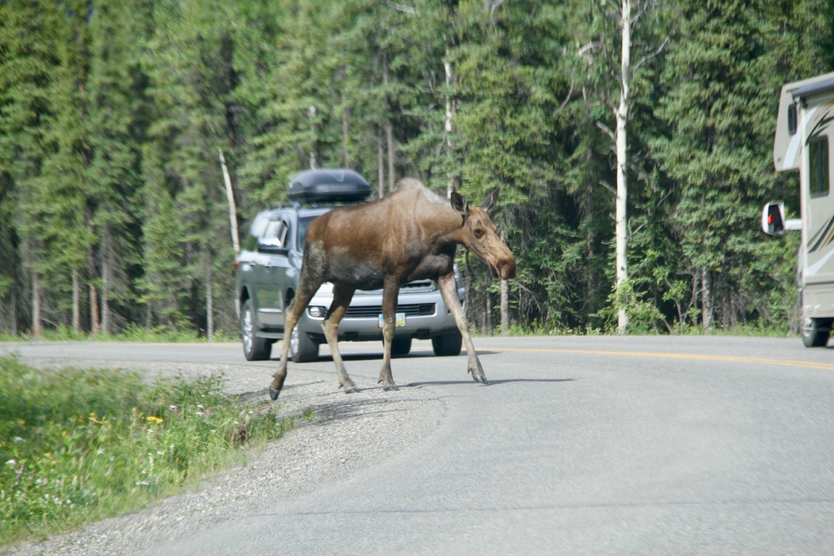
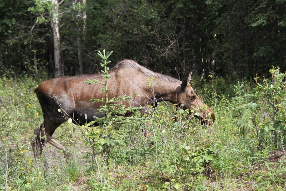
Why did the moose cross the street?? Because he owns it and everyone will STOP!
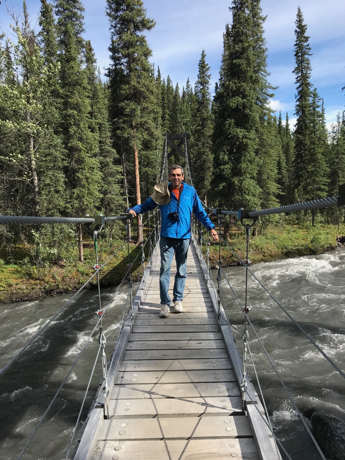
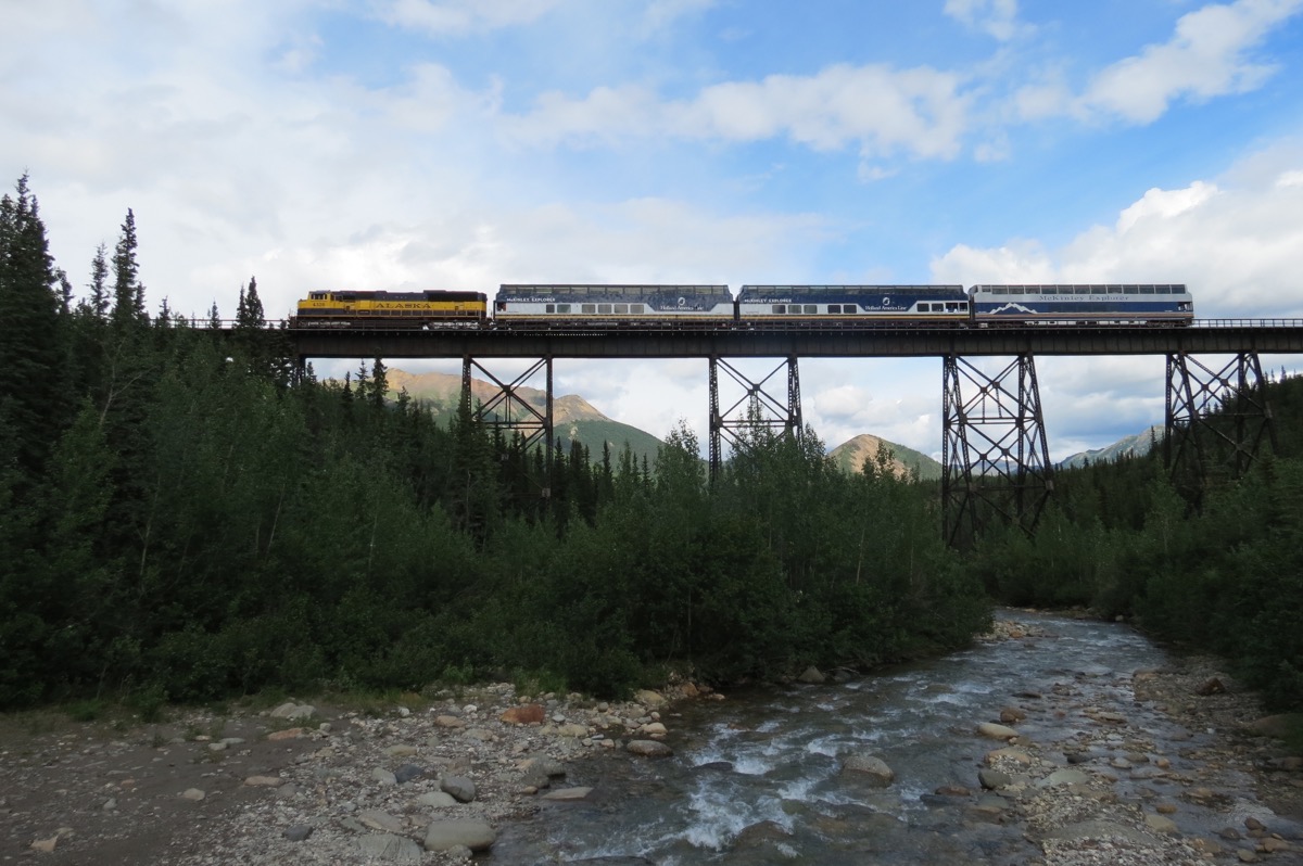
Look what we saw from the suspension bridge: The Alaskan RR bringing the Holland American tourists into Denali.
Trip Statistics:
- We drove 65 miles in the motorhome and 30 miles in the car today. Our total mileage so far is 6,460 miles
- Riley Creek Campground is $15 per night. We have spent $1,318.85 total on campgrounds or an average of 29.97 per night
- $45.49 in gas today at $3.32 per gallon. Total cost for gas so far has been $2,236.72. That makes a cost of $.346 per mile.
- Sunrise was at 4:06AM and sunset will be at 11:53PM
-
Day 43 - Fairbanks to Nenana
Nenana
Nenana has a population of 553 and is located at the confluence of the Nenana and Tanana Rivers. Nenana is about halfway between Fairbanks and Denali.
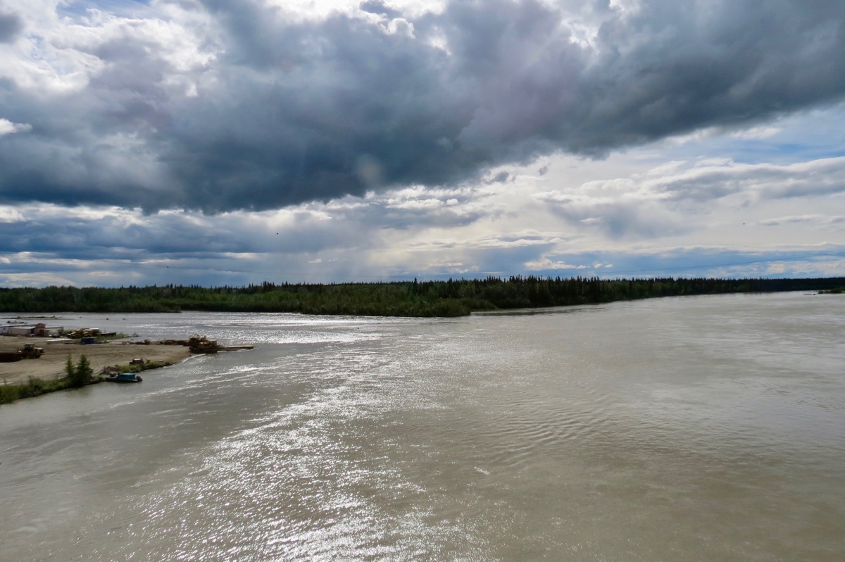
Nenana’s claim to fame is the Nenana Ice Classic, a yearly contest with cash prizes to the person who guesses the exact time the ice will break on the Tanana River. Ice Classic tickets are sold throughout Alaska from February 1st through April 5. The Ice Classic Festivities begin the last week in February with the tripod raising ceremony. When the surging of the ice on the Tanana River dislodges the tripod, a line attached to the tripod trips a clock in the tower above the Ice Classic office, thus recording the official time. HOW IS THAT FOR EXCITEMENT???
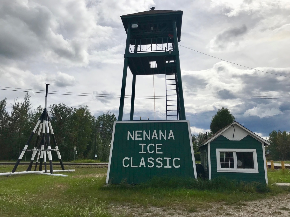
The tripod you see on the left is placed on the river after the river is frozen solid. More water is pored on the base the tripod and it is anchored in place.
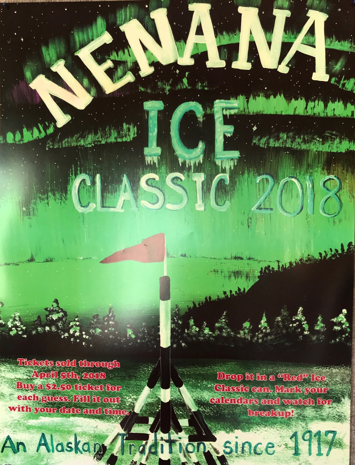
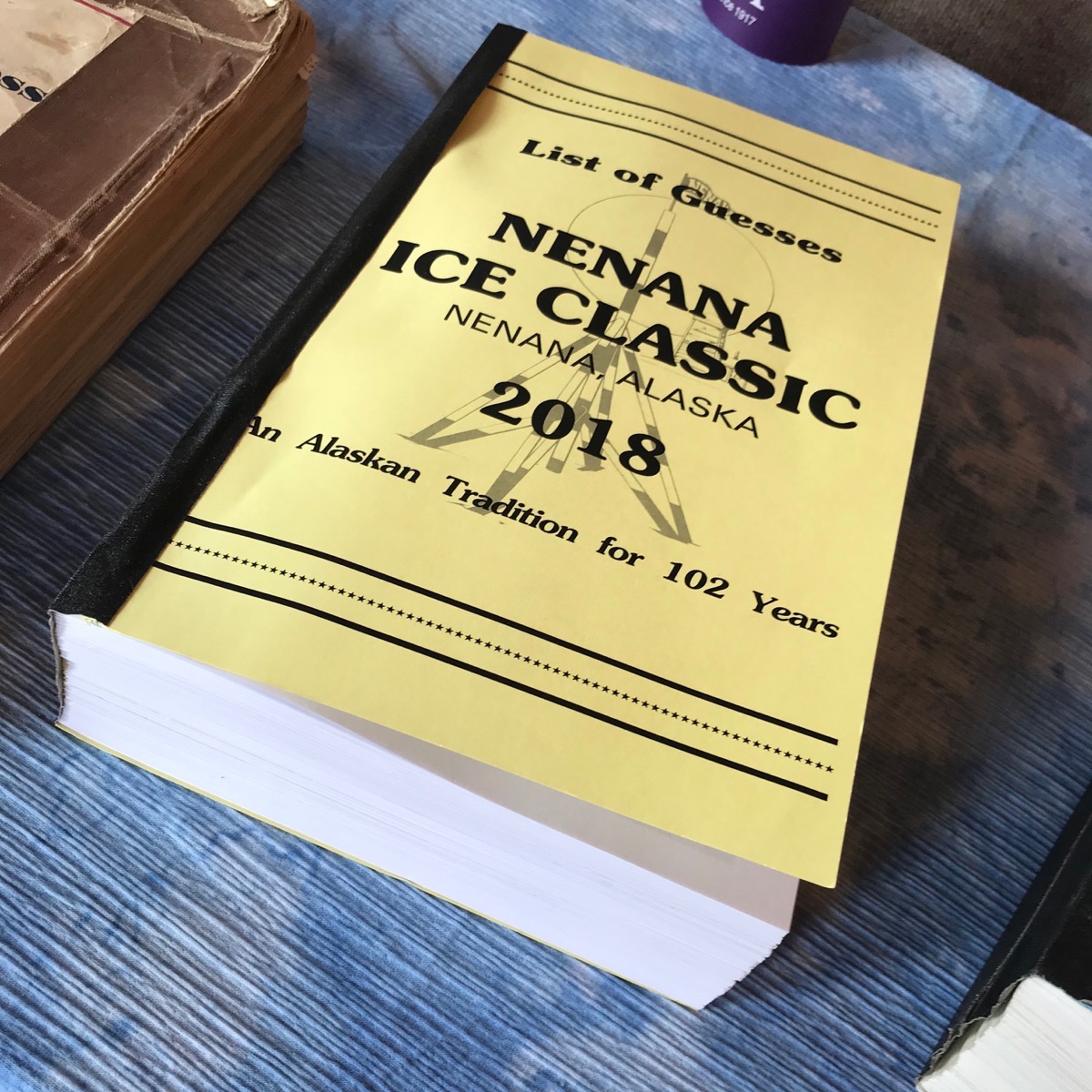
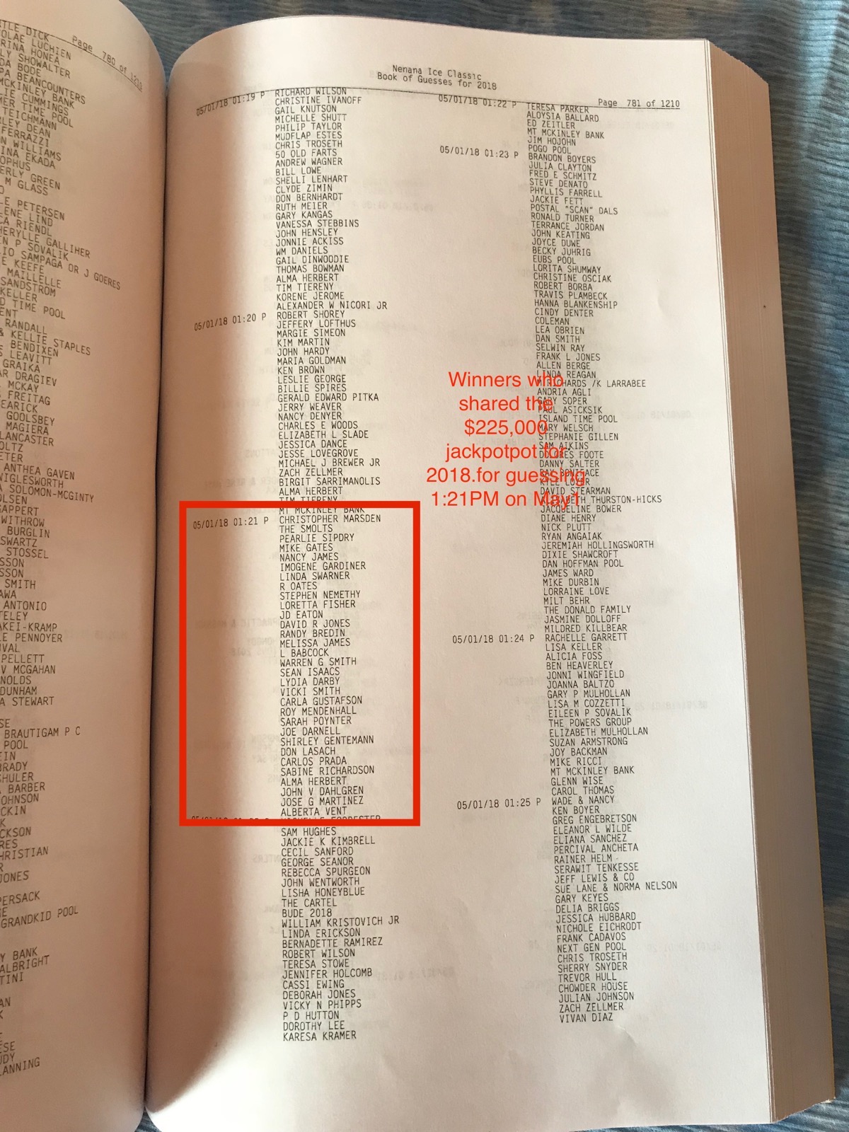
Ever single person who buys a ticket and guesses a date and a time is listed in this book. They have a book for every year.
Nenana’s Railroad Bridge
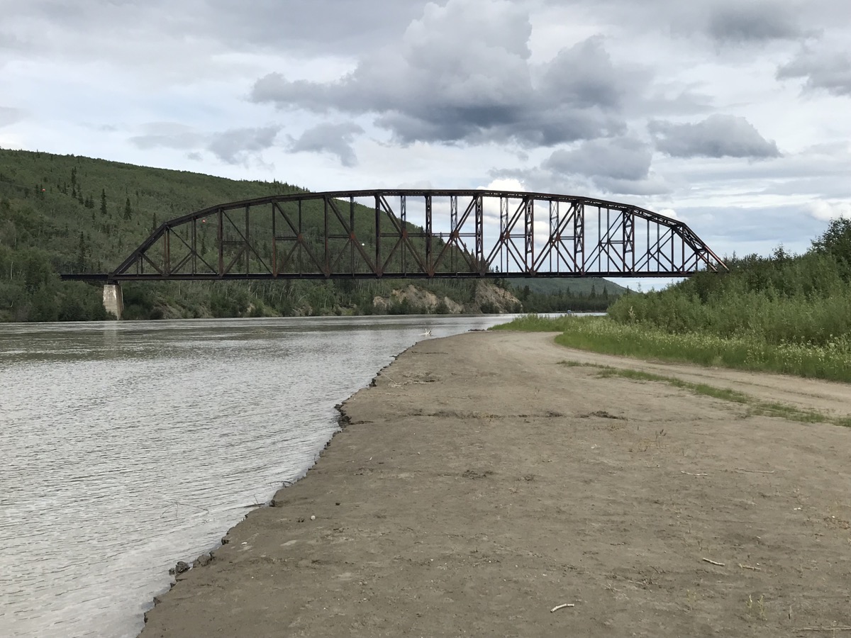
This bridge was built in the states and shipped to Alaska in pieces, the construction of the railroad bridge across the Tanana River at Nenana was a major engineering feat. In the winter of 1922-1923, the bridge was reassembled on a temporary framework in the river ice.
The bridge, one of the longest single spans in the United States, was designed to accommodate the extremes of the North. With changes in temperatures, the bridge expands and contracts on rollers. No supports stand in the water to be damaged by the huge chunks of ice that sweep by each spring.
With this final span, the coast of Alaska and its interior towns and waterways were connected.
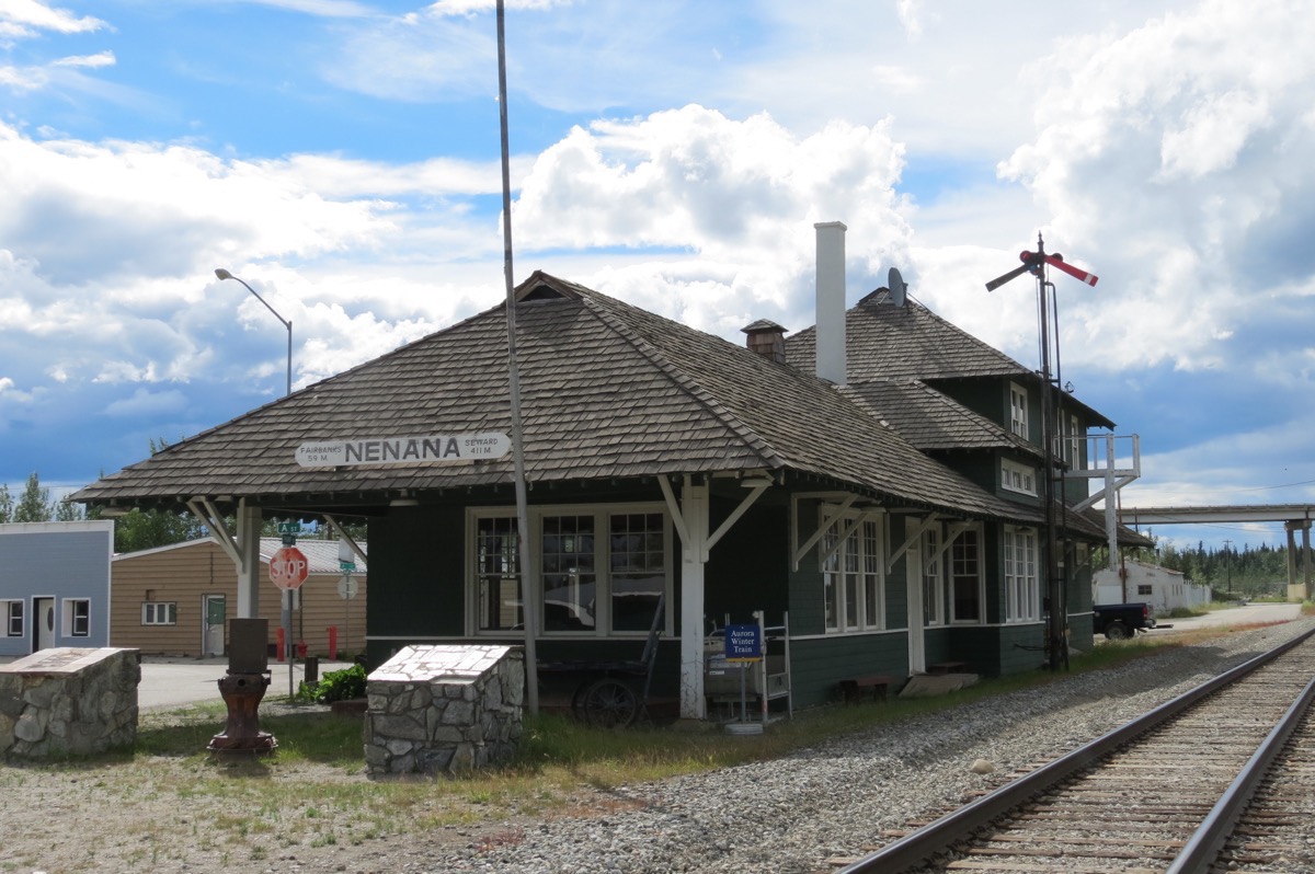
President Warren G Harding was the first American President to visit Alaska. He came here in 1923 to pound the Golden Spike signaling completion of the Alaska Railroad from Tidewater to the Interior.
Mary’s folly
After Tom and I walked through town and down to the river, we came back to the camper. I decided I wanted to walk back down and take a picture of the railroad bridge. Once I took the picture, I decided to take a picture of the confluence of the two rivers (which wasn’t so easy). I walked along the Tanana River, but could’t find a sport to take the picture. I decided to hike up an embankment underneath the bridge so I could walk halfway across the bridge to take the picture—definitely easier said than done!!! I got about ¾ the way up and absolutely couldn’t get up any further because there were no trees for the last ten feet and I didn’t have anything to hold onto to keep from sliding back down. So…I slid down (mostly on my butt), walked the road that ran underneath the bridge until it intersected with the highway. There I walked along Highway 3 and halfway across the highway bridge and took the first picture in today’s blog.
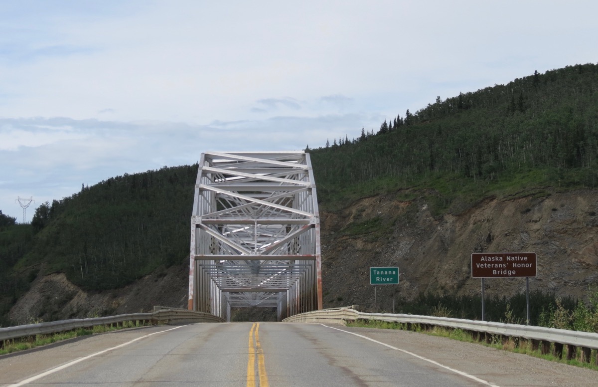
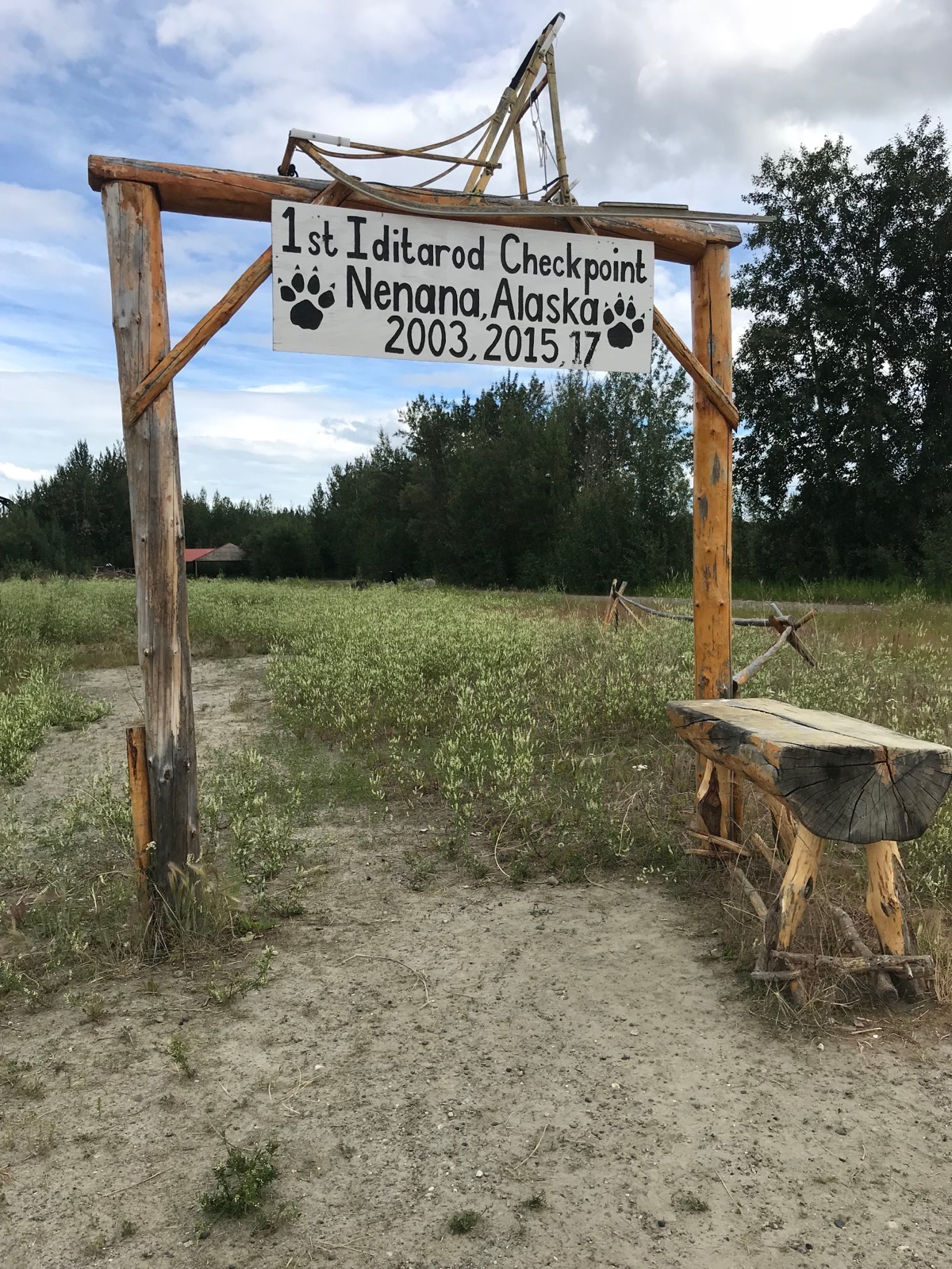
1st Iditarod Checkpoint in 2003, 2015 and 2017 was Nenana, Alaska
Trip Statistics
- We are staying at the Nenana RV Park - $33.75. So far we’ve spent $1,303.85 on lodging for an average cost of $30.38 per night
- We filled up both the car and motorhome for $3.39 per gallon today. Total cost for gas so far has been $2,191.23!
- We drove 61 miles in the motorhome and 21 miles in the car. Total miles driven so far is 6,365.
-
Day 42 - Fairbanks, Alaska
Today we drove to the Large Animal Research Station for the University of Alaska where we took a special tour to see the Muskox and Reindeer. We saw two baby reindeer and five muskox babies in addition to some adults.
Reindeer
Some scientists think reindeer were one of the first domesticated animals. They were first domesticated around 2,000 years ago. Both the male and female antlers fall off each year and regrow. A male’s can grow up to 51 inches long and weigh up to 33 pounds, which makes them useful for fighting. The females only grow up to 20 inches.They are very social creatures. They feed, travel and rest in herds. They eat only vegetation.
Female reindeer have a gestation period of about 7.5 months. At birth, a baby reindeer, called a calf, can weigh from 5 to 20 pounds. Calves are able to stand after their first hour of life and within a week they start eating solid food in addition to their mother’s milk. They mature from 4 to 6 years and live 15 to 18 years.
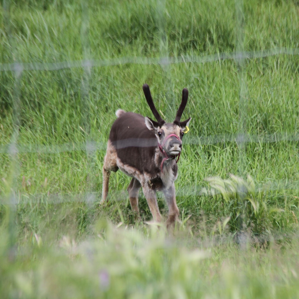 Baby reindeer
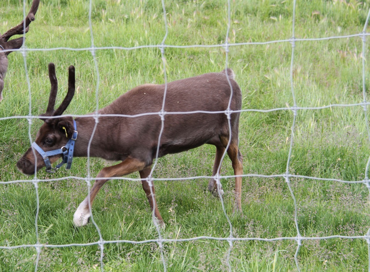
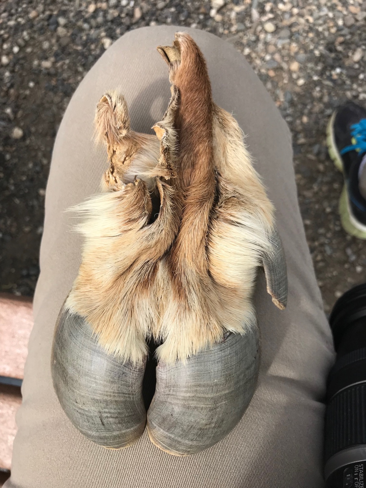
Reindeer hooves
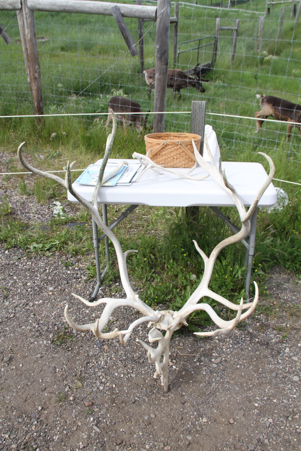
Reindeer antlers which are shed each year.
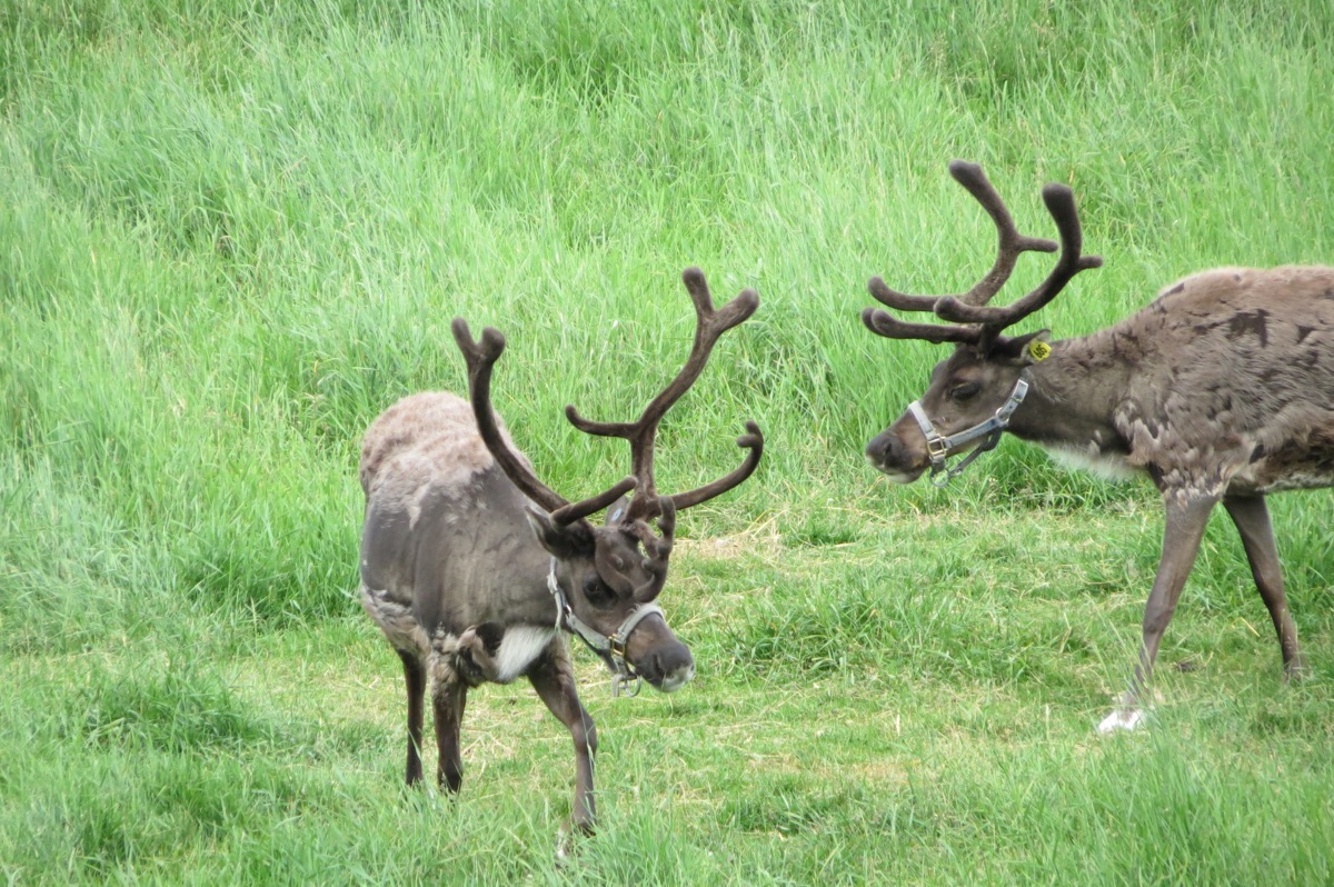
Adult Reindeer
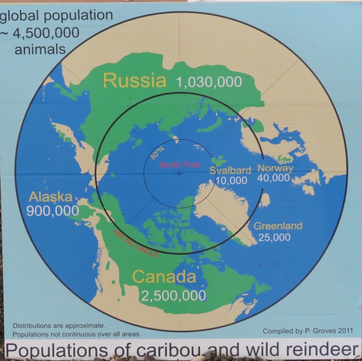
Adult reindeer
Muskox
An arctic hoofed mammal noted for its thick coat and strong odor emitted during the seasonal rut by males. This musky odor is used to attract females during mating season. Both the male and female have horns, but the horns of the bulls are much larger.The coat consists of a long, coarse, outer layer, and a short, fine under hair. Muskoxen have cloven hooves, all four of which are the same size.
Mature bulls are about 5 feet high at the shoulder and weigh 600-800 lbs. Cows are smaller, approximately 4 feet high at the shoulder and weigh 400-500 pounds. These animals were around during the Ice Age and have not evolved since then.
Muskoxen are valued for their meat—about 260 animals a year are killed by hunters. They are also valued for wildlife viewing, for the artwork made from their horns, and for their soft undercoat, considered the world’s warmest wool for its weight.
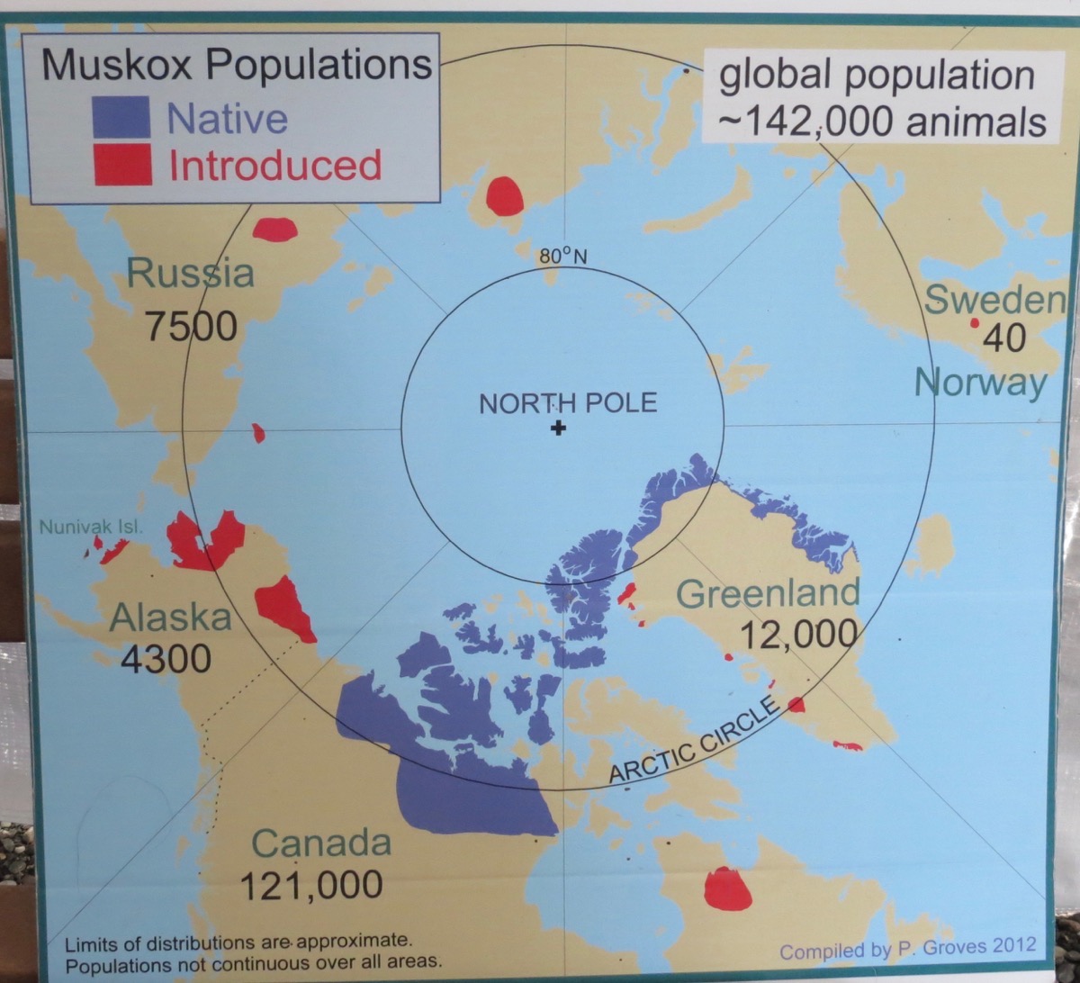
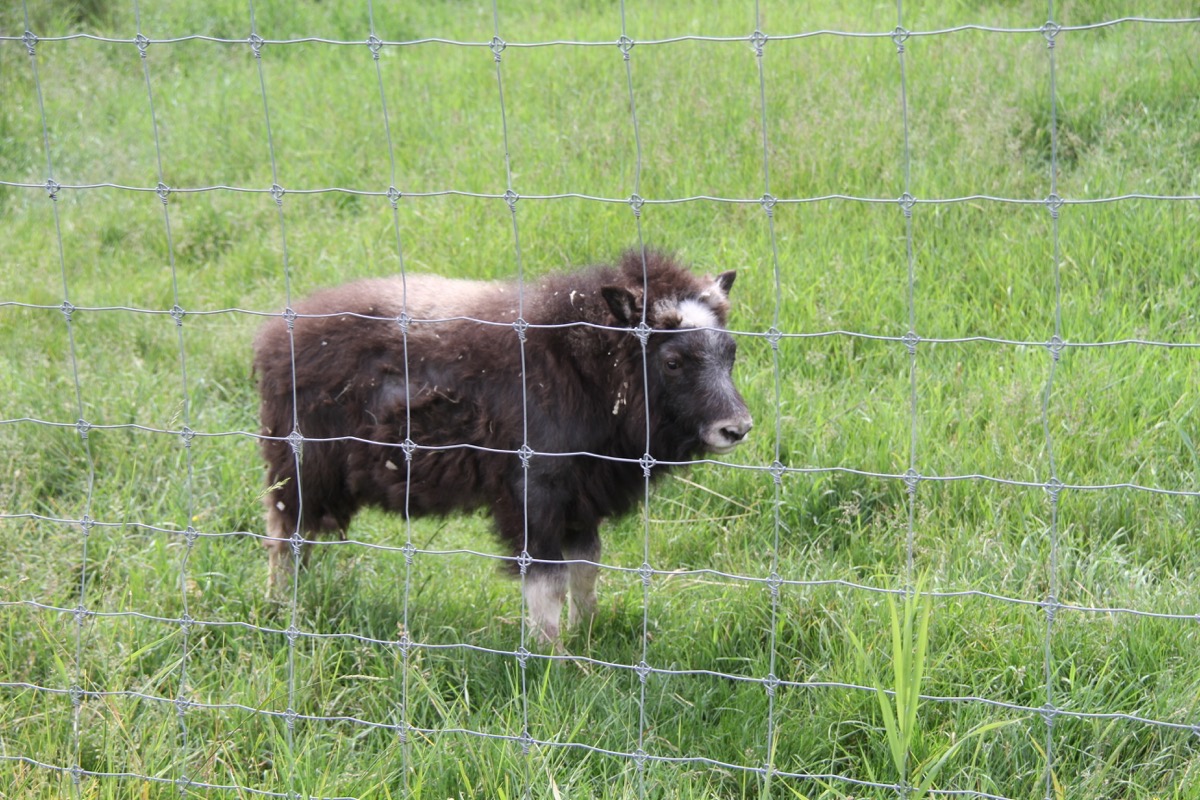
Baby muskox
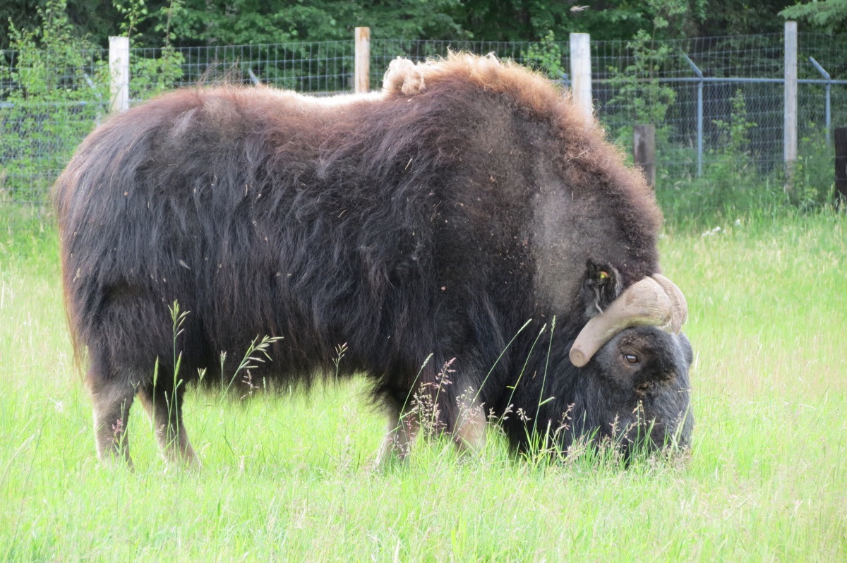
This muskox is missing a chunk of his horns.
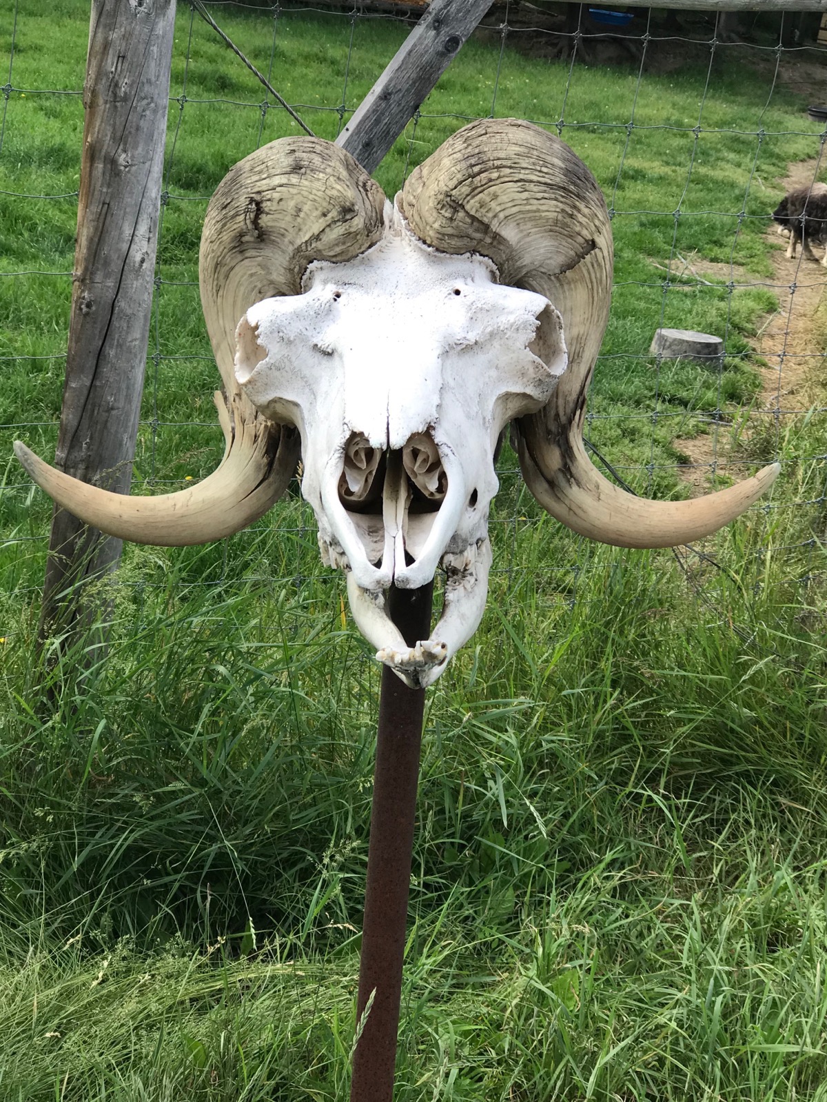
Muskox skull with horns
Fairbanks Visitor Center
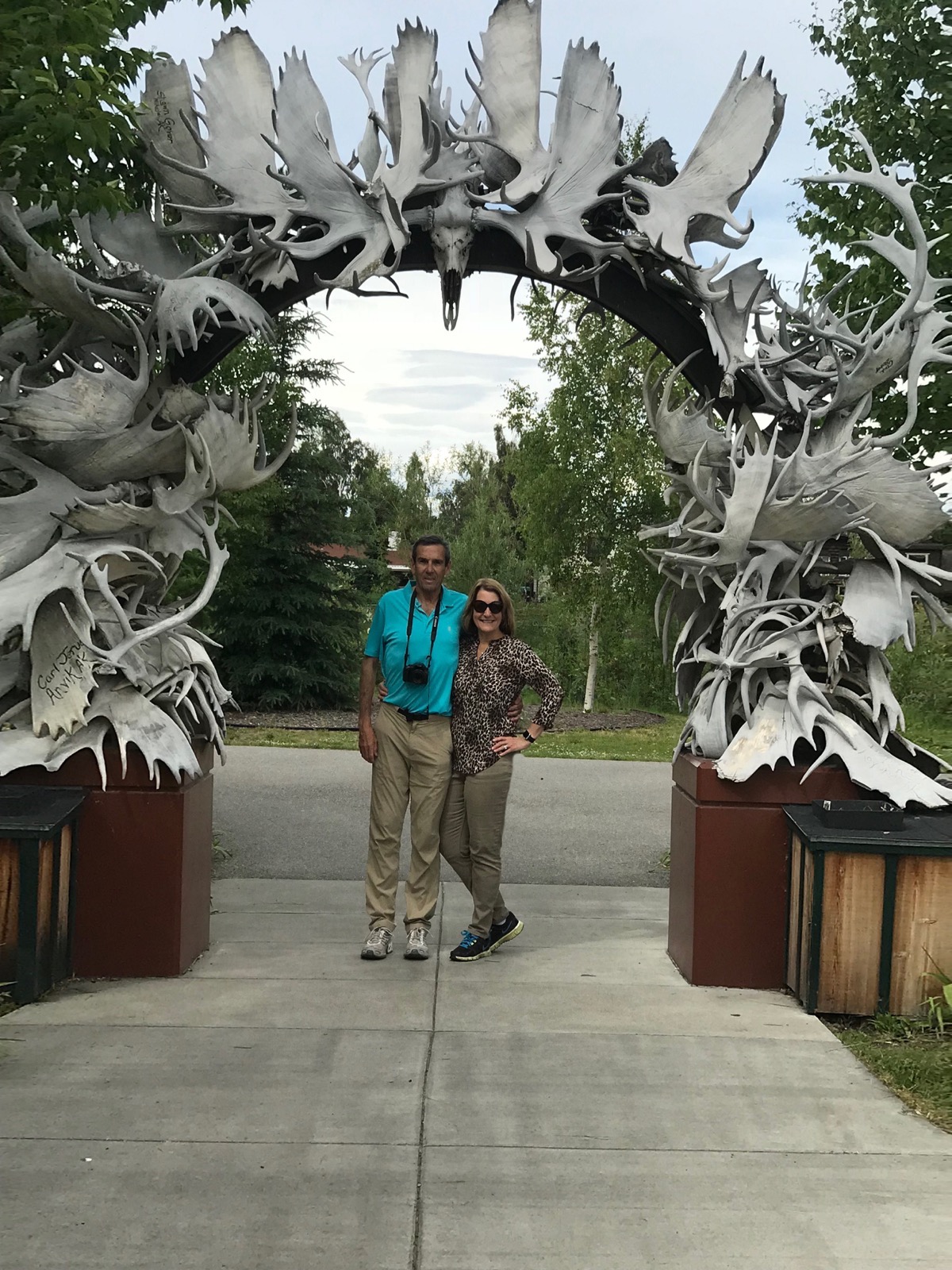
Fairbanks Ice Museum
We watched a wonderful movie presentation of the ice sculpting competition that takes place in Fairbanks each year in March. Afterwards we walked through the museum and posed with some of the sculptures and road down the ice slide on a sled.
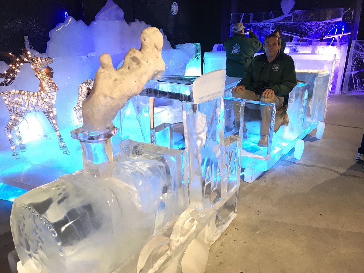
Tom sitting in the Ice Train
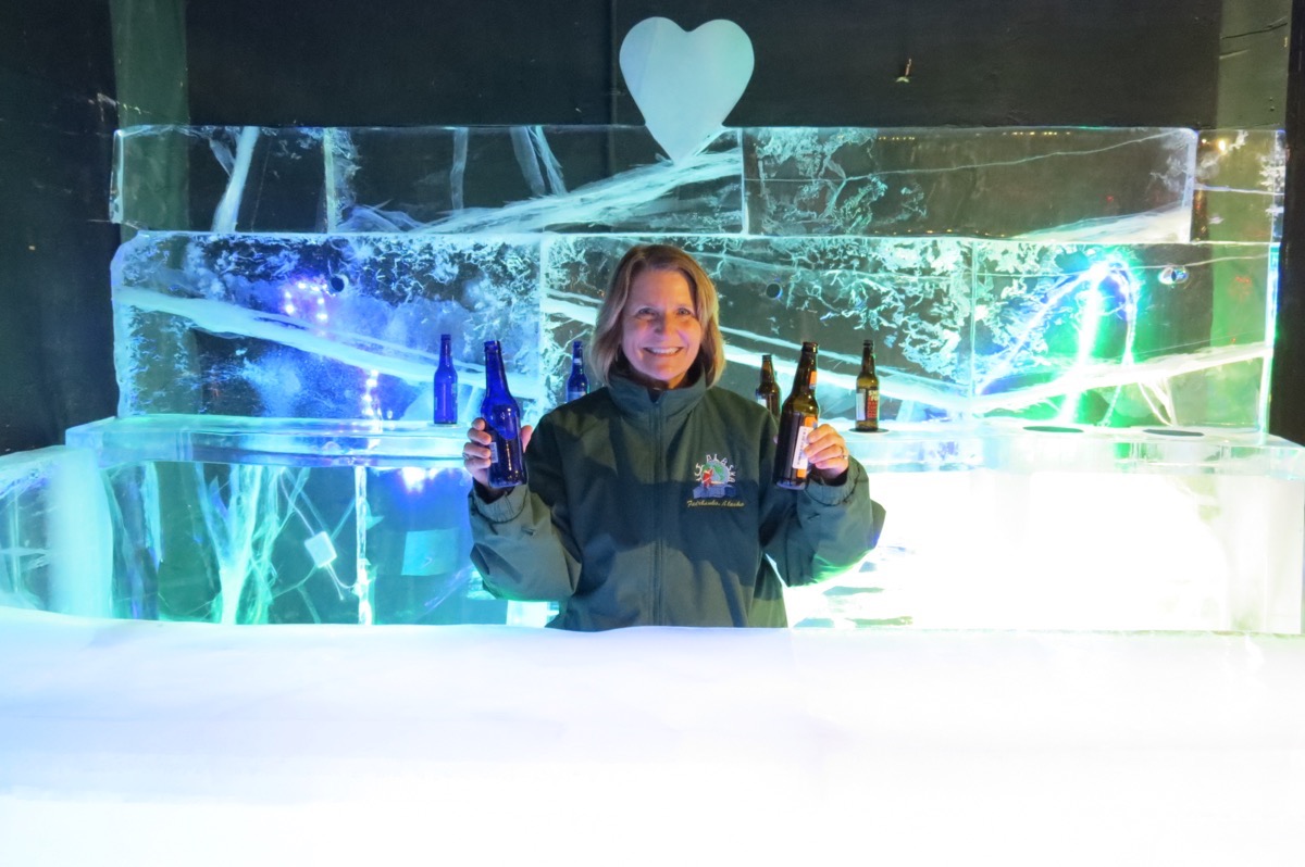
The Ice Bar
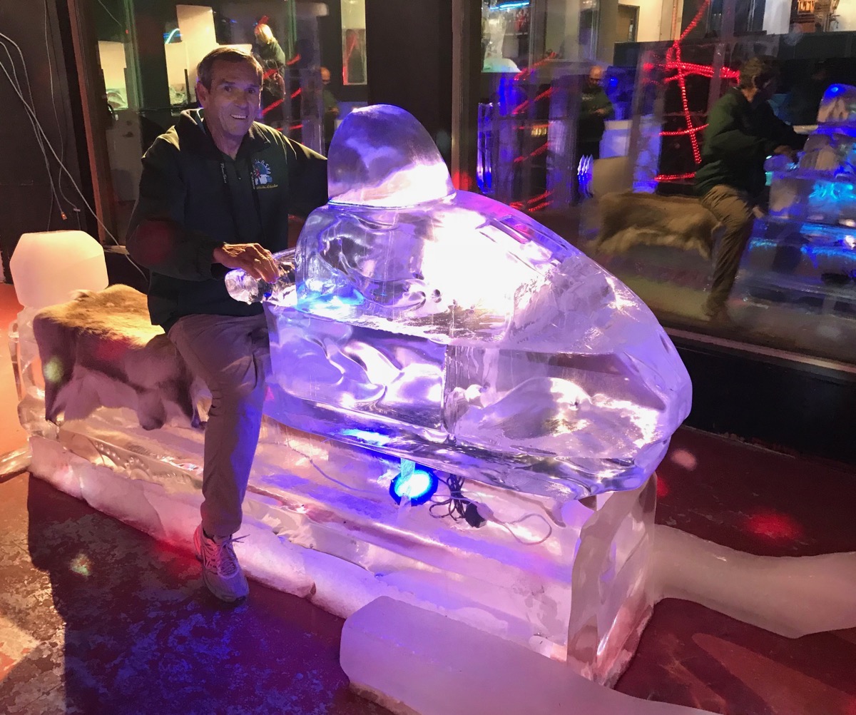
A snow ski
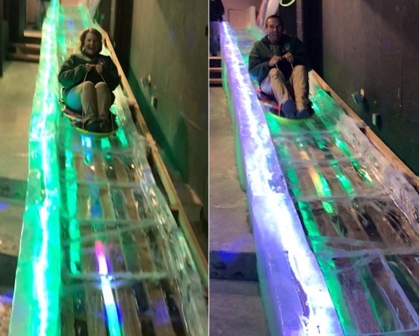
Ice slide
Sights Around Town
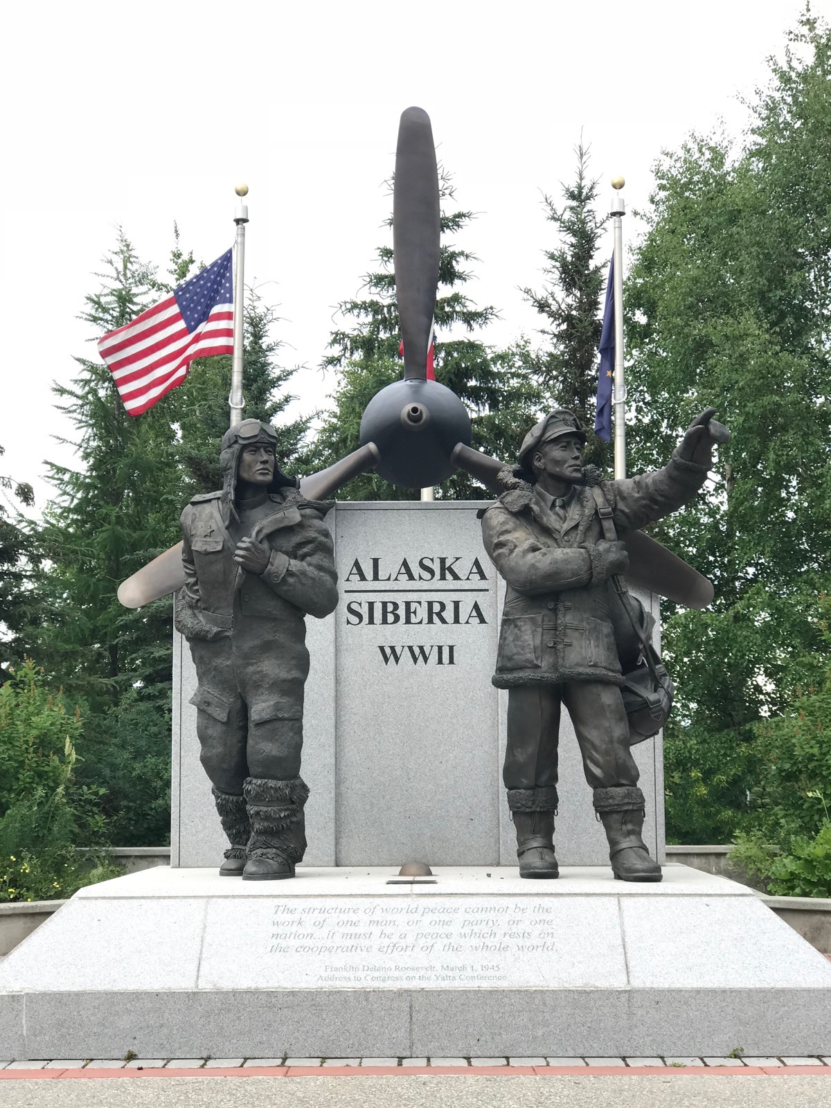
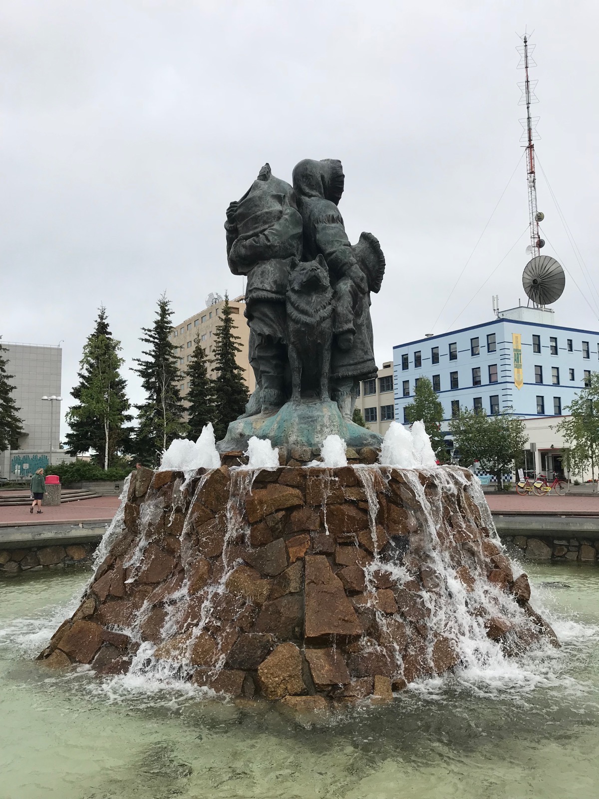
Pioneer Park Palace Theatre
Tonight we went to see the Golden Heart Review which was a hilarious musical comedy about life in the last frontier. Through songs and stories the cast presented historical highlights of Fairbanks , also know as the Golden Heart City.
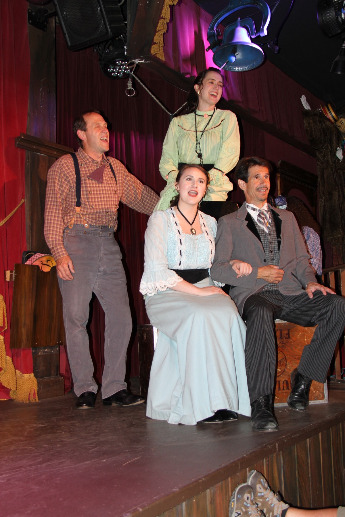
Trip Statistics
- We drove 50 miles in the Honda while the motorhome stayed parked-6,383 miles total so far
- Riverview RV Park in North Pole - $45.86 per night
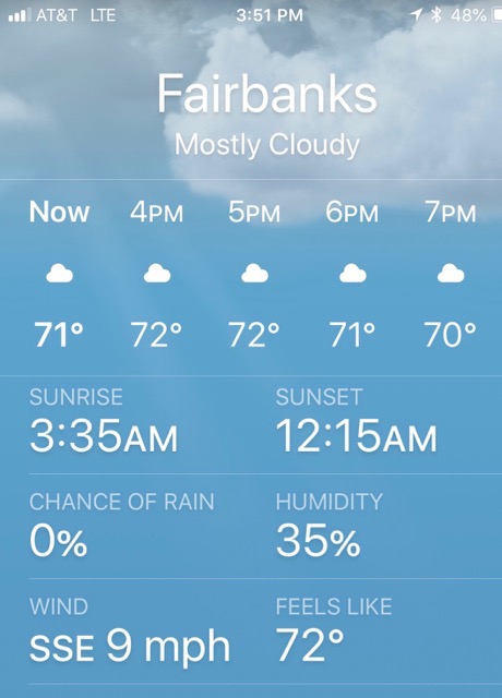
- Sunrise at 3:35AM and Sunset will be at 12:15 AM
-
Day 41 - Northpole and Fairbanks
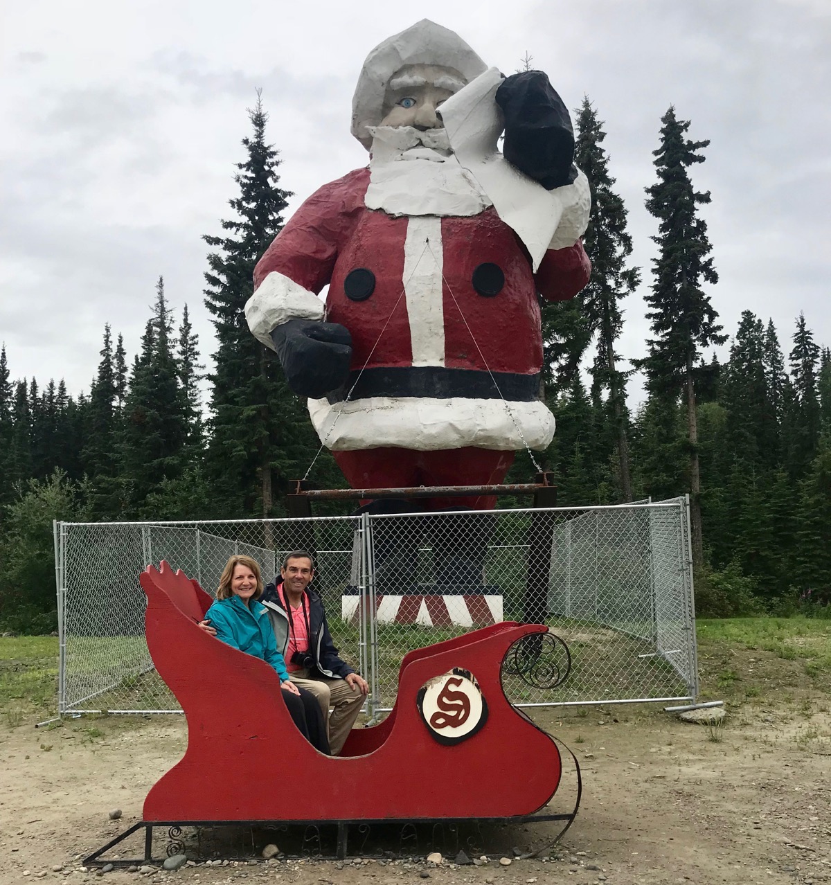
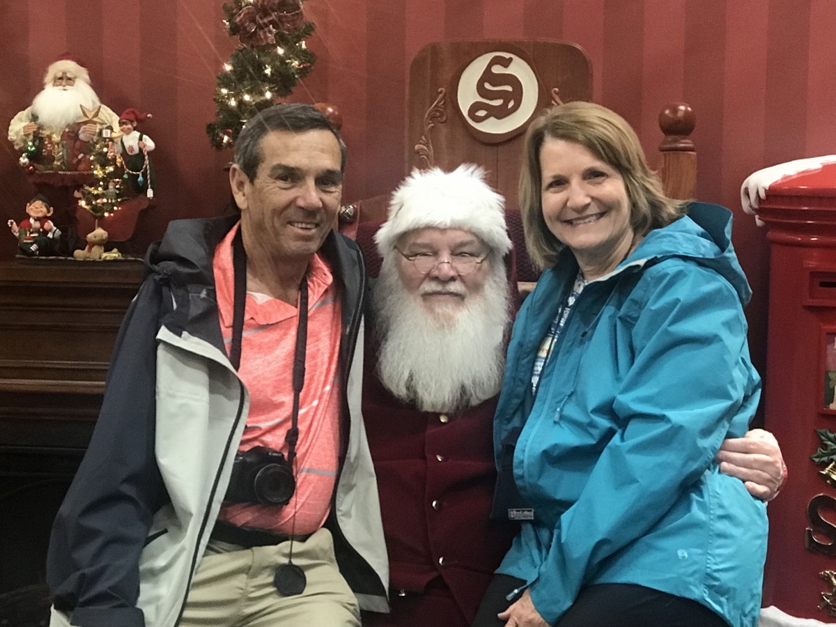
Since we were in North Pole, Alaska, we thought it would be mandatory that we visit the Santa Claus House. It’s just a souvenir shop, but we had our picture taken with Santa-both inside and outside of the shop.
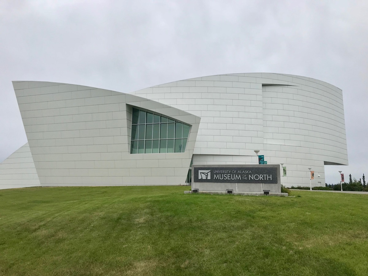
Museum of the North at the University of Alaska
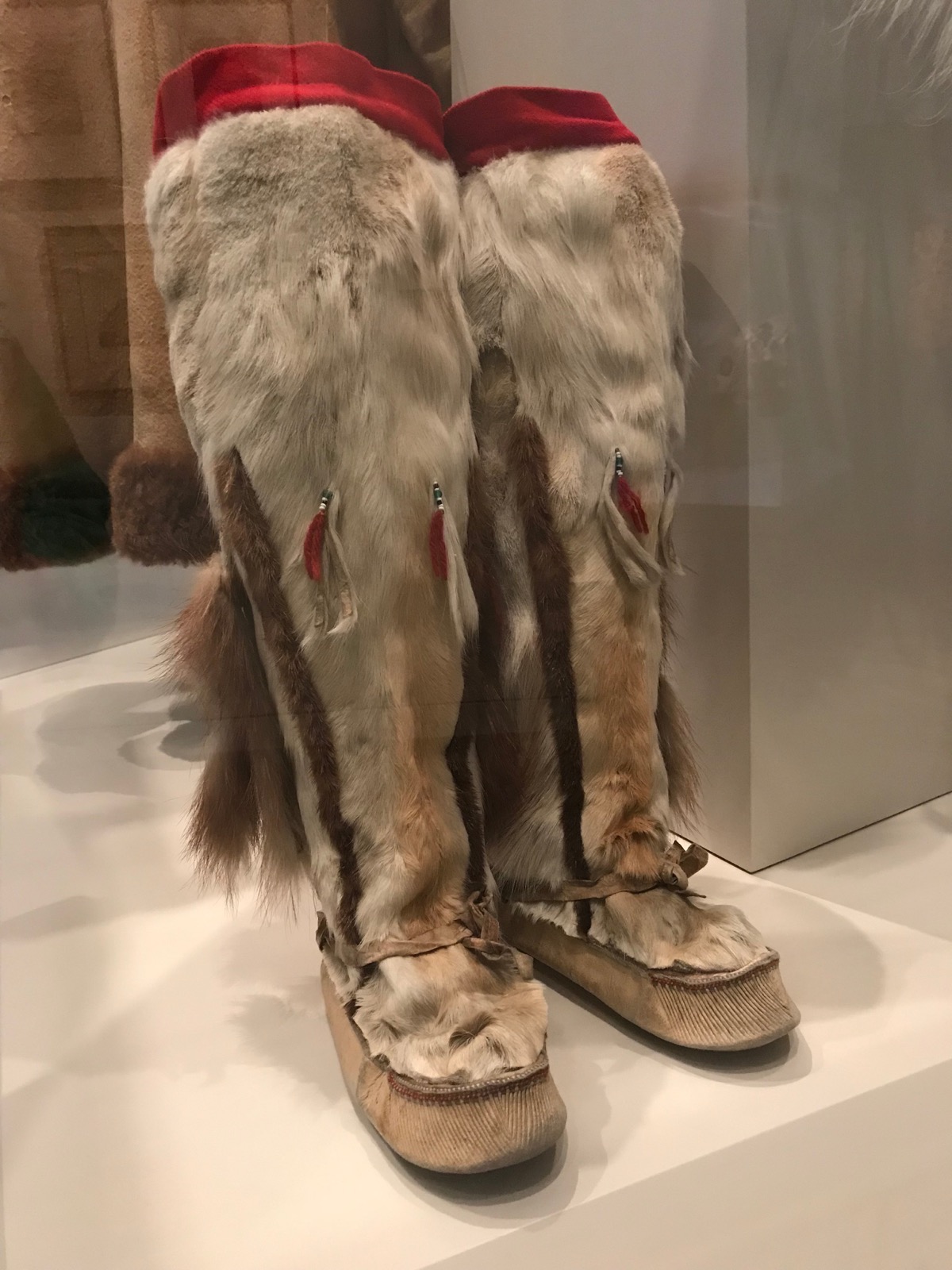
After lunch Bob and Gladys Carter went to the University of Alaska to tour the Museum of the North with us. The museum’s exhibits are the best introduction to Alaska’s diverse wildlife, people and landscapes.
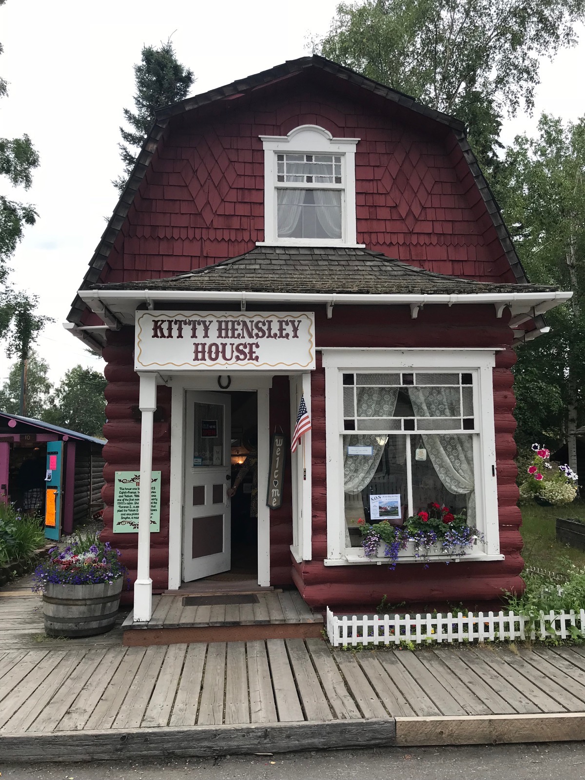
Pioneer Park
The park commemorates early Alaskan history with multiple museums and historic displays on site.
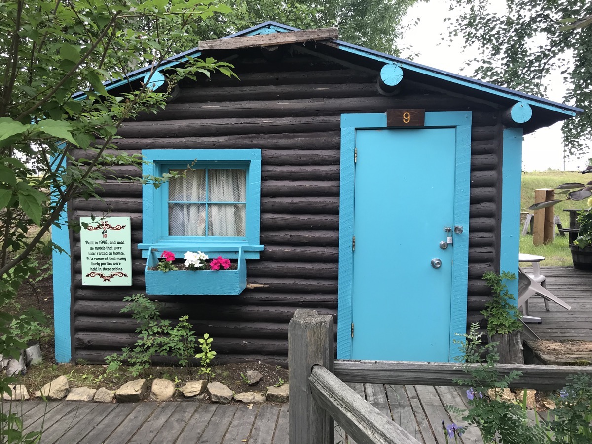
Trip Statistics
- We drove 60 miles in the CRV while the camper stayed parked. 6,233 miles total
- We stayed at the Riverview RV Park in North Pole for $45.86 per night
- Sunrise was at 3:31AM and sunset will be at 12:17AM
-
Day 40 - North Pole (Fairbanks )
This morning we drove 92 miles from Delta Junction to the North Pole (outside of Fairbanks).
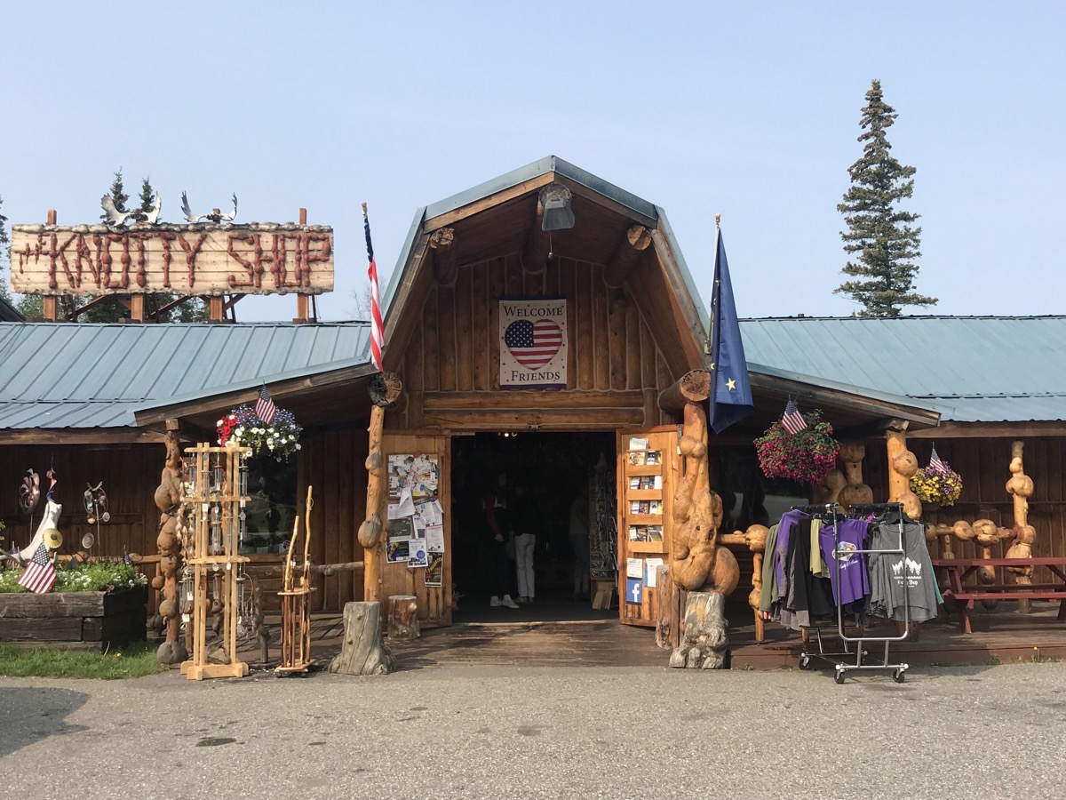
The Knotty Shop
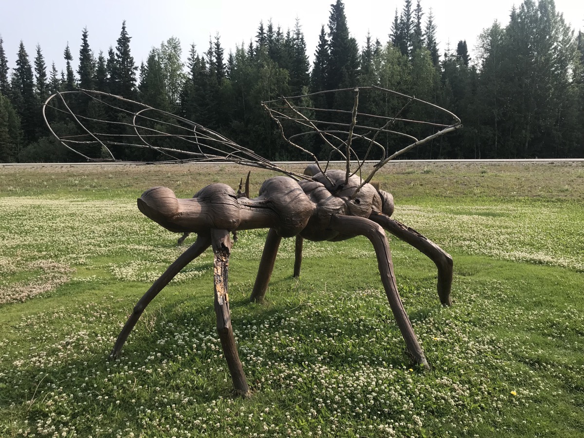
A mosquito (of which there are plenty here in Alaska), but this one is made from knotty wood.
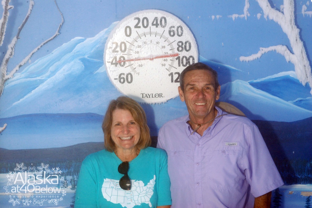
We had this picture taken in a room where the temperature was -40 degrees! Fairbanks only gets 11” of precipitation a year, so the cold is a very dry cold. In fact, it’s impossible to make a snowball because the snow won’t stick together.
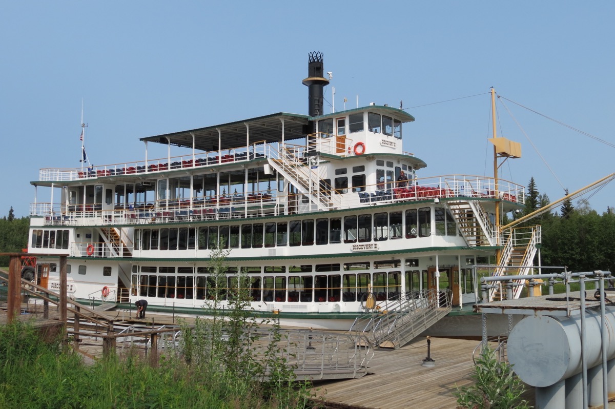
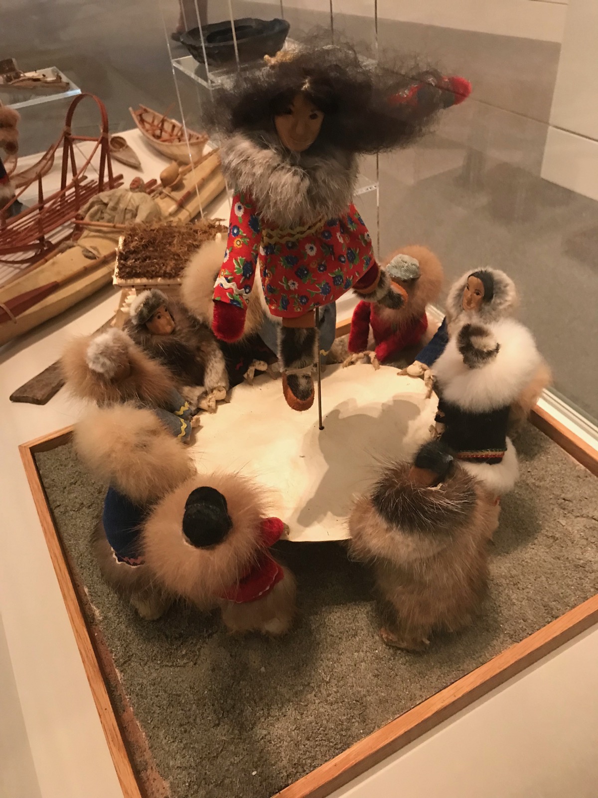
In North Pole, Alaska we are staying at the Riverview RV Park. We took the River Boat Discovery Tour on the Chena River. Once we were on our way, a float plane landed and took off right beside the boat. We visited the home and kennels of the late four-time Iditarod winner Susan Butcher and saw her champion sled dogs in action. We also visited a model of an Athabascan Indian Village and learned about their culture and how they lived.
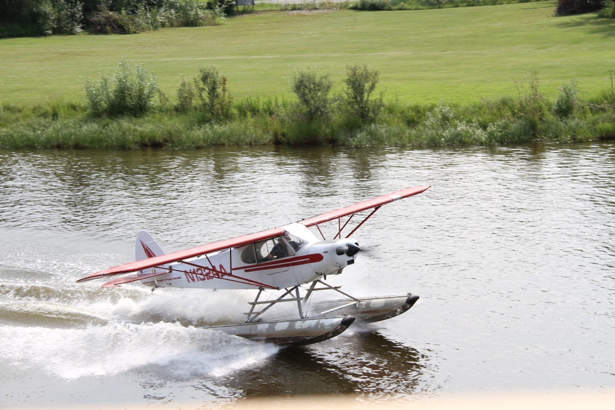
A float plane taking off right beside the boat.
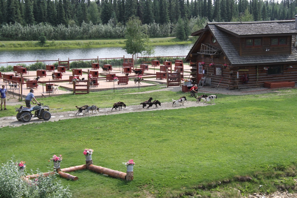
We stopped at 4 time Iditarod winner Susan Butcher’s kennels where we watched the dogs pulled a four wheeler around the property. Notice the rope holding the four wheeler in place while the driver gets on. This is because the dogs love to run and then would take off without him
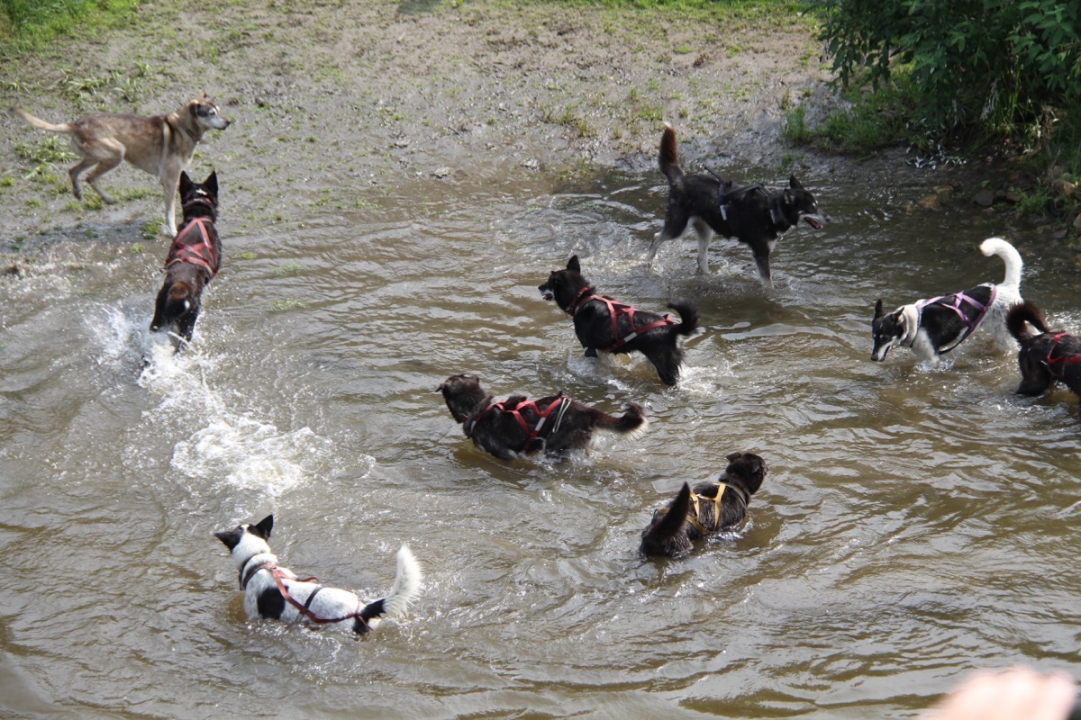
After the dogs were unhooked from the ropes, they jumped into the Cheno for a quick dip
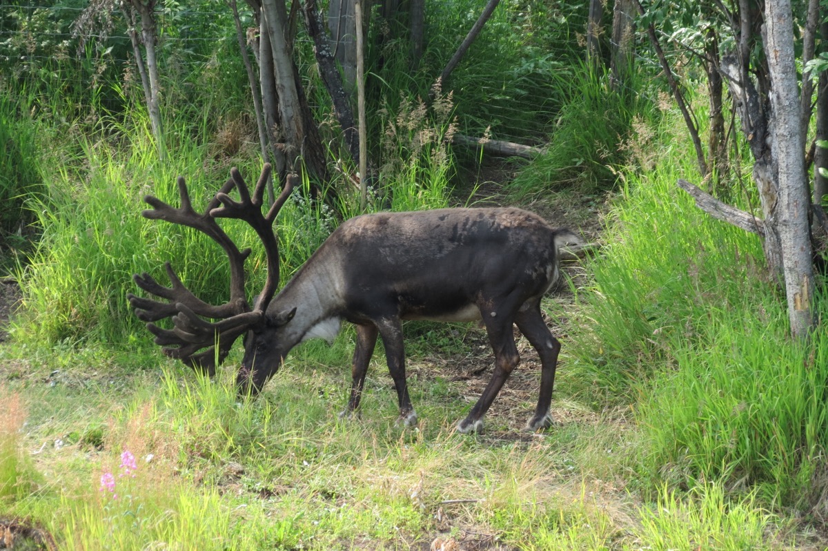 A reindeer
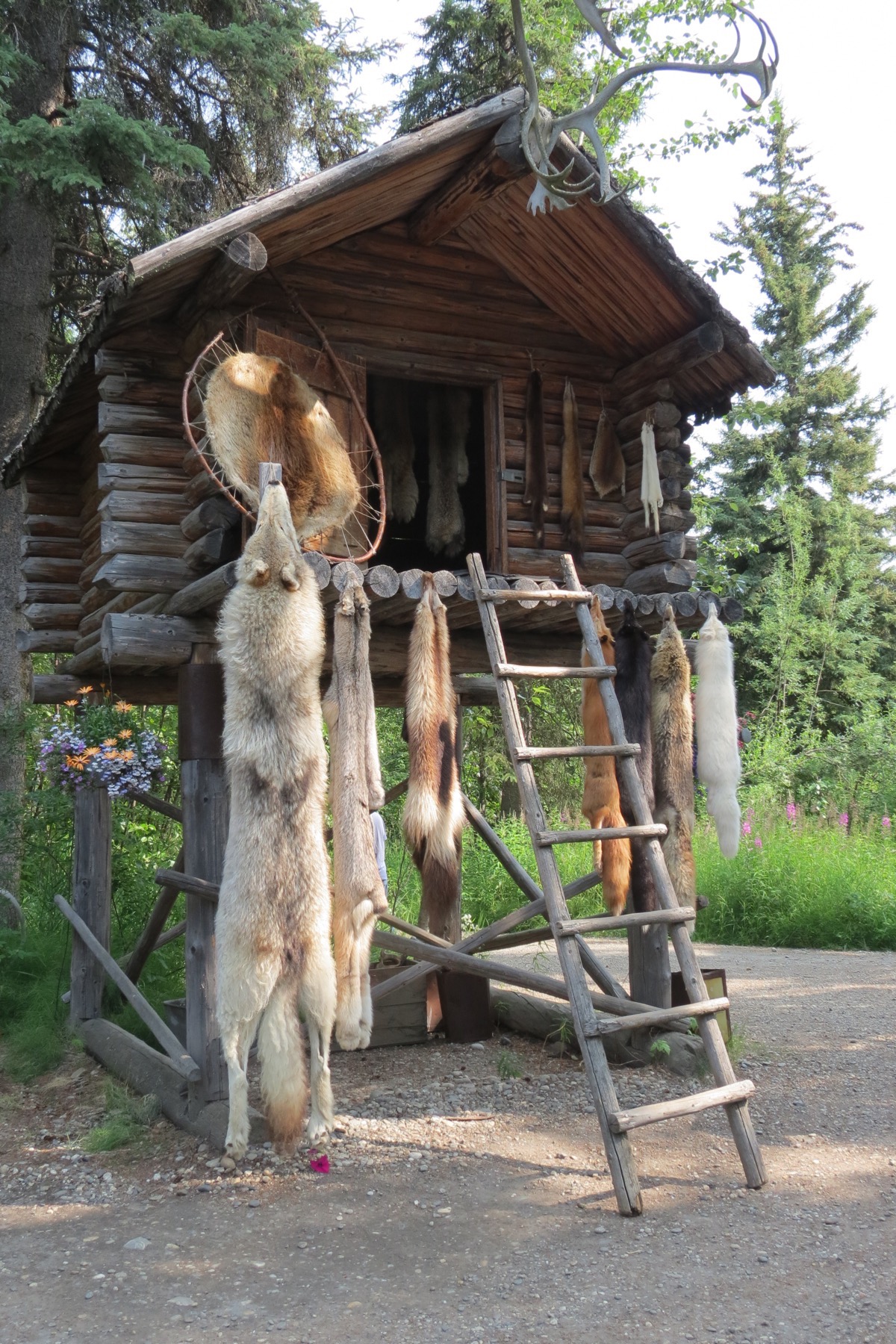
An Athabascan cache when their food and supplies were stored to keep them safe from animals.
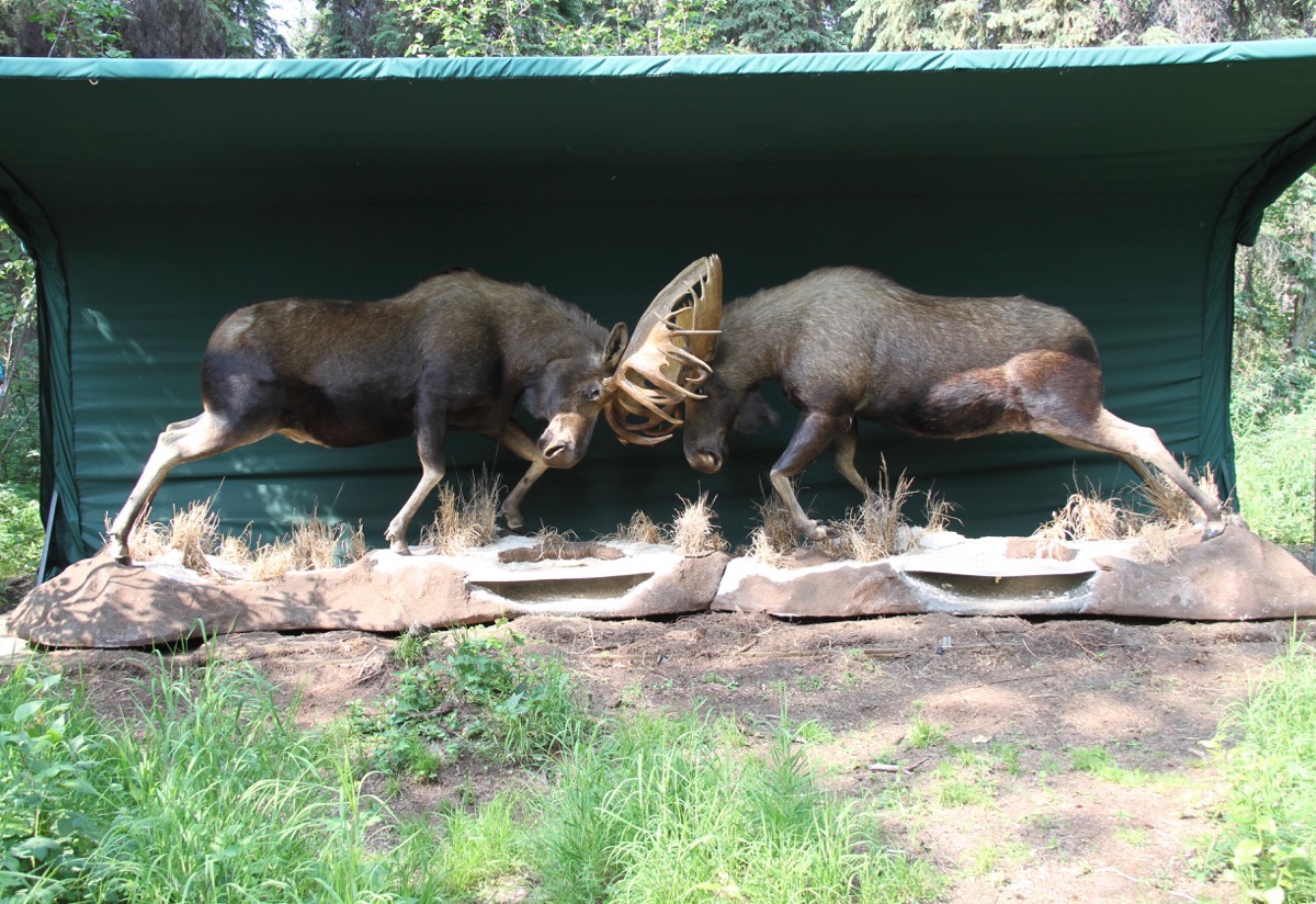
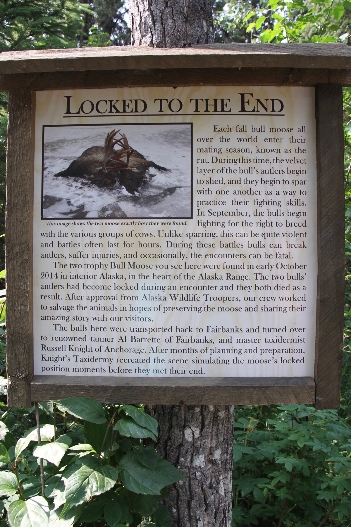
These two bull moose were found dead in 2014 with their antlers locked frozen to death in a body of water.
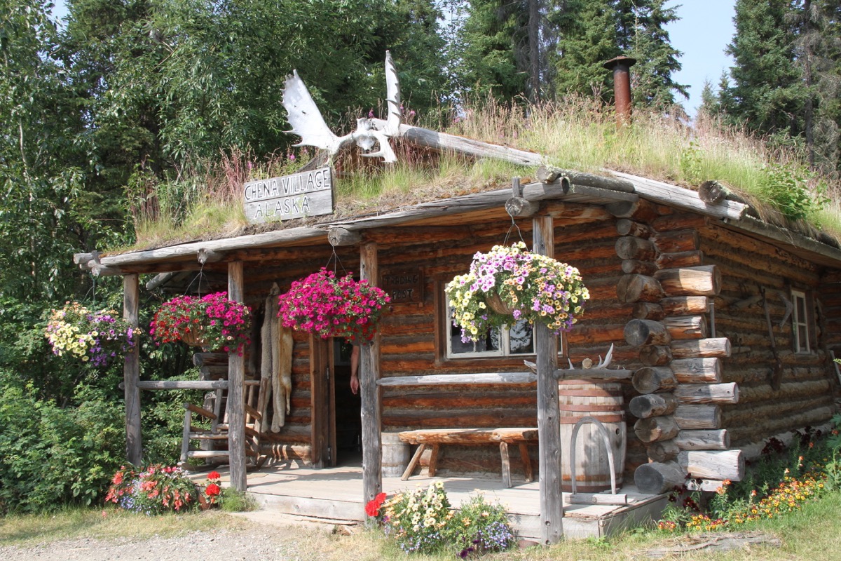
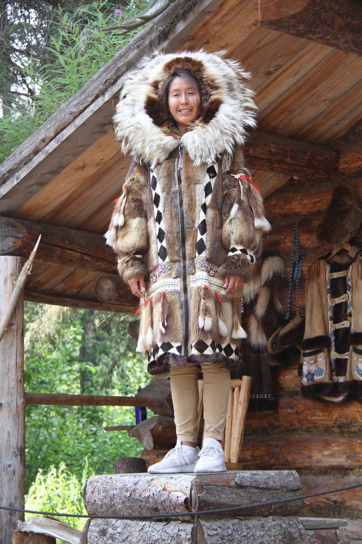
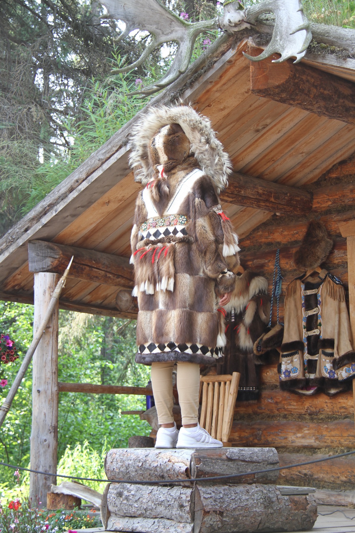
A model of an Athabascan home after the white men arrived, about 150 years ago. Before that time, the Athabascans were nomadic, living in six different locations, depending on the season.
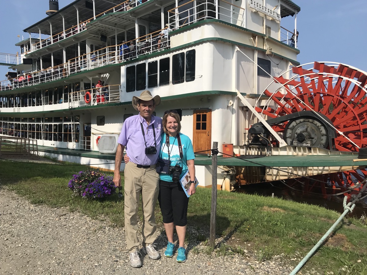
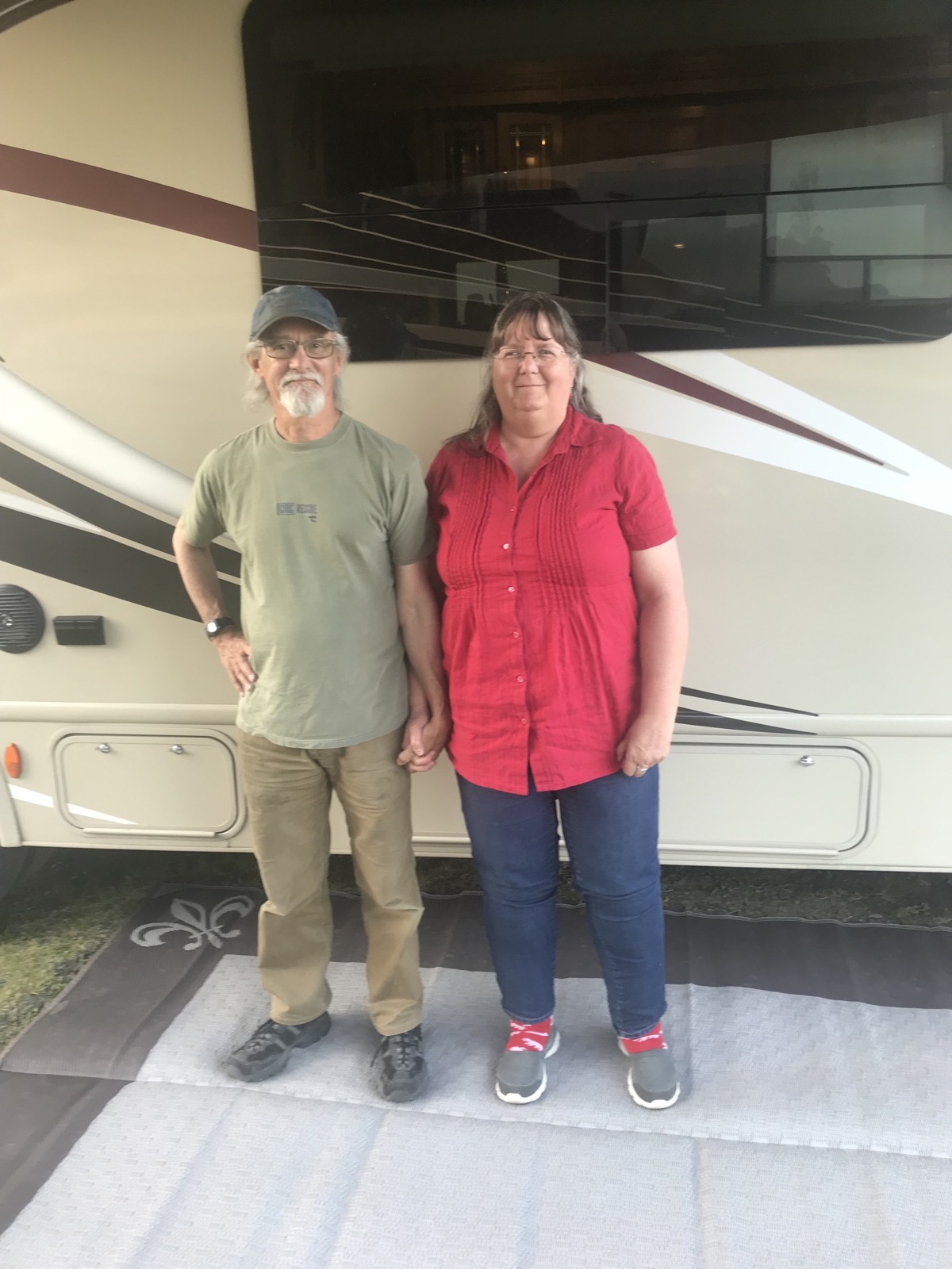
We had my longtime friend from Montgomery, WV Bob Carter and his wife Gladys for dinner and a nice visit after we got back to the camper. Bob just retired from being a Presbyterian minister in Alaska and is taking a tour before moving back to WV. We were staying in the same campground for two nights.
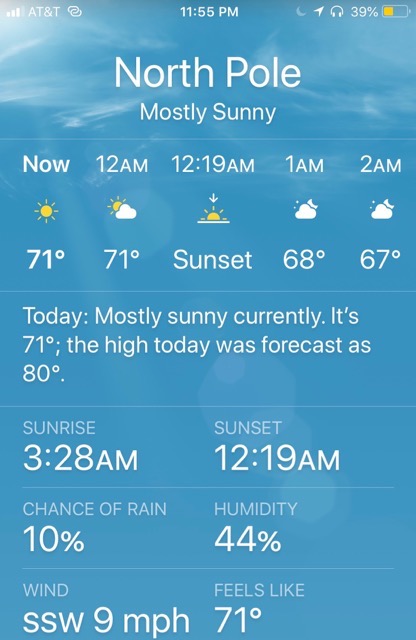
Notice the time stamp on this - 11:55PM (almost midnight)
Trip Statistics
- We drove 92 miles in the RV today and 29 in the Honda. Our total is 6,173.
- Riverview RV Park, North Pole, Alaska- $45.86 per night. Total is $1,178 or an average of $29.46 per night.
- Sunrise was at 3:28AM and Sunset will be at 12:19AM
-
Day 39 - Top of the World Highway
We set the alarm for 8:00am so we could get in line for the ferry to cross the Yukon River to leave Dawson City. Two days earlier the circus came to town and the wait was as long as six hours to make the crossing. Luckily, we were able to get on the ferry with no wait and rode across the Yukon River. We hitched the car to the motorhome on the other side and began today’s journey on the Top of the World Highway, an absolutely beautiful 108 mile drive was on a dirt rode that led to Chicken, Alaska.
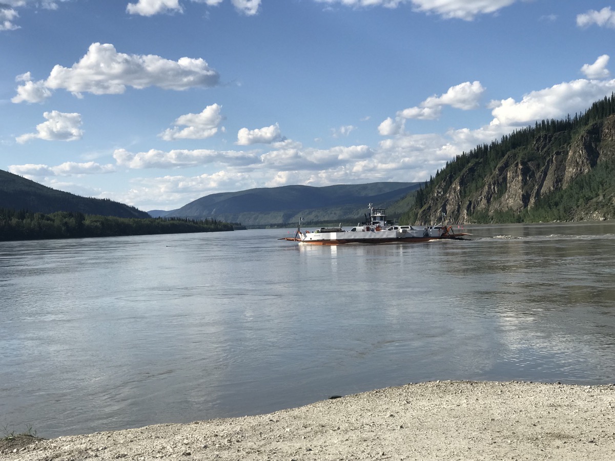
The small ferry that crosses the Yukon River to get to Top of the World Highway on the other side.
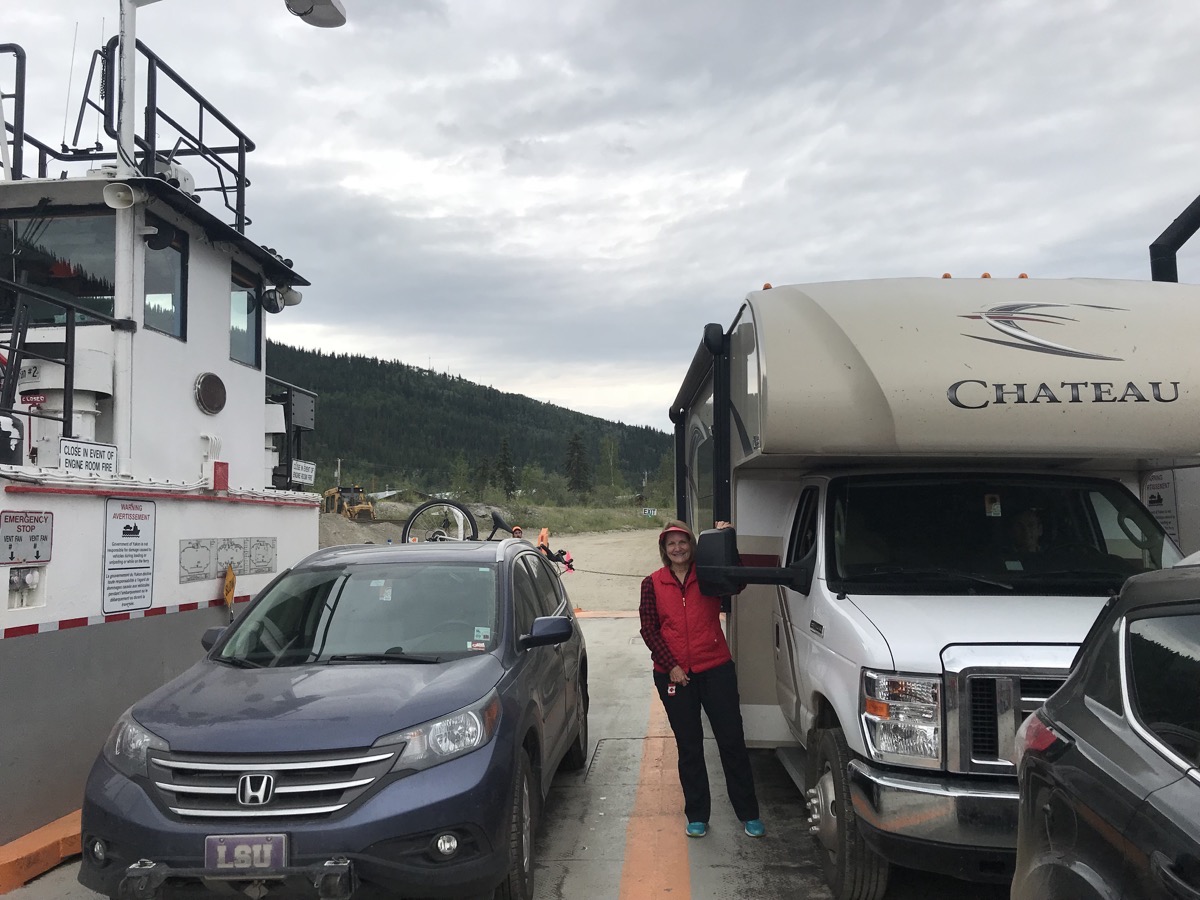
Our vehicles safely loaded onto the ferry for our ride across the Yukon River
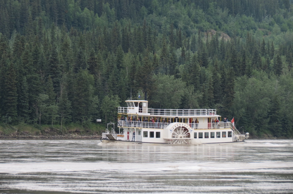
A paddlewheel boat navigated the river in front of us as we began the river crossing.
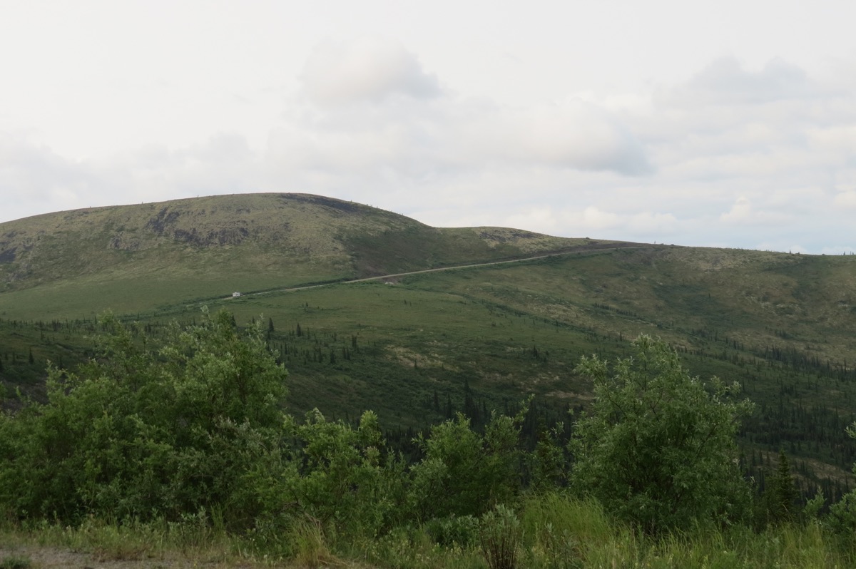
Top of the World Highway
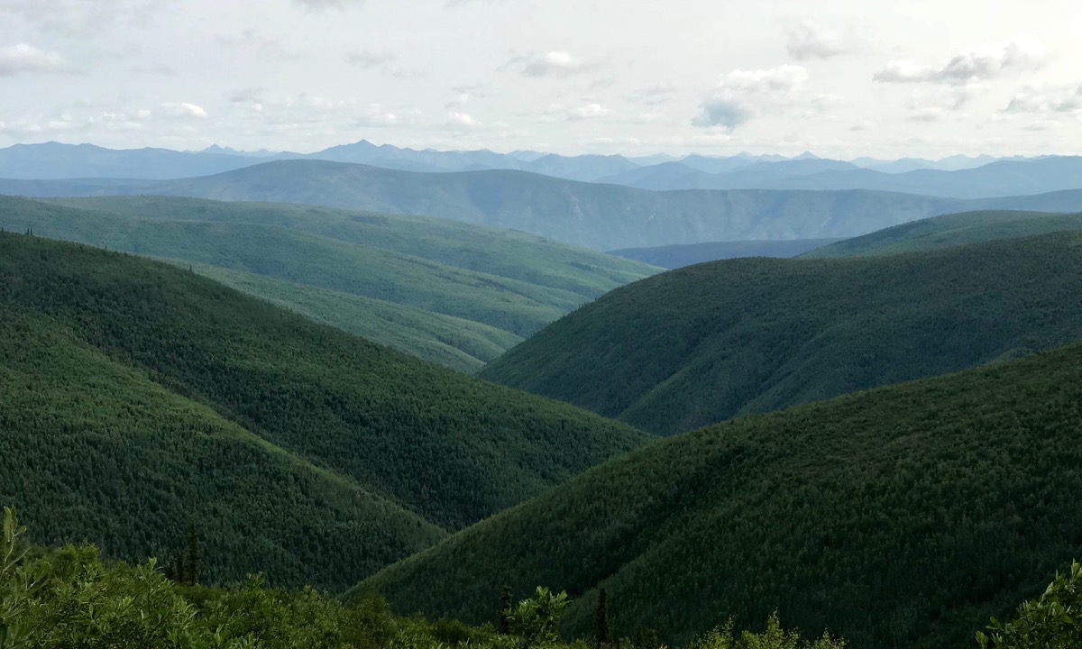
The highway was mostly a dirt and gravel highway for 108 miles, but the views were absolutely incredible. We enjoyed every mile of the drive!
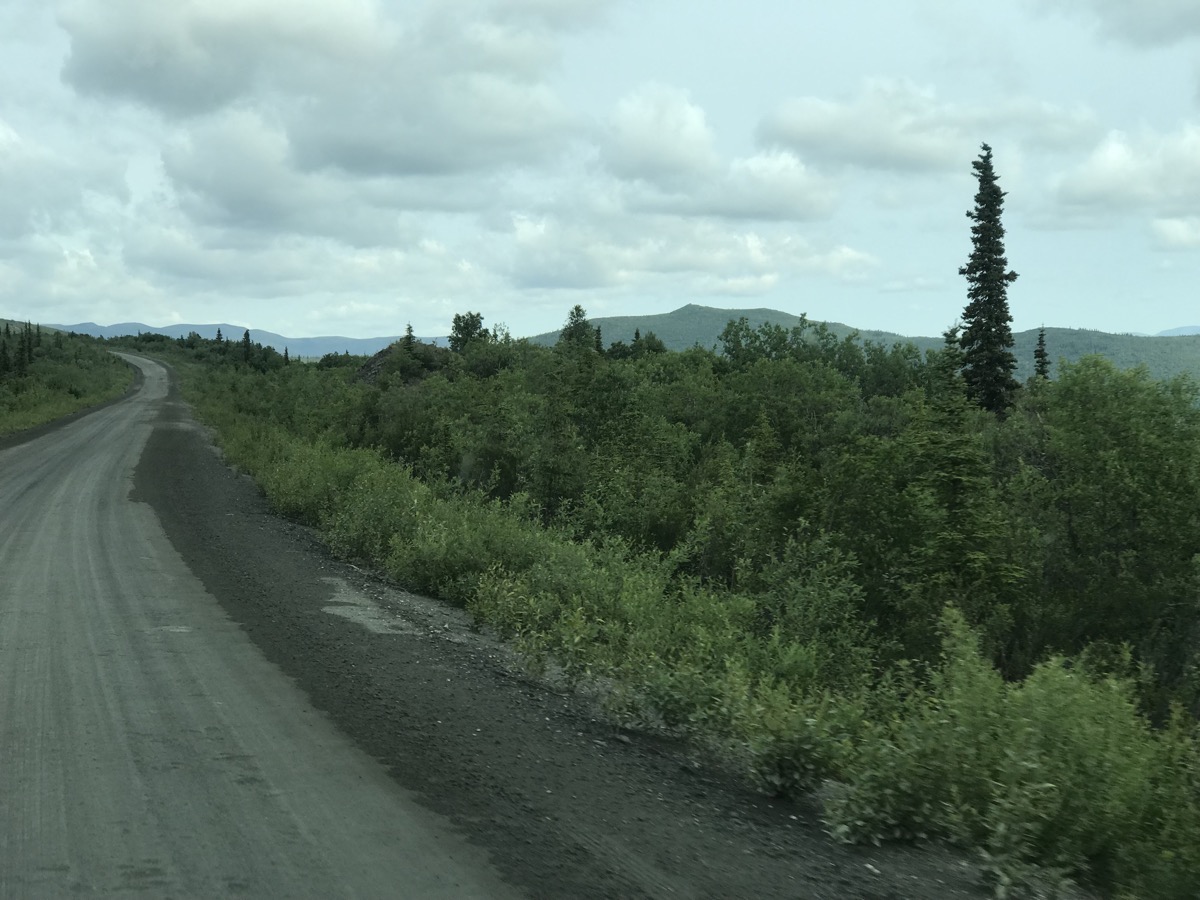
This is the beginning of the Top of the World (dirt) Highway
We are in the United States of America
After 65 miles on the dirt highway, we crossed the border into THE UNITED STATES OF AMERICA! For some mysterious reason for the first twelve miles in the US, the road was paved and in excellent condition. At mile 12 the road reverts to dirt and gravel and was in worse shape than on the Canadian side (which was in good shape—for dirt).
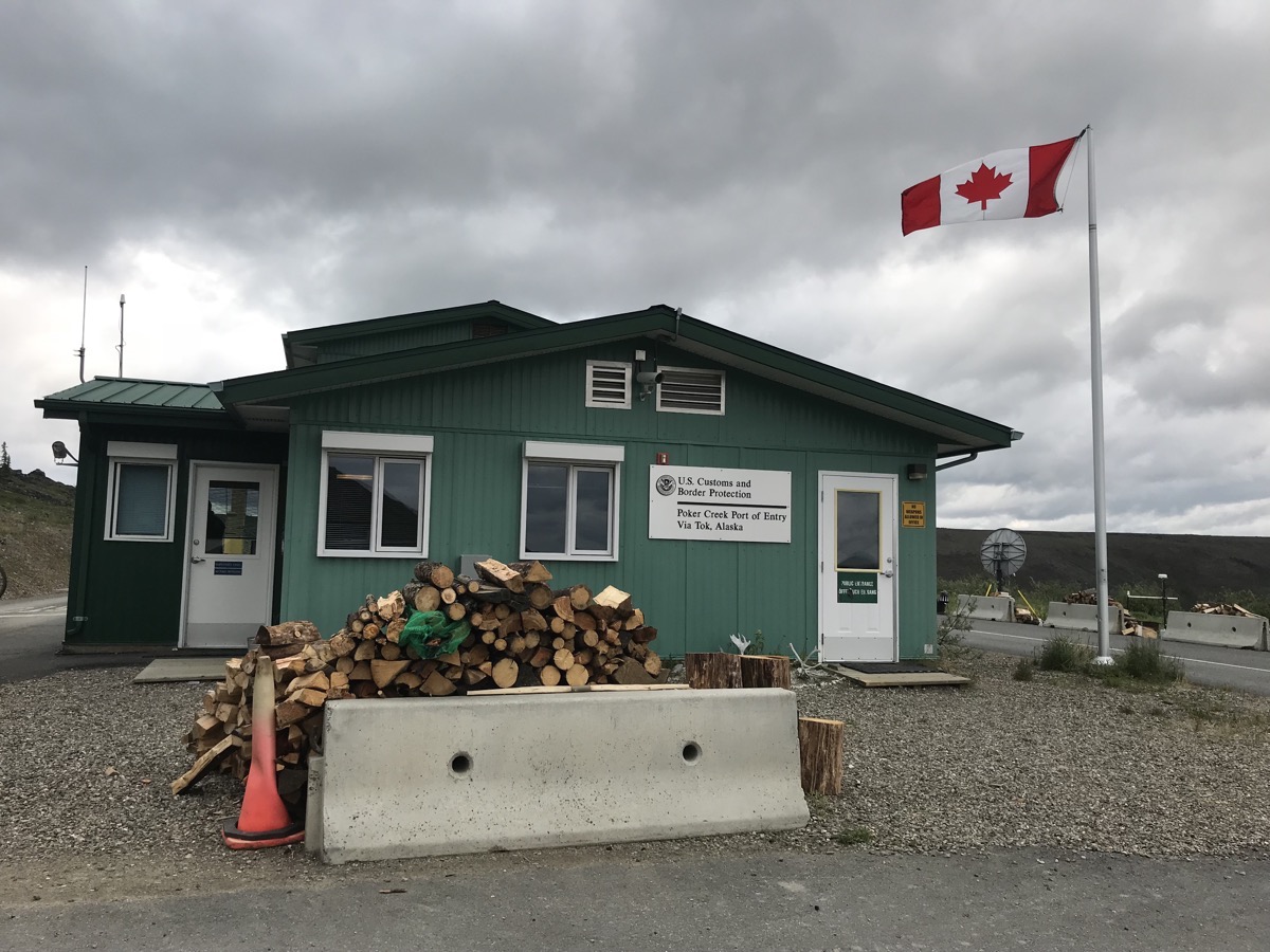 Our passports are taken and checked at the border and we answered the routine questions of “How many people in the vehicle? Do you have any drugs, firearms, alcohol or pets?” and we were on our way again.
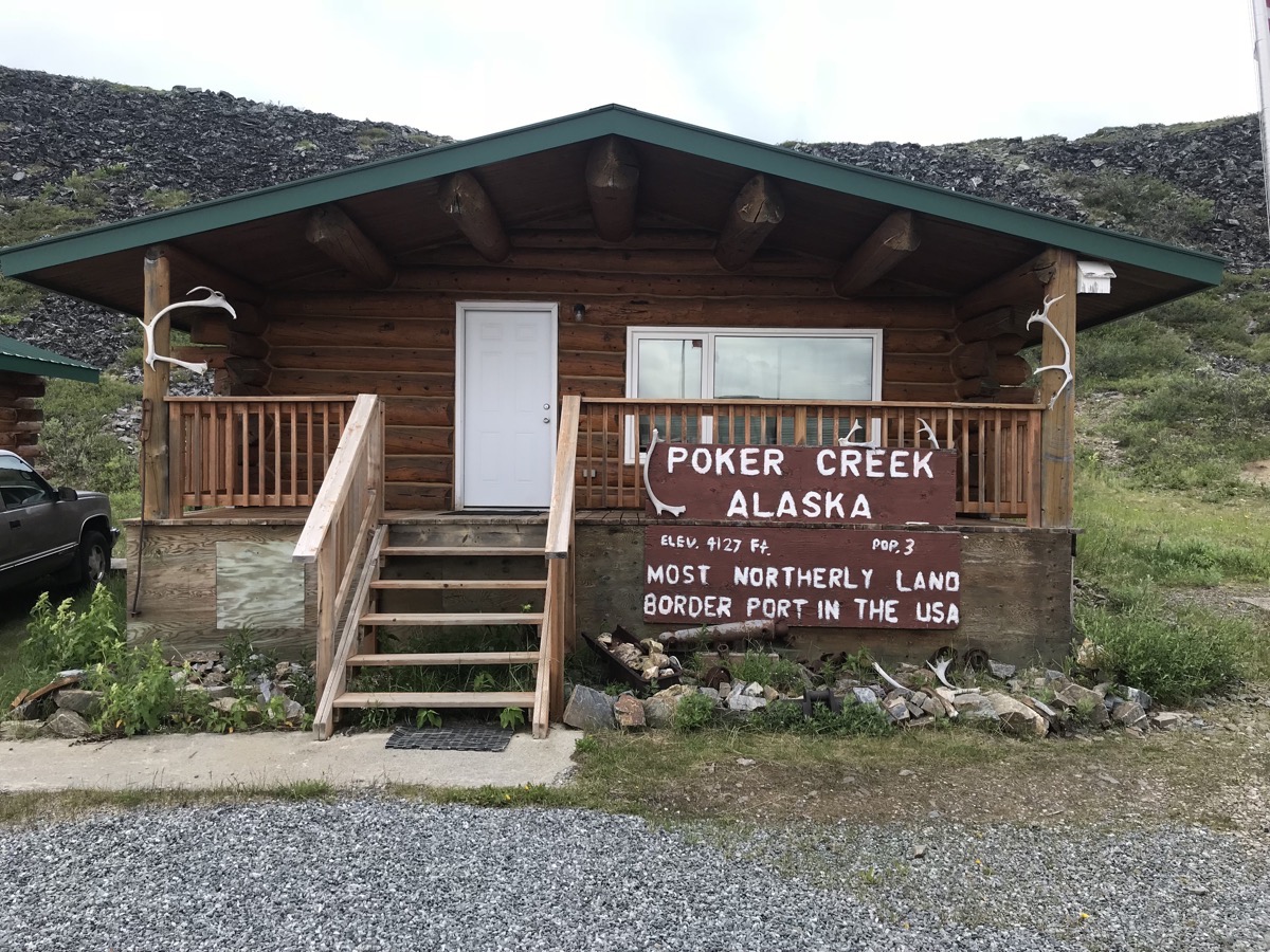
Poker Creek, Alaska —the most northerly land border in the USA
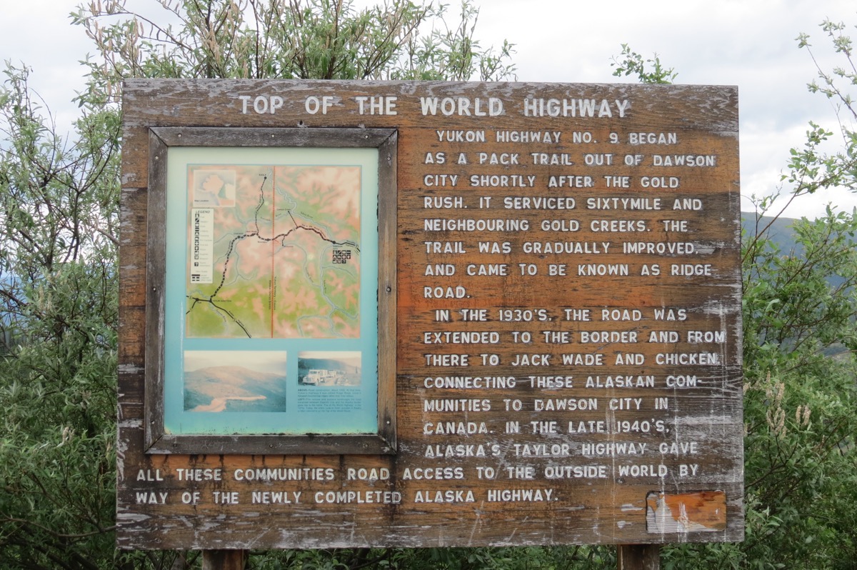
Chicken, Alaska
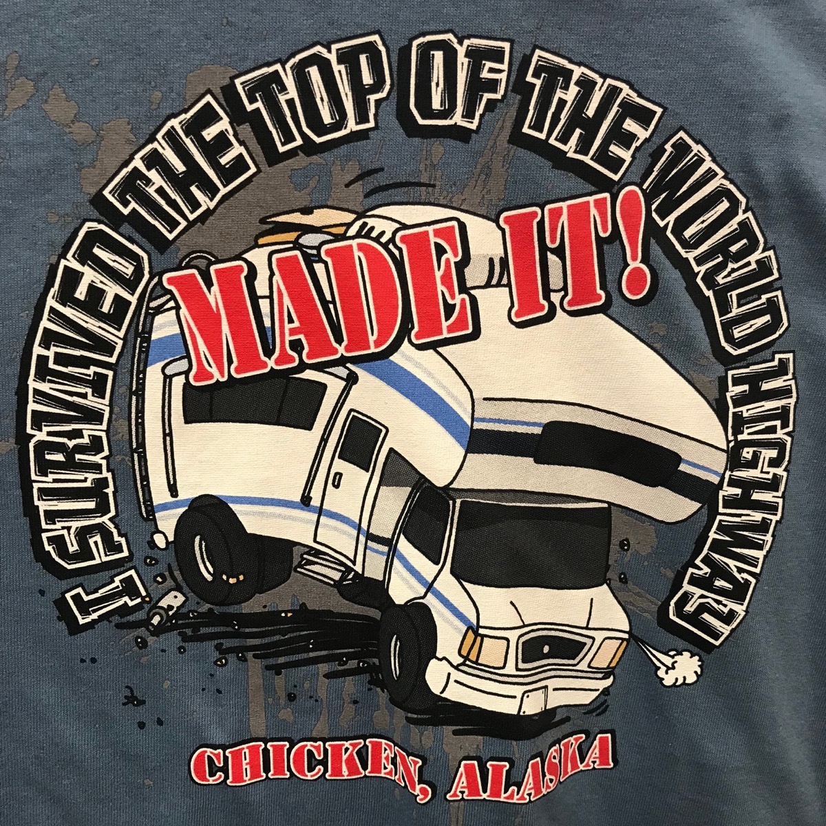
The population of Chicken is 7 in the winter and between 23-30 in the summer and is comprised of only three businesses: Downtown Chicken, Chicken Gold Camp and the Town of Chicken RV Park. It’s the first and only fuel stop since Dawson (108 miles) and Tok (78 miles). This is one of those “been there, done that” bucket list items, but no reason to stay for the night.
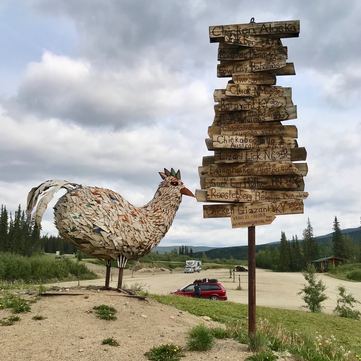
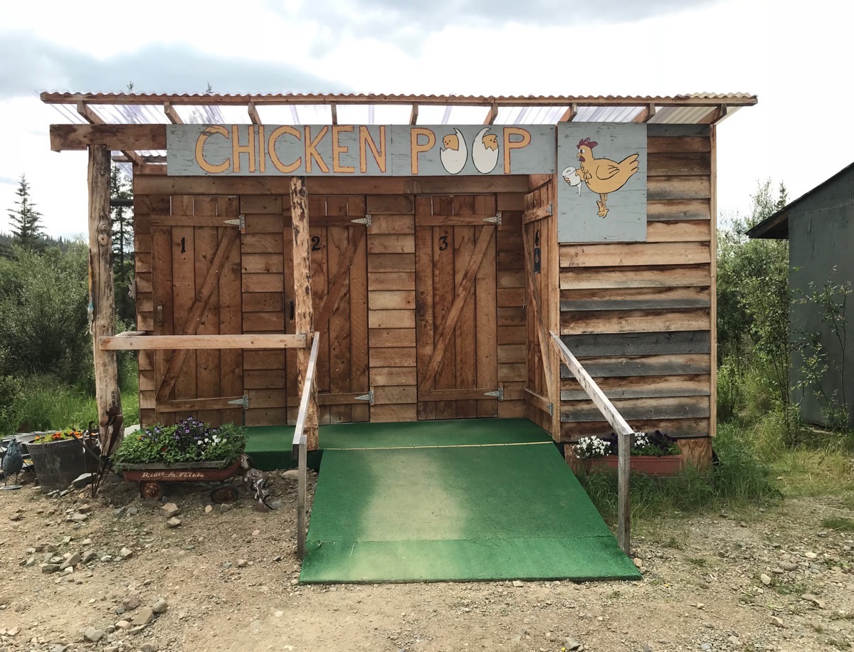
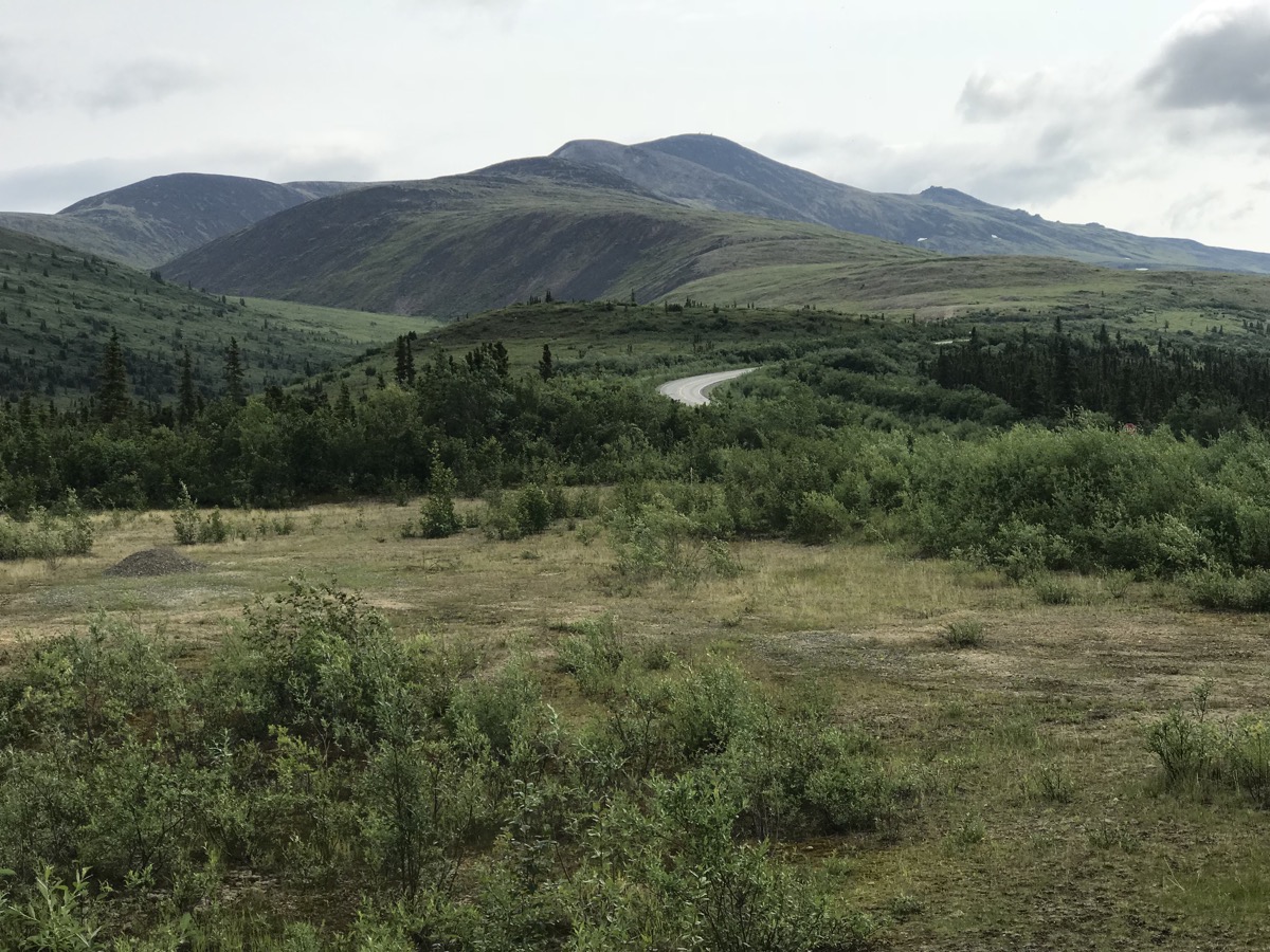
From Chicken we drove 78 miles of the Taylor Highway to Tok.
Tok, Alaska
Tok was a construction camp on the Alcan Highway in 1942. One of the largest such camps on the pioneer road, it was called the “Million Dollar Camp” a reference to the cost of maintaining the camp. Tok is the only town in Alaska that travelers must pass through twice: once when arriving into the state and once when leaving the state. Because Tok is the major overland point of entry to Alaska, it is primarily a service center for all kinds of transportation, especially for summer travelers coming up the Alaskan Highway. Tok is the “sled dog capital of Alaska.” because so many of the residents are involved with dogs and dog sledding, the official sport of Alaska.
We filled up with gas and the gas station offered free car washing , so we spent about 30 minutes getting the top ten layers of mud and dust off the car, motorhome, and bicycles, and then decided to head north to Delta Junction.
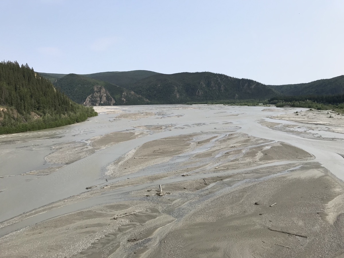
The rivers we have been crossing don’t have much water in them right now.
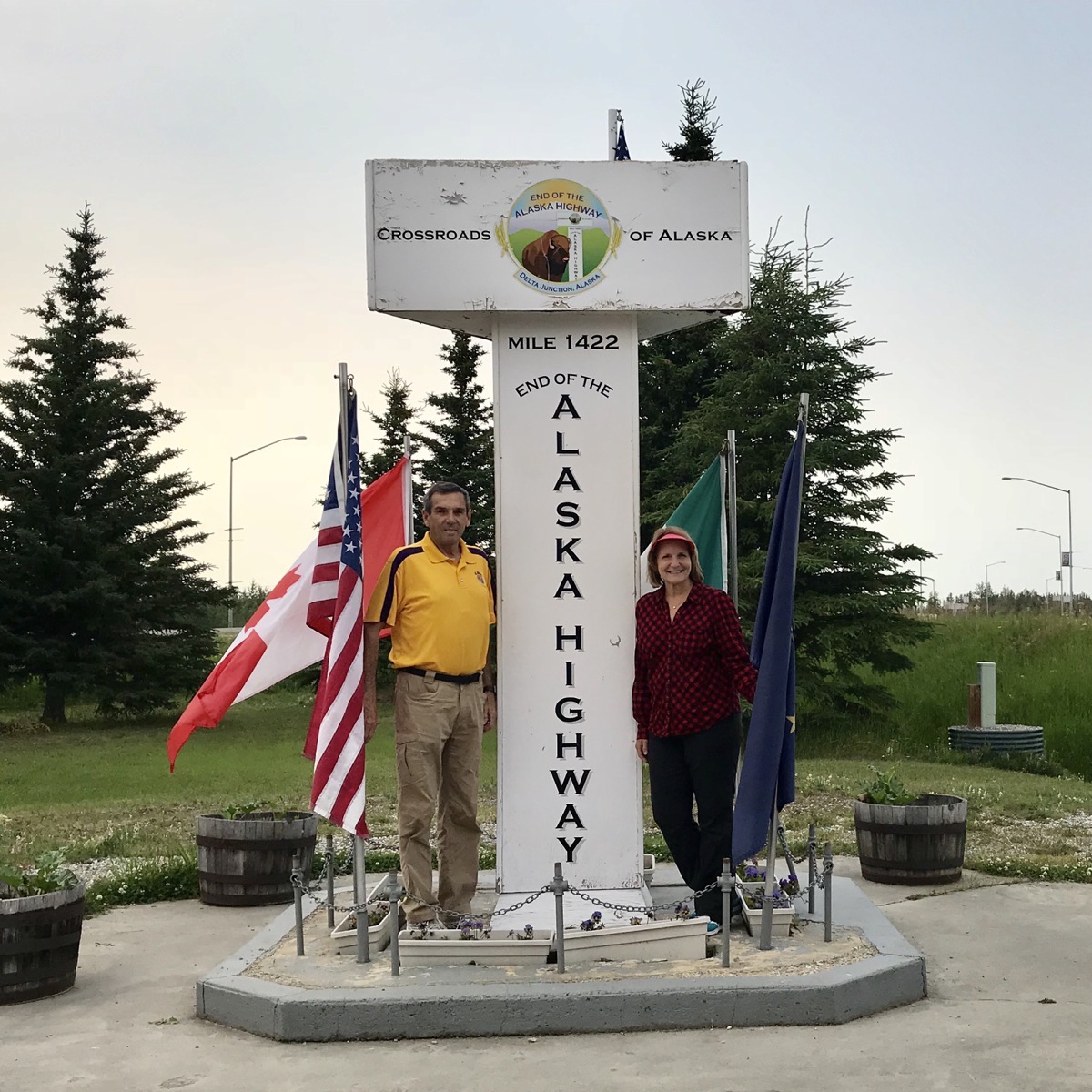
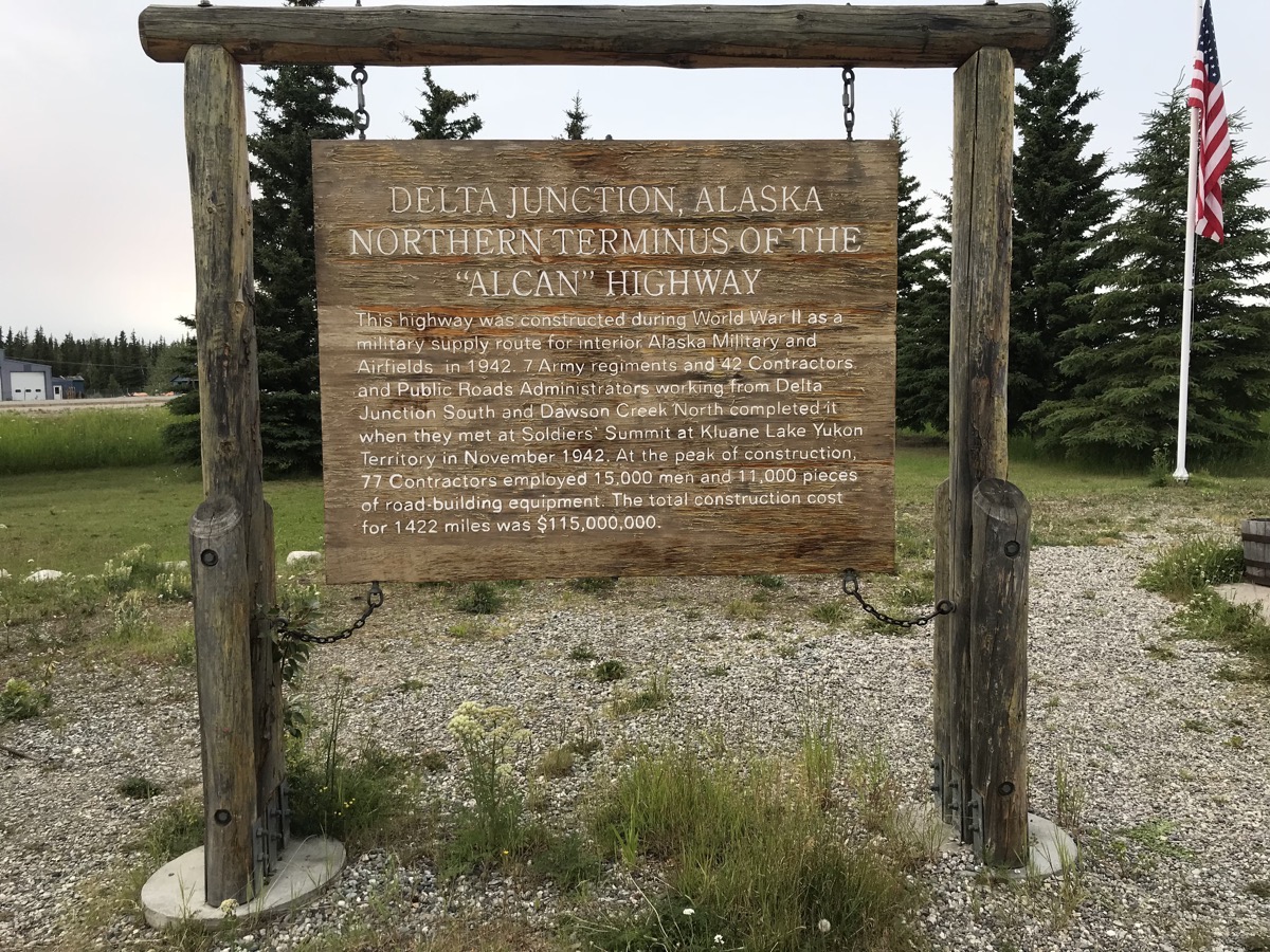
We reached the END of the Alaska Highway!
Trip Statistics
- We drove 300 miles today in the motorhome
- Gas was $4.29 a gallon in Dawson City and $3.50 a gallon in Tok, so we spent a total of $240 on gas today.
- We are spending the night at the Visitor’s Center in Delta Junction, Alaska for free.
- Sunrise this morning in Dawson Creek was at 4:09AM and sunset in Delta Junction will be at 11:57pm.
-
Day 38 - Dawson City
After our late night hike last night and the show at Diamond Tooth Gertie’s at midnight, we stayed in bed until almost 11:00am today!
Dawson City is an interesting city in that one third of the buildings are original, one third are newly built to look like they were original and one third are arrested decay. When the town is nothing but dirt streets, apparently they have to water them each morning to keep the dust down. There is absolutely no such thing as a clean vehicle up here. All the campers and cars are covered with dirt!
This morning we walked to the Jack London Museum where we learned about the author of “Call of the Wild’” short time in the Yukon.
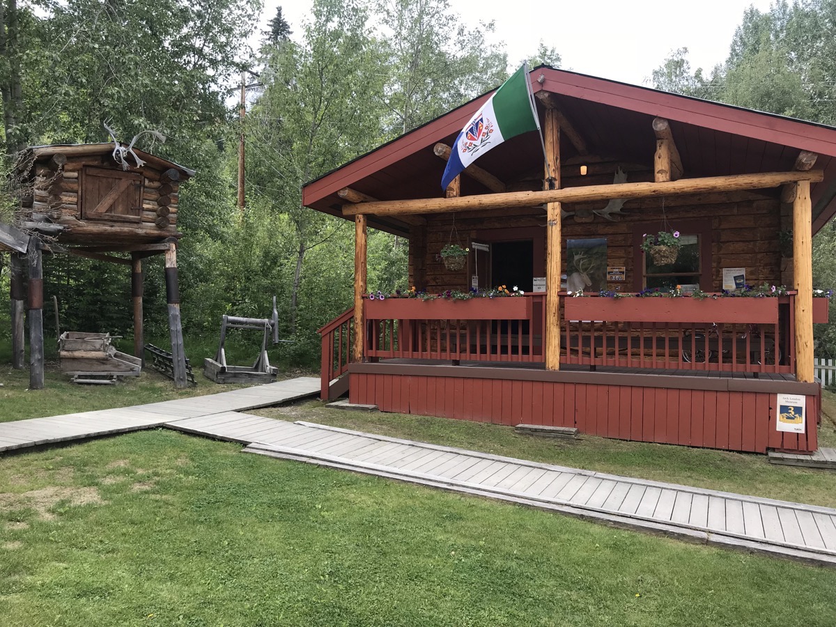 Jack London Museum
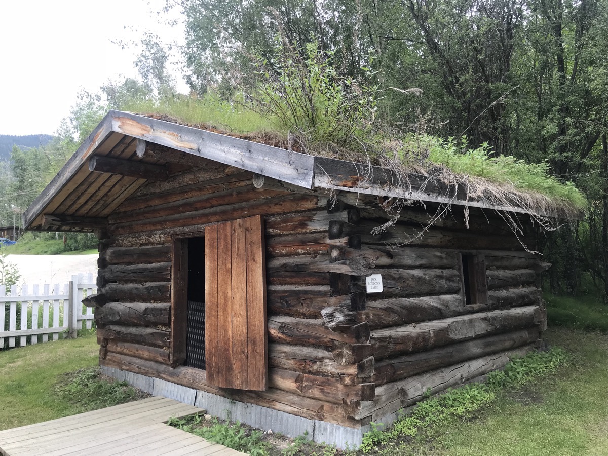
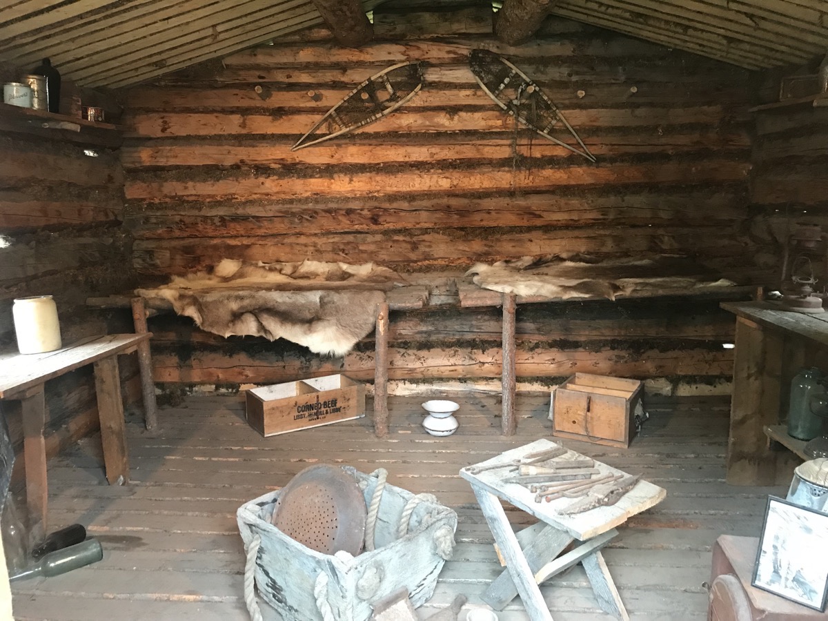
This cabin is built from half of the logs of London’s original cabin, which was located on the North Fork of Henderson Creek. The other half resides in London’s hometown of Oakland, CA.
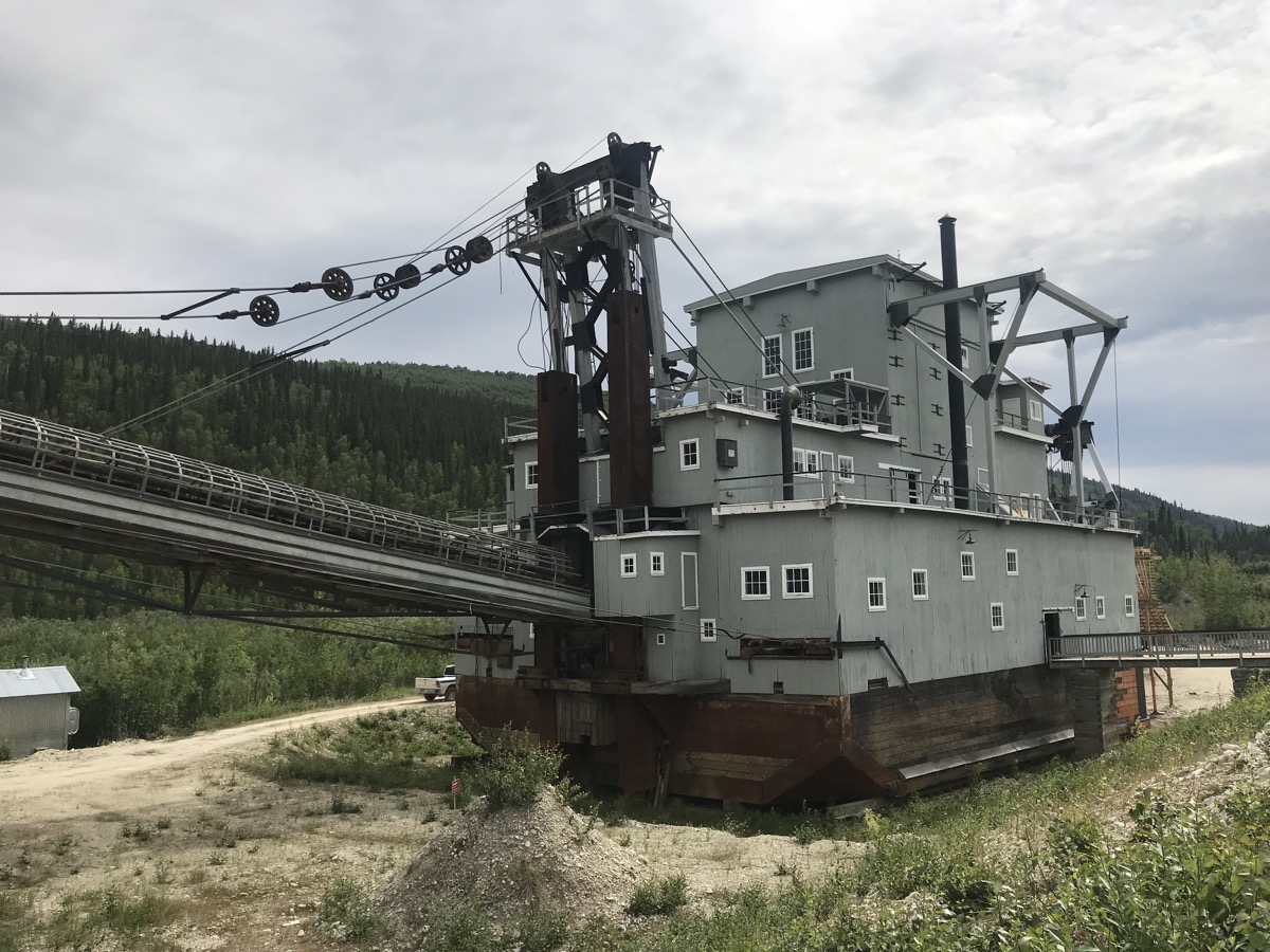
Dredge #4
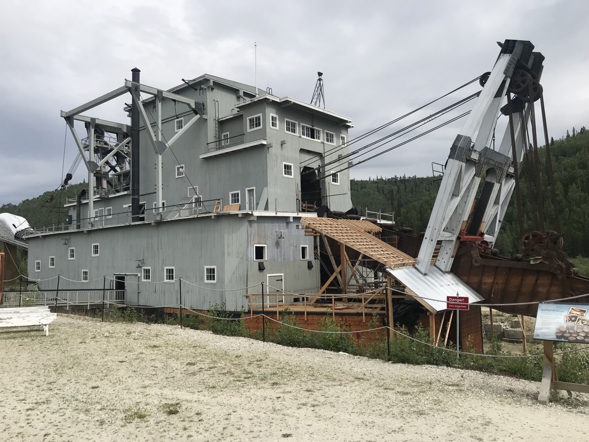
Dredges were floating gold-digging machines, and Dredge No.4 was the largest wooden-hulled dredge in North America. To get gold dust from the ground, the bucket line dug down to bedrock bringing gavel up to the hopper. Gold is heavy, so gravity sorted if from the water as it passed through the trammel and sluice.
The dredge moved along in a pond of its own making, digging gold bearing gravel at a rate of 22 buckets per minute. It would operate for 24 hours a day for a season of approx 200 days, April – November, depending on the weather. Though only moving forward a half mile per season, it unearthed nine tons of gold, grossing 8.6 million dollars over 46 years. On its best day, it unearthed over 800 ounces.
It only took a crew of four to operate the dredge, but 150 other men were needed to prepare the grounds to allow the dredge to move forward.
Closed doors tour
Late this afternoon we took an inside tour of the town led by someone from the Canadian Park Service. He took us inside buildings that are normally closed to the public. We went inside the original newspaper building (The Daily Post) and saw all the equipment and typesets used around the 1900s and the old post office where we able to see the original mailbags, post office boxes and artifacts. Our final destination was a building where old articles are archived and stored. Interesting tour!
Can you guess what business used these?
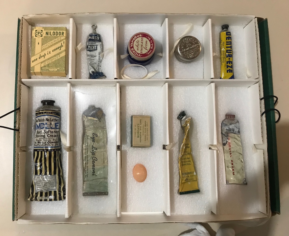
The mortician!
Trip Statistics
- We drove 20 miles in the Honda and are now are at 5,756 miles total for the trip.
- Stayed at the Goldrush RV Park $40.22 USD ($53 CAN)
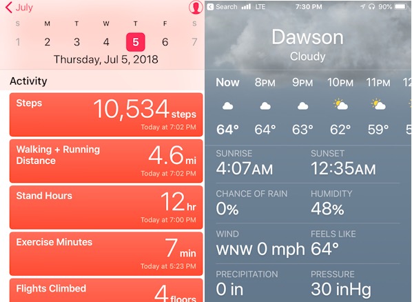
- Sunrise 4:07AM; Sunset 12:35
-
Day 37 - Dawson City, Yukon
Happy Fourth of July! Here we are in Canada missing the 4th of July in the USA, and on Canada Day (July 1), we were on the White Pass Railroad headed for the USA where we spent a couple of hours in Skagway, AK. We missed the celebrations in both countries.
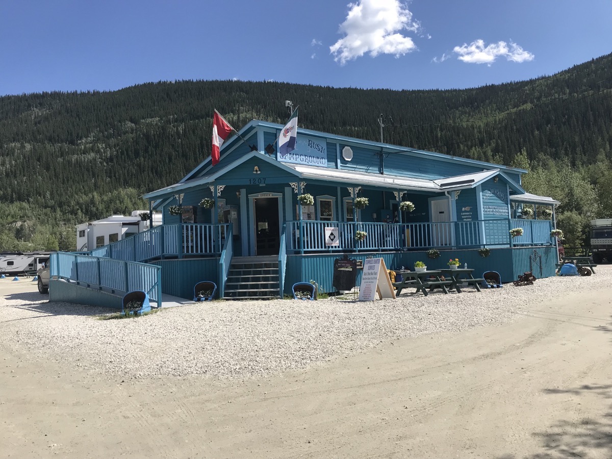
The Goldrush RV Park is the only park within the city limits. It’s only a few blocks walk to every where in town.
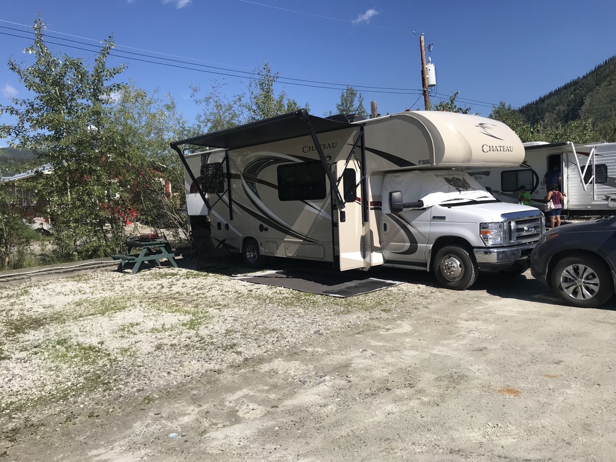
Right now there is no one in the spaces on either side of us, but by night we will all be packed in here like sardines.
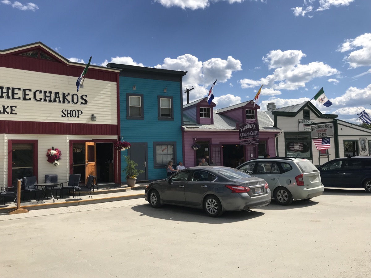
Dawson City has a population of 1,879 and was the fist capital when the Yukon became a separate territory. Today, 120 years later, the town still has dirt streets and wooden sidewalks. Some of the buildings are the original ones that have been stabilized and restored. Many of the buildings are new construction built to look like they were original.
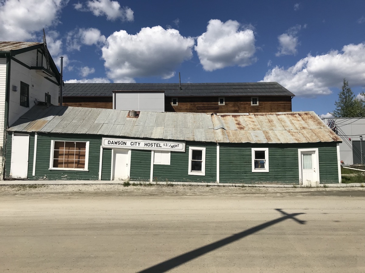
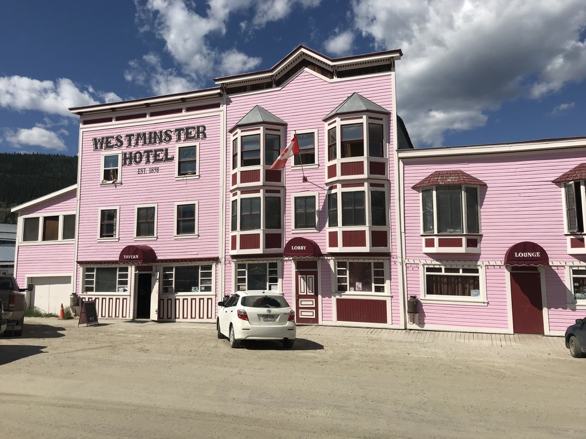
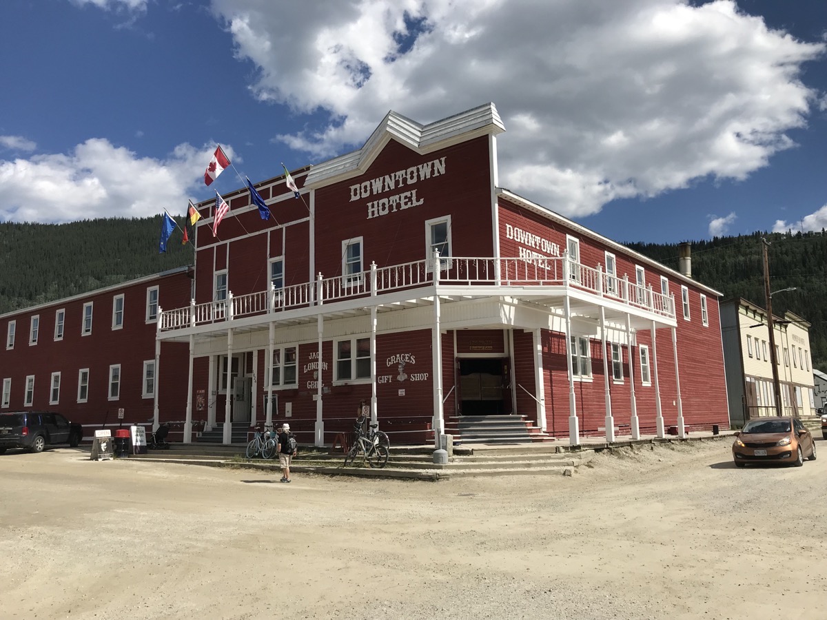
Commissioner’s Residence
We walked to the Commissioner’s Residence where we toured the house and saw three vignettes of life during the Goldrush days. A huge influx of stampeders raced to the Klondike after gold was discovered in 1896, leading the government of Canada to create the Yukon Territory in 1898 and send a commissioner to Dawson City to take charge. The best known was George Black, who with his wife Martha, lived in the residence from 1912 to 1916. The Blacks were favorites because they were considered real “Sourdoughs”, having trekked over the Chillkoot Trail.
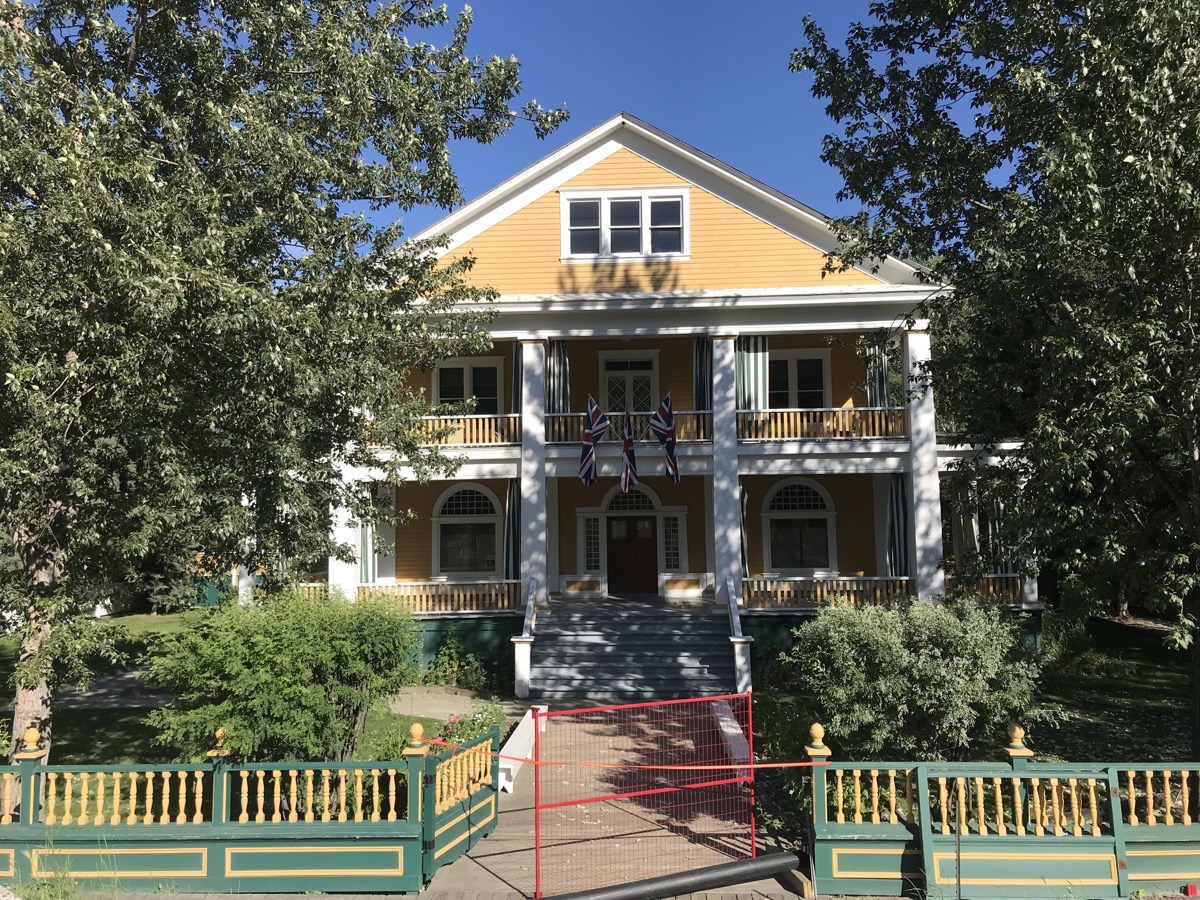 This was once the Commissior’s residence when Dawson City was the center of all the Yukon.
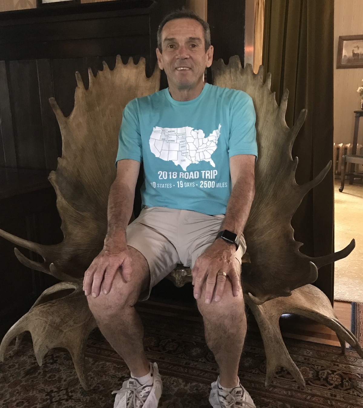
Check out this chair made from moose antlers!
Palace Grand Theatre
After lunch we walked to Palace Grand Theatre where we watched a presentation of Who is the Best Klondike?
The Midnight Dome
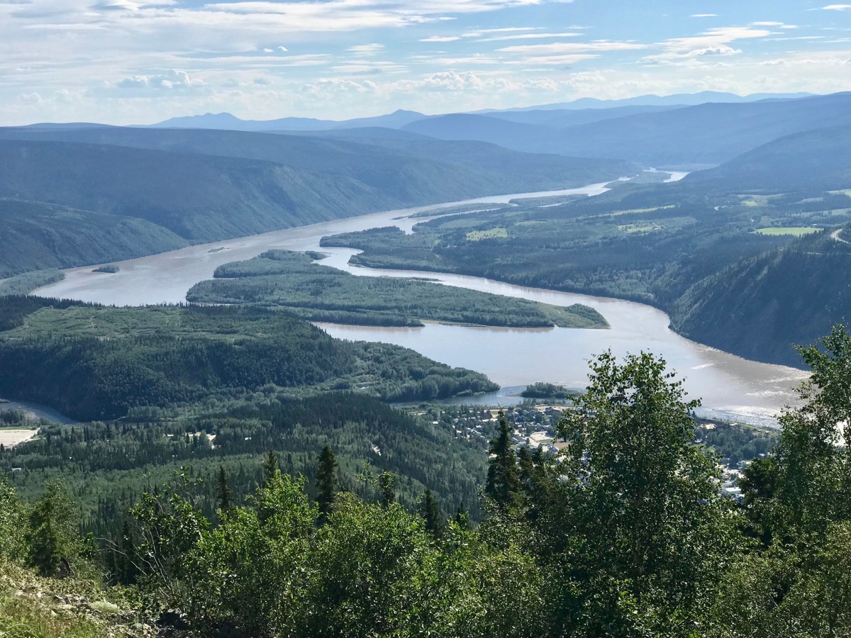
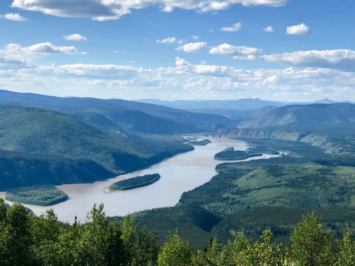
The views from the Midnight Dome
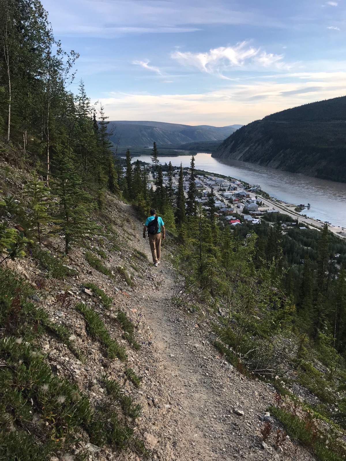
At 9:30 PM we decided to hike up the mountain. We hiked 1.1 miles up a very steep trail and 3/4 the way across the ancient rock slide when we decided to turn around and come down. Coming down was much scarier than going up!
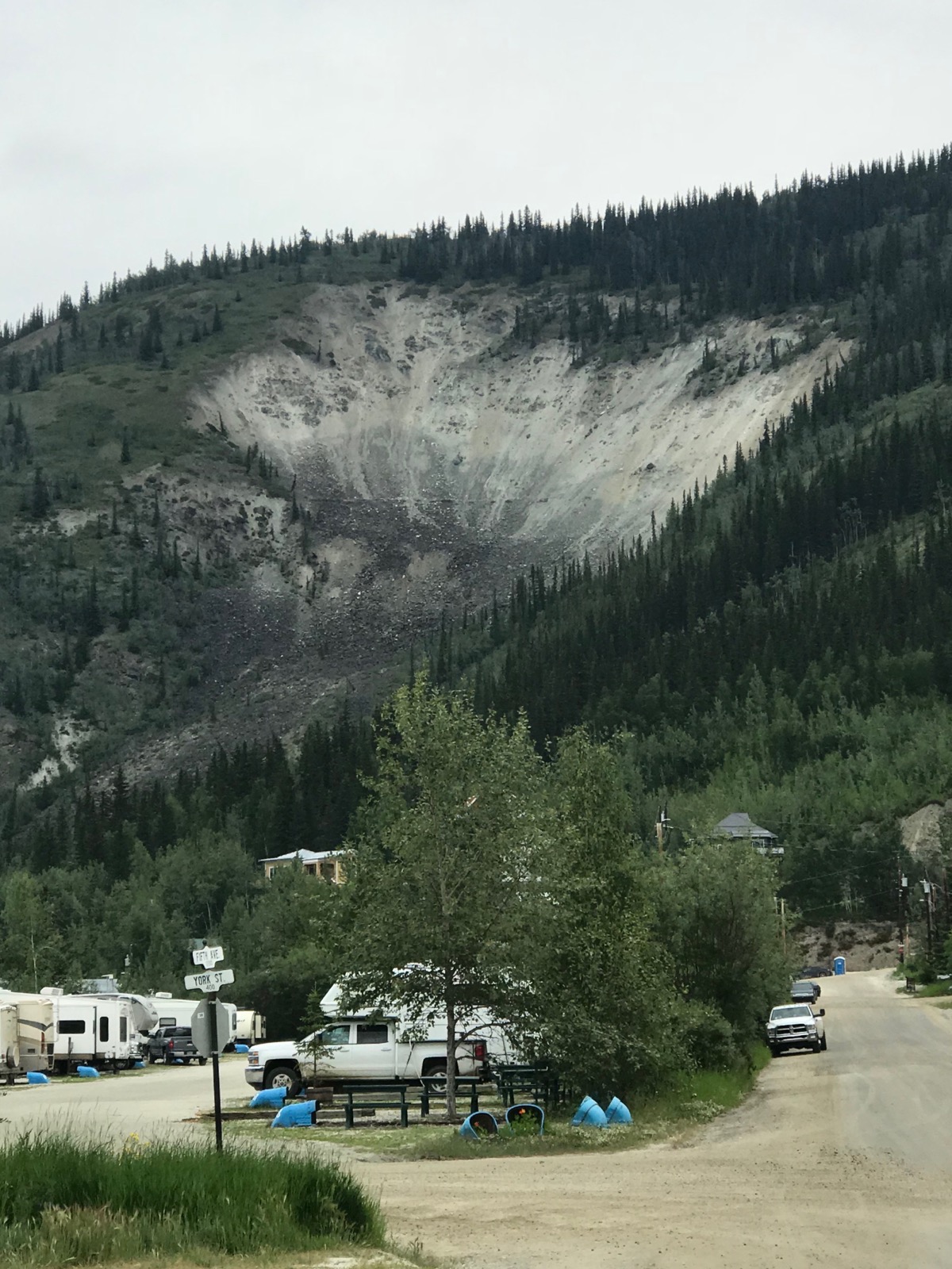
We hiked across this ancient rock slide
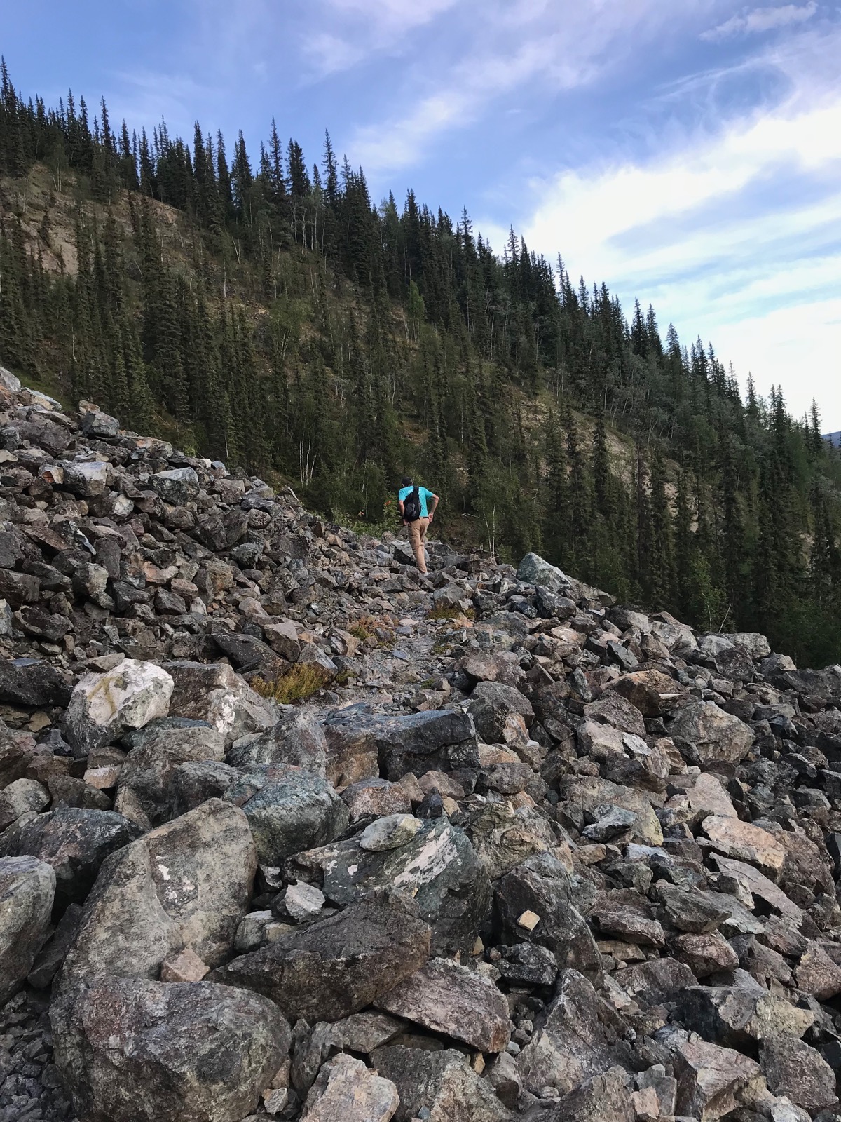
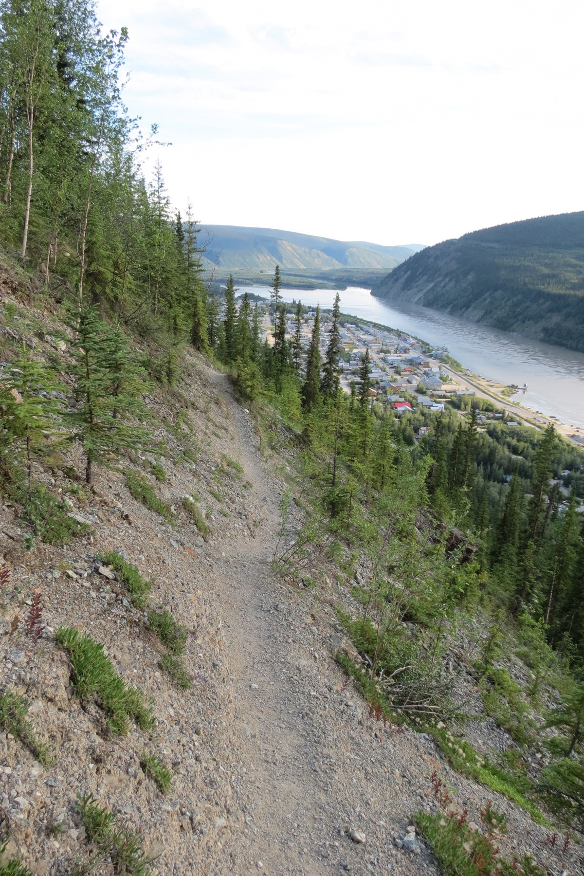
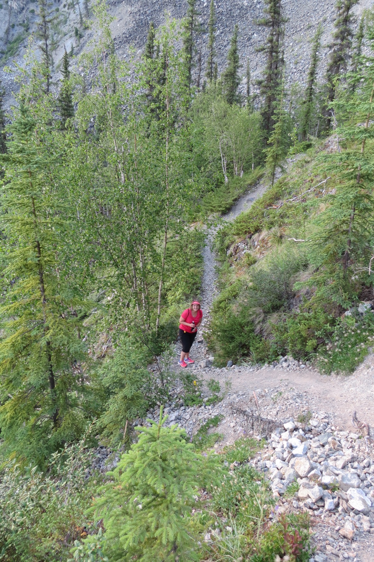
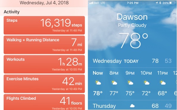
Our final foley for today was the midnight show at Diamond Tooth Gertie’s. We walked back to the camper afterwards, which was about 12:45AM.
Trip Statistics
We drove 21 miles in the Honda and none in the motorhome today, for a total of 5,736 miles so far.
We are staying at the Goldrush RV Park in downtown Dawson City - $53.00CAN or $40.22 USD
Sunrise this morning was at 4:05AM and sunset was at 12:39AM
Goldrush Campground in Dawson City
-
Day 36 - Whitehorse to Dawson City, Yukon
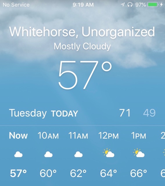
It was a beautiful day and 57 degrees when we left Tahkinia Hot Springs Campground to start our drive on the Klondike Highway to Dawson City. It’s amazing how wonderful temperatures in the mid 50’s feel when the sun is out.
After driving the first 103 miles, we stopped in Carmacks and walked 2.5 miles on the city’s boardwalk along the Yukon river.
Our next stop, not too far from Carmacks, was at the Five Fingers Overlook so named for the 5 channels, or fingers, formed by rock pillars in the Yukon River. It was a navigational hazard back when there was steamer traffic on the river and the safest passage was through the channel closest to the overlook. We just stopped long enough for a photo and passed up the opportunity to walk down the approximately 220 steps to get to the lower point for viewing the rapids.
After driving another 107 miles, we stopped at the Moose Creek Lodge. I had a delicious rhubarb tart and then we finished the final 95 miles into Dawson City where we are staying for the next three days.
In Dawson City we walked a few blocks from the campground and ate dinner at Jack London’s where I had a delicious bison pop pie and salad. Afterwards, we went to a music and can can show at Diamond Tooth Gertie’s.
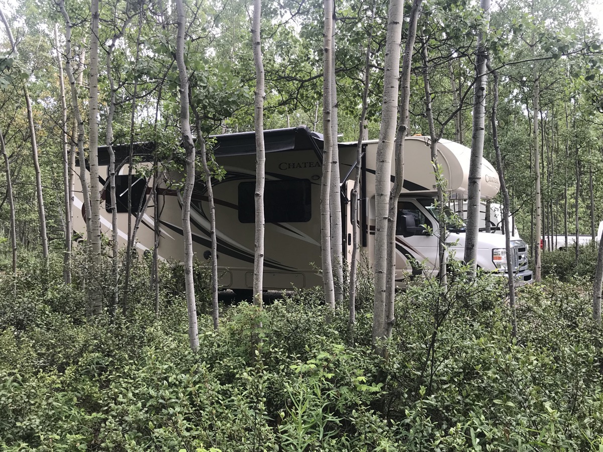
Our campsite at the Tahkini Hot Springs Campground
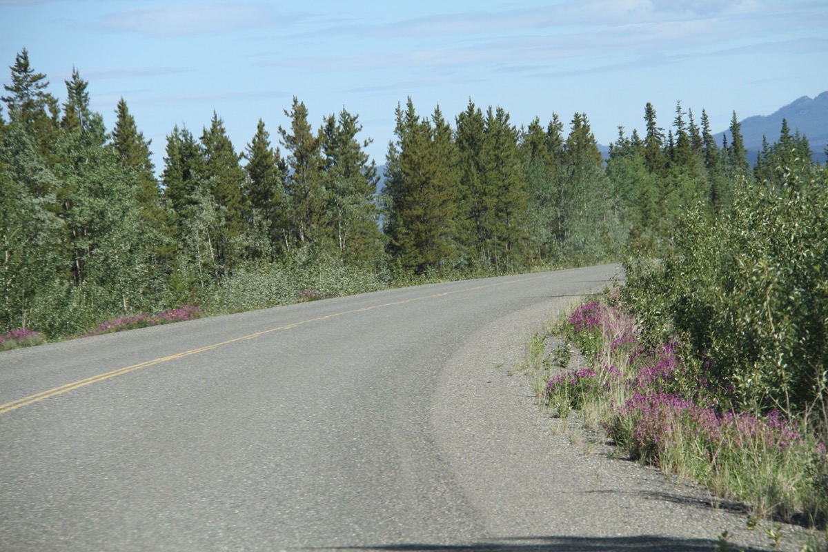
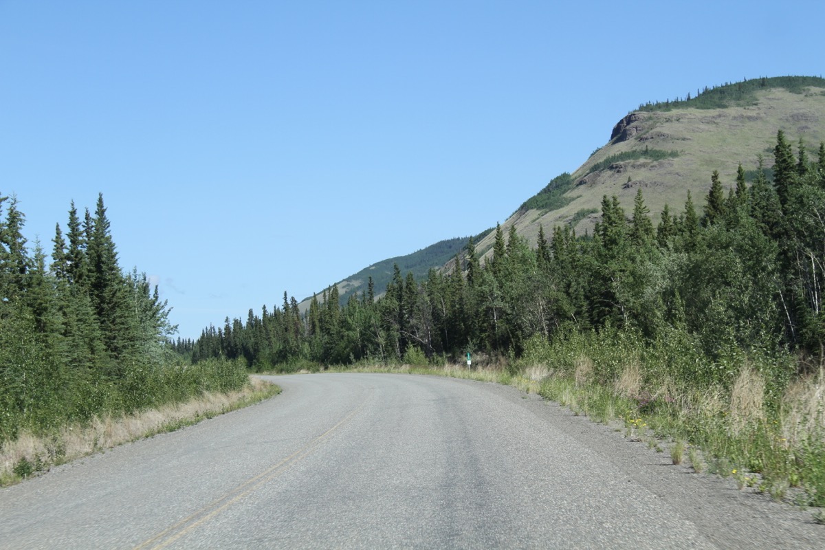
Views along the Klondike Highway
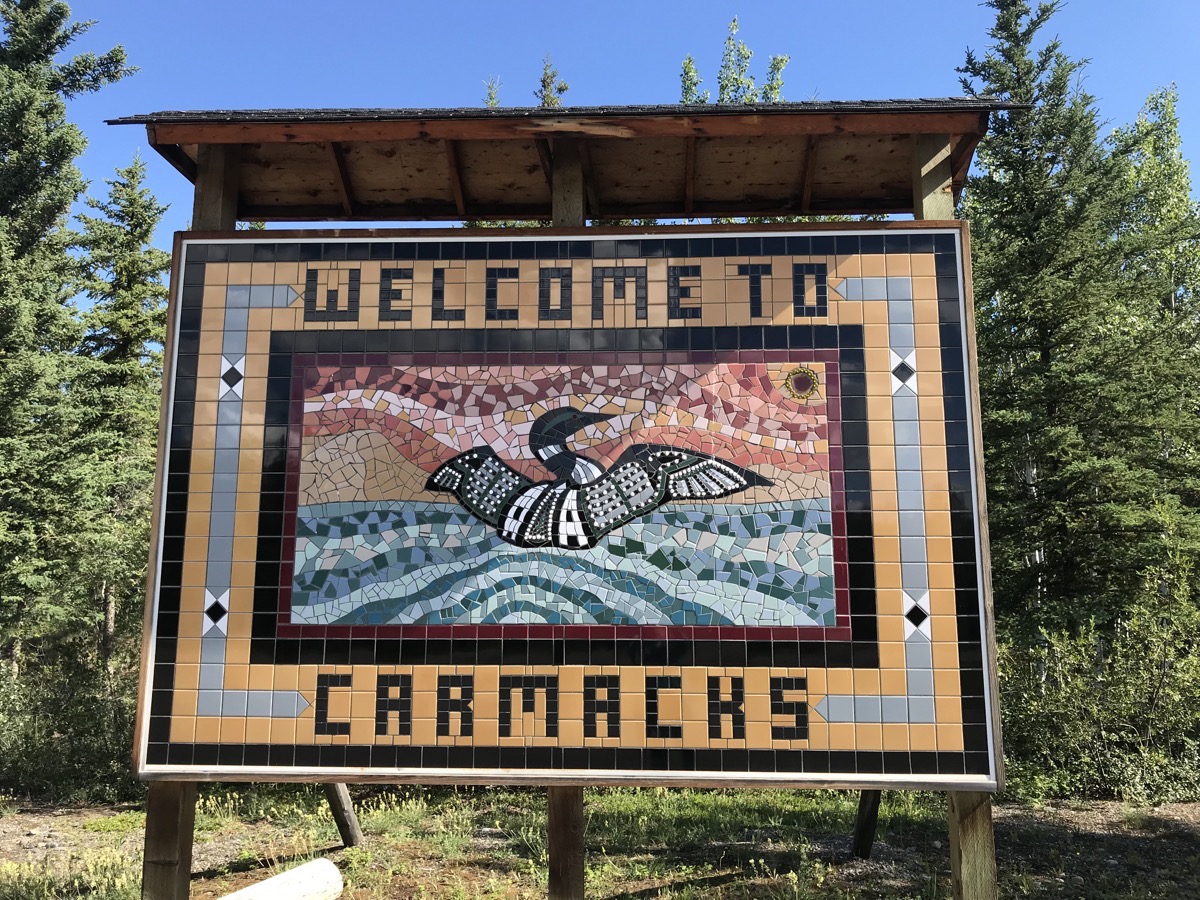
Carmacks has a population of 539 and is located on the Yukon River, the only bridge crossing the river between Whitehorse and Dawson City. Carmacks was once an important stop for Yukon River steamers between Whitehorse and Dawson City. It has survived as a service stop for travelers traveling along the highway.
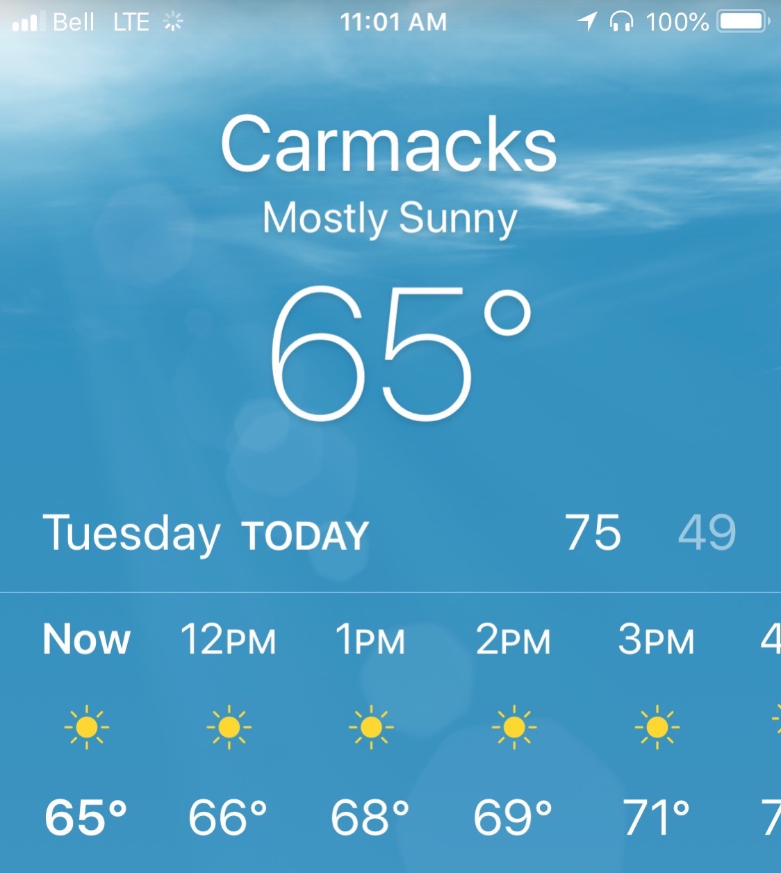
It was a beautiful day in Carmacks!
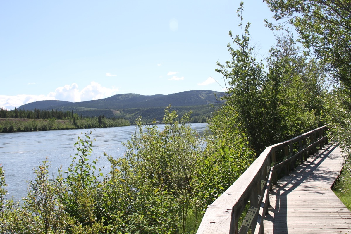
We walked on the boardwalk along the Yukon River
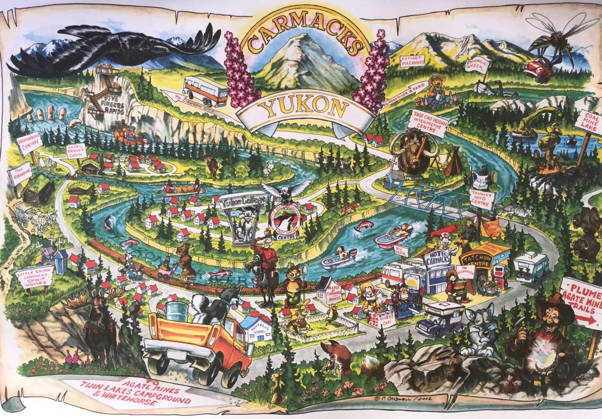
Colorful illustration that makes the town look more fascinating than it really is!
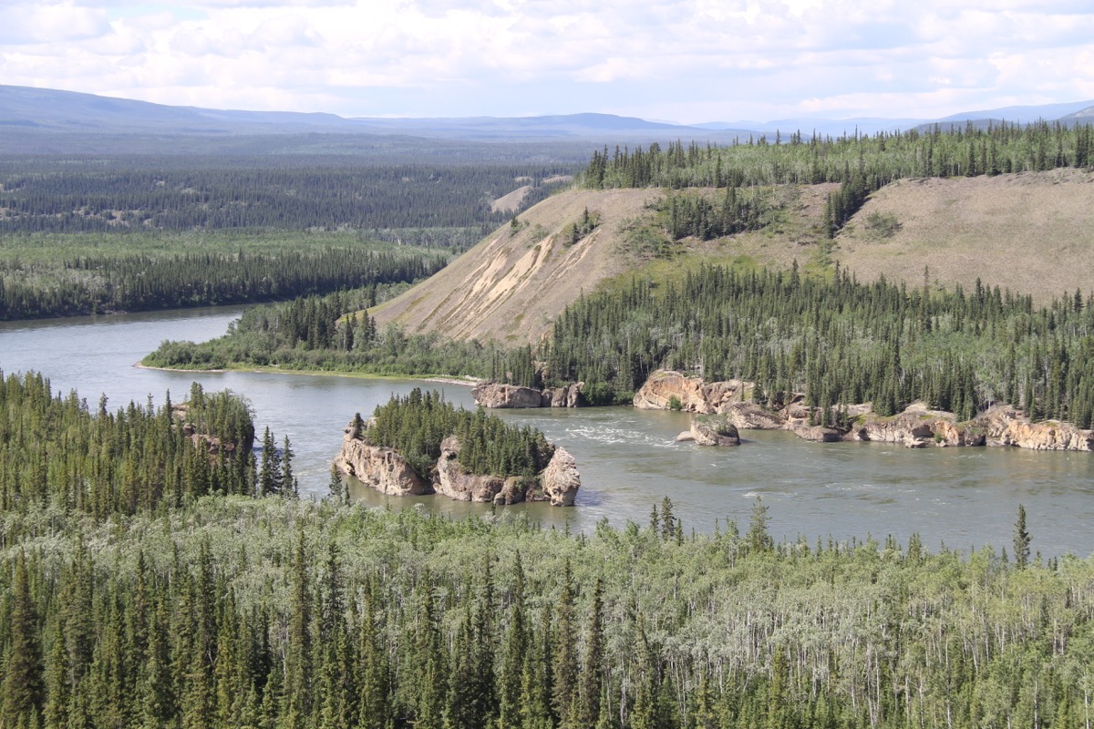
Five Fingers
Moose Creek Lodge
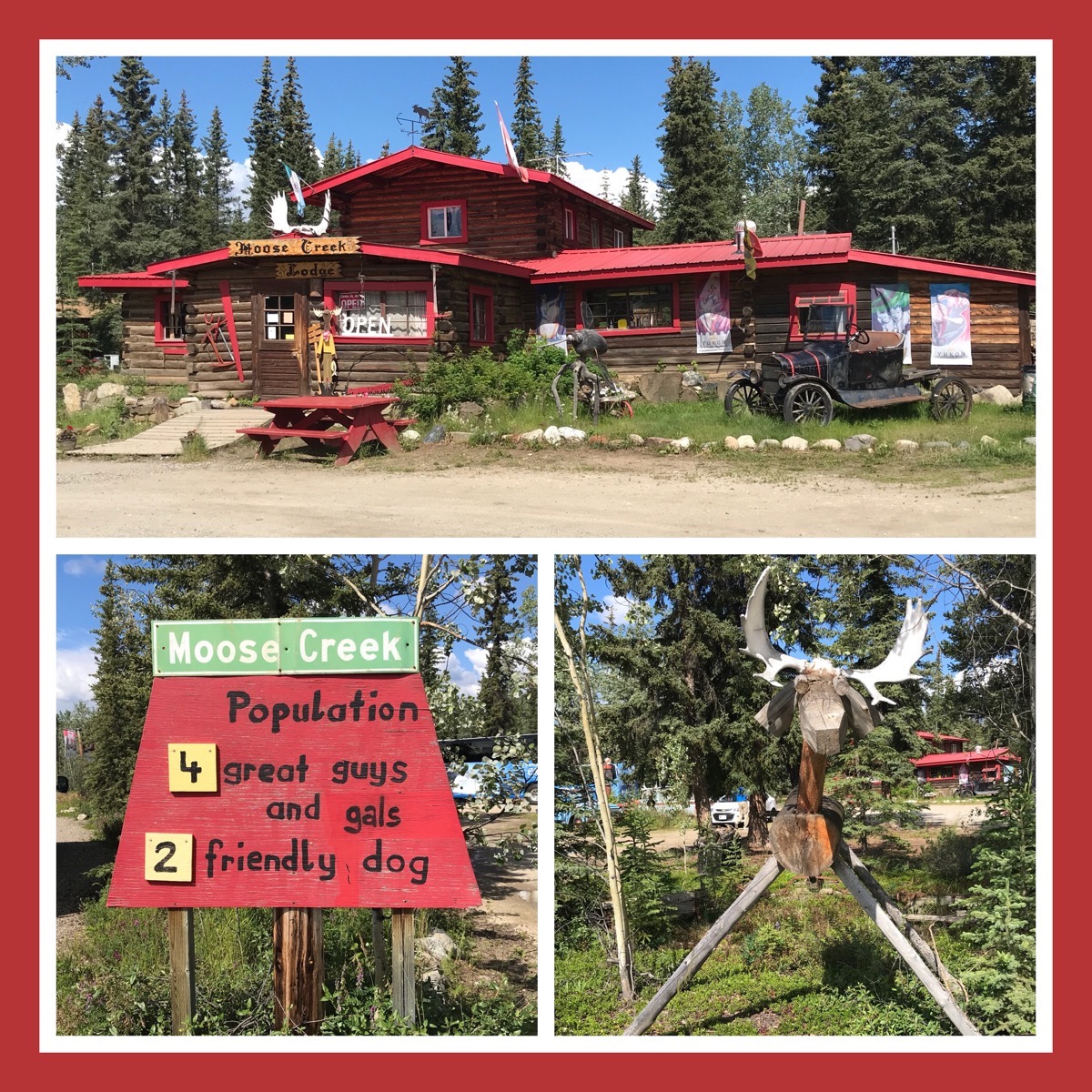
We stopped for a quick break at Moose Creek. This place is absolutely in the middle of nowhere, but since that’s the case, it’s a good place to stop. I had a delicious fresh rhubarb tart. We pulled in right as a Holland America Tour Bus was pulling out. Good timing on our part!
Dawson City
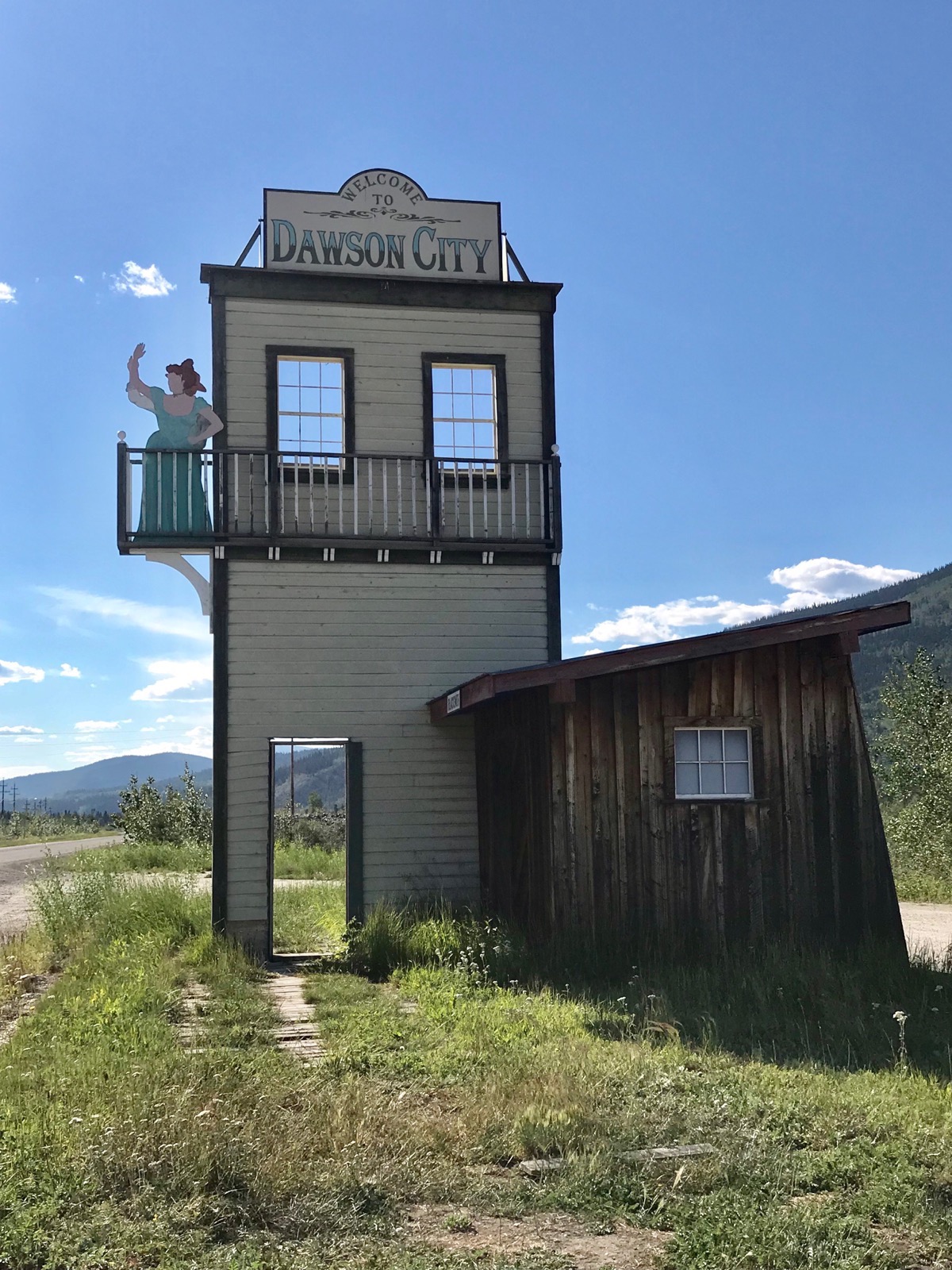
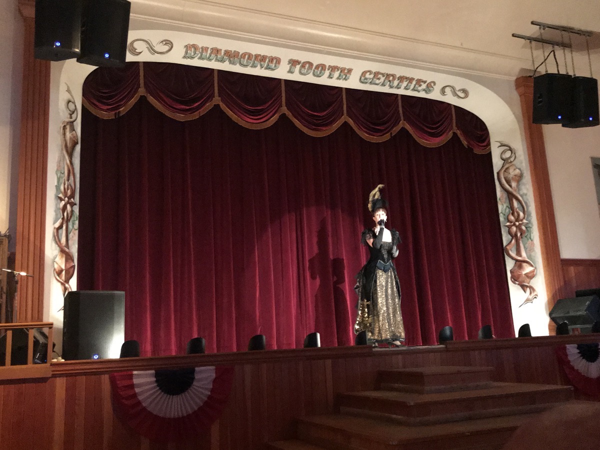
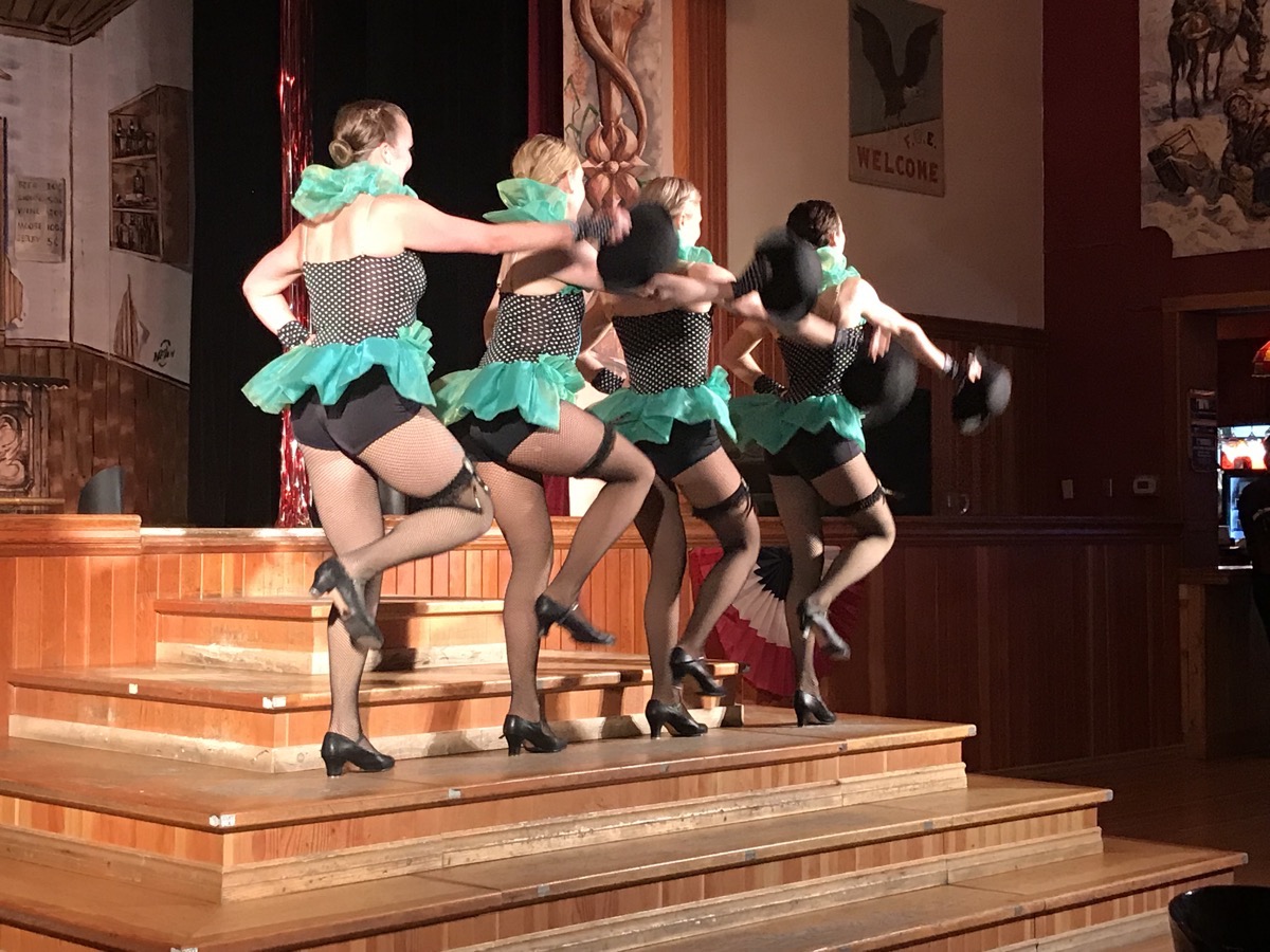
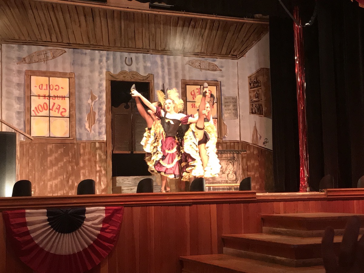
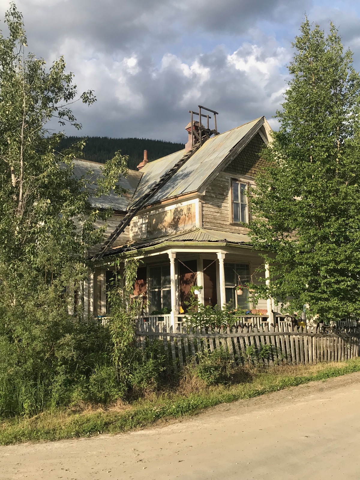
When we were walking down the streets in Dawson City tonight, we noticed that many of the houses have a ladder on the roof. I can’t imagine what the ladder is for because clearly this ladder would not be safe for use.
Trip Statistics
- We drove 321 in the motorhome today and none in the Honda, for a total of 5,715 miles so far.
- We are staying at the Goldrush RV Park in downtown Dawson City - $53.00 CAN or $40.22 USD for an average of $29.22 per night.
- Sunrise this morning in Whitehorse was 4:36am and sunset in Dawson City will be at12:39AM.
-
Day 35 - Whitehorse's Miles Canyon and Tahkini Hot Springs
We left our campground this morning and drove to Miles Canyon where we hiked across a suspension bridge and along the water’s edge for 1.5 miles. Then we drove into town and filled up with gas before driving to Tahkini Hot Springs Campground. After parking and plugging in at the campground, we drove to Yukon Wildlife Refuge where we walk 3.4 miles to see the animals.
Miles Canyon
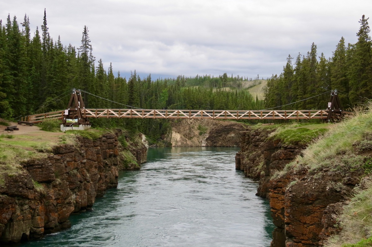 The Miles Canyon Suspension Bridge
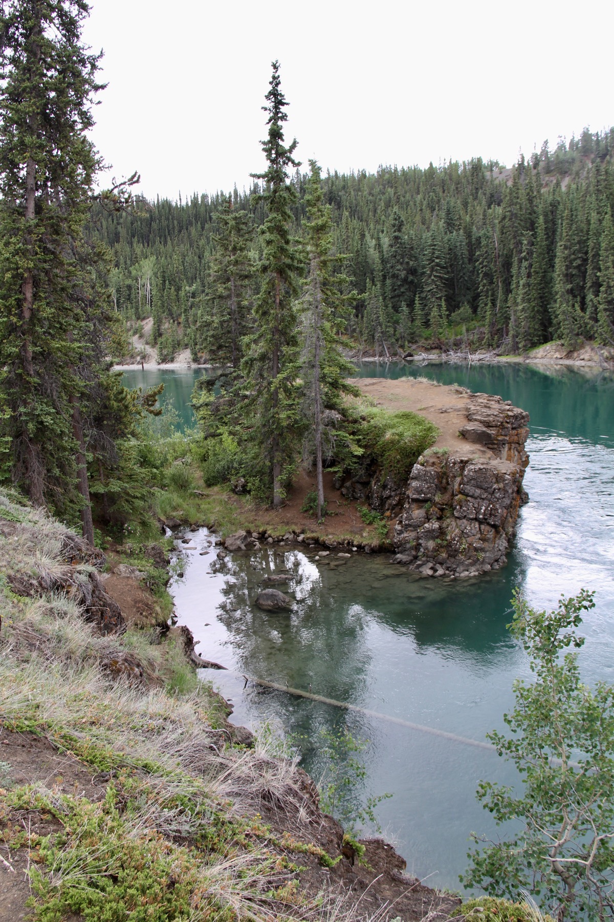
The emerald color of the water is absolutely gorgeous
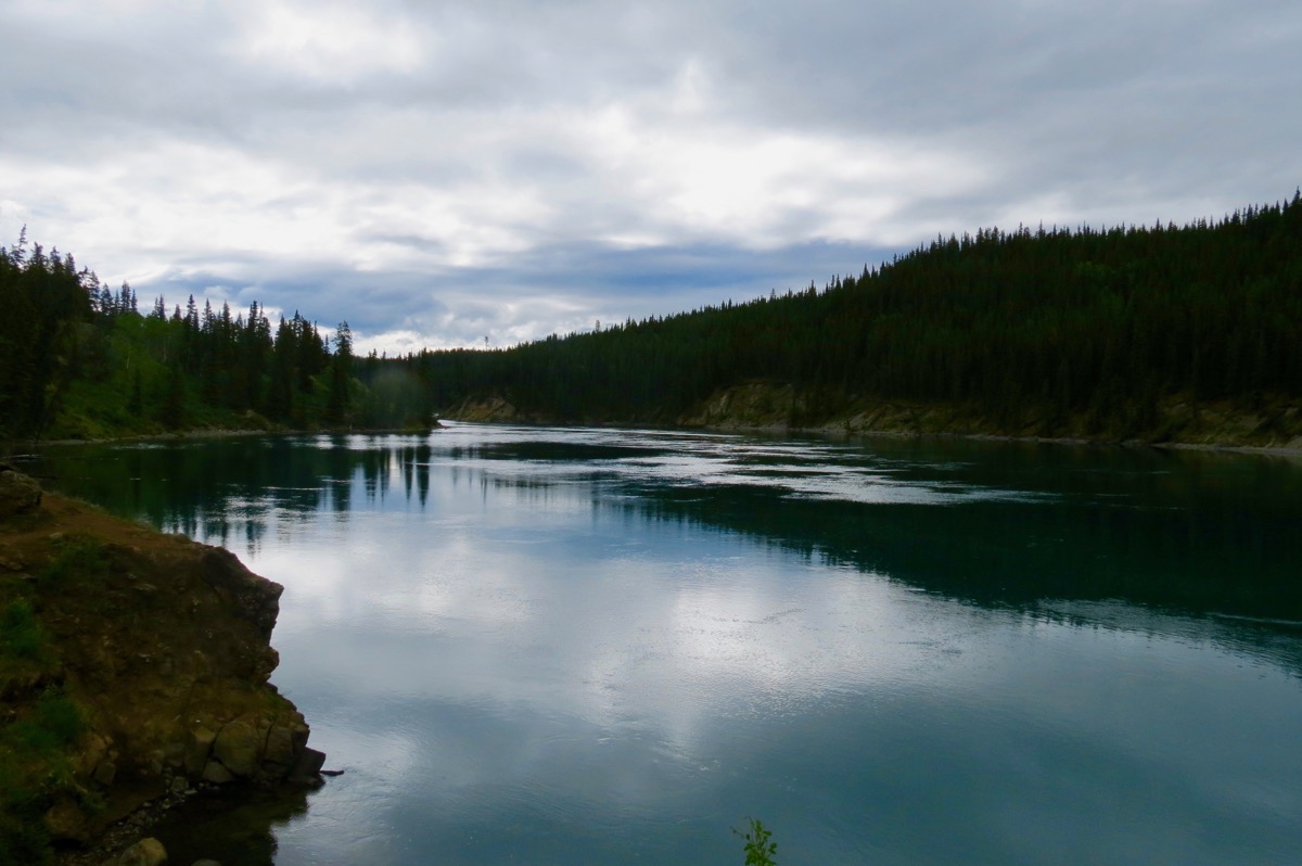
When the sun goes behind the clouds, the colors are dramatic
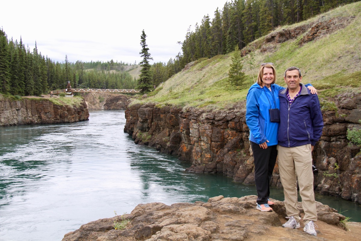
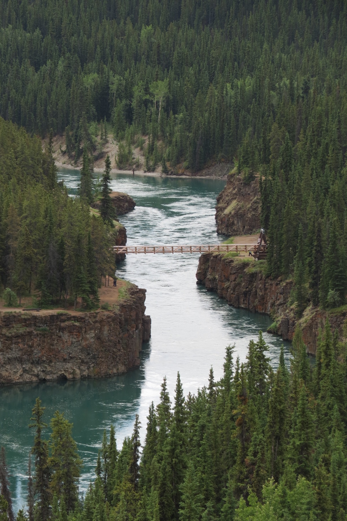
Here’s a view of Miles Canyon from the overlook
Yukon Wildlife Preserve
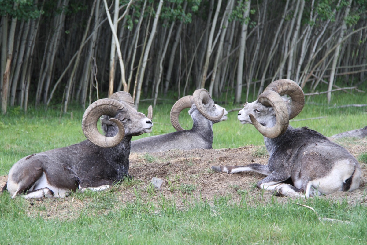
We saw lynx, mountain goats, artic fox, caribou, muskox, thinhorn sheep, moose, mule deer and bison.
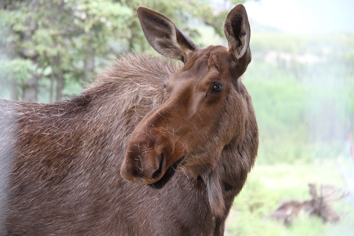
Moose
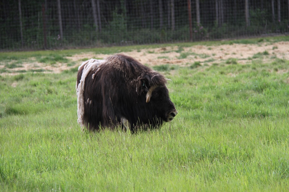
Muskox
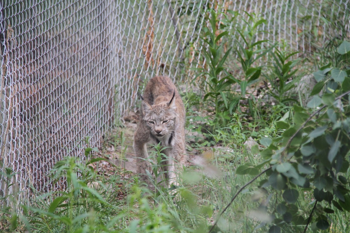
lynx
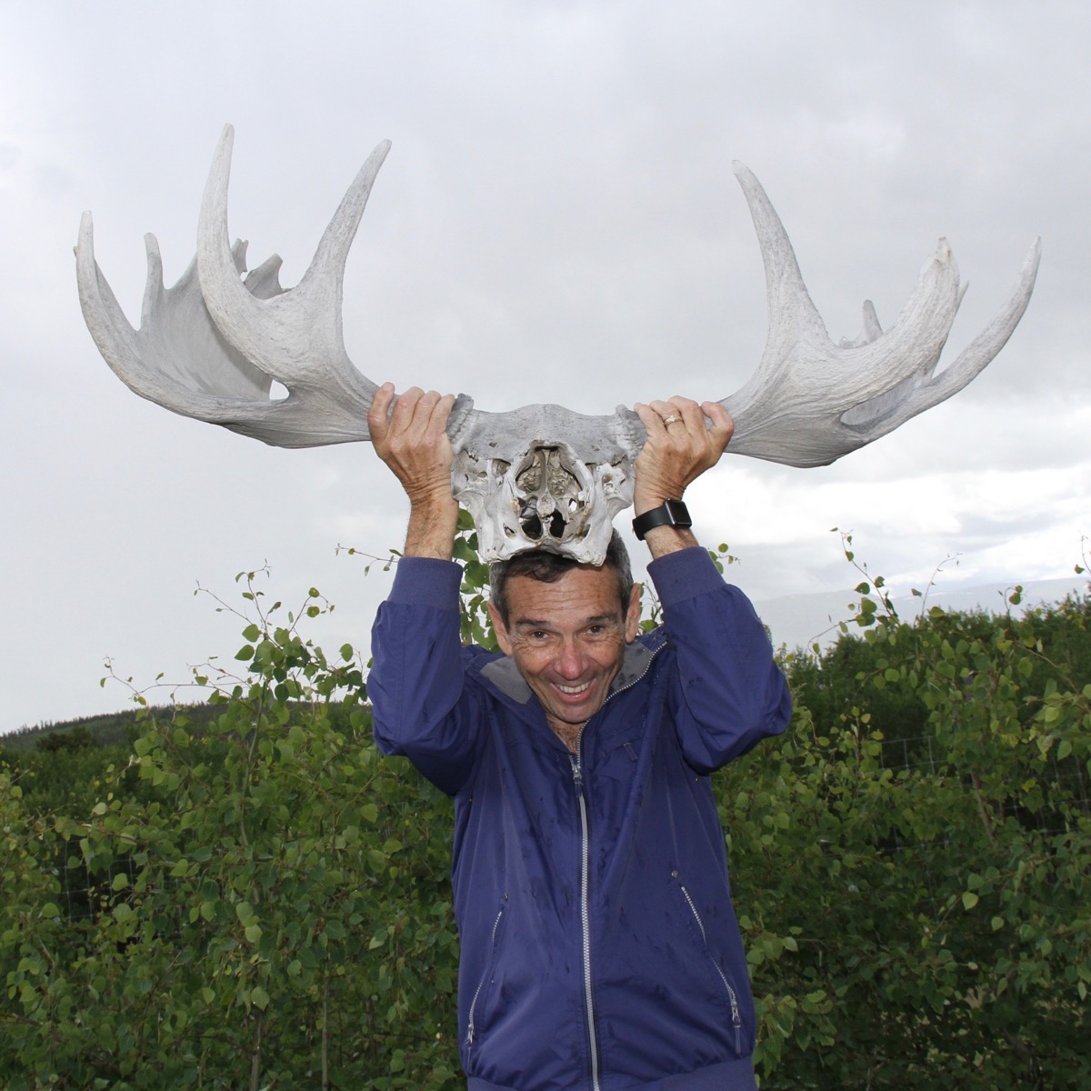
and TOM!
Tahkini Hot Springs
Takhini Hot Pools is one of the most visited locations in the Yukon. The hot springs have been in operation for over 100 years. The temperature in the hot springs pools are 96.8 and 107.6, with water entering the pool at 116.6
degrees. The water is natural and rich in minerals .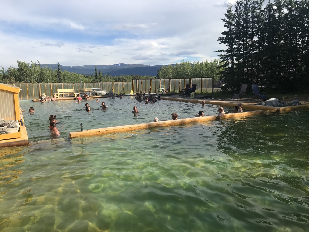
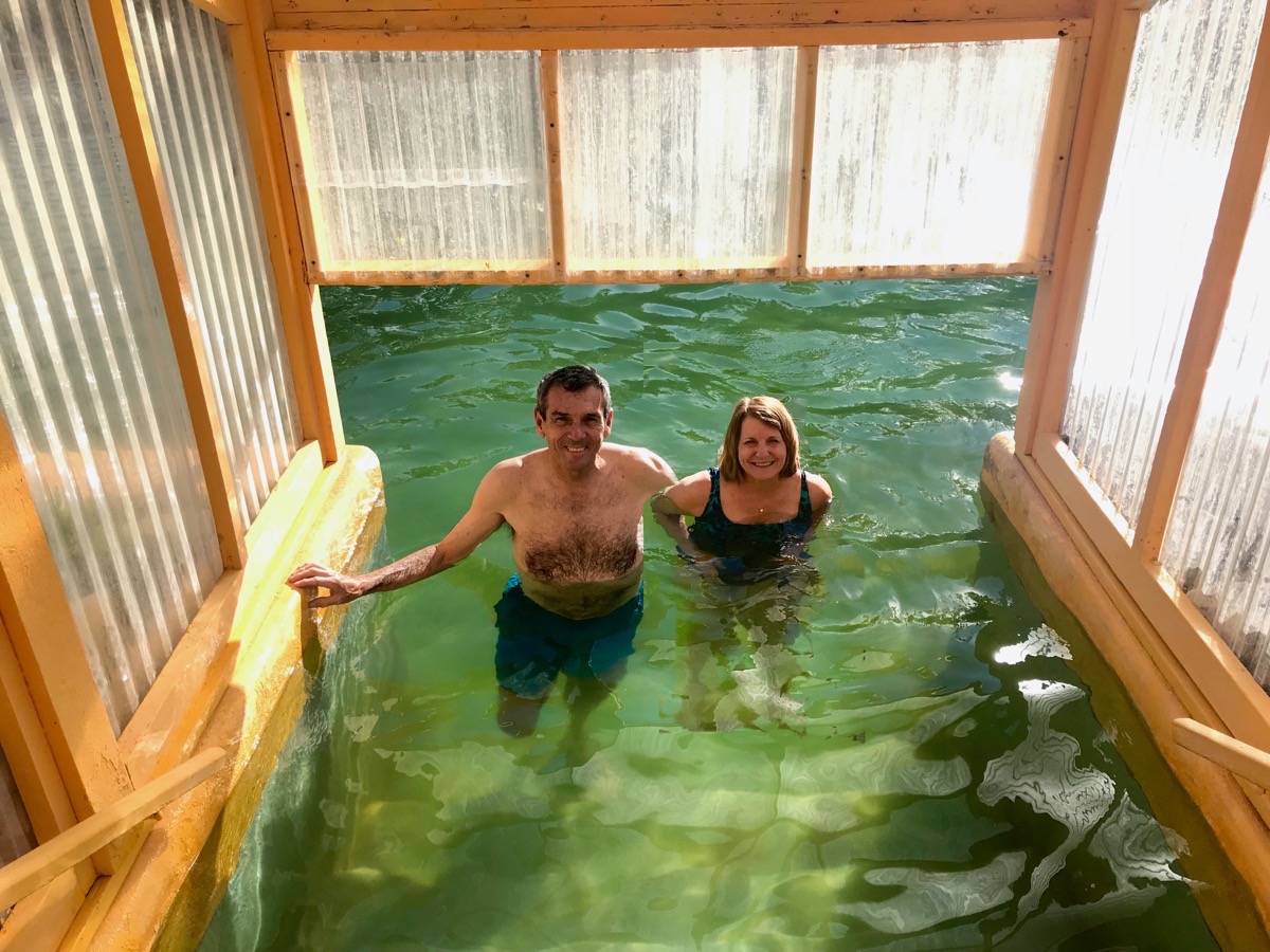
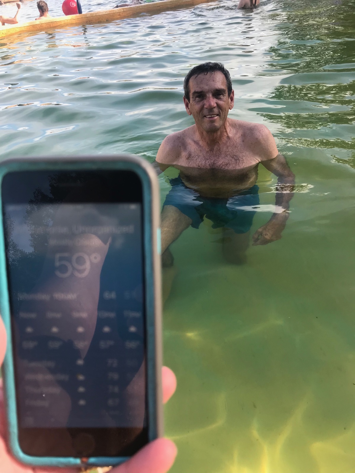
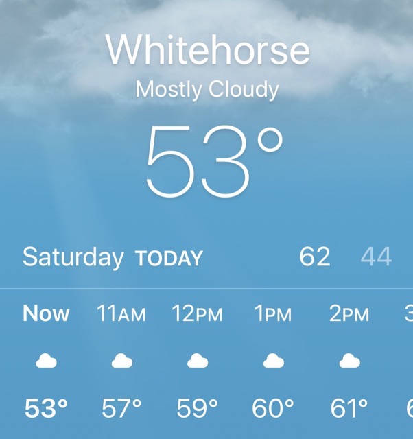
As you can see, the outside temperature was 59 degrees. In the pool Tom was in, the temperature was 107.6 degrees. It was 8:00PM when we were here.
Trip Statistics
- We drove 23 miles in the motorhome and 36 in the Honda for a total of 5,394 miles so far this trip.
- We filled the motorhome up with gas at $4.165 a gallon (USD) -$130.24. Total cost so far is $1,846.75
- We are staying at the Takhini Hot Springs Campground $35 (CAN) -$26.51 USD. Total campground cost so far is $1,011.86 with an average cost of $28.91 per night.
- Sunrise this morning was 4:34AM and sunset is at 11:34PM
-
Day 34 - A ride on the White Pass & Yukon Railroad
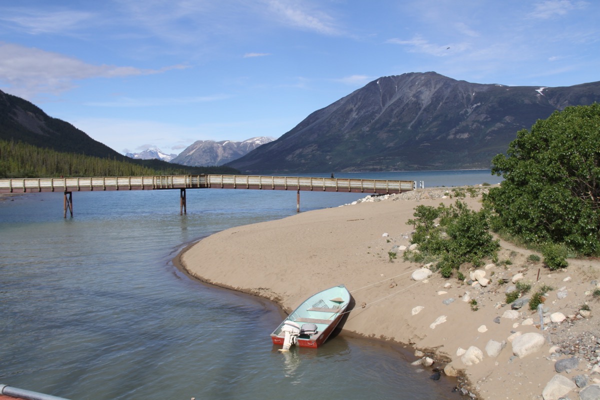
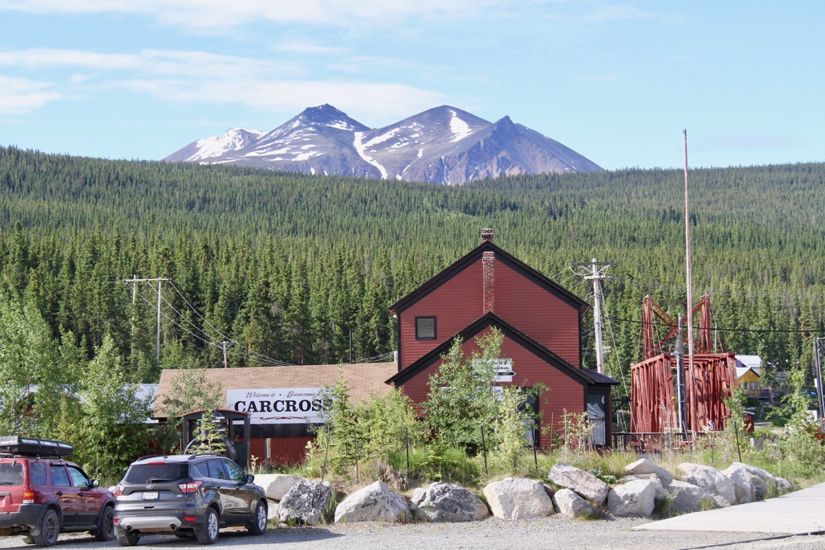
A bus picked us up at the campground at 8:20am to take us to Fraser to board the White Pass & Yukon Railway for an unforgettable ride to Skagway, AK. It was a nice day with the temperature in the mid to high 50s. Our first stop was for a photo break at Emerald Lake. Next stop was Carcross where we had an hour and fifteen minutes to walk around the town, shop and get some ice cream.
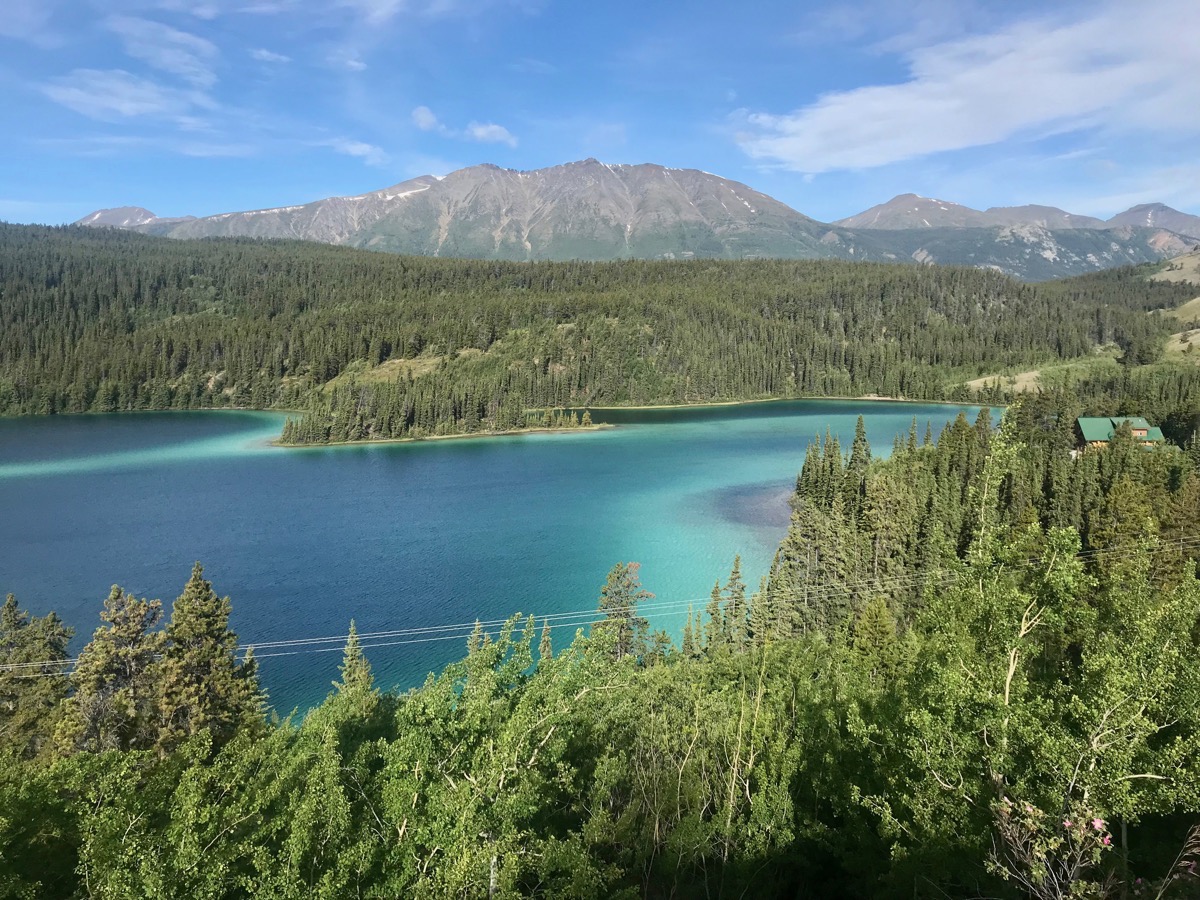 Emerald Lake
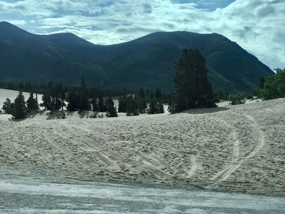
Carcross Desert
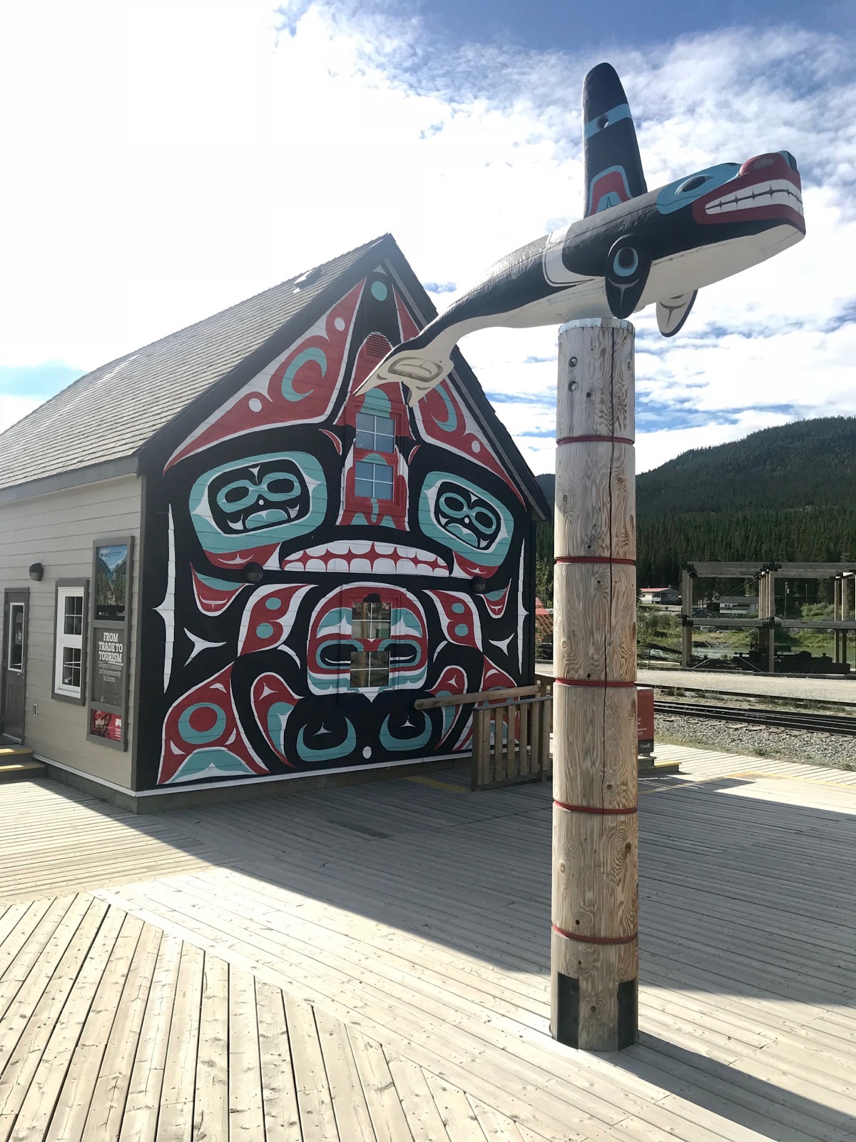
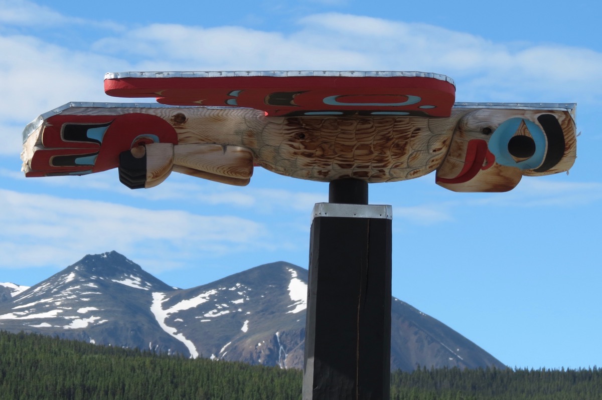
First Nation gift shop and totem poles
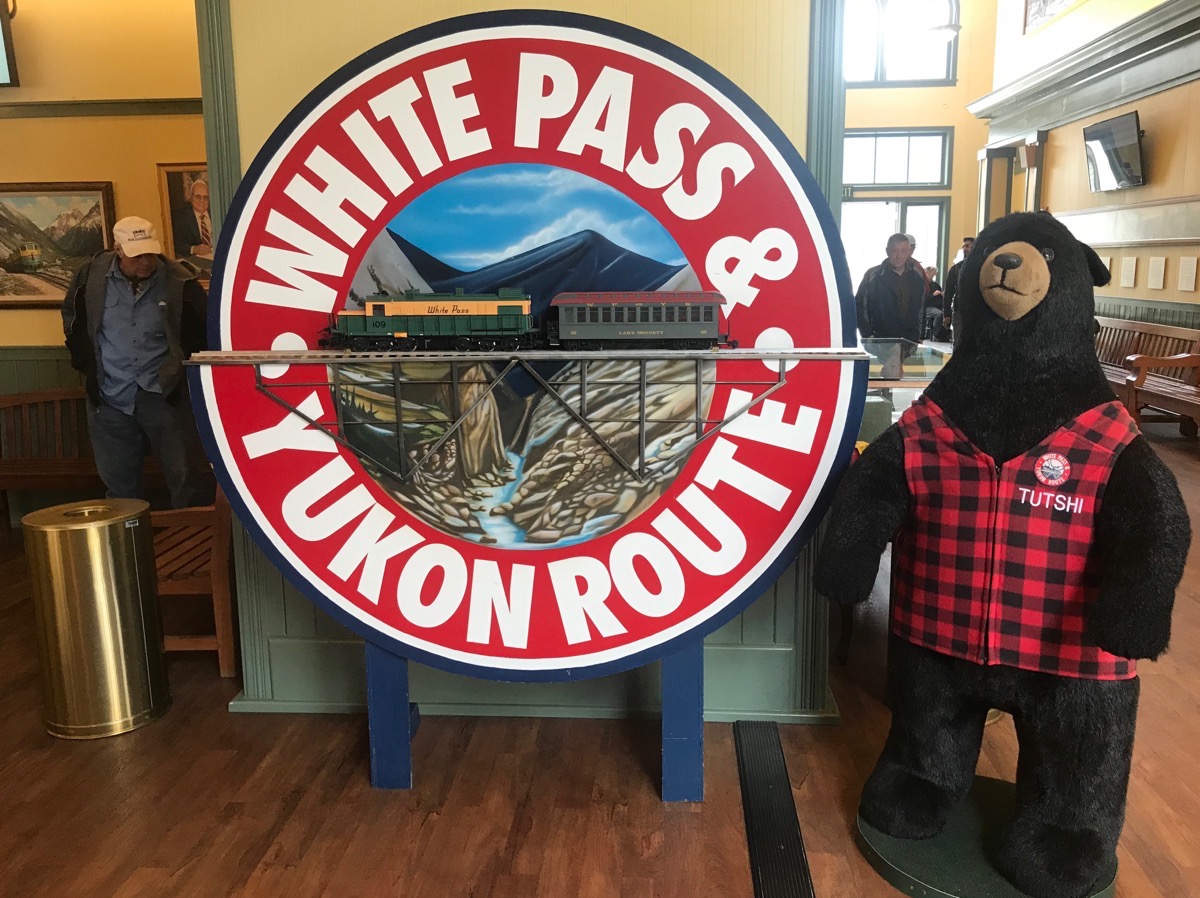
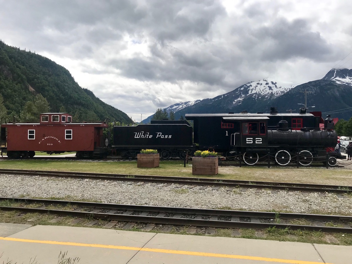
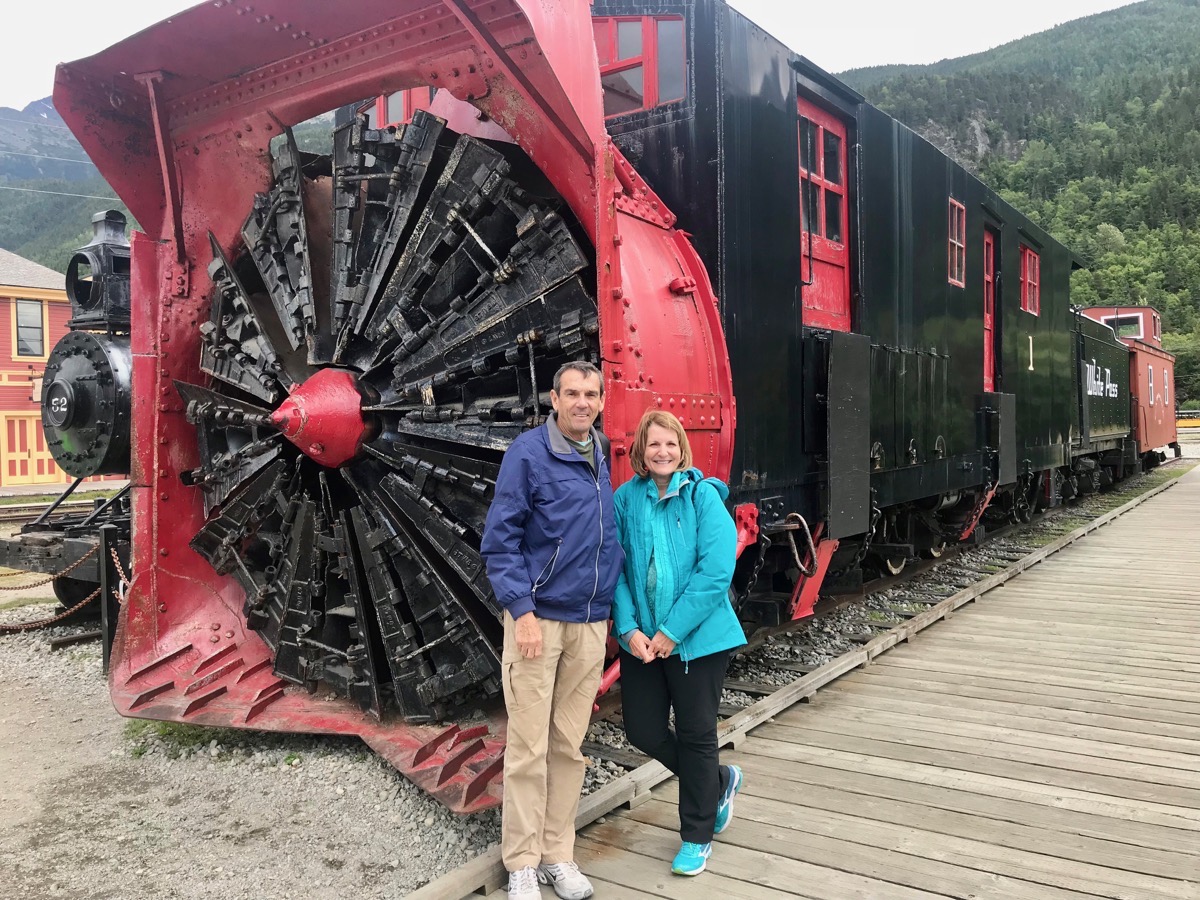
White Pass & Yukon Railroad
The White Pass & Yukon Railway route climbs from sea level in Skagway to almost 3,000’ at the summit in just 20 miles and features steep grades of almost 3.9%. The tight curves of the White Pass called for a narrow gauge railroad. The rails were three feet apart on a 10’bed which also meant lower construction cost.
Building the one hundred and ten miles of track was a challenge in every way. Construction required cliff hanging turns of 16 degrees, building two tunnels and numerous bridges and trestles. Work on the tunnel at Mile 16 took place in the dead of winter with heavy snow and temperatures as low as 60 below.
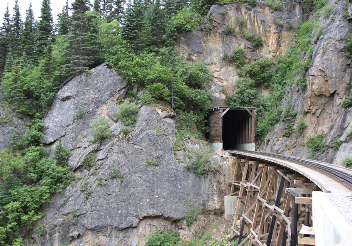
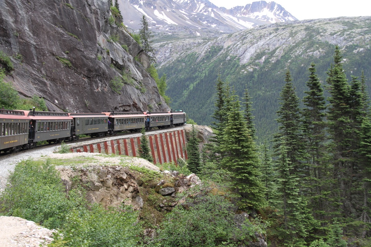
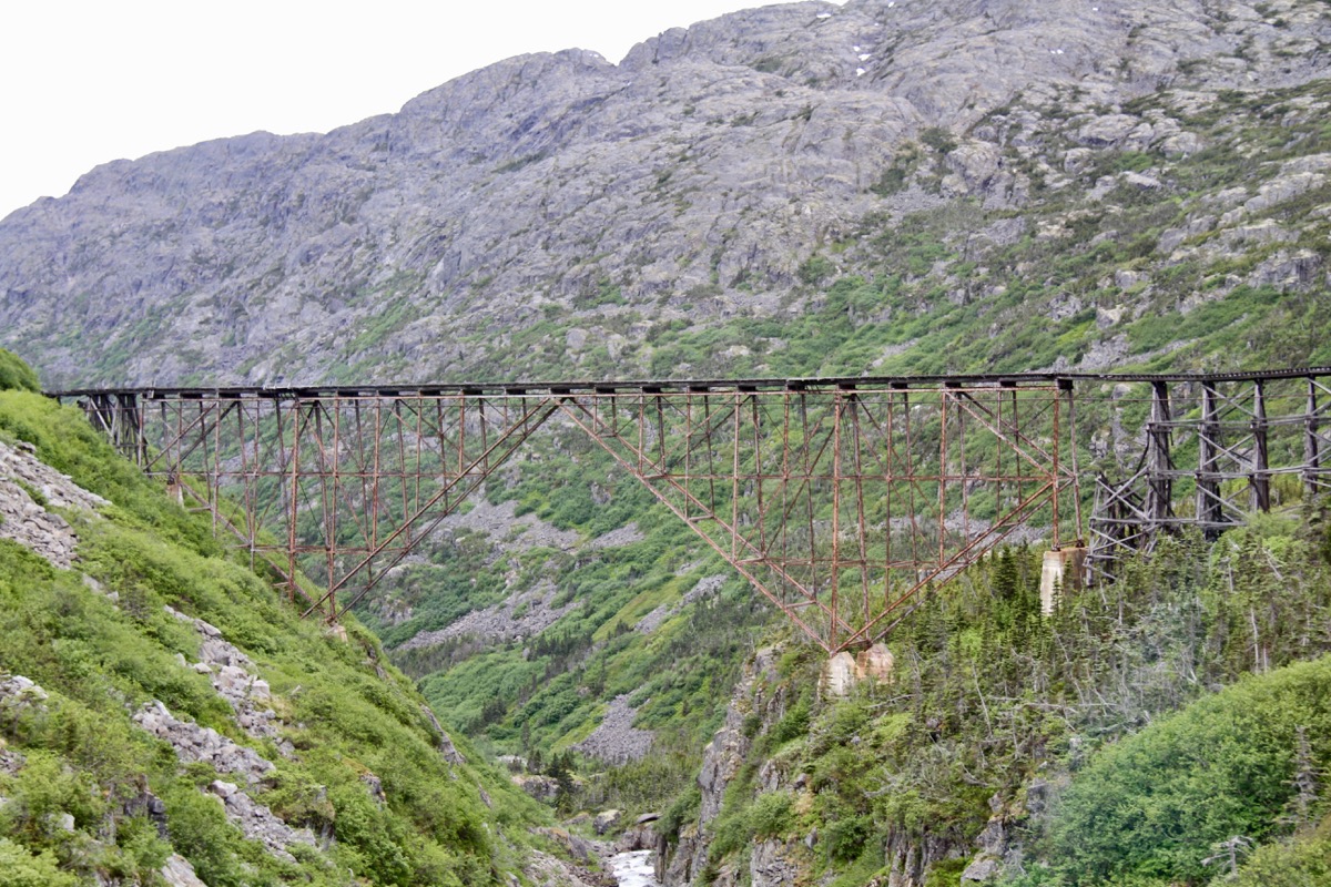
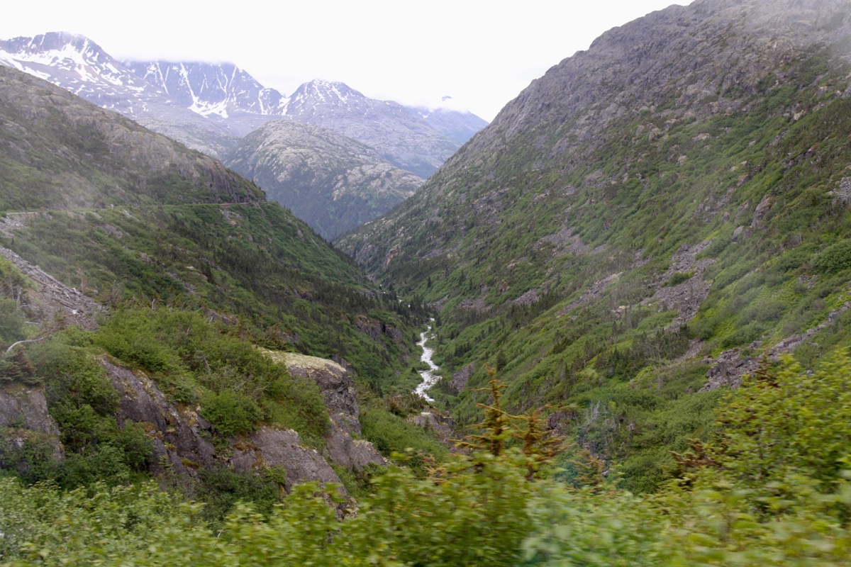
Dead Horse Gulch - 3,000 pack animals, victims of neglect by stampeders and overloading, met their end in the stampede of 1898 here.
Klondike Gold Rush
Gold was discovered in the Yukon in August of 1896. During the first year of the Gold rush an estimated 20,000 to 30,000 prospectors flocked to the area. All through the summer and on into the winter of 1897-98, stampeders poured into the newly created Alaskan tent and shack towns of Skagway and Dyea - the jumping off points for the 600-mile trek to the goldfields.
To prevent mass starvation in the remote and inaccessible Yukon Territory, the Canadian government required every stampeder to bring a year’s supply of goods before crossing the border. The Canadian government determined each person going to Dawson from Skagway or Dyea needed three pounds of food per day for a whole year. Food alone would weigh in at a minimum of 1,095 pounds or just over half a ton. But for a prospector, adding necessary clothes and equipment to the food could easily double the total load, and thus came to be known as a “ton of goods.”
This ton of food and supplies had to be moved up the 600 miles chilhoot trail. The trail was too steep for service animals, so the goods had to be carried. Stampeders who carried their own goods had the choice of carrying more weight or walking more miles. A light pack of 50 pounds meant more trips. A heavy pack of 80 pounds meant fewer trips, but extra weight and slower pace. Every mile walked with a load meant another mile back empty.
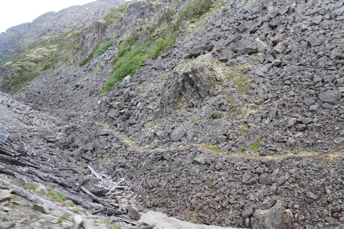
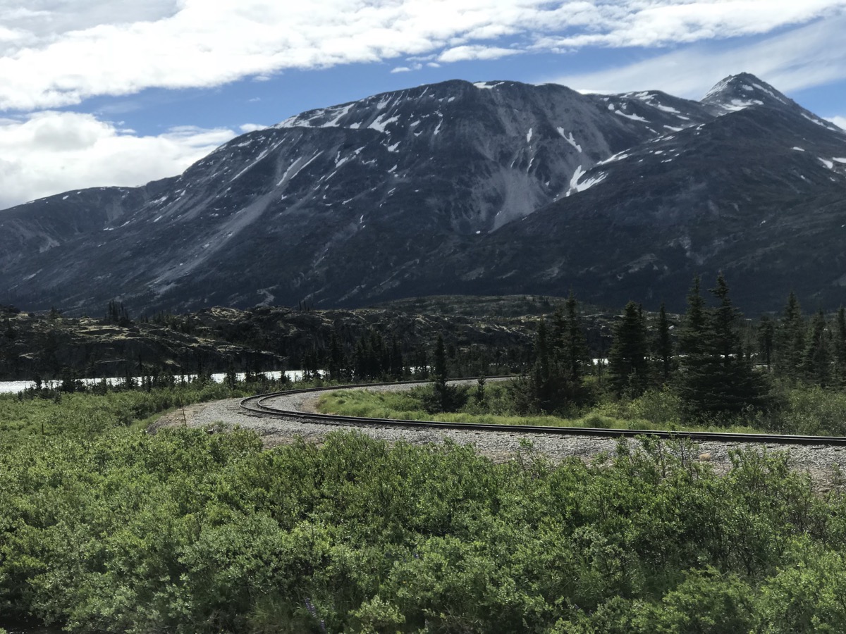
Some of the level part of the goldrush trail before the steep mountain pass.
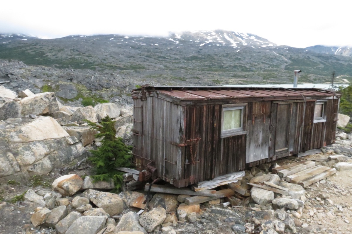
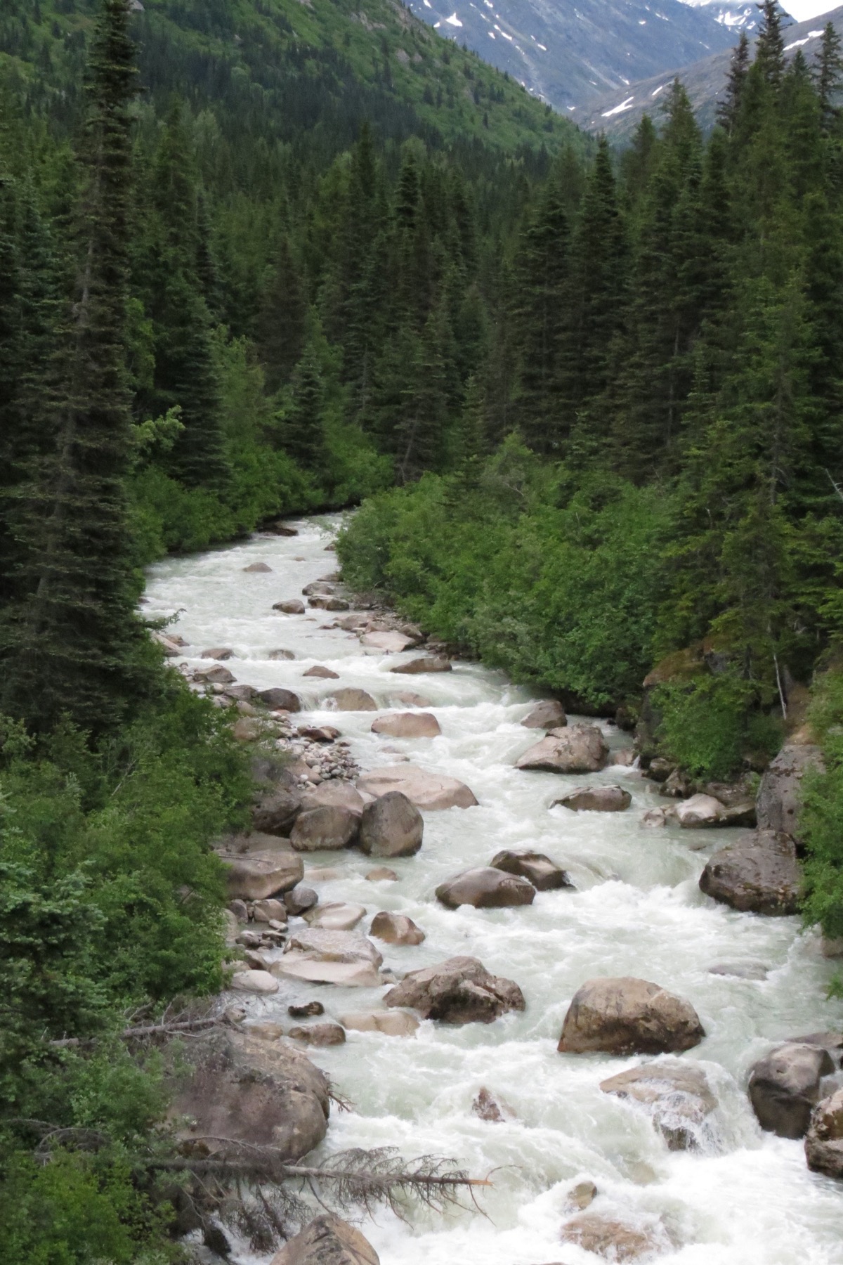
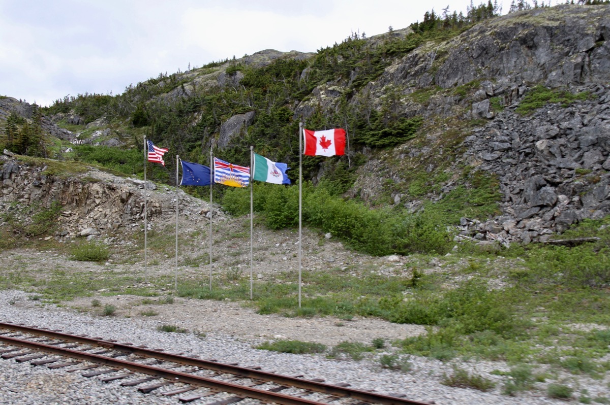
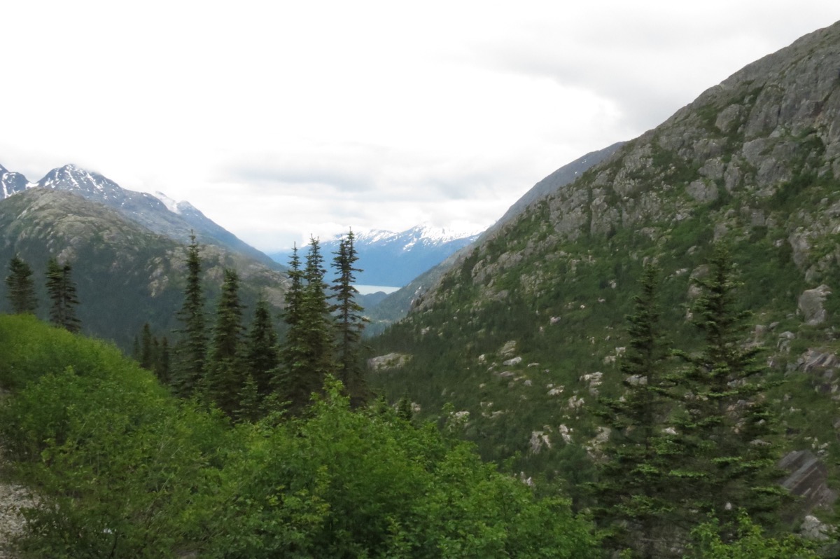
A view of the Pacific Ocean 20 miles away from Inspiration Point
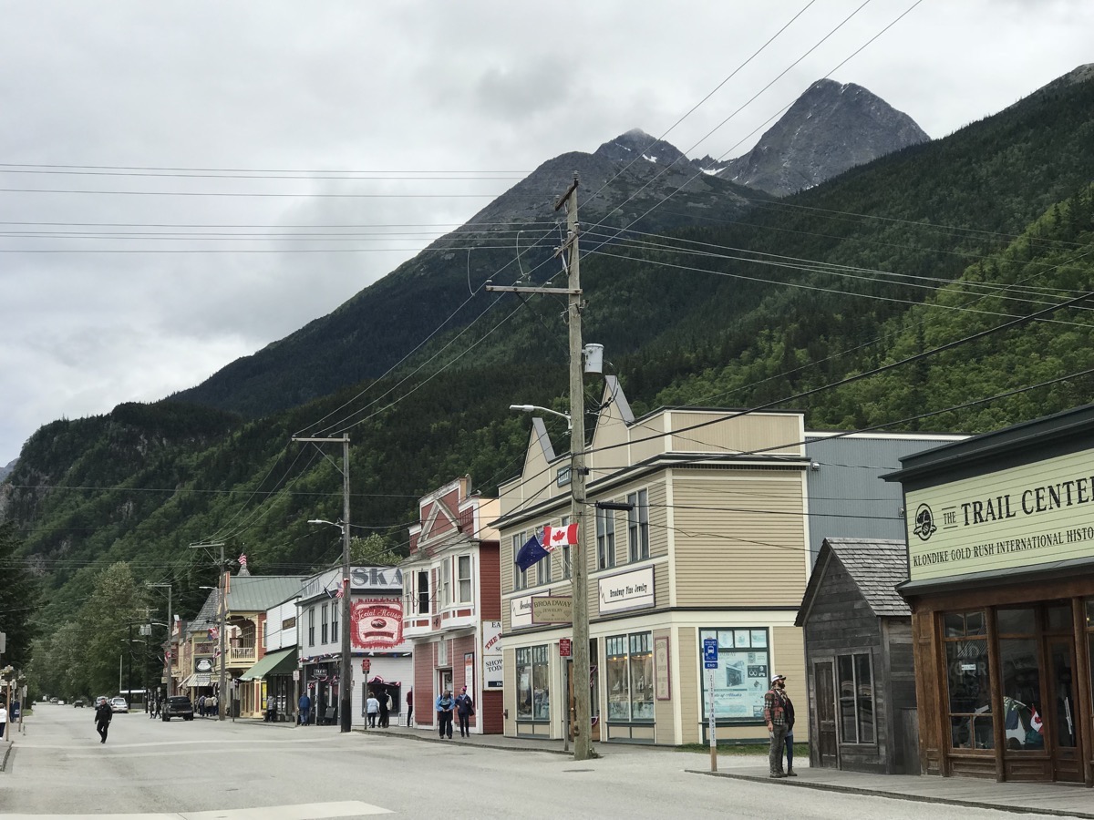
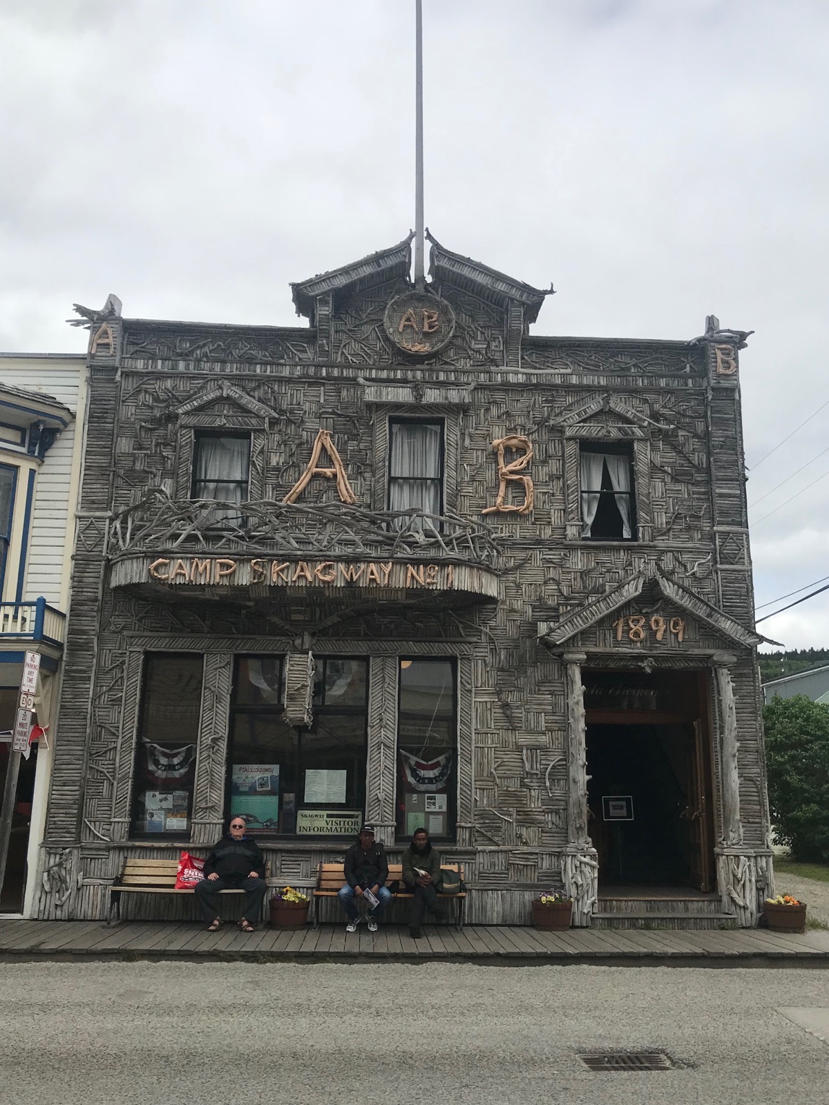
Skagway, Alaska
Trip Statistics
- We are staying at the Hi Country RV Park $23.48 (USD), Total spent for lodging so far is $961.35 (USD) with an average of $28.98 per night
- We didn’t drive anywhere so our mileage remains at 5,335 miles.
- Sunrise was at 4:34AM and sunset 11:31PM
-
Day 33 - Whitehorse, Yukon
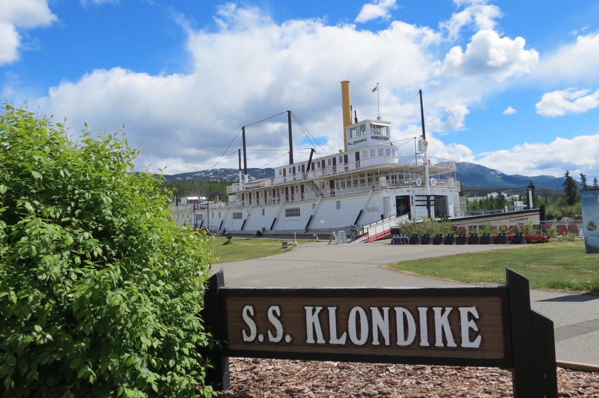
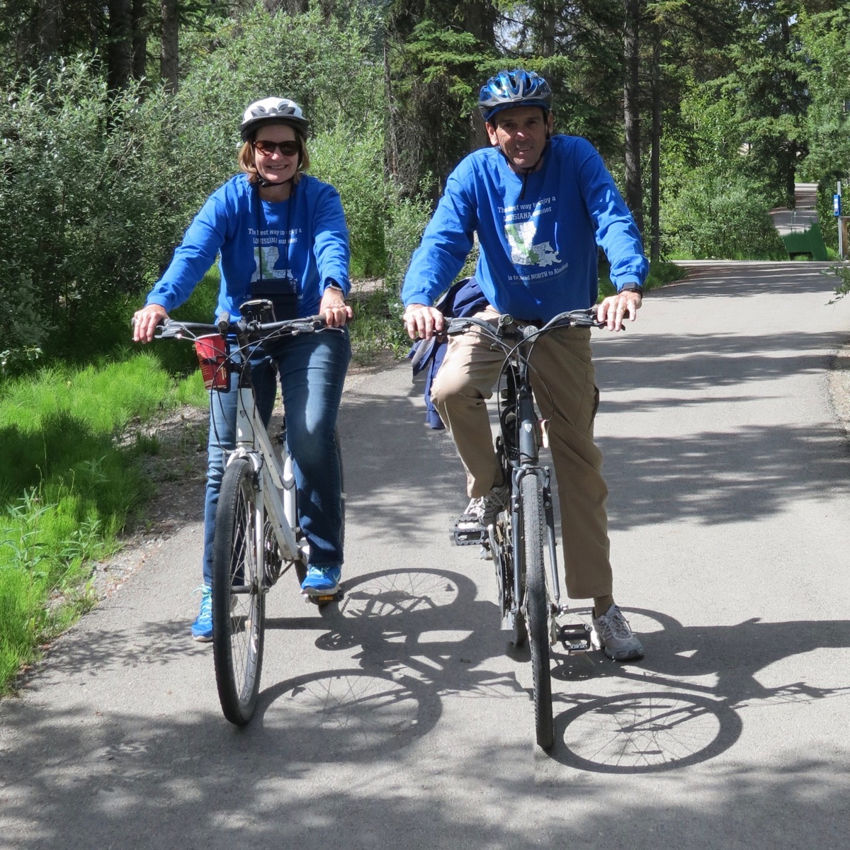
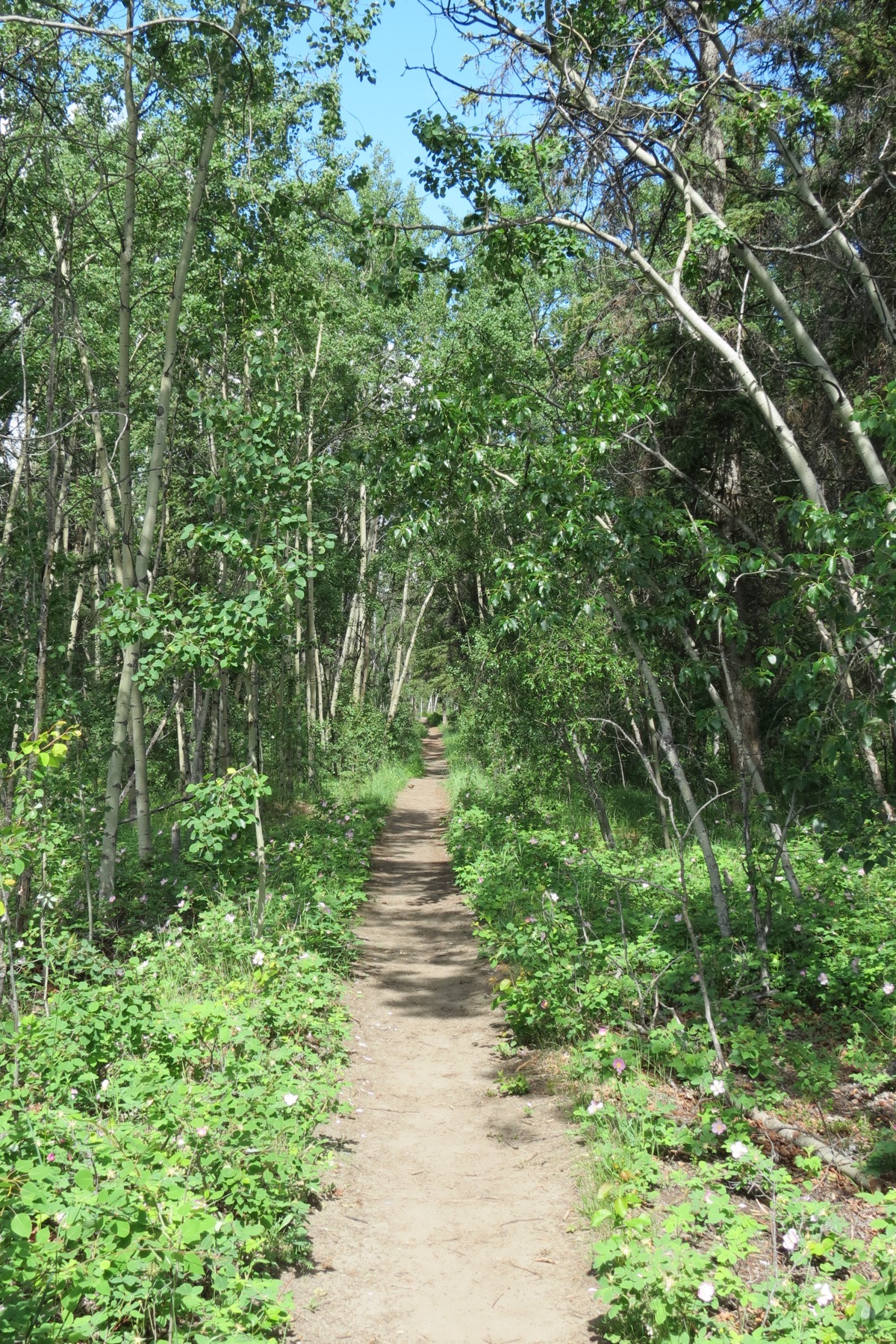
It was another nice, but cloudy, day in Whitehorse. We drove into the downtown area and parked the car in front of the S. S. Klondike. First we toured the Klondike, then we walked 5 miles on the trail along the river and stopped at the Fishladder. After our hike we got our bicycles off the car rack and rode four miles the other direction, stopping for lunch at Tim Horton’s.
In the late afternoon we came back to the motorhome and I fixed gumbo. We had two couples over for dinner that we first met in Dawson Creek and had a very nice evening visiting with them.
Sunrise this morning was at 4:33AM and sunset at 11:32PM.
S. S. Klondike
The S.S. Klondike II was launched in Whitehorse in May of 1937. It was owned by the British Yukon Navigation Co. / White Pass & Yukon Route, and its port of registry is Dawson City, Yukon Territory. As well as passengers, the S.S. Klondike also hauled cargo. Shipments downstream from Whitehorse to Dawson carried general cargo of fuel and food, and shipments upstream from Dawson to Whitehorse brought silver-lead ore. Travelling downstream took approximatley 1.5 days, and upstream trips took 4-5.
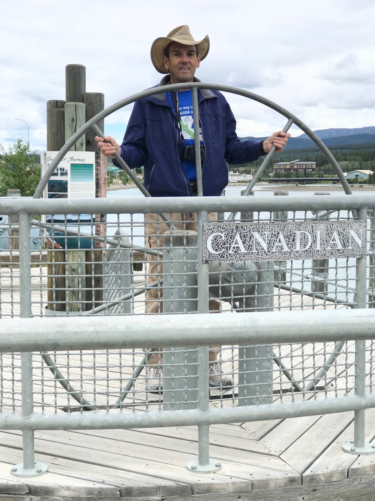
Captain Tom along the walking path
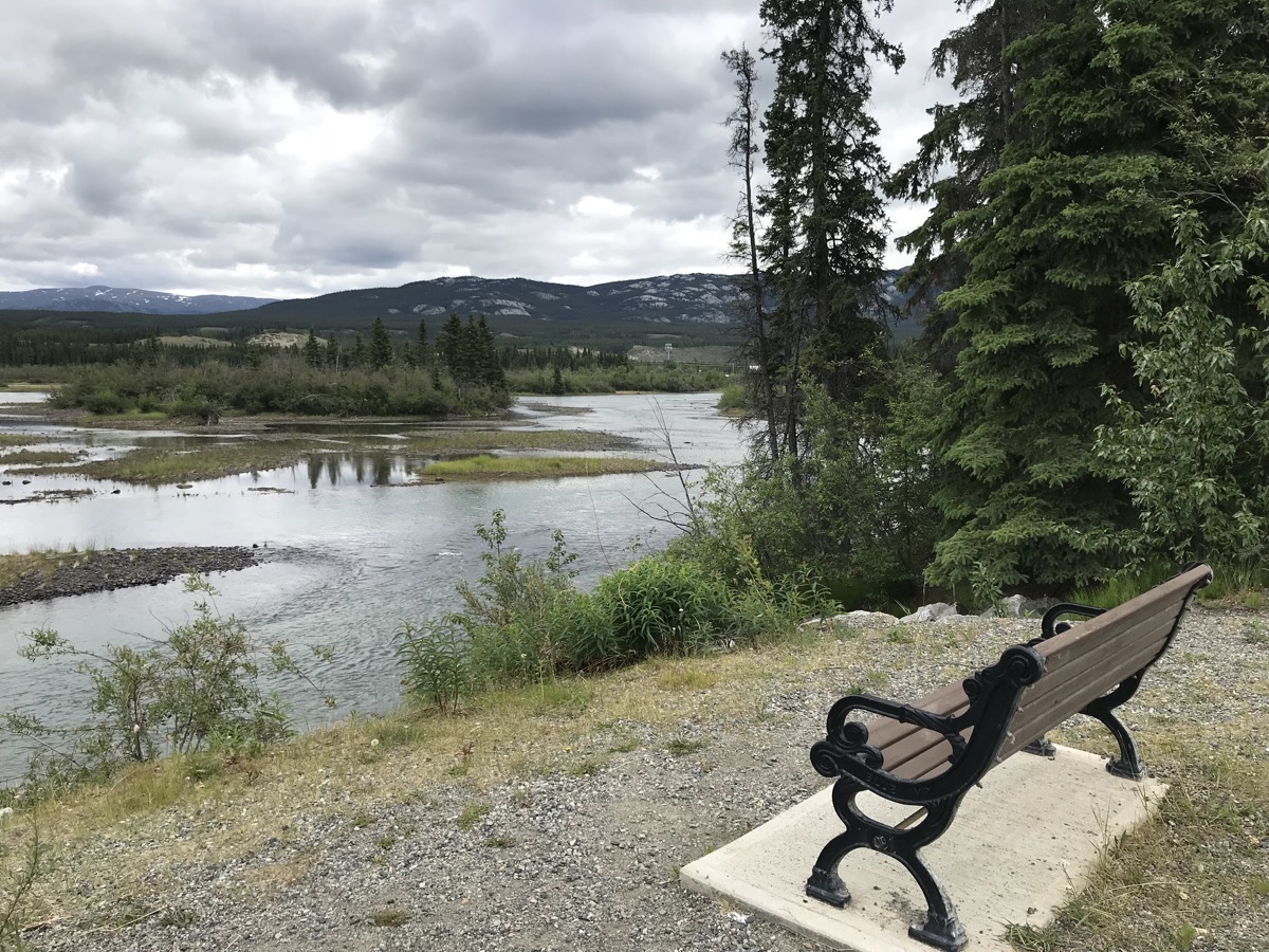
A nice spot for a rest
Whitehorse’s Fishladder
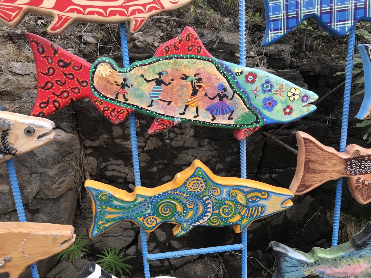
The world’s longest wooden fish ladder helps migrating chinook (aka king) salmon on the final leg of their epic journey. As young smolts, they migrate downstream to the Bering Sea. After three to five years, they reenter the Yukon River and begin the two-month nearly 2,000-mile swim back to their home waters. The lucky ones (?)—a tiny percentage—will make it to spawn and die there. This 1,200-foot chute allows the salmon to skirt the Whitehorse Dam and avoid its turbines.
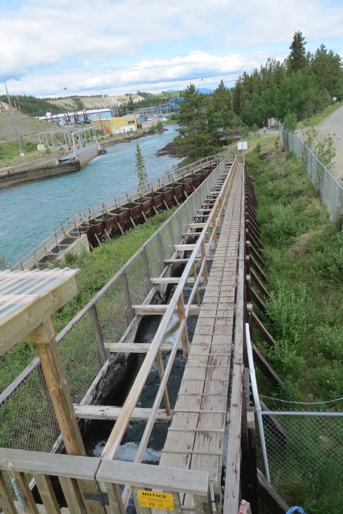
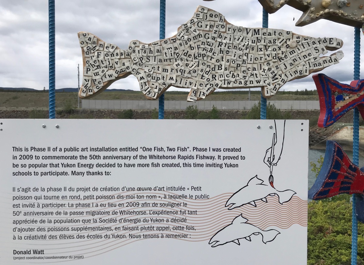
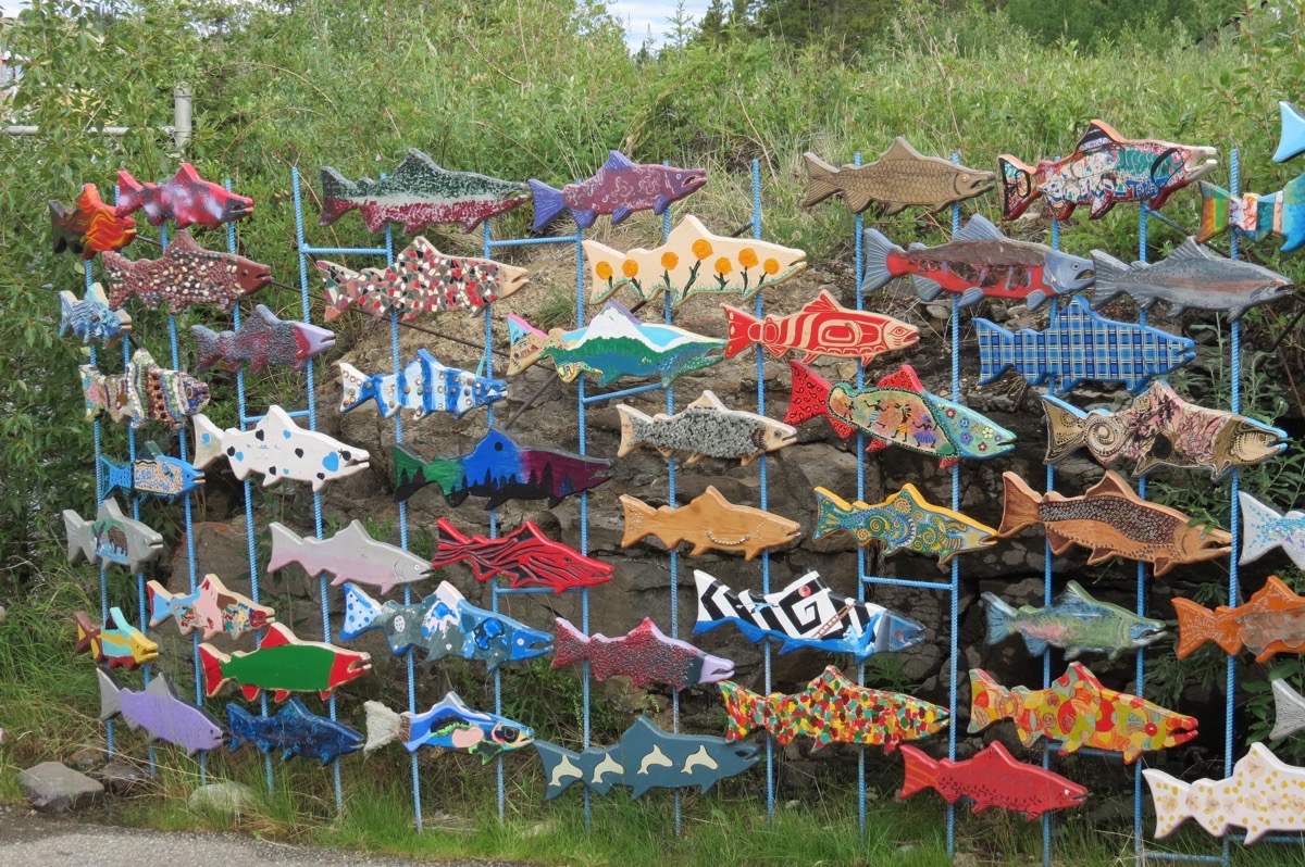
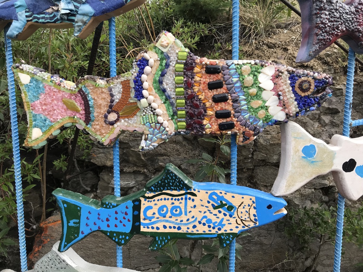
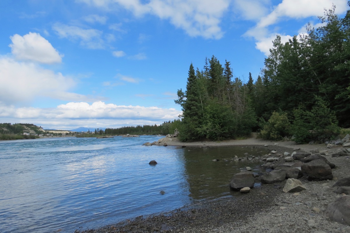
A beautiful day for a hike along the Yukon River
Trip Statistics:
- Hi Country RV Park - $23.89
- Drove 14 miles in the Honda.
-
Day 32 - Teslin to Whitehorse
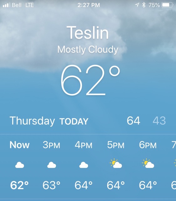
It was a beautiful morning when we woke up in Telsin this morning. My phone says that sunrise this morning was at 4:28AM at it was 49 degrees. We left the campground this morning at 10:15 for our 111 drive to Whitehorse.
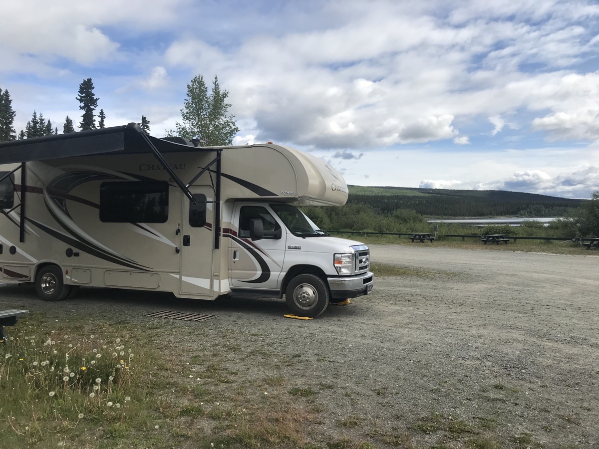
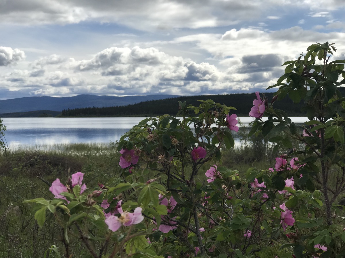
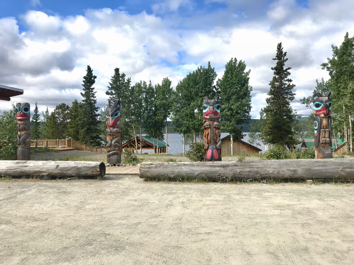
On the way out of town (or 3.6 miles from the campground per yesterday’s walk), we stopped for one more photo opportunity of the Totem Poles at the Heritage Center.
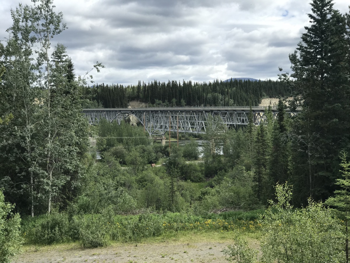
We stopped at Johnson’s Crossing, one of the original lodges on the Alaskan Highway, for a delicious cinnamon roll and to take a picture of the Teslin Bridge. This bridge is the third longest span on the highway. It was constructed with a very high clearance to allow steamers of the British Yukon Navigation Company to transport goods from Whitehorse to Teslin. Ironically, once the bridge was built the transportation of goods by water ceased.
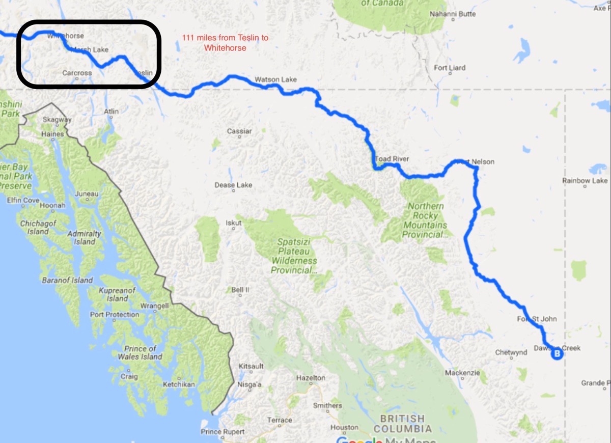
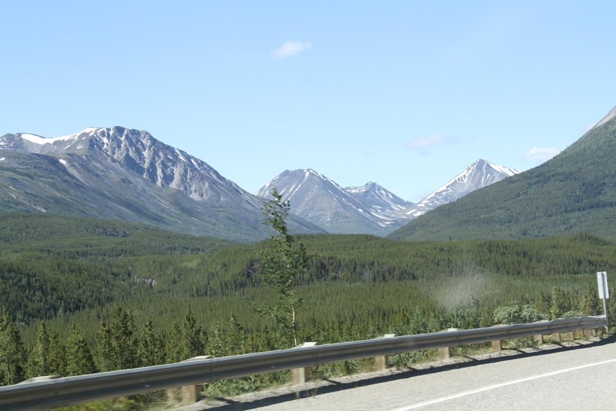
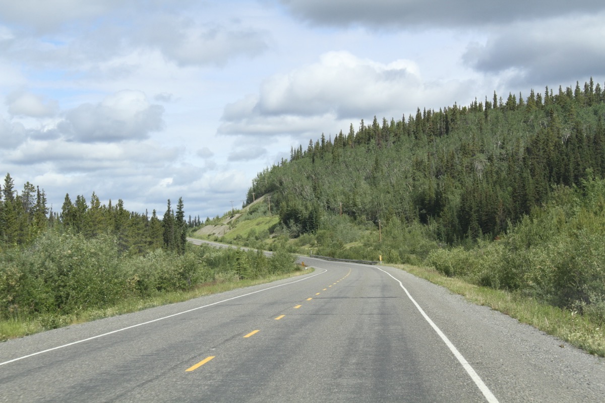
Our route today along the Alaska Highway
Whitehorse, YK
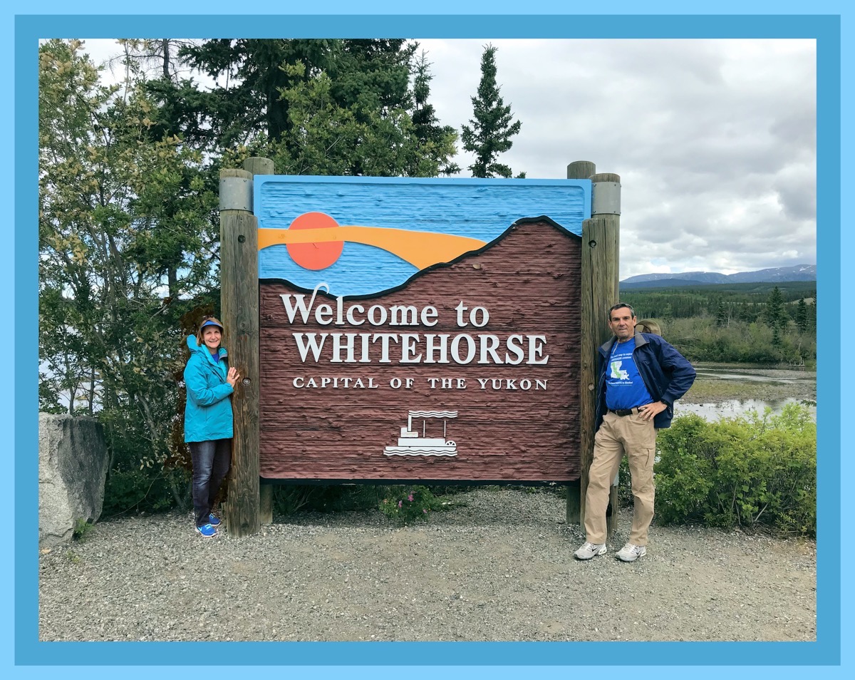
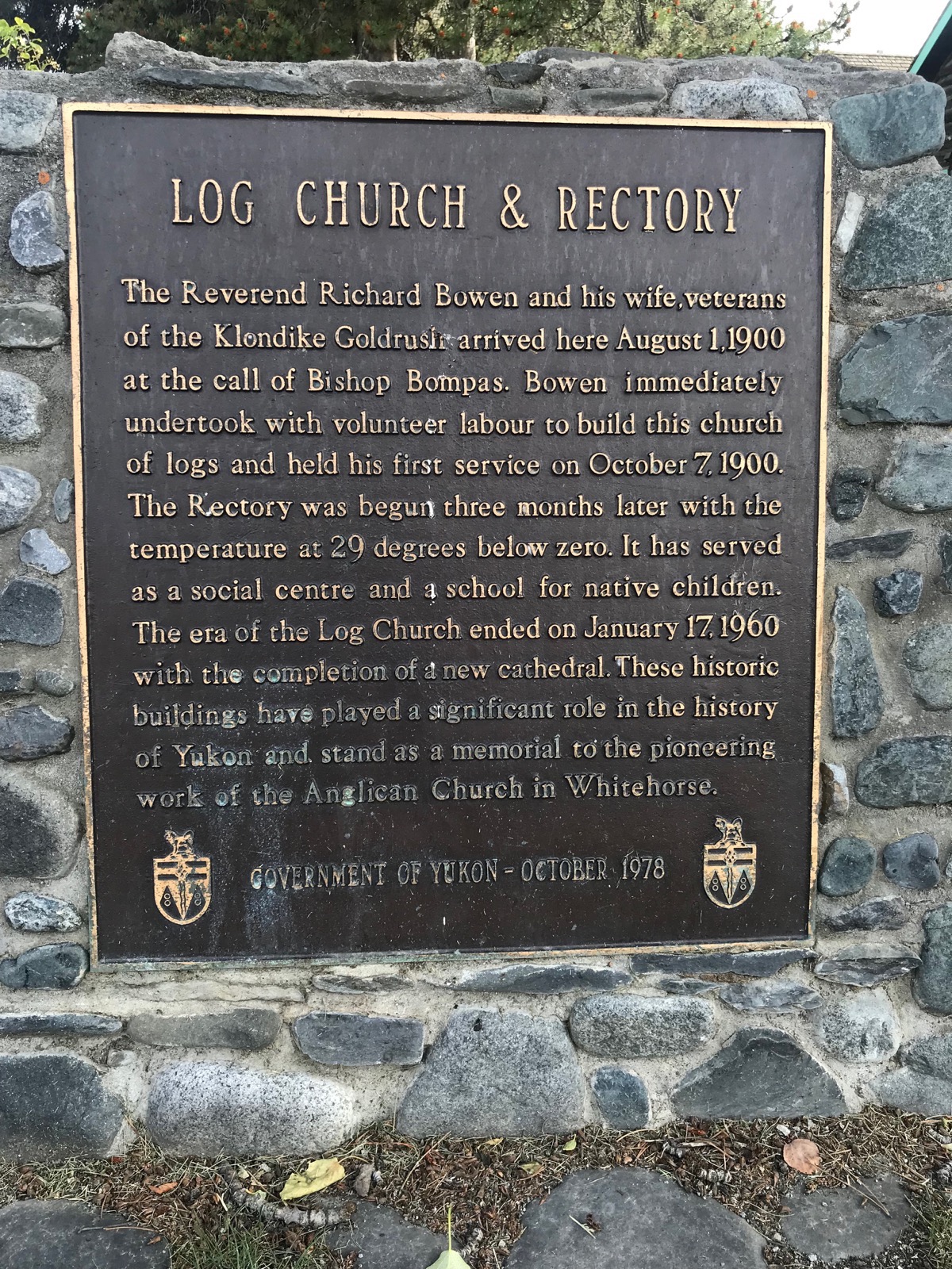
Whitehorse is the capital of Yukon and serves as the center for transportation, communications and supplies for Yukon. The population is 26,418 which seems like a huge city when compared to the one and two block towns we’ve stayed in to get here. We spent the afternoon walking around downtown, visiting the tourist center and touring the log cabin church. Afterwards we went grocery shopping at Walmart and their “real” grocery store Save More.
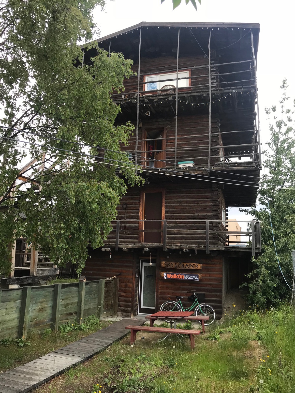
A Yukon Skyscraper
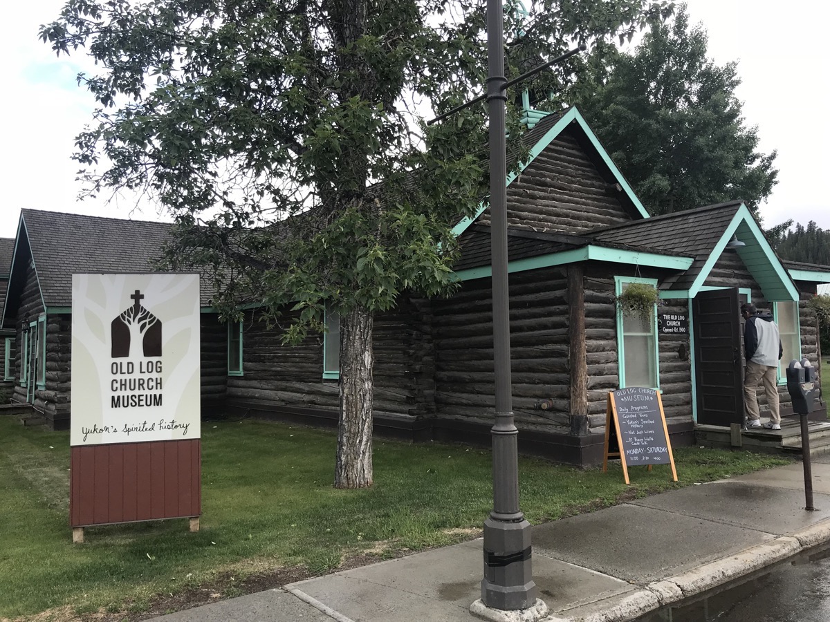
Old Log Church Museum
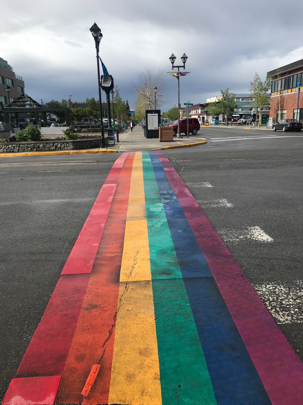
Colorful Crosswalk in Whitehorse
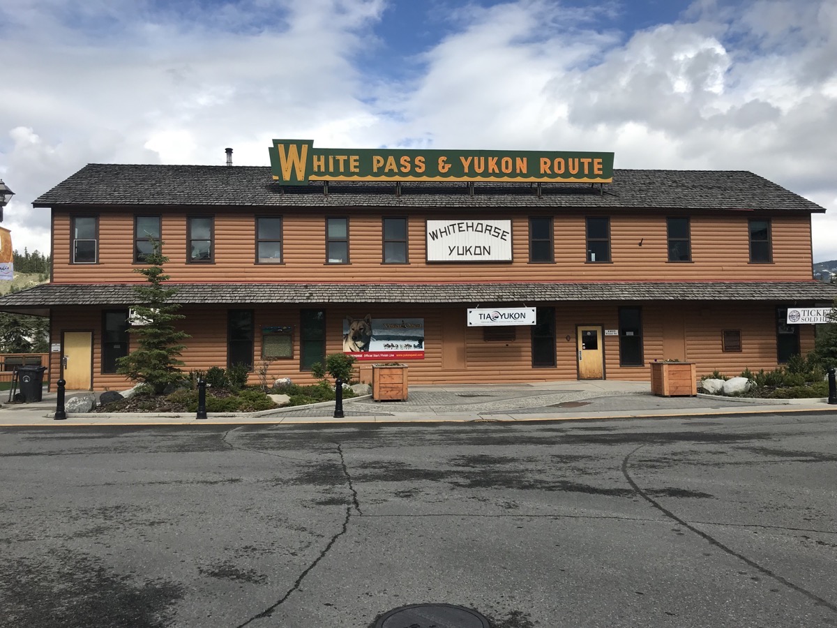
White Pass & Yukon Train Station in Whitehorse
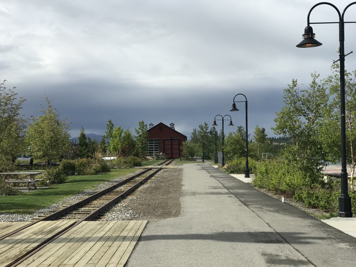
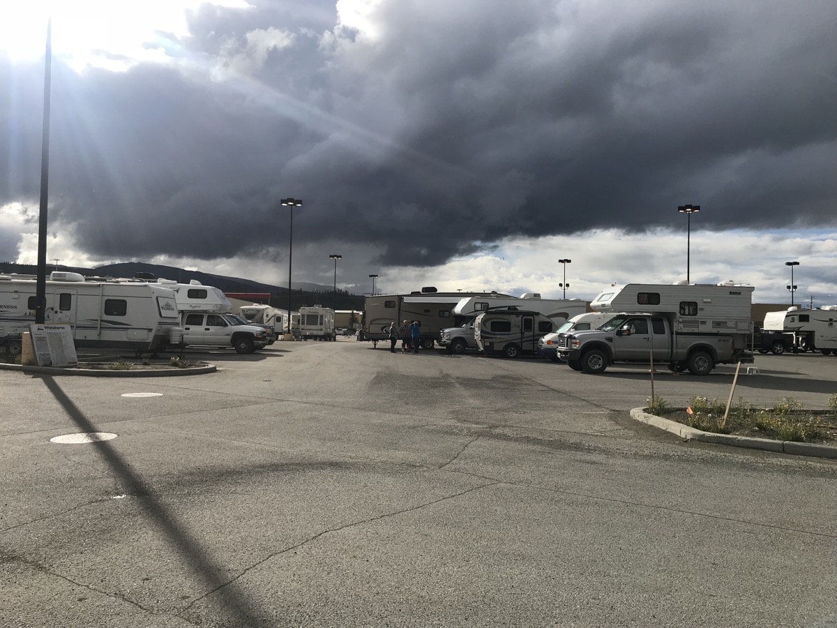
There were THIRTY RVs in the Whitehorse Walmart Parking at 7:00 tonight. I wonder how many arrived after we counted them???
Trip Statistics
- We are staying in the Hi Country RV Park in Whitehorse for $23.89
- We drove 104 miles in the motorhome and 11 miles in the Honda. Our trip total is now 5,323.
-
Day 31 - Watson Lake to Teslin, Yukon
It was another beautiful day when we woke up!
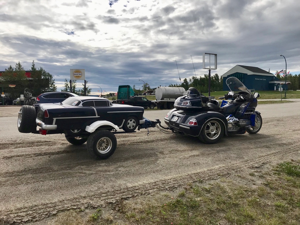
Before we left Watson Lake, Tom added air to the motorhome tires. When we pulled out of the garage parking lot, we saw this cute duo stopped at the Sign Post Forest.
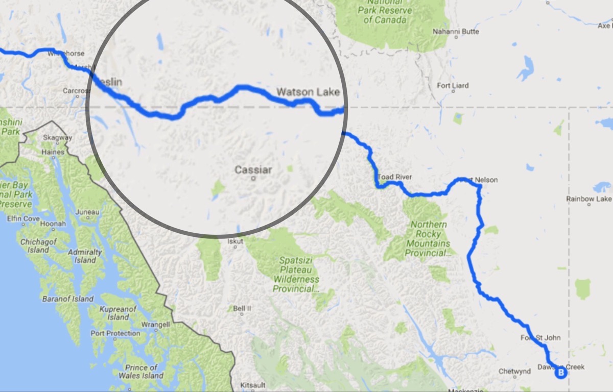
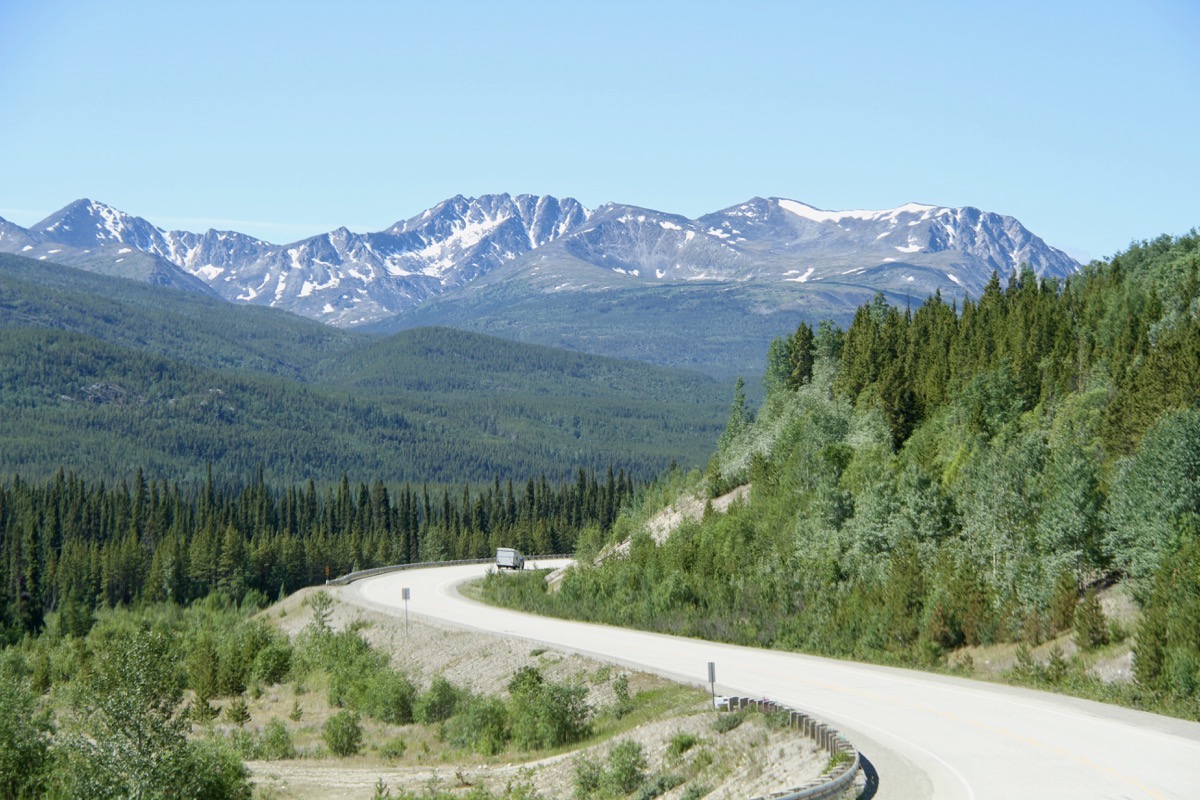
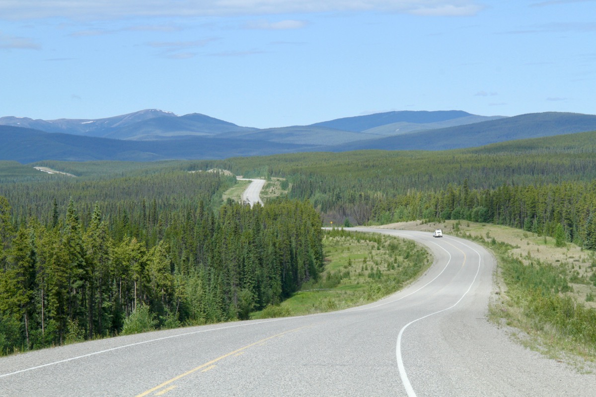
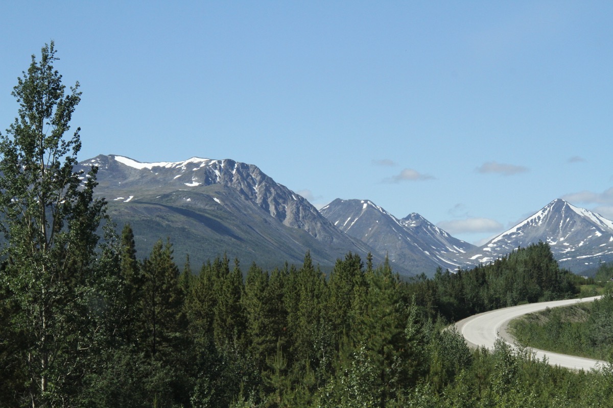
The 164 mile drive was on good road, but in a very remote area with some beautiful scenery. In that entire drive we saw very few other vehicles and only two places to stop for gas.
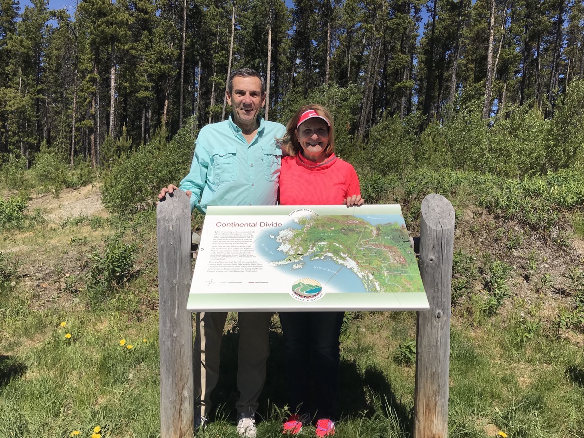
We stopped at the Continental Divide. One side drains east into the Rancheria River, then to the Liard River, to the Mckenzie River and eventually reaches the Arctic Ocean. The other side drains to the Swift River to the west which flows into the Teslin River to the Yukon River enroute to the Bering Sea (Pacific Ocean)
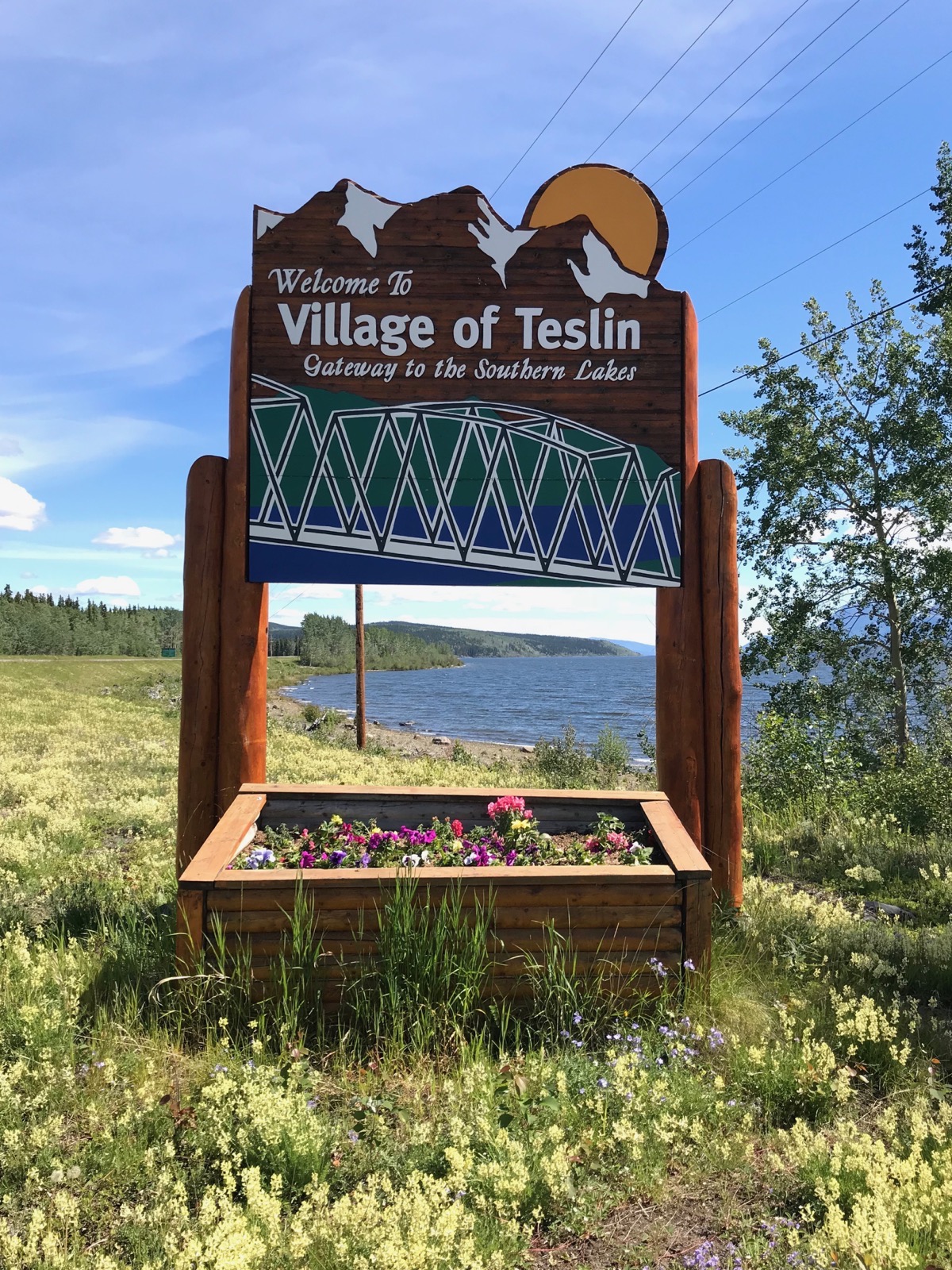
Teslin, Yukon - population 450
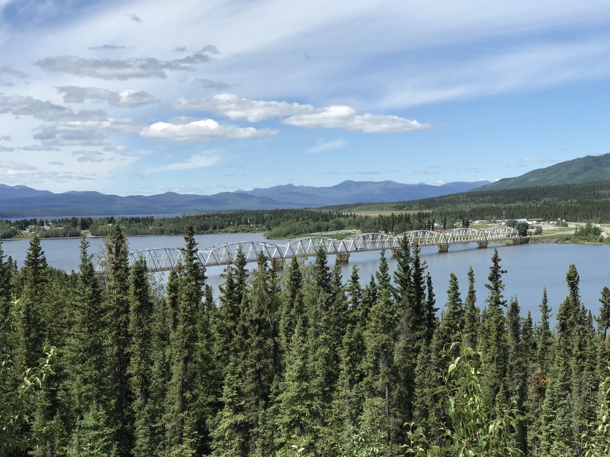
Once we pulled our motorhome into space 22 of theYukon Motel and RV Park, we walked across the street to check out the small grocery store and decided to walk what we though was a short distance to the TeslinTlingit Heritage Center. The walk ended up being a round trip of 6.2 miles and the center was definitely NOT worth the effort. There were some small totem poles out front and an interesting building design, but the displays were not worth the distance we walked.
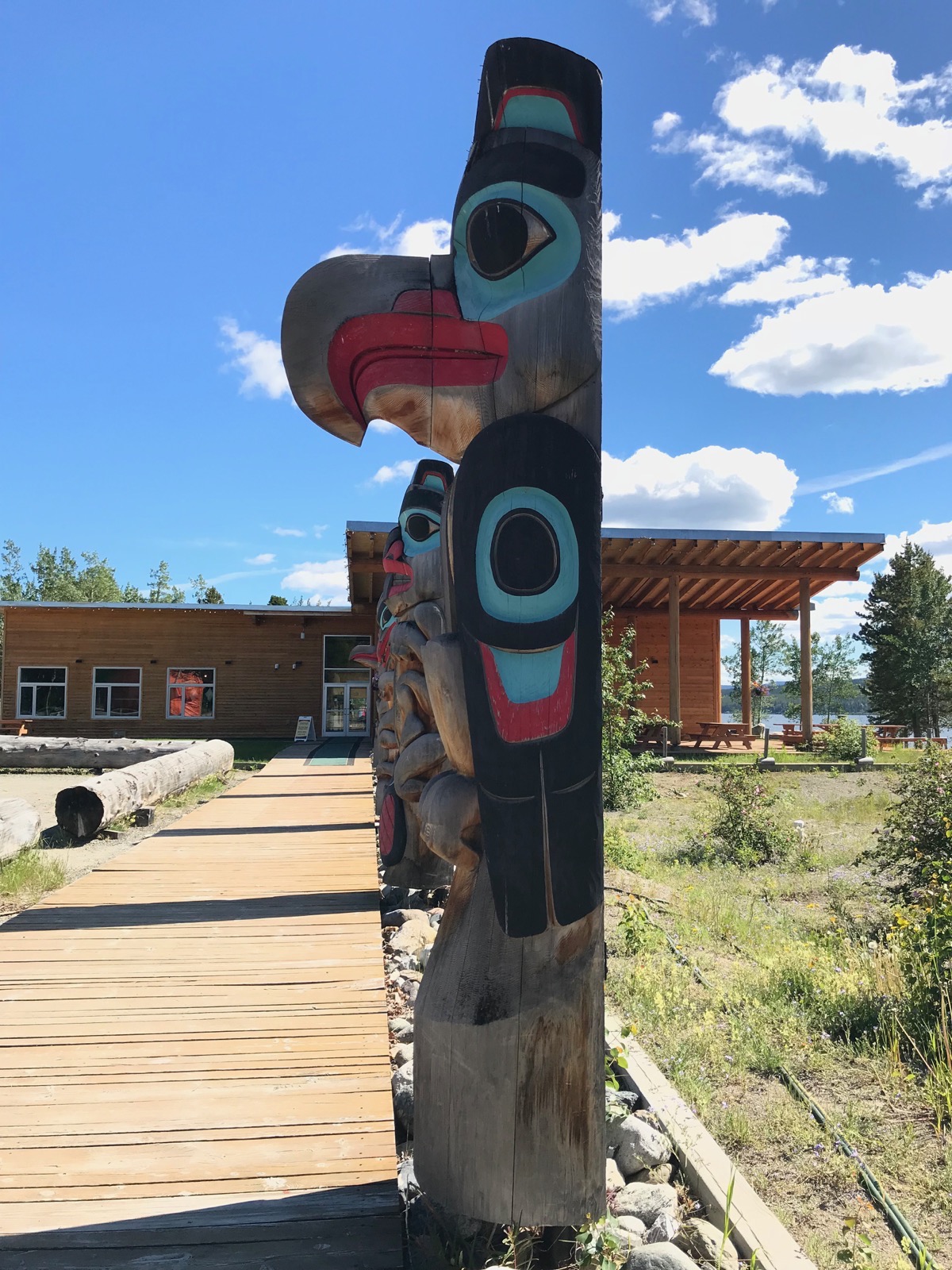
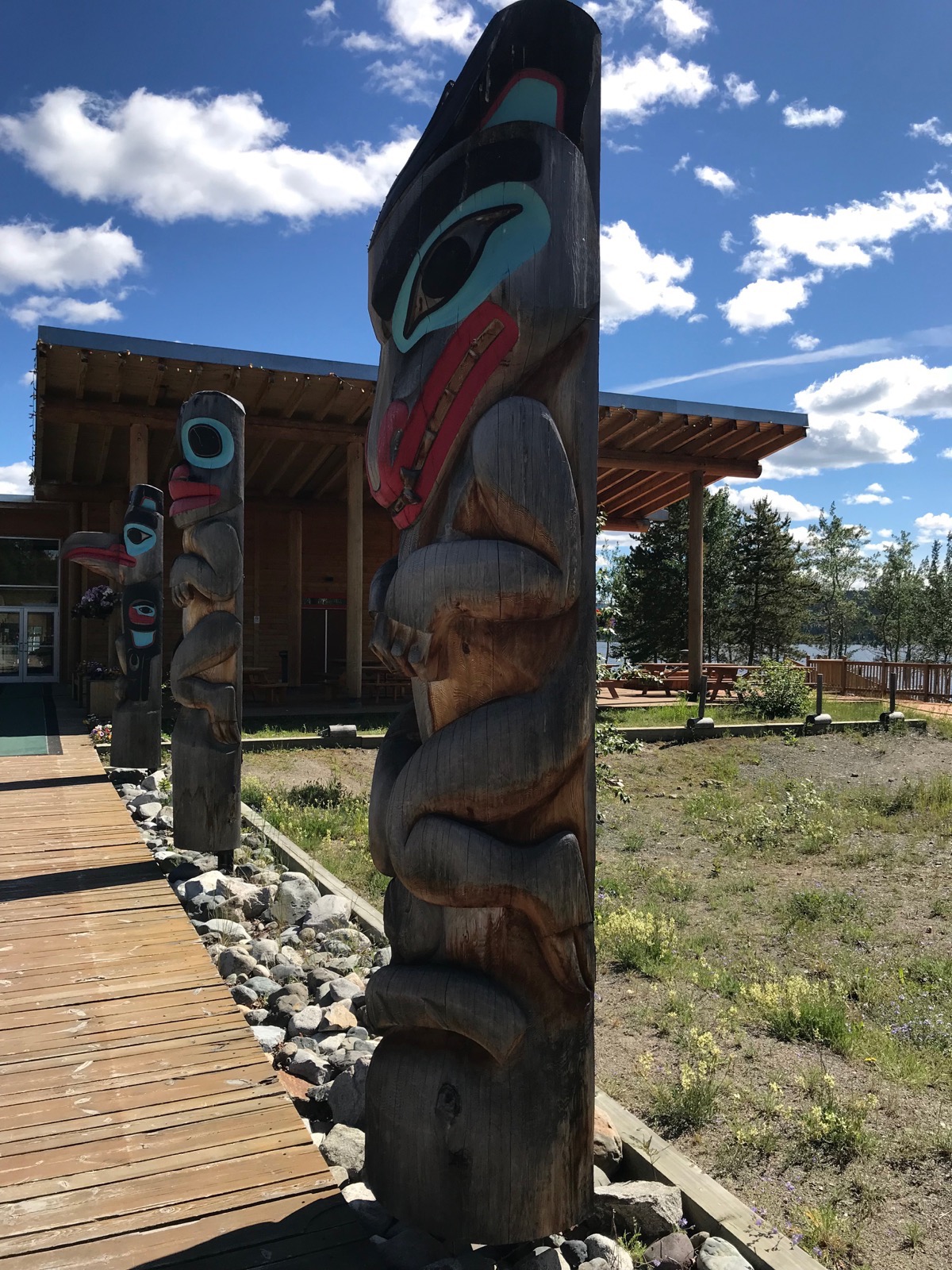
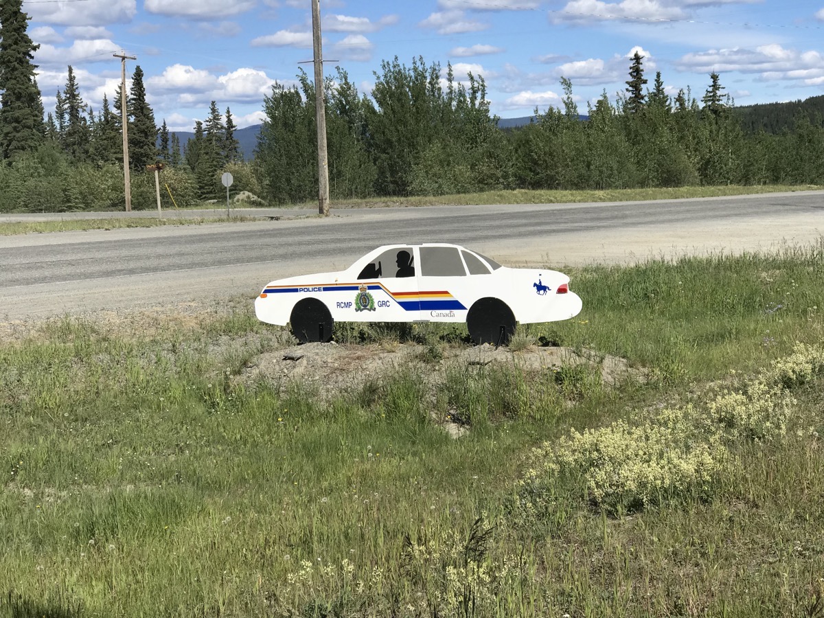
Be careful not to speed or you may get stopped by this wooden cut out of a police car!
Our new RV friends, The DeBols and the Richardsons invited us for hamburgers and potato salad this evening. Both couples are originally from Michigan and RV full-time now. We stayed at their campsite and visited until almost 9:00.
Trip Statistics
- We are staying at the Yukon Motel and RV Park for $27.06 (USD)
- We drove 164 miles today. Gas was $3.87 (USD) per gallon today and the fill-up cost $146.76.
- Sunrise was at 4:27AM and sunset was at 11:19PM
-
Day 30 - Watson Lake, Yukon
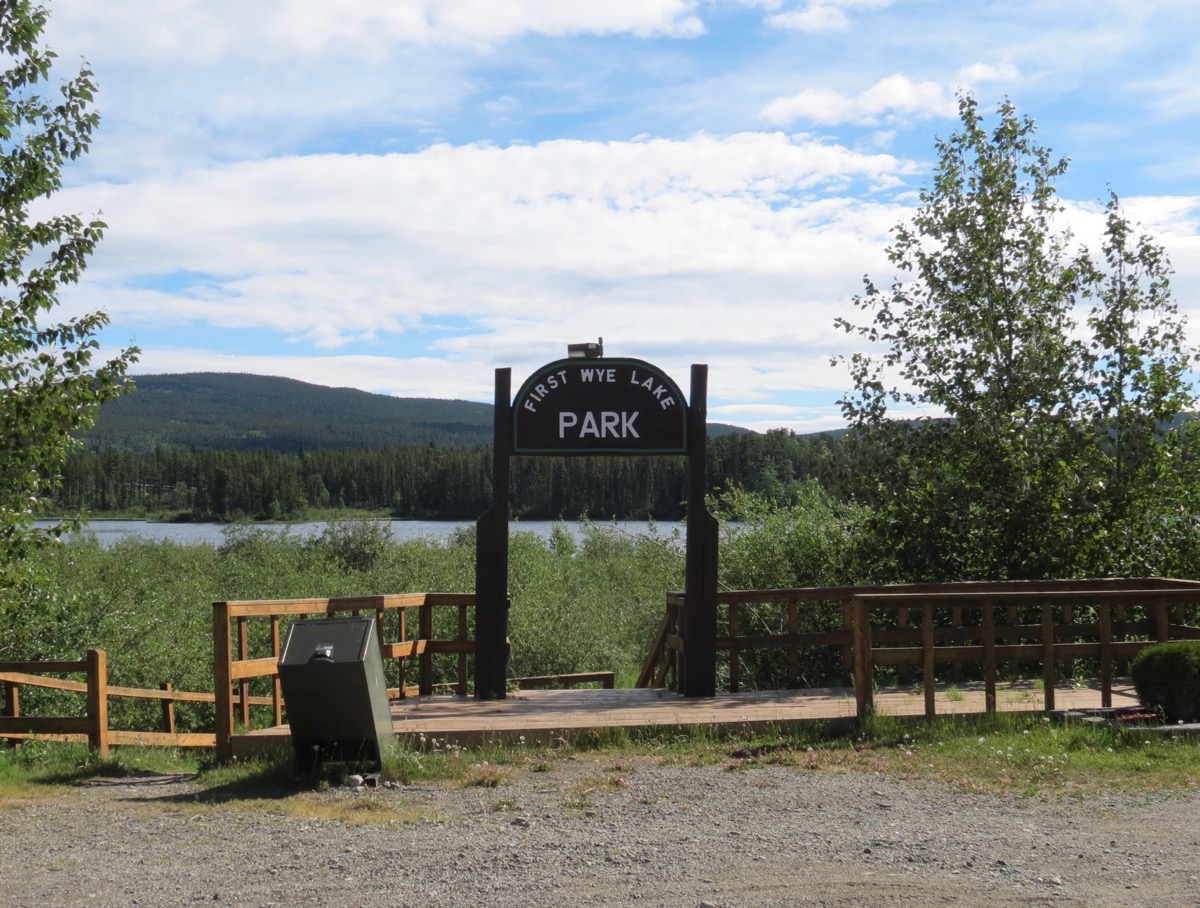
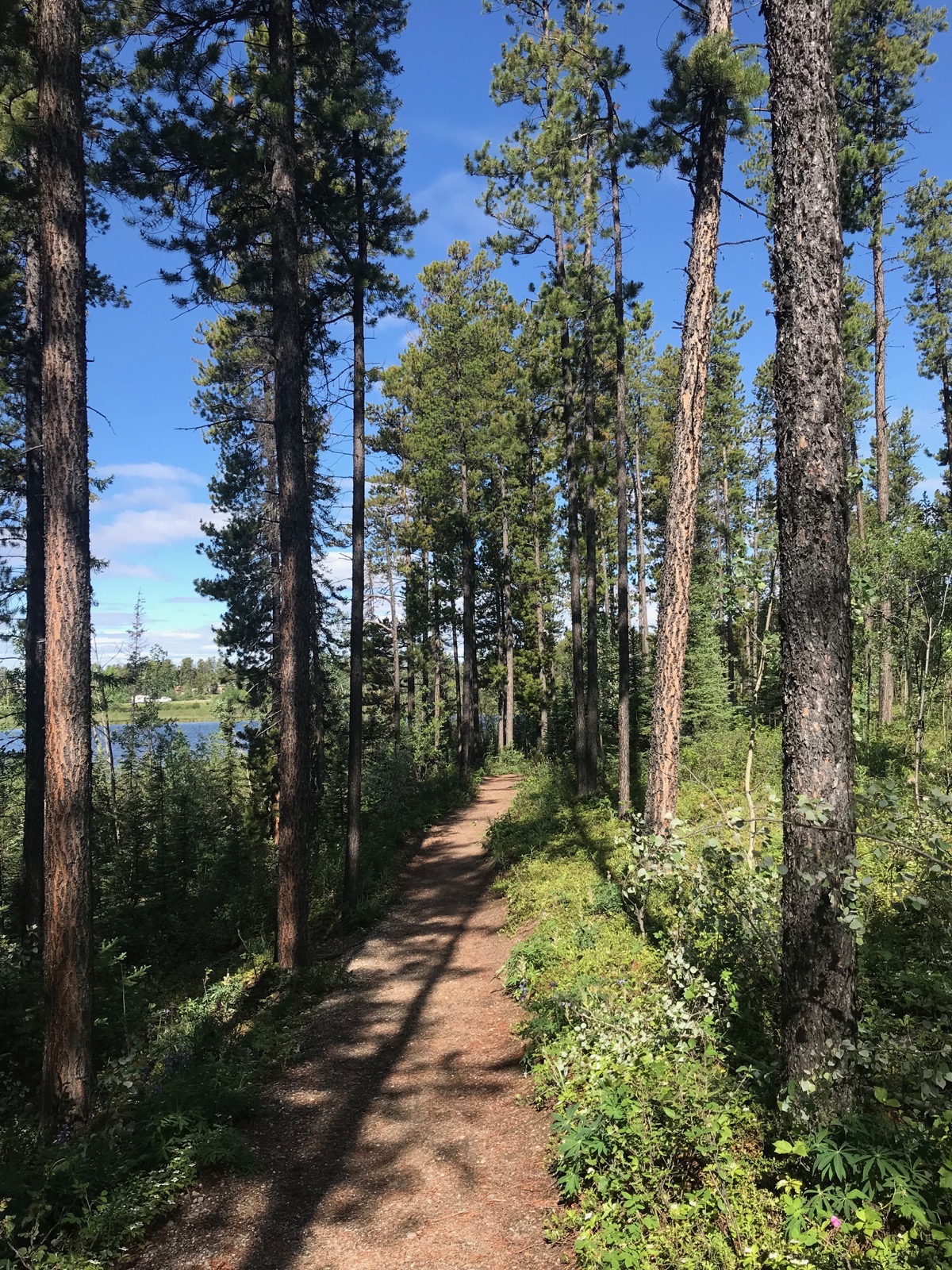
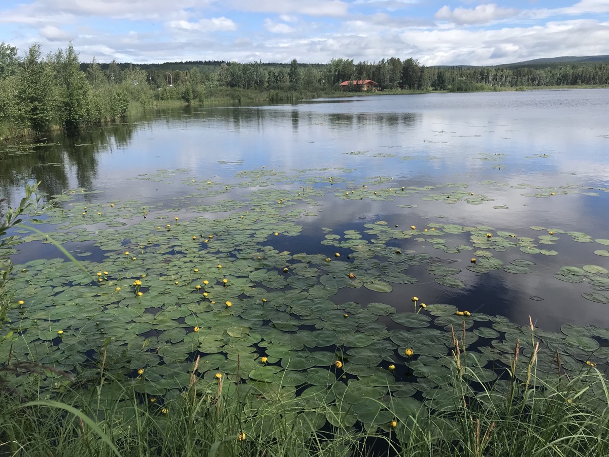
We woke this morning to sunshine and beautiful blue skies and a temperature of 53. Even though we weren’t awake to see it, sunrise was at 4:12 am. After breakfast we took a 2.5 mile stroll around Rye Lake, and then came back to the campground and did the laundry.
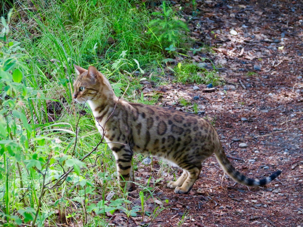
Check out this beautifully marked cat!
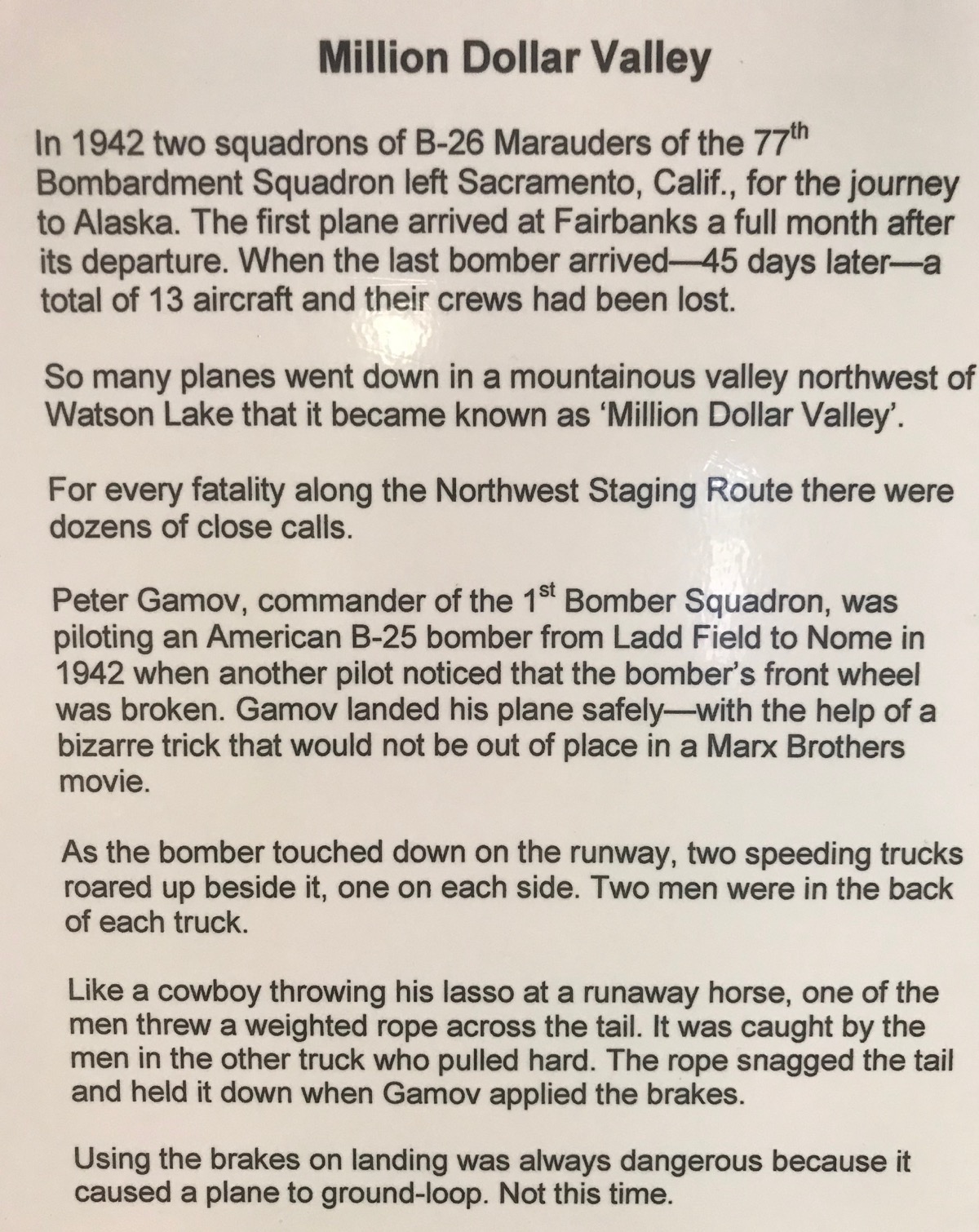
After lunch we drove to the Watson Lake Airport to read about the area’s history. Neither Tom nor I realized that the US government gave Russia 5,000 airplanes to defend against the invasion of Germany under a Lend-Lease program in WW2. Just like every other program that involves governments, there was more given than just airplanes.

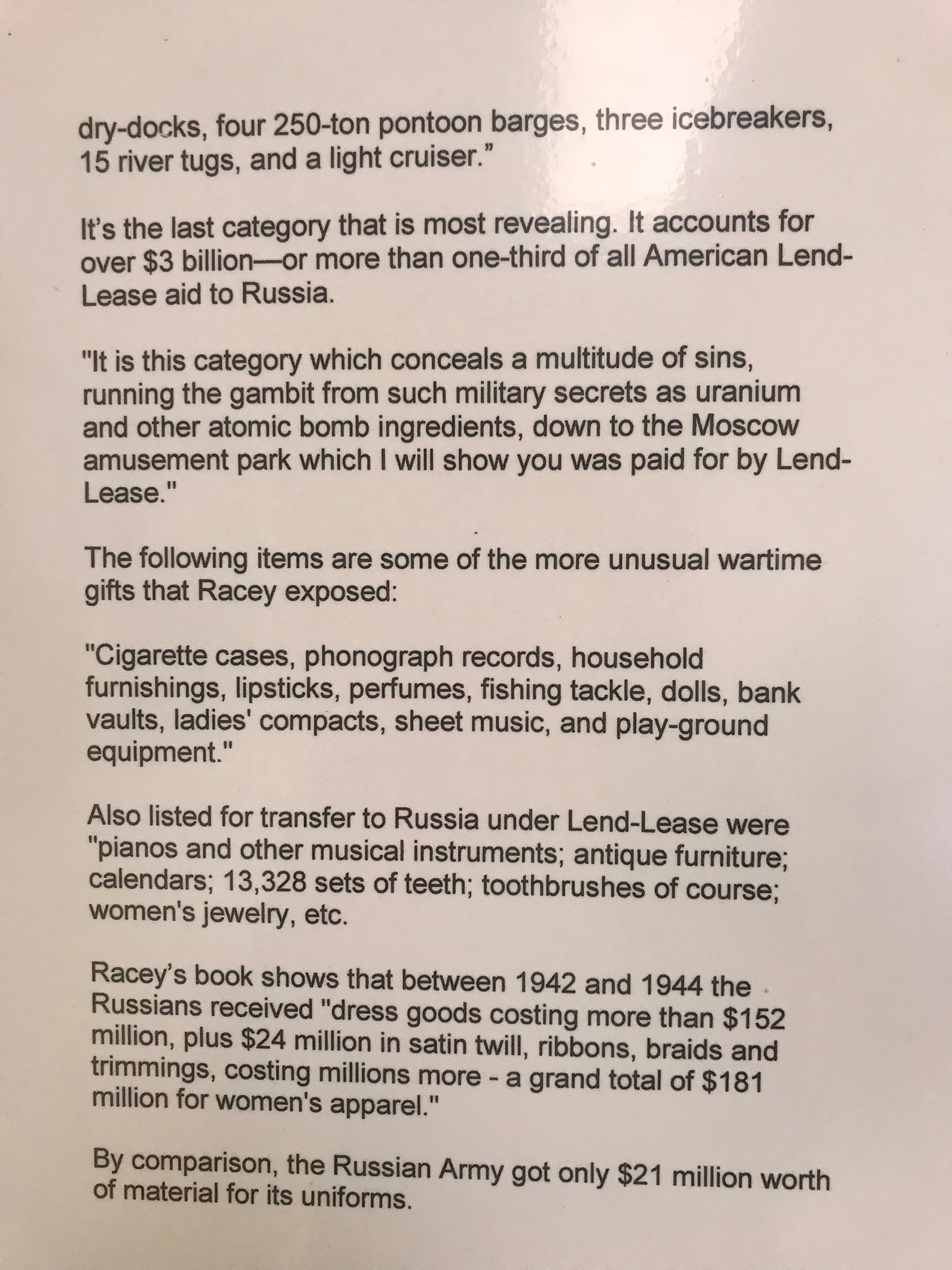
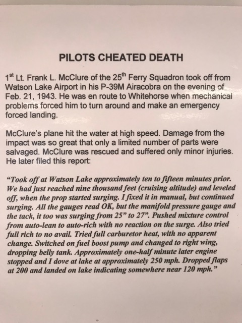
and finally, a story about a miracle landing...
…and a miracle survival
The sun is scheduled to set at 11:02pm tonight.
Trip statistics
Today we drove 20 miles in the car for a total combined mileage of 5,044 miles.
We are staying for the second night at the Downtown RV Park in Watson Lake at a cost of $36.49 US ($48,50 CAN). The total cost for campgrounds so far is $887.91 or an average of $29.50 per night.
-
Day 29 - Watson Lake, Yukon
We left Liard River Provincial Campground this morning around 10:00 and drove 129 miles to Fort Watson, Yukon.
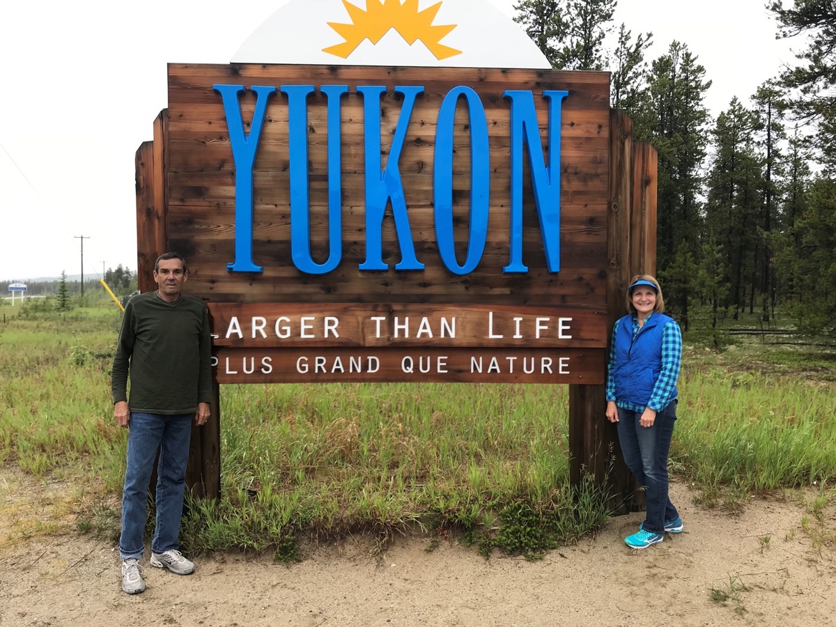
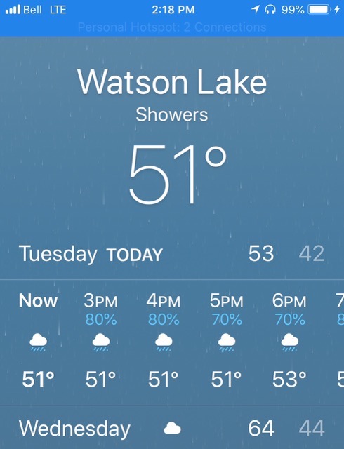 Even though it was raining and cold, we put on our raincoats and walked through town (which is only two blocks) and through the Sign Post Forest.
Sign Post Forest
The Sign Post Forest is Watson Lake’s most famous attraction. Travelers from around the world have been bringing signposts from their hometowns to the Sign Post Forest since 1942 and continue to do so today.
The tradition began during the Alaska Highway Project in 1942, when U.S. soldier Carl K. Lindley spent time in Watson Lake recovering from an injury. A commanding officer asked him to repair and erect the directional signposts, and while completing the job, he added a sign that indicated the direction and mileage to his hometown of Danville, Illinois. Others followed suit, and the trend caught on. In 1990, a couple from Ohio added the 10,000th sign in the Signpost Forest. Today, there are over 85,000 signs in the Forest, and the number grows each year as visitors contribute signs and continue the tradition. We didn’t bring one to add, but we did see some from both WV and LA.
The population of Watson Lake is 790–which must be at least doubled right now with all the RVs!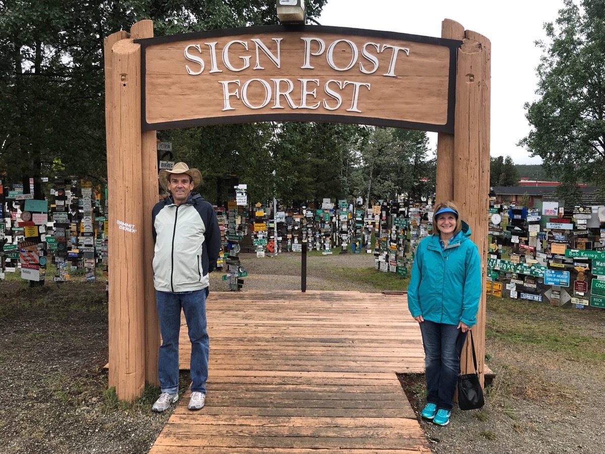
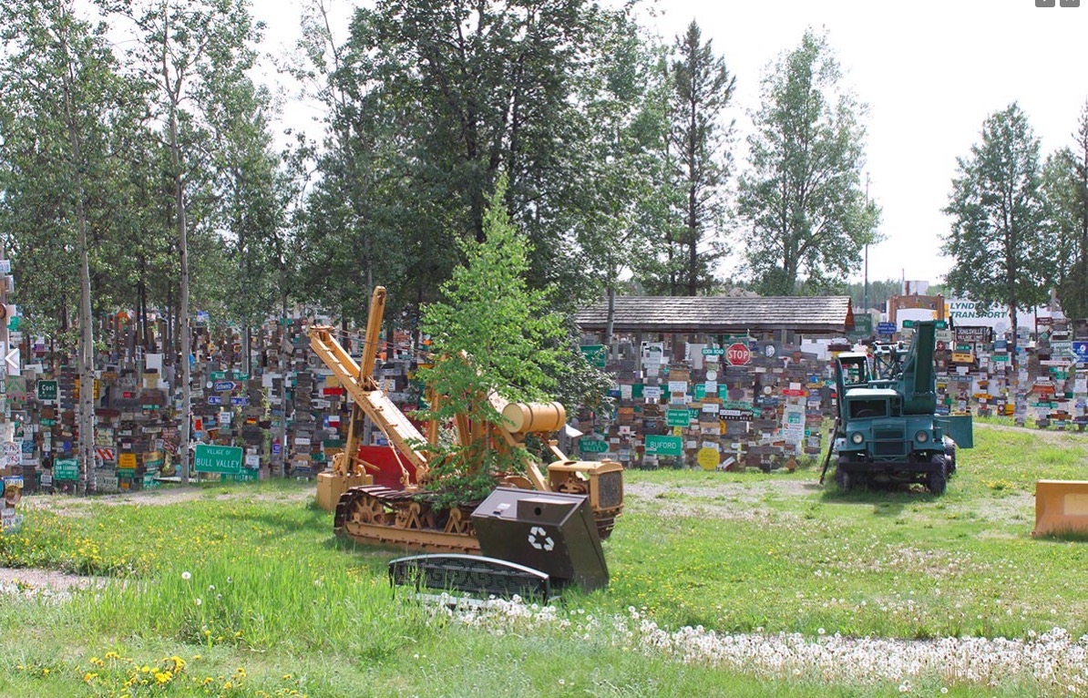
The equipment pictured was used to build the Alaska Highway in1942
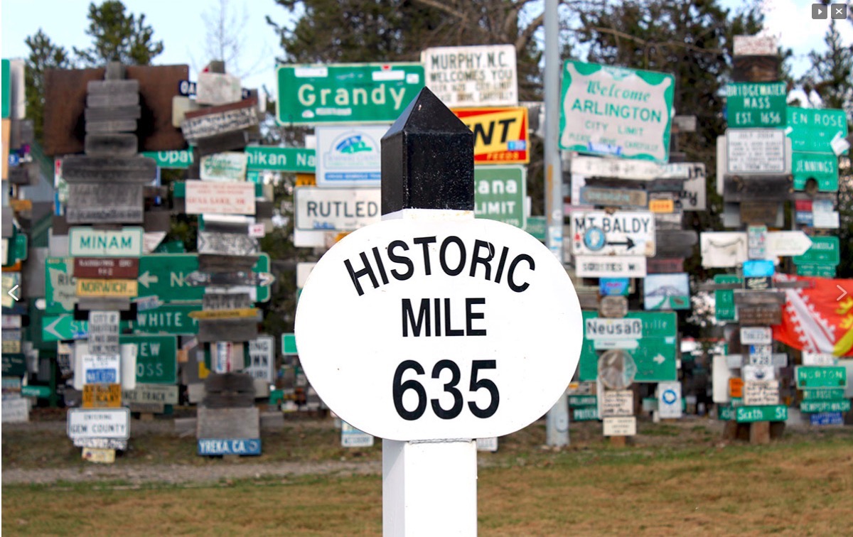
The original mileage for Walson Lake on the Alaska Highway before it was modernized and shortened
Completed in 1942 at a length of approximately 1,700 miles, as of 2012 it is 1,387 miles long. The difference in distance is due to constant reconstruction of the highway, which has rerouted and straightened out numerous sections.
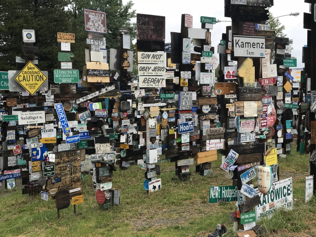
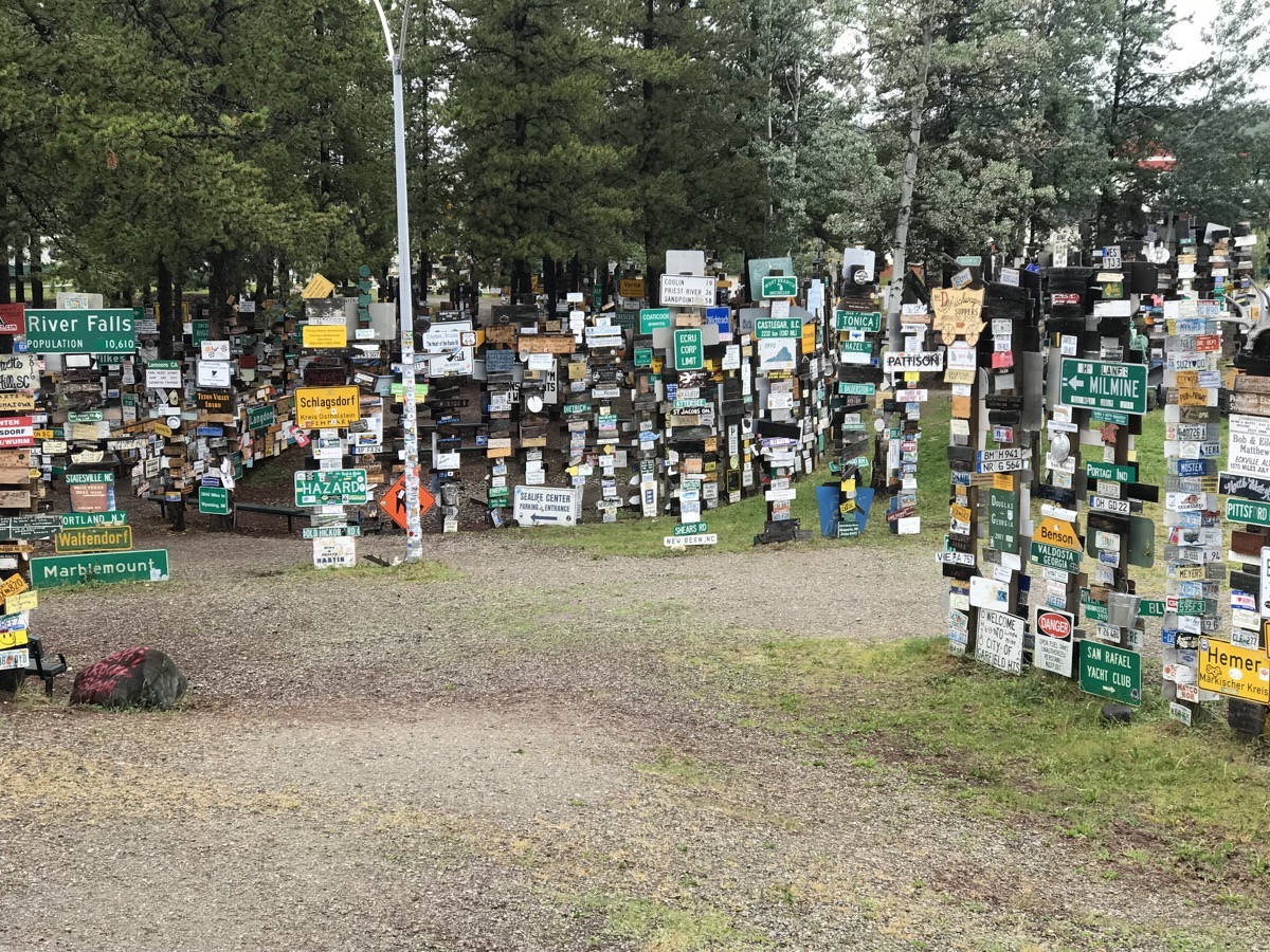
Although we didn’t bring a sign to add to the collection, we did find signs from WV and LA!
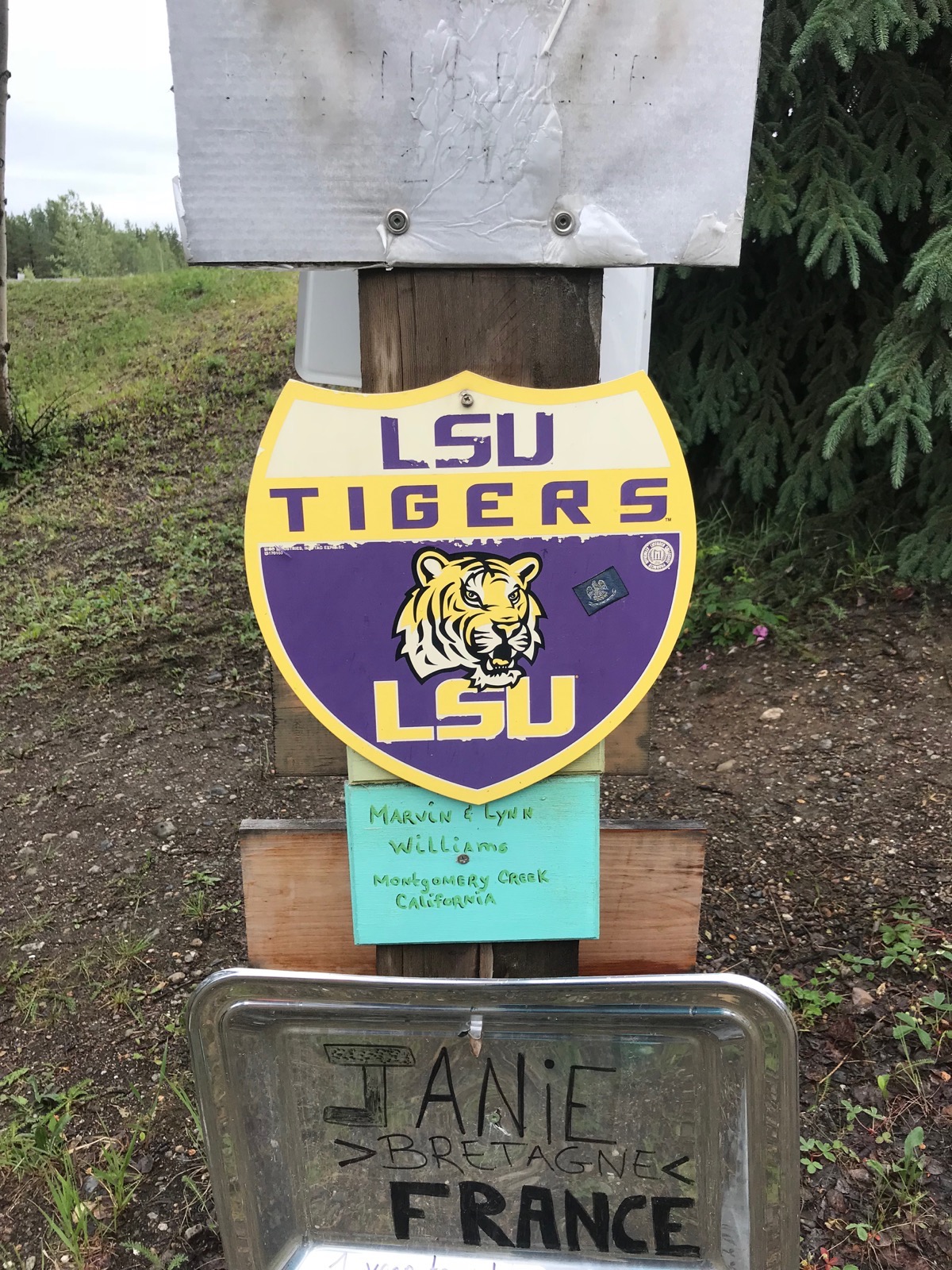
Go Tigers!
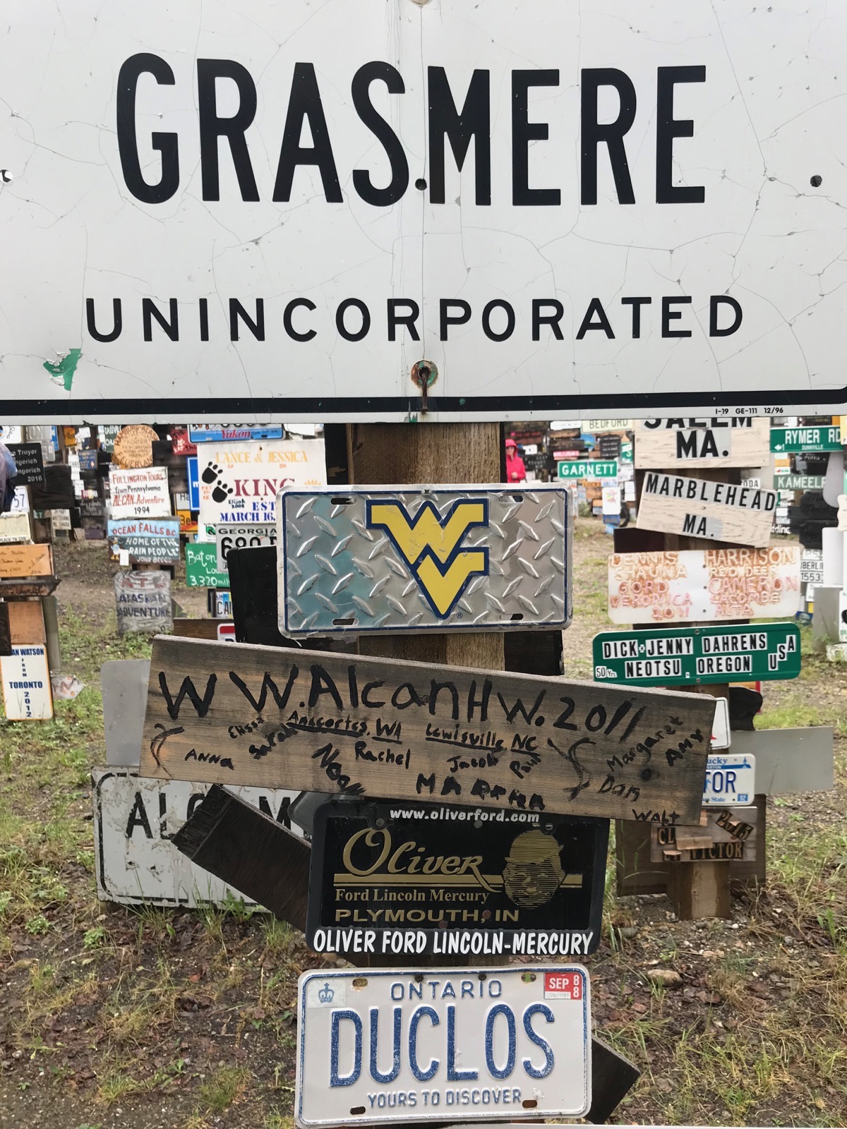
Let’s go, Mountaineers!
Northern Lights Center
After lunch we walked over to the Northern Lights Center to watch a spectacular presentation on the amazing phenomena known as the ‘Northern Lights’ or ‘Aurora Borealis’. This center has a state-of-the-art full dome video and surround-sound system that incorporate interactive displays that explain the science and folklore of the Northern Lights.
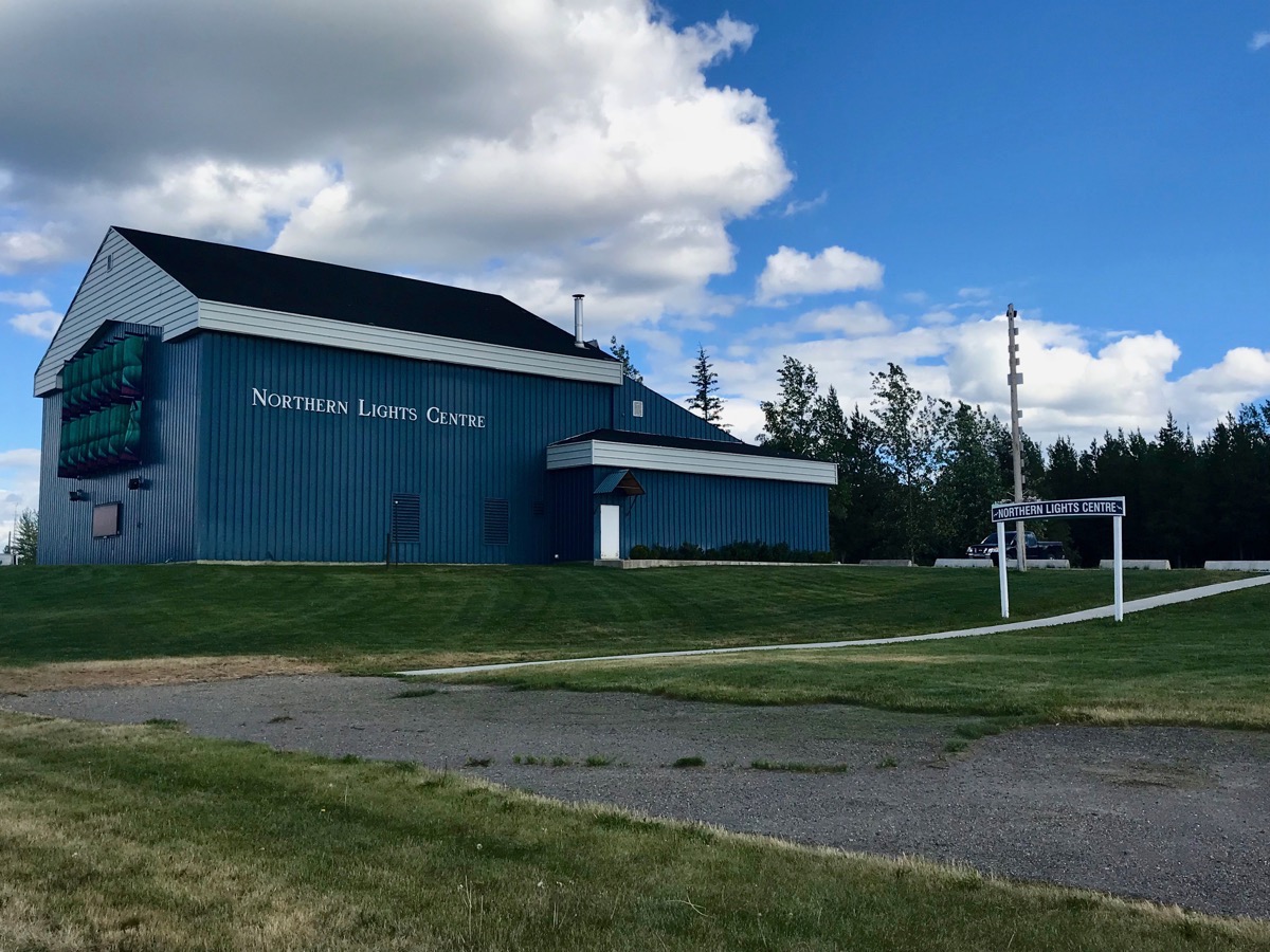
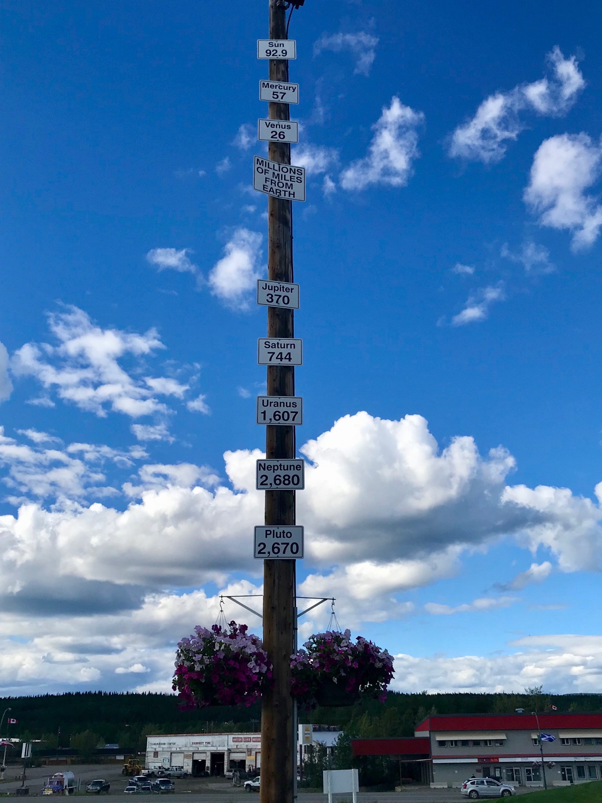
A signpost for the millions of miles each planet and the sun is from Earth.
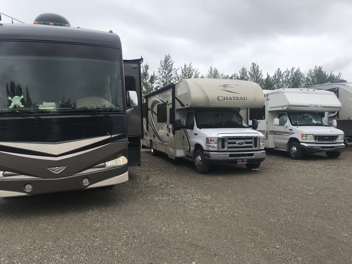
This is our home for tonight—a flat gravel lot with full utilities, but no ambience.
Trip Statistics
- We drove 129 miles today in the motorhome for a total of 3,941 miles. For the car and motorhome we topped the 5,000 mark with 5,024 miles.
- We are staying at Downtown RV Park for $48.50 CAN ($36.86 USD)
-
Day 28 - Muncho Lake and Liard River Hot Springs
Left the campground at 9:15 in light rain and 50 degree temperatures. 100% rain predicted for the day. and it rained, and it rained—all day long.
Signpost we saw this morning: “All those who hate speeding tickets raise your right foot!”
We saw two adult moose and two calves in the middle of a small lake, but not at a place where we could stop to take a picture.
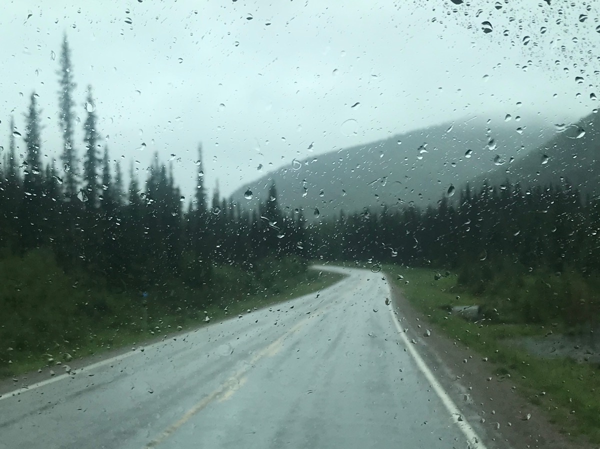 Our view—before I figured out to keep my finger on the button on my iPhone and take 30 pictures to get one where the windshield wipers have just cleaned the glass and aren’t in the middle of the picture.
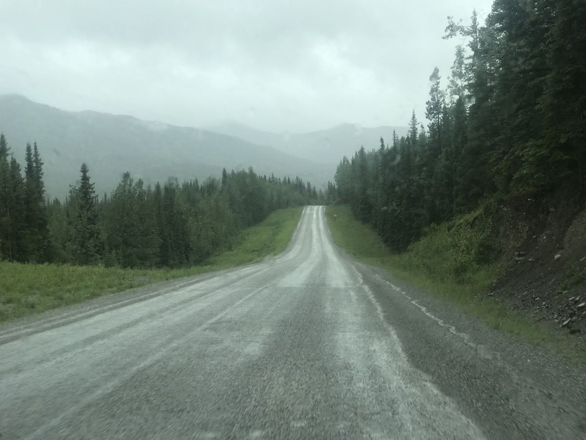
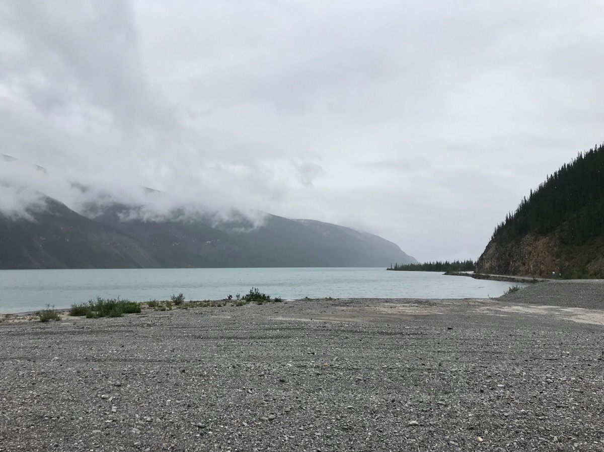
This is Muncho Lake in the rain. Normally the water is a beautiful glacier blue, but not today.
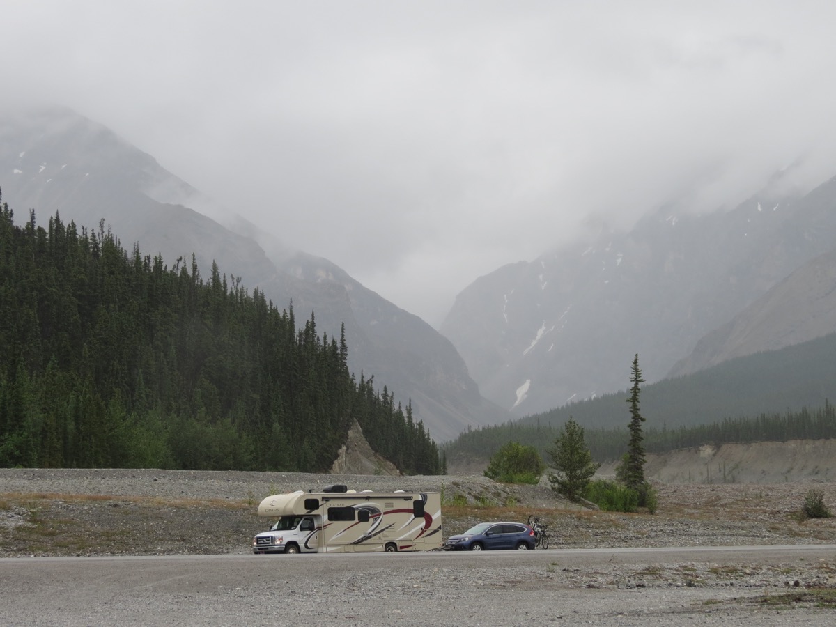
Even in the rain the scenery is quite grand
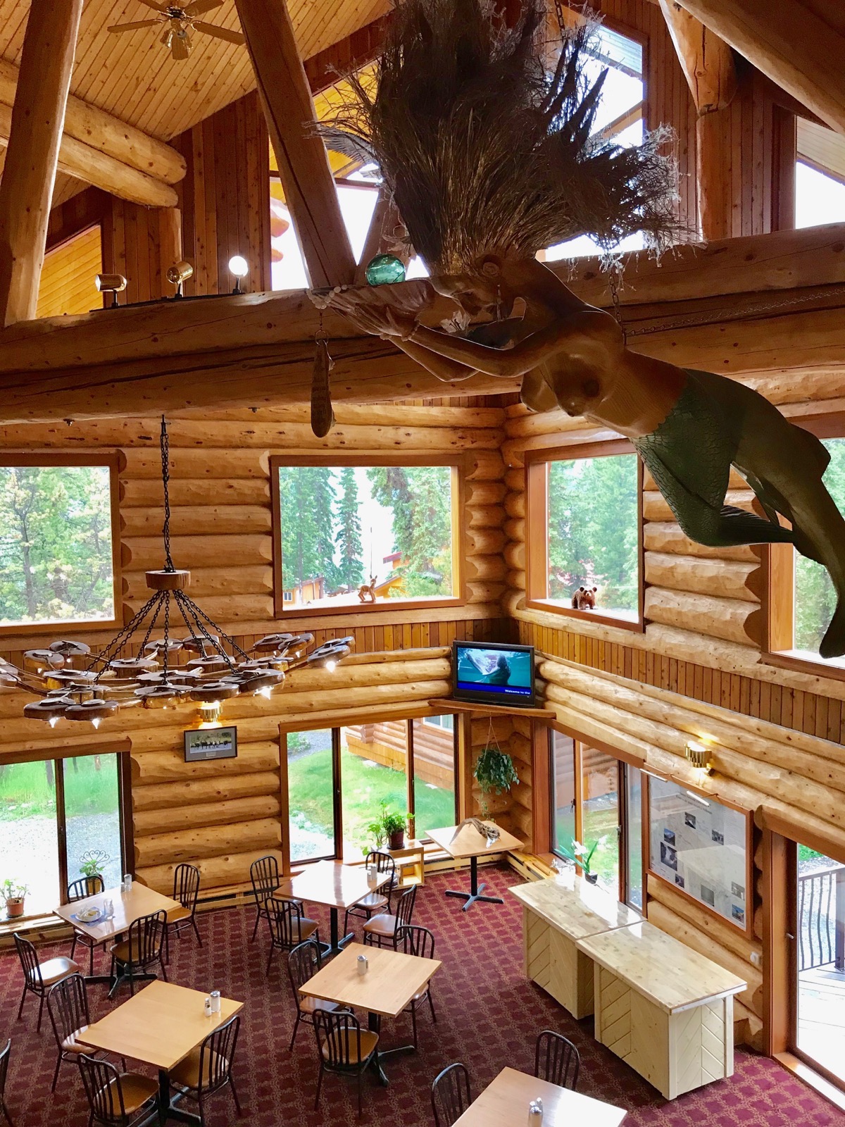
The Northern Rockies Lodge. Check out the Mermaid hanging from the ceiling!
We stopped for gas at The Northern Rockies Lodge, but at $5.39 a gallon USD (1.959 a liter CAN), we didn’t get much.
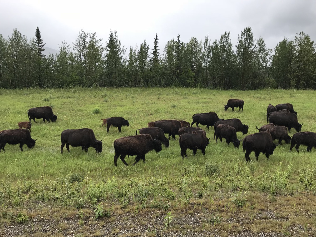
These bison were right beside the road. The campers that came behind us had to wait while the bison decided to cross the road.
Liard River Hot Springs
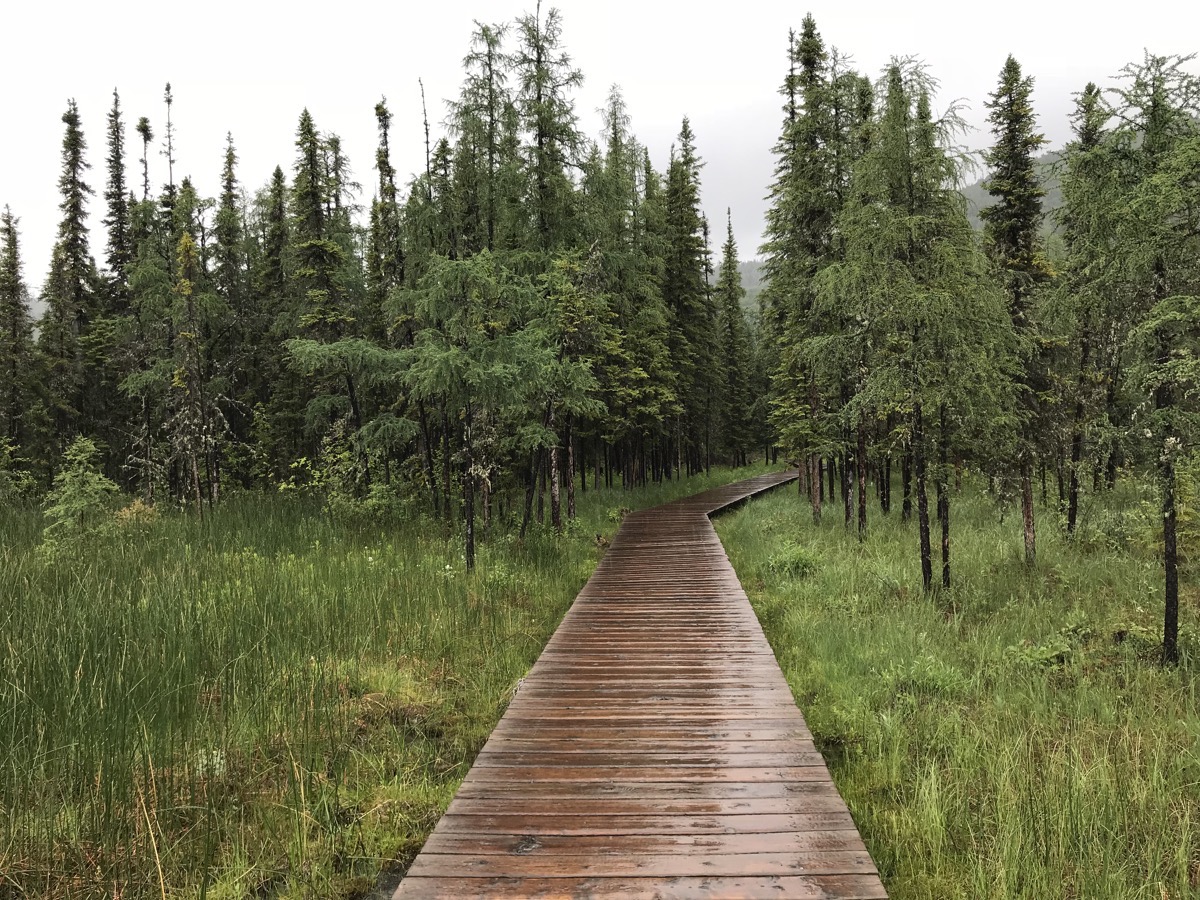
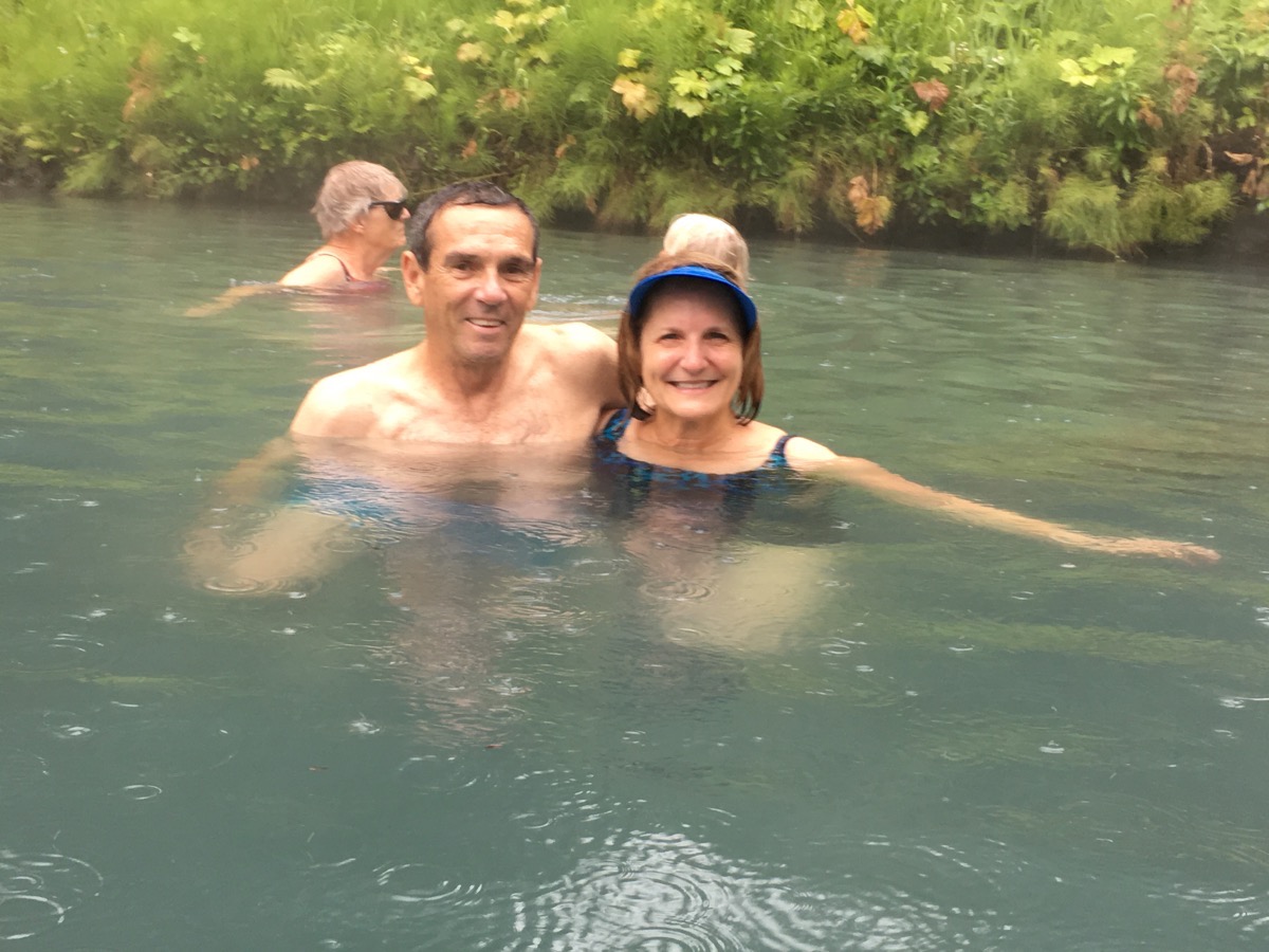
We were planning to stop for the night at Muncho Lake, but since it was raining and dreary, we drove 37 more miles to Liard River Hot Springs. Even though it was raining, we parked the motorhome for the night, changed into our bathing suits and walked the boardwalk to the springs (in our rain suits over the bathing suit). It felt wonderful to be sitting in the springs with the outside temperature near 50.
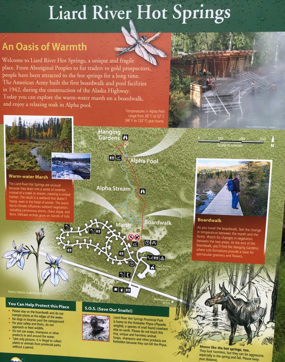
According to the sign above the Army first built a boardwalk to the Springs while they were constructing the Alaskan Highway.
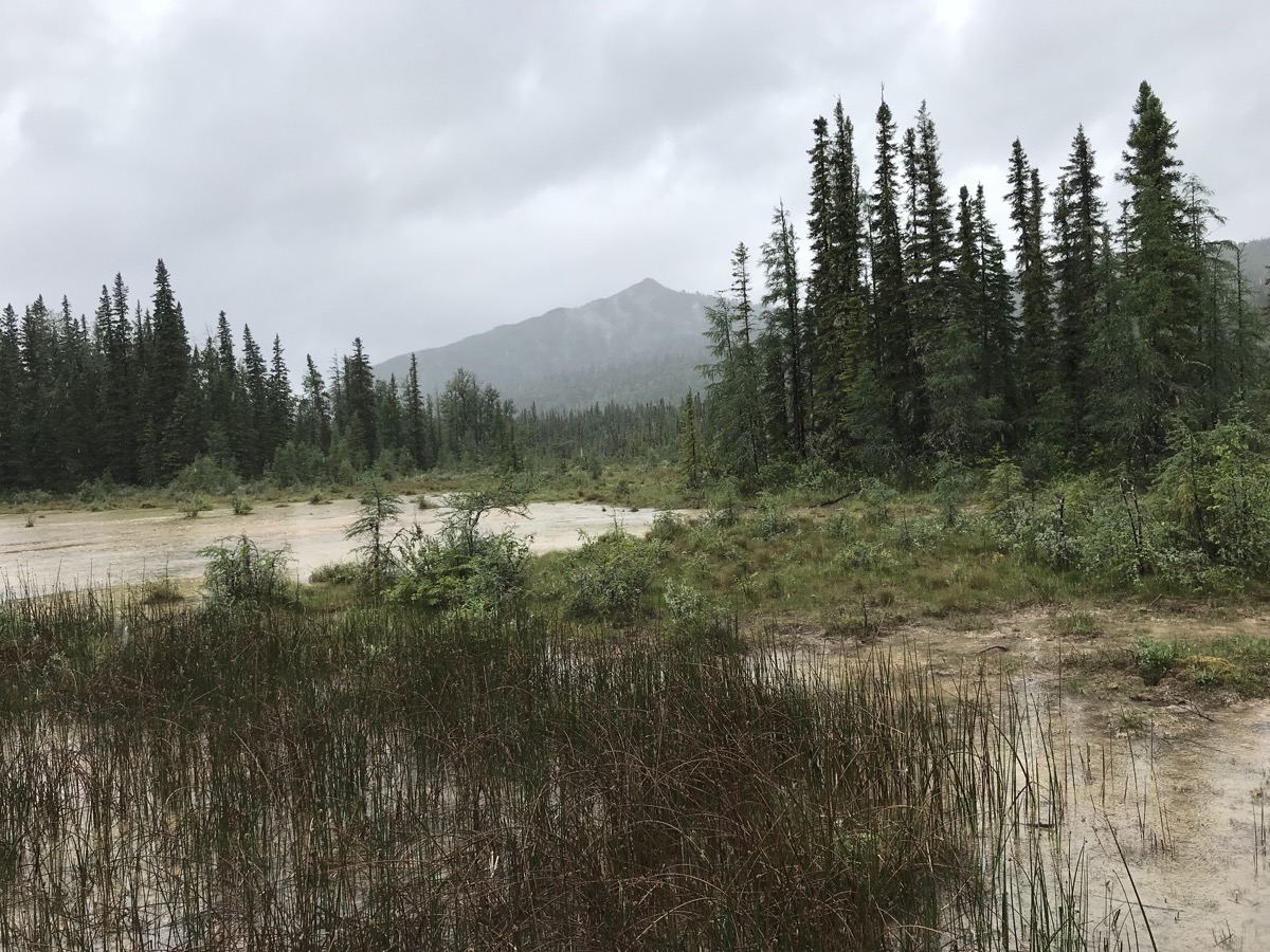
Another view while walking the boardwalk to the springs
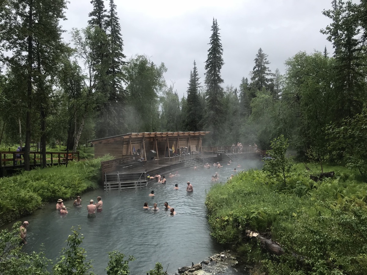
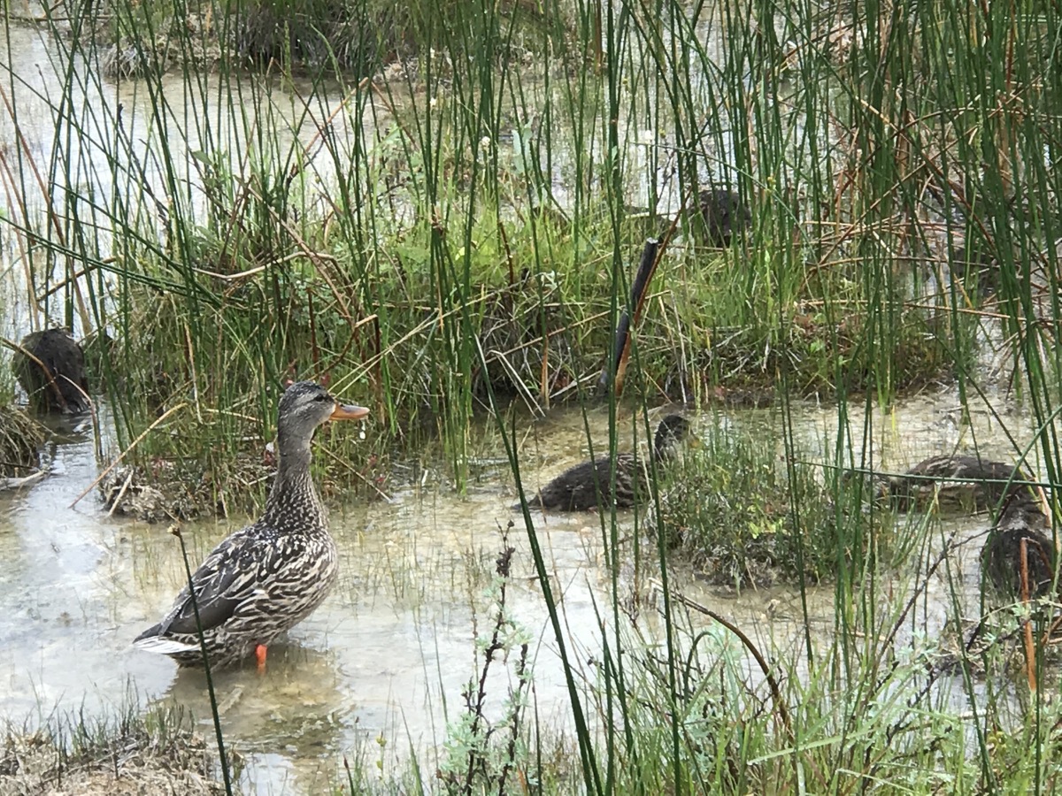
The Liard Hot Springs
Trip Statistics
- We drove 188 miles today in the motorhome for a trip total of 4,885 miles so far.
- Gas was $5.39 a gallon
- Tonight we are staying at the Liard River Hot Springs Provincial Park for $19.76 USD. Our campground total is $814.78 for an average of $29.09 a night.