-
Day 27- Ft Nelson
Fort Nelson, British Columbia
We left the campground at 9:15 and arrived in Ft. Nelson, British Columbia around noon.
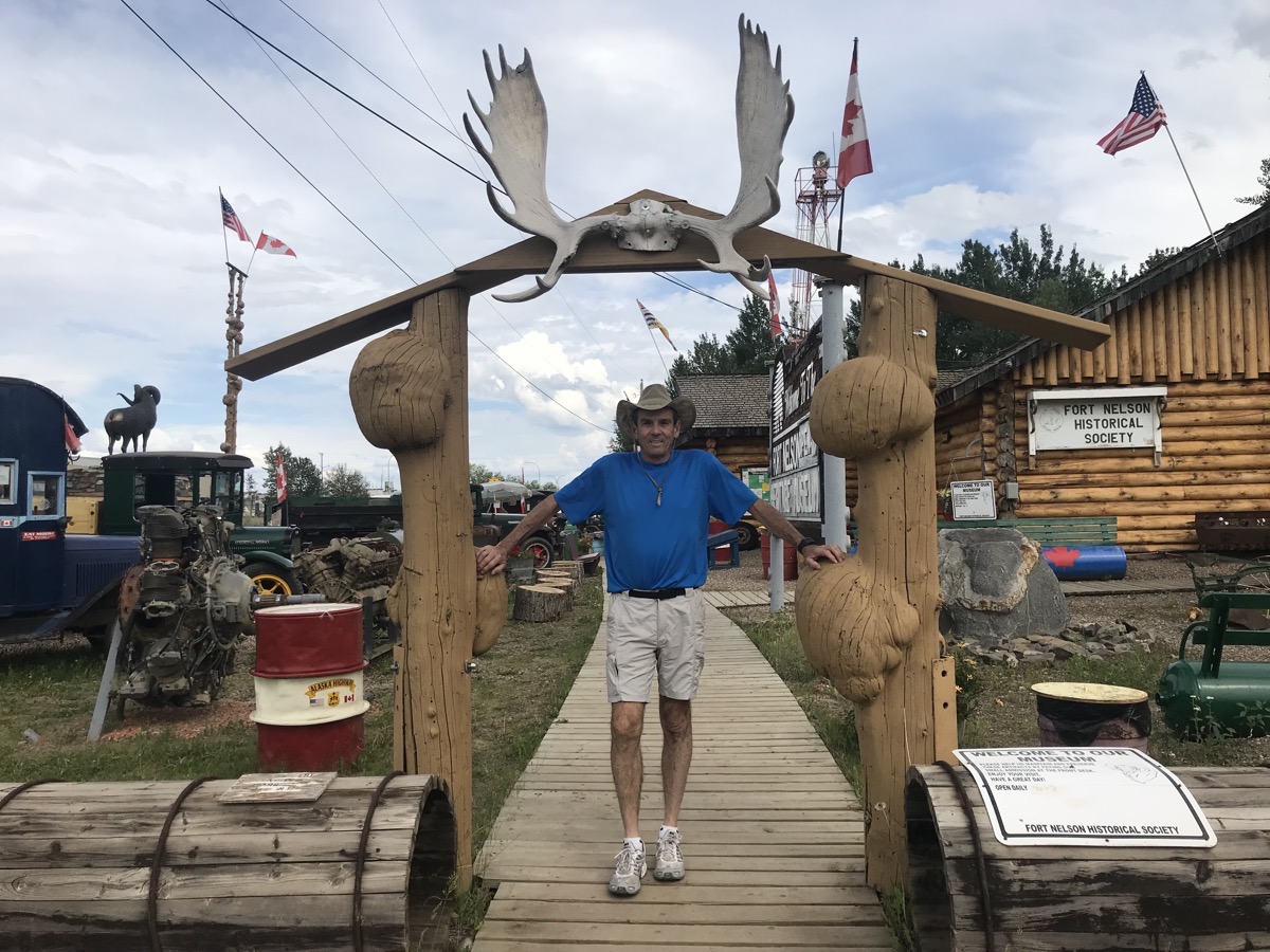
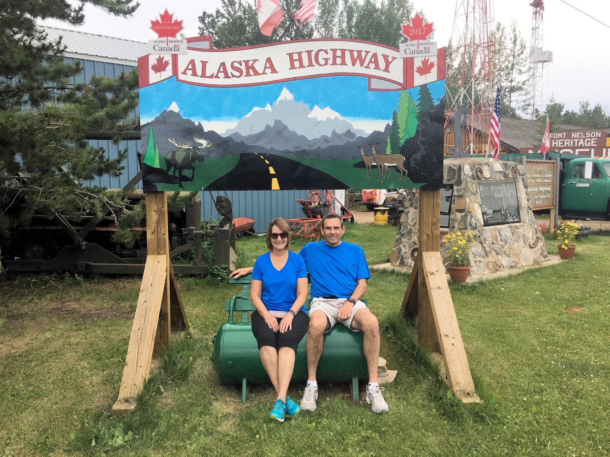
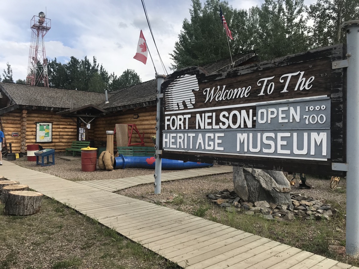
We toured this museum and watched another documentary of the 1942 building of the Alaskan Highway which forever changed this part of Canada.
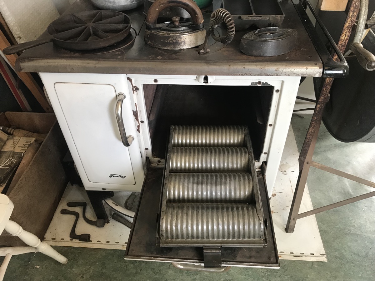
Can you guess what kind of pan this is (in the oven)?
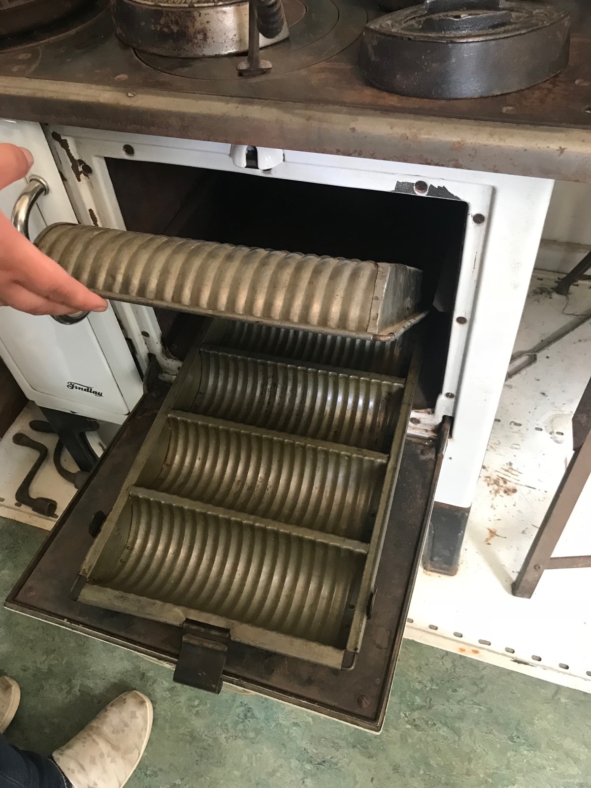
It’s a pan for baking bread—with the slices already marked
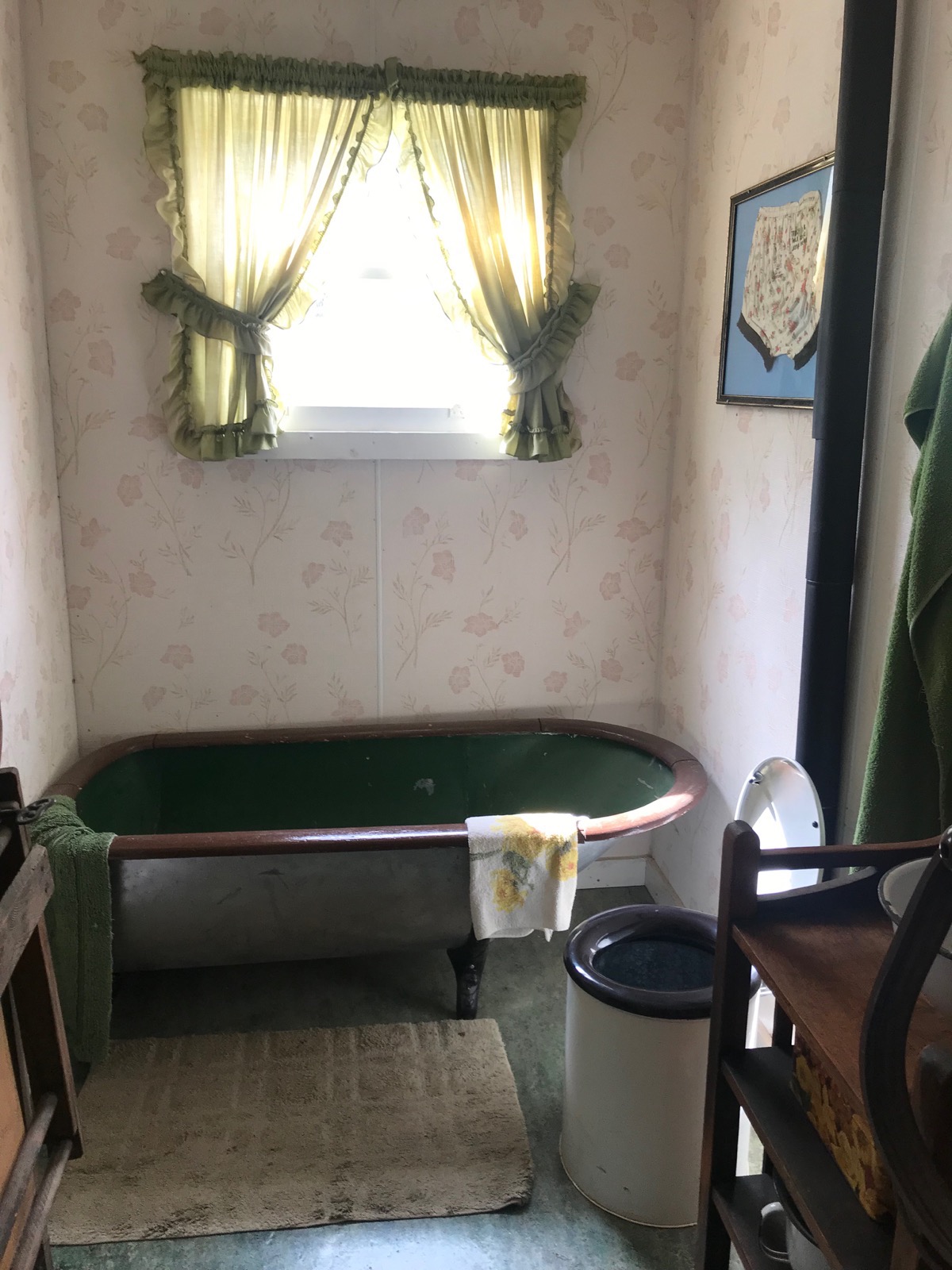
This is the bathroom of a house built in 1943 and used by the Hudson Bay Trading Company. It was the first home to have inside plumbing—sort of!
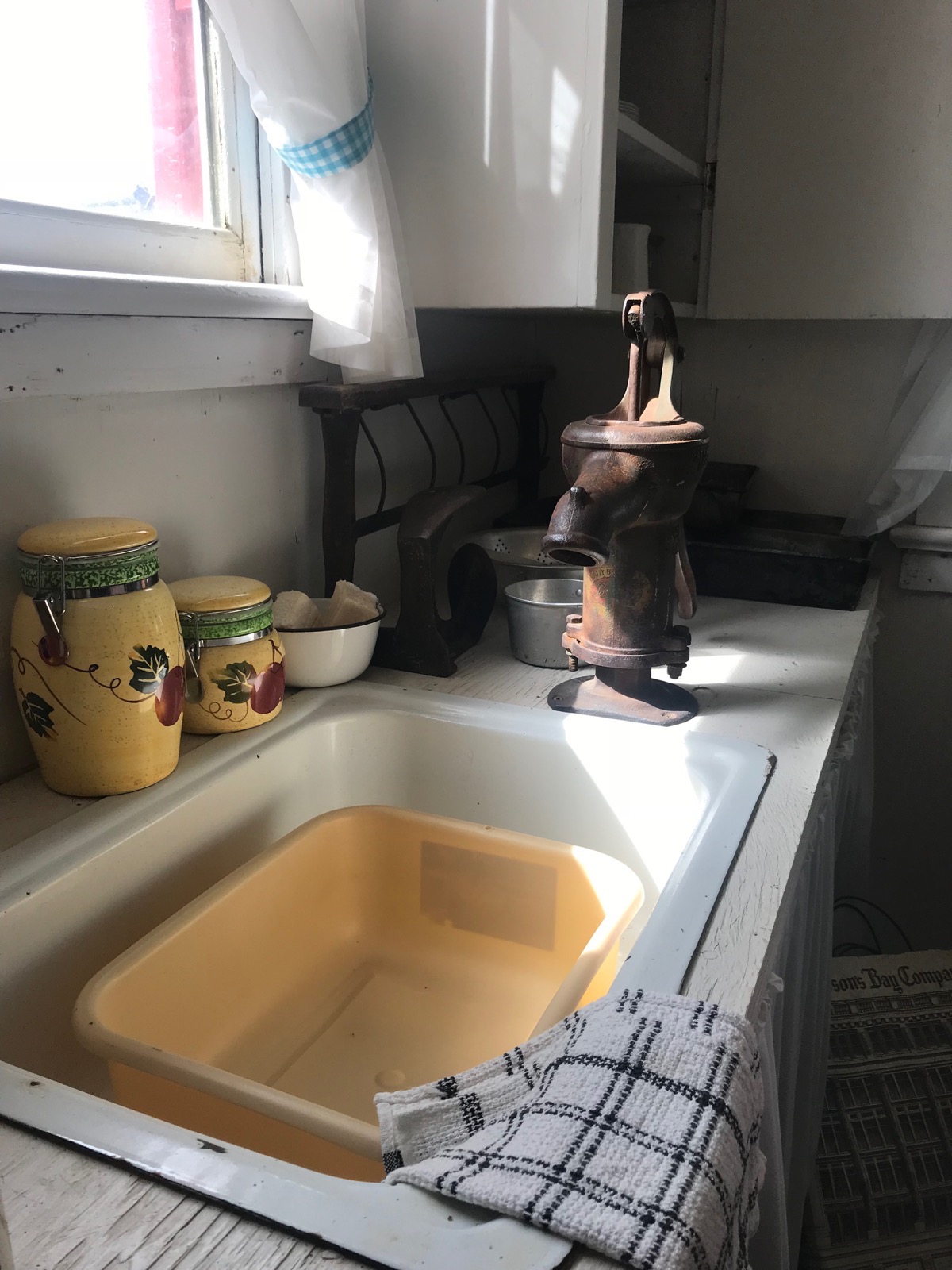
Check out that fancy kitchen faucet!
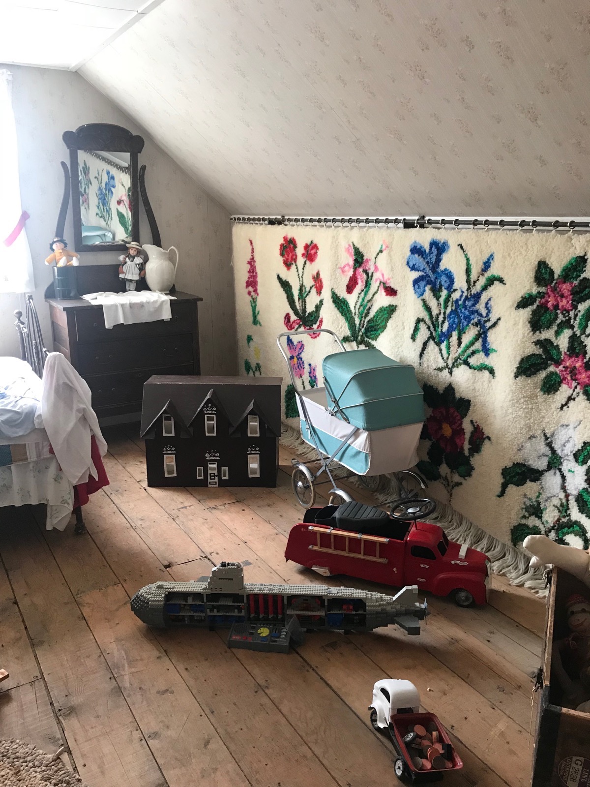
Can you find the toy that doesn’t belong to this era???
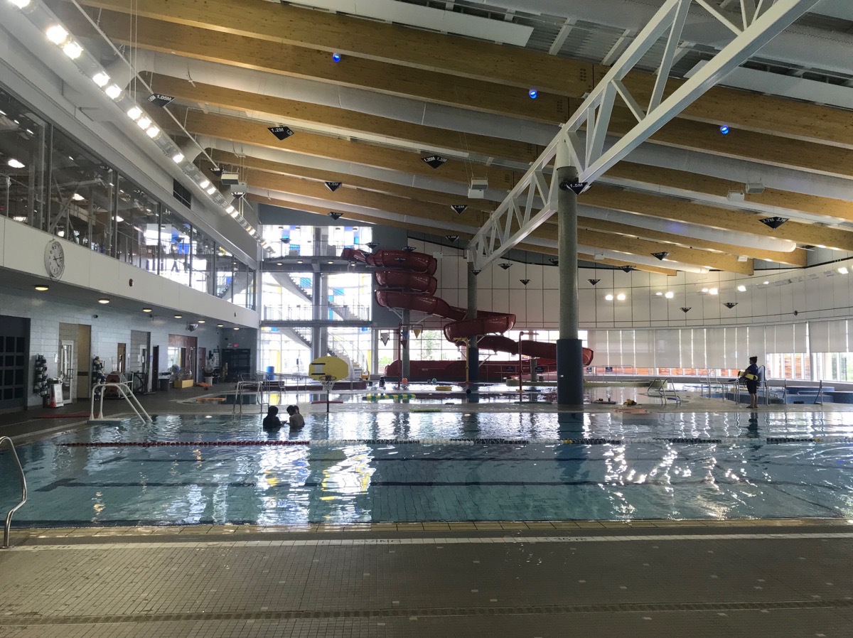
Very nice sports complex across from campground that is available for use
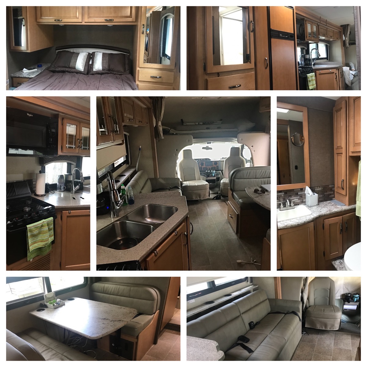 Since we are living in our motorhome for three months during this journey, I decided to share some inside shots of our very comfortable space.
Trip Statistics
- We drove 120 miles in the motorhome today for a trip total of 4,697 total mileage.
- Gas was $4.06 per gallon ( $1.429 CAN per liter) - ($1,529 so far for both vehicles) We are experiencing a favorable exchange rate between the US Dollar and the Canadian dollar at approximately. 1 Canadian dollar = .75 USD.
- Tonight we are staying at the Triple G Rv Park in Ft. Nelson, BC for 33.89 USD ($45.00 CAN) Our campground total is 795.02 USD for an average cost of $29.45 a night.
-
Day 26 - On the road between Dawson Creek and Pink Mountain
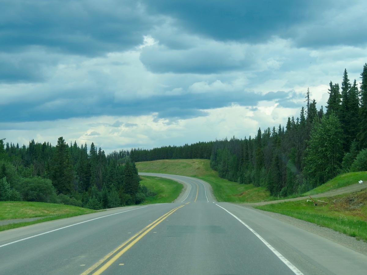
We left Dawson Creek this morning around 9:30 and drove the first 157 miles of the Alaskan Highway to the Sikanni Chief RV Park—in the middle of nowhere, but along the Sikanni River. The entire drive today was through pine forest with very little traffic in either direction. We had a little intermittent rain while we were driving and after we stopped.
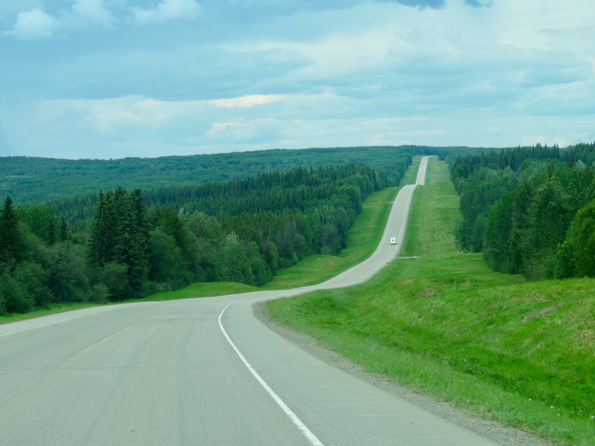
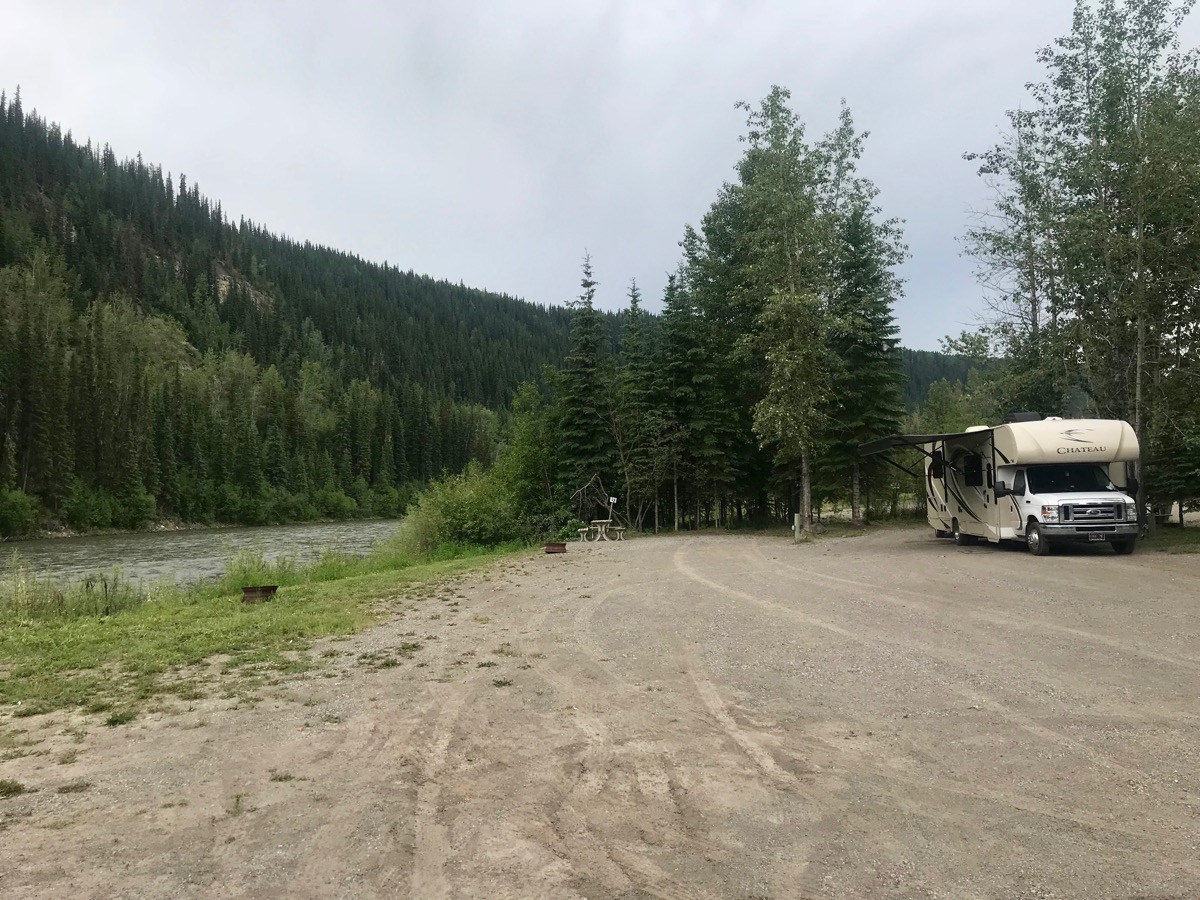
When we stopped for the day around 1:30, we had our choice of every space in the park! We chose a nice space along the river, ate lunch and then took a nap.
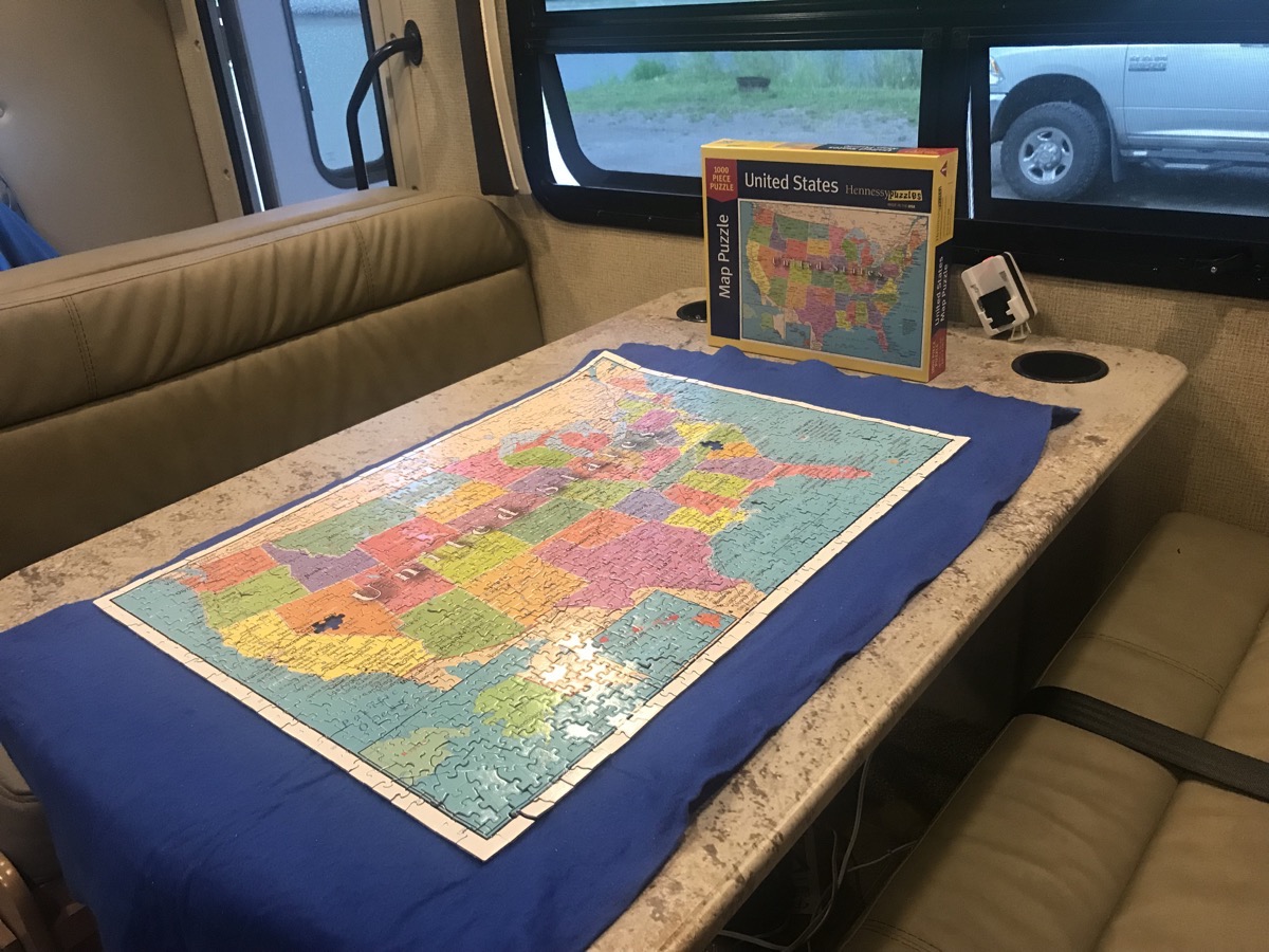
After nap time we opened a 1,000 piece puzzle of the USA and worked on it until we finished, around 9:00 after stopping to cook and eat dinner. We were missing two pieces! One in Nevada and one in North Carolina.
Sikanni Chief RV Park near 20 miles north of Pink Mountain - cost $23.94 USD ($31.50 Can)
We filled up the motorhome this morning in Dawson Creek for $3.675 a gallon $1.289 per liter CAN
-
Day 25 - Dawson Creek, British Columbia
Dawson Creek
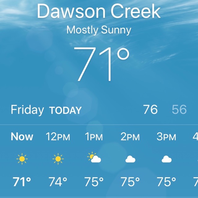
It was another beautiful day with temperatures in the mid 70s and blue skies.
Kiskatinaw River Bridge
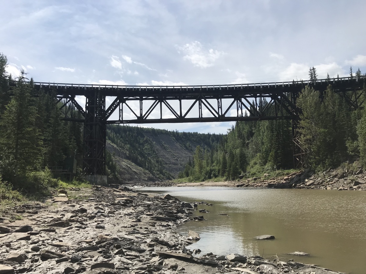
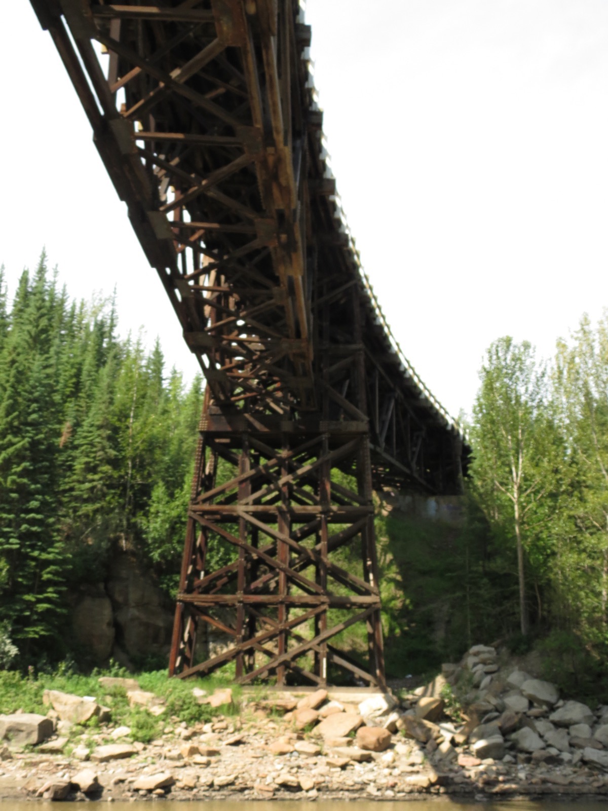
This morning we drove 15 miles north to see the Kiskatinaw River bridge, the longest curved wooden bridge in North America and the last original wooden trestle bridge still in use. This bridge is an engineering marvel because of the banked 9 degree curve, but it took as long to build this bridge as it did to complete the entire 1,523 miles of the Alaskan highway.
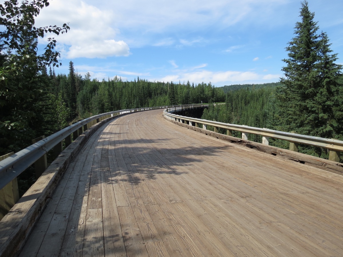
According to a sign by the river, “Here at Mile 20 on the original Alaskan Highway, the Kiskatinaw River posed an early obstacle. The location of the bridge site, near a hairpin turn of the river, forced construction of a curved right-of-way. Engineers developed this 190 foot wooden bridge with a banked nine degree turn to conform with the bend of the highway.”
The bridge was destroyed early in construction by ice jams that broke loose and crushed it.
More than 100 men worked to build the bridge, and one man fell to his death on the ice below.
 Alaska Highway House
After lunch we went to the Alaska Highway House where we watched a superb hour-long PBS documentary about the building of the Alaskan Highway. In the film Alden Hacker was being interviewed. I recognized him as being Debbie Serra’s dad and texted her to confirm his first name. He was one of the engineers of the highway.
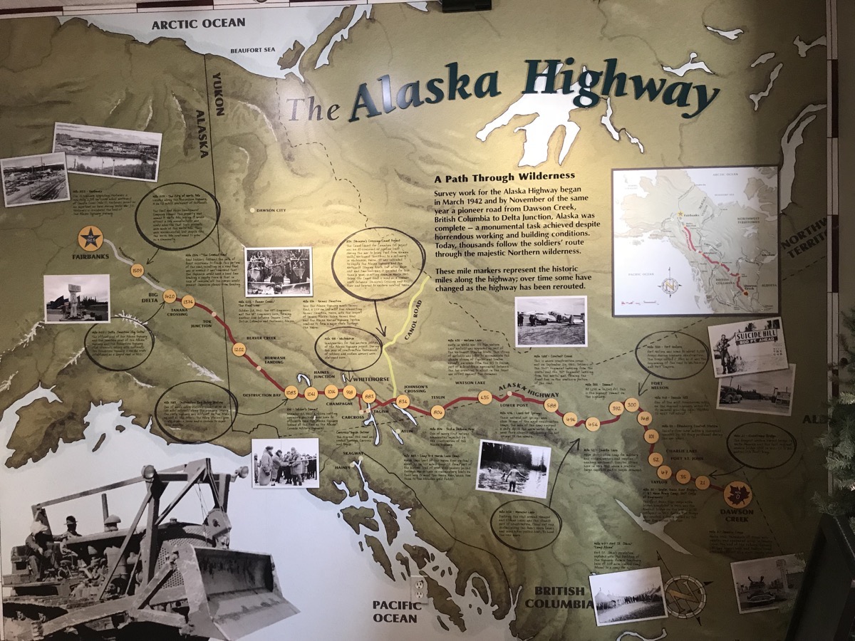 Officially started on March 9, 1942, Army engineers were ordered to construct a road that would proceed in a northwesterly direction from the railhead at Dawson Creek, BC, and connect with the existing Richardson Highway at Delta Junction, AK. A pioneer road was constructed through 1,525 miles of wilderness in 8 months and 12 days. The men worked 16 hours a day in the summer months and survived black flies, gnats and mosquitos and in the winter worked in temperatures as cold as -70. In the winter the heavy equipment took a beating. Harsh temperatures of -70F, froze lubricants, seized transmissions, and snapped axles. Equipment had to be kept running 24 house a day.
Quick Facts:
11,000 troops
16,000 American and Canadian civilians
133 bridges constructed
7,000 pieces of heavy equipment
8,000+ culverts installed
Bear Mountain Wind Park
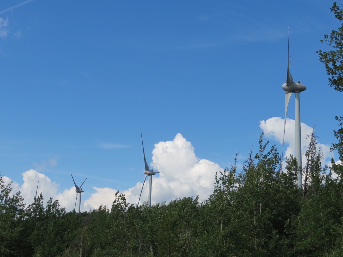
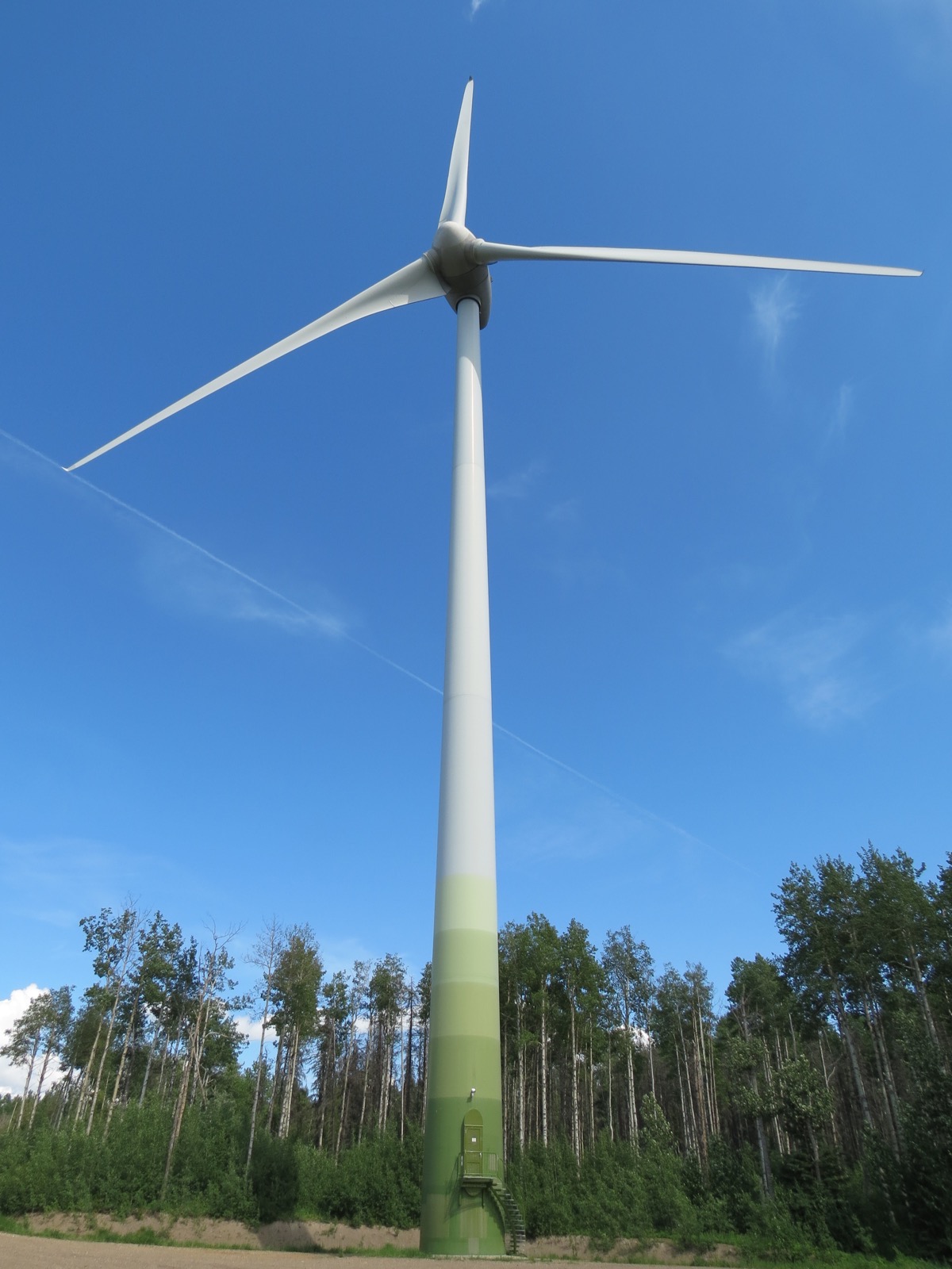
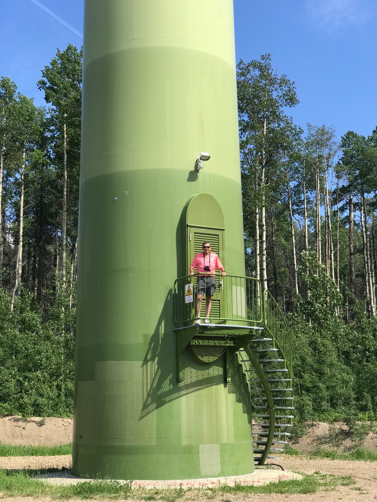
British Columbia’s first fully-operational wind park. In October 2009 the Park was commissioned and fully connected to the B.C. power grid. Today it delivers enough electricity to power most of B.C.’s South Peace region. Bear Mountain Wind Park features a single row of 34 3-MW Enercon E-82 wind turbine generators. Each turbine is 256 feet tall to the hub. The site, which covers approximately 62 acres, is still used for cattle grazing and by the public for hiking, snowmobiling, cross-country skiing and other recreational activities.
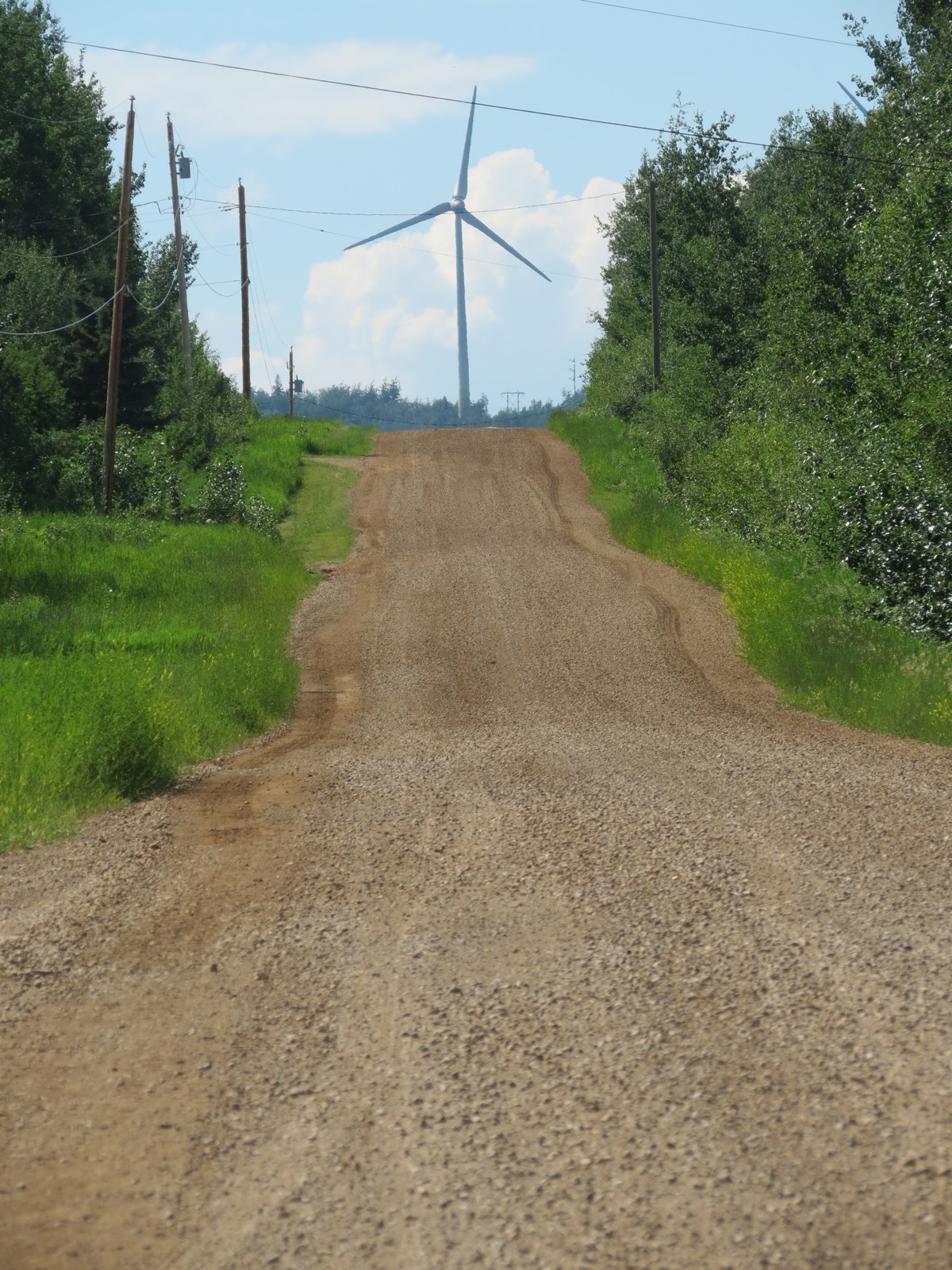
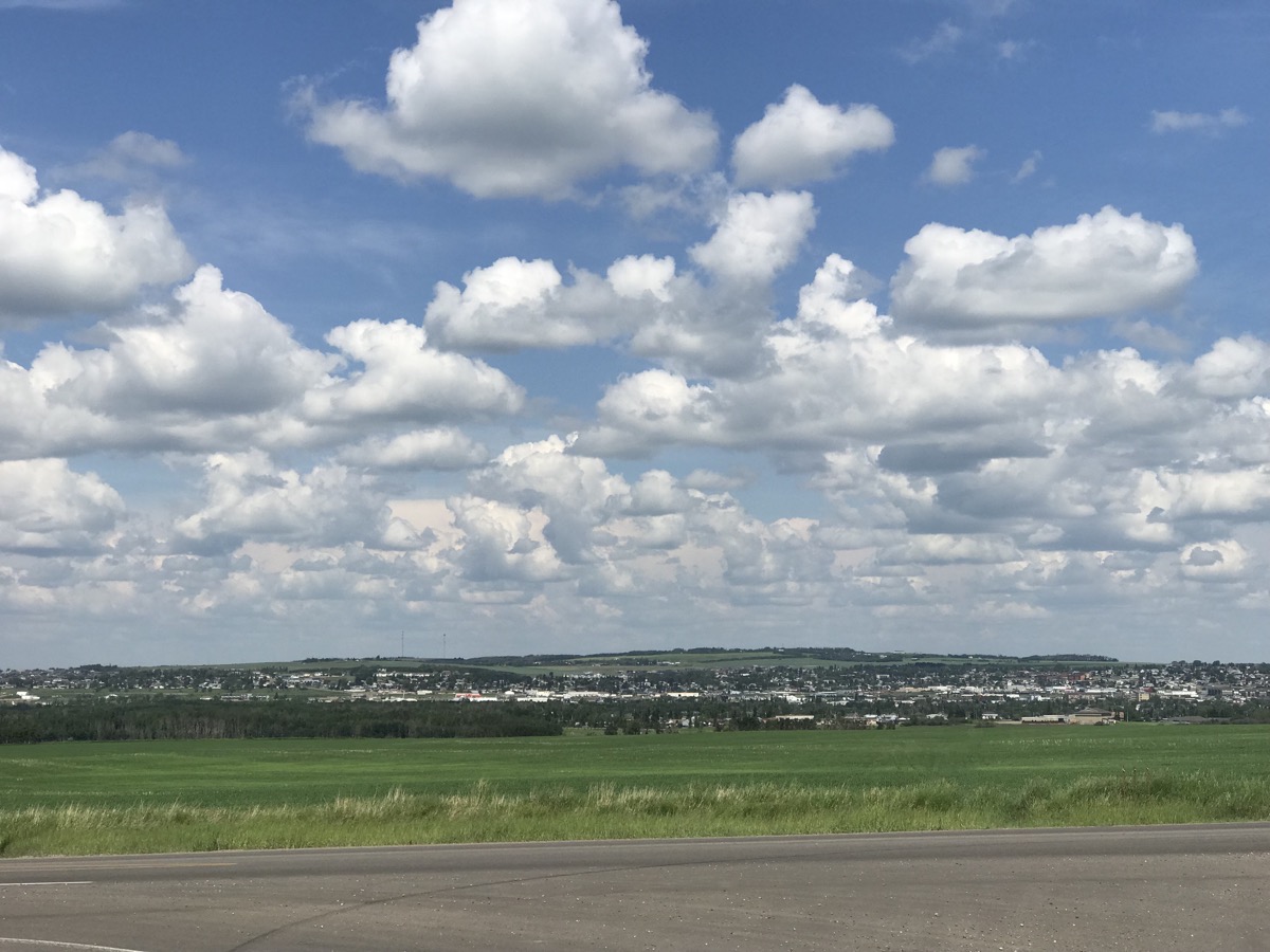
And lastly, the flat countryside of Dawson Creek, British Columbia
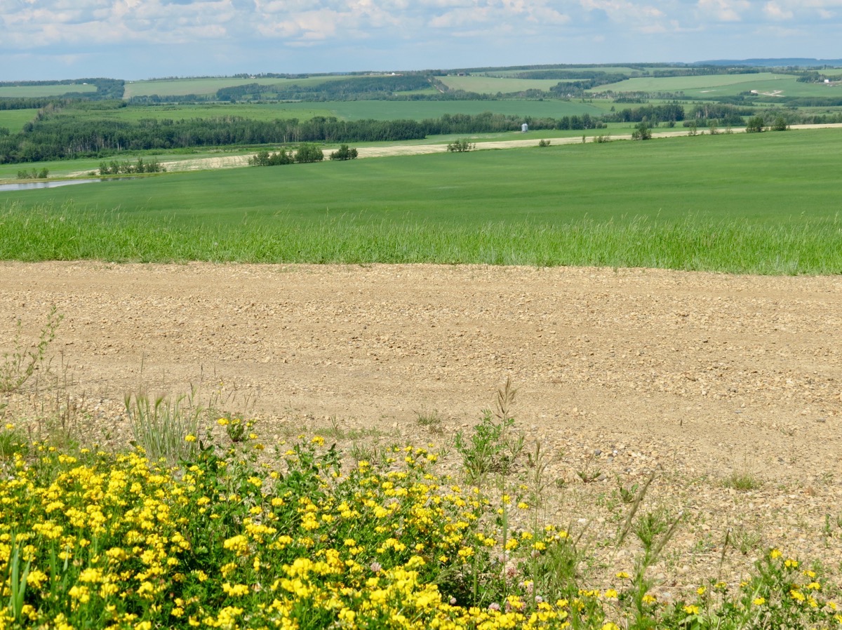
89 miles in the car; total trip mileage so 4,417
We bought gas for the Honda today at a cost of $3.66 per gallon
We are staying at the Mile 0 RV Park and the cost is $27.09 ($36 Canadian)
-
Day 24 - Grand Cache to Dawson Creek
This was the first morning of our trip where we awoke to rain. We left Grand Cache at 11:00am; it was 64 degrees and raining.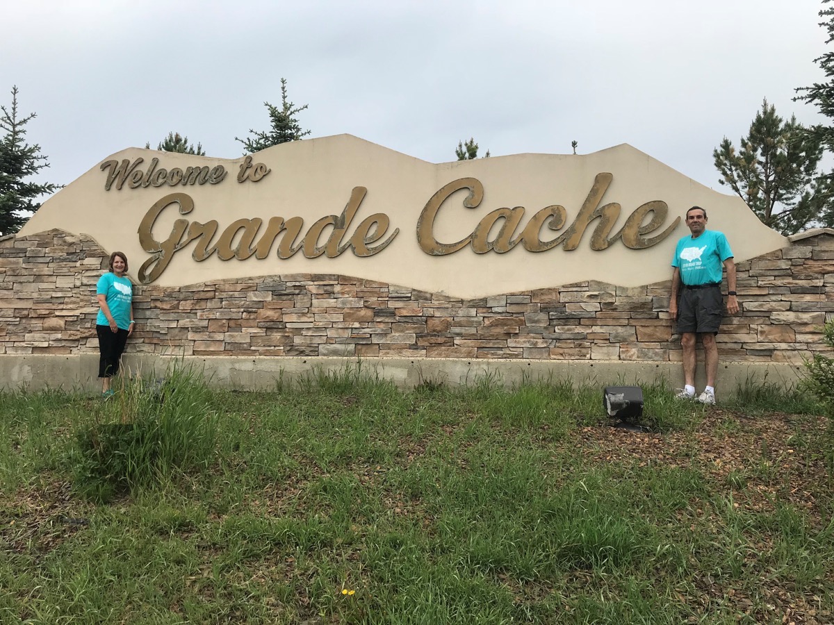
When we were in the middle of NOWHERE - 75 miles north of Grand Cache, we saw a FOOD Truck on the side of the road selling hamburgers and drinks. There is a timber cutting industry in this area, so we have seen huge trucks hauling the timber. Most of the trucks we’ve seen are pulling double loads in this very mountainous area. By 1:00 it was dry, but cloudy.
We drove through Grand Prairie at 1:45 and were surprised to see the town of 68,556 is perfectly FLAT after all the steep mountain passes we’ve gone through to get here.
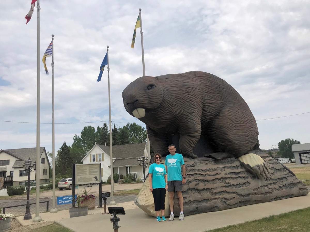
A photo opportunity in Beaver Lodge, Alberta with the giant beaver
In the back right corner of this picture we noticed a truck/car wash, so we drove in and washed both vehicles and the bikes—all still connected for $15.96 USD ($21 CA) which was a GREAT deal!!! I wish I had taken a picture of the vehicles beforehand because they were all caked with mud!
Dawson Creek, British Columbia
We crossed into British Columbia at 3:15pm and arrived in Dawson Creek at 4:00.
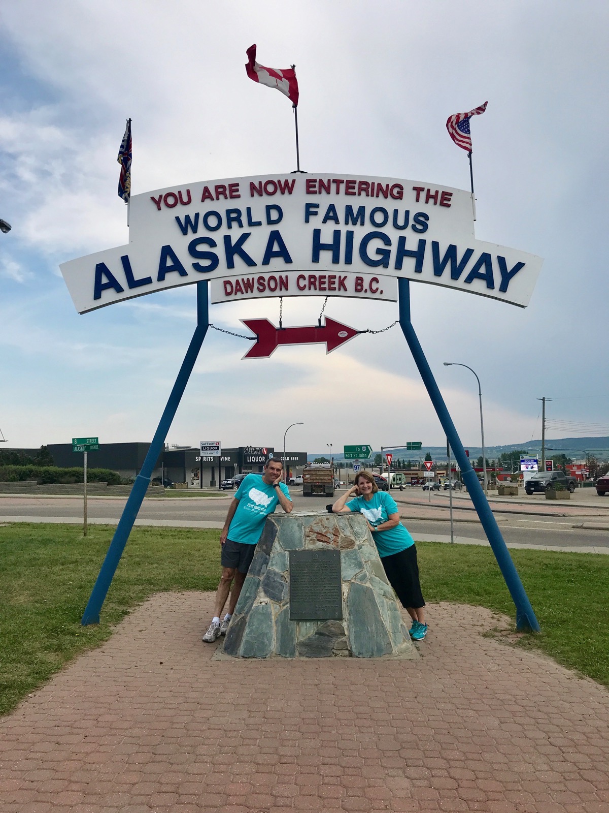
We are now a mile 0 of the Alaskan Highway
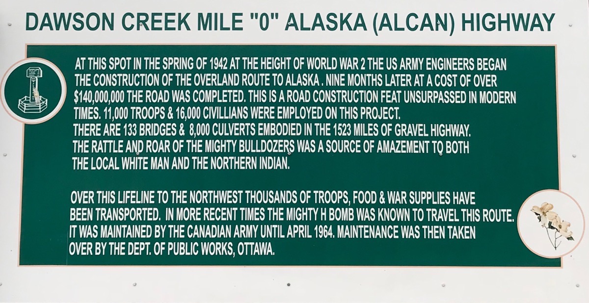
It’s hard to believe that a road 1,523 miles long could be built in just nine months in the rugged conditions that were encountered.
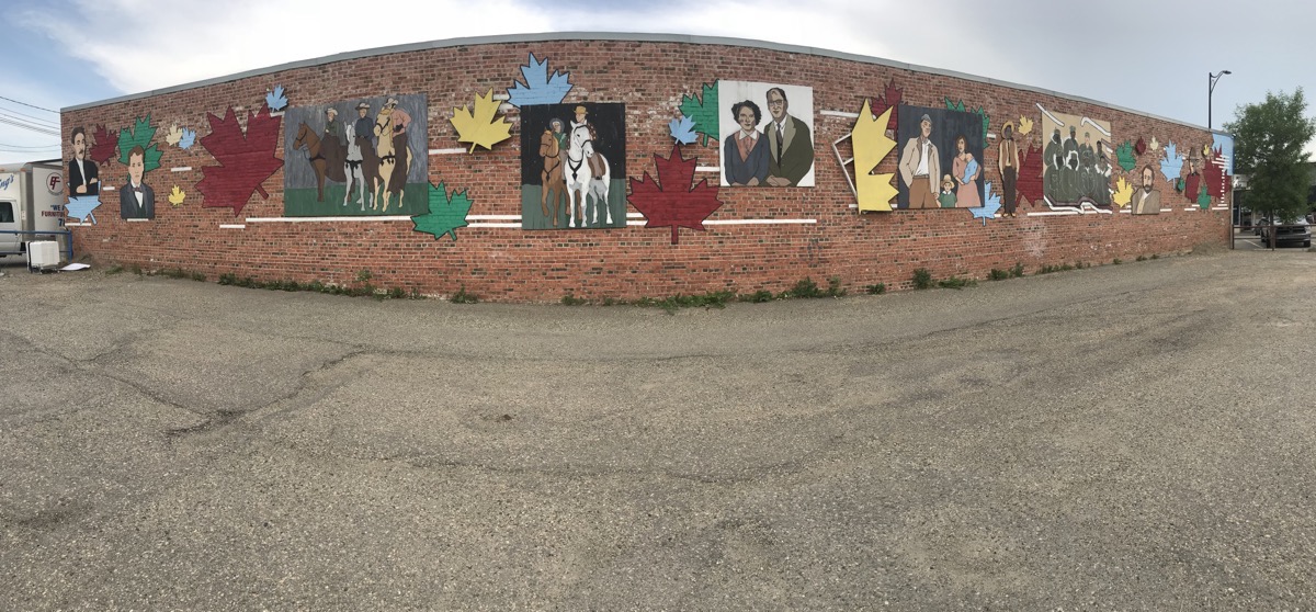
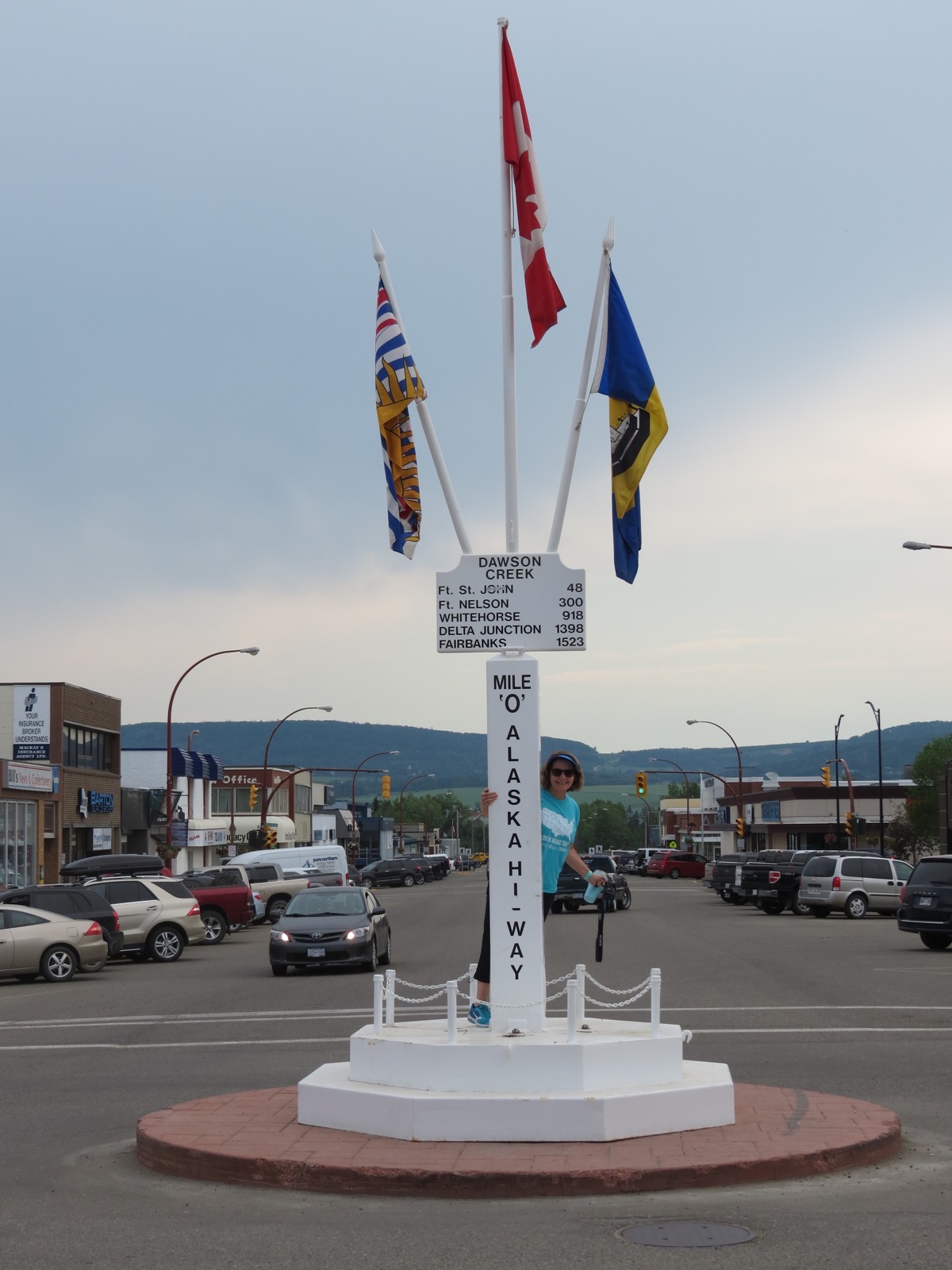
The Mile 0 Post - A World Famous Icon
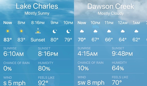
Since today is the longest day of sunlight, I though it was interesting to note that Sunrise was at 4:15am and sunset isn’t until 9:48PM. Lake Charles, LA is getting 14 hours and 6 minutes of sunlight versus 17 hours and 33 minutes of sunlight for us today.
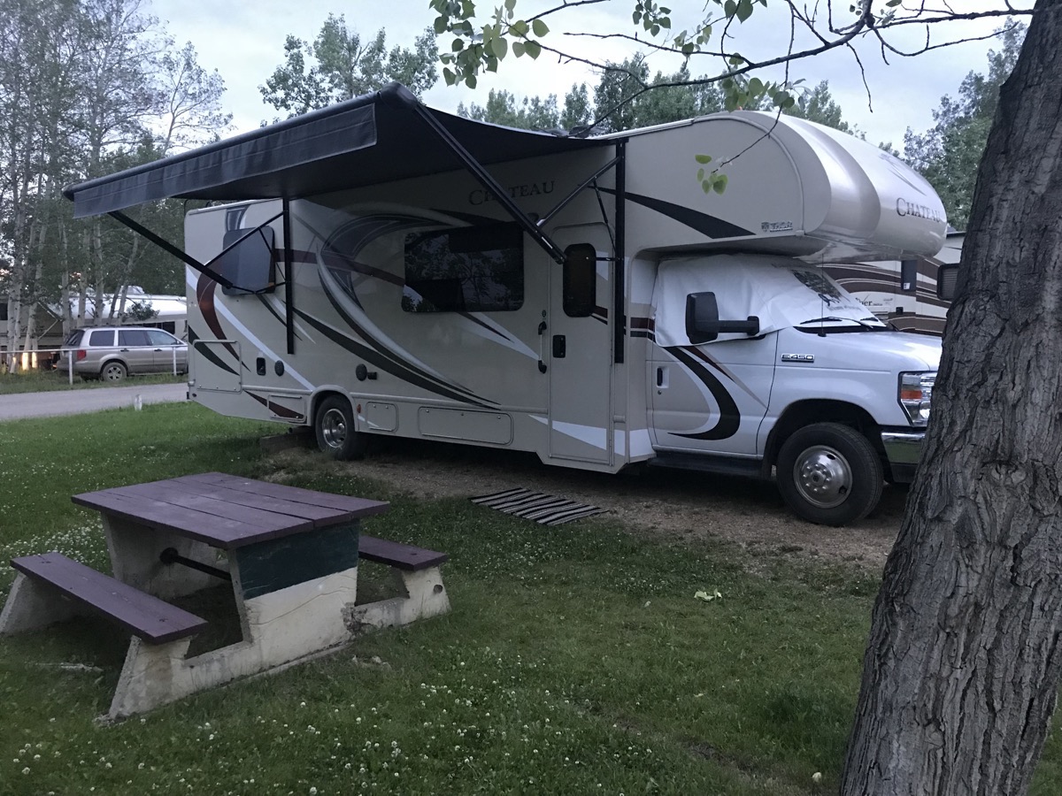
This picture was taken at 10:10PM. This area doesn’t go on daylight savings time, which would have made it 11;10PM.
We are staying at the Mile 0 RV Park in Dawson Creek - $27.09 USD ($36 Can)
We drove 198 miles in the motorhome and 8 miles in the car today for a total of trip mileage of 4,328.
-
Day 23 - Jasper to Grande Cache, Alberta
After we hopped out of bed this morning, I drove into town and did the laundry for $16 for 3 loads. Tom filled up the gas and propane in the motorhome and then met me at the laundry mat. It was a huge place in the middle of town that had a Starbucks inside and a place to take showers for $5.00 We left town at 12:30 and drove to Grand Cache, Alberta, 133 miles away. The drive was very rural most of the way with hardly any other cars in sight. It was sunny and 83 the whole way. Once we were at our campsite it rained a little.
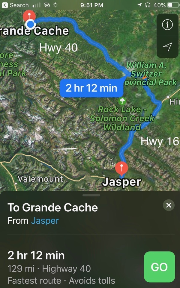
Miles driven - 4 miles in the car and 133 in the motorhome for a total of 4,122 miles so far on this trip.
Gas was $3.95(USD) a gallon today in Grand Cache
We are camping at the Grande Cache Municipal campground with full hook ups and huge secluded spaces for $27.70. The bathrooms are the cleanest I have seen anywhere.
-
Day 22 - Jasper
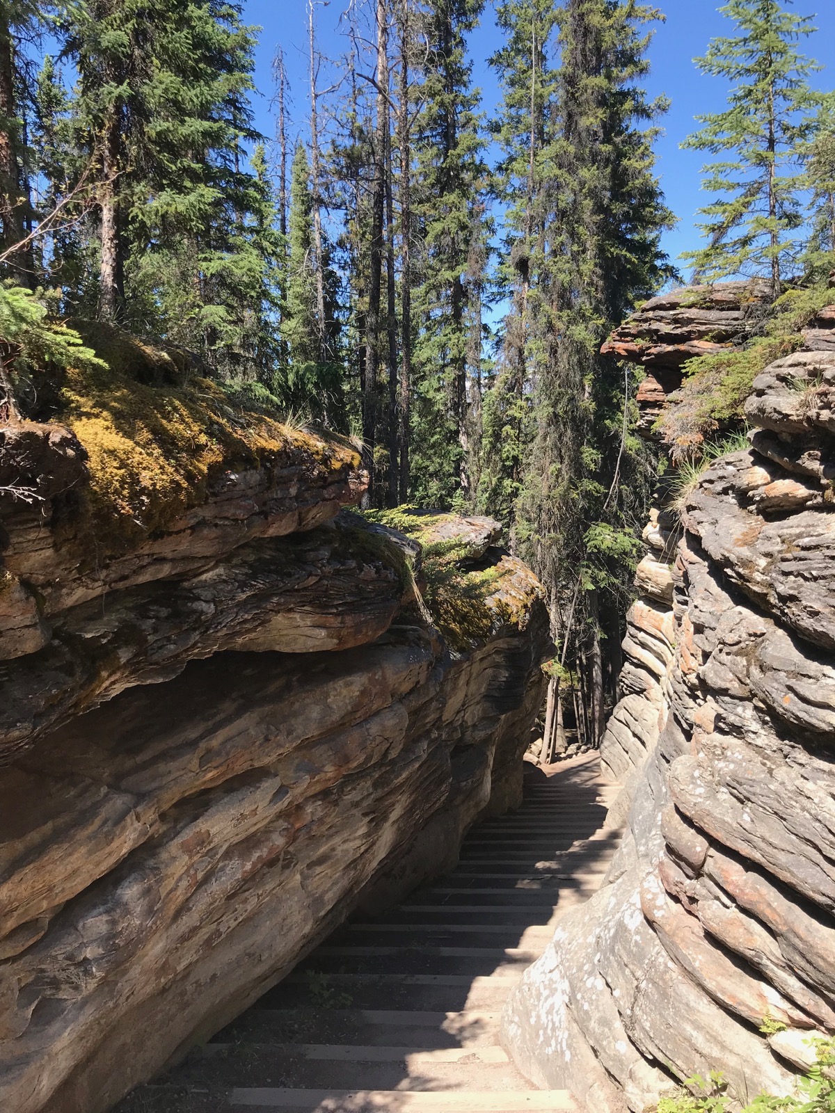
It was 47 when we awoke this morning and our toes were a little chilly with the windows open. After breakfast we drove to Athabasca Falls where we hiked the short 1.25 mile loop around the area. A park ranger was there with these hides from a black bear. I didn’t know there were blonde black bears!
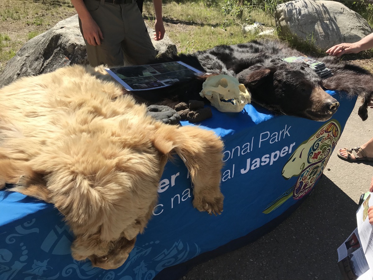
And do you like me in blonde or black???
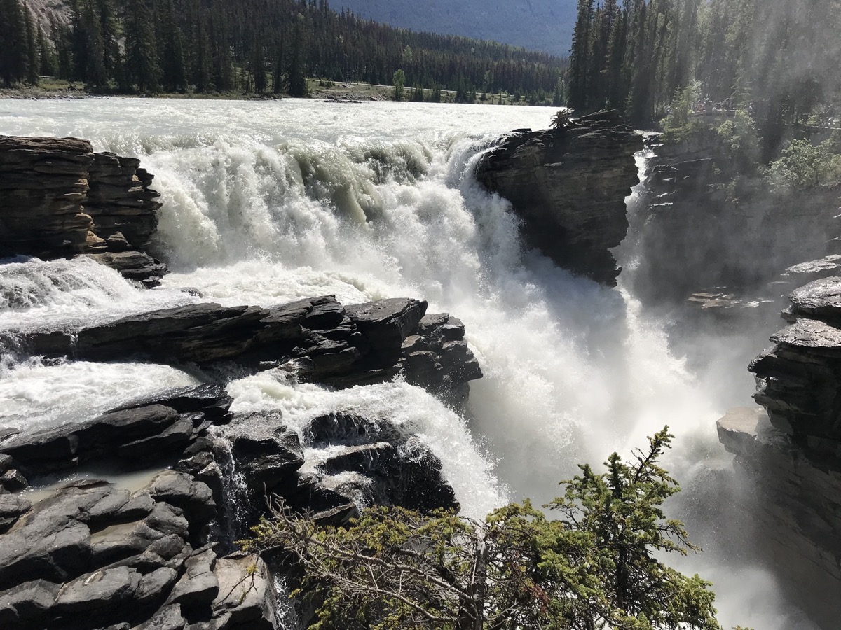
Athabasca Falls
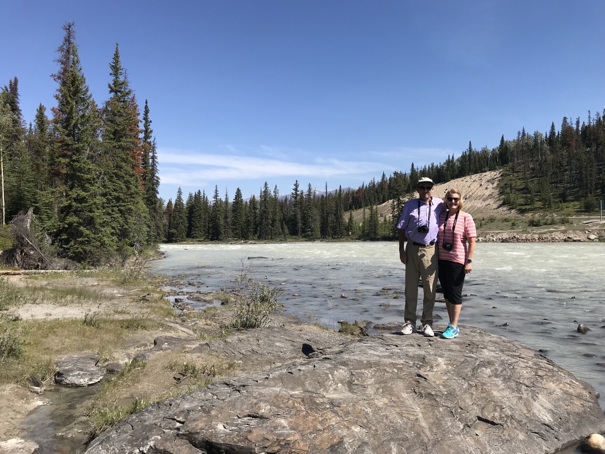
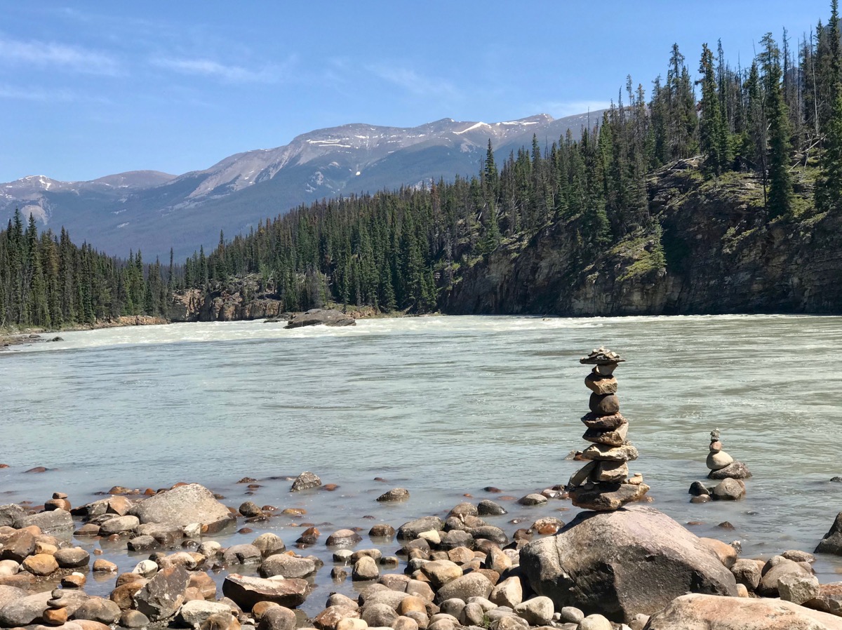
Standing beside the Athabasca River
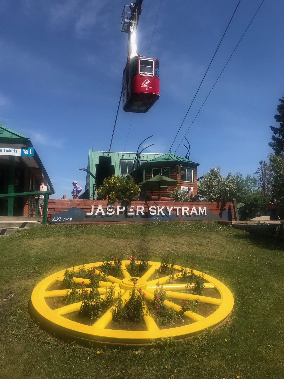
We drove up to the Skytram, but the wait was over an hour, so we decided not the wait.
Canyons and Falls
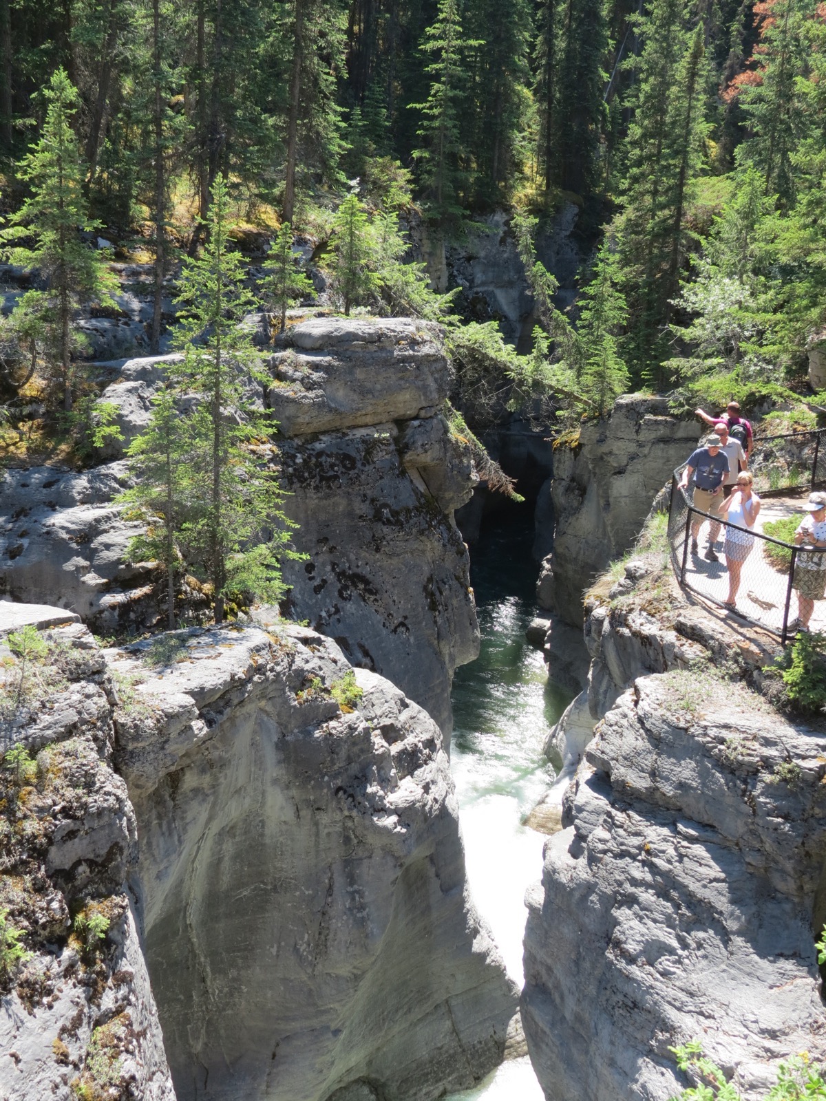
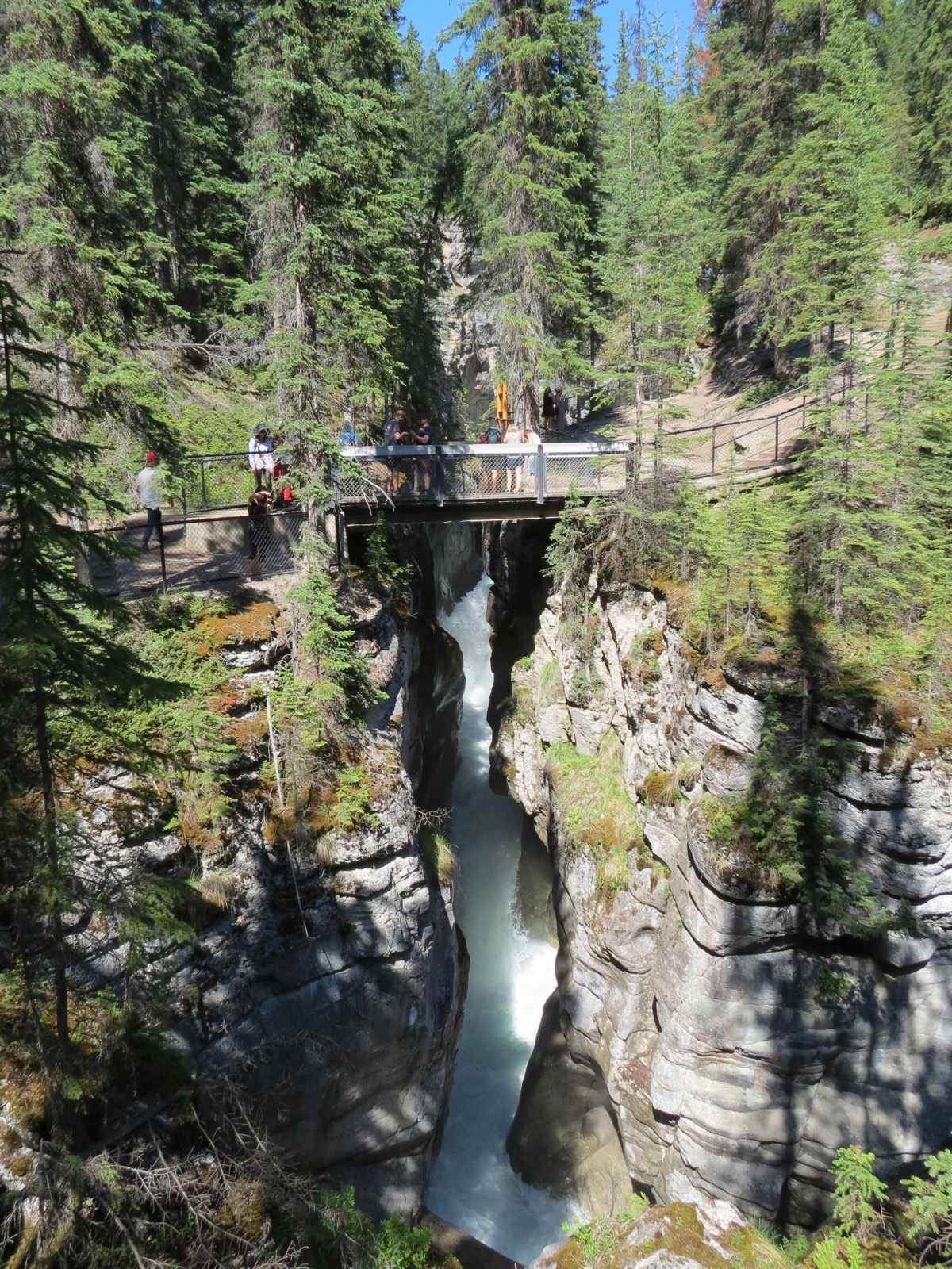
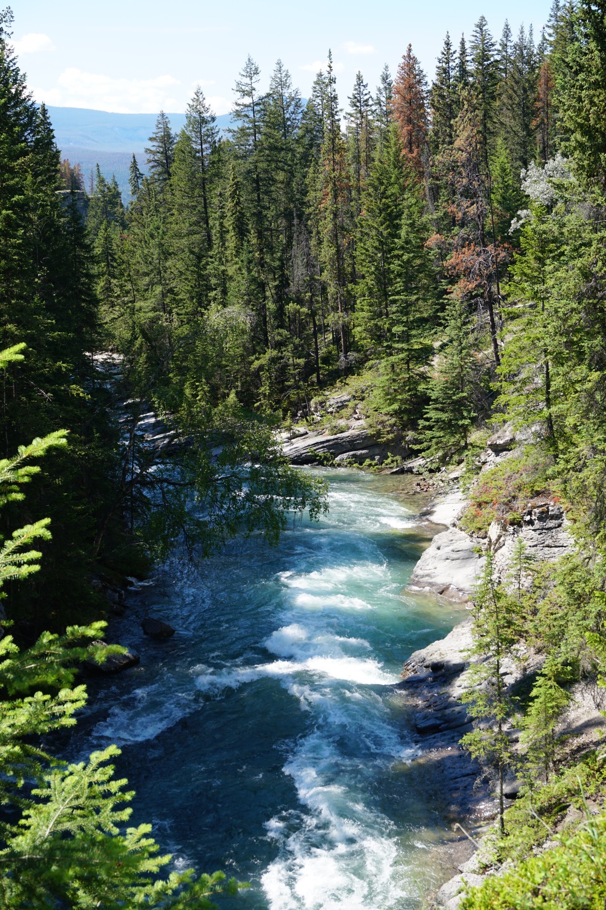
We came back to the motorhome for lunch and a little rest and then hoped back into the car and drove to Maligne Canyon where we hiked a very strenuous 3.3 mile down the canyon and across bridges. When we turned around to walk back (by a different route), we had to climb 1/3 mile straight up the side of the mountain before the trail leveled off.
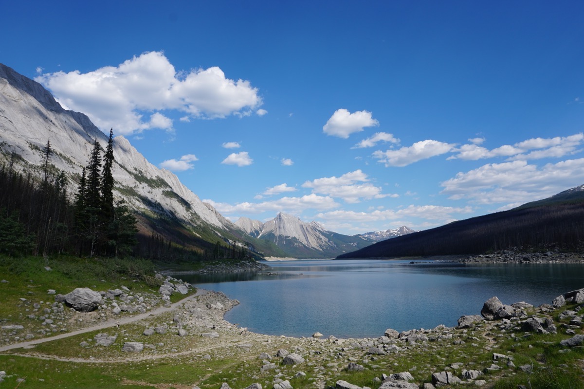
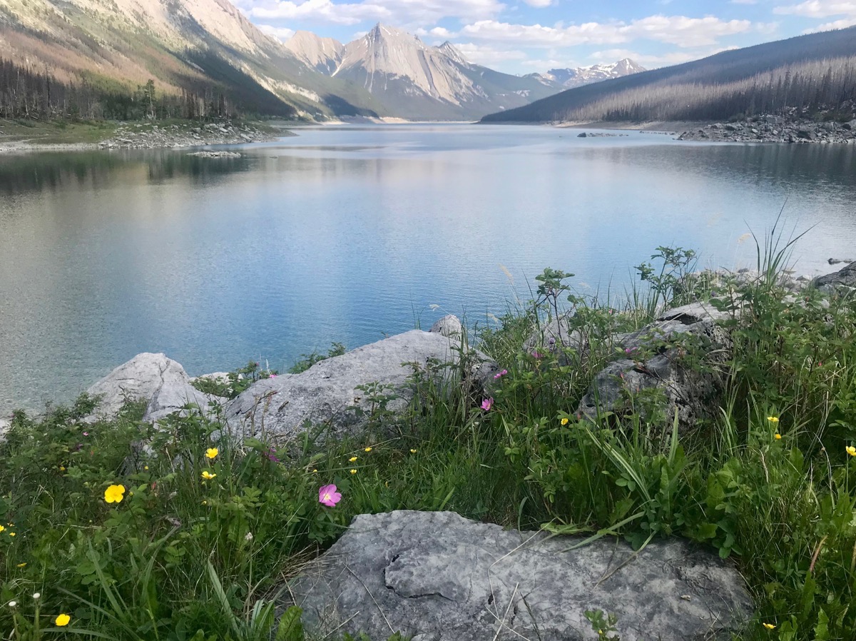
Medicine Lake
We drove to Medicine Lake to take these pictures before going back into Jasper to eat dinner at Jasper Pizza Place and ice cream at Scoops and Loops afterwards.
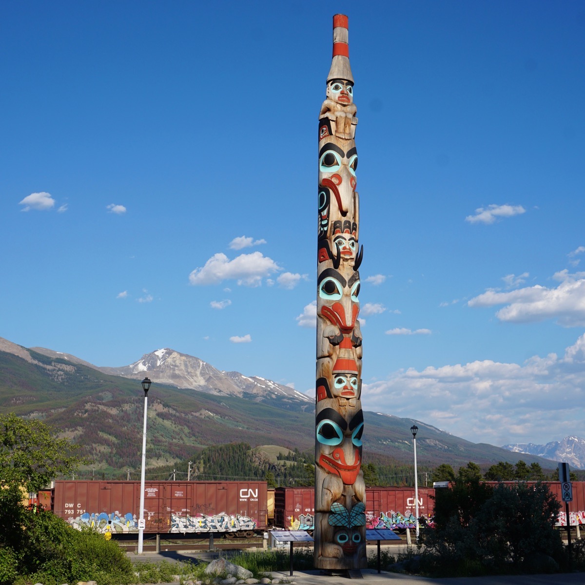
Totem Pole in the middle of Jasper
We drove 87 miles in the car and filled it up for $3.80 a gallon USD.
We are staying at Whistler’s Campground (with no electricity or water) for $25 per night. Our total lodging is $652.29 or an average of $29.65 per night.
-
Day 21 - Lake Louise
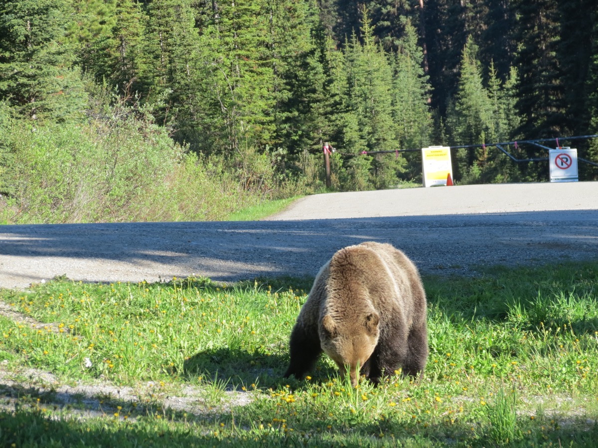
We left the campground at 7:45 to drive the 38 miles to Lake Louise. We were told to get there before 9:00am because it is so crowded and there would be no place to park. As we arrived we saw a grizzly bear on the side of the road about 15 feet from us! The ranger was just arriving with a stun??? gun and yelling at everyone to move their cars immediately.
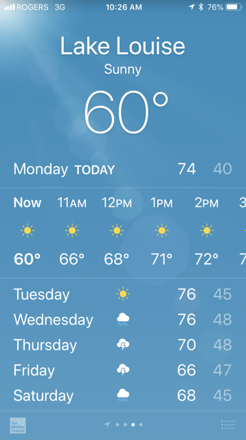
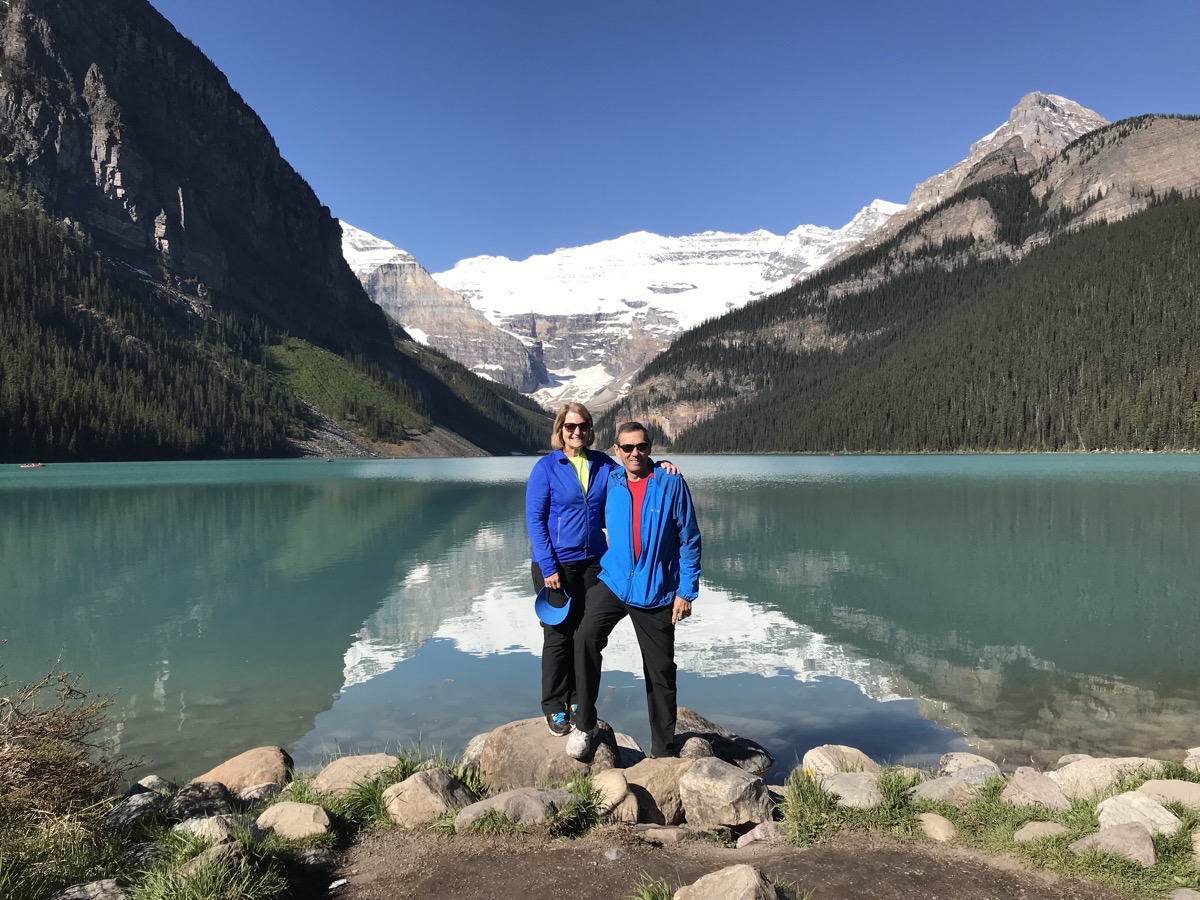
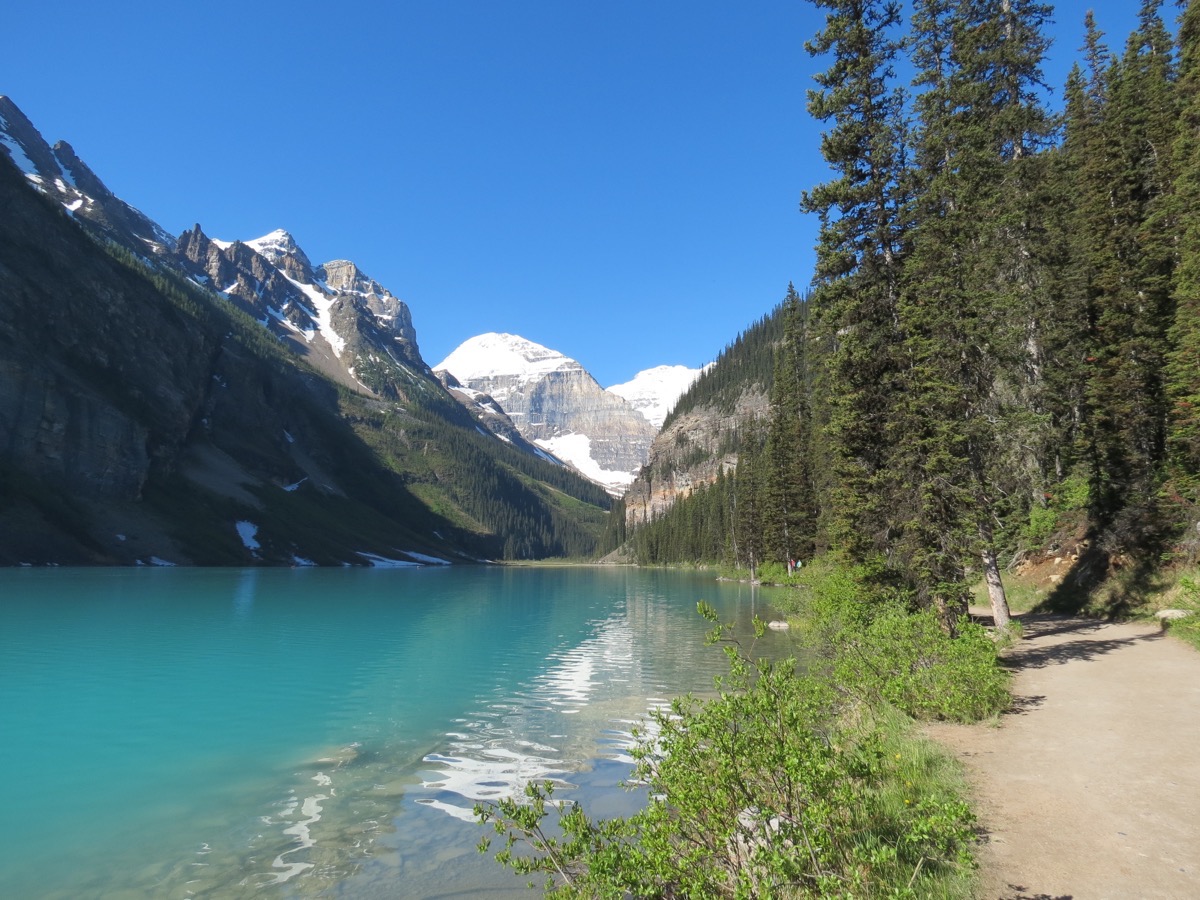
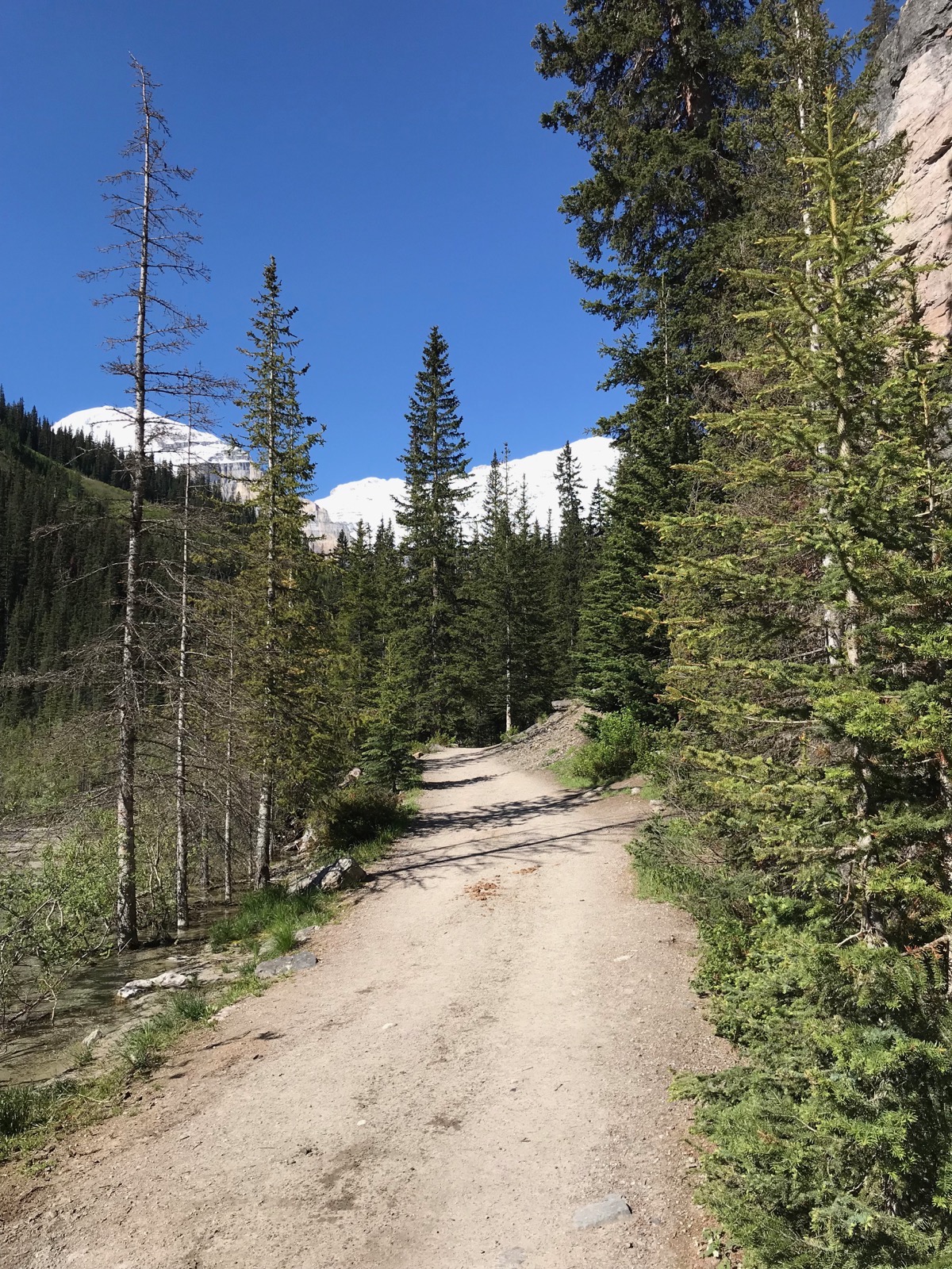
Since we arrived early, we had no trouble parking. We proceeded to walk from the parking lot to the lake. It was an absolutely goregous day with not a cloud in the sky and the temperature was 60. We walked to the other end of the lake and back which was 4.6 miles and then walked into the lodge to see the lobby.
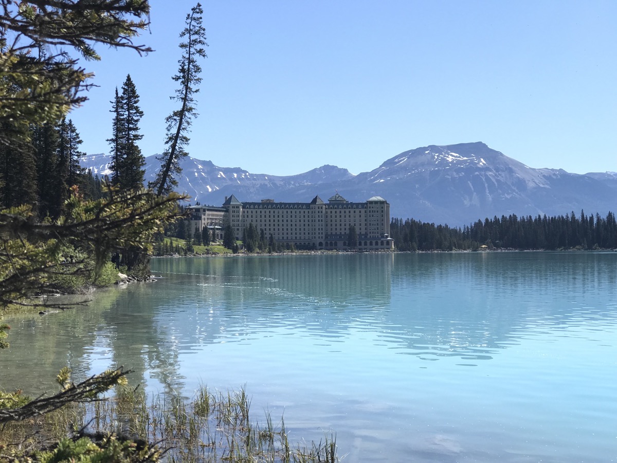
The view of the hotel walking back from the other side of the lake.
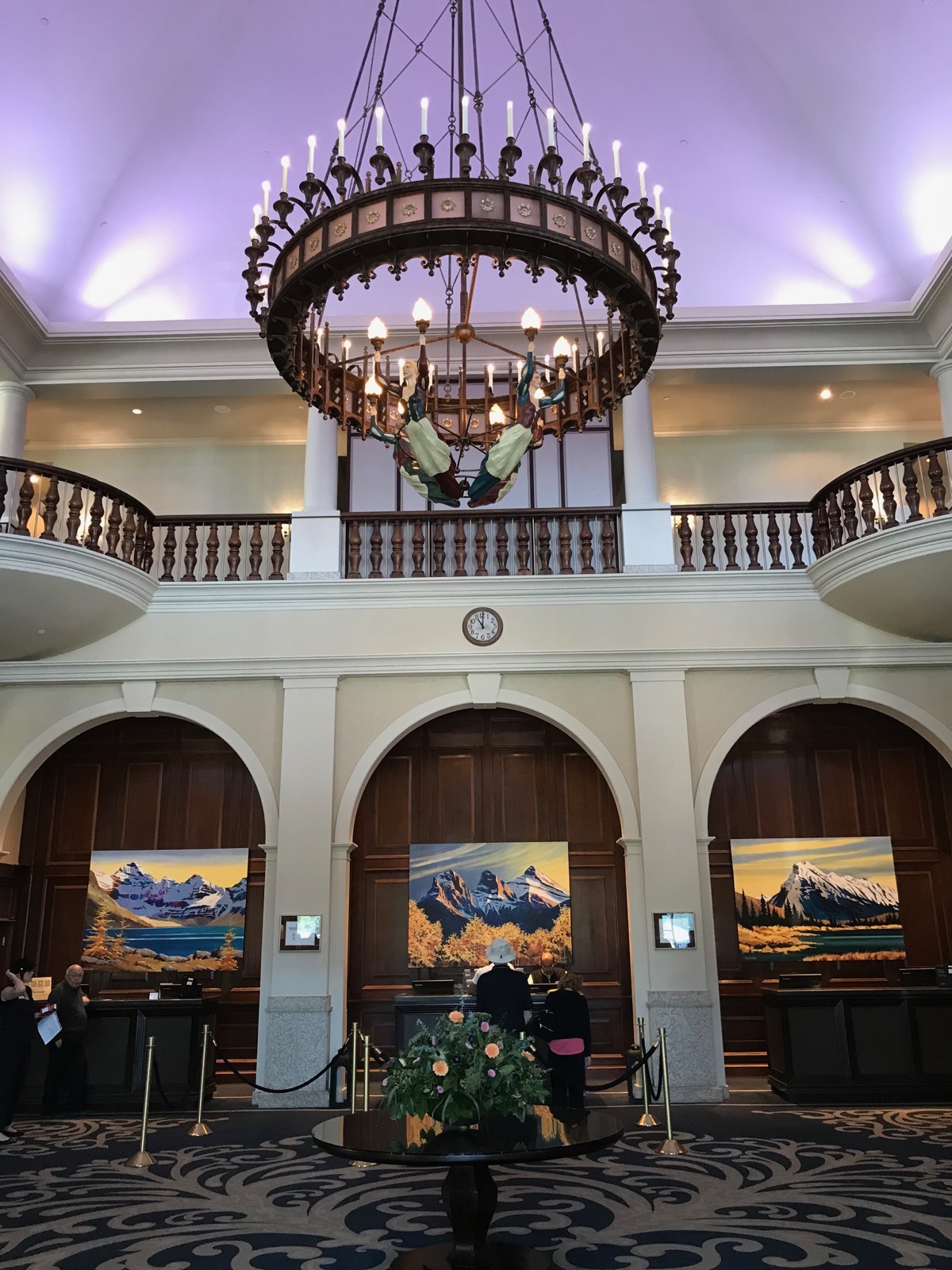
The lobby
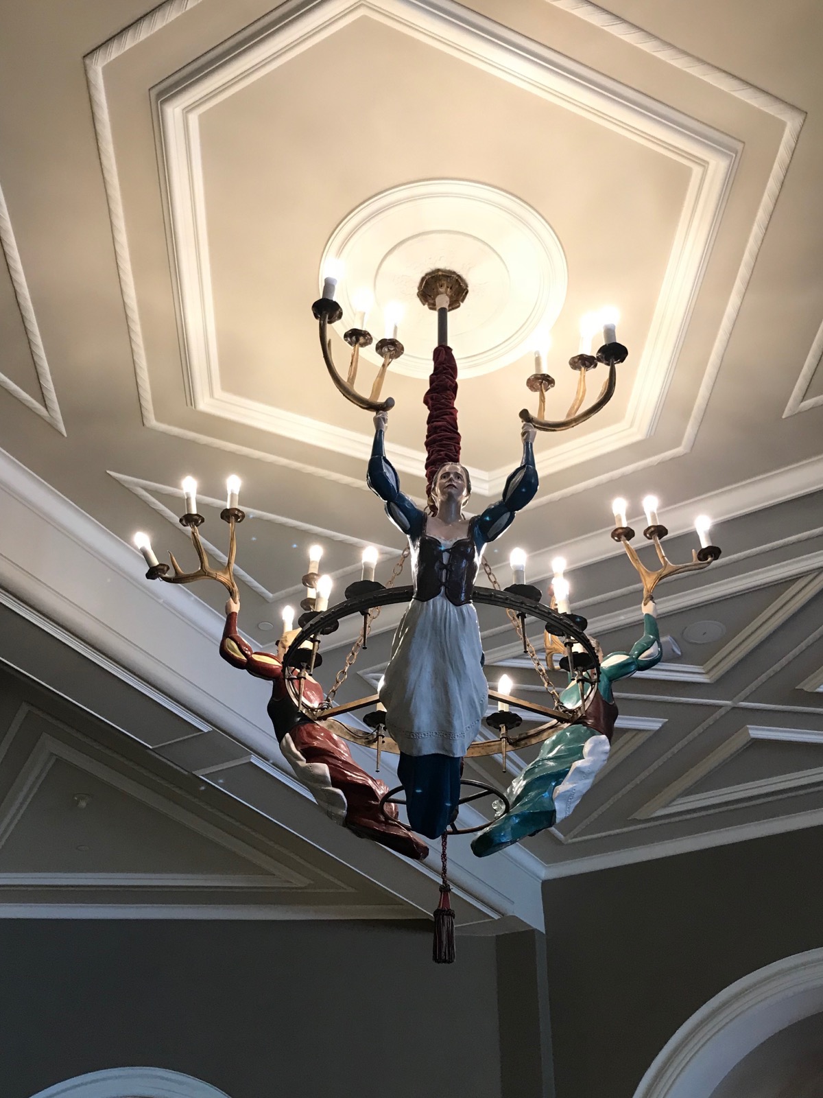
The chandeliers in the lobby
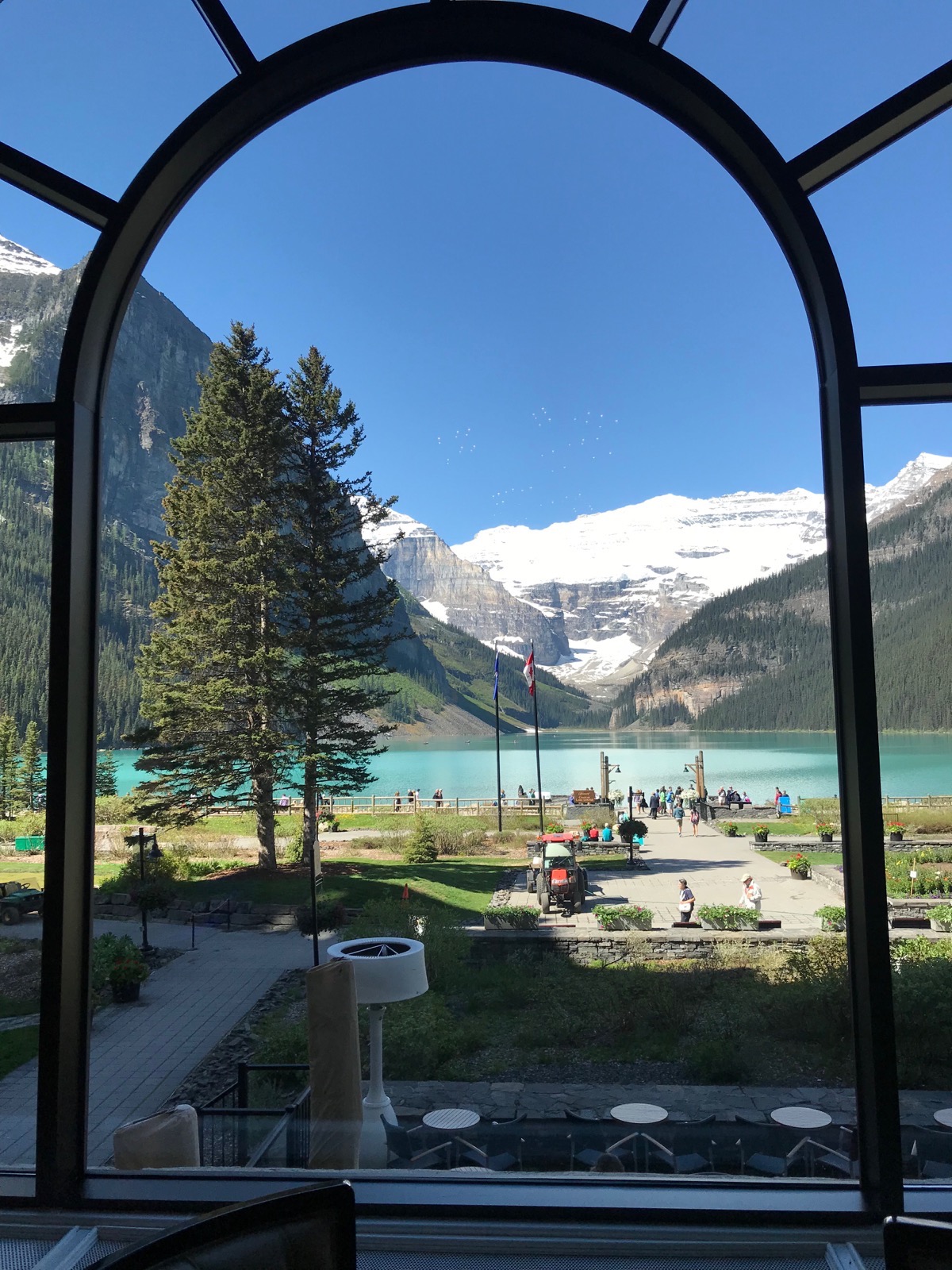
The view from the dining area of the Fairmont Chateau at Lake Louise
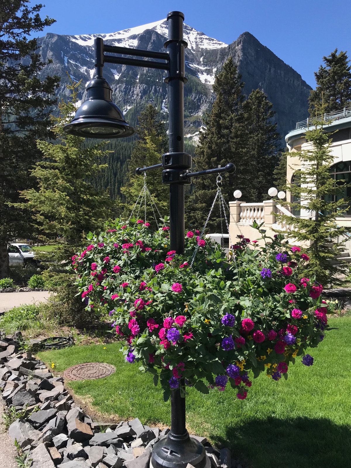
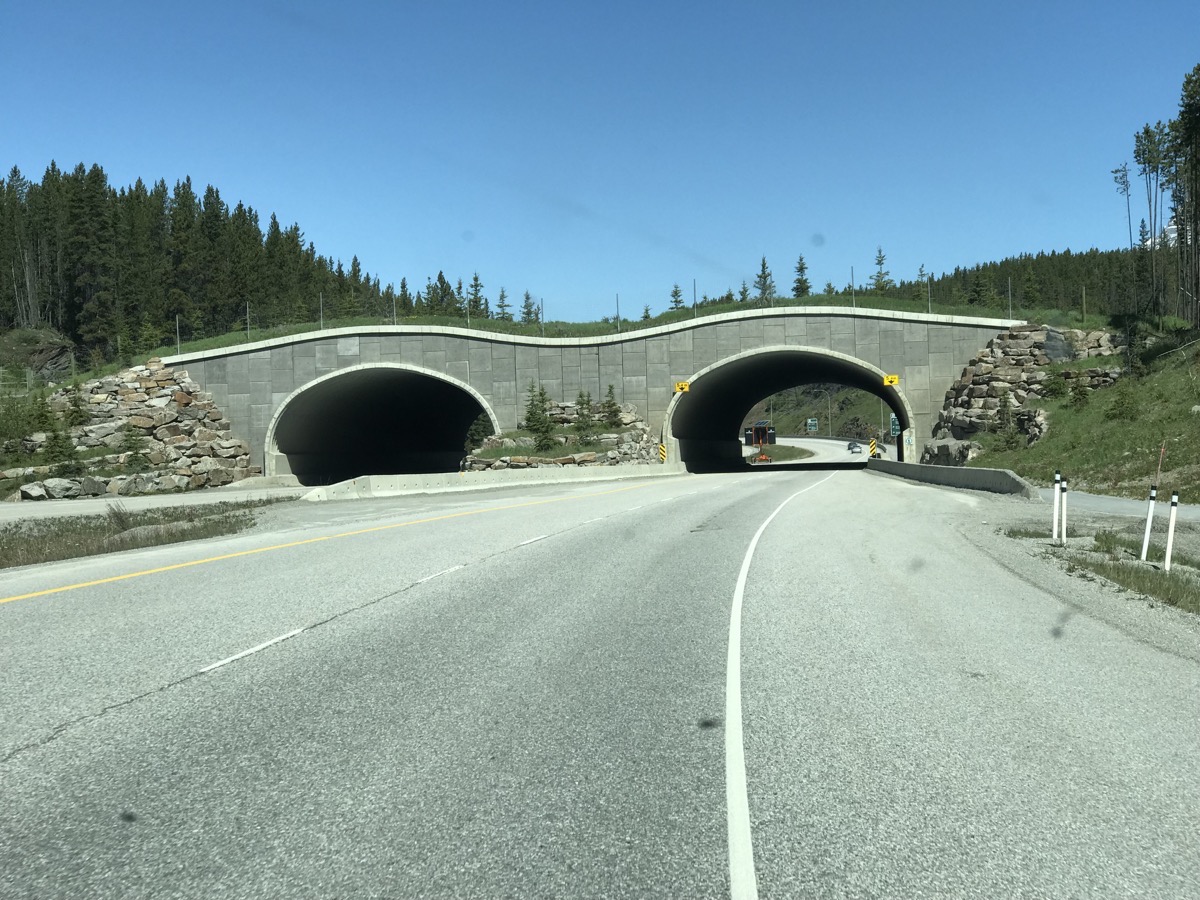
These are the safe crossings for the wild animals that live within the park
We drove Hwy 93 from Lake Louise and stopped at the Columbia Icefields for some quick photos.
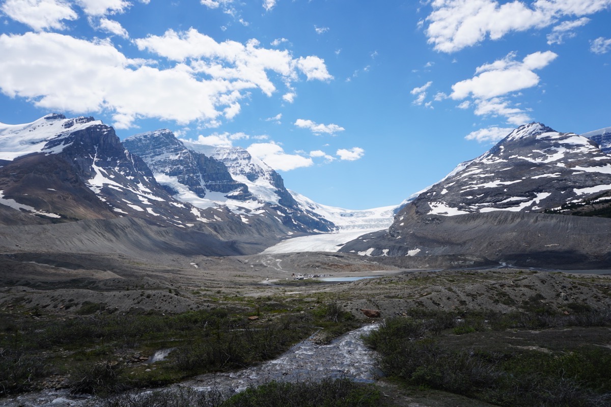
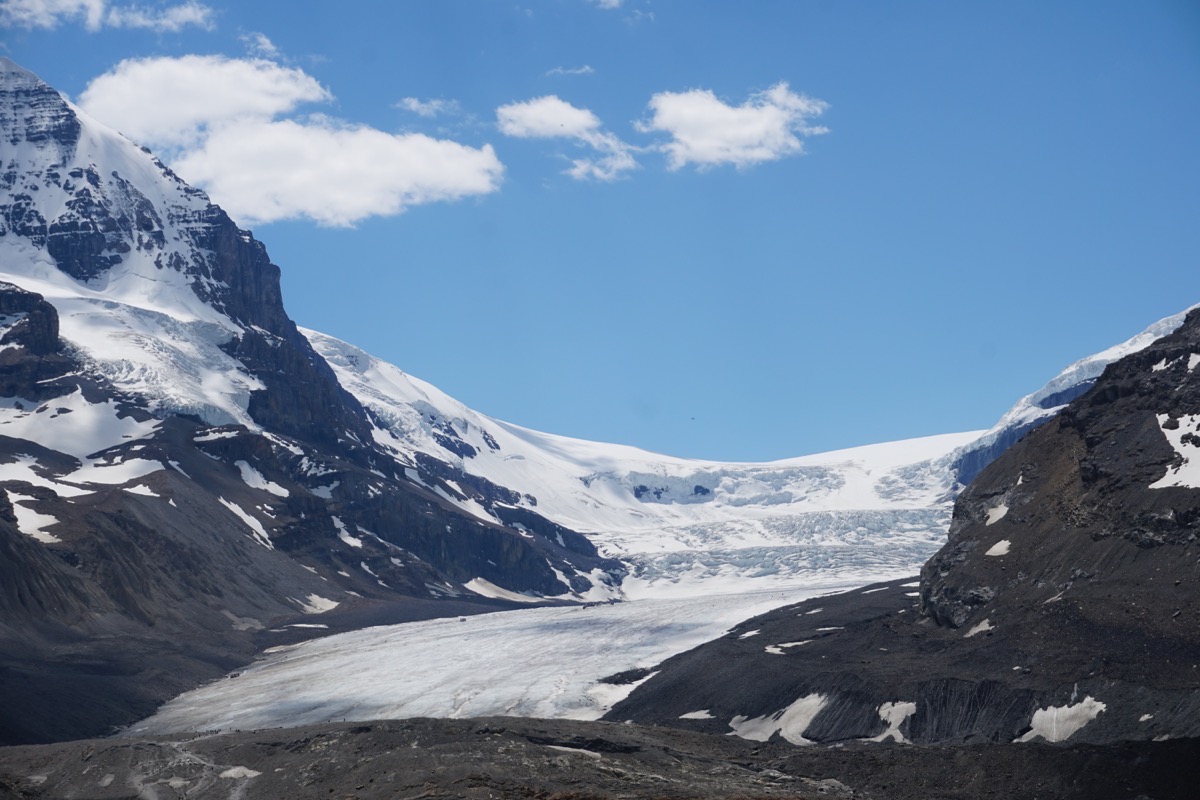
Our views from the Columbia Icefields to Jasper
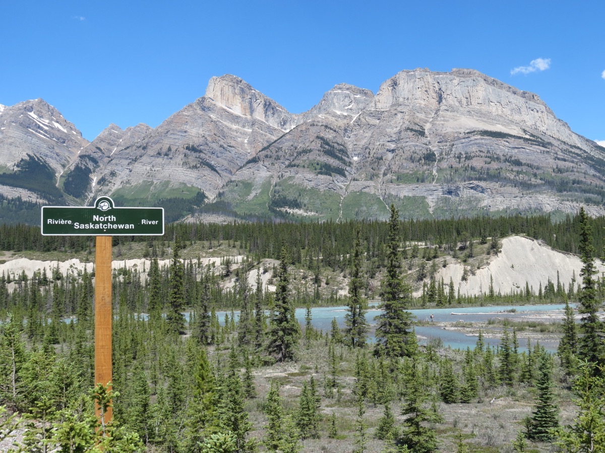
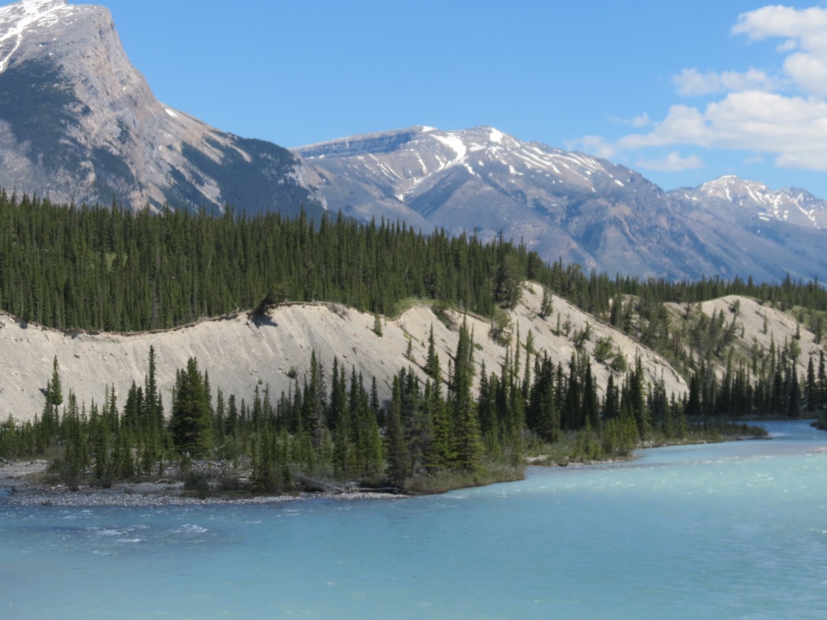
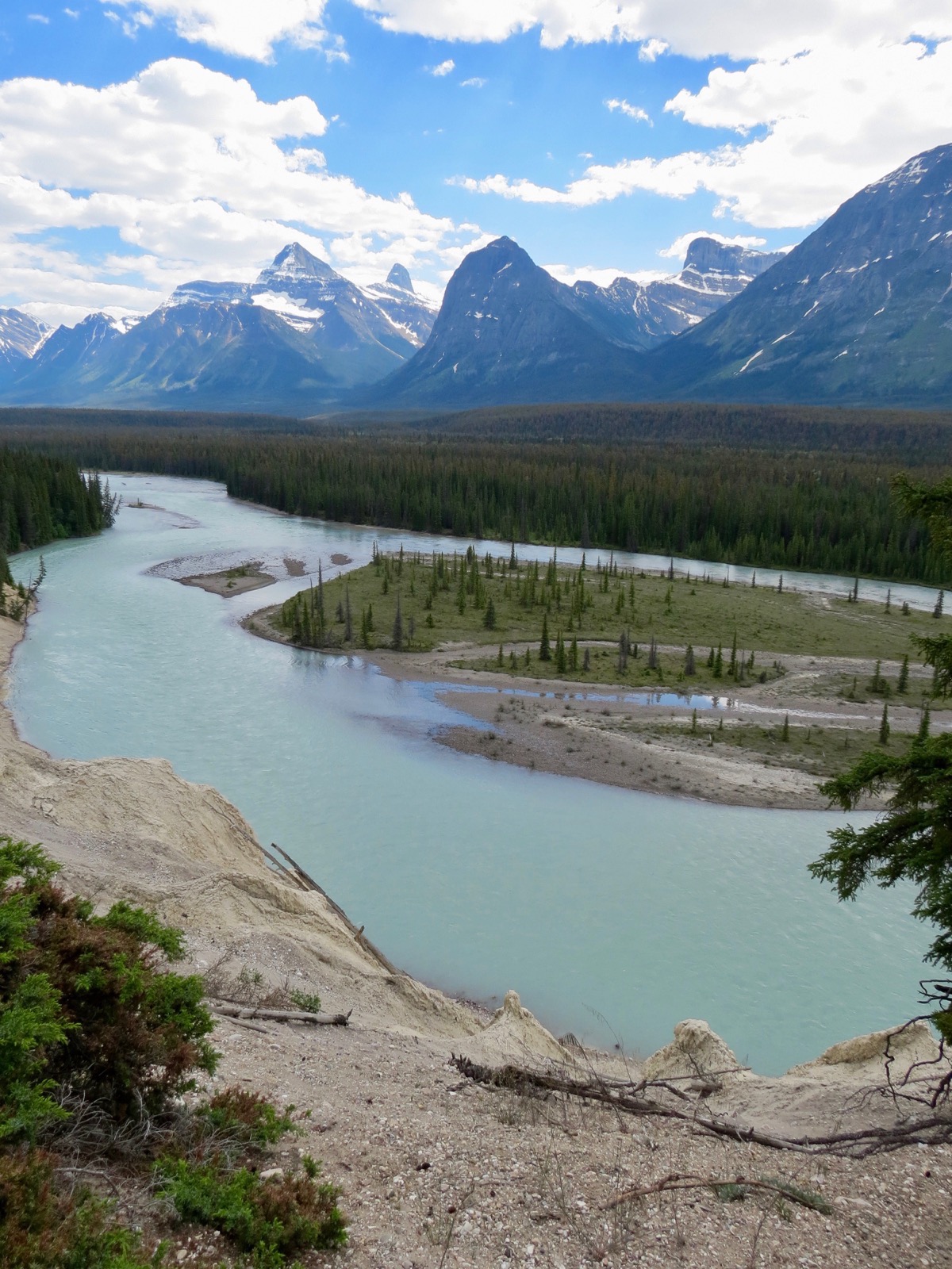
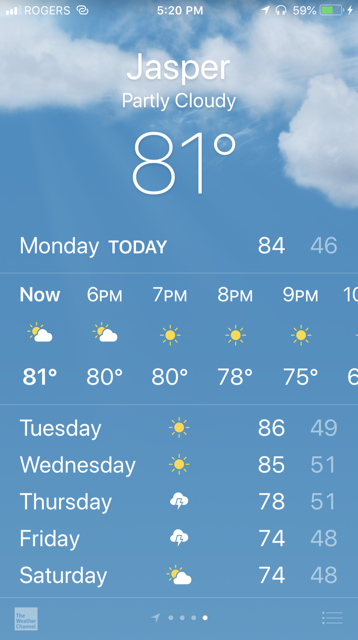
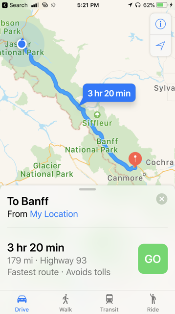
We drove 189 miles today from Banff to Jasper for a total of 3,898 miles so far. We are staying in the Whistler Campground for the next two nights at $32.90 per night.
-
Day 20 -Banff
It was a beautiful day in Banff today with temperatures between 65-70 and beautiful blue skies. Driving into Banff from our campground in Canmore, the road looked like it would run straight into this beautiful mountain.
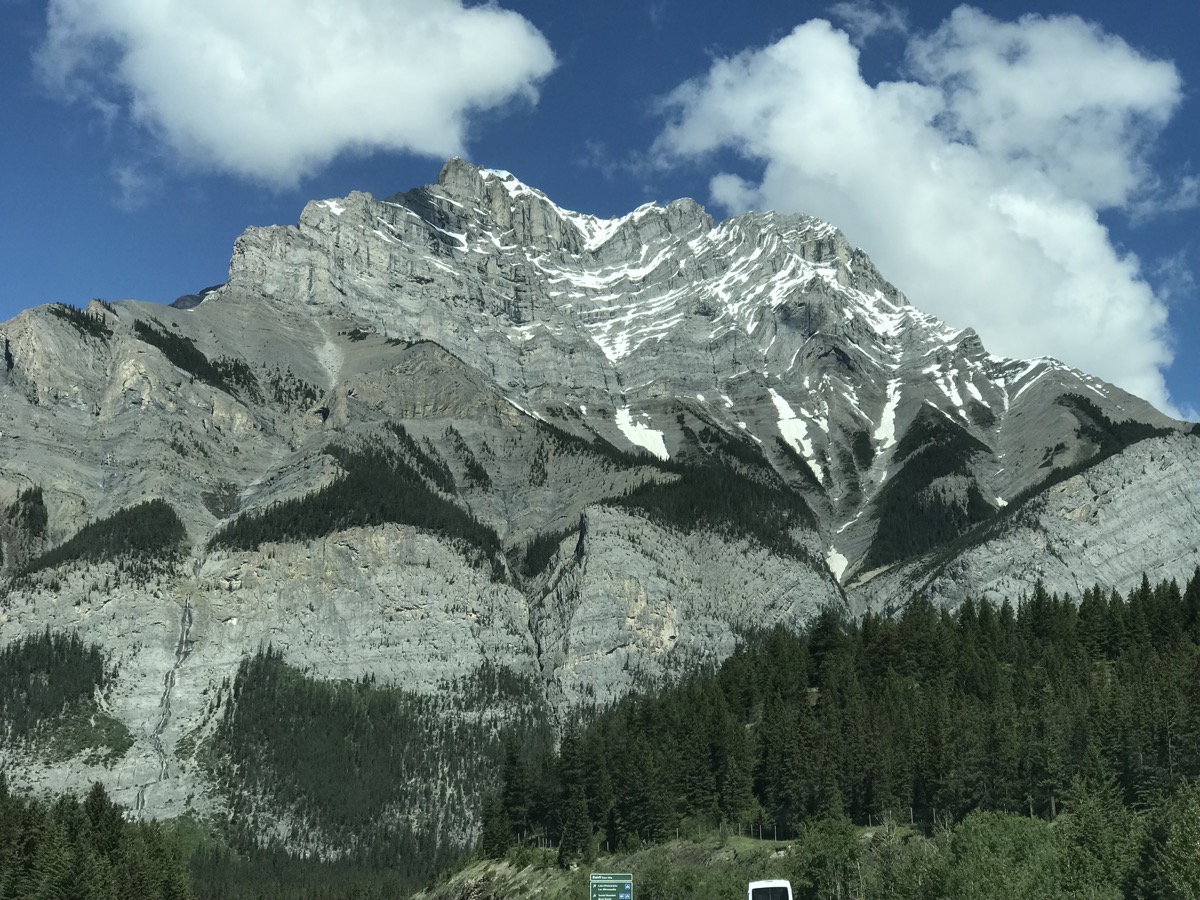
We first drove to the Surprise Corner overlook where we could see the world famous Fairmont Banff Springs across the river.
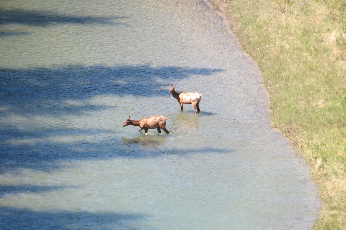
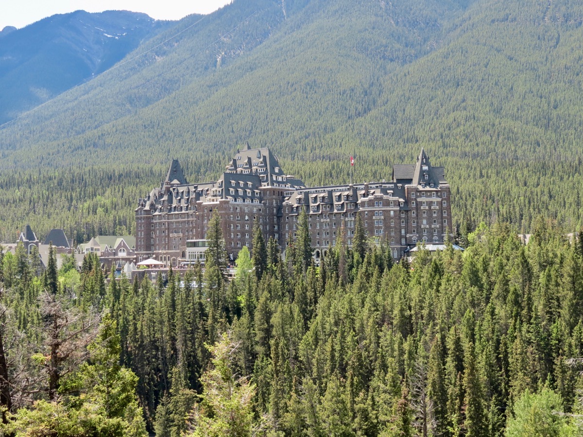 We also saw two elk swimming across the river way below us.
We then drove to the other side of the river and stopped at the Tunnel Mountain Overlook and hiked along that trail to see a beautiful vista and to see the hoodoos. After seeing the beautiful hoodoos in Sedona, these were very plain. We were able to park the motorhome in our new campsite at Tunnel Mountain II Campground earlier than expected, so we just used the car for the rest of the day.
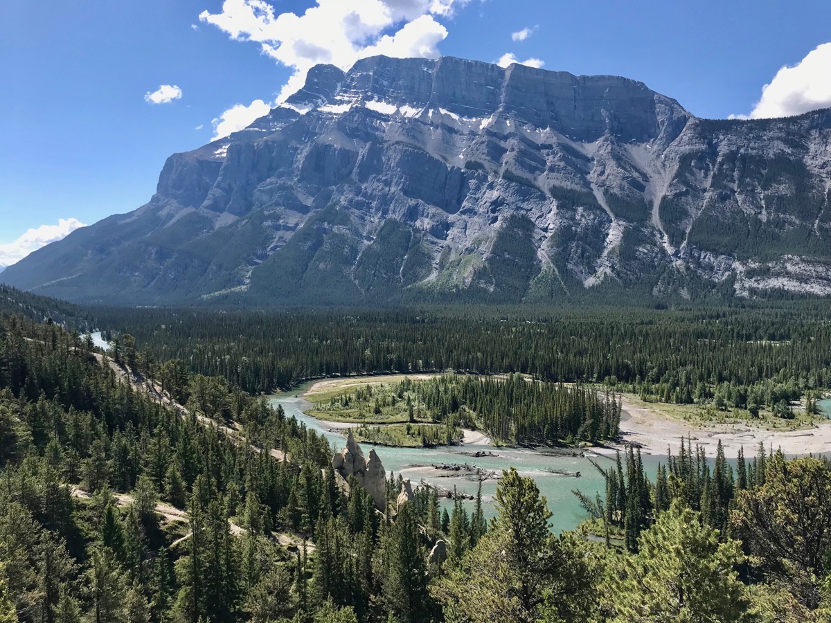
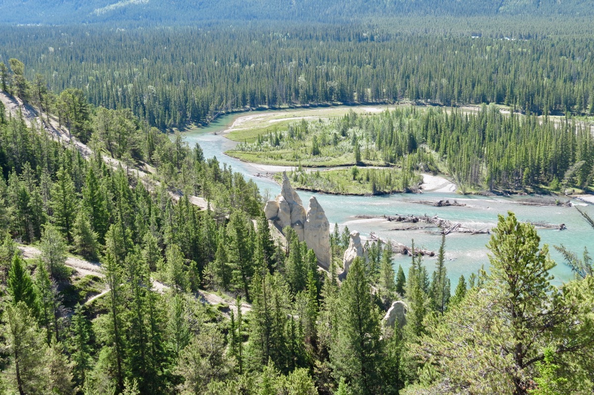
Hoodoos in middle of picture near the water
Bow River Trail
After parking the motorhome we walked the Bow River Trail from Downtown to the falls and the golf course.
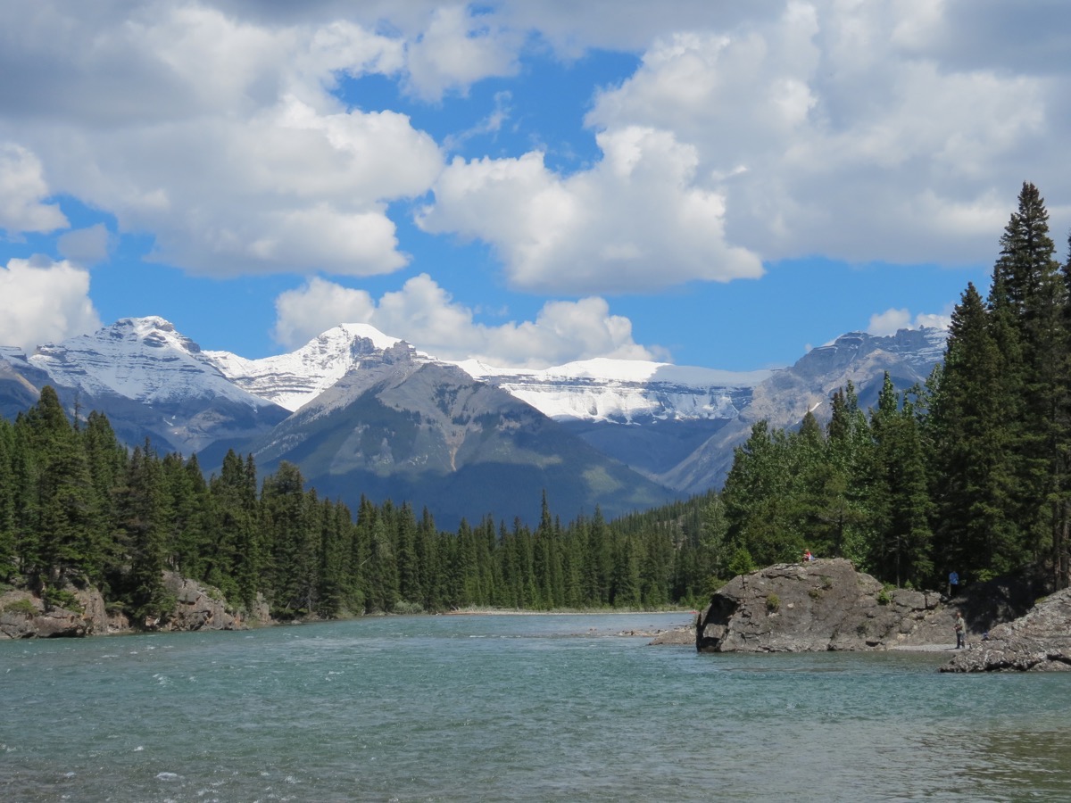
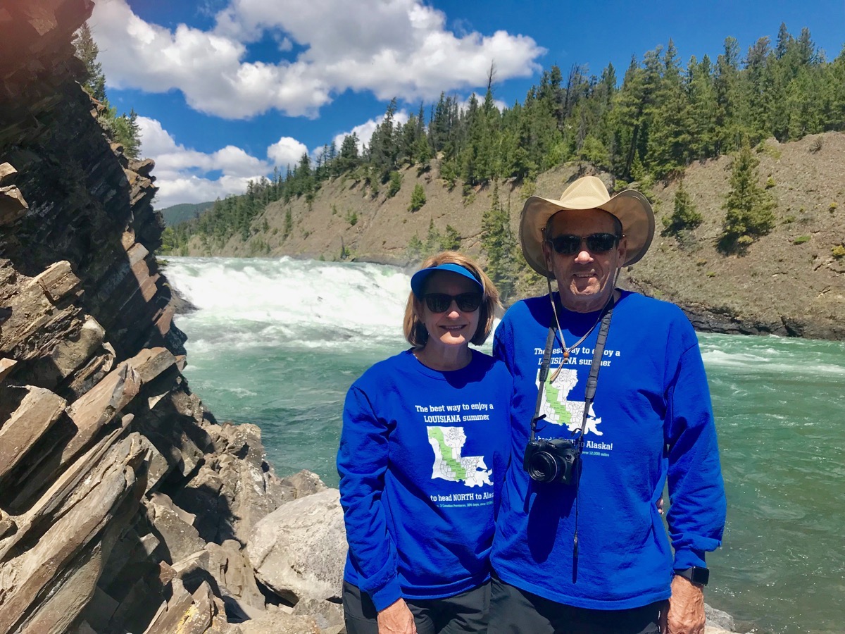
We are standing by the falls wearing “the best way to enjoy a LOUISIANA summer is to head north to ALASKA!” shirts.
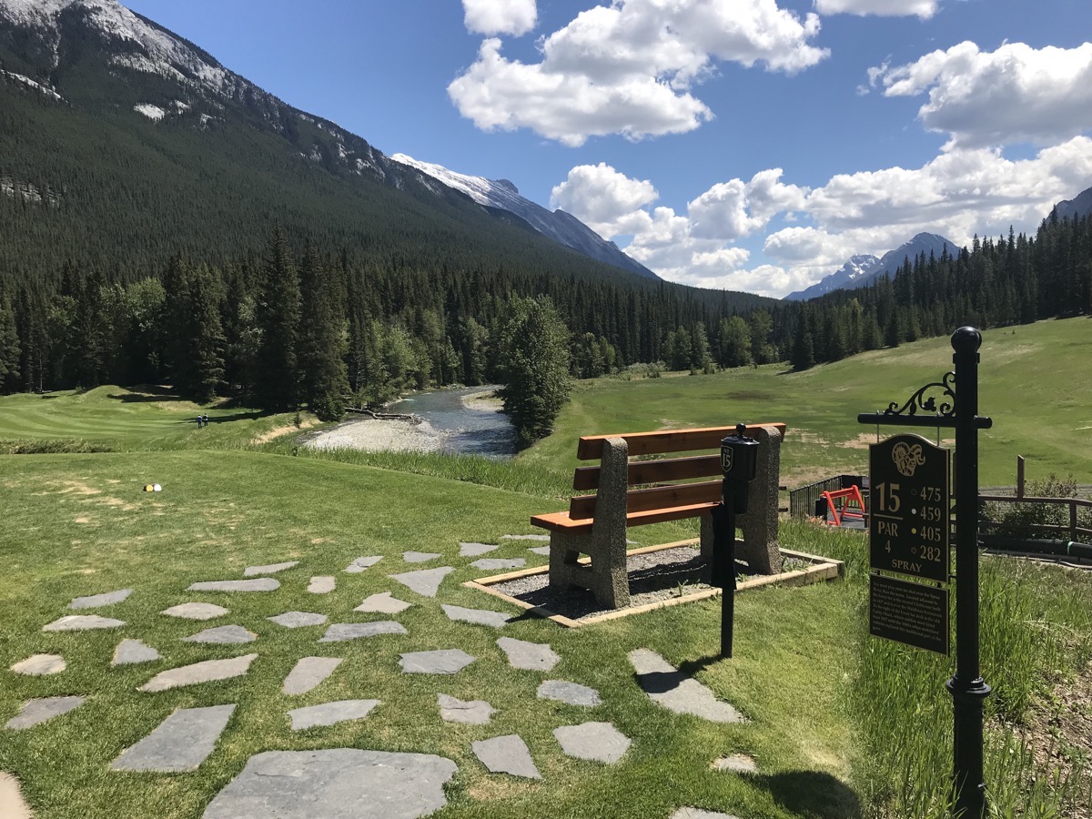
The sign by the tee box for hole #15 Spray on the golf course read, “You must play your tee shot over the Spray River, thus the name."
Johnston Canyon Falls
We drove out to Johnston Canyon which was about 1/2 hour from Banff and hiked to the lower and upper falls. The hike here was a total of three miles and uphill almost the whole way to the falls.
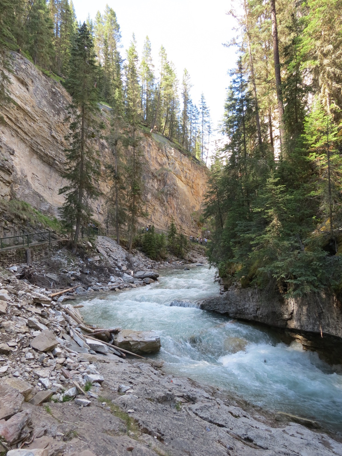
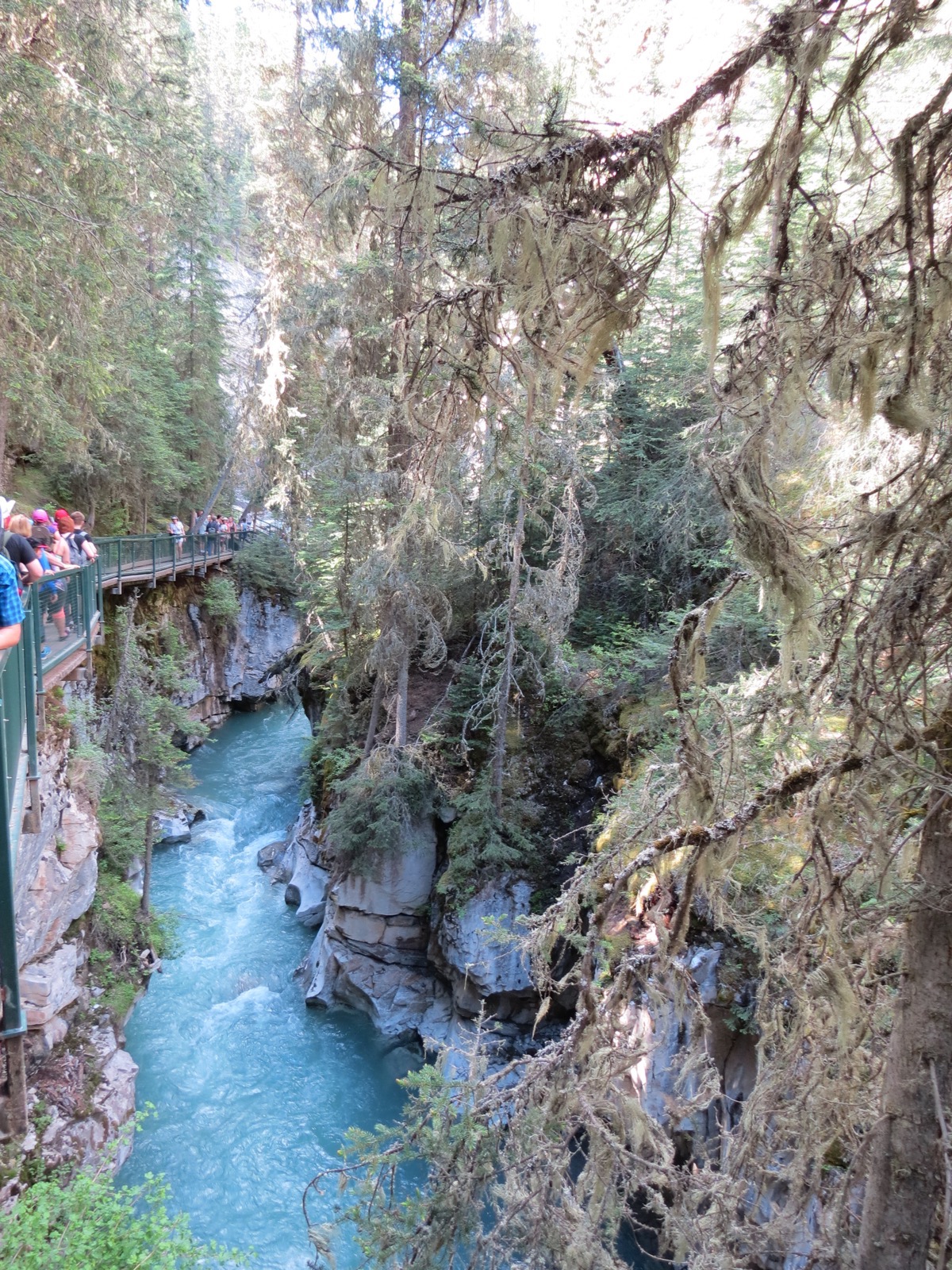
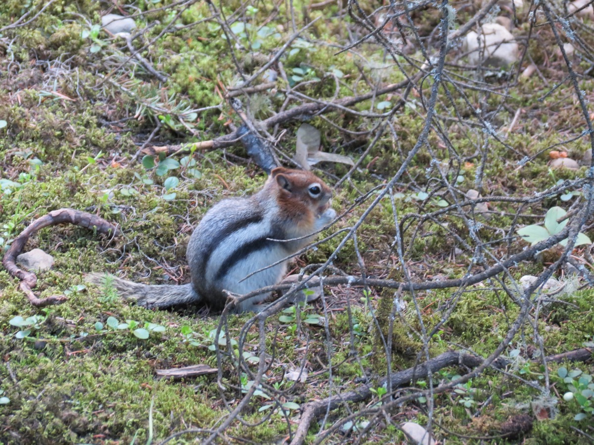
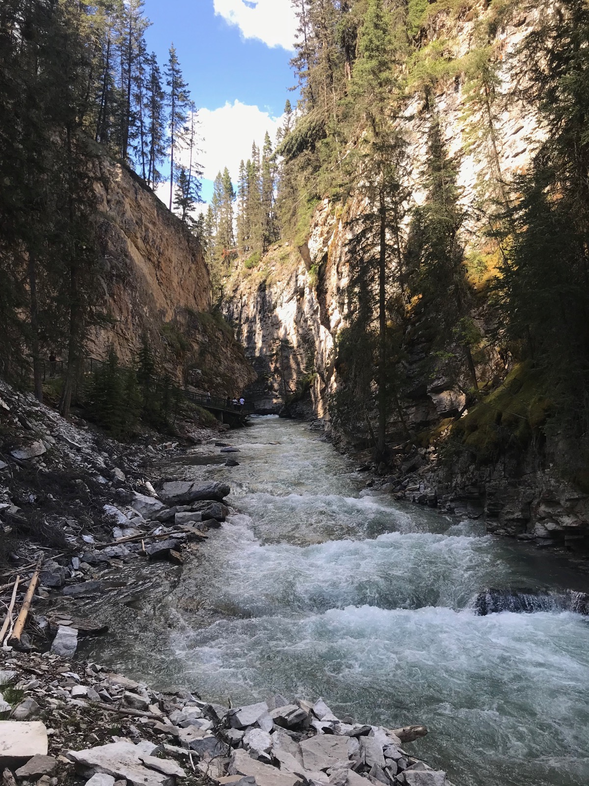
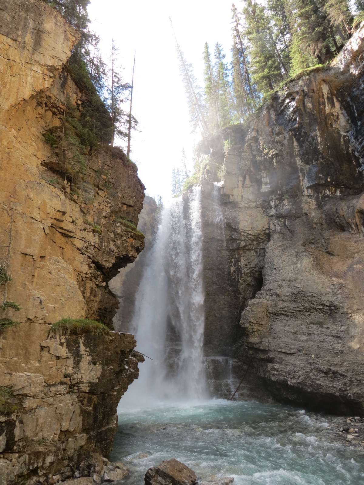
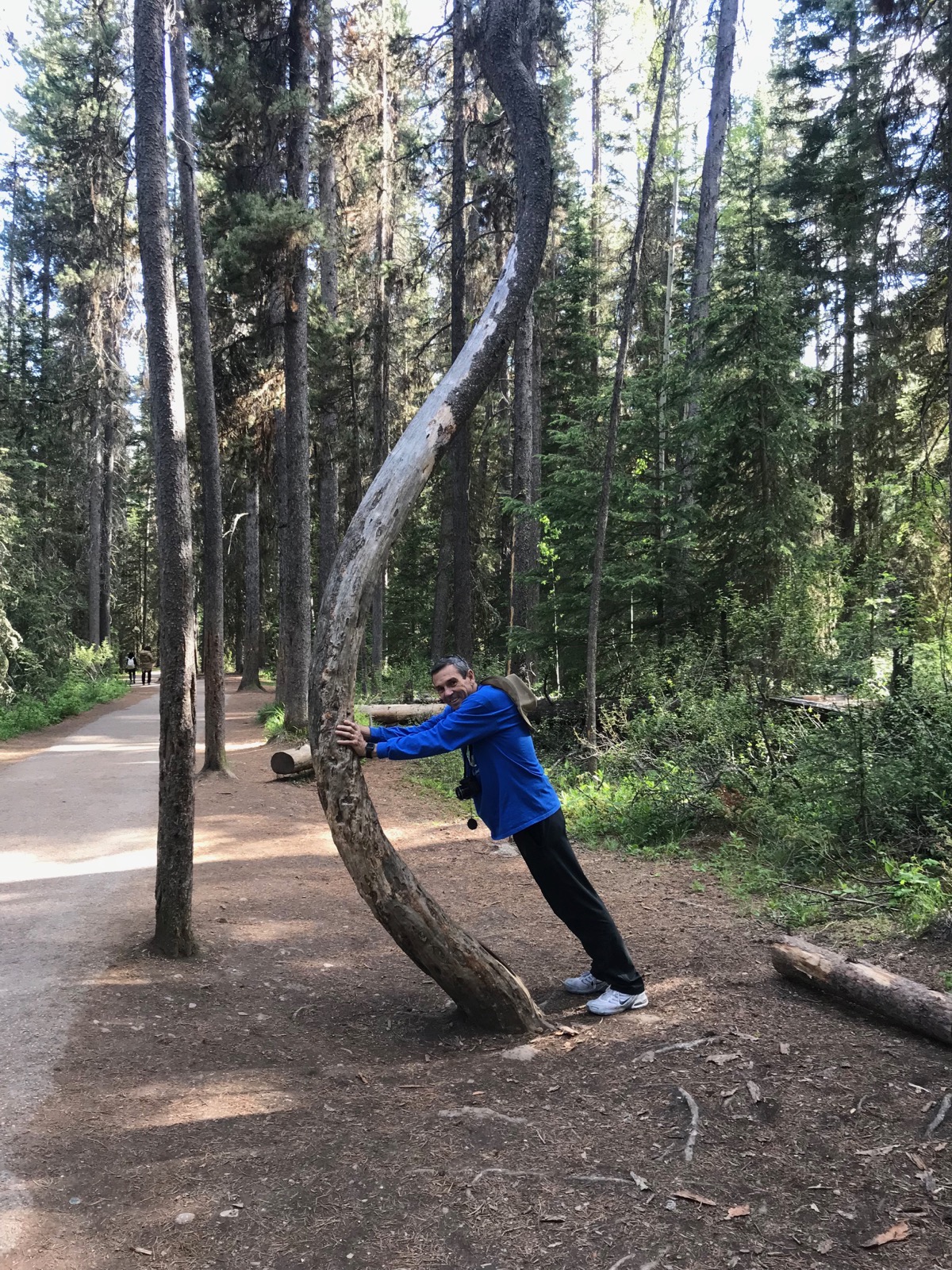
Is Tom strong or what???
We hiked a total of 9.97 miles!!!! We ate dinner at The Keg tonight and I could barely walked up the flight of stairs to our table.
We only drove 16 miles in the motorhome today and 56 in the car—3,709 for the entire trip so far.
Tonight we are staying at the Tunnel Mountain II campground, which is part of the Canadian Park system for $32.91 (in US currency).
-
Day 19 - Naples, Idaho to Banff, Alberta
We left the RV park in Naples, Idaho at 8:45 am and stopped for gas in Bonners Ferry. Thirty miles later we crossed into the British Columbian Province in Canada at Kingsgate. At the border we had to show our passports and vehicle registration and were ask a few questions.
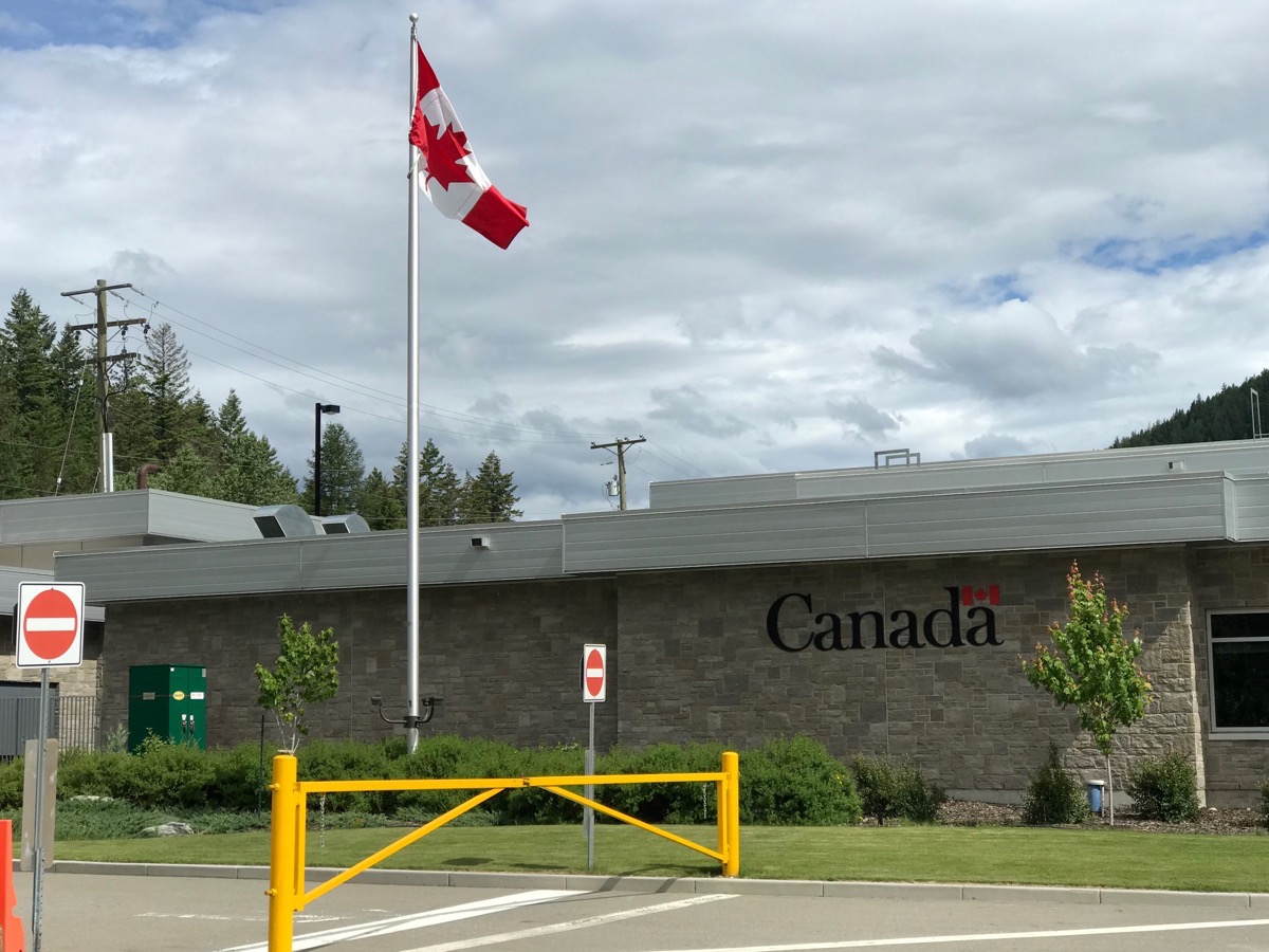
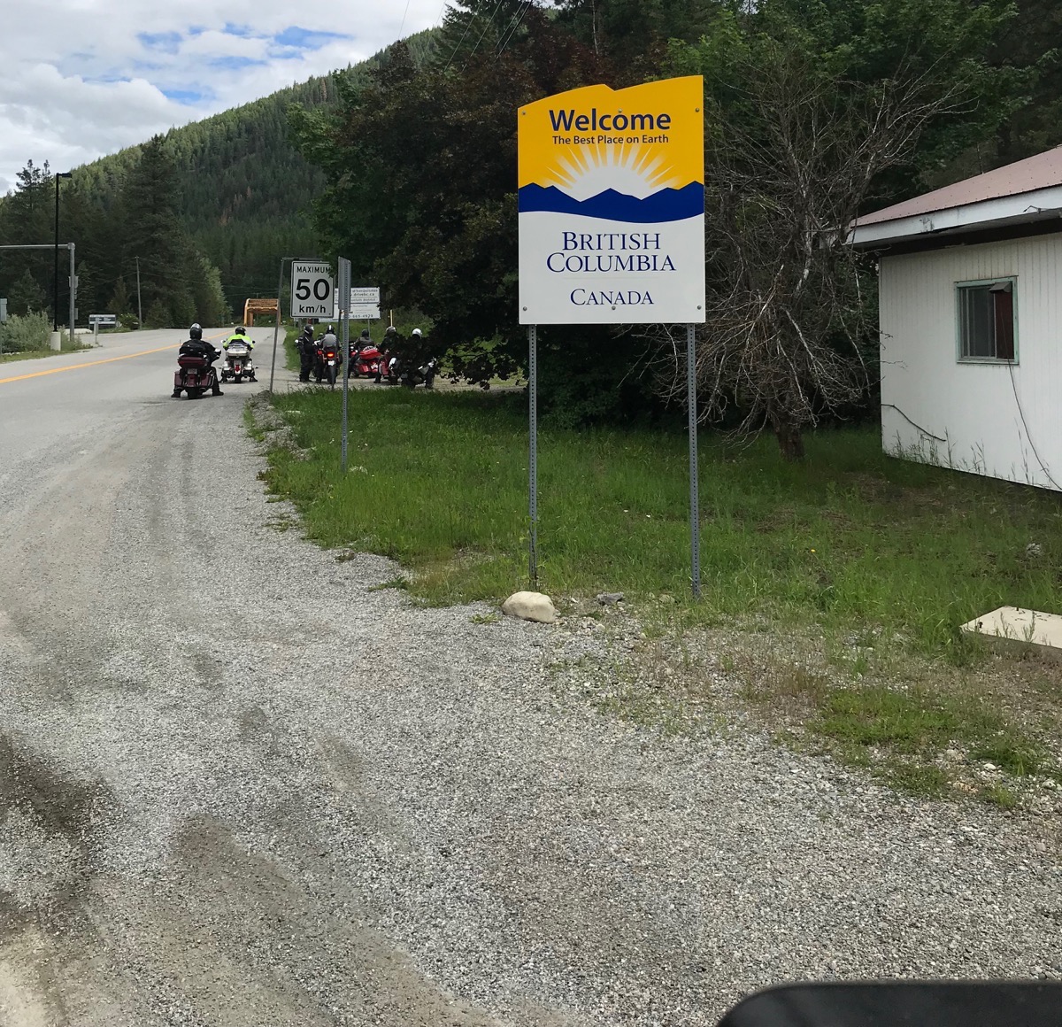
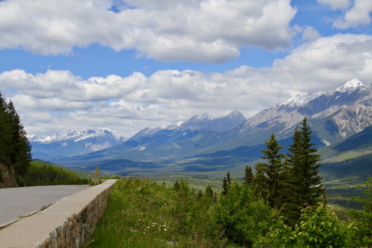
The scenery was absolutely breathtaking along the way, but most of the way there were no shoulders to pull over to take pictures. We entered Kootenay National Park from the town of Radium Hot Springs around 2:00pm. Within the park there were shoulders along the highway and scenic overlooks.
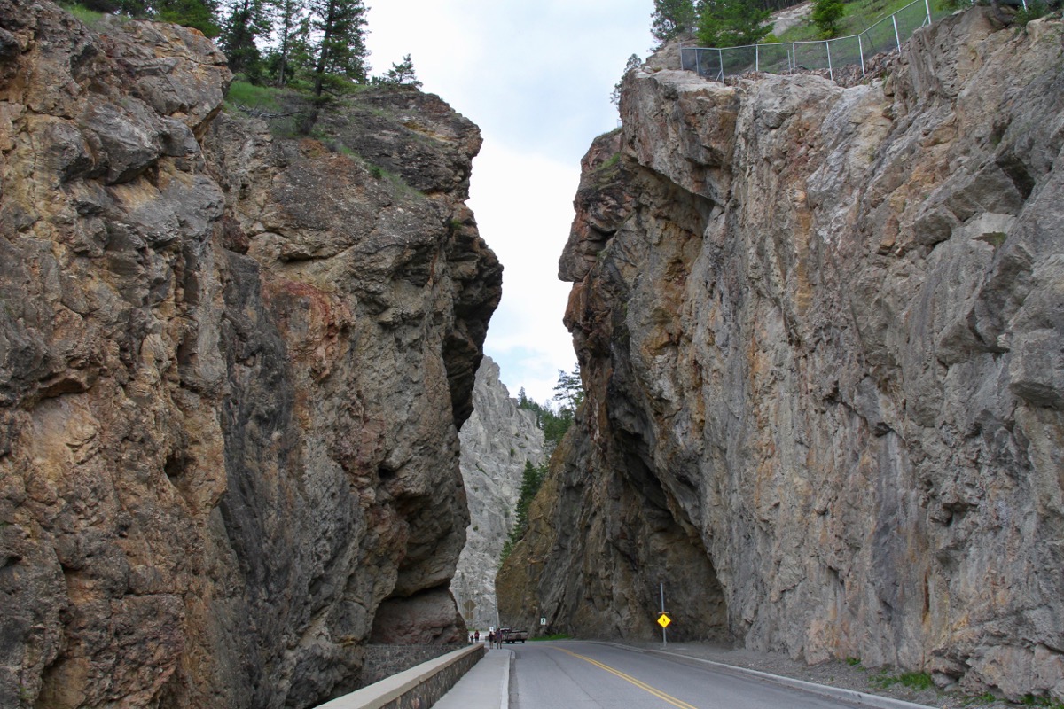
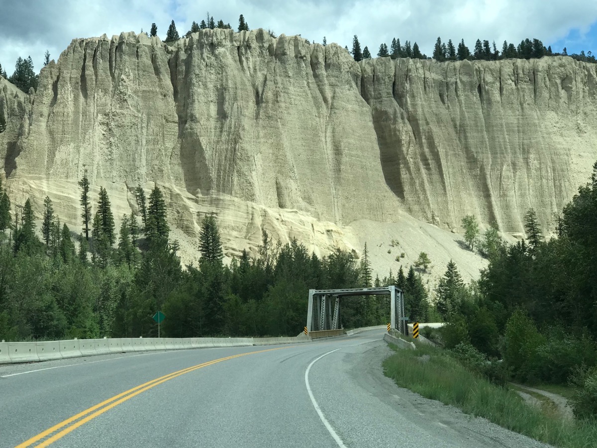
We took a little 1.5 hike to the Paint Pots while in Kootenay National Park
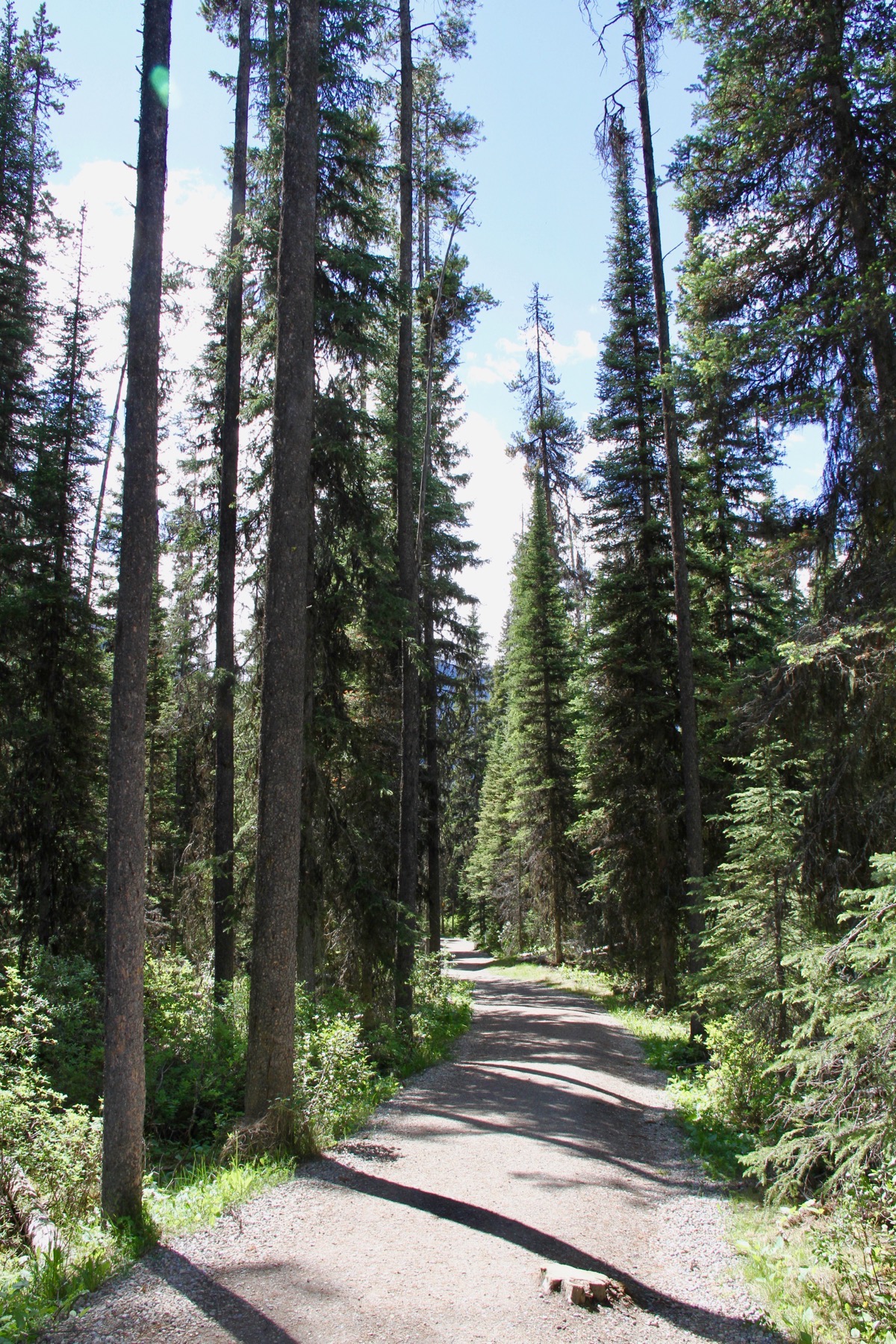
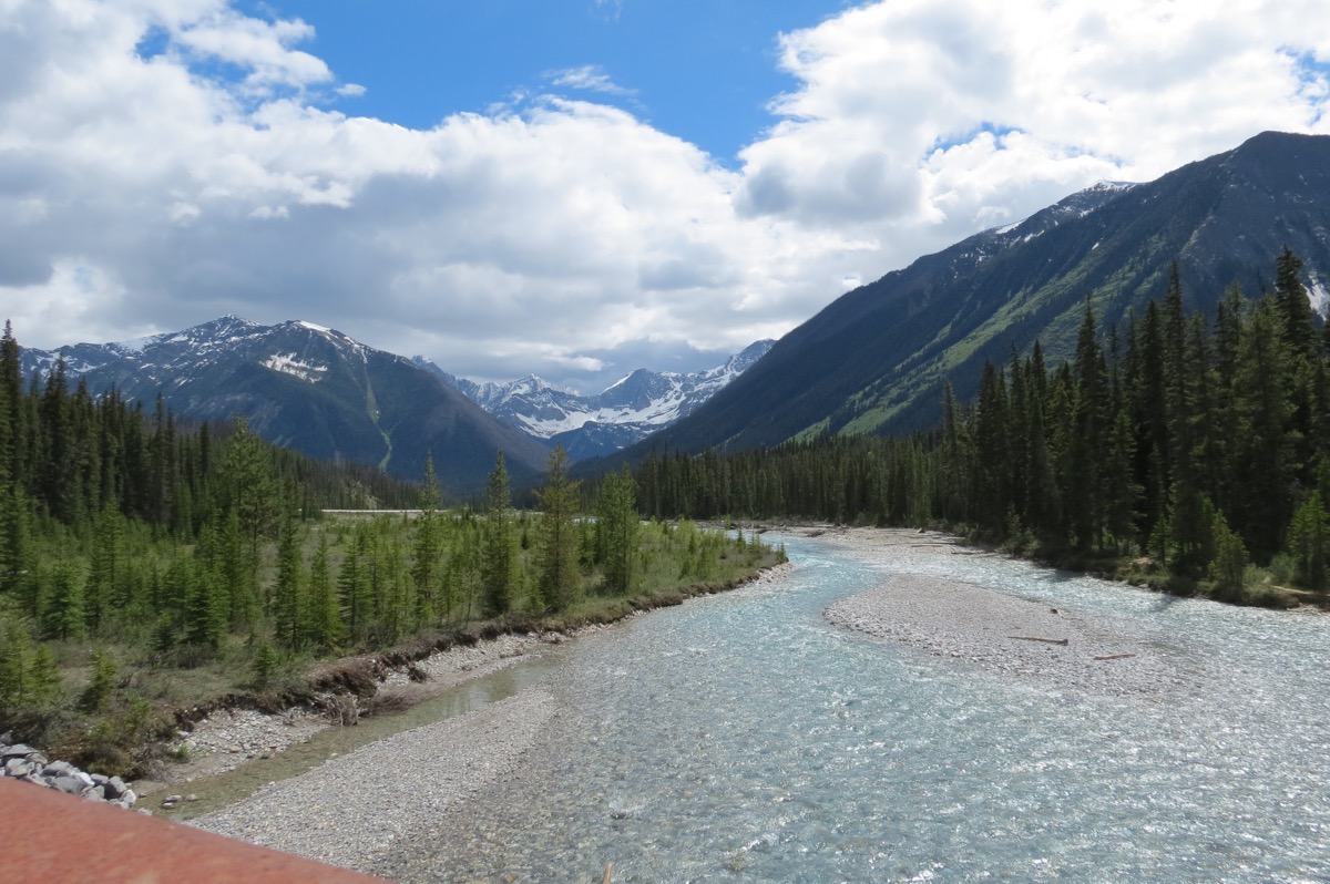
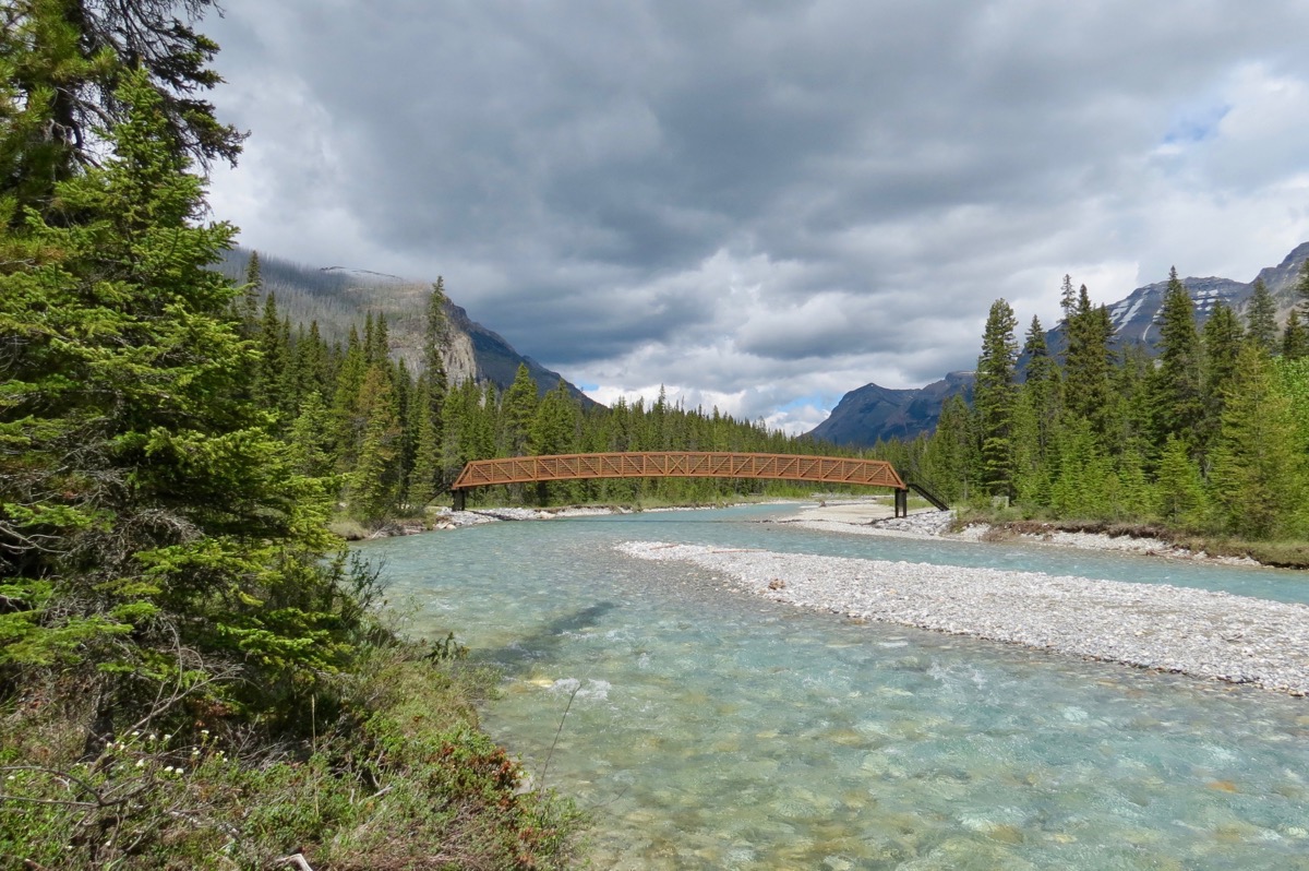
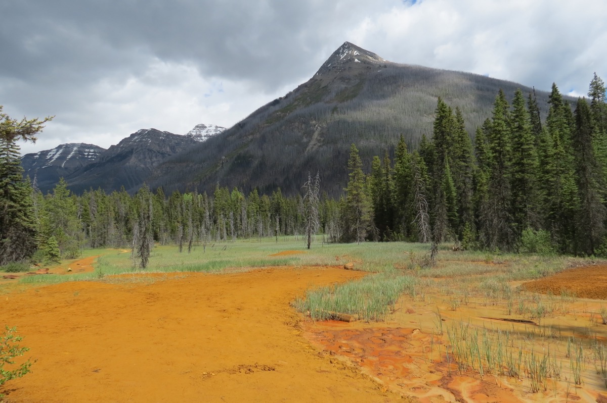
These are the “Paint Pots"
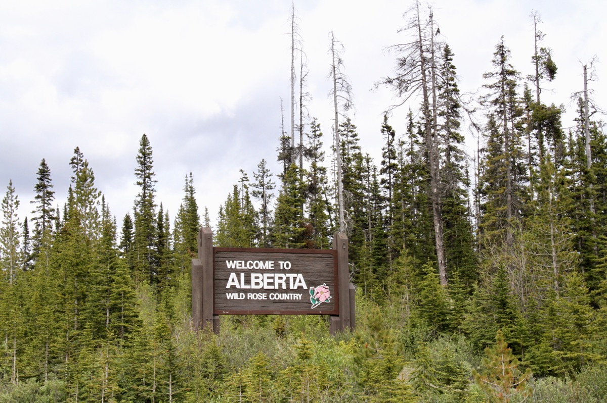
We crossed into the Province of Alberta as we exited Kootenay National Park and Entered Banff National Park.
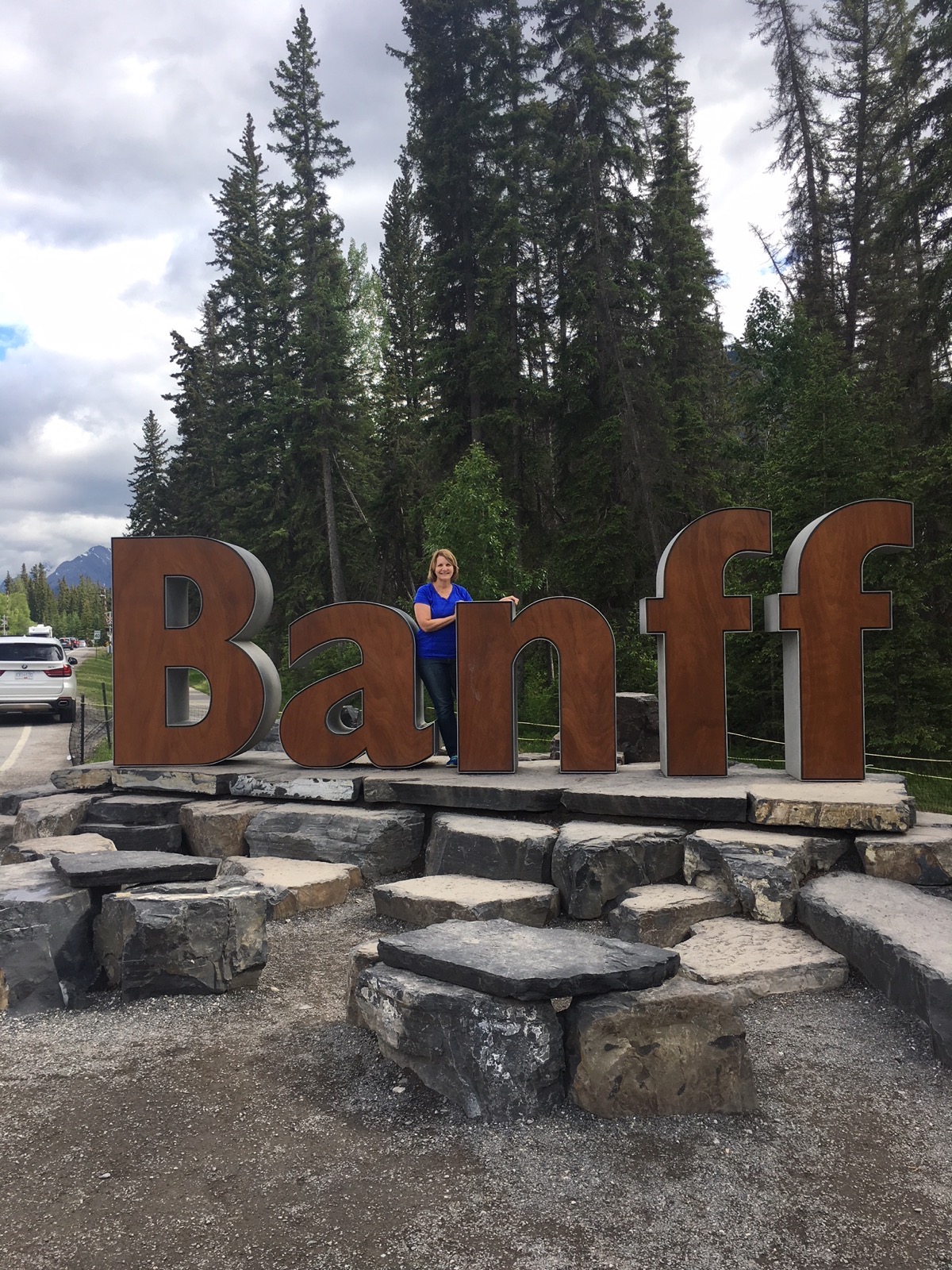
We pulled into the Banff information center that had “RV Parking.” but clearly not for our size RV—let alone one pulling a vehicle. Luckily, Tom was able to maneuver around the lot and exit safely, but we were not able to park. He pulled over on the side of the road so I could jump up and have my picture taken at the “Banff” sign!
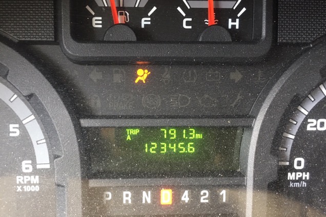
Check out our odometer —12345.6 miles right after we entered Banff.
Once we arrived in Banff there were no vacancies at the park where we had planned to stay, so we had to start scrabbling to find somewhere to stay for the night. Every place we called was booked, but we finally found a spot at Rundle Mountain RV Park. Believe me, the name sounds better than the park looks!! It must have rained here a lot today because the ground is very muddy, but at least we have someplace to stay for the night.
We just talked to Brent and Ben arrived safely in Birmingham an hour late after having a great time in Dallas for the day. He got to go to Max’s baseball game and then go swimming at Monty and Renee’s country club.
Travel Information
Today we drove 279 miles to get to Banff. So far we have driven a total of 2,808 miles in the camper and 829 in the car for a total of 3,637 miles.
The last gas fillip here in Banff was $1.419 per liter which makes it $4.067 a gallon! Our total gas expenses so far is $1,172.76.
Campground tonight was $41.50. Campground total is 569.38, or an average of $30 per night.
-
Day 18 - Spokane Airport to Bonners Ferry, Idaho
We had quite the scare this morning when Brent called to say Ben’s flight from Dallas to Birmingham had been CANCELLED!!! I had just gotten an email at 9:40 saying his flight from Spokane to Dallas was on time. At 10:48 American emailed me to say “one of your flights was canceled and we were unable to rebook your trip from Dallas to Birmingham.” I called American Airlines and was told that he could not be rebooked out of Spokane until Sunday. I was on Tom’s phone calling our friends Monty and Renee in Dallas to see if they could get him off the plane in Dallas today. He is now spending the night with them tonight and flying home tomorrow evening at 5:14pm. Thank God for good friends and for Ben’s sense of adventure!!!
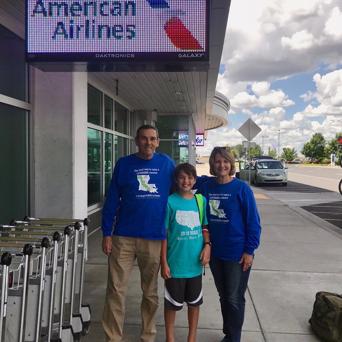
So…we drove to the airport and I went to the gate with him and waited for his plane to take off. Tom and I had our “The best way to enjoy summer in Louisiana is to get NORTH to Alaska” shirts on and Ben was wearing his “2018 Road Trip” shirt. Tom couldn’t go past the ticket counter because he didn’t have his wallet (license) with him.
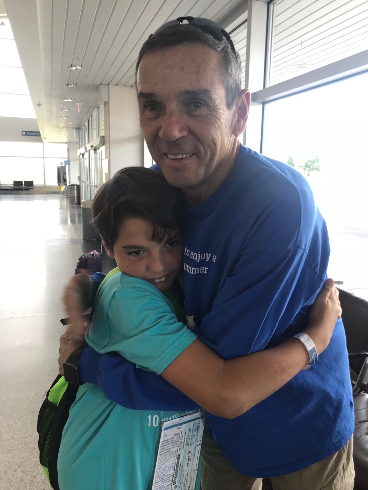
Saying “Good-bye” to the best little traveller buddy ever!
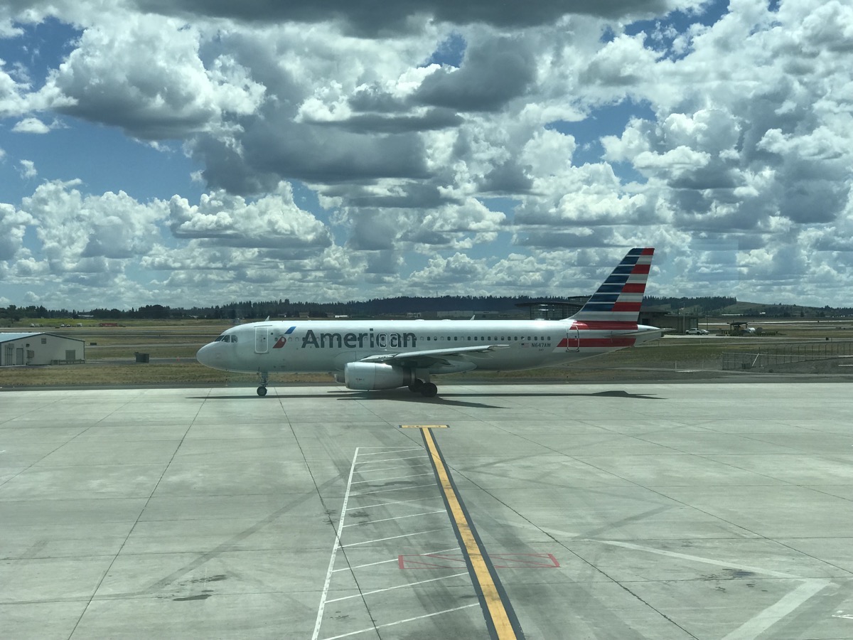
…and he’s off!
We drove from the airport back to the Walmart parking lot where we left the camper, hooked up the car, and headed north to Bonners Ferry, Idaho. At the same time we arrived in Bonners Ferry, Ben arrived in Dallas and Monty and Renee were there to pick him up at the airport.
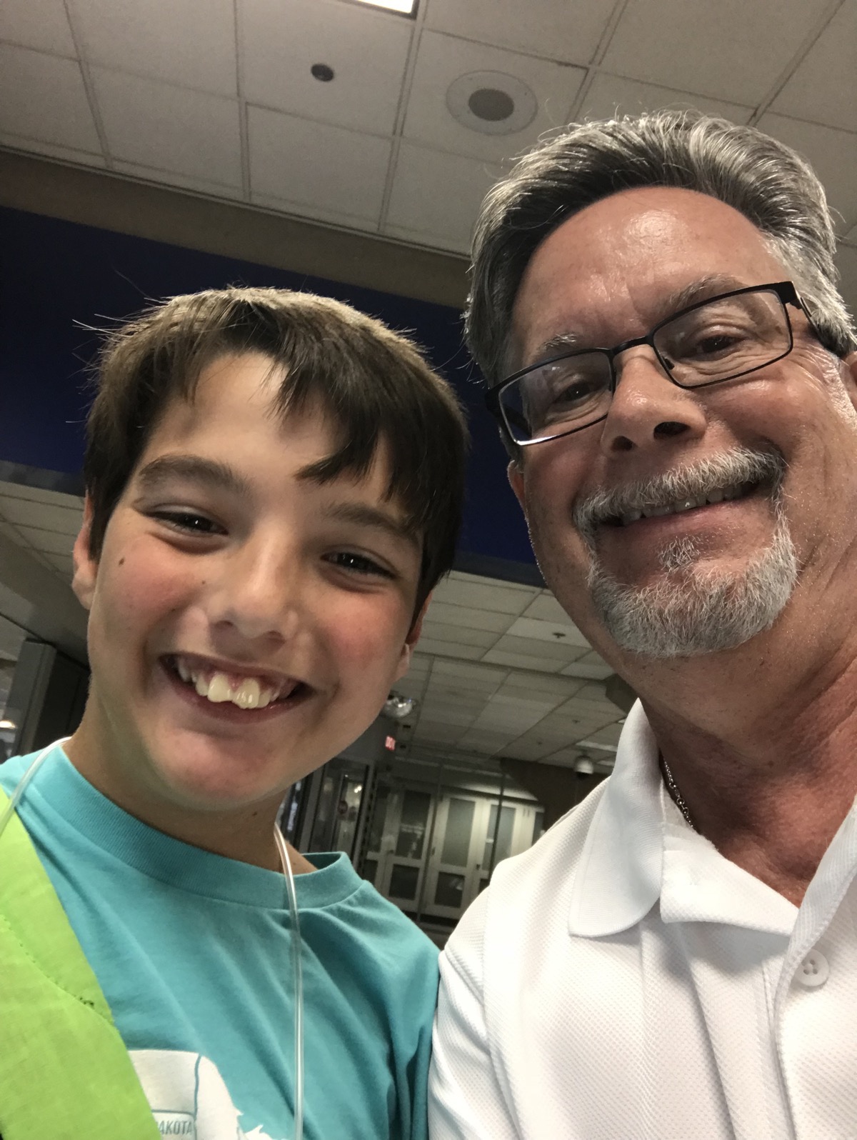
Ben and Monty at the airport
Bonners Ferry, Idaho
After stopping at Walmart to get the ingredients I needed to make Tom’s Chocolate Yummy Dessert, we arrived at the Blue Lake RV Resort and Campground in Naples, ID. It’s a pretty campground nestled in the woods with lots of trees. The temperature when we arrived was a beautiful 70 degrees.
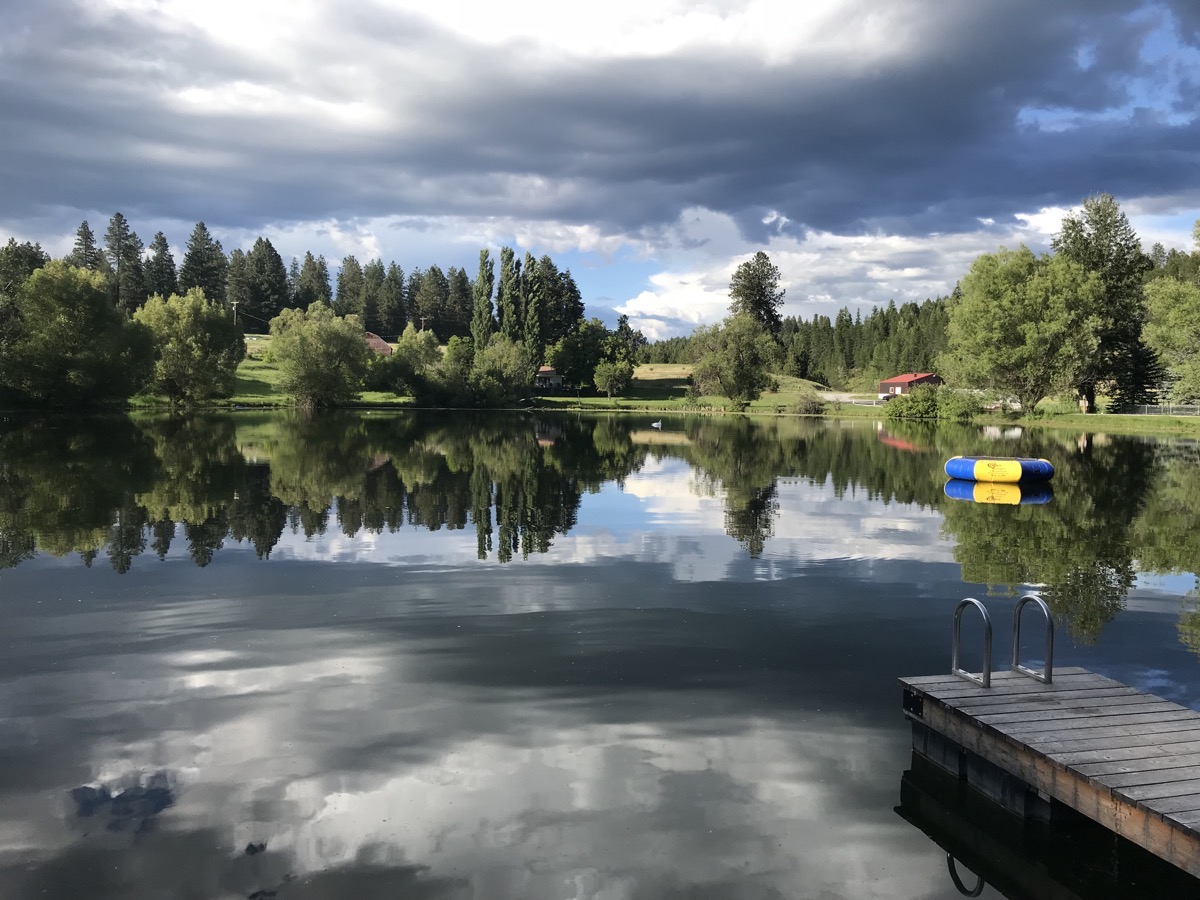
The beautiful lake at the campground.
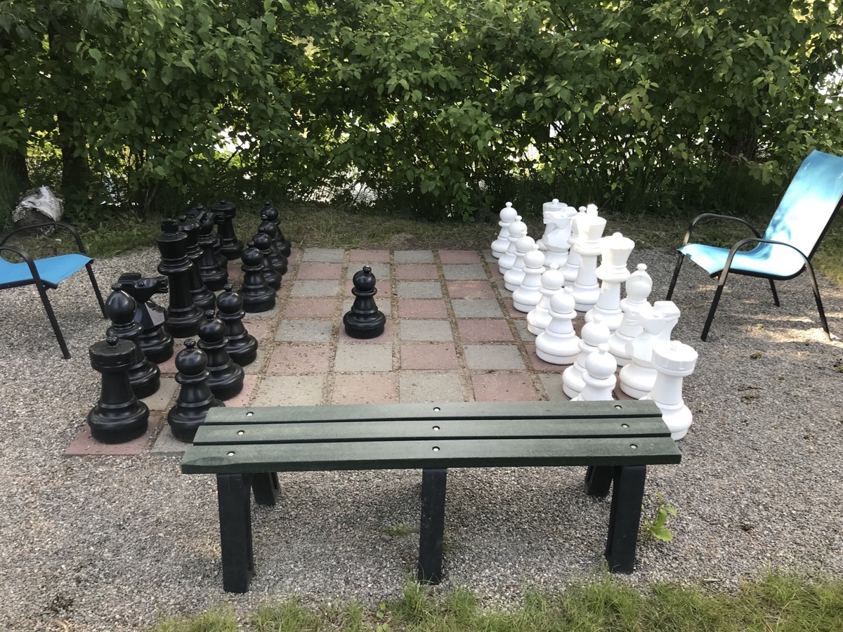
It’s a shame our little chess player Ben flew home today. He would have liked playing a game of chess. In fact, he beat Tom this morning before we left for the airport with our small chess set.
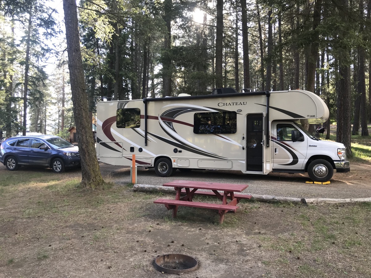 Our campsite, D5
Statistics for today
We drove 88 miles today in the motorhome and 44 miles in the car, for a grand total of 3,358 miles from Lake Charles.
Our campground tonight cost $40.
Gas for the Honda was $40.05
Numbers, numbers, and more numbers….
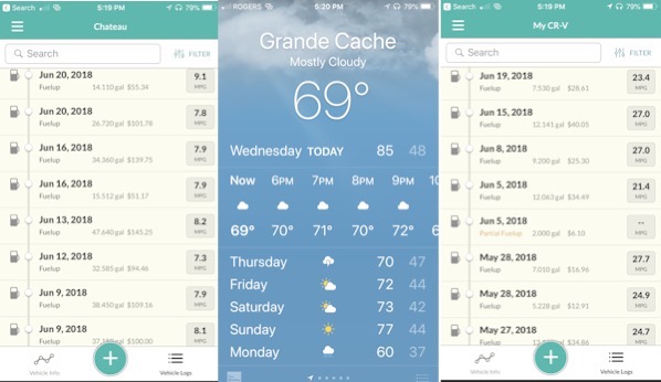
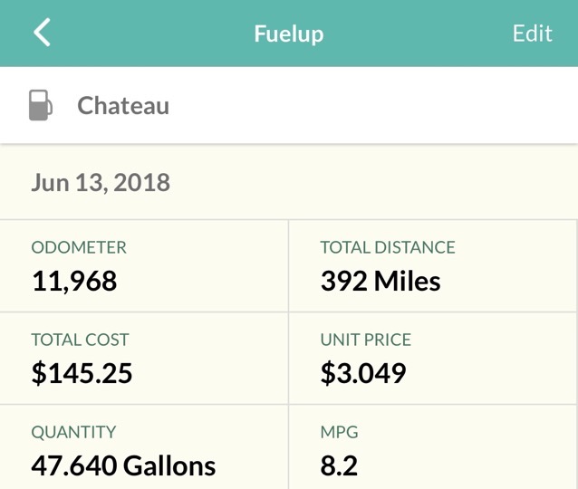
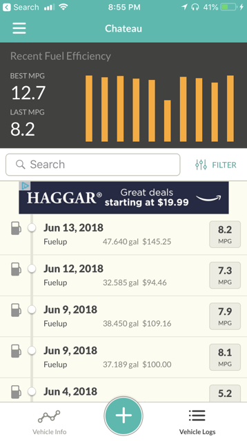
Since both of us are obsessed with numbers, we use this free app called Fuelly to help us track all our expenses for all our vehicles. Each time we fill up with gas it keeps track of the odometer reading, the price per gallon, the number of gallons and the total cost. Then we look at it and see how our gas mileage is doing—or not! We are at both ends of the spetrum with a hybrid at home in the garage and the gas guzzler motorhome we are driving right now, but the adventure is worth it!
-
Day 17 - Coeur d"Alene to Spokane
Last night we spent the night in the Cracker Barrel parking lot in Coeur d”Alene. We went in and ate dinner and had a nice quiet camping spot.
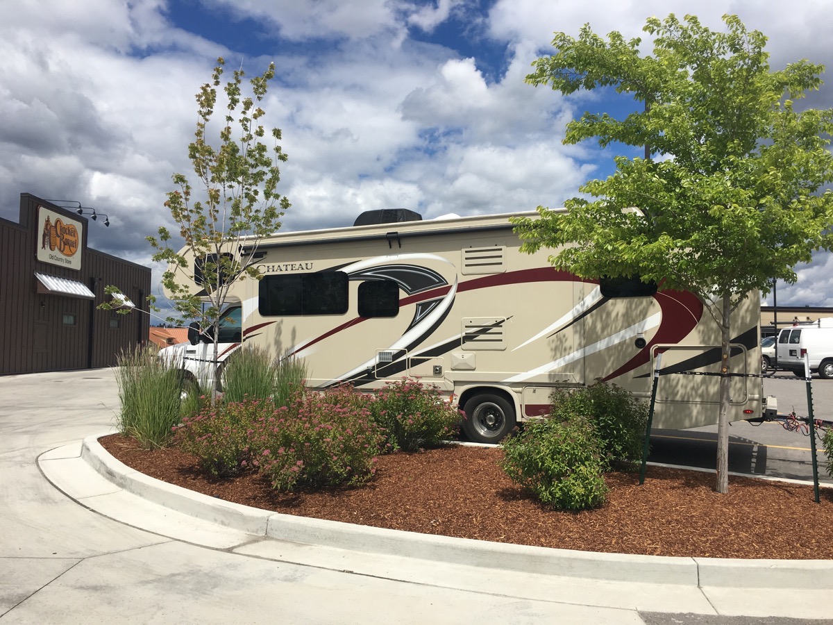
This morning Ben and I went to the laundry mat to wash our clothes while Tom took the motorhome to get the air pressure checked. We left Coeur d”Alene around noon and drove a short distance to Spokane where we camped at the KOA. We dropped off the motorhome and headed to Riverfront Park to walk around and take pictures, of course.
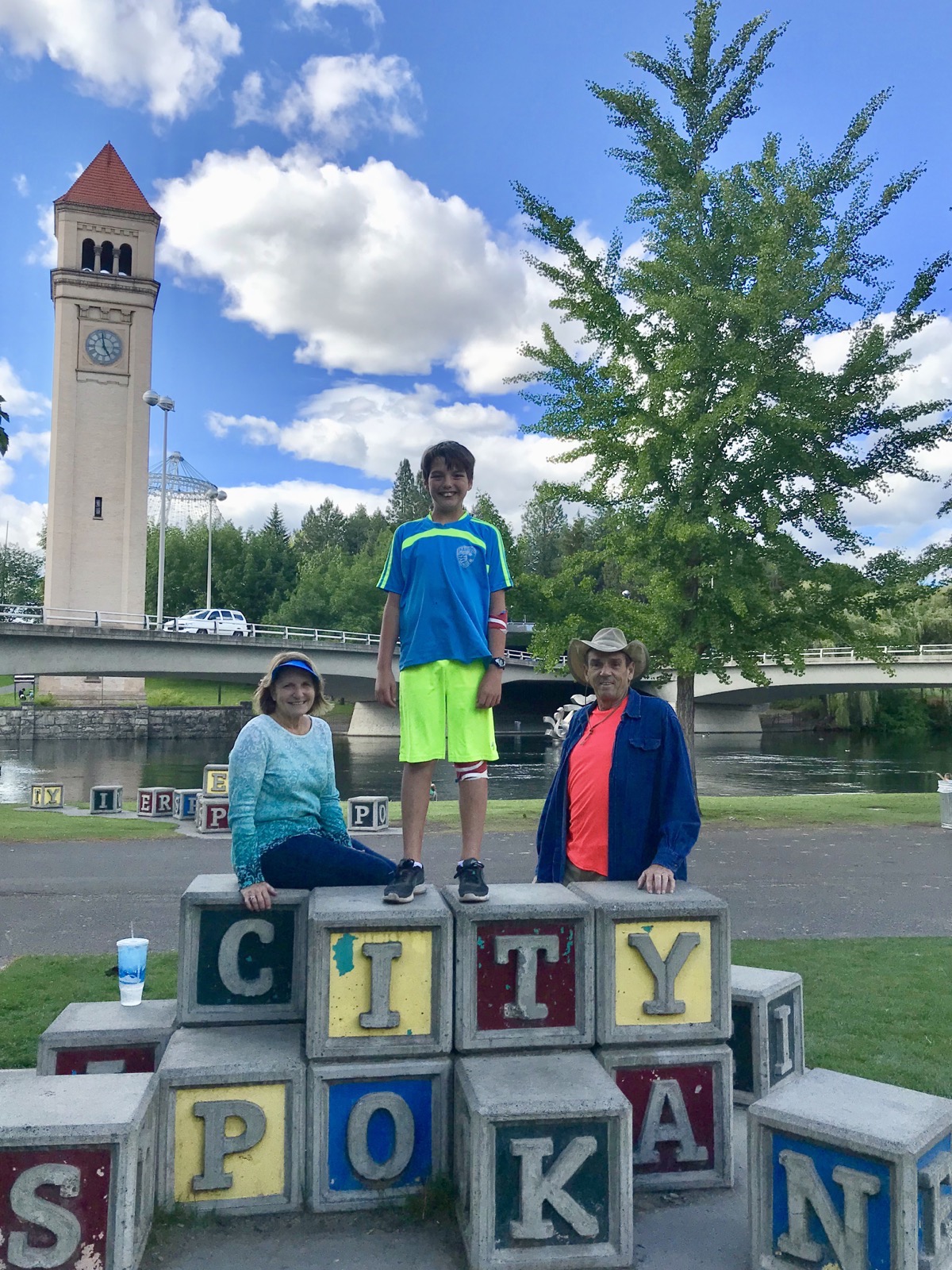
Posing by the “City of Spokane” blocks. Incidentally, that cup with a straw on the side did NOT belong to me.
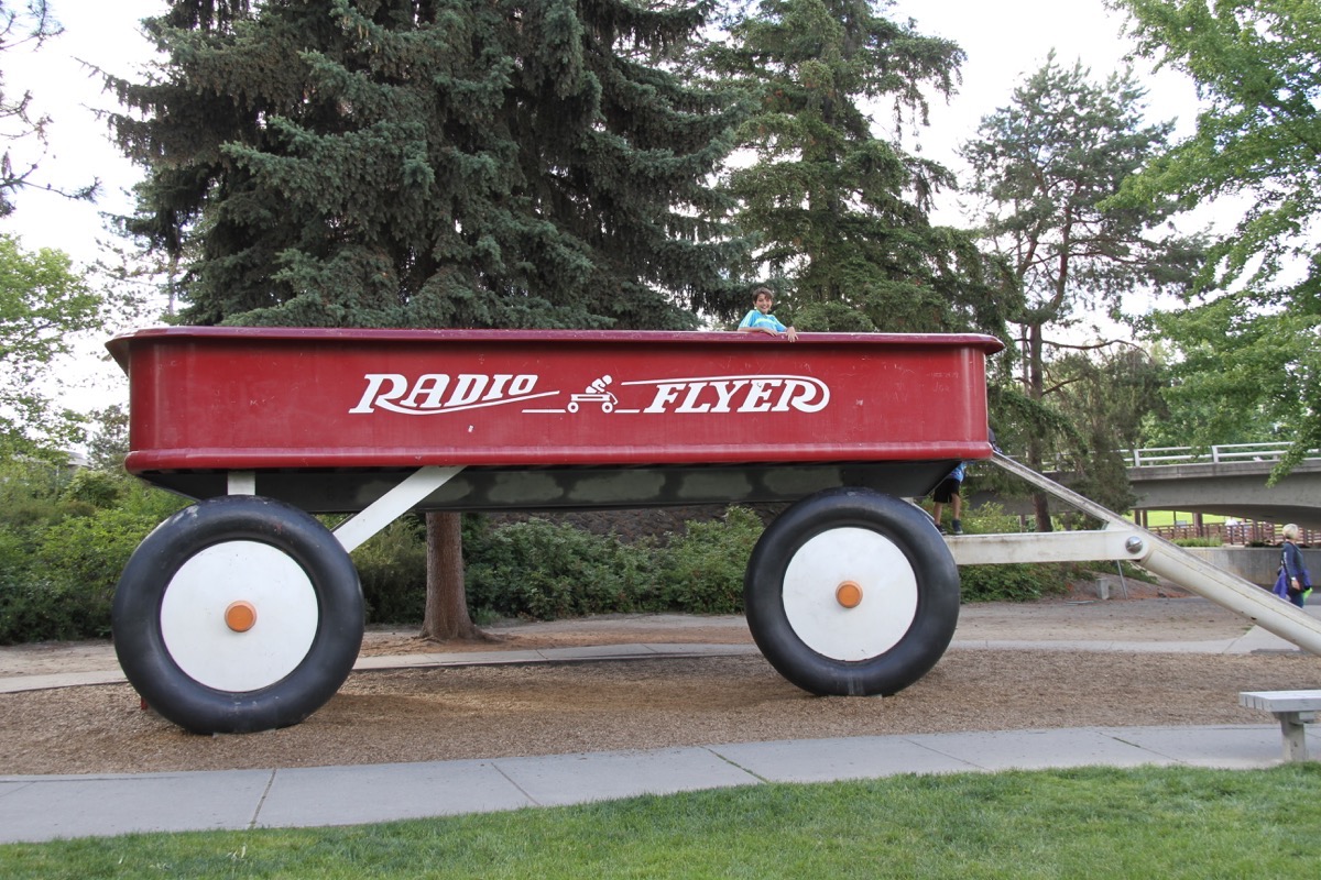
Look carefully and you can see Ben in the giant Radio Flyer wagon.
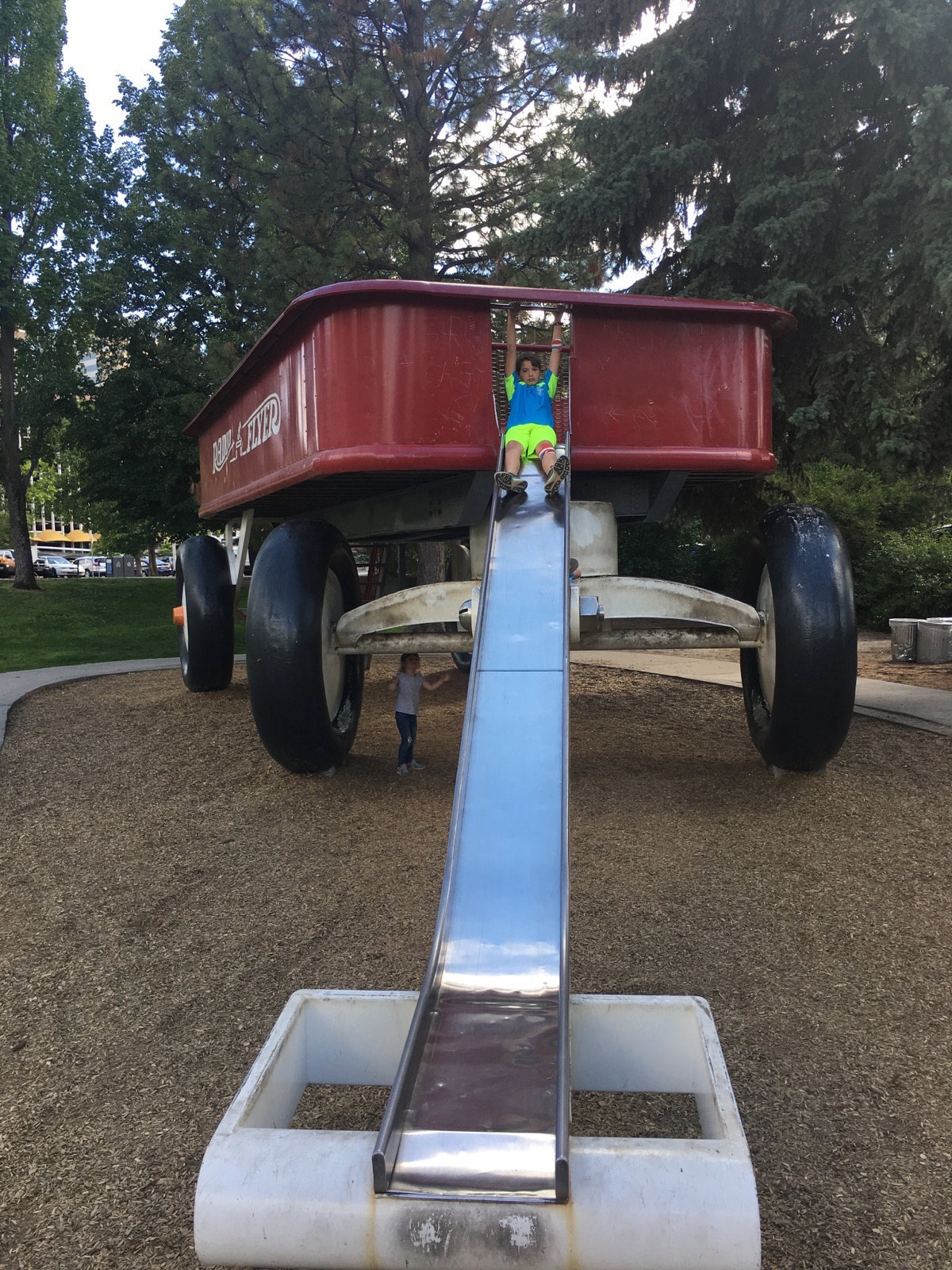
And the wagon handle is also a slide
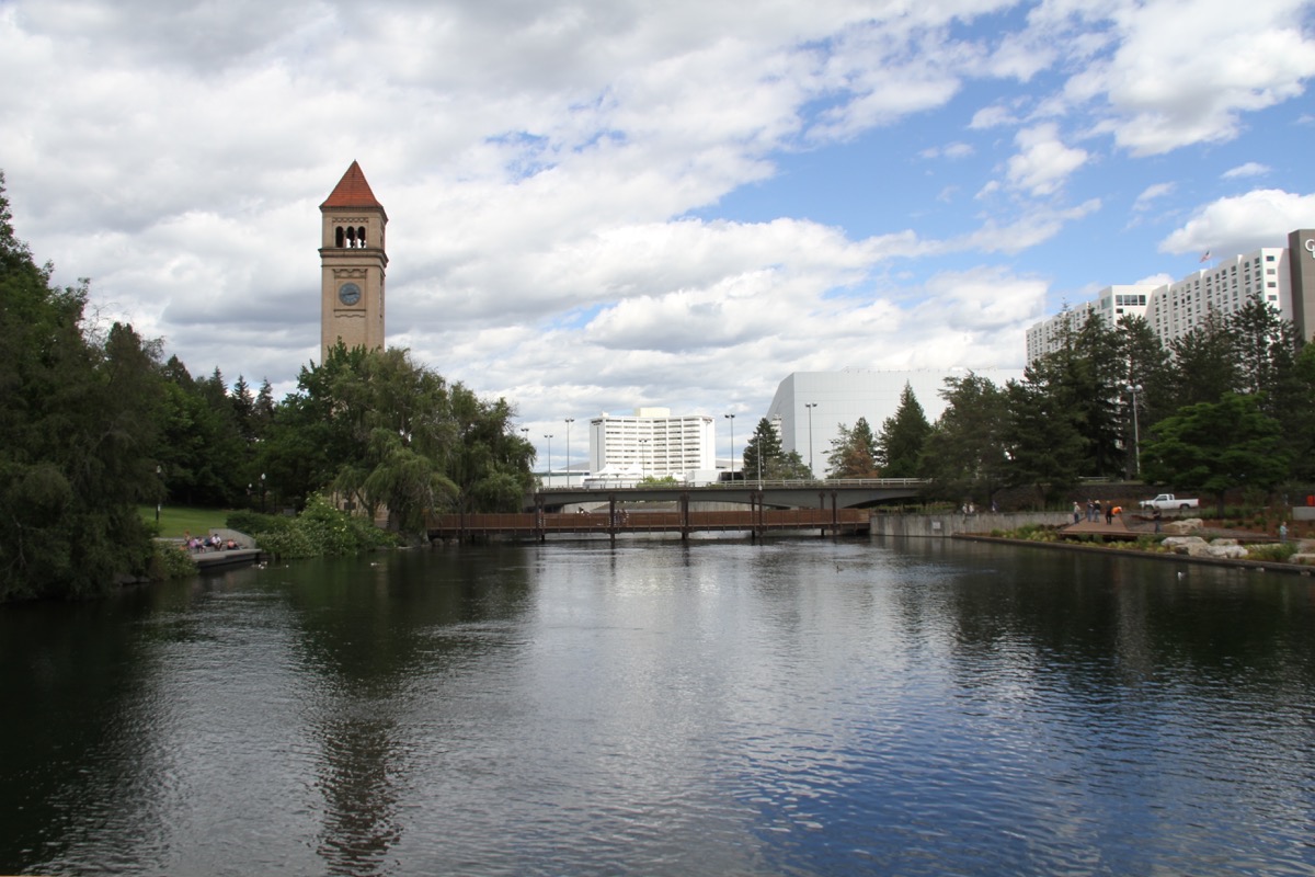
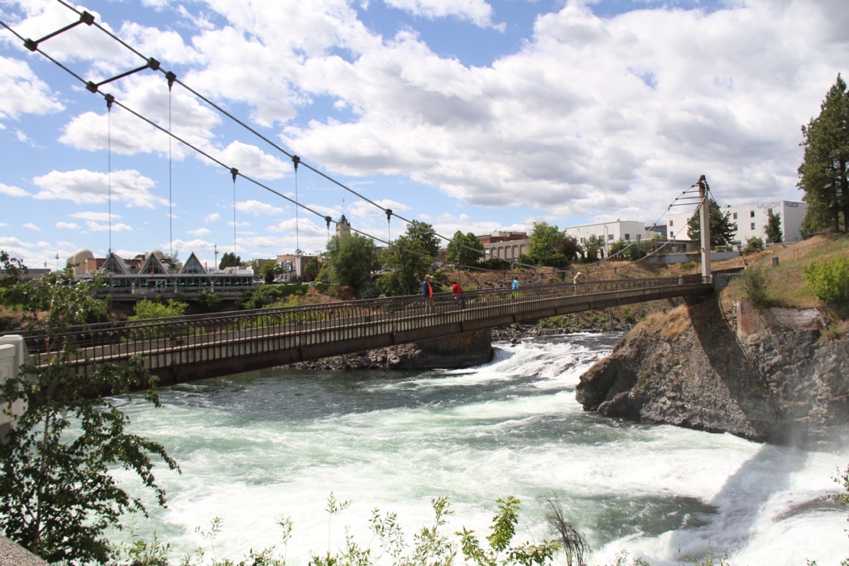
The Riverfront Park area is very peaceful looking
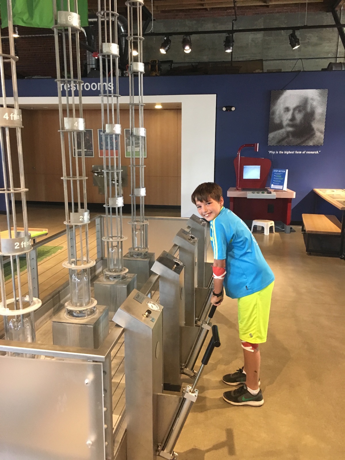
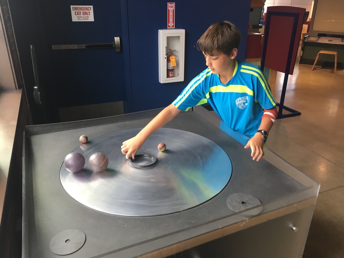
Tom took Ben to the Mobius Children’s Museum Science Center while I walked across the street to the mall.
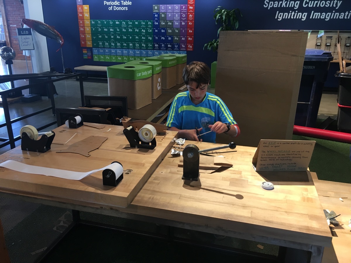
After we got back to the campground and dropped off Tom, I went to Barnes & Noble to get Ben the Hardy Boy book #8 for him to read tomorrow on his flight from Spokane to Birmingham.
Tonight we are staying at the Spokane KOA which is the nicest KOA we’ve ever used. The cost was $52.00, but the range was 39.99 for TENT camping to $85.00 for deluxe sites.
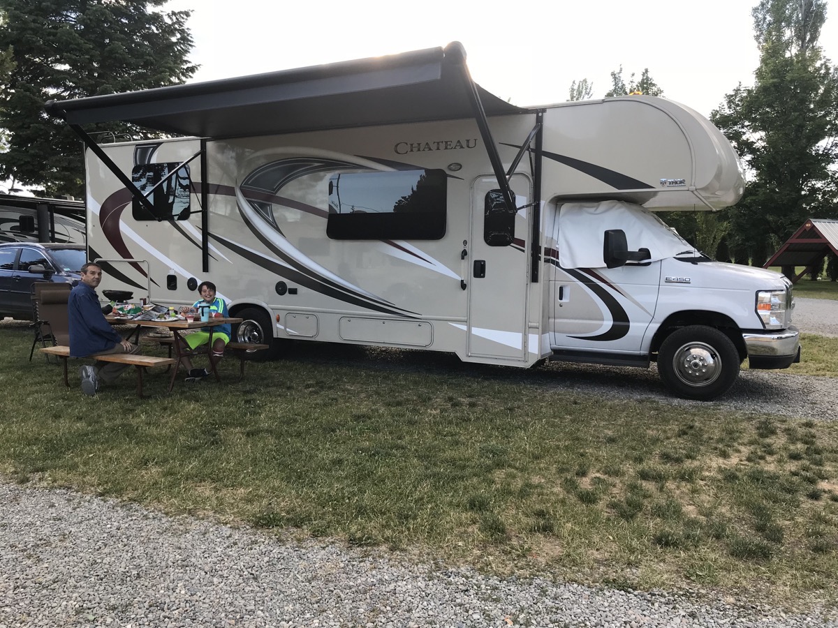
As of today we have travelled 2,441 miles in the motorhome and 785 in the car for a total of 3,226 miles. Total spent on gas so far is $941.79. We've spent $490.49 on campgrounds, for an average cost of $28.85 per night.
-
Day 16 - Route of the Hiawatha -Coeur d'Alene
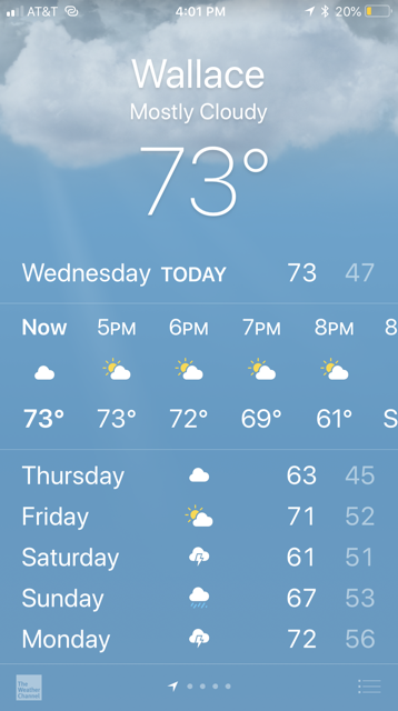
This morning we drove to mile maker 5 on I-90 in Montana to ride the Rails to Trails Route of the Hiawatha. The weather was perfect with the temperature between 68-73 and a beautiful blue sky.
The 17 mile trail is stunningly gorgeous and goes through 10 tunnels and over 7 sky high trestles. The best part is that the trail is ALL DOWNHILL with a gentle 1.6% average grade and a 1,000 foot drop in elevation over its 15 mile path.
The Hiawatha is located in the beautiful Bitterroot Mountains and utilizes the abandoned Milwaukee Railroad grade between the historic old town site of Taft, MT and the North Fork of the St. Joe River near Avery, ID. The St. Paul Pass Tunnel is 1.66 miles in length (and pitch black when you’re riding through it) and burrows through the Bitterroot mountains between Idaho and Montana.
It took us about 2.5 hours to ride the trail as we stopped many times to read the historic signs and take photos. The one MAJOR disappointment for the day is that I took most of the pictures with my camera and just a few with my phone. The memory card in my camera malfunctioned and I lost all those pictures.
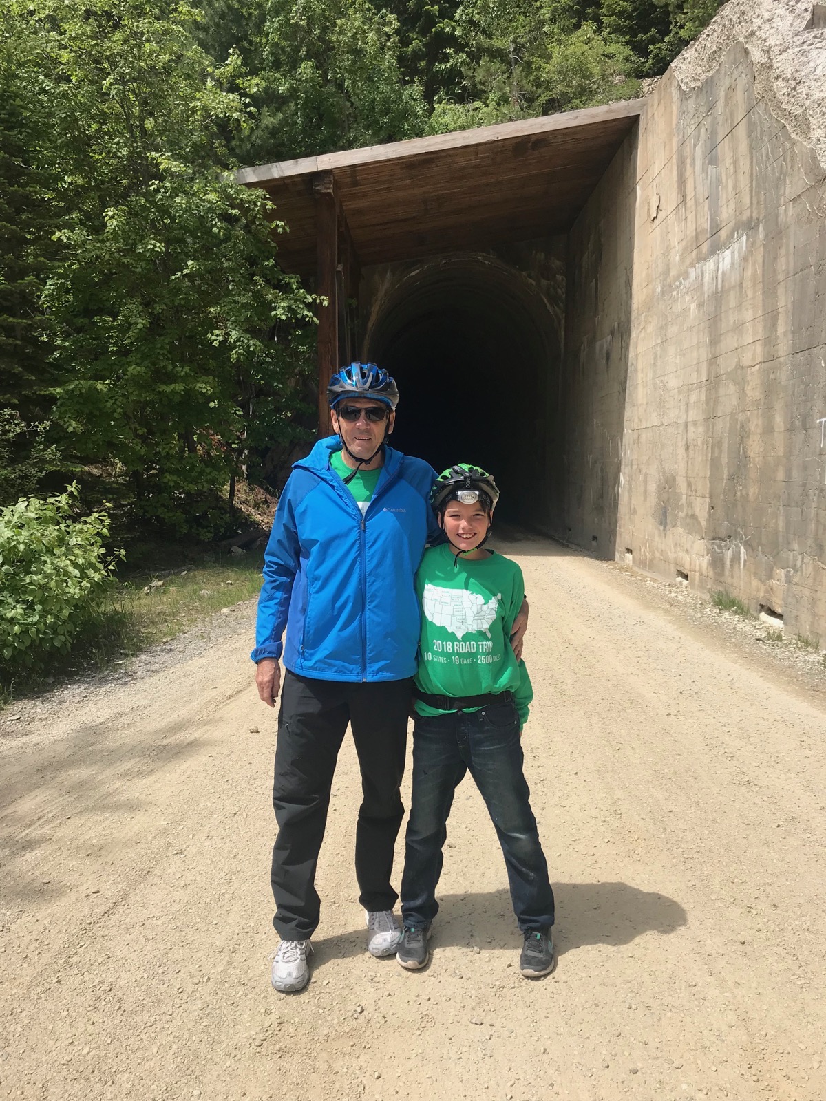
Tom and Ben in front of one of the ten tunnels
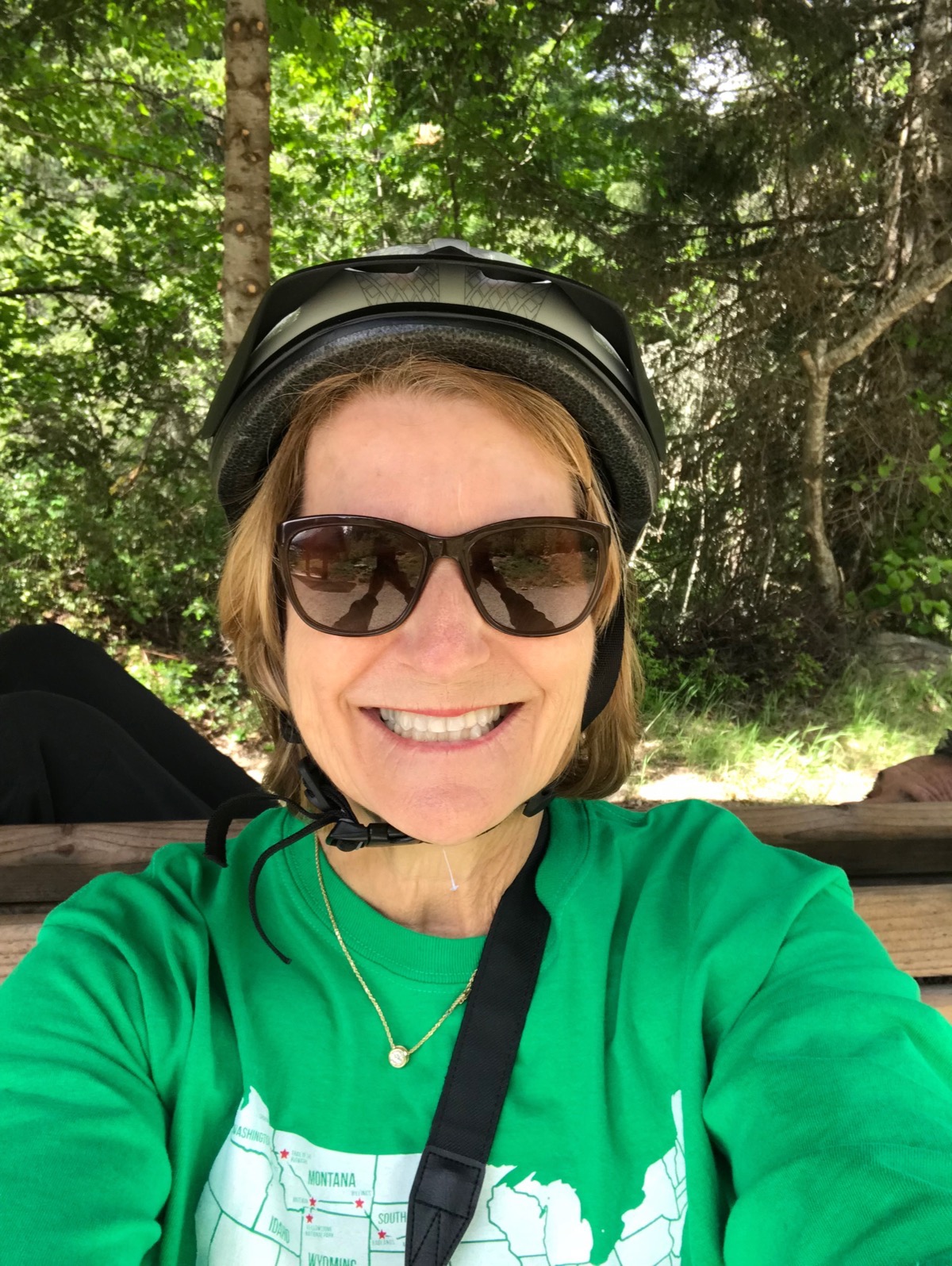
Ready to ride
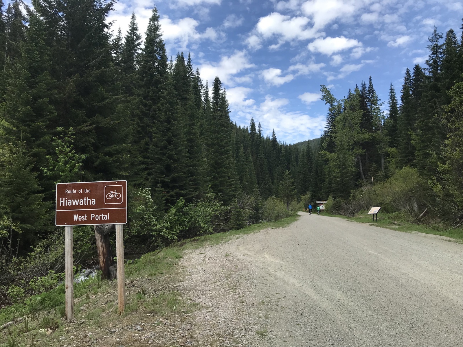
Route of the Hiawatha
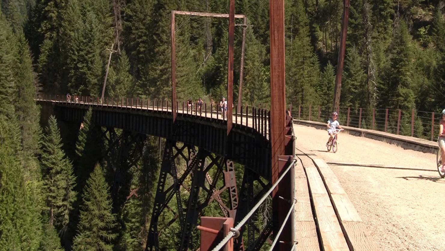
One of the seven tressels
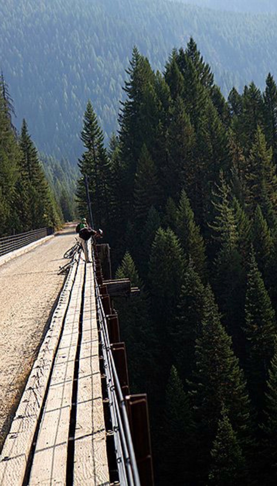
It’s a LONG way down!
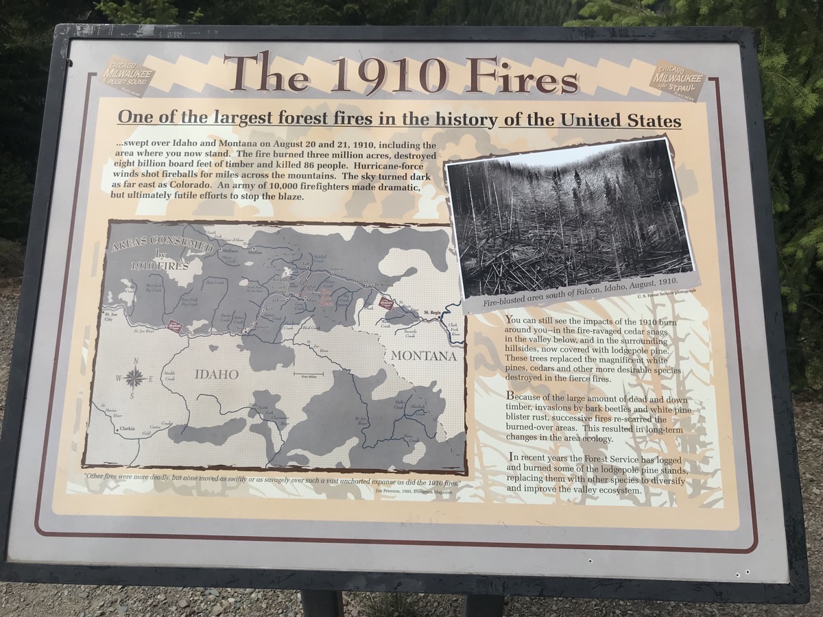
Interesting historical facts to read along the way
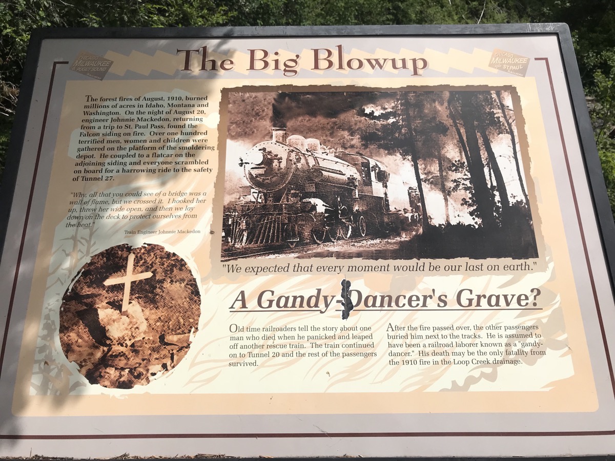 A scary rescue
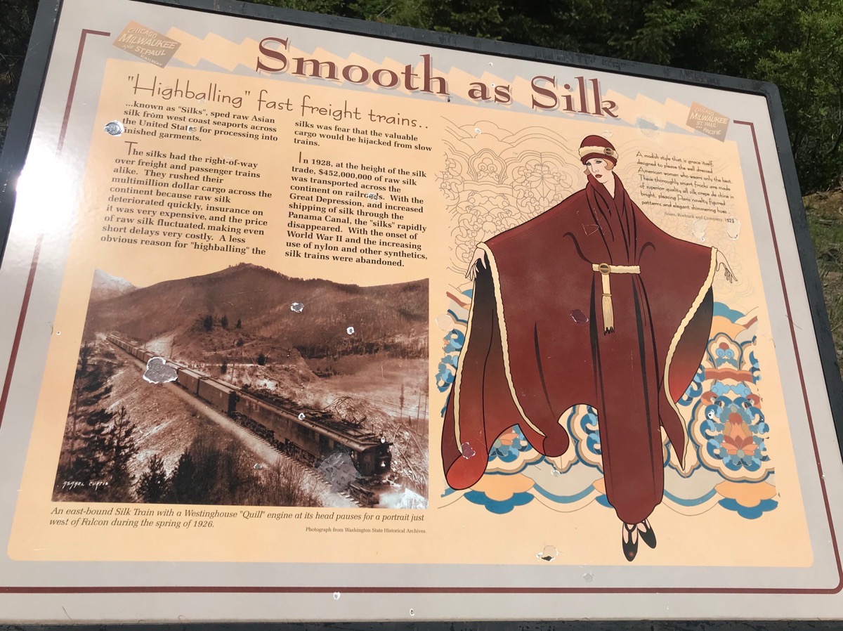
A very interesting sign about the transportation of raw silk across the US! The trains carrying the raw silk had the right of way over all passenger and freight trains.
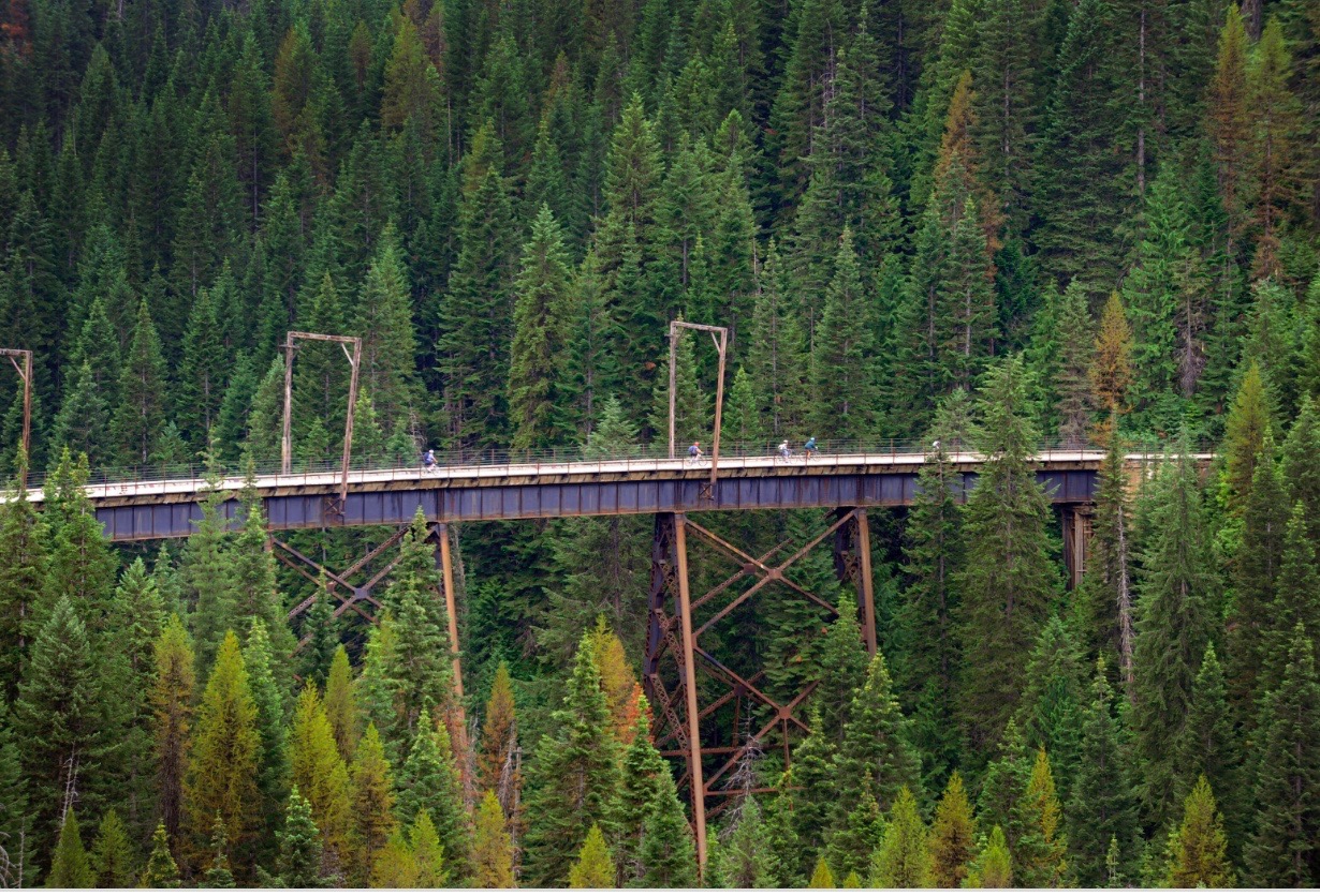 One of the seven tresses we rode across.
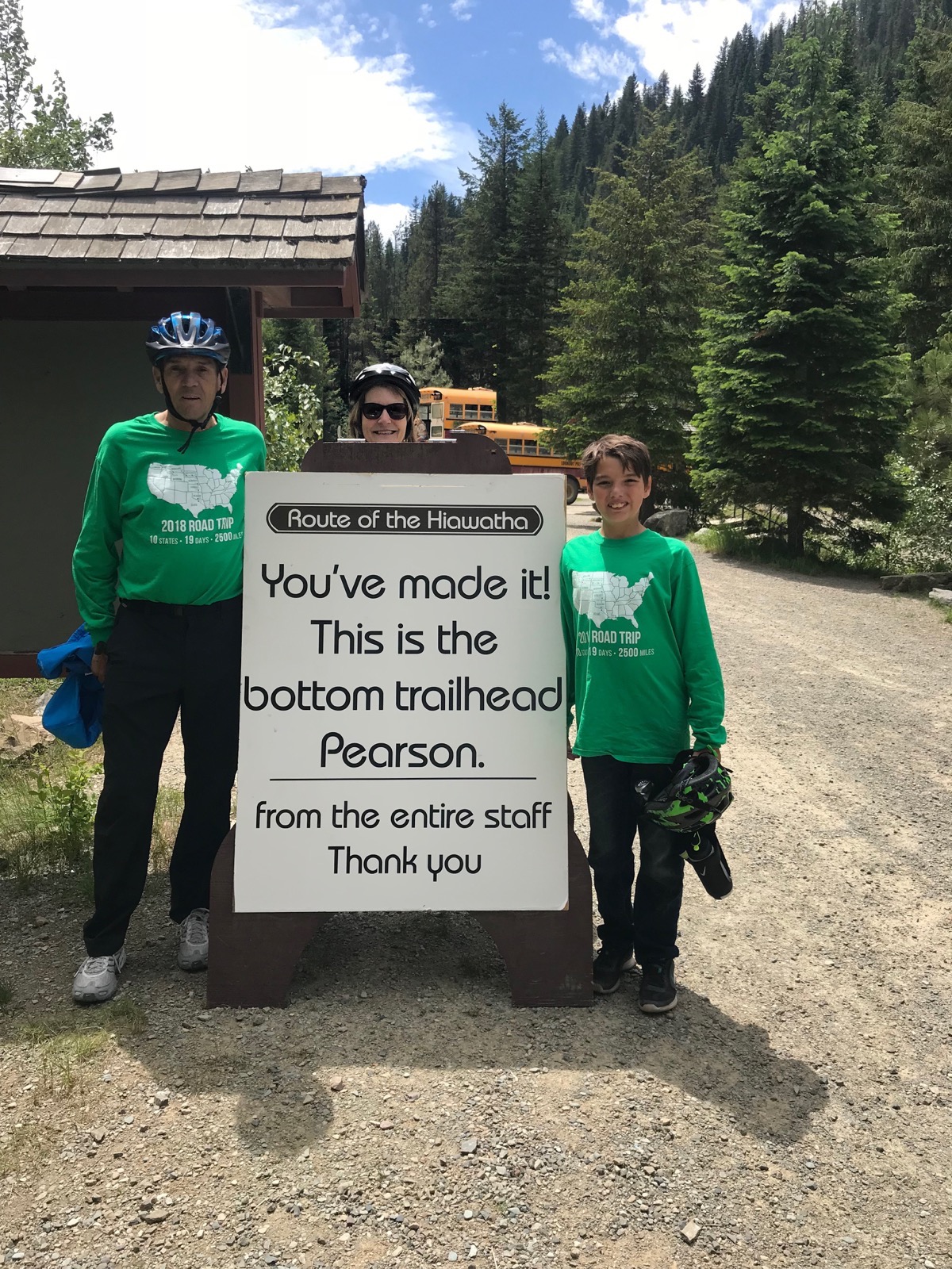
We finished!
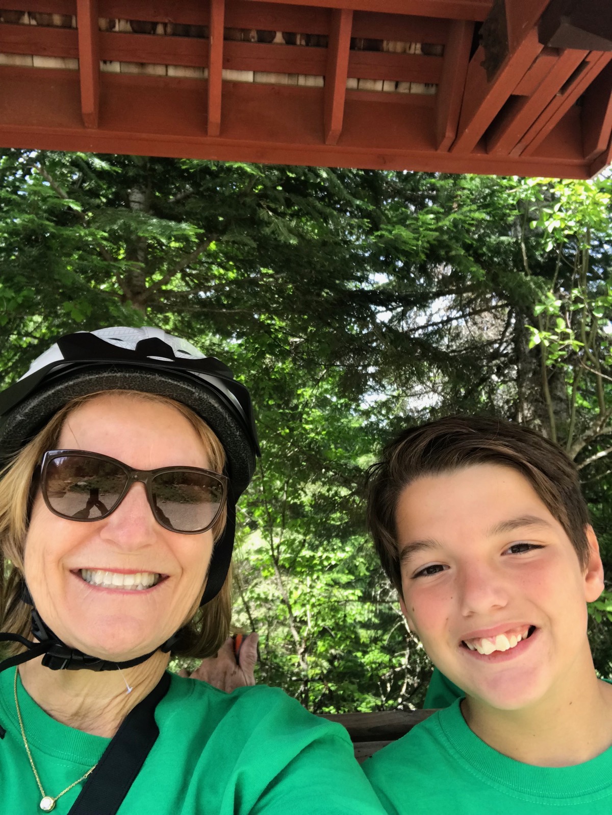
Ben and I waiting for the bus to pick us up and take us back to our car.
After the ride we drove back to Wallace to pick up our motorhome. We filled up the gas tank —UGH!—and drove to Coeur d’Alene where we ate dinner and stopped for the night at Cracker Barrel.
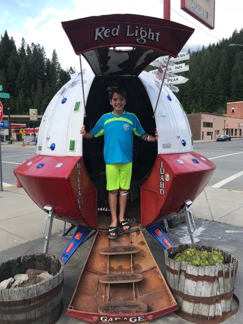
While we were filling up the motorhome with gas, Ben and I walked across the street for this photo app!
-
Day 15 - Gardiner, MT to Wallace, Idaho
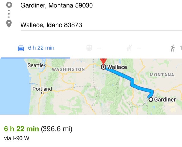
This morning I went to the car wash to finish getting the dirt off the bikes that we acquired yesterday in Yellowstone, and then we hooked up and left at 9:30. The air pressure was low in one of the motorhome tires, so we had to get air once we got to the interstate. Our drive today was 396 miles and although all of it was on I-90, we drove long stretches without seeing anything other than beautiful scenery.
Our only stop was to take a short break near the Montana/Idaho border at the “World Famous” $50,000 Silver Bar that advertised having 50,000 silver dollars.I guess it’s another draw like Wall Drug was in South Dakota , but it doesn’t look like this place has the same sort of business.
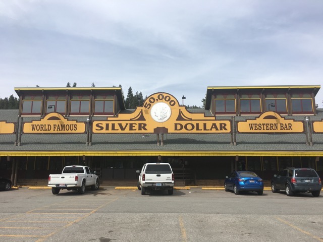
The infamous Silver Dollar Western Bar
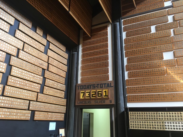
When we got there, the new posted total of silver dollars on the wall was $73,261. With the cost of silver being $16 an ounce (28.35 grams) , an approximate weight of a silver dollar is 26 grams, 90% of which is silver, this place has silver dollars worth $967,510!!!!!! —Seems like they would find something better to do with their money.
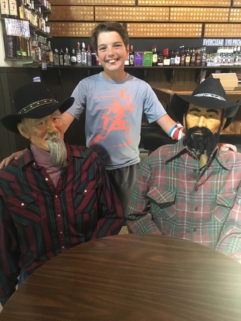
Ben posing with the “men” in the bar!
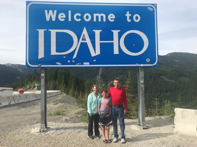
16 miles later we crossed the line into Idaho!
Wallace, Idaho
Wallace was once the principal town of the Coeur d'Alene silver-mining district, which produced more silver than any other mining district in the United States. As of the 2010 census Wallace now has a population of 784.
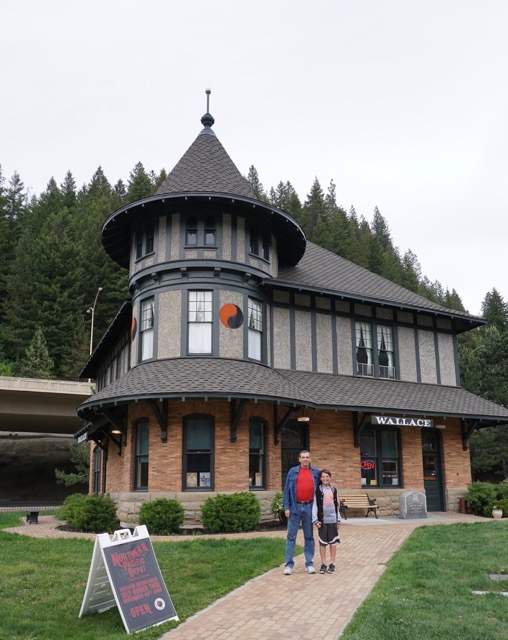
It is a popular destination for tourists who are riding the Trail of the Hiawatha which starts near here—also why we are here.
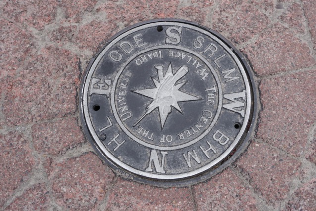
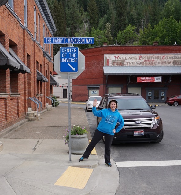
It has also declared itself “The Center of the Universe.” The sewer cover in the middle of the street says it all!
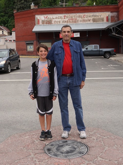
Tom and Ben standing in the middle of the road for a photo opportunity . There is very little traffic in this town.
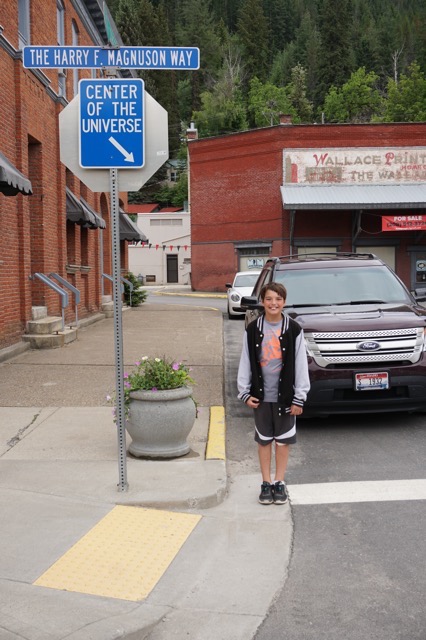
Ben - The Center of the Universe
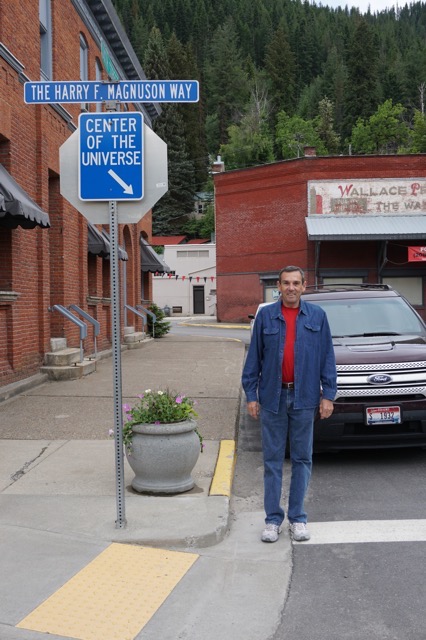
Tom - the Center of the Universe for the second time in two years
We’ve been on the road two weeks now. We’ve driven 2,360 in the motorhome plus 670 miles in the car.
-
Day 14 - Yellowstone National Park-Day 2
We drove into the North Entrance to Yellowstone from Gardiner, MT at 9:45 this morning. The temperature was 48 degrees and it was windy. It was predicted to rain all afternoon starting at noon, but as the day progressed the sky was blue and the weather stayed dry.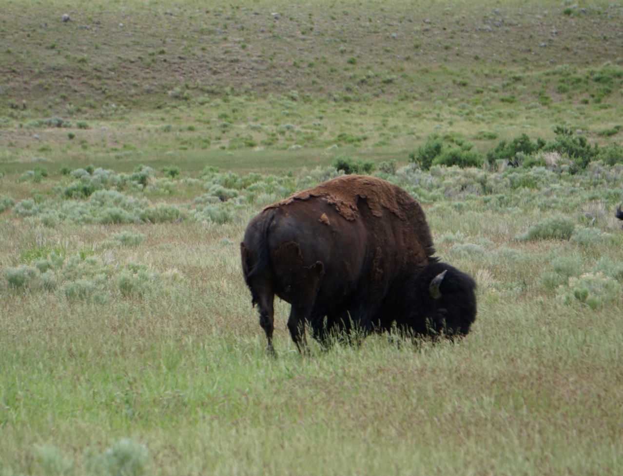
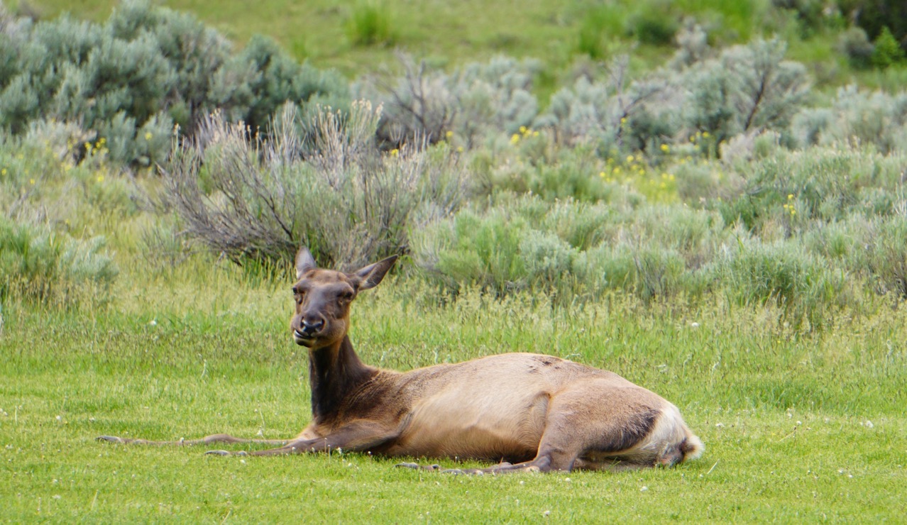
There were bison and elk on the grass across from the Visitor’s Center waiting to greet us.
We drove to the Canyon area of the park and walked the steep, switch back trail down to Lower Falls (and then had to come back up, of course) and then walked the trail to the Upper Falls of the Yellowstone River. The power of the water going over the edge felt like Niagara Falls!
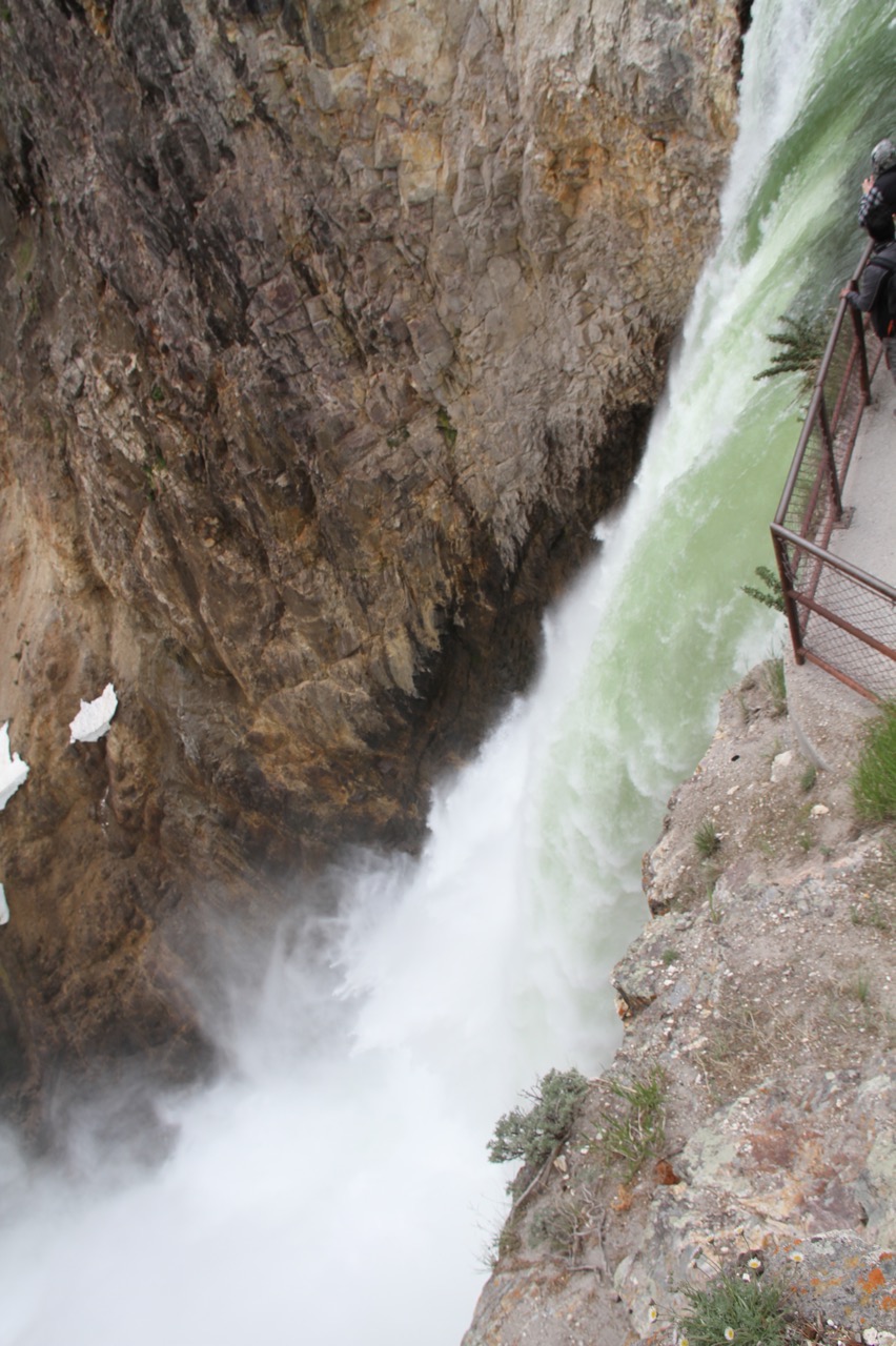
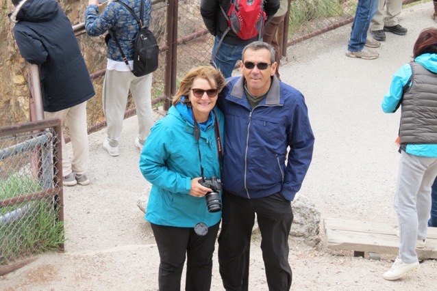 Ben took this picture from a higher on the trail
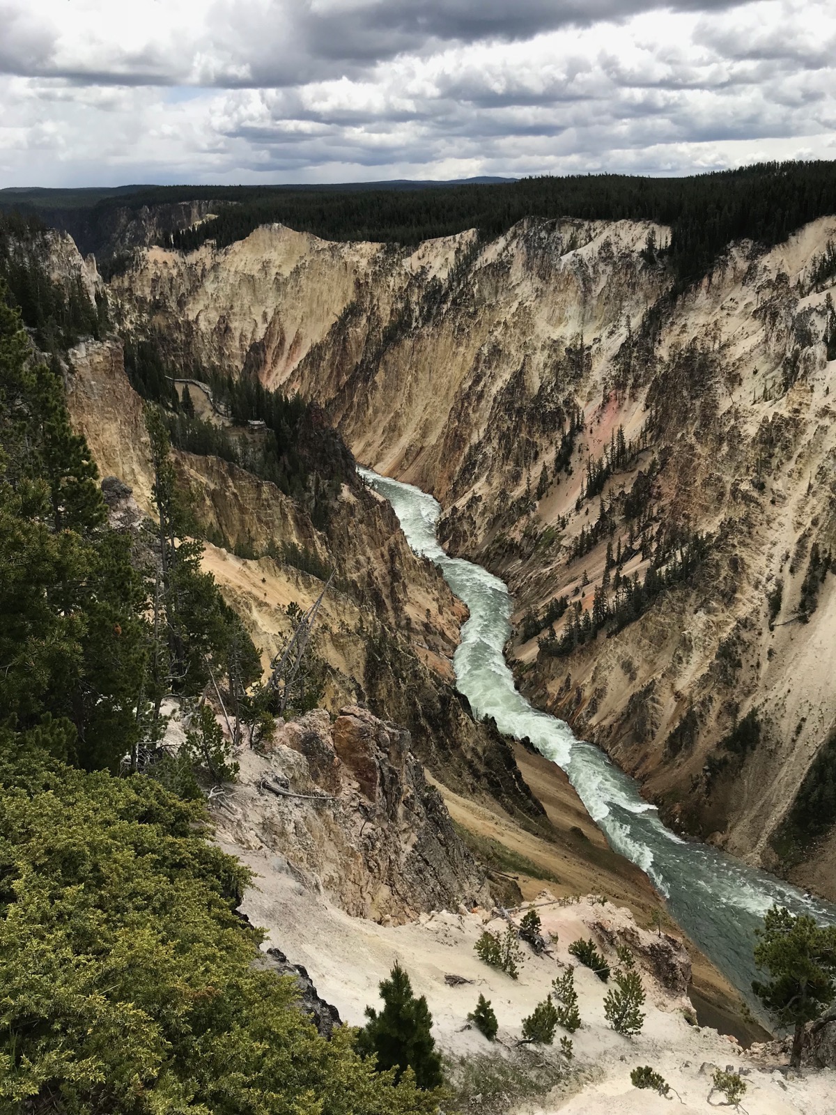
We drove 160 miles within the park during the day, driving from the north entrance to Norris and then across to the Canyon area.
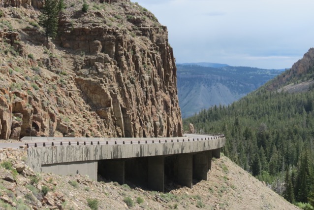
We then drove the lower loop and stopped to watch Old Faithful and walk through the Upper Geyser Basin.
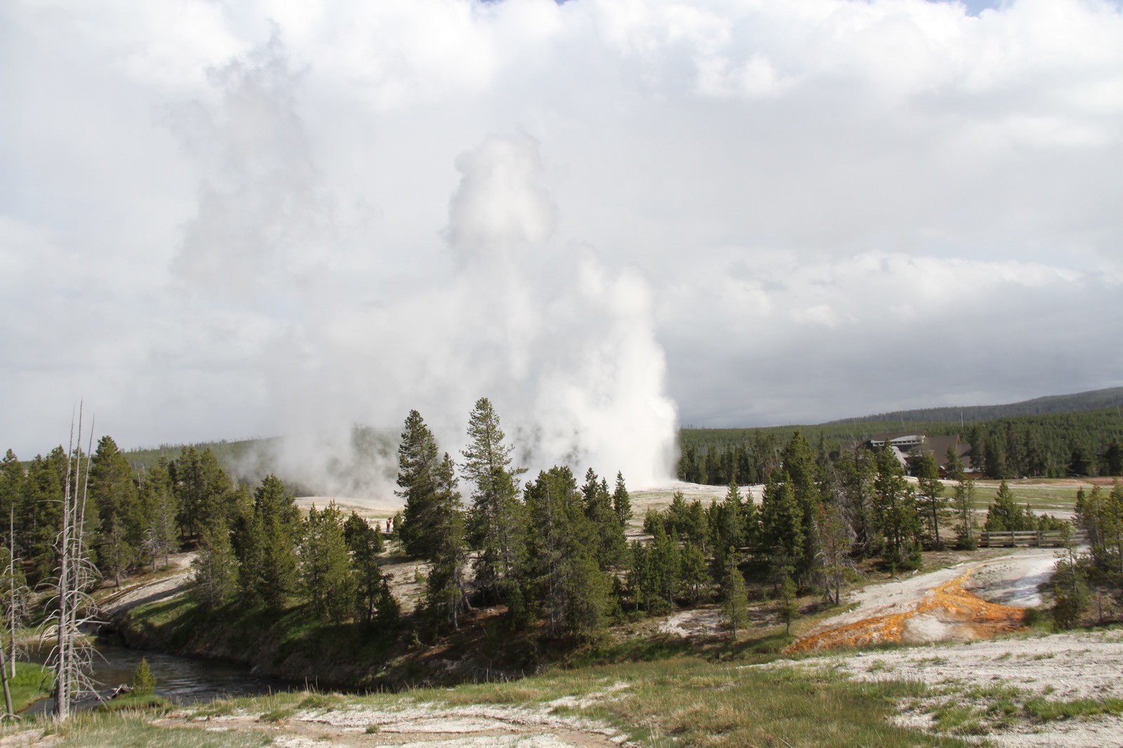
Old Faithful
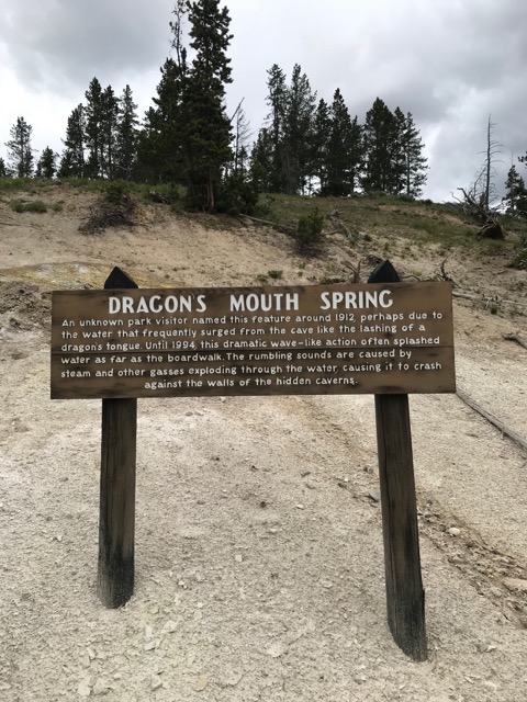
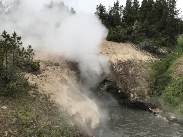
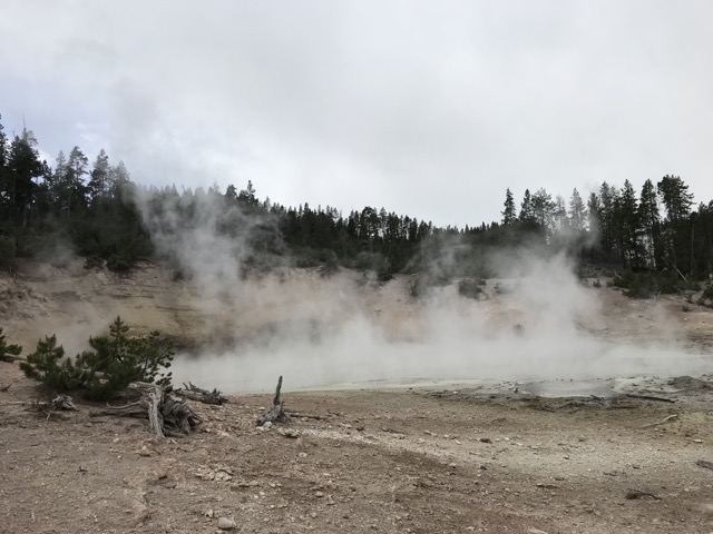
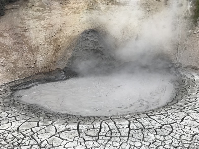 Mud Volcano
We stopped for a 2 mile hike at the Midway Geyser Basin where we saw my favorite site, the Grand Prismatic Spring.
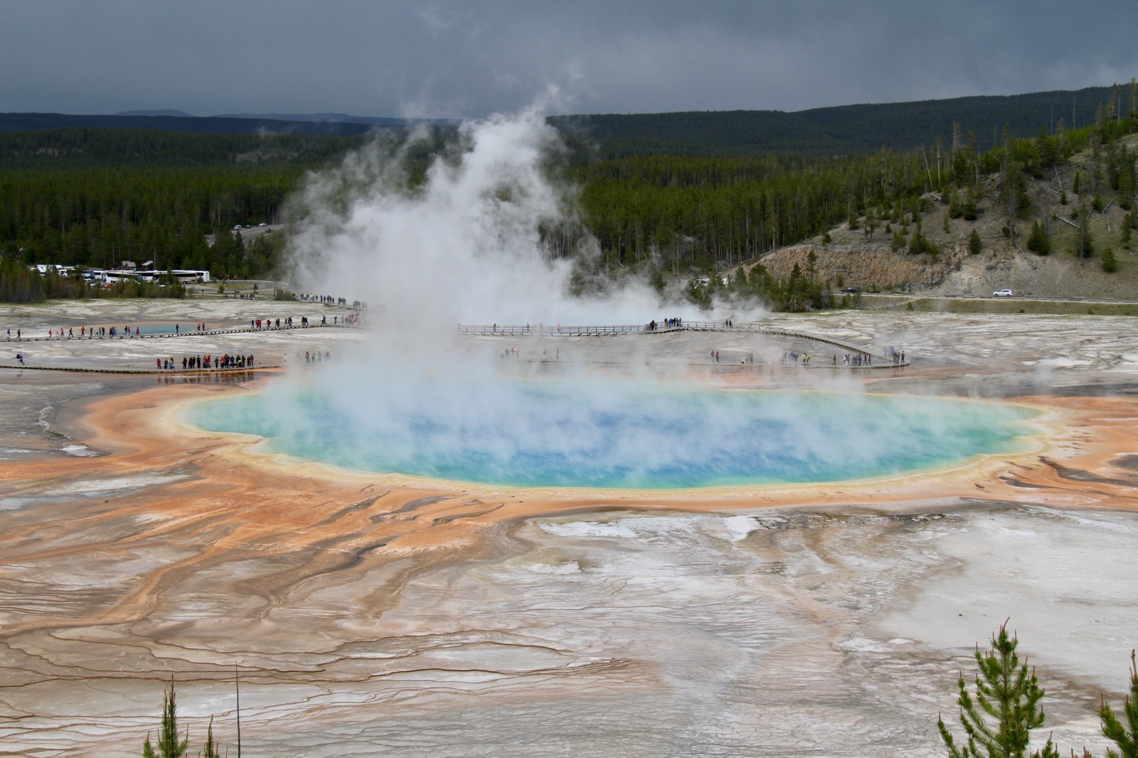
After leaving this spot we had an approximate 75 mile drive back to our campground. There was road construction in the park on the way out, so we drove 5 miles on wet mud. By the time we got to the campground, the car and the bicycles were caked with mud. I took the car to the carwash while Tom heated the gumbo I made last night and cooked the rice. We didn’t eat until 8:30
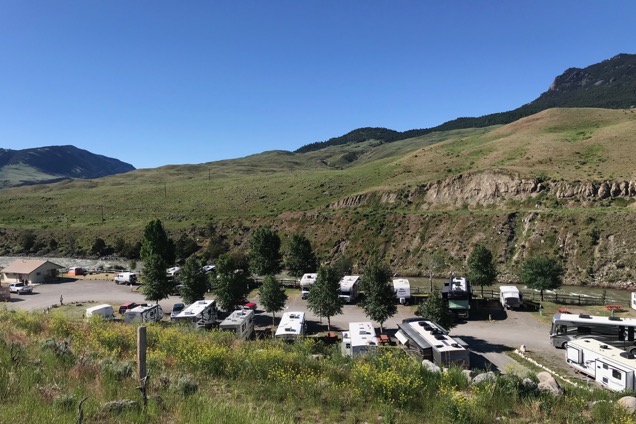
We camped at the Yellowstone RV Park and Campground - our home for the night-along the Yellowstone River.
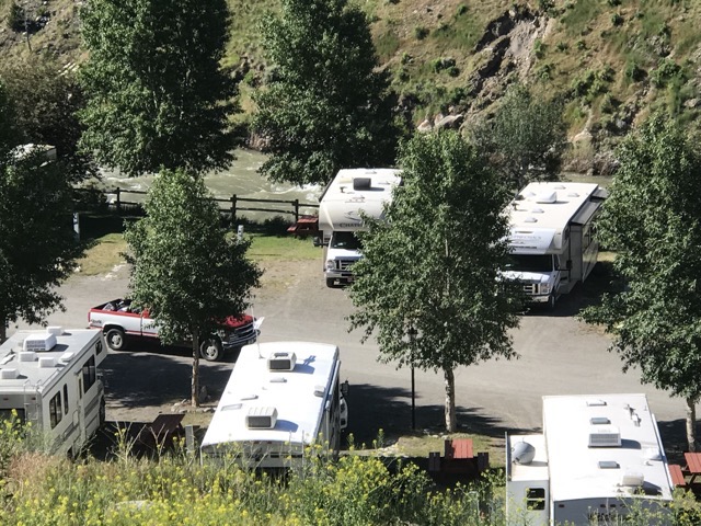
And there we are in the middle of the picture by the river.
-
Day 13 - Billings to Gardiner, MT & Yellowstone
We left the campground in Billings around 9:45 this morning. According to our gauge that reads the tire pressure in each of the 10 tires, our rear outside driver’s side tire needed about 25 more pounds of air. The first station’s air pump didn’t work correctly, so we rode about 20 miles before we were able to correct the air pressure.
From Billings to Gardiner is 171 miles.
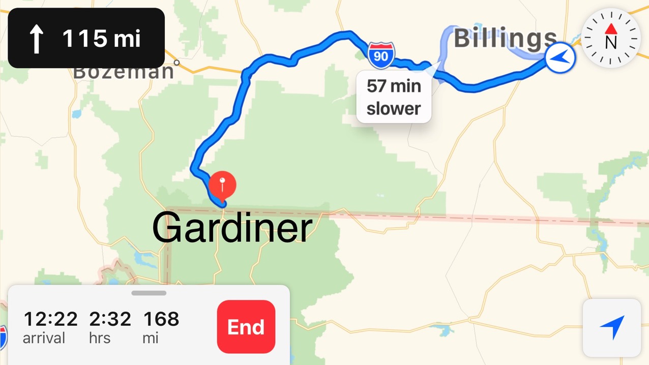
Our route to Gardiner, Mt.
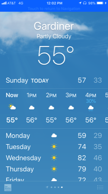
The temperature is chilly and looks like it will be COLD tonight (and colder tomorrow night)
We arrived at The Yellowstone RV Park (which is actually in Gardiner, not in Yellowstone) around 3:00, plugged in and headed for Yellowstone National Park.
Yellowstone National Park
We drove into the park and stopped for our obligatory photos, walked to the top of Mammoth Springs, and then went back to the welcome center for Ben to listen to the Ranger talk about the animals within the park and the safety precautions.
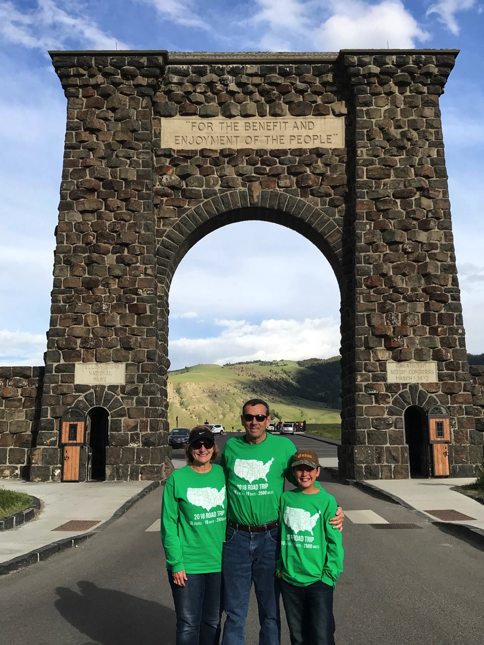
This is in front of the North Entrance to Yellowstone, Gardiner, MT
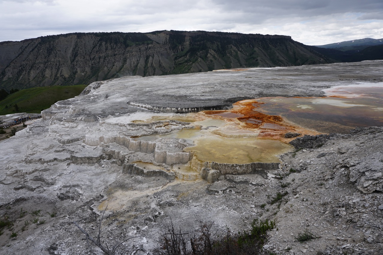
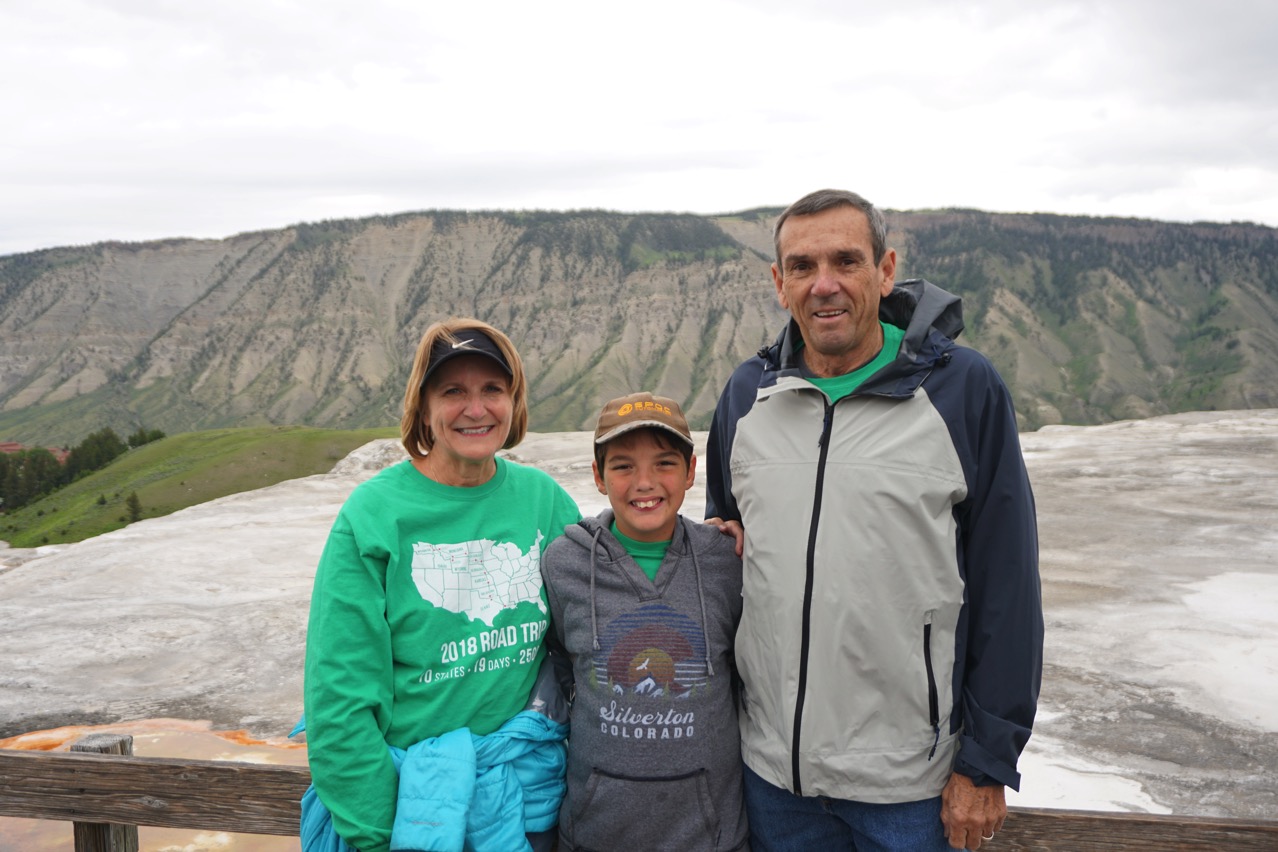
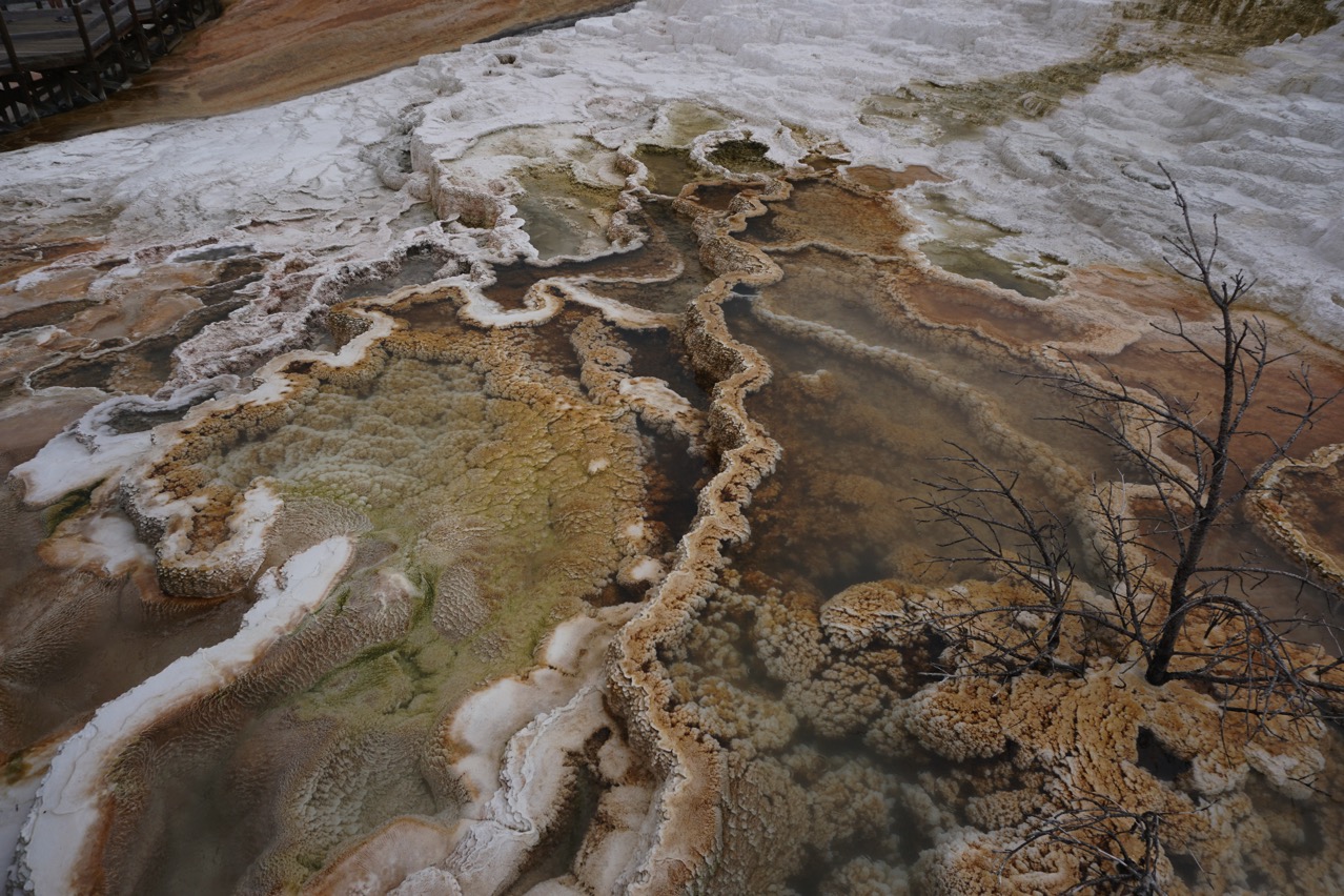
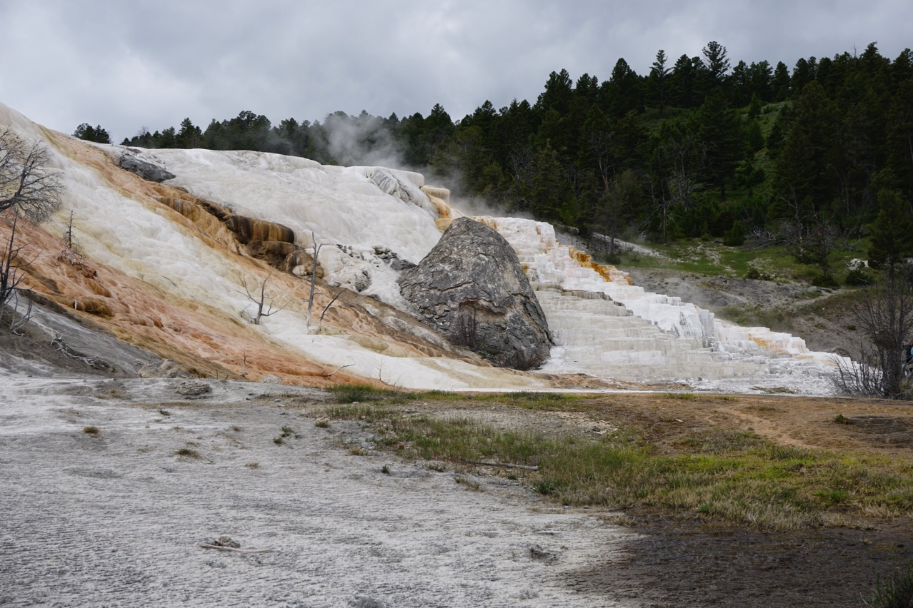
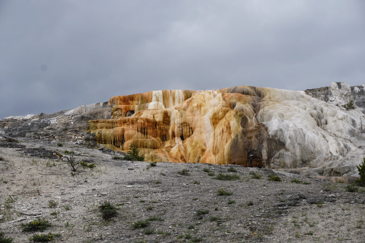
Different pictures from Mammoth Springs that I took as we walked along the trail
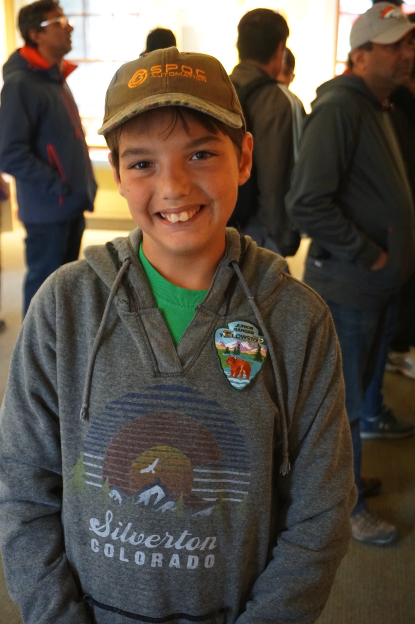
Ben completed the Yellowstone Junior Ranger Program and got his badge
We drove to the Roosevelt Tower Falls. Along the way we saw a black bear and her three cubs, sheep on the side of a mountain, lots of bison, elk, a fox and a horned rim owl.
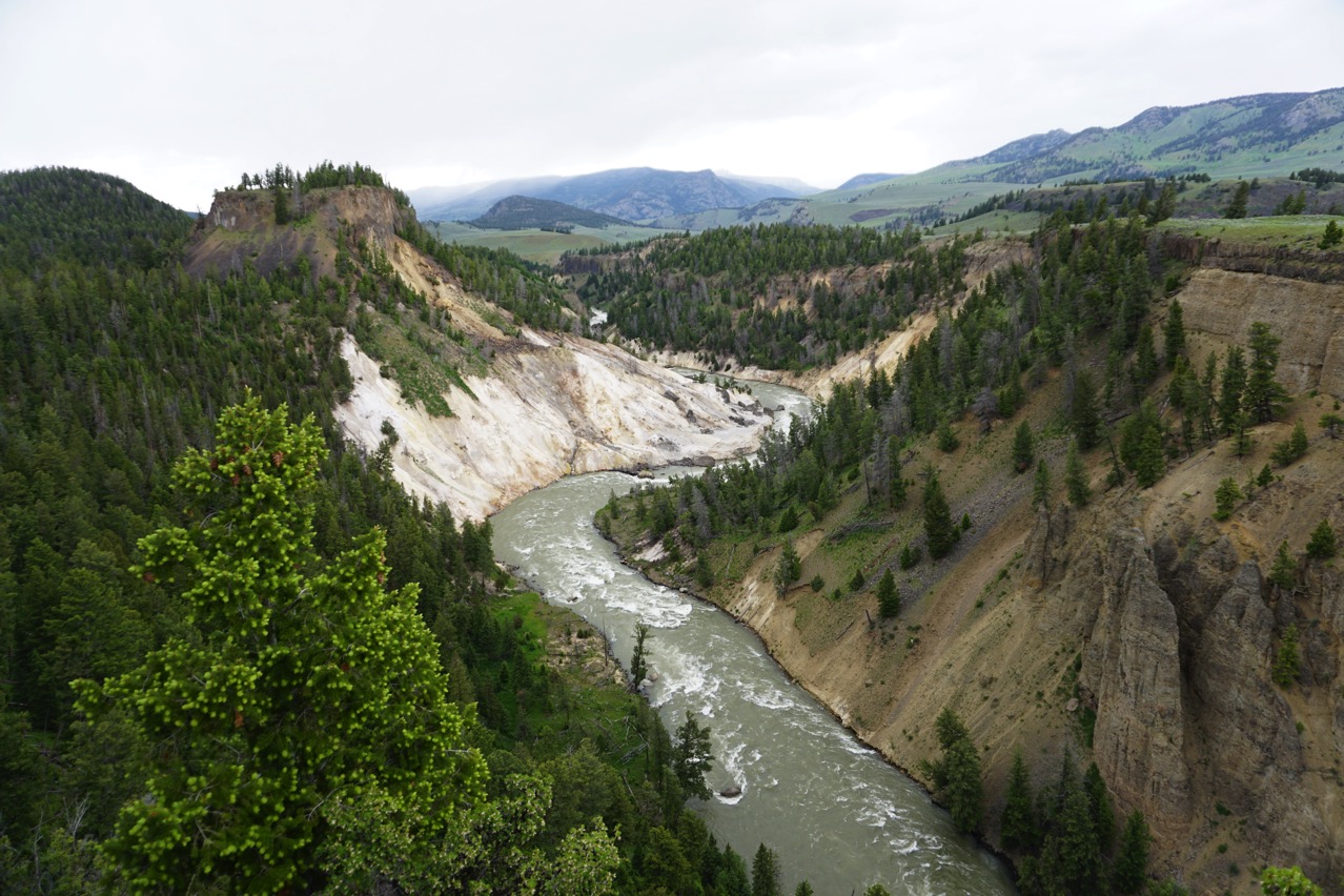
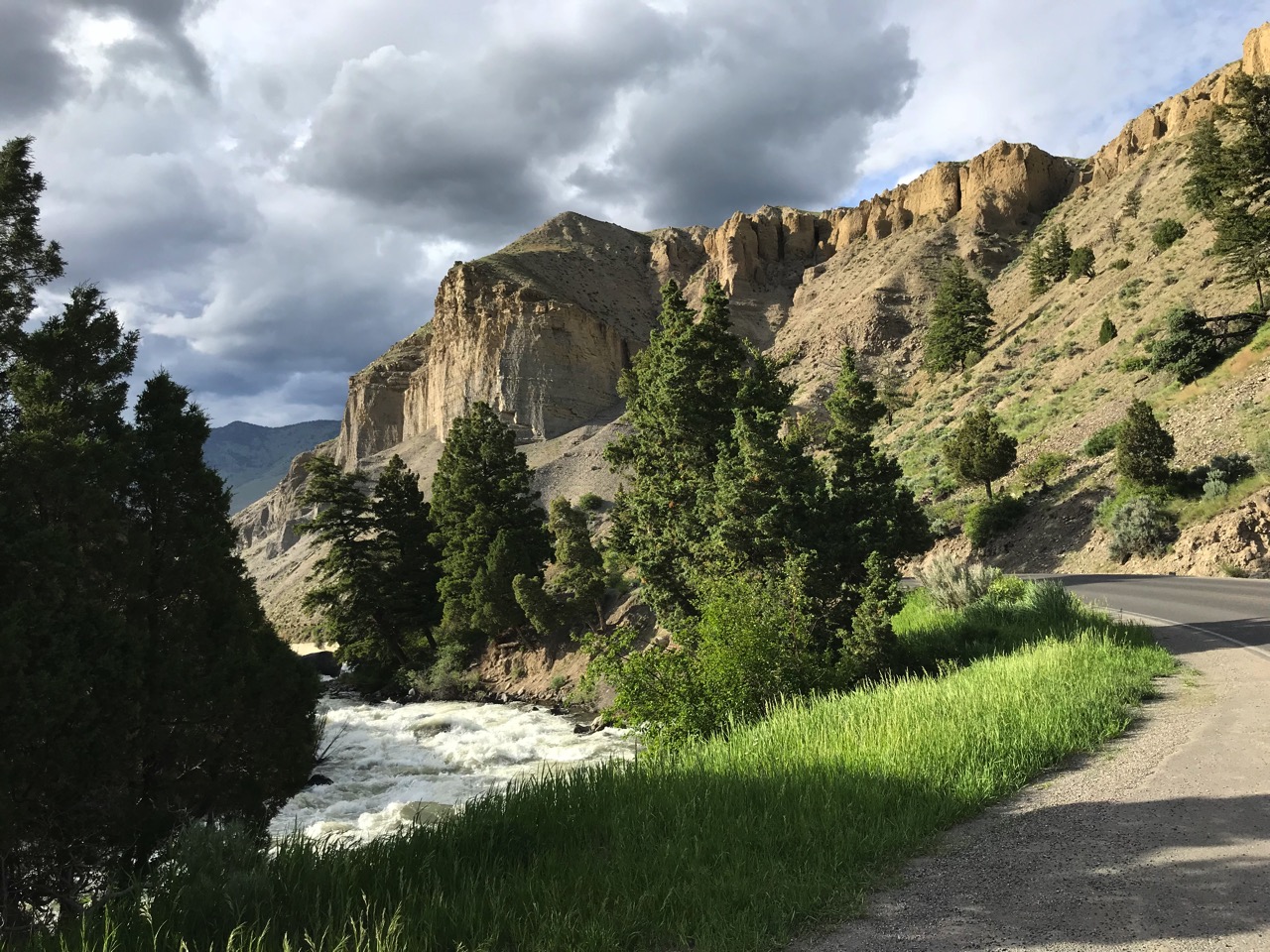
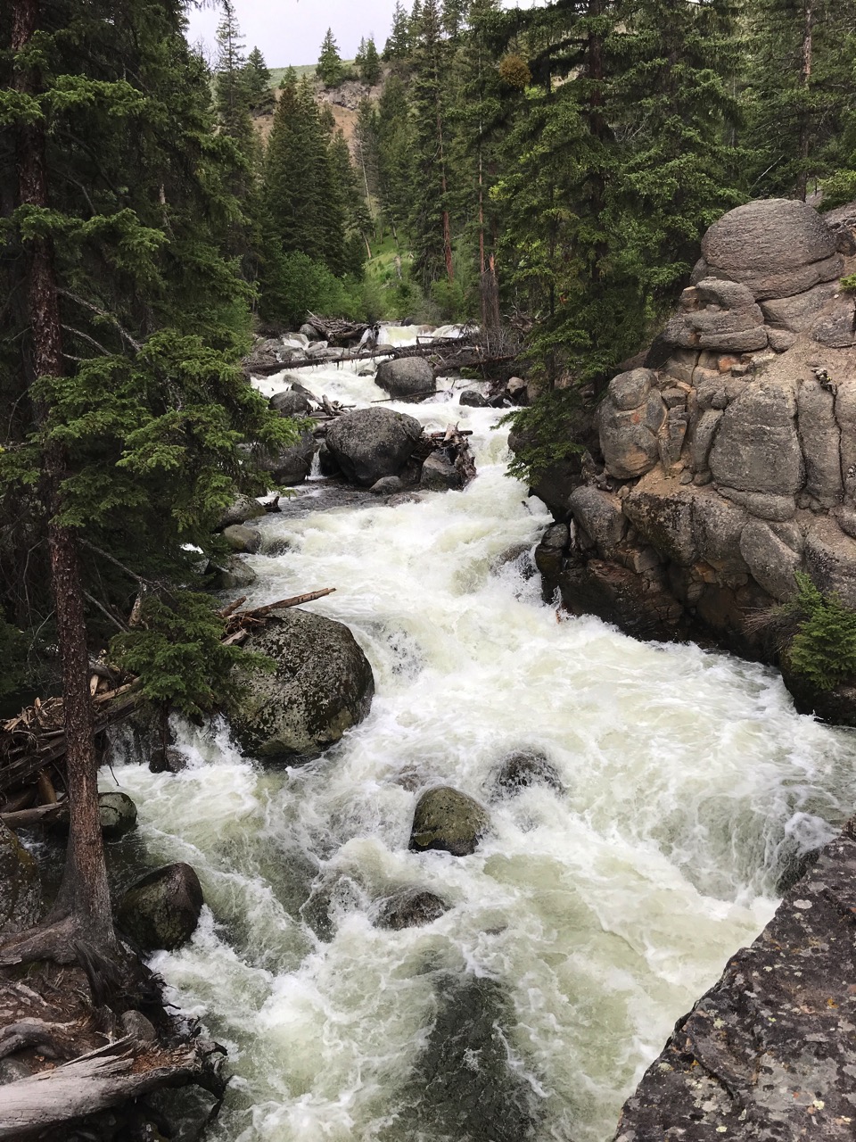 Yellowstone River goes through the park.
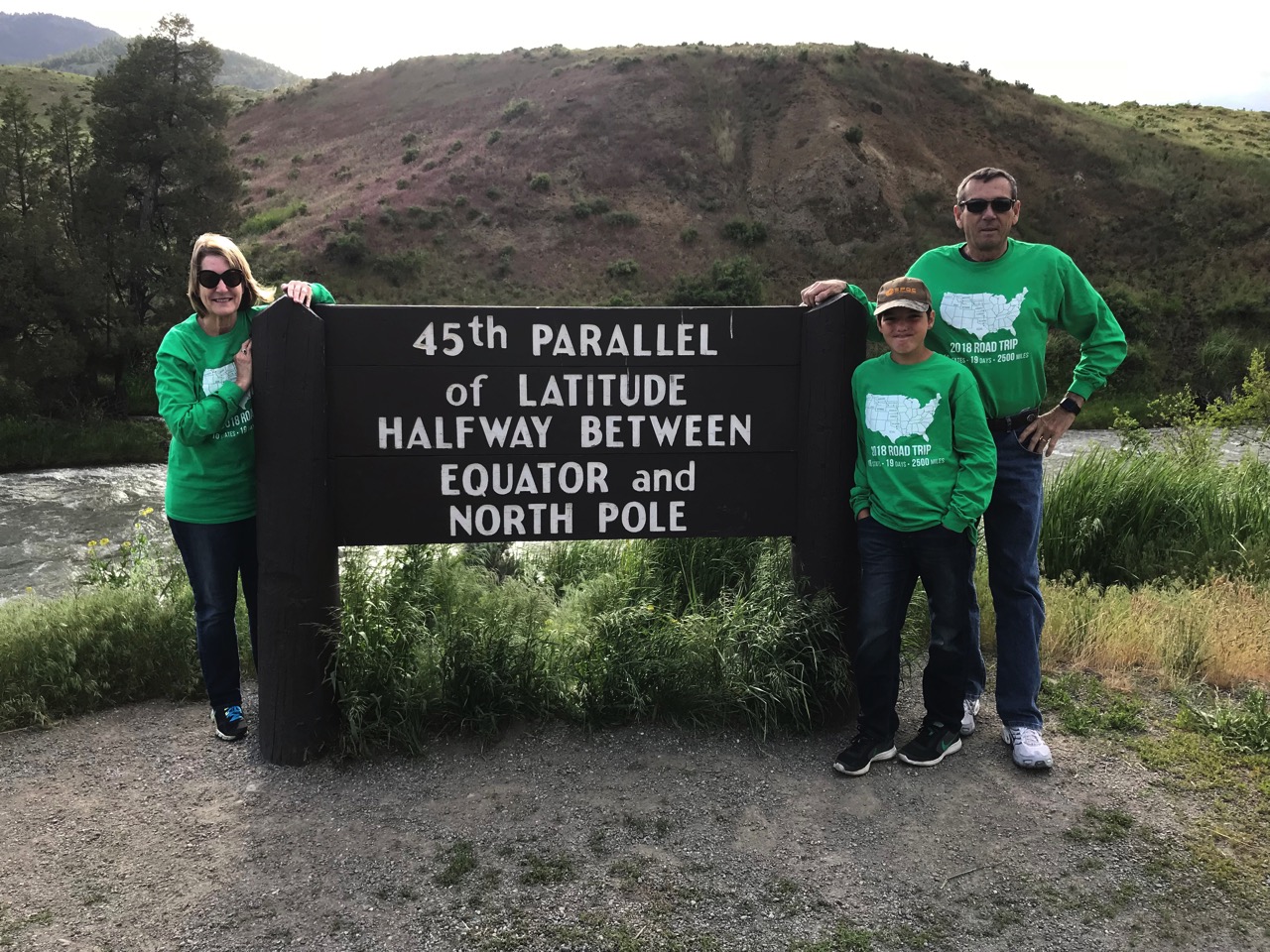
-
Day 12 - Rapid City to Billings, MT
We left Hart Ranch around 8:00am to continue our westward journey. We stopped at a truck stop about 15 miles away to get air in the motorhome tires and then we were really on our way. The road today was a two lane rural one much of the way which is such a refreshing way to travel. Not much traffic anywhere around. Beautiful day with temperatures in the low 70s.
We were in and out of Wyoming today on the way to Montana—less than 10 minutes, but we’ll be back in Wyoming on Monday.
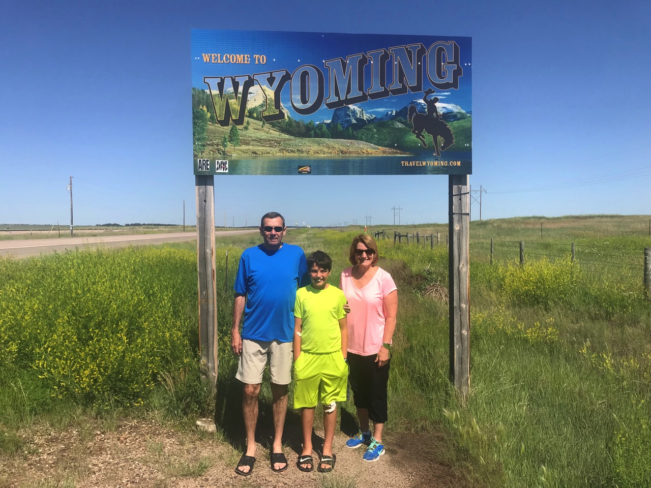
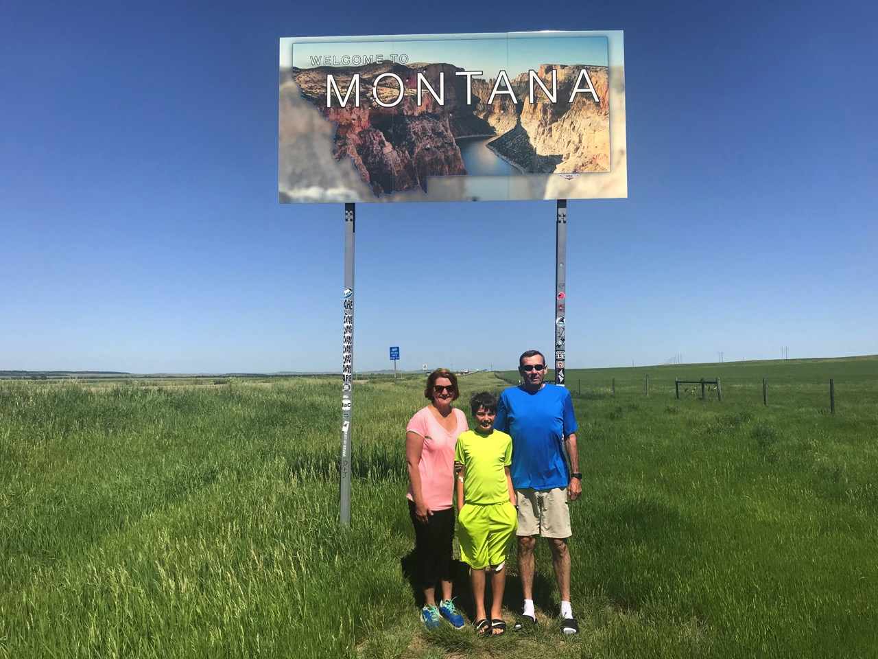
We arrived at the Yellowstone Campground in Billings around 3:30 and relaxes for a couple of hours before leaving to join John and Holly Gott at Jake’s Steakhouse in downtown Billings. They treated us to an amazing dinner!! The steaks were some of the best we’ve even eaten. After a very enjoyable dinner we drove over to their house and visited for a few hours before heading back to the campground.
-
Day 11 - Hart Ranch and Elsworth Air Force Base
This morning Tom and I rode our bicycles around Hart Ranch and took pictures while Ben played Putt Putt and rode bicycles with his new friends.
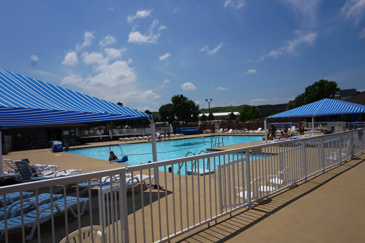
Swimming pool has a volleyball net in it and three hot tubs beside it.
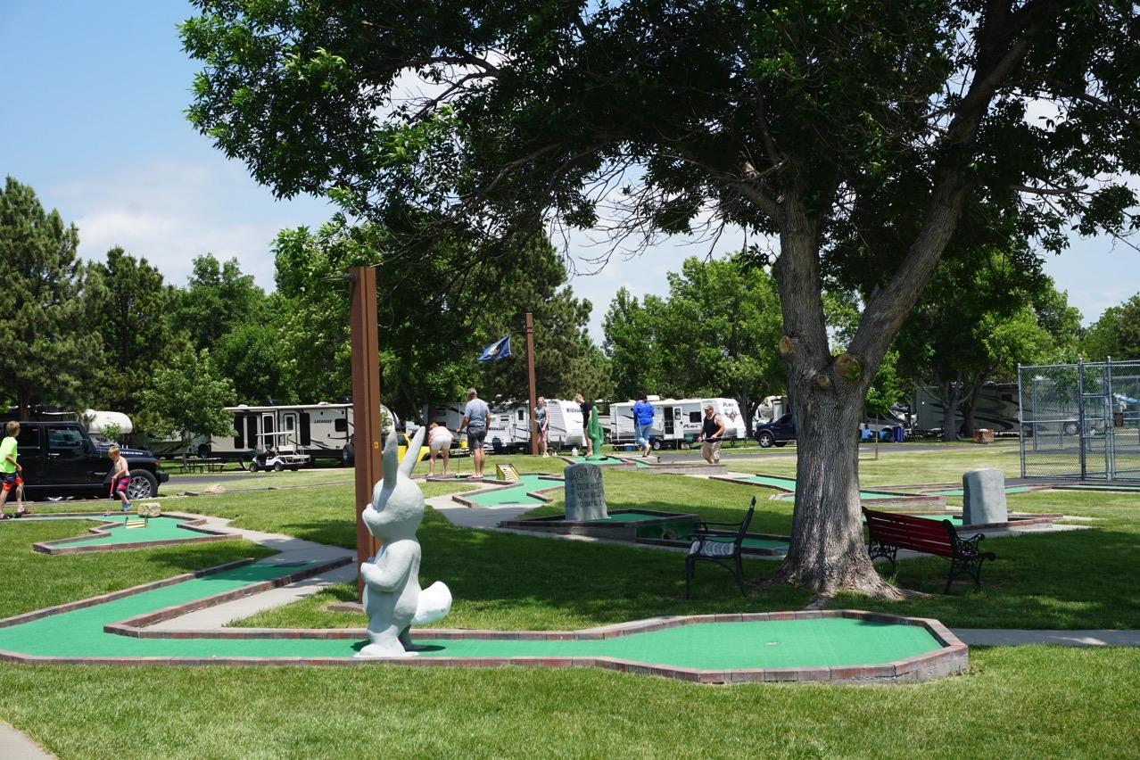
18 hole Putt Putt course
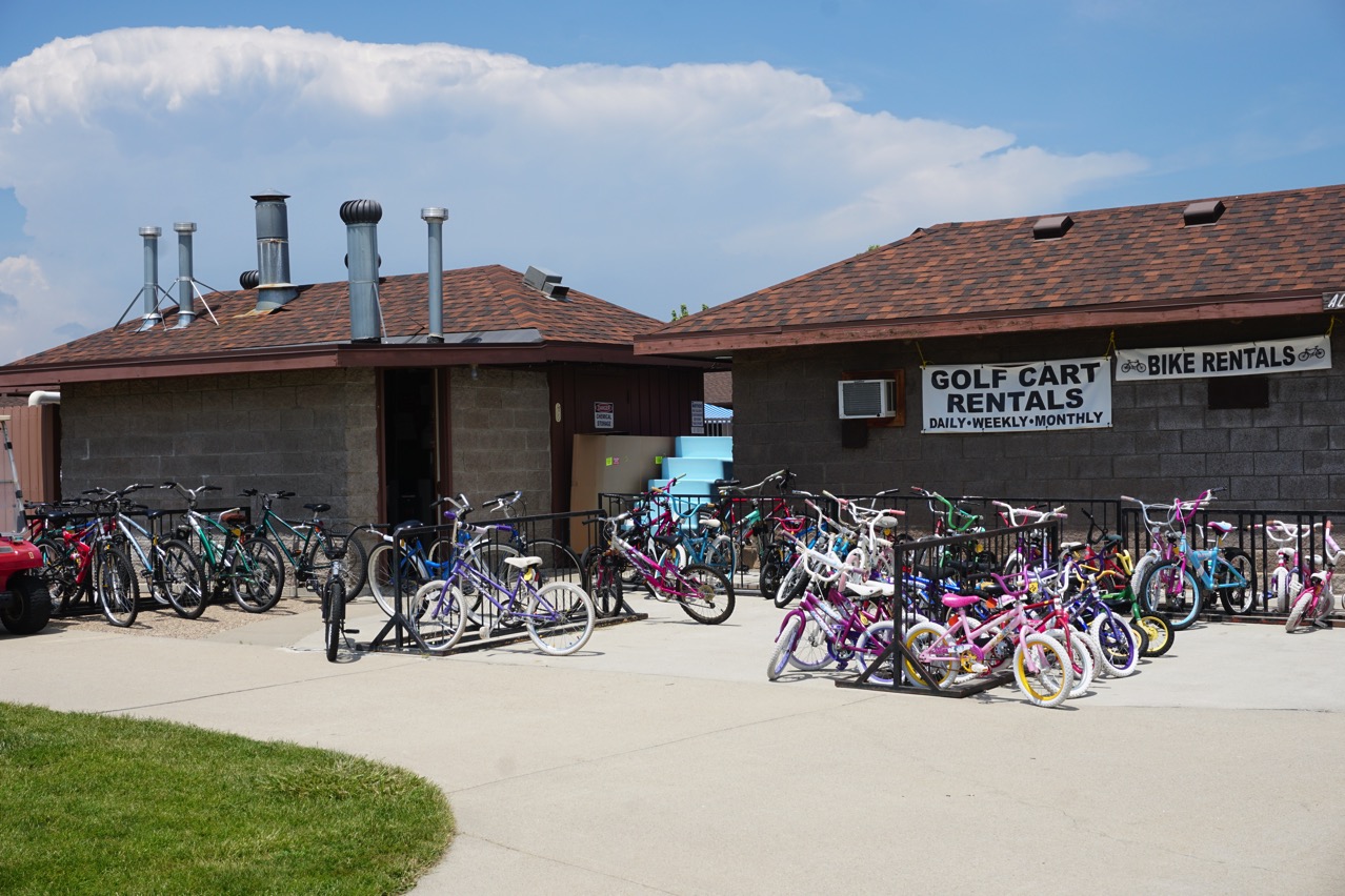
If you don’t have a bike of your own, you can rent about anything (and they said most of the inventory isn’t out yet)
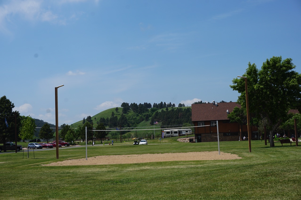
Volleyball anyone?
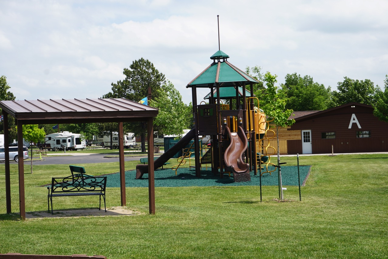
Playset for the little ones
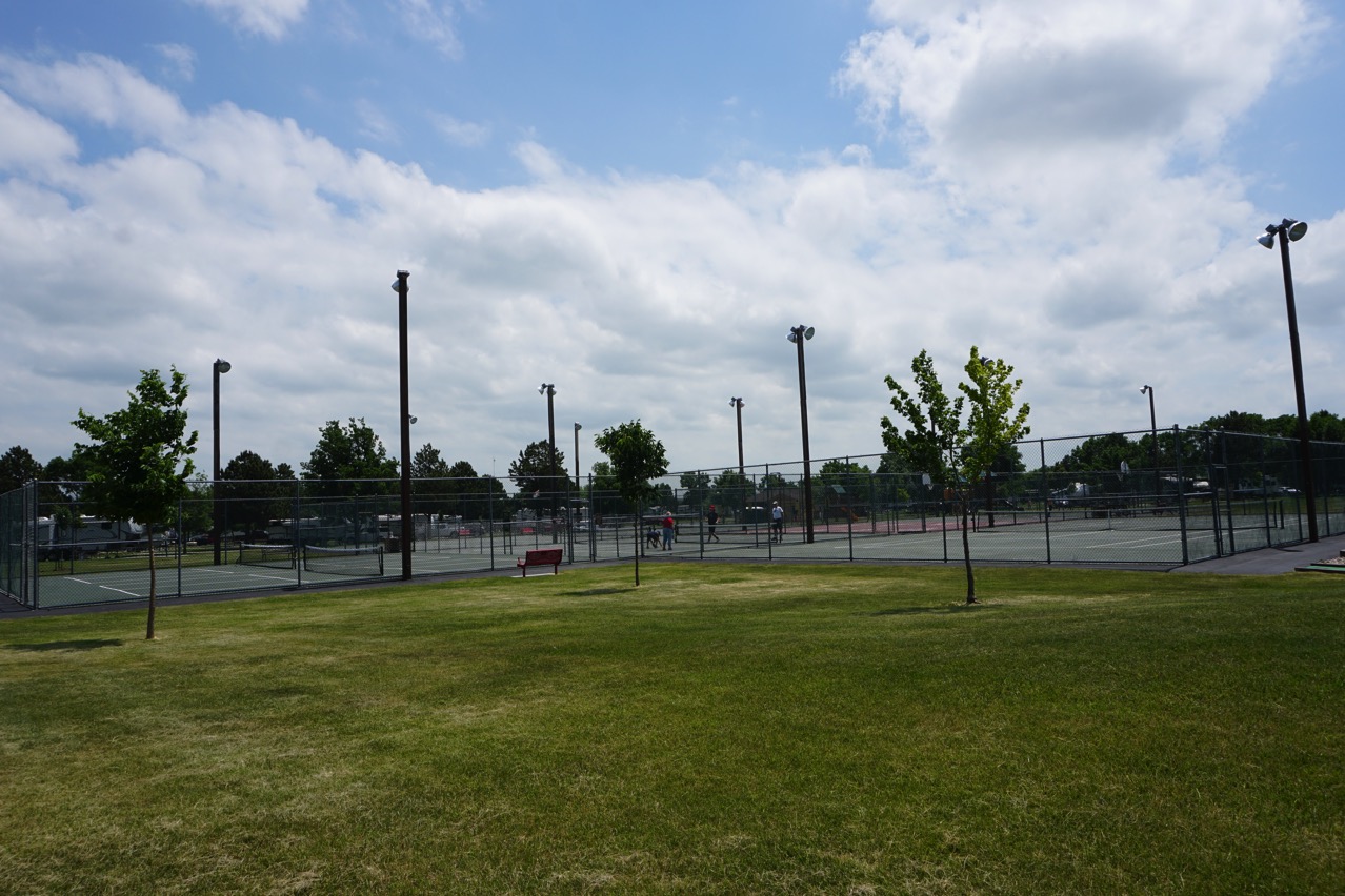
Pickle ball, tennis courts and basketball courts
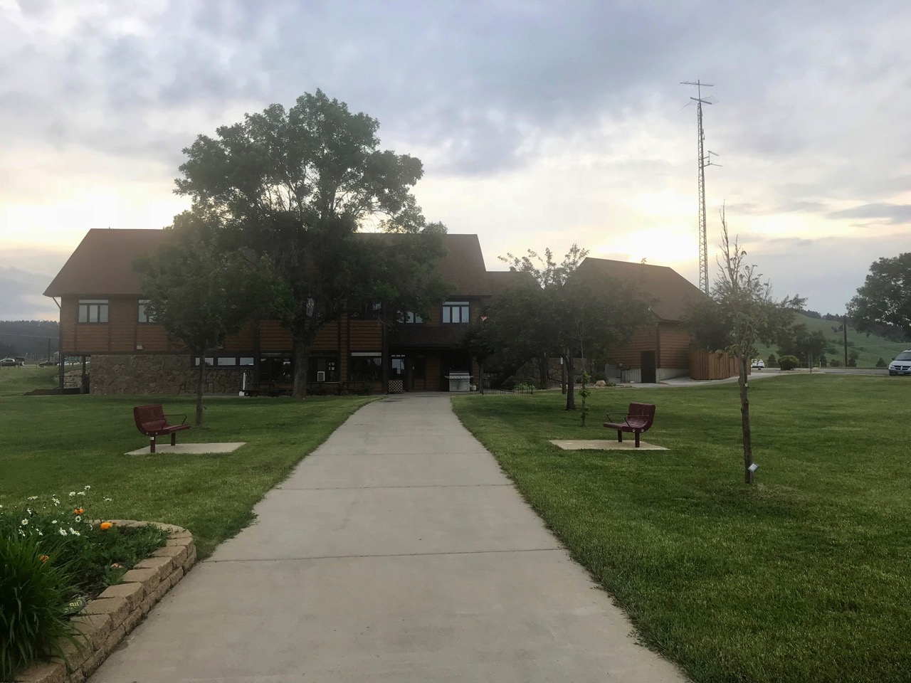
Club House with pool tables, ping pong tables, arts and crafts, big screen TVs and other activities for rainy days
Elsworth Air Force Base
After lunch we drove to Elsworth Air Force Base to see the museum and tour the base. Ben and Tom were able to take the tour, but I didn’t have my driver’s license with me, so I was not allowed to go. (note to myself: don’t leave the RV without my license).
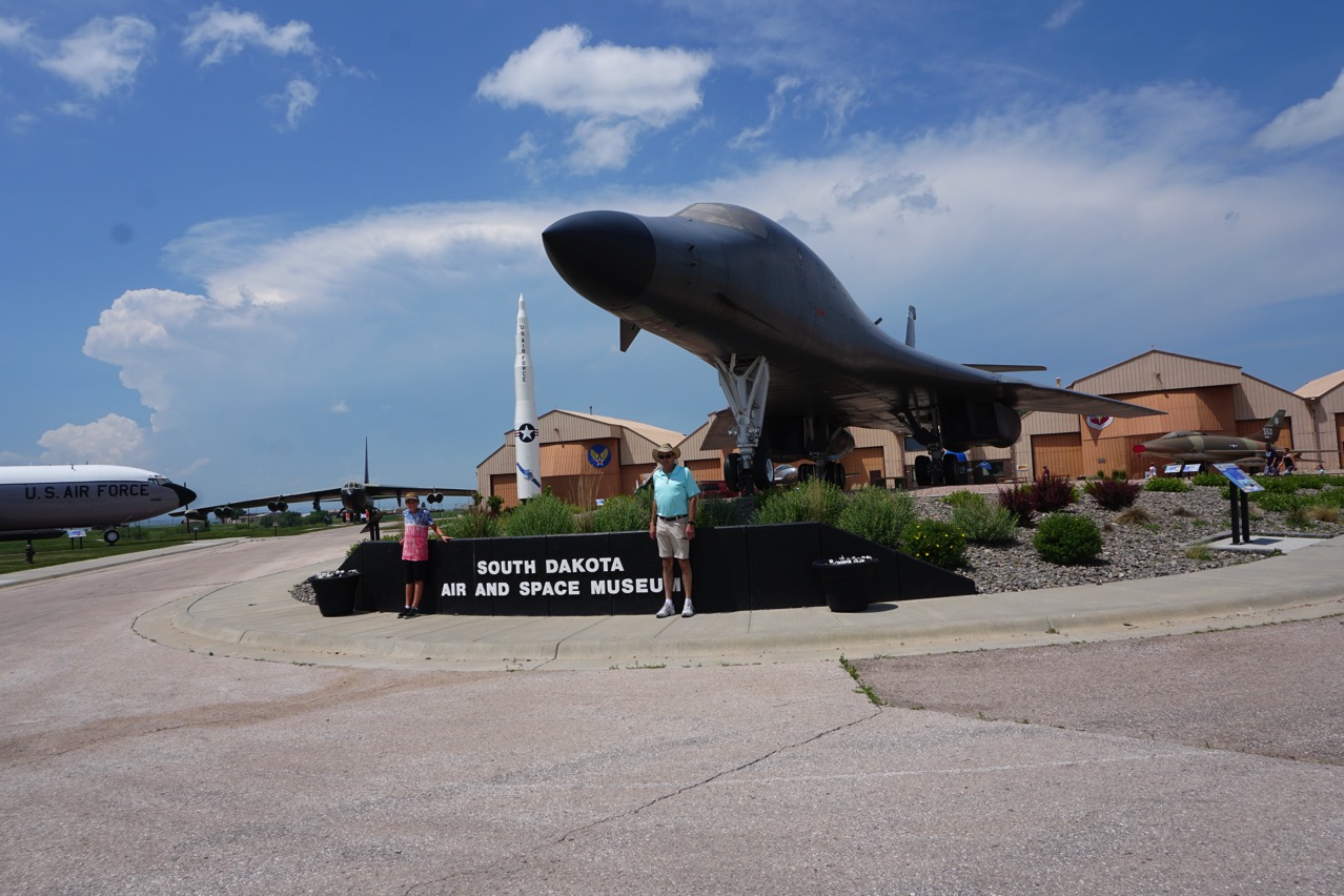
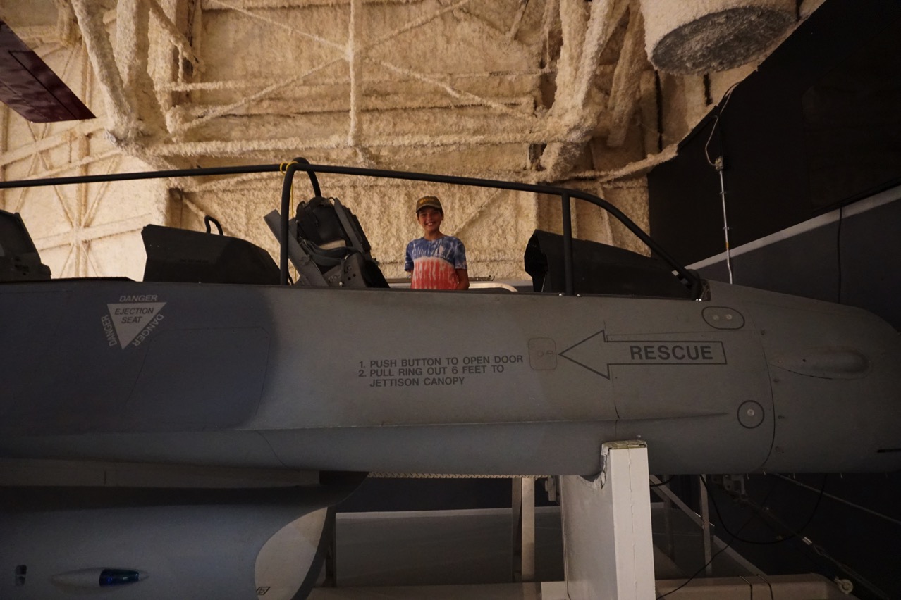
Back to Hart Ranch
After dinner Hart Ranch had s’mores for everyone and these were the best I have ever had. Instead of using graham crackers and Hersheys, they used Keeper’s fudge stripe cookies. We roasted the marshmallows and they held out the two cookies to take the marshmallow off our stick. Great idea!
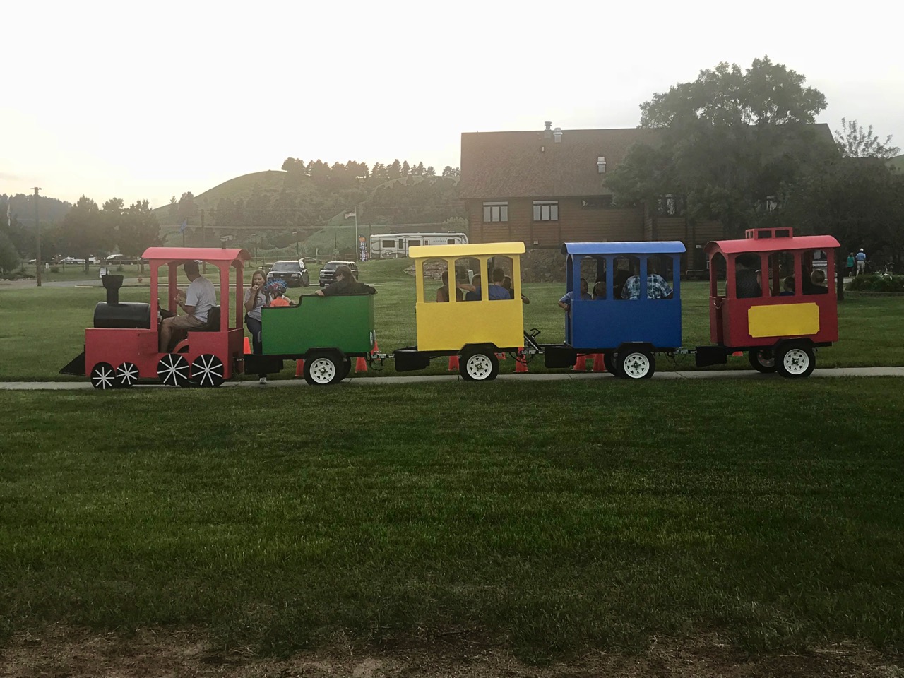
There was also a “train” ride for all the little kids.
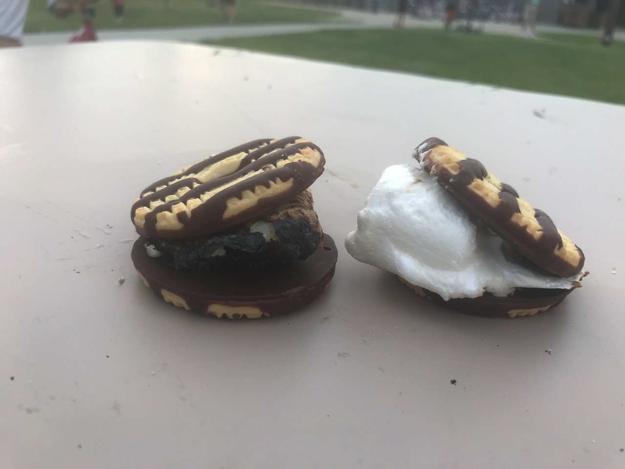
S’mores with fudge stripe cookies
Tomorrow we leave for Billings, MT.
-
Day 10 - Custer State Park and Tramway Adventure Park
This morning started with me feeling sick for the 5th straight day, so I took myself into Rapid City to see a Doc in the Box. After a full exam and some blood work, the doctor determined that I either have a viral infection or allergies. At least I have some cough medicine with codeine to get me through the night.
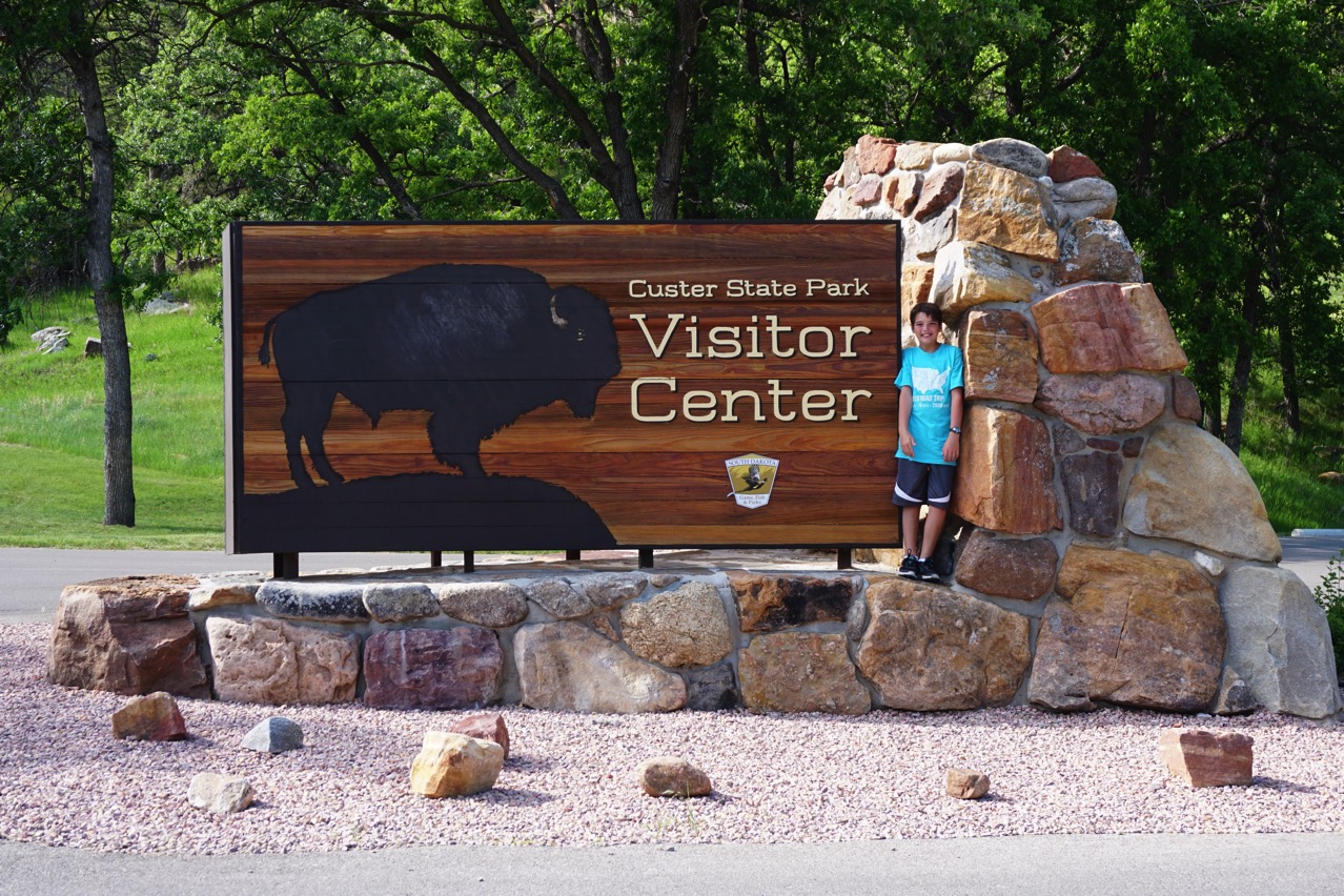
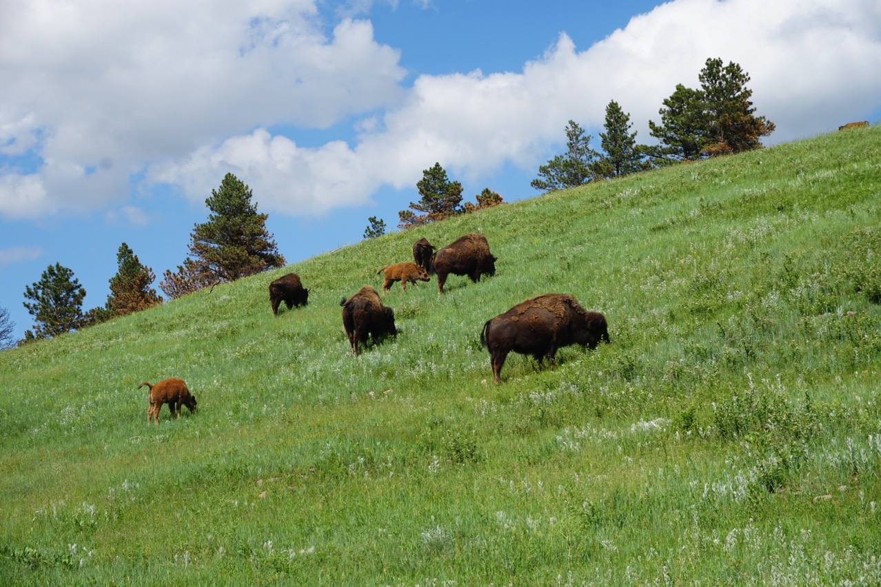
This afternoon we drove to Custer State Park where we saw deer, bison and prairie dogs!!! We had to wait along the road several times while the Bison slowly meandered across the road.
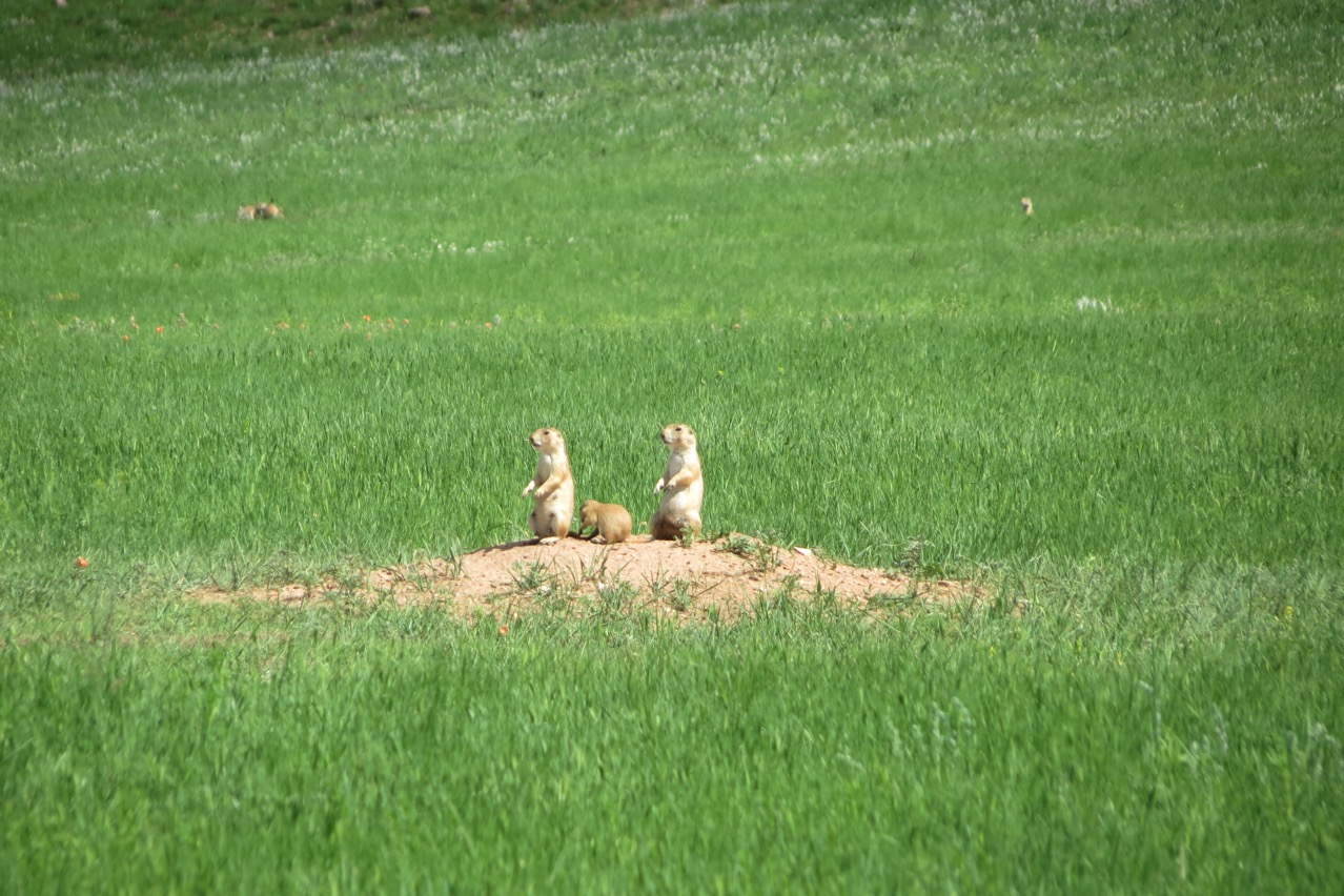
These prairie dogs were so cute! We saw them making movements like jumping jacks, but if we got anywhere near them, they dashed underground.
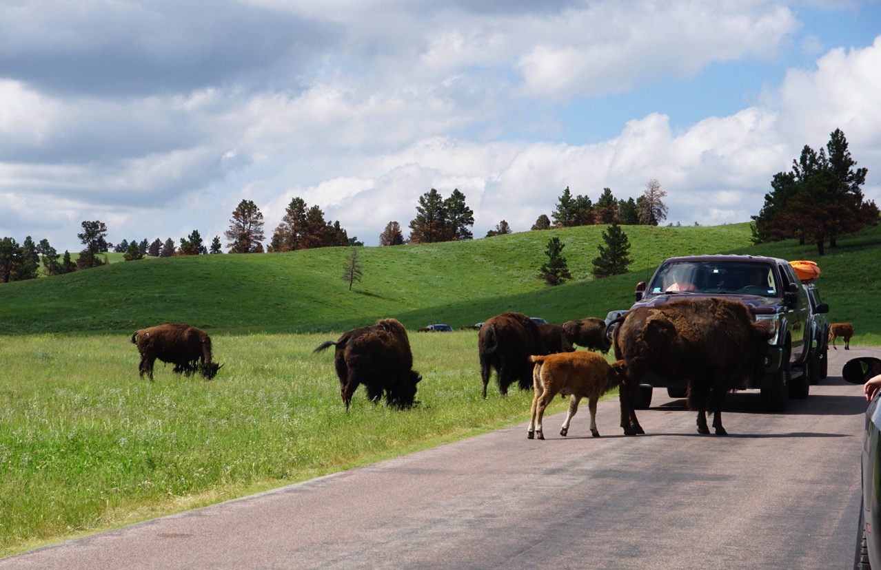
Several times we had to wait several minutes for them to meander across the road!
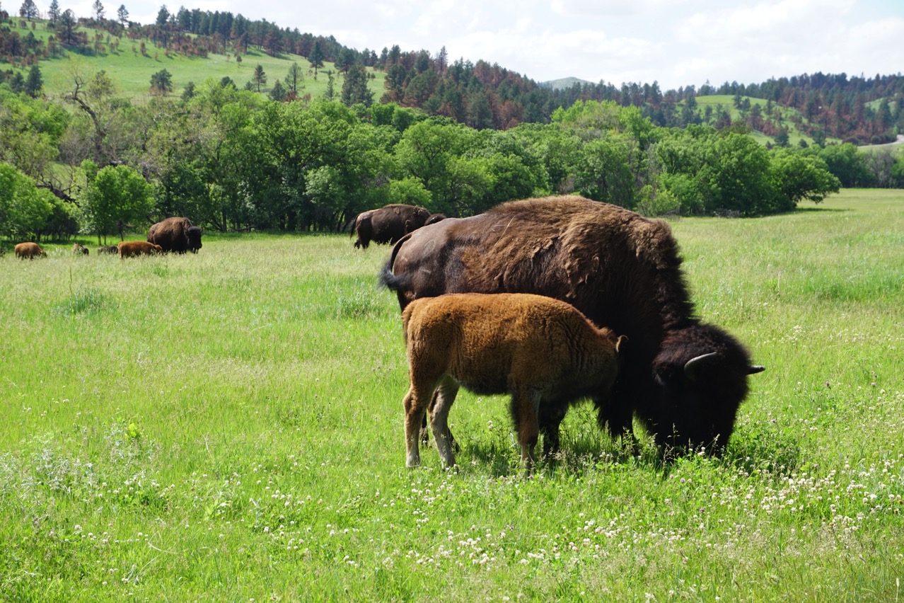
There were lots of babies in the herds of bison
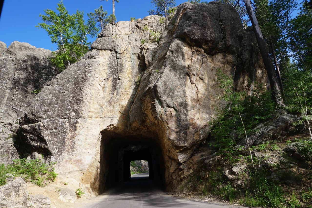
We drove through three tunnels created by blasting through the giant blocks of granite.
Tramway Adventure Park
After spending the afternoon at Custer State Park we stopped in Keystone to ride the ski lift to the top of the mountain in order to ride the alpine slides back down. The first time up Tom, Ben and I rode up together. Ben went down with Tom and I walked down the mountain a little bit to take pictures and then rode the alpine slide down. The first time Tom was on the “fast side” and Ben was on the “slow” side. The second time just Ben and I rode back up to the top. This time I was on the "slow” side of the alpine slide track and Ben was on the “fast” side., Ben wiped out about one-third of the way down the mountain and got a road burn on his arm and by his knee.
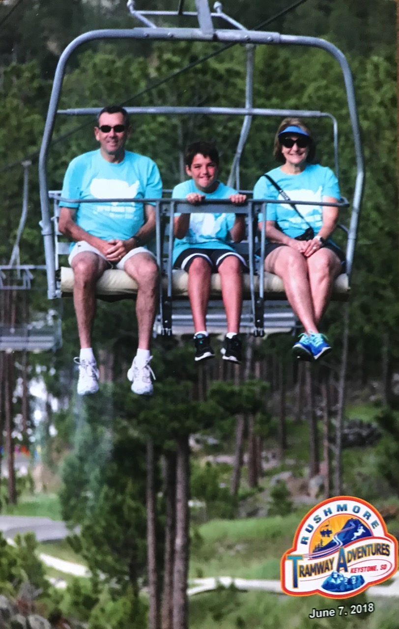
What goes up must come down!
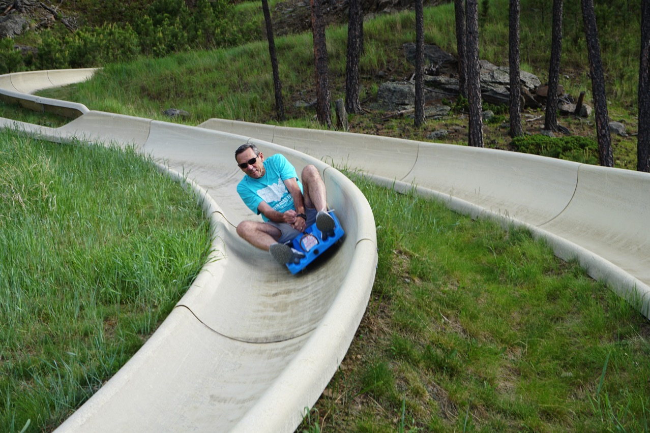
Tom is riding the FAST lane!
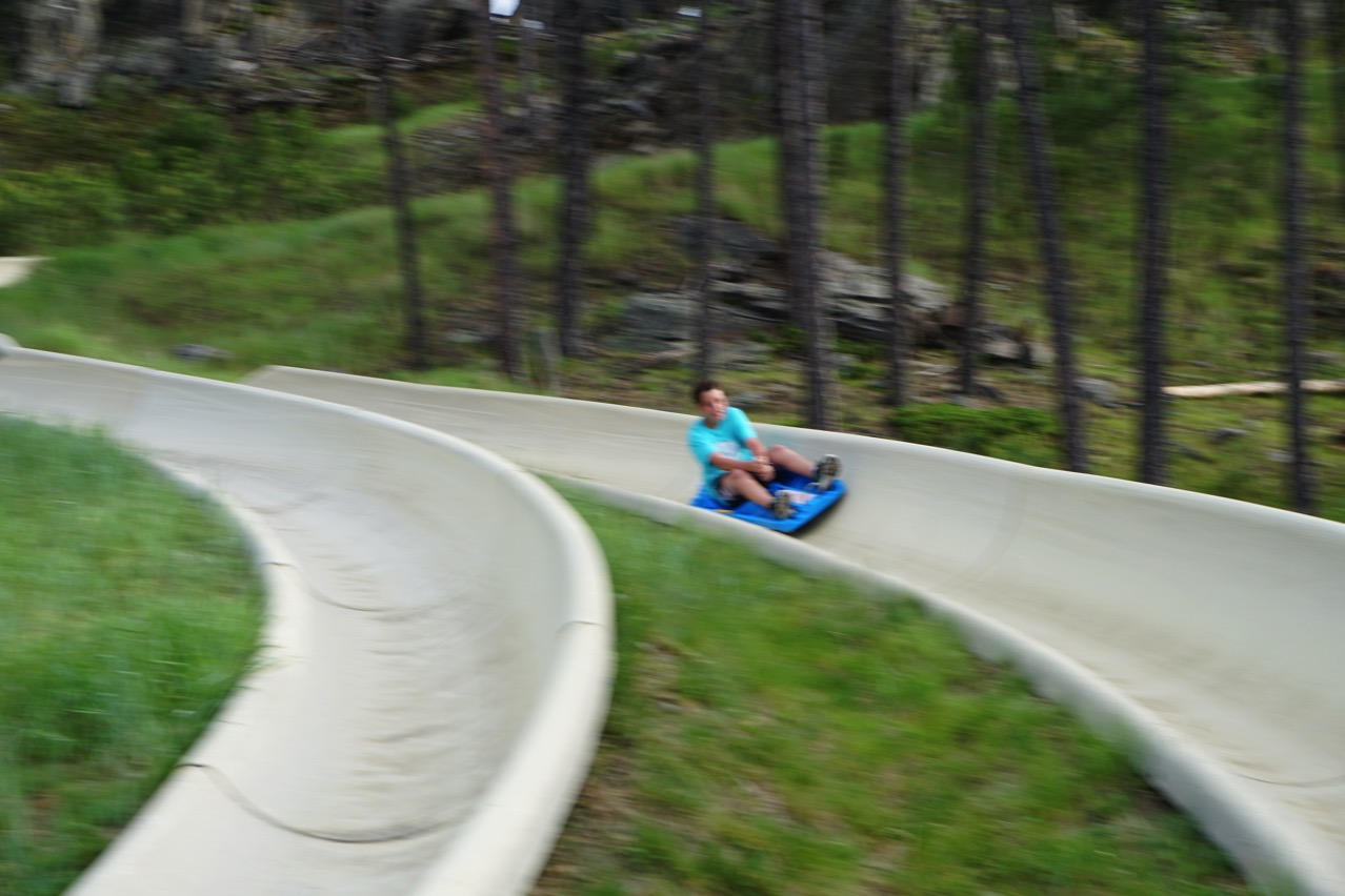
Unfortunately, my picture of Ben wasn’t quite in focus (I forgot to use the “continuous” setting.
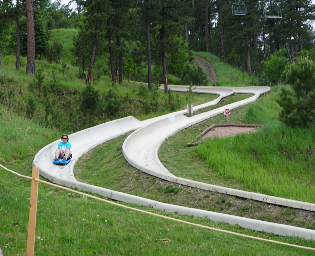
Here I come!
-
Day 9 - Mt. Rushmore and Rush Mountain Adventure Park
This afternoon we drove from the Hart Ranch to Mt. Rushmore. The sky was a beautiful blue and the temperature was 78.
We watched the video about the design and construction of Mt. Rushmore. The sculpture was designed and the construction supervised by Gutzon Borglum with the help of his son Lincoln, and the work began in 1927. The sculpture was supposed to depict each or the four presidents- Washington, Jefferson, Roosevelt and Lincoln- from head to waist, but Gutzon died in March of 1941. His son Lincoln took over as leader of the construction project, but lack of money forced the project to end in October of 1941. An interesting fact: 90% of the sculpturing was done with blasts of dynamite.
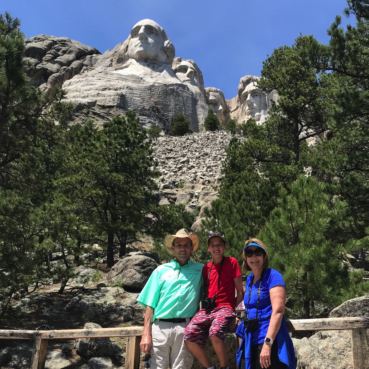 We picked a good day to be at Mt. Rushmore because it wasn’t nearly as crowded as it was the last time we were there!
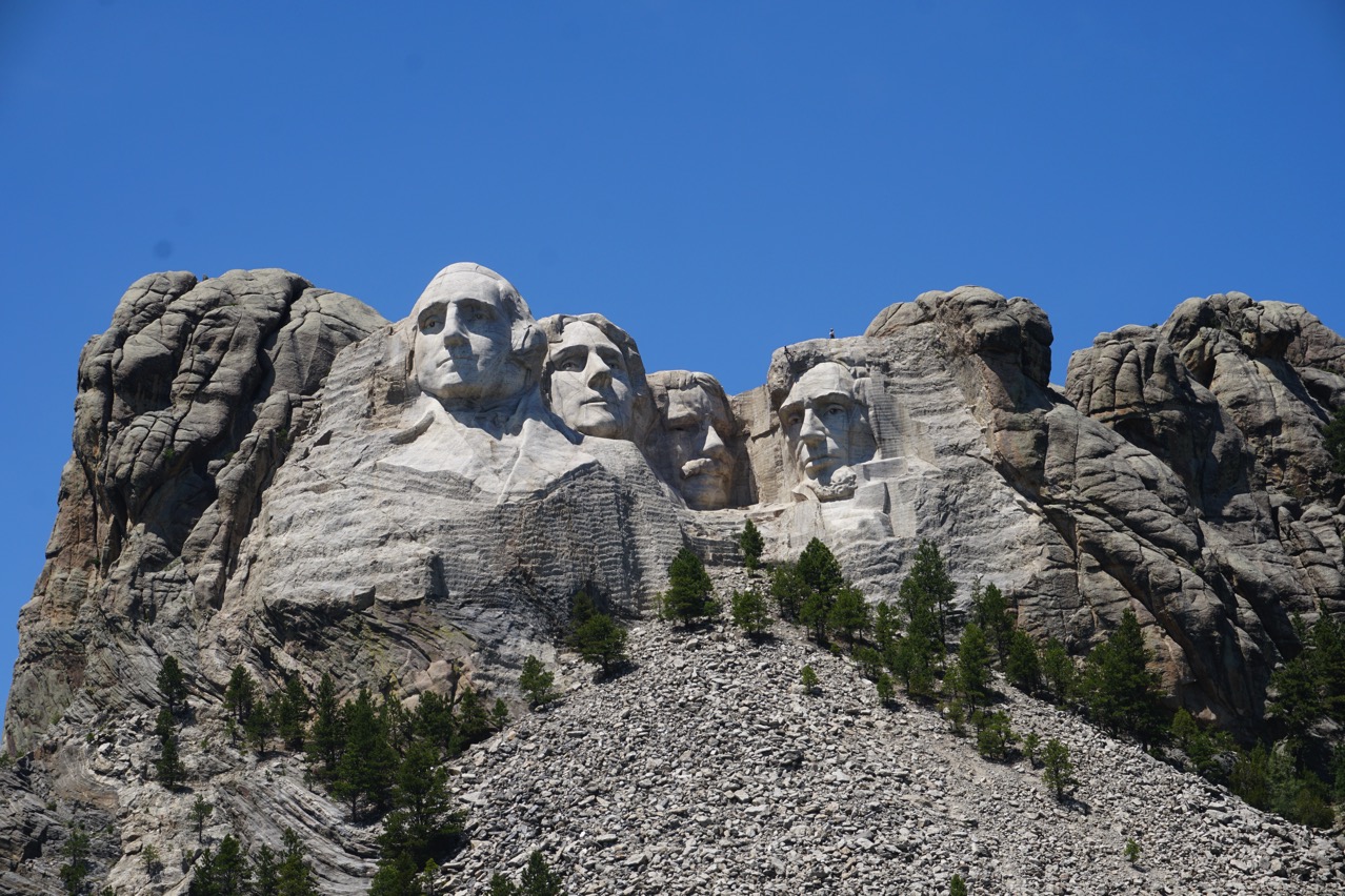
Beautiful blue sky!!
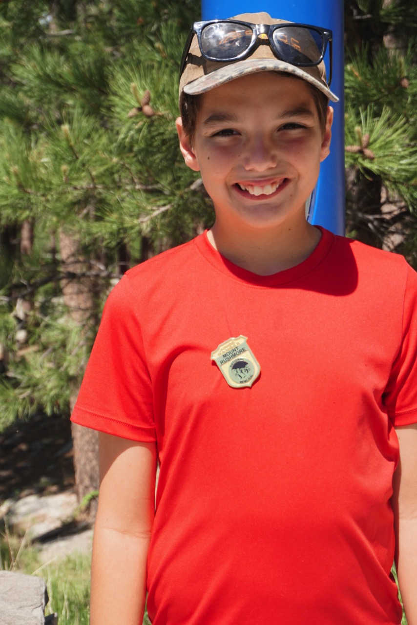 Ben earned his Junior Park Ranger Badge for Mt. Rushmore while we were there.
Rush Mountain Adventure Park
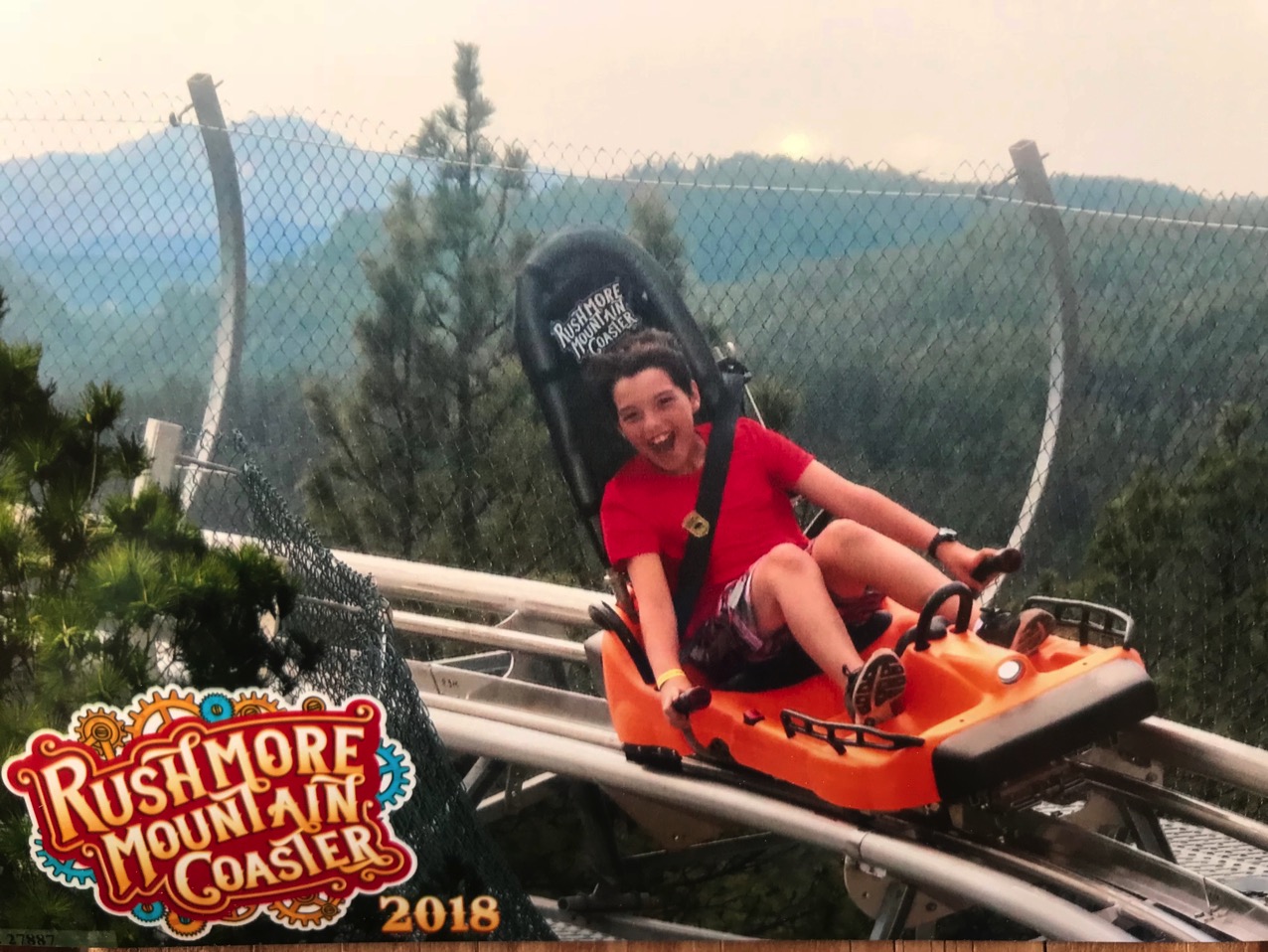
We stopped at Rush Mountain Adventure Park on the way back from Mt. Rushmore. Tom and I rode the mountain coaster once, but we bought an unlimited pass for Ben which allowed him to ride the coaster, do the ropes course and ride the zip line.
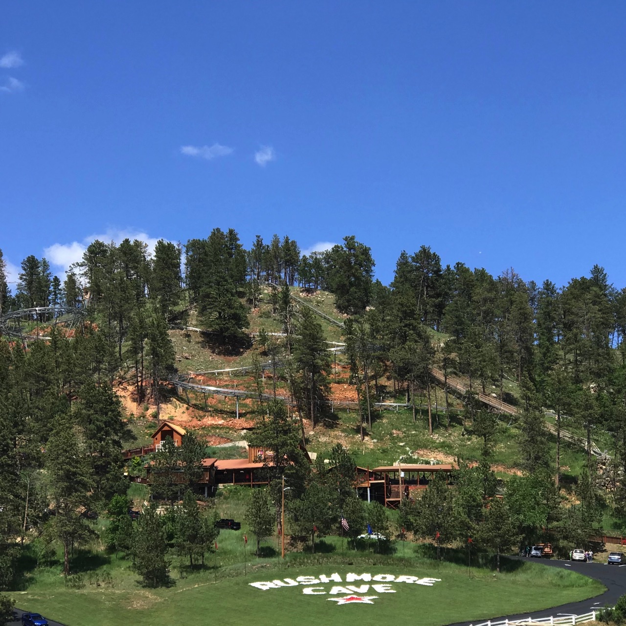
Check out that coaster track coming down the mountain!
-
Day 8- The Badlands and Beyond
This morning we drove from Wall, South Dakota through Badlands National Park where we stopped at various overlooks and climbed onto the rocks. The sky was a beautiful shade of blue without a cloud in sight.
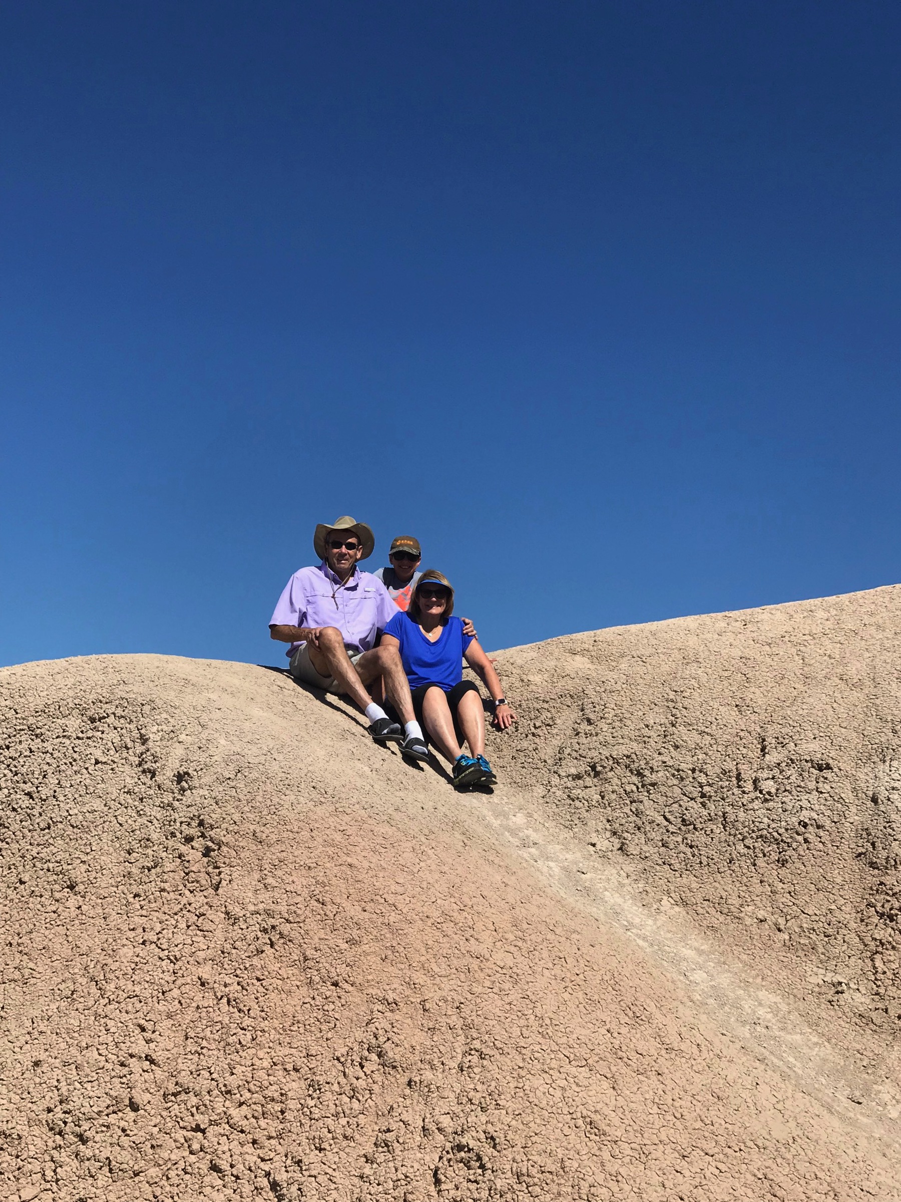
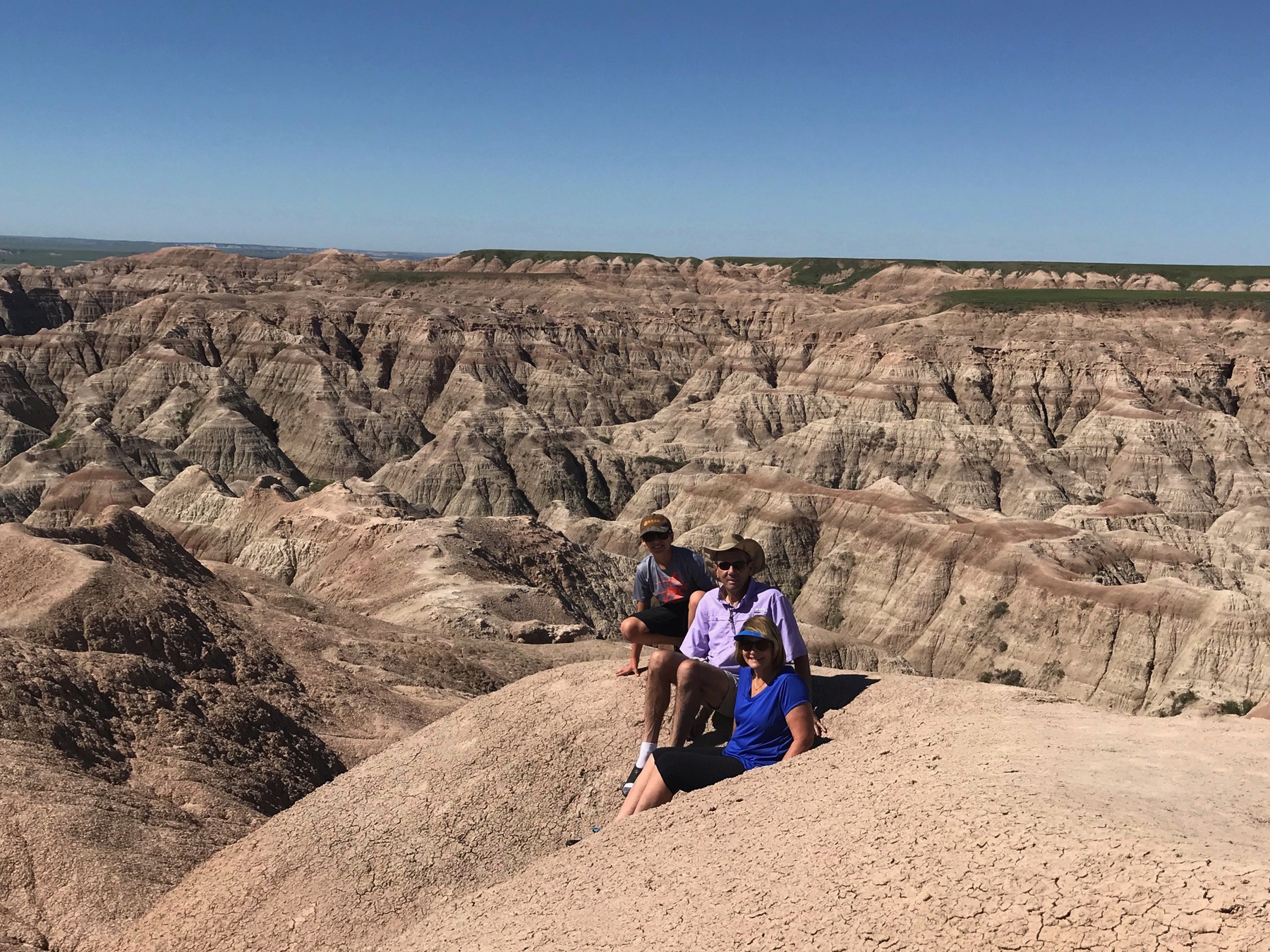
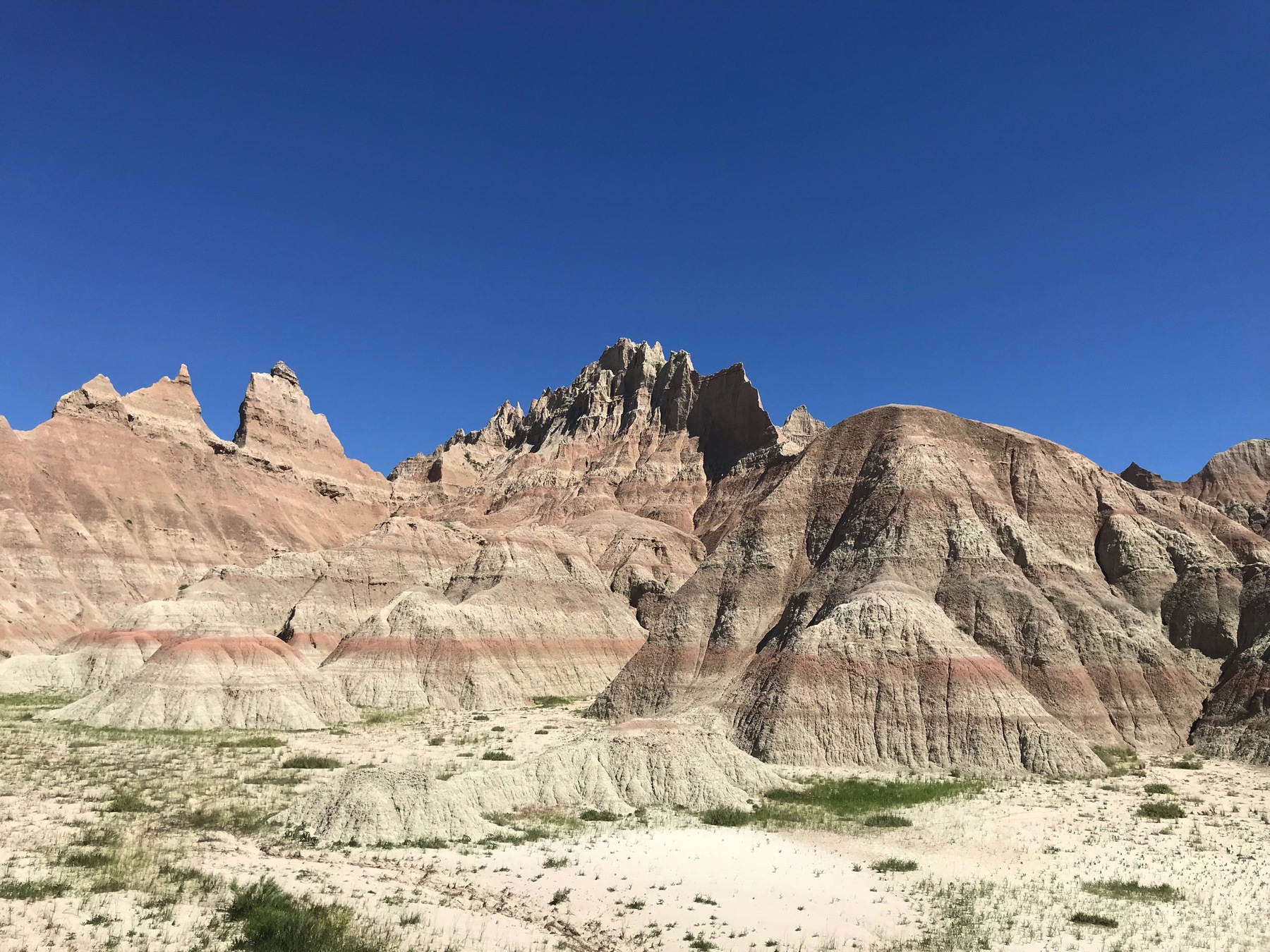
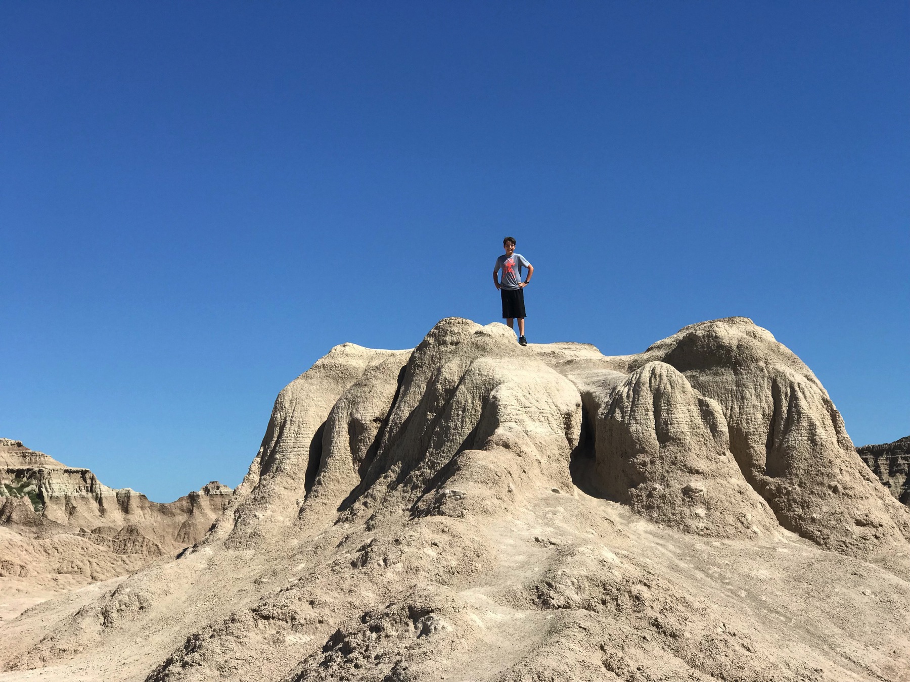
While we at the Badlands Visitor’s Center, Ben participated in a Junior Park Ranger Program and earned his pin and a badge.
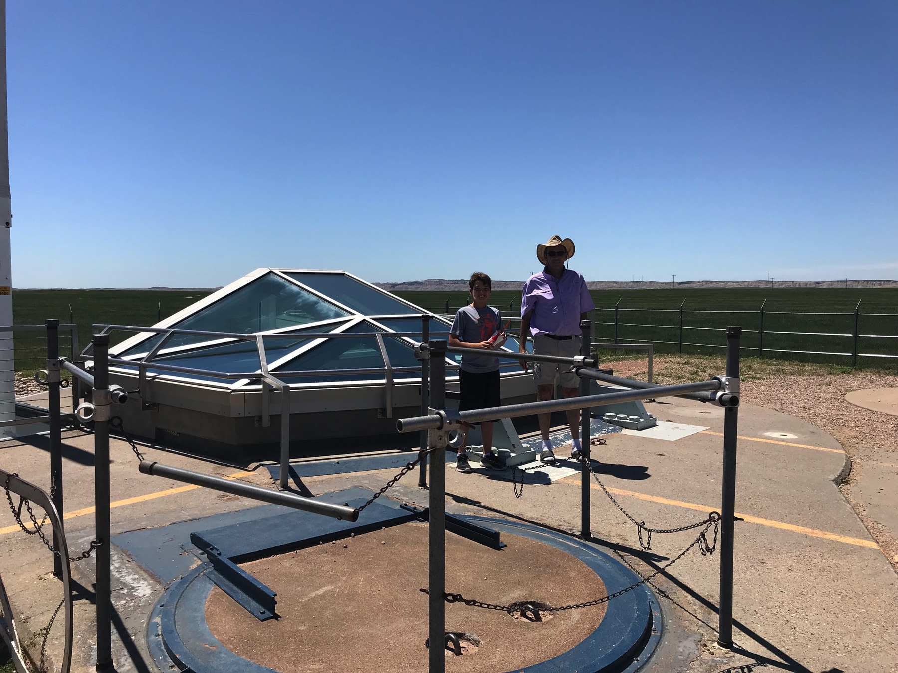
Delta 09 Missile Silo
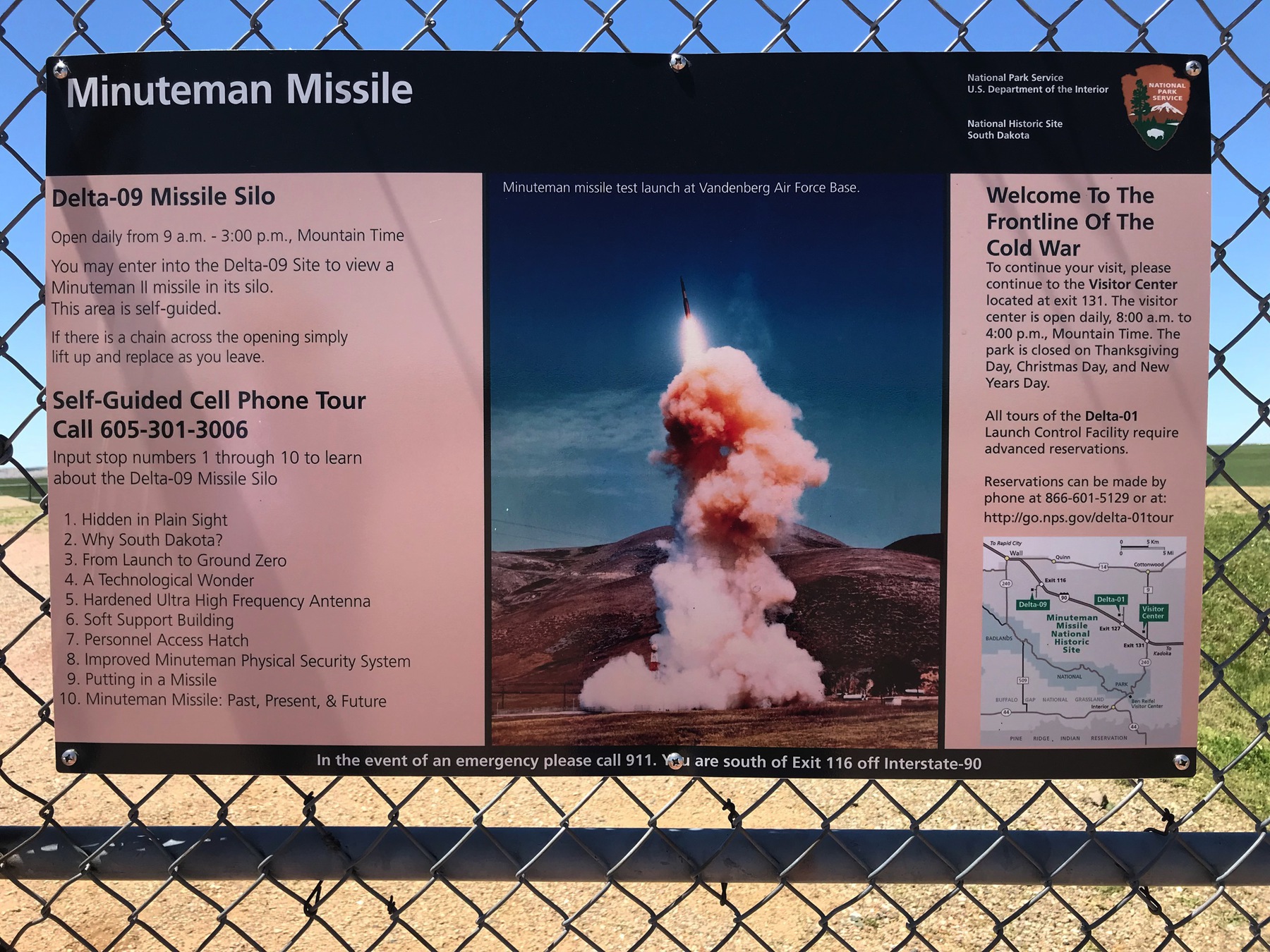
On the way back from the Badlands we stopped at the Delta 09 Missile Silo.
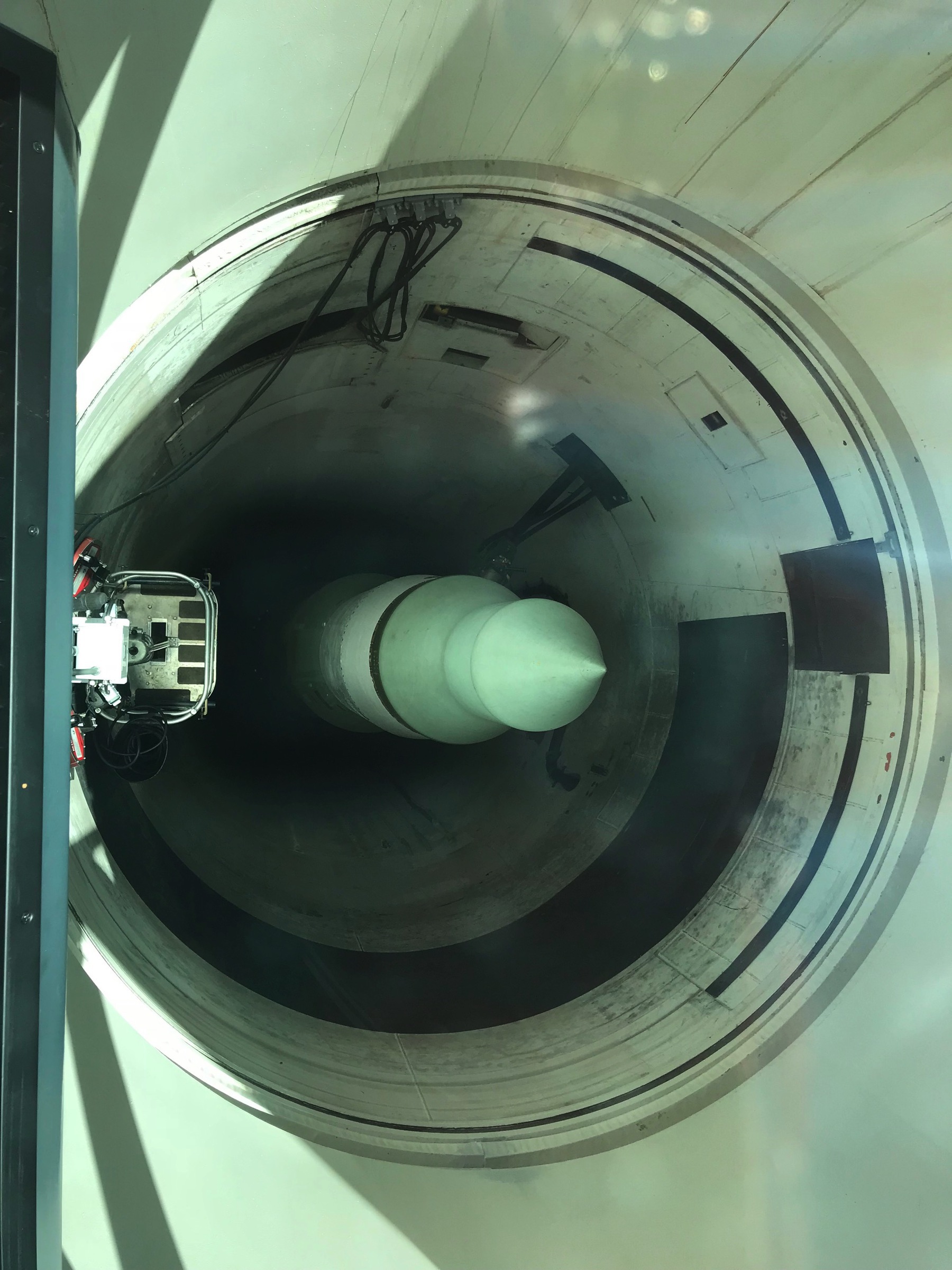
From 1963 until the early 1990s, the missile silo at Delta-09 contained a fully operational Minuteman Missile, bearing a 1.2 megaton nuclear warhead. The Delta-09 missile silo was one of 150 spread across western South Dakota. In total there were 1,000 Minuteman's deployed from the 1960's into the early 1990's. Visitors can now tour the site on their own.
The launch facility consists of a silo 12 feet in diameter and 80 feet deep made of reinforced concrete with a steel-plate liner. The door to the silo has been welded and fitted with a glass roof, and an unarmed missile placed inside.
Why were these missiles located in South Dakota??
One reason was because the land was remote with no large cities in this part of the US. It was believed that the low population would limit casualties in the event of a nuclear war. A second reason was the relatively close proximity of the state to the Soviet Union. A Minuteman Missile launched from Delta-09 could soar straight over the North Pole and strike targets deep within central Russia. The Minuteman II had a maximum range of 6,300 miles, putting almost all possible Soviet targets within its range.
Our last stop—and our home for the next five days is Hart Ranch Camping Resort in Rapid City, SD!!!! We bought into this resort in the mid 1990’s when we had our first pop up camper. Jon Paul, Michael, Jonathan and Stephen spent some fun days here—“back in the day."
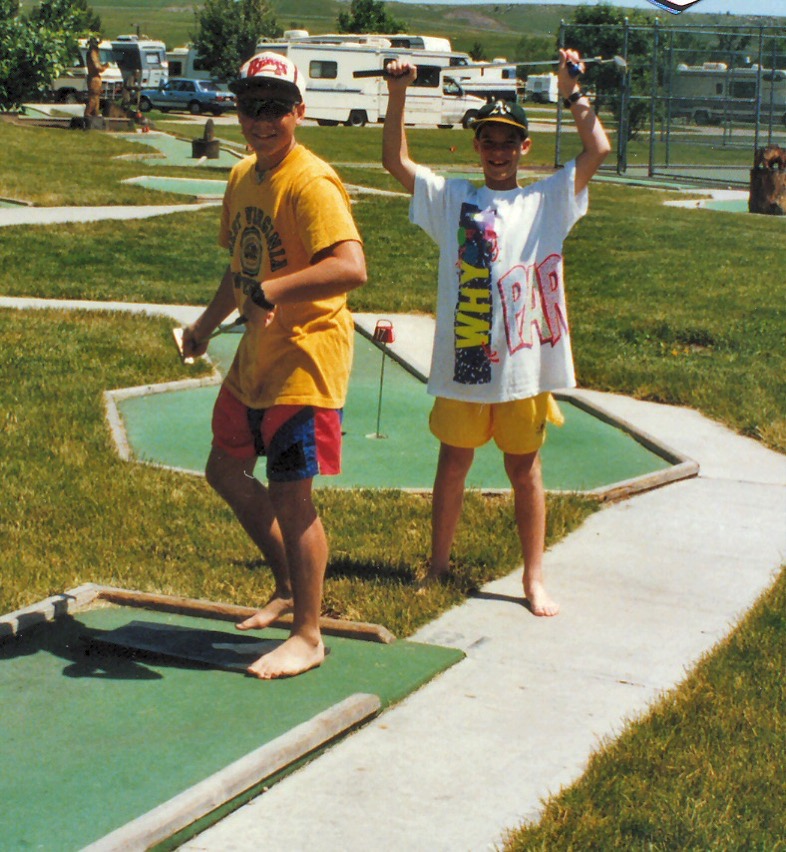
Jon Paul and Michael playing Putt Putt at Hart Ranch
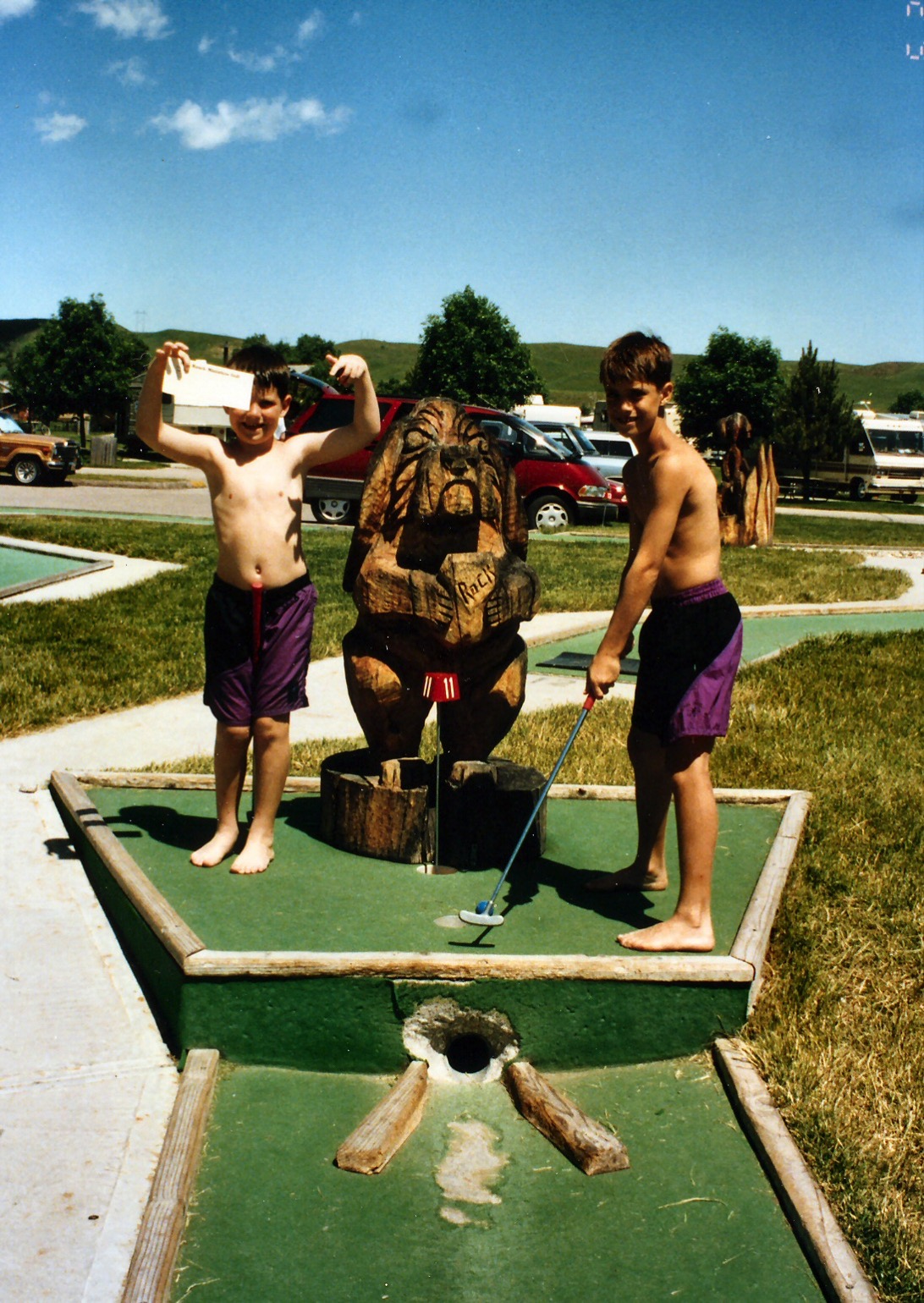
Stephen and Jonathan playing Putt Putt
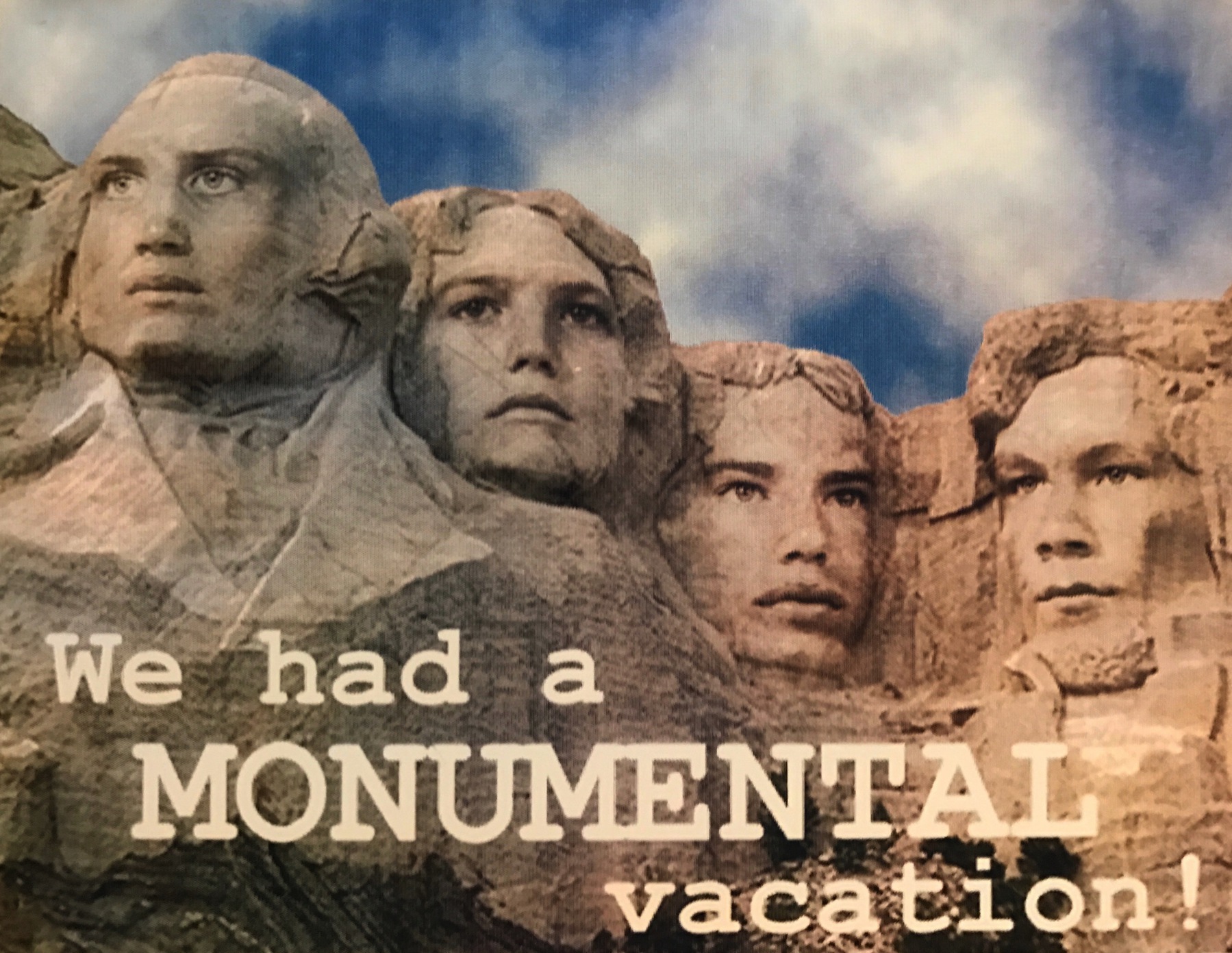
And one of my favorite 1993 memories in the Rapid City area! Do you recognize them? Jonathan, Stephen, Michael and Jon Paul
-
Day 7 - Wall, South Dakota
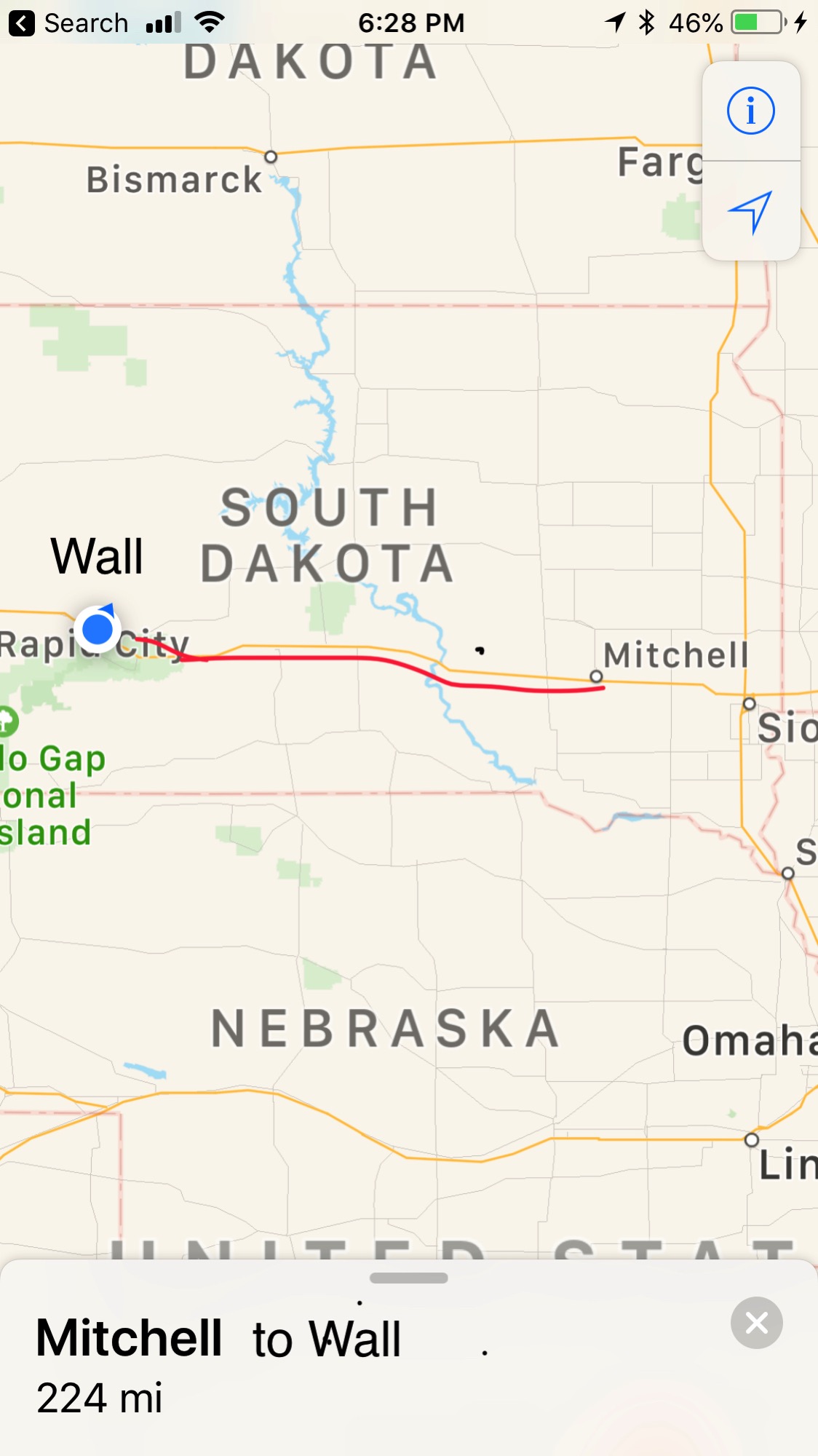
Today we drove from Mitchell to Wall, South Dakota which was 224 miles. It was a beautiful sunny day and 88 degrees.
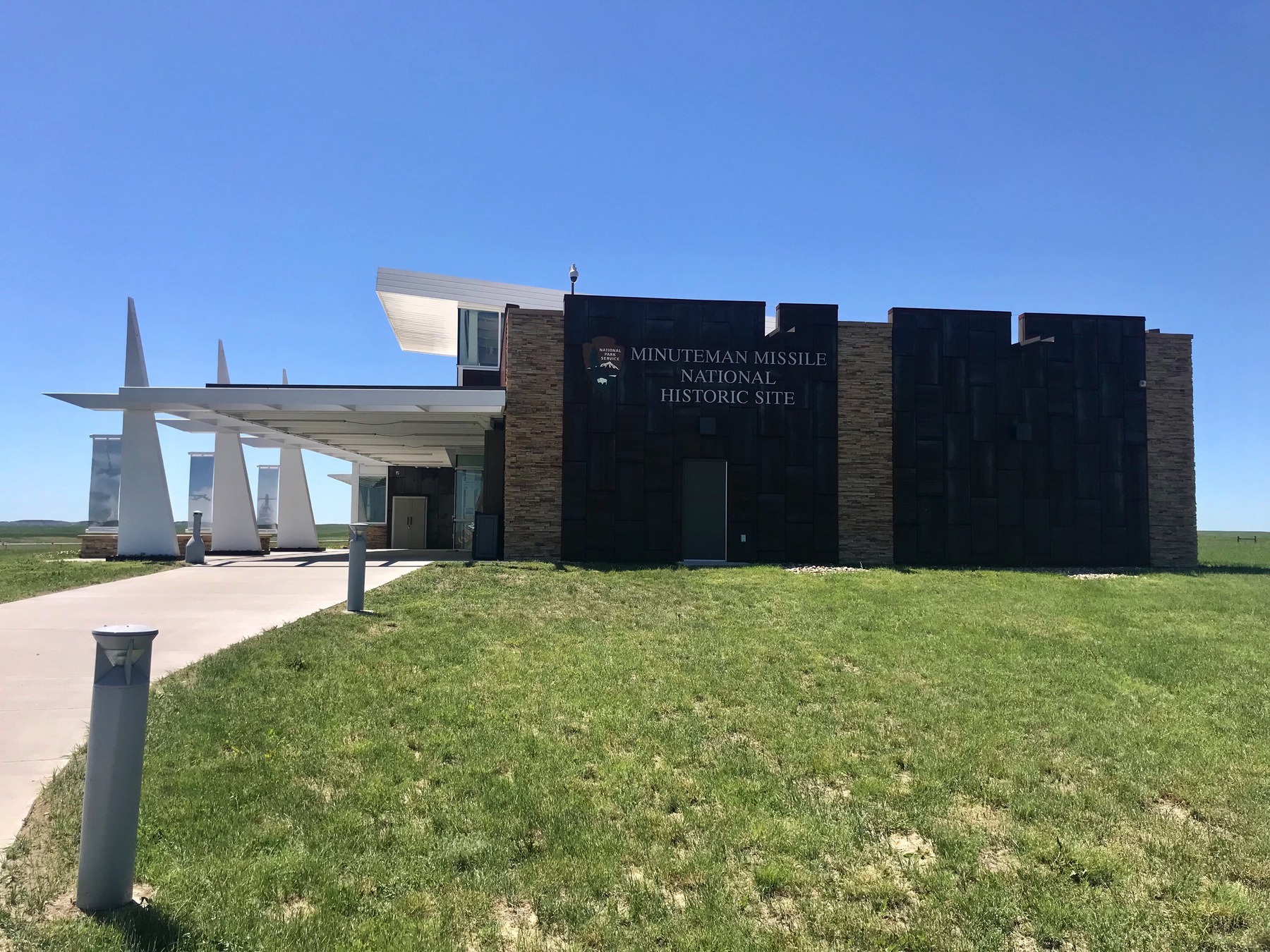
Minuteman Missile National Historic Site
Along the way we stopped at the Minuteman Missile National Historic Site where we saw news clips about the Cold War and the vast arsenal of nuclear missiles that were placed in the Great Plains. Hidden in plain sight, for 30 years 1,000 missiles were kept on constant alert, 100s remained today.
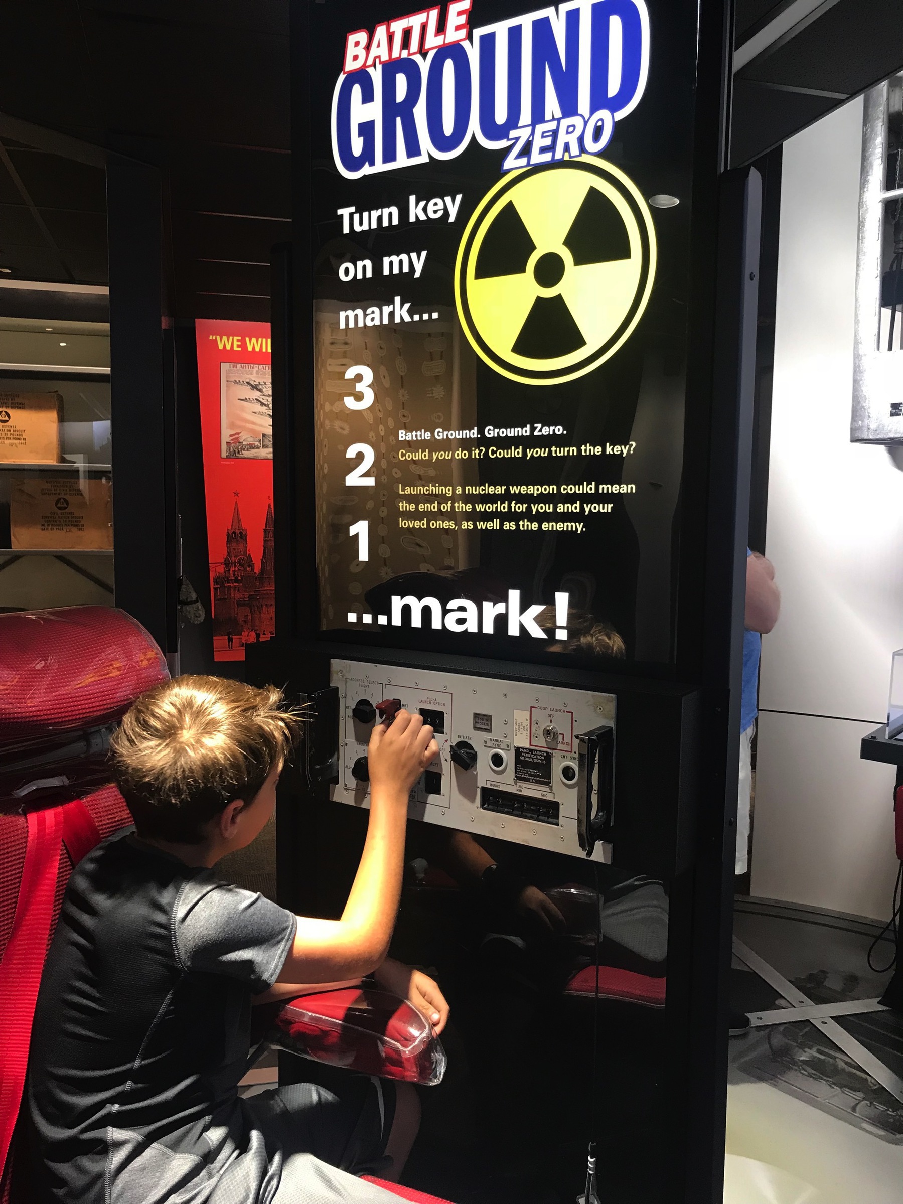
Ben is sitting in the “hot seat” that was located in the underground control center.
Wall Drug
All across I-90 for the 234 miles we drove today there were signs for WALL DRUG in WALL, SOUTH DAKOTA. The drug store started in 1931 in a very bleak setting, struggling to stay open in a town with a population of 300 “in the geographically middle of nowhere.” After struggling for over four years the owners added signs along the road offering free ice water to anyone who stopped. It grew from a small drug store to the 76,000 square foot tourist trap that it is today. Over 2 million visitors stop each year in this town of 800 to get free ice water and 5 cent coffee and then end of spending plenty on food and souvenirs!
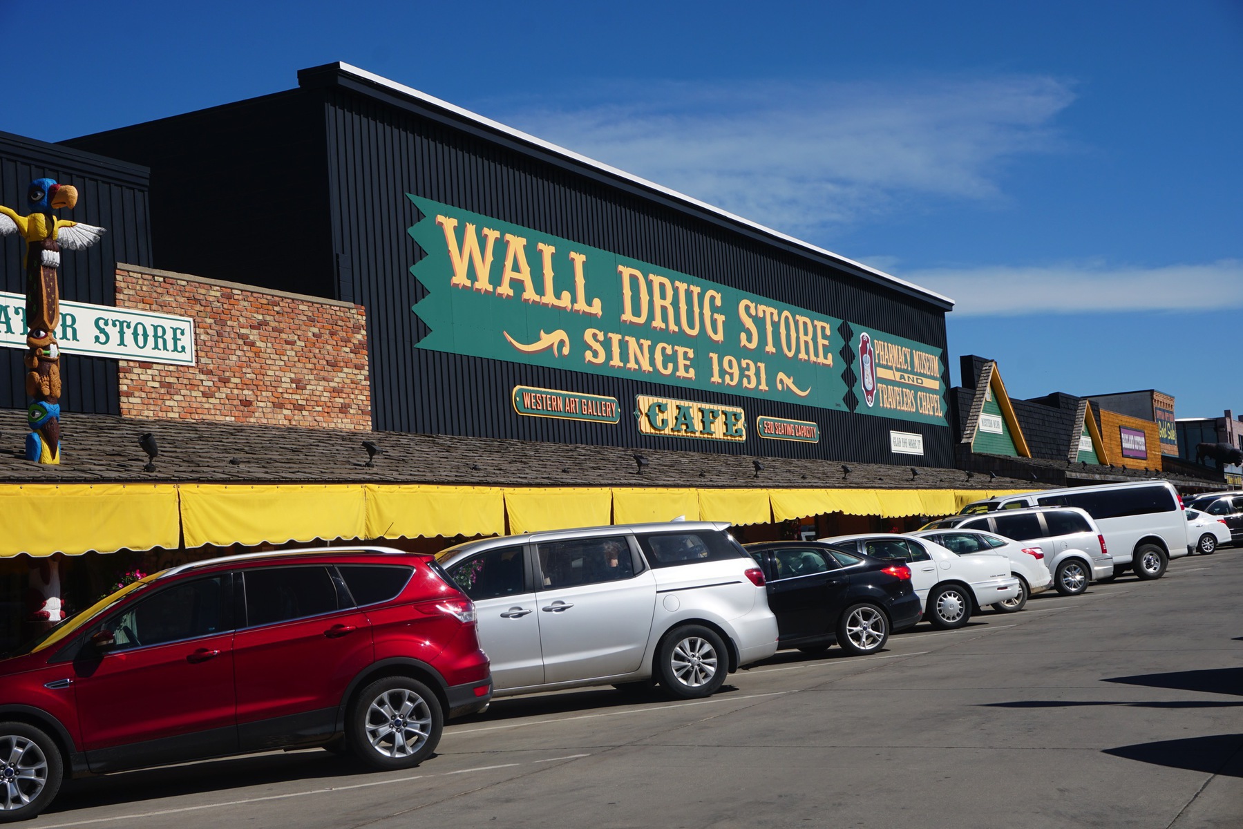
….and here it is—the infamous Wall Drug
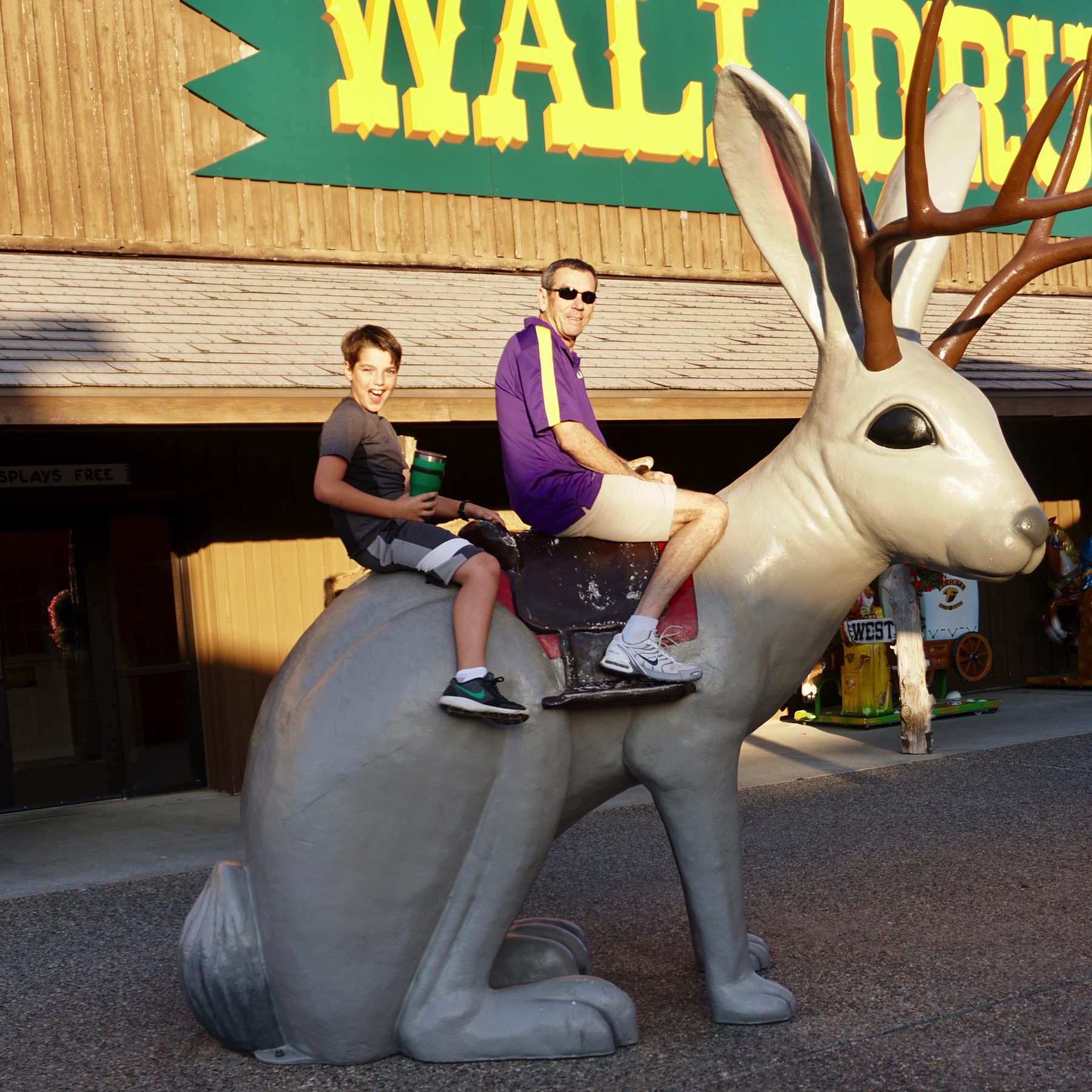
Tom and Ben Jack-alopin at Wall Drug
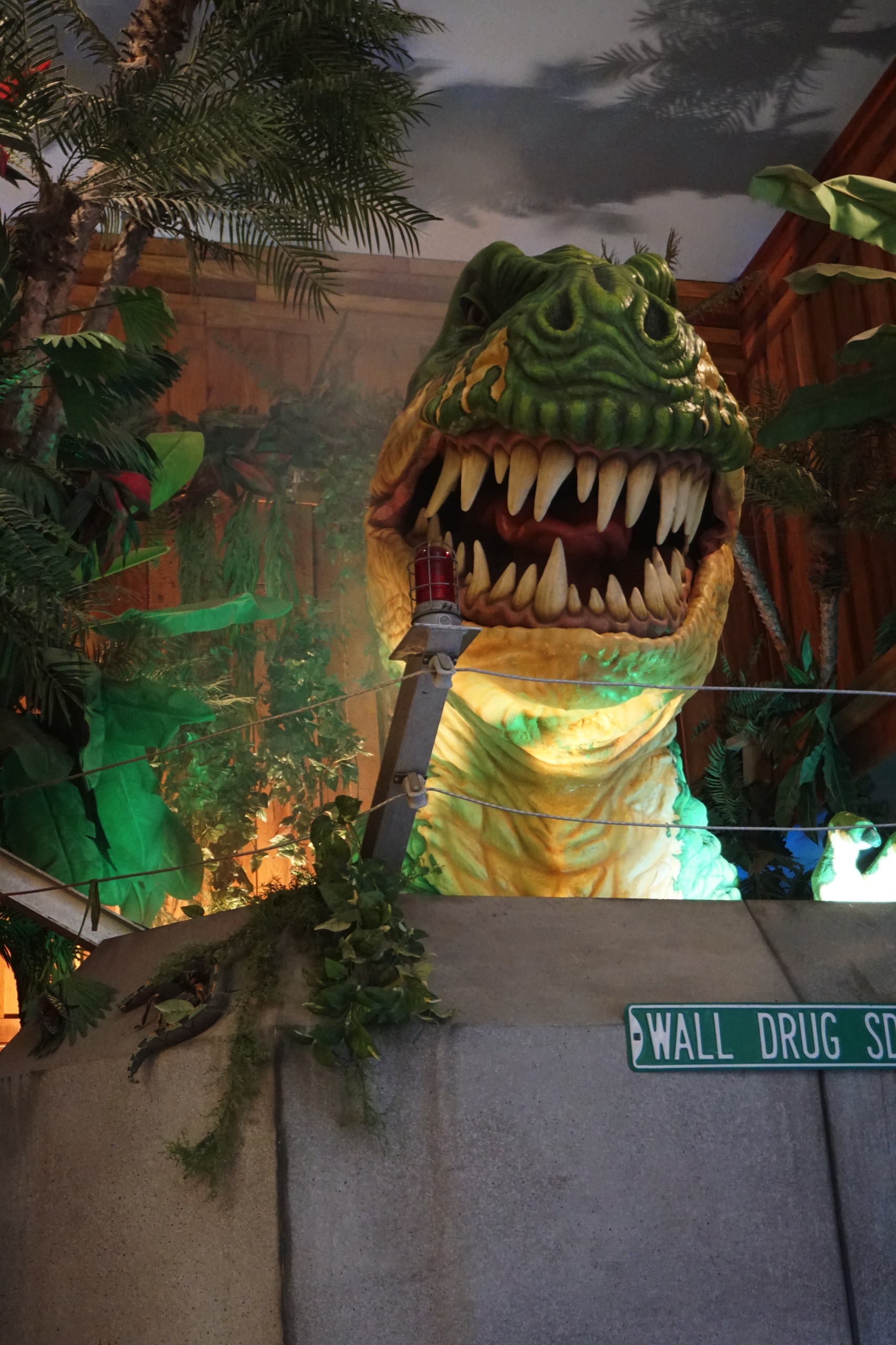
There was even a Jurassic Park dinosaur that “ate” every 12 minutes.
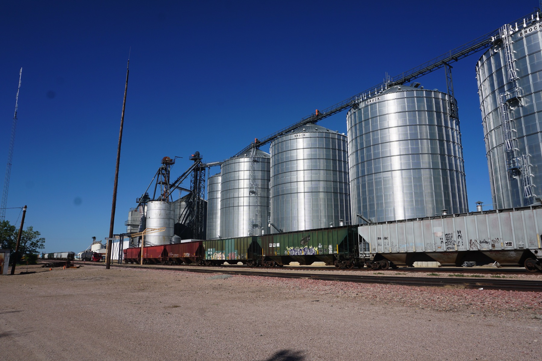
We spent the night at the Sleepy Hollow RV Park which was a block from Wall Drug and beside these grain depots.
-
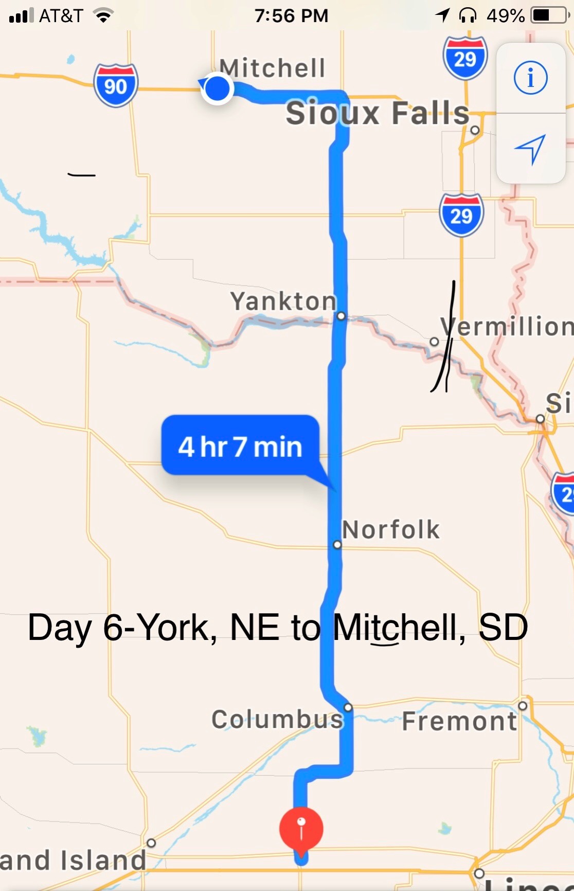
Day 6 - Mitchell, South Dakota
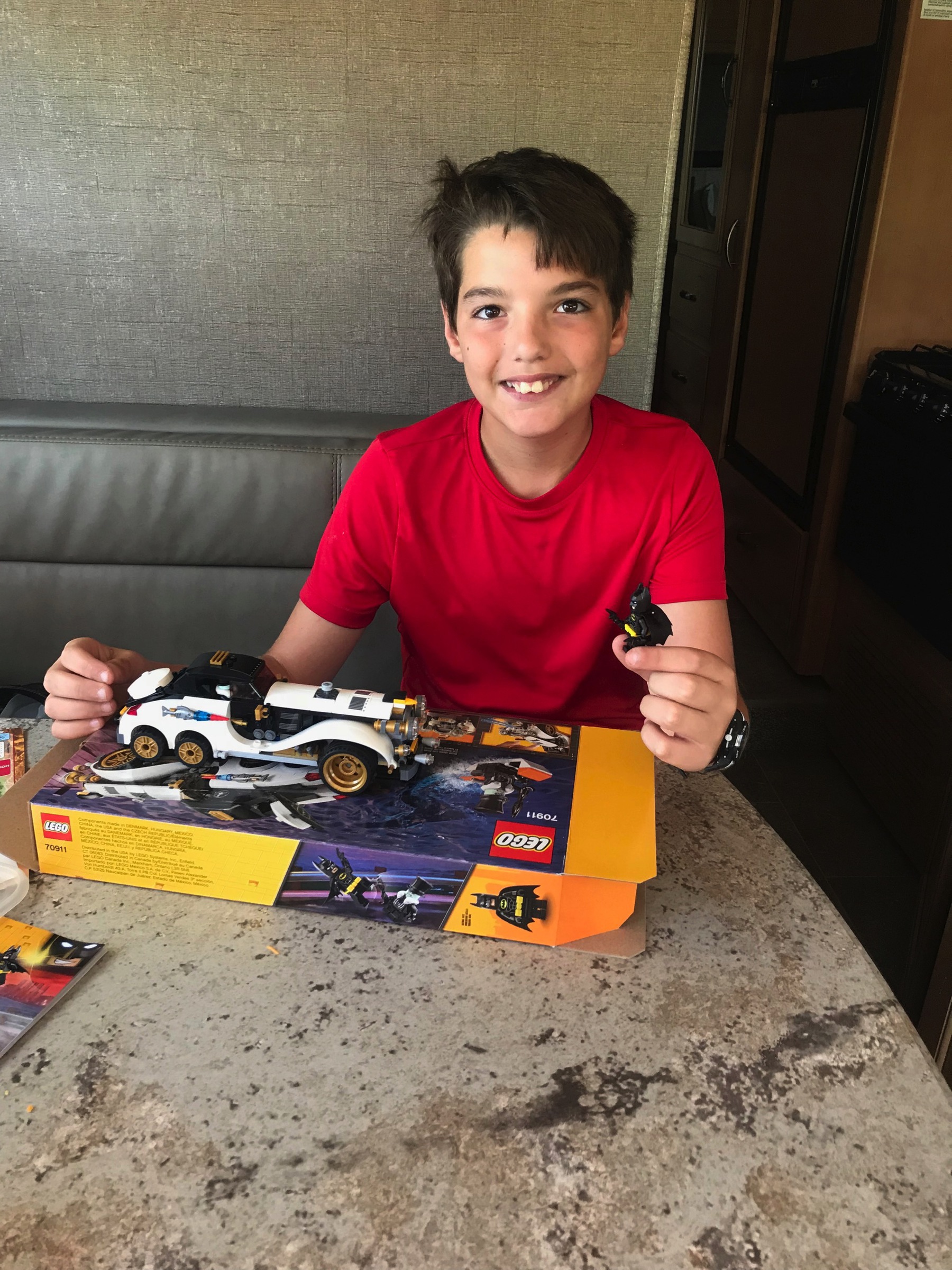
We left York, Nebraska 10:00am and drove 245 miles to get to Mitchell, South Dakota. While we were traveling , Ben built the Penguin Arctic Roller and read.
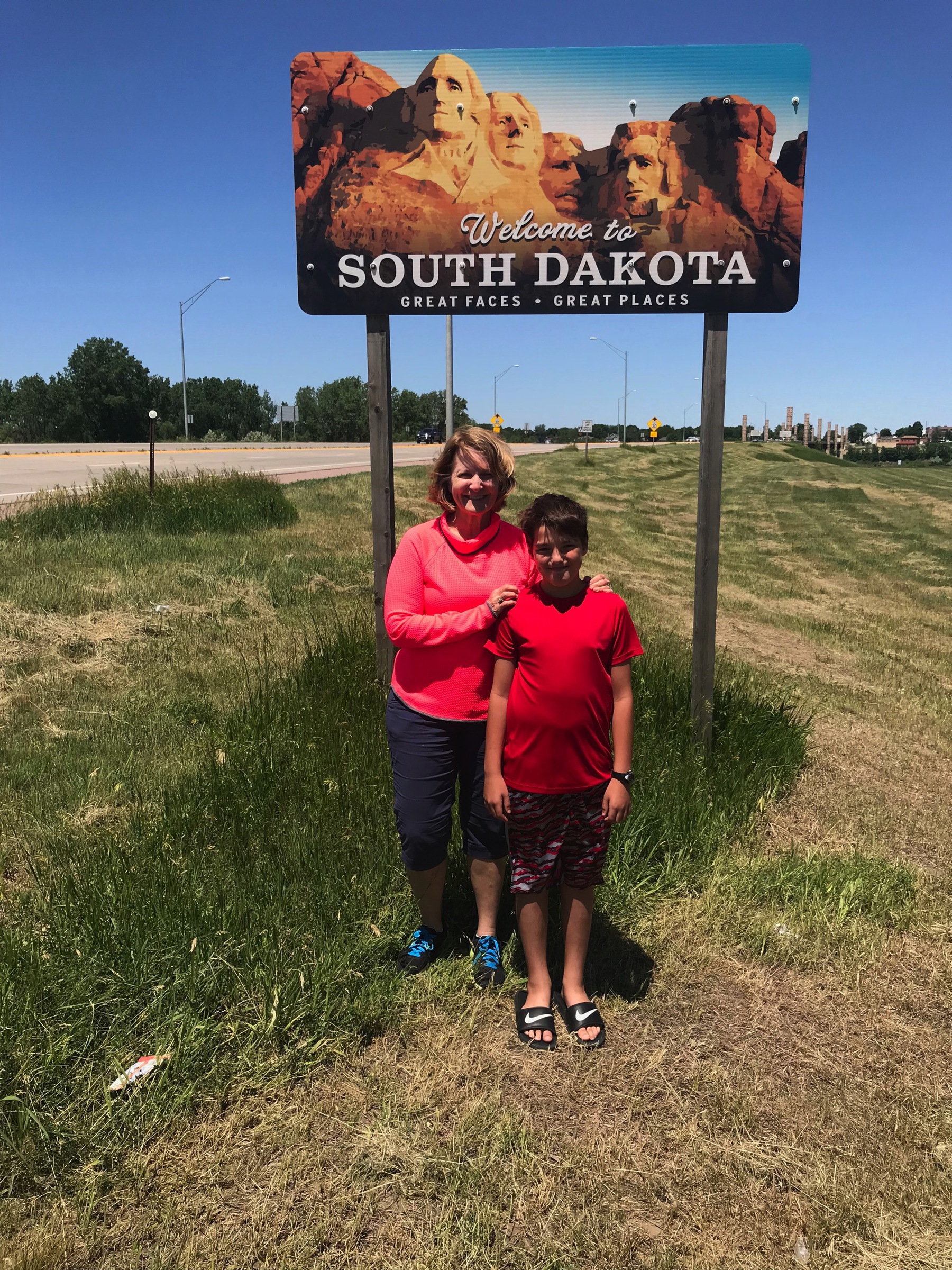
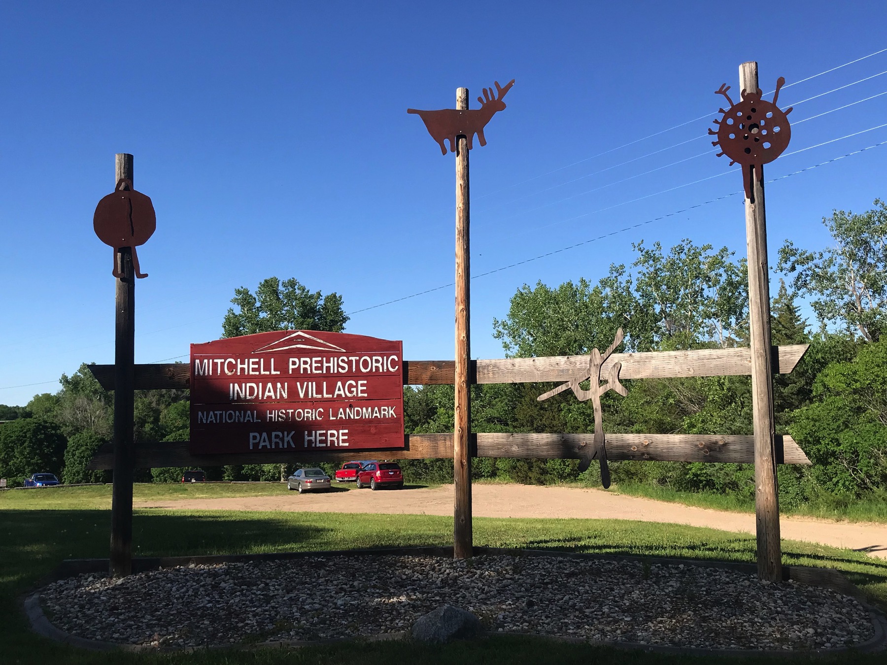
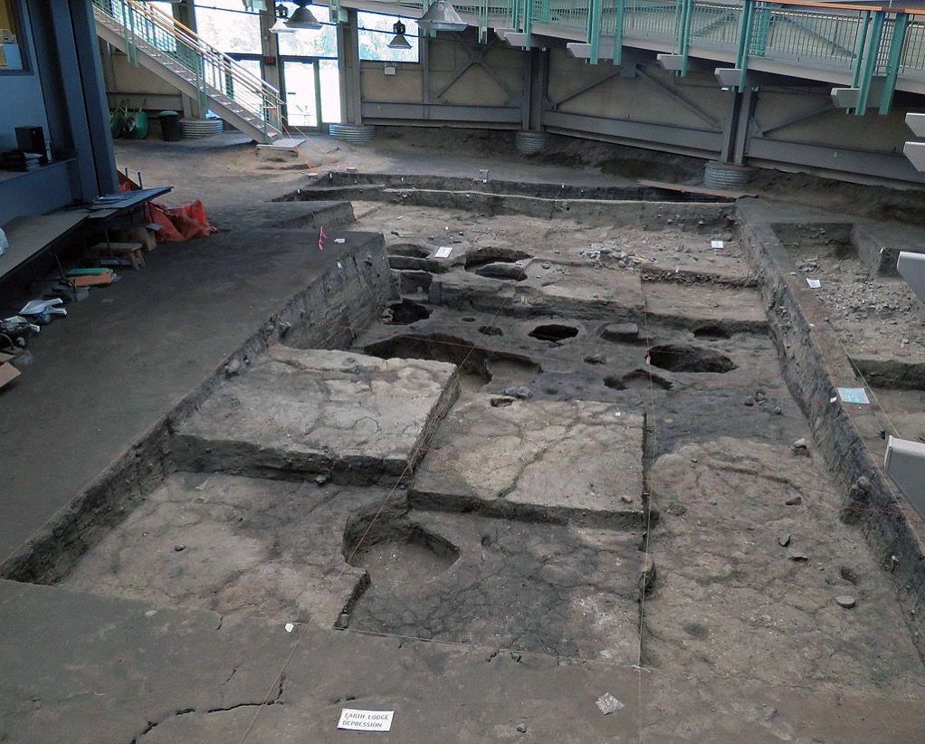
As soon as we arrived in Mitchell and parked the motorhome in the R&R Campground, we unhooked the car and drove to the Mitchell Prehistoric Indian Village and the Thomsen Center Archeodome where visitors can watch archaeologists uncover artifacts and the dig stays protected between each dig. No one was digging while we were there.
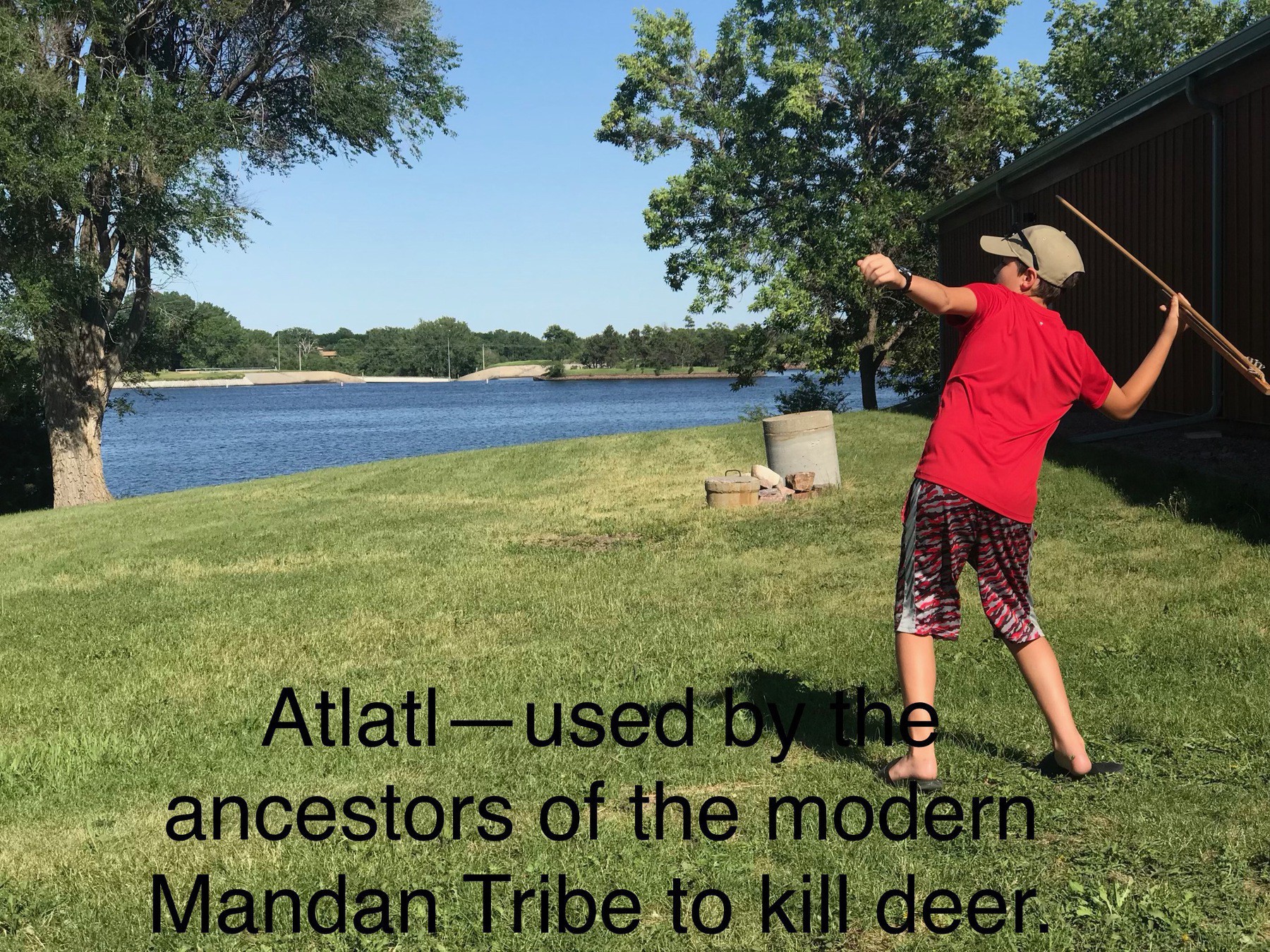
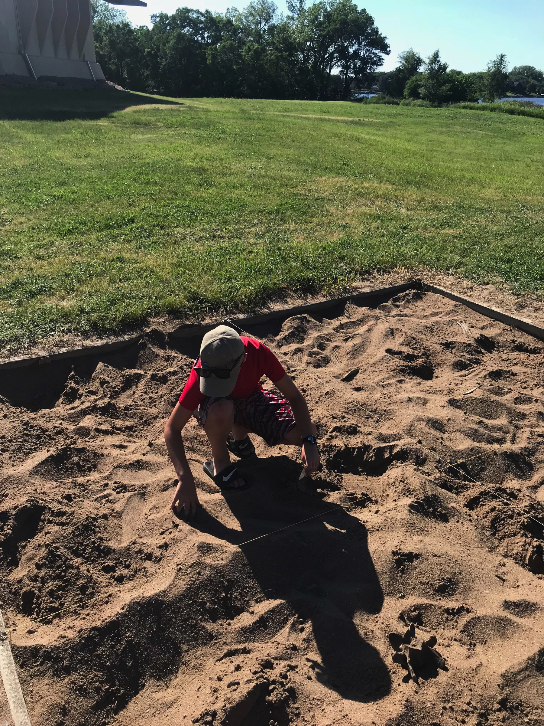
The Museum features a reconstructed lodge and many of the artifacts found at the site. Ben did a quick dig set up for the kids and traded the plastic arrowhead he found for one made from quartz. He also learned to use an atlatl that the Indians used to kill deer (at this time the deer are definitely safe from Ben!)
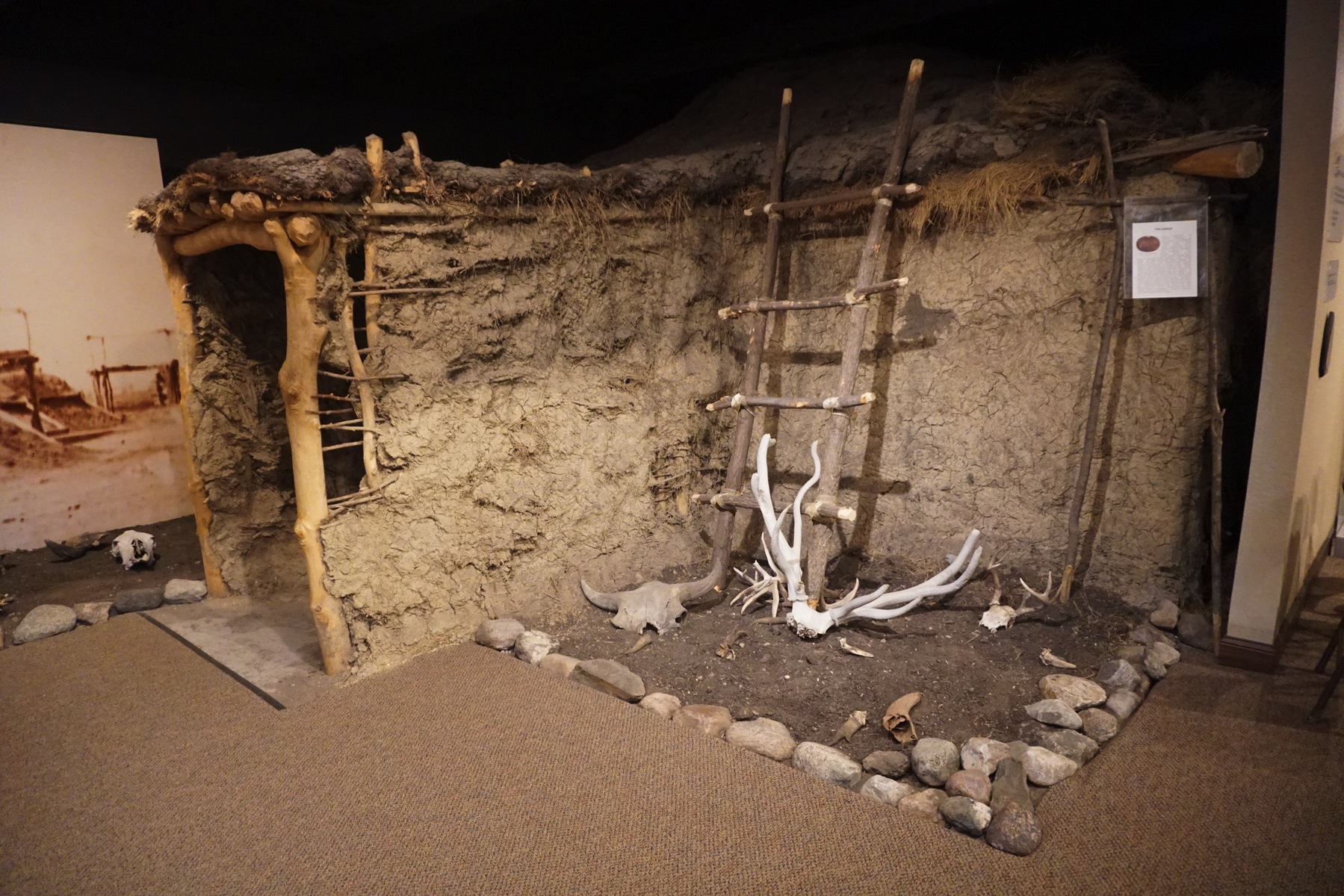
This Indian Lodge was made with clay, sticks and wood.
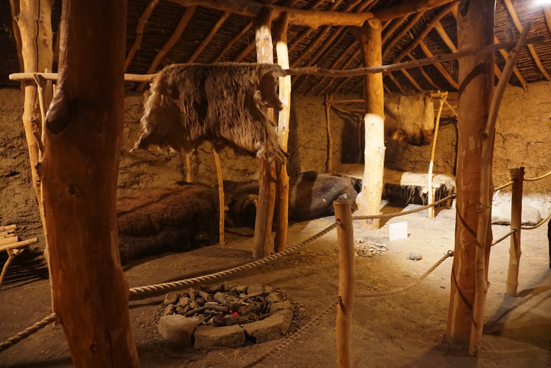
Multigenerational families would live together in the lodge with the children sleeping on the dirt floor.
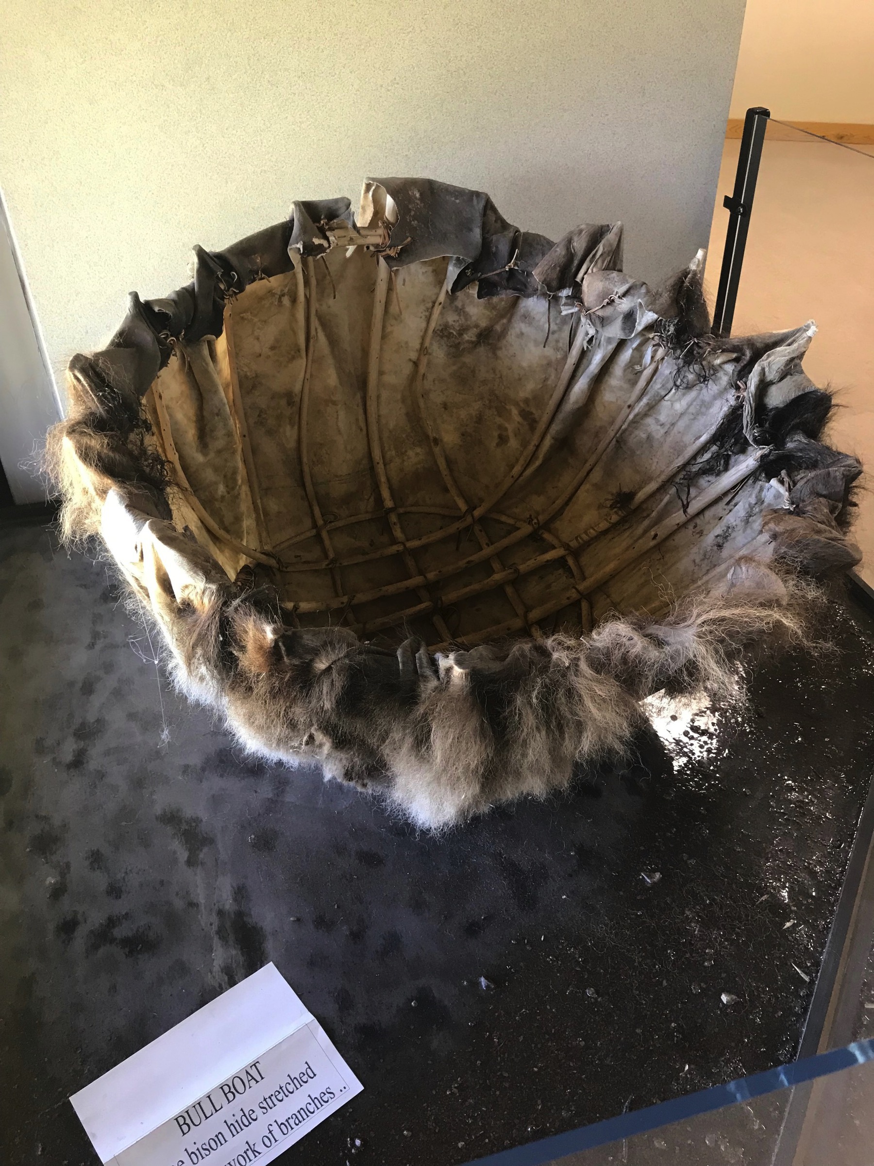
The first round boat I have even seen and this one is made from bison hide stretched over a network of branches.
The Corn Palace
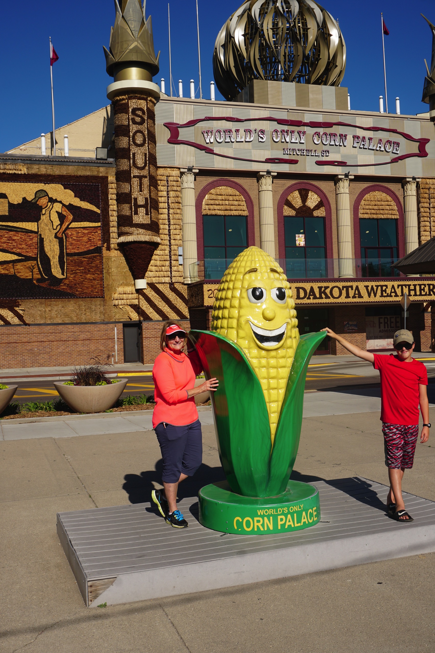
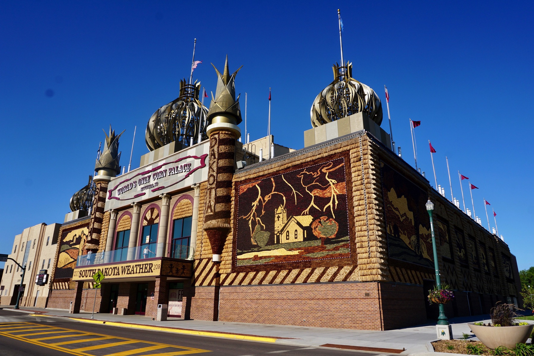
Our second site we visited today was The Corn Palace which I first visited when I was three years old.The exterior of the building is redecorated every year by local artists with murals made from corn and other grains. The Corn Palace is used as a basketball area, community events and as a venue for concerts.
file:///var/folders/1p/7x5qhvt5469dz8hymb148jqh0000gn/T/com
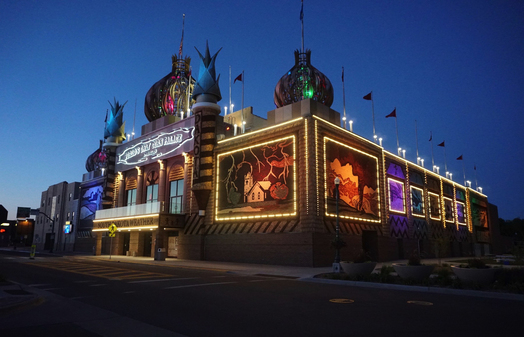
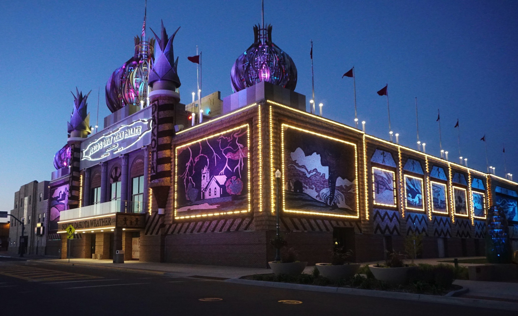
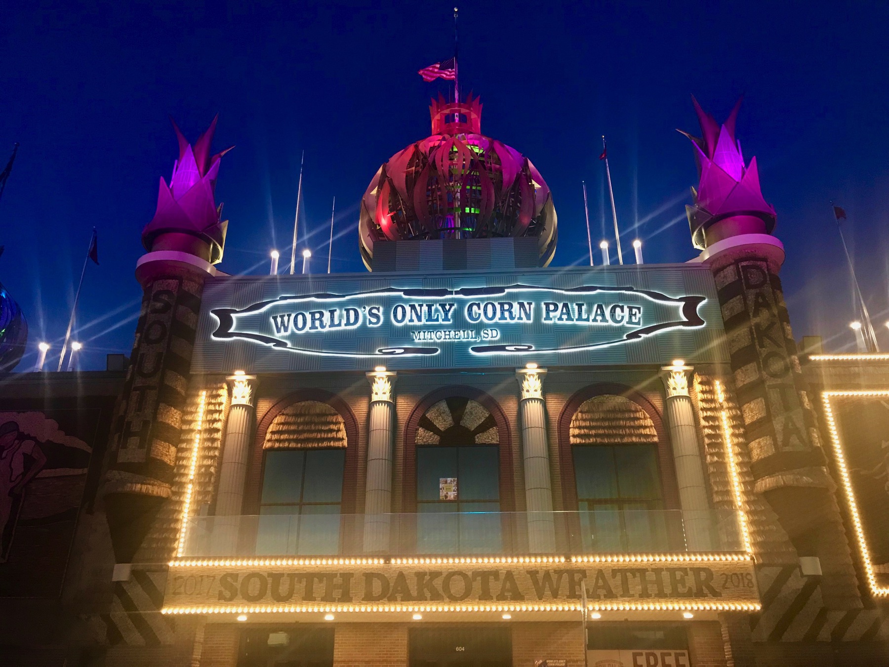
We went back tonight and watched as the Corn Palace was lighted.
-
Day 5 - WICHITA, Kansas to York, Nebraska
We went to the Coleman Museum to see all their different products from the past and then went to the Old Cowtown Museum, both of which are in Witchita.
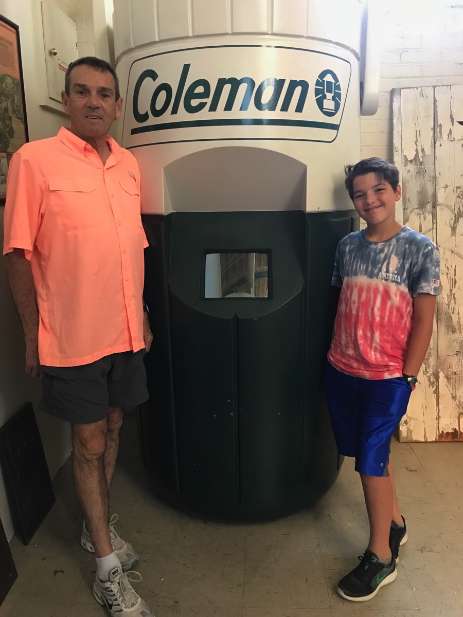
Cowtown
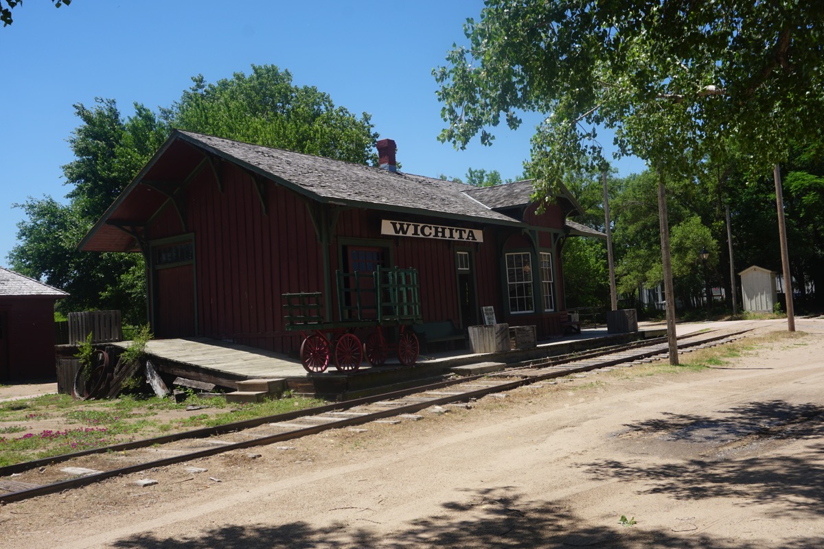
Old Cowtown Museum's collections reflect aspects of life on the frontier in the late 1860s and 1870s. They include historic structures and their period furnishings, clothing and domestic textiles, tools and machinery, farming equipment and rolling stock.
There are 54 historic and recreated buildings at Cowtown located along the banks of the Arkansas River. that are open to visitors all year long. Twenty-seven of the buildings are original and have been relocated to the grounds from Wichita and other sites in Kansas.
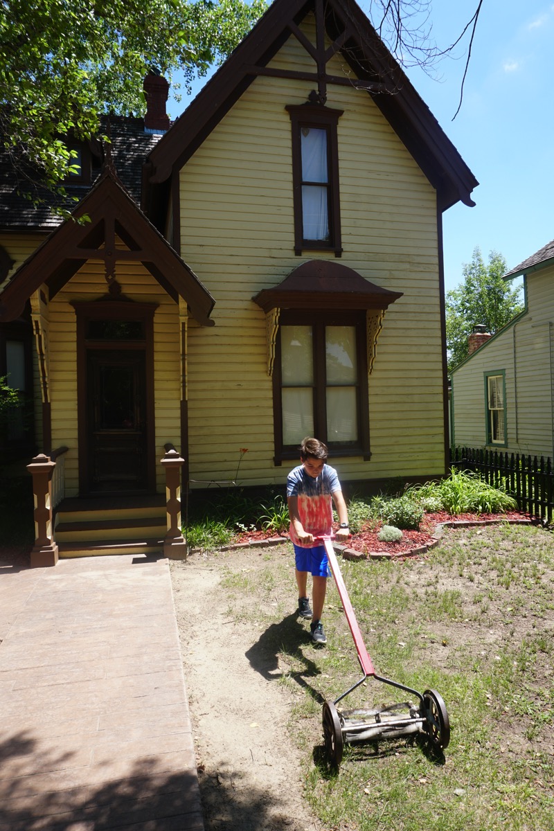
Ben was trying to mow the lawn with this lawnmower. Actually, I remember when my dad had one like this when I was young.
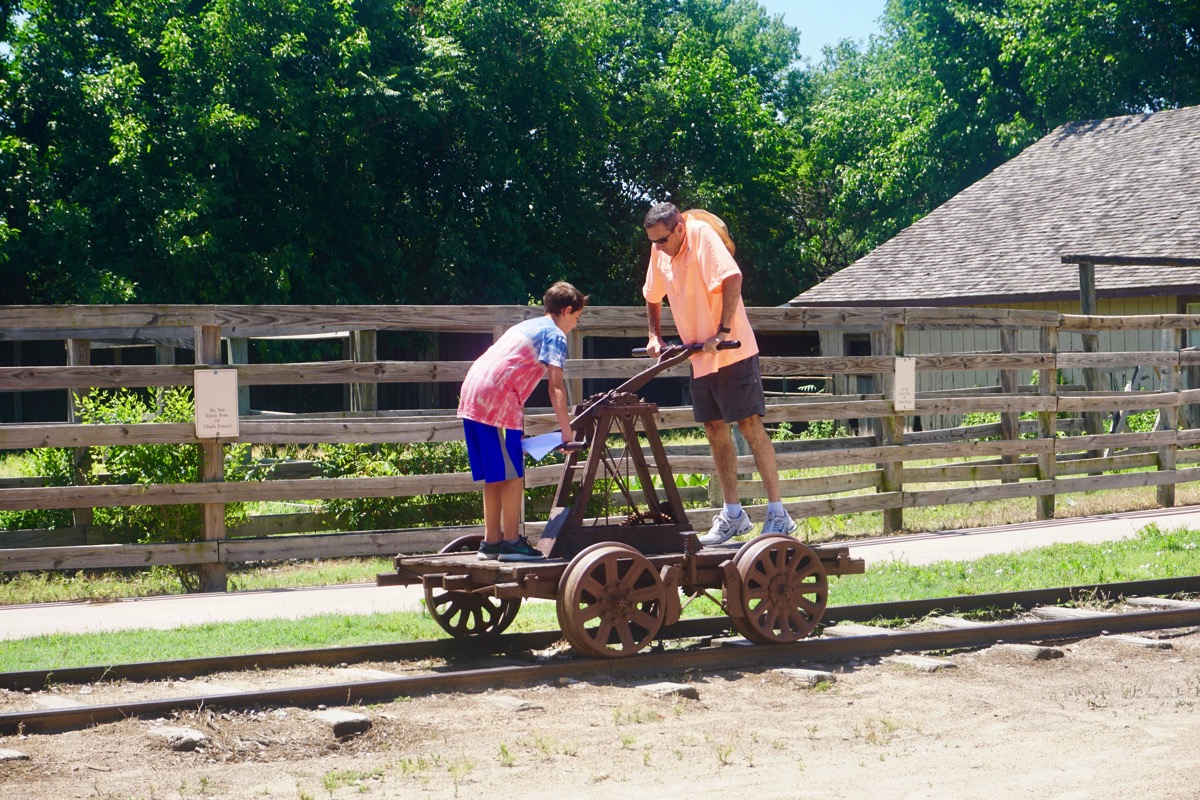
We just happened to be there the one day during the month when they get an organized baseball game together with the rules for the game like it was in the 1880’s. No mitts were worn back then and a player could catch a ball after it bounced once on the ground to get a player out. Most of the team where men, but Ben was asked if he wanted to play and he was very excited to play. They gave him a uniform to wear. During the game he made a double play and got two players out.
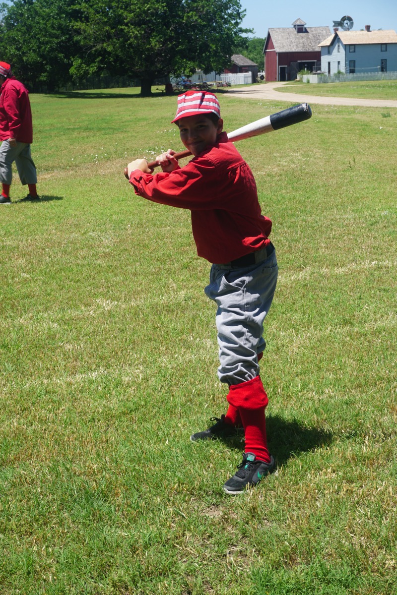
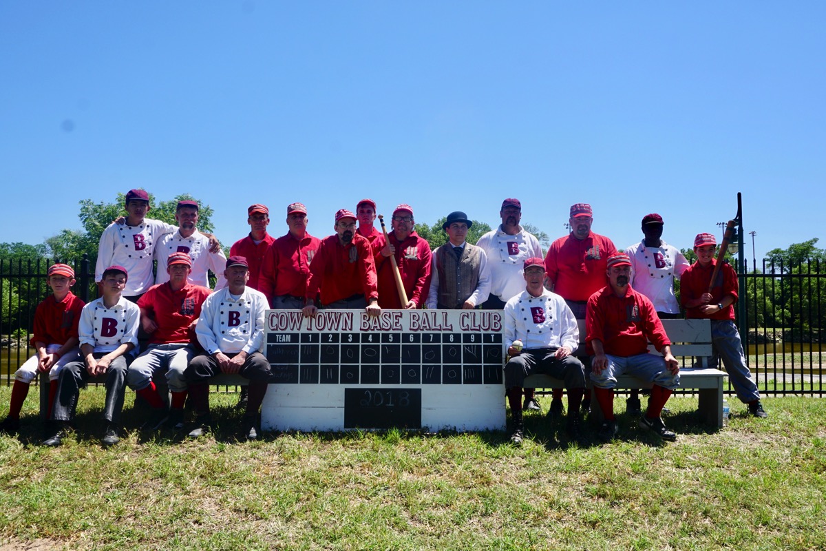
Afterwards we watched a reenactment of a gunfight on main street and then had western pictures taken before heading back to the camper to leave town. We left Wichita around 5:00pm to drive to York, NE. We arrived at 9:30PM and stayed at the York KAMP ground. We didn’t finished cooking and eating dinner until 10:30. We’ve driven the motorhome 931 miles so far .
.
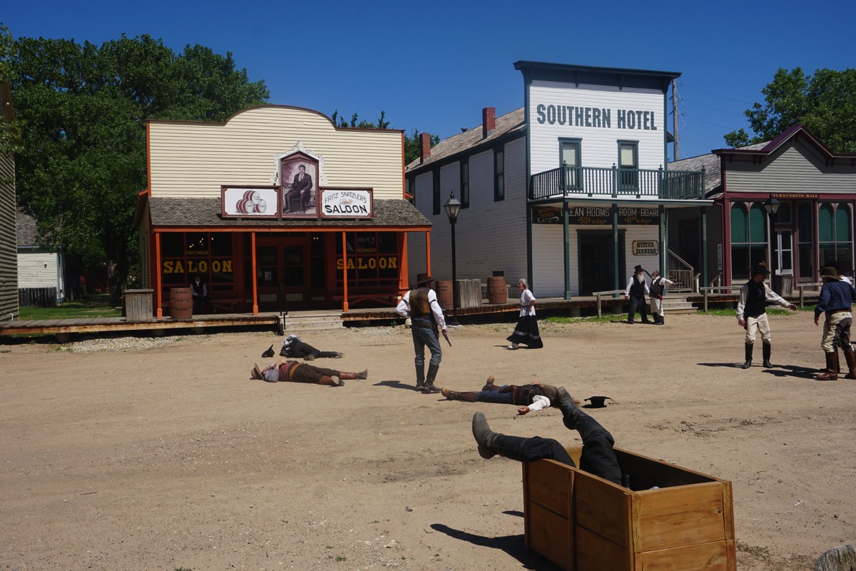
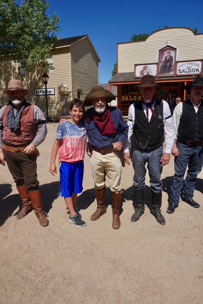
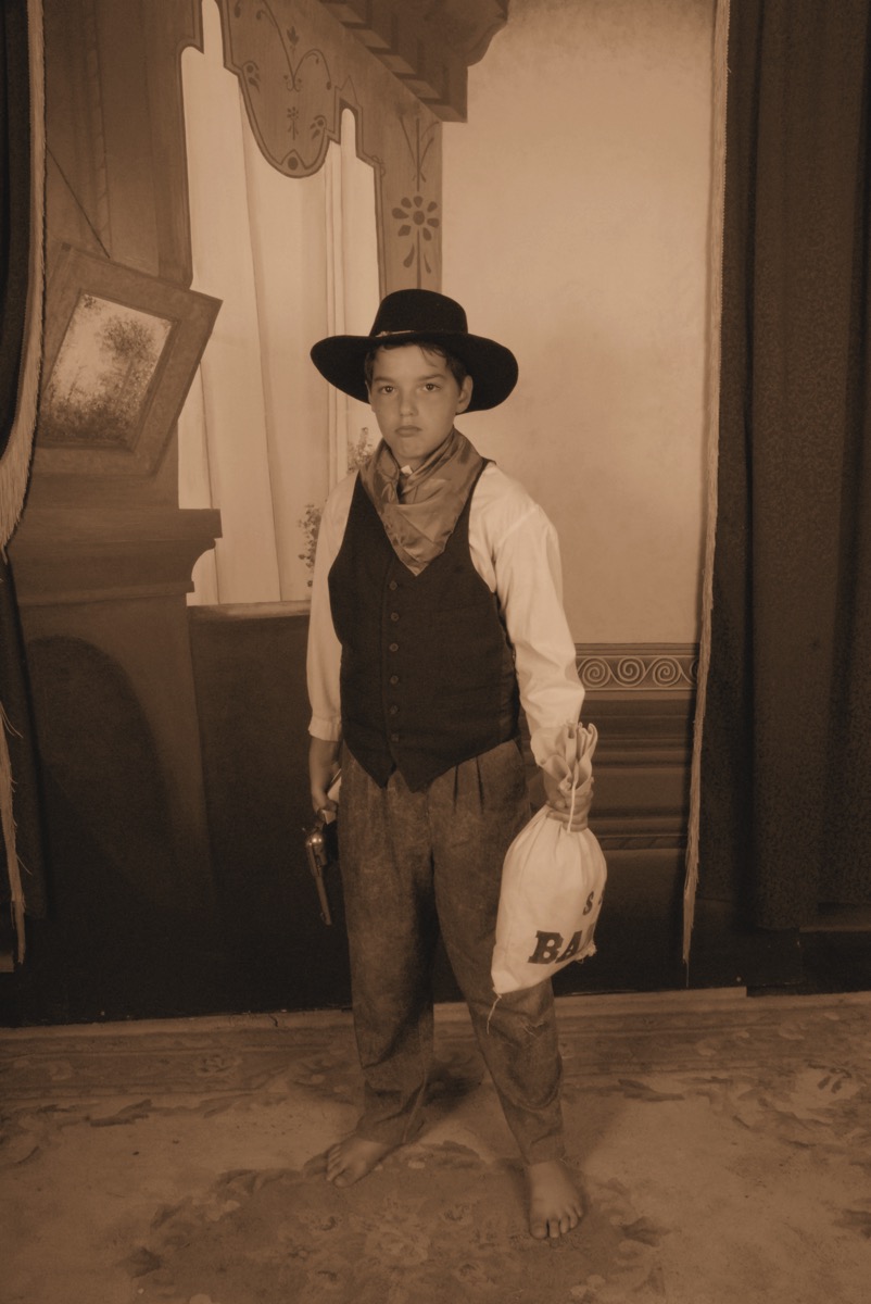
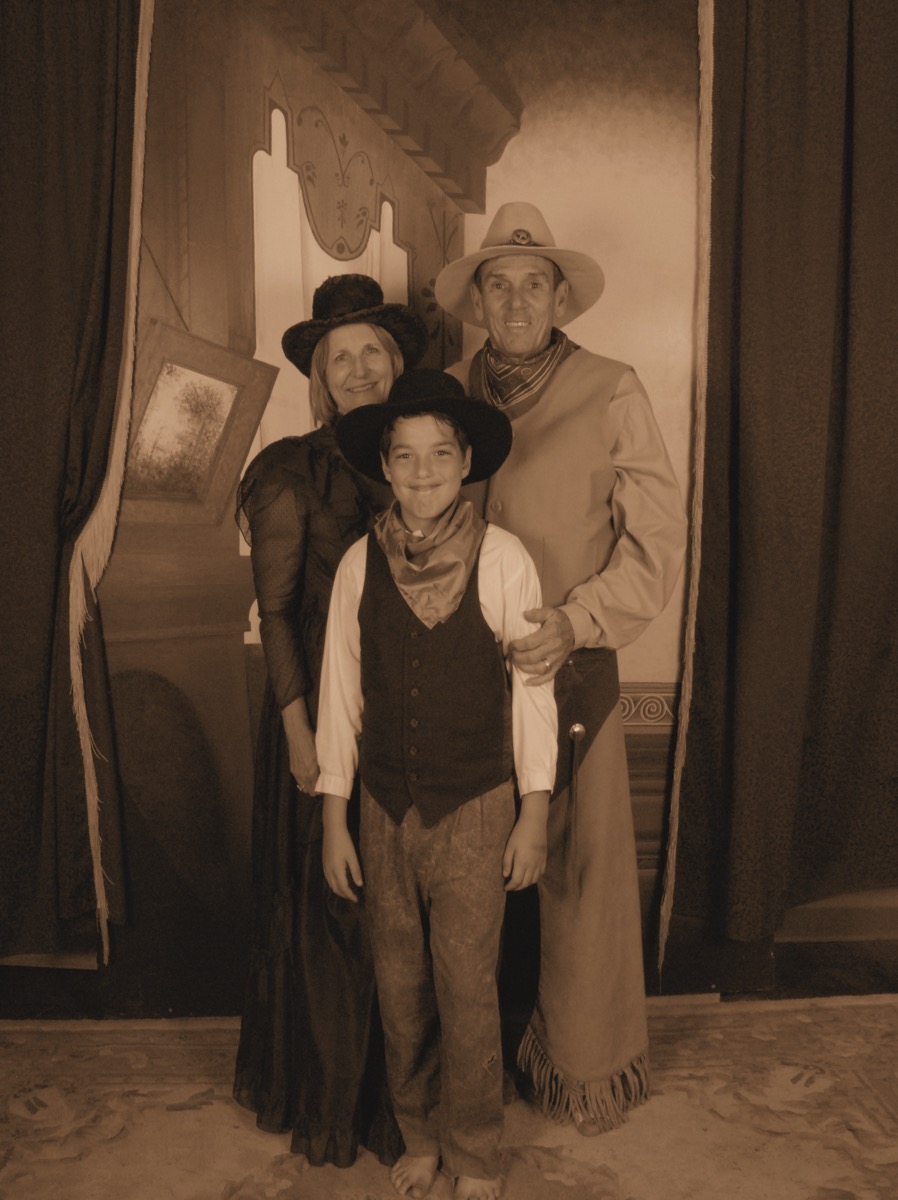
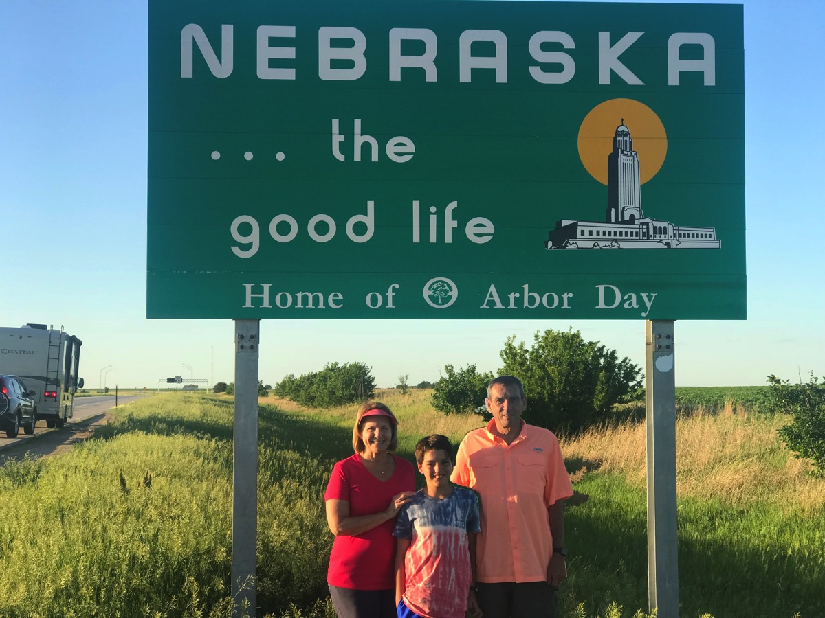
At the end of the day we were at 931 miles in the motorhome and stopped for the night at the York KAMP RV park at 9:40PM when Tom grilled steaks and I fixed the rest of our meal. Late dinner. Temperature was 64 degrees at that time!
-
Day 4-WITCHITA, KANSAS -
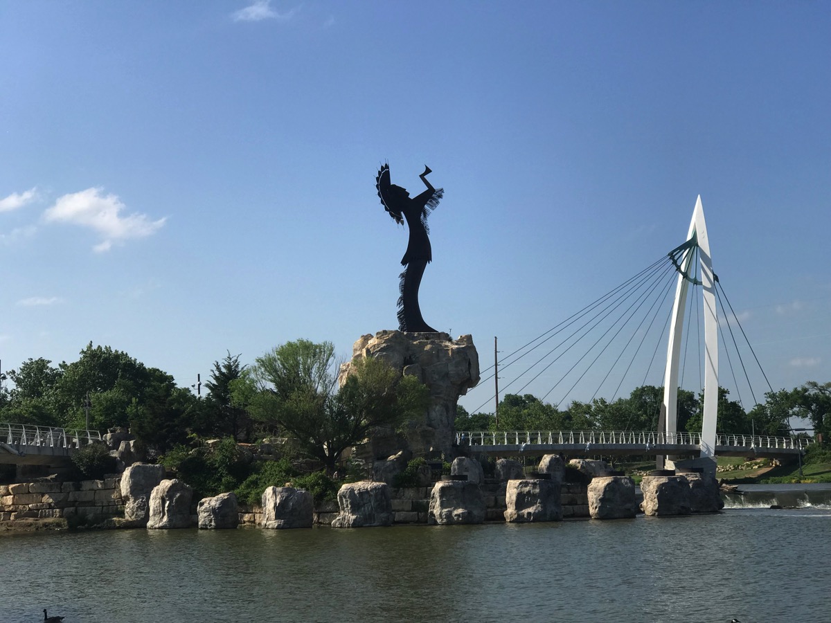
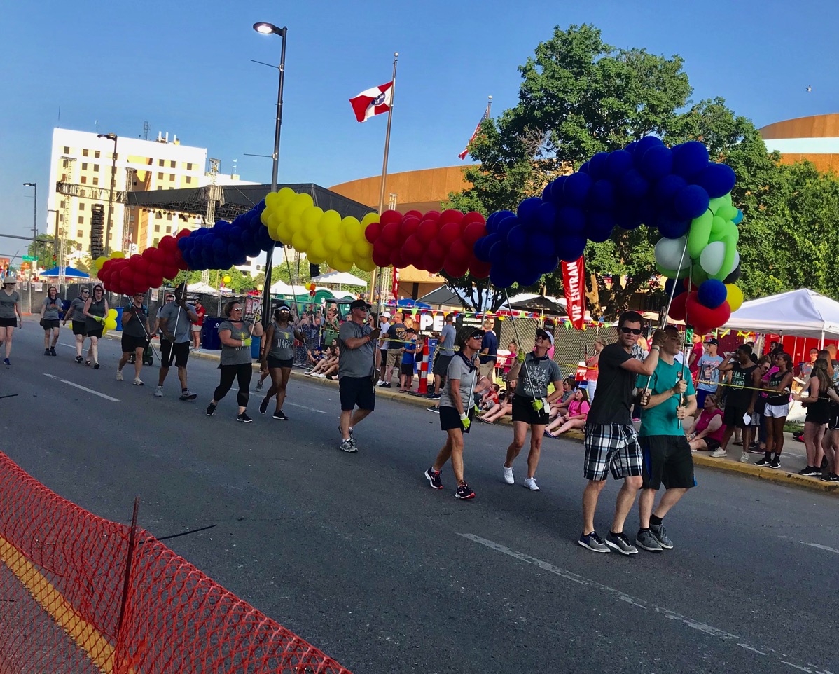
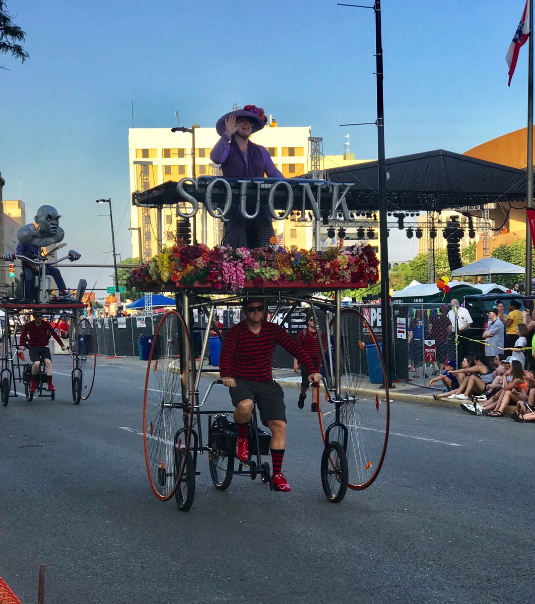
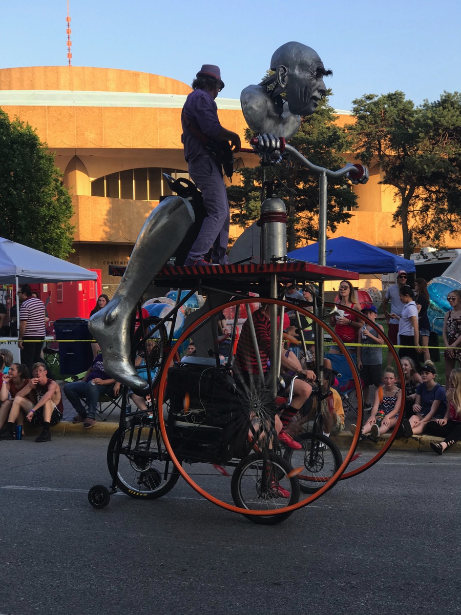
Arrived at the RSI RV Park In Wichita around 4:00 this afternoon. it was sunny and hot with a temperature of of 92 (supposed to fall to 72 during the night). We found out about a nice bicycle trail along the Arkansas River, so we drove to the trail and rode 6 miles. We had hoped to ride further, but part of the trail was closed because it lead into the downtown area where the city was celebrating Riverfest.
The festival started tonight and will last 10 days. We decided to stick around for the parade which seemed to have every single emergency vehicle imaginable blowing their sirens as they passed. There were police on horses and on bicycles, shriners riding crazy little cars, every sports team imaginable... surely every single group in the whole city was represented, mostly walking. LONGEST (and most boring) parade ever! …and only one band was marching and playing.
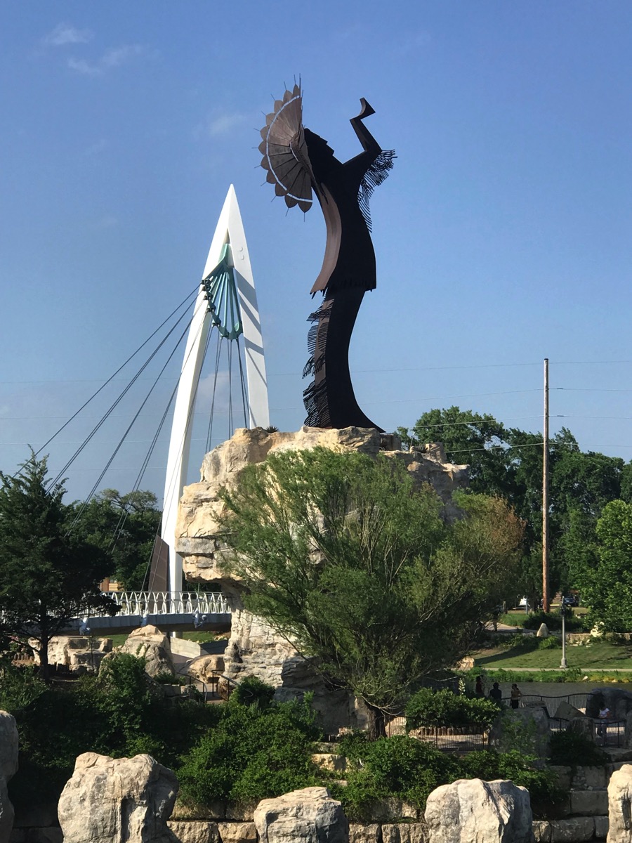
After the parade we waited in a long line for ice cream and then drove back to see the Keeper of the flame lit up. Fireworks followed at 10:00 and we watched those in the car as we were trying to get back to our campground.
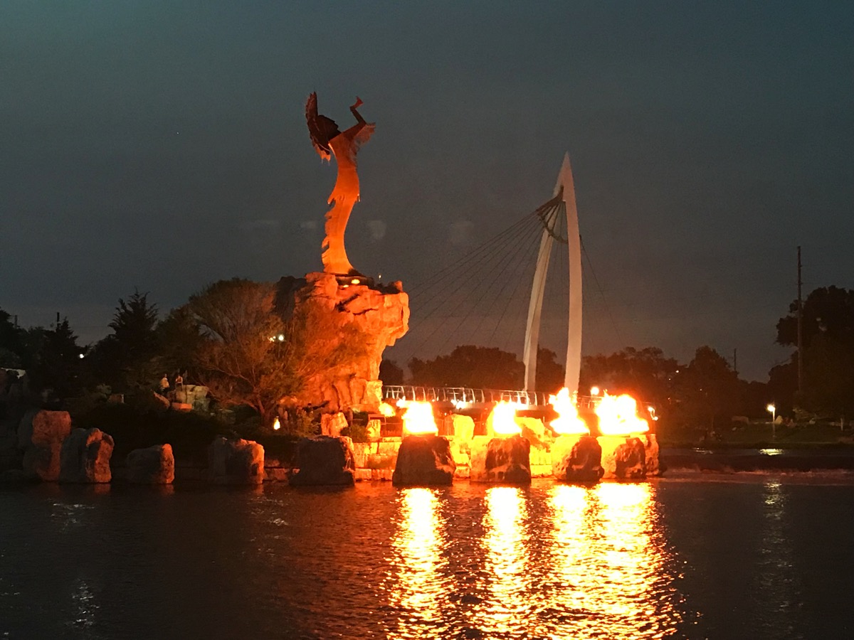
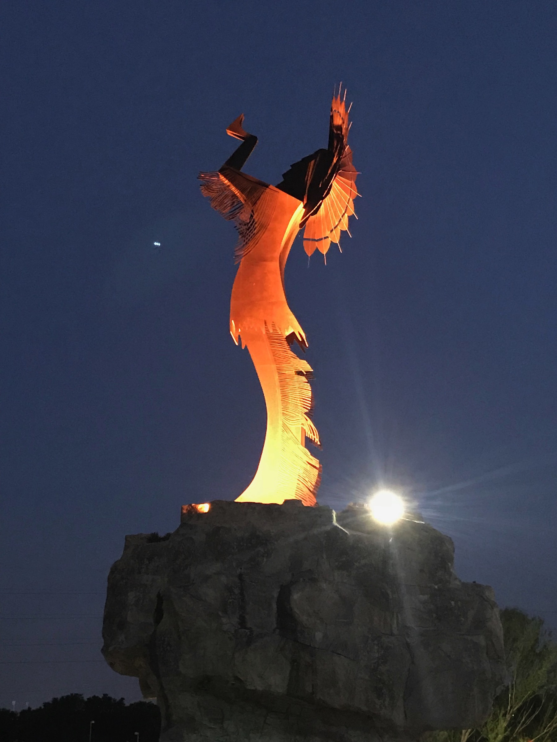
-
Day 3 - Turner Falls, Davis Oklahoma
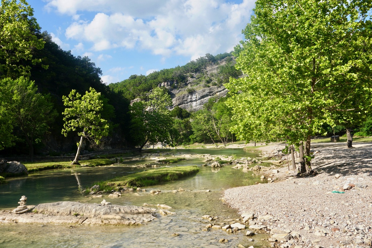
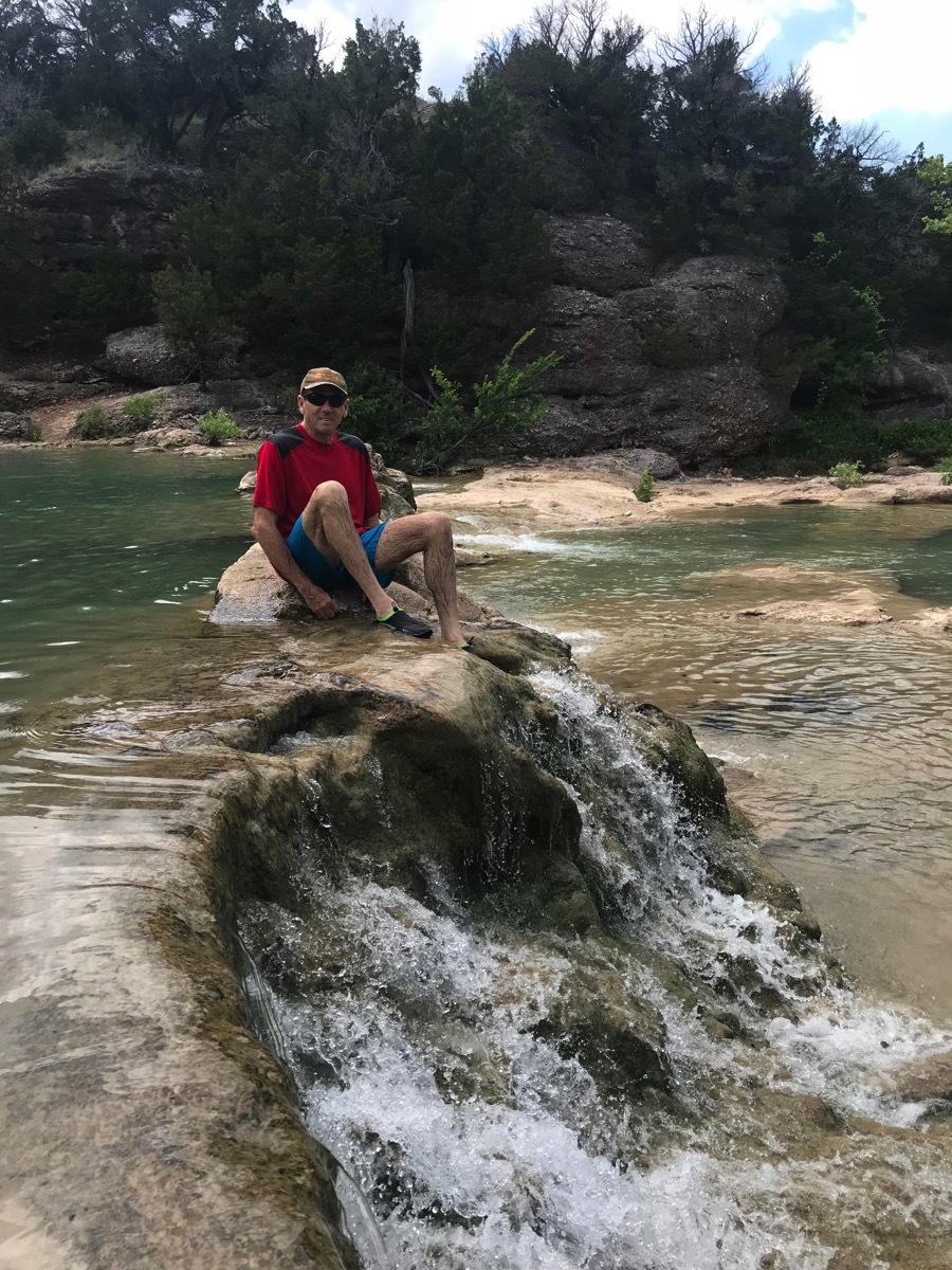
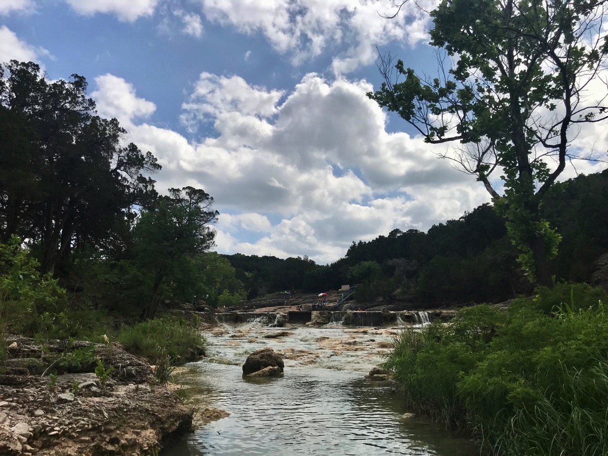
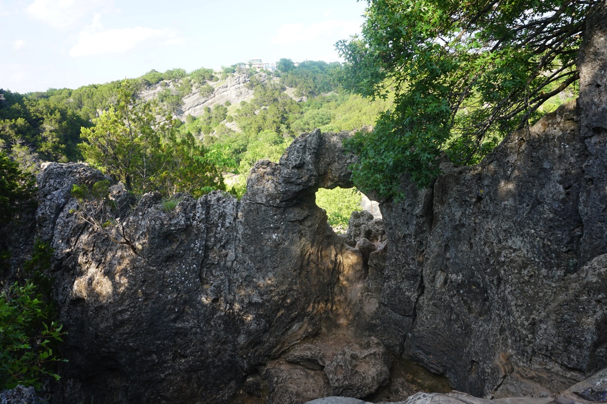
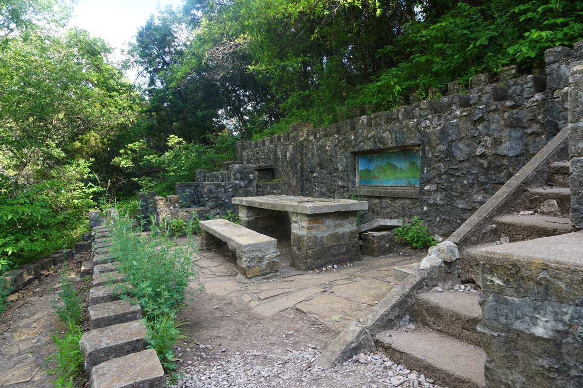
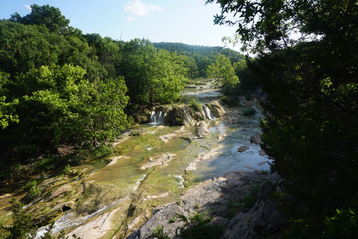
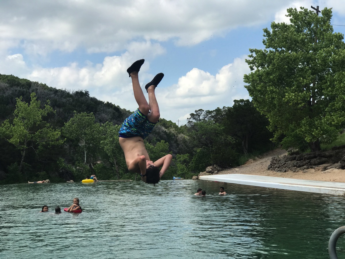
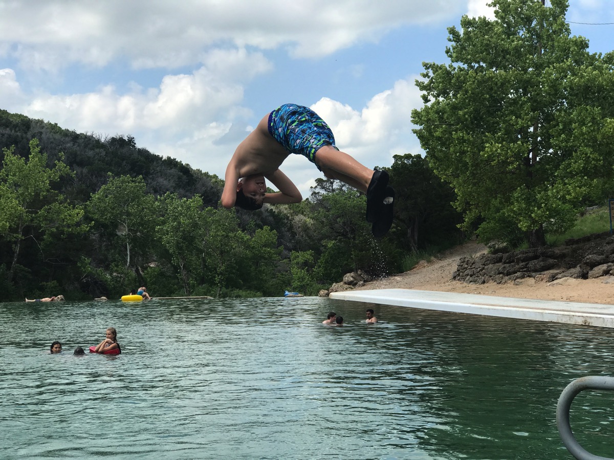
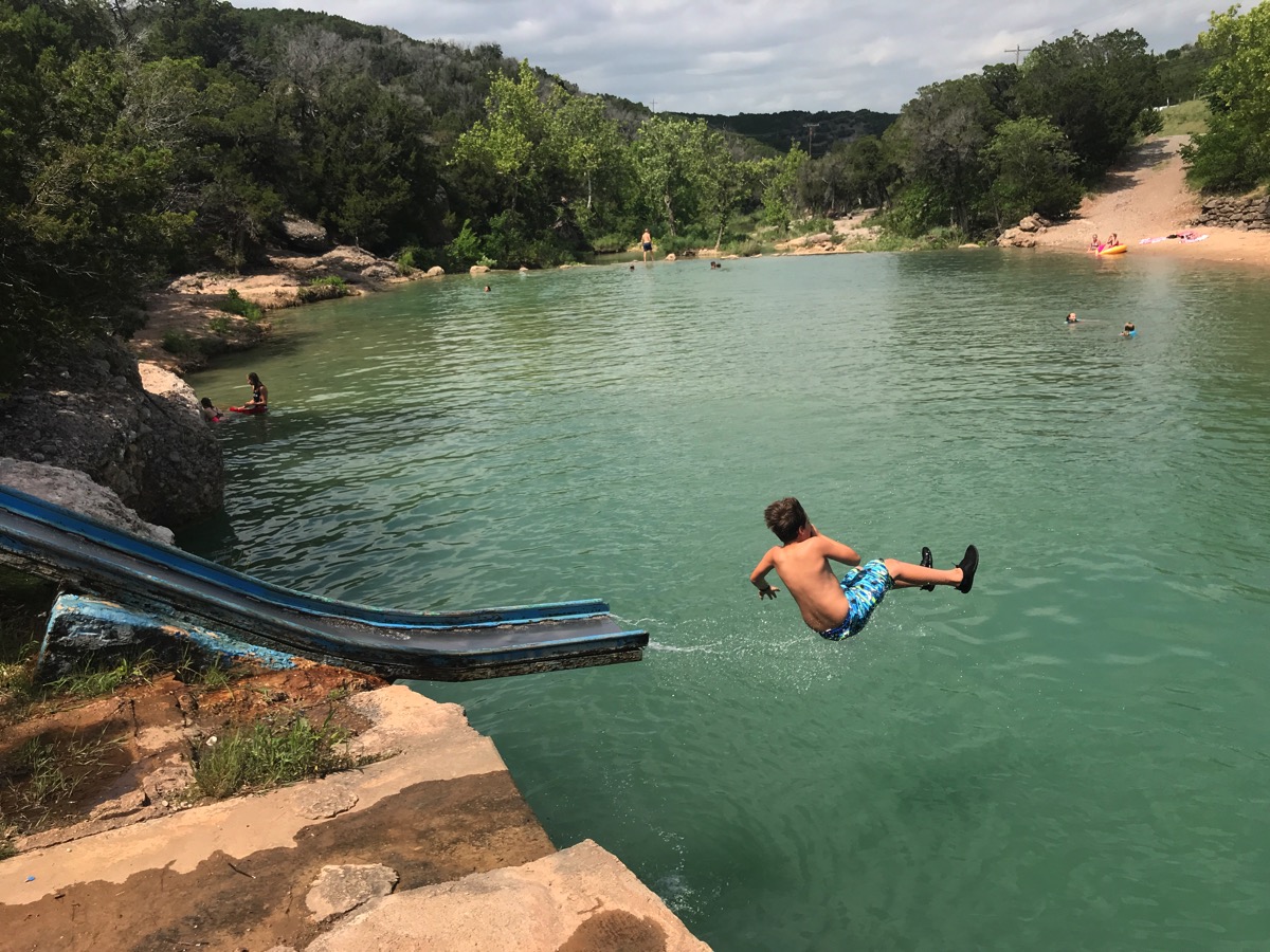
Today we drove from Lewisville, Tx to Turner Falls State Park in Davis, OK. We came here with some of the boys when they were young and had good memories, so we wanted to share this place with Ben. We arrived early in the afternoon and spent the rest of the day in the water. Ben had such a good time on the slide and diving board. After swimming we hiked to a deserted “castle” built in 1930’s and then swam to and under the big waterfalls.
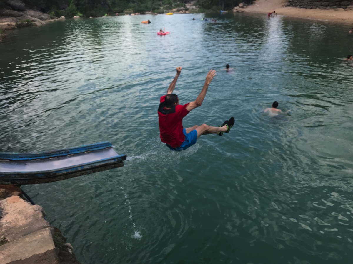
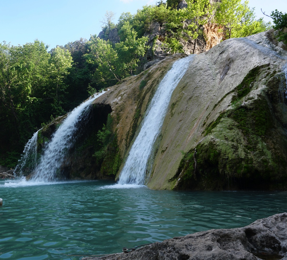
 DSC02132