-
Cairo to Memphis and Saqqara
After flying from Athens to Cairo yesterday, today we booked a private tour from Cairo to the World Heritage site of Memphis and the Saqqara Archeological Site and Museum.
The major metropolitan area of Cairo has over 20 million people. The traffic lanes on the highways are merely suggestions because the cars weave back and forth between lanes, drive in between the lanes, and in some cases even drive in the wrong direction honking their horns as they go. Add to that the occasional horse and buggy, donkey, heard of goats and sheep and the ride is truly treacherous.
The city is absolutely filthy. Everywhere we looked there was trash and layers of sand and dirt. In the city everyone lives in high-rise apartments like in many cities, but many of the buildings are unfinished, covered with dirt and looked like slums. I am looking forward to seeing a broader view of Egypt when we start our group guided tour on Friday.
On the way to our first stop in Memphis, we saw the following interesting sites!
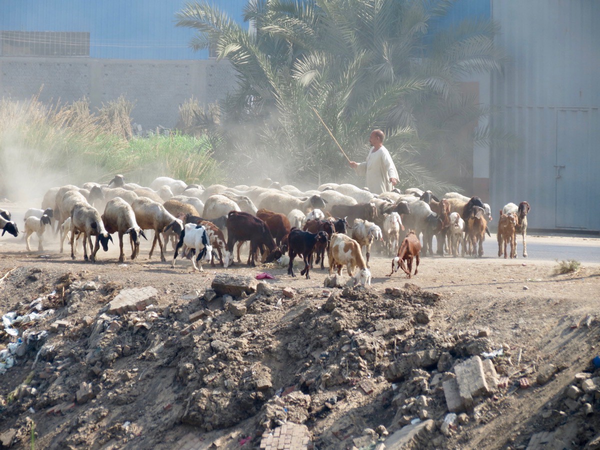
Herding sheep and goats along the road!
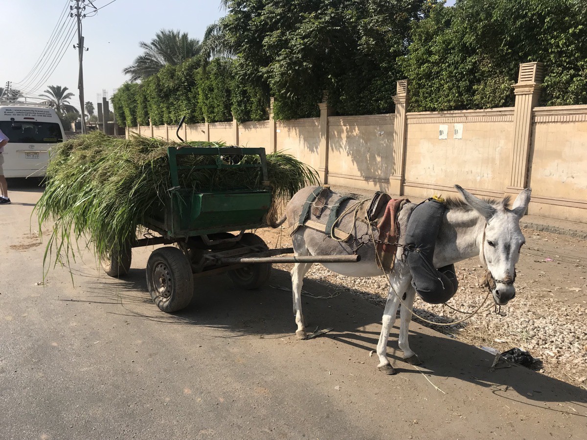
A donkey pulling a load of grass down the road.
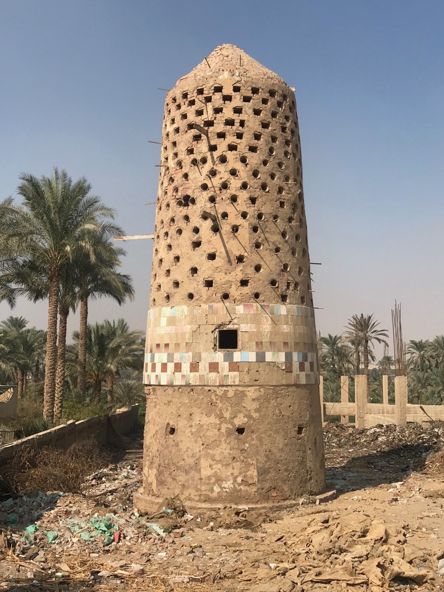
Pigeon sanctuary
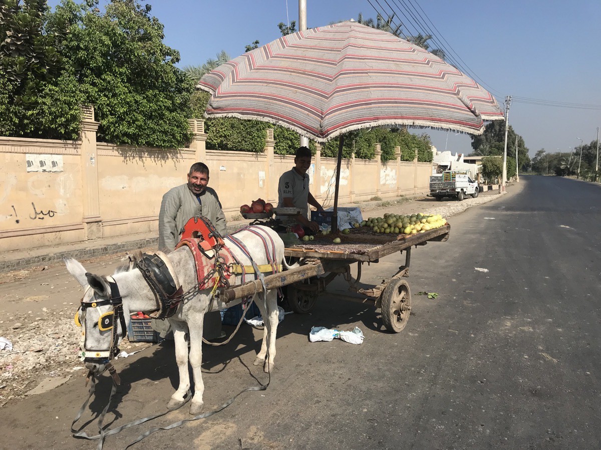
Fruit for sale
Memphis, Egypt
Memphis was the ancient capital of Inebu-hedj, the first territorial division of Lower Egypt. Its ruins are located 12 miles south of Giza on the west bank of the Nile.
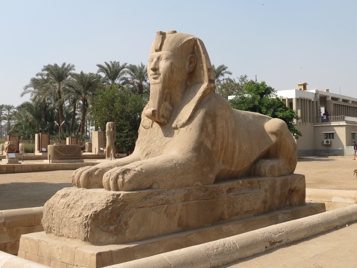
The alabaster sphinx found outside the Temple of Ptah. The carving was believed to take place between 1700 and 1400 BC, and is 26’ X 13’.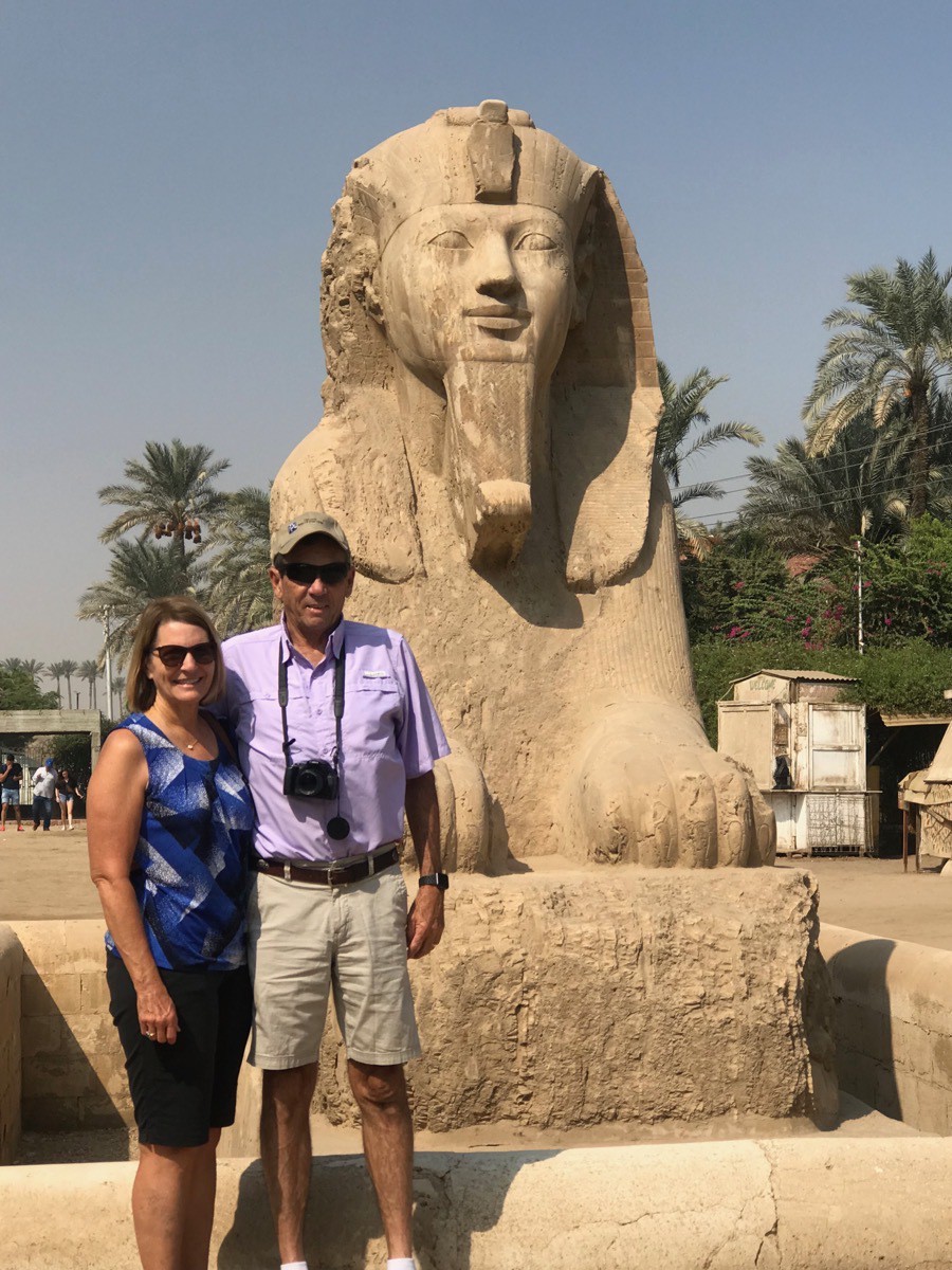
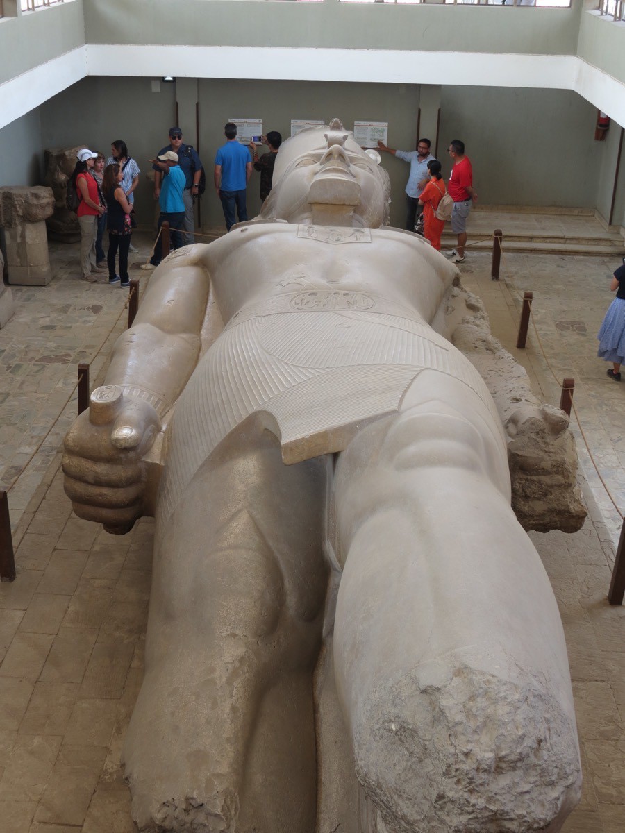
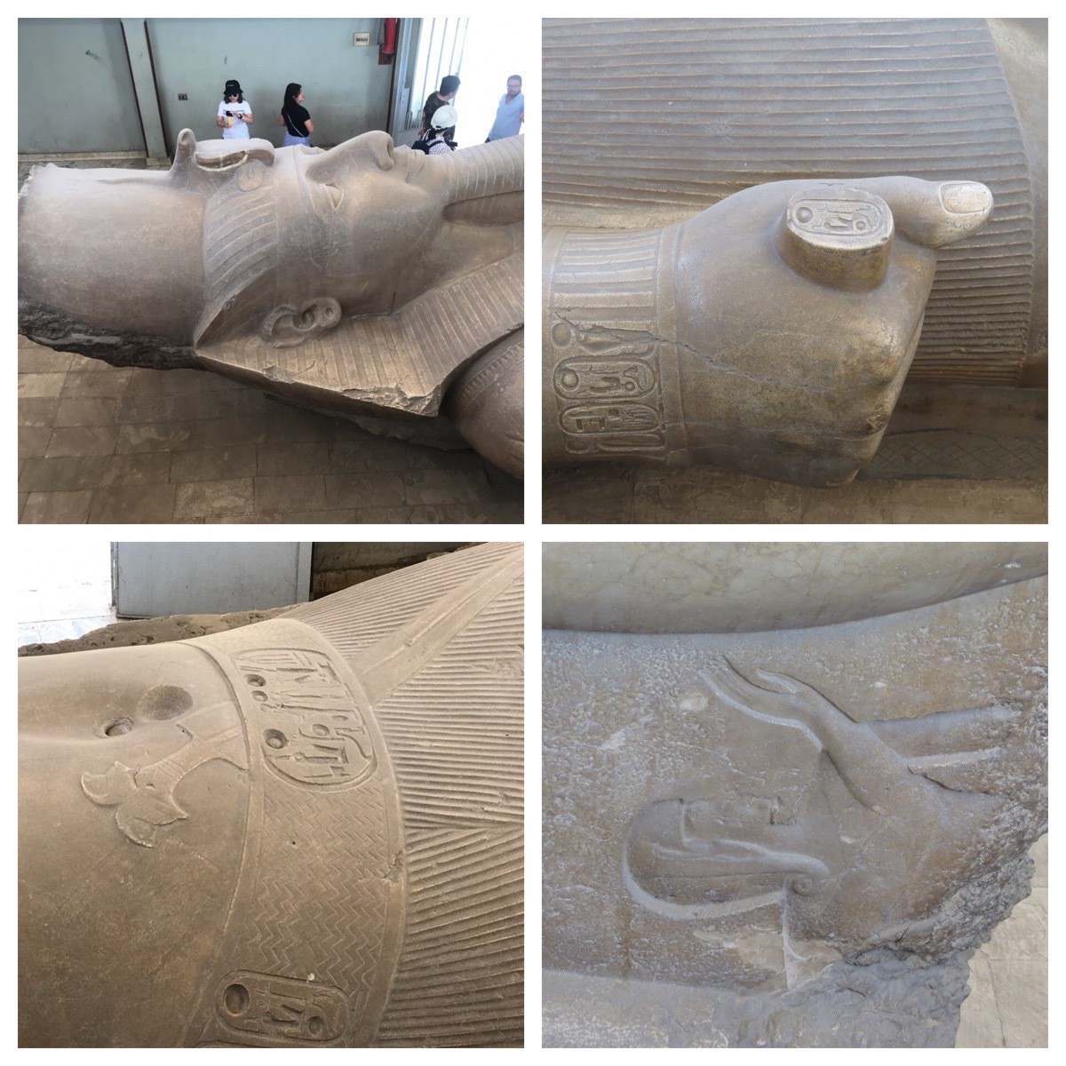
A 3,200-year-old figure of Ramesses II was discovered in 1820 by Giovanni Battista Caviglia at the Great Temple of Ptah near Memphis, Egypt. It is made from red granite. It is over 36 feet tall and weighs 83 tons.
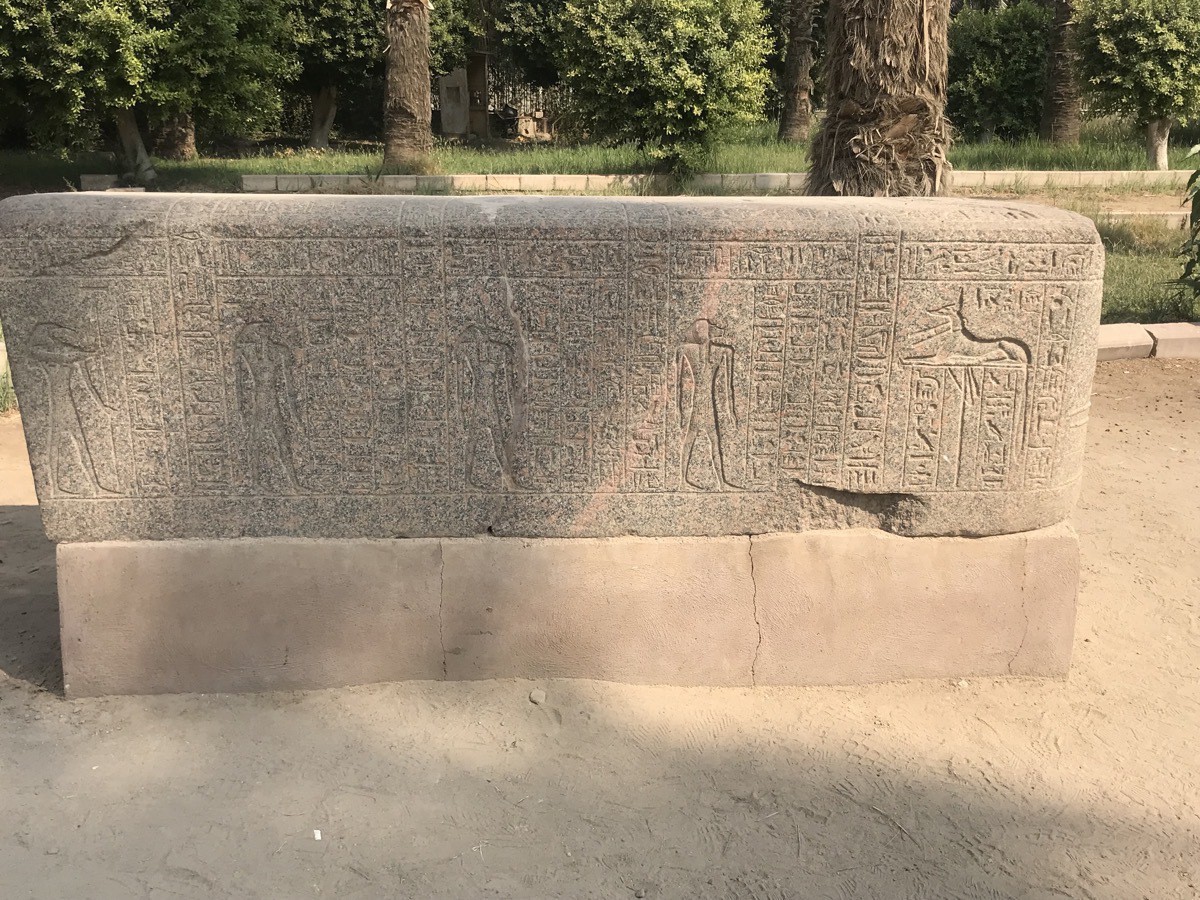 The lid of a sarcophagus which was used to protect the coffin. (The bottom was plan and shown separately)
Saqqara Archaeological Museum Site and the Imhoteb Museum
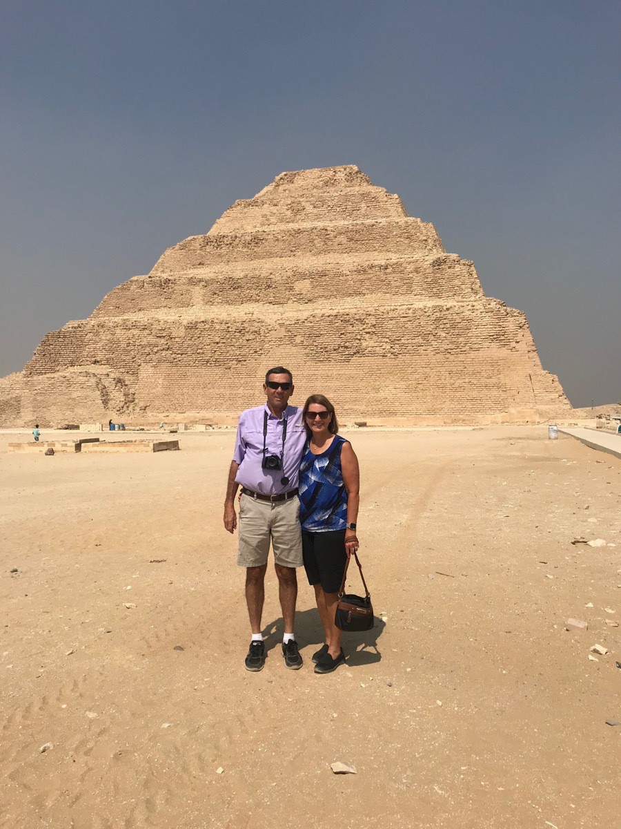
Saqqara is a burial ground for the ancient Egyptian Capital of Memphis. Saqqara features numerous pyramids, including the world-famous Step pyramid of Djoser and is located 19 miles south of Cairo. Saqqara covers an area of around 4.35 by 0.93 miles. The Step pyramid is the oldest complete stone building complex known in history.
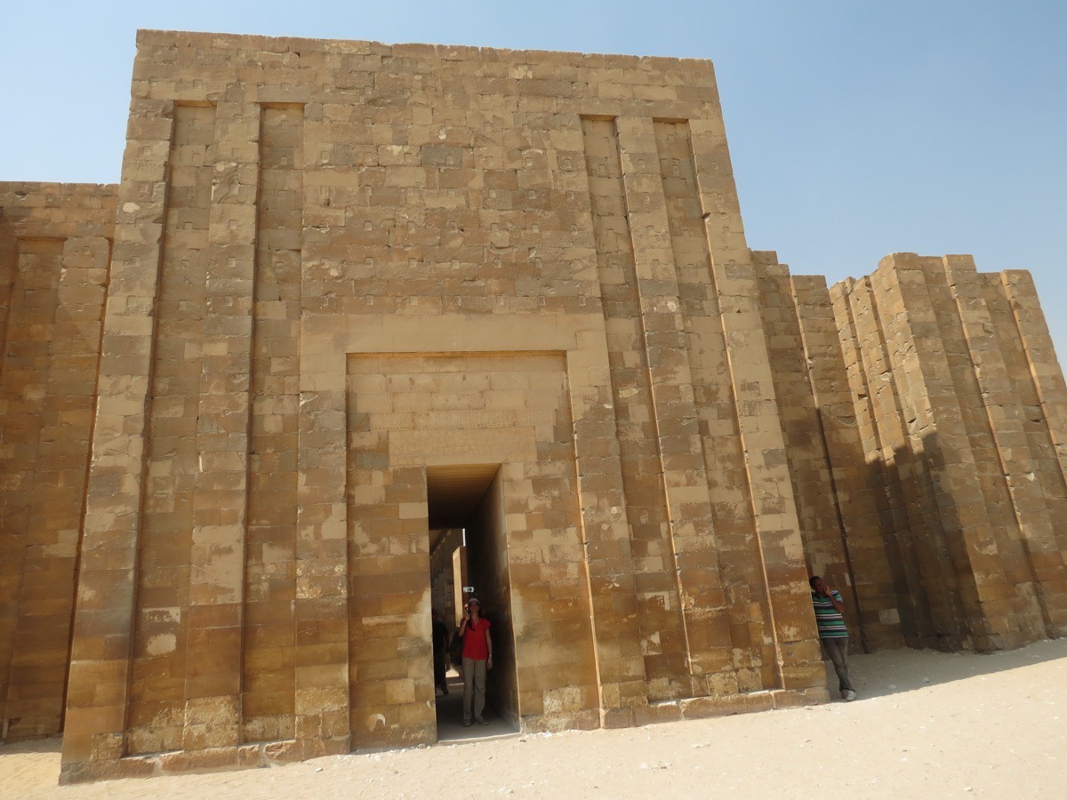
At one time the entire area of the great pyramids were surrounded by this wall.
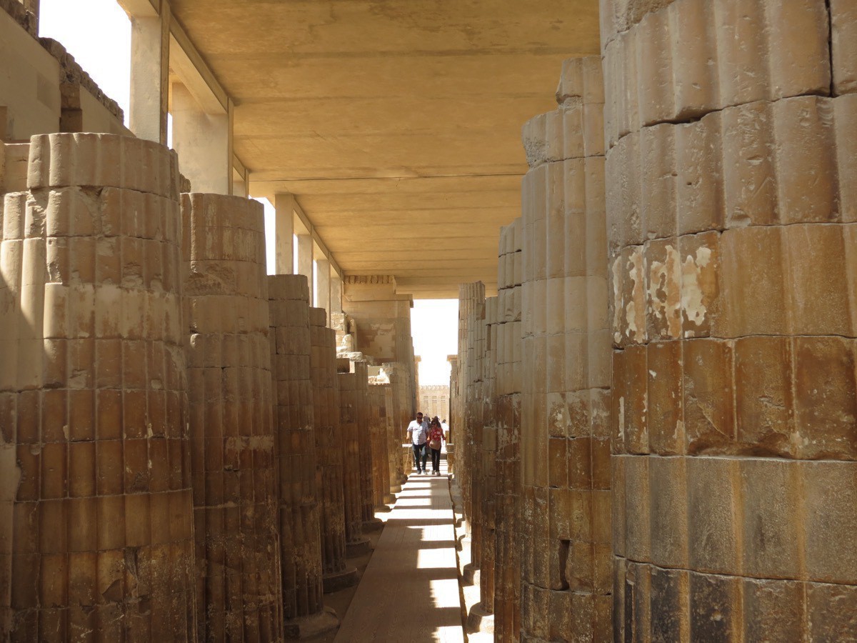
The walkway past the wall toward the pyramid.
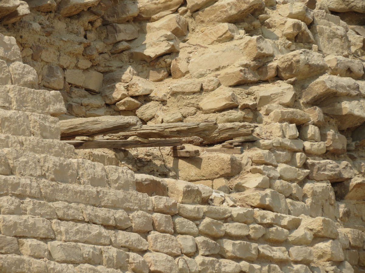
Original wooden beams extending from the side of the pyramid.
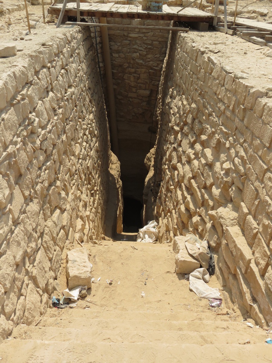
The entrance into the pyramid
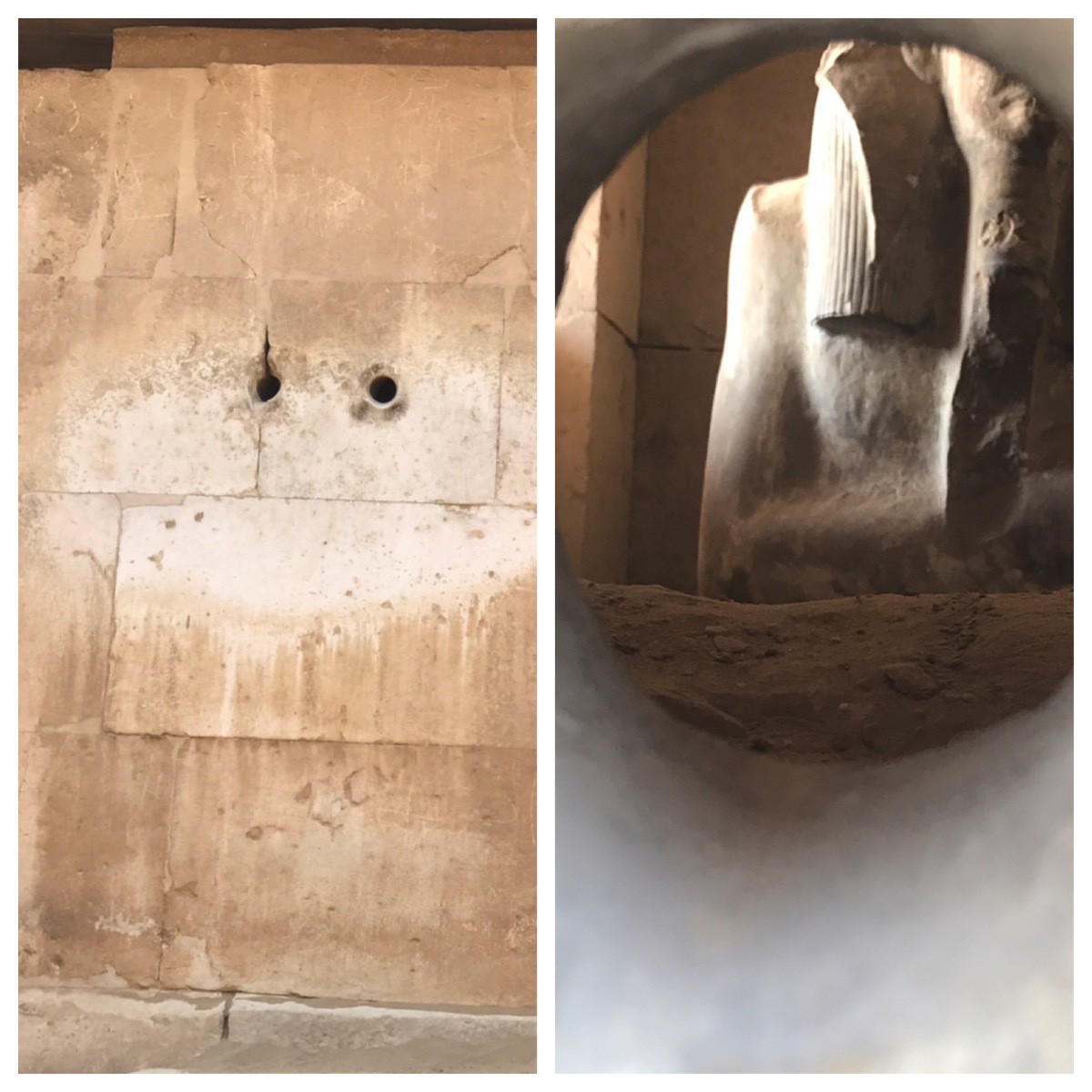
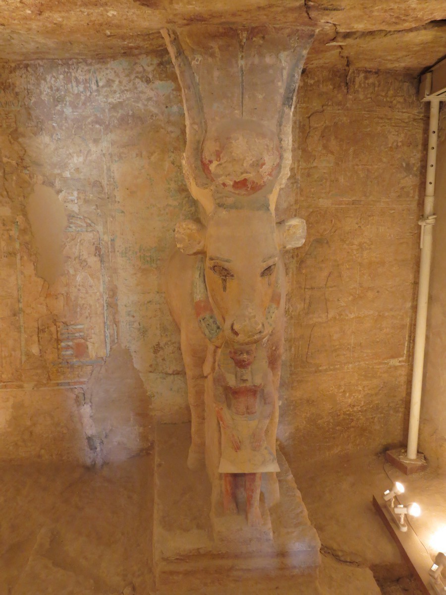
When we peaked through the holes in the wall of the pyramid near the entrance, we saw this statue inside.
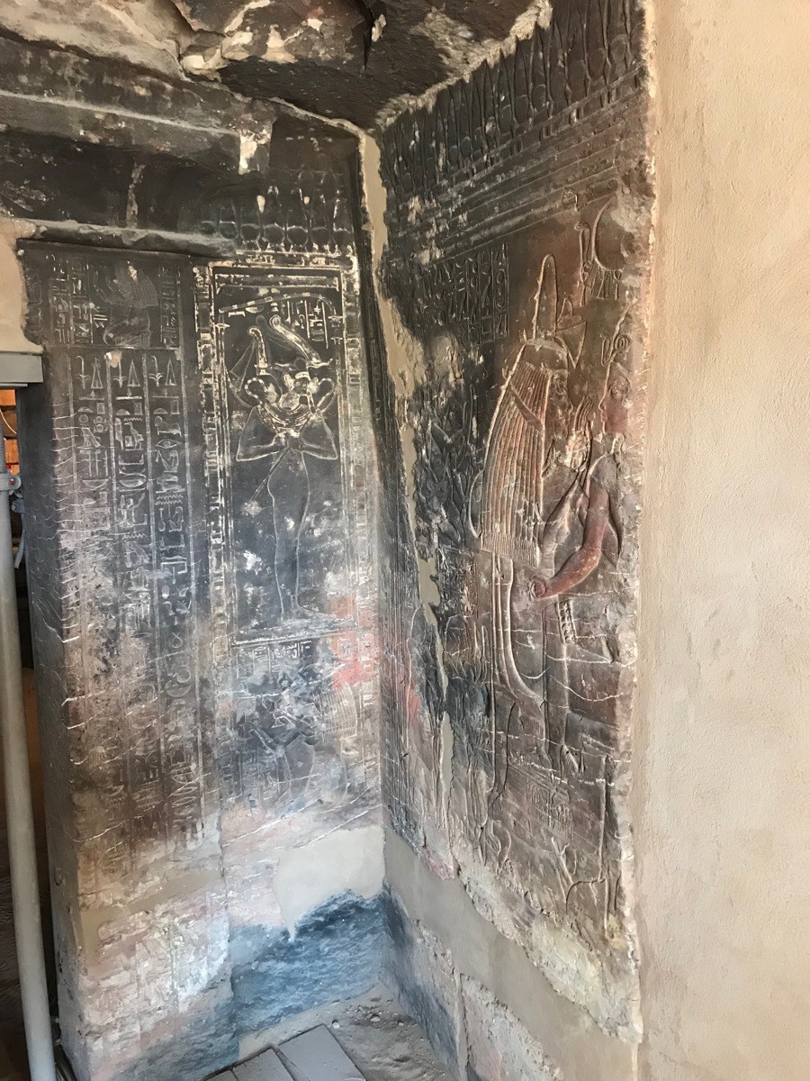
Inside the tomb of the wet nurse of the pharaoh. The other pictures are from this tomb and one other.
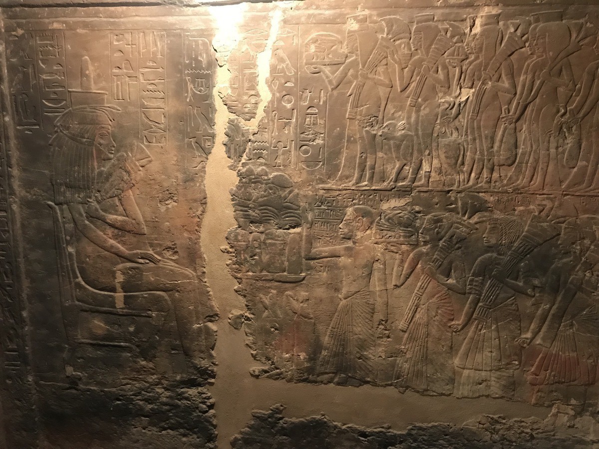
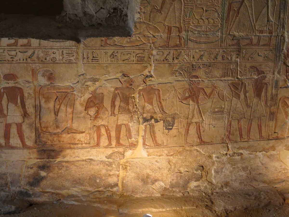
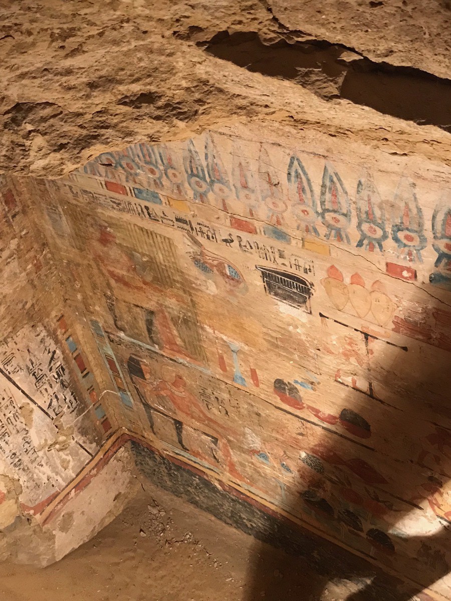
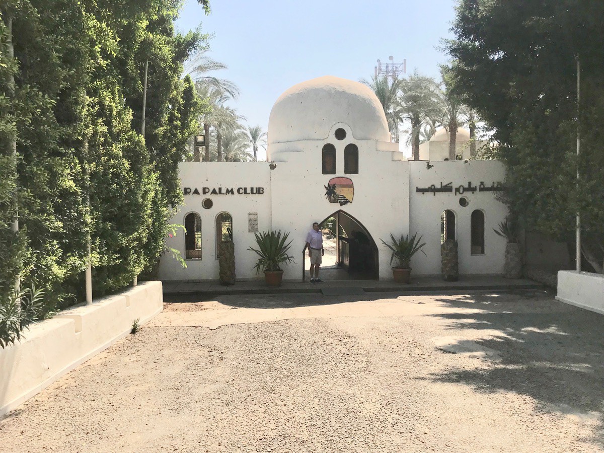
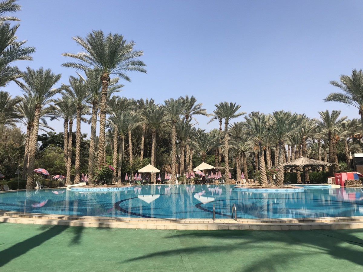
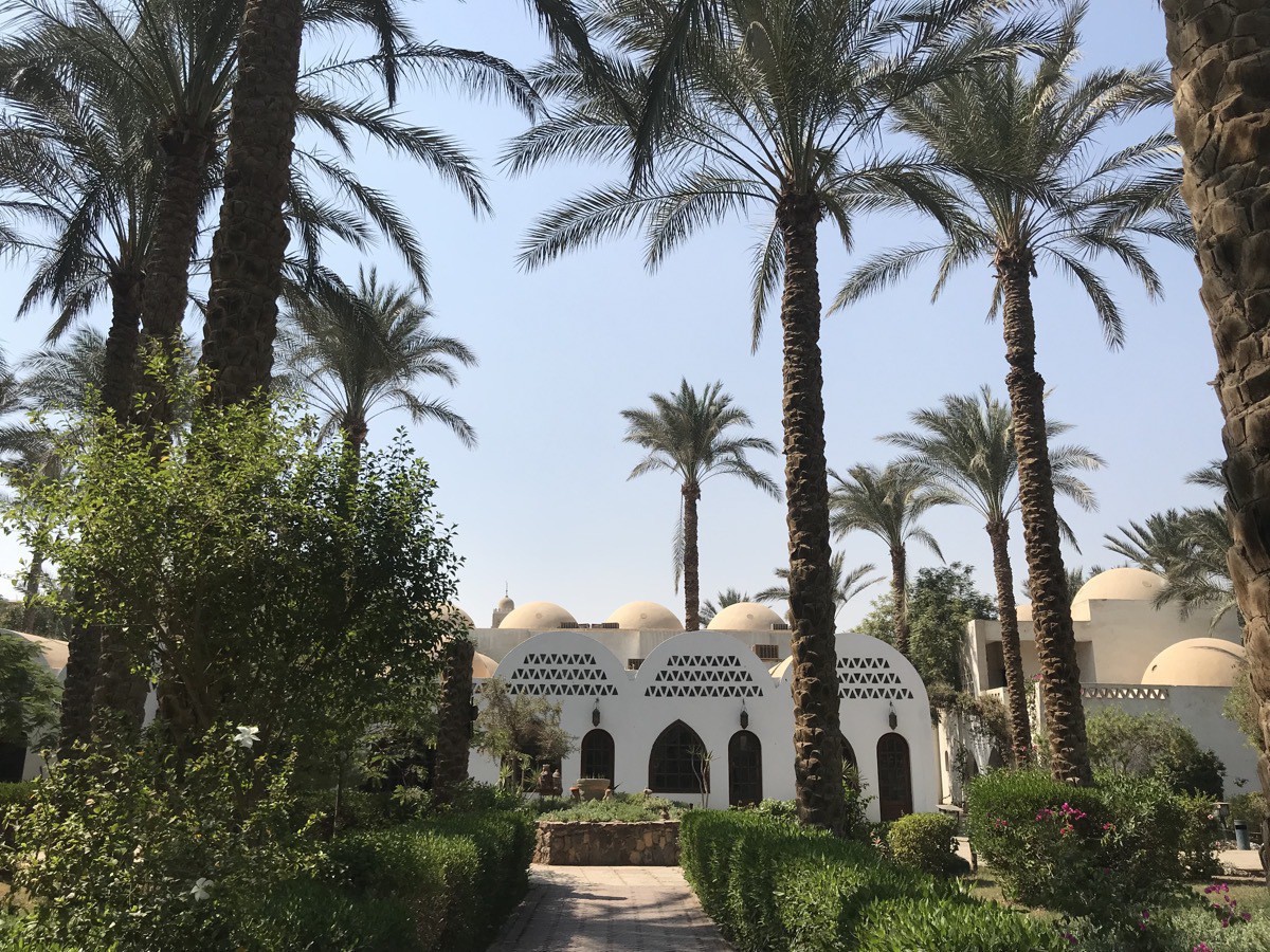
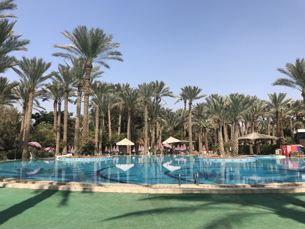
After our visit to the museums and archaeological sites, we enjoyed a wonderful buffet lunch at the Saqqara Palm Country Club.
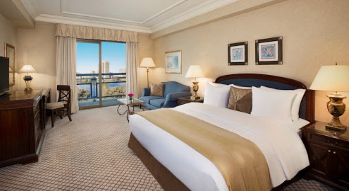
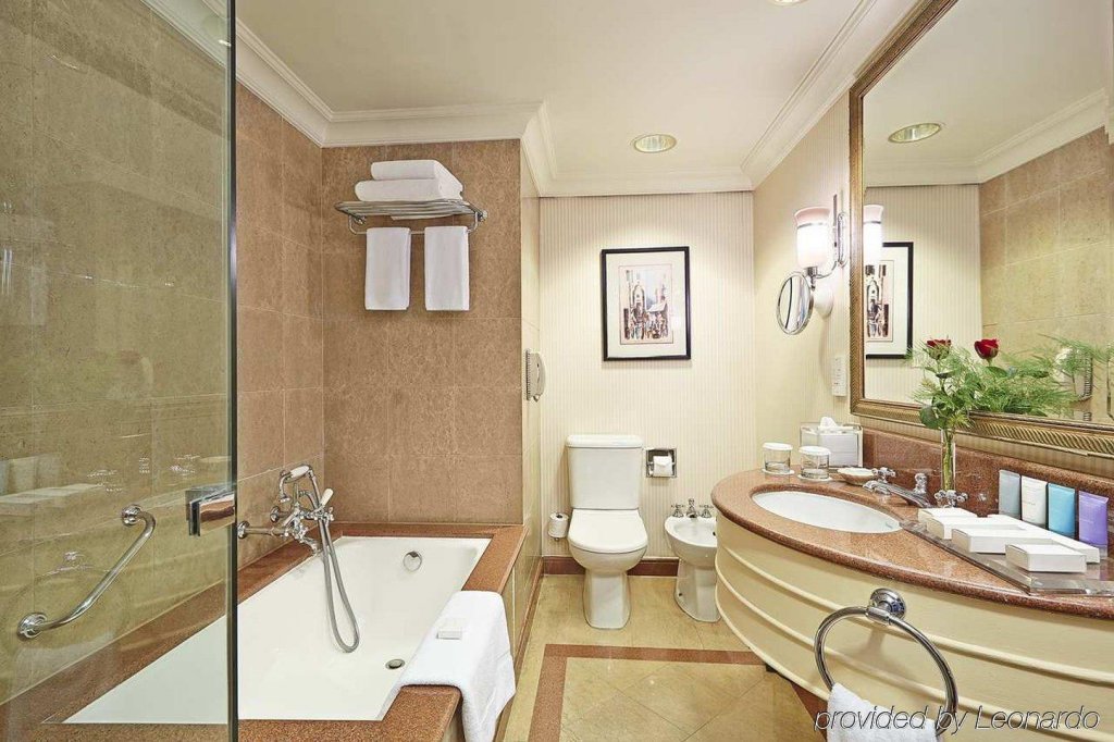
We are staying at the beautiful Conrad Hotel across from the Nile River in Cairo.
-
Akrotiri Santorini, Greece
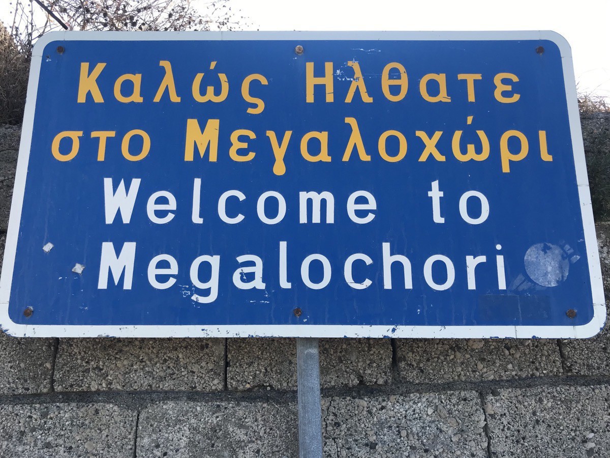
Today we rode the ferry from the ship to the old port of Fira, Santorini where we boarded our tour bus for the 20 minute ride to Akrotiri. The road from the new port is steep and has very tight switchbacks, making it an exciting (or should I say terrifying) bus ride. We rode to the town of Megalochori where I saw my first pistachio tree and grapes growing on the ground instead of on vines.
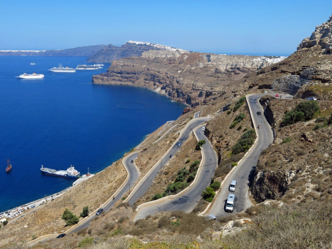
The road from the new port in Fira, capital of Santorini
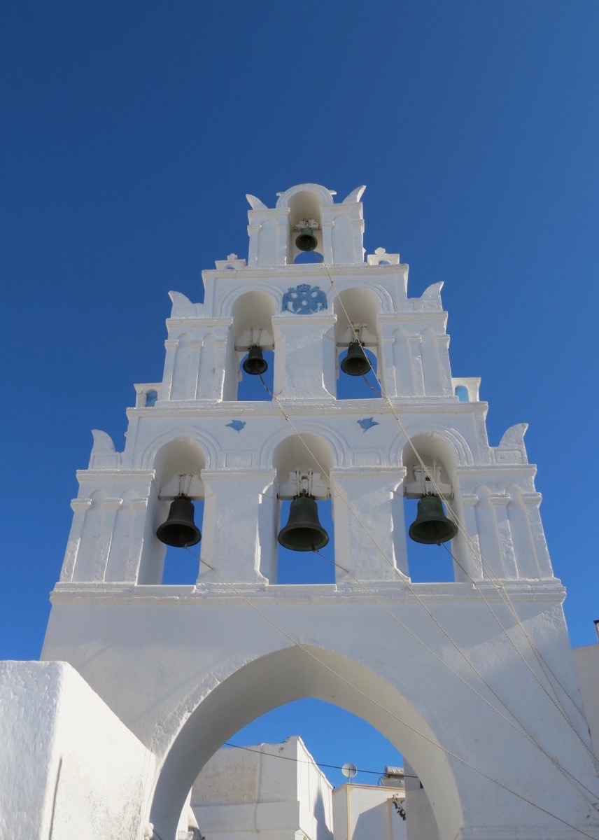
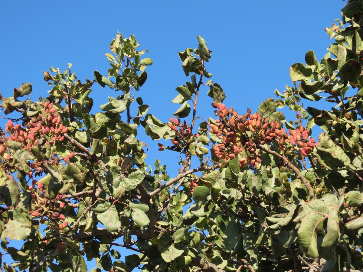
Pistachio tree
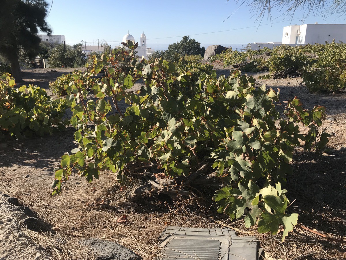
Vineyards of grapes growing in “baskets” made from their vine. They are kept close to the ground to protect them because the island is so windy.
Akrotiri
Akrotiri was an ancient city first inhabited around 4500BC and destroyed around the year 1500BC by an eruption of the volcano of Thera. In 1967 excavation began to discover the city which had two and three story buildings with inside toilets, city squares, shops, workshops was covered under lava. Some believe that this site could be the lost city of Atlantis.
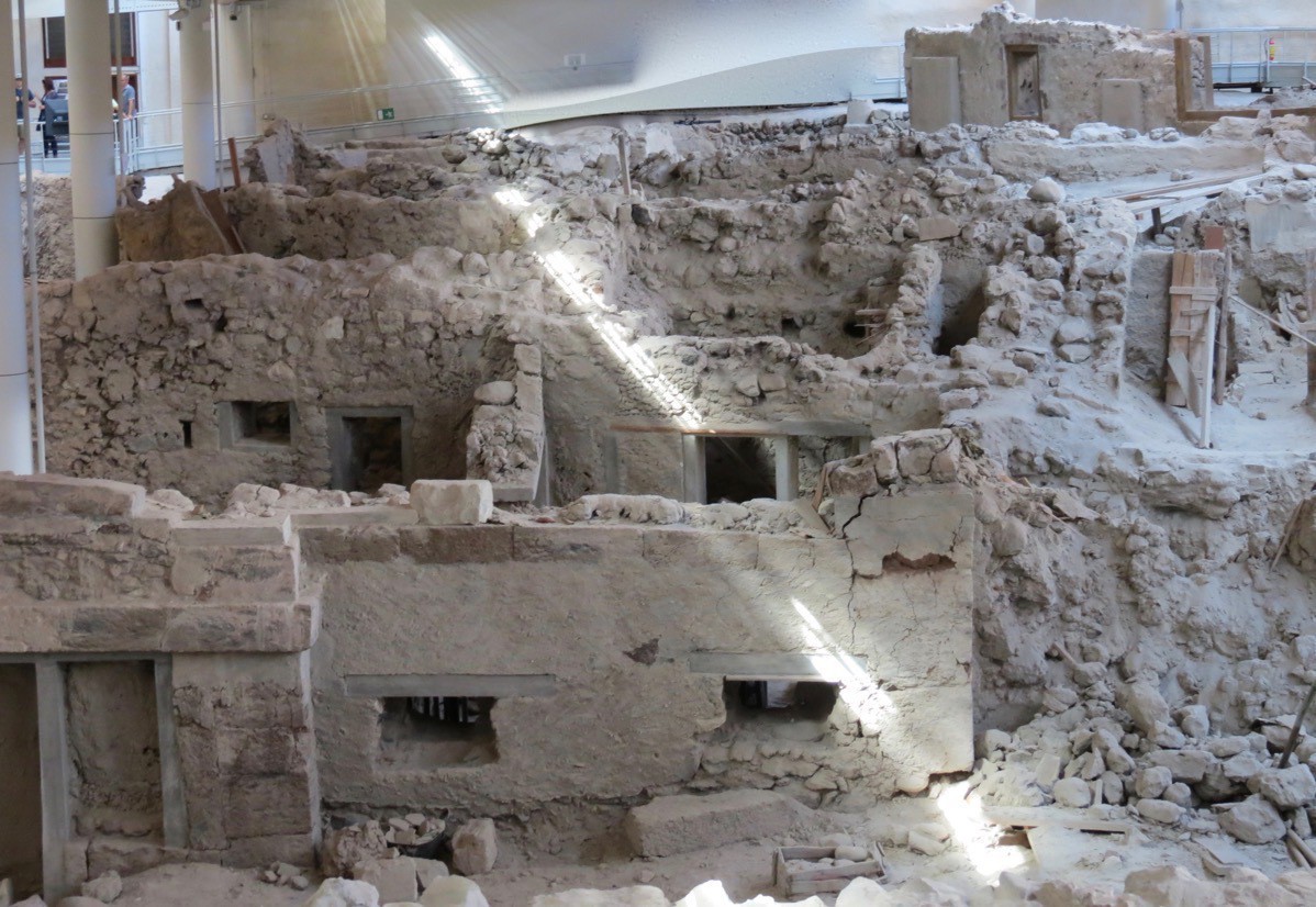
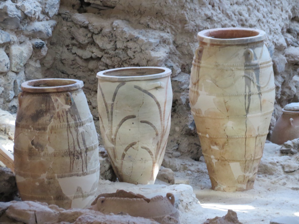
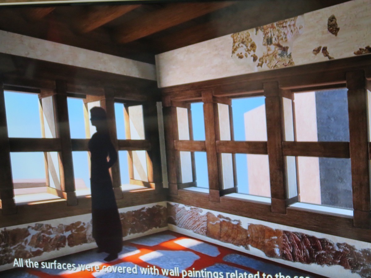
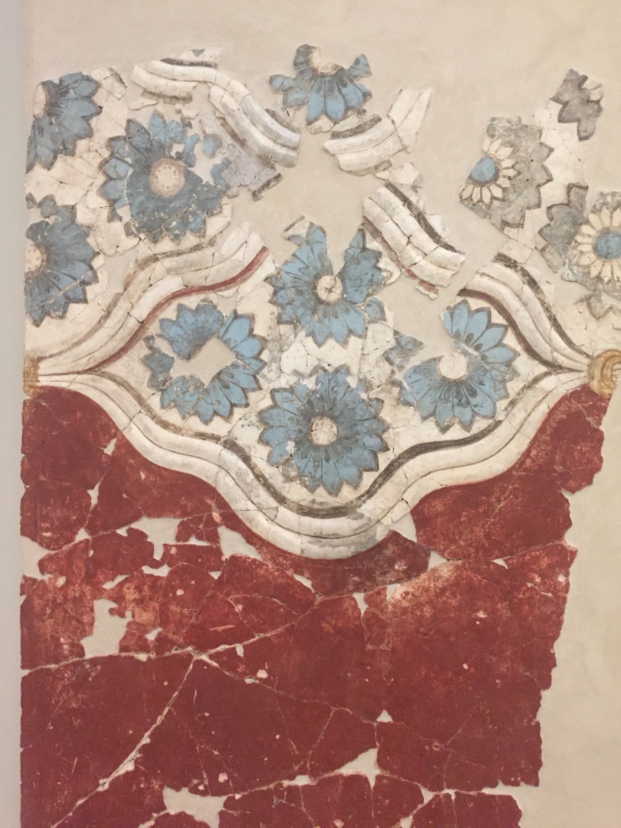
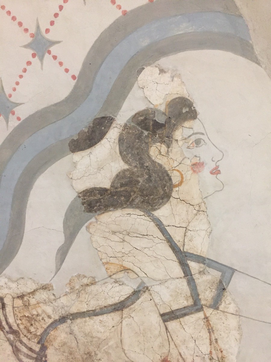
This is what the building would have looked like with the beautiful artwork and the wooden framed openings and ceiling, The wood did not survive —just the walls with murals.
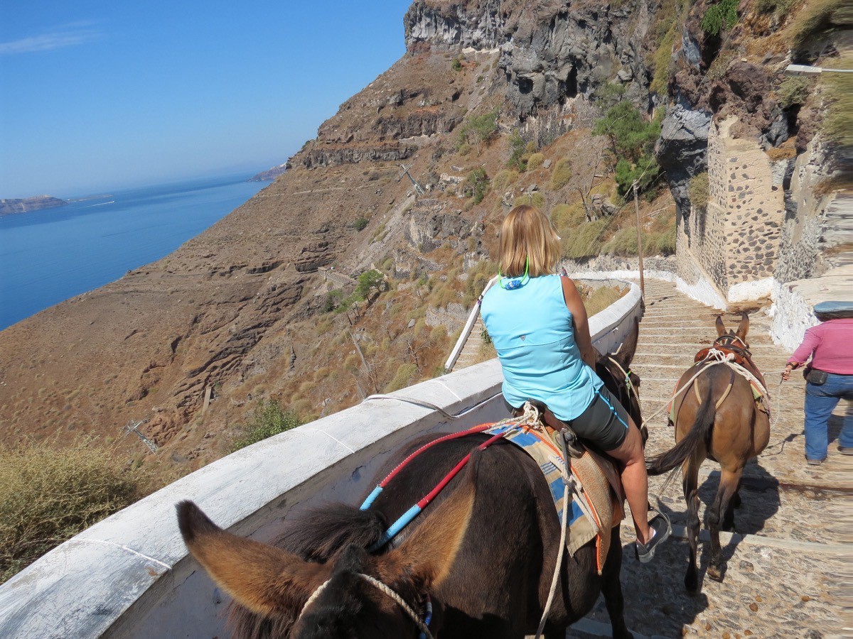
When we got back to Thera, Santorini I wanted to ride a donkey down the 588 steps to the old port to return to our ship. Tom was a good sport and agreed to ride one also. We hadn’t ridden 80 steps when I asked to get off the donkey. I was terrified going down the steps and was afraid of falling off. Tom continued to ride his donkey to the bottom and I walked the rest of the 588 steps—much happier!
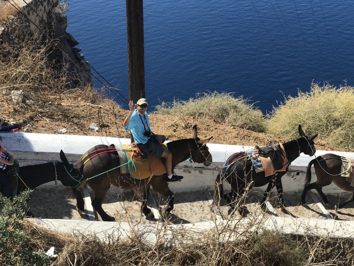
The donkey without a rider in front of Tom was my donkey.
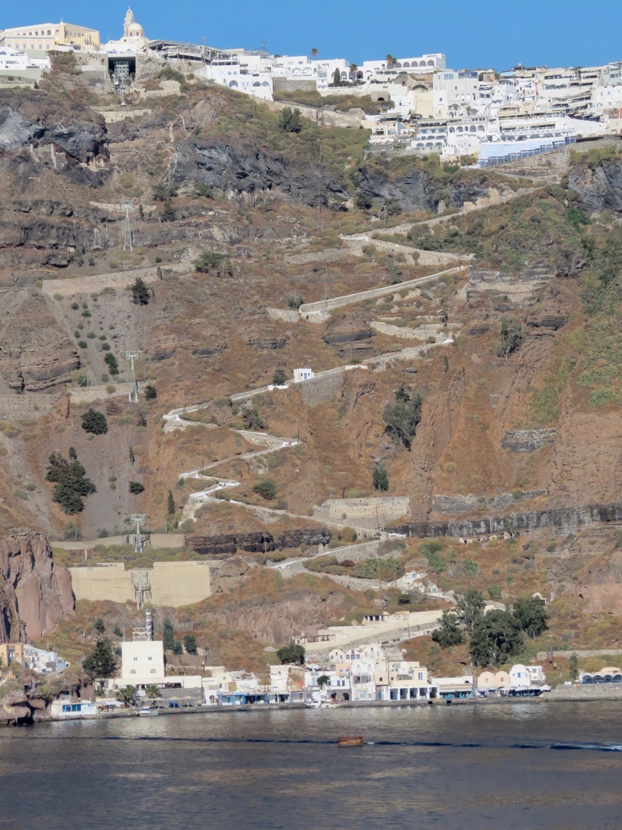
A picture of the steps from our ship.
-
Oia and Thira on the island of Santorini, Greece
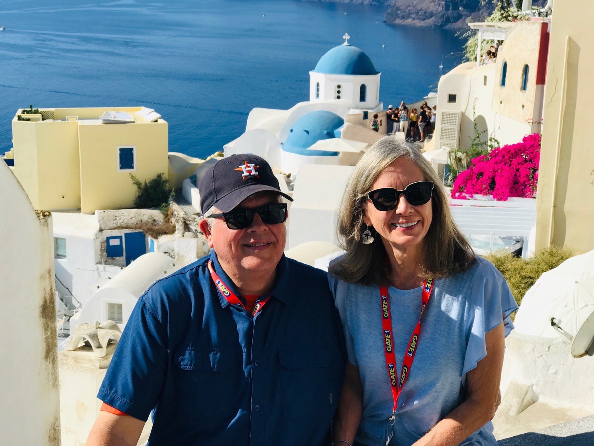
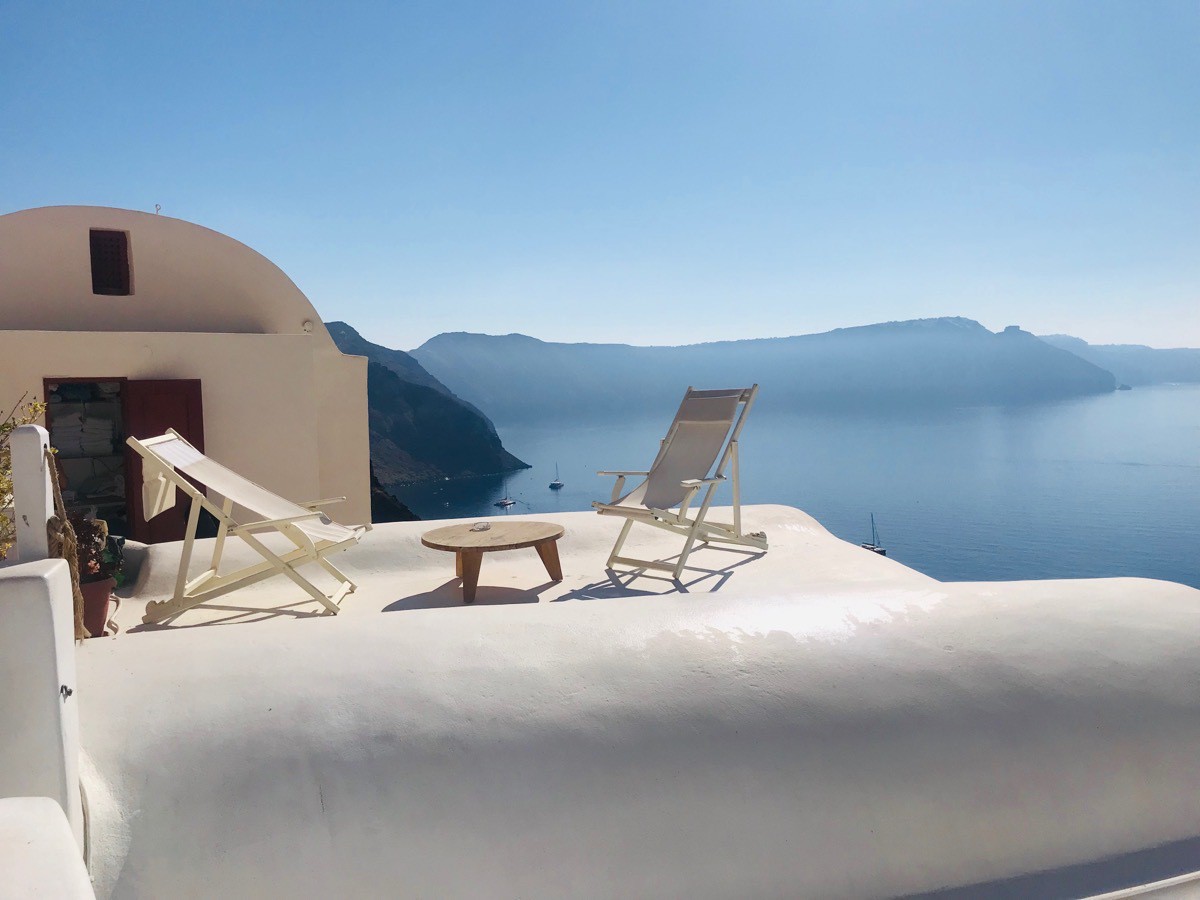
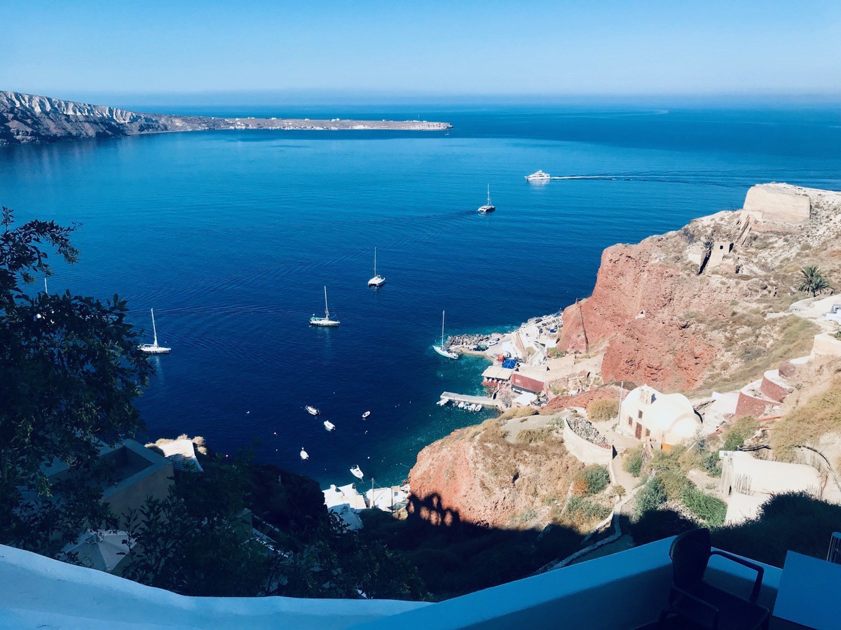
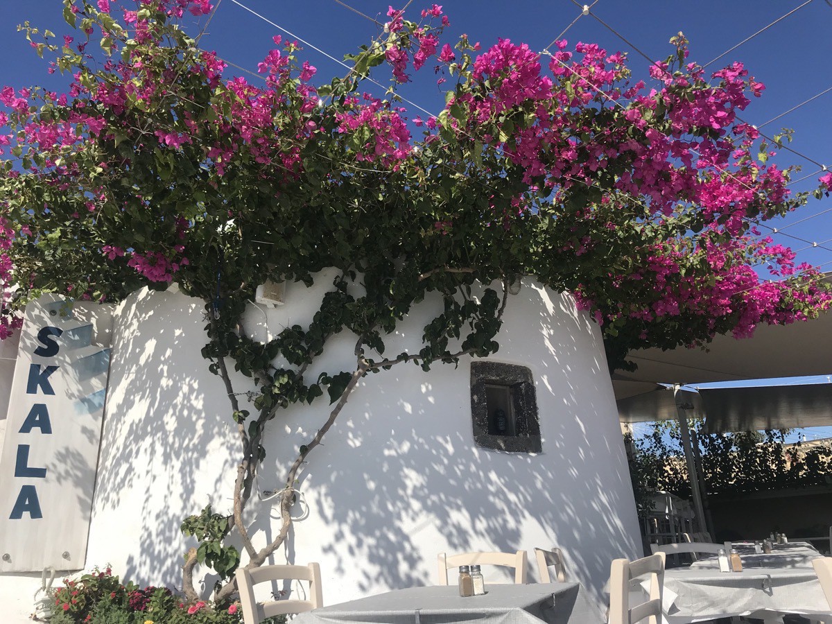
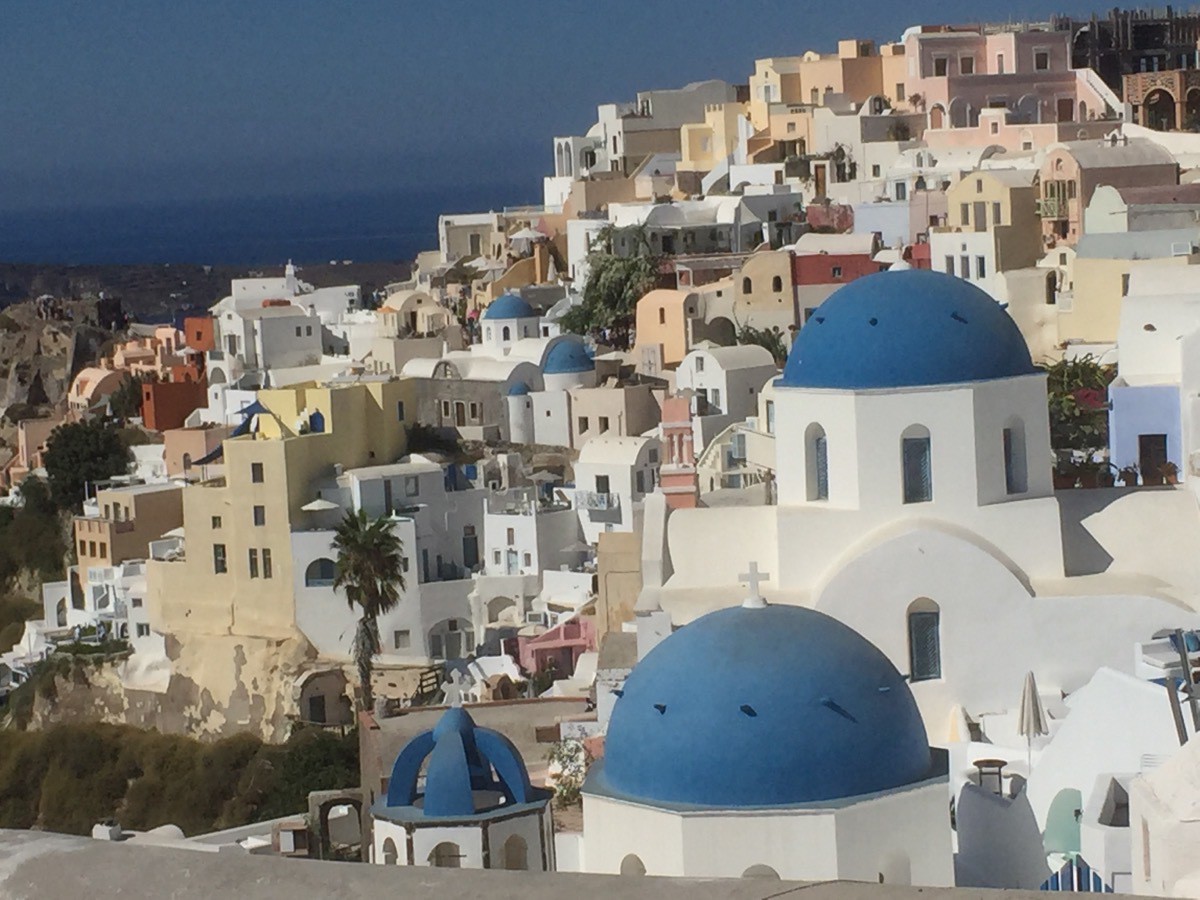
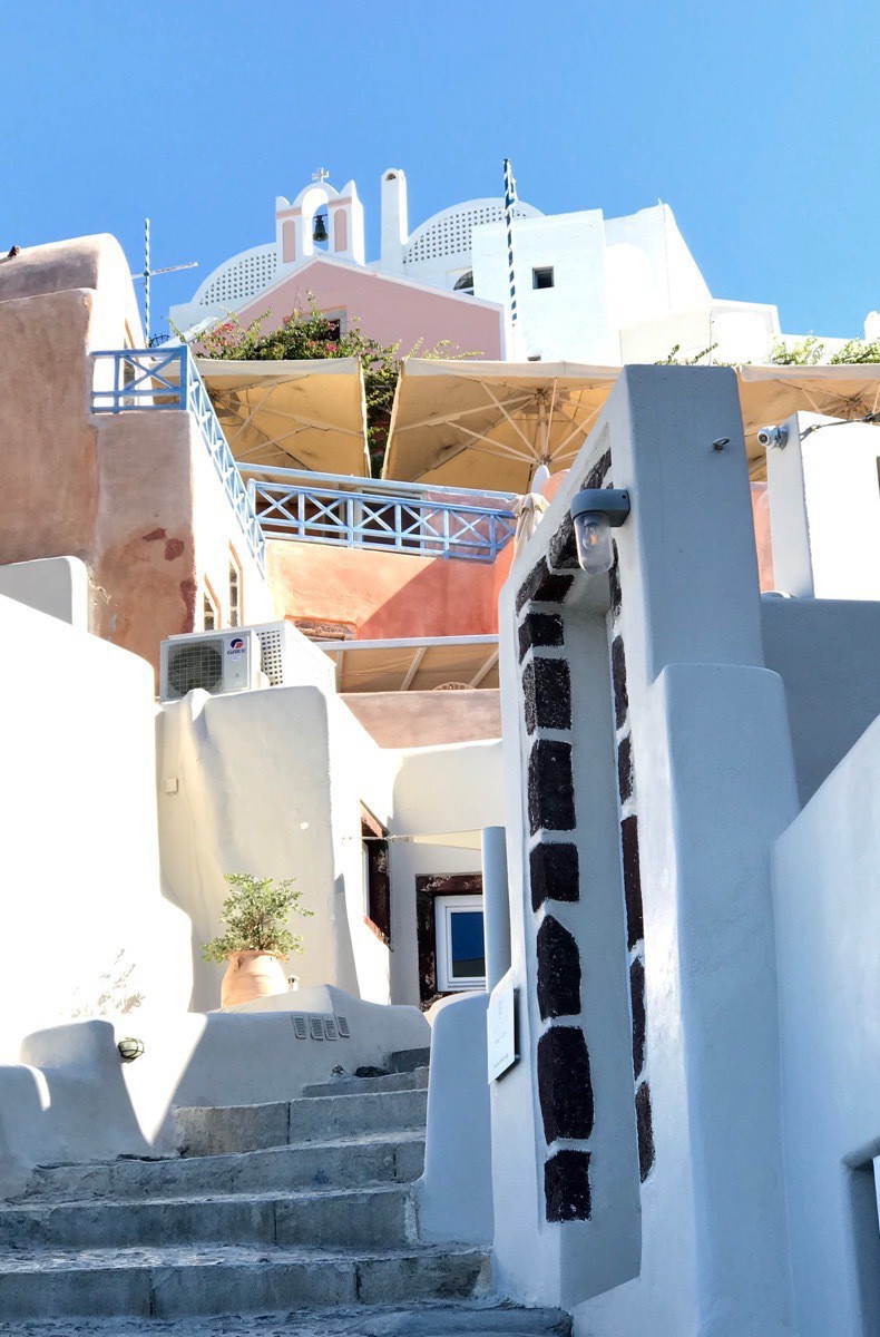
After tendering from the ship to the port we rode a tour bus to the beautiful village Oia where we were given free time to walk around and enjoy the town.
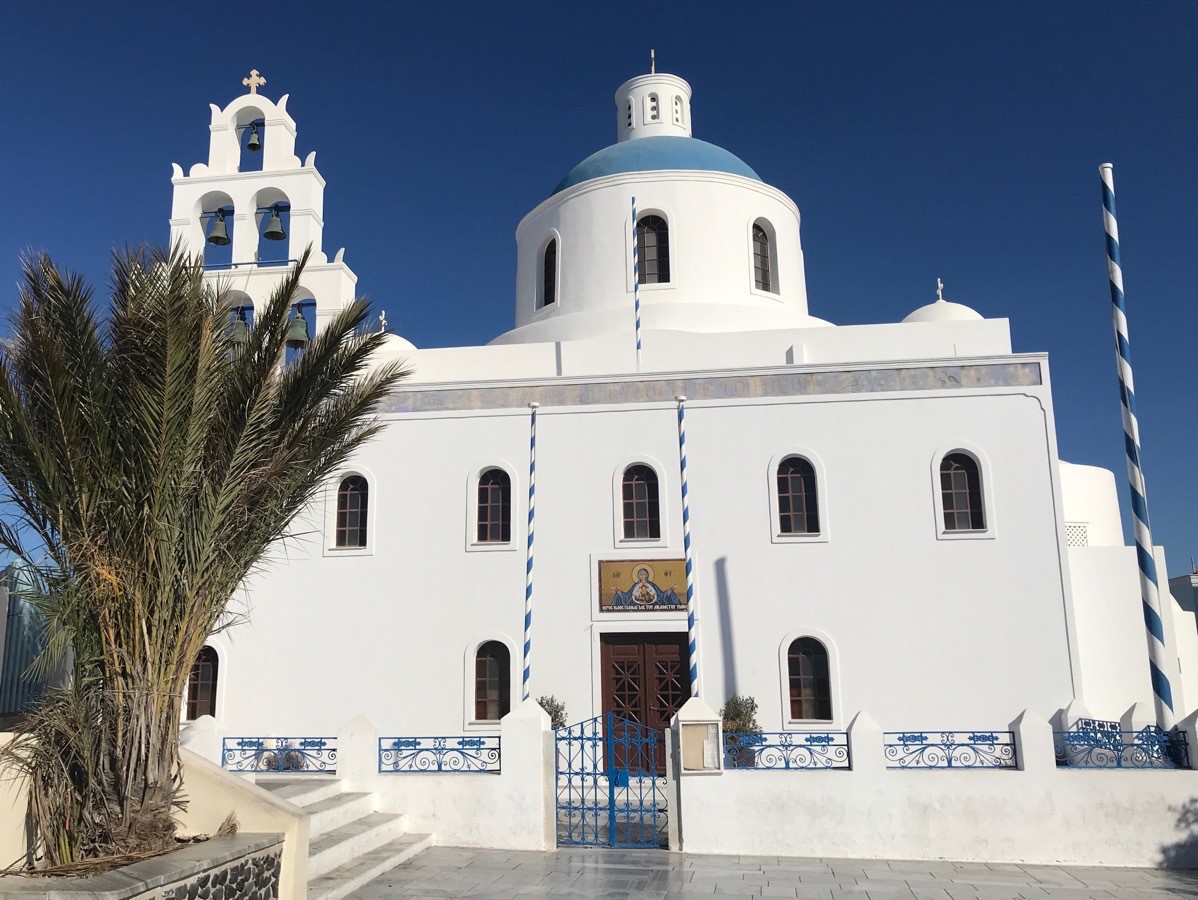
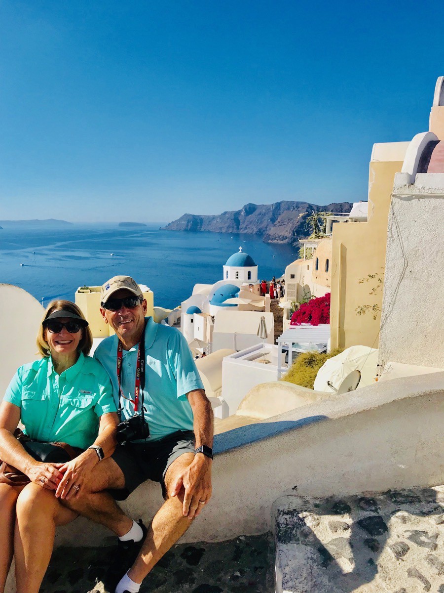
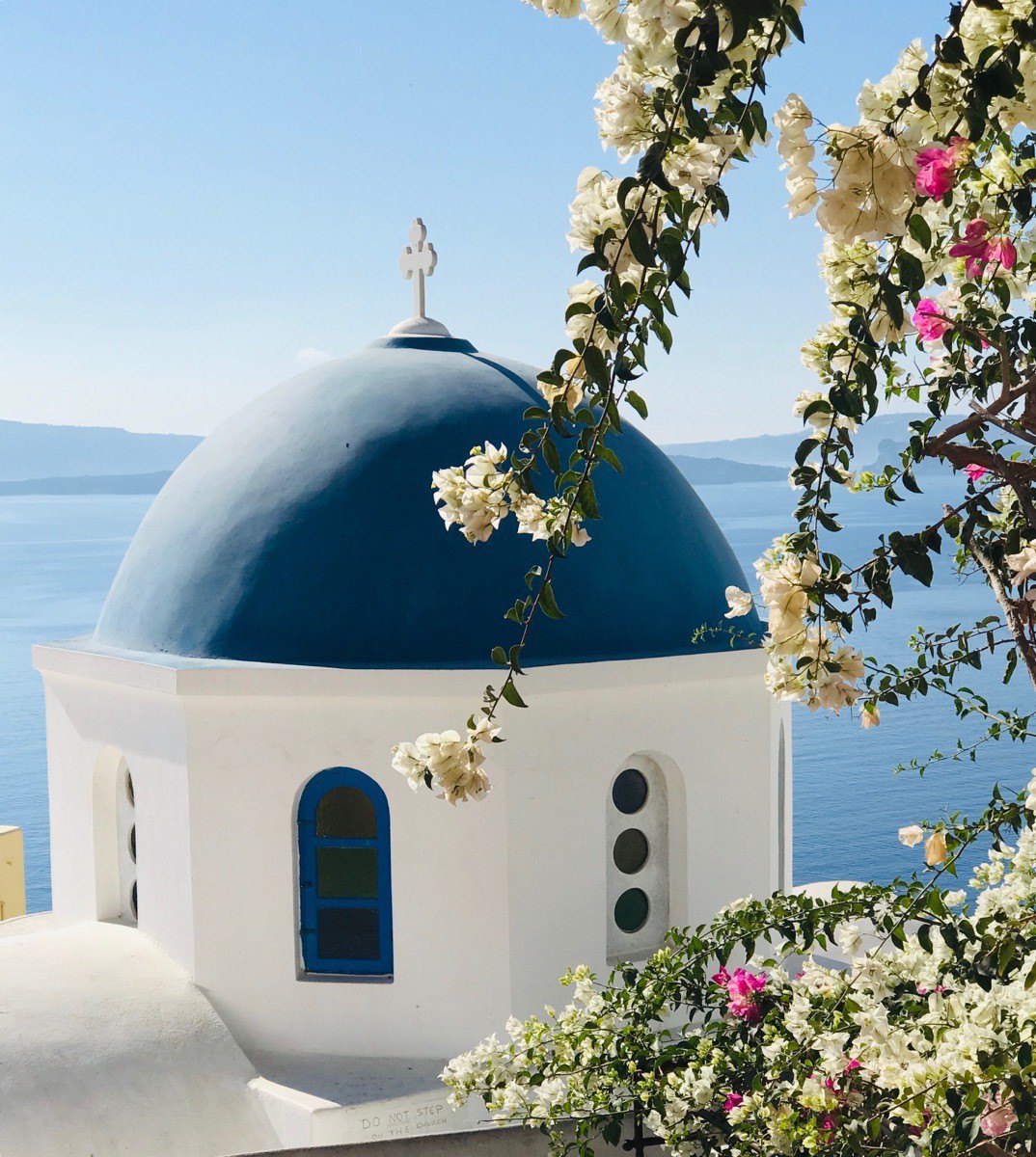
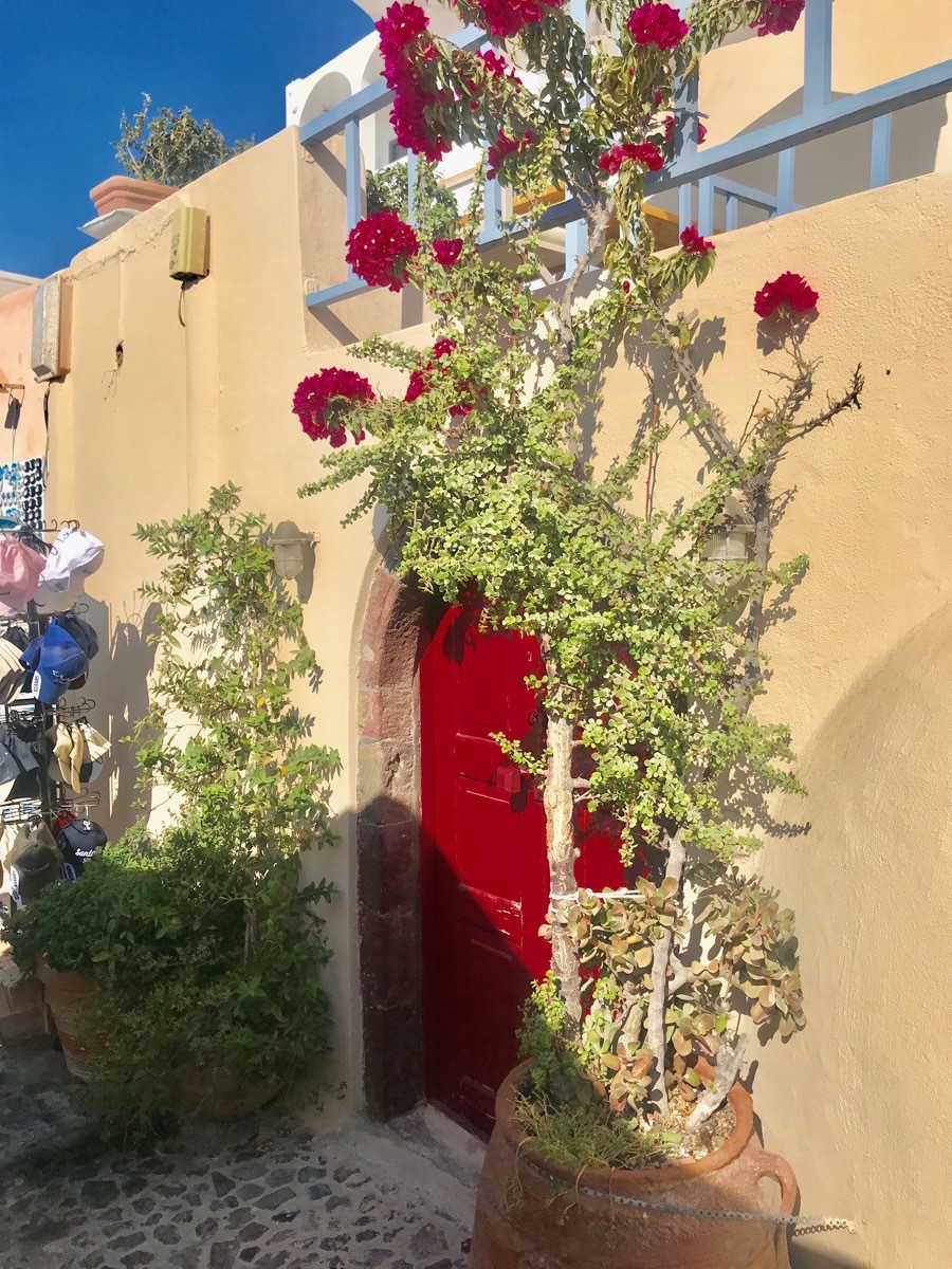
After we visited Oia we rode the bus back to Thera, the capital of Santorini and walked the streets and looked in the shops. When we were ready to go back to the ship, we chose to walk the stairs along we were given tickets for the incline. There are 588 steps that lead to the old port where we needed to board the tender to ride back to the ship.
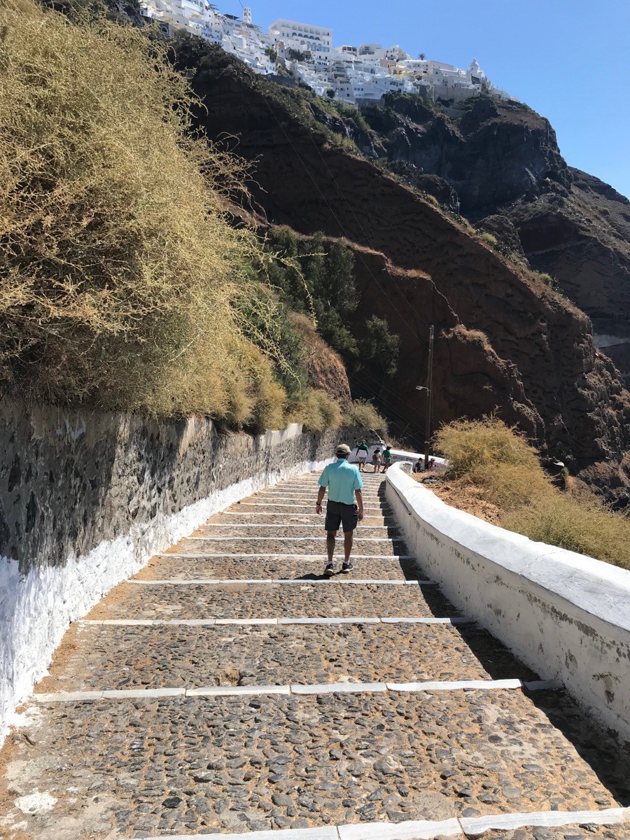
Tom is ahead of me walking down the steps.
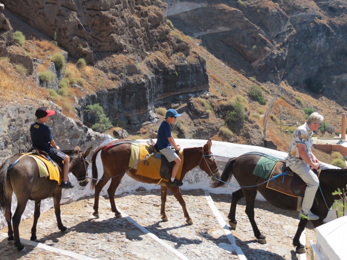
Some people rode donkeys down and/or up the steps.
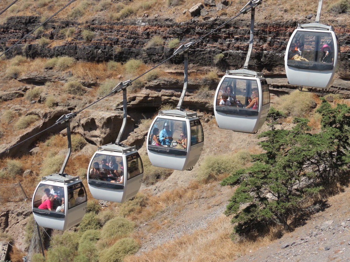 Some people rode the incline.
 -
Milos, Greece
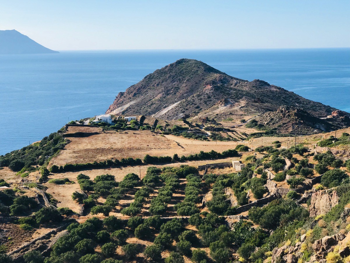
We had to ride a tender from our ship to to the volcanic island of Milos located in the beautiful Aegean Sea. This is the island where the Venus de Milo was found and is now located in the Louvre. Mining, rather than tourism, is the chief industry on the island. Bentonite, perlite, pozzolana and small quantities of kaolin are actively collected via strip mine or open-pit mine techniques in Milos and sold all over the world. In the past, baryte, sulfur, millstones and gypsum were also mined; in fact, Milos was the most abundant source of sulfur in the ancient world.
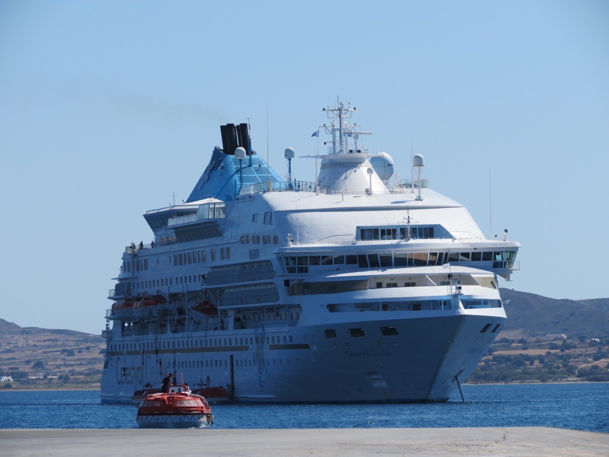
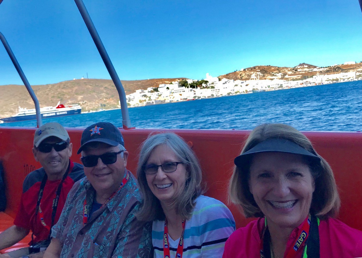
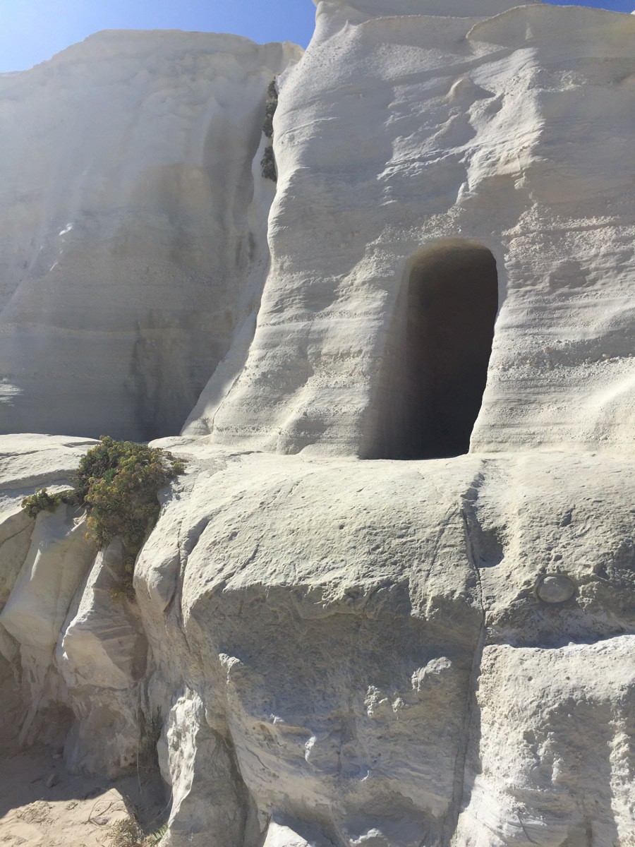
Our first stop was at the mining museum which was somewhat interesting before continue our tour to our second stop at Papafragas to see the rock formations along the beautiful Aegean Sea.
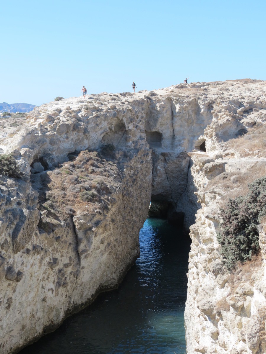
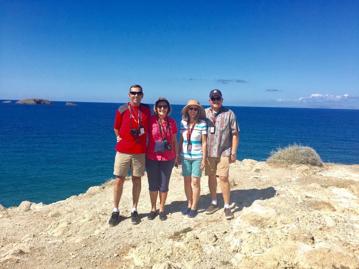
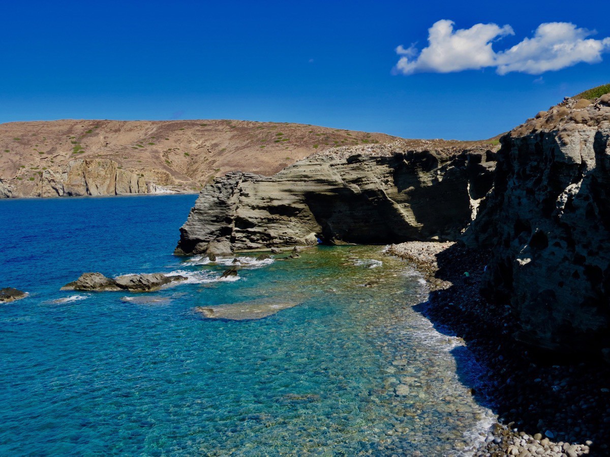
From there we went to Sarakiniko Beach which was spectacularly beautiful.
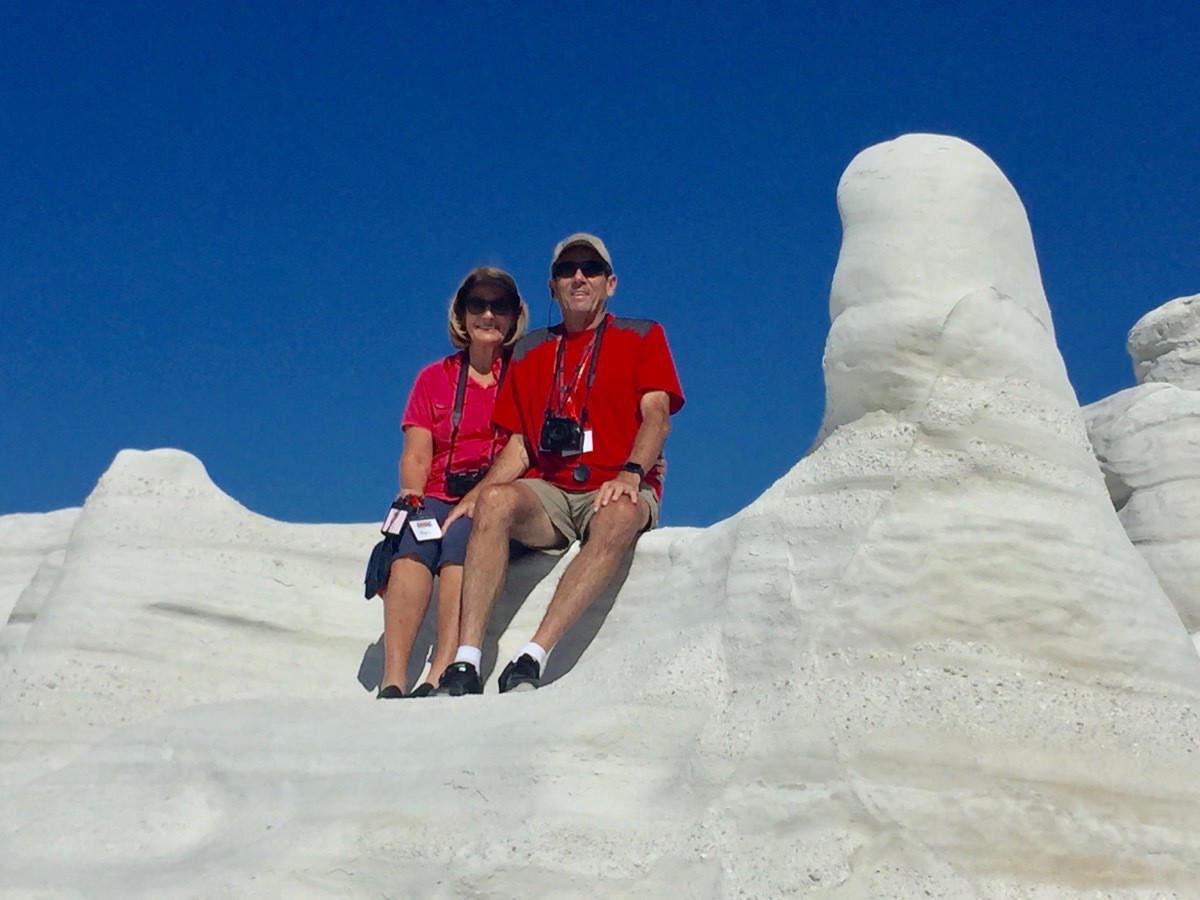
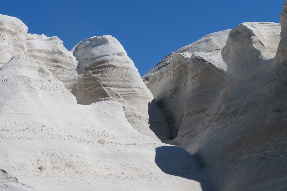
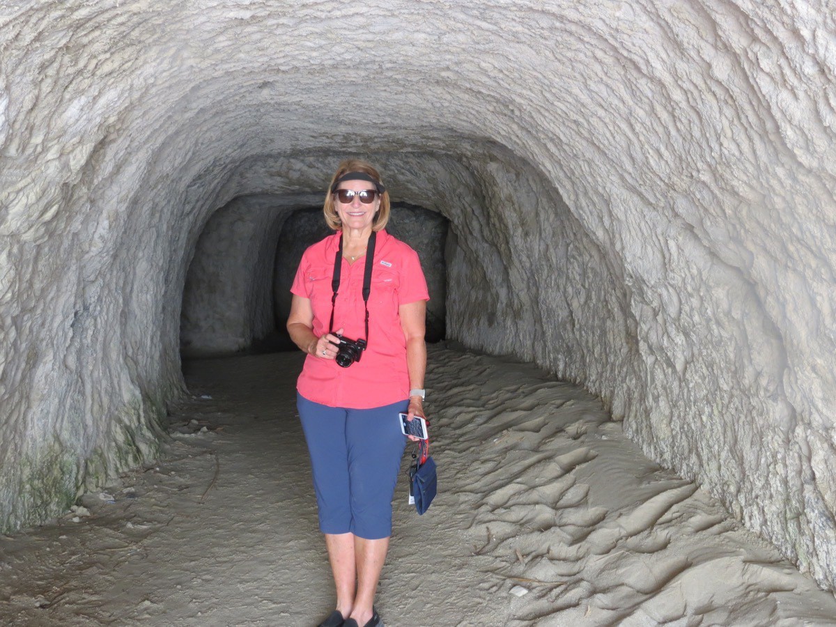
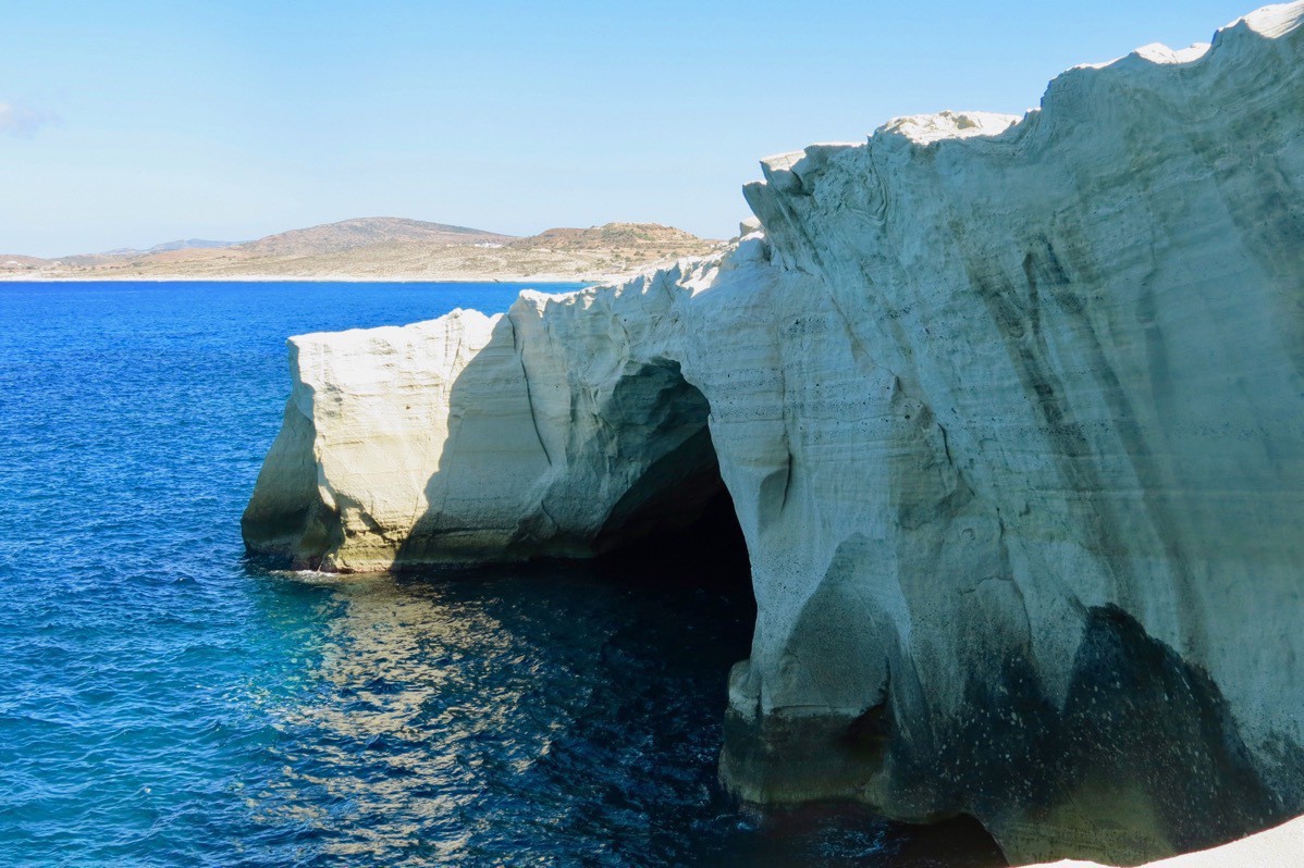
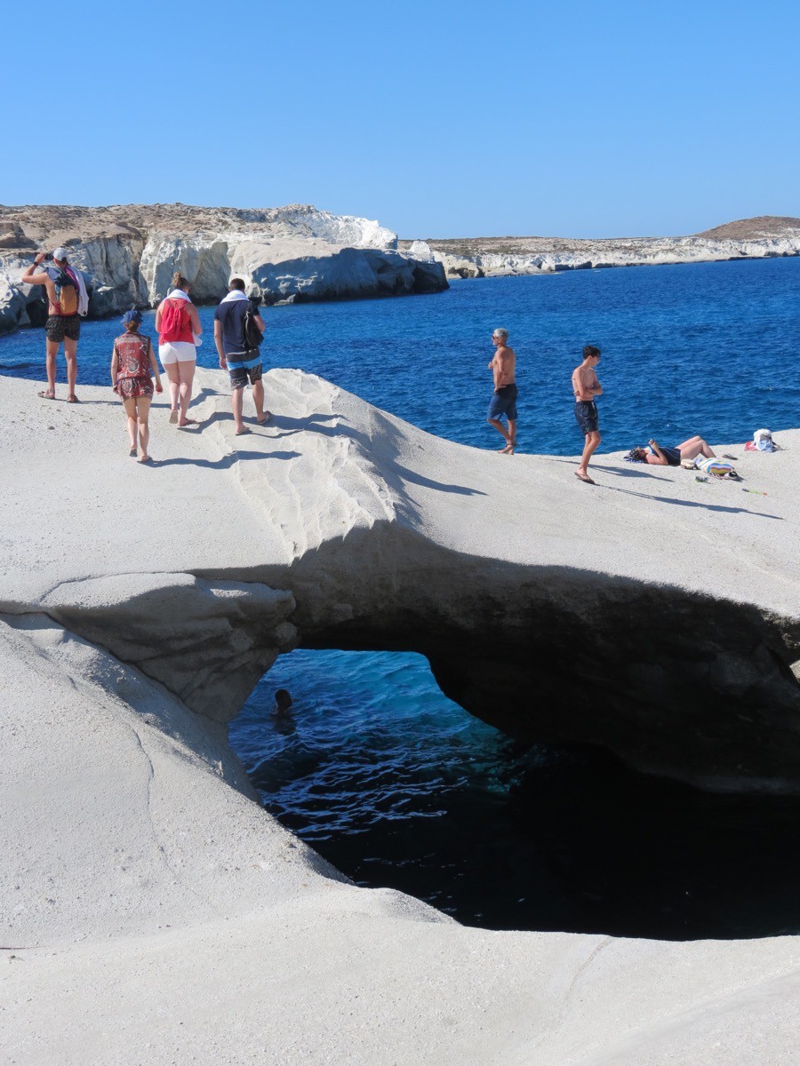
And our last stop was the island of Apeth.
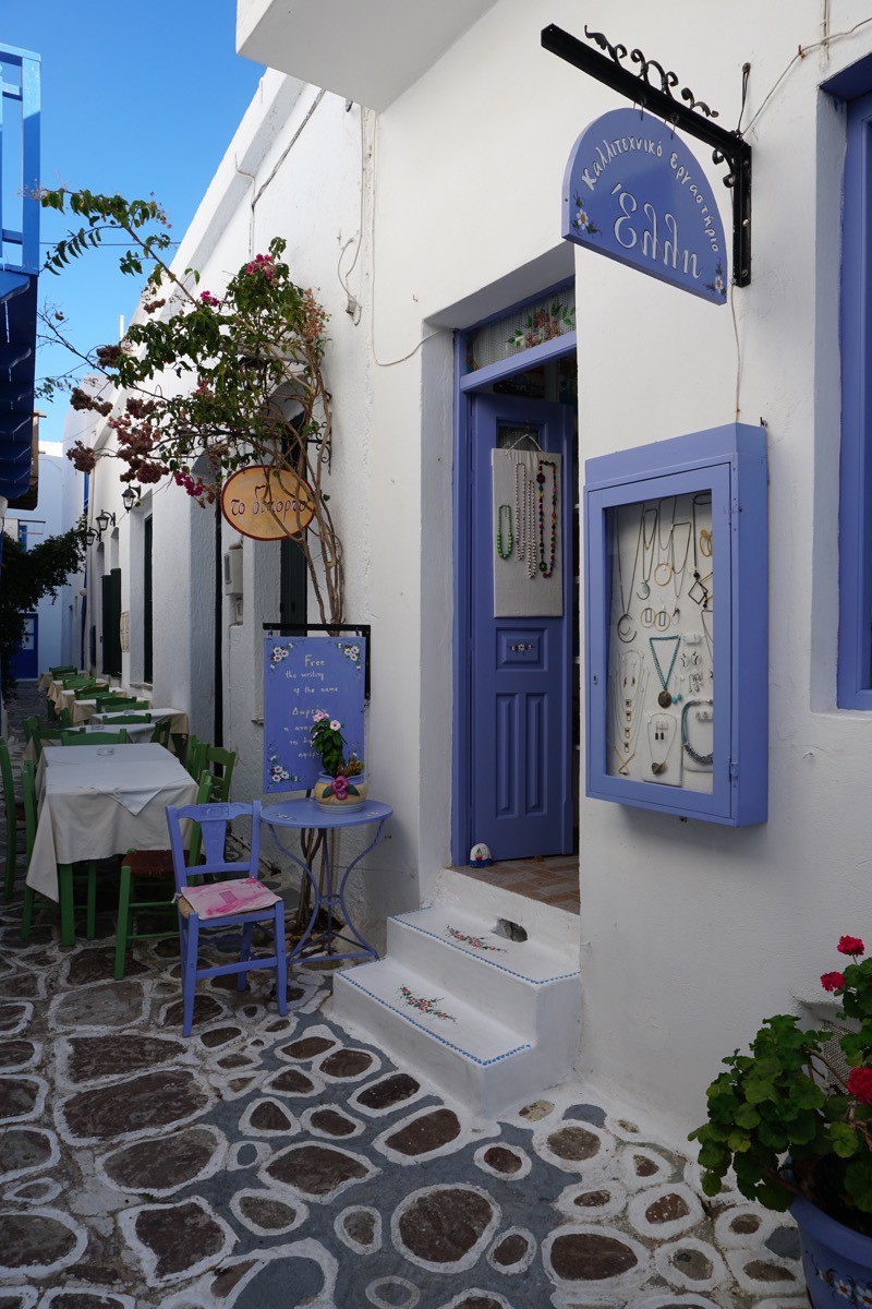
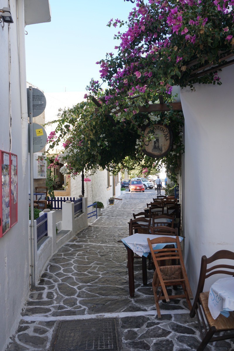
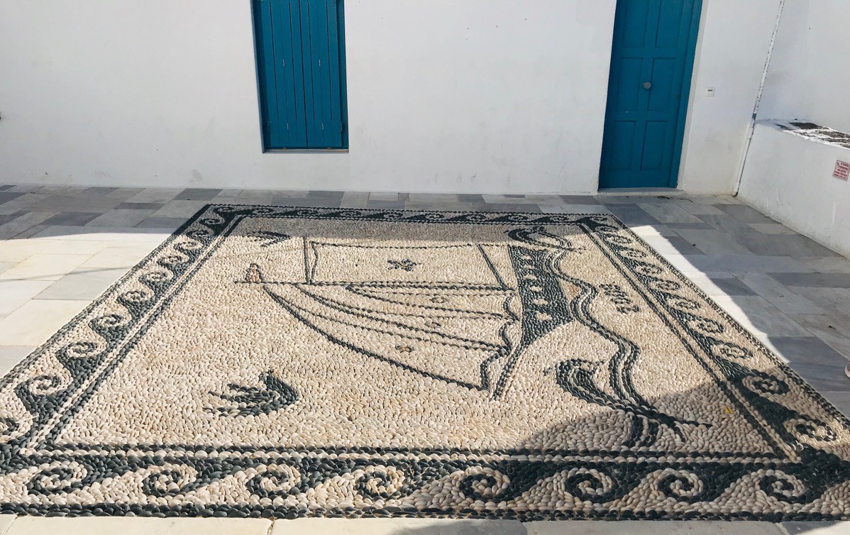
A mosaic made from rocks to look like rug.
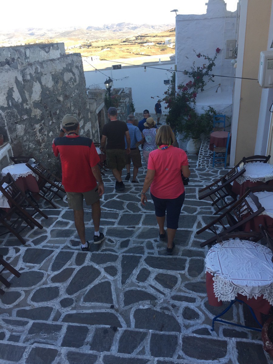 Tom and I walking down the steps to get back to the bus.
 -
Meteora, Greece Monastery of the Holy Trinity and St. Stephen's Nunnery
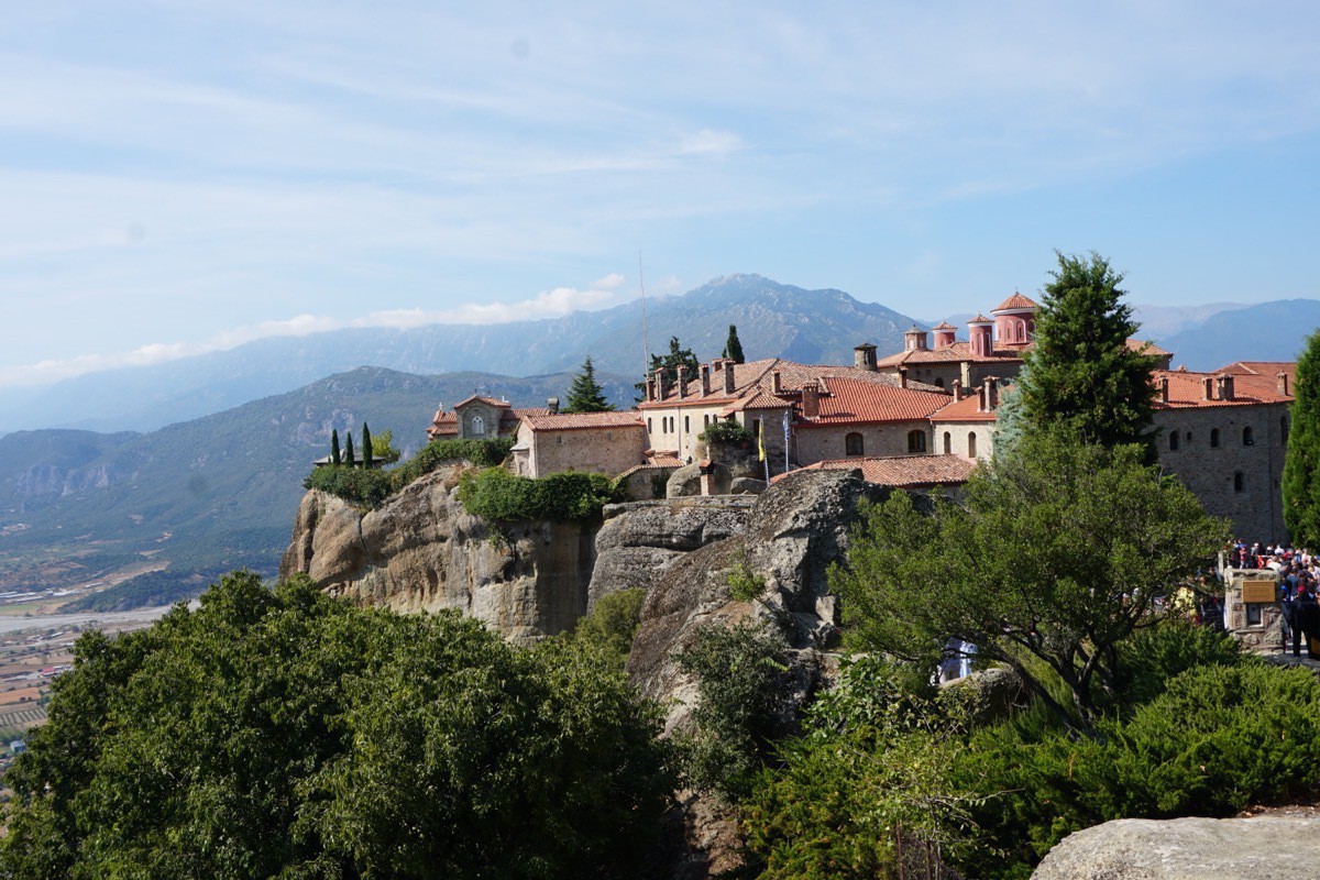
We left our hotel in Kalabaka this morning after breakfast on the bus and drove to the Meteora. The Meteora is a rock formation in central Greece hosting one of the largest and most precipitously built complexes of Eastern Orthodox monasteries. The six monasteries are built on immense natural pillars and hill-like rounded boulders that dominate the local area.
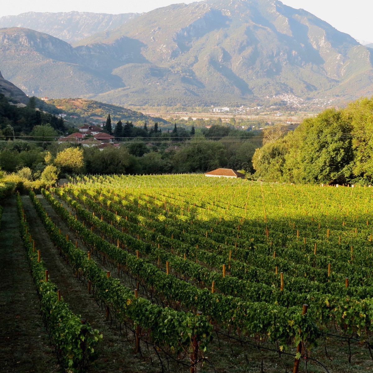
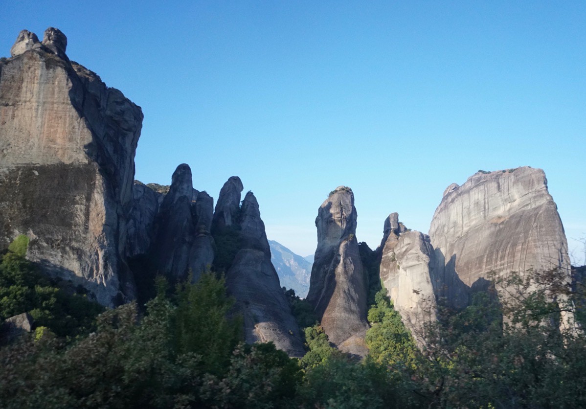
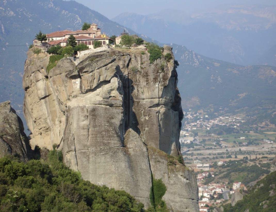
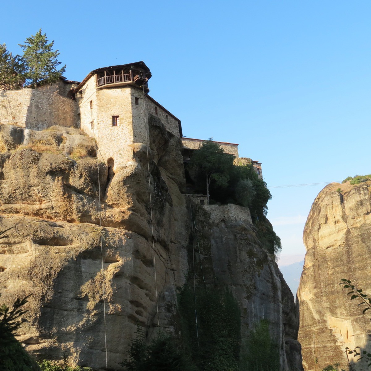
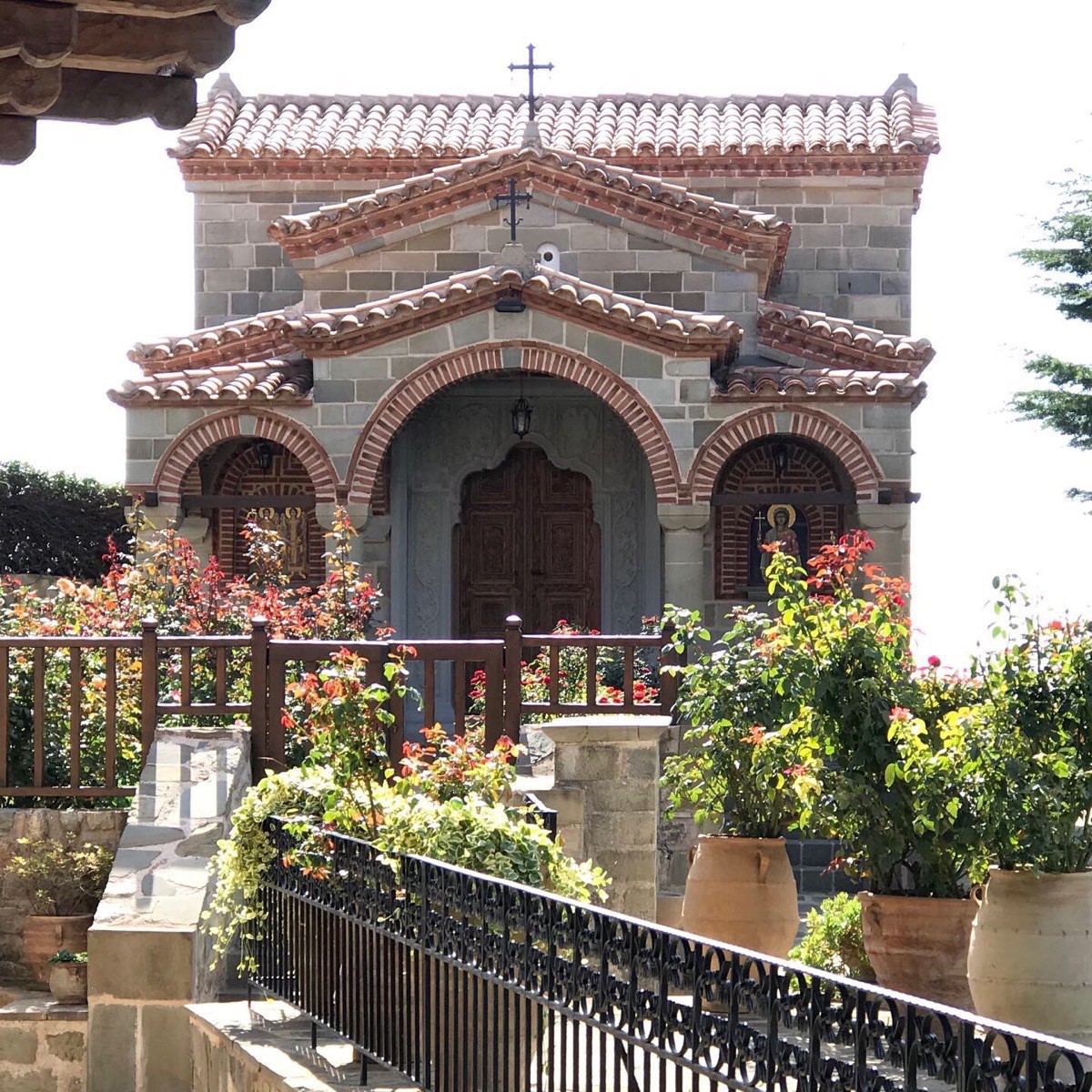
Our first stop was the Monastery of the Holy Trinity. The Holy Trinity Monastery is situated atop a rock formation over 1,300‘ above the ground. We walked up a circular walkway to get to the top. The church was constructed between the fourteenth and fifteenth centuries and is included in the UNESCO list of World Heritage Sites titled Meteora.
The ropes you see hanging from the top were originally used to hoist the monks and building materials up to the top. It took thirty years to get all the materials to the top and then only a year to build the original monastery. The rope was replaced each time it broke, but in the meantime several monks lost their live in the process.
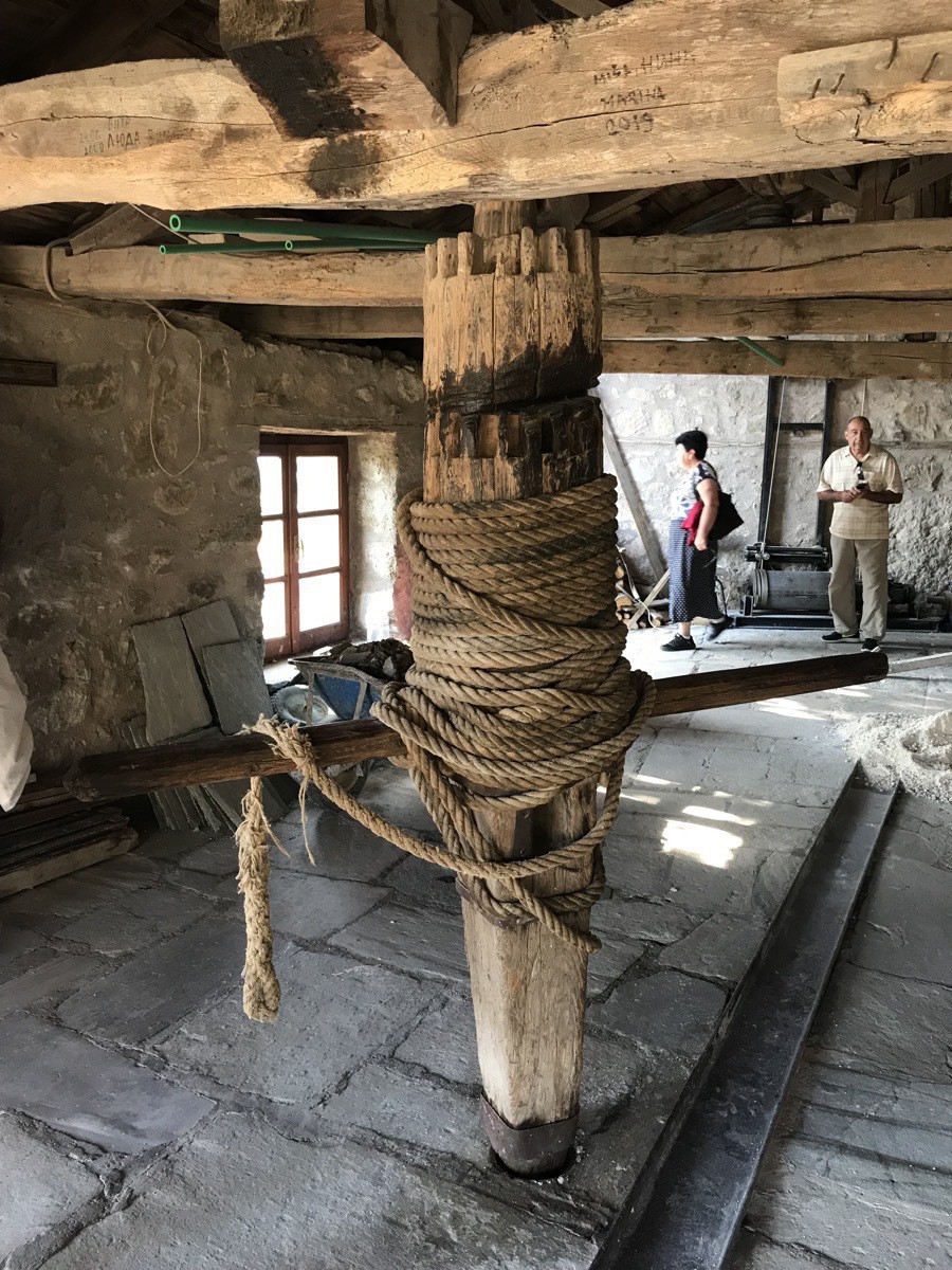
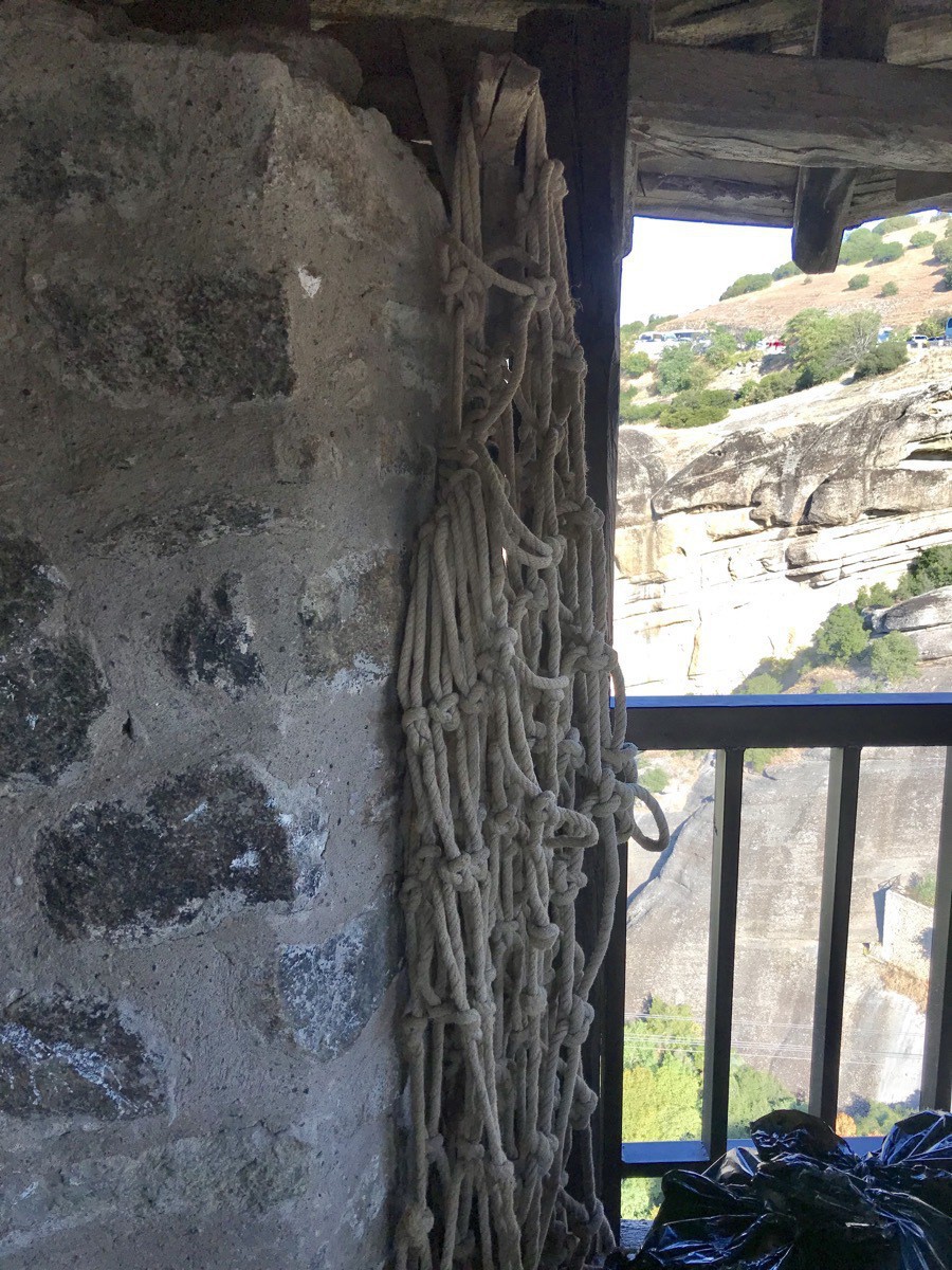
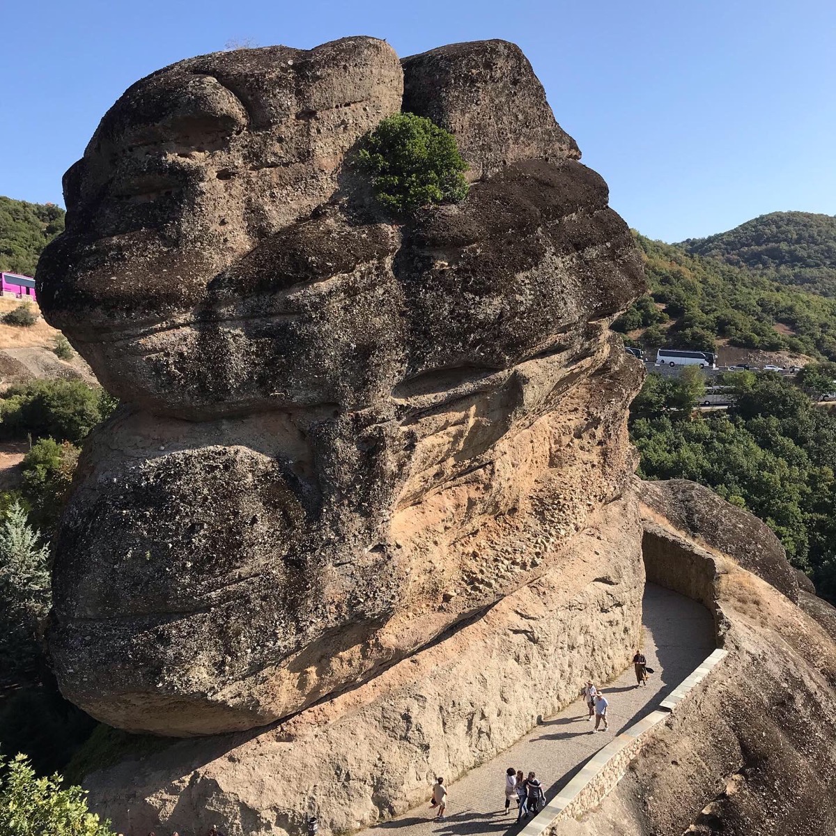
The walkway and 130 steps were added much later.
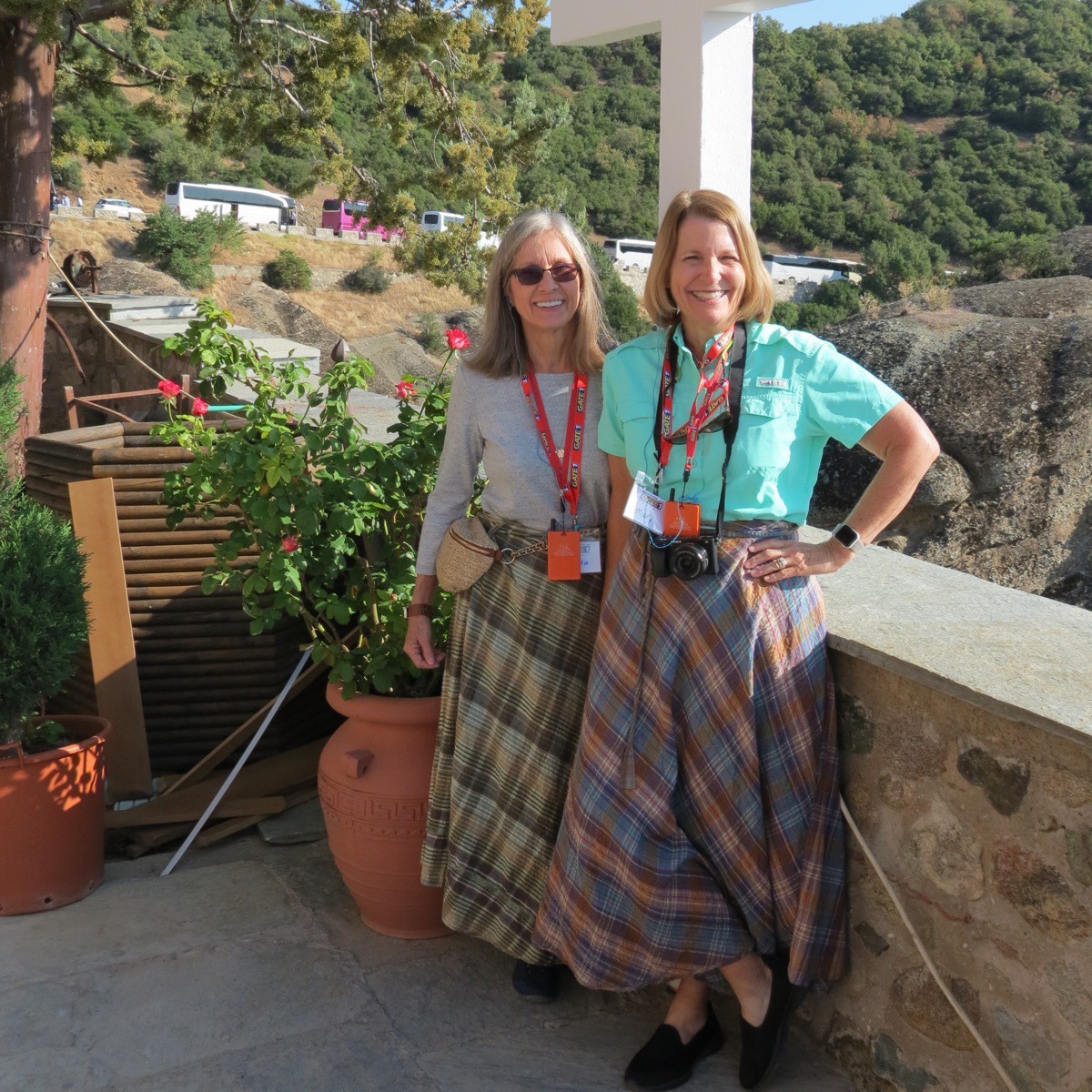
To enter the monastery men had to be wearing long pants and women had to be wearing skirts or dresses below their knees. Since Brenda and I were wearing pants, we had to wear these wrap skirts provided by the monks over our pants. What a fashion statement we made.
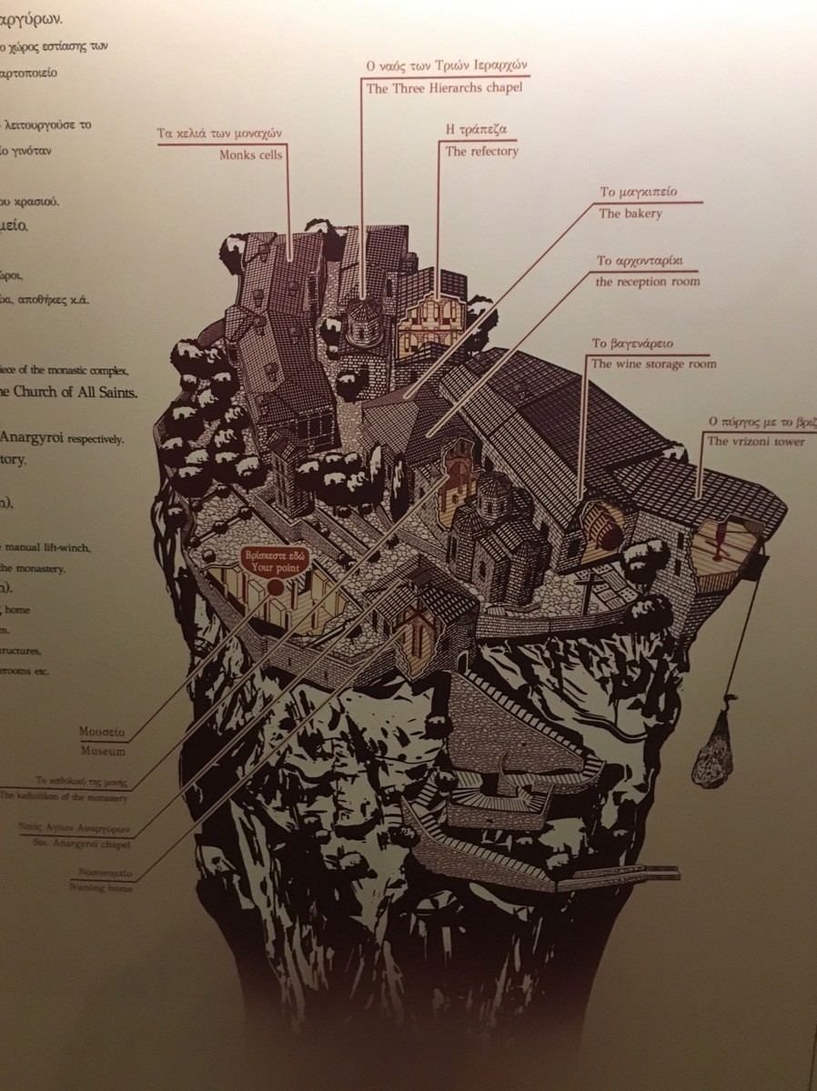
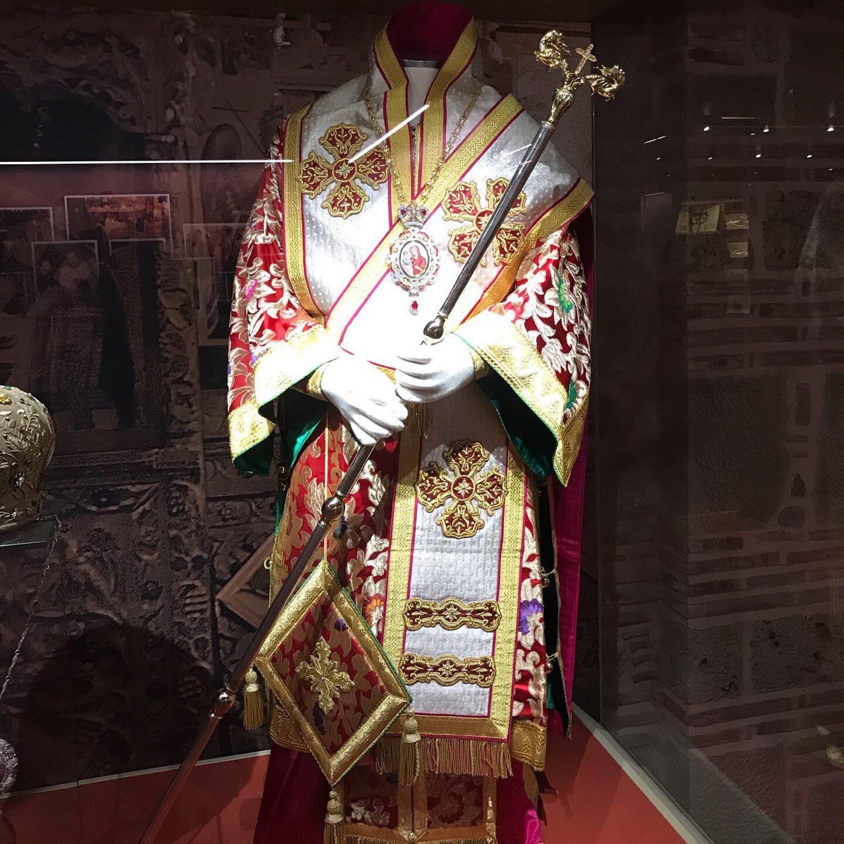
There beautiful robes were embroidered by some of the monks.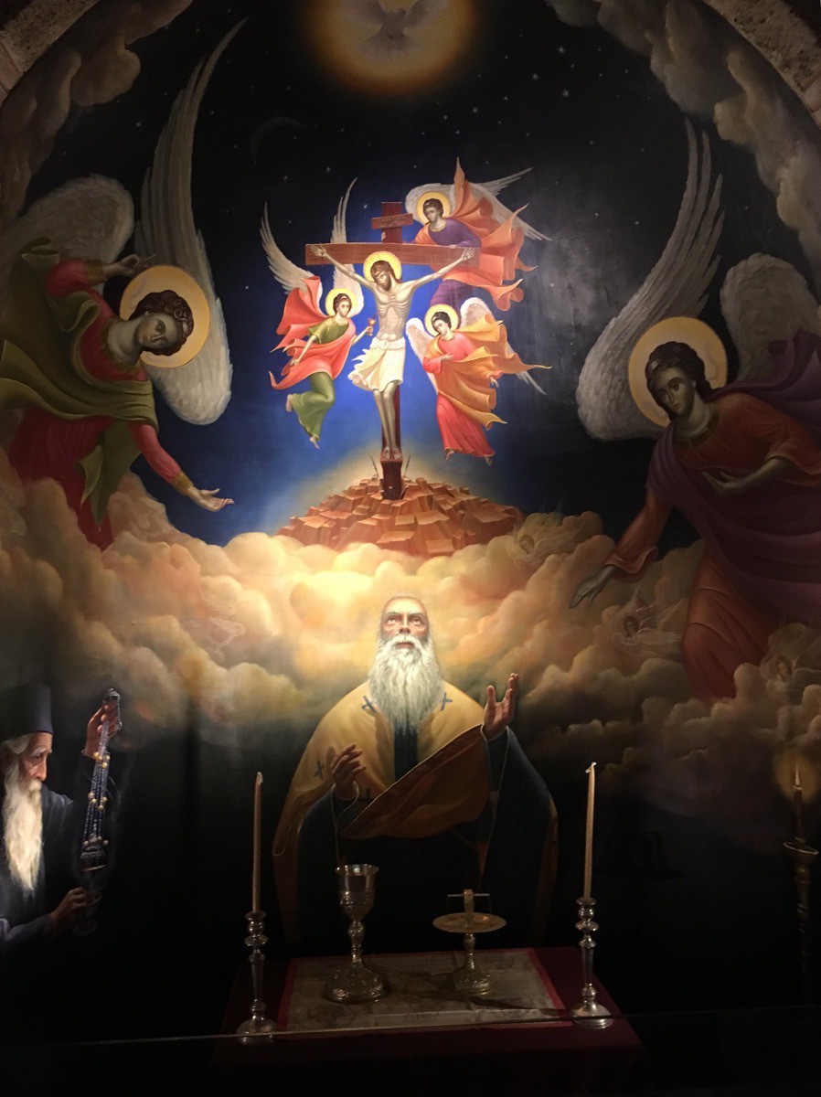 An example of the beautifully painted icons within the monestary
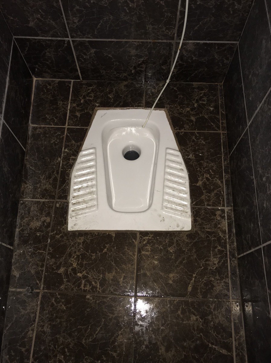 The women’s toilet!
 We boarded the bus again and drove to the St. Stephen’s Nunnery. There were so many tour buses parked along the side of the narrow road. Those drivers have incredible driving skills to get in and out of those narrow places!!!! They would have to pass in places where their rearview mirrors would be about two inches apart as they passed! Incredible.
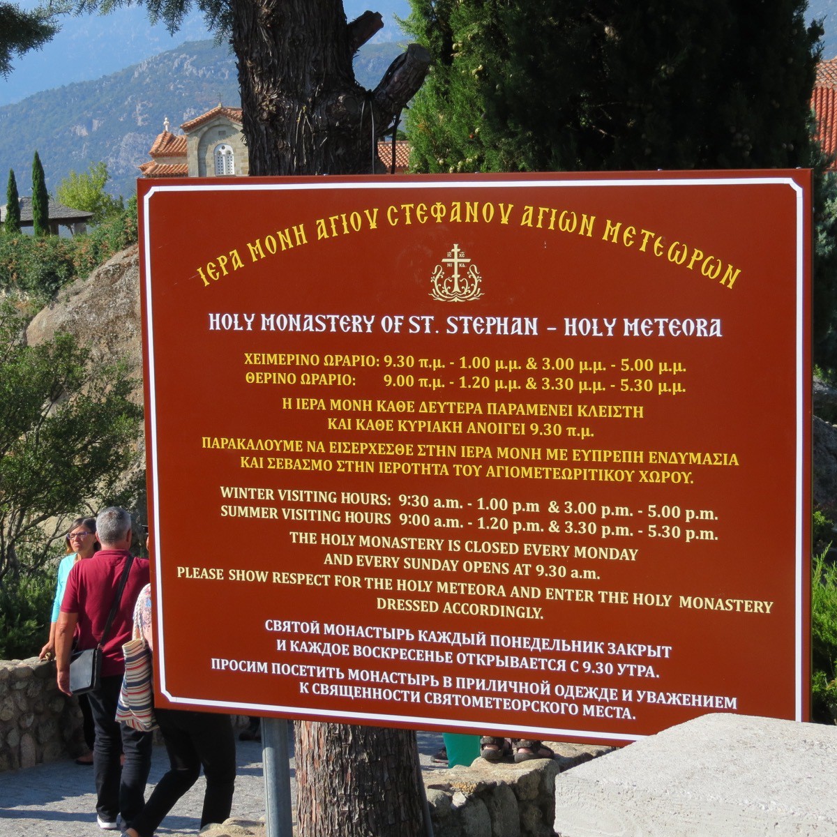
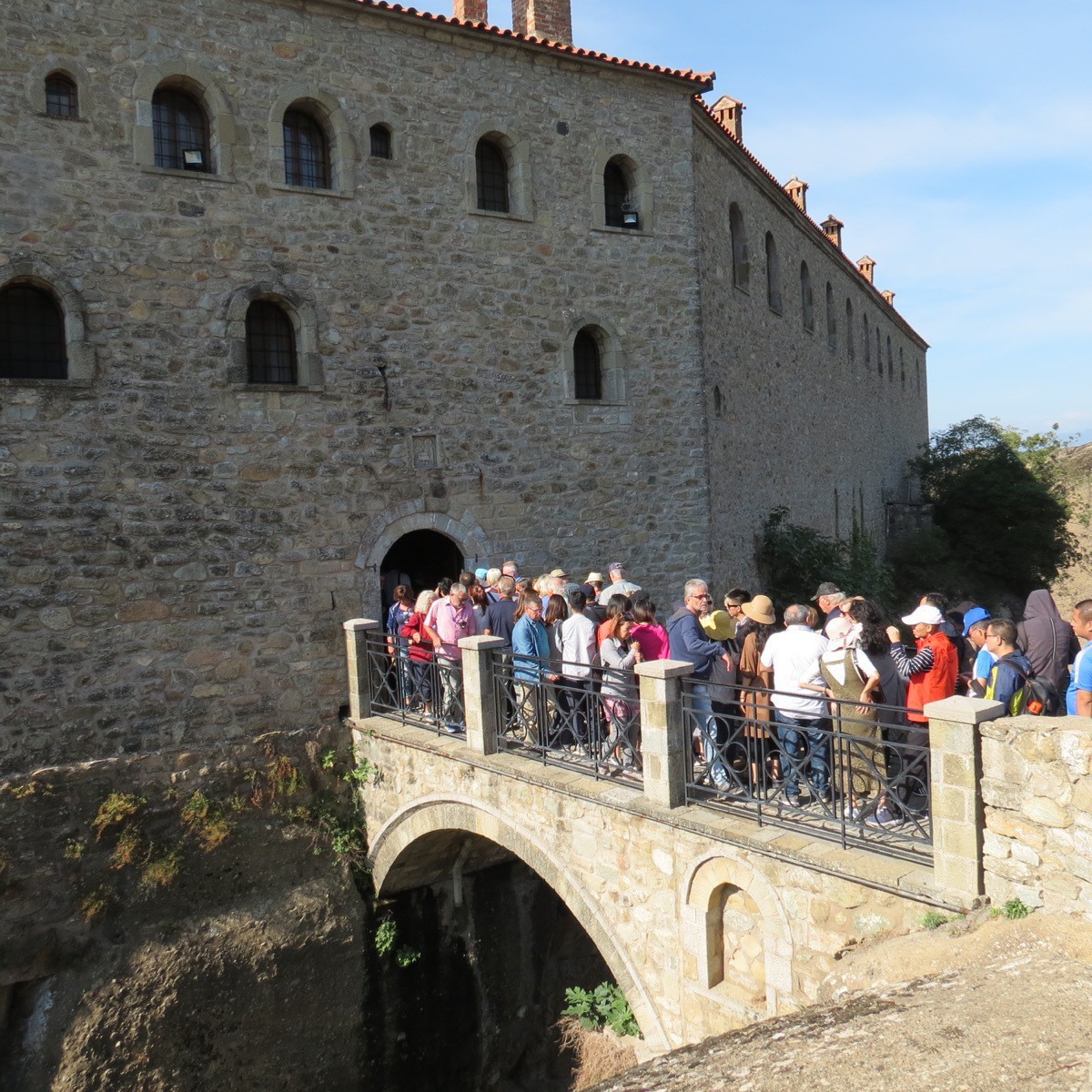
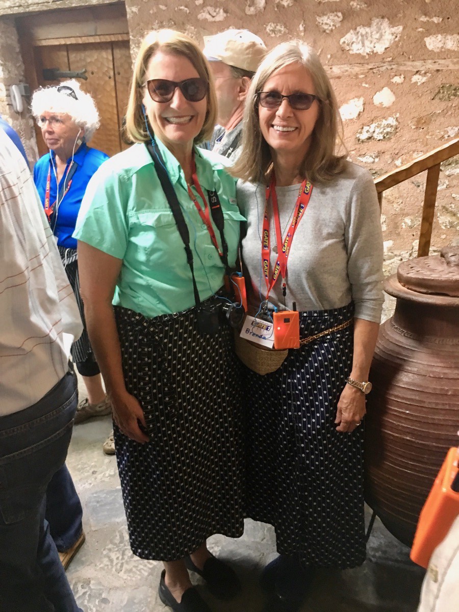
Here we were given a little more subtle pattern of wrap skirts for our tour!
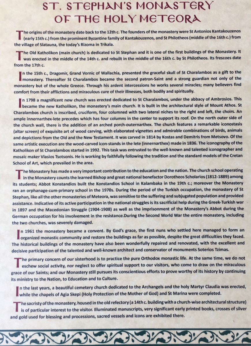
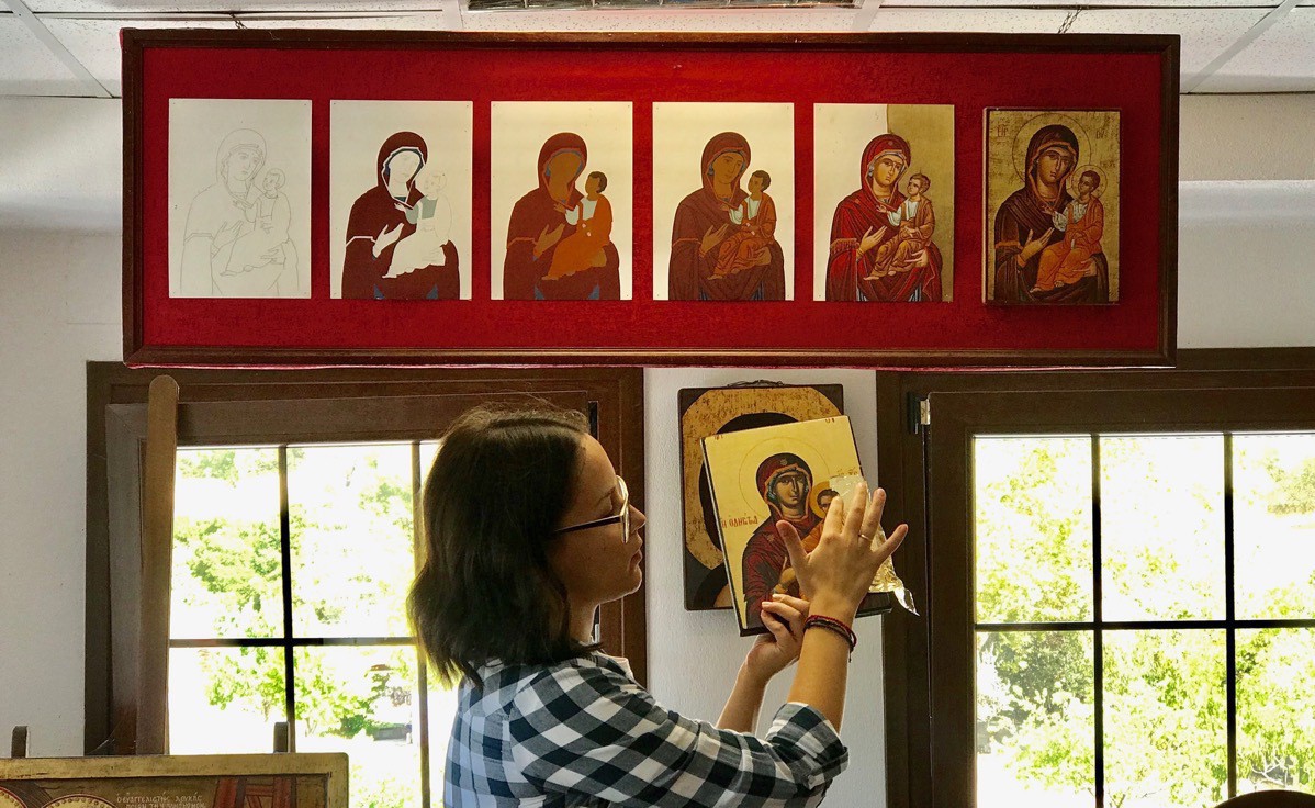
After the monastery and nunnery we stop at a shop where we were shown how the iconic paintings are created.
-
Athens Day 3
After eating breakfast at the hotel, we boarded our tour bus and took a tour of Athens. Our first stop was at the Panathenaic Stadium where we walked yesterday.
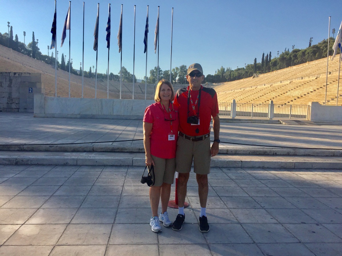
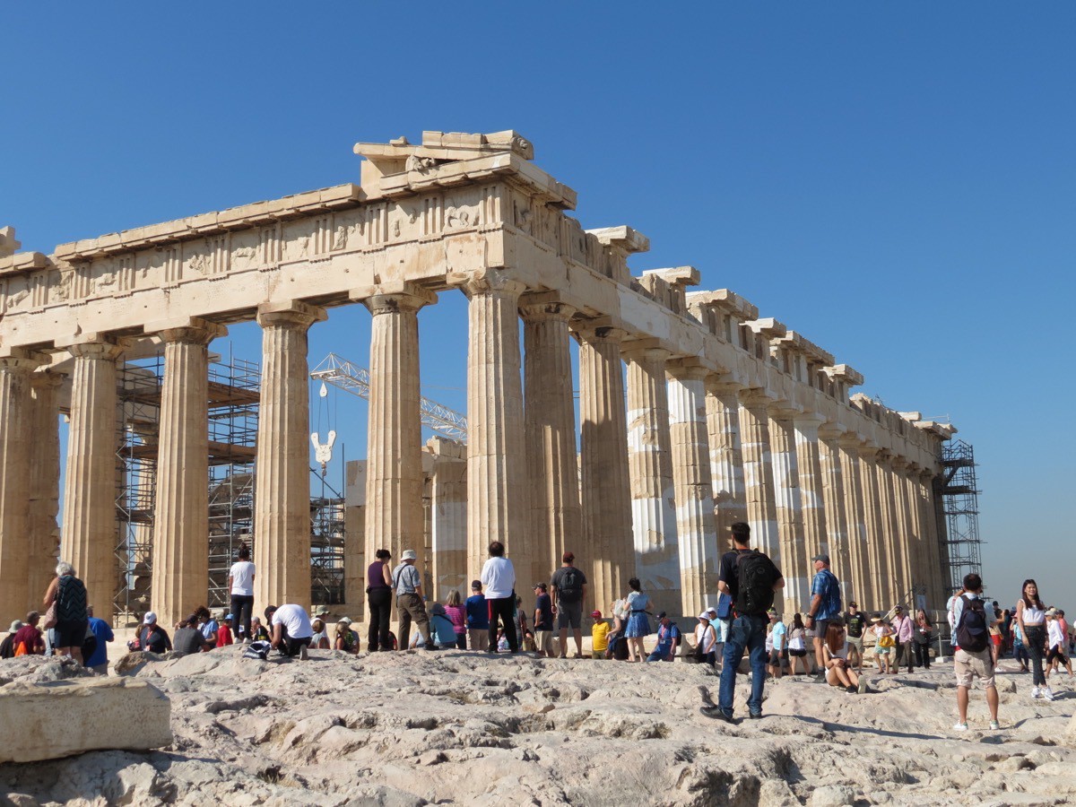
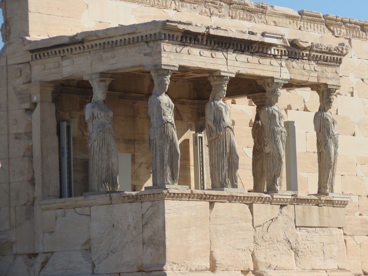
After our tour guide Anna pointed out many of Athens’ landmarks, the bus driver dropped us off at the foot of the Acropolis. From there we walked to the top to view the Parthenon and other historic ruins. Apparently 7.2 million (that’s almost 20,000 people each day) tour the Acropolis each year so we were lucky to be with our tour guide and not have to wait in the long lines to buy a ticket. The walking area on the top of the Acropolis is marble and is not level and very slippery. The temperature was 88 while we were up.
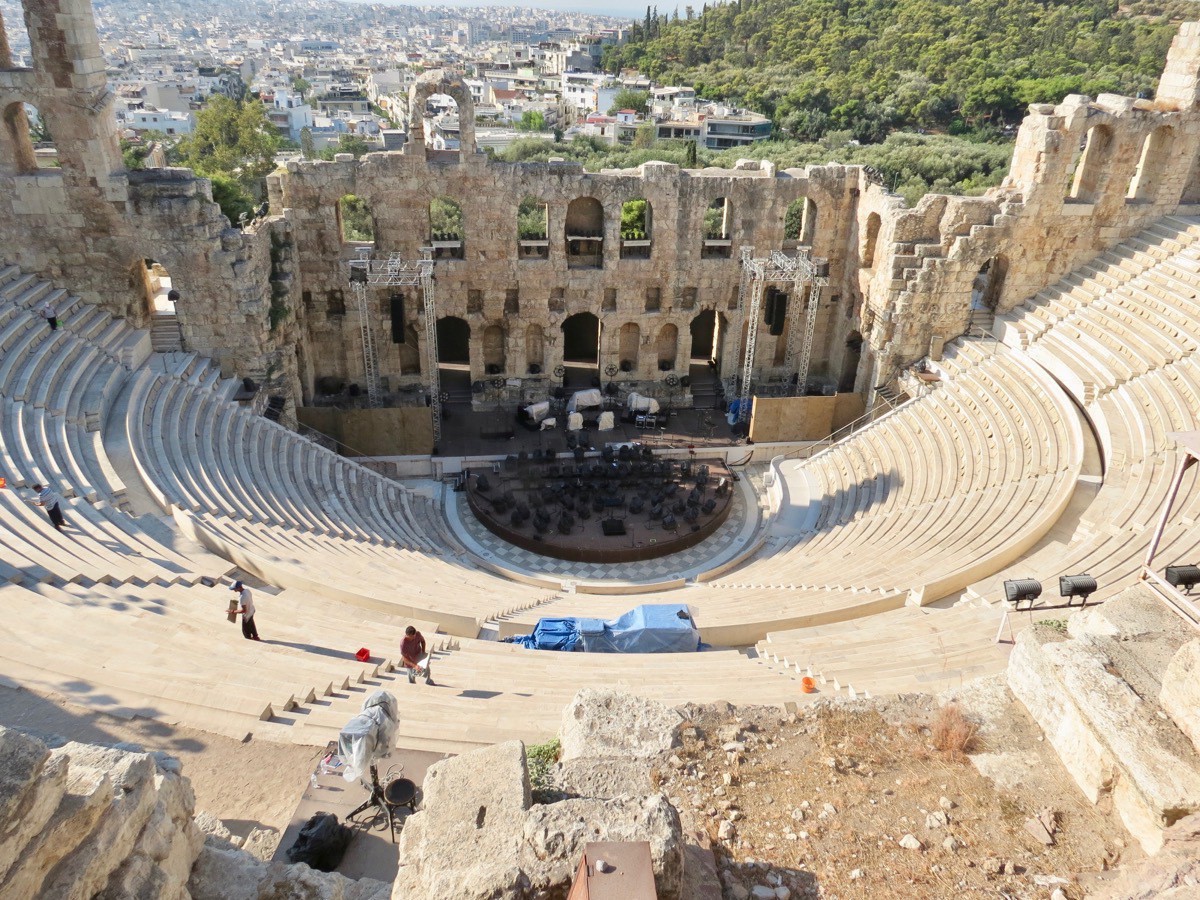
This is the theatre located on the Acropolis that holds 6,000 people. It is still used as a venue for concerts. In fact, there were two sold out concerts the two nights we were there.
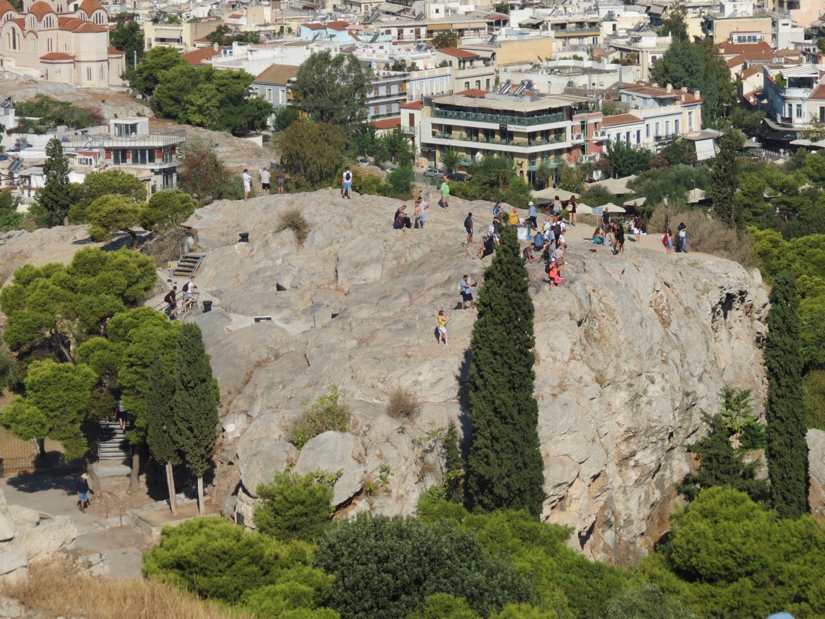
This rock mass is know as Judicial Hill (and also Mars). In classical times, it functioned as the court for trying deliberate homicide, wounding and religious matters, as well as cases involving arson or theft of olive trees. It was totally outdoors with no roof because a judge was never under roof with convicts for the hearing of these crimes.
After a delicious lunch in Plaka, the old historical neighborhood of Athens filled with many shops and restaurants before walking back to the hotel for an afternoon nap.
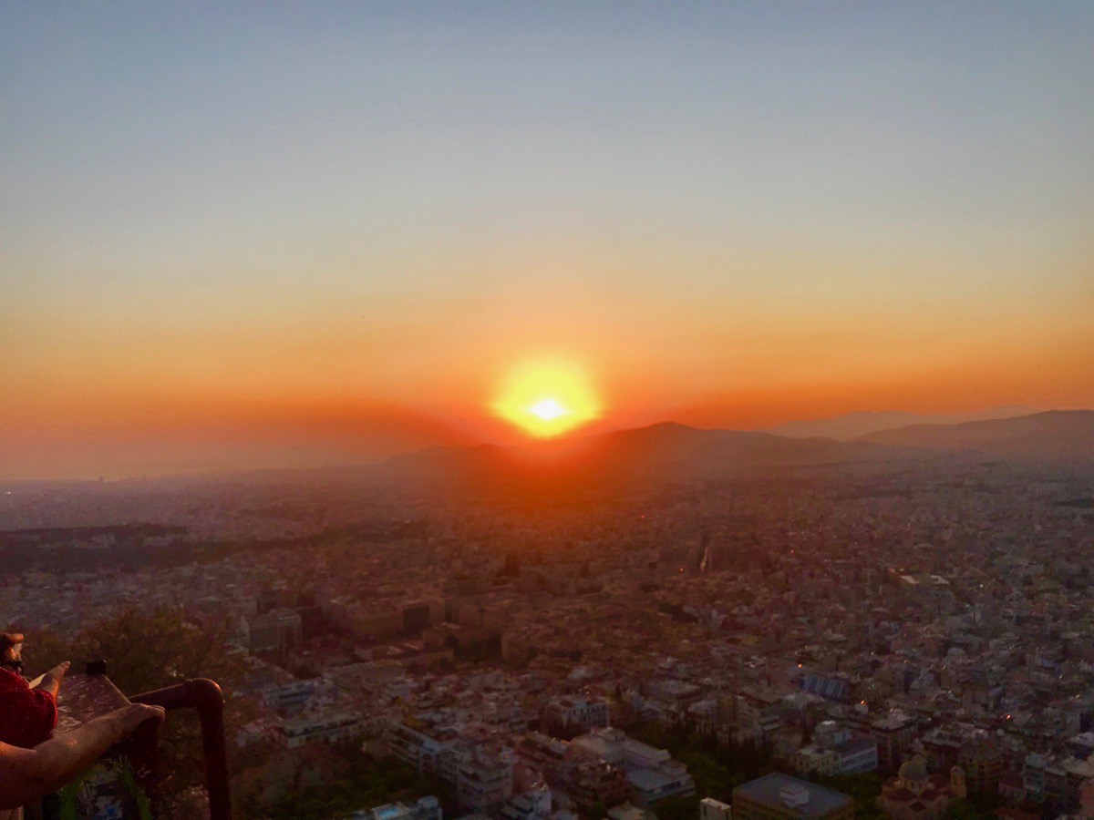
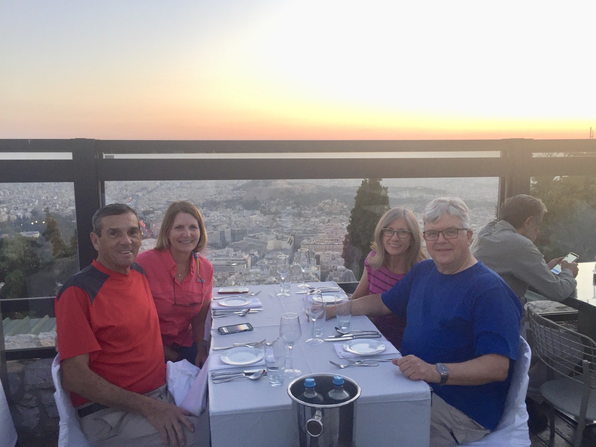
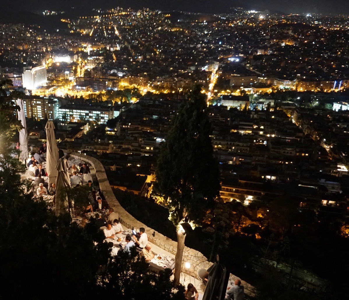
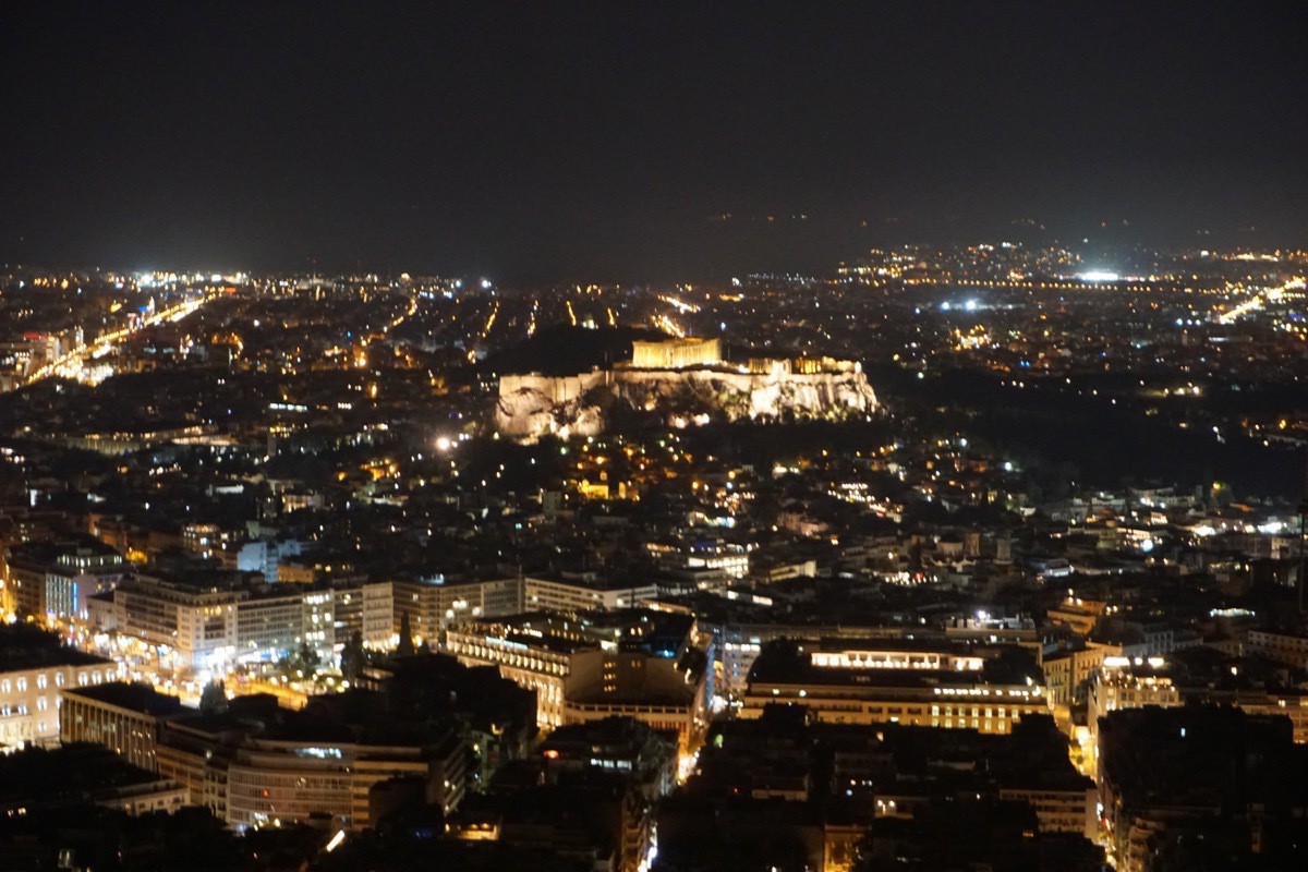
In the evening we took a taxi to the base of Lykavittos Hill, the highest point in Athens, where we rode a funicular to the top. There is a whitewashed chapel of St. George. There is a patio where we viewed the beautiful sunset before eating a wonderful dinner at the restaurant where we enjoyed seeing the beatiful city lights below.
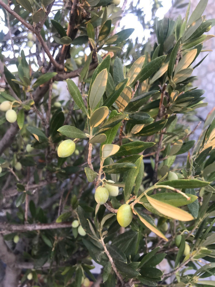
Check out the olives on this olive tree.
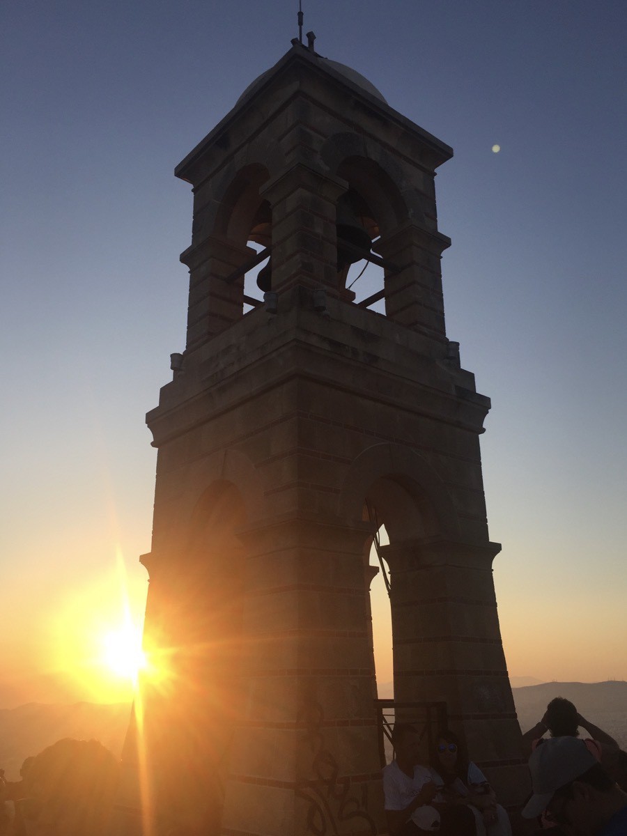
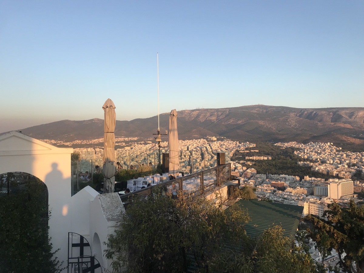
The view of where we ate dinner
-
Athens, Greece - Days 1 and 2
Our flight originated in Lake Charles at 5:45 PM Sunday evening with a short flight to Houston. We left Houston at 9:10pm and arrived in Istanbul, Turkey eleven hours and ten minutes later. We changed planes and then flew from Instanbul to Athens, Greece. We arrived at the Athenian Callirhoe Hotel around 10:30 pm on Monday night.
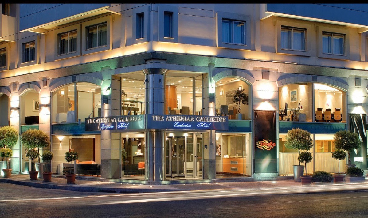
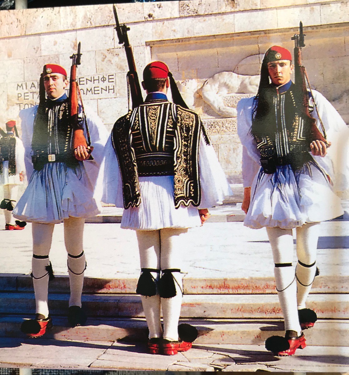
Our hotel is located at the corner of Petmeza and Kallirrois, an easy walk to the Acropolis, Haidan’s Gate, The Plato (shopping area) and many must-see sites in Athens. After breakfast at the hotel we set out walking around town to see the sights. Our first stop was the Old House of Parliament.
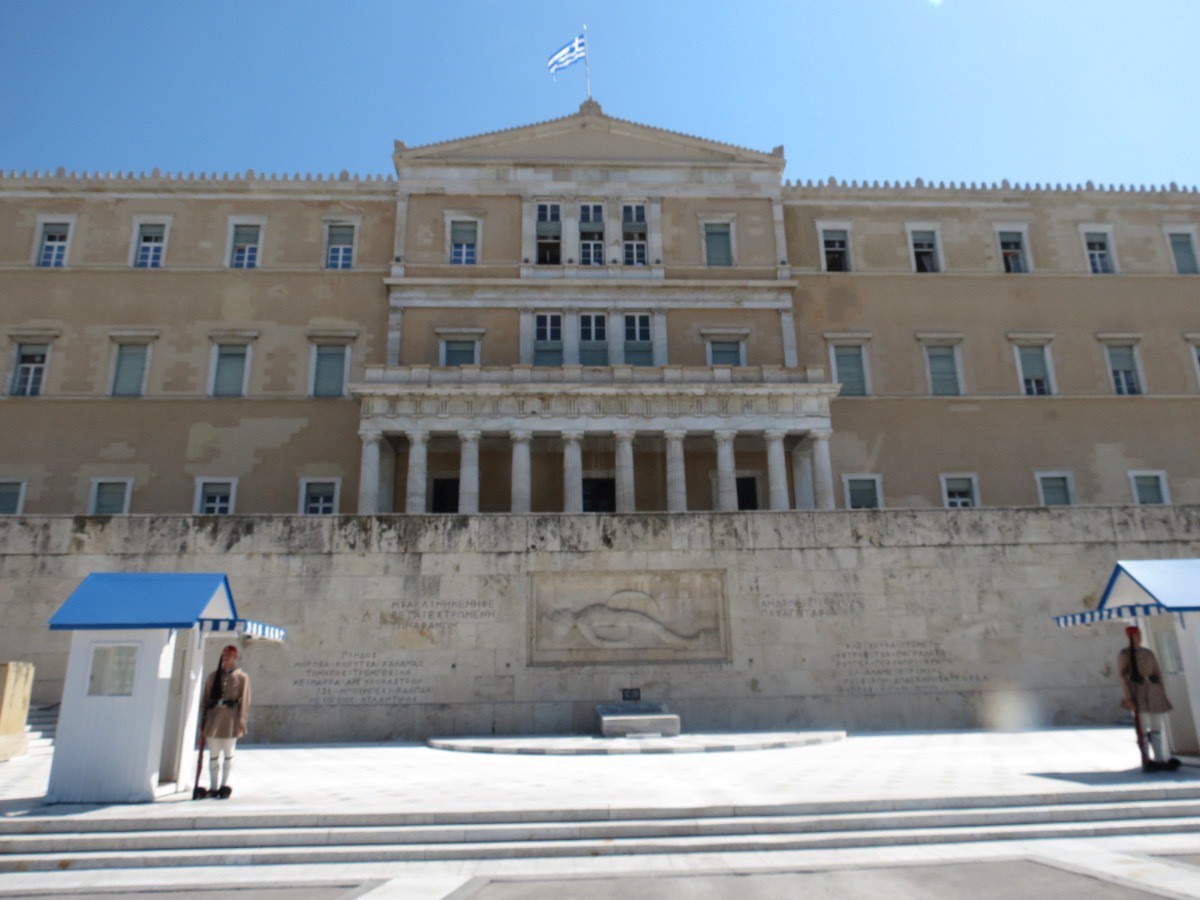
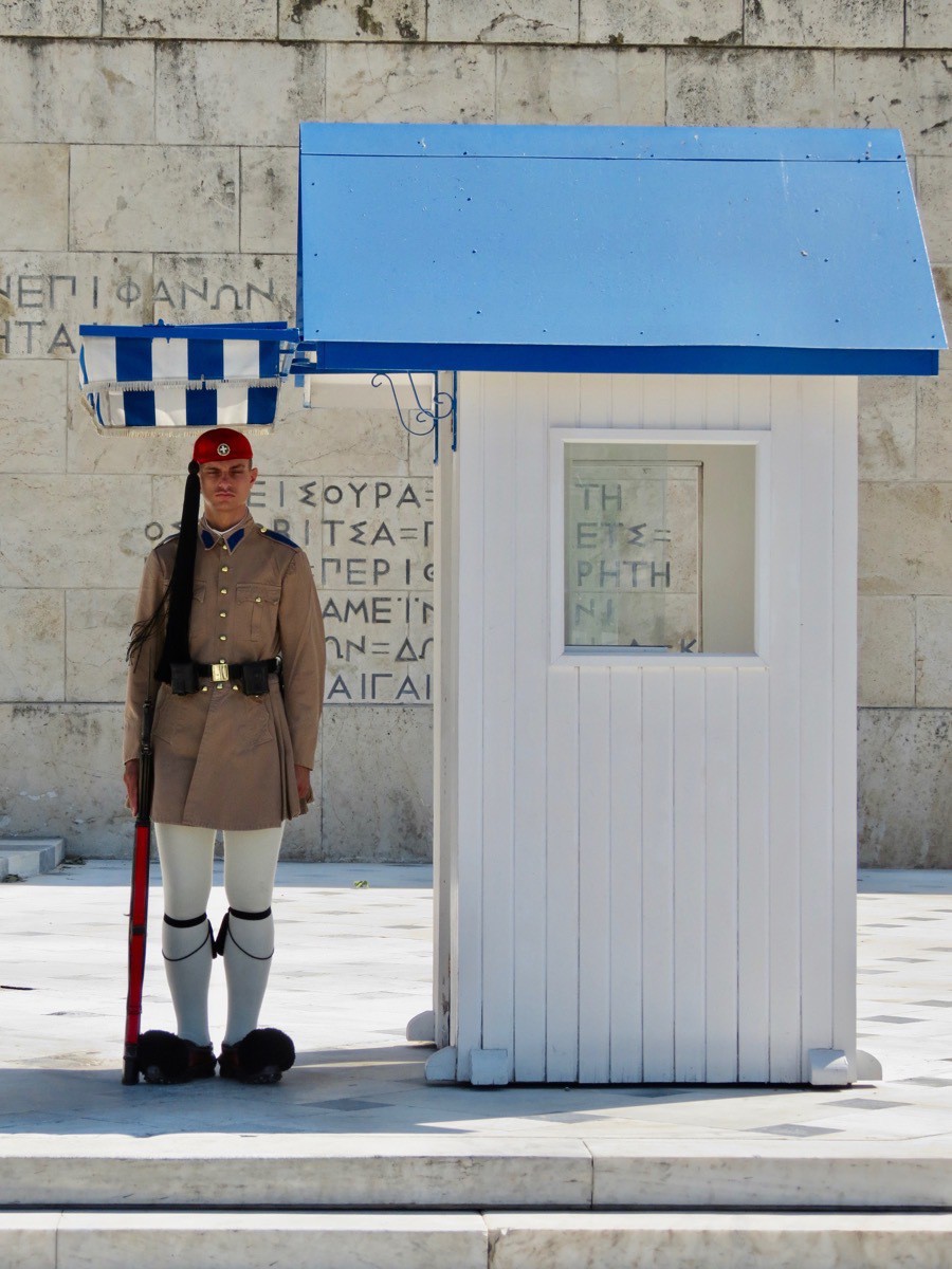
Check out the fashionable shoes worn by the guards! These are their summer uniforms. The picture below represents their dressier uniforms.
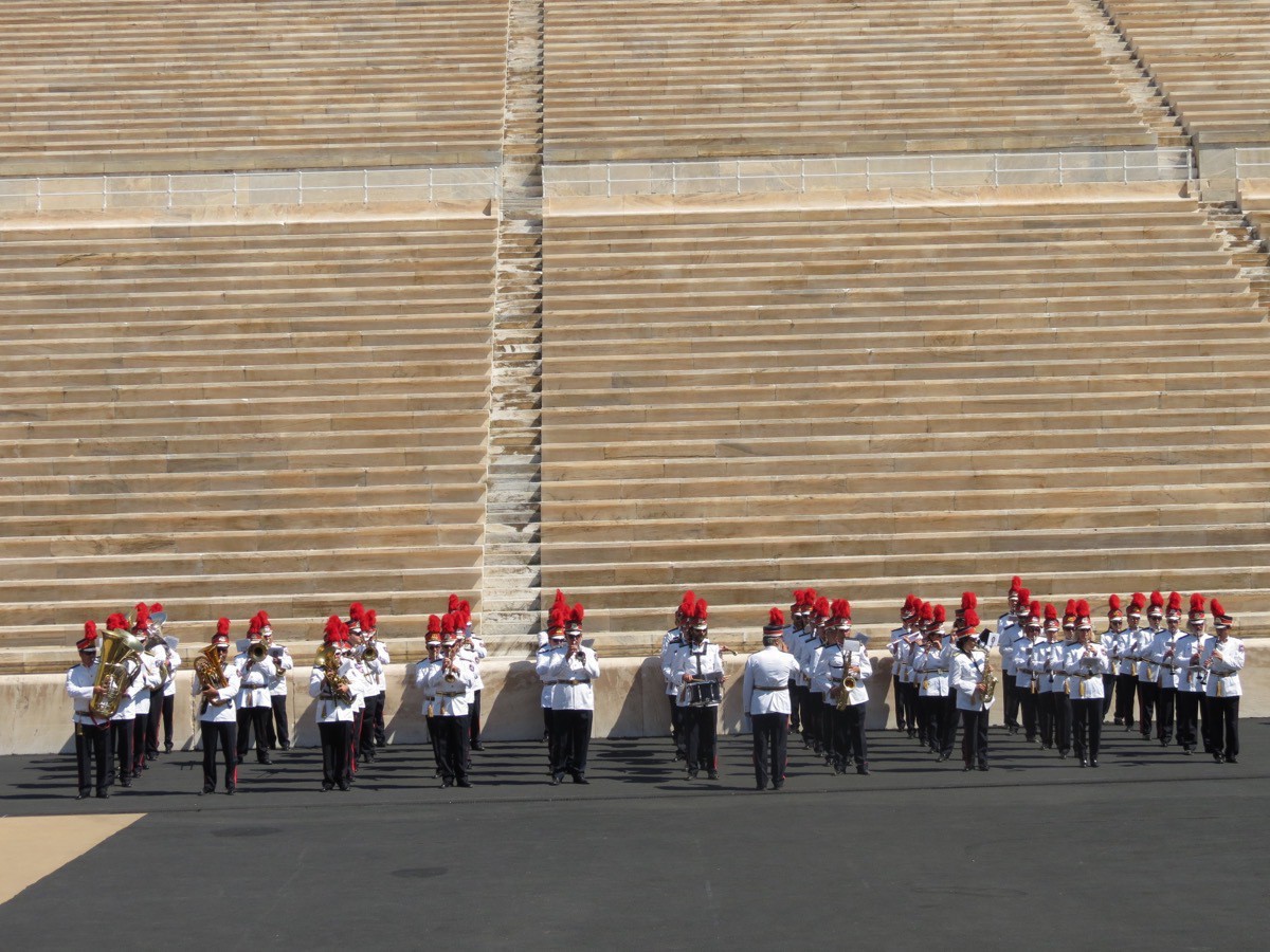
After seeing the Old Parliament House we walked to the Olympian Stadium and were able to see the very end of the opening ceremony for the kids. There must be an official band for such occasions because the band was all adult males.
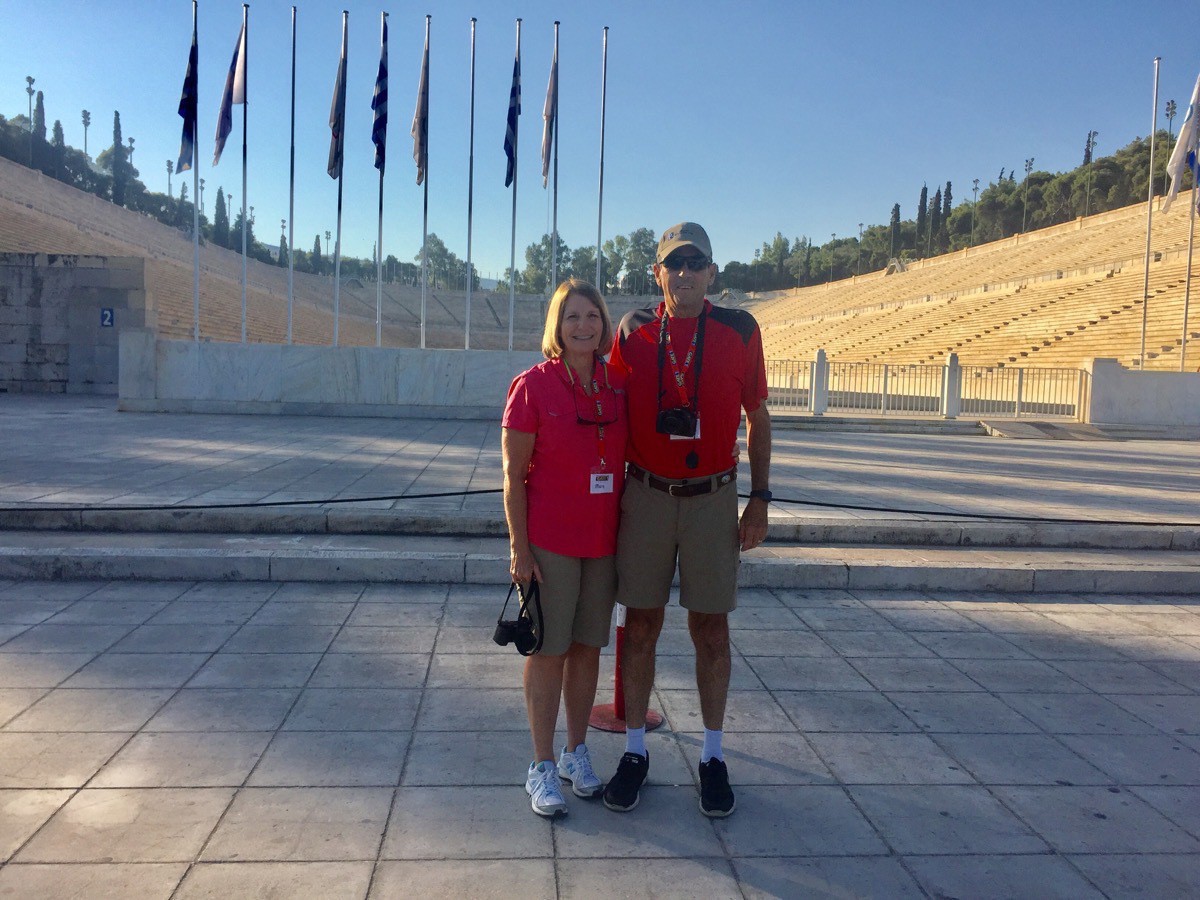
The stadium was excavated in 1869 and hosted the Zappas Olympics in 1870 and 1875. After being refurbished, it hosted the opening and closing ceremonies of the first modern Olympics in 1896 and was the venue for 4 of the 9 contested sports. It was used for various purposes in the 20th century and was once again used as an Olympic venue in 2004. It is the finishing point for the annual Athens Classic Marathon. It is also the last venue in Greece from where the Olympic flamehandover ceremony to the host nation takes place. It is the only stadium in the world made entirely of marble. Record attendance was 60,000 although the stadium officially holds 44,000.
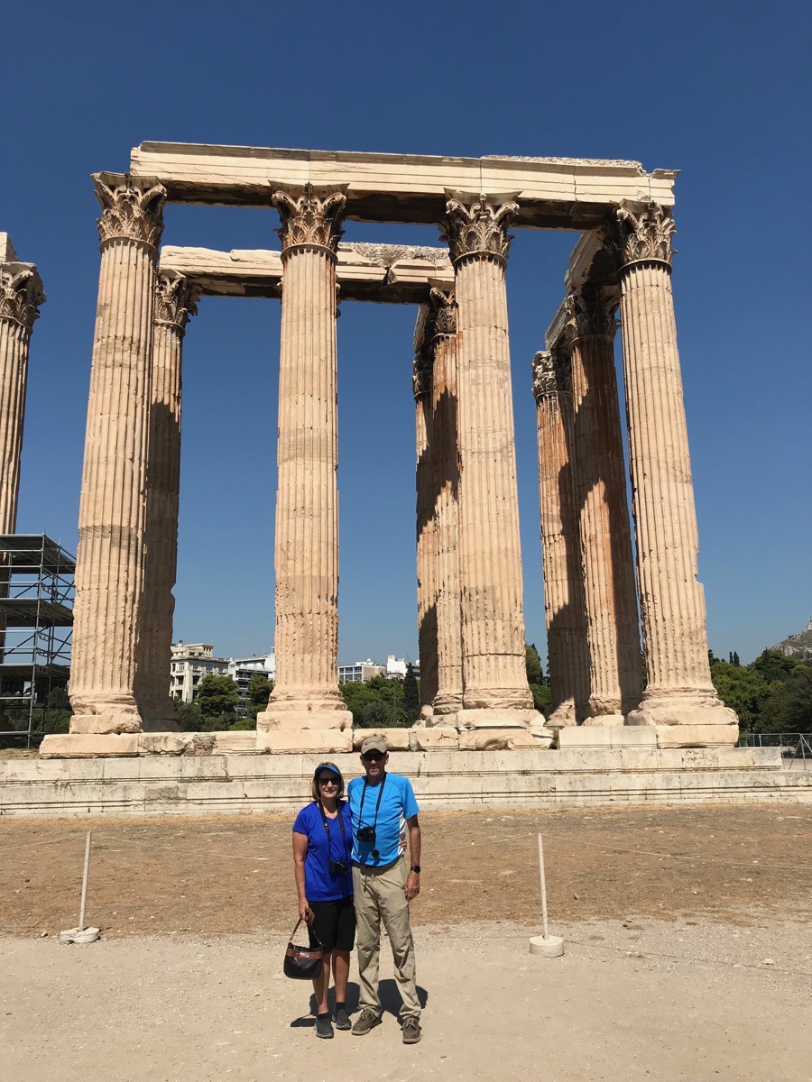
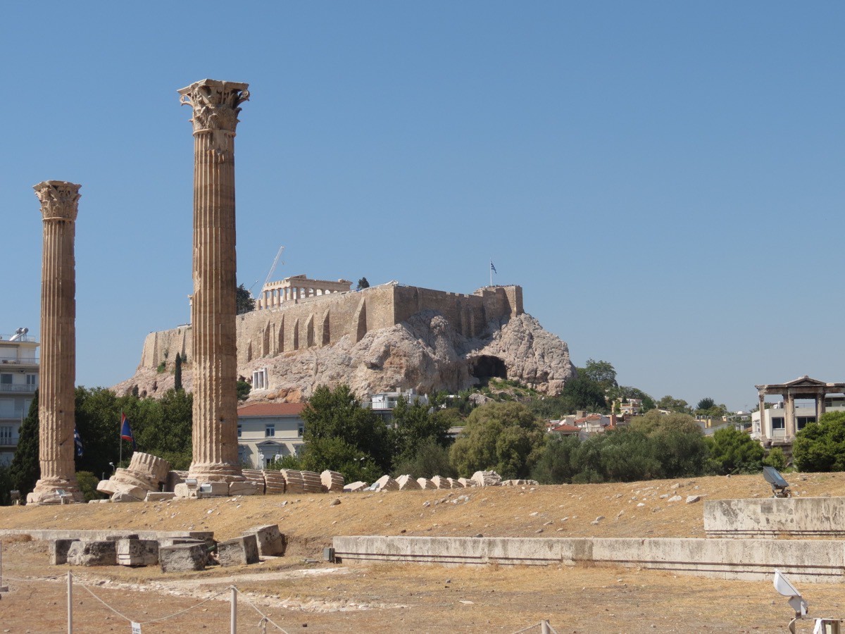
The next stop was the The Temple of Olympian Zeus. The construction began in the 6th century B.C.during the rule of the Athenian tyrants, who envisaged building the greatest temple in the ancient world. It was not completed until 638 years later until the reign of the Roman Emperor Hadrian. The temple only lasted around 100 years when it was pillaged during a barbarian invasion. It was probably never repaired and bit by bit pieces were used to construct other projects.
At its peak the temple had 104 columns, Fifteen columns remain standing today and a sixteenth column lies on the ground where it fell during a storm in 1852. Nothing remains of the cella or the great statue that it once housed.
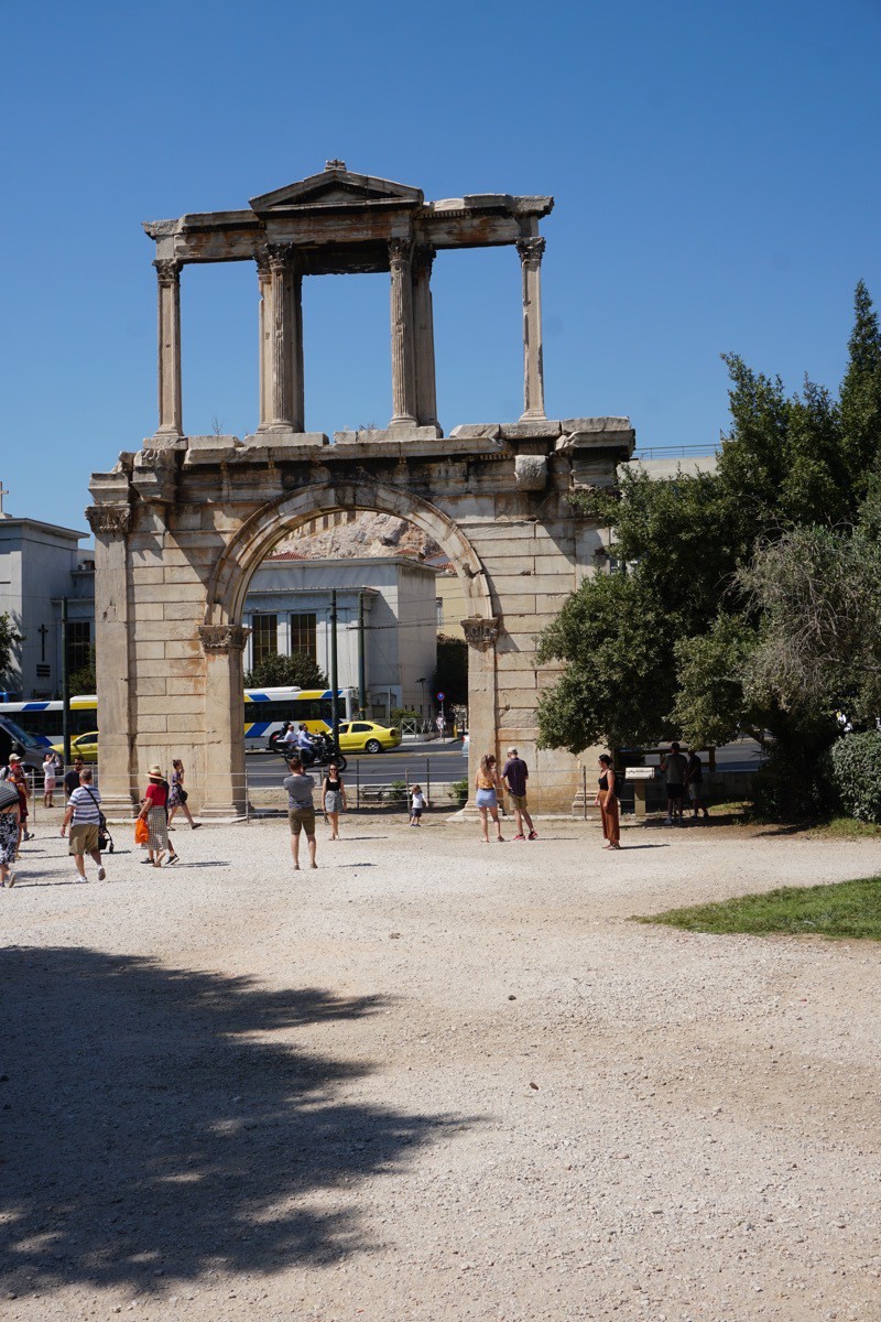
This was Hadrian’s Gate. On one side is inscribed: "This is Athens, the ancient city of Theseus.” On the other side the inscription reads, "this is the city of Hadrian, and not of Theseus"
After eating lunch at one of the outside restaurants in the Plaka area , we walked the whole area and went inside most of the shops to look around.
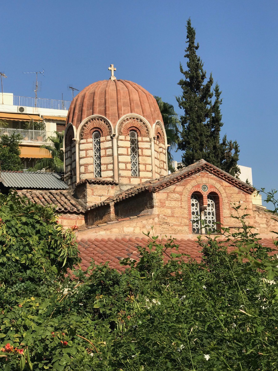
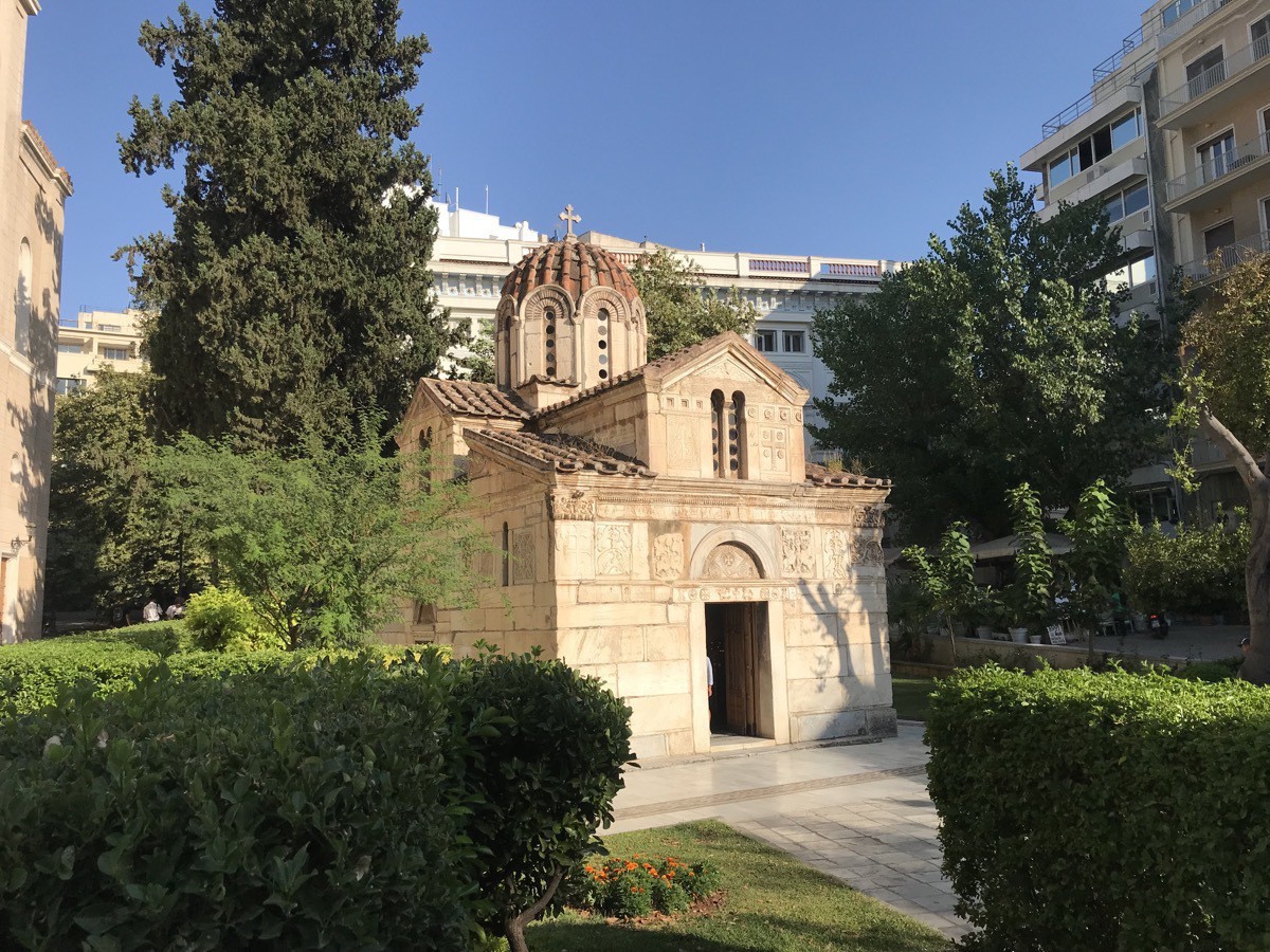
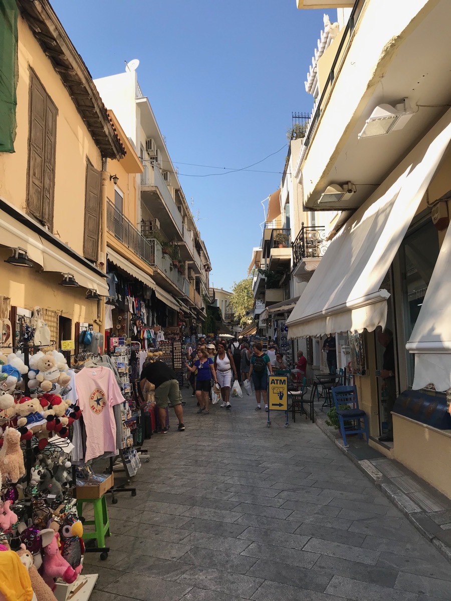
This is the old town market called the Plaka. Dan, Brenda and I walked these streets and checked out the merchandise along the way.
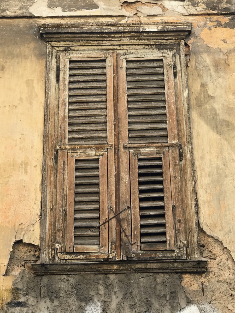
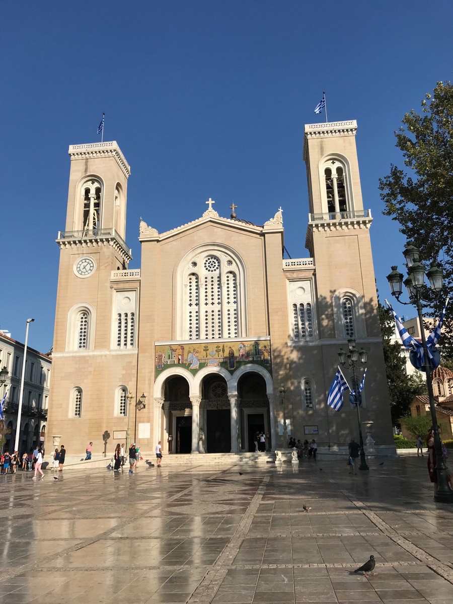
We walked 8.07 miles-19025 steps before dinner.
Tonight at 7:00 we had a meeting with some drinks and light snacks to meet the people we will be spending the next two weeks with. The group consists of 41 people from Washington, California, Illinois, Louisiana, Texas, Illinois , Florida and Illinois that I can remember . After the meeting we went up to have a dinner and the eight floor. It was a beautiful room with one who wall opened to see the Acropolis
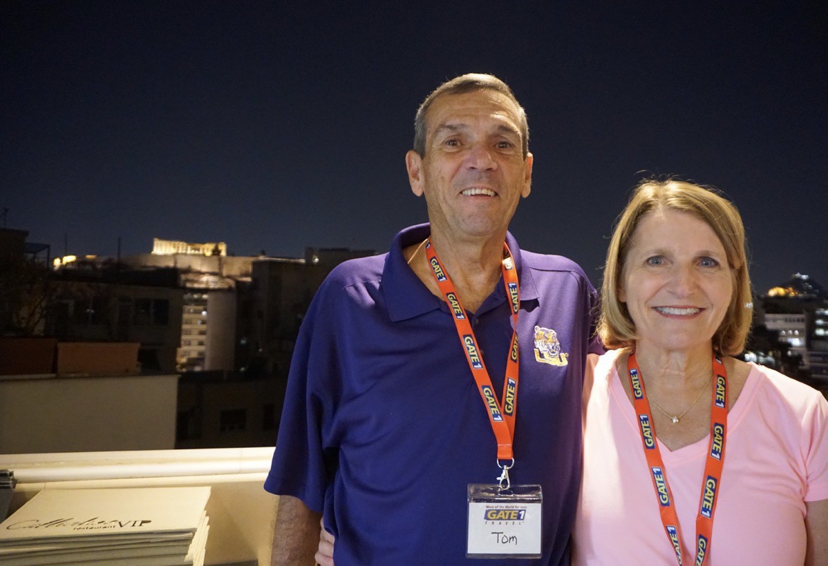
This was taken in the restaurant. One compete wall opened to get a great view of the Parthenon. -
Royal Gorge - Canon City, CO (Day 86)
Royal Gorge
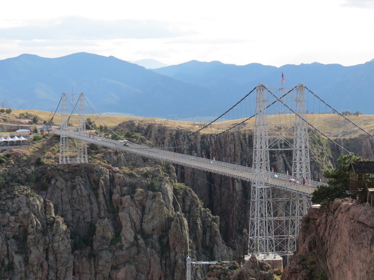
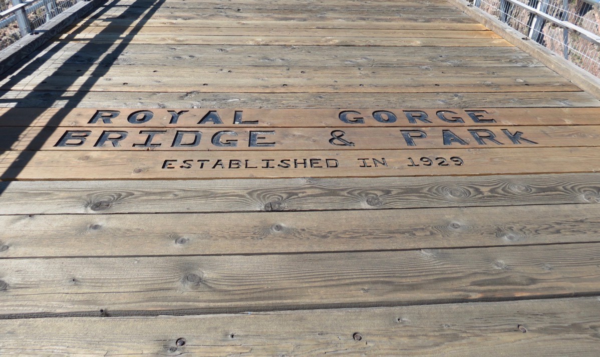
This morning we drove to the Royal Gorge Bridge and Park which was only a few miles from our campground. The park has the highest suspension bridge in the United States at 1,053 feet above the roaring Arkansas River. The canyon walls in this area rise as high as 1,250 feet and are as narrow as 50 feet at the base along the river. The bridge is 1,280 feet long and was built in 1929 as a tourist attraction.
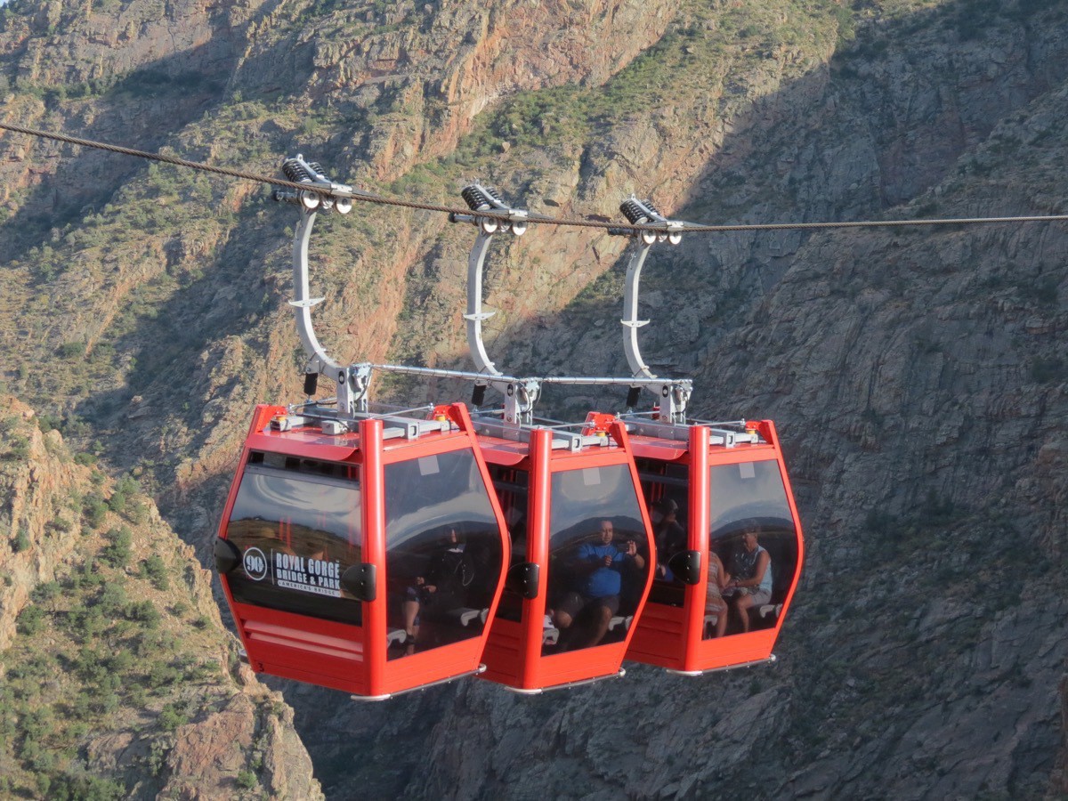
The optimum way to tour the park is to ride the gondolas across and then walk down a steep hill to walk back across the bridge. However, we arrived at the park at the same time as three tour buses so the line for the gondolas was longer than we wanted to wait. Instead, we walked across the bridge and then walked uphill to the gondola line on the other side (there was no line) and rode the gondola back to the other side.
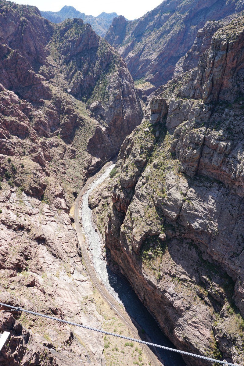
The view of the Arkansas River from the bridge.
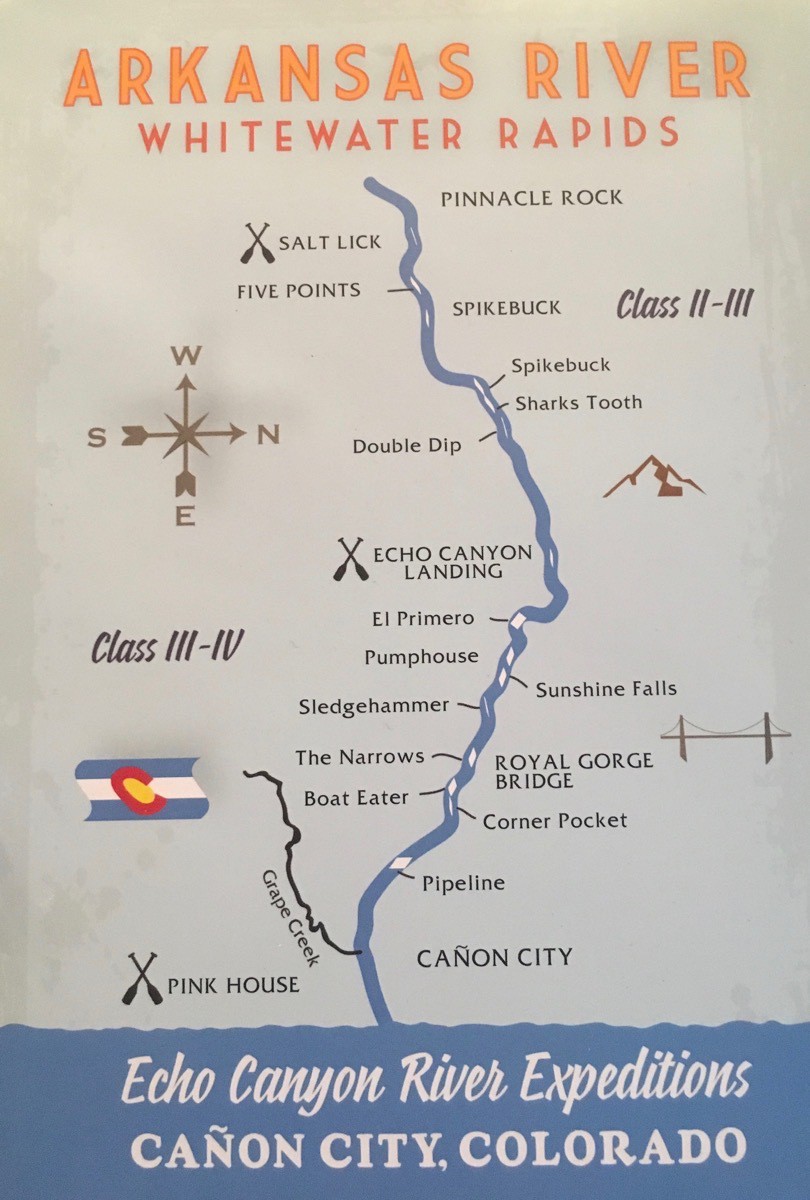
We had to leave the park after just walking the bridge and riding the gondola because we needed to eat lunch and go to Echo Canyon River Expeditions where we had scheduled an afternoon white water rafting trip.
Echo Canyon River Expeditions
Our trip was 10 miles of whitewater on the Arkansas River with class III and class lV rapids. The raft trip was $82,50 each and I paid $69 for the pictures—I am such a sucker for photos!
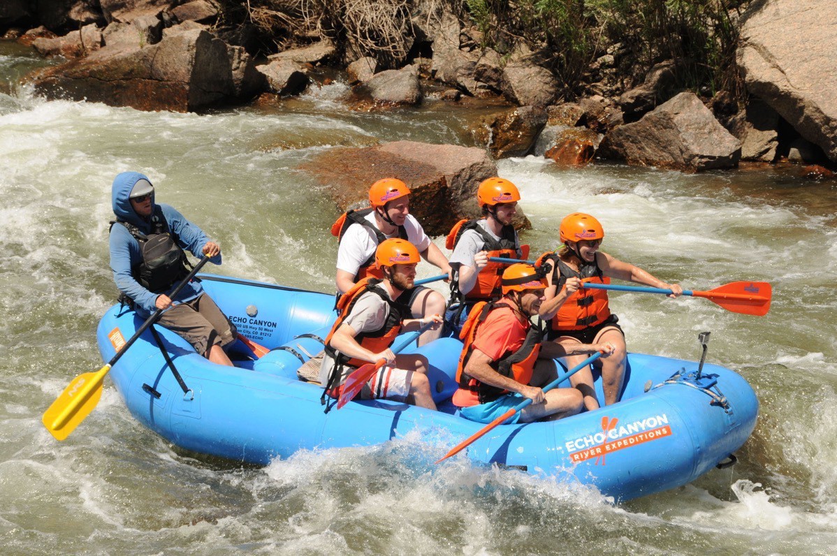
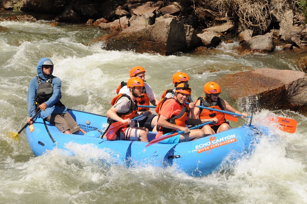
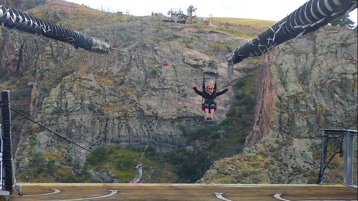
Zip lining over the Royal Gorge in the Royal Gorge Park
After we finished our whitewater trip we drove back to the Royal Gorge Park because I wanted to zip line over the Gorge. The zip line was $45 (and totally worth it, but I also chose to pay $30 to get a video a a few pictures of my epic flyover).
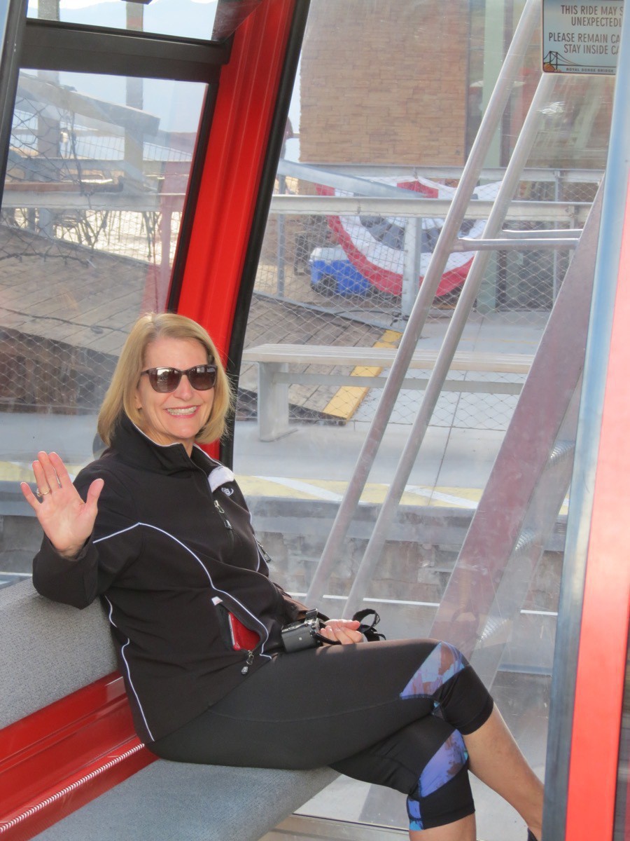
I am in the gondola ready to ride across the gorge so I can zip line back!
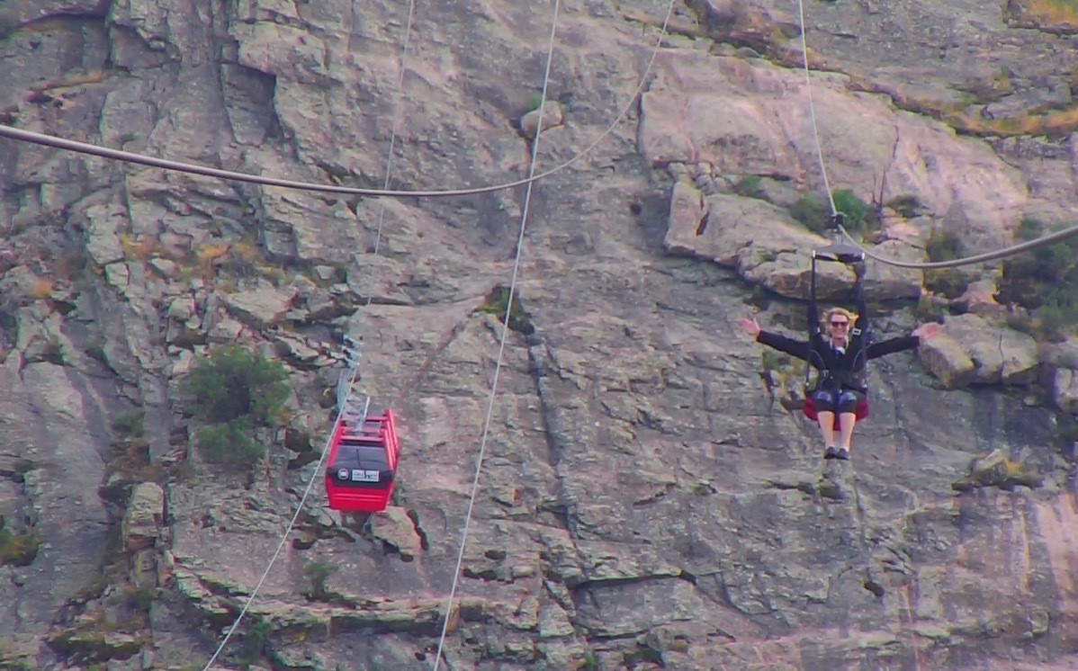
Zip lining across the gorge!
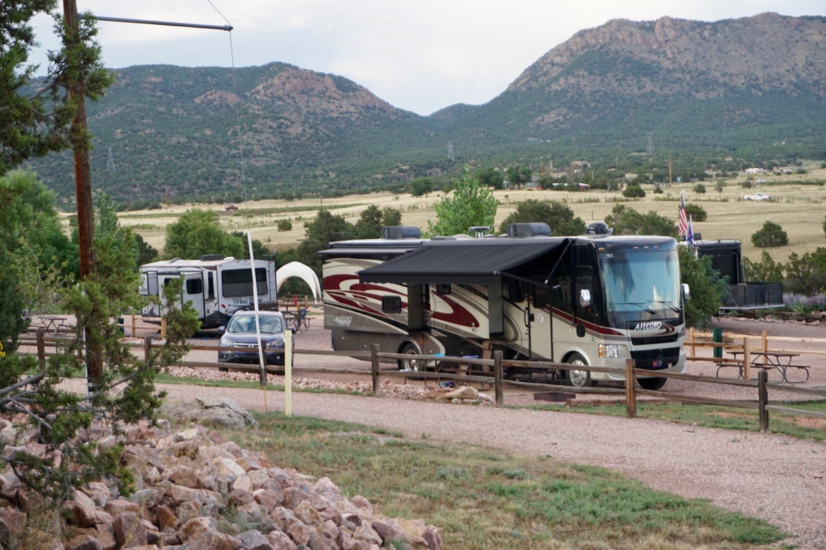
Big Hat parked in our spot in the Royal View Campground
Trip Data:
- We stayed at the Royal View Campground for two nights at $54.13 a night. We’ve spent a total of $3,252.89 or an average of $38.27 per night.
- We’ve driven 4,898 miles in Big Hat and 3,823 in the car for a total of 8,721 miles
-
Independence Pass, Twin Lakes and Leadville, CO (Day 83)
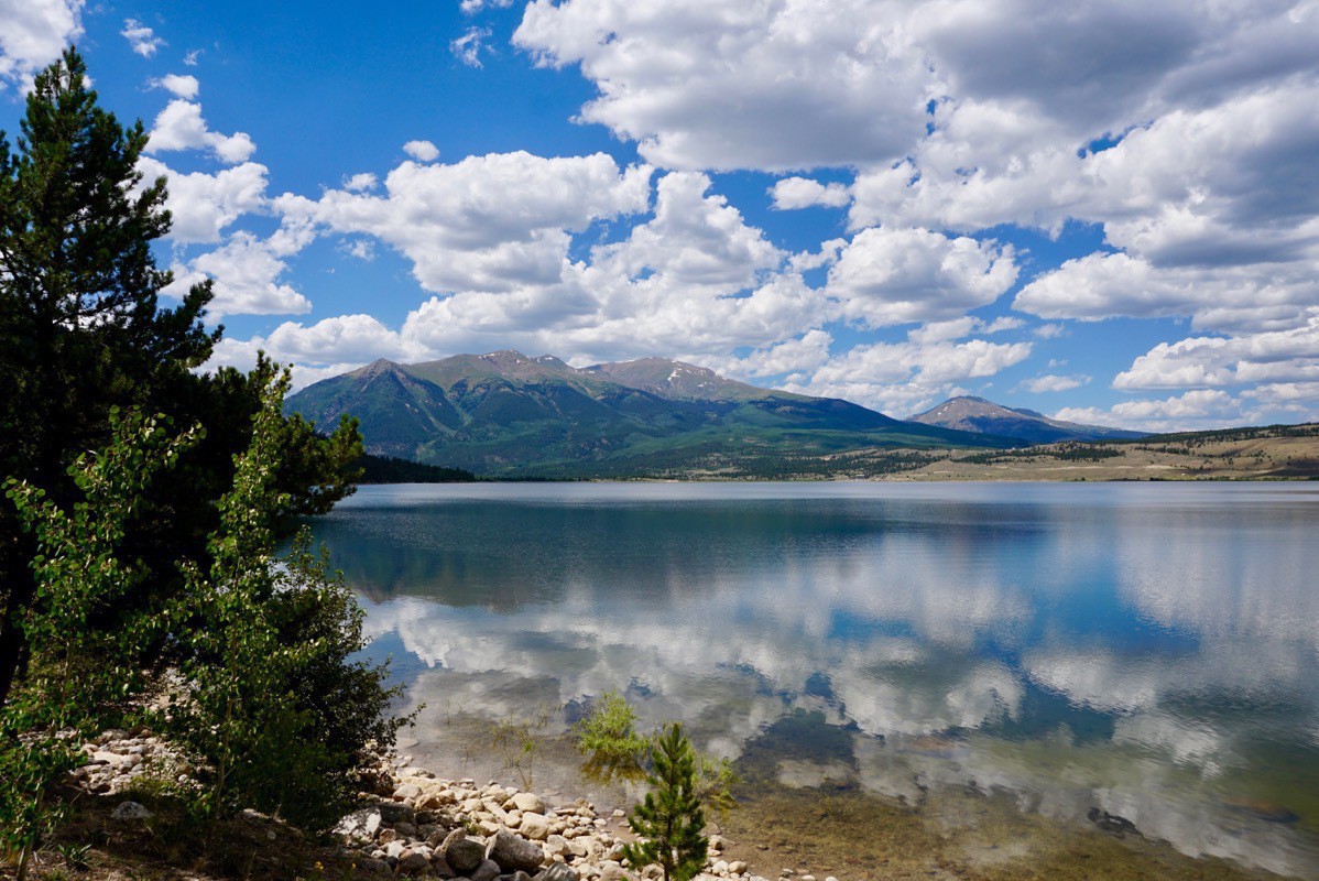
First stop this morning was at the Visitor’s Center in Twin Lakes, a town listed on the National Historic Places. Nearly all of the buildings (less than ten) are of log construction and date from the two decades prior to the turn of the twentieth century. At the Visitor’s Center we were told that we should drive Indepedence Pass to the Continental Divide which is the highest paved road where a Continental Divide is located in North America. The drive was the usual Colorado beautiful with lots of steep narrow turns and sharp drop-offs with no guardrails.
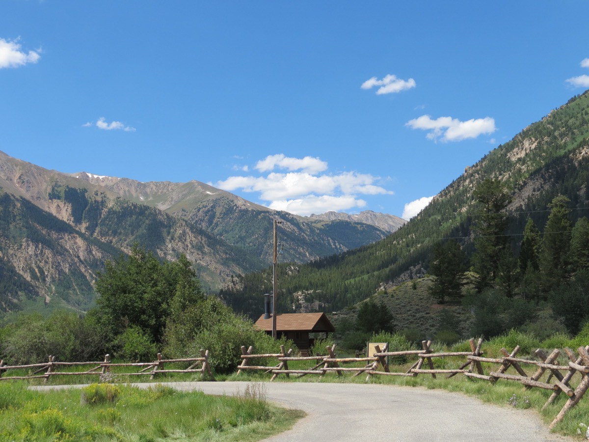
The view from behind the Visitor’s Center in Twin Lakes
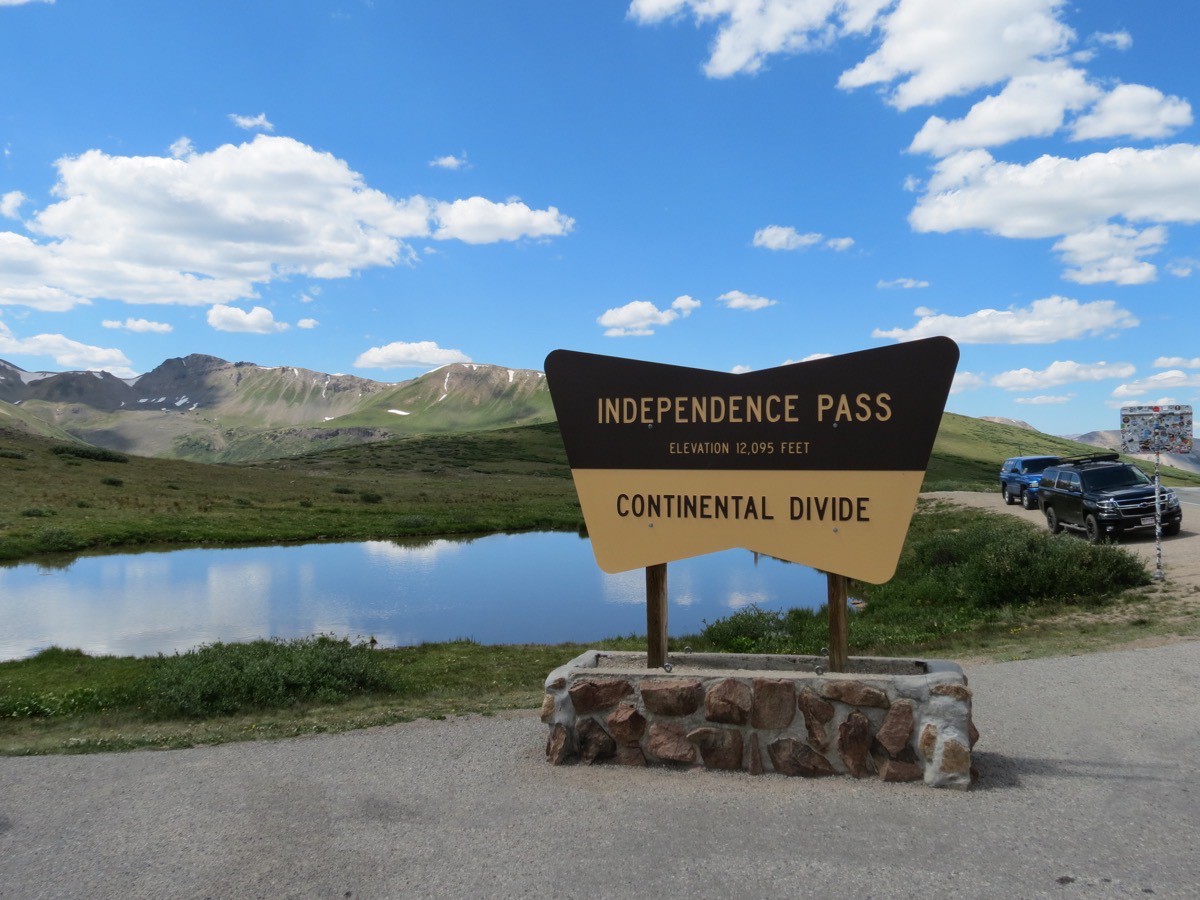
Independence past has an elevation of 12,095’, the highest paved road that crosses the Continental Divide in North America
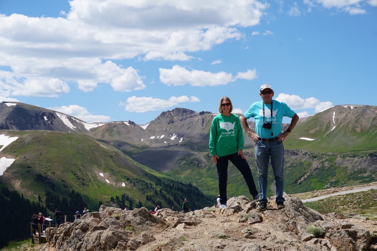
Looking to the east is a view of Mt. Elbert, the highest summit of the Rocky Mountains of North America and the highest point in Colorado.
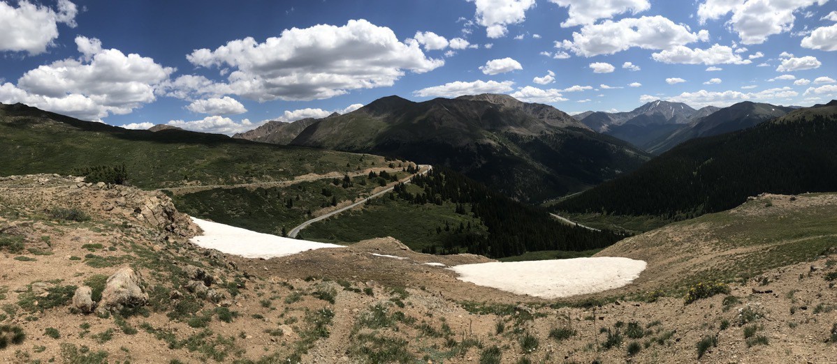
Twin Lakes
After we drove down from the summit we stopped in Twin Lakes to eat lunch at a little food truck called Punky’s Mobile Trailer. Tom had a hamburger with ribbon fries and I had a grilled cheese sandwich.
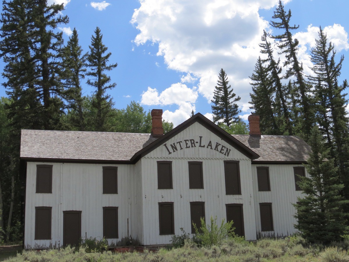
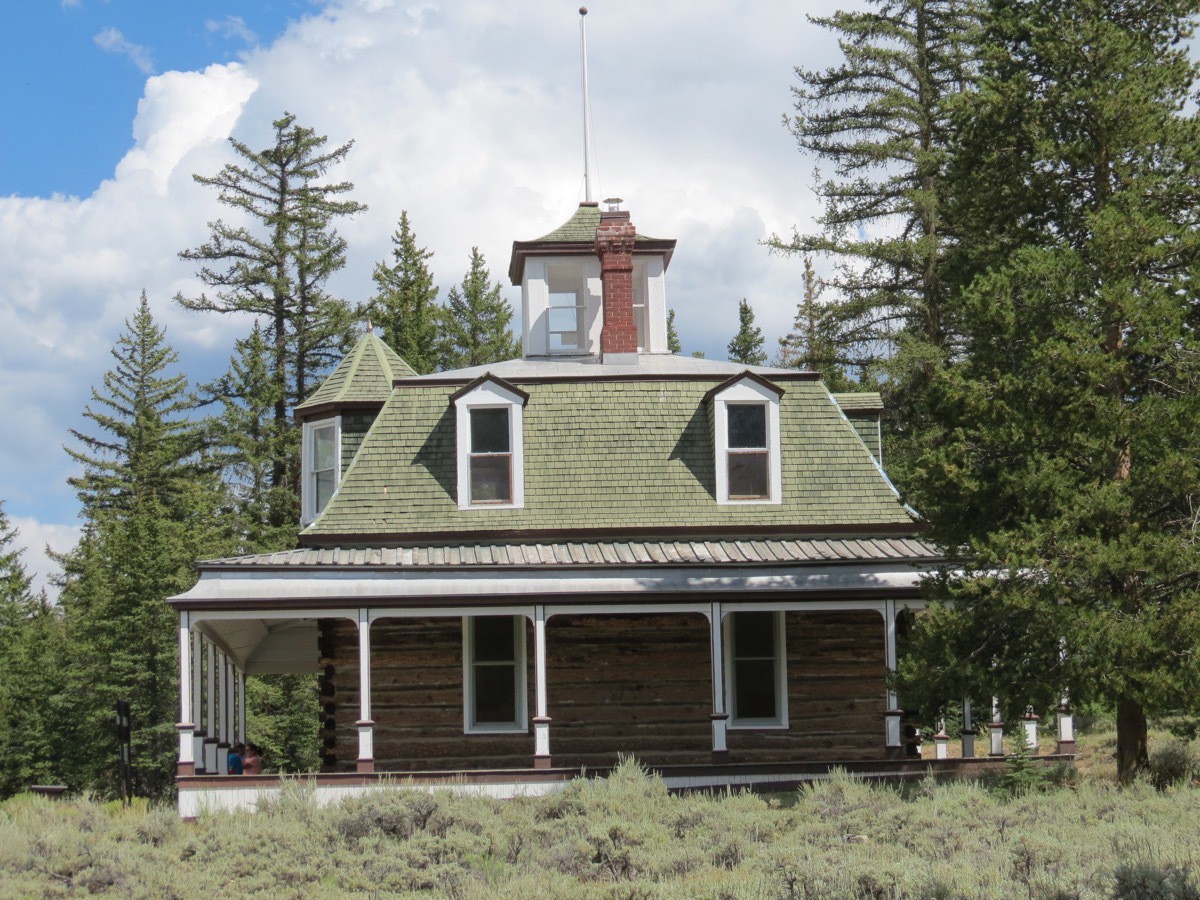
After lunch we took a 5 mile roundtrip hike along the Twin Lakes to the Inter-Laken Lodge and the Dexter Cabin. During the 1800s the lodge was a popular resort for the wealthy. Visitor’s rode a train to a nearby station and then took a short carriage ride to the luxury summer retreat. James Dexter, who purchased the hotel and grounds in 1883, upgraded the facility to include a log tavern, pool hall, a dance hall, an ice house and a six-sided privy that accommodated 6 guests in separate rooms. The resort operated for 25 years.
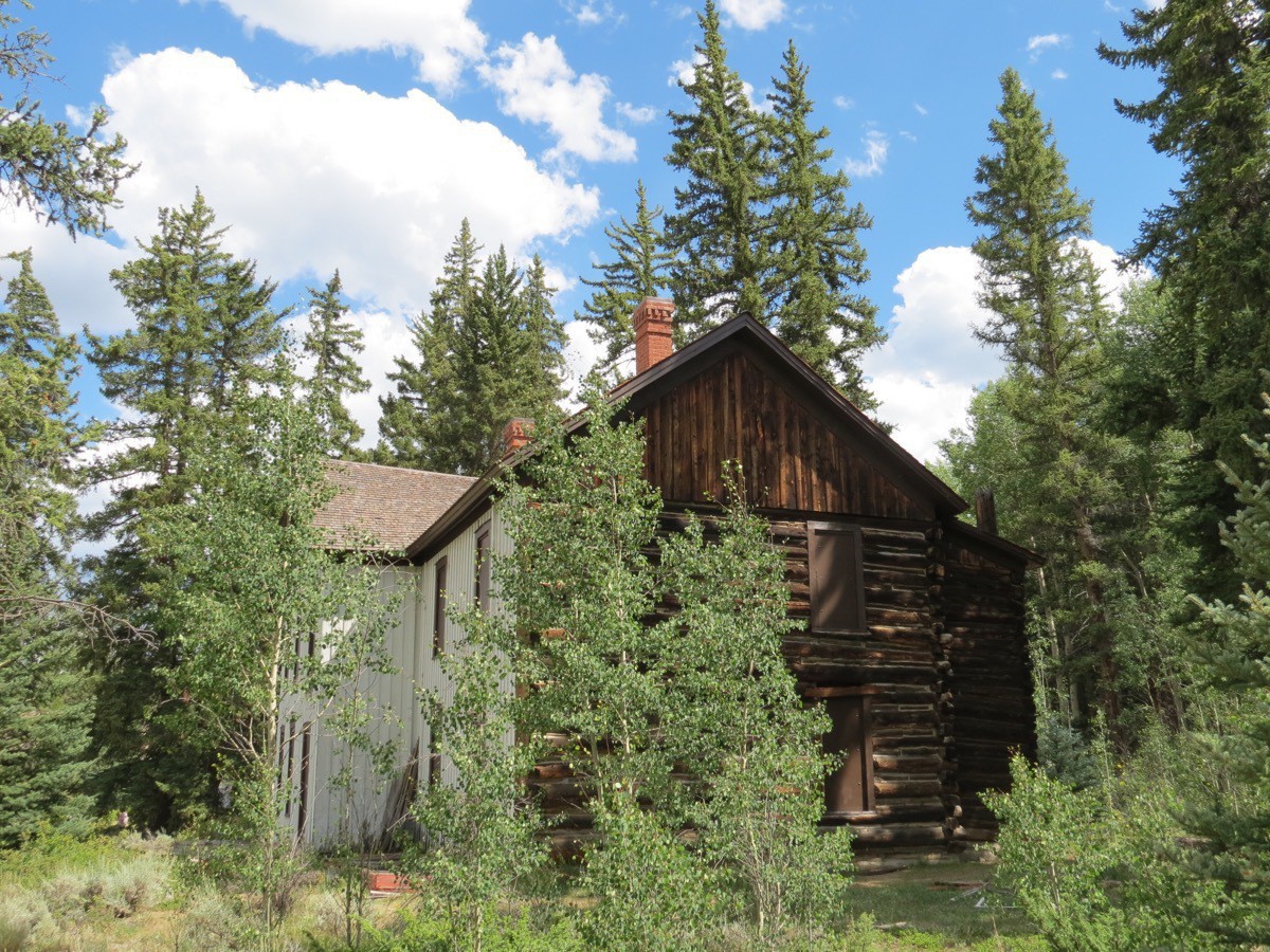
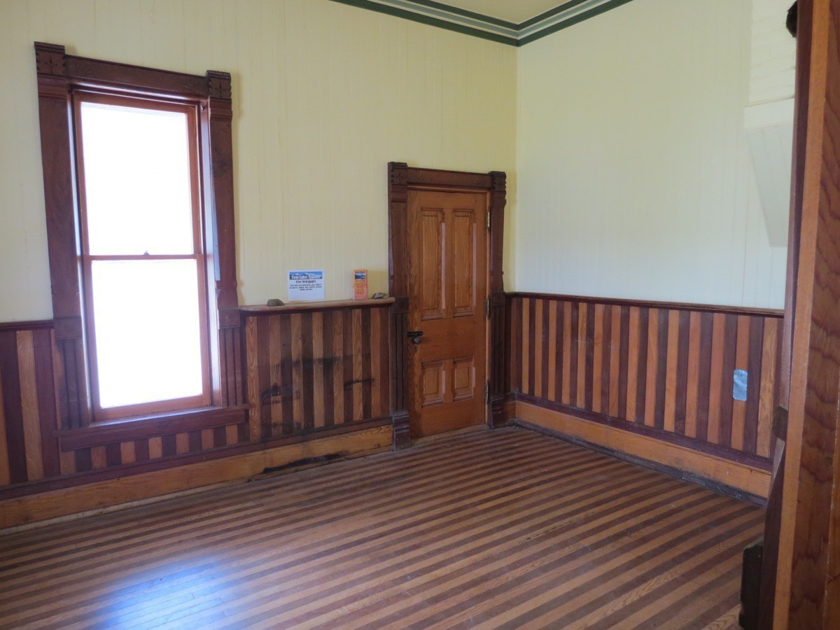
James Dexter, the owner of the Inter-Laken Resort built his own cabin in the mid-1890s. The house is open to hikers to see the restored interior and view the lake from the cupola.
Leadville
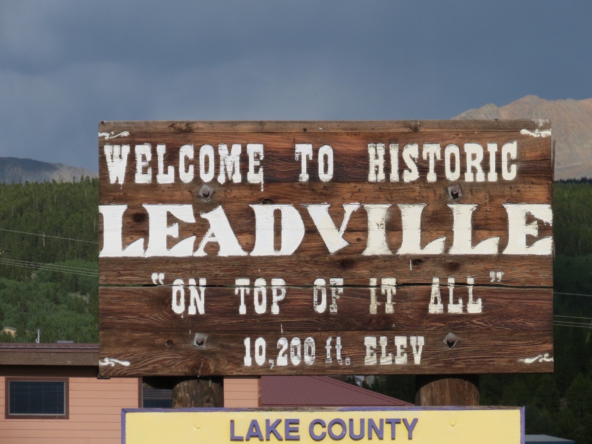
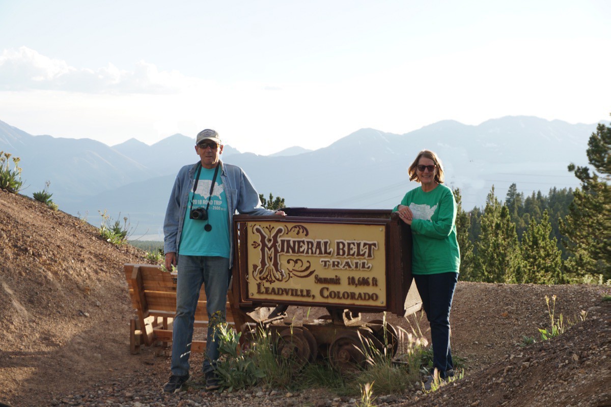
After we finished our hike along the Twin Lakes we continued to drive to Leadville, Leadville has an elevation of 10,152 and is the highest incorporated town in the United States. The town was originally called Silver City and was the last city where Doc Holliday was a law man. Once we arrived we stopped for ice cream before heading to the Mineral Belt Bicycle Trail. The trail is a paved 12 mile loop that encircles the town. There are markers at each mile and we started our ride between the 4 and 3 mile marker. Unfortunately, we chose to go the wrong direction which caused us to ride 8.5 miles UPHILL instead of being smart and riding the downhill direction.
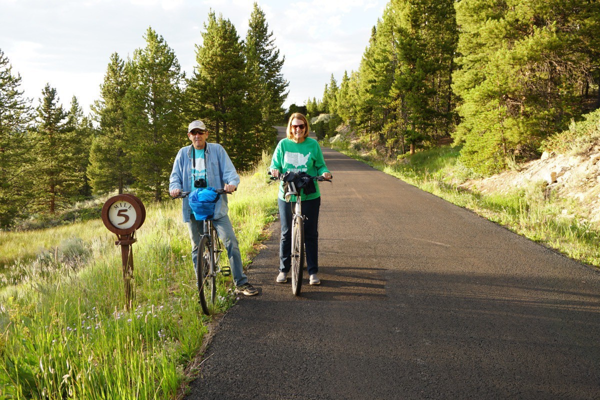
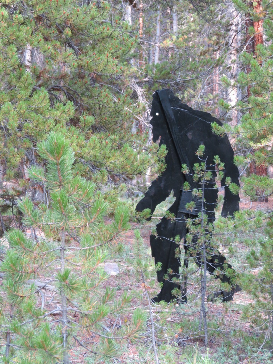
A little humor along the way!
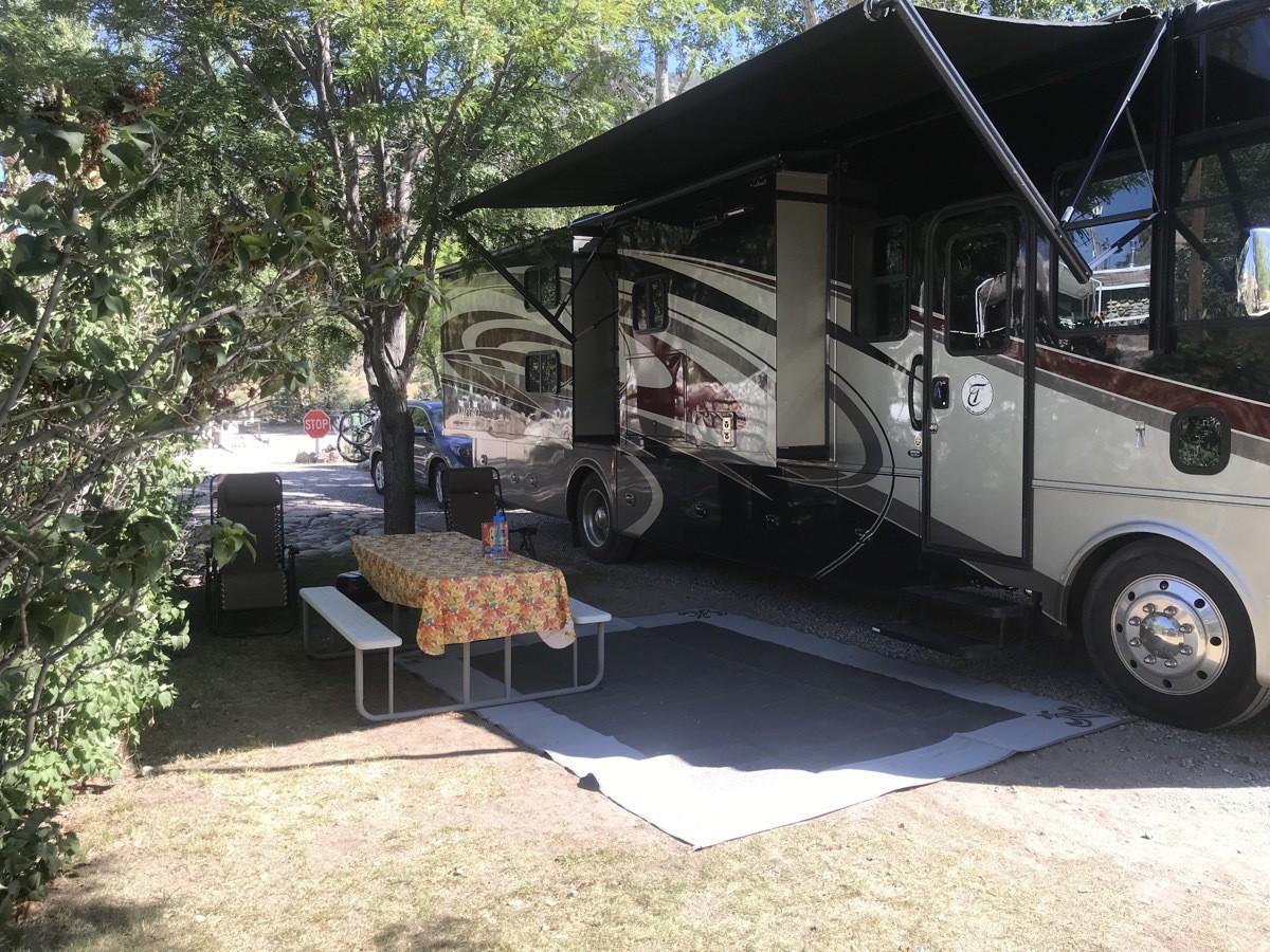
That night we drove back to the Four Seasons RV Resort in Salida, CO for our final night at that location.
Trip Data
- Four Seasons RV Resort $49.50 per night. We’ve spent $3,115.34 total or $37.53 per night
- We’ve driven 4,853 in Big Hat and 3,796 in the car for a total of 9,523 miles.
- We paid $2,107 for gas or $.22 per mile
-
Off Road Touring in the San Juan Mountains from Silverton, CO
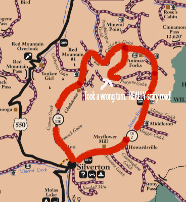
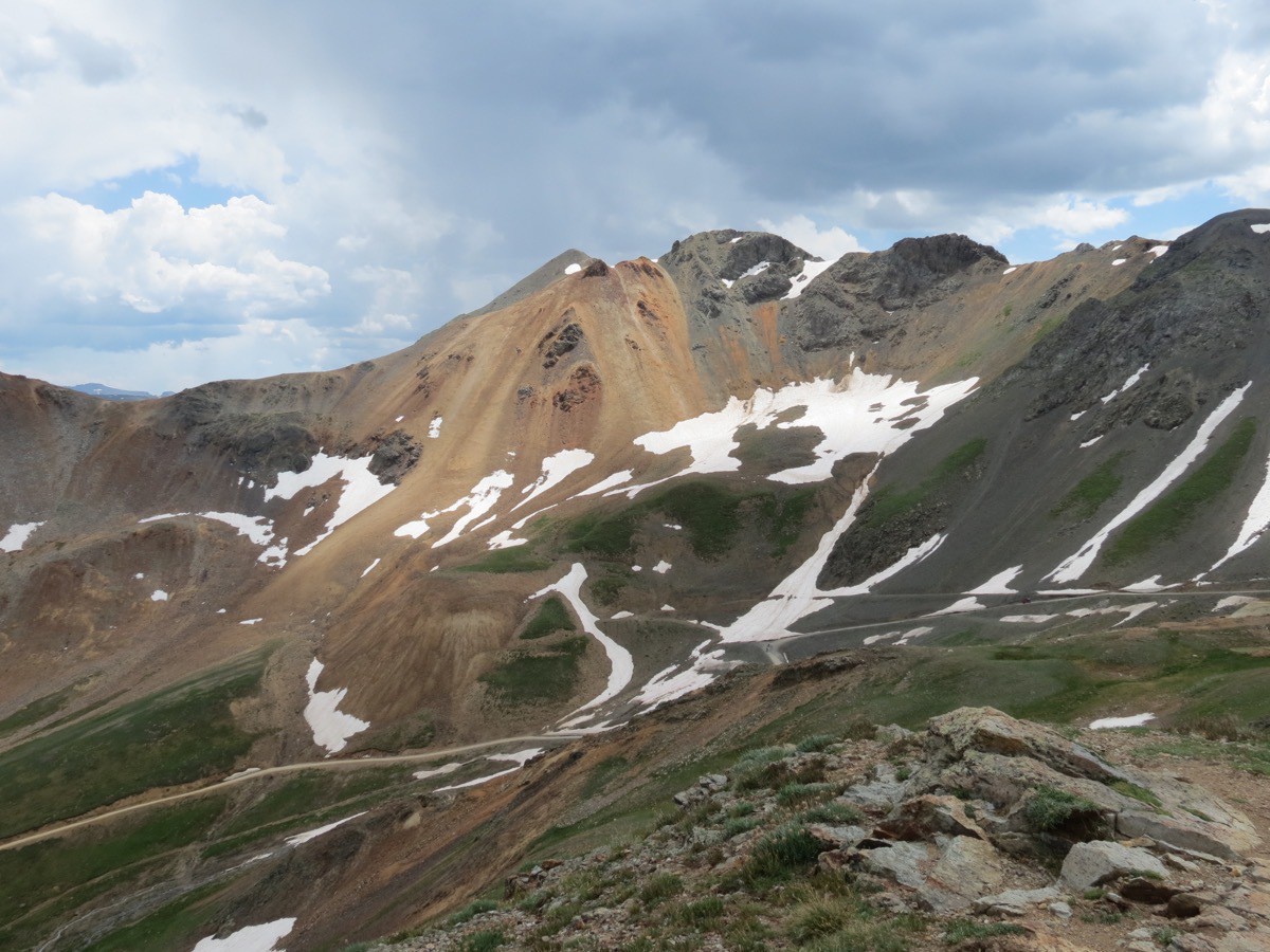
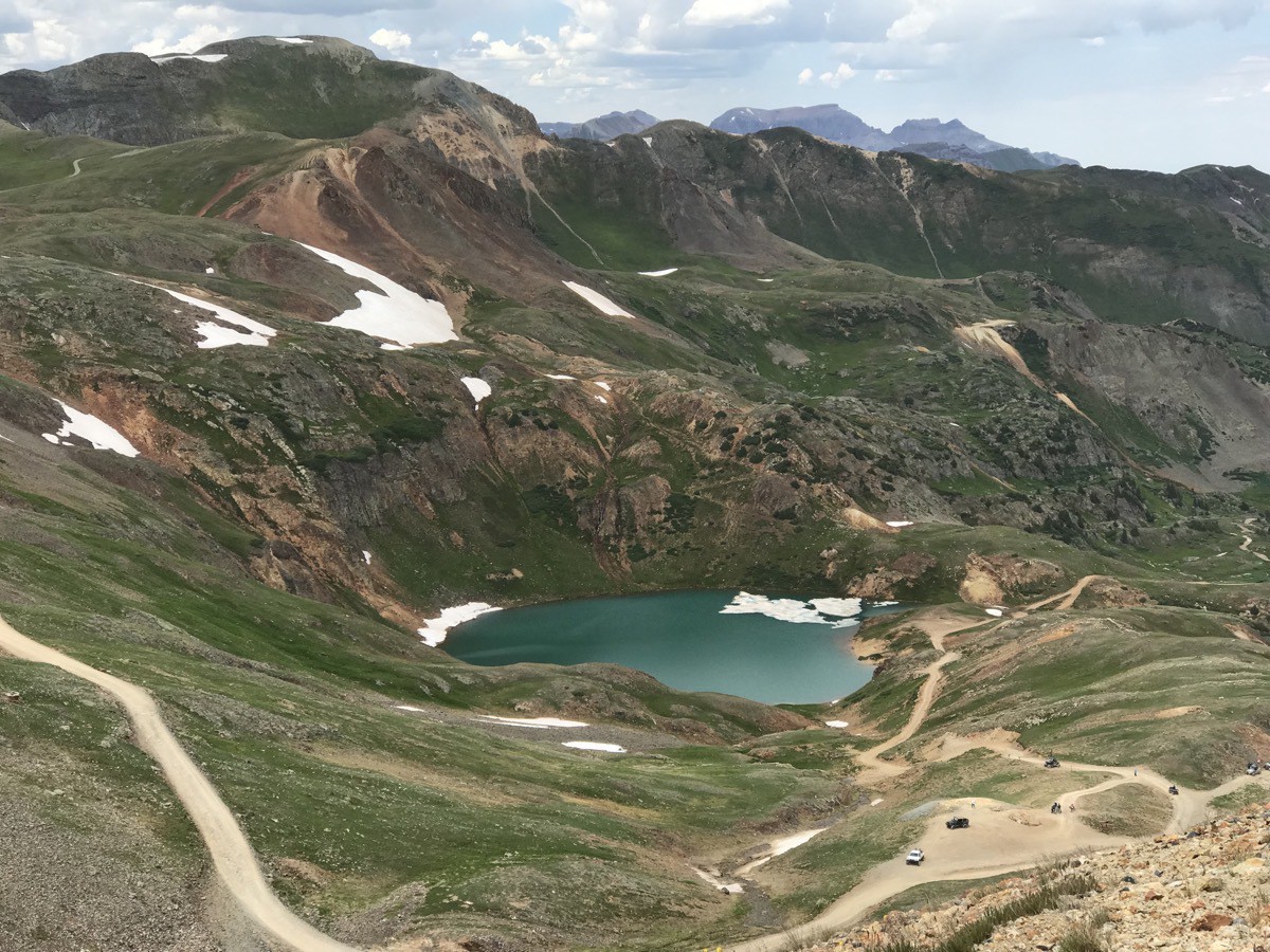
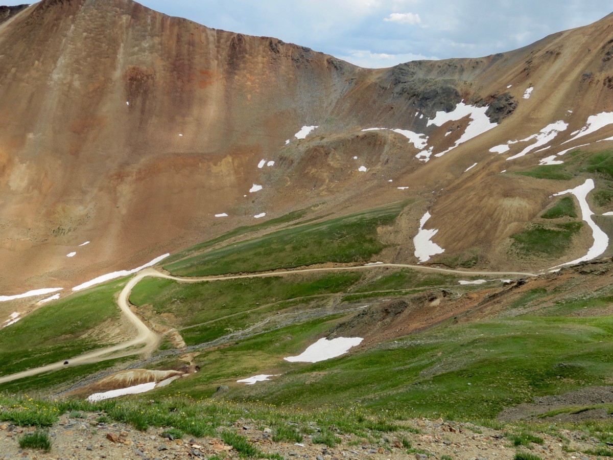
Today we experienced something we’ve never done before. We rented a jeep for the day and took a 41 mile drive on part of the Alpine Loop from Silverton. The Alpine Loop is a rugged 4x4 road that winds through the spectacular scenery of the San Juan Mountains.
The first leg of our journey was to the old ghost town of Eureka, once a gold mining town, but totally deserted now other than the remains of the old Sunnyside Mill. We could have driven this far in our car, but beyond this point, the road has deep ruts, big rocks and loose sand.
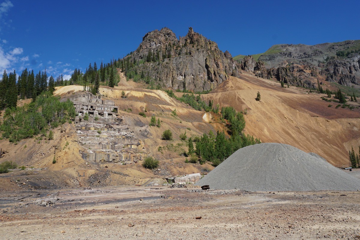
Remains of the old Sunnyside Mill in Eureka.
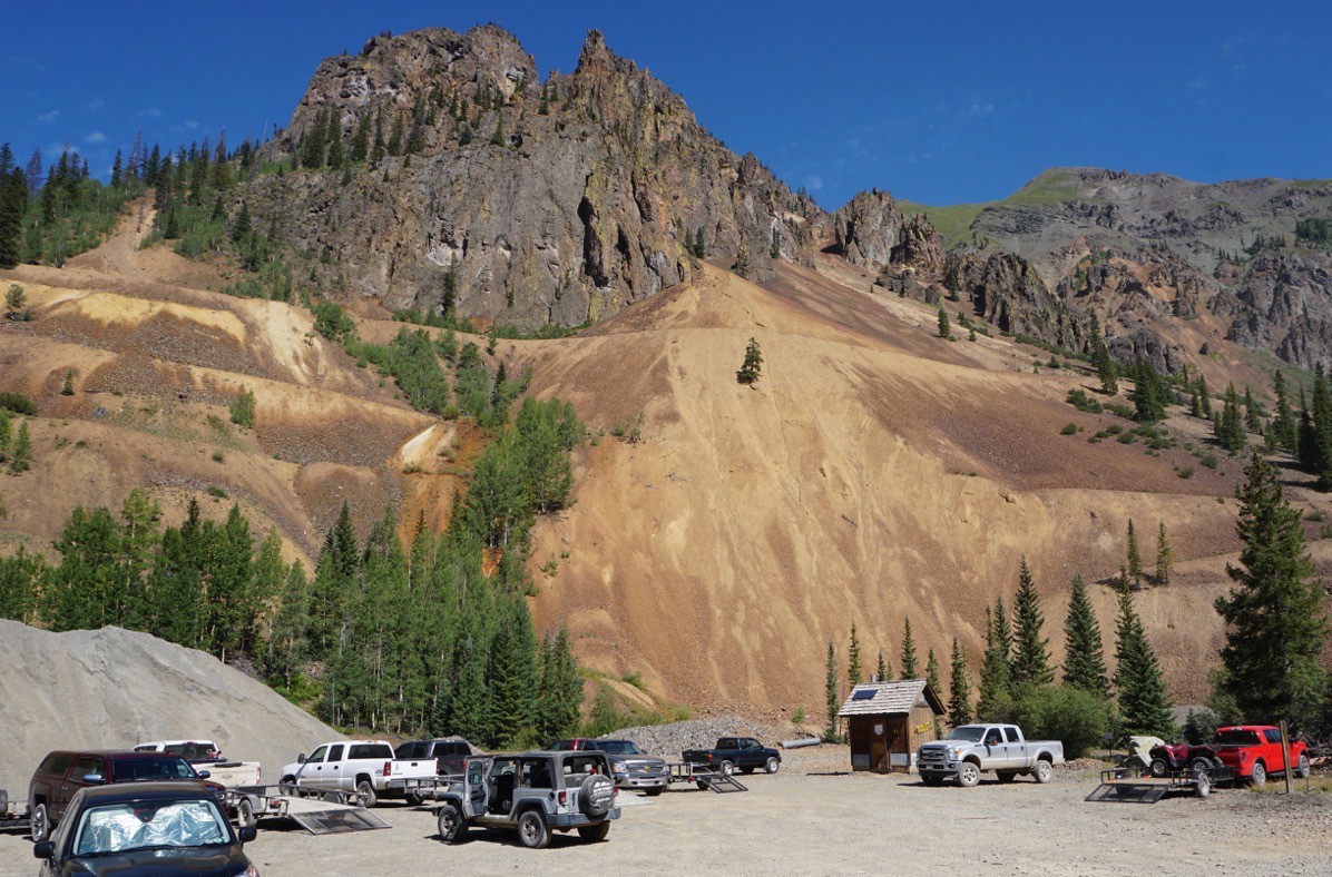
There was a restroom here, so lots of people stopped for a break.
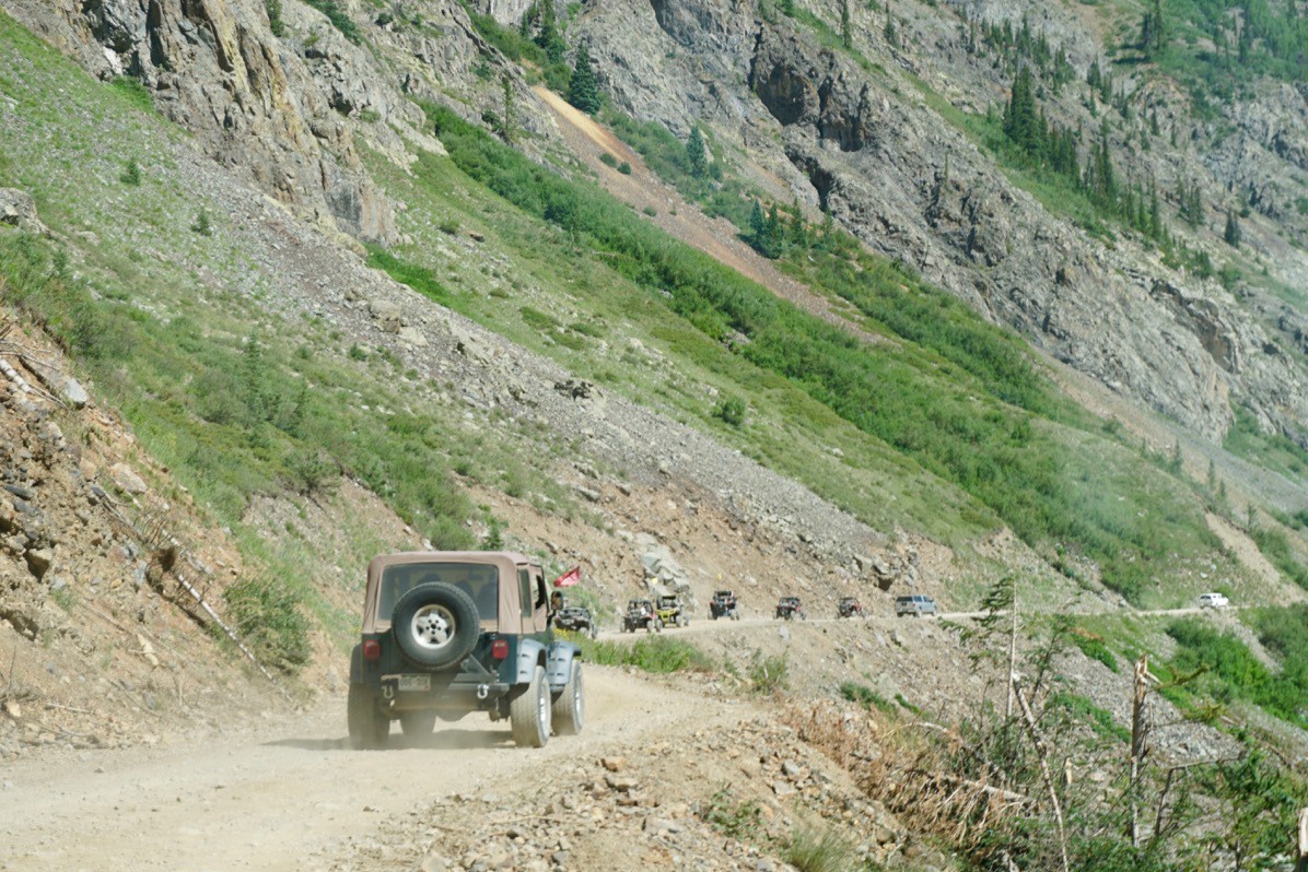
We were not part of a tour, but many people were leaving the rest stop as we were leaving.
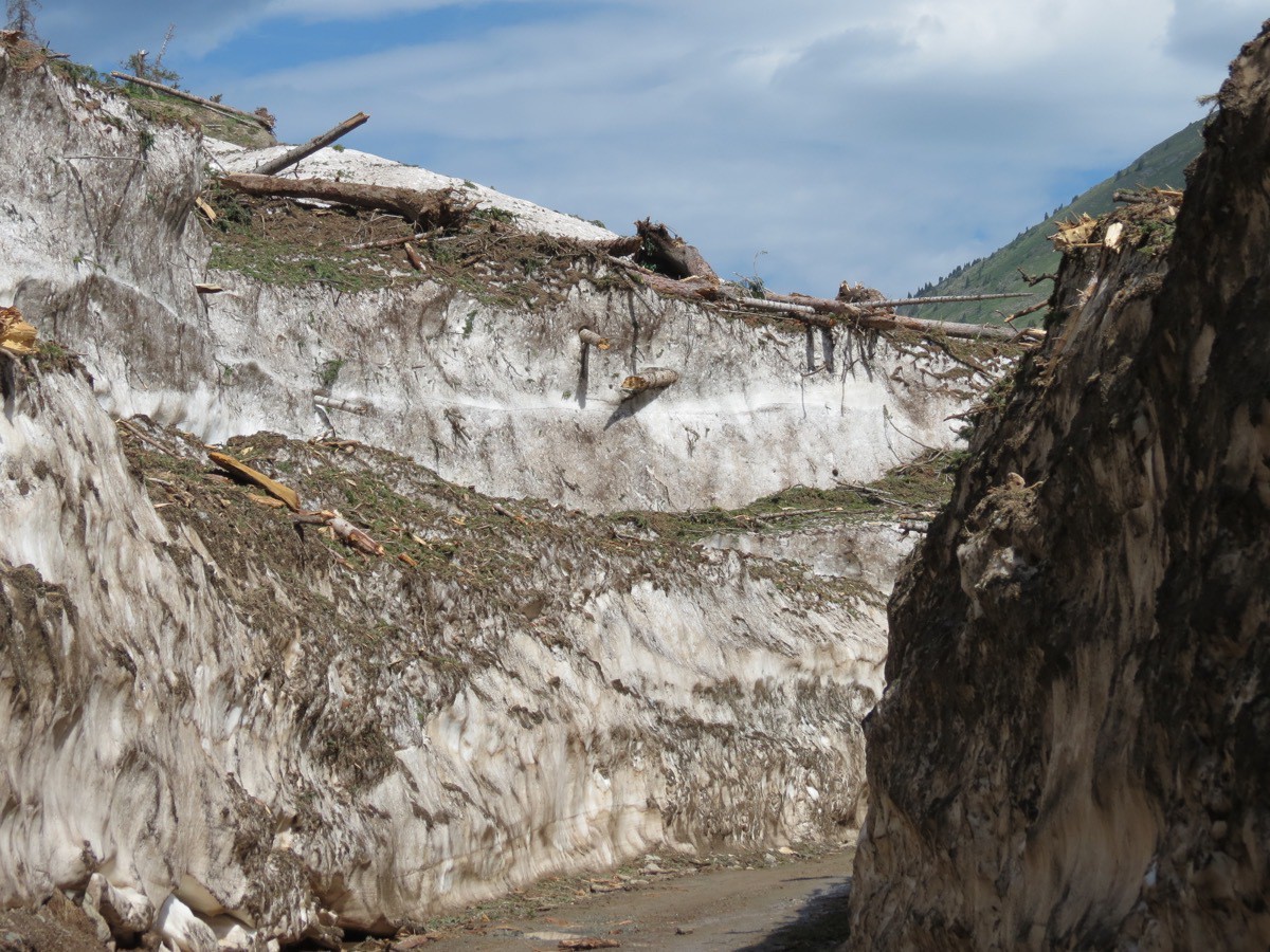
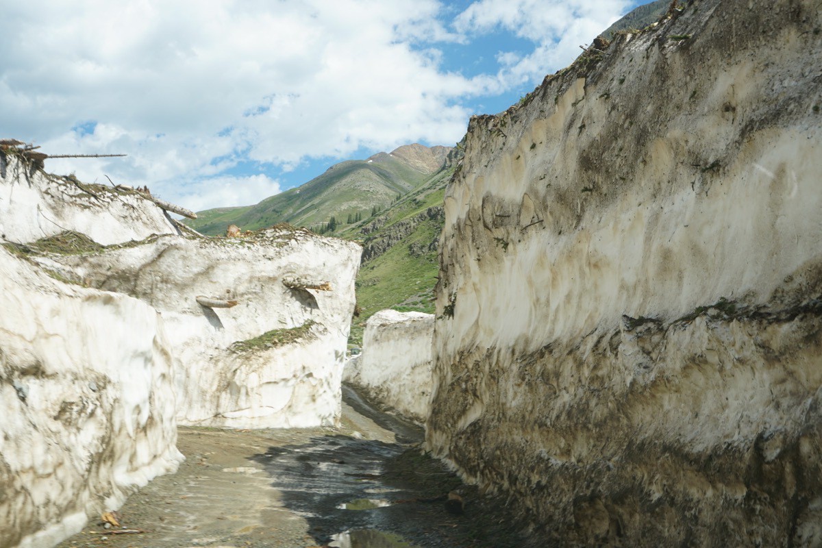
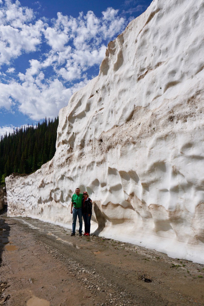
We were told that this year’s snowfall in the Silverton area was 225% the typical yearly amount. and there were many avalances reported around the state. We passed several avalanche sites along the way, but the biggest avalanche site was just cleared LAST WEEK—and only wide enough for one lane of traffic to go through it! Look at the big trees that are imbedded in the snow!
Our next stop was the ghost town of Animas Forks. At over 11,000 feet it was one of the highest mining camps in the United States. The first prospectors came here to look for gold and silver in 1873. By 1885 the town had a summer population of 450, but few people stayed for the winters when the mines were shut down. Fire destroyed much of the town in 1891 and an avalanche in 1943 destroyed most of the business district.
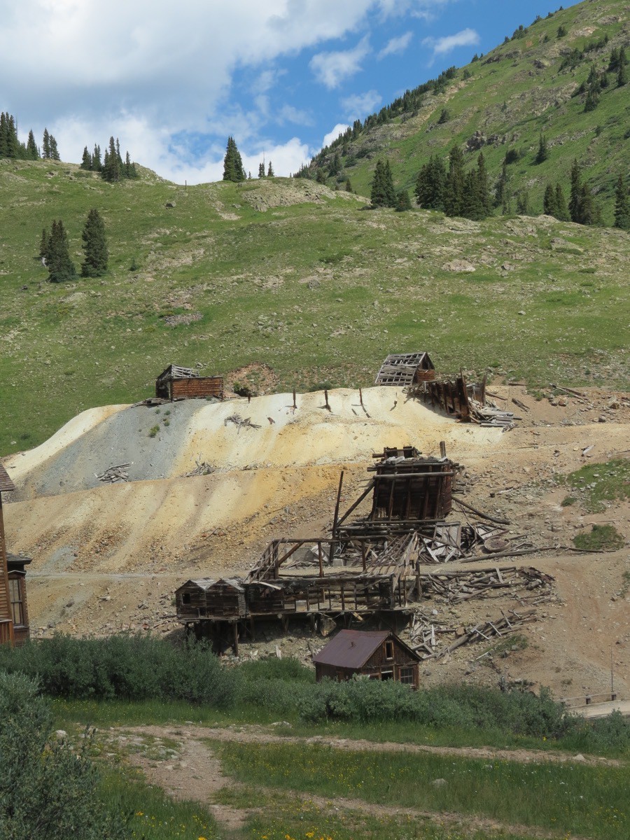
The Gold Price Mill was constructed in 1904 and was the costliest mine built in Colorado at the time. The mill was constructed with structural steel instead of timber, but was only in operation from 1904 to 1910 when it close. It was later salvaged for use in the Sunnyside Mill in Eureka (remains pictured above) which opened in 1917.
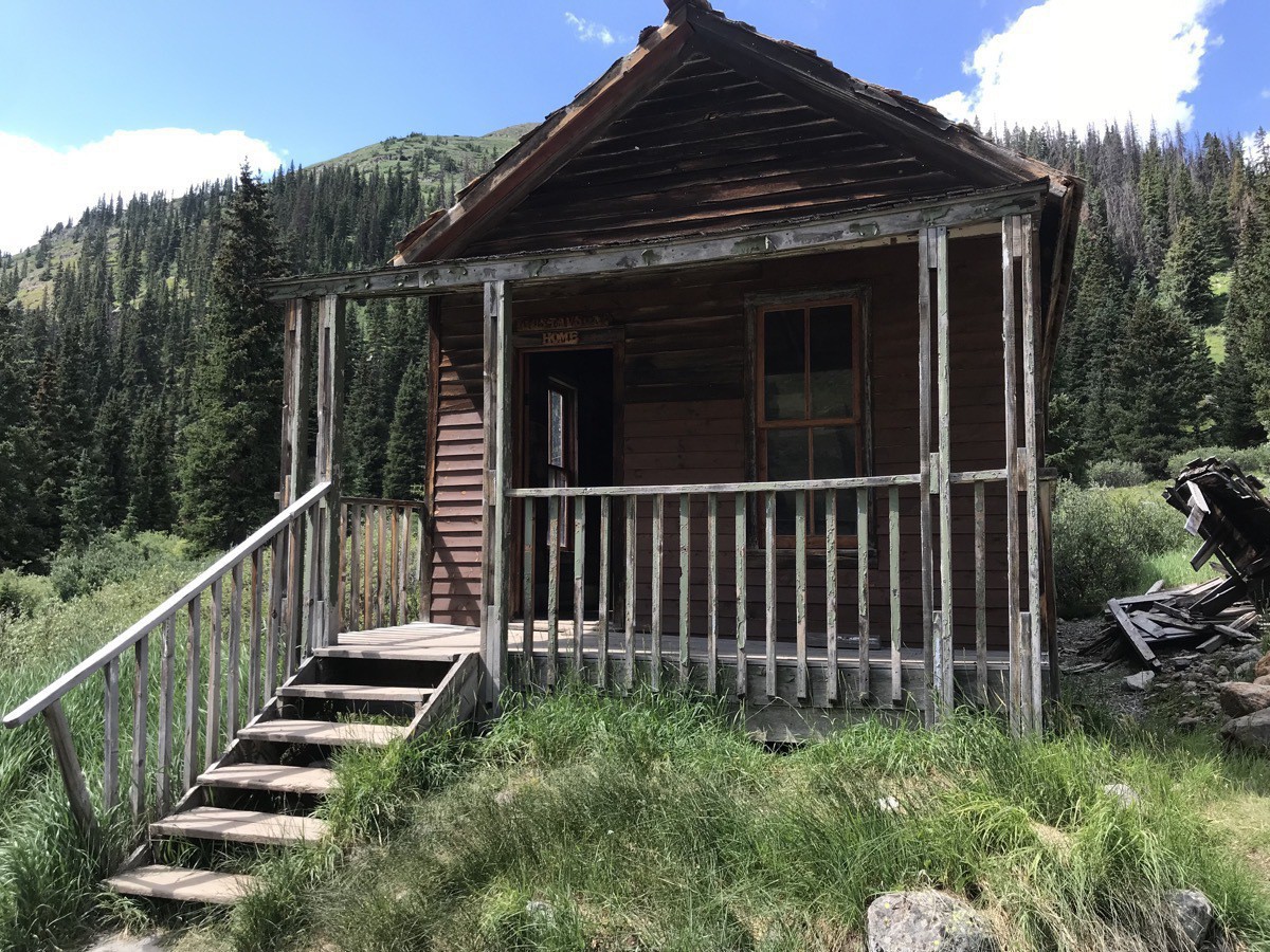
Pictured above is the Charles and Alma Gustavson House built during 1906-1907. Charles bought the land for $1.00. The house was always known for the “indoor toilet.” It was actually an outhouse with a closed hallway which connected it to the rest of the house. They sold the home in 1910 for $110.
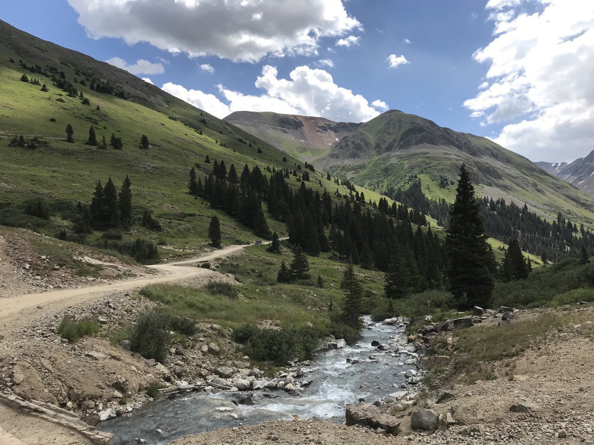
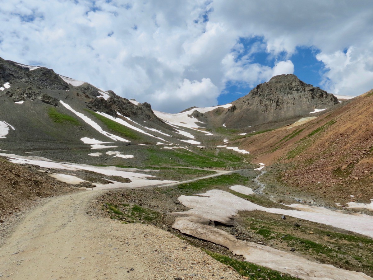
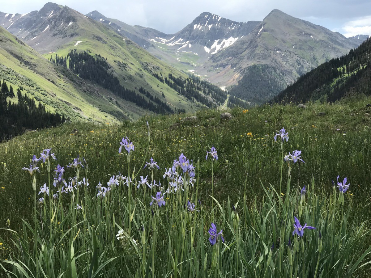
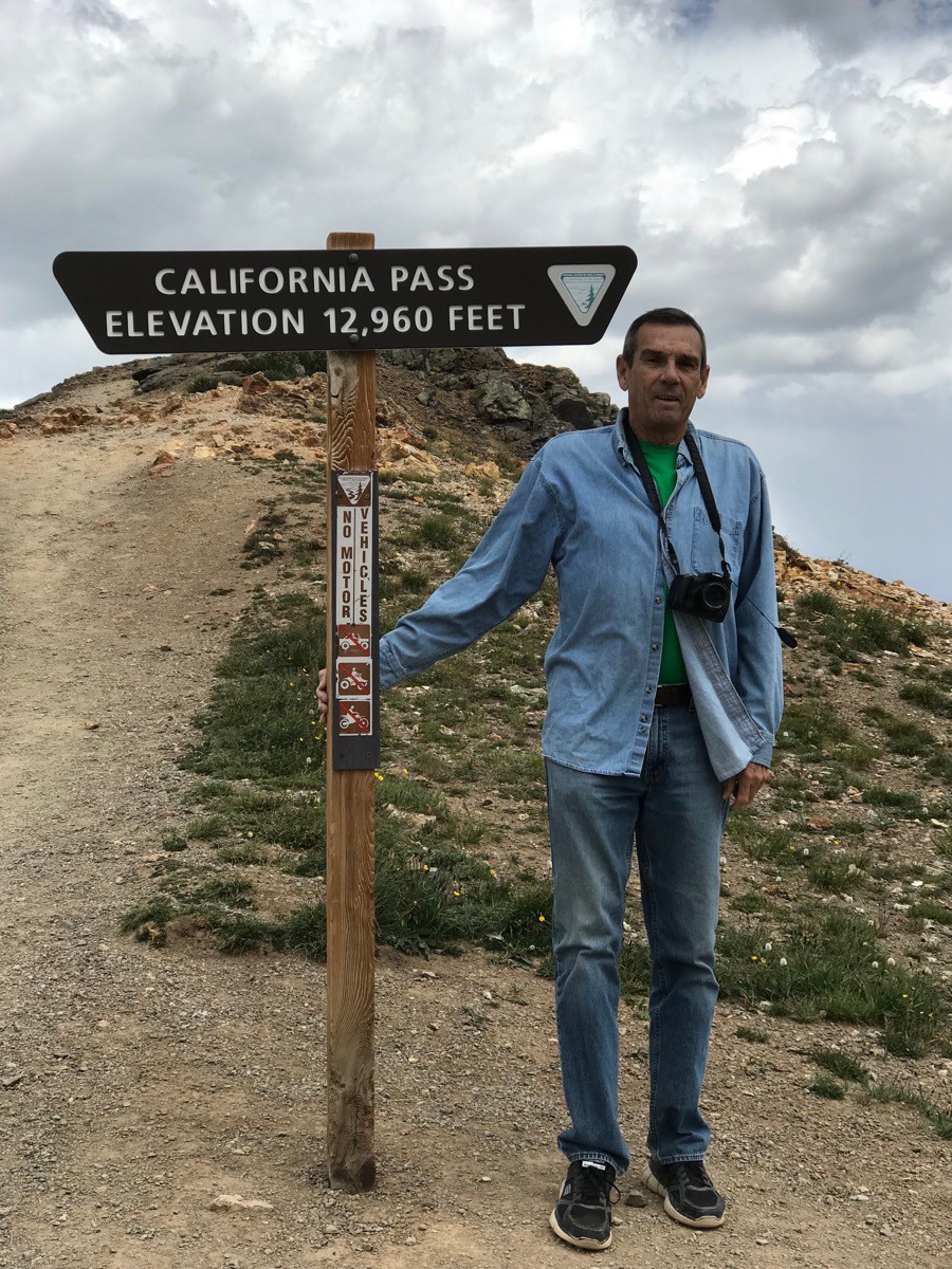
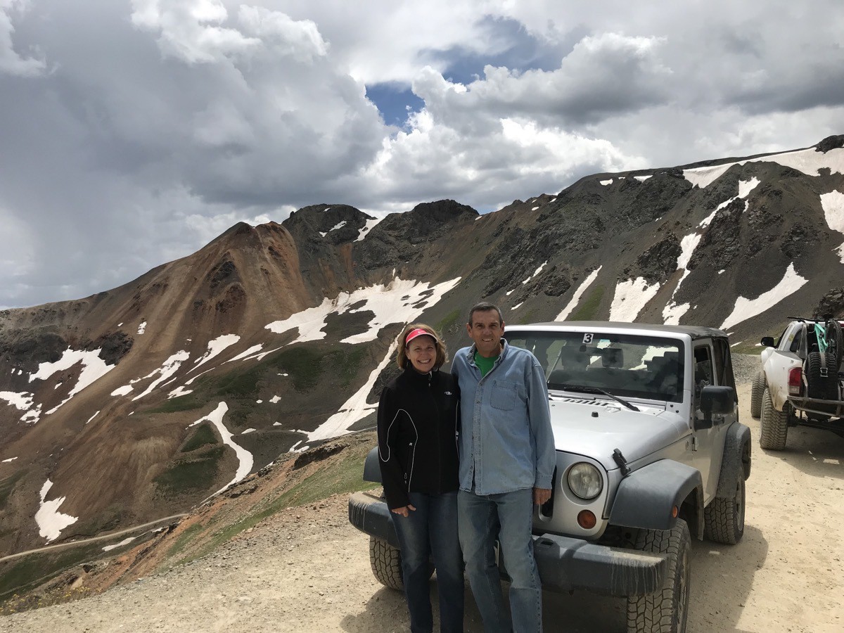
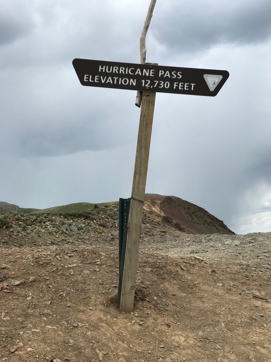
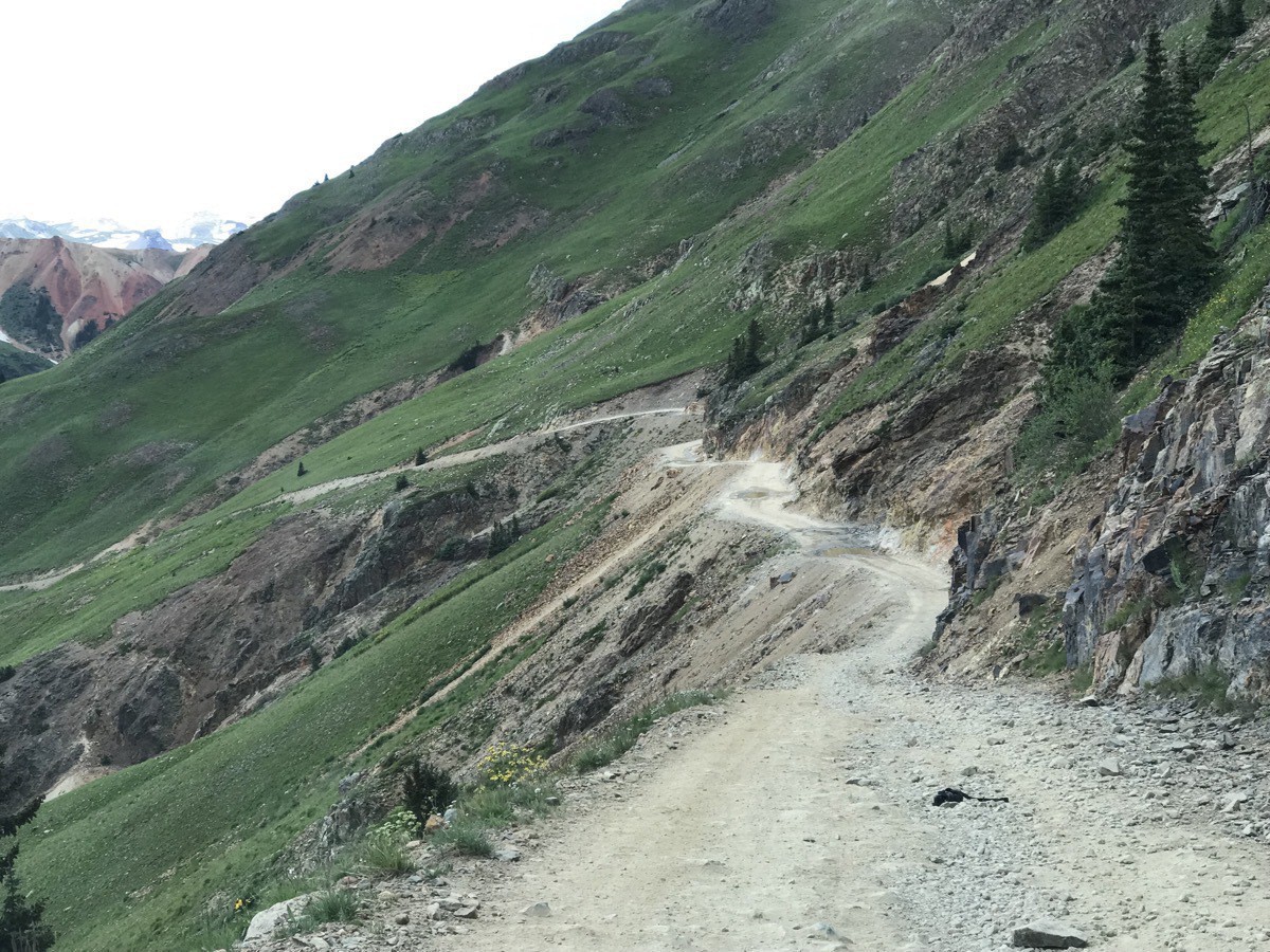
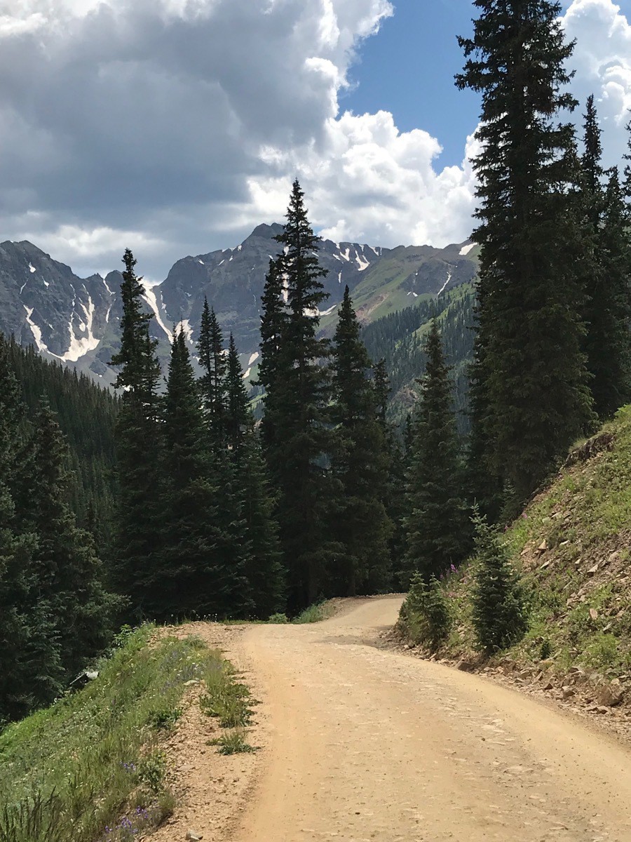
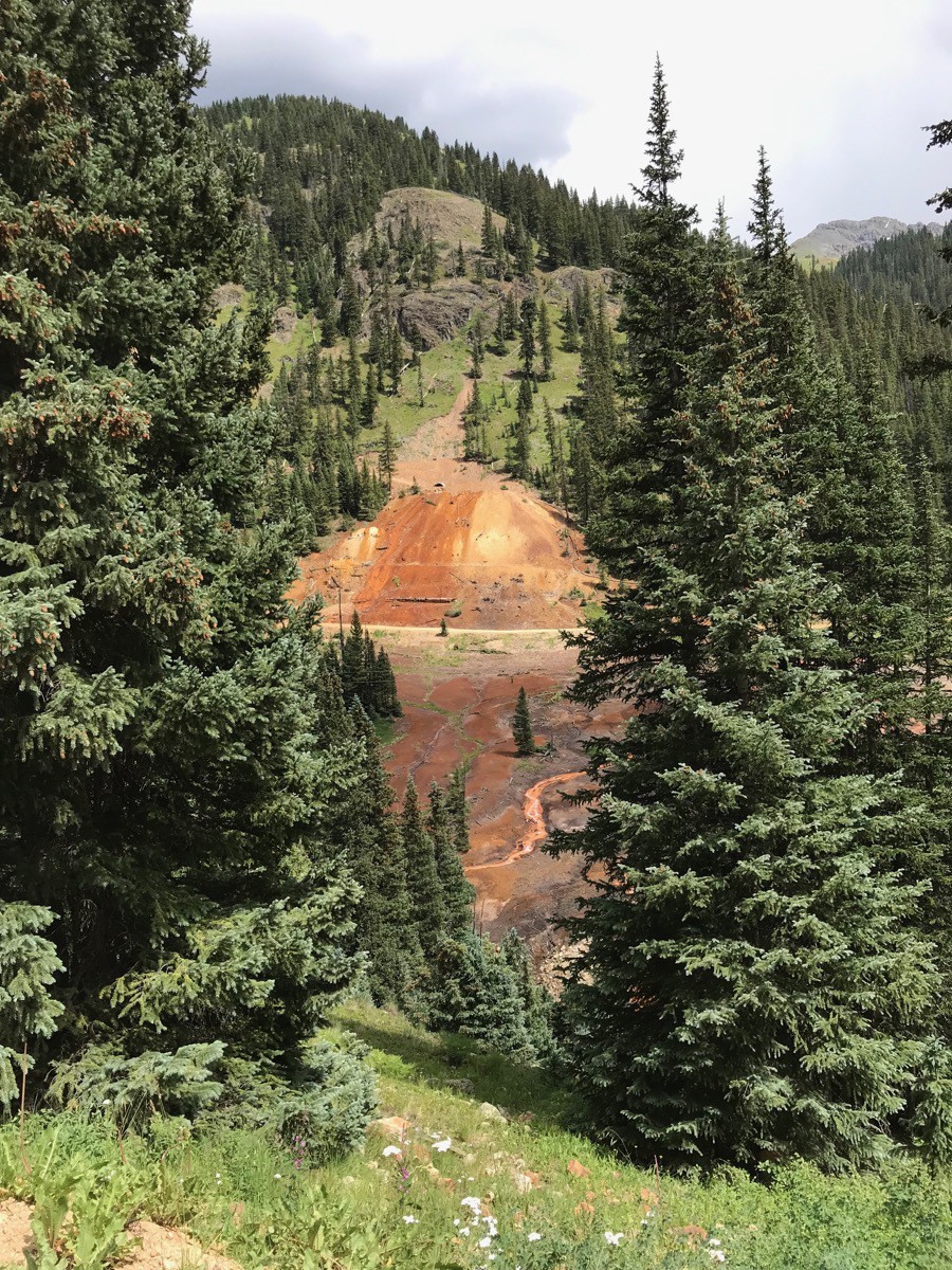
The scenery along the way was truly magnificent! We had never driven on such steep roads with such tight hairpin turns. Most of the roads were single lane with some wider areas to let a vehicle pass going the opposite direction.
-
Silverton to Ouray, Colorado-Day 78
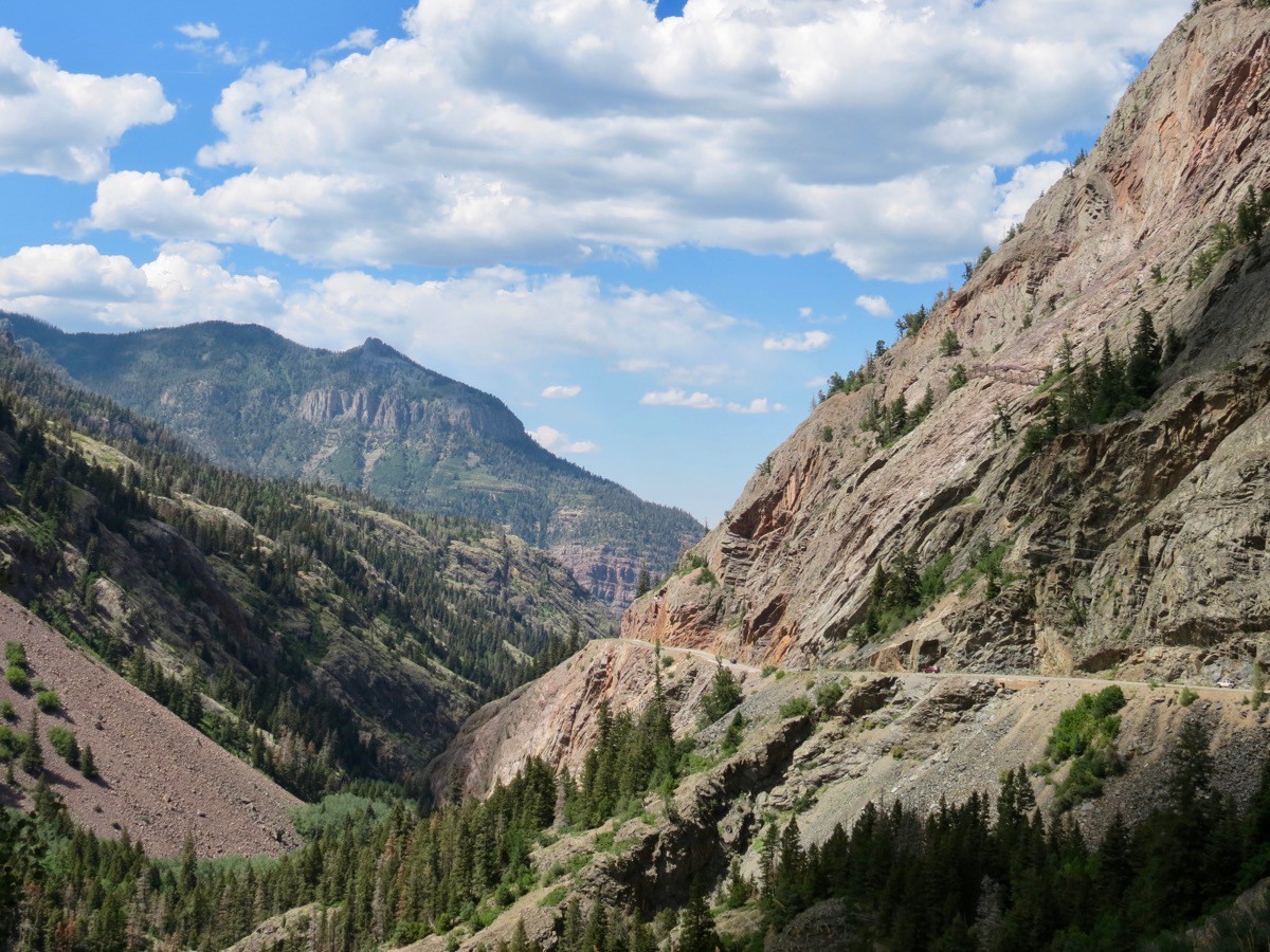
We drove the Million Dollar Highway (Rt. 550) today between Silverton and Ouray, CO. It was an absolutely stunning drive with beautiful vistas. It has steep cliffs, sometimes narrow lanes, no guardrails and a number of hairpin S curves, but totally worth the drive! We drove this in our car—not in our motorhome --even though we have driven it in a motorhome in the past.
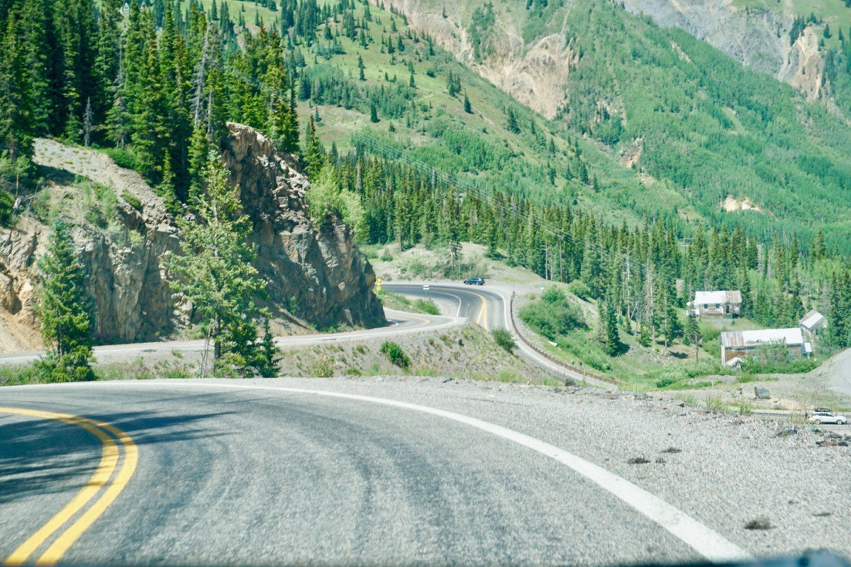
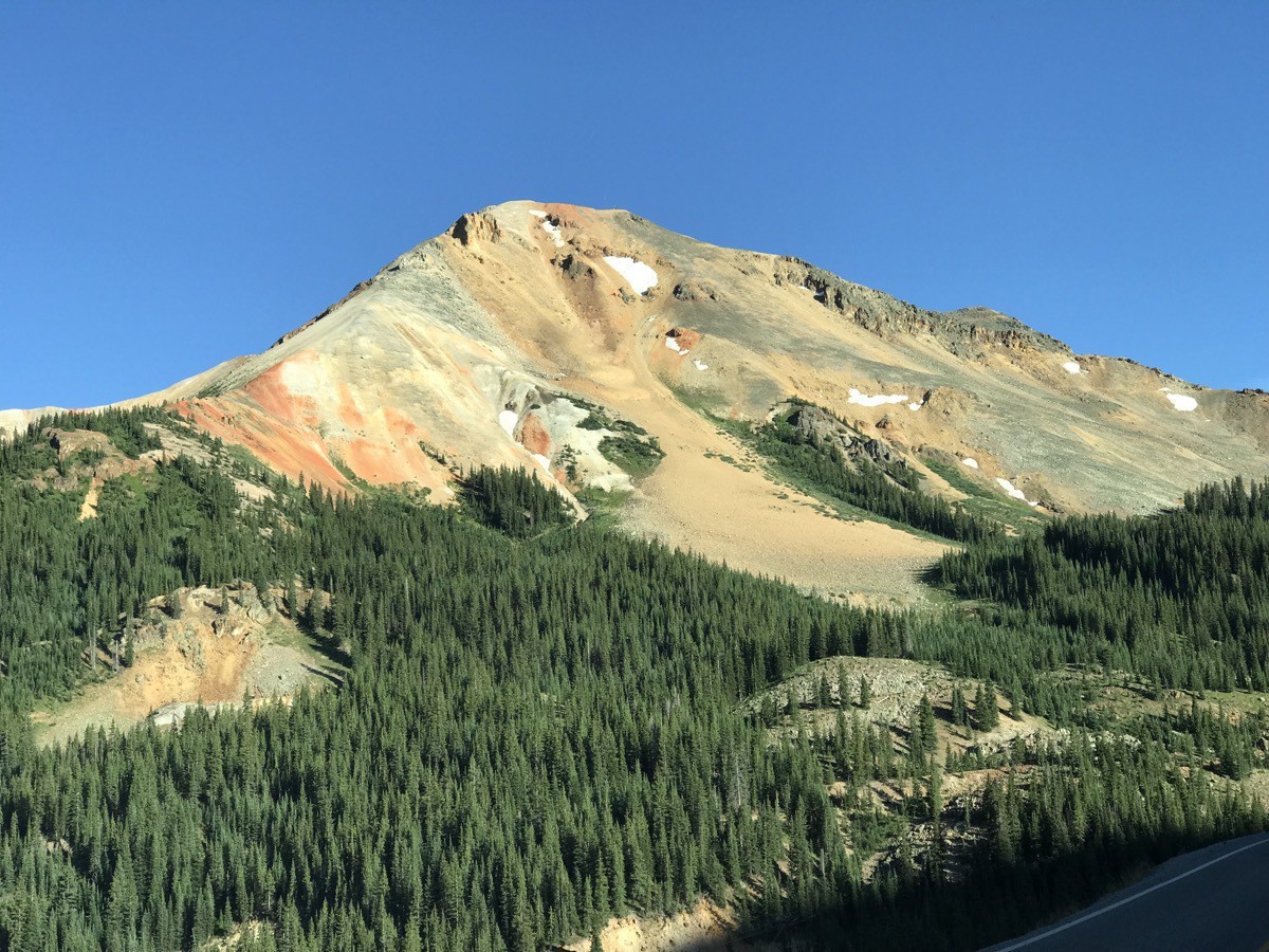
The Red Mountains as seen from the highway.
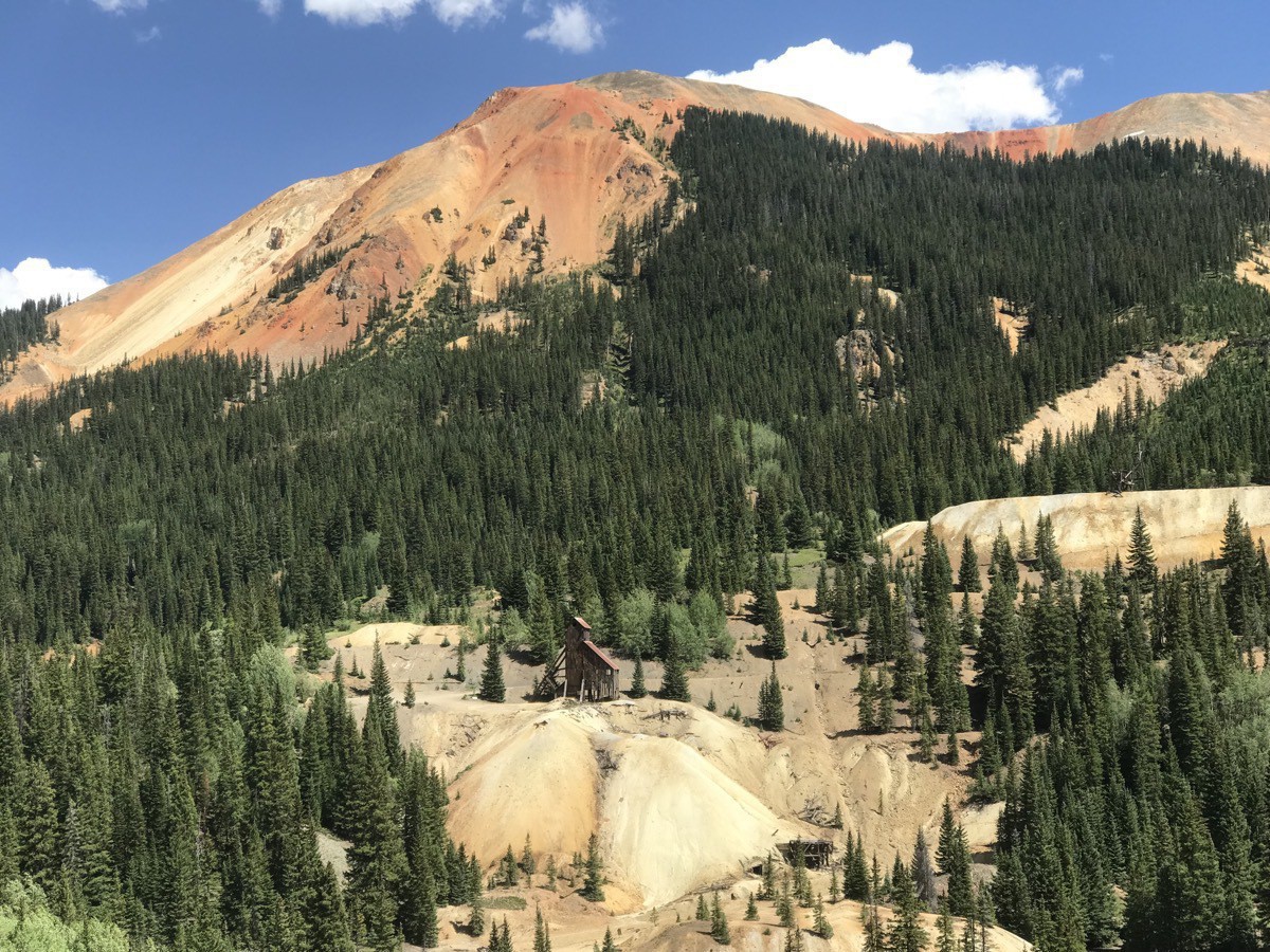
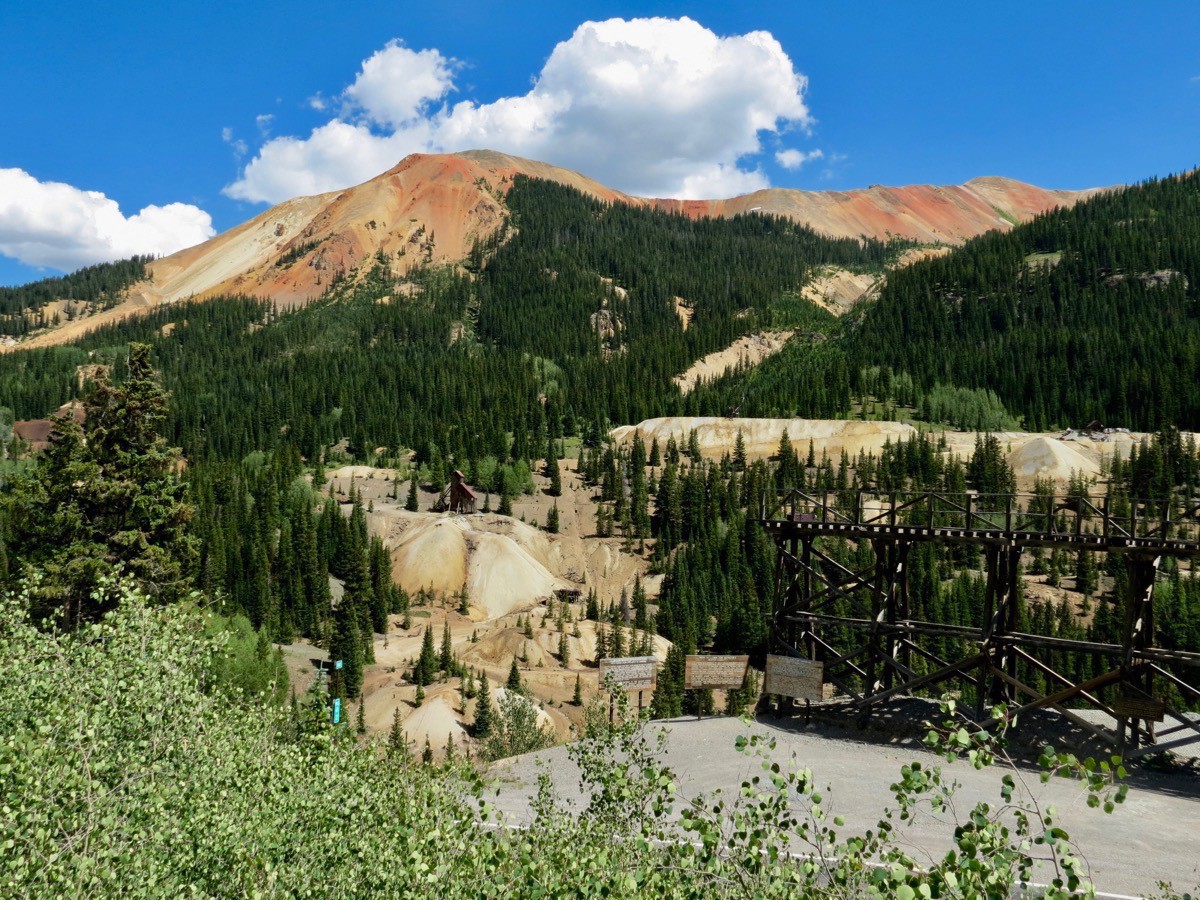
The Treasury Tunnel is the eastern end of the Idarado Mine that produced primarily lead, zinc and lesser amounts of gold and silver. The tunnel was originally built to connect several previously inactive mine sites. As one of the San Juan’s larger mines, it contains nearly 100 miles of underground tunnels. Miners would enter here at the Treasury Tunnel and ride the underground trams to their workstations.
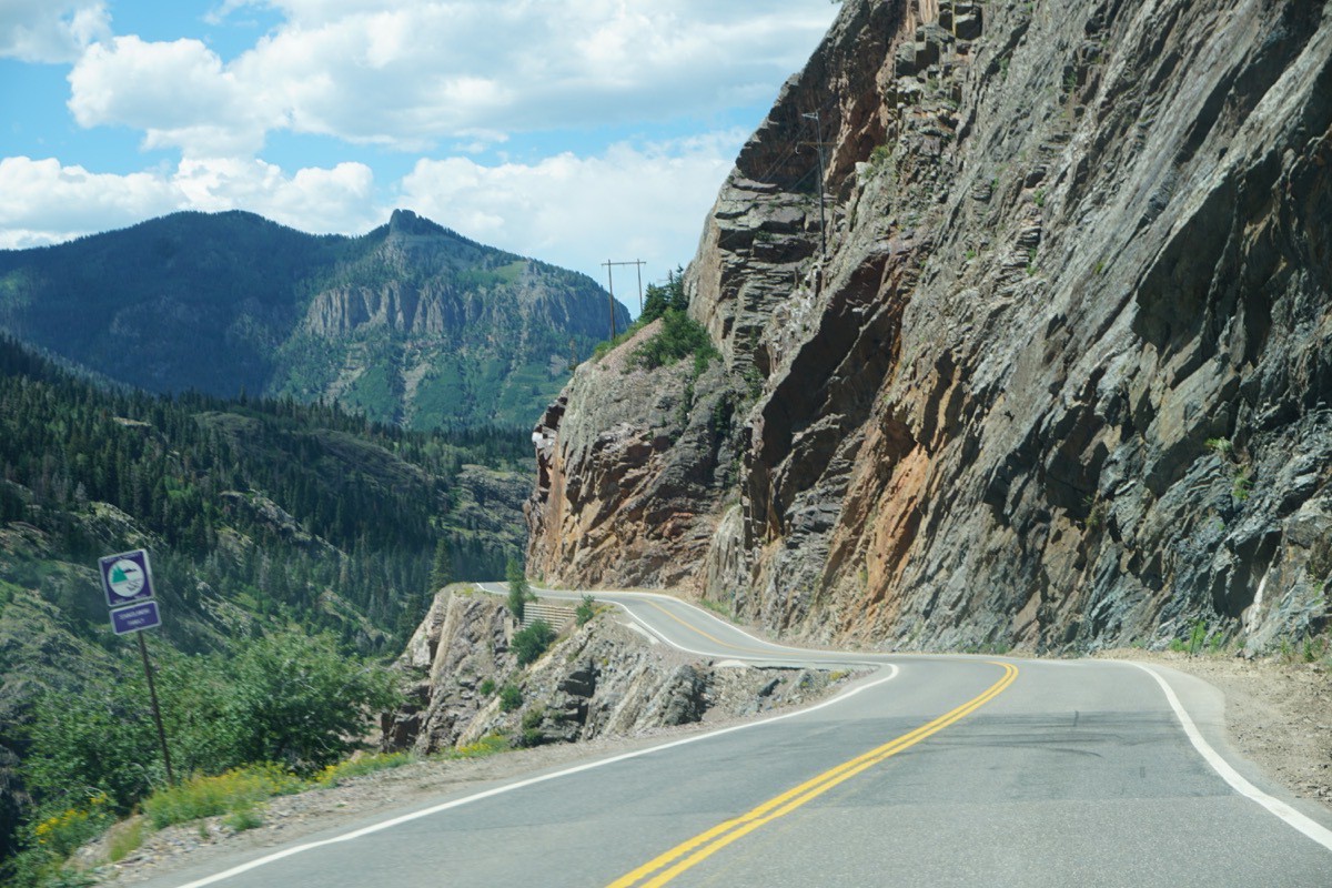
Passage along the Uncompahgre Gorge.
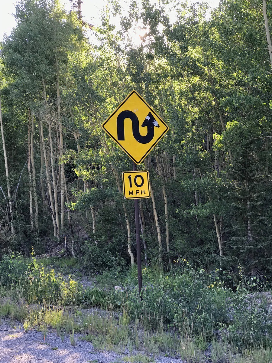
The sign gives you some idea of the road condition
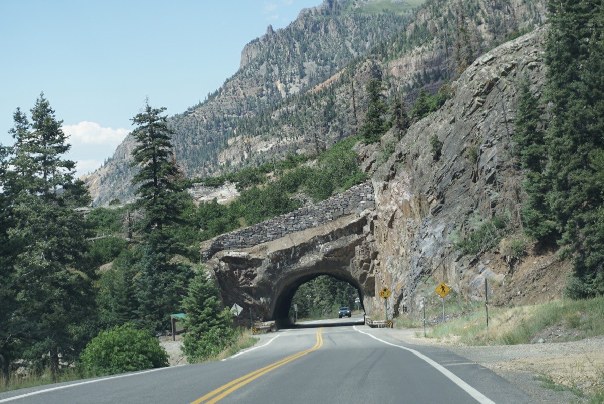
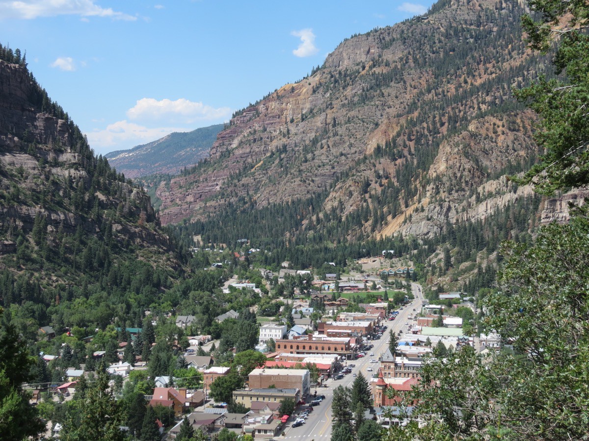
A view of the town of Ouray from the highway.Once we arrived in Ouray, we drove up the Amphitheater Campground Road and hiked the Baby Bathtubs trail. After we finished that hike we drove to the parking lot for the Cascade Falls Trail and walked up to the falls. Later, we walked the Main Street area of Ouray.
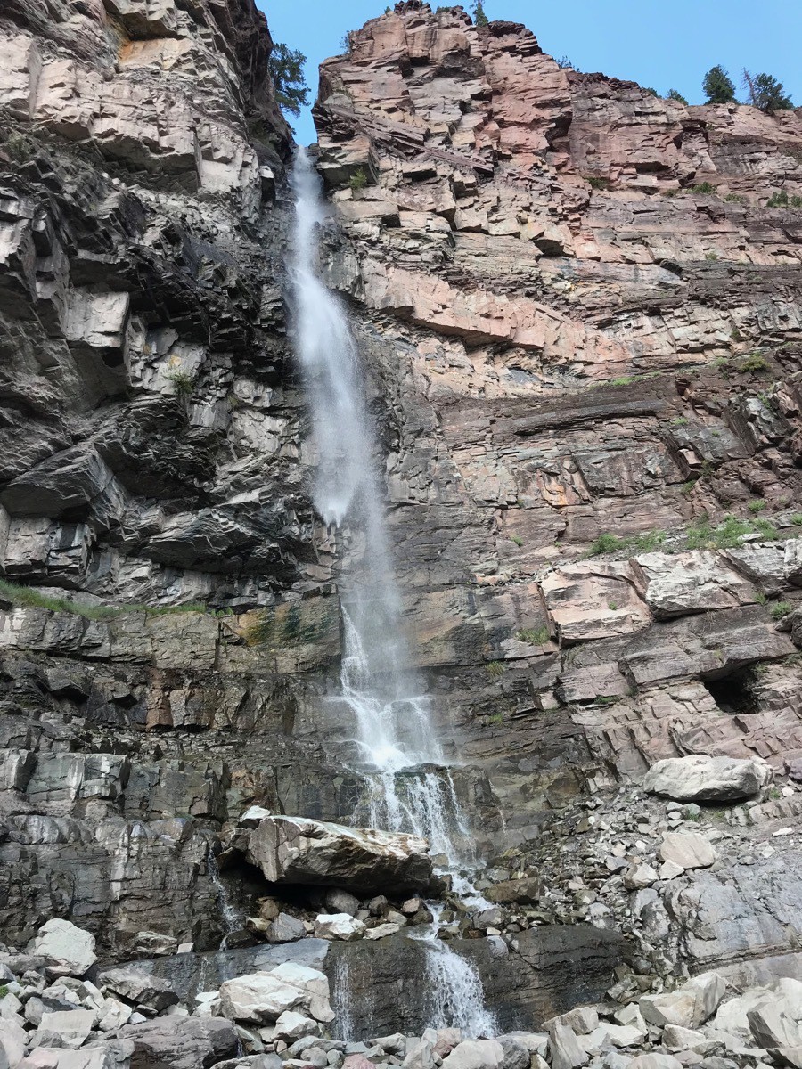
We walked up to the Cascade Falls in Ouray.
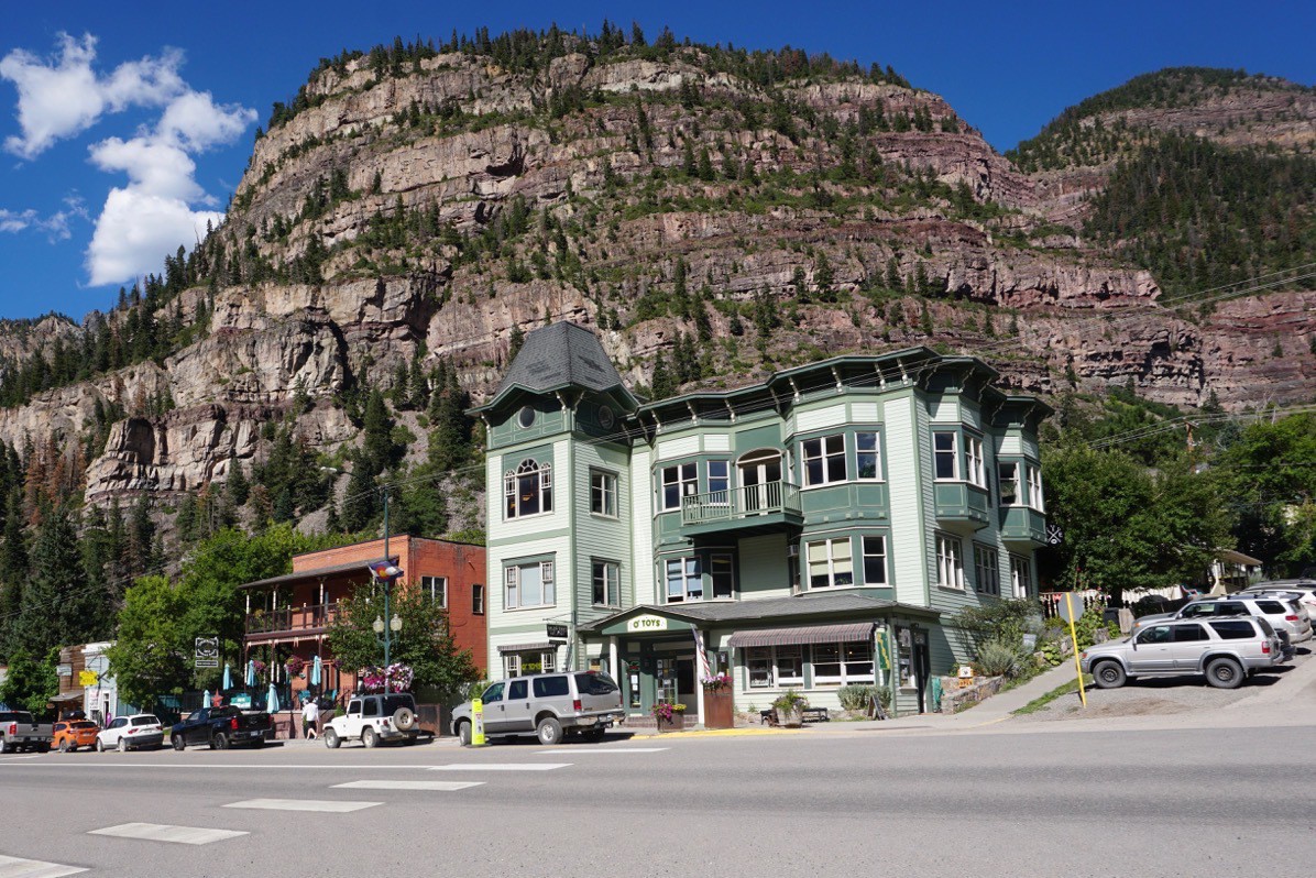
After eating dinner (a GREAT pizza) in Ouray at the Goldbelt Bar and Grill we drove the Million Dollar Highway back to Silverton. We are staying at the Silver Canyon RV Park in Silverton which is about one block walk to the downtown area, such that it is.
Trip Statistics
- We’ve driven 3,554 in the car and 4.603 in the car for a total of 8,157 miles
- The cost of the Silver Canyon RV Park was $49.60 for a total campground cost of $,286
-
Monument Valley
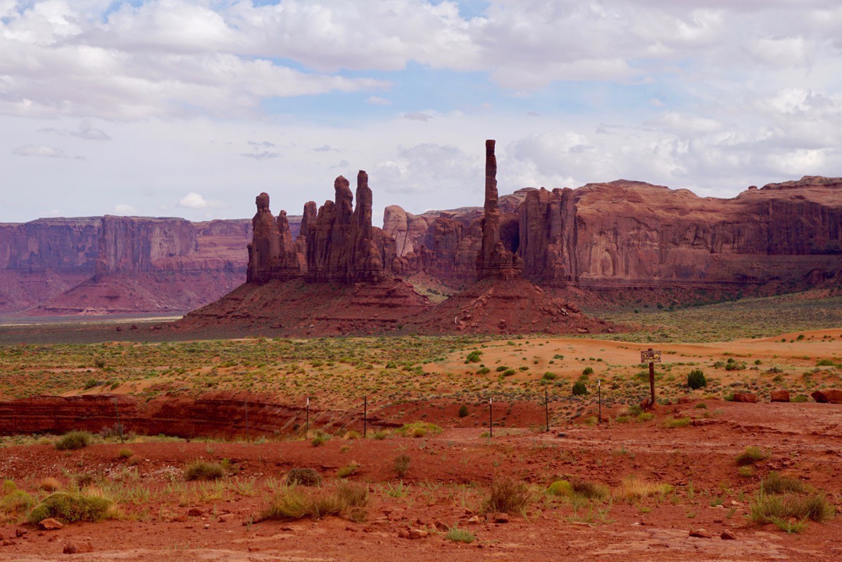
Although I didn’t know it before today, the official name for Monument Valley is Monument Valley Navajo Tribal Park. Monument Valley is between 5,000 and 6,000 ft. above sea level. The height of the monuments range from 100 feet to 1,500 feet tall. It is located on the Arizona–Utah border near the Four Corners area. The valley lies within the territory of the Navajo Nation Reservation and is accessible from U.S. Highway 163.
Monument Valley has been featured in numerous computer games, in print, and in motion pictures, including multiple Westerns directed by John Ford that influenced audiences' view of the American West.
The roads through the valley are loose red sand, and at first we thought the only way to see it was with a guided tour. The guided tours are given in pickup trucks with open air bench seating in the back and a canvas cover. Since this is a dessert area, it is VERY dry and sandy. As the vehicles drive through, the sand is stirred and thrown into the air. We decided to try the drive in our Honda CRV (with the windows shut and the air conditioner running) and were hoping we had enough traction and clearance to make it. The CRV did great and we had no problems.
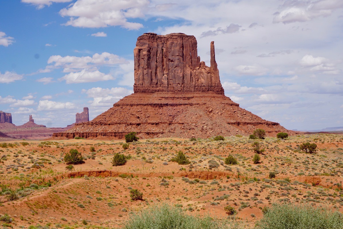
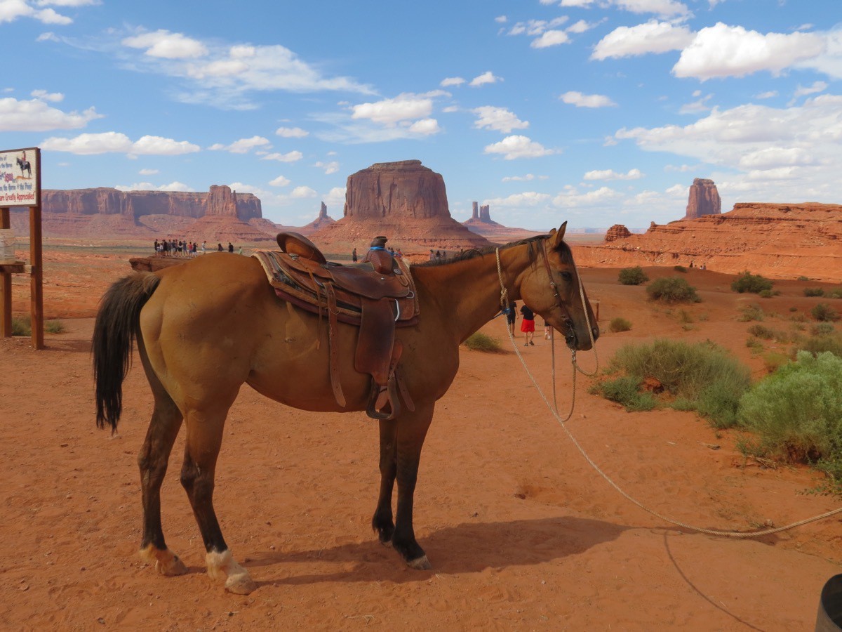
I thought this was such an iconic picture with the horse in this setting. Definitely reminded me of the old westerns I watched as a kid.
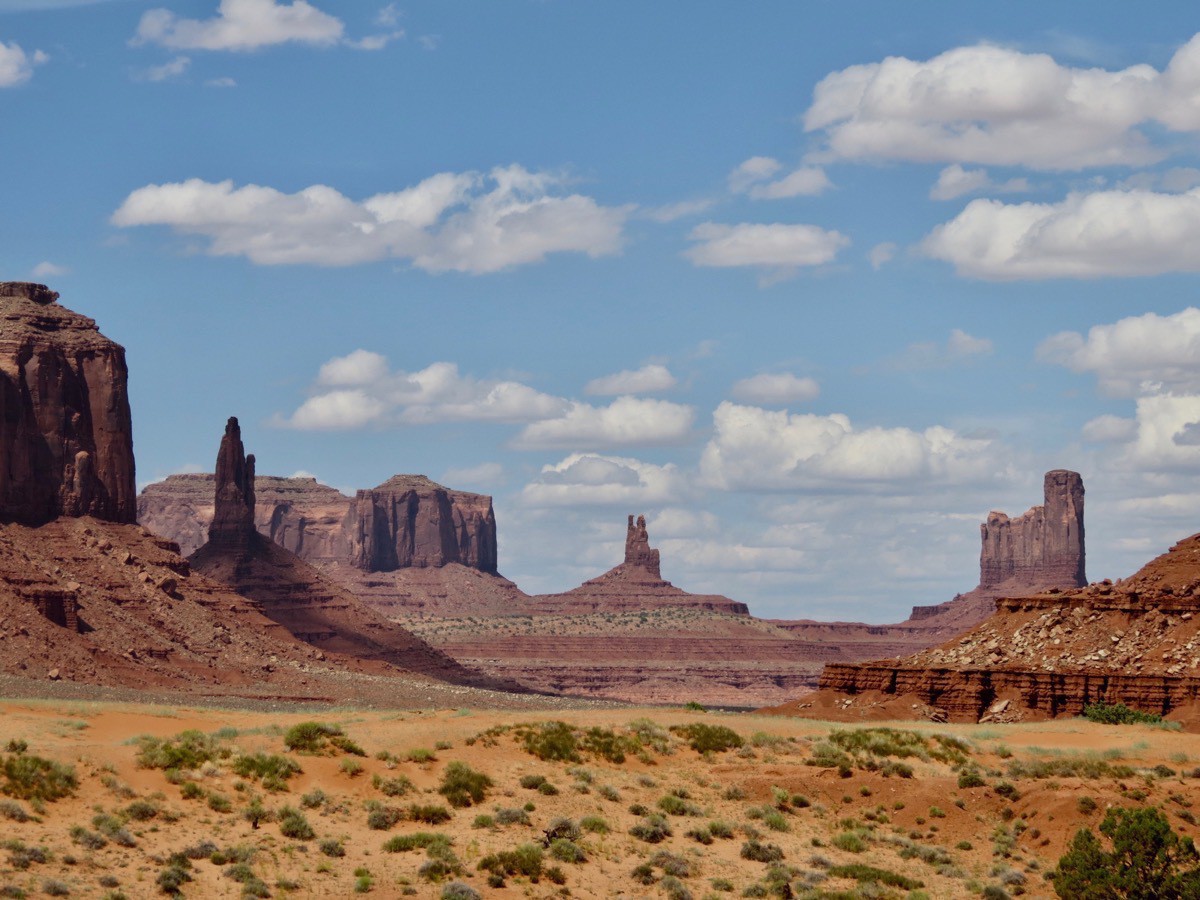
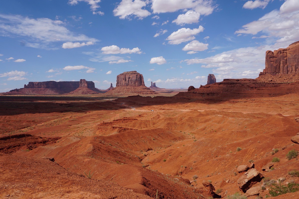
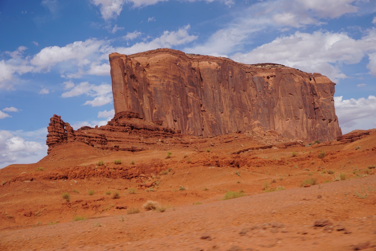
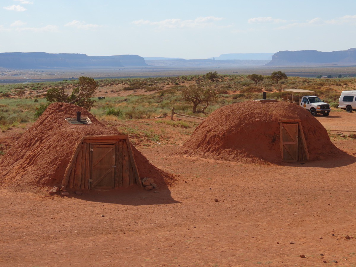
Hogan Village
These are sun-baked mud covered homes called hogans. Hogan means home to the Navajo. The cone shaped home on the left is called a Male Hogan, used as a temporary home because it can be built quickly and taken apart to be used at another location. The round shaped home is a Female Hogan, used as a permanent home which can accommodate more people. These homes are still used by the elderly and for ceremonial purposes. They are made of cedar, bark, sand and water.
-
Cruising Lake Powell and Hike to Rainbow Bridge
We scheduled a six hour cruise tour on Lake Powell in Page, AZ that combined the cruise with the opportunity to hike to Rainbow Bridge National Monument, one of the largest natural bridges in the world. We had to be at the dock at 7:00am, but weren’t able to board the Little Emma for our cruise until almost 8:15 because the mechanics were working on the boat's air conditioning. Nevertheless, we had a beautiful day for cruising the lake. Coincidentally, our boat captain is from Franklinton, Louisiana and is working on Lake Powell for eight months.
Lake Powell is a huge reservoir on the Colorado River, straddling the border between Utah and Arizona. It is the second largest man-made reservoir by maximum water capacity in the United States behind Lake Mead. Upon completion of the Glen Canyon Dam on September 13, 1963, the Colorado River began to back up and the newly flooded Glen Canyon formed Lake Powell. it has 1960 miles of shoreline--longer than the combined CA, OR and WA coastline, and over 96 major side canyons.
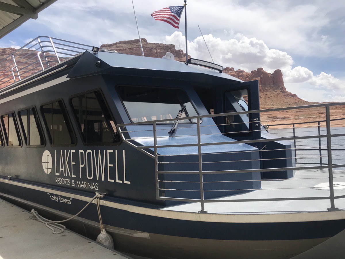
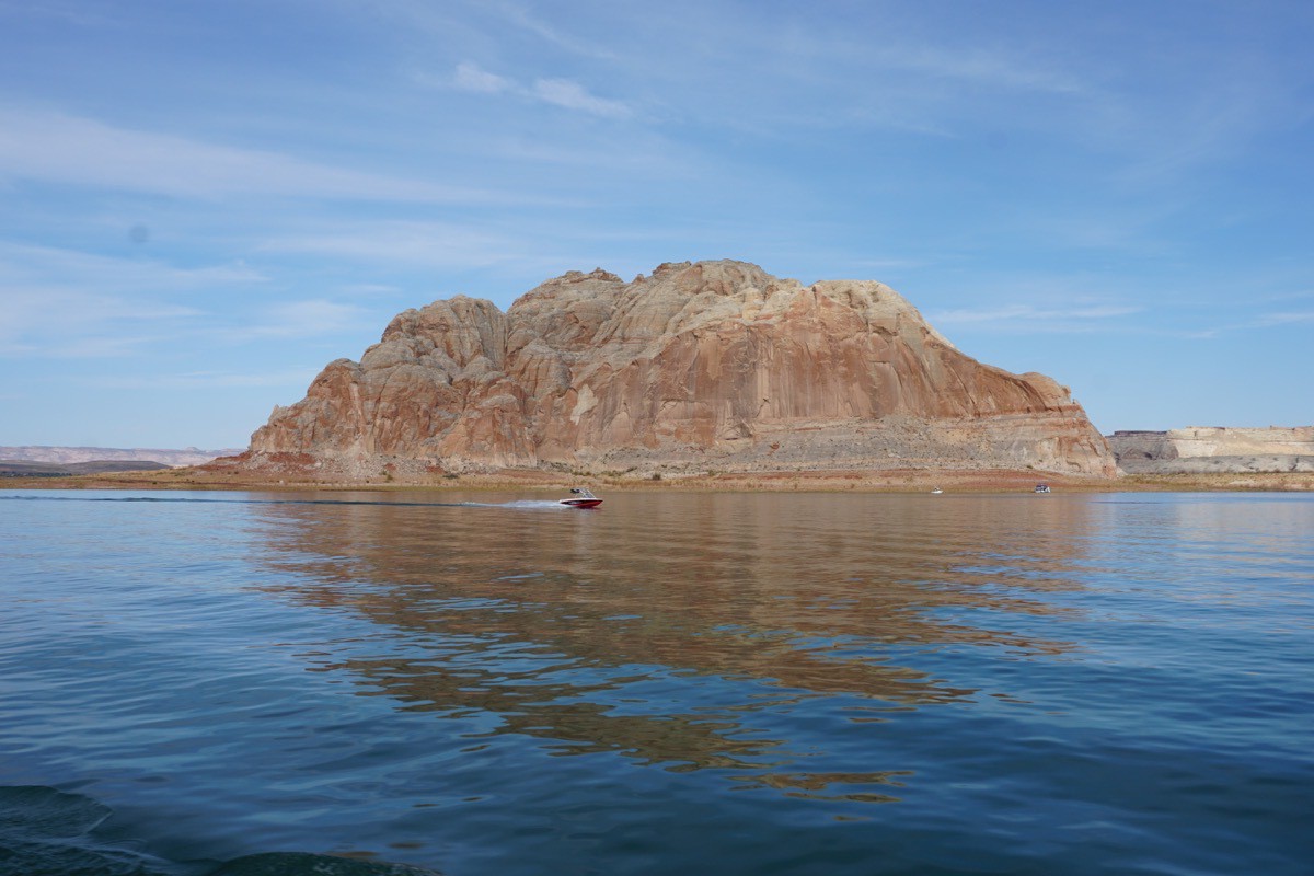
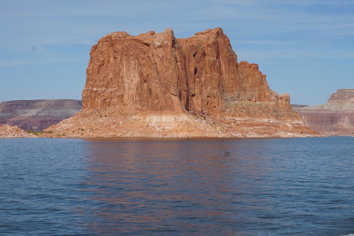
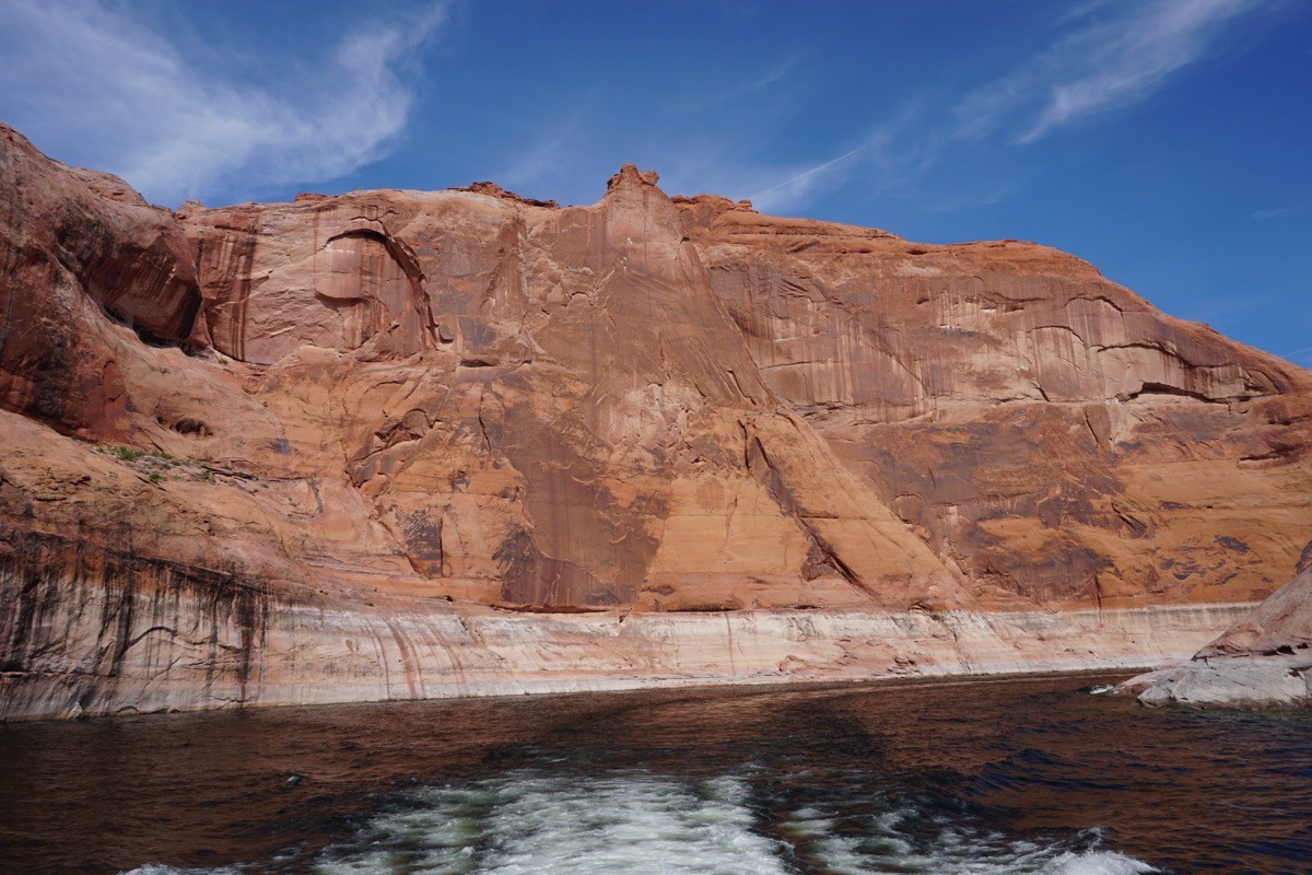
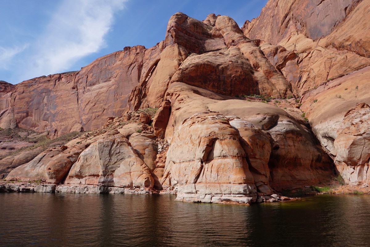
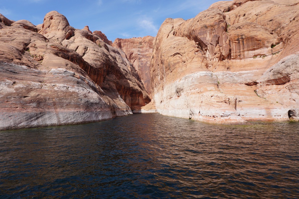
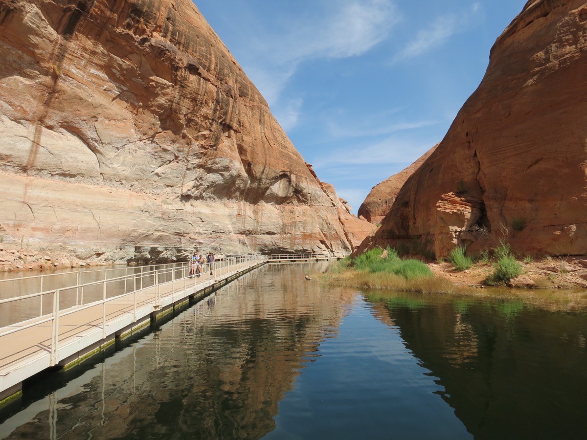
Our first stop was here where we got off the boat and walked a mile to the Rainbow Bridge National Monument.
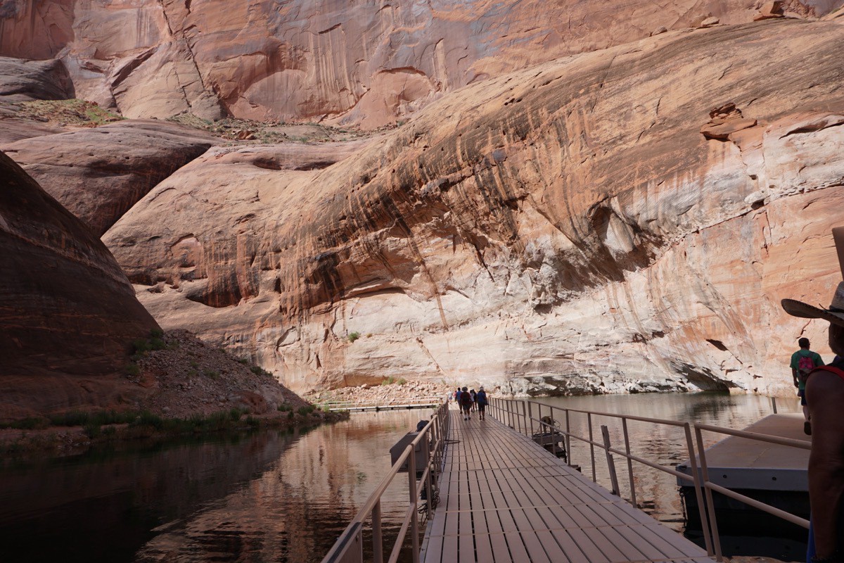
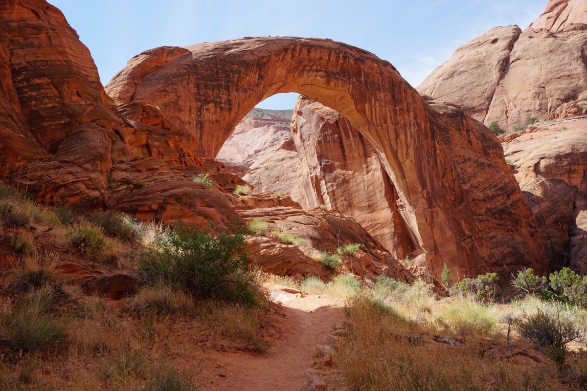
Once we got to Rainbow Bridge, we hiked up the mountain on the left side and were able to come back down on the other side of it.
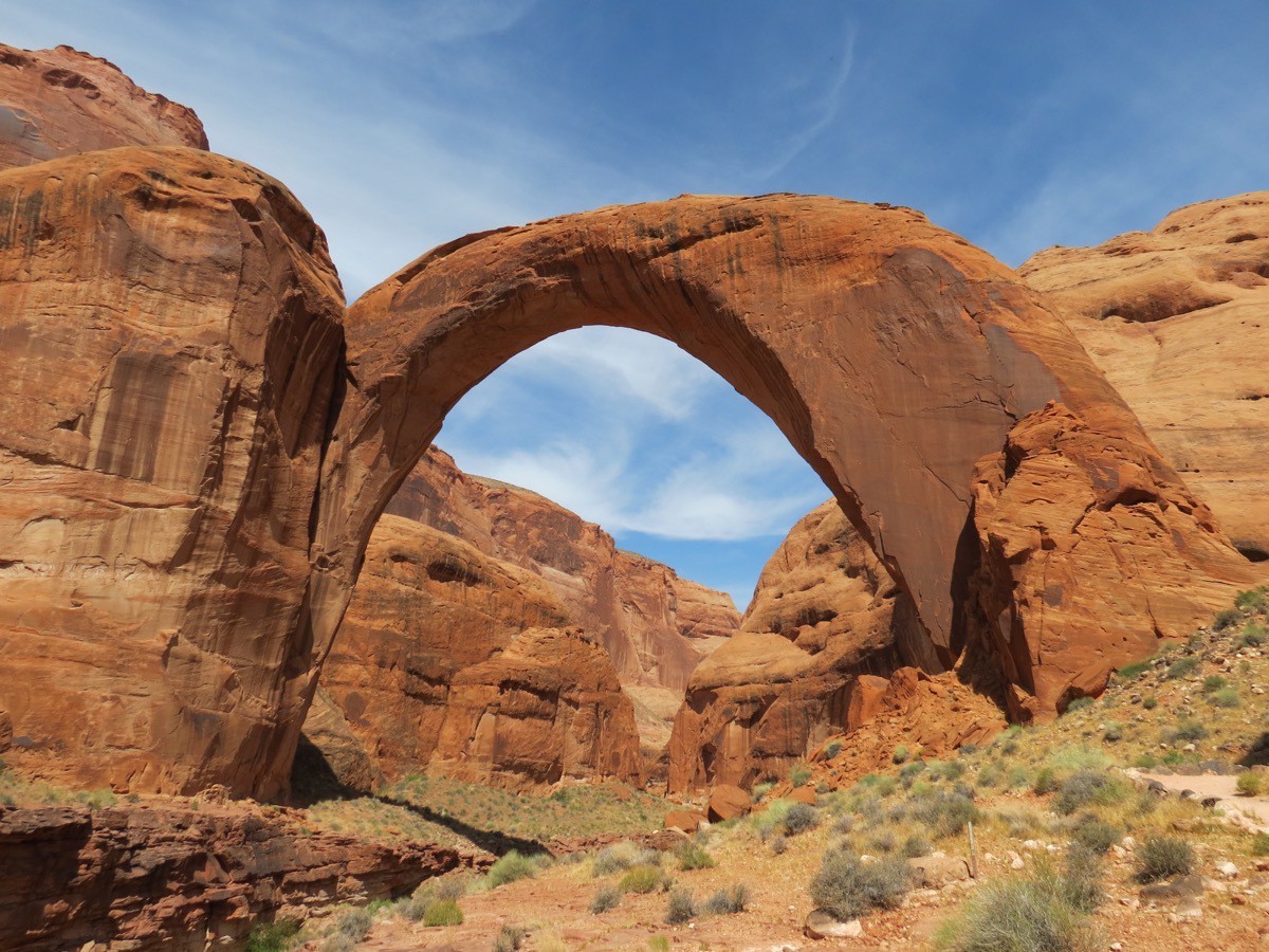
Here’s the view from the other side of Rainbow Bridge.
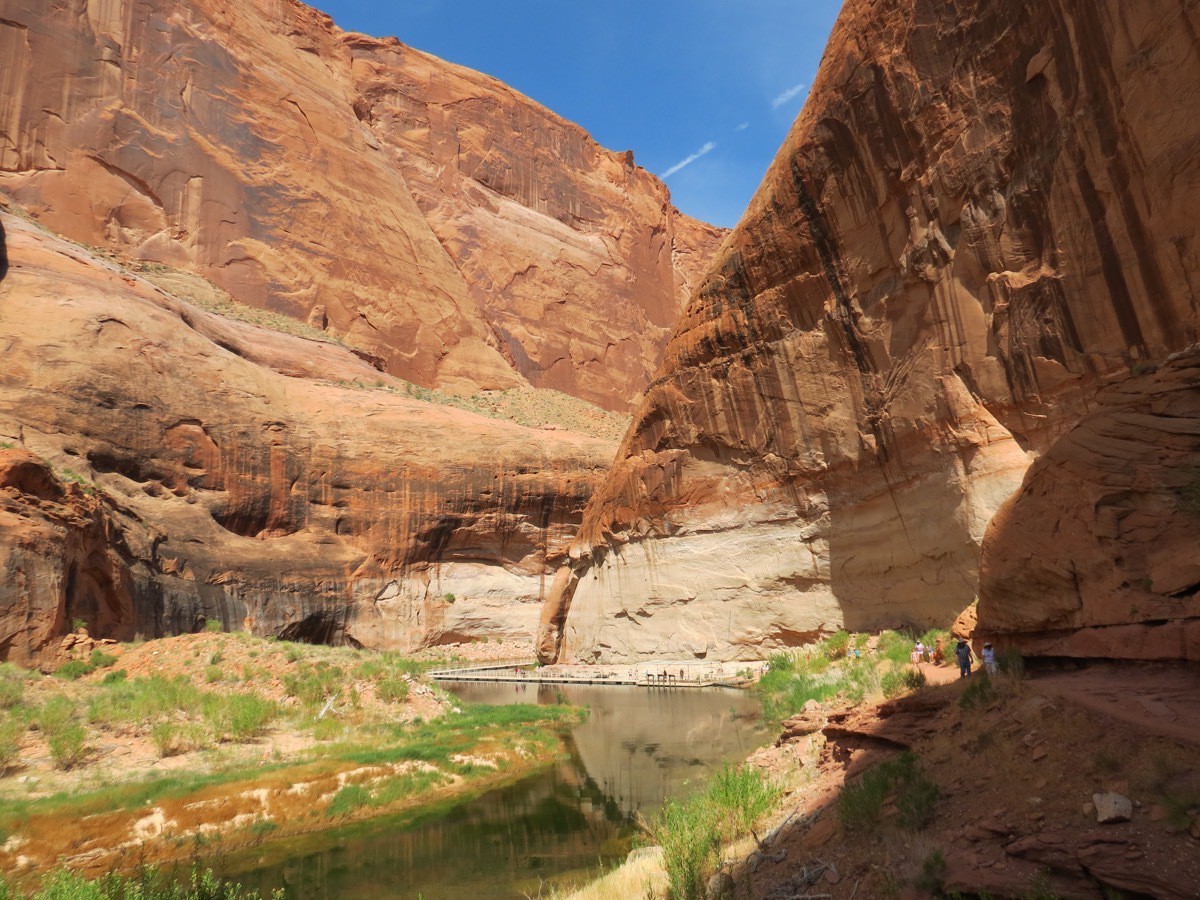
This is the view walking back towards the boat.
We made one more stop to pick up the mail and to get some ice cream. Because people rent huge houseboats and stay out on the lake for a week at a time, there is a convenience store with fuel tucked out in the middle of nowhere.
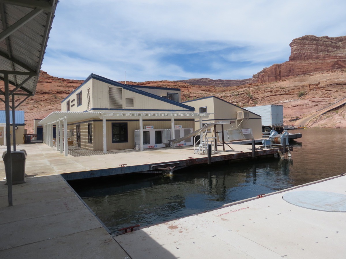
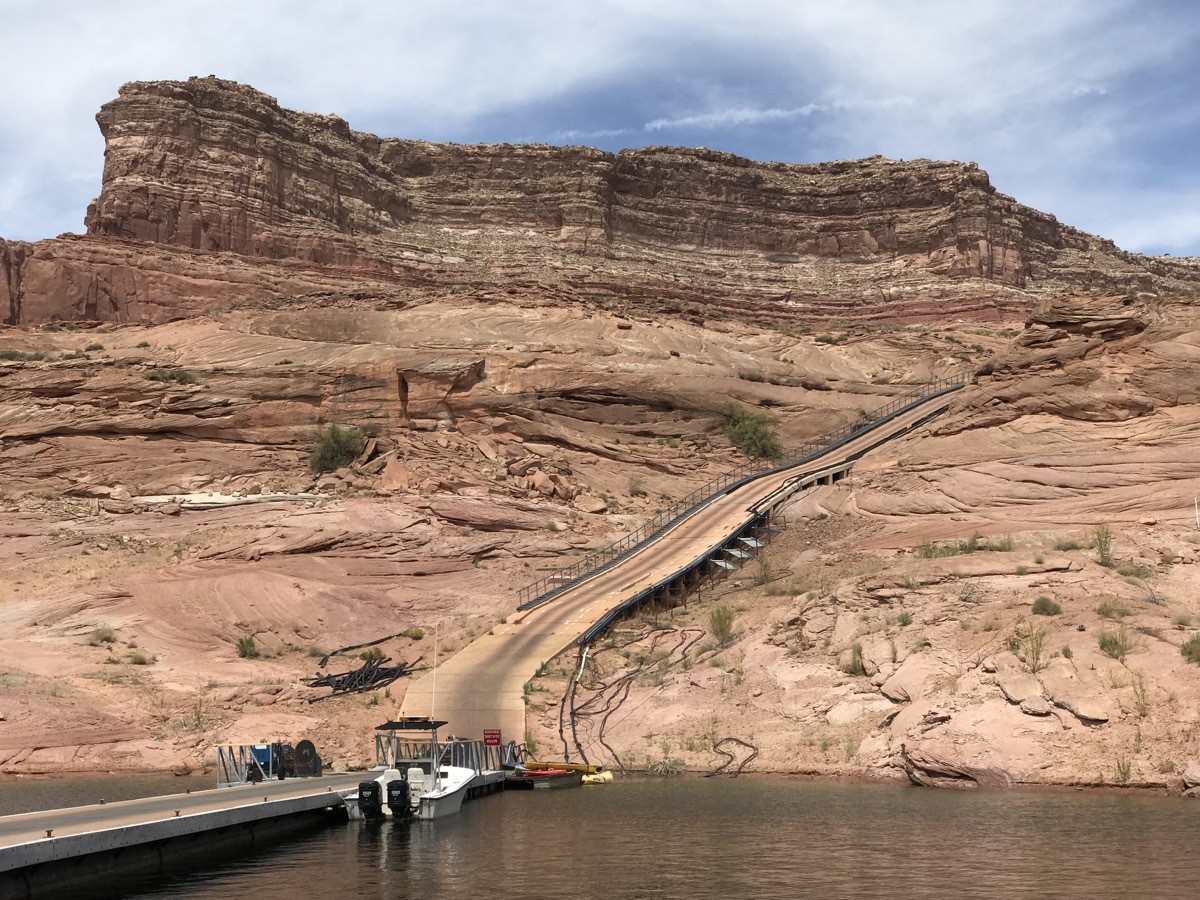
Check out that road coming down to the dock. I’m not sure whether that is how the fuel and supplies get to this store or what, but notice how the road matches the rock around it.
-
Toadstool Trail on the way from Kanab to Page
We left Kanah,UT on Hwy 89 and stopped 45 miles later to hike the Toadstool Trail. (This stop is also just 27 miles from Page, AZ if you are going the opposite way). The hike is only 1.6 miles roundtrip, but there is no shade and lots of loose red sand to walk on, so it was definitely a warm hike in 95 degrees! After signing the trail register, we walked through the cattle gate and continued north towards the badlands ahead. A brown post marked the trail up the wash.
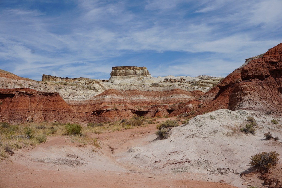
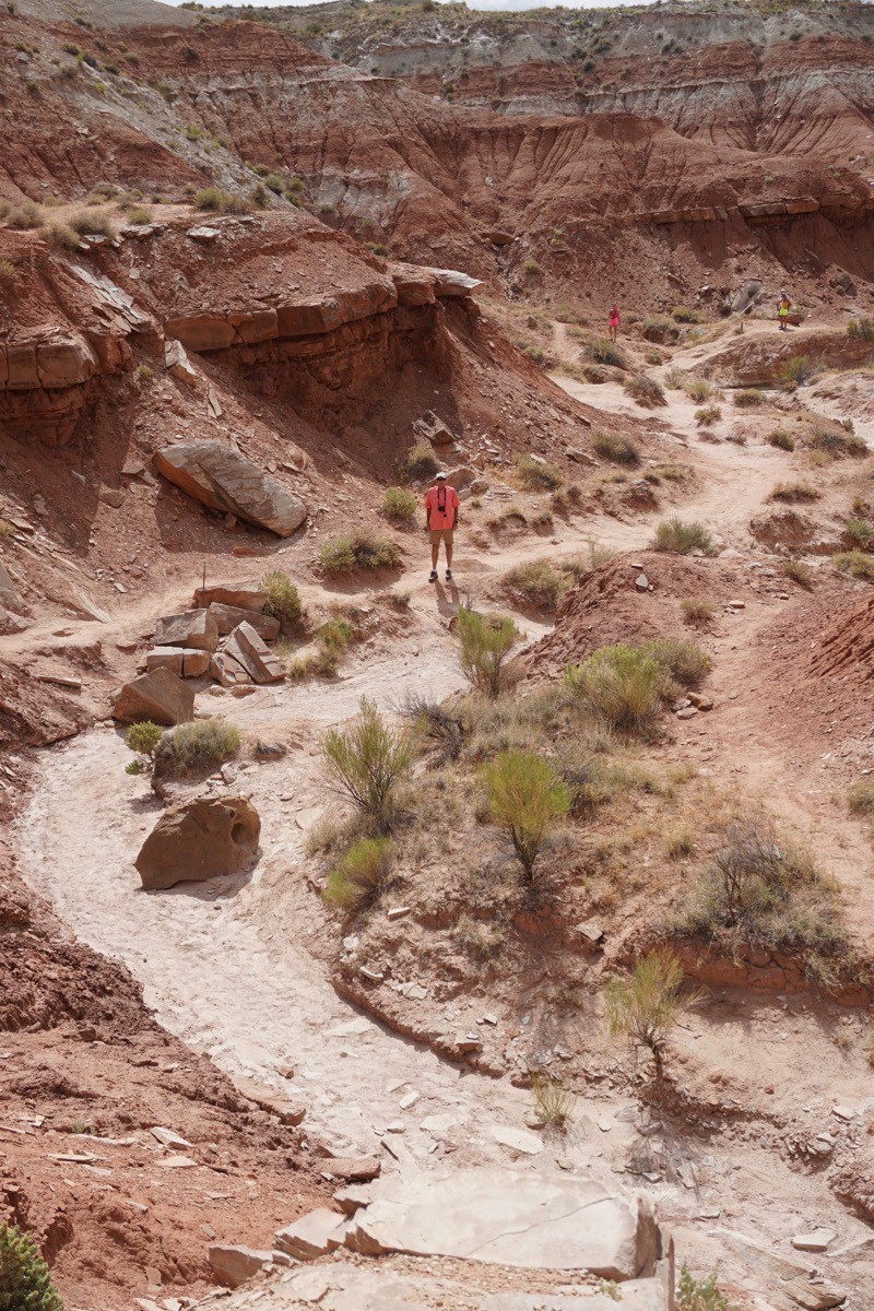
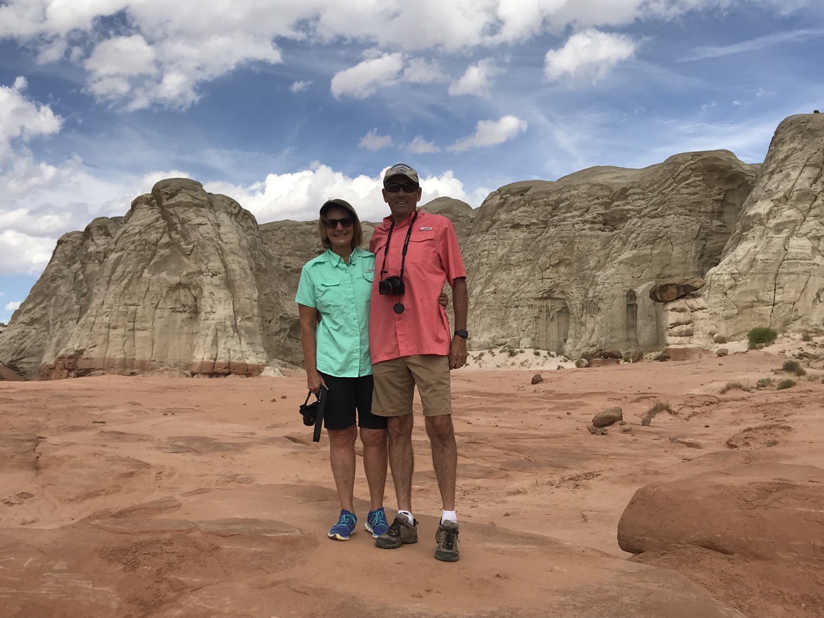
This is Tom walking up the wash.
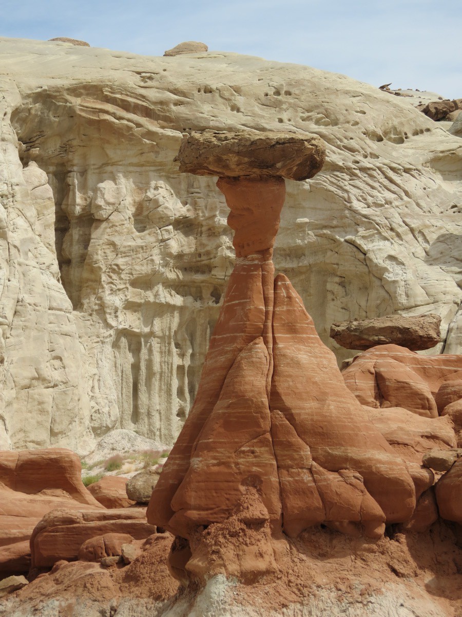
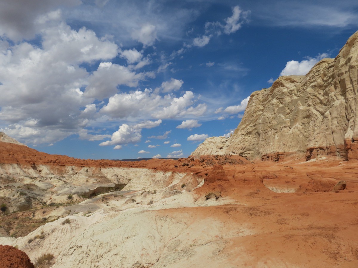
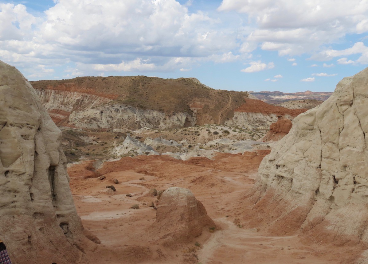
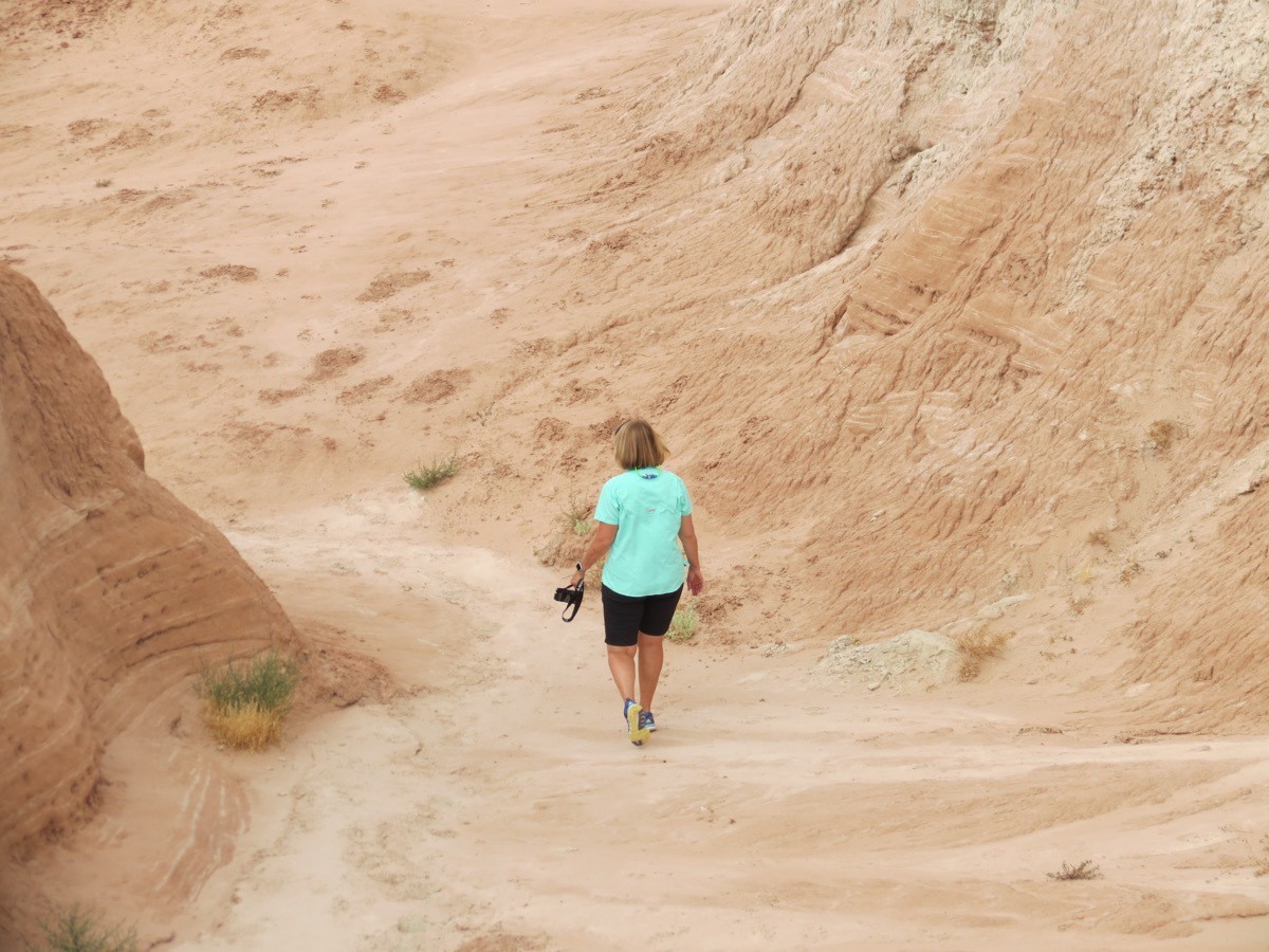
Notice the lighter colored trail depending back to the starting point.
 Going down after going all the way to the top!
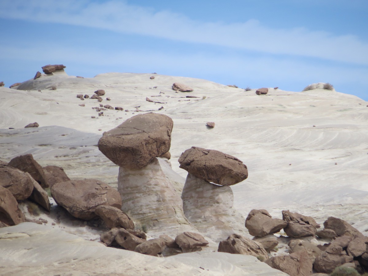
The terrain and the toadstools look they are on some strange planet.
-
North Rim of the Grand Canyon
This morning we entered the lottery to hike The Wave in Utah (google it in images—absolutely amazing), but didn’t get one of the TEN slots. Tom had tried the online lottery four months ago and obviously didn’t win that one either. Only 20 hikers per day are allowed to go there.
Anyway, we decided to drive to the North Rim of the Grand Canyon since it was only 80 mikes away. WOW!!!! We think it’s so much prettier than the south rim and we didn’t even have a clear day. It was 56 when we got there and 70 when we left. It is also a lot less crowded on the North Rim.
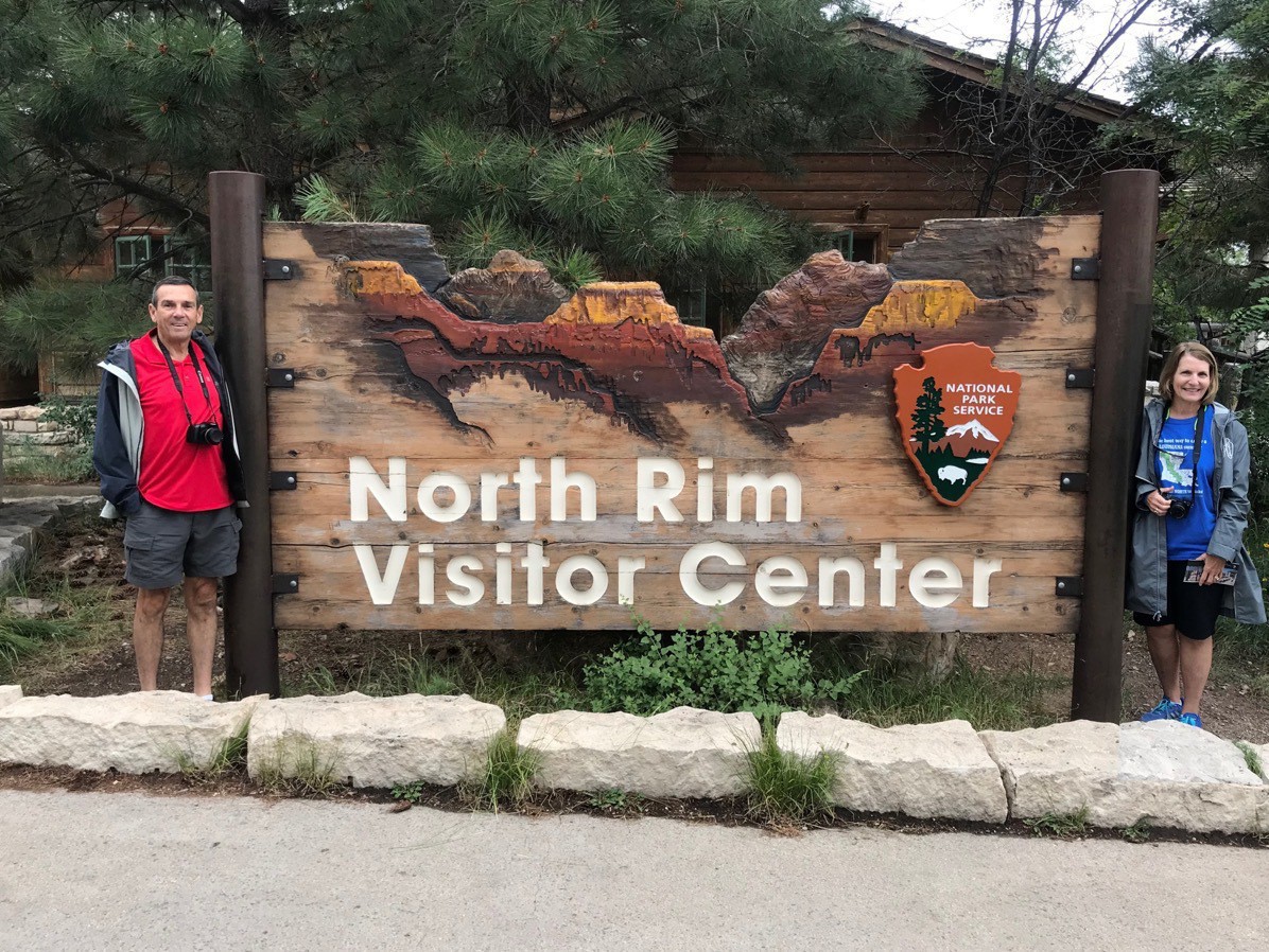
After we arrived and stopped for our obligatory picture at the park sign, we walked the paved .5 mile trail to Bright Angel Point. The trail is paved, but very steep in places, both coming and going with some steep drop-offs on both sides, but there is a spectacular view from there.
Bright Angel Point
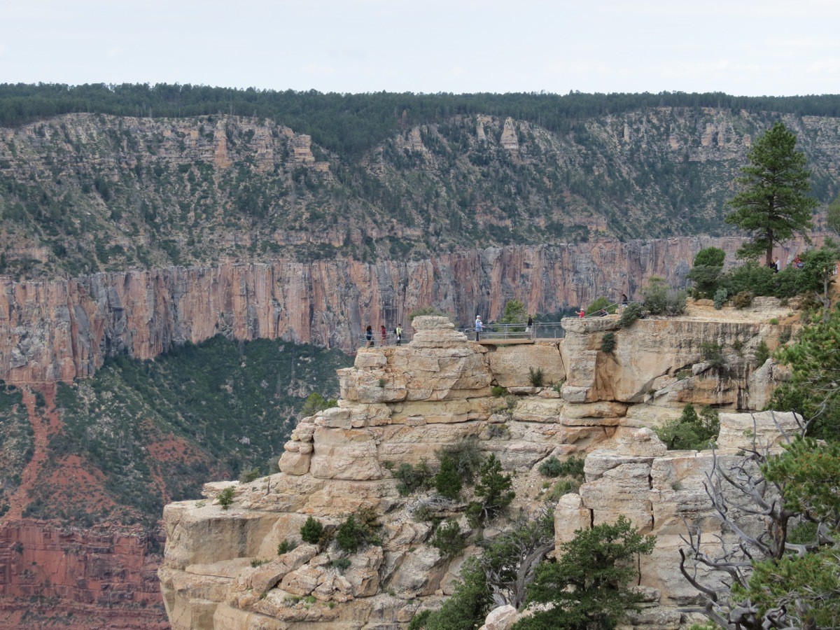
Here is the view of Bright Angel Point from the Rim.
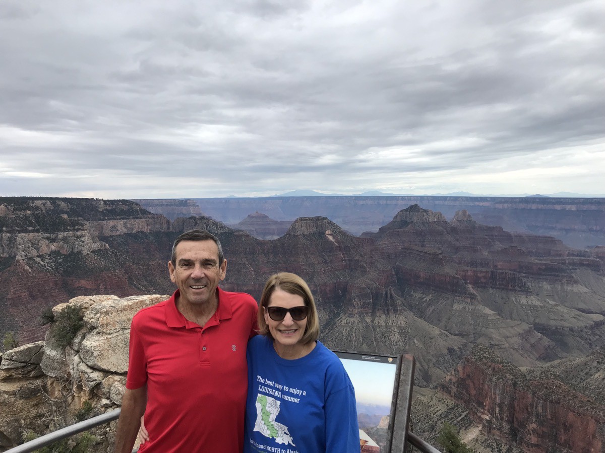
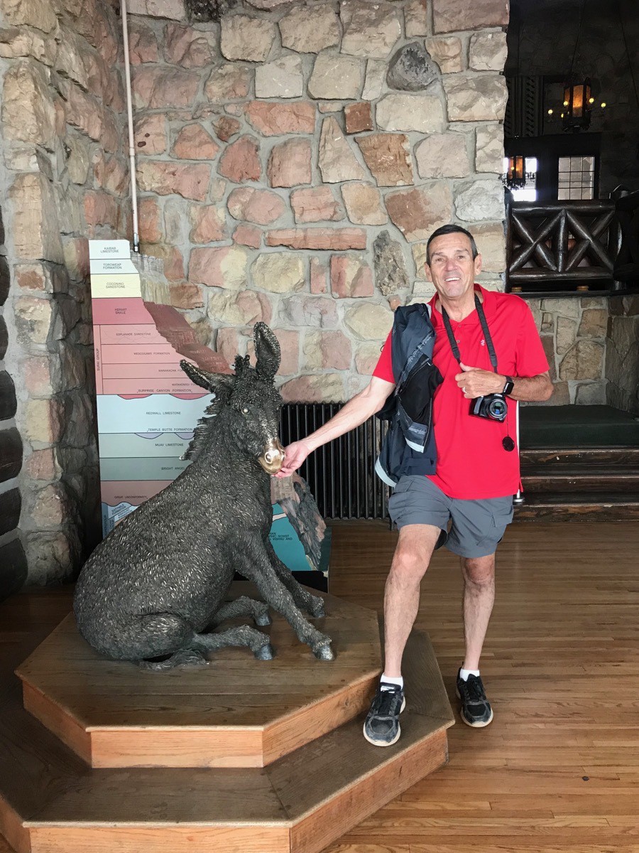
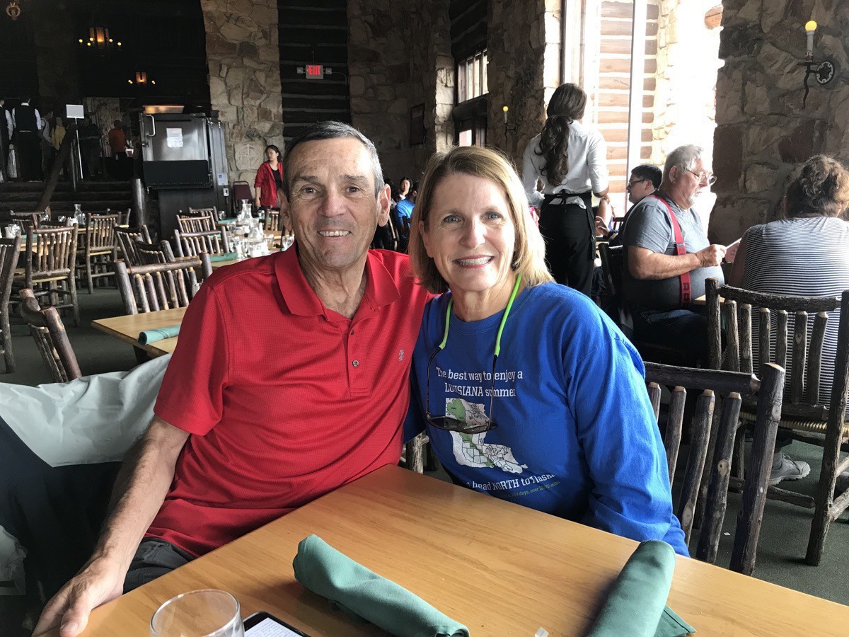
After completing the Bright Angel Point Trail we hiked up to the lodge and restaurant where we celebrated our 31st anniversary with a mediocre meal at lunch (but a great view and a great day).
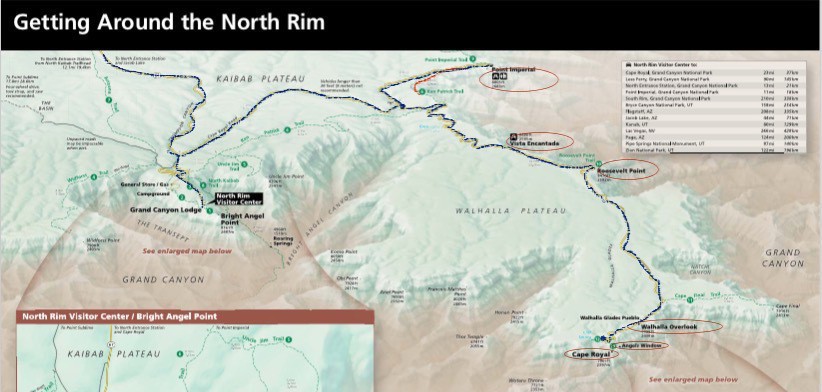
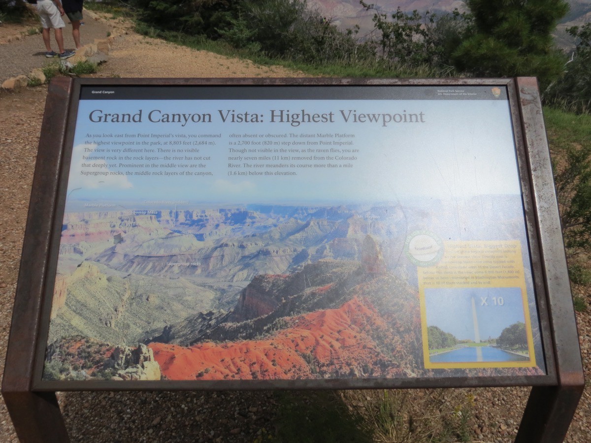
After lunch we drove Cape Royal Road all the way to the end, stopping at Point Imperial for a lovely hike along the rim and some beautiful vistas. Point Imperial is the highest point in the part at 8,803 feet and the biggest drop to the canyon floor. The Colorado River is 5,000 feet below. We also stopped at all the points circled above in the National Park Service’s map.
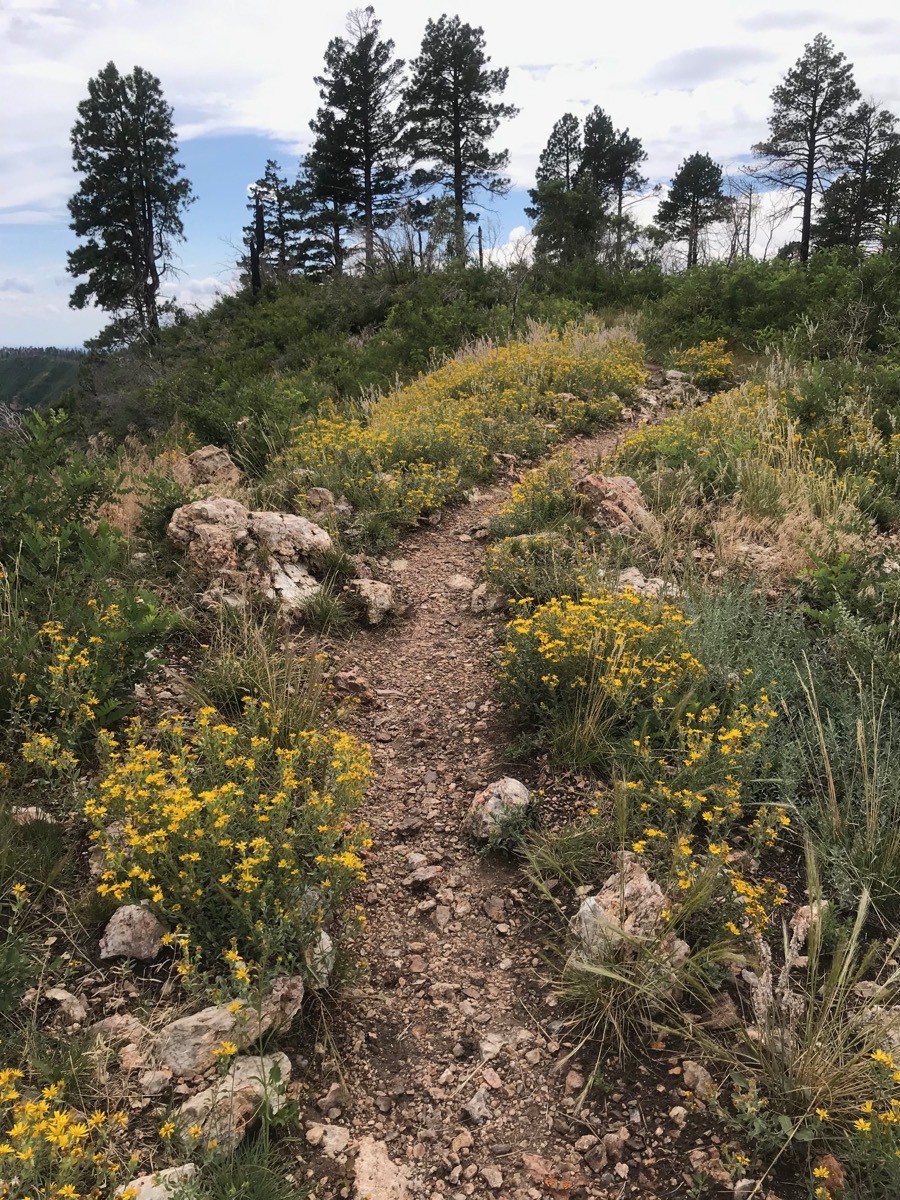
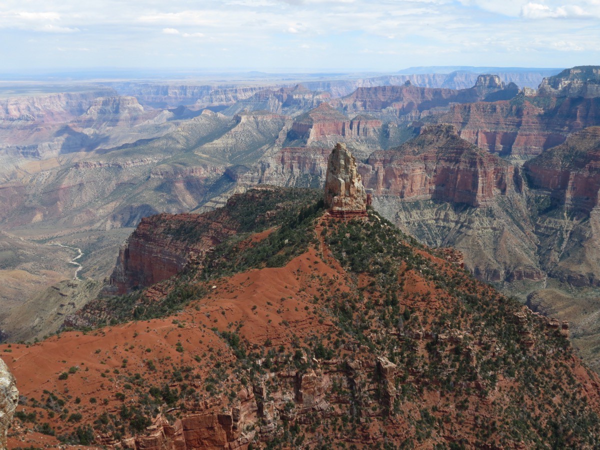
View of Mt. Hayden from Point Imperial.
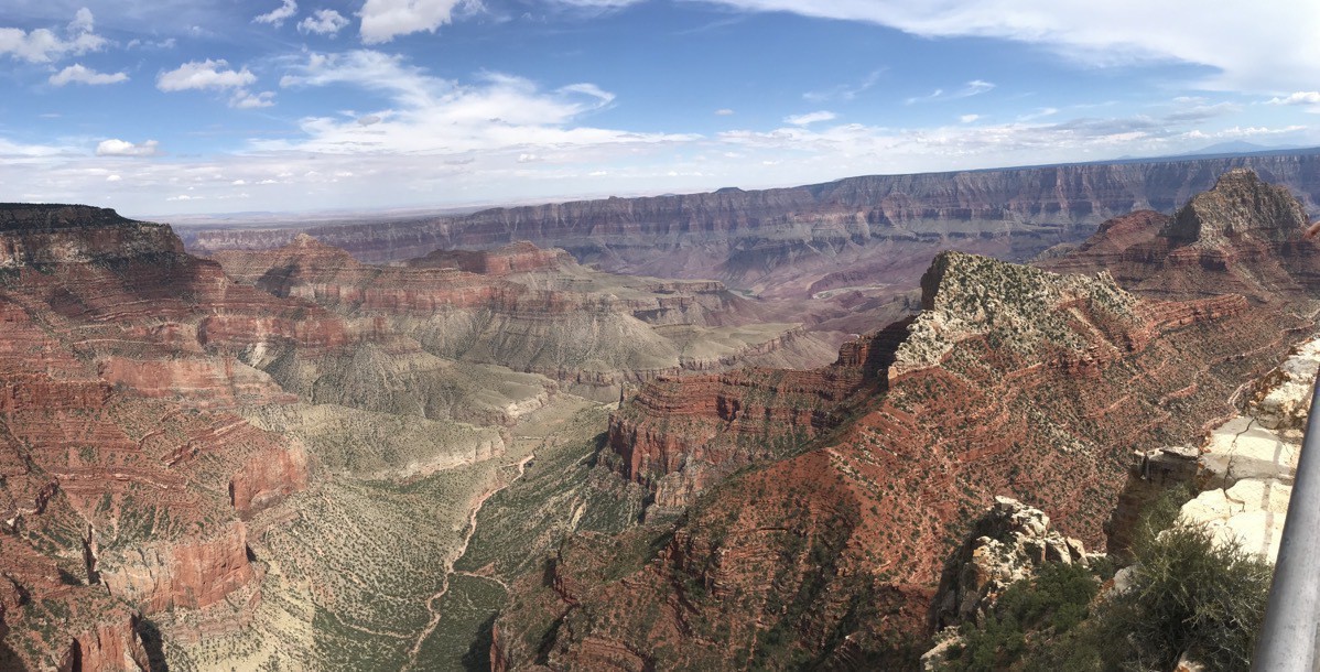
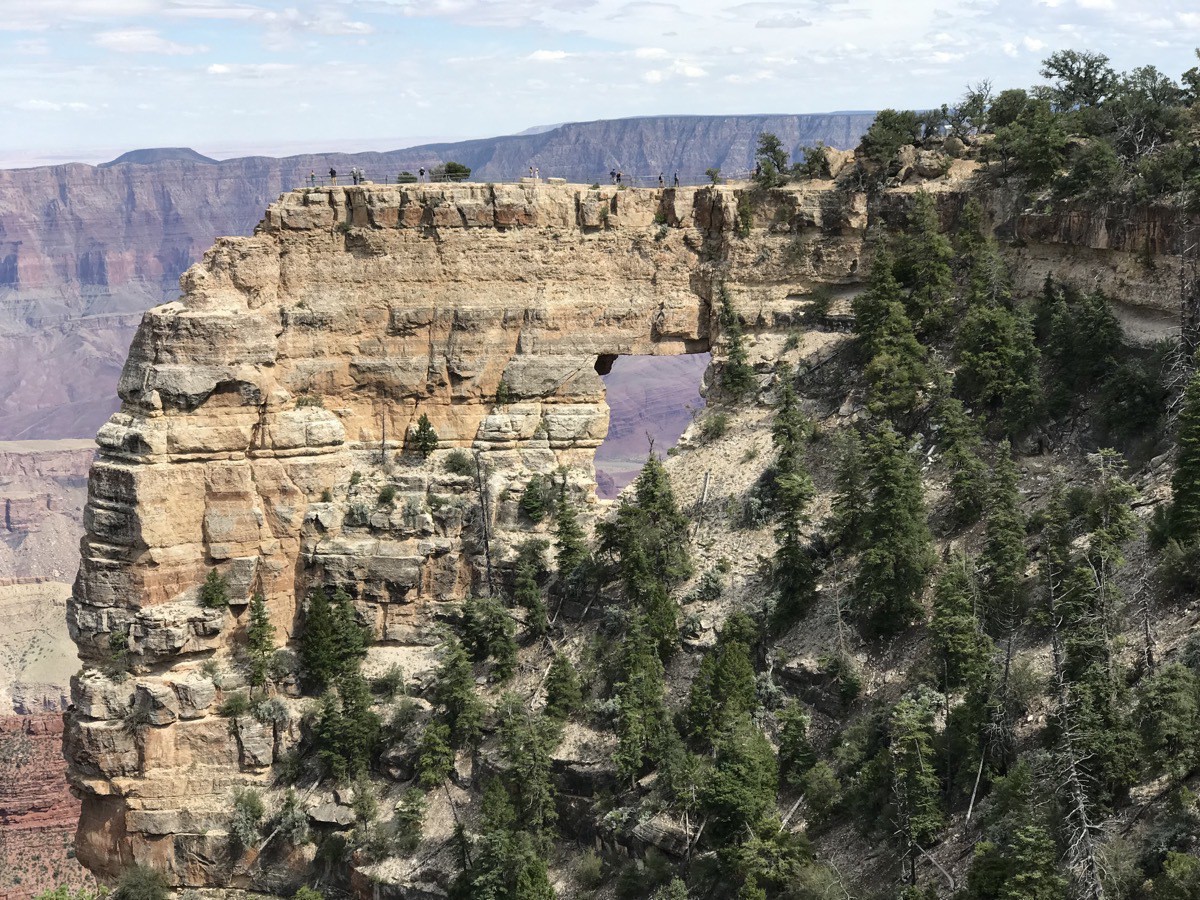
Cape Royal provides a panorama up, down, and across the canyon. We could see the Colorado River through the natural arch of Angels Window, but not well enough to get a good picture.
It was a great way to celebrate our anniversary. Have road will travel…..
-
Zion to Kanab, Utah-Coral Sands State Park
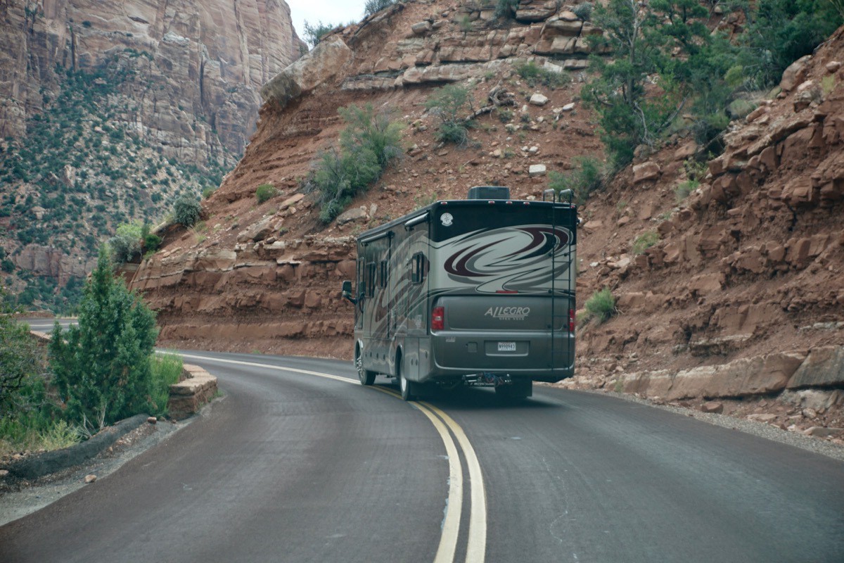
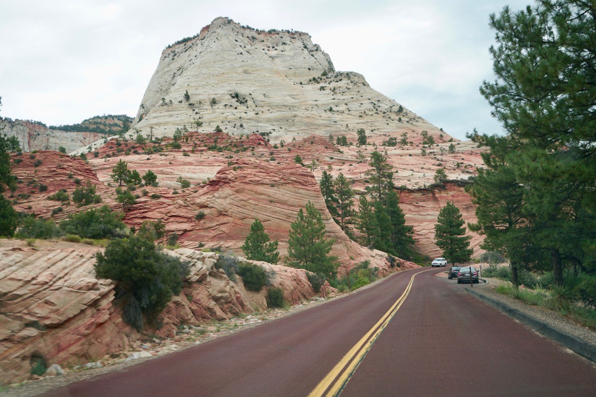
We left Springdale around 11:00 this morning and drove back out of Zion on the beautiful Zion/Mt. Carmel highway to head to our next destination of Kanab, Utah. We started out driving separately since our combined length is too long for this road.
Coral Sands State Park
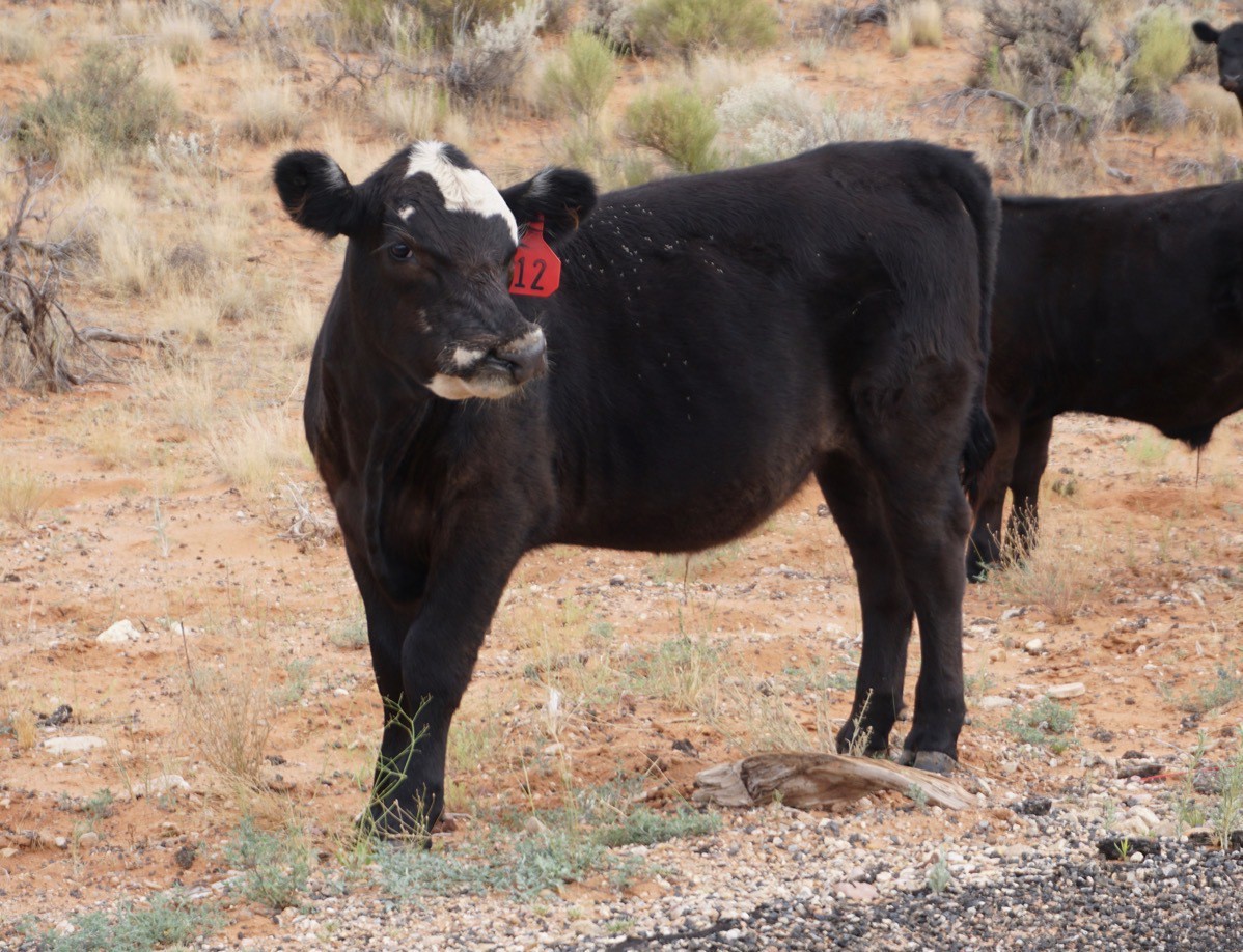
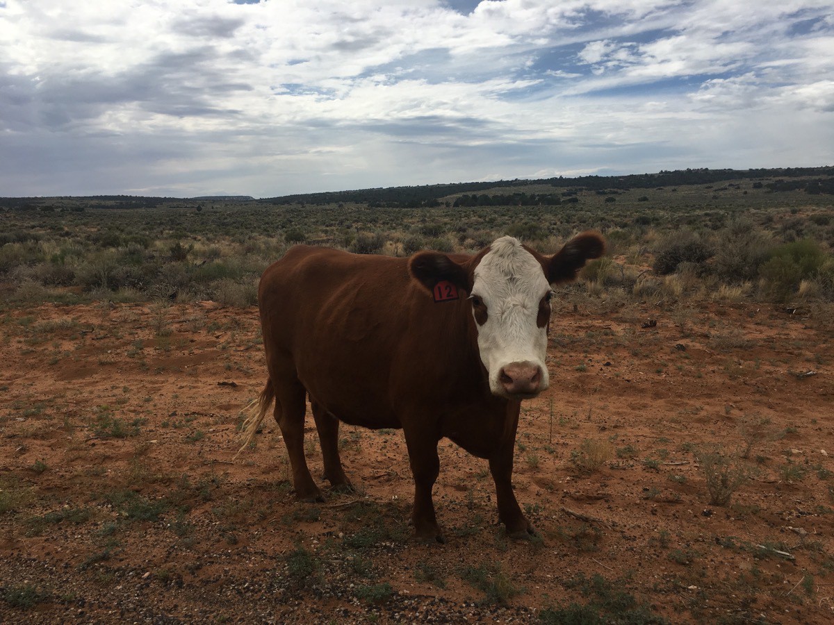
After parking Big Hat at the Kanab RV Corral Campground in Kanab, Utah, we walked a mile to the Visitor’s Center to get information on hikes and things to see. We decided to start off with a drive to the Coral Sands State Park which was about 15 miles from our campground. Along the way we saw a few cows standing on the side of the road—not your everyday sight in Louisiana!
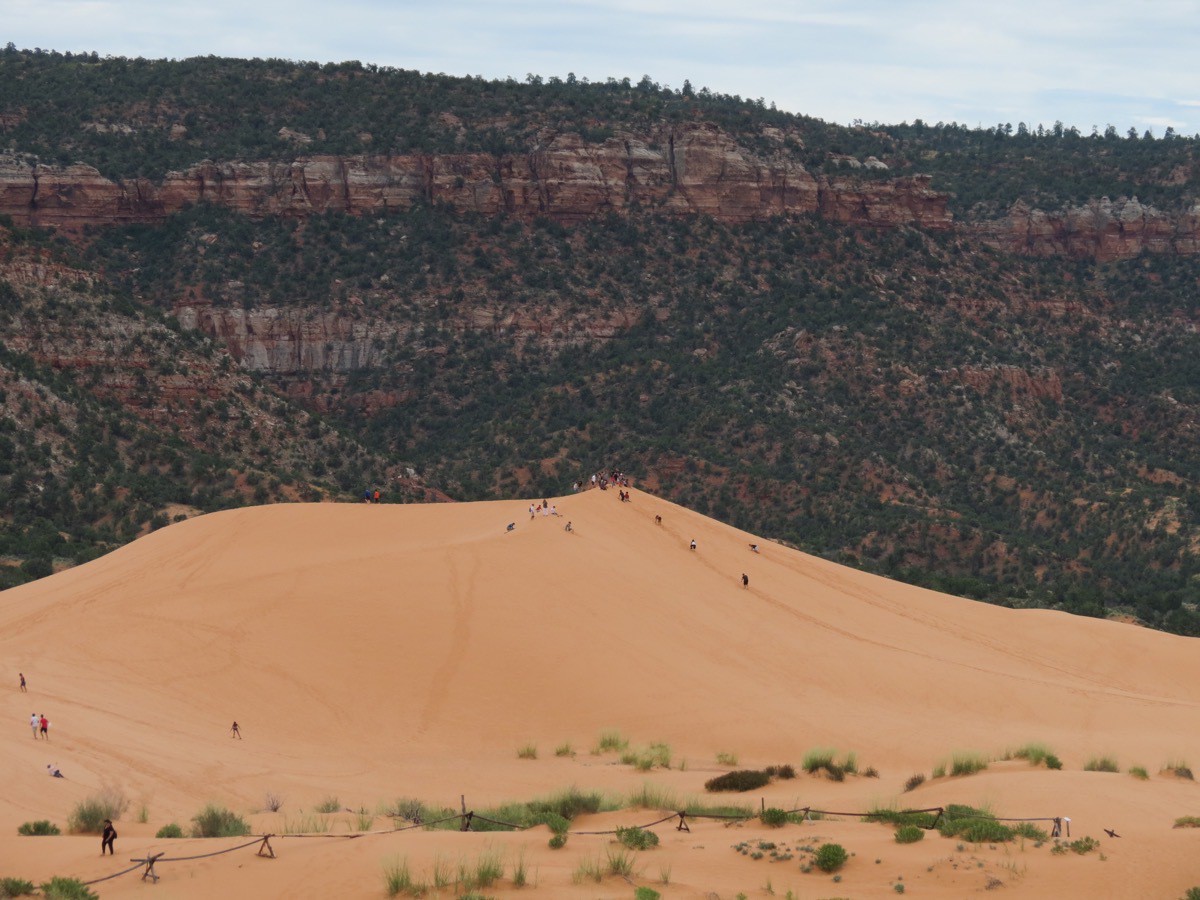
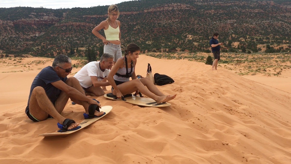
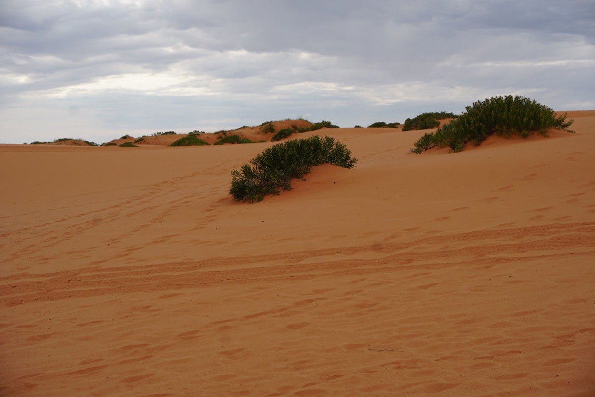
Look how tiny all those people look up on that sand dune. We walked to the very top which was very strenuous in that deep loose sand, and watched people try to sled and boogie board all the way down..
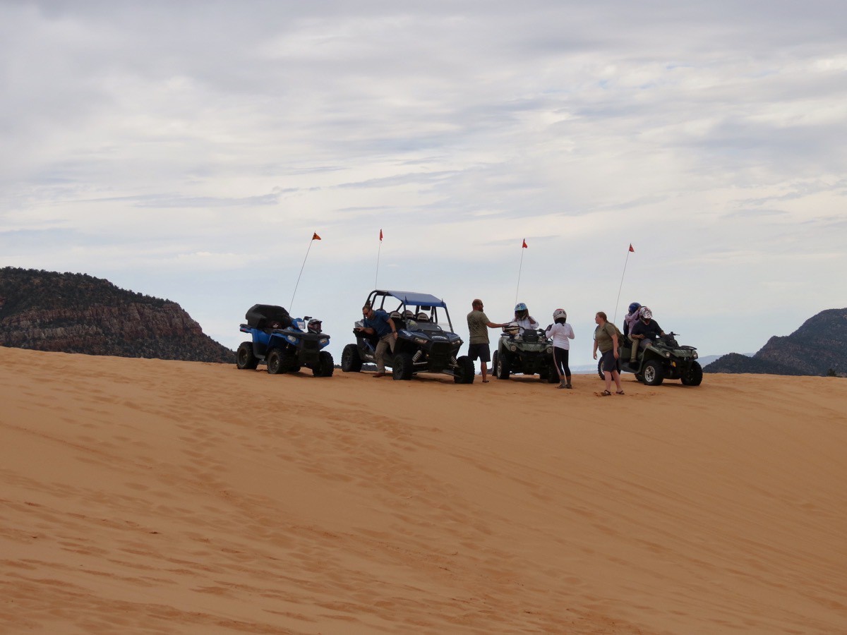
This is also a great place to ride an ATV.
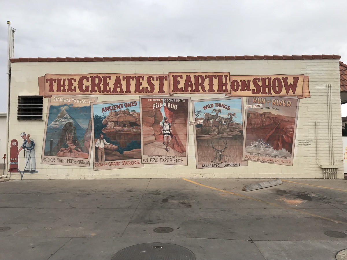
The side of this building says it all!!
-
Zion to Kanab, Utah-Coral Sands State Park
We left Springdale around 11:00 this morning and drove back out of Zion on the beautiful Zion/Mt. Carmel highway to head to our next destination of Kanab, Utah. We started out driving separately since our combined length is too long for this road, but then hooked the car back up as soon as we got out of the park.


Coral Sands State Park
After parking Big Hat at the Kanab RV Corral Campground in Kanab, Utah, we walked a mile to the Visitor’s Center to get information on hikes and things to see. We decided to start off with a drive to the Coral Sands State Park which was about 15 miles from our campground. The park features coral-hued sand dunes located beside red sandstone cliffs. Along the way we saw a few cows standing on the side of the road—not your everyday sight in Louisiana!


Look how tiny all those people look up on that sand dune. We walked to the very top which was very strenuous in that deep loose sand, and watched people try to sled and boogie board all the way down..


This is also a great place to ride an ATV.


The side of this building says it all!!
-
Hiking The Narrows at Zion National Park
This morning we drove into Zion National Park and caught the shuttle for our ride to the Temple of Sinawava stop, the last stop on the park shuttle. There we exited the shuttle and walked the 1 mile Riverside Walk to the point we entered the Virgin River. This time we were more prepared than the last time we hiked the river. We rented special water high-top hiking boots, neoprene socks and a shoulder height wooden walking stick.
The Zion Narrows is the narrowest section of Zion and the most popular slot canyon to hike in the park. Sections of the 1,000 foot high cliffs narrow down to just 20-30 feet wide. The hike began by hiking upstream, crossing back and forth across the Virgin River, through ankle to mid thigh deep water. We hiked all the way up to Wall Street, a 2 mile section of the canyon where the walls narrow to 22 feet and the water spans from wall to wall.
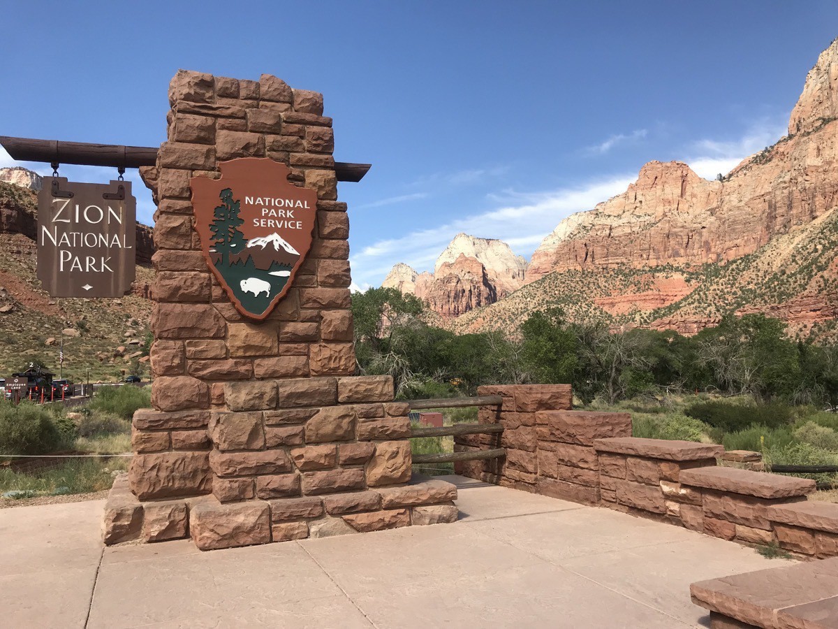
The south entrance to Zion National Park is located in the town of Springdale, Utah on Utah Rt. 9
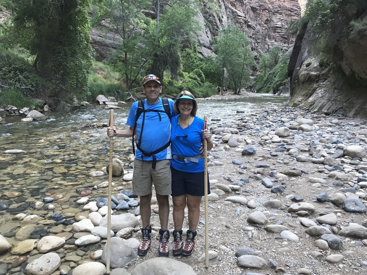
Here we are at the beginning of the hike
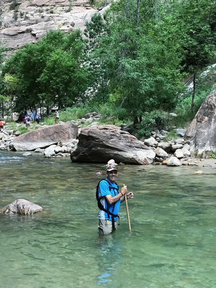
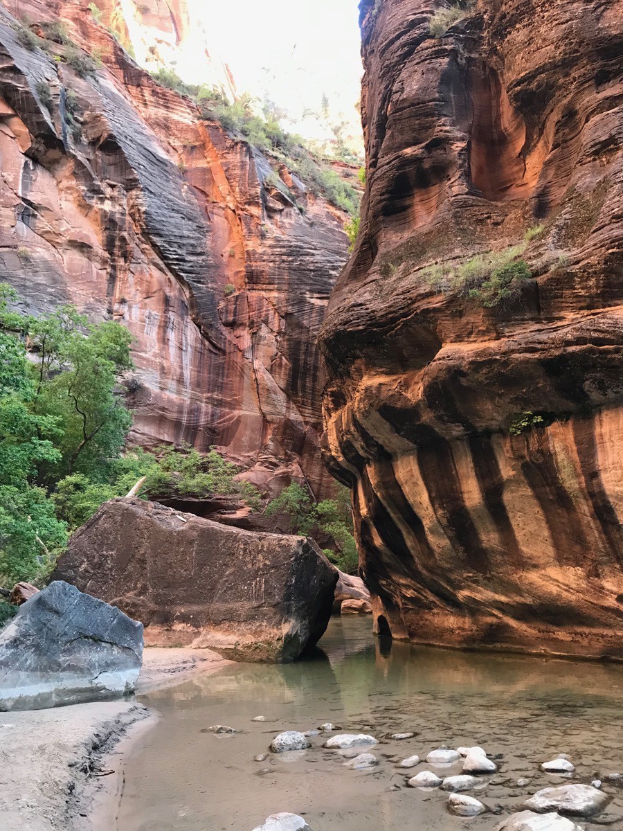
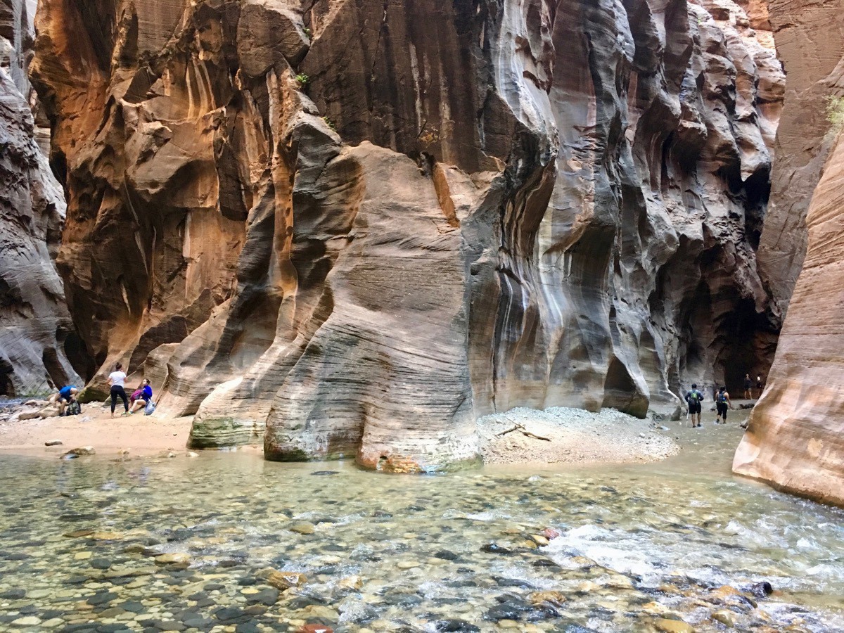
It was so cool hiking in the Virgin River.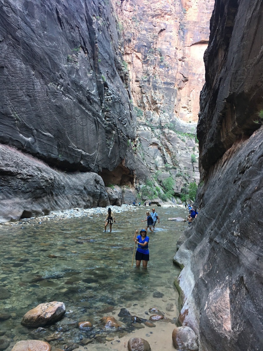 Look at the grandeur of these magnificent canyon walls.
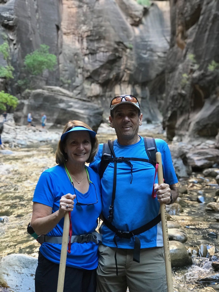
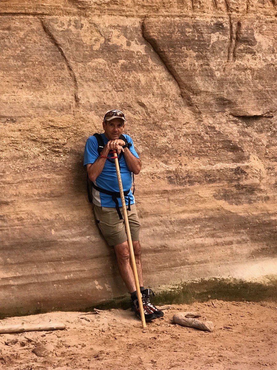
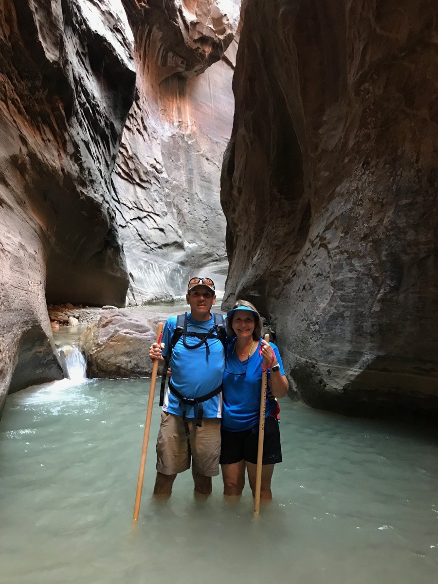 Here we are at Orderville Canyon, two miles upstream from where we began our walk in the water (3 miles into our hike)
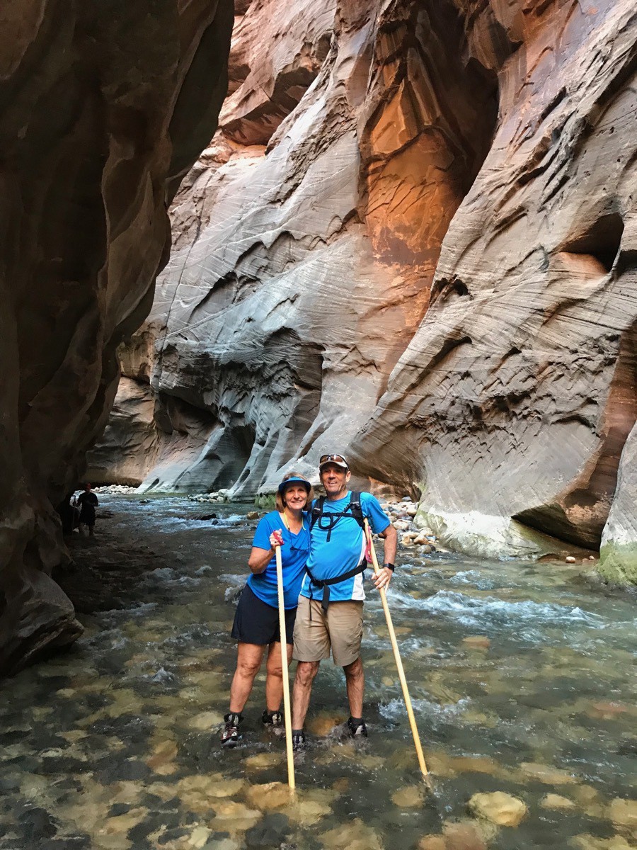 This is called Wall Street because the river goes from wall to wall in this part of the canyon.
Our hike was a total of 6.2 miles and a very strenuous one. We were absolutely exhausted when we were finished. We had to get back on the shuttle and ride back to the Visitor’s Center where our car was parked. After a quick shower, we ate lunch at Jack’s Sports Grill and then came back and took a NAP!
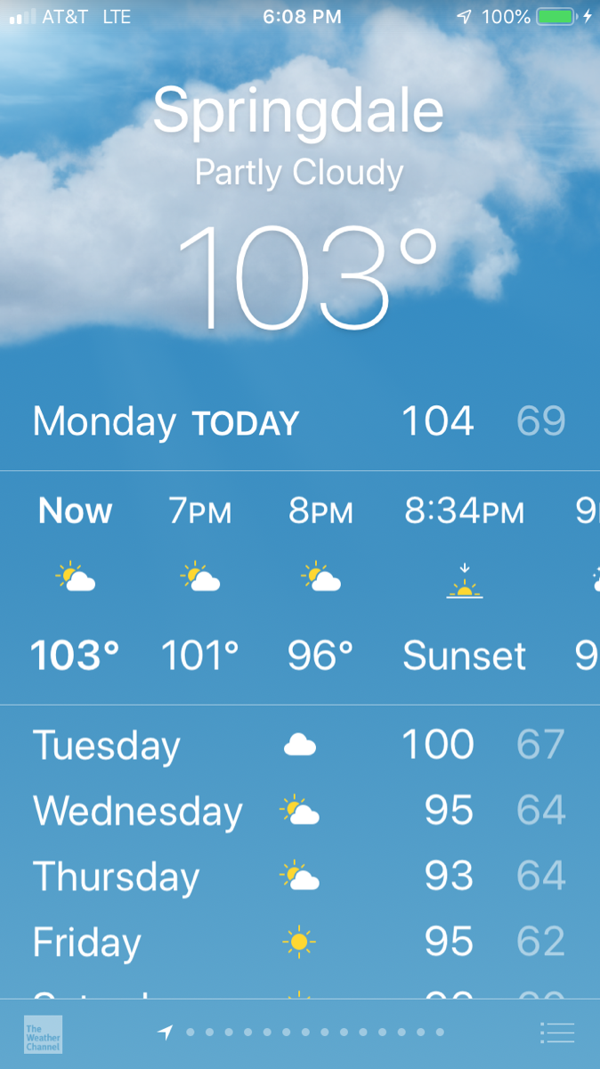
It was HOT today—but not while we hiked in the water!
-
Zion National Park - Angel's Landing Trail
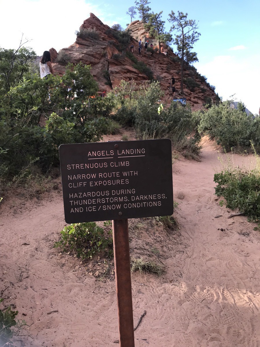
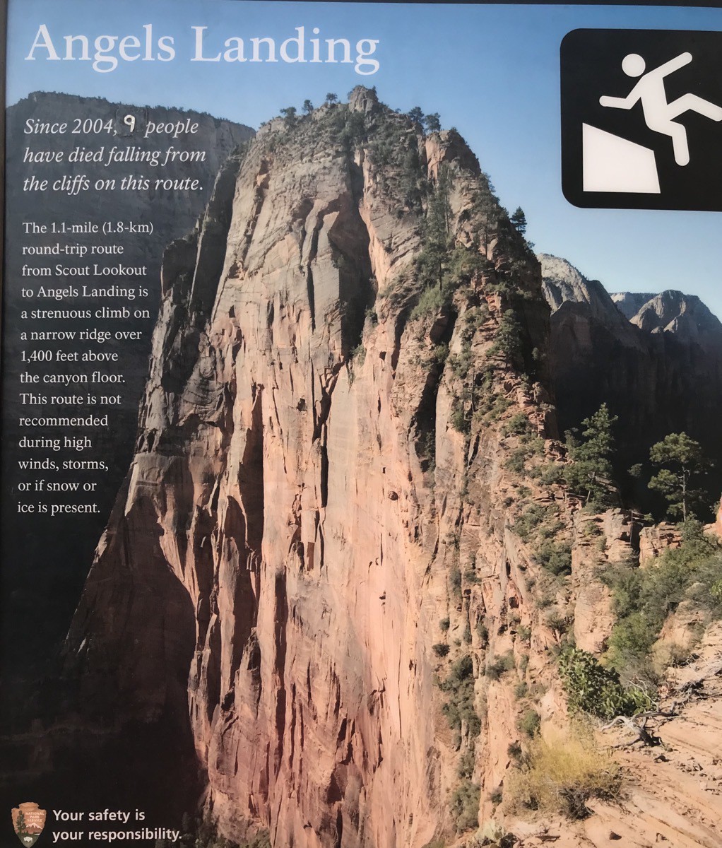
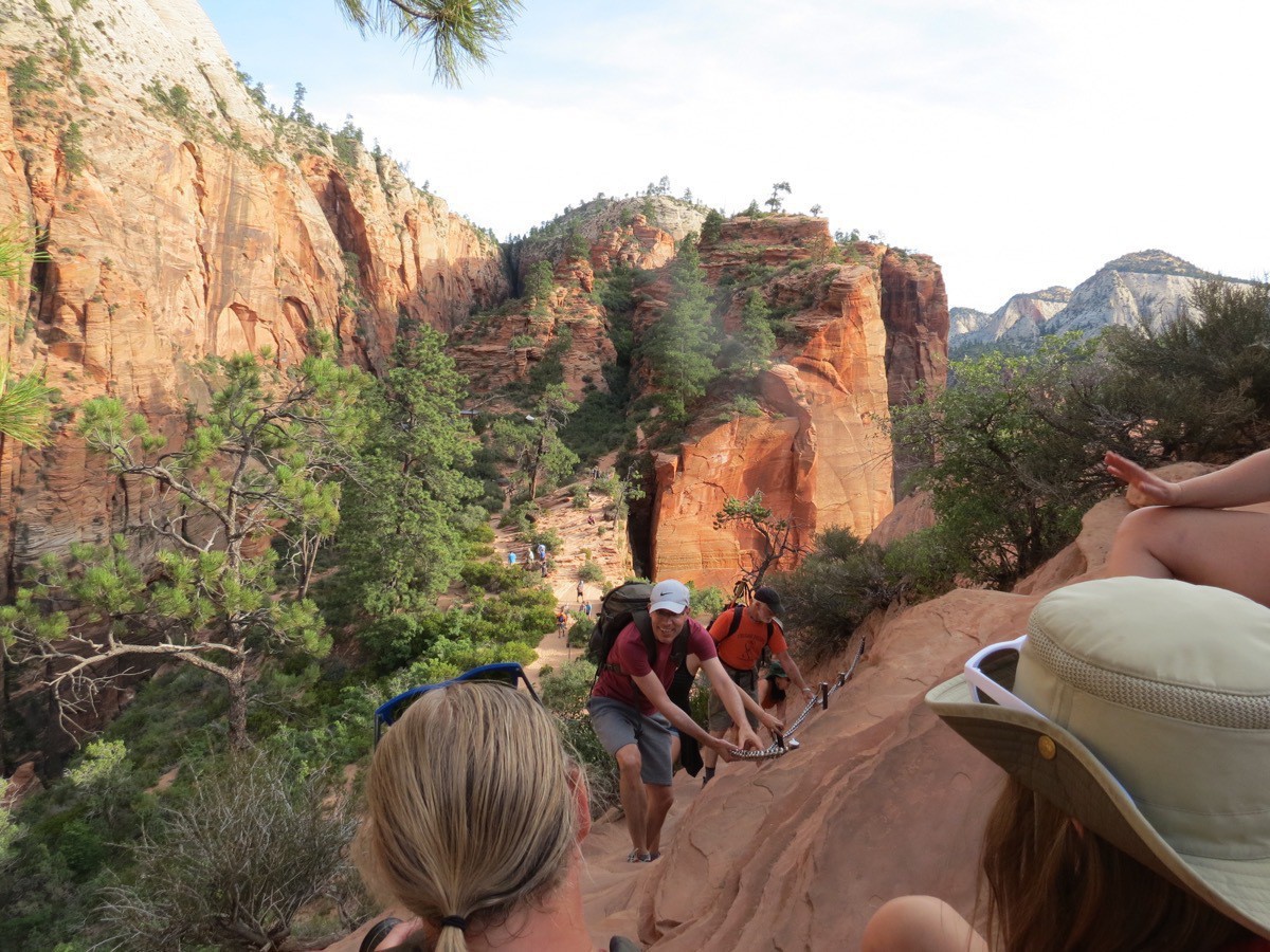
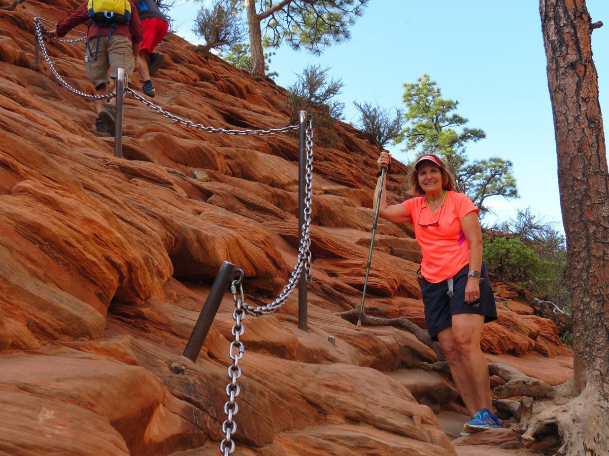
This morning we got up at 5:45 so we could get on the Zion National Park Shuttle and ride to the drop-off point for the Angel’s Landing Trail. This trail starts at the Grotto Trailhead, stop # 6 on the park shuttle. It’s 5 miles roundtrip with an elevation change of 1,488 feet. Switchbacks allow the trail to climb the canyon wall up to Refrigerator Canyon. The trail then climbs a series of switchbacks called Walter’s Wiggles—21 of these in total. The Wiggles get you to the top of the ridge at Scout Lookout where the views are amazing. For the final 1/2 mile the trail is very steep with chains bolted into the rock to hold onto.
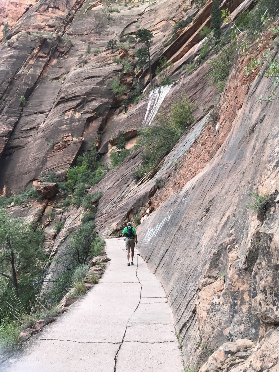
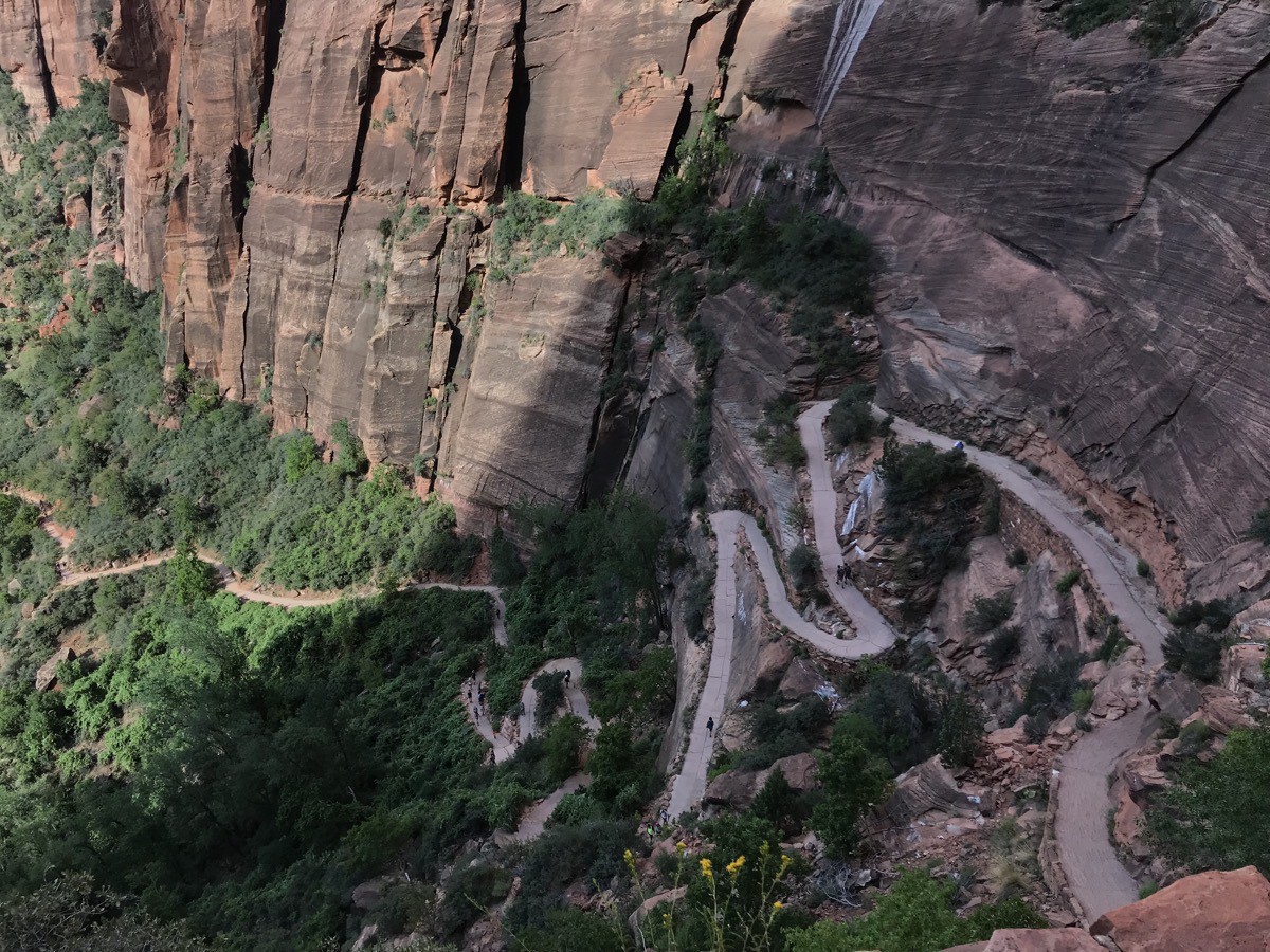
Switchbacks climbing up to Refrigerator Canyon
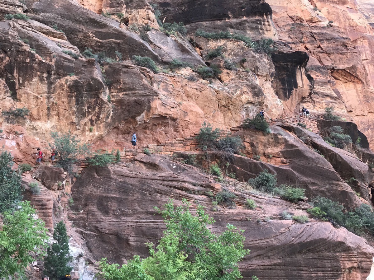
Look carefully to see the people hiking up.
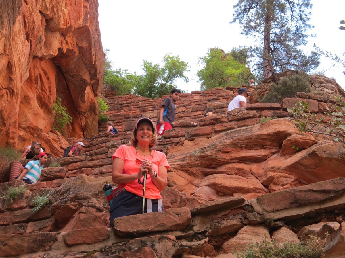
These 21 switchbacks are called Walter’s Wiggles. Look how many are above me!
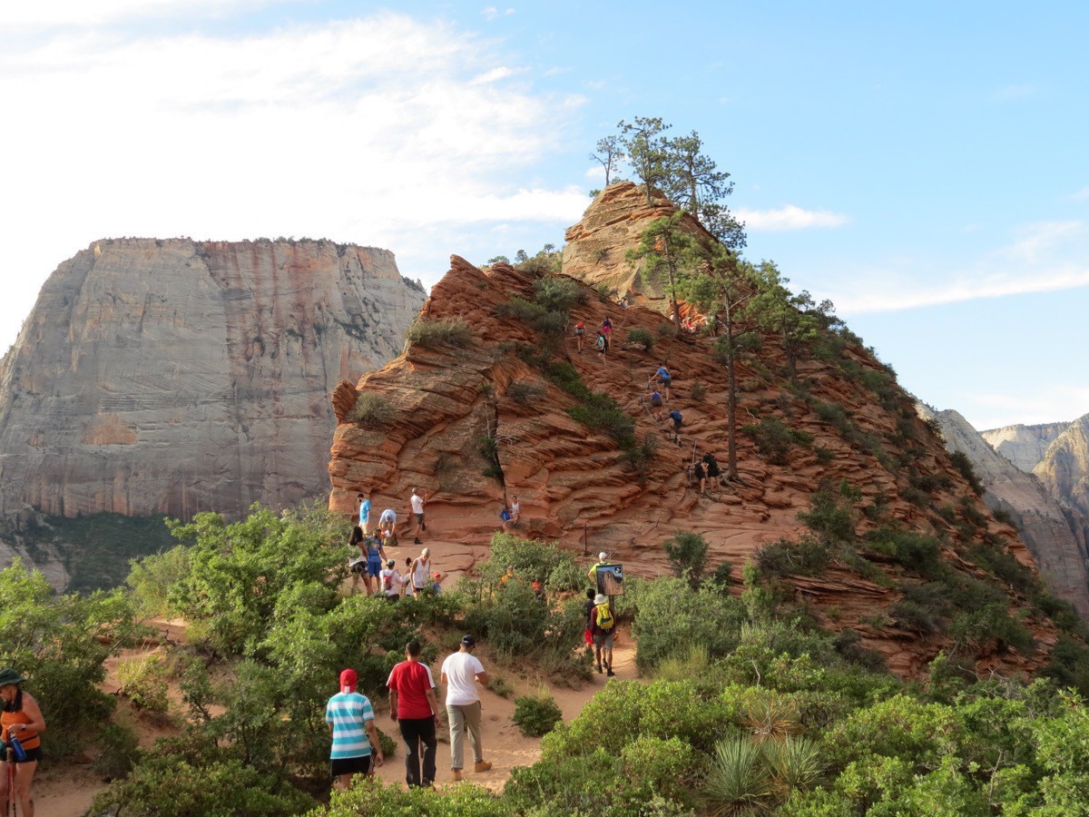
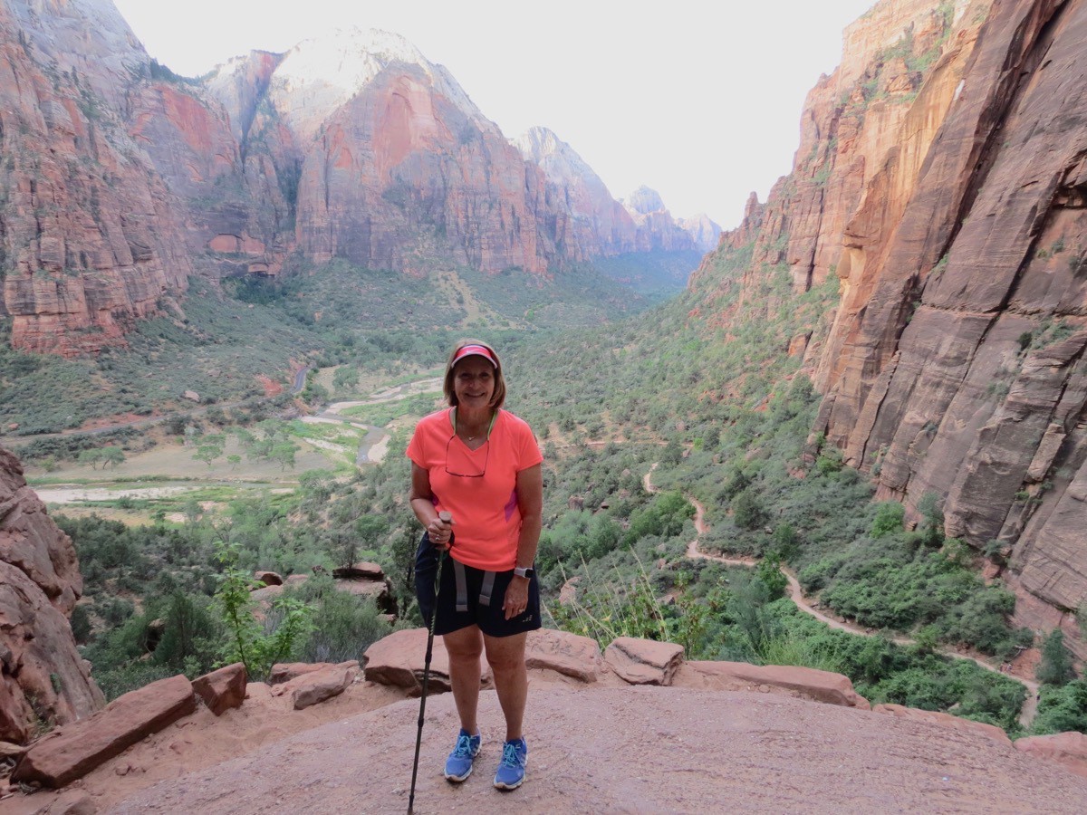
This is the first “mountain" past Scout’s Landing. My journey ended about halfway up this.
Almost to my final resting spot.
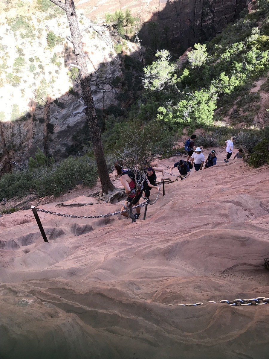
I made it this far.
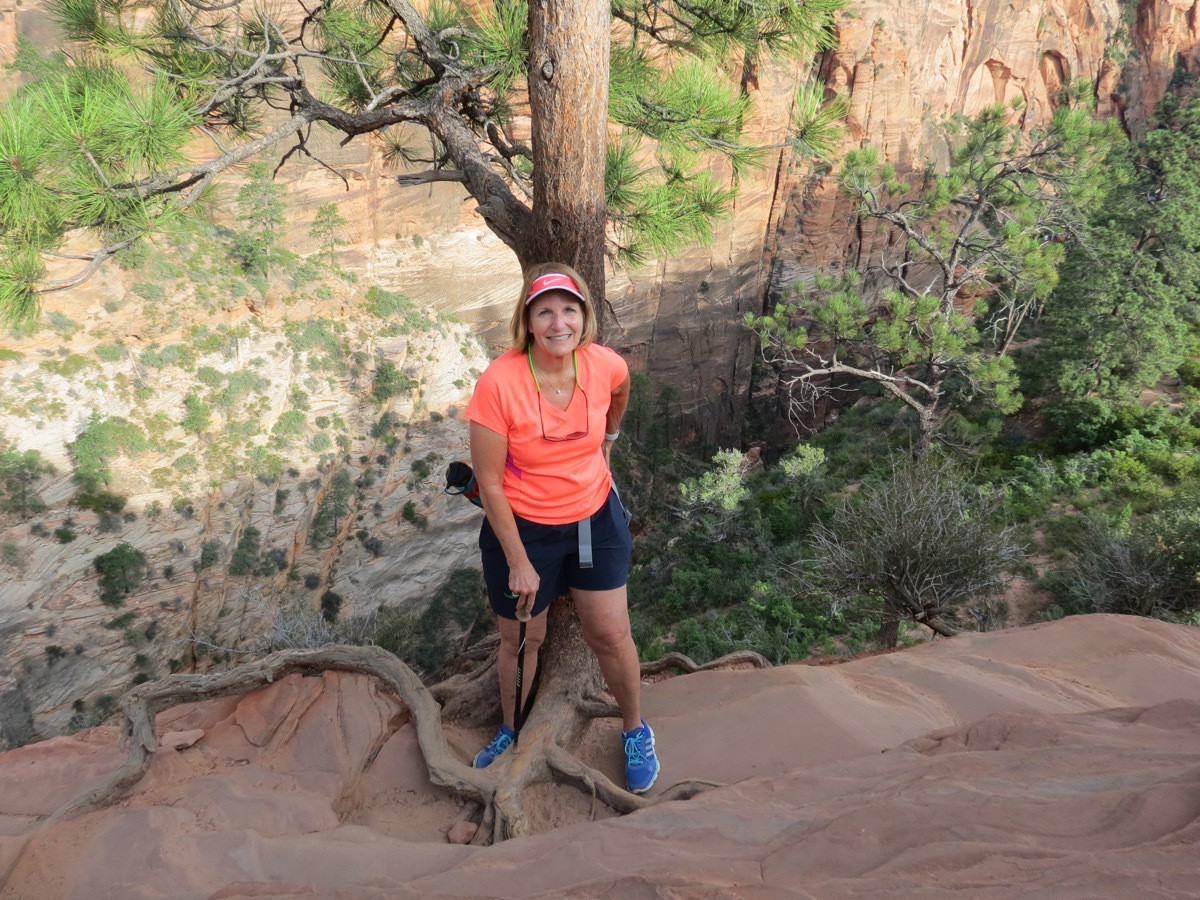
…and here is where my nerves had me stop. Too scared of heights to go any further!
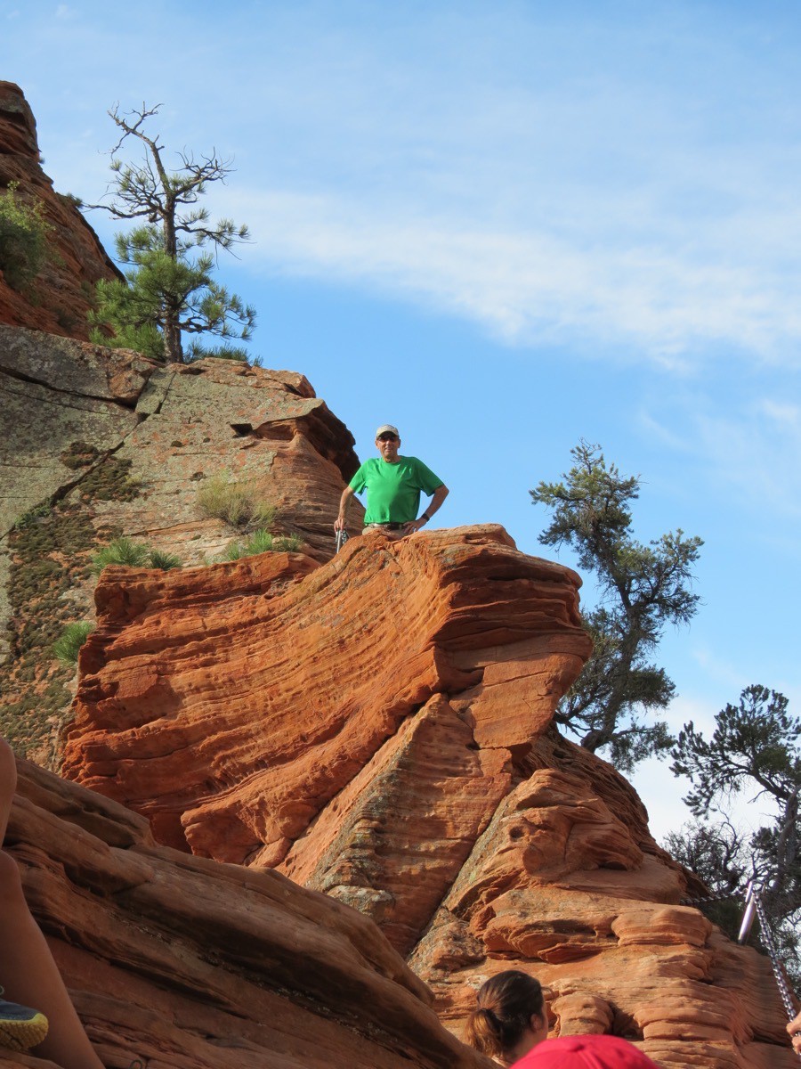
Tom kept going!
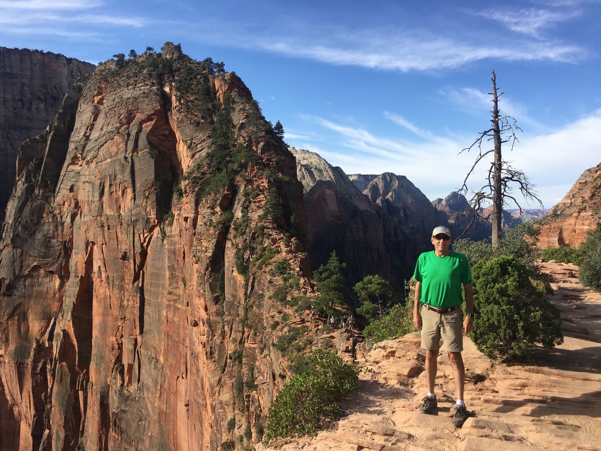
Tom’s final stopping point before that last scary—drop-offs on both sides—ascent.
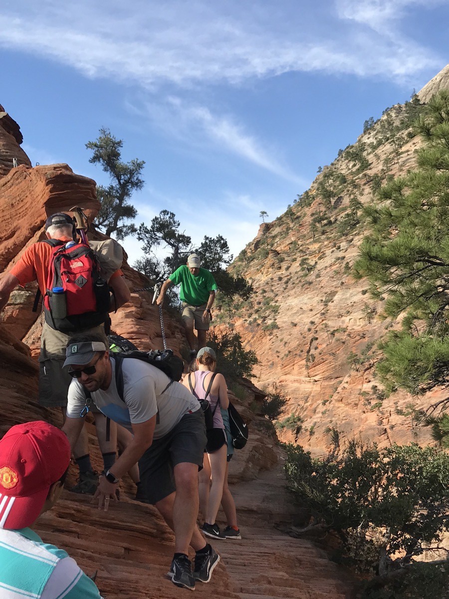
Here he is in the green shirt coming back down.
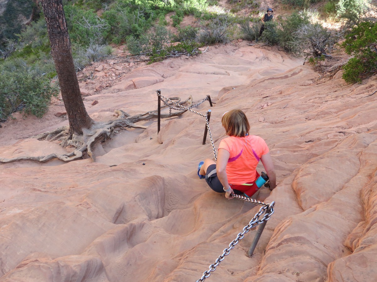 and here I am going back down!
It was an amazing hike and I am so glad we at least attempted it. The views were magnificent and it feels great to have hiked 4.4 miles (and Tom’s 4.86)!
-
Driving through Zion National Park
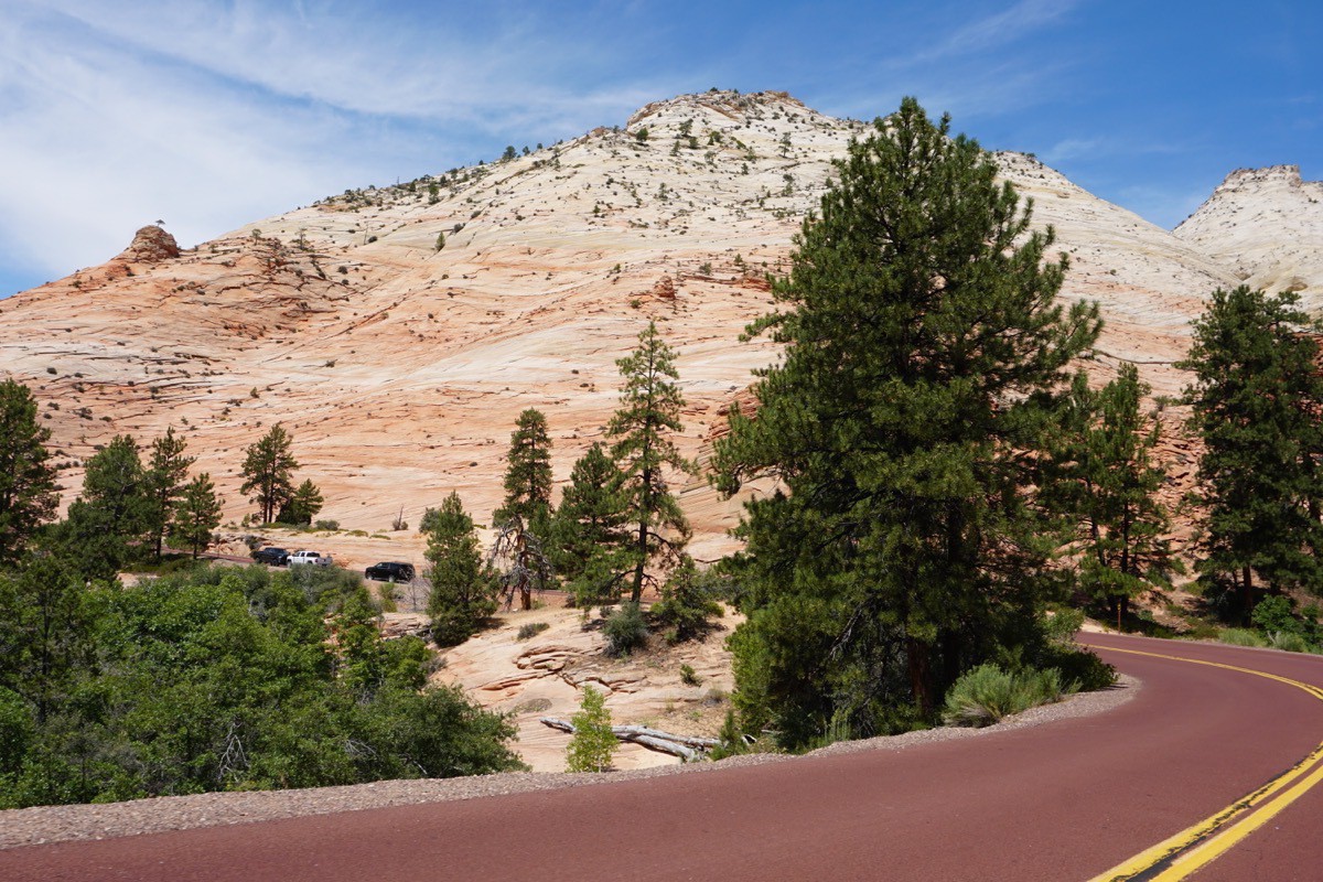
This morning’s drive was an 86 mile drive from Bryce City to Zion National Park along Utah Highway 12 and US 89. We entered Zion National Park on the Zion-Mount Carmel Highway. There is a fee of $35 to drive through the park from that entrance unless you have a National Park Pass, which we have. The drive is truly magnificent!
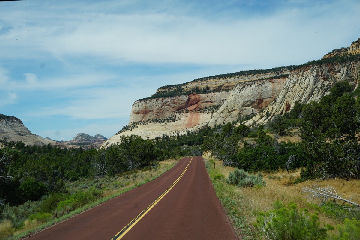
It’s a beautiful drive through the park.
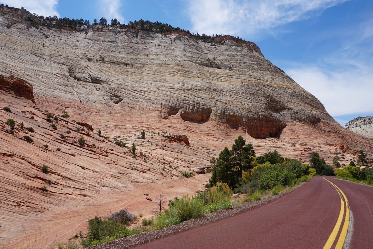
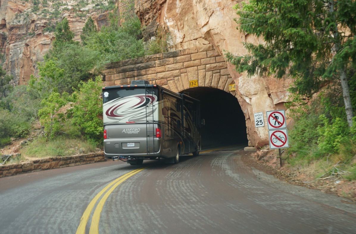
There is a 1.1 mile tunnel on the highway that has a width and height restriction. No vehicle can be higher than 13.2 (our is 12’8” or longer than 40’ for a single vehicle or 50 feet for any vehicle combination). Since our combination is 58 feet, we had to unhitch the car and drive it in separately which was no problem. We also had to pay a $15 “escort fee.” Nobody escorted us, but they held the traffic to one lane so bigger vehicles could drive down the center of the tunnel.
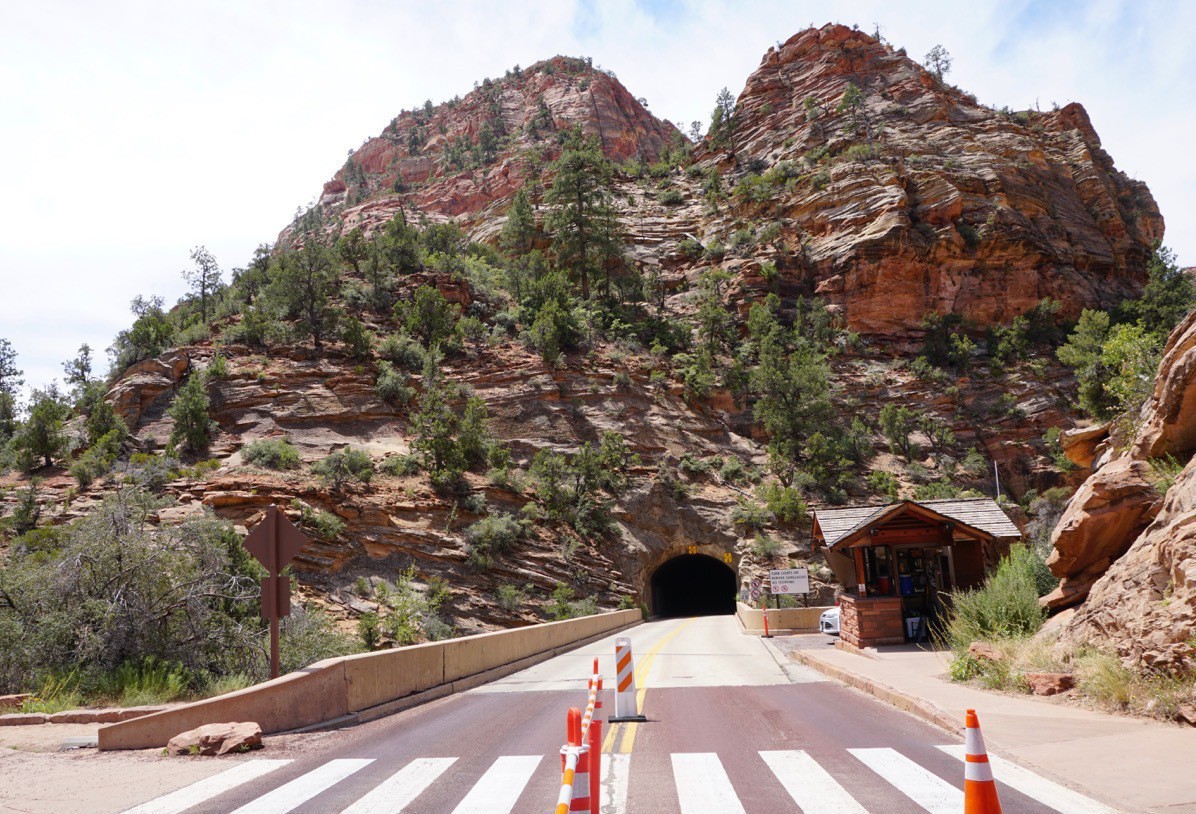
Here’s the tunnel. It’s 1.1 miles long and was built in 1930. Tom was the brave one to drive Big Hat through it and he was sure to stay in the very middle since we only had 5” to spare to spare for the clearance. The sides were only 11’4”, 1 foot 4 inches shorter than Big Hat.
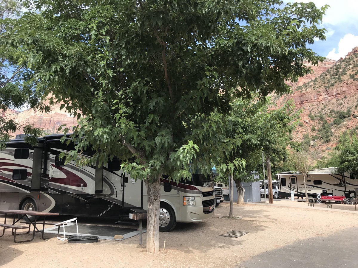
Rental Class C Motorhomes
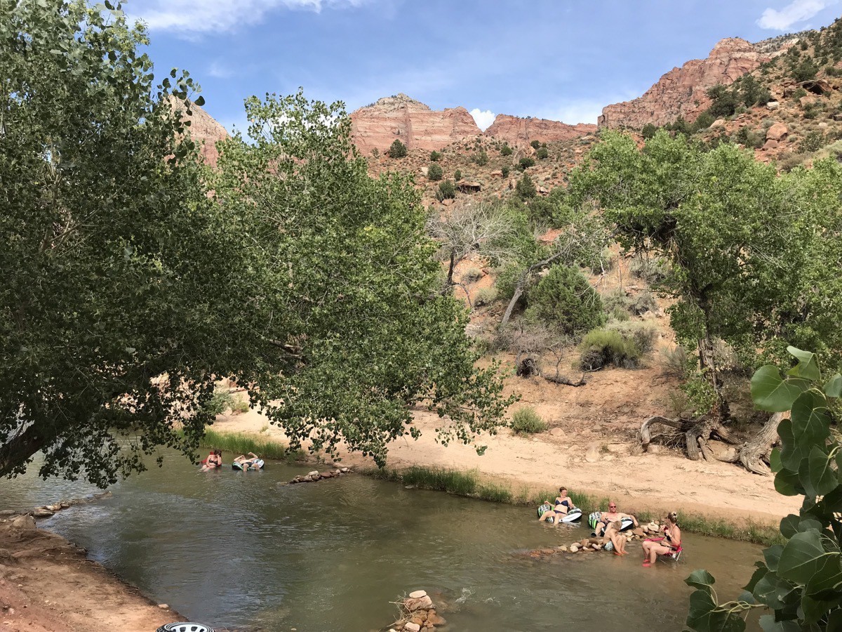
We are staying at Zion Canyons RV Park and Campground. We have a beautiful view of the mountains from our camper. We walked around the campground this evening and counted 63 Class C motorhomes. 55 of them were rentals! That’s amazing to us because before we hit Utah we saw very few rentals.
-
Bryce Canyon National Park (Days 64 & 65)
We drove from Escalante to Bryce Canyon City where we stayied at Ruby’s Inn RV Park and Campground. As we parked Big Hat, we noticed the large number of rental Class C RVs—close to 90% by today’s count. We went to a county music dinner concert at Ebenezers. Both the food and the music were very enjoyable. The hostess went around to each table and ask where people were from. It was like a list of countries in the United Nations. We have never been to anywhere in the US where such a huge percentage of visitors were from other countries!
We walked around most of the RV park last night for exercise and also to count the number of rental RVs and we were amazed! We talked to an Italian family who flew into Los Angeles and renedl one. We met them in Escalante. They are here for three weeks with a big class C RV. He told us he only drives small cars at home and rvs the size of what he rented don’t exist there. So, for him to drive in a new country in a huge vehicle is quite an experience for him.
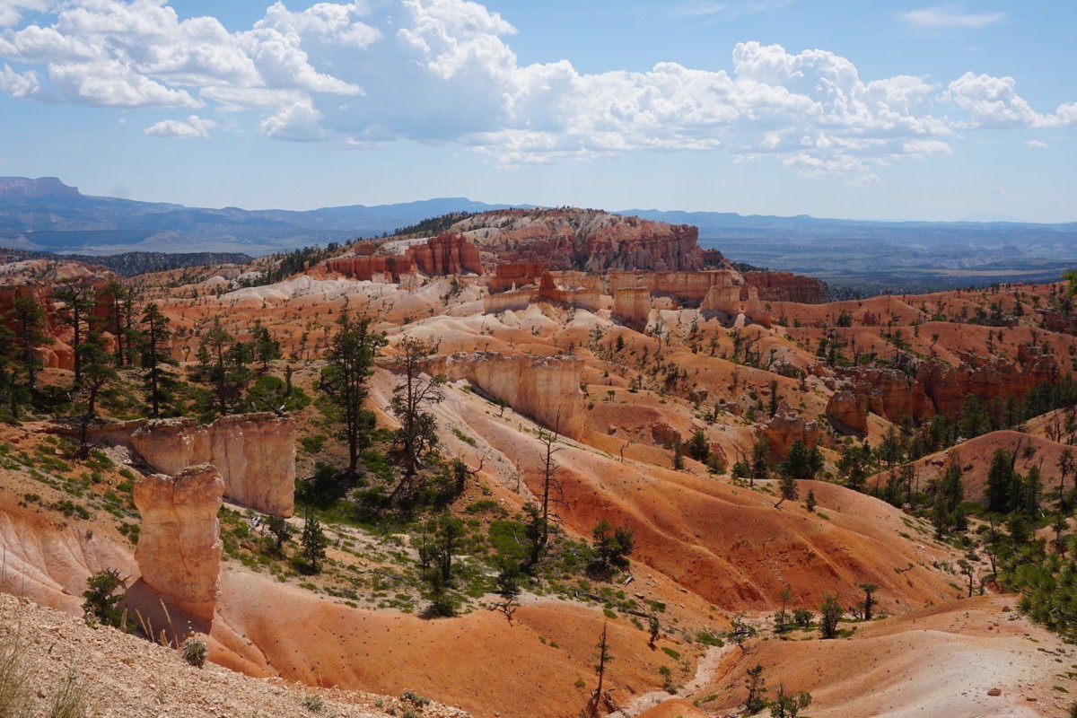
On Friday we got up and caught the park’s shuttle bus into Bryce Canyon National Park and got off at Inspiration Point. From that point we were able to view the full Amphitheater, as the view is called.
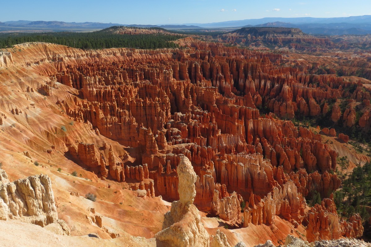
This is the view of the amphitheater.
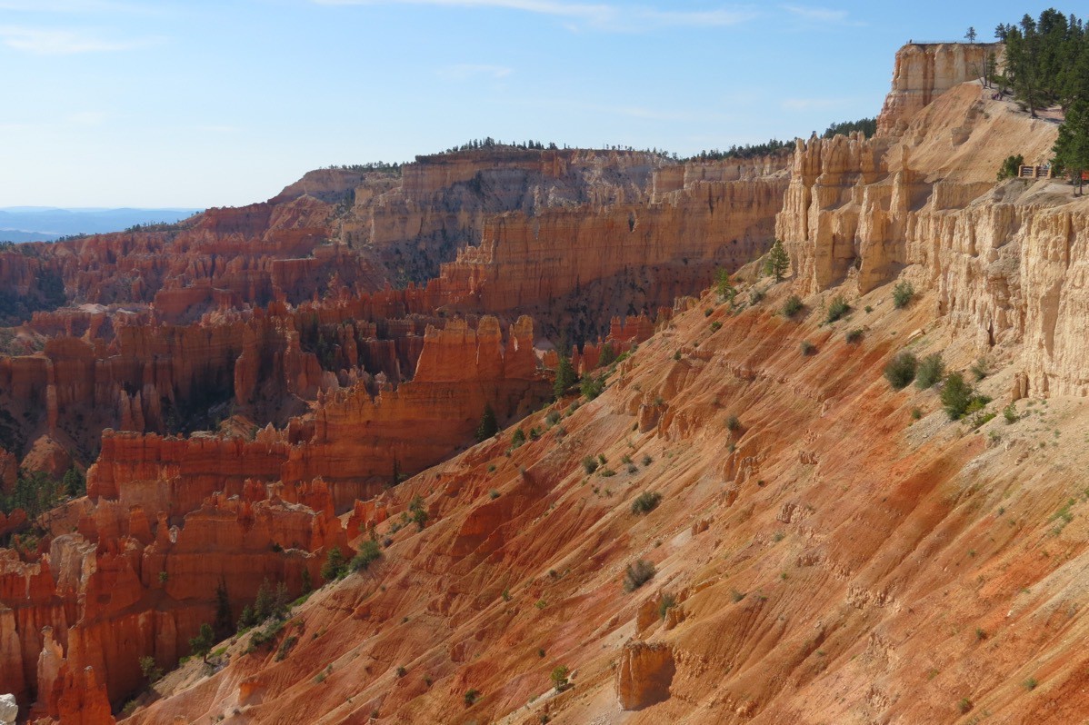
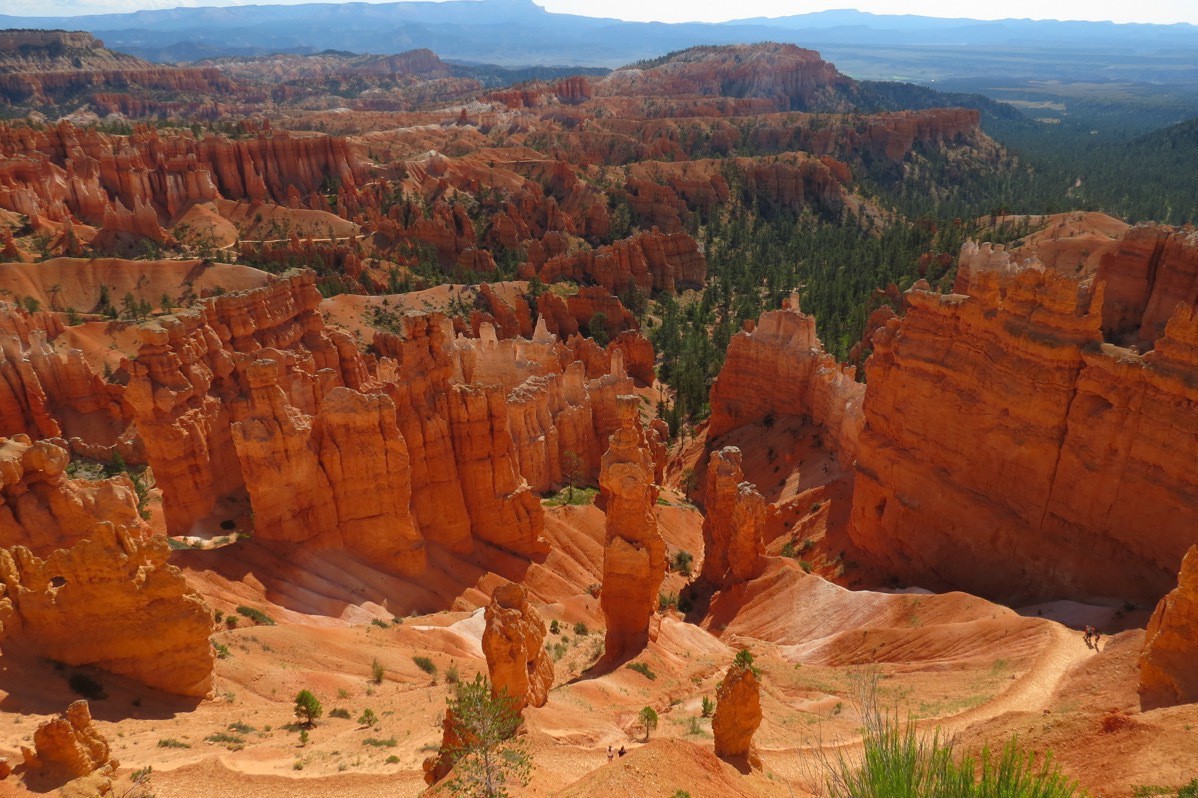
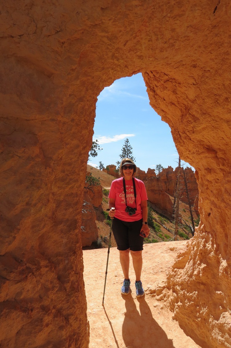
From there we walked the Rim Trail to Sunset Point where we hiked the Navajo Loop Trail and the Queen’s Garden Trail. We ended near Sunrise Point and walked out to the shuttle pick up spot. That hike was 3.6 miles with an elevation gain of 600 feet.
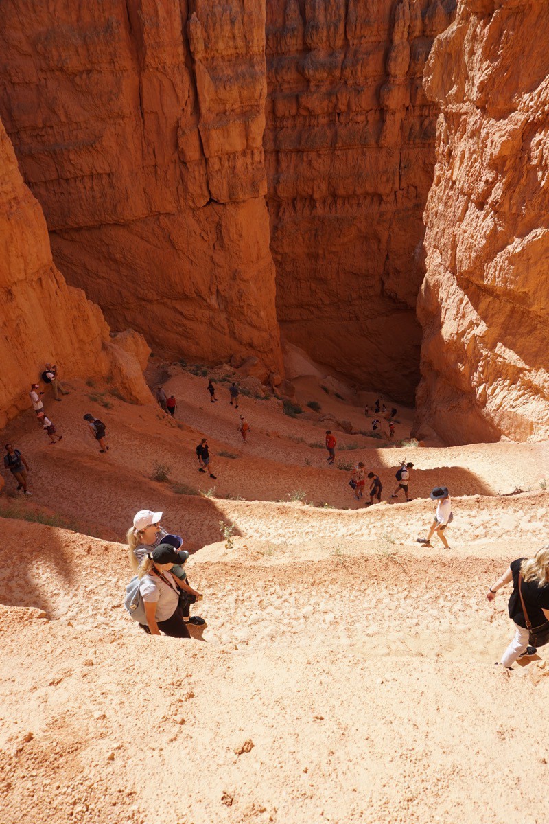
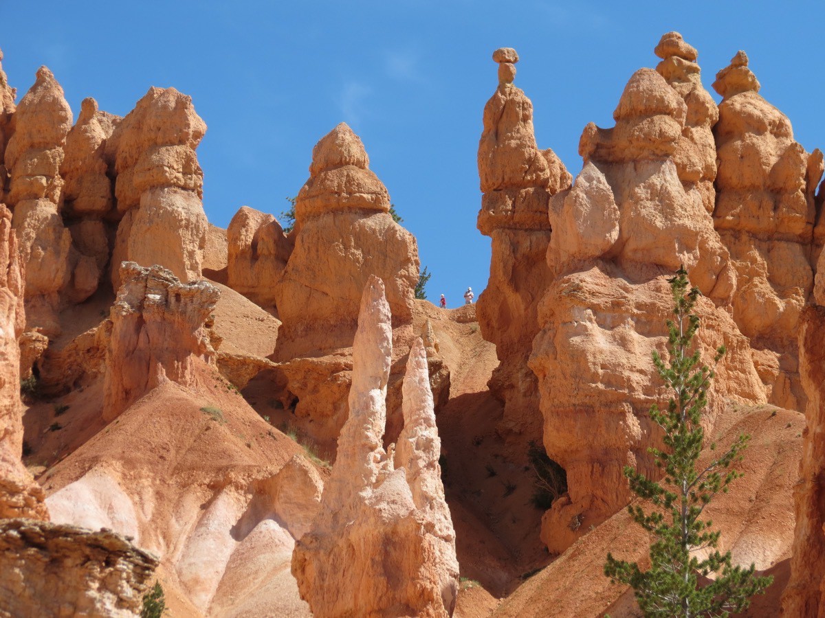
Look at all the people walking the switchback Navaho Loop trail down to the bottom of the canyon. There are at least 10 switchbacks going down in this picture.
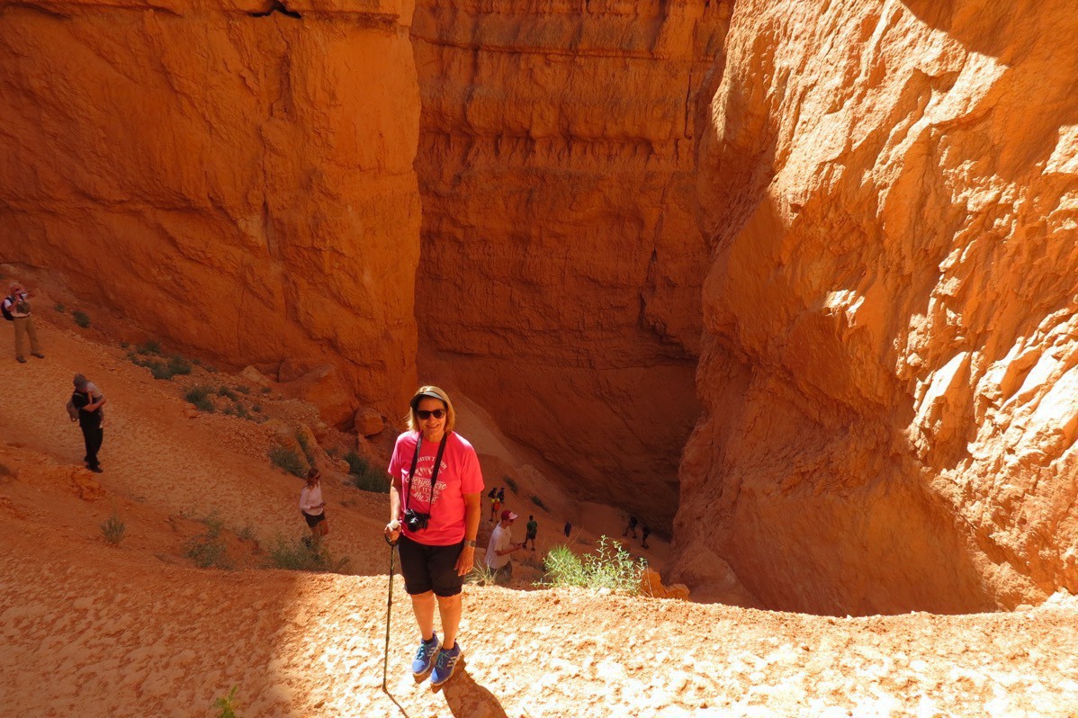
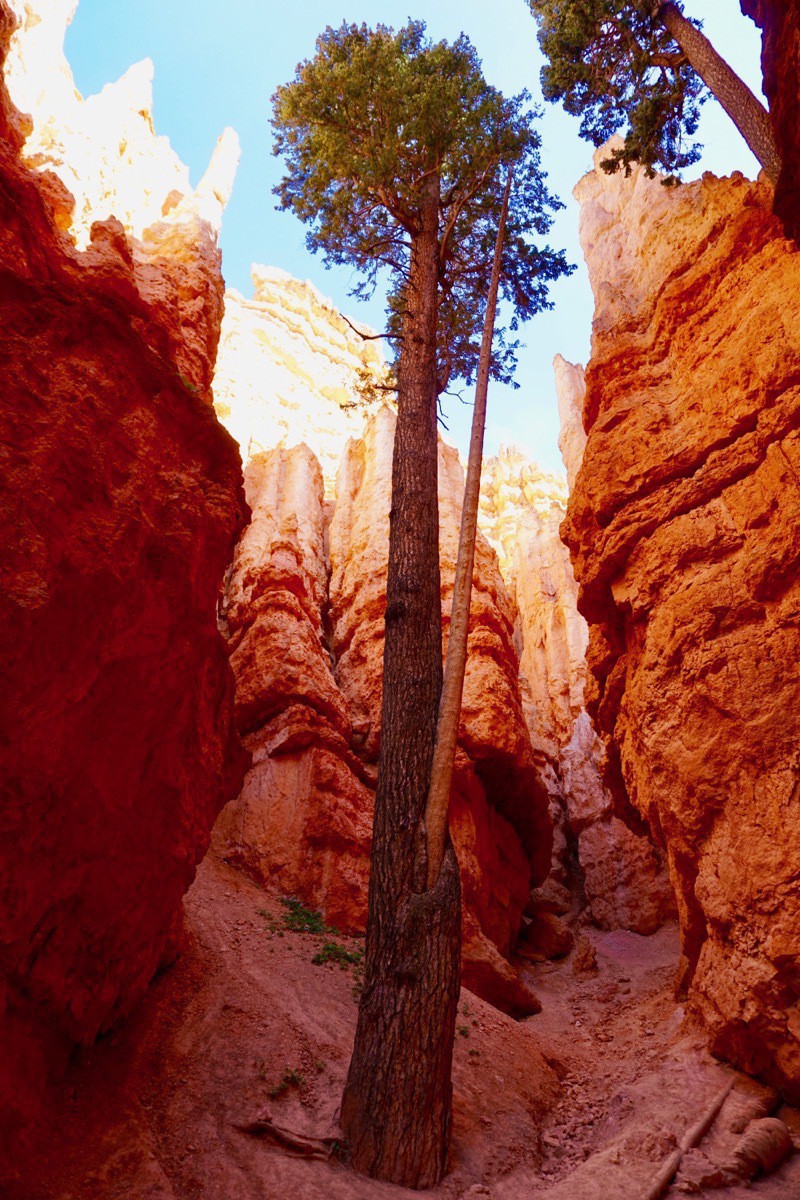
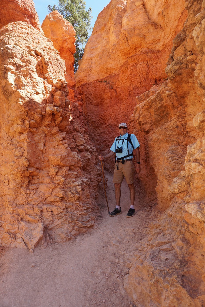
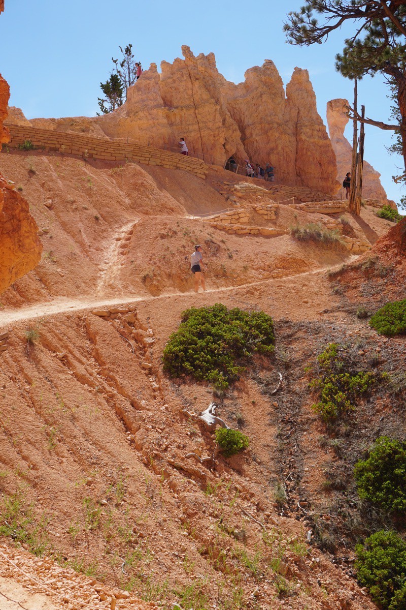 The trail back out of the canyon floor.
In the evening we drove the entire length of the main park road which is 18 miles. The road ends at the park’s highest elevation of 9,115at Rainbow and Yovimpa Points. We walked the Bristlecone Trail while we were there.
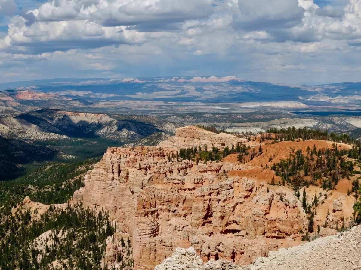 View from Rainbow Point.
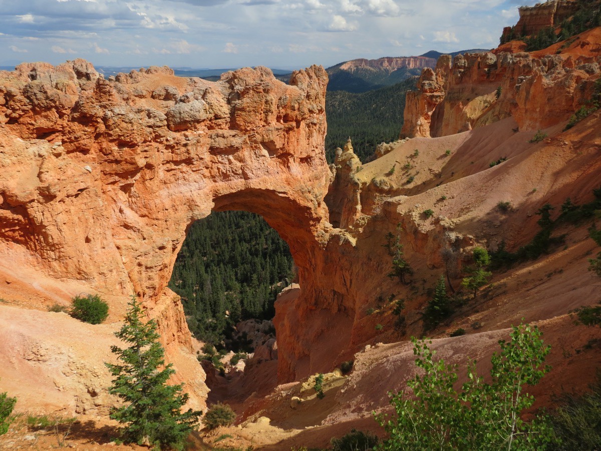 Natural Bridge
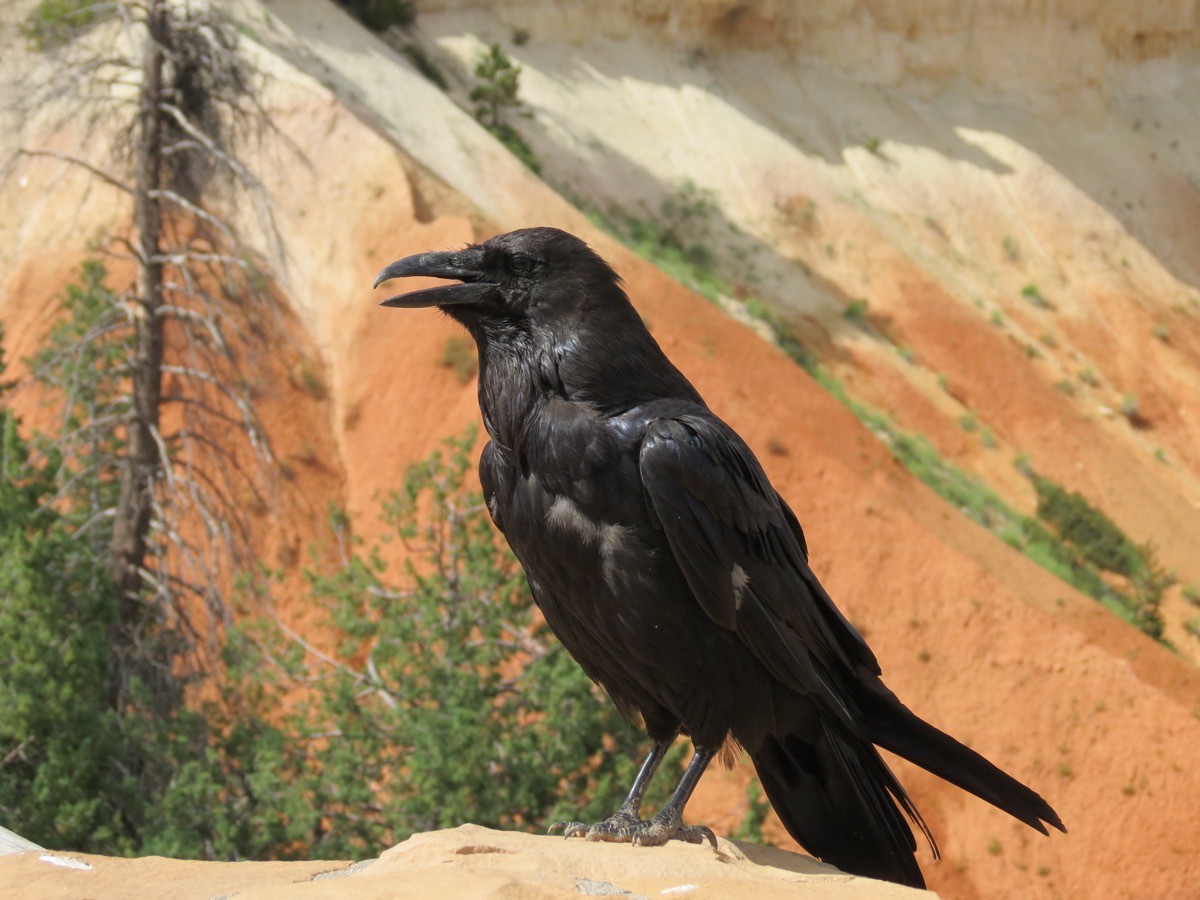
It was another great day!
-
Grand Staircase Escalante National Monument - Hike Though the Slot Canyons (Day 63)
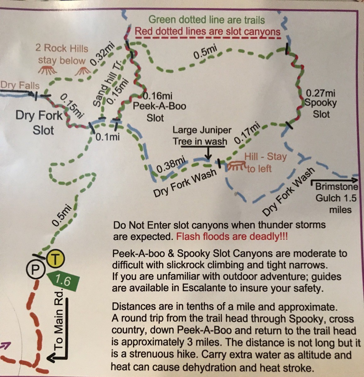
We had the most amazing day today in Escalante National Monument! We hired a guide James Dome who drove us 26.5 miles down the Hole in the Rock dirt road to hike in the Peekaboo, Spooky and Dry Fork Slot Canyons. A high 4 wheel drive vehicle is necessary to drive the very end of this road near the parking lot for the slots, but I can’t imagine hiking these three slot canyons without the expertise of our knowledgable guide!
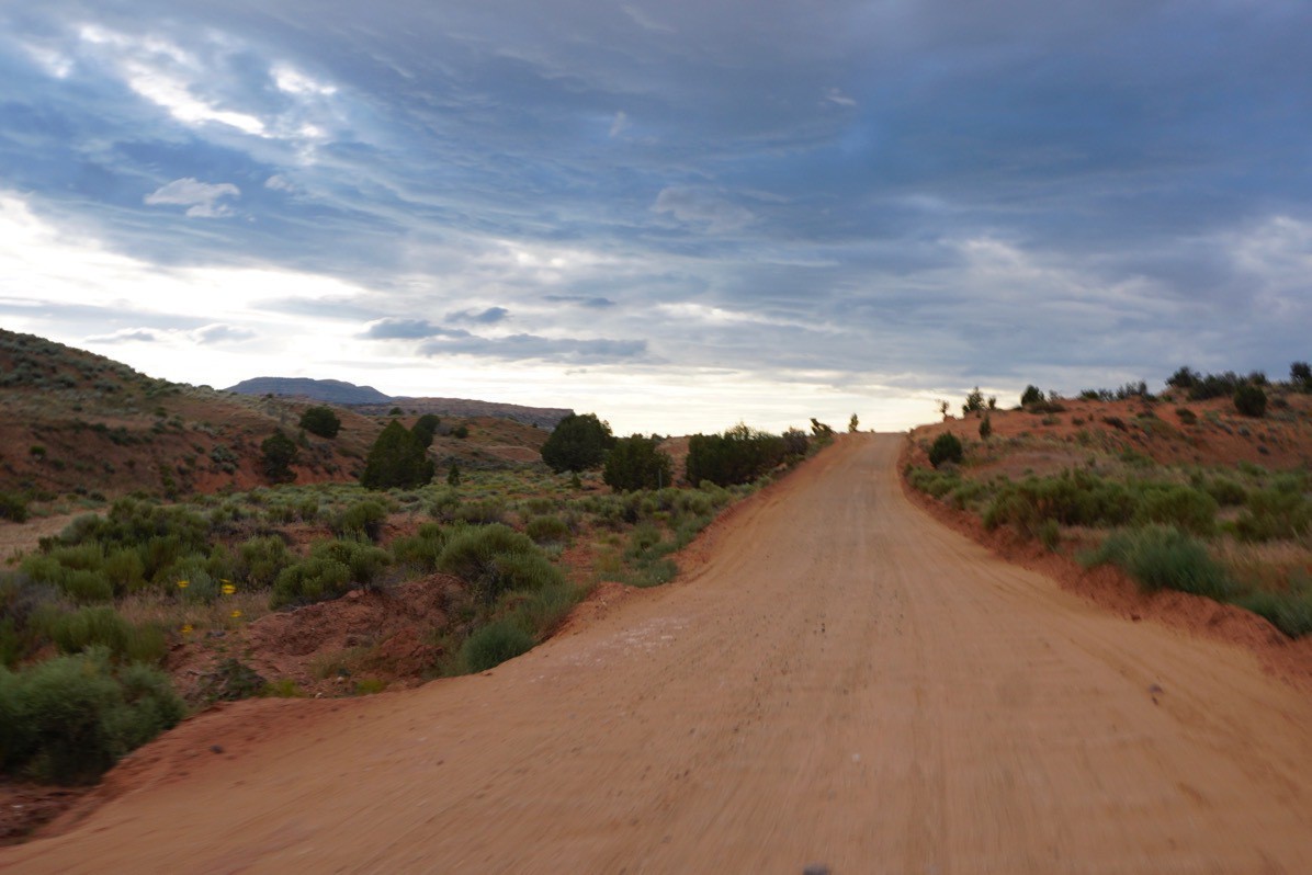
Hole in the Rock Road
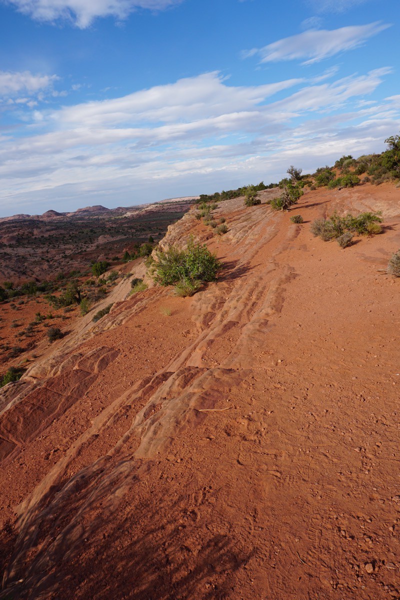
The first part of the hike was down a steep rock face that James called The Quilt. We walked across it for a while before we started to descend.
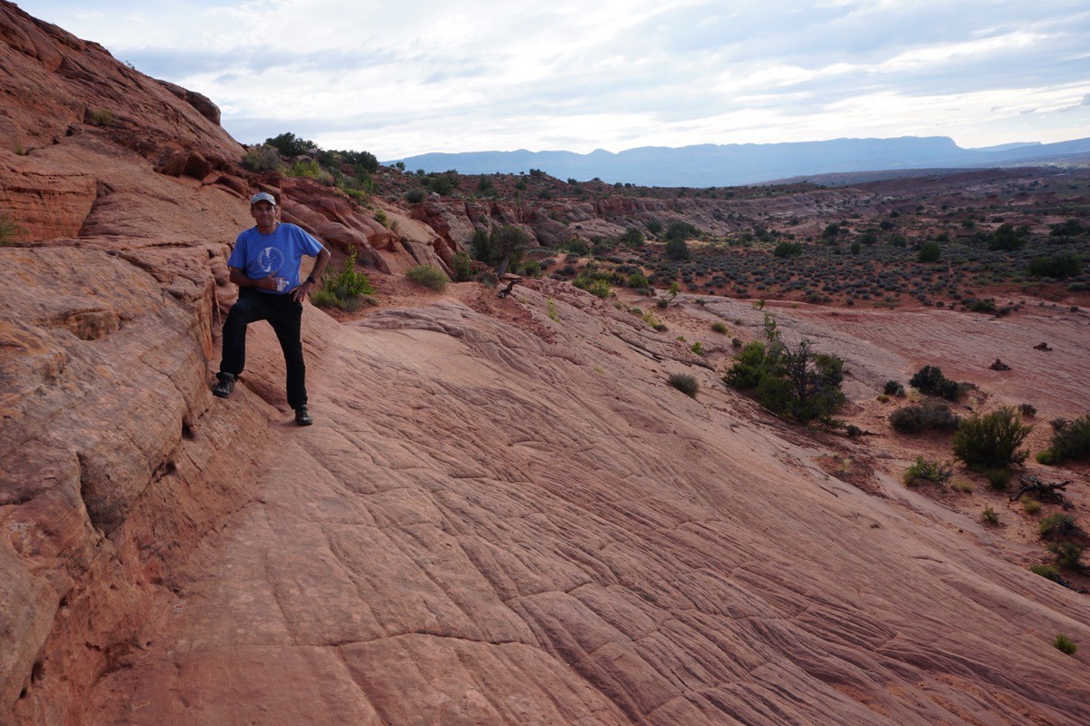
Heights are not my best friend so I tried not to look down and instead just watched my feet.
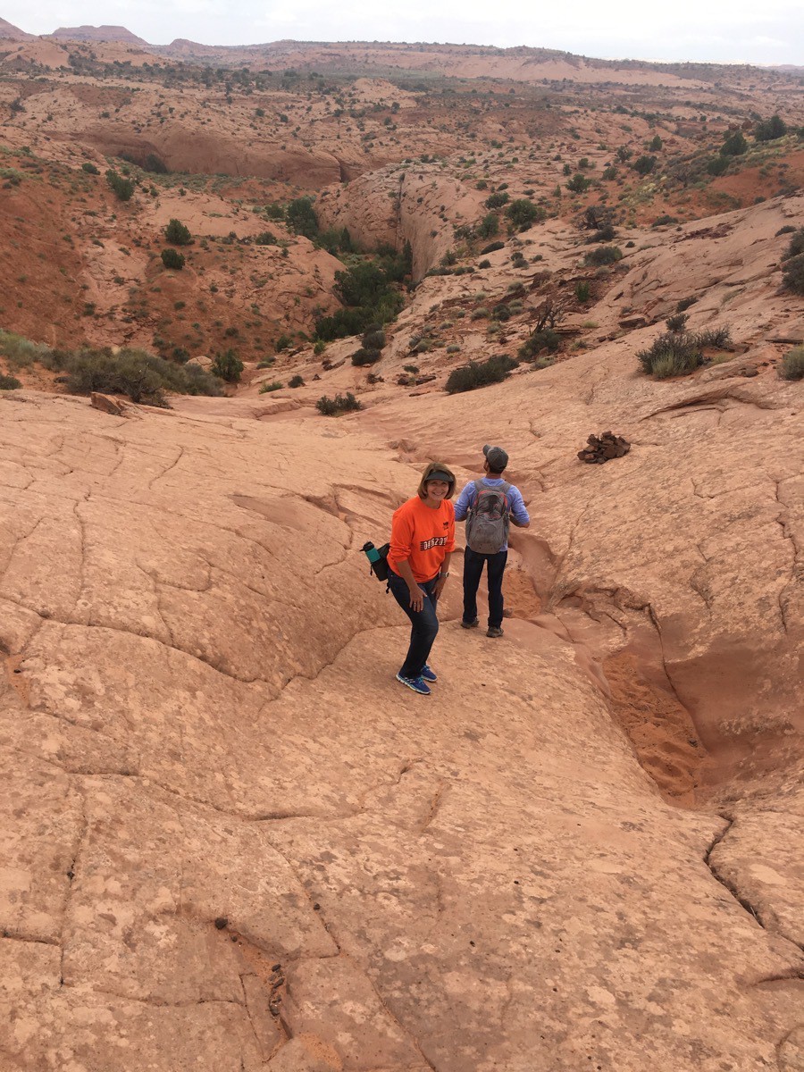 Going down, down, down.
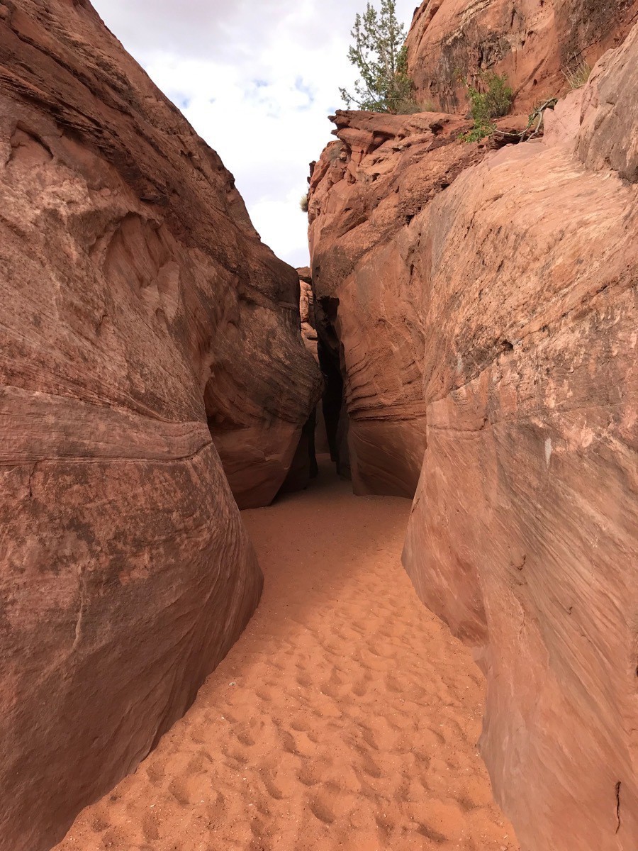
The first slot we hiked and squeezed through was Peek A Boo. It was about a 10’ climb to get into the slot and our guide and Tom handled that climb with ease. James threw a rope down for me to hold onto so I could climb up. I definitely didn’t find it as easy as those two!
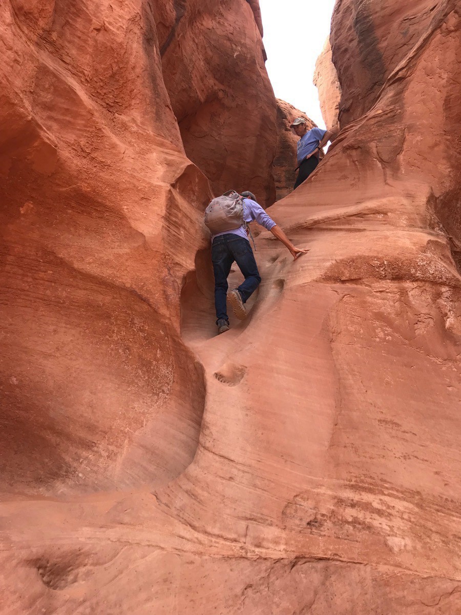
Here, we had to straddle the rock to get over to the other side.
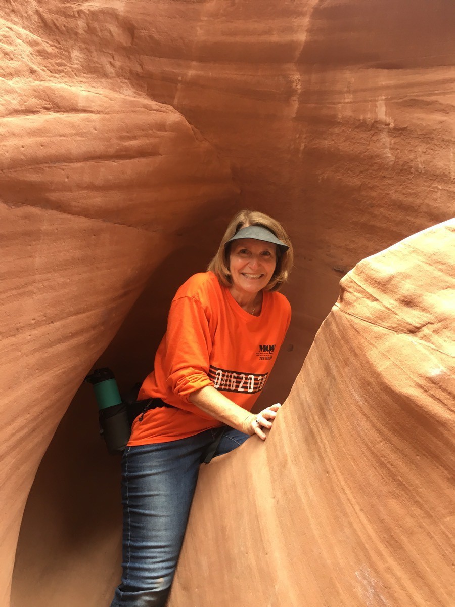
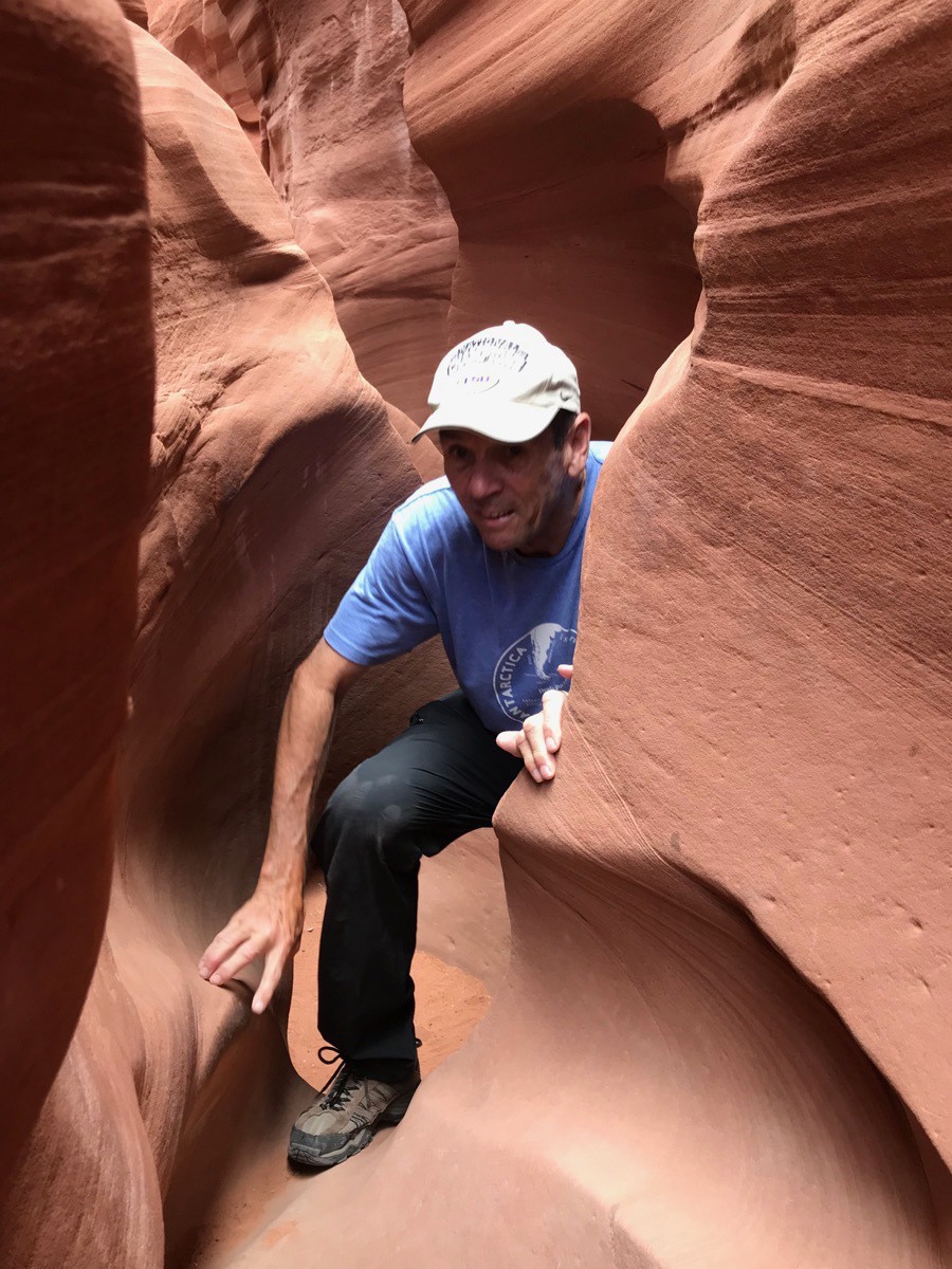
Absolutely amazing beauty!
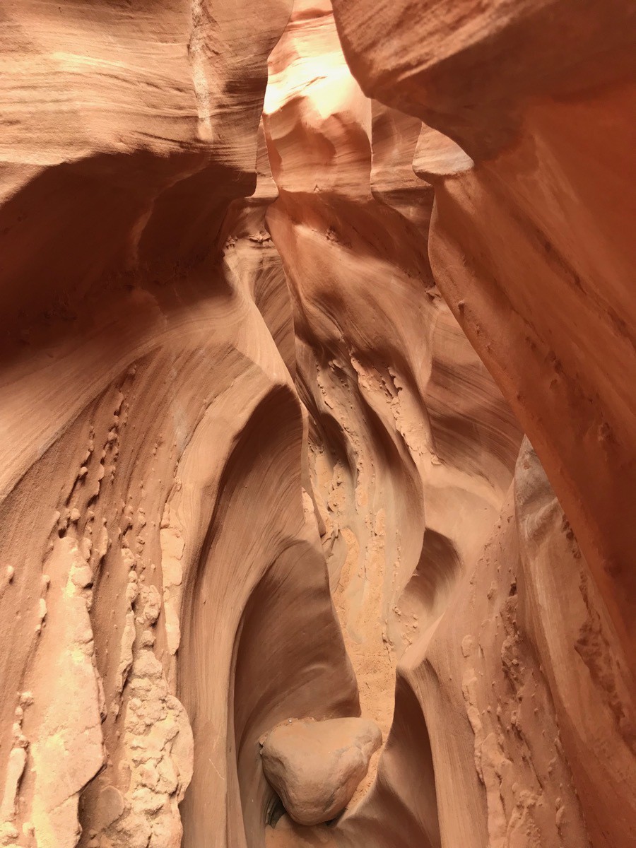
Here we are coming out of Peek A Boo. Next we walked .5 miles before entering Spooky.
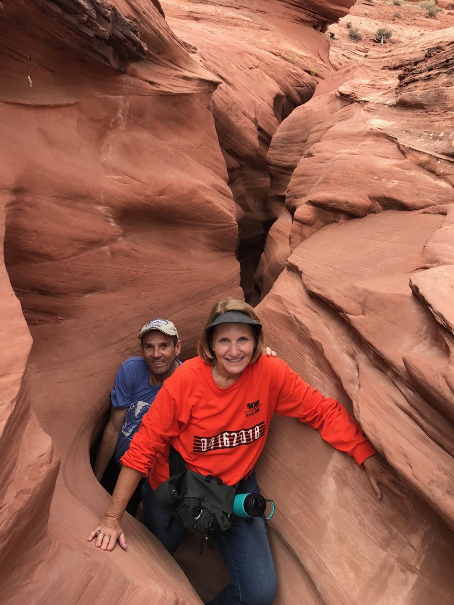
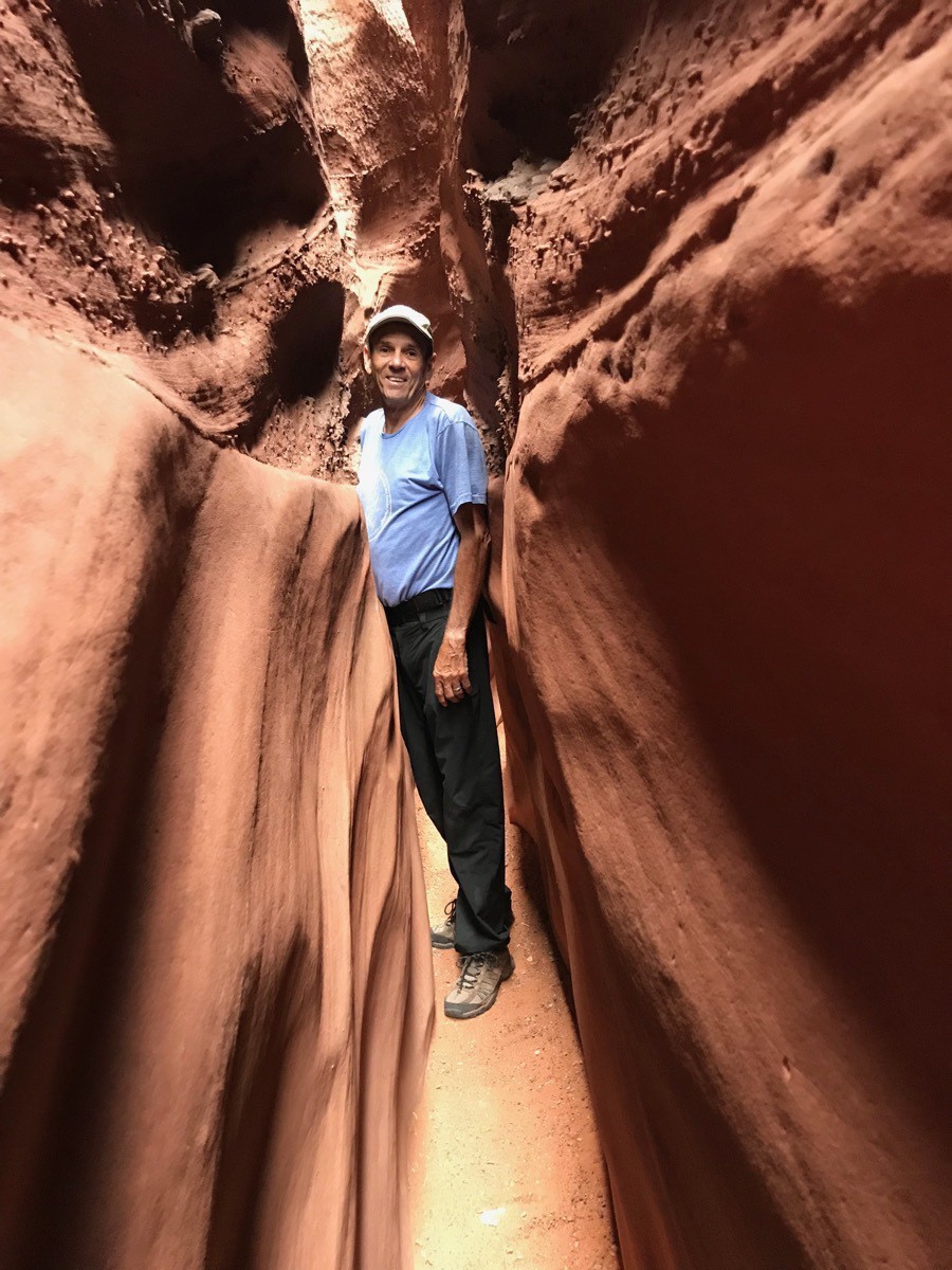
We had to drop down about ten feet to get into the Spooky Slot Canyon.
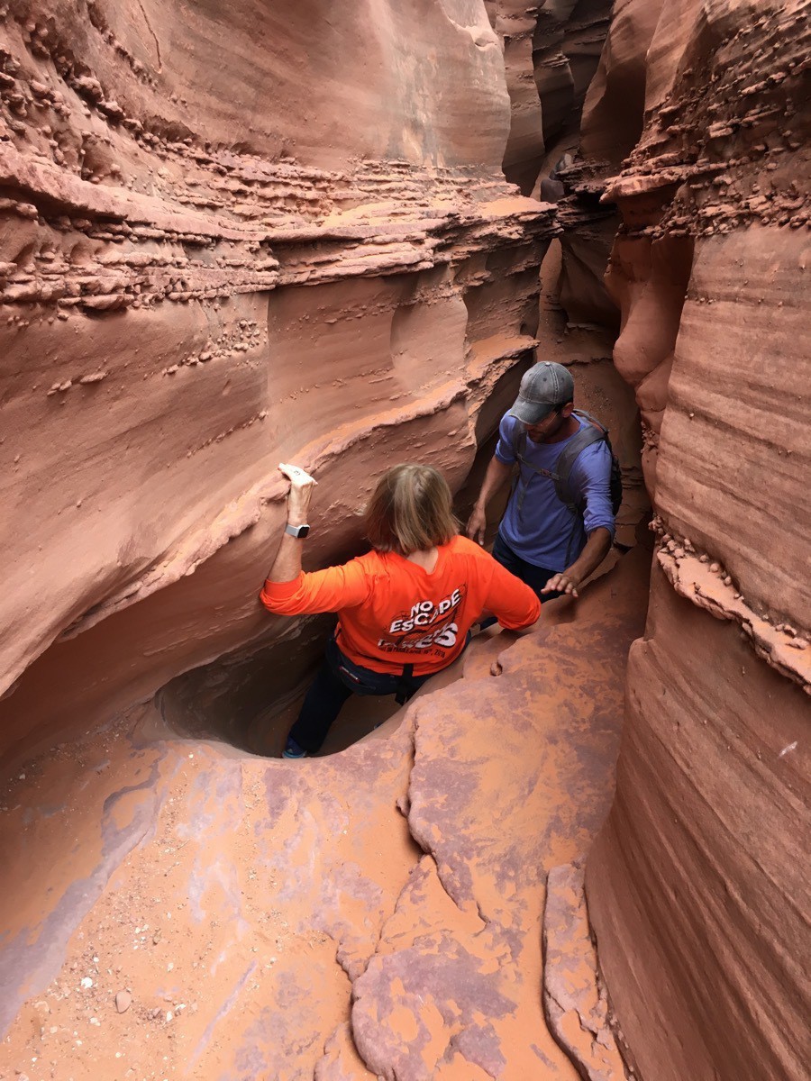
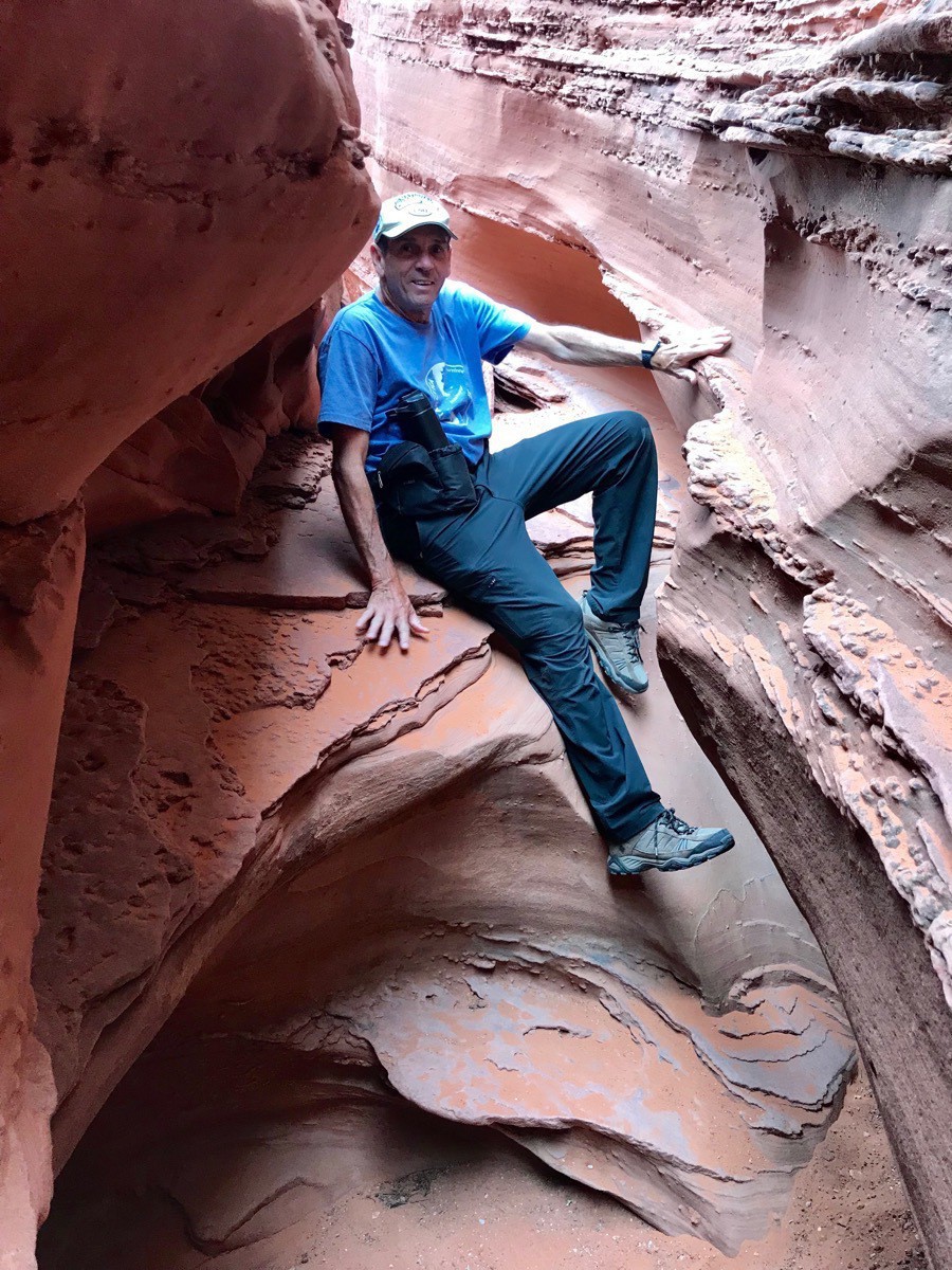
Lots of small places to climb around to get through the slot.
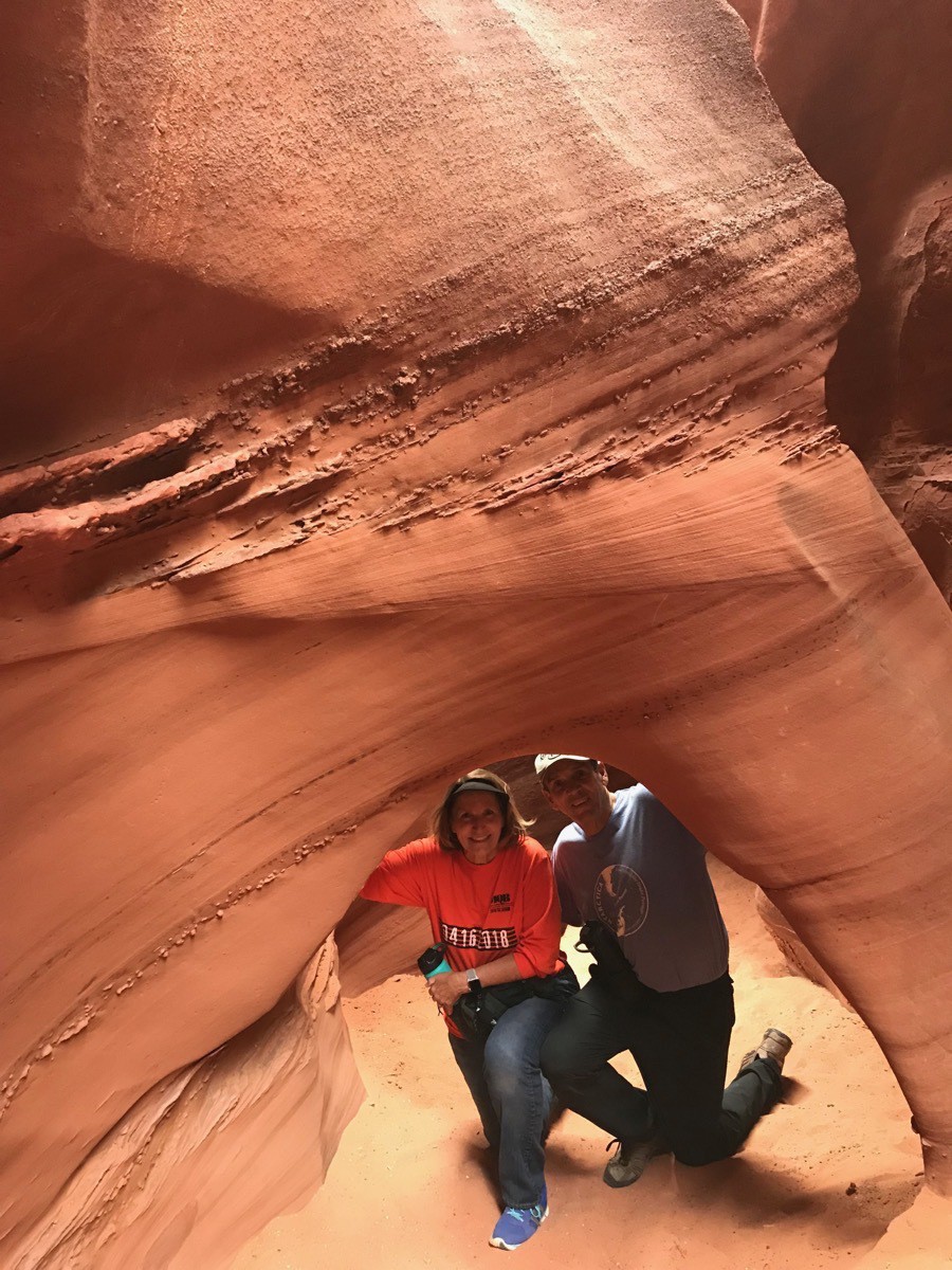
There is even a small arch inside the slot.
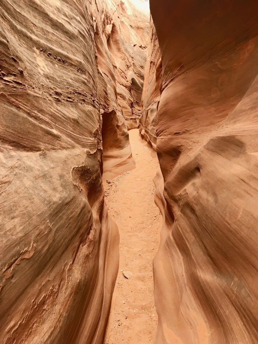
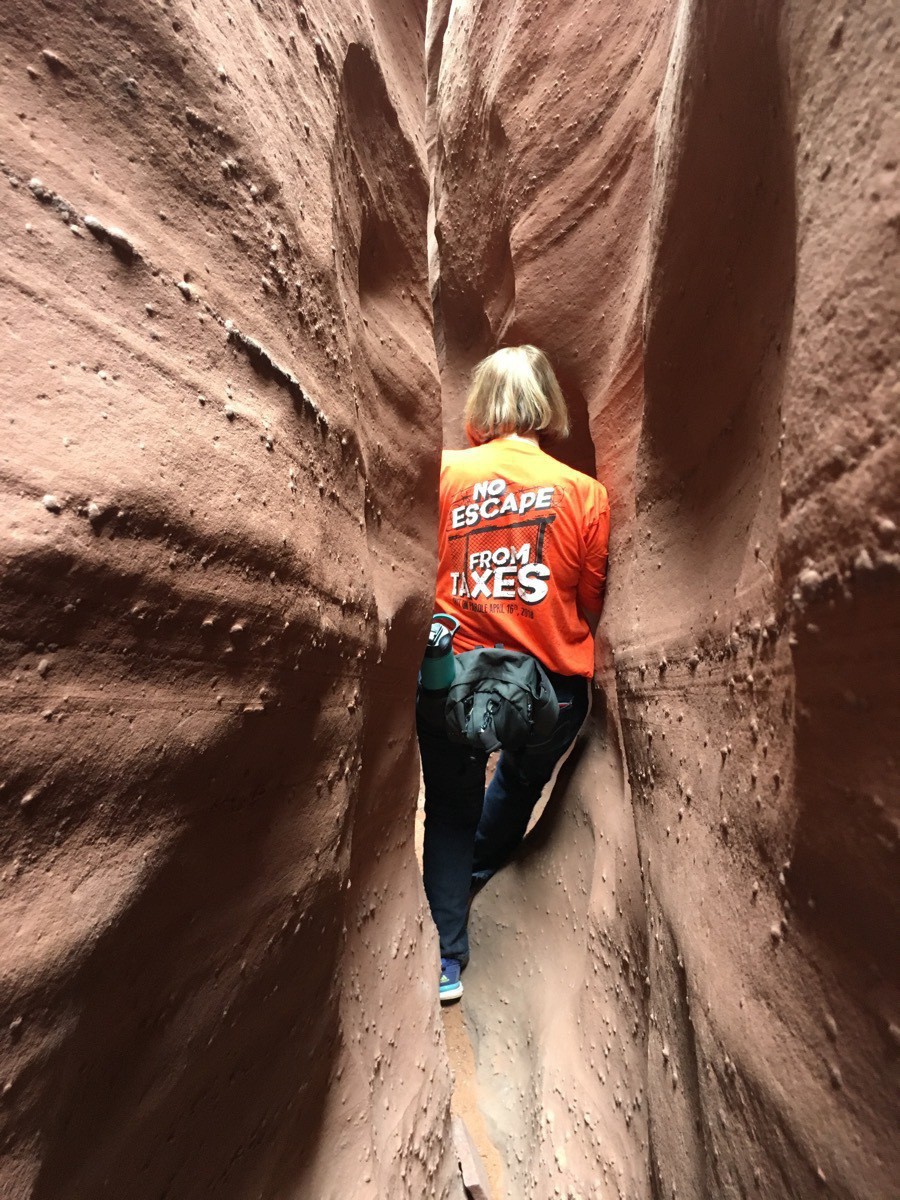
There’s not much extra space to m maneuver in some places. It was so narrow we had to walk sideways through much of the slot.
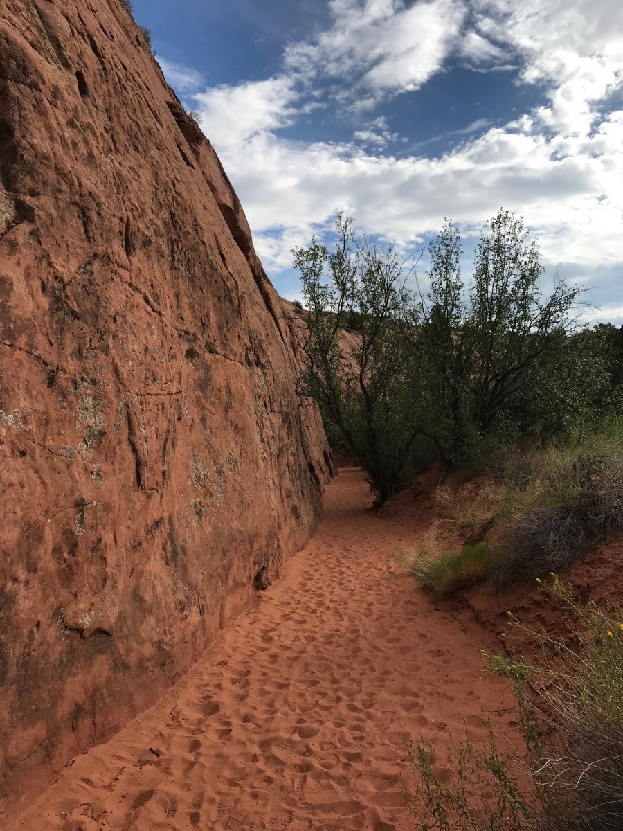
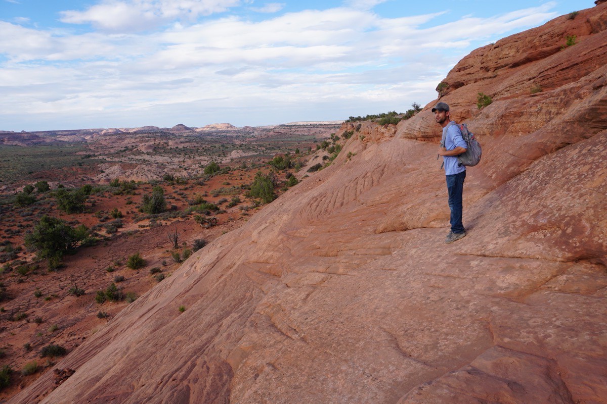
At the end our walk back out of the canyon and up the steep rock face to get back to the parking lot.
-
Scenic Byway 12 - Torrey to Escalante, Utah (Day 62)
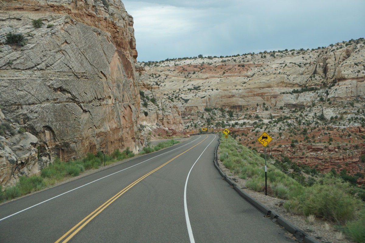
Today we drove the beautiful Scenic Byway 12 from Torrey to Escalante through Grand Staircase Escalante National Monument. It was a 65 mile drive on a sometimes SCARY road, but the scenery was magnificent. We traveled over two highway grades of 14% and some of the road had shear drop-offs with no guard rails on both sides at one time (I didn’t take any pictures of that because I wasn’t looking). Tom did an excellent job of driving our 36’ Big Hat (our motorhome) that was pulling the Honda CRV with our bicycles on the back rack with a combined length of 58’.
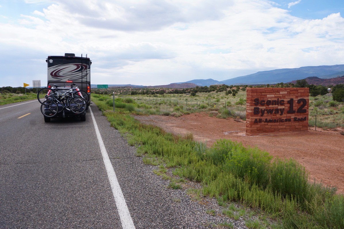
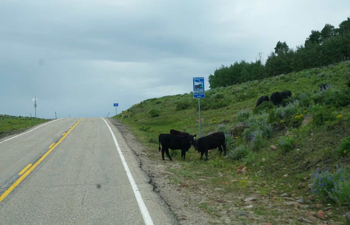
There were also cows grazing on the side of the road because it was open range.
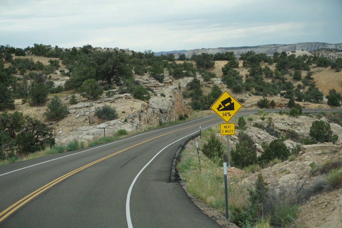
See that 14% grade sign???
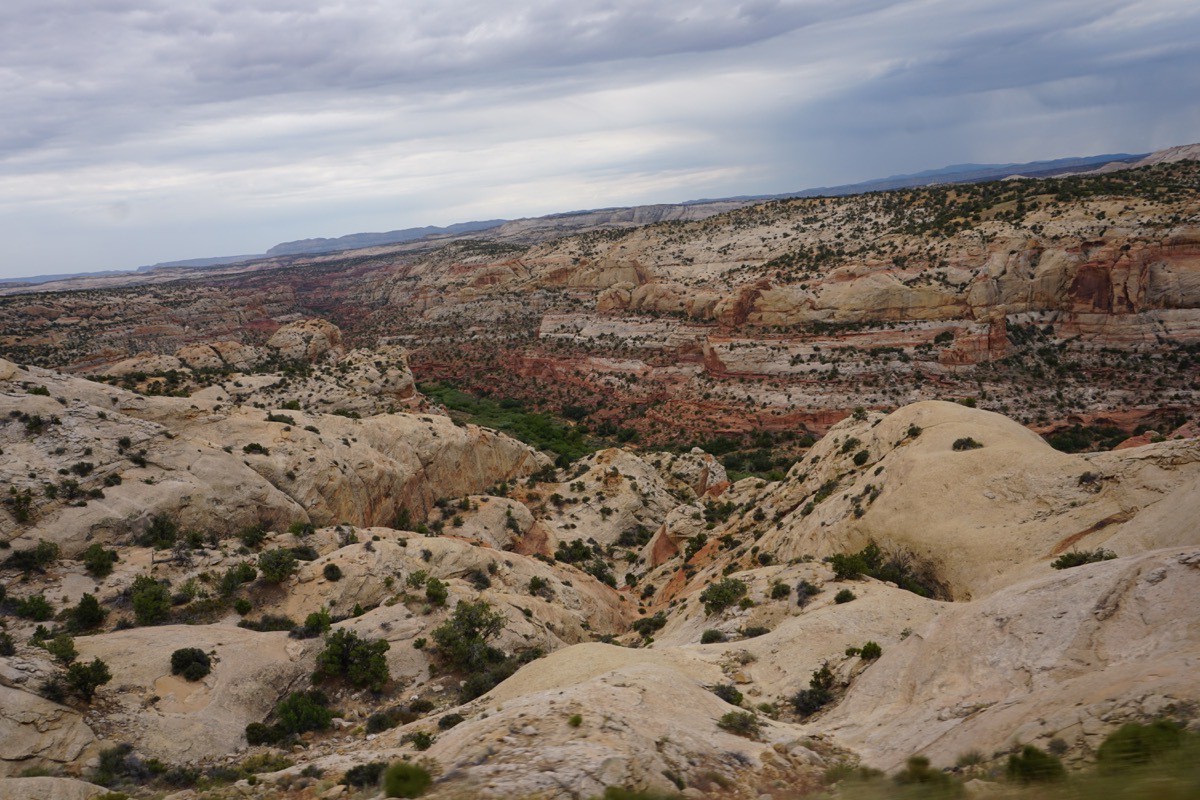
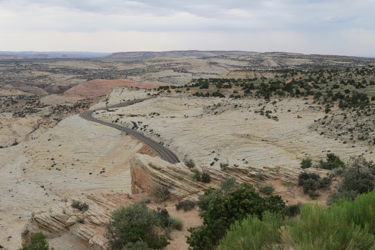
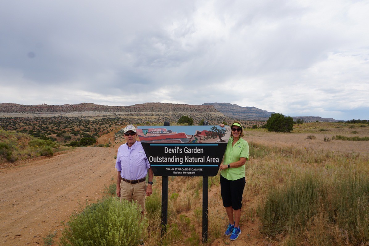
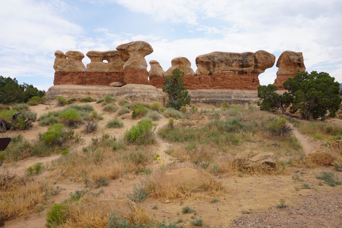
Devil’s Garden in Grand Staircase National Monument
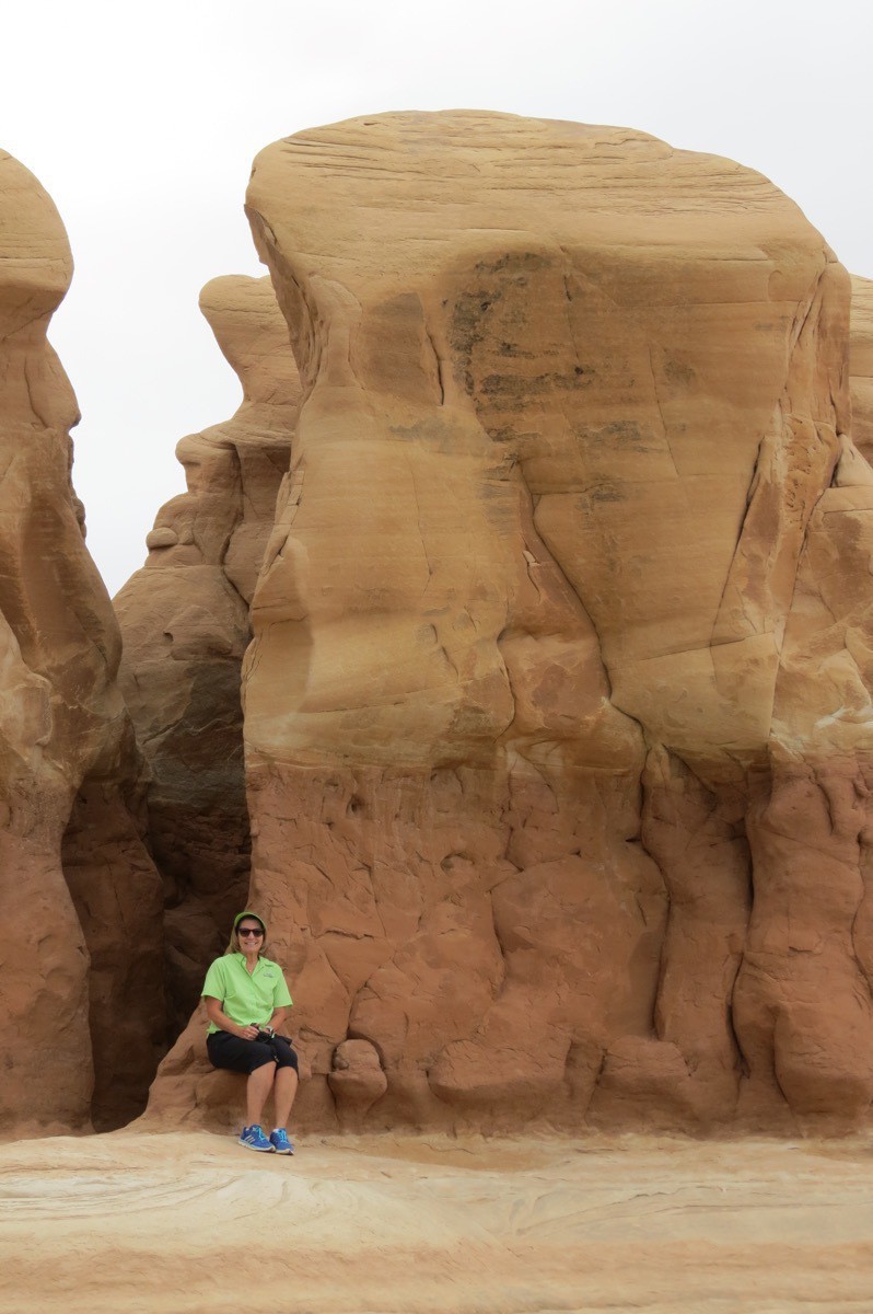
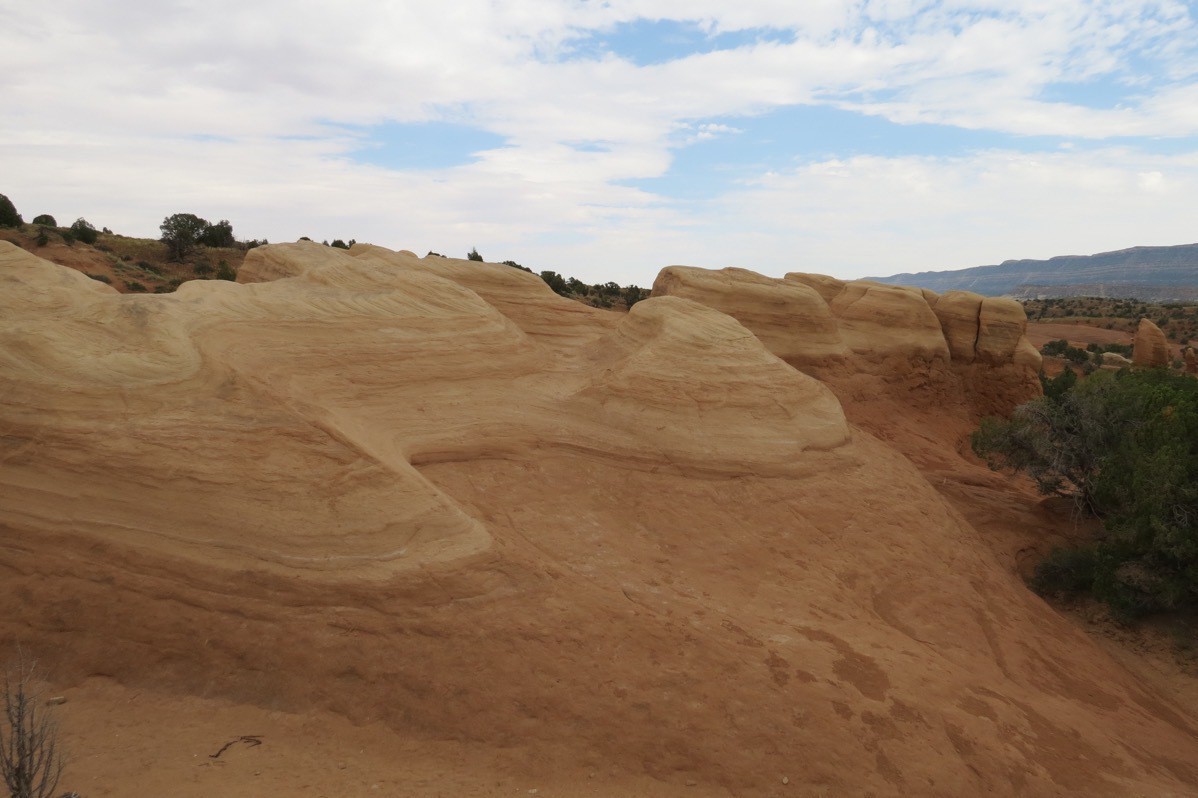
After we set up Big Hat in the Canyons of Escalante RV Park, we drove to Devil’s Garden, an area featuring hoodoos, natural arches and other sandstone formations.
-
Capital Reef National Park Day 3
This morning we drove back into the park from our campground in Torrey, UT. Our first destination was the hike to Hickman Bridge, a 133 foot natural bridge. Along the way there were beautiful views of the canyon below.
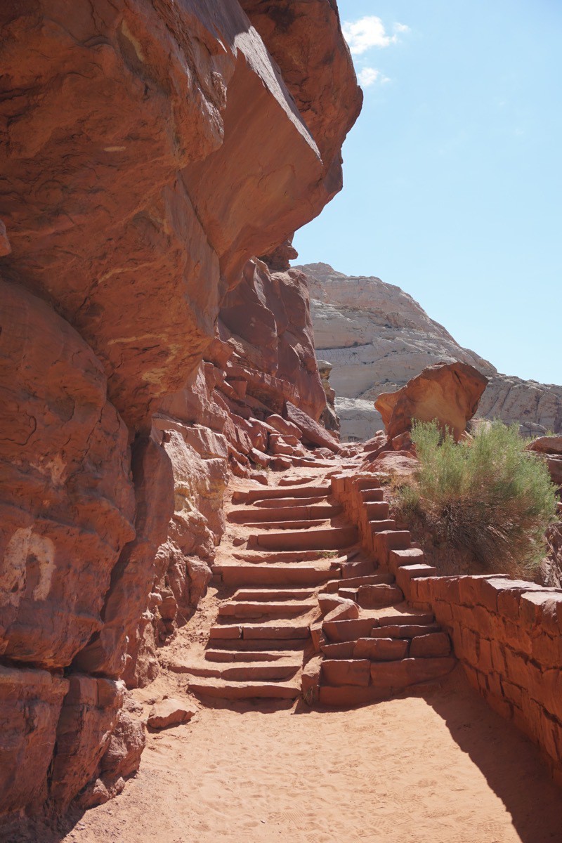
The trail starts here. The trail is 1.8 miles long and has an elevation gain of 400 feet.
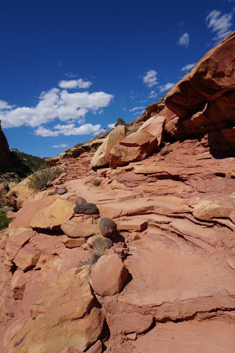
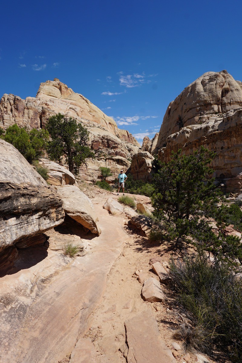
The trail keeps going up, up, up!
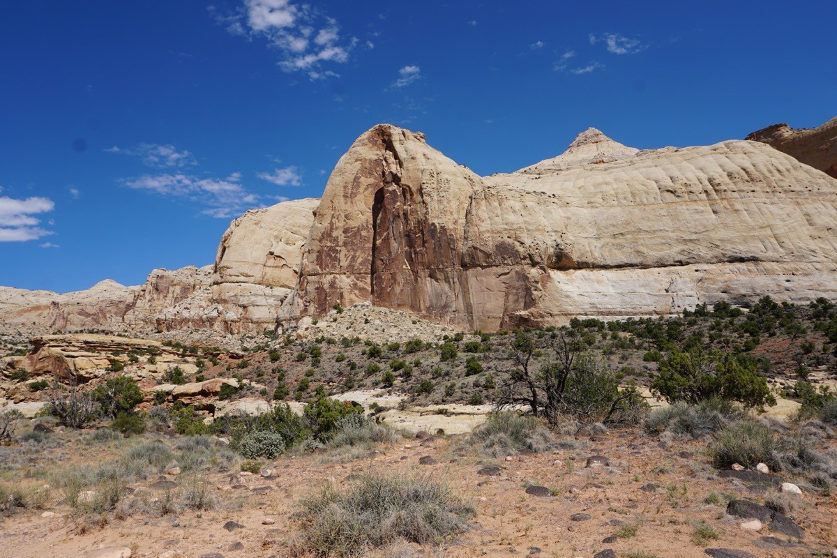
Another giant rock formation along the way.
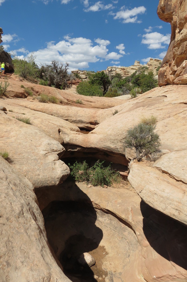
The scenery keeps changing as we continue to climb upward.
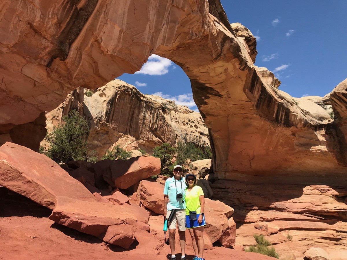
We made it!
-
Capital Reef National Park Day 2
We arrived in Capital Reef National Park on Saturday afternoon and were absolutely amazed at the beautiful scenery we saw as we drove the park to get to our campground in Torrey, UT.
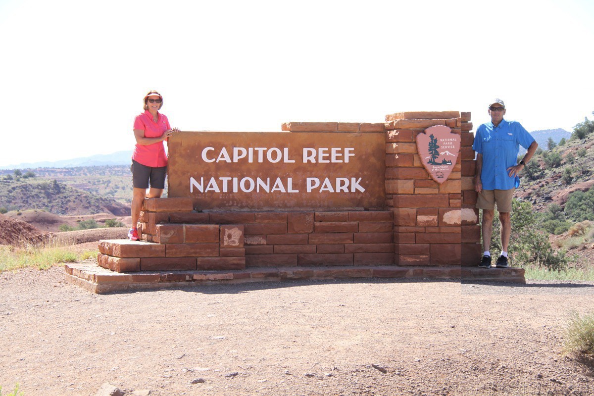
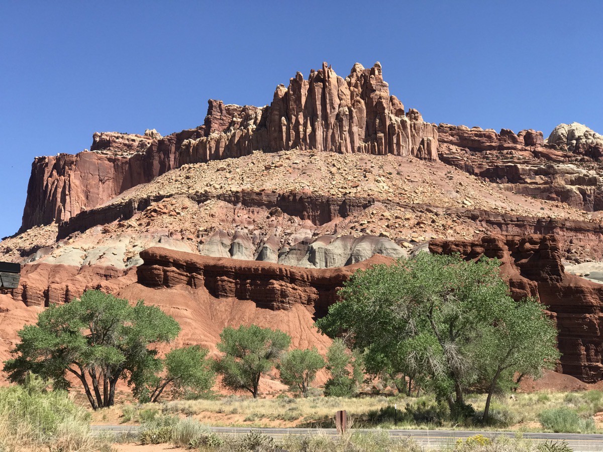
We drove back into the park on Saturday morning to hike a few trails. Our first stop was at the Panorama Point Overlook and then we drove the unpaved dirt road to the Sunset Point Trail to see the Goosenecks Overlook.
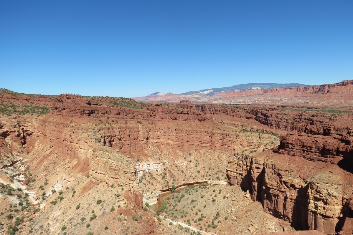
We stopped at the Capital Reef Visitor’s Center before driving eight miles down the Scenic Drive to the end. Then we drove two miles on the unpaved dirt Capital Gorge Road with unbelievably beautiful vistas of huge canyon walls and colorful rock formations.
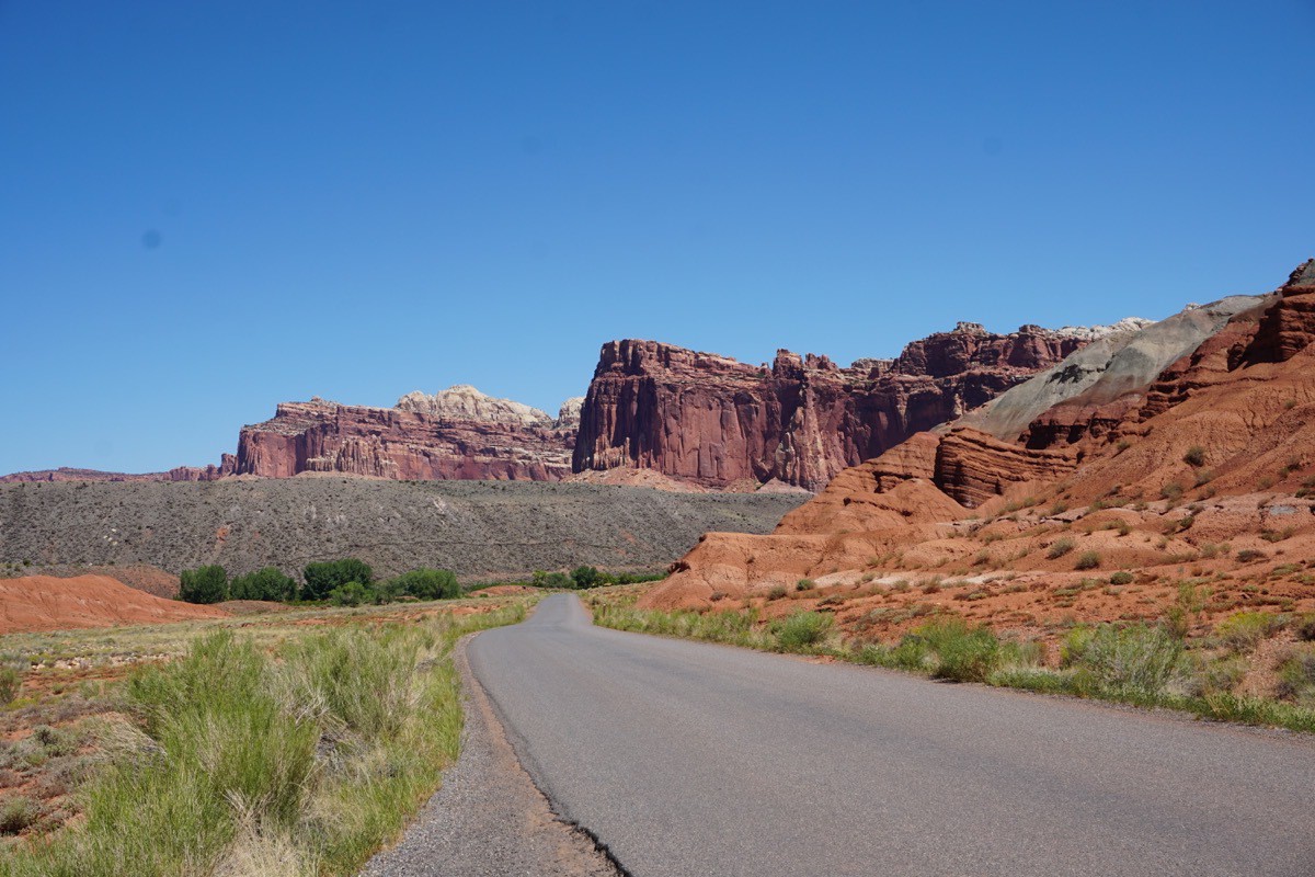
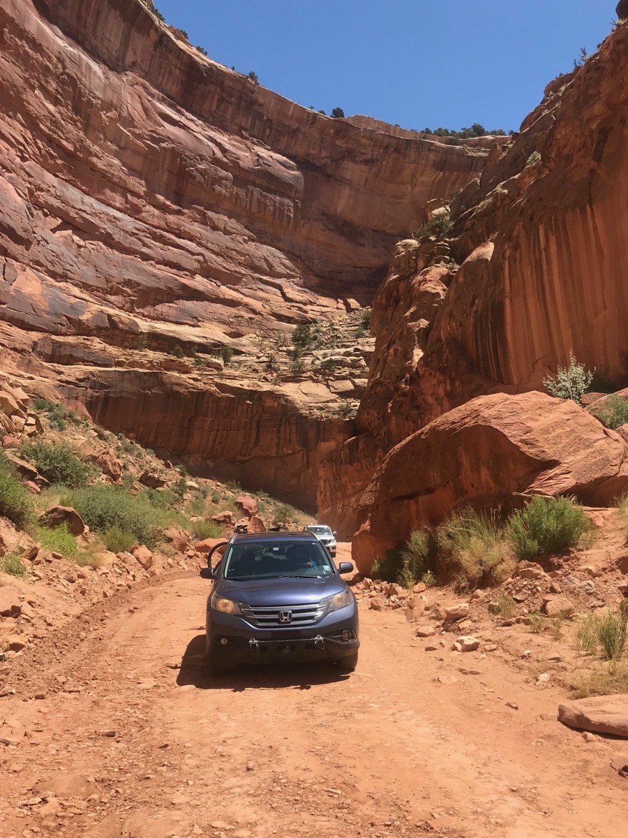
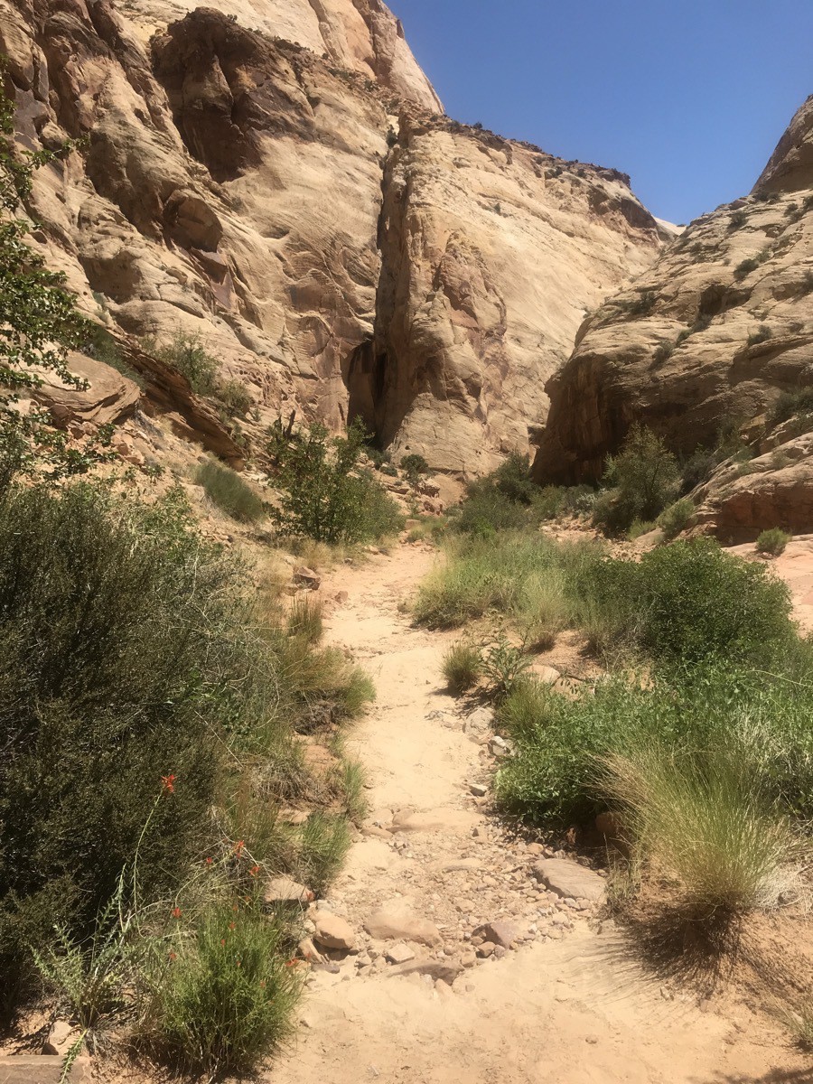
When we got to the end of the Capital Gorge Road, we parked the car and walked the Capital Gorge which was a 2.0 hike roundtrip. It was an easy hike that was mostly flat, but walking between the hike canyon walls was thrilling.
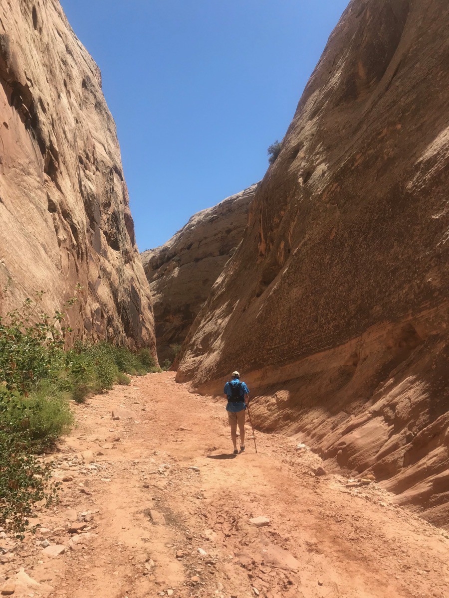
Afterwards, we drove back up the scenic road and turned onto the unpaved Grand Wash Road. At the end of that road we parked the car and did a STRENUOUS (did I say STRENUOUS???) to Cassidy Arch. That hike was 3.5 miles roundtrip with an elevation gain of 670 feet, but it was a beautiful hike.
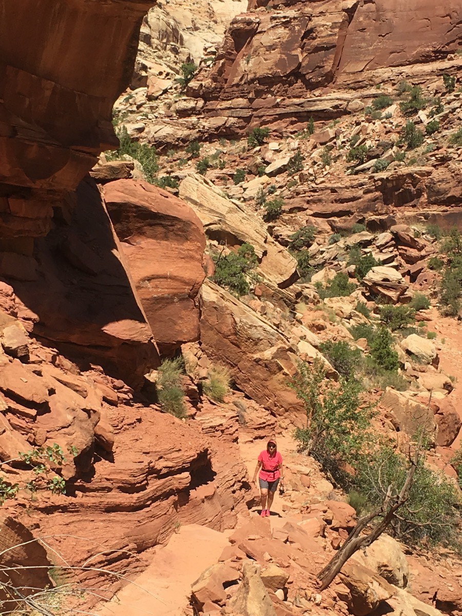
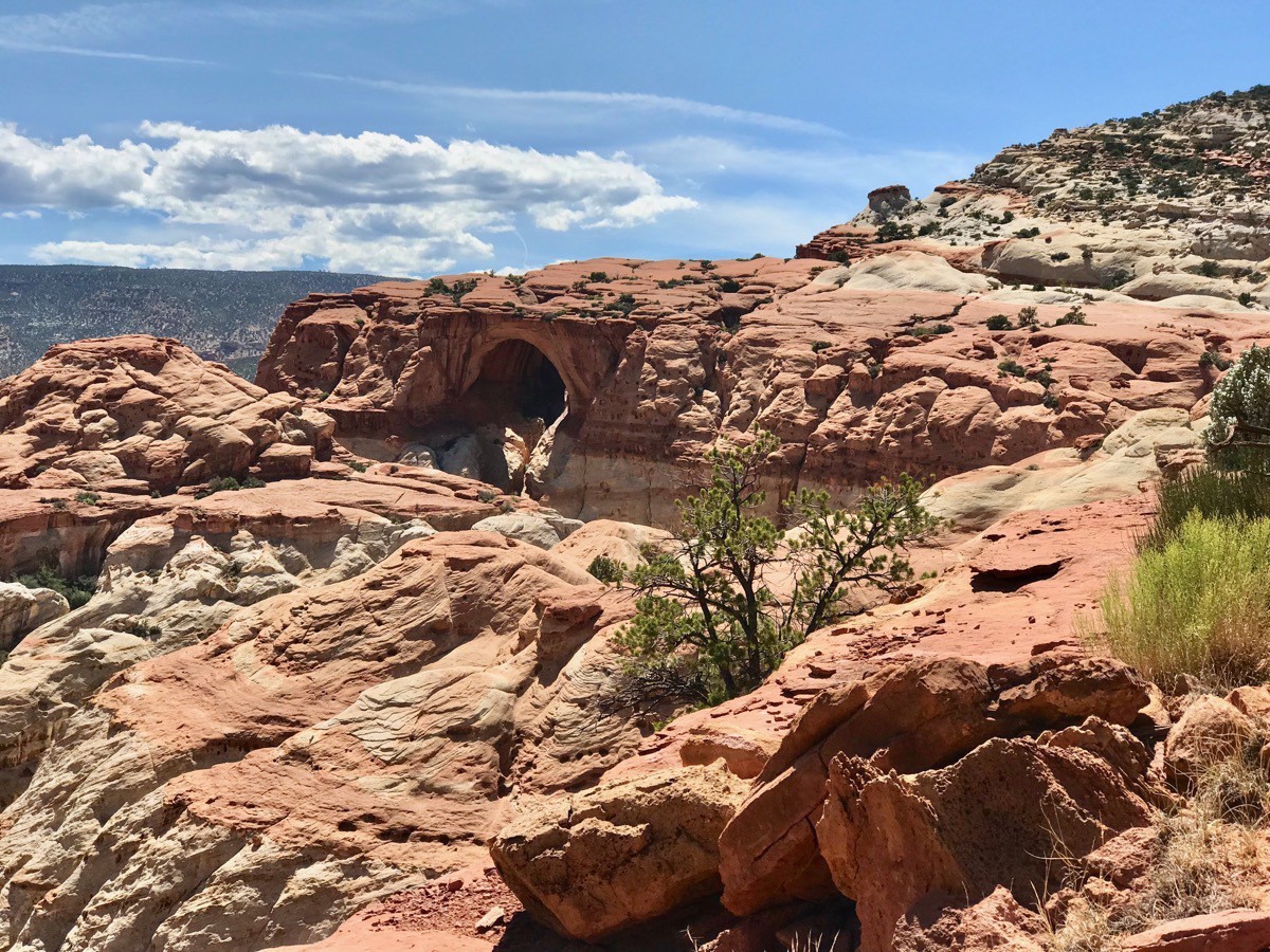
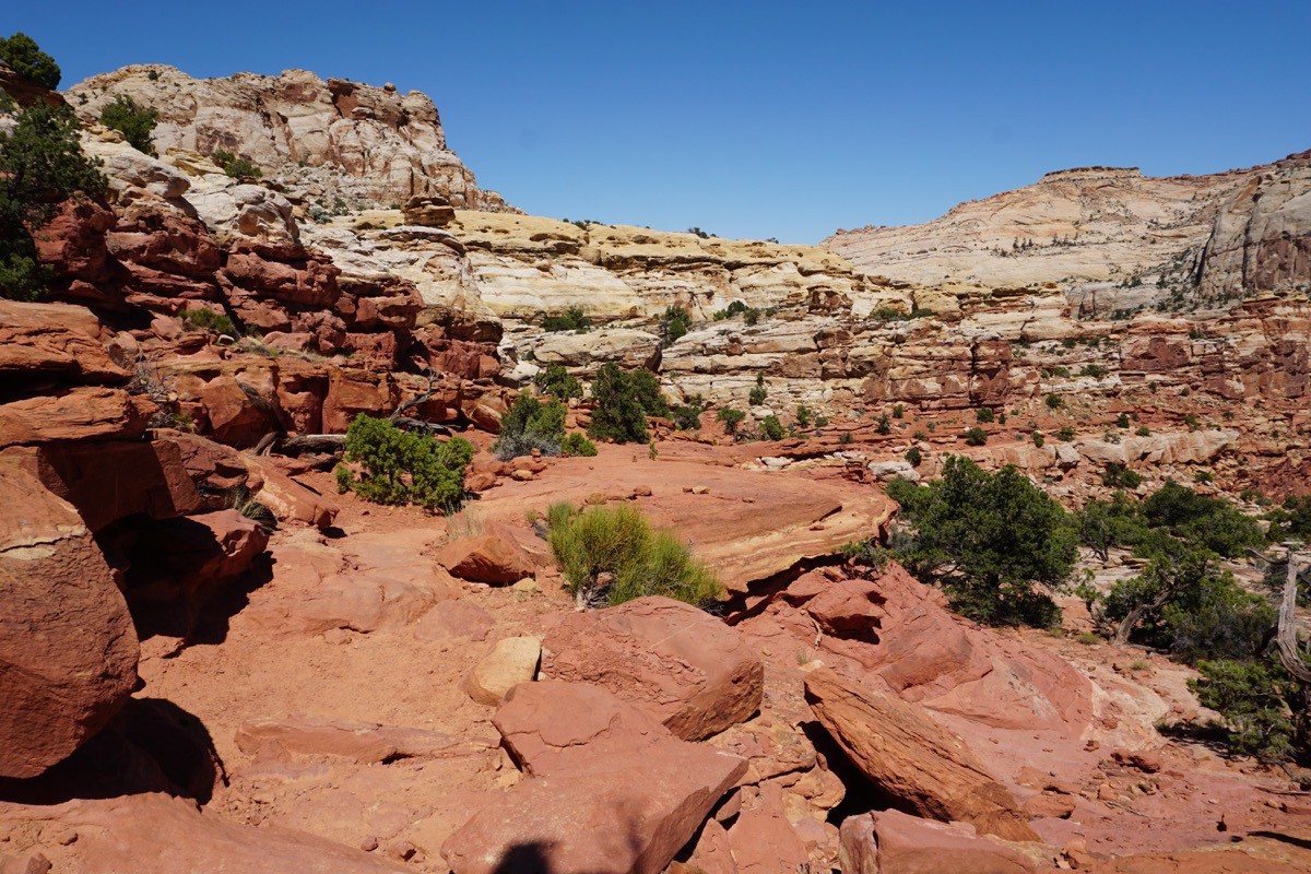
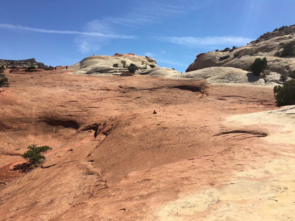
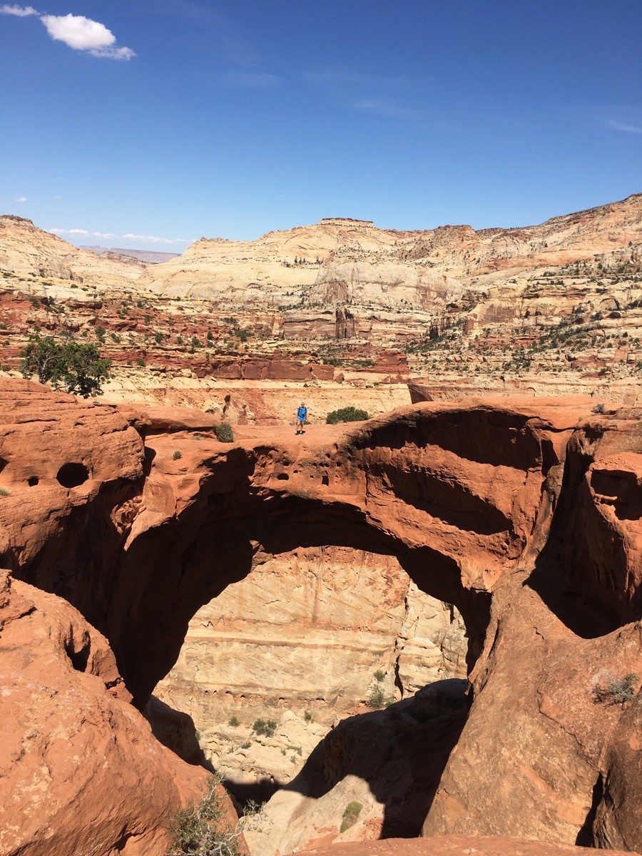 Can you spot Tom on top of the arch?