-
Grand Junction/Fruita, CO- Colorado National Monument (Days 56-58)
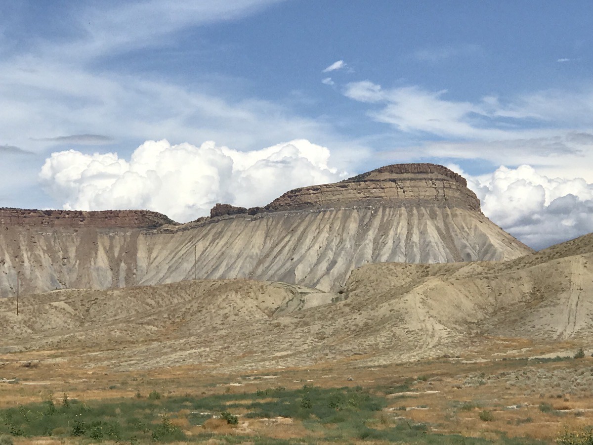
We stayed at the James Robb Colorado State Park, Fruita which was a beautiful paved campground with covered picnic tables at each site and full hookups. The park also had a bike trail, picnic area, volleyball court, playground and other amenities.
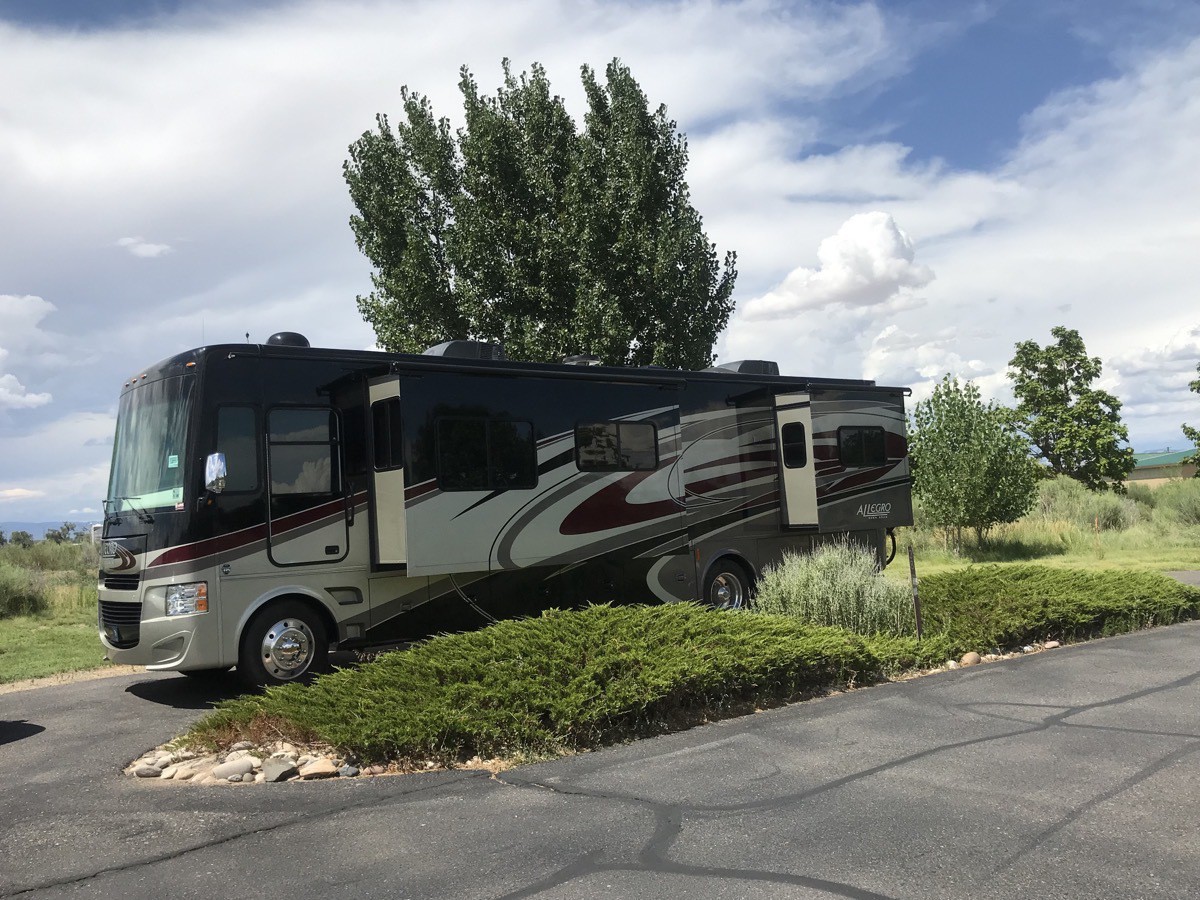
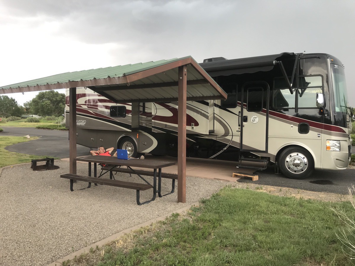
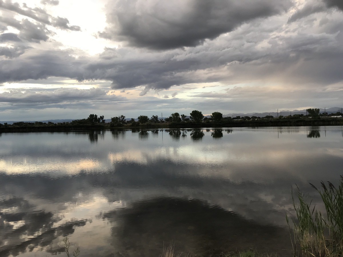
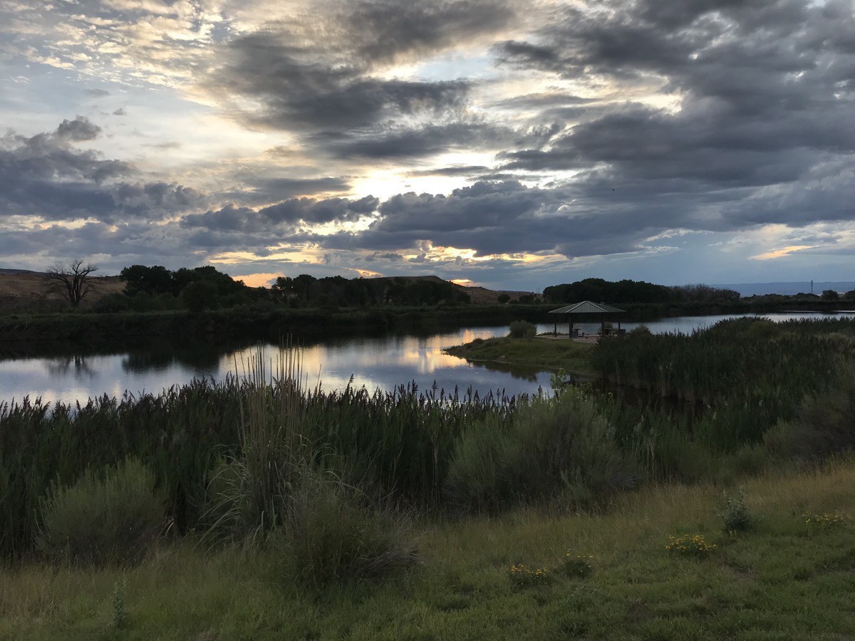
The first evening we were both there, we ate dinner at Golden Corral and bought groceries at Walmart before coming back to Big Hat to relax. Later, we walked around the campground in the evening and I took these pictures at sunset.
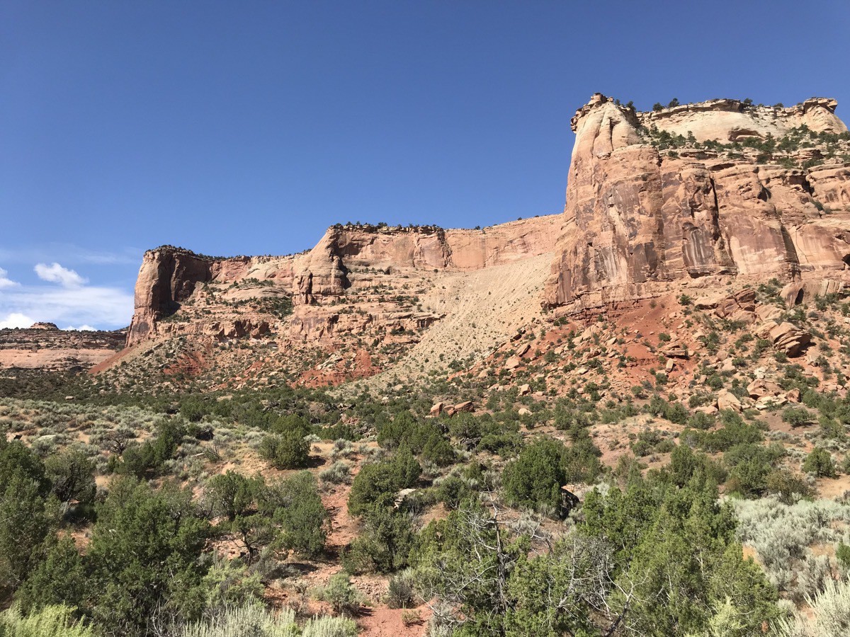
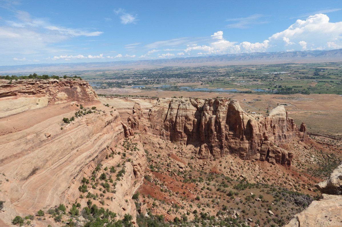
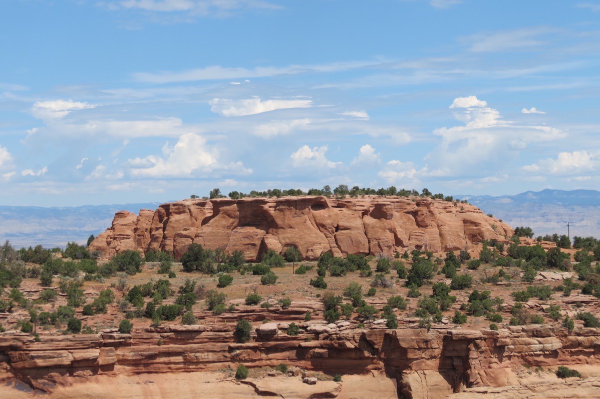
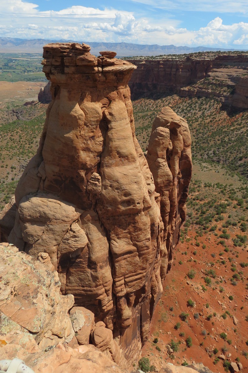
On Friday we drove into the Colorado National Monument and hiked a trail around the visitor’s center. After driving all the way through the park, we stopped at Outback for lunch.
I was still exhausted from my long drive I did the previous two days, so we just hung out at the campground for several hours. After dinner I went to McDonalds that was right beside the campground to use their wifi to work on Ben’s Shutterfly vacation book.
-
Glenwood Springs to Lakewood and to Grand Junction
When we left Glenwood Springs this afternoon, I left in the car to drive Ben back toward the Denver Airport (208 miles). We spent the night in Lakewood with Darien and Licia while Tom drove Big Hat on to Grand Junction. We didn’t feel comfortable leaving the motorhome unaccompanied for two days.
For dinner we ate at Chuy’s Tex Mex which was delicious! Afterwards, we stopped at McGill’s for ice cream. I had salty caramel Oreo cookie ice cream which was the best ice cream I have ever had!
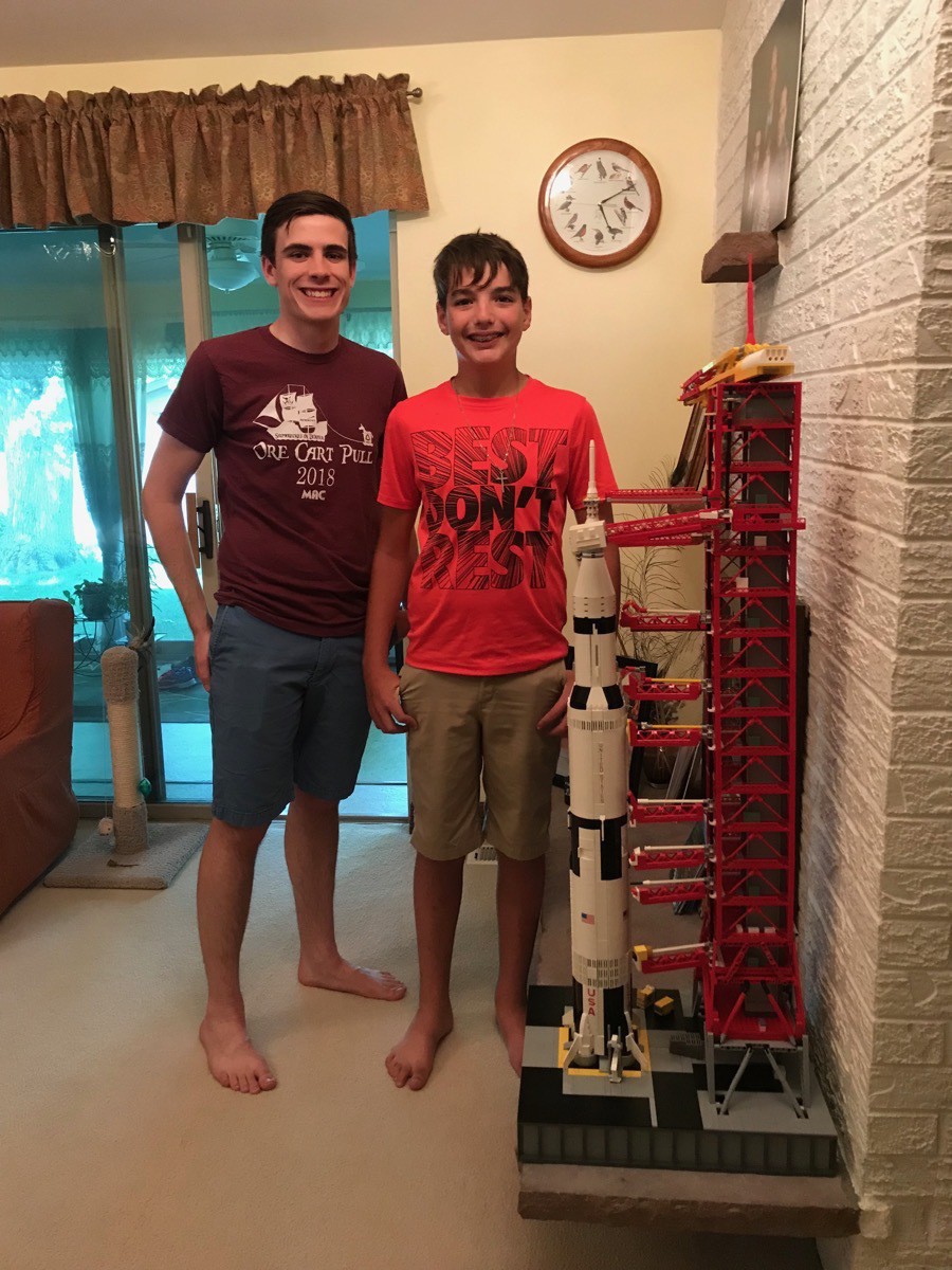
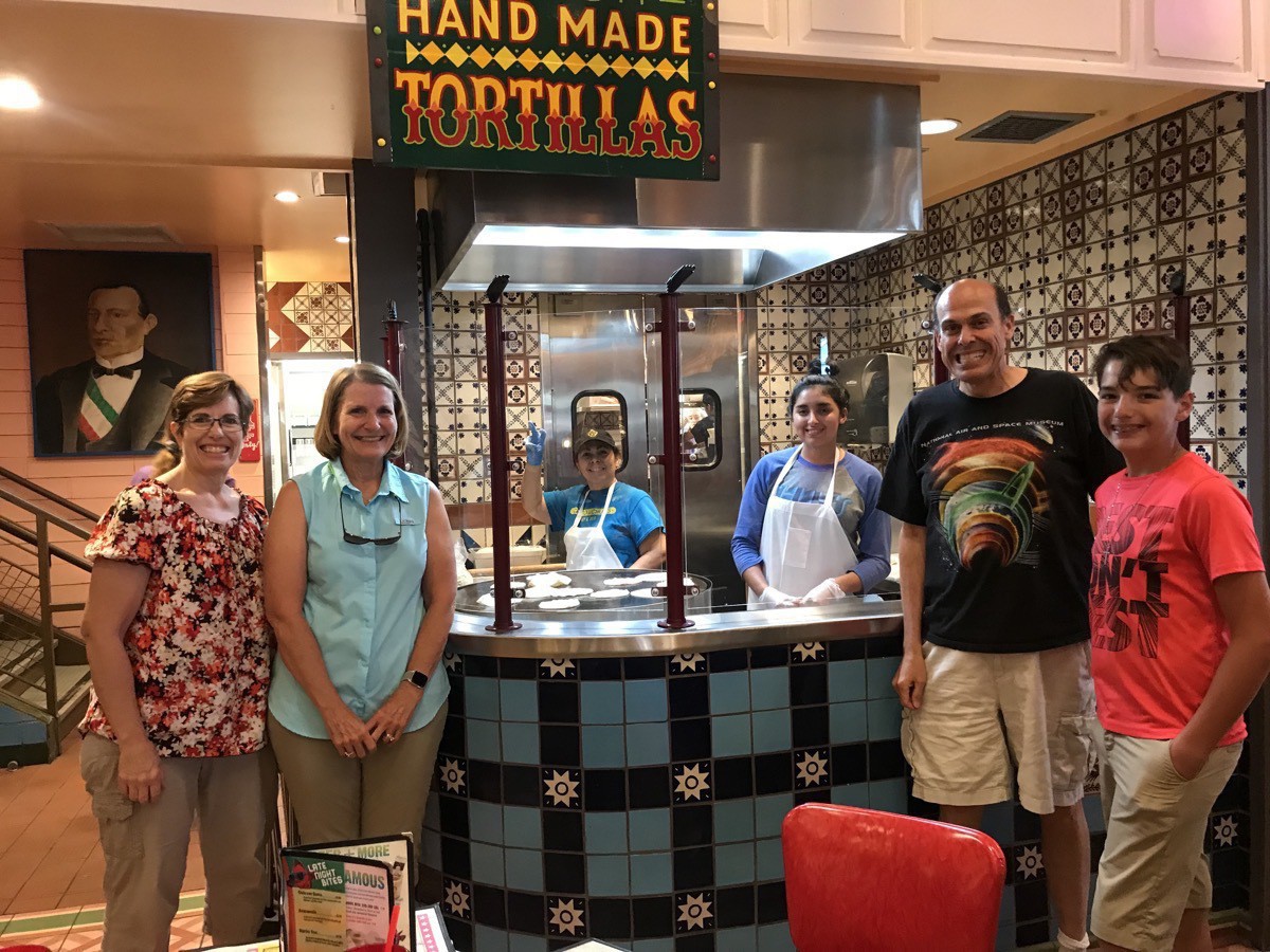 We were able to see Charles’ completed umbilical tower that he spent over 80 hours building. He had to find parts that are no longer in circulation from as far away as Sweden and even had a few made with a 3D printer! Including the Saturn V that he had built a long time ago, there were over 6,000 pieces in his project! We weren’t able to attend, but he gave a presentation at the Bailey Public Library showing new videos from the NASA archives, engineering feats accomplished, and displayed his completed umbilical tower with Saturn V—all to help celebrate the 50th anniversary of the Apollo 11 moon landing.
After dinner and ice cream we played Phase 10 until bedtime.
Wednesday, July 24 Ben and I left the O’Brien's home in Lakewood at 7:45am to eat breakfast at McDonalds before heading to the airport. Since he was an unaccompanied minor, I had to check him (and me) in at the ticket counter before heading for the gate to wait for his flight.
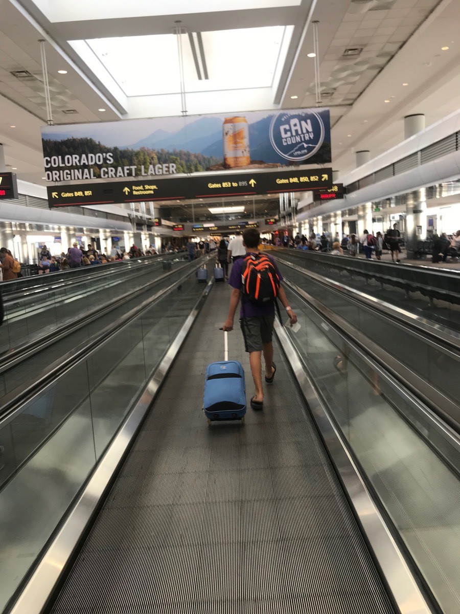
We couldn’t have asked for a better travel companion and we will definitely miss him.
Meanwhile, I had to drive from the airport 277 to Fruita, CO (outside of Grand Junction) to meet back up with Tom. I drove 485 miles in two days and was EXHAUSTED by the time I got there!
-
Glenwood Springs--Hike To Hanging Lake
Our second experience with having to have reservations to do a hike was today when we wanted to hike the Hanging Lake Trail. Too many people were hiking in that area, there is road construction and limited parking, so we had to purchase passes at the Hanging Lake Welcome Center located beside the Glenwood Springs Recreation Center. I tried to get reservations for the two previous days and was finally able to get them for today at 12:45. The cost for the shuttle and the hike was $12 each.
We boarded an unairconditoned bus for the 25 minute ride, which took at least 45 minutes because of the construction, As soon as we arrived, we started walking the bike trail to where the actual trail began. We hiked a total of four miles, but the strenuous part was the 1.25 miles going up with an elevation gain of 915 feet. We hiked over boulders, along streams, across bridges, and saw five snakes before we FINALLY got to the top and saw the beautiful Hanging Lake. It’s such a surprise to see such a beautiful sight so high up in the mountains!
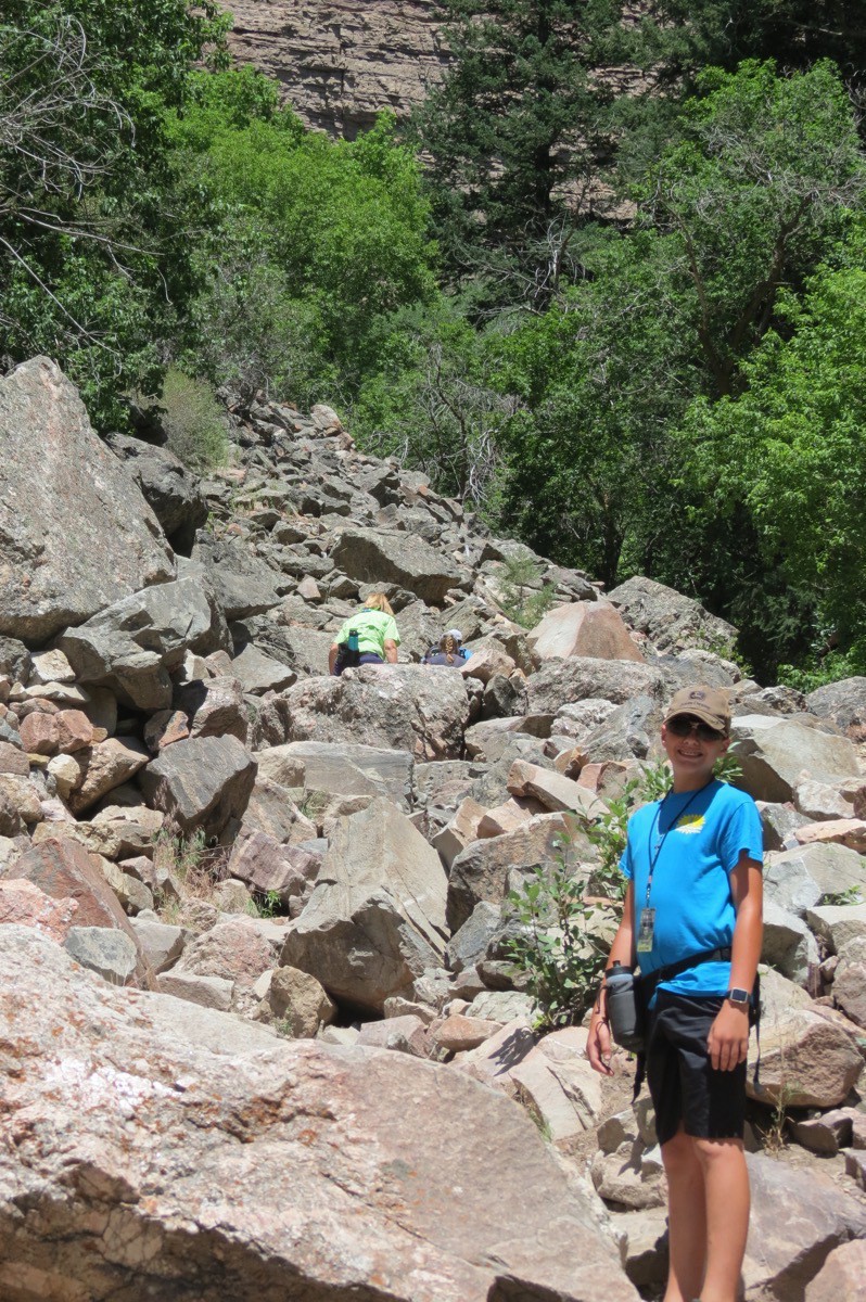
Up we start by climbing over these boulders.
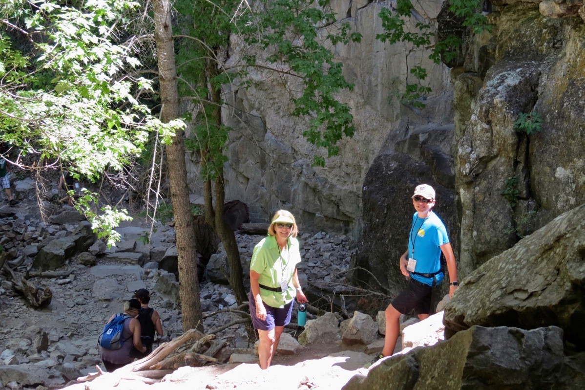
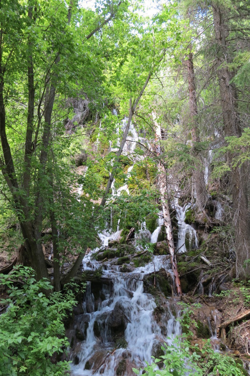
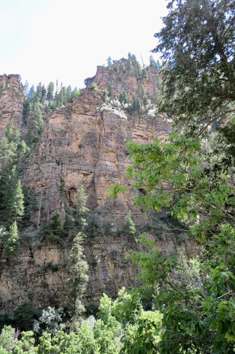
We would look up when we got to a clearing to see how much further we had to go.
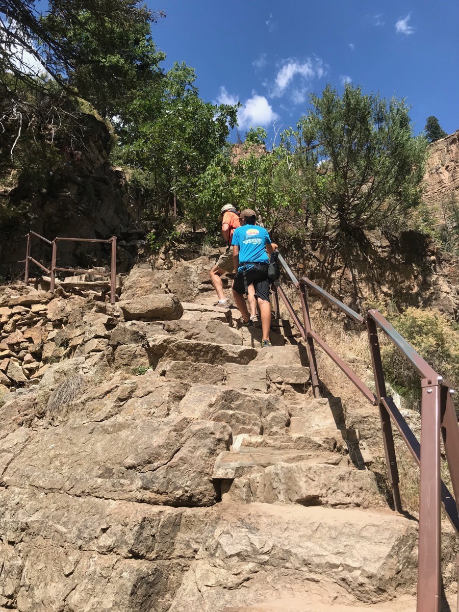
We are on our final ascent!
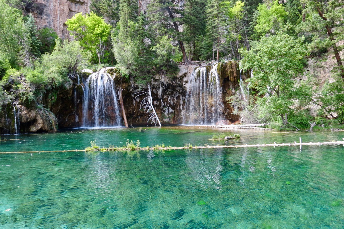
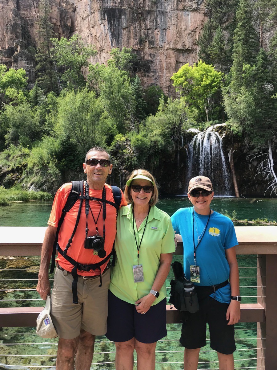
…and here it is—the beautiful Hanging Lake!
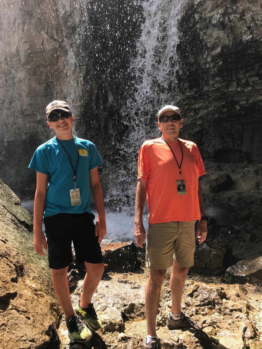
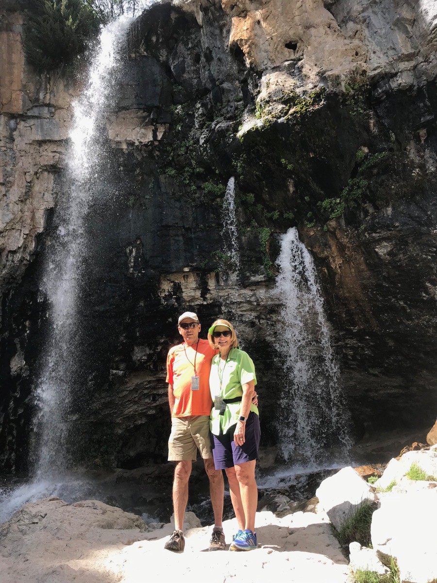
After we took our many photos at this point, we hiked another 100 feet or so in elevation over .25 mile to Spouting Rock where we hiked behind the waterfalls and took some additional pictures.
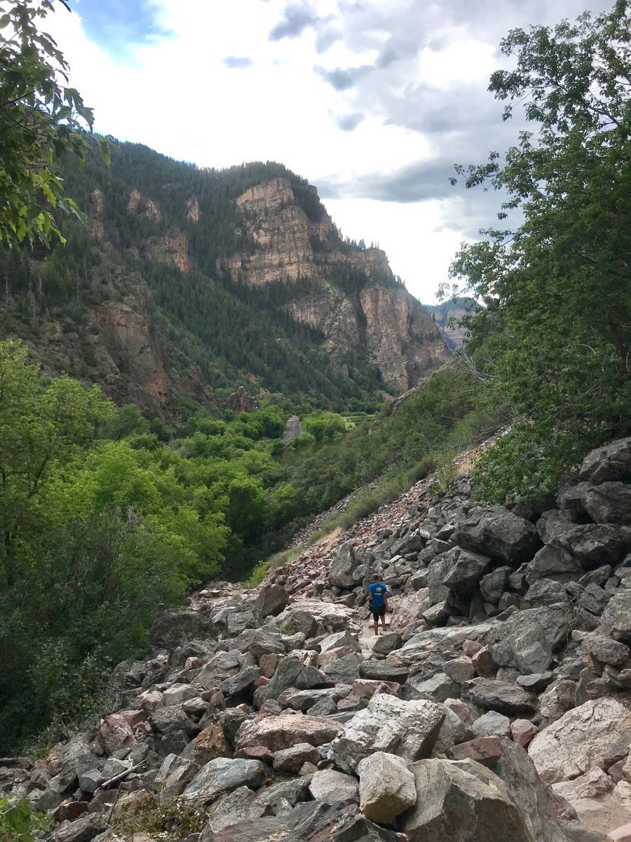 Here is Ben hiking back down the trail.
After we rode the bus back to the Hanging Rock Welcome Center, we drove to Kaleidascoops and got some well-deserved ice cream before heading back to Big Hat at the Glenwood Canyon RV Resort. Ben and I grabbed our swimsuits and towels and drove back to the Glenwood Springs Recreation Center to swim and sit in the hot tub while Tom stayed behind and rested.
After a late dinner we played an alternate version of Phase 10 which was fun.
-
Glenwood Springs, CO (Days 52-53)
We left Breckenridge to drive to our next stop in Glenwood Springs, CO. Because we had to change some reservations in order to get Ben back to the airport for July 24, we couldn’t book a campground for the first night. We stayed in a very nice Walmart Parking lot with five other motorhomes. The first evening we went to the Glenwood Springs Vaudeville Dinner and Show. The dinner was very tasty and the entertainment was hilarious!
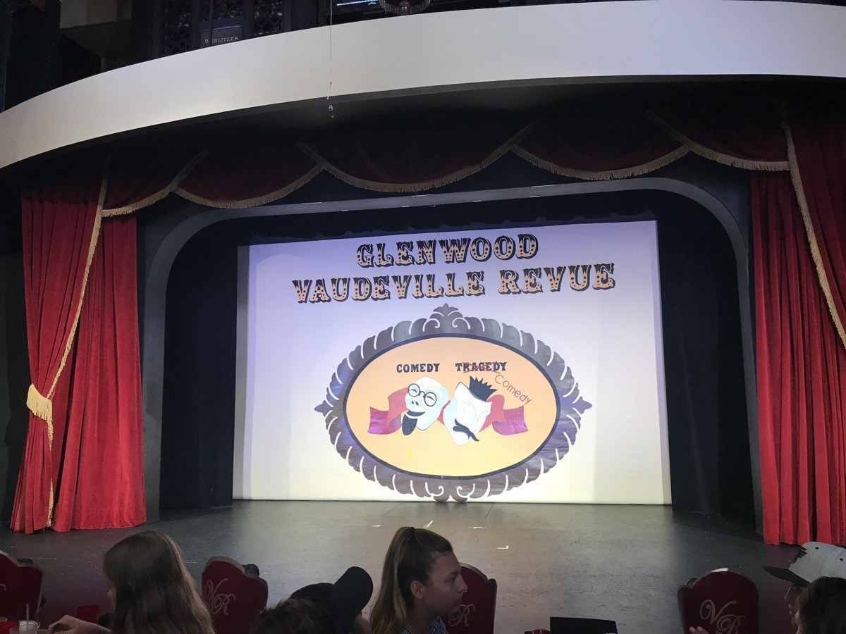
By the time we got back to Big Hat and played a full game of Phase 10, it was bedtime. Even though our generator didn’t work in Breckenridge (we are guessing it was because we didn’t know how to make the high altitude adjustment), it started up first time in the Walmart Parking lot. We slept comfortably for the night.
Maroon Bells
On Sunday morning we drove to Maroon Bells which is near Aspen. No-one can drive a car into the park from 8:00AM - 5:00pm, so we drove to the Aspen Highlands Visitor’s Center where we paid $15 to park and $8 each to ride the shuttle into the park. The ride took about 25 minutes and was narrated by the bus driver. Because of the record amount of snow during 2019, there were many avalanches within the park and the cleanup delayed the opening on the park for the season. Apparently several weddings that were scheduled to take place in there had to be relocated outside the park.
On our ride up to the park we could see the paths of the avalanches which totally uprooted all the aspen trees in it’s way. In all our past travels we had not seen the destructive paths of an avalanches.
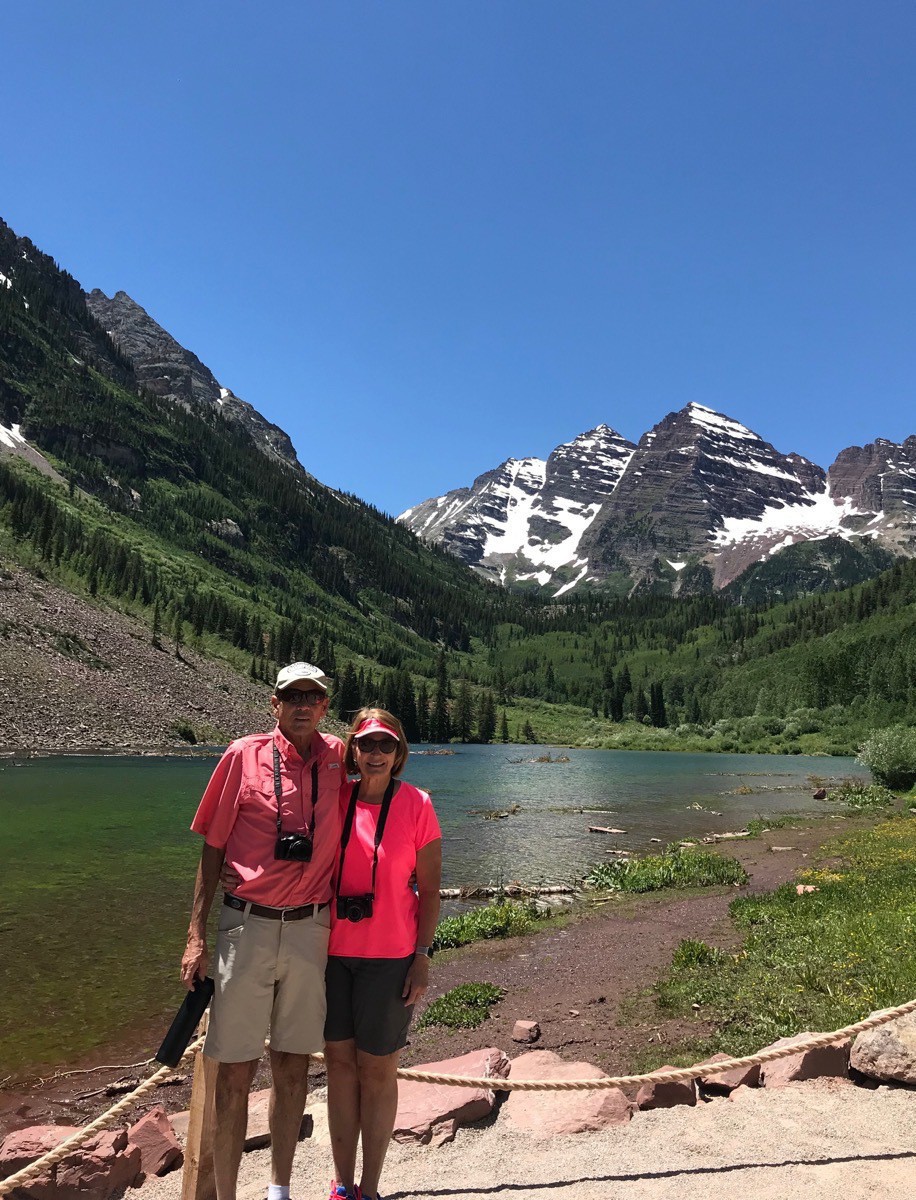
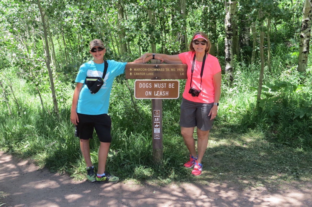
Ben took a picture of us right when we arrived in the park. Then we spent several hours hiking up to Crater Lake.
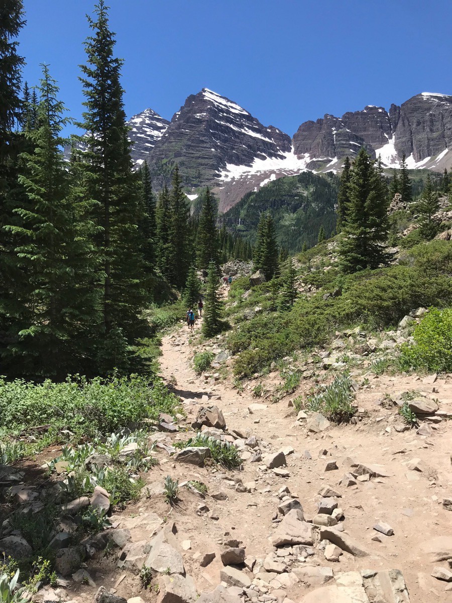
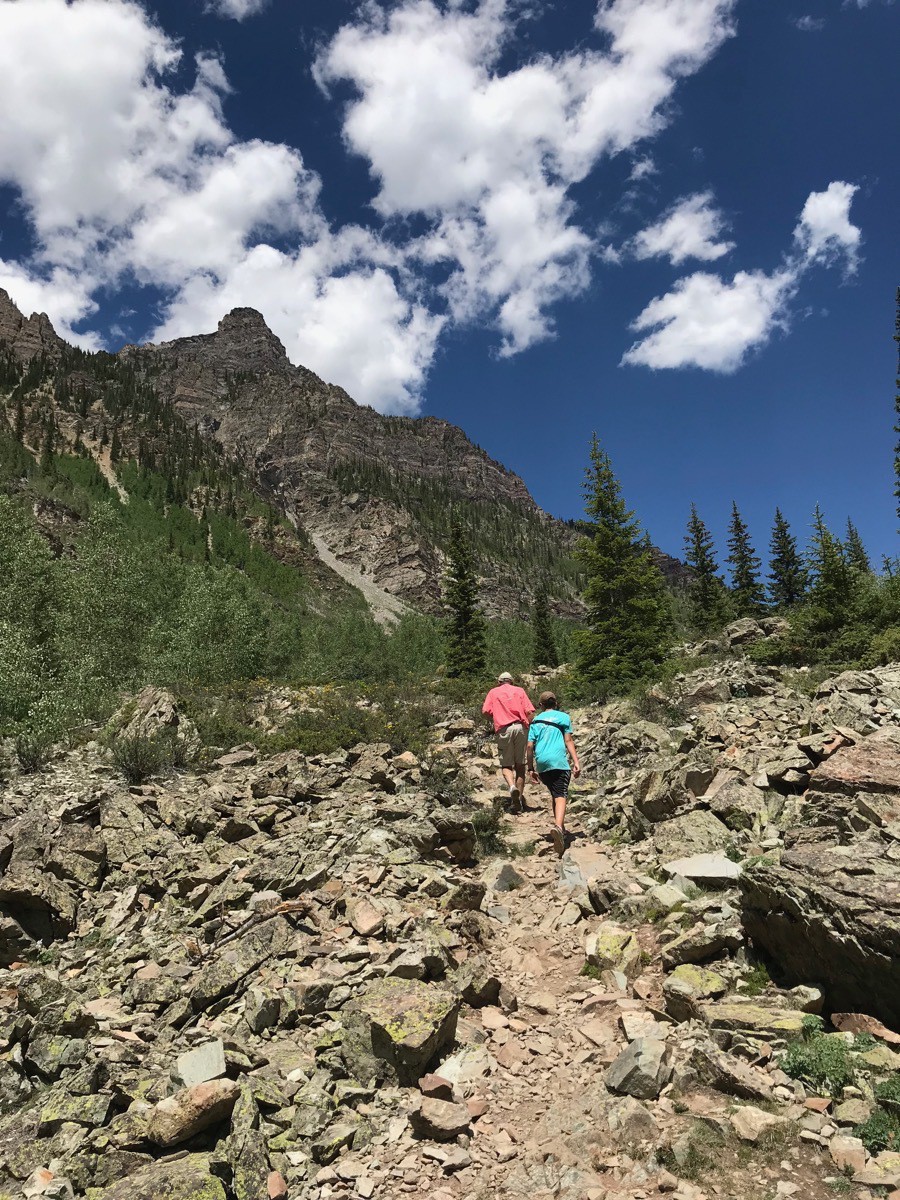
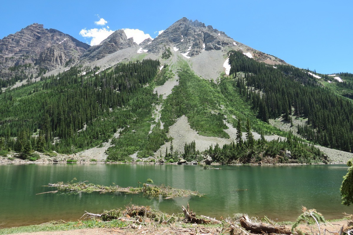
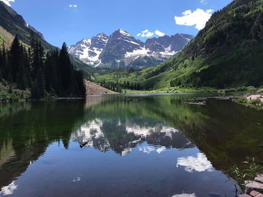
When we finished our hiking for the day, we boarded the bus for our ride back to the Highland’s Visitor’s Center and then drove the 44 miles back to the Walmart in Glenwood Springs after stopping for some ice cream at Kaleidascoops.. We drove Big Hat to the Glenwood Canyon RV Resort where we will be spending the next two nights.
-
Breckenridge, Colorado (Days 49-51)
We spent four days in the absolutely amazing town of Breckenridge at the Peak One Campground. The campground is part of the National Forest and is very pretty. It’s actually located in Frisco, about 8 miles from Breckenridge, right along the Dillon Reservoir. The lots are huge, but there are no electricity or water. hookups. That shouldn’t have been a problem because our water tank holds 70 gallons of fresh water and we have a generator. However, for some reason, our generator did not work so we had no electricity other than lights. Nevertheless, we were never in the camper during the day when it was warm and at night the temperature dropped into the high 50’s.
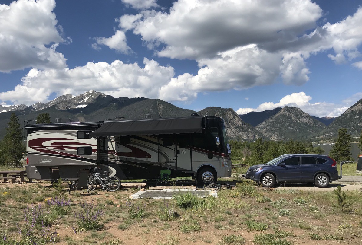
The first evening we just walked along Main Street in Breckenridge and ate at Eric’s Downstairs. The pizza was very good!
On Thursday we rode our bicycles for 6.25 along a bike path that went from our campground into Frisco and back. In the evening we met Adrienne and Will at a music concert at the Frisco Historical Park.

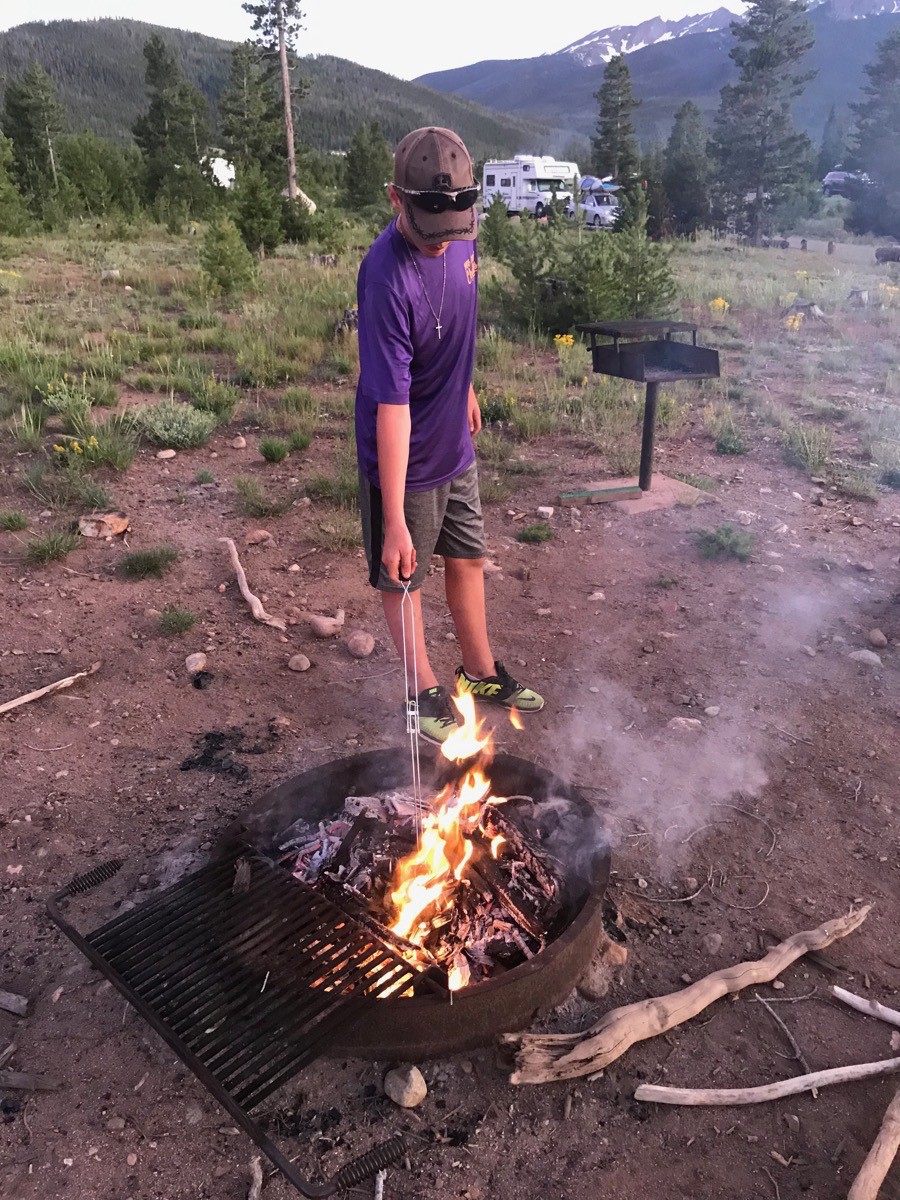
When we got back to Big Hat, we made a campfire, roasted marshmallows and made s’mores.
Epic Discovery Park
On Friday we spent the entire day at Epic Discovery. To get there we rode the free town gondola up the mountain. We bought an unlimited ride pass for Ben and chose a three-ride ticket for Tom and me. As soon as we got there we rode the ski lift up the mountain to ride the alpine slide back down.

Next, we stood in line to ride the coaster.

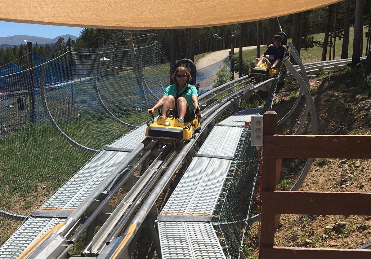
There was a huge mountain of snow piled high to play in, and we enjoyed sliding down on it.
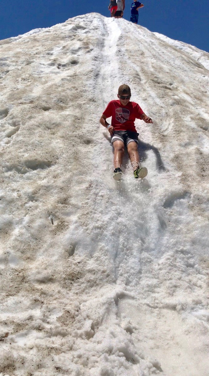
Here goes Ben!

Next was Tom
video_4e8de2cdfb3b415fa065f84650fdcd05.mp4
But my ride down was the most exciting
 Ben climbed many sides of the rock wall from easy to difficult.
 While Ben enjoyed riding the rides and climbing the rock wall, Tom and I rode the final ski lift higher and then hiked near the top of the mountain. In some places there was still snow on the mountain and on the path. It was an absolutely great hike with beautiful vistas. We hiked and walked 5.5 miles!


 Late in the afternoon I went with Tom to get his hair cut while Ben finished out the day on top of the mountain at the Epic Discovery Park. The hairdresser discovered someone had taken her phone. It was a new iPhone and she was so upset—naturally. I showed her how to sign into Find my Phone on my phone and we locked her phone and put the phone number at her shop for someone to call if they found her phone. I could see where her phone was located on the map and it was only a few blocks from her shop. Tom and I walked to where her phone was located while I was continually beeping her phone. We walked in the store where the app said the phone was and I could hear it making the ringing sound. ( mind you it had a phone number to call if anyone found it right on the lock screen). I asked the guy for the phone and he handed it to me while saying it had been making noise for thirty minutes. I called the owner at the number we had put on the lock screen and walked the phone back to her at her shop. She was so grateful!
Moral of this story is to make sure you have the Find My Phone turned on in your phone and know how to use it!!!! I have found my phone on three different occasions in the past five years with the help of that app.
Peak One Campground, Frisco Bicycle Park
There is an awesome bicycle park in this campground where Ben and some other campers rode there bikes in the evening. I asked him to stay on the easy trails because I didn’t want him to get hurt since he had never riden his bike on those types of trails. There were many young adults riding and jumping ten or so feet in the air about each hill. Very interesting to watch!

-
Estes Park - RMNP Hidden Valley and Bear Lake (Day 48)
Yesterday we drove back into Rocky Mountain National Park and this time headed for the Hidden Valley picnic area where we hiked a very steep trail. The beginning of the trail was paved and we thought the hike would be mainly for families with young children. After .25 miles the paved trail ended and we had to walk across a fast-moving stream on a fallen tree to continue along the trail. Because of the record level of snow in RMNP this year the snow is still melting. Although there was no snow on this trail, the water run off was continuous. Some of the trail was soggy and some was downright covered with water, but we forged ahead hoping to get to the top of that particular mountain. After hiking .75 miles straight up and realizing the top was totally eluding us, we decided to turn around and head back down. We later found out that Hidden Valley used to be a ski area that’s been closed over 30 years and we were hiking on the ski slope!
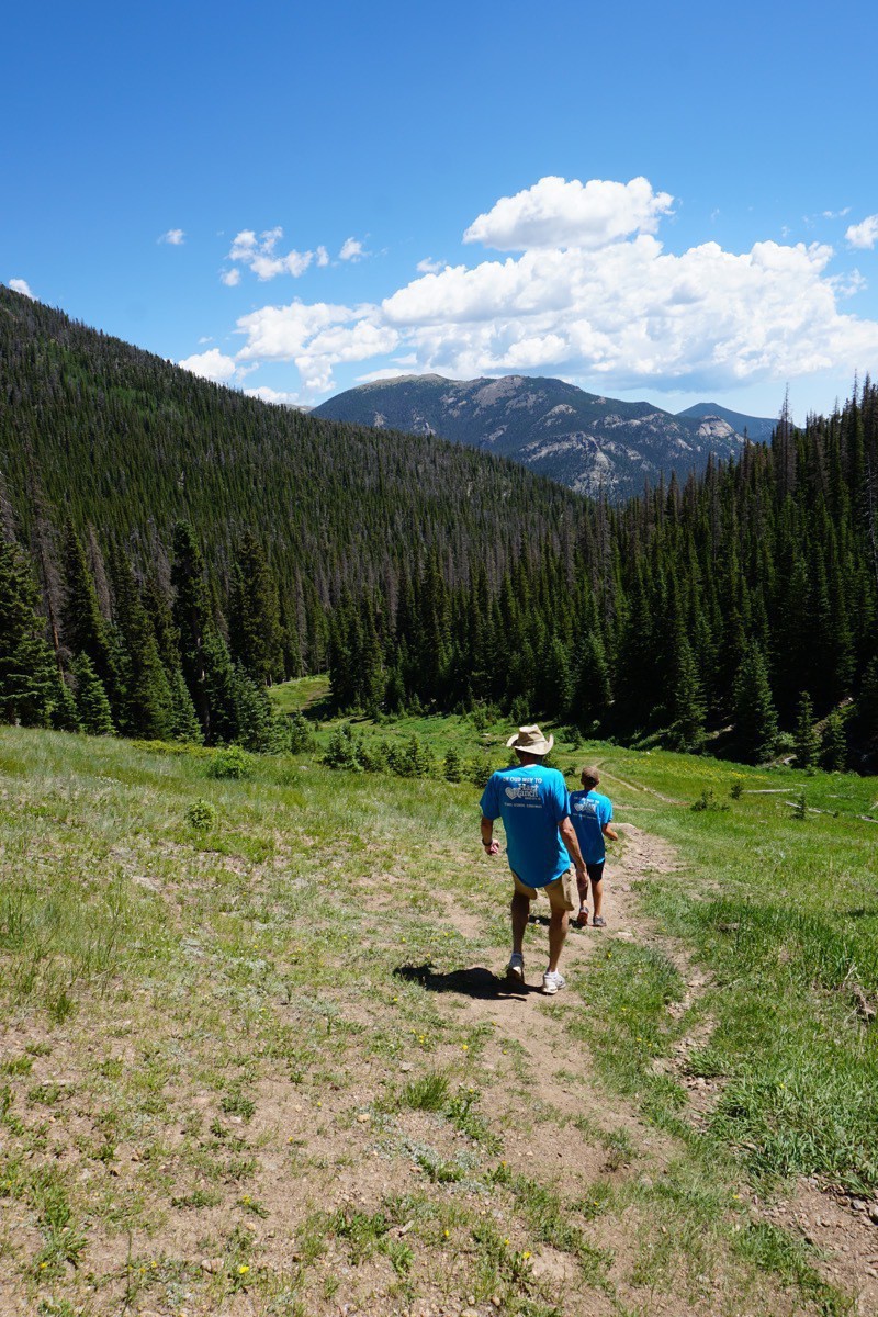
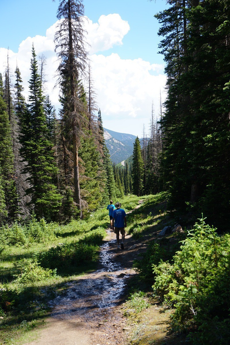
Tom and Ben going back down the trail after walking through some mud.
Bear Lake
We drove out to the Bear Lake parking area in hopes that we would be lucky and get a parking spot. We were able to park and walk to the lake to take some pictures before leaving RMNP.
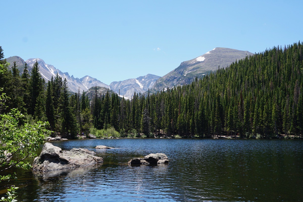
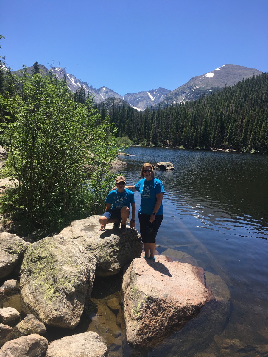
We stopped on the way out of the park to walk around and snap a few more pictures.
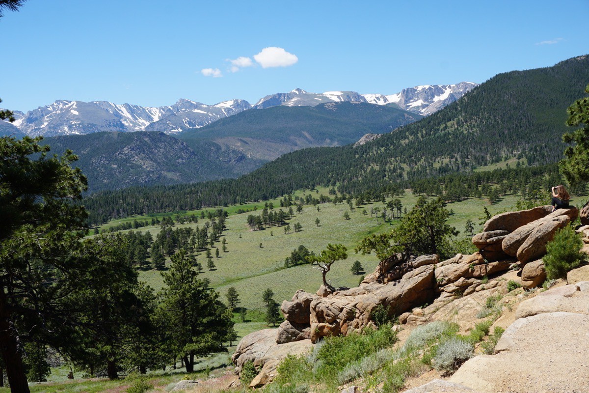
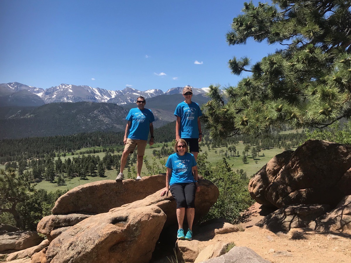
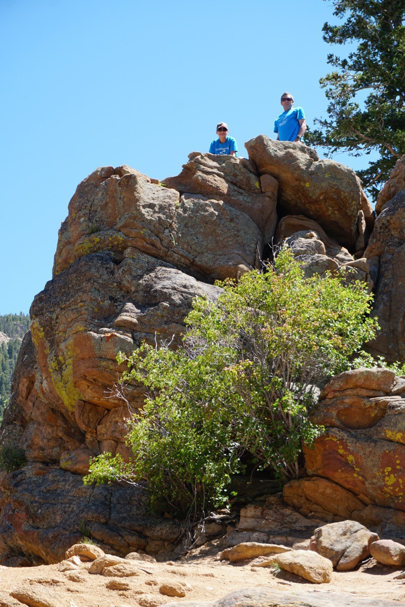
In the afternoon I went into town and got a pedicure while Tom took a nap and Ben rode his bicycle with some friends. At 6:00 we joined a covered dish dinner at the campground hospitality area. I brought red beans with sausage and rice which was a hit (Blue Runner, of course). In the evening—and for five other evenings while we were in Estes Park– we played bridge with Donna and Bob. Their bridge scores were much more impressive than ours. In other words, they killed us!
Since it gets dark late in the evenings, Ben was able to play outside until 8:45.
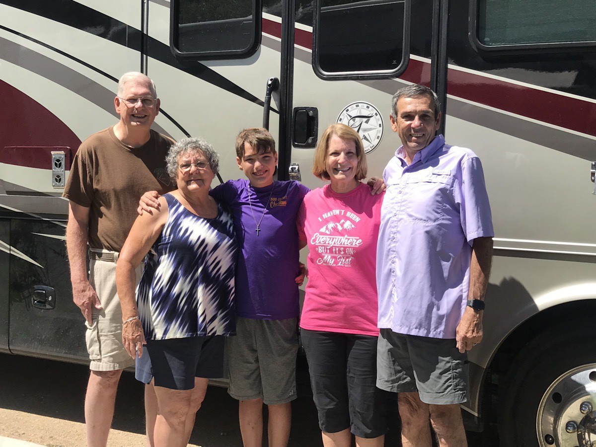
We left our friends this morning and are now headed for Breckenridge, Colorado
Trip Data:
- Manor RV Campground for 6 nights @ $55.00 per night. Campgrounds cost so far $1,507.86, an average of $31.41 per night.
- Total miles driven in Big Hat 3,461 and 1967 in the CRV for a total of 5,528 miles
- We’ve spent $1,440.78 on gas, or an average of $30.02 per day
-
Rocky Mountain National Park (Days 47)
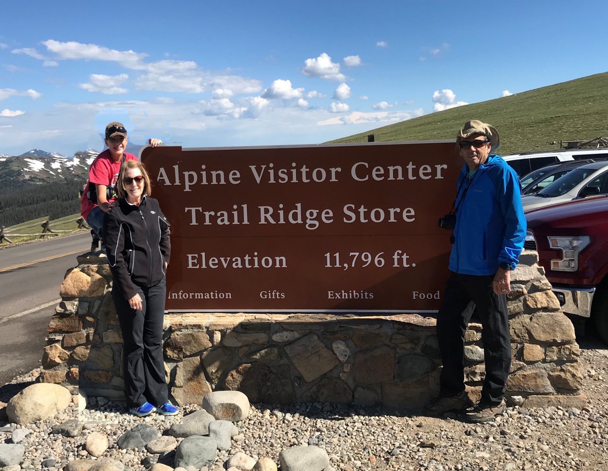
We drove into the park around 8:15 so we would be able to get a parking spot at the Alpine Visitor Center at the top of Trail Ridge Road. The weather was perfect when we entered the park with beautiful blue skies. It’s a 23 mile drive to the Alpine Visitor Center with an elevation gain of almost 5,000 feet. The road is in very good shape, but there were many places along the way where there was no shoulder or guardrail and a very steep drop-off.
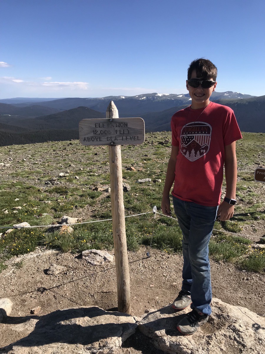
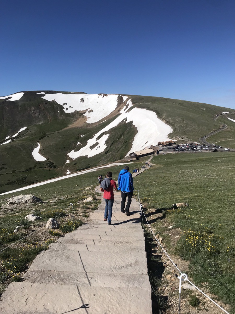
After parking at the Alpine Visitor Center, we hiked up the Alpine Ridge Trail to the top of the mountain, an elevation of 12,000'.
Ute Trail
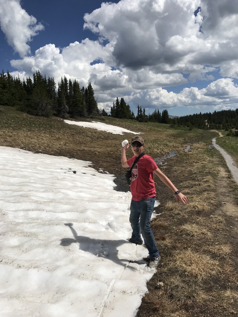
We then hiked back down to the Visitor’s center before crossing the road and hiking the UteTrail 4 miles down to the Continental Divide. We accidentally got off the trail at the wrong spot and ended up blazing our own trail down the side of the mountain until reaching the road about .75 miles before Milner Pass and the Continental Divide. Some of the way on the Ute Trail the path was covered with snow and we couldn’t see where the trail actually was. Although we lost out way in the final mile of the hike, we still reached our destination in four miles, the length of the entire correct trail. Ben was very scared when we were “lost” and forging our own trail. He started putting an “X” on each snow drift we passed, so if we had to hike back up the mountain, we’d know we had come that way. When we found the road, he was convinced that his "magic stick” pointed us in the right direction .
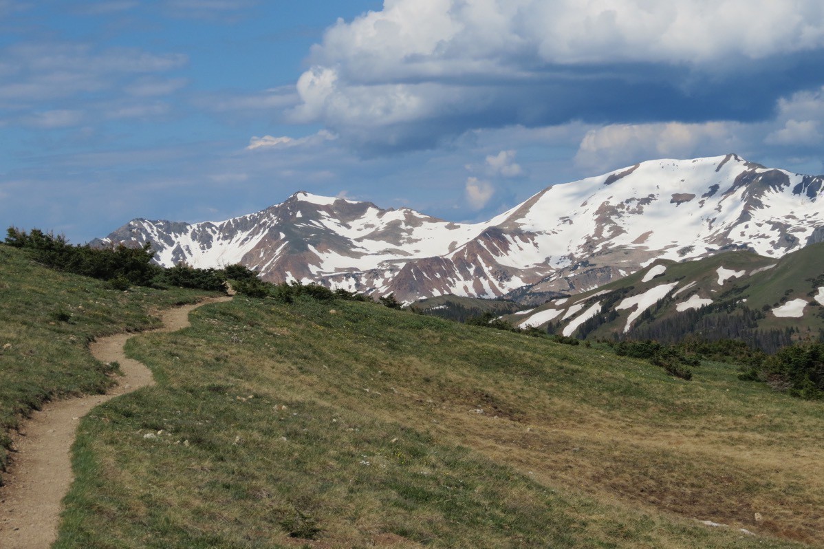
The Ute Trail
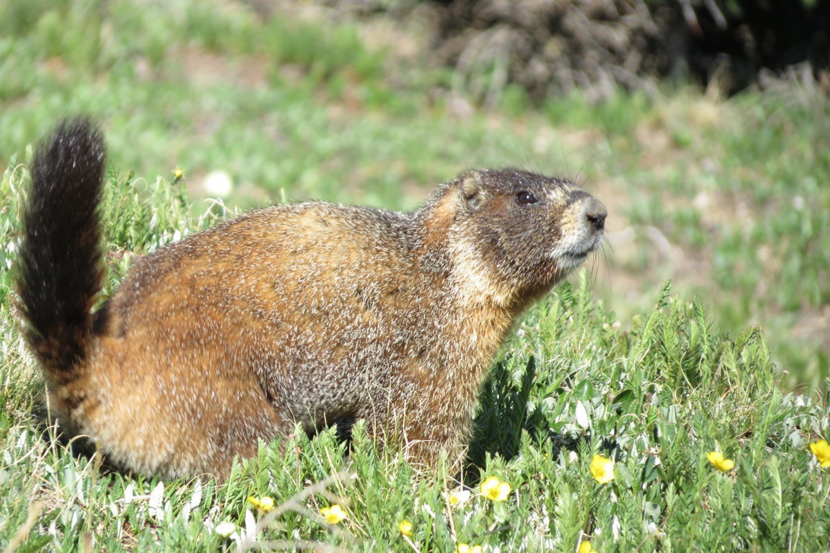
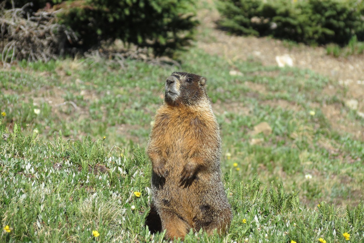 Marmot
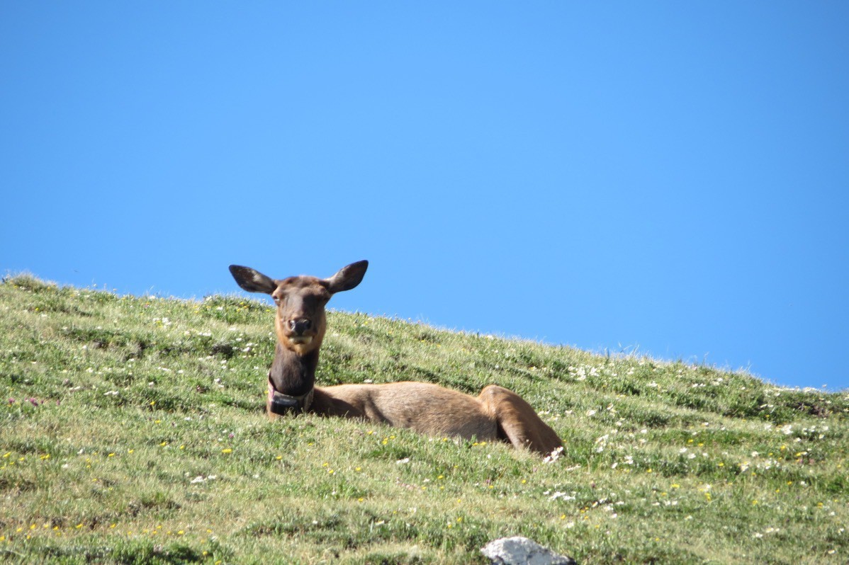
Elk
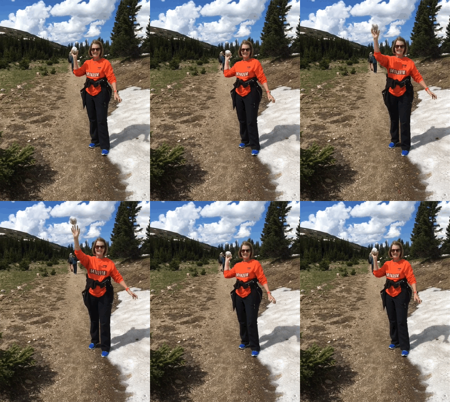
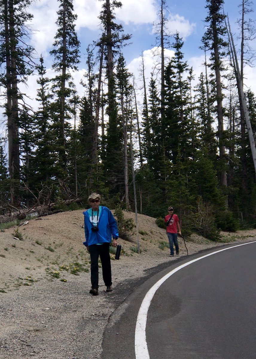
Bob and Donna Copper were picking us up at the Continental Divide to take us back up to get our car. As we were hiking the final .75 miles along the road, Ben spotted Bob’s car quite a distance away and commented that it looked like Bob’s car. As it came closer (and passed us), we realized it WAS Bob and we yelled at him, but he didn’t hear us. While waiting for us, another group of four women needed a ride back up to the Visitor’s Center and he offered to take them up. He then returned to get us.
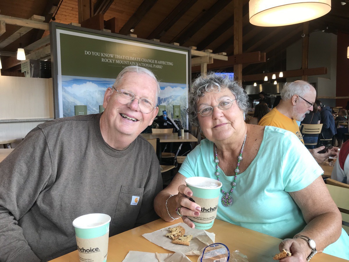
At the Visitors Center we had some hot chocolate with Bob and Donna before heading back to Estes Park in our separate cars.
-
Estes Park (Day 46)
Sunday morning we went to church at the United Methodist Church of Estes Park. Afterwards, we drove up to the Stanley Hotel where we walked through the maze in front of the hotel and saw the Stanley Steamer in the Lobby.
The Stanley Hotel
The Stanley Hotel served as the inspiration for the Overlook Hotel in Stephen King's 1977 bestselling novel The Shining and as the filming location for the 1997 TV miniseries, also written by King.
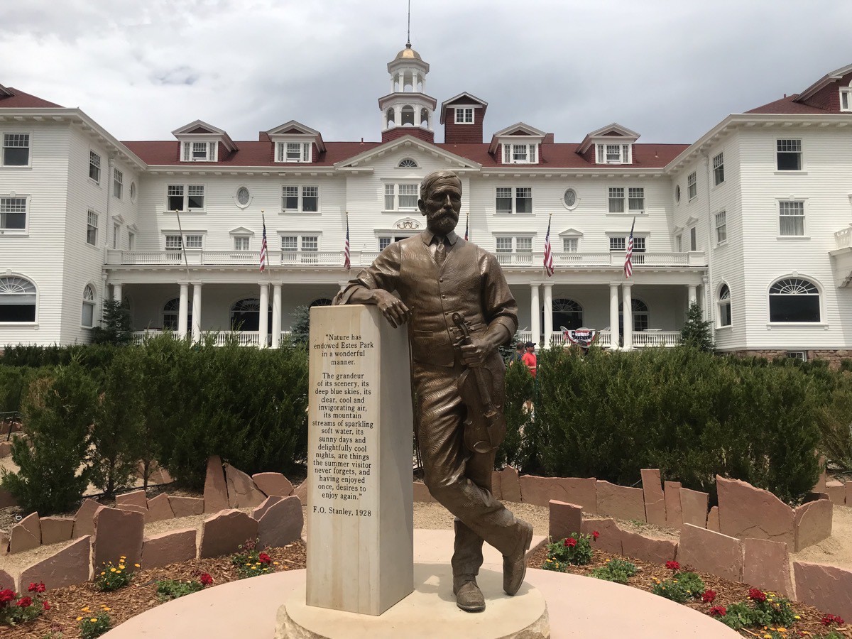
In 1903, the Yankee steam-powered car inventor Freelan Oscar Stanley (1849-1940) was stricken with a life-threatening resurgence of tuberculosis. In those days the recommended treatment was fresh, dry air with lots of sunlight and a hearty diet. Stanley resolved to spend the summer in the Rocky Mountains. His health improved dramatically and Stanley resolved to return each summer to Estes Park. He began construction on the Stanley Hotel in 1907.
Stanley Steamer
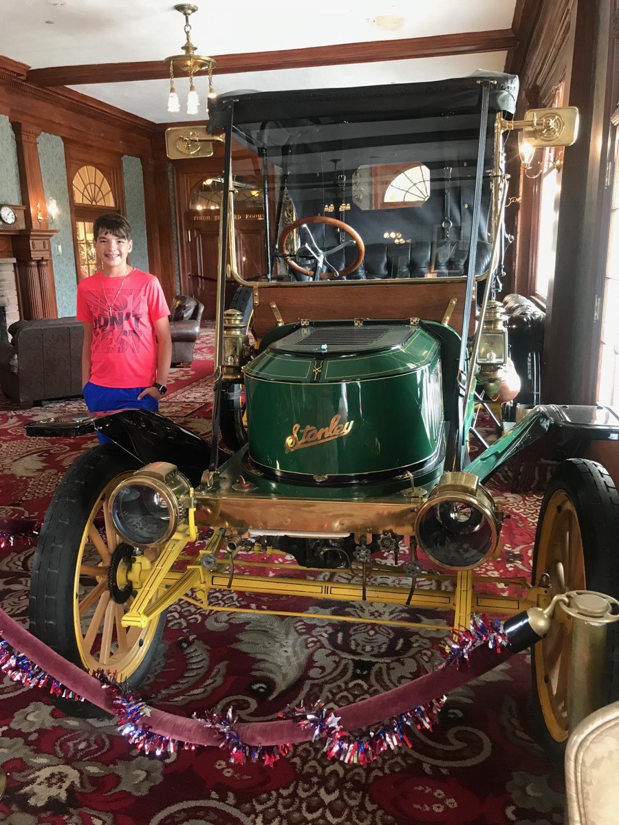
The first Stanley Steamer was built by the company founded by twins Francis and Freeman Stanley after they wold their photographic dry plate business to Eastman Kodak. They made their first car in 1897. They produced and sold over 200 cars, more than any other U.S. maker. In 1899,
Freelan and his wife Flora drove one of their cars to the top of Mount Washington in New Hampshire, the highest peak in the northeastern United States. The climb to the top took more than two hours and was notable because it was the first time a car had climbed the 7.6 miles long Mount Washington Carriage Road; the descent was accomplished by putting the engine in low gear and braking extensively.
-
Estes Park (Days 45 )
We are staying at the Manor RV Park in Estes Park. On Friday we sent Ben to the YMCA camp for the day where he did an all day hike and we took a day to relax.
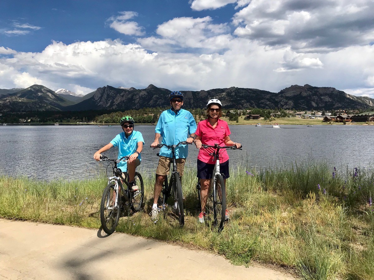
On Saturday morning we drove to downtown Estes Park and then road our bicycles on the four-mile path around Lake Estes. Along the way we spotted an eagle on the top of a power line tower. What a beautiful day for a ride!
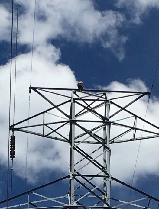
Not the best picture with an iPhone, but that’s all we had.
Saturday night we enjoyed a delicious dinner and an entertaining evening at the Lazy B Chuckwagon Dinner & Western Show.
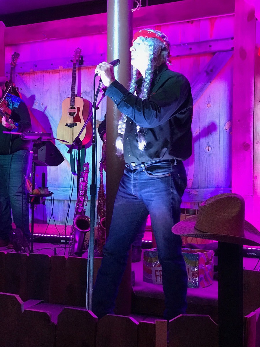
Michael J was great at impersonating various singers. Here he is doing Willie Nelson, but in the song where he sang both Edith and Archie Bunker, he was hilarious!!
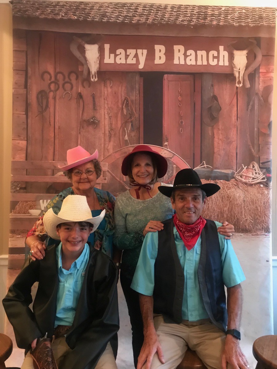
We missed getting Bob in the picture, but here we are with Donna playing dress up!
-
Colorado Springs - Pikes Peak and Garden of the Gods
Today we drove from Lakewood, CO to Colorado Springs. The skies were a beautiful blue and the temperature was 81 degrees when we started our drive up the Pikes Peak Toll Road. By the time we got to the top, the temperature was 41. At a height of 14,115 feet, Pikes Peak is one of the 53 mountains in Colorado whose height is above 14,000 feet. The past times when we visited Pike’’s Peak we were able to drive all the way to the top. Since they are building a new visitors center at the top and the construction equipment and building supplies take up most of the parking area, we had to park at mile 16 and ride a shuttle to the top.
On the drive up we spotted a few marmots and a heard of mountain goats right beside the road, but unfortunately I didn’t get a picture.
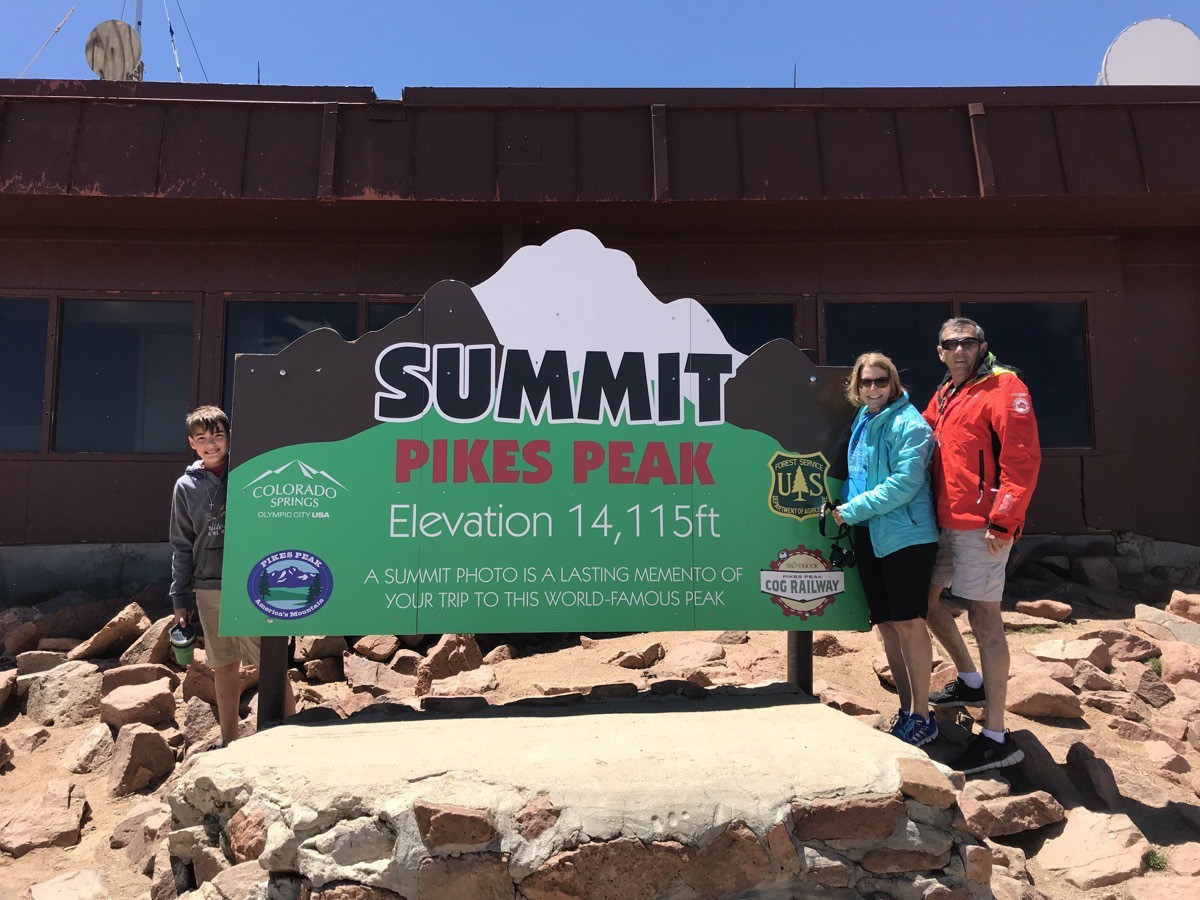
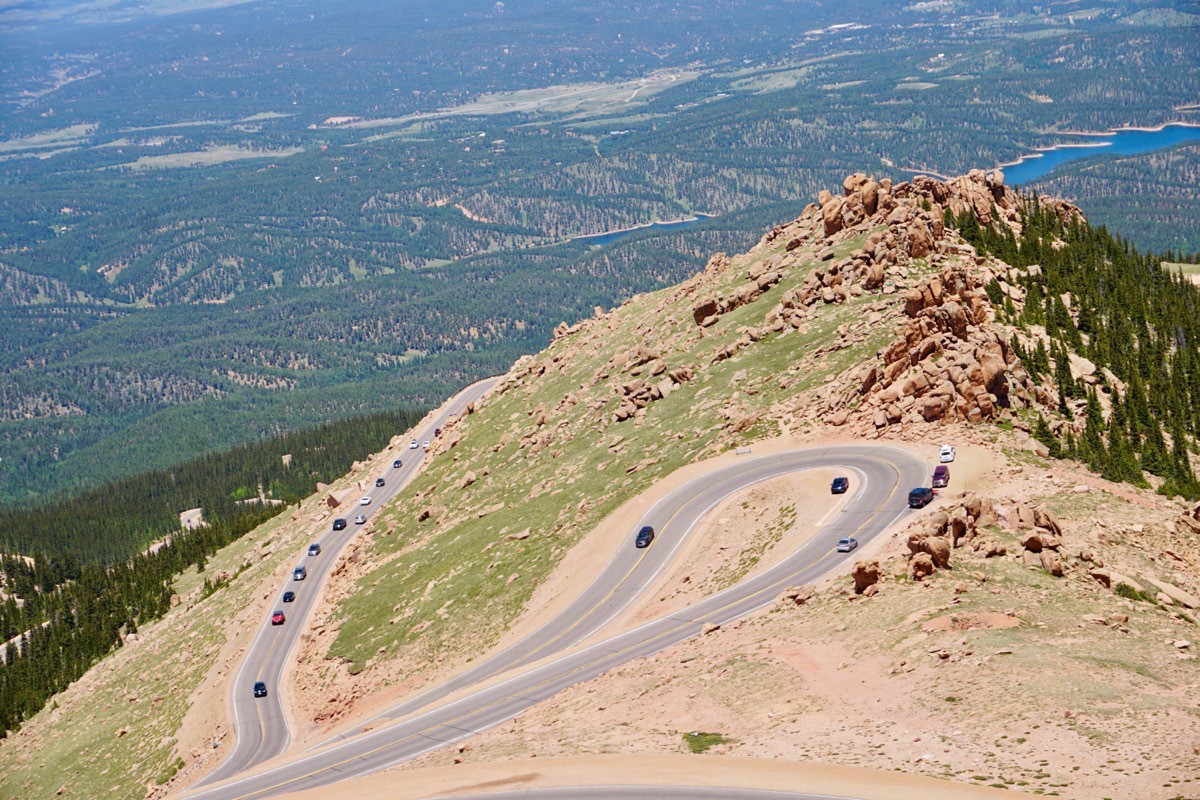
The Pikes Peak International Hill Climb also known as The Race to the Clouds, is an annual automobile and motorcycle hillclimb to the summit of Pikes Peak. The track measures 12.42 miles and has over 156 turns, climbing 4,720 ft from the start at Mile 7 on Pikes Peak Highway, to the finish at 14,110 ft on grades averaging 7.2%.
The fastest time was 7:57.148 set in 2018 by Romain Dumas.
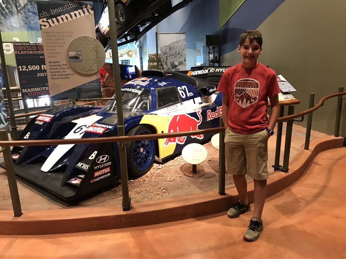
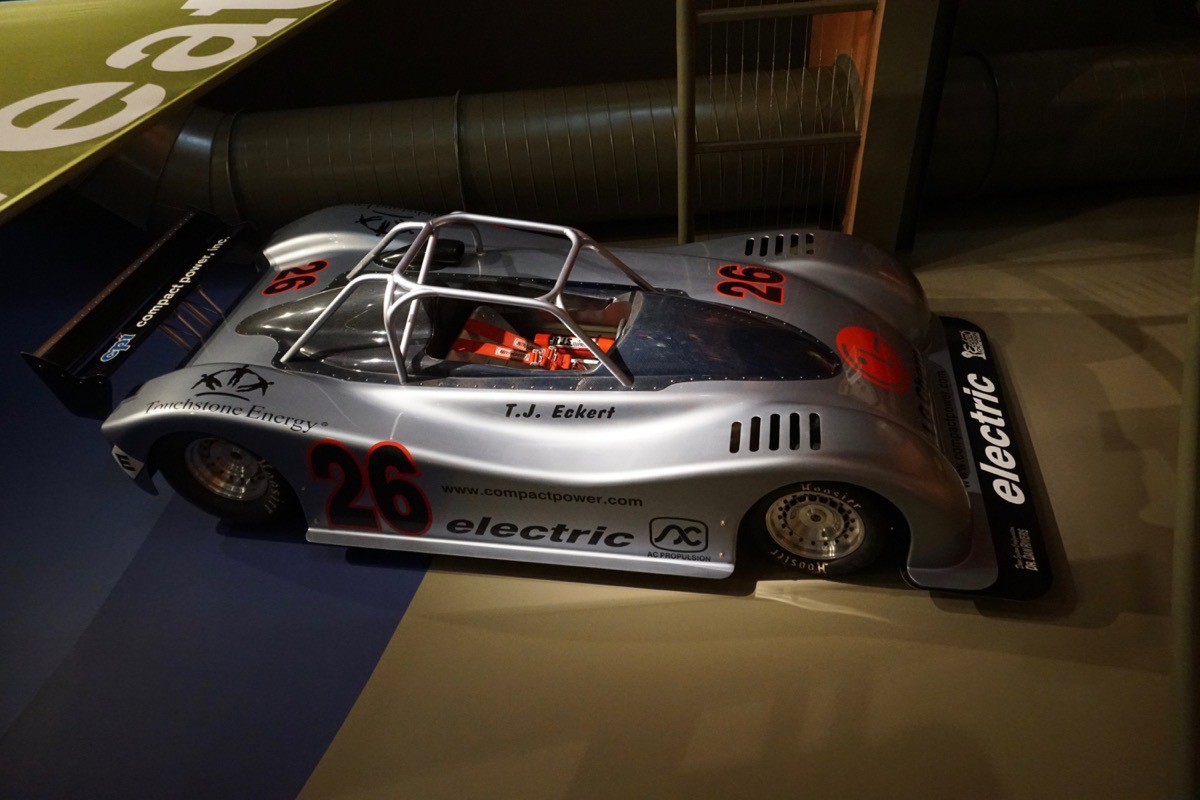
We stopped at the Broadmoor Resort Museum after leaving Pikes Peak and saw several cars that were past winners.
Garden of the Gods
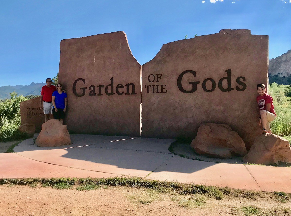
The park was given to the city of Colorado Springs in 1909 by the children of Charles Elliot Perkins in the fulfillment of his wish that tit be kept forever free to the public. It was designator as a national landmark in 1971.
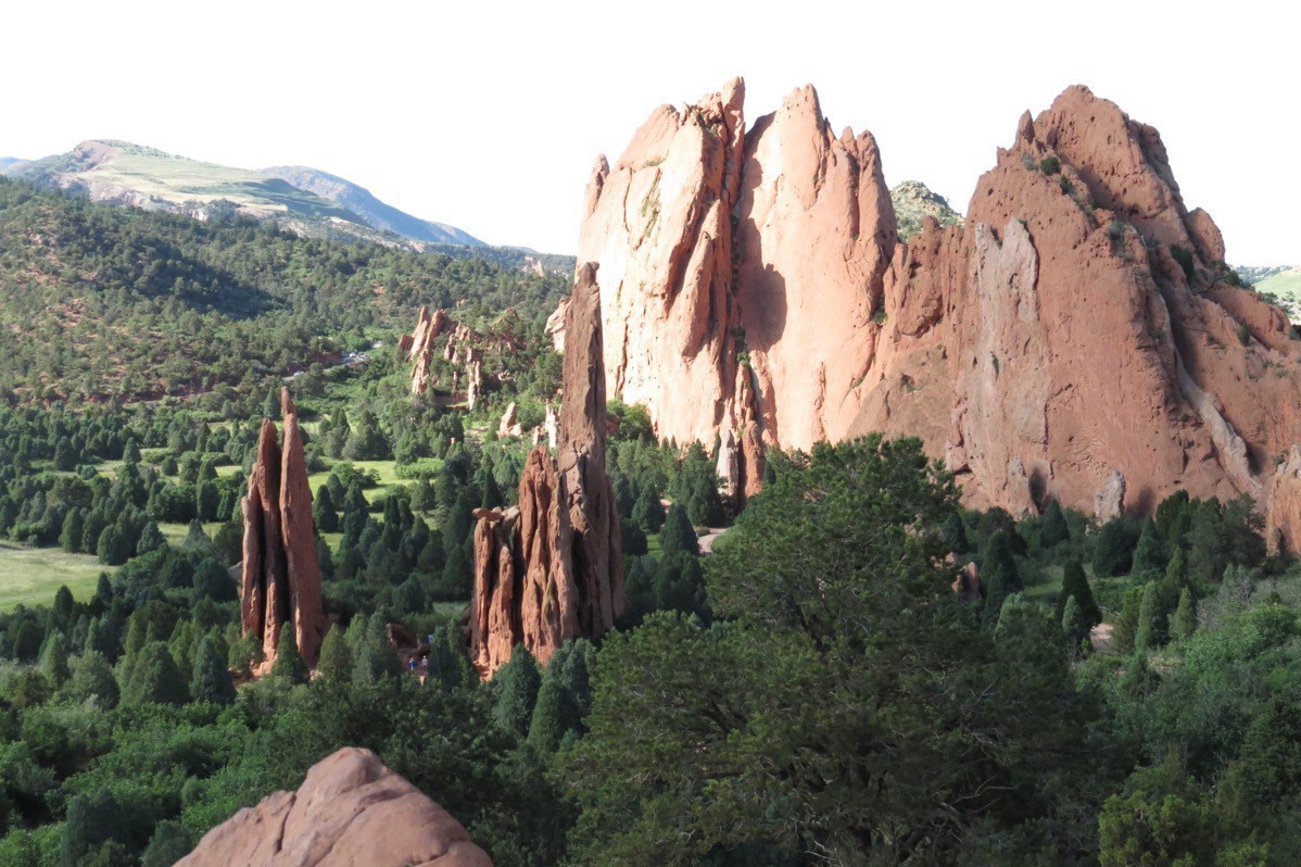
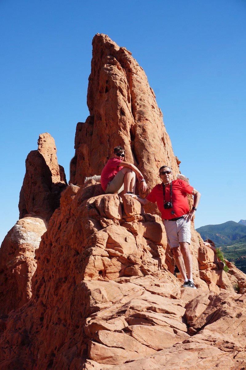
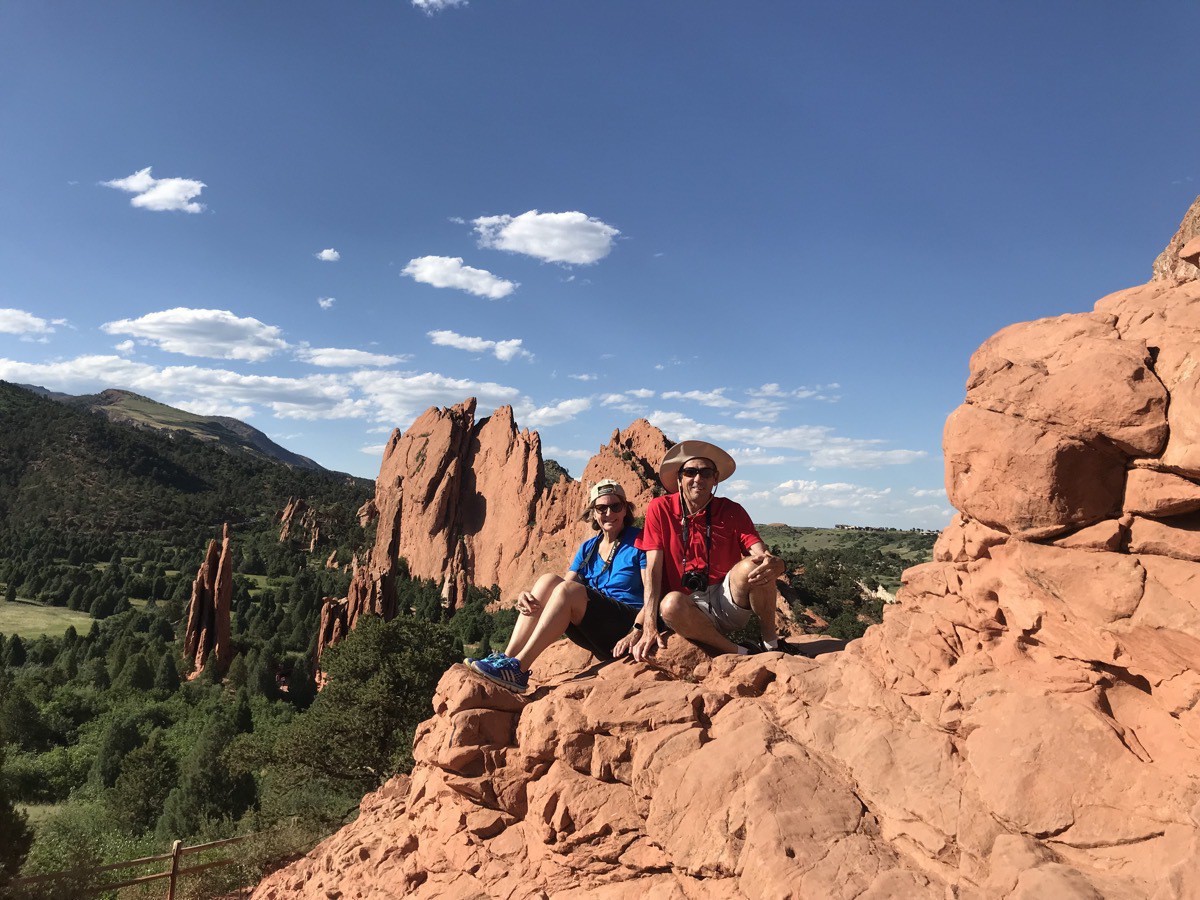
Fargos Pizza
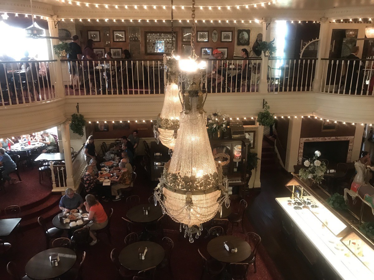
Our last stop for the day was dinner at Fargos Pizza, the fanciest pizza parlor I’ve ever seen. The restaurant is two stories with red velvet valances above the windows, chandeliers hanging from the ceiling and a player piano. The waittresses are all dressed in Victorian long gowns and the guys in red vests and bow ties.
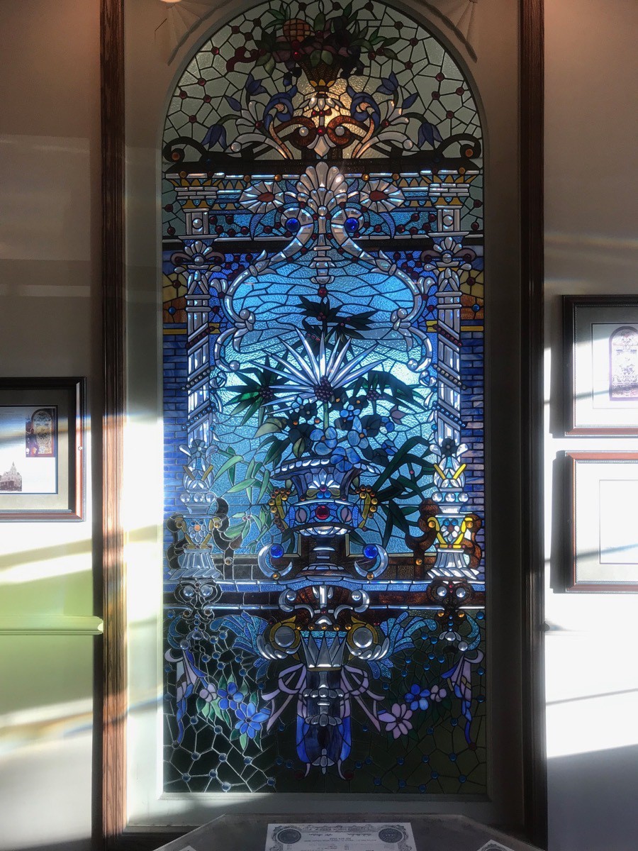 A beautiful stained glass window at Fargos Pizza.
 -
Terry Bison Ranch, Cheyenne, WY
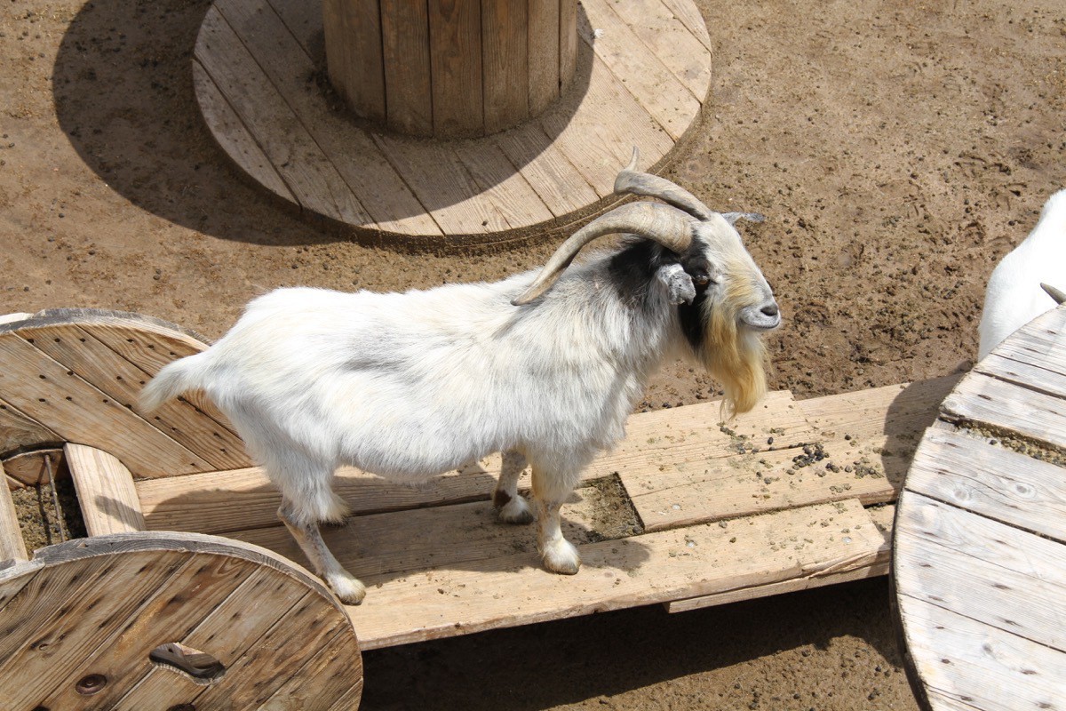
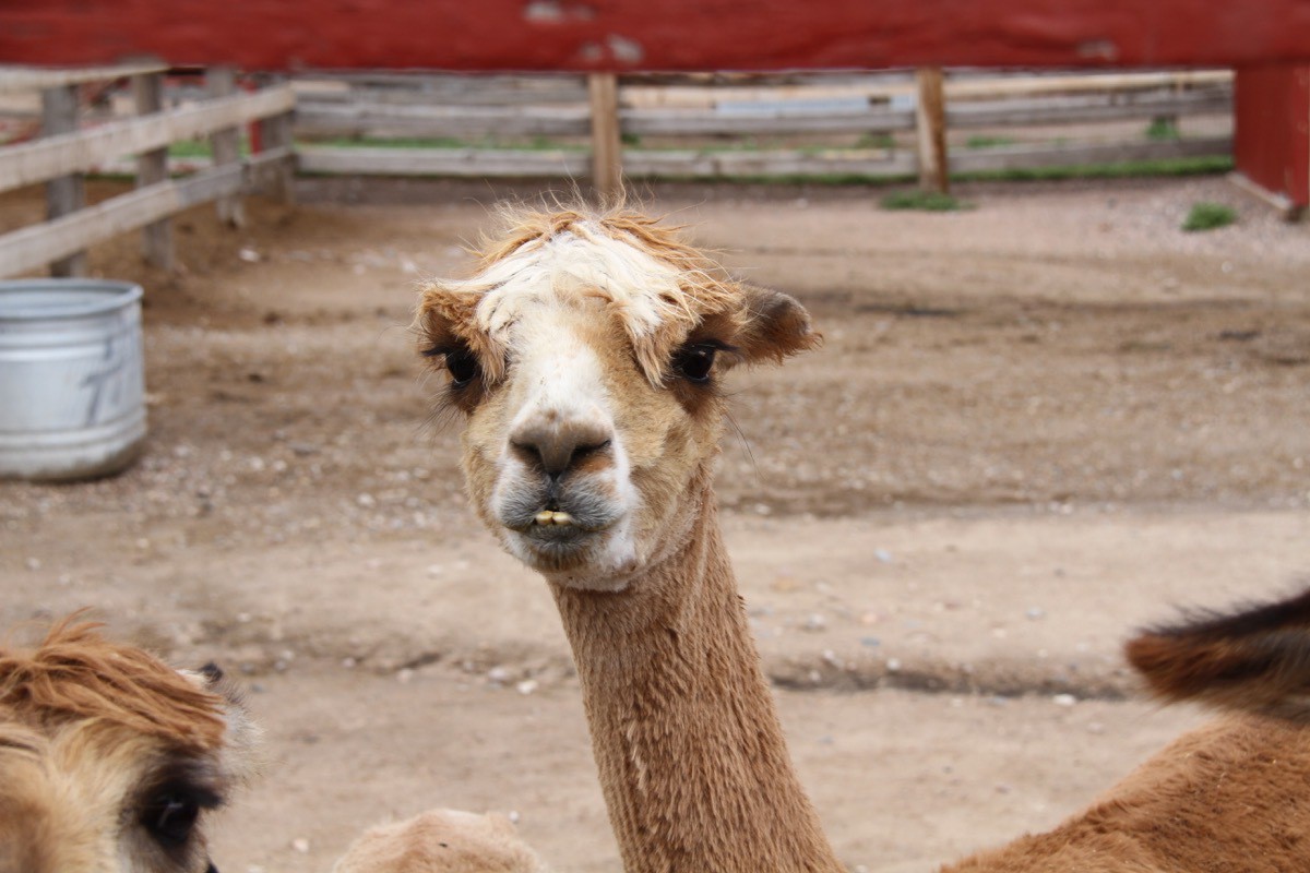
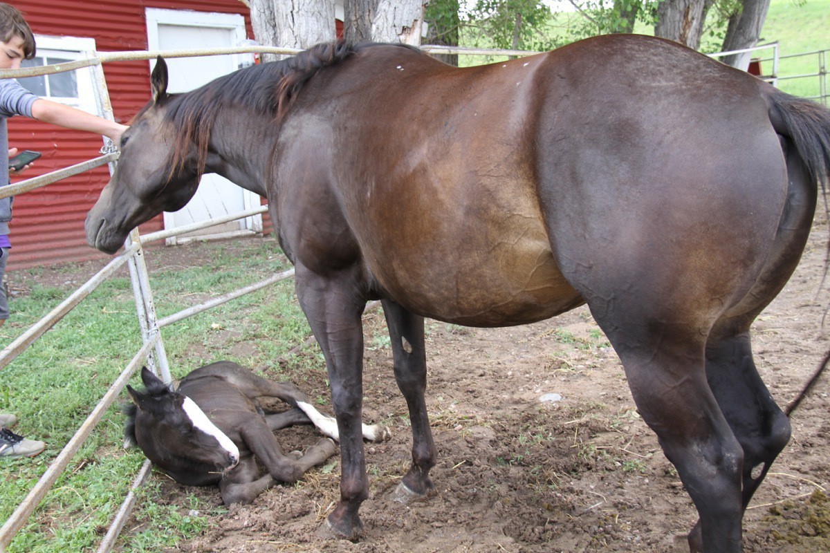
This morning we boarded the little tourist train on the Terry Bison Ranch and took a ride to see and feed all the bison, camels, and other animals that live on the ranch. Along the way we were able to hand feed the bison!
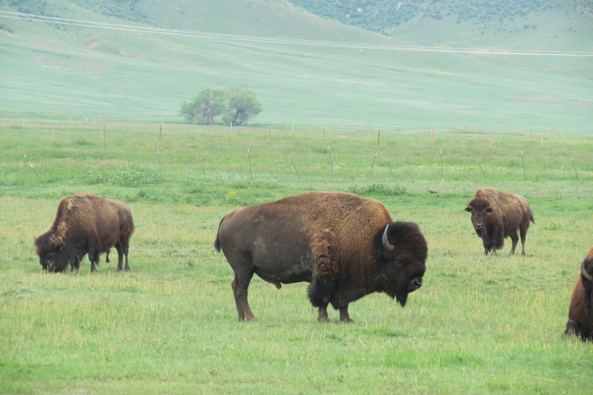
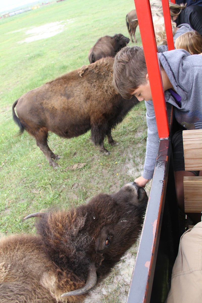
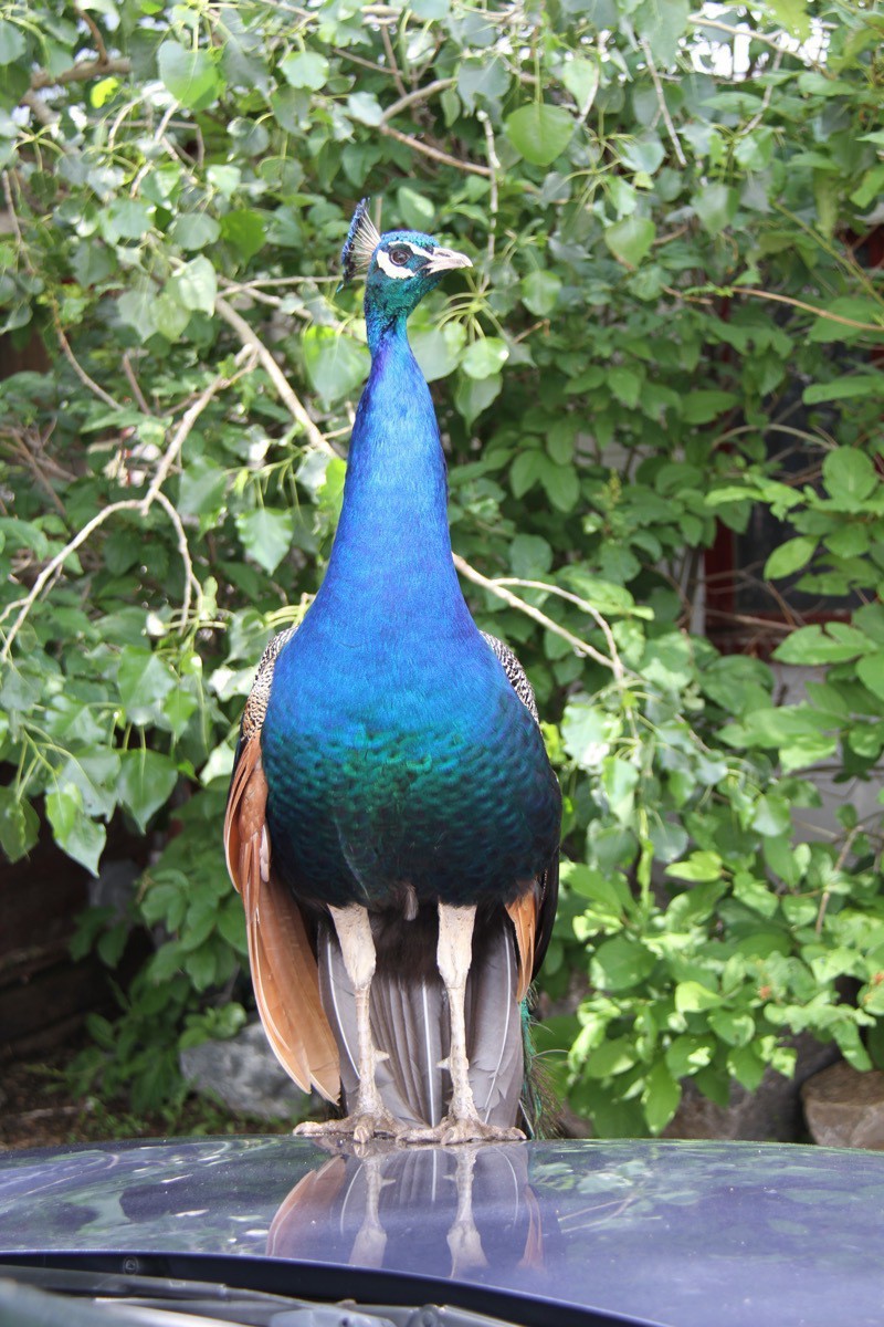
Our new hood ornament
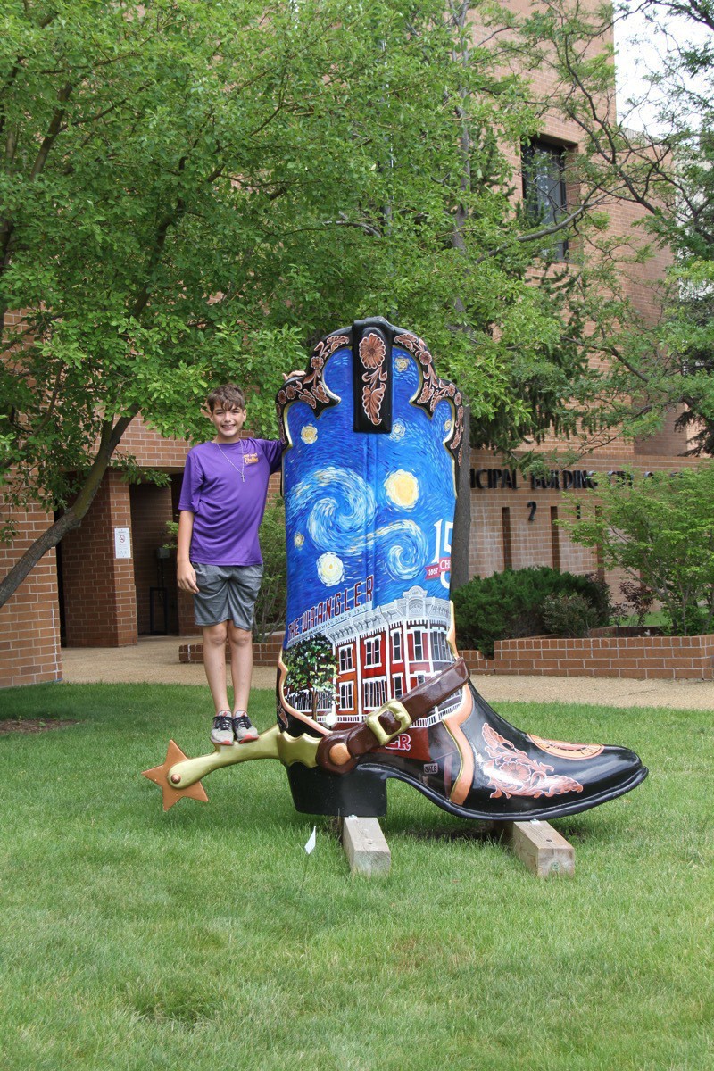
These Boots Are Made for Talking, Cheyenne
These Boots Were Made for Talking are on display in Cheyenne, Wyoming. These boots are each 8 feet tall and if you call 407-316-0067 and enter the boot number when prompted followed by the #, you can hear the artist narratives.
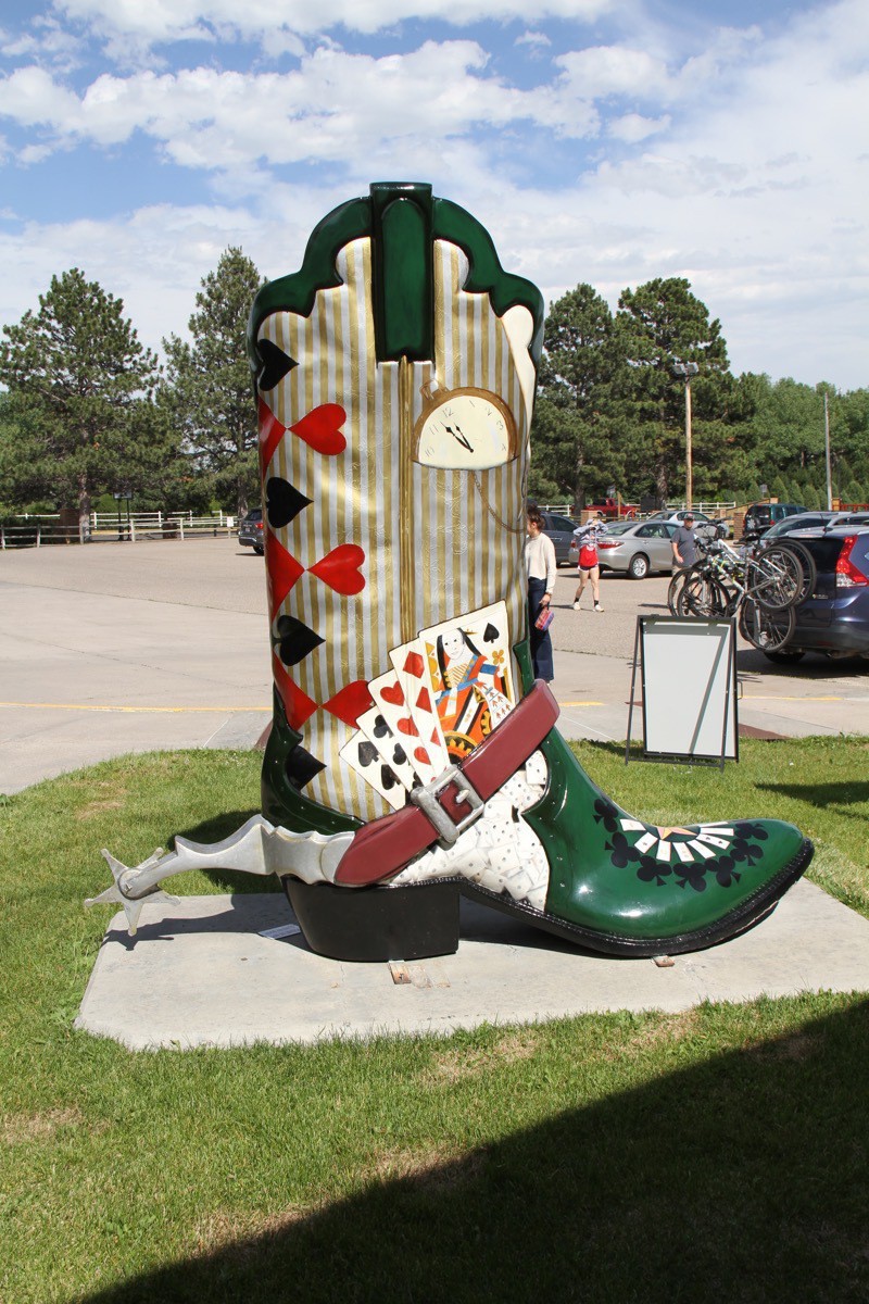
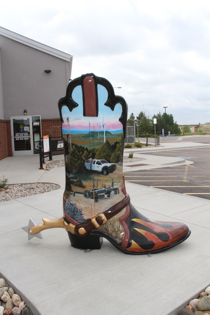
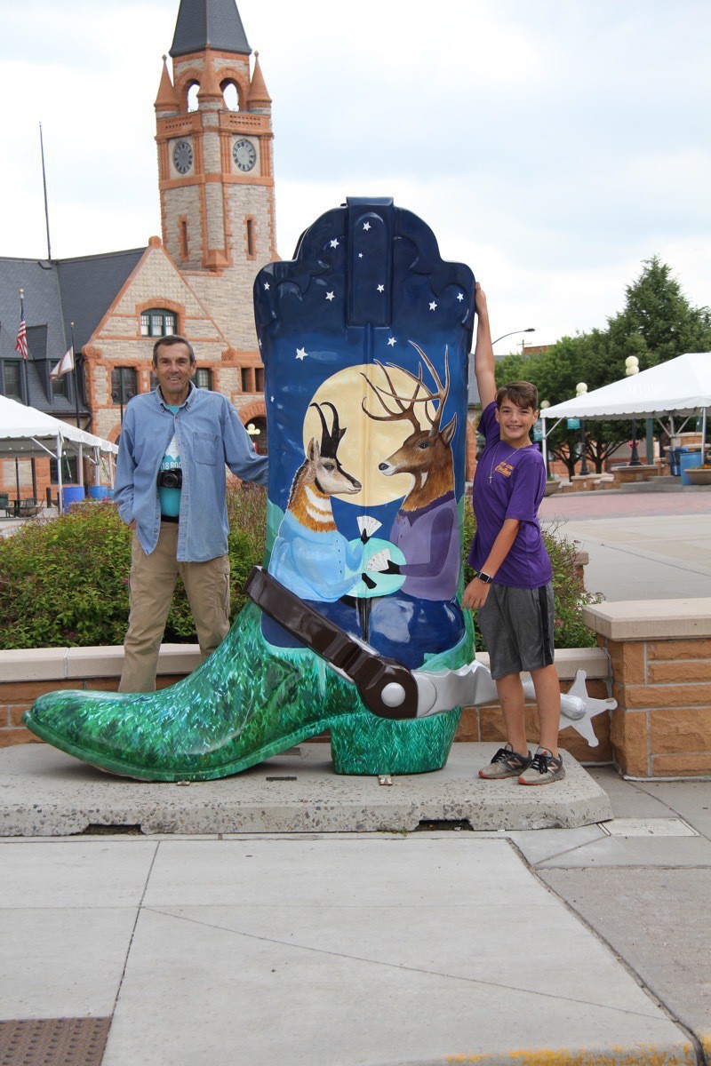
Where the Deer and the Antelope Play
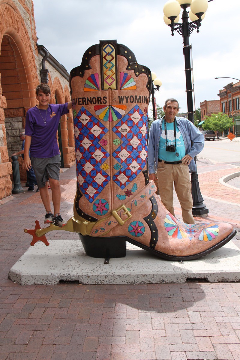
Governors of Wyoming
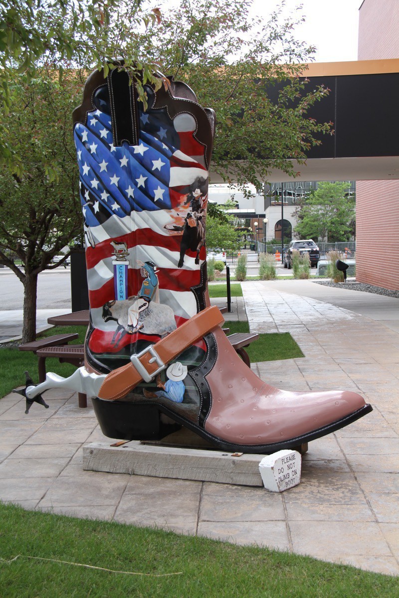 8 Second Steps to the Big Time
 -
Rapid City to Chimney Rock
Hart Ranch
We spent six days at Hart Ranch in Rapid City and had a wonderful time. We enjoyed walking around the campground, swimming, sitting in the jacuzzi, riding bikes and relaxing. Ben really enjoyed all the amenities at Hart Ranch and found lots of friends to play with. He did the BMX track on his bicycle , played putt putt, foosball, air hockey, and spent a morning a kids camp.
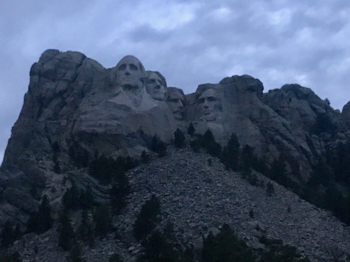
On July 3 we drove to Mt. Rushmore in the evening because we had heard that it was really amazing to see it lit up at night. I was expecting laser lights or some colored lights, but after listening to a 20 minute oral presentation, flood lights illuminated the four presidents. My advice would be to go during the day when the skies are a beautiful blue and all of the area is open for walking around.
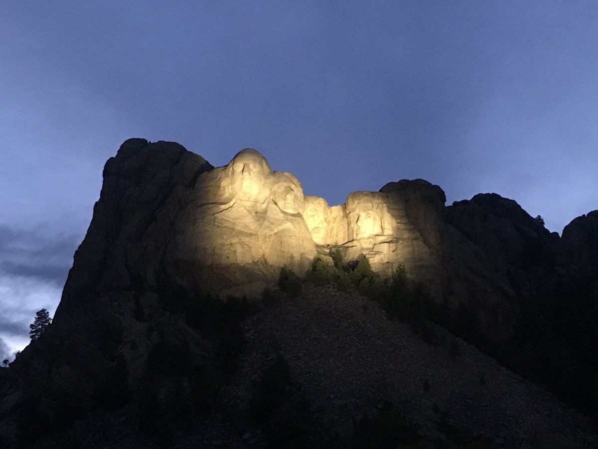
On July 4 it was great weather to participate in activities around Hart Ranch. We went into Rapid City in the evening for dinner, a shopping trip to Walmart, and were hoping to see the fireworks. While in Walmart the skies opened up and we were caught in a torrential downpour!!! Blinding rain and high winds. No fireworks, of course, and a scary ride back to Hart Ranch.
Chimney Rock
On July 5 we left Rapid City and headed for Chimney Rock, Nebraska. Chimney Rock is a prominent rock formation in western Nebraska. It is 300 feet above the North Platte River valley. Chimney Rock served as a landmark along the Oregon Trail, the California Trail, and the Mormon Trail during the mid-19th century. The trails ran along the north side of the rock, which remains a visible landmark for modern travelers along U.S. Route 26 and Nebraska Highway 92.
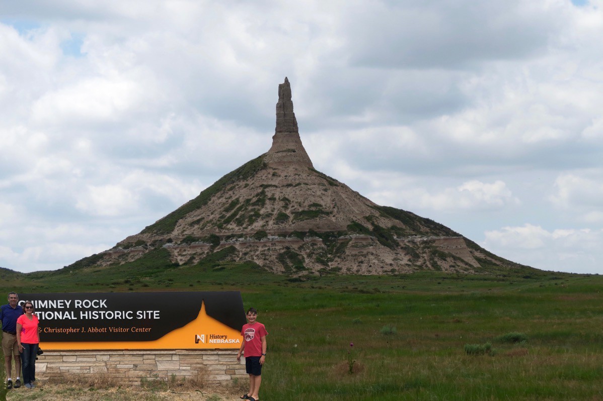
A picture of us by the visitor’s center sign transposed in front of Chimney Rock
We were not able to walk up to the rock or get any closer than the Visitor’s Center which was disappointing, because apparently we would have to cross private land to get any nearer.
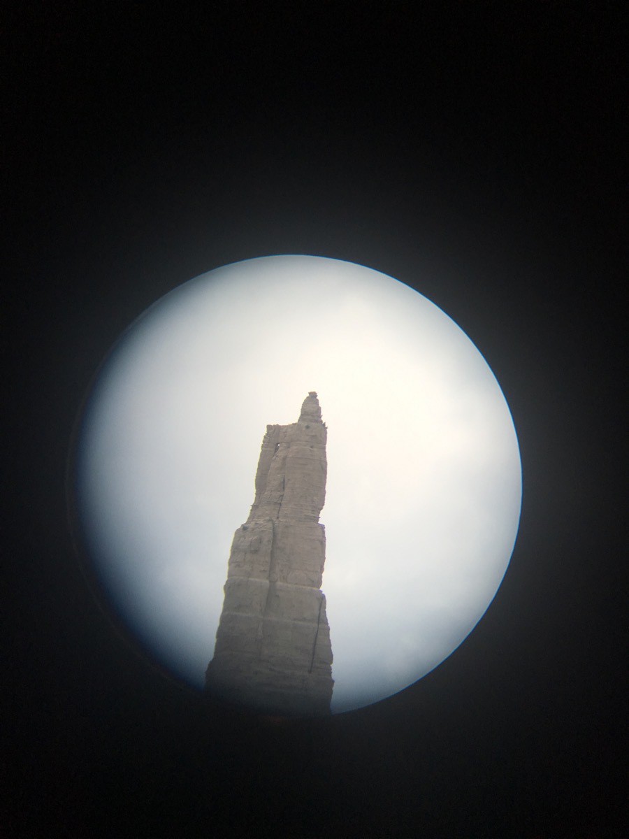
The top of Chimney Rock taken with the iPhone through a telescope we could look through
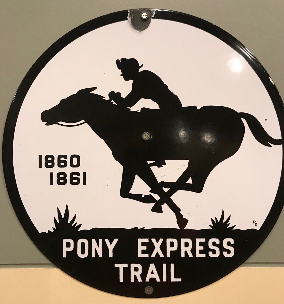
The Chimney Rock Museum had an interesting video about the history of Chimney Rock the pioneers who headed west and the Pony Express. It was interesting to read that the Pony Express only lasted 18 months. Tom and I both remembered learning about the Pony Express in elementary school, but both of us were under the impression it lasted longer that eighteen months!
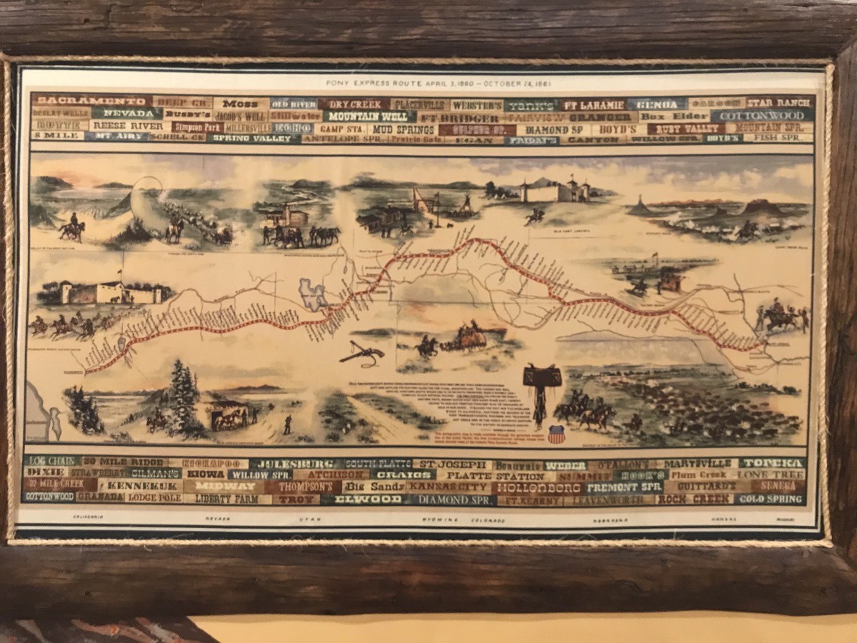
The Pony Express Trail
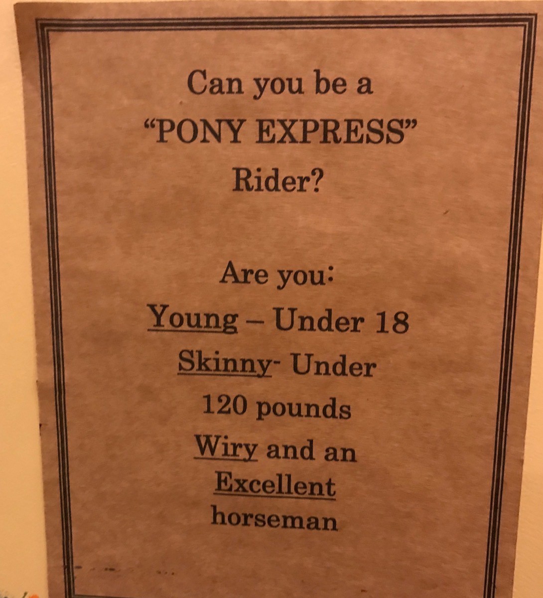
Those riders were some skinny guys. Ben weighs exactly 120 pounds! I wonder how young was young???
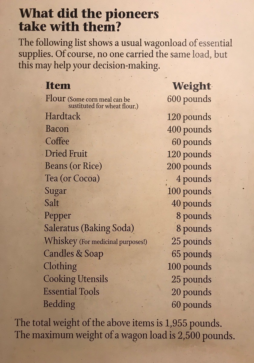
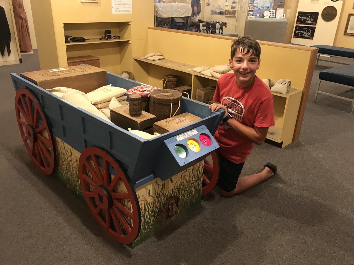
There was also an interactive display for kids to load a wagon with the necessary provisions to make the trip westward. Ben loaded the wagon with the provisions he wanted to take and the lights on the back display when his load was too heavy.
We arrived at Terry Bison Ranch in Cheyenne, Wyoming in the evening, ate dinner and then walked down to see the animals.
Trip Data
- Miles driven today: 313
- Total miles driven: 3,226 in Big Hat and 1,493 in the CRV for a total of 4,719 miles
- Gas today was $2.729 a gallon for a total of $144.7
-
Devil's Tower, WY (Day 33)
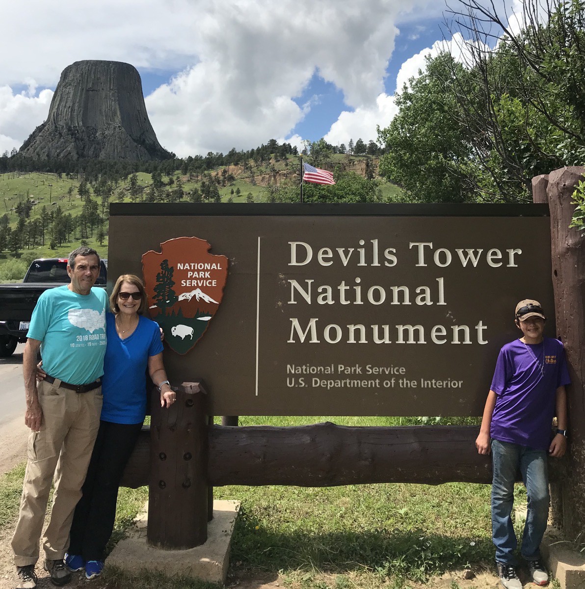
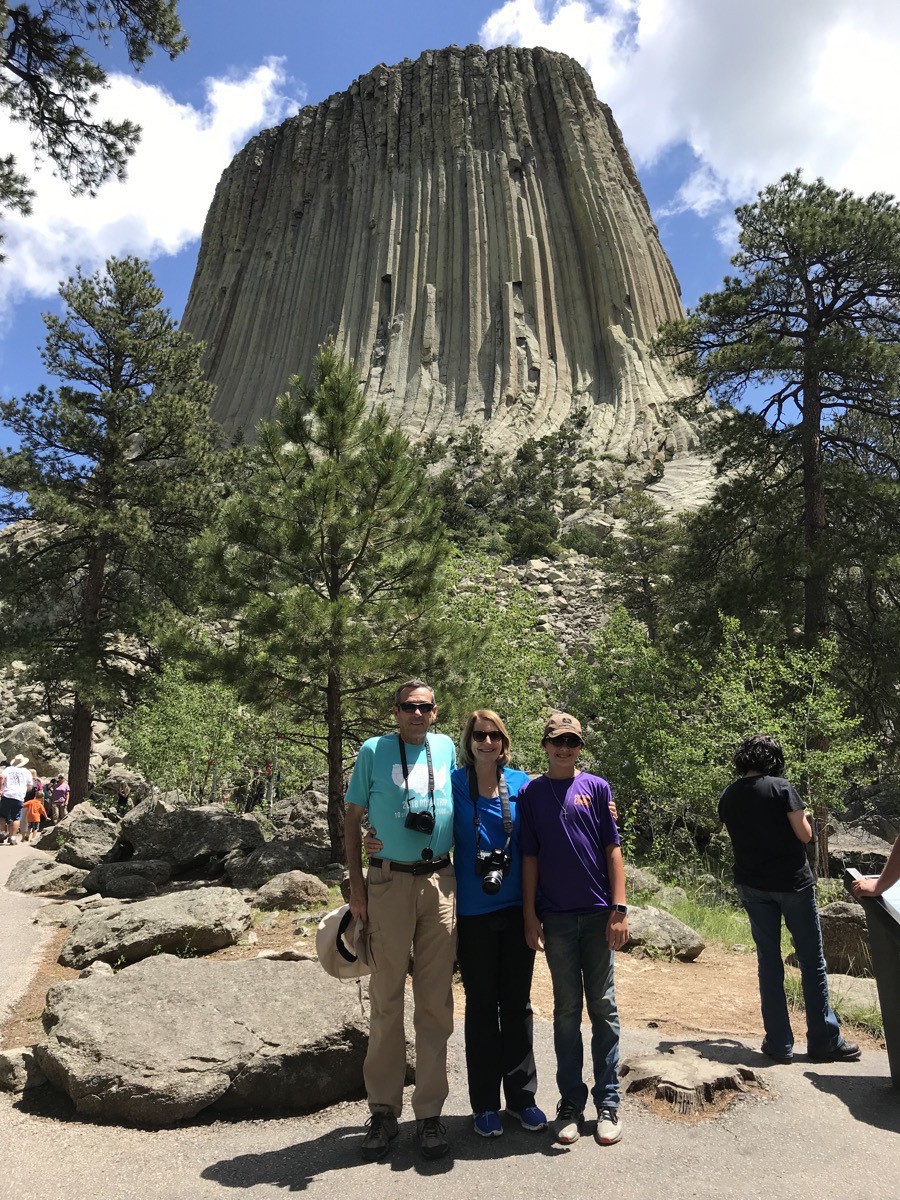
Today we made a 250 roundtrip drive from Rapid City to Devil’s Tower, Wyoming and back.
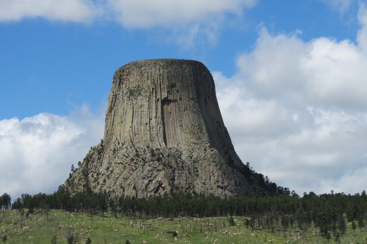
Devil’s Tower was designated as America’s First National Monument by President Theodore Roosevelt in 1906. The Tower is 867 feet tall from the visitor center to the summit. The monument covers 2.15 square miles. The top of the Tower is about 1.25 acres and covered in plants.
According to the Devil’s Newspaper published by the National Park Service, there are between 4,000-5,000 climbs of the Tower every year. A technical rock climb to the summit of the Tower takes an average of 5 hours; times vary between 18 minutes and 16 hours!!!!
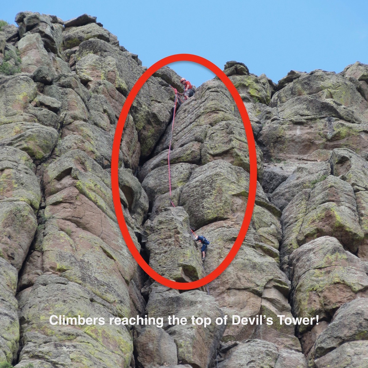
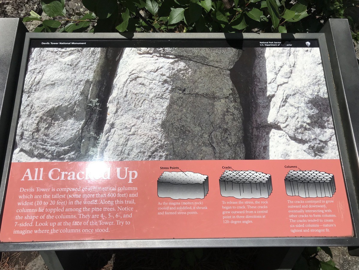
Devil’s Tower is composed of symmetrical columns which are the tallest (some more than 600 feet) and widest (10 to 20 feet) in the world. Along the trail that we hiked, columns lied toppled among the pine trees. Although there is evidence of fallen columns are around the base, the exact date of the last major column fall is unknown. No one in recorded history has seen one of those giant rocks fall from the Tower.
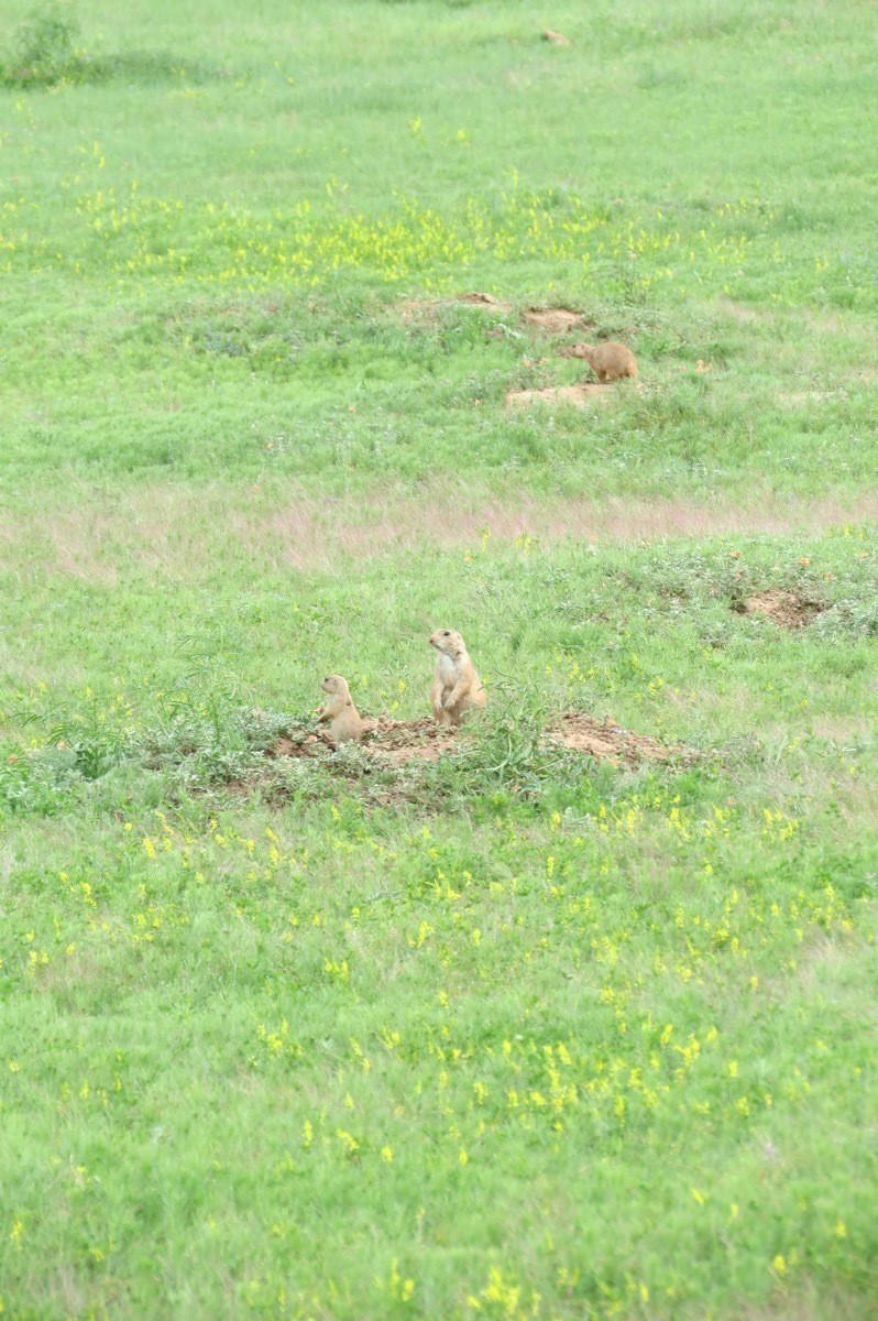
Prairie Dogs
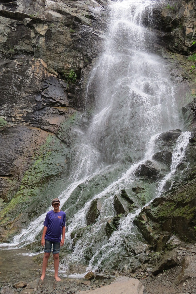
Bridal Falls in Spearfish Canyon
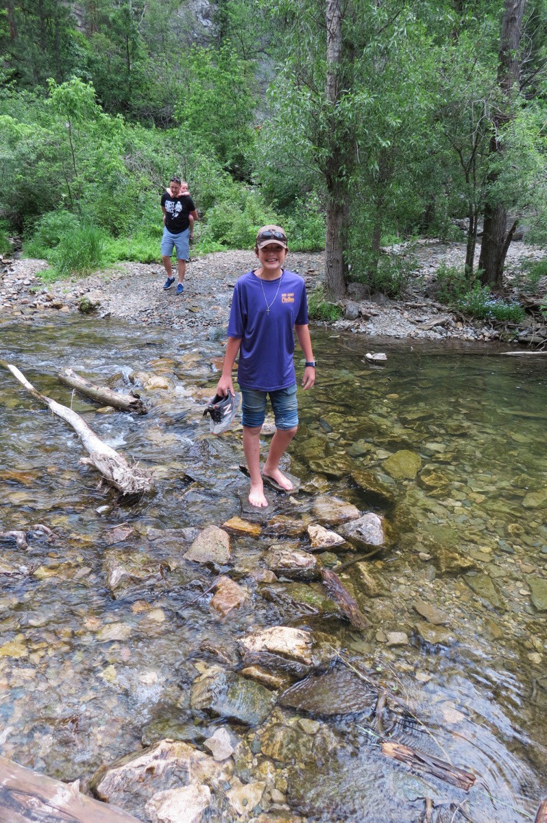
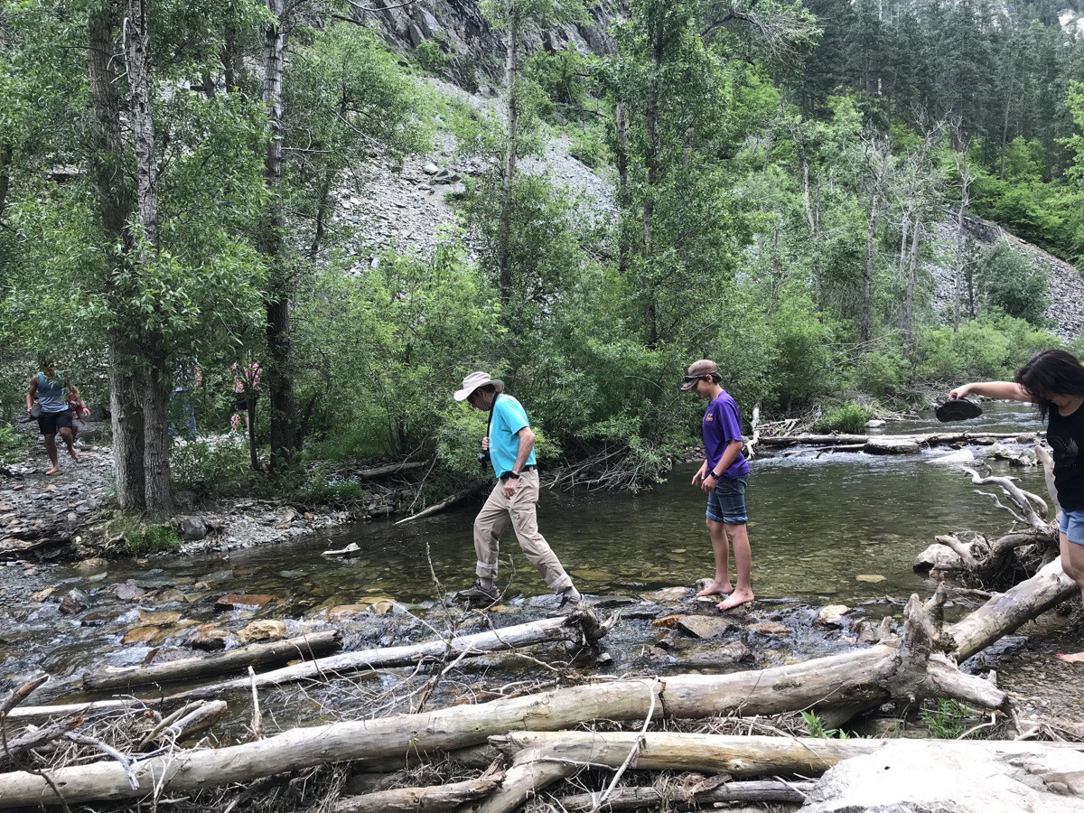
On the way back to Rapid City from Devil’s Tower we stopped at Bridal Falls along the Spearfish Canyon Loop. We hiked across an ice cold little stream to the falls.
Rapid City Bronze Sculptures of the Presidents
The City of Presidents project began in 2000 to honor the legacy of the American presidency. Each of the sculptures was privately funded, and the pattern of placement was chosen to maintain a coherent pattern and eliminate any sense of favoritism. Here are a few of the ones I photographed today.
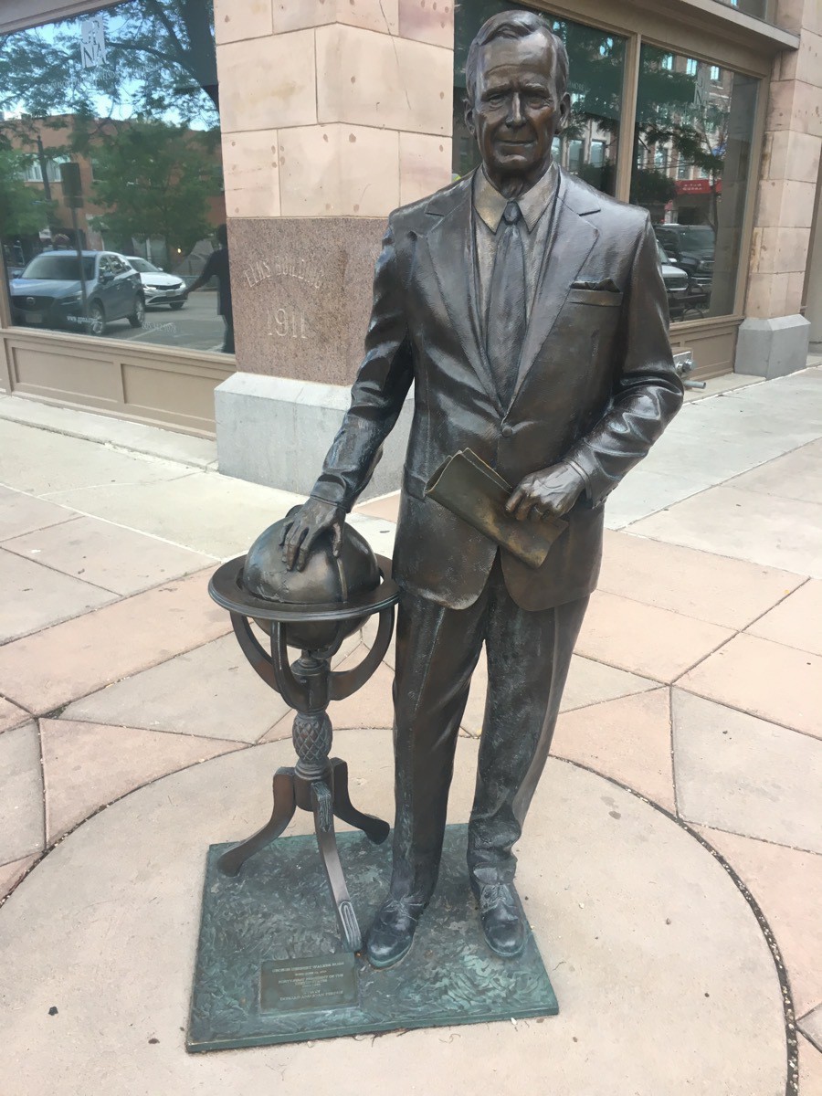
President Bush
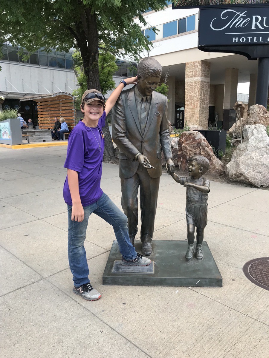
President Kennedy
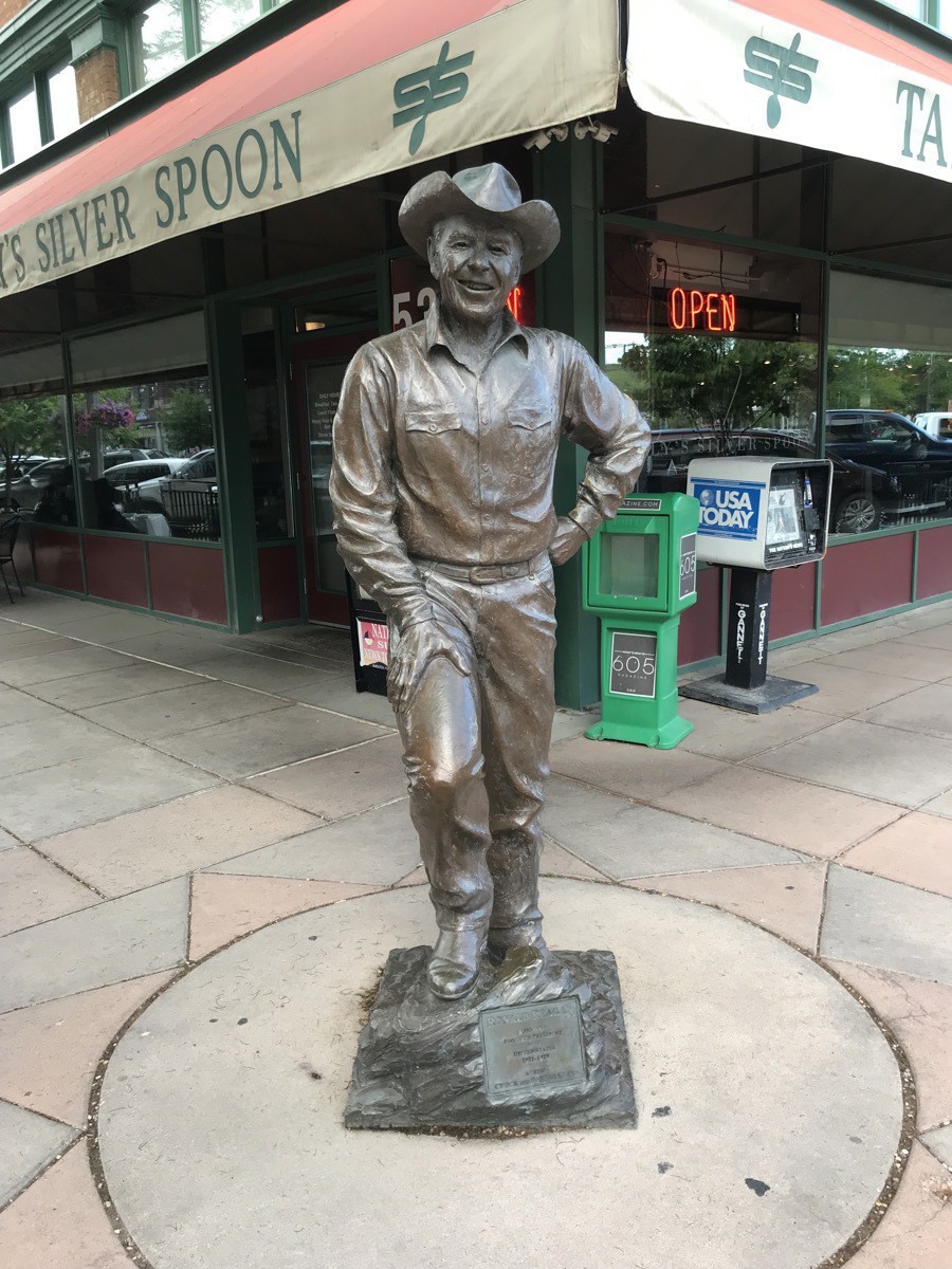 President Ronald Reagan
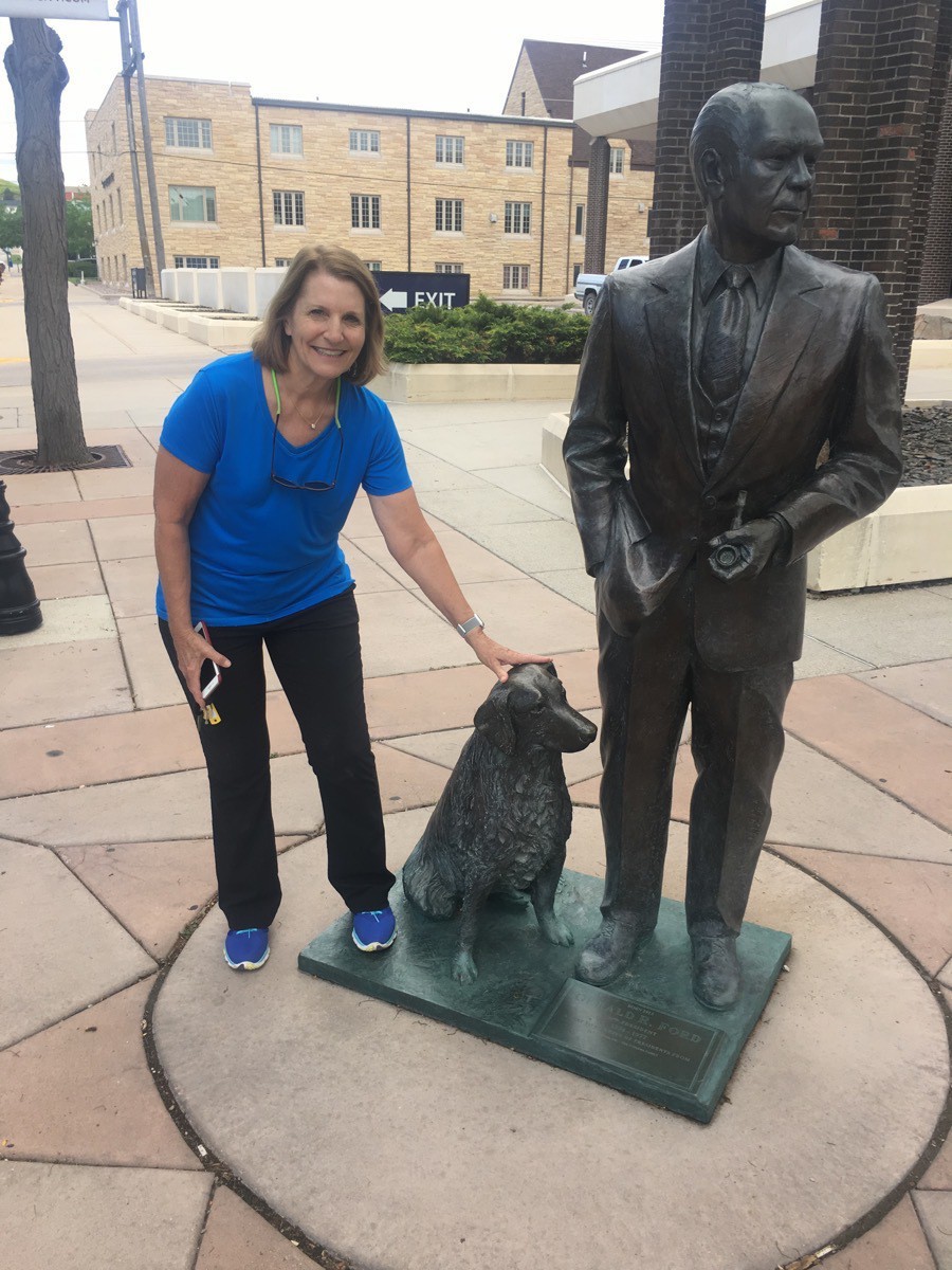
President Gerald Ford
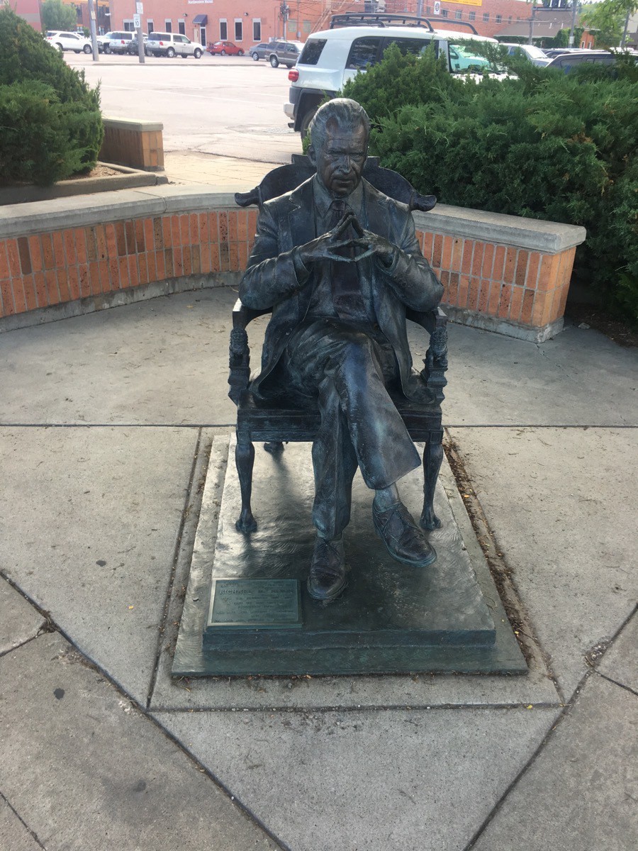
President Nixon
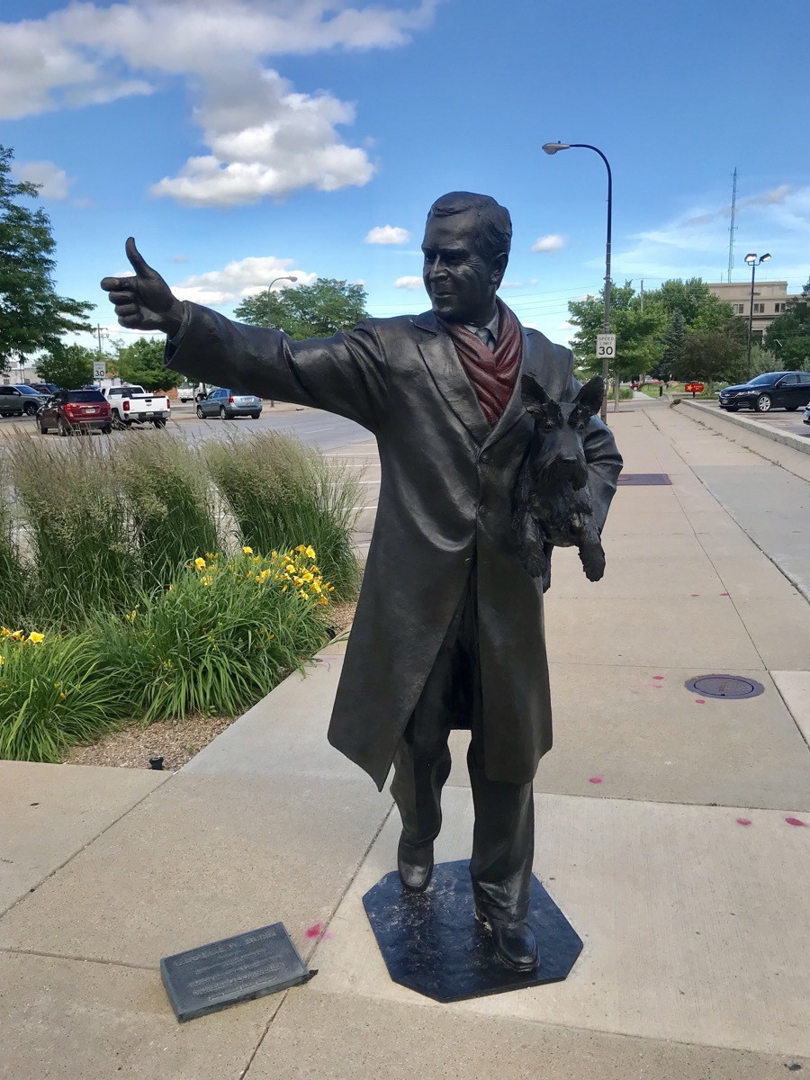 President Bush
 -
Rapid City and Custer State Park (Days 31-32)
Hart Ranch
We arrived at Hart Ranch and were assigned space 33. As soon as we were plugged in and set up, Ben took off on his bicycle to meet some new friends. He spent the afternoon and evening riding on the BMX bike trail, playing foosball and air hockey at the recreation center and swimming at the pool. Tom and I walked and rode our bicycles around Hart Ranch before and after dinner. In the evening Tom and I sat in the jacuzzi while Ben swam.
Custer State Park
Sunday morning we drove to Custer State Park hopping to see bison, donkeys and prairie dogs along the roads within the park (which we didn’t see). We did, however, see a few deer. We drove The Wildlife Loop with no wildlife sightings other than a few deer and some birds.
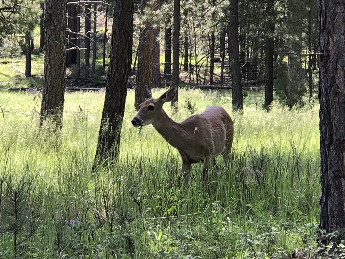
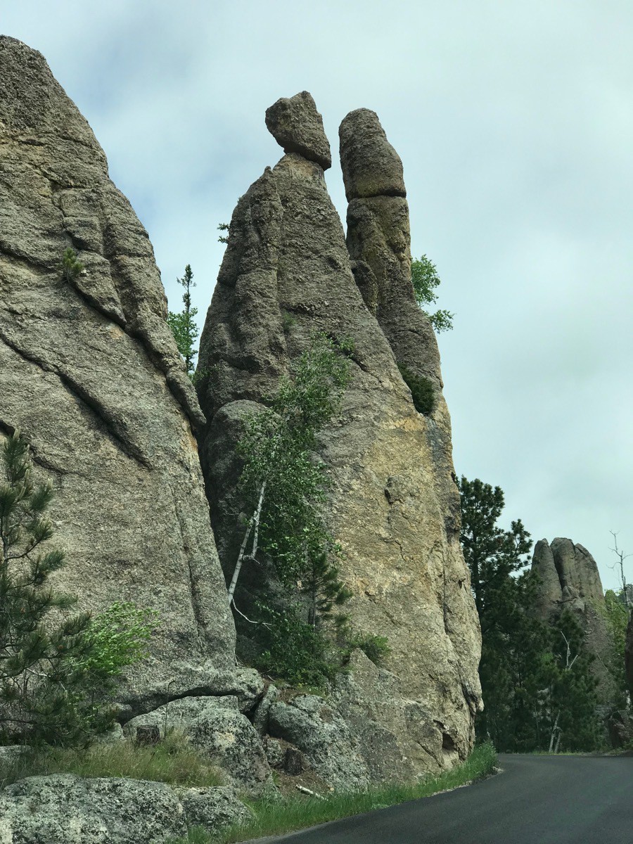
We then drove the Needles Highway within the park which had three narrow tunnels that we drove through. We stopped at several places to hike on the rocks.
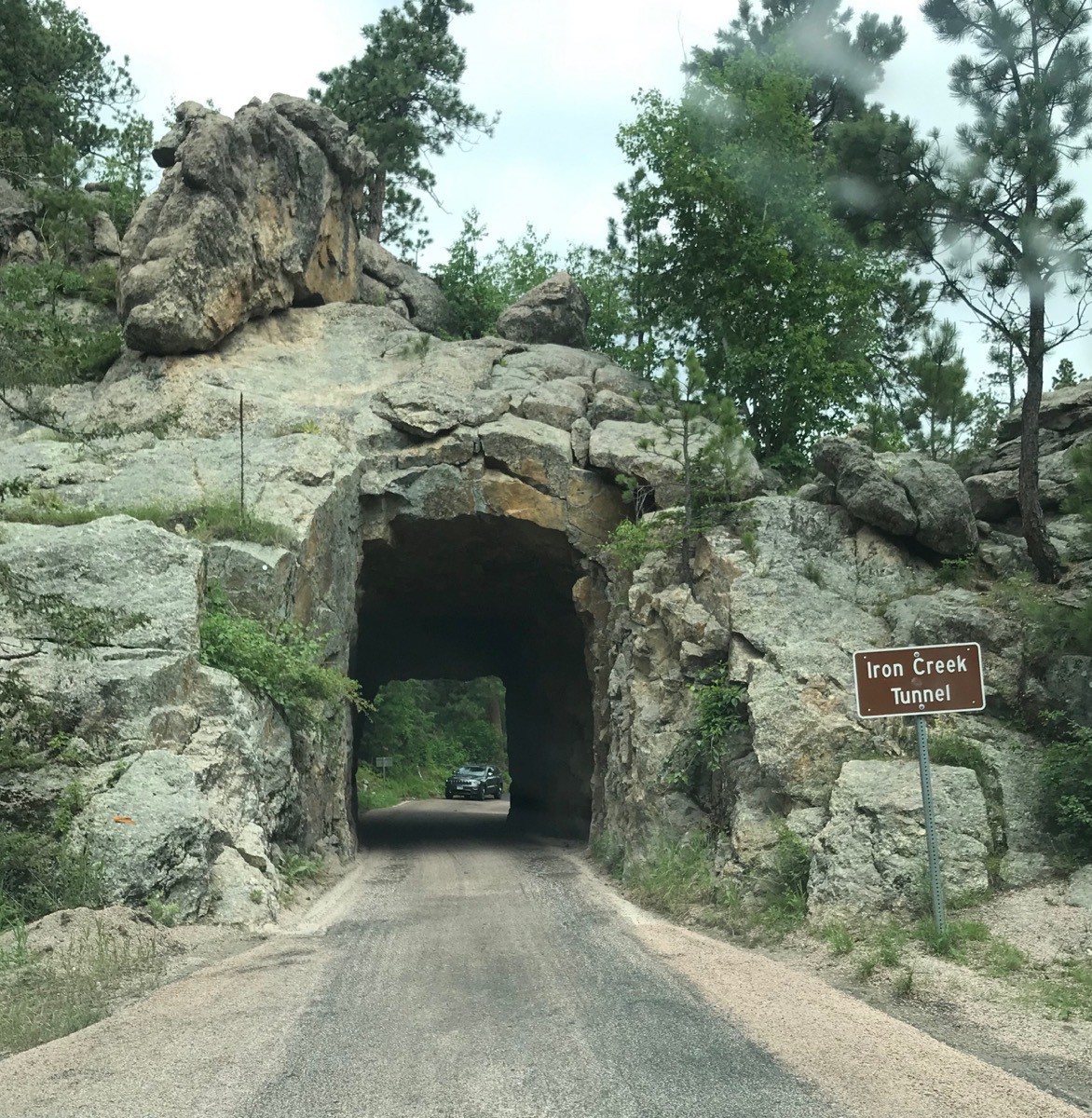
Iron Creek Tunnel
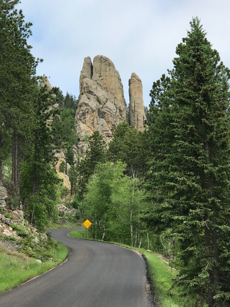
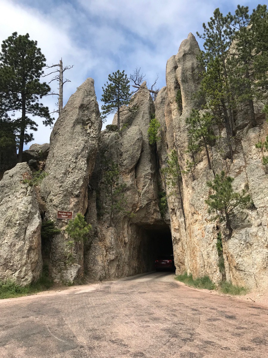 Needles Eye Tunnel
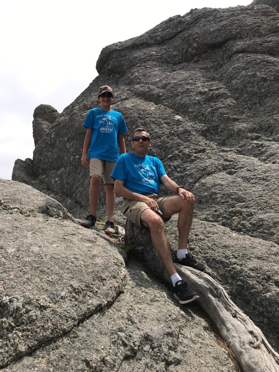
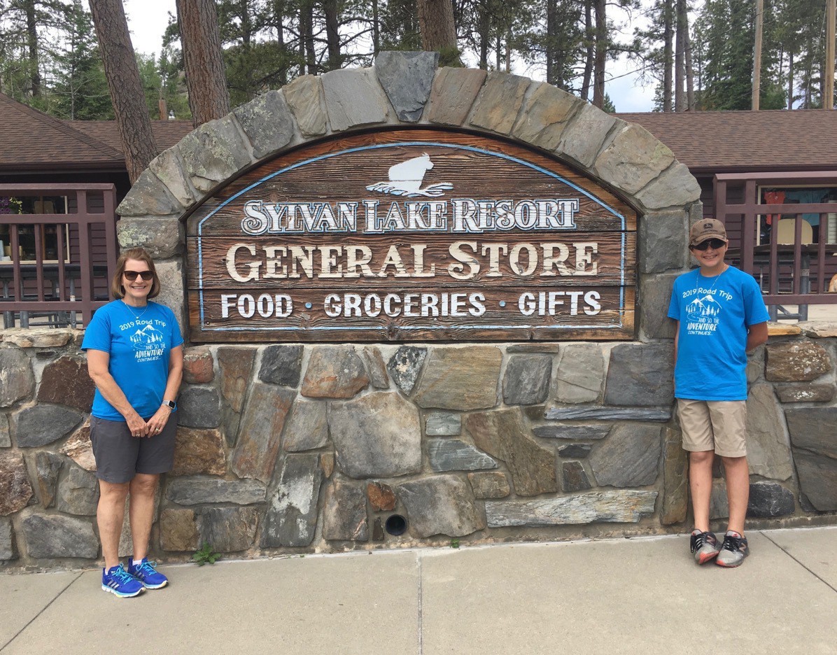
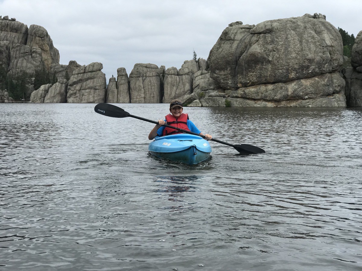
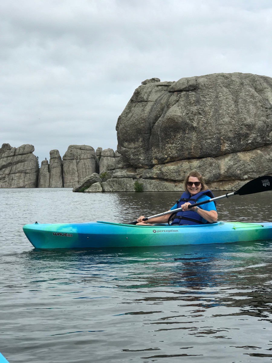
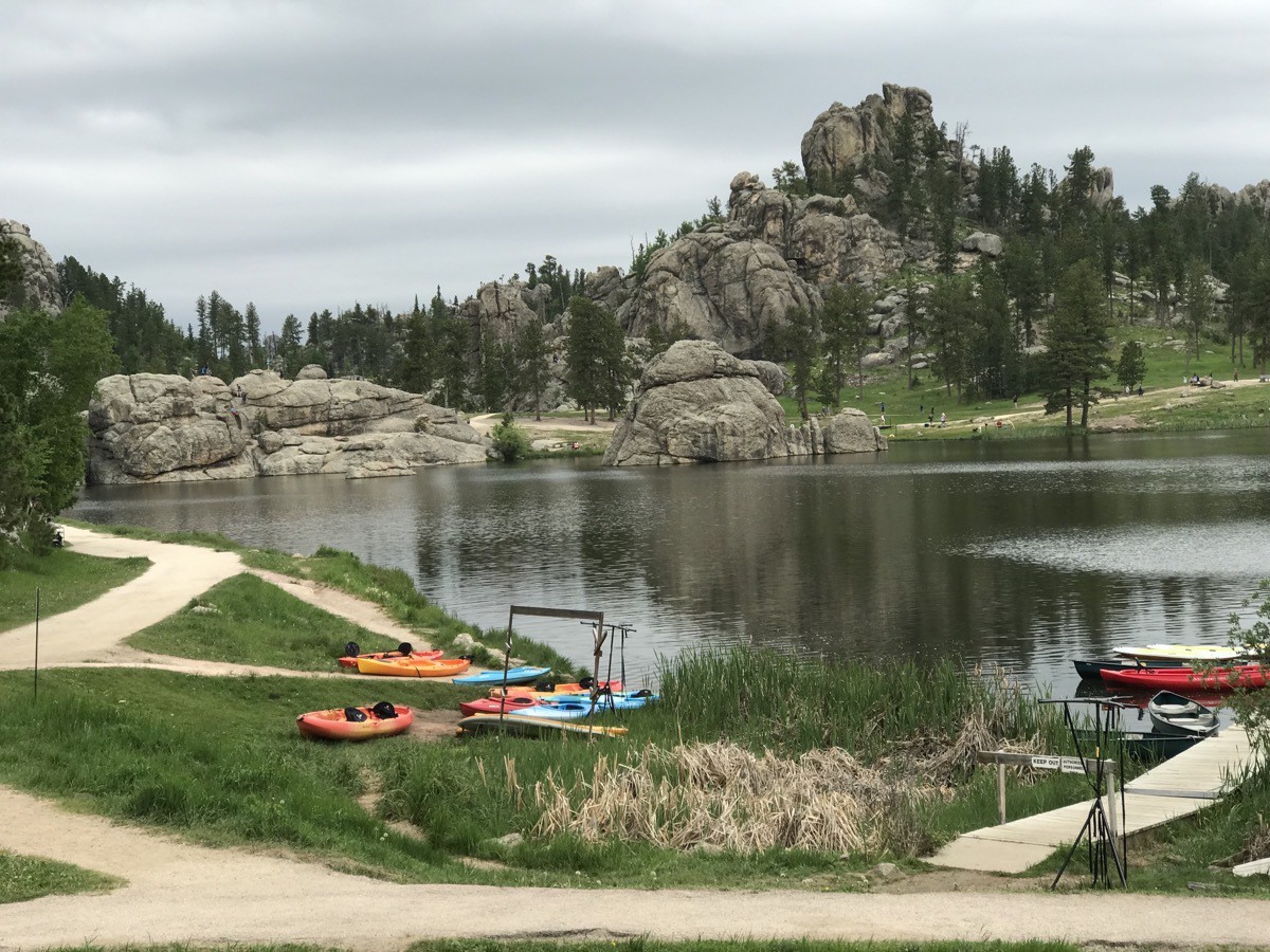
We topped at Sylvan Lake where we ate lunch. Tom walked the trail halfway around the lake while Ben and I kayaked on the lake.
-
Wall Drug and the Badlands (Day 30)
We left Mitchell this morning around 11:00 and had a 222 mile drive to today’s destination —Wall, SD. All along I-90 there are billboards—hundreds of them-advertising for Wall Drug. Wall Drug has become a huge tourist trap in the town of Wall, SD population of 872.
The drug store started in 1931 and struggled to stay open in a town with a population of 300 in the middle of nowhere. After struggling for over four years, the owner added signs along the road offering free ice water to anyone who stopped. Over the years it has grown from that small drug store to the 76,000 square foot tourist trap it is today.
Over 2 million visitors stop each year to get the free ice water and the 5 cent coffee and then spend plenty of money on food and souveneirs.
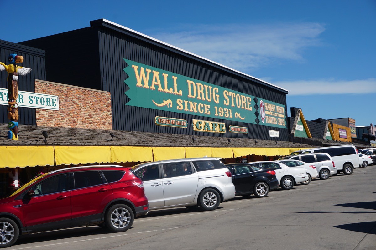
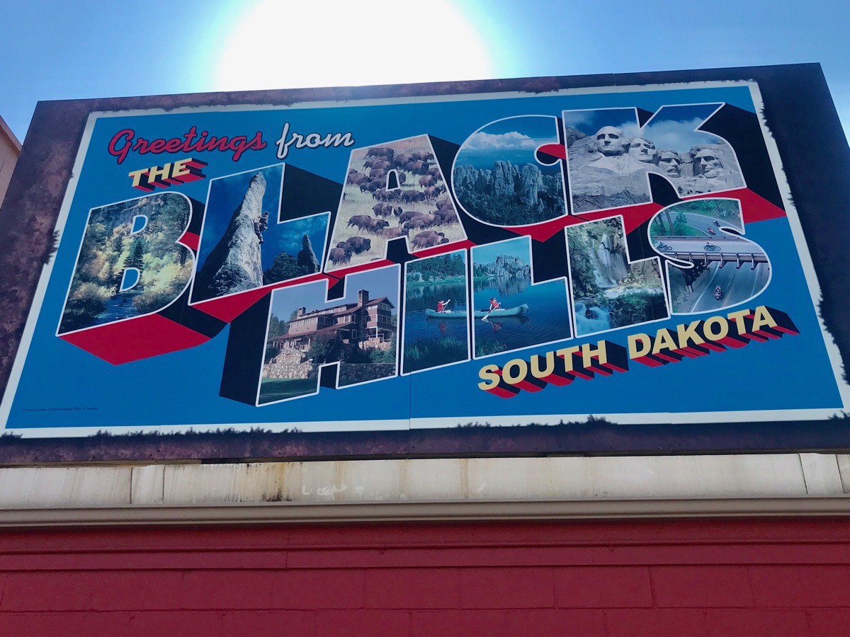
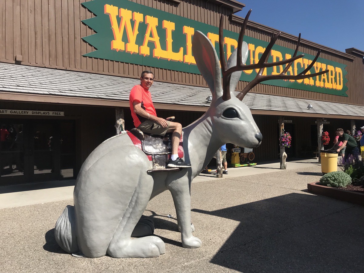
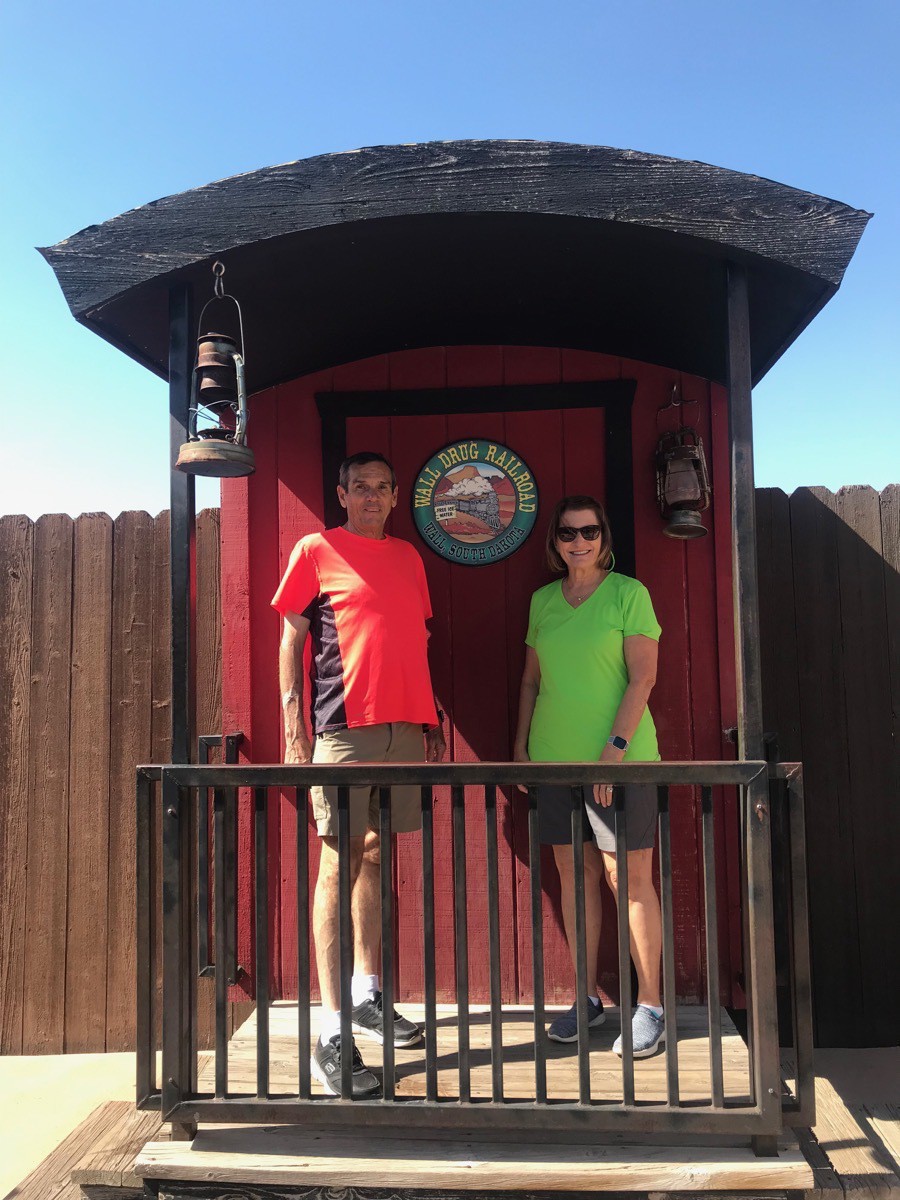
The Badlands
In the evening we drove through the Badlands National Park at sunset and stopped at the overlooks. Since it was so late in the evening, we didn’t do any hiking while there.
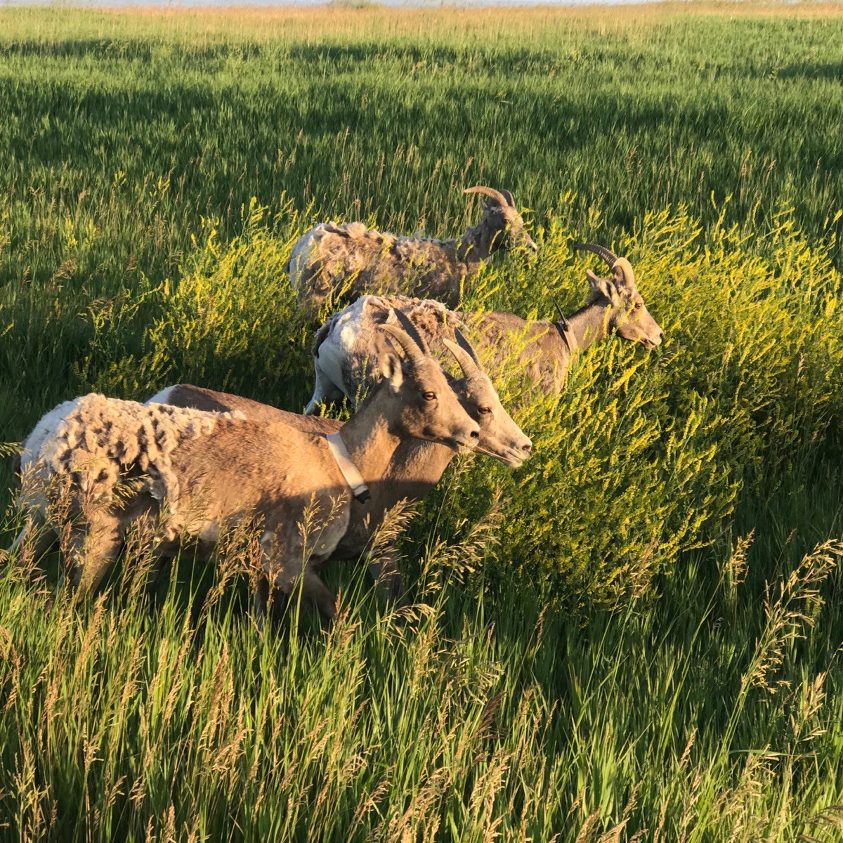
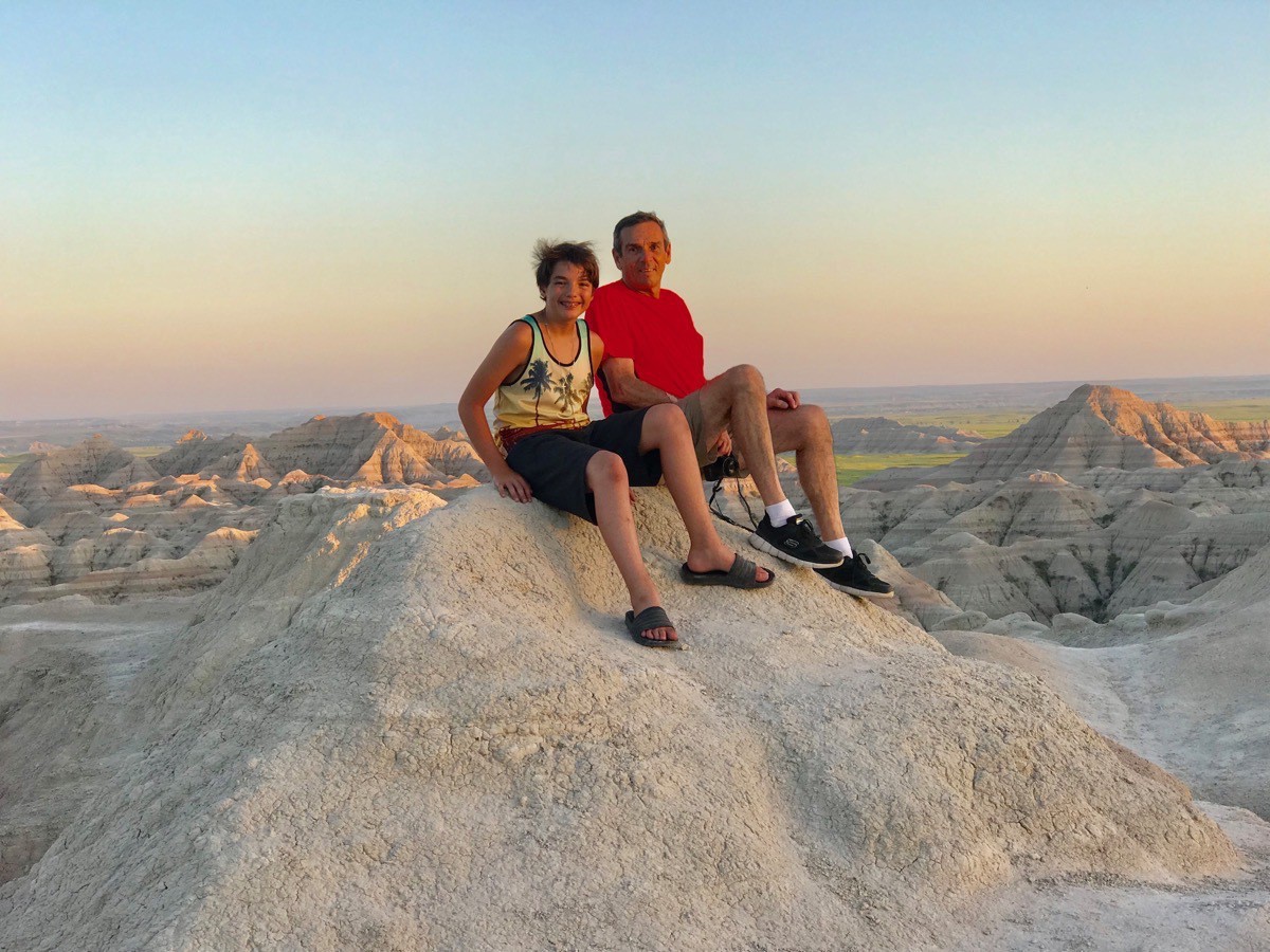
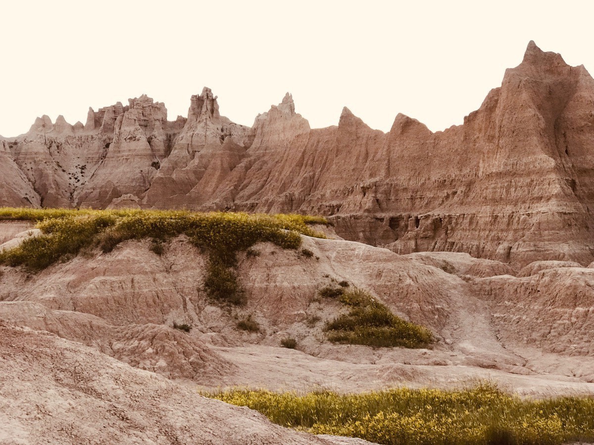
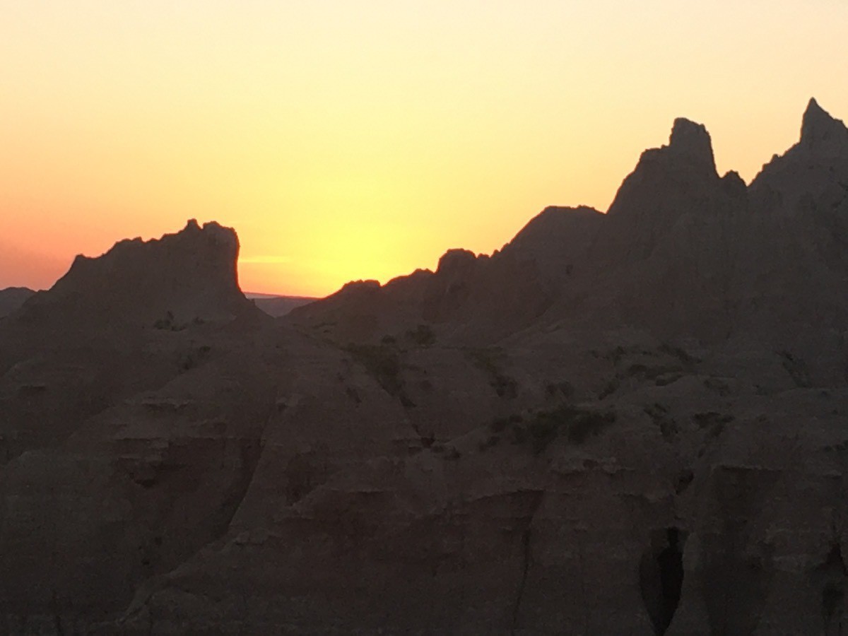
-
Sioux Falls to Mitchell, SD (Day 29)
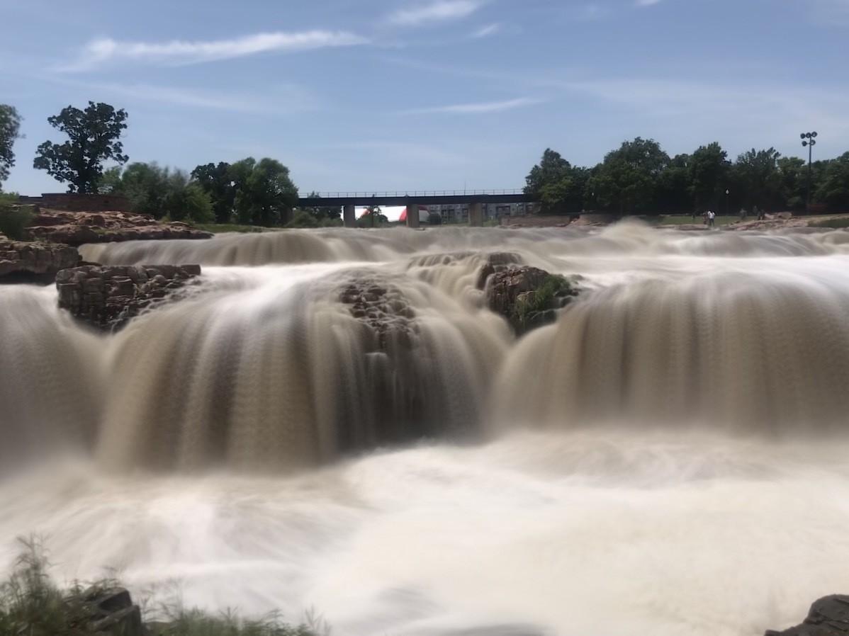
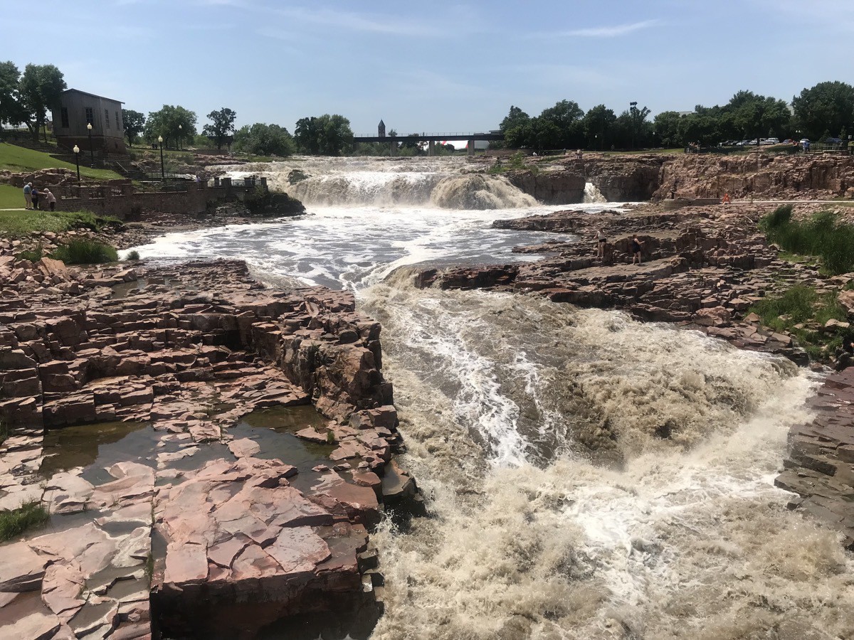
We left Sioux City, Iowa this morning around 10:00 and stopped at Sioux Falls, SD to walk around the Falls and take lots of pictures. It rained hard while we were driving, but it was a beautiful day once we arrived.
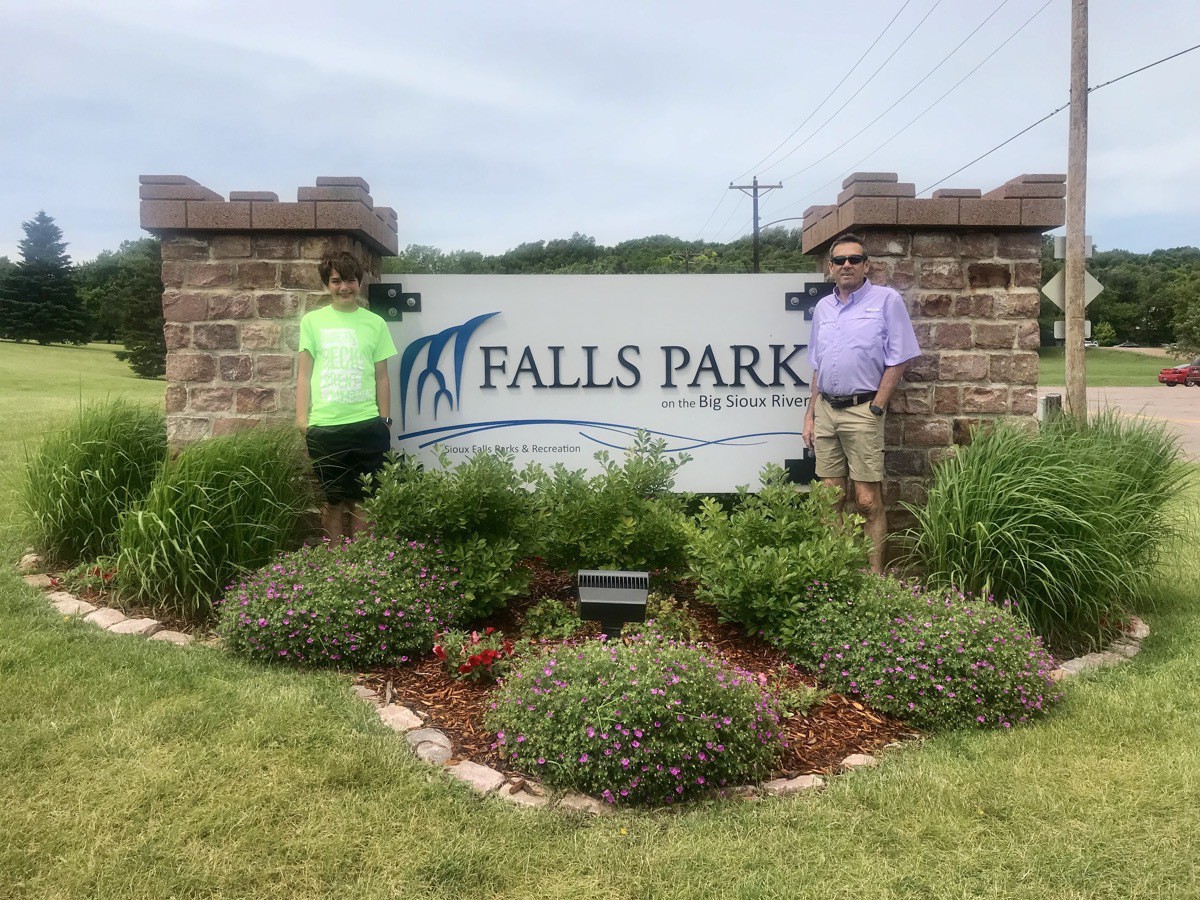
We first toured the museum and learned that the Sioux Falls Stockyards were the largest livestock market in the nation in 1976 and again in 1981, with as many as 10,000 animals bought and sold each day. When the stockyards opened in 1917, they could accommodate 5,000 pigs and 6,000 cattle. In the 1980s the stockyards sold to 70 packing plants across the US and Canada.
There are no stockyards remaining in Sioux Falls.After we toured the museum we walked around the falls.
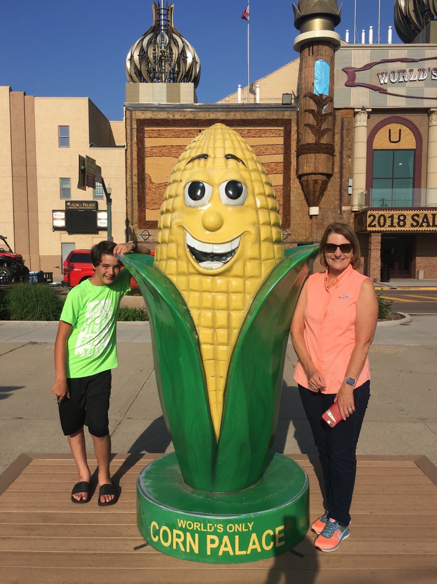
Corn Palace in Mitchell, SD
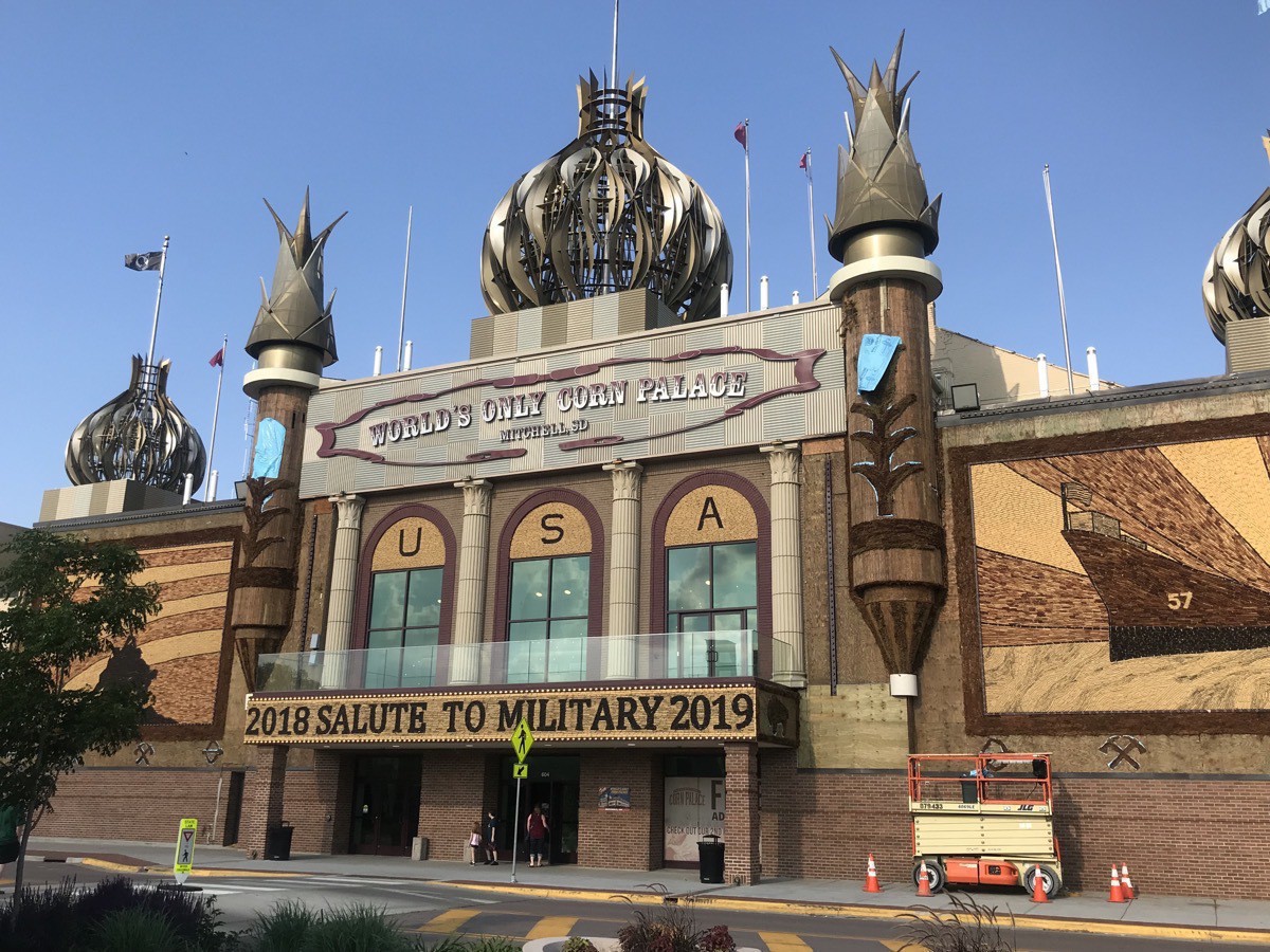
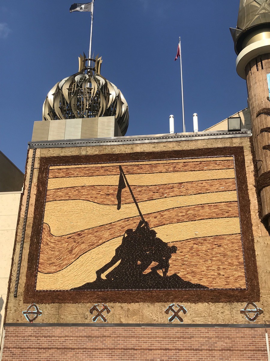
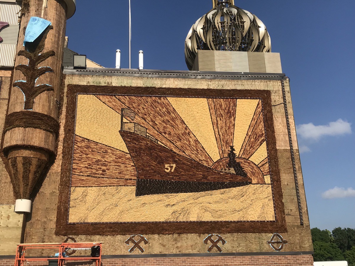
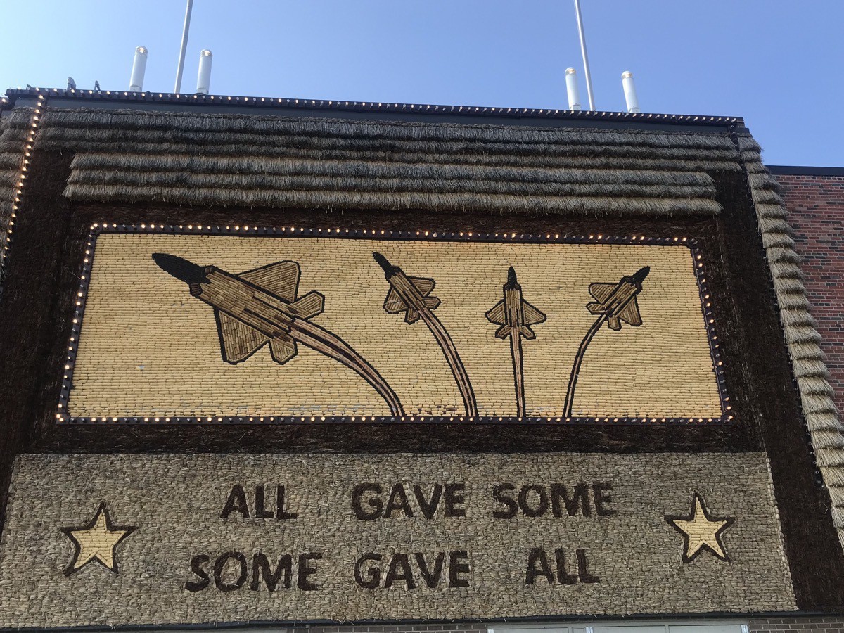
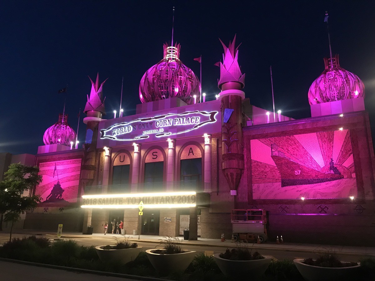
The World’s only Corn Palace is located in Mitchell, SD, a town with a population of 15,603. The outside is redecorated each year with naturally colored corn, sour dock (a weed) and rye. This year’s designs used 13 different shades of corn: red, brown, blue, white orange, calico, yellow and green. A different theme is chosen each year and murals are designed to reflect that theme. Birds eat the corn during the year, but “by the time they are getting full, we are ready to re-decorate. It’s the ‘World’s largest bird feeder’.”
The Corn Palace is used regional and state basketball tournaments, graduations, proms, banquets, concerts and industrial exhibits.
-
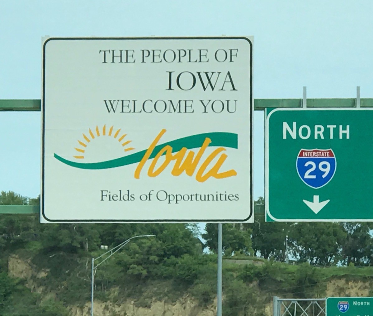
Sioux City, Iowa (Day 28) Lake Charles' Sister City
This morning I woke up totally exhausted after 27 days of being on-the-go morning, noon and night. We spent a lazy morning in Big Hat and played one game of Phase 10 before eating lunch and heading out for the day.
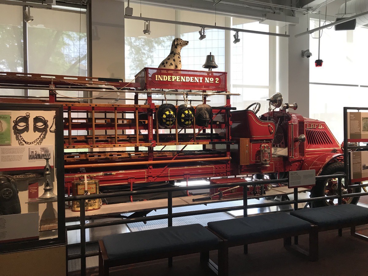
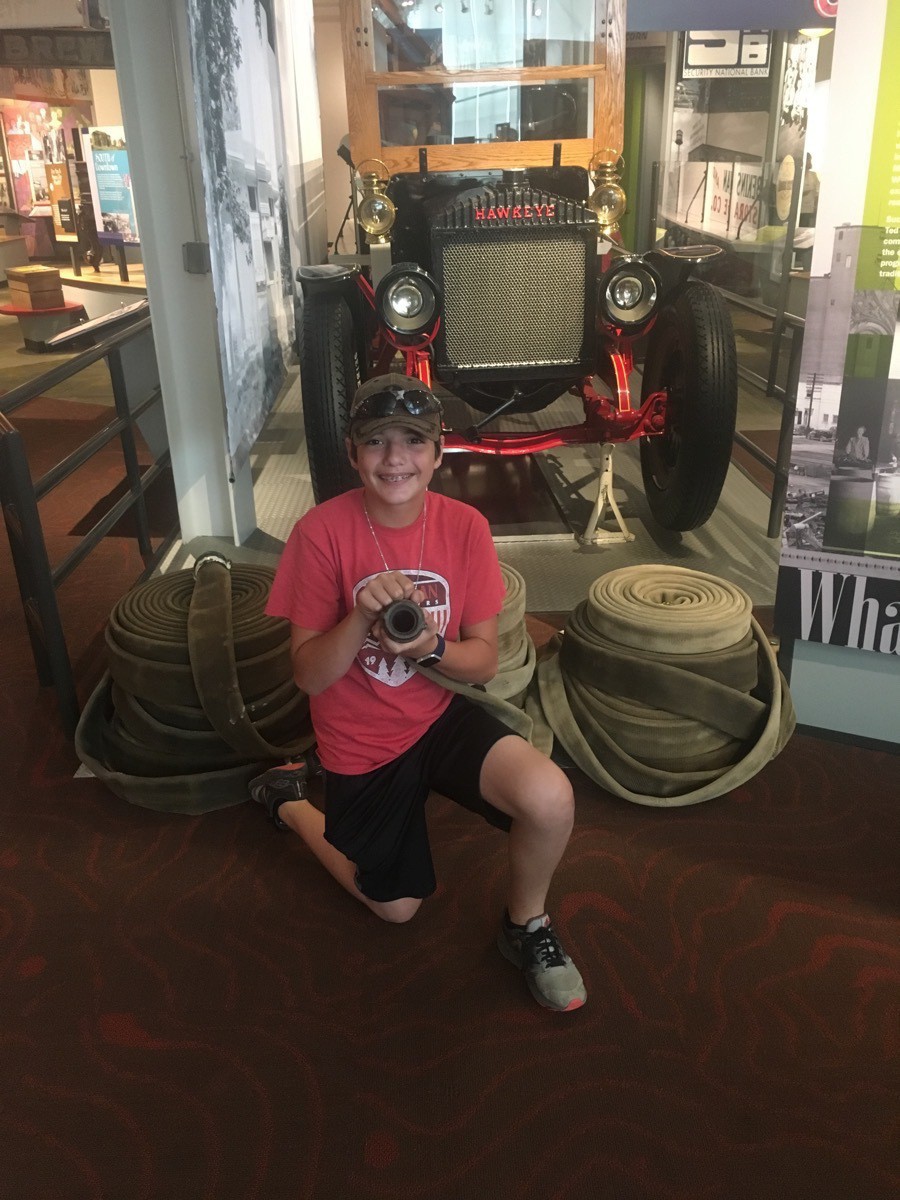
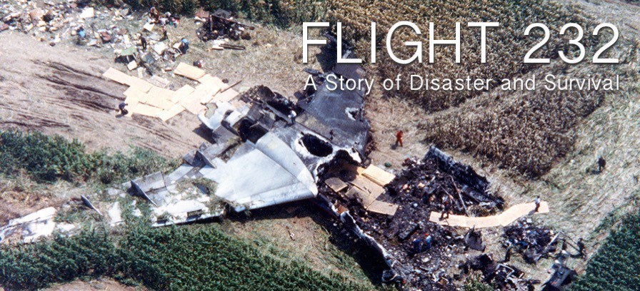
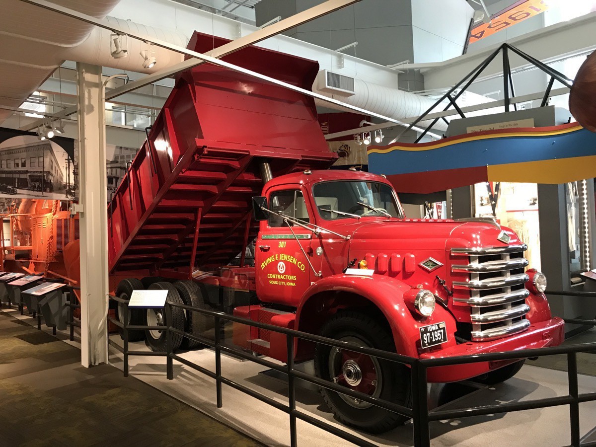
Our first stop was the Sioux City Public Museum, a free museum featuring the history and culture of the area in state-of-the-art displays. We watched a video about the city’s history which included the great floods of 1892 and 1953, the great fire of 1904, and the crash of United Airlines Flight 232 in 1989. We saw Native American artifacts, pioneer artifacts, historic transportation vehicles as well as many interactive displays and other videos. There was also a big archaeological dig for dinosaur bones for small children.
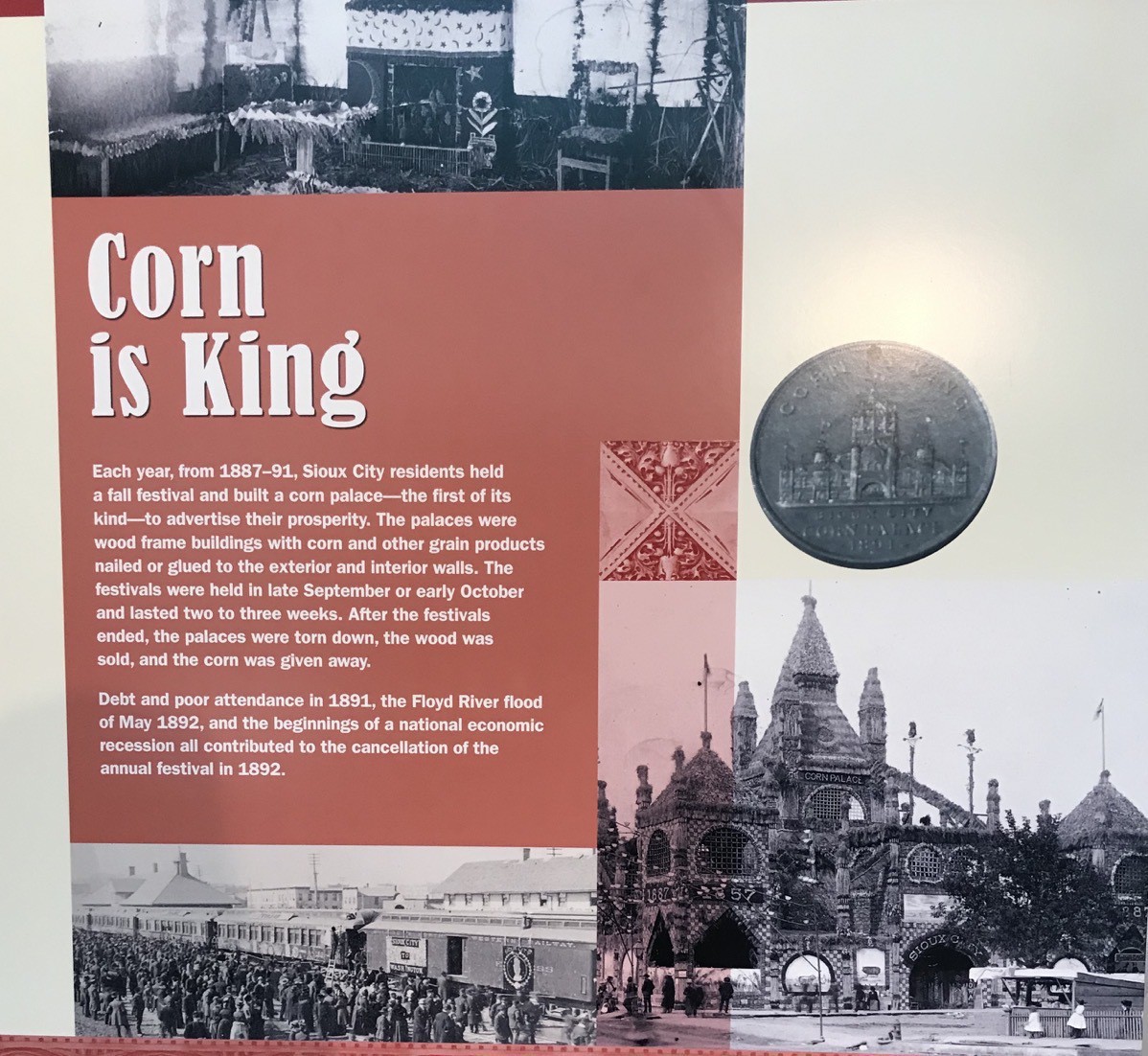
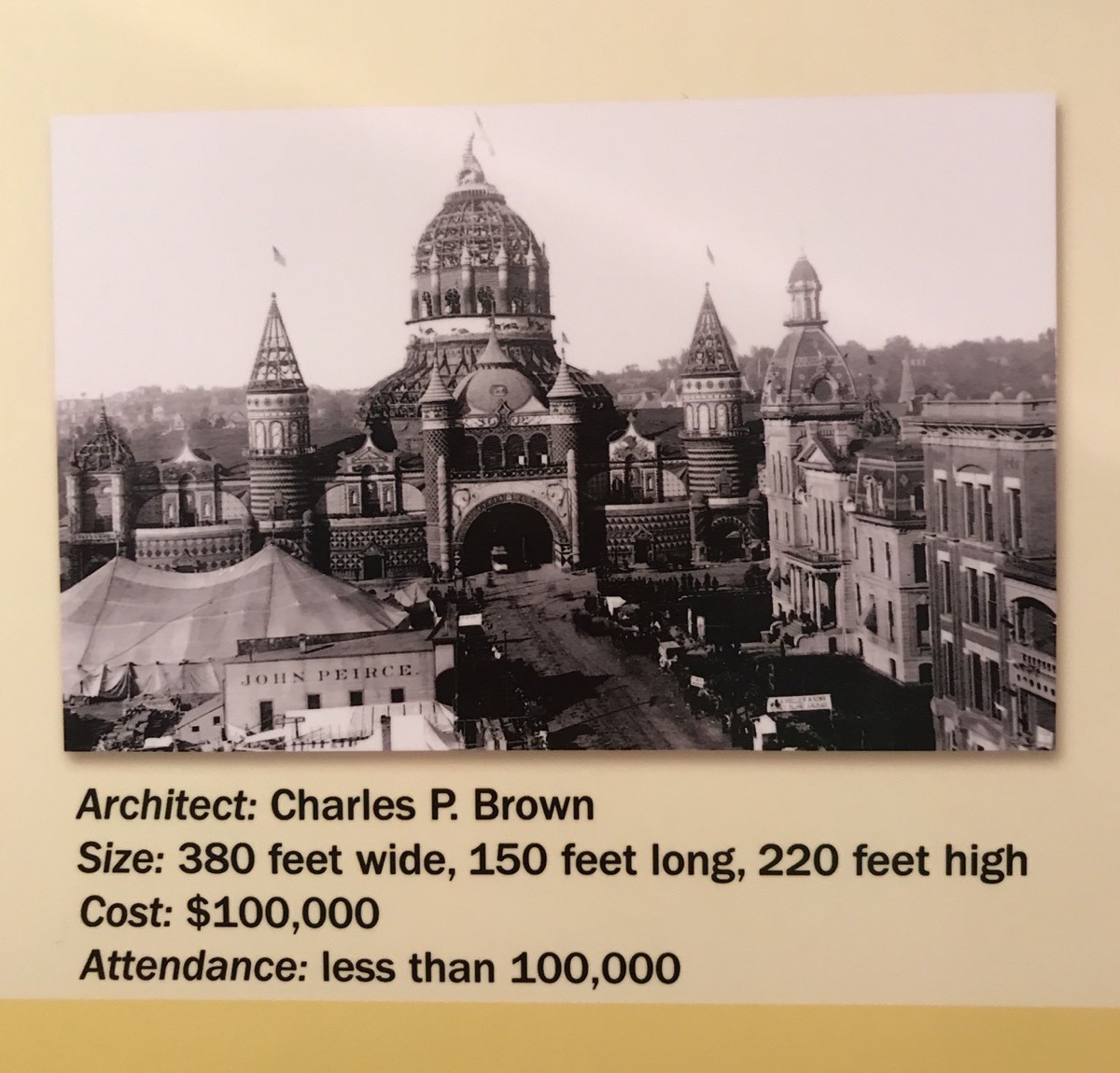
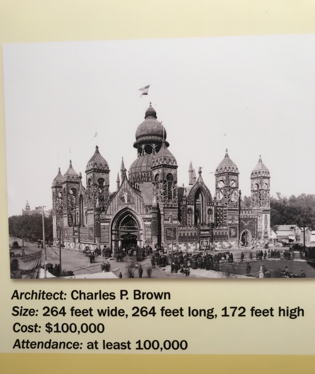
Corn Palaces
Each year from 1887-91 Siuox City residents held a fall festival and built a corn palace—the first of its kind—to advertise their prosperity . The palaces were frame buildings with corn and other grain products nailed and glued to the exterior and interior walls. The festivals were held in late September or early October and lasted two to three weeks. After the festivals ended, the palaces were torn down, the wood was sold and the corn was given away. Debt and poor attendance in 1881, the Floyd River Flood of May 1892, and the beginnings of a national economic recession all contributed to the cancellation of the annual festival in 1892 and thereafter.
Next we learned of the great fire of 1904 that started on the evening of Dec.23 in the Pelletier Department Store.
Pretty paper Christmas decorations hung everywhere and the store was filled with shoppers. In the crowded basement, a salesman prepared to demonstrate some mechanical toys powered by a small steam engine. The salesman struck a match to light the engine. Horrified onlookers watched as the head of the match flew off and landed in a "snowdrift" of white cotton. In an instant, the cotton caught fire and the flames ignited hanging paper streamers. Fire Chief George Kelly happened to be in the area at the time. He noticed the wisps of smoke curling up from the basement. Immediately, he called in the alarm. The firemen were there in minutes, but the building was already ablaze. Soon the six-story Massachusetts Building was engulfed in flames.
Quickly, the flames jumped across the street to the Toy Building. Then the fire swept westward, devouring the Prugh Block at 314 Nebraska Street and the Leader Hotel to the south. The fire spread quickly until more than two blocks were ablaze. By morning two and half blocks of the down was destroyed. Amazingly, only on man was killed when trying to jump from a four story window and was killed by the fall.
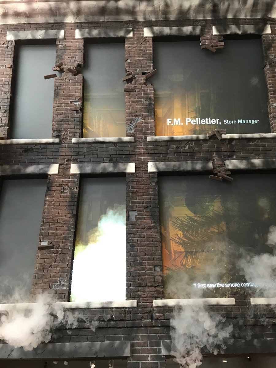
Look at the real smoke coming from the video screen through the brick and into our room.
United Airlines Flight 232
in 1989 United Airlines Flight 232 crash-landed at Sioux City, Iowa, after suffering a catastrophic failure of its tail-mounted engine which led to the loss of any flight control. 184 Survivors. 112 Dead. Just the previous year a mock airline accident had been staged to make sure all emergency personal would know what to do. With just 15 minutes notice emergency person were on the field along with every available fire truck and ambulance.
The Great Floods of 1892 and 1953 on the Floyd River cause castatropic damage. Three hundred thousand people were left homeless. The lumber yards, stockyards and railroads were torn apart by the wave of water. Cattle try frantically to swim in their flooded pens at the Sioux City stockyards
There was fun stuff there also--
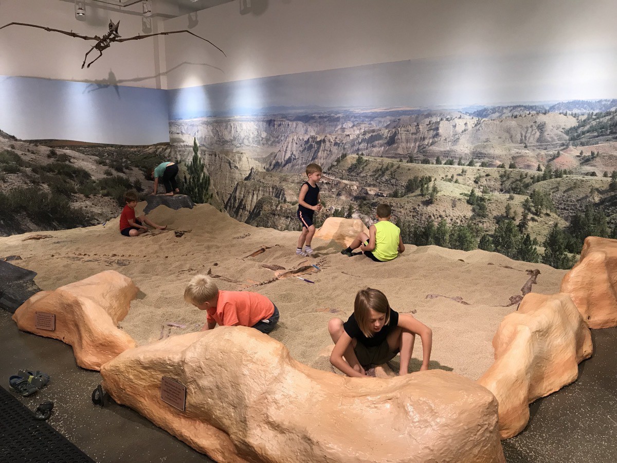 Kids during an archeological dig in this big room searching for dinosaur bones.
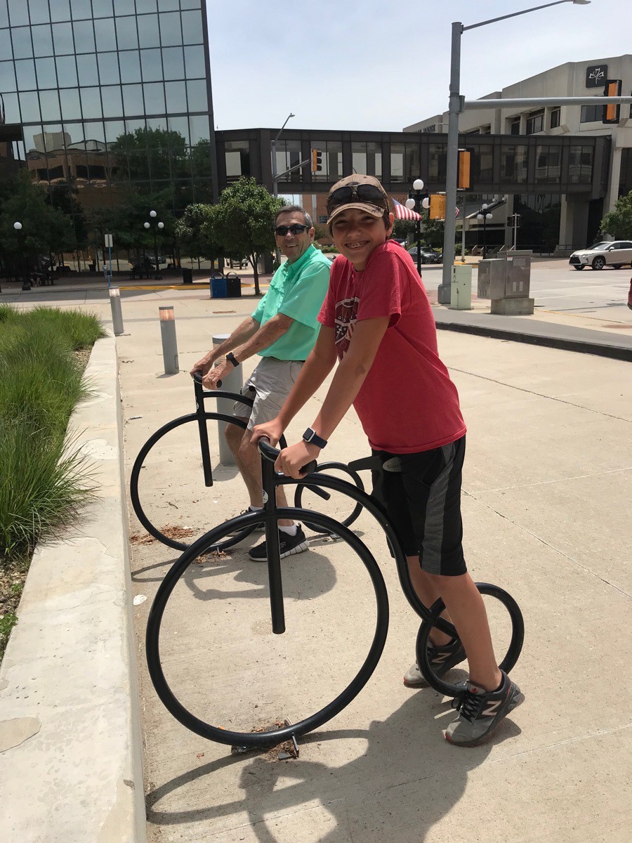
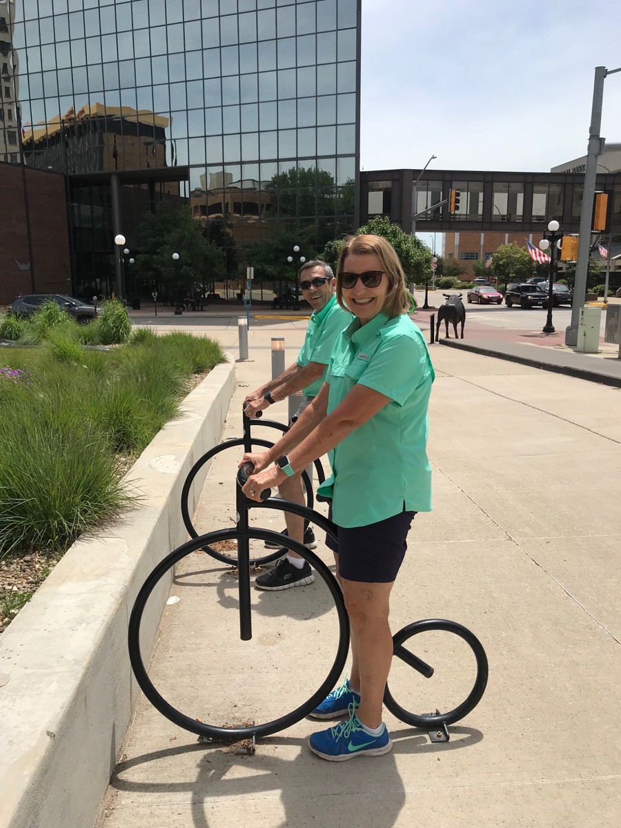
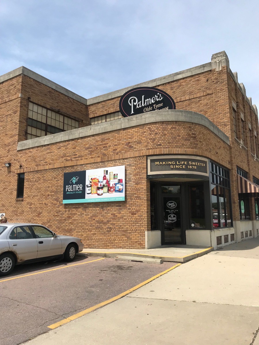
After visiting the Museum we walked to the Palmer Candy Company to get some fudge.
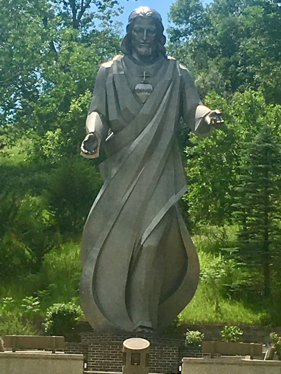
After the museum and the candy company, we went to see one of only four life-size carvings of Jesus and his apostles at the last summer.
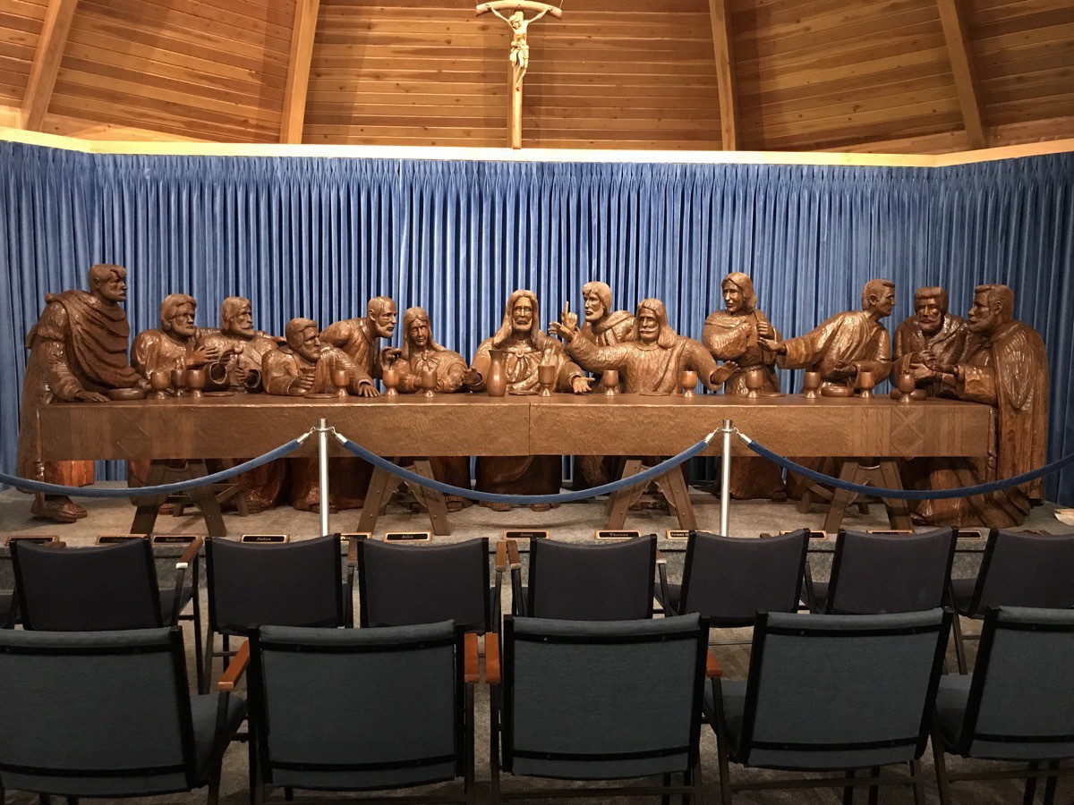 There are only four life-size carvings in the world of Jesus and the last supper
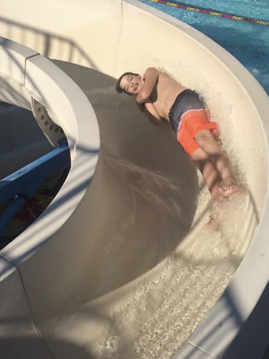
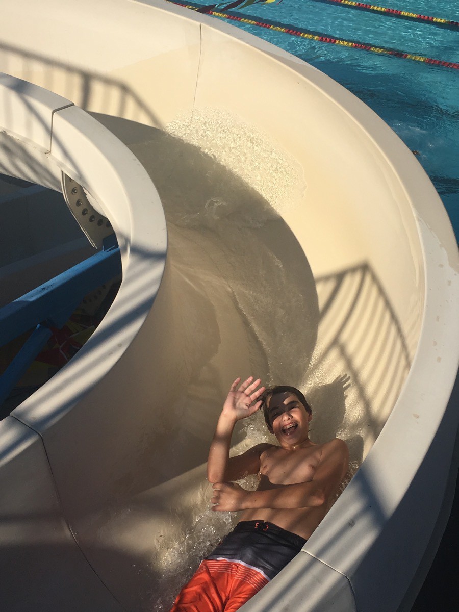
Once we came back to Big Hat we rested a little before Tom took Ben to the swimming pool next door.
-
Omaha, Nebraska (Day 27)
We left Nebraska City this morning and drove to Omaha where the College World Series in being played (but we did not have tickets for a game).
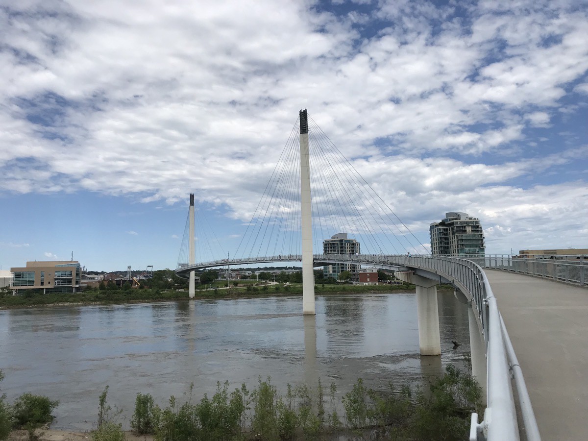
Our first stop was the Bob Kerrey Pedestrian Bridge, a stunning 3,000 ft bridge that crosses the Missouri River from Omaha to Council Bluff Iowa. The bridge cost $22 million and has programmable lights that change colors that were donated by Gallup whose corporate headquarters are located adjacent to the Omaha landing of the bridge.
We ran into a couple and two of their grandkids from Sulphur, Tommy & Louise Nichols. Tom worked with Louise at PPG for many years! Small world.
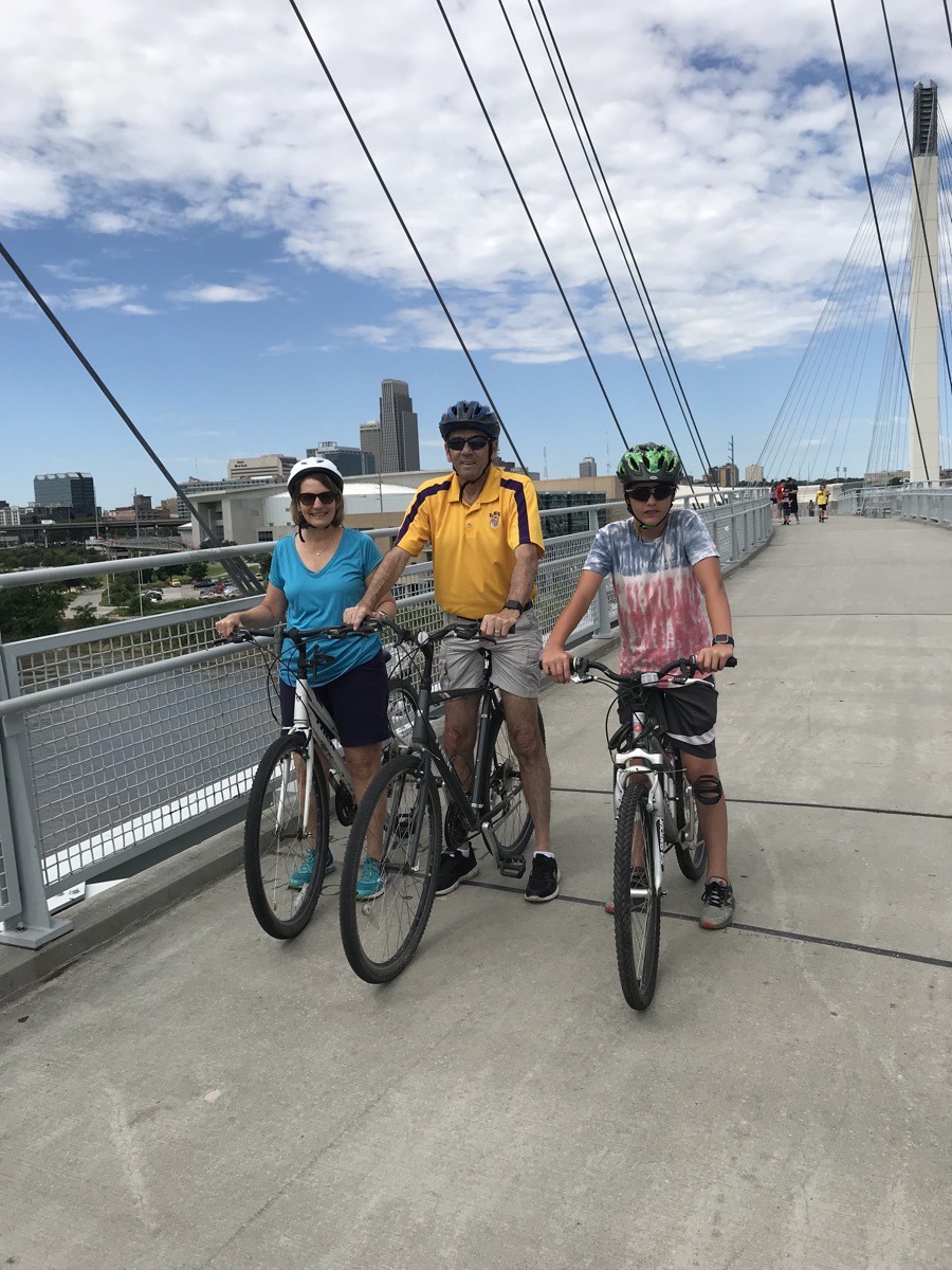
We bicycled across the bridge and along the Lewis and Clark bicycle trails on both sides for a total of 6 miles.
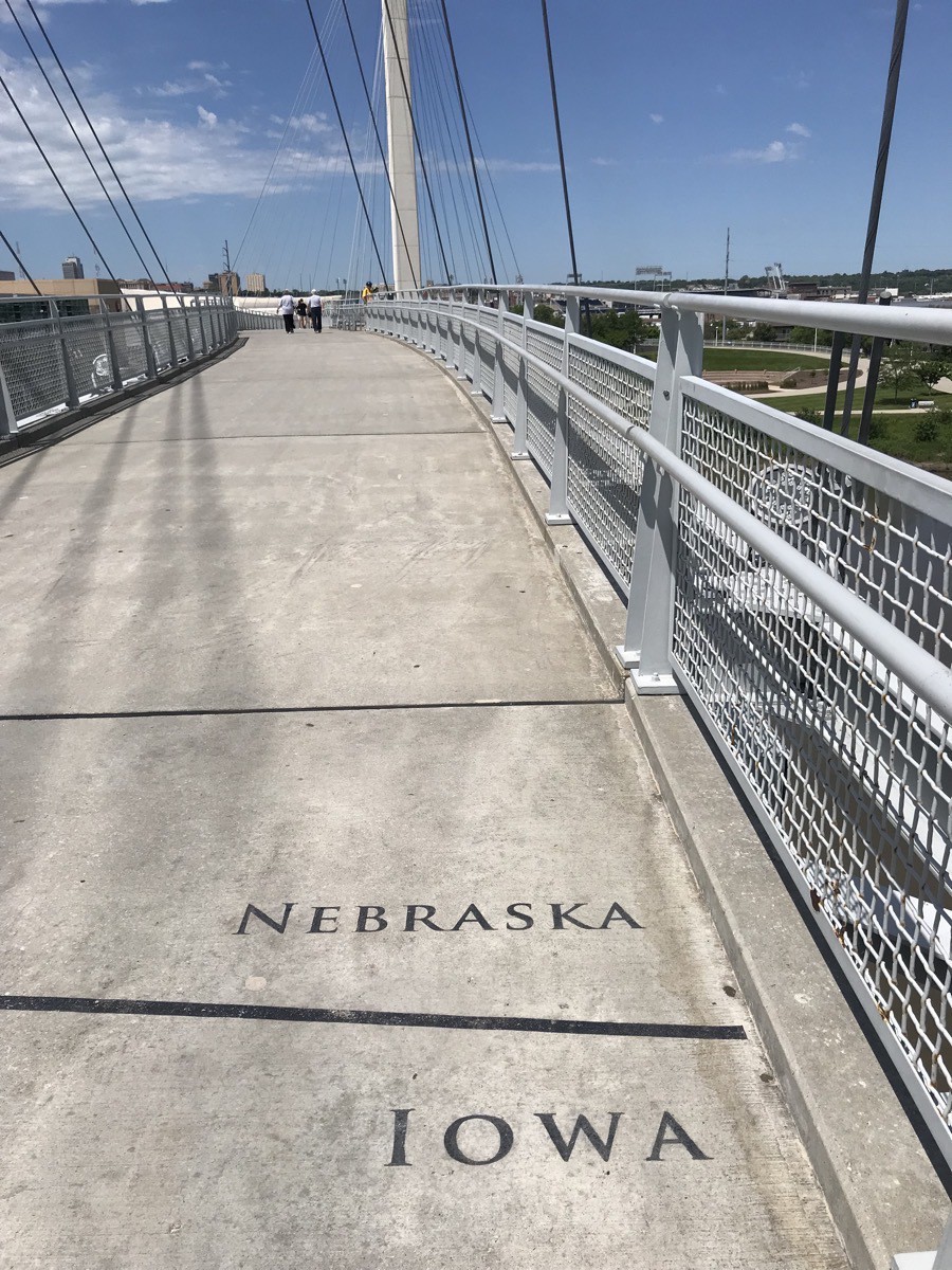
The Iowa/Nebraska border on the bridge
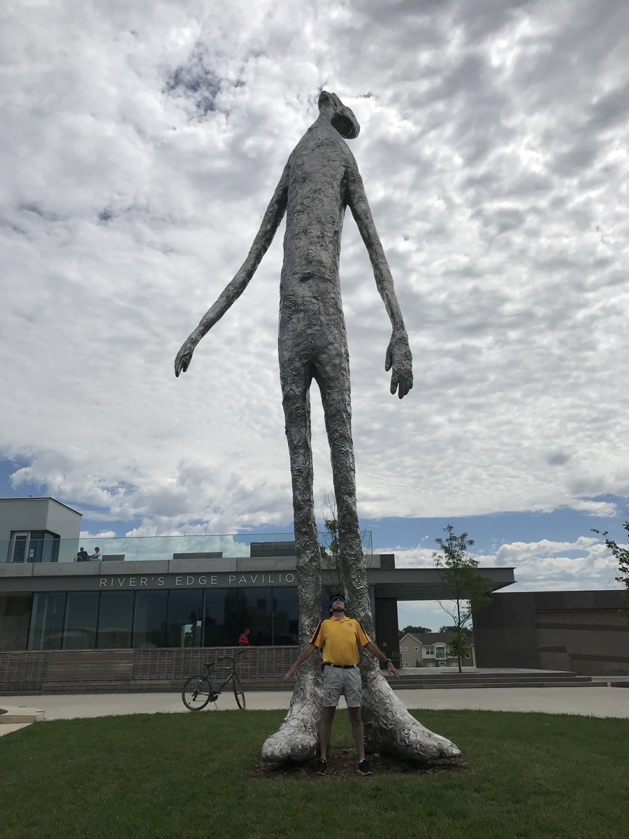
Mark di Suvero’s sculpture BIG MO (with Tiny Tom at his feet)
Boys Town
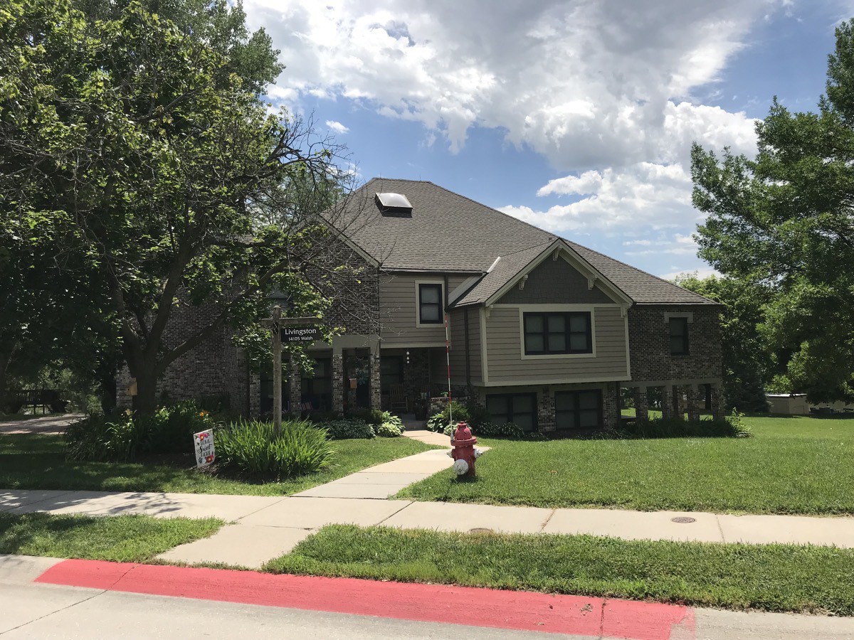
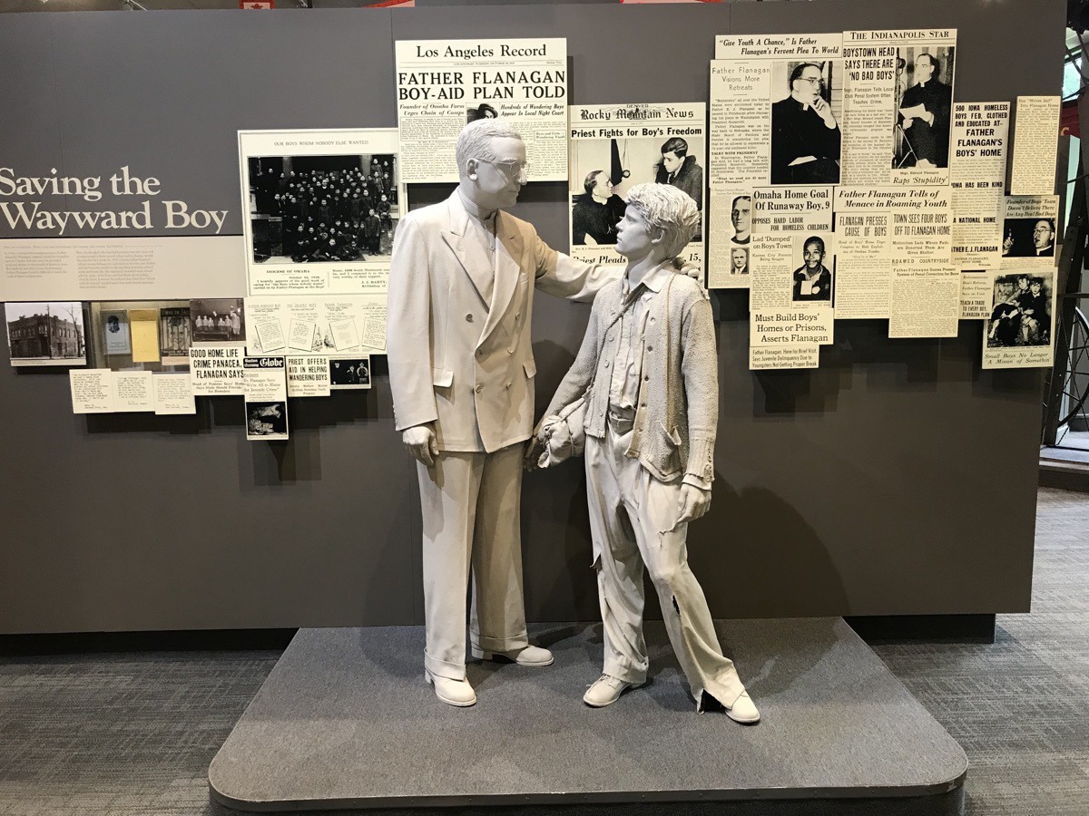
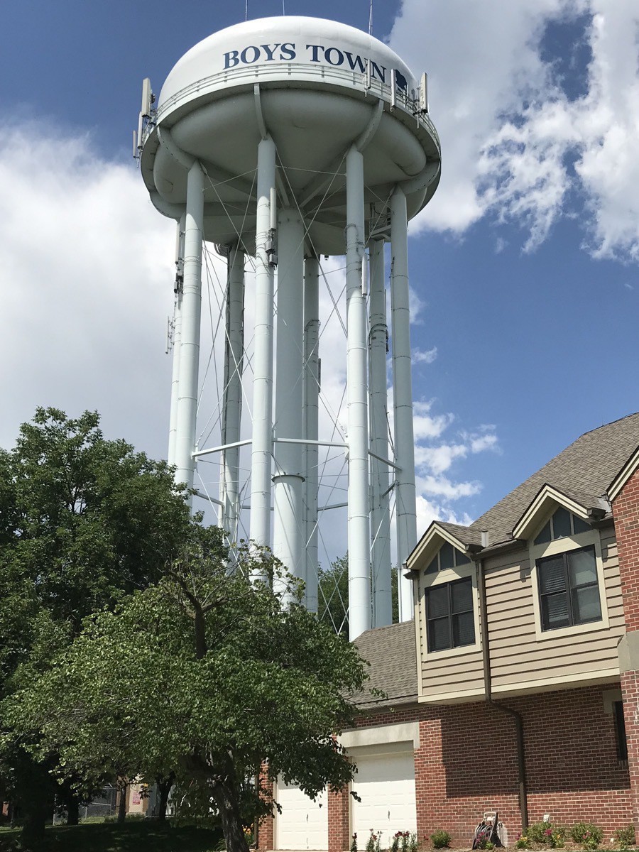
Our next stop was Father Flanagan’s Boys Town, established in 1917. It is dedicated to the care, treatment and education of at-risk children. Children who live on the one square mile campus live in family style homes with married couples with six kids to each home. The homes are spacious with recreation rooms and family rooms. Breakfast and dinner are eaten in the home and all the residents eat lunch together in the common dining hall.
The 400 residents go to elementary school or high school right on the campus and the school facilities are very nice!
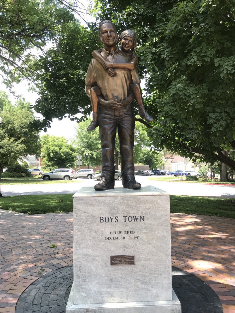
In 1943 Boys Town adopted as its image and logo a sculpture of a boy carrying a younger boy on his back, captioned “He ain’t heavy, Father, he’s my brother”.
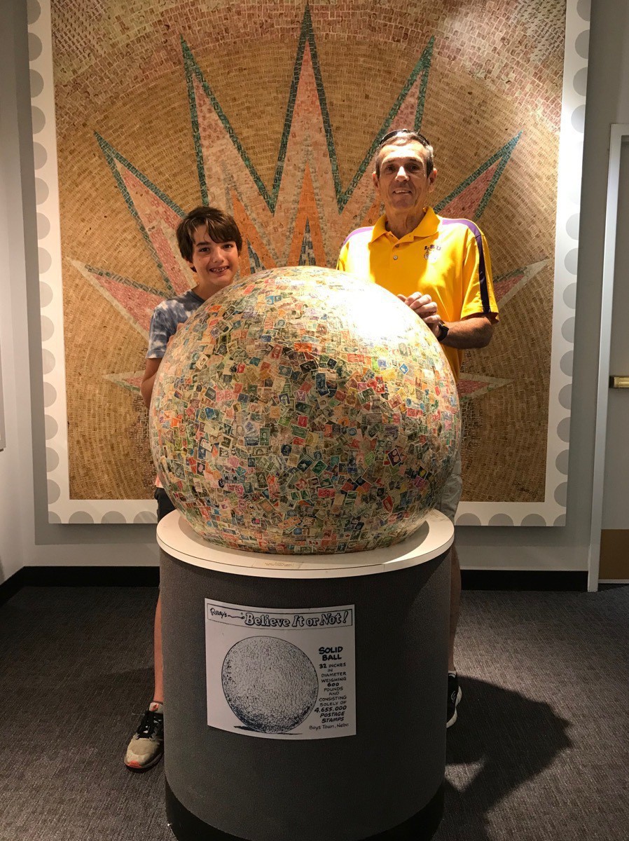
The World’s Largest Solid Ball - 32” in diameter weighing 600 pounds and consisting solely of 4, 655,000 Postage Stamps is at Boys Town, Nebraska
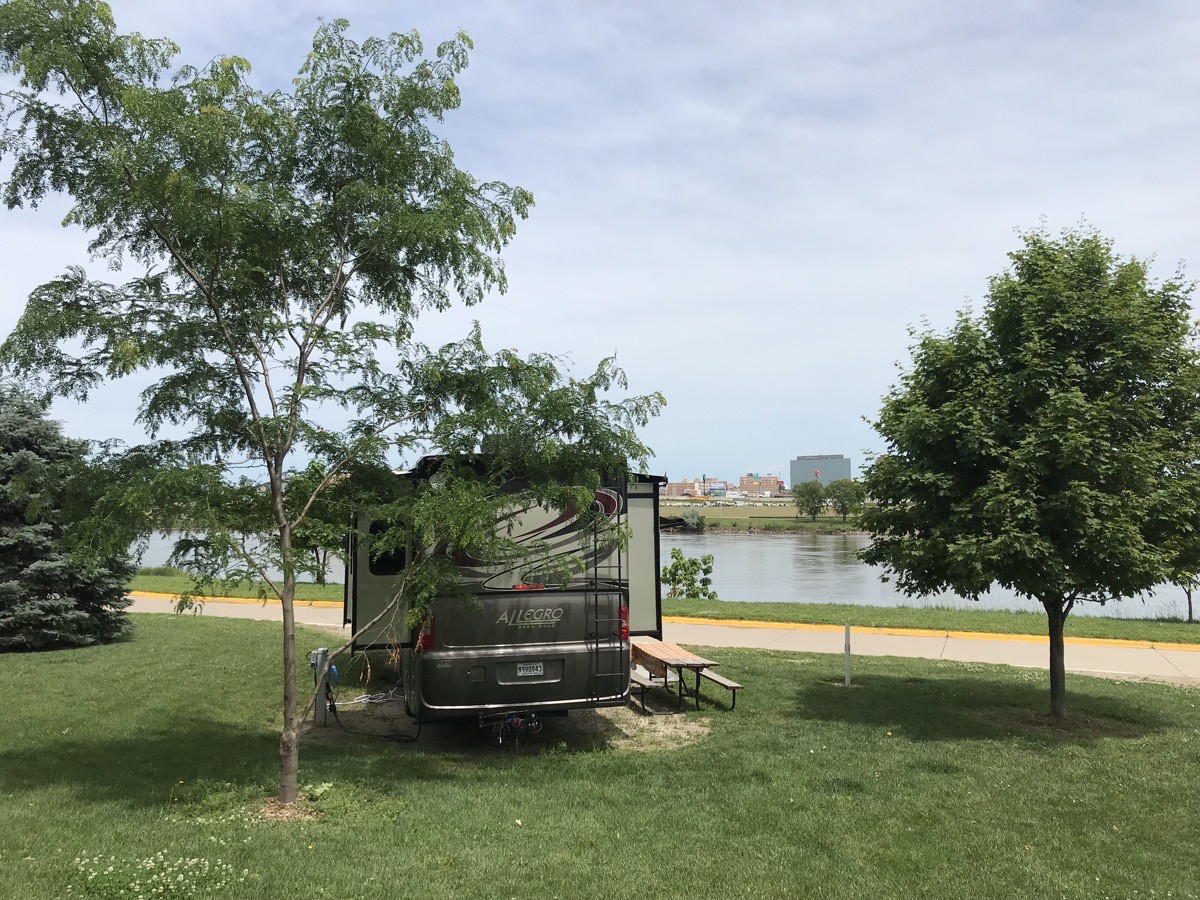
We stayed at the Scenic Campground along the Missouri River.
TRIP DATA
- Miles driven today: 174 miles
- Total Miles driven: 3,352
- We purchased 72 gallons of gasoline at $2.239 per gallon
- Total cost of gasoline: 878.94
- Scenic Campground: $27
- Total Campground: 944.38 for an average of $34..85 per night
-
Nebraska City, Nebraska (Day 26)
Nebraska City
We arrived in Nebraska City from Kansas City last evening. We had to detour from I-29 to US 75 because the bridge from I-29 into Nebraska City is still closed because of the recent flooding in the midwest. We stayed in the Victoria Acres RV Park which is a beautiful park with lots of trees.
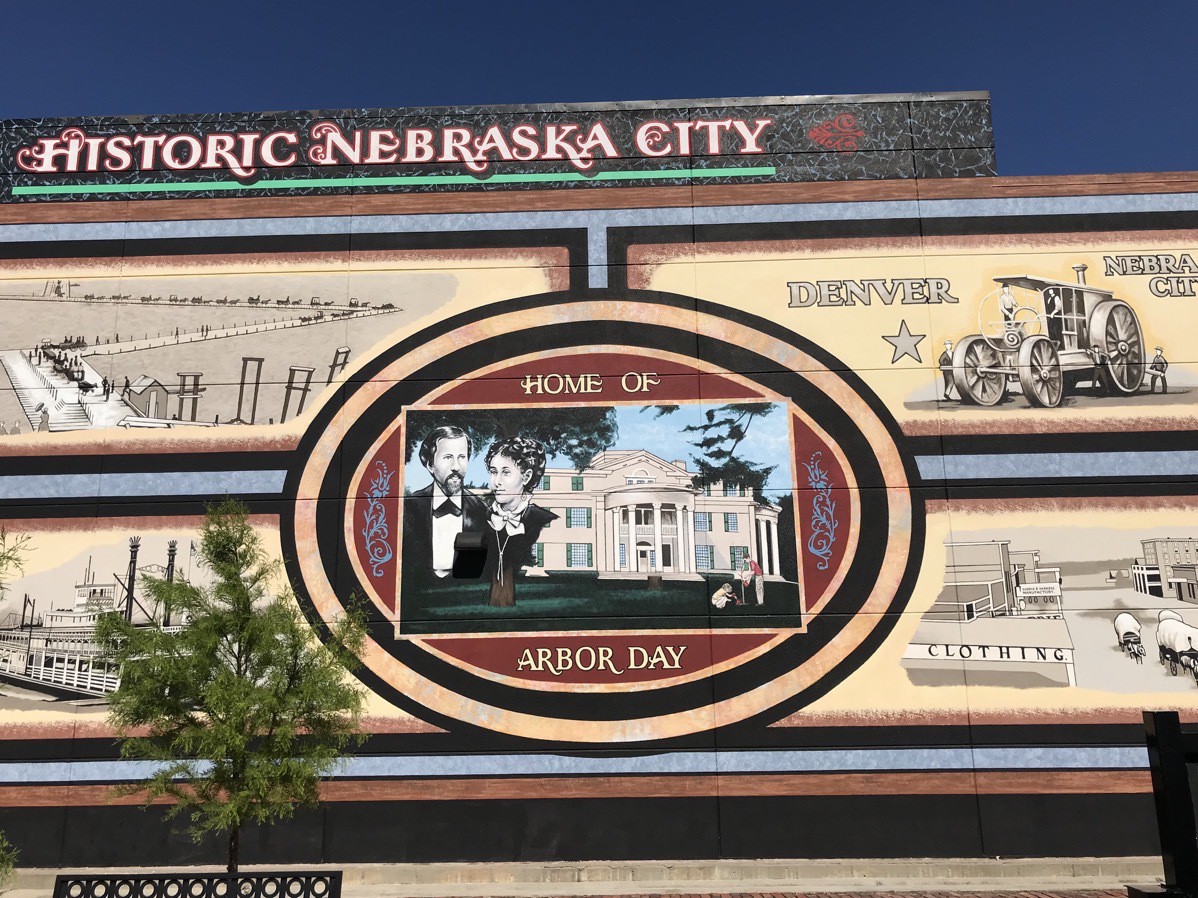
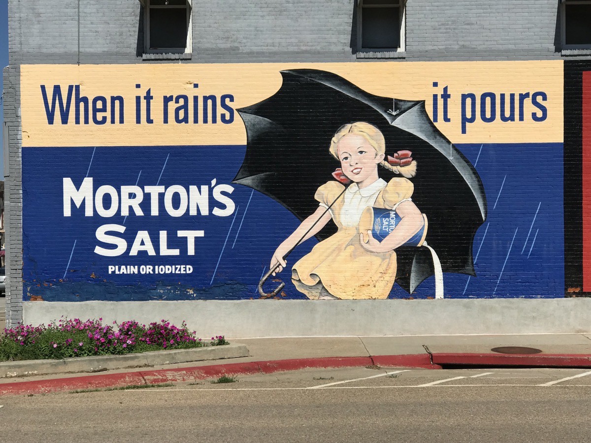
The town of Nebraska City is a gorgeous city. The downtown area is enhanced with hanging baskets of flowers along the sidewalks, nice street lamps, vintage painted signs on the sides of buildings, and painted trees in front of many buildings. The population is 7,289
This morning we went to the Missouri River Basin Lewis and Clark Visitor Center which was small scale, but interesting. We watched a movie about the Lewis and Clark expedition,walked around and looked at all the exhibits and then walked on all the trails around the complex.
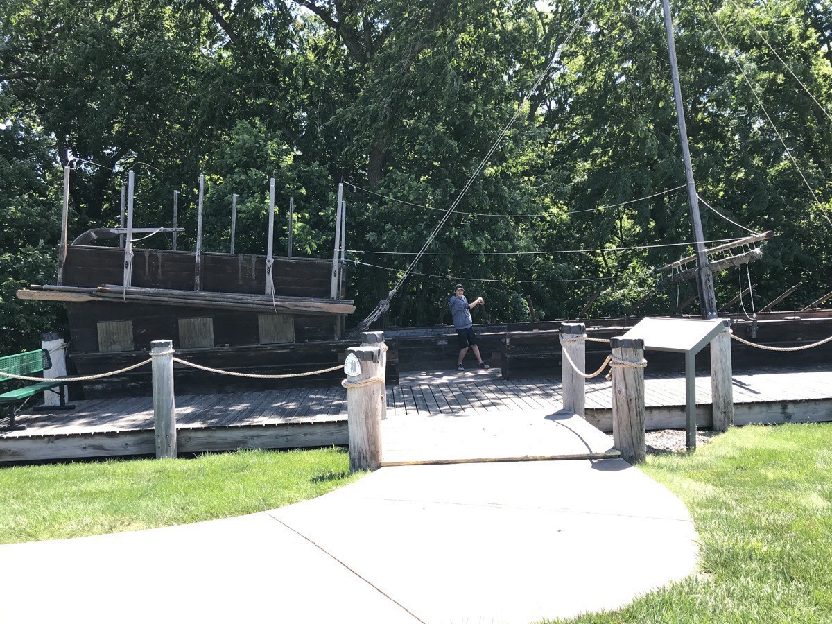
Full size replica of the Keelboat
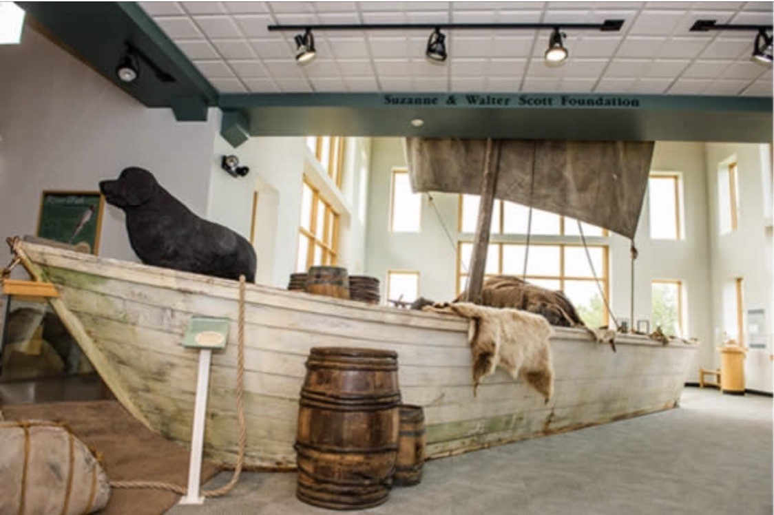
Meriweather Lewis’ Newfoundland dog Seaman made the trip with them. Although the men ate over 200 dogs along the way to keep from starving, Seaman protected the men from bears and other animals and retrieved large game they shot.
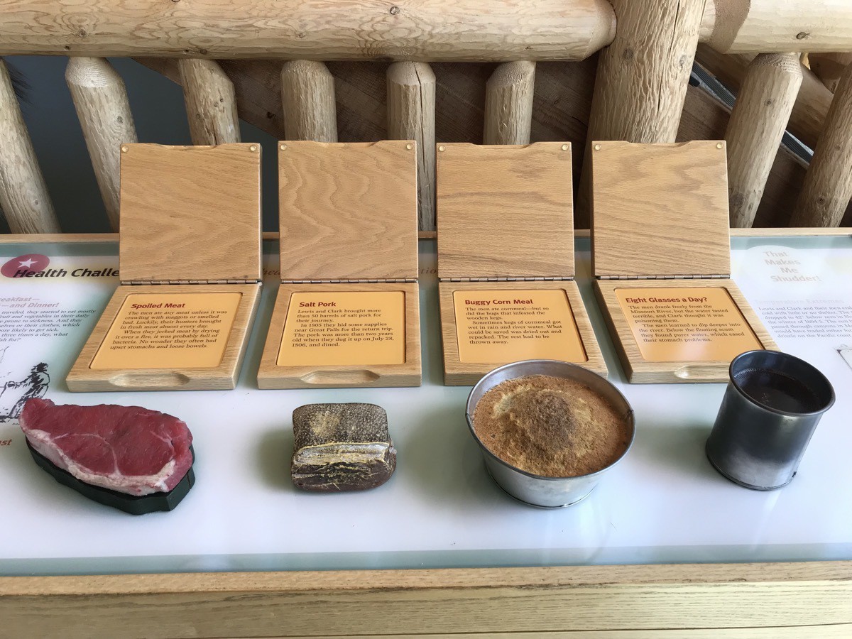
I’m not good with selfies, but I liked the sign.
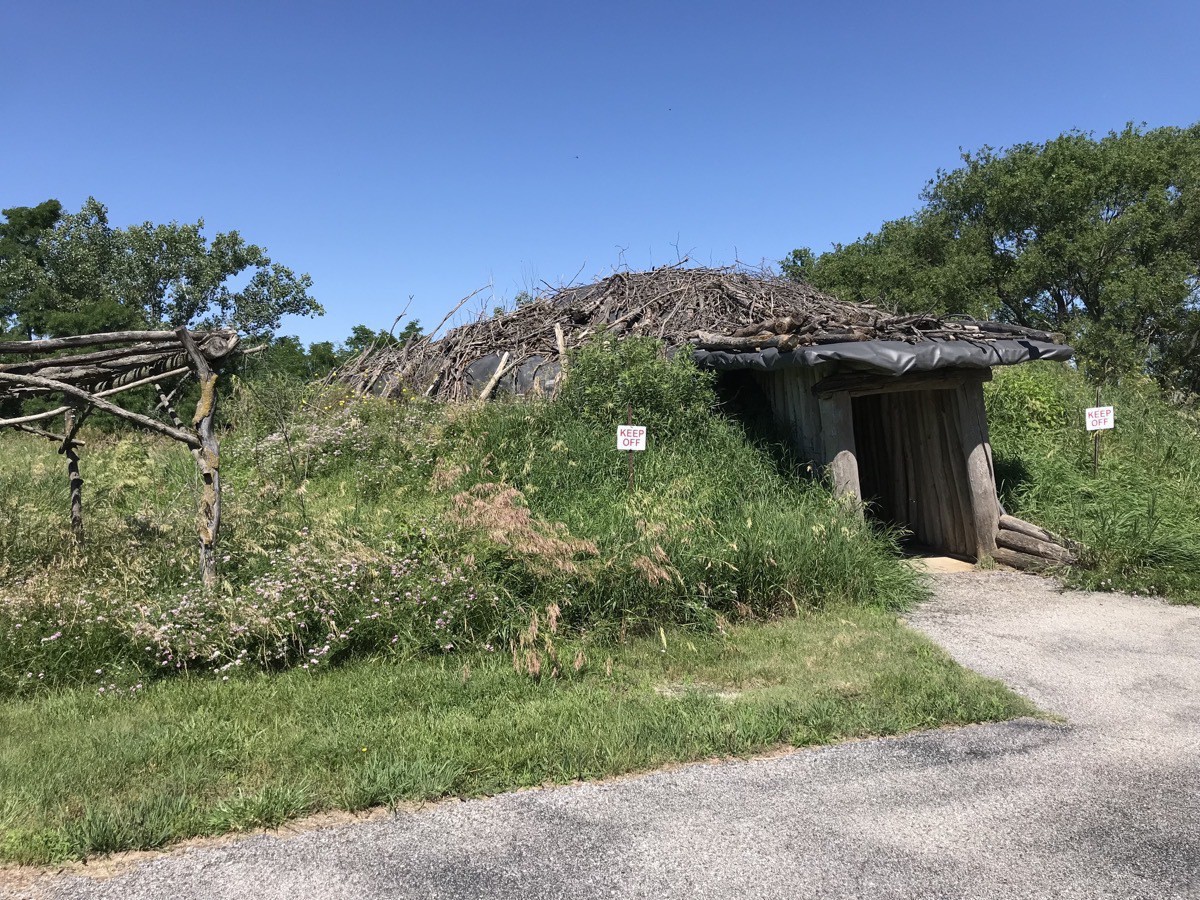
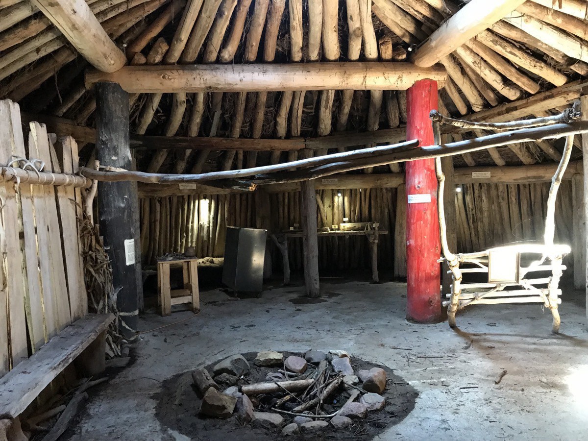
Full size replica of a Plains Indian home lived in by three or four generations. These dwellings lasted as long as twenty years.
Arbor Day Farms
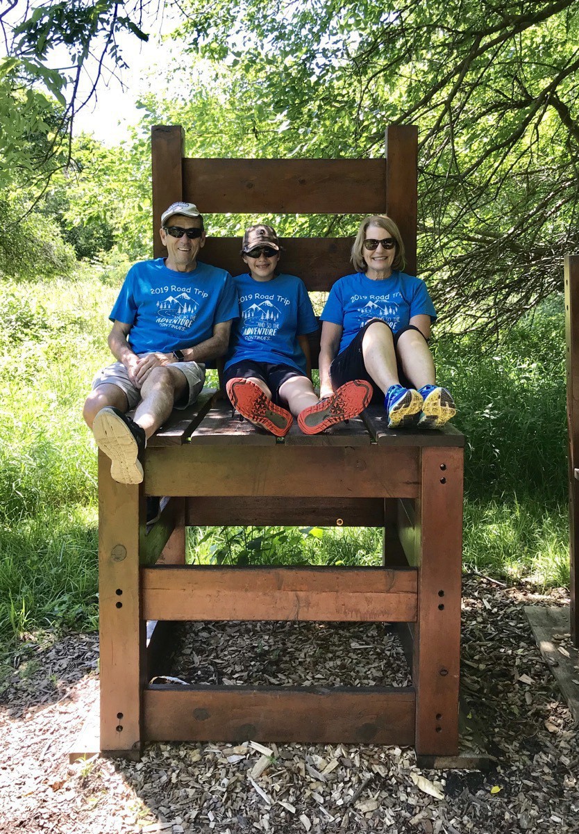
Our second stop of the day was to Arbor Day Farm. The birthplace of Arbor Day, it is a National Historic Landmark. We spent several hours walking on the various trails of the 260 acre farm and stopping to play along the way.
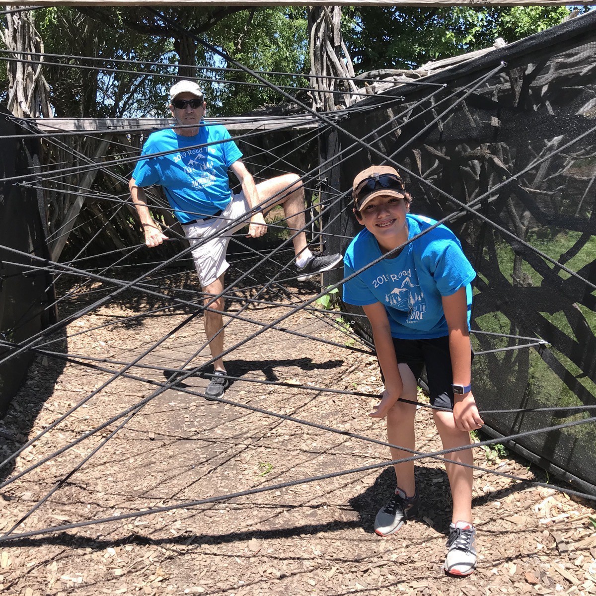
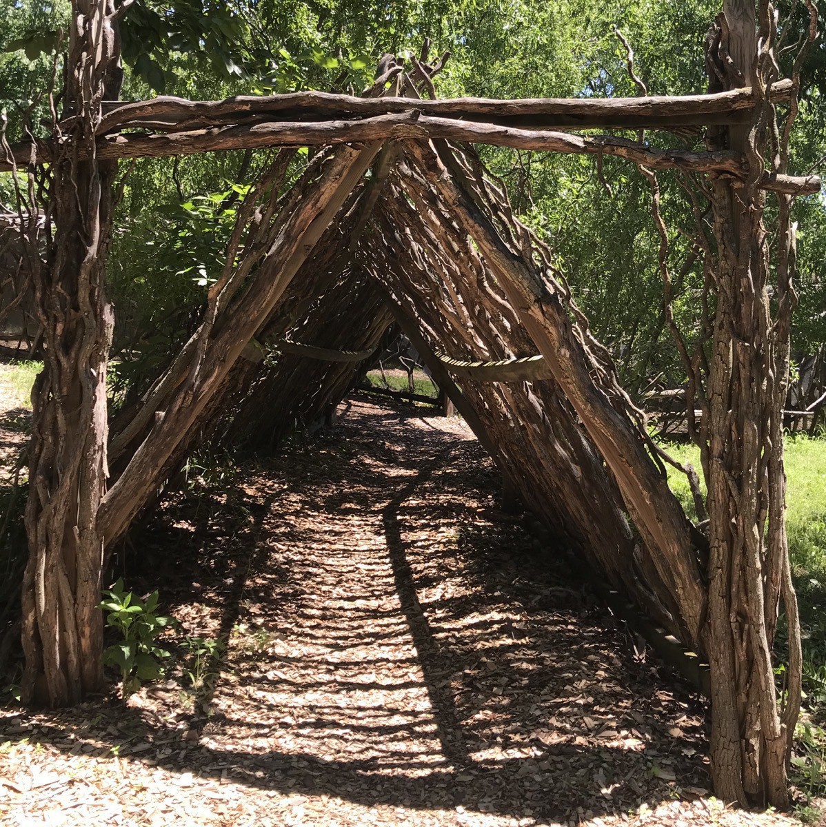
Tom and Ben climbed through the obstacle course while I walked through the wooded side pictured below.
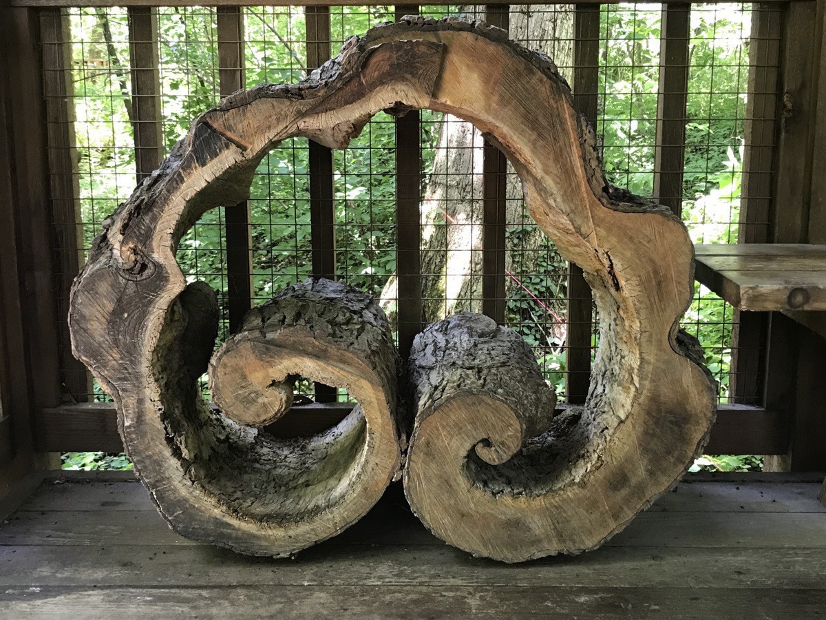
Interesting slice of a tree on display. It would make a perfect coffee table base!
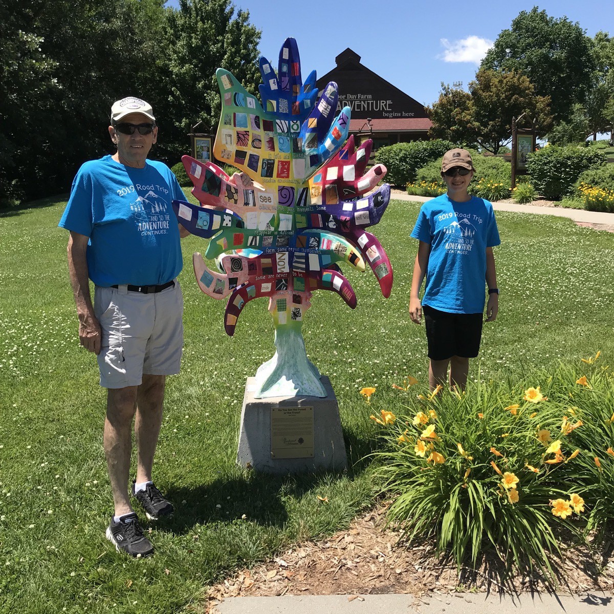
There are painted trees with this shape all over Nebraska City. This one says, “Do you see the forest or the trees?”
Steinhart Park Swimming Pool
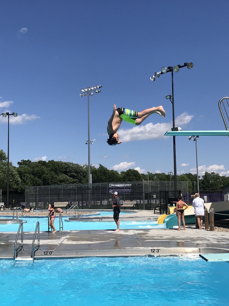
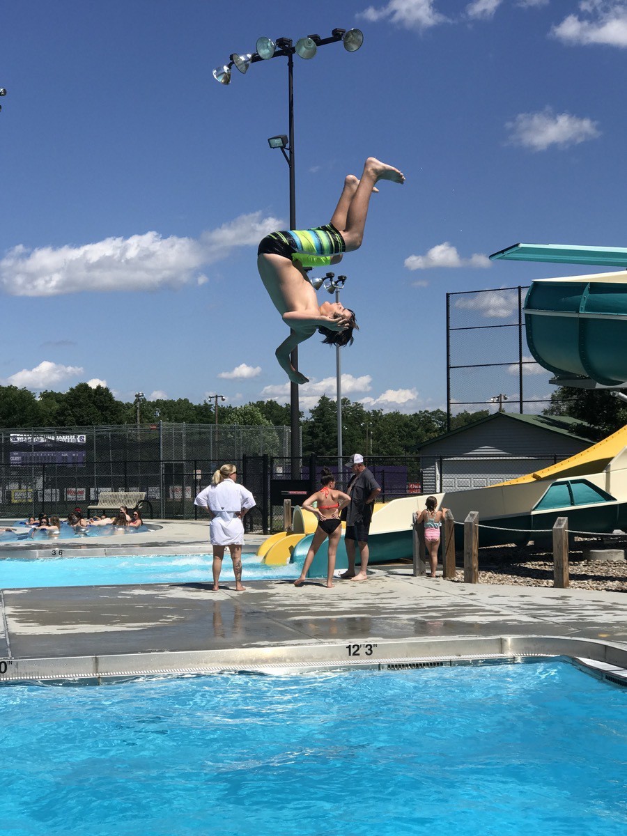
While I walked through town and took pictures of different painted trees, Tom and Ben spent the remainder of the day at this nice city swimming pool. Although it had a lazy river (for Tom) and two big slides, Ben spent the day going off the high diving board.
The vintage signs painted on the side of buildings in the downtown section of town.
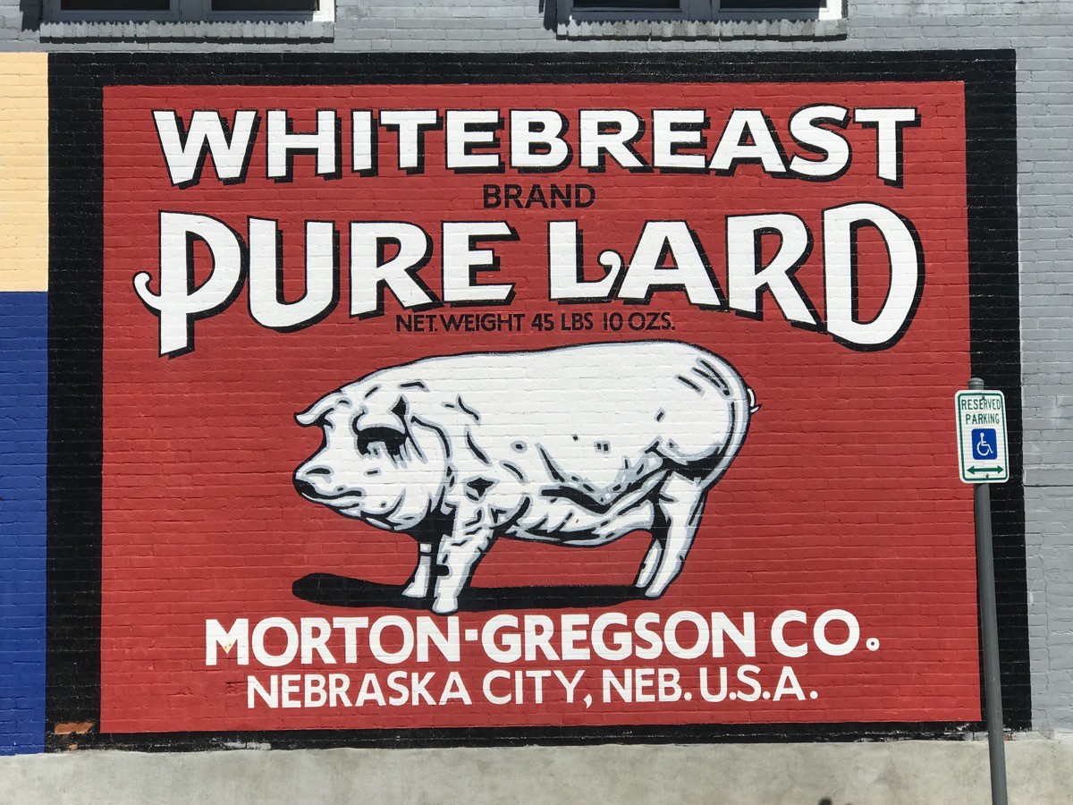
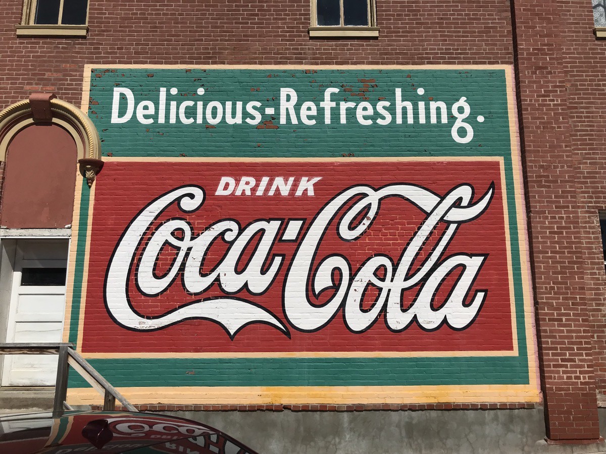
…And finally, the painted trees decorating the town
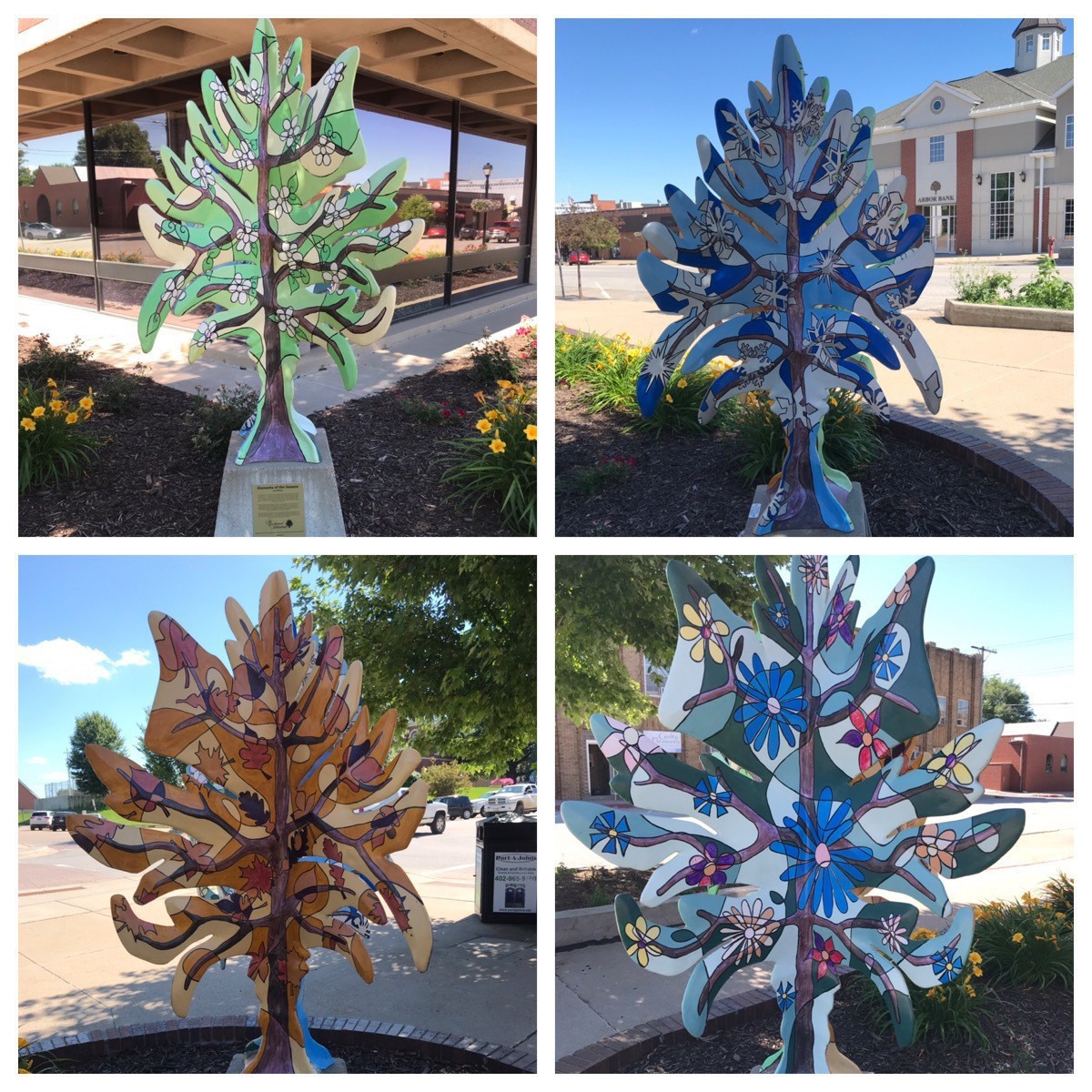
Each tree had four painted sides, but this is the only one where I photographed all four sides. The name is “Elements of the Season”
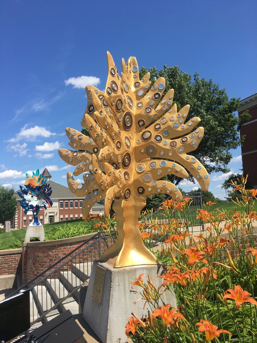
The oooh-aaah tree
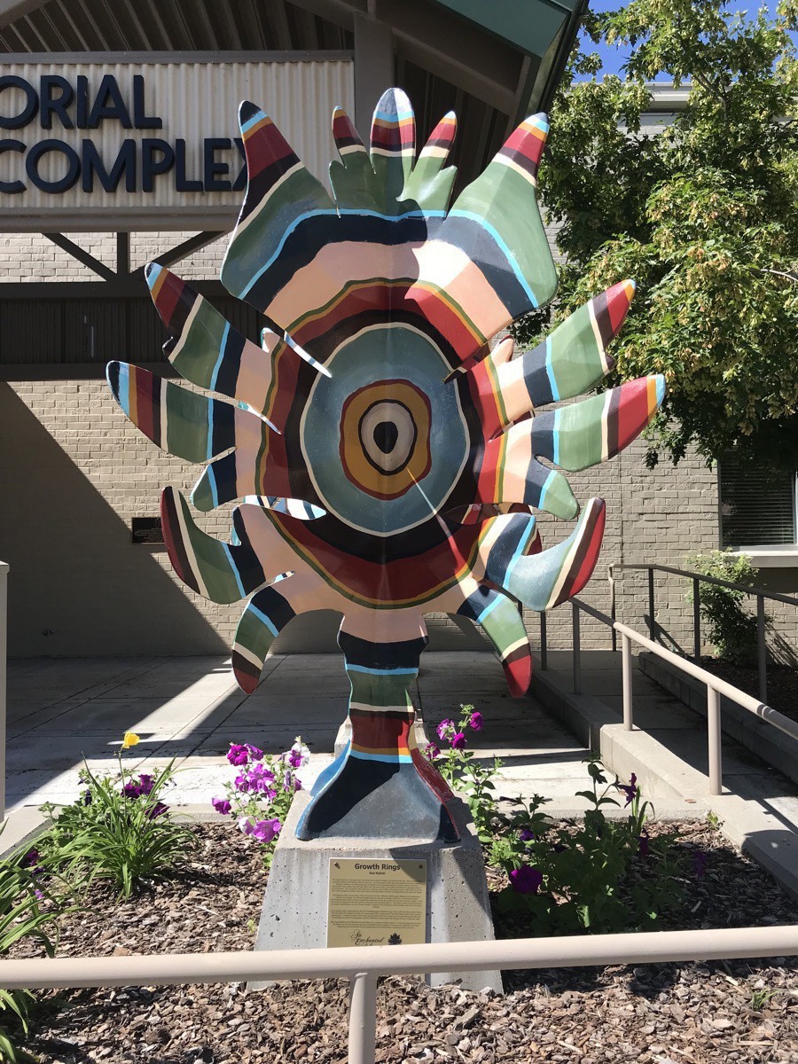
Growth Rings
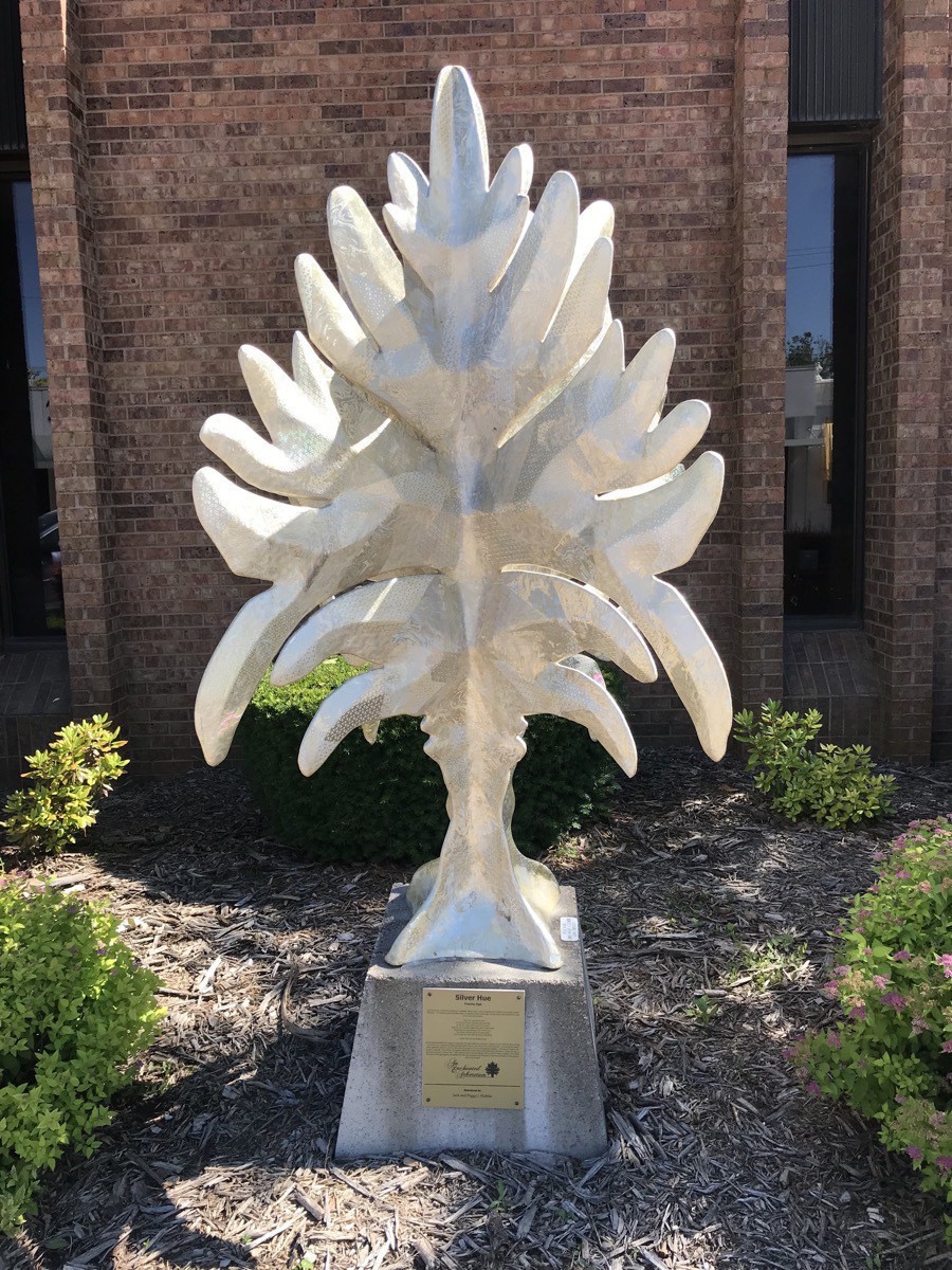 Silver Hue
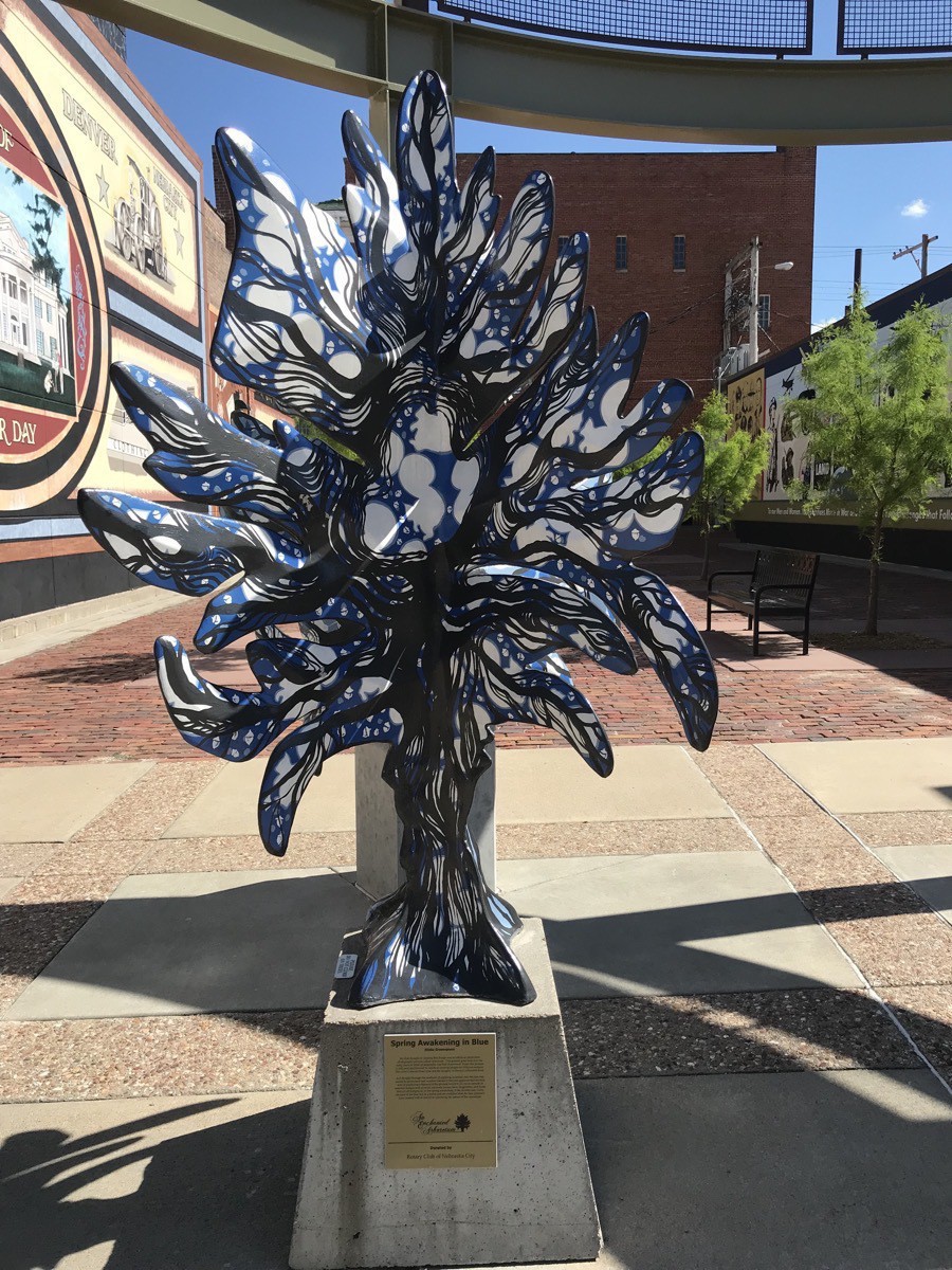 Spring Awakening in Blue
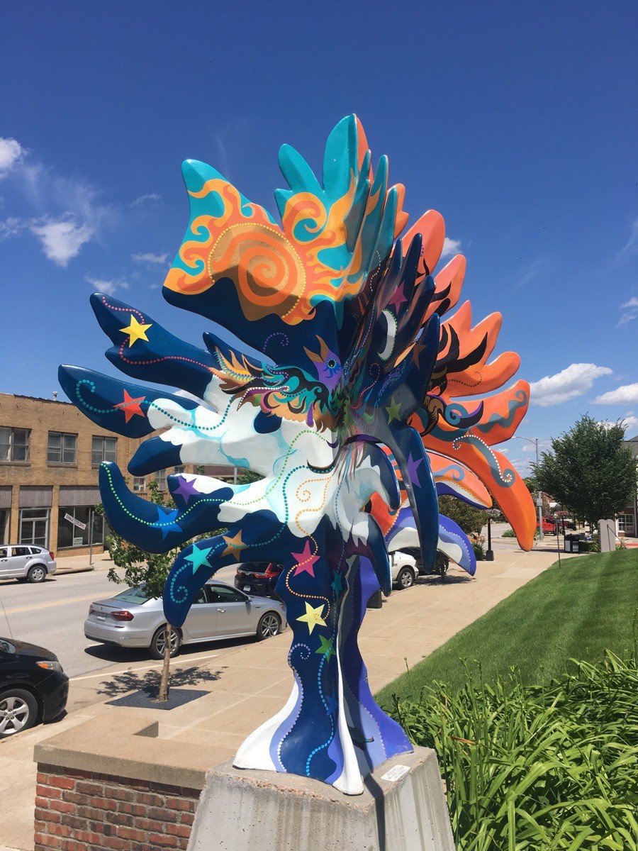
-
Kansas City, MO (Day 24)
Deanna Rose Children’s Farmstead
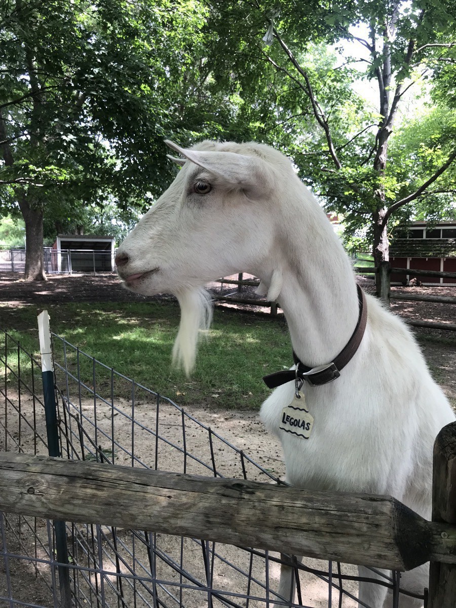
We started this morning with a visit to the Farmstead. The admission was only $3 and it was an amazing place to visit. There were over 250 animals and birds and plenty of opportunities for petting and feeding them. There was a turn-of-the century schoolhouse and main street, complete with a barber shop and a bank — Ben’s Bank. There were opportunities for bottle feeding baby goats, a horse and wagon ride and much more. Ben enjoyed all the animals, but if you have small children, this is an excellent adventure.
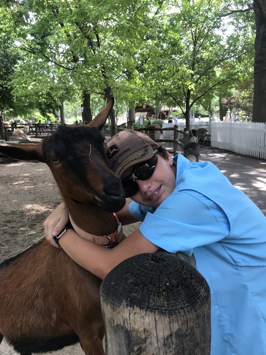
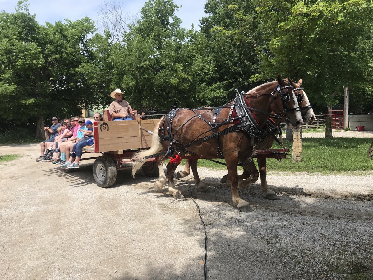
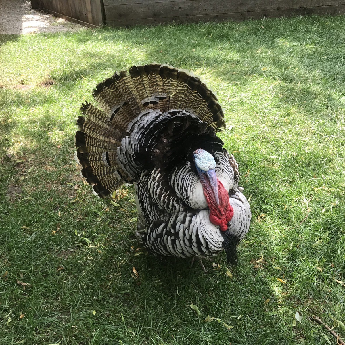
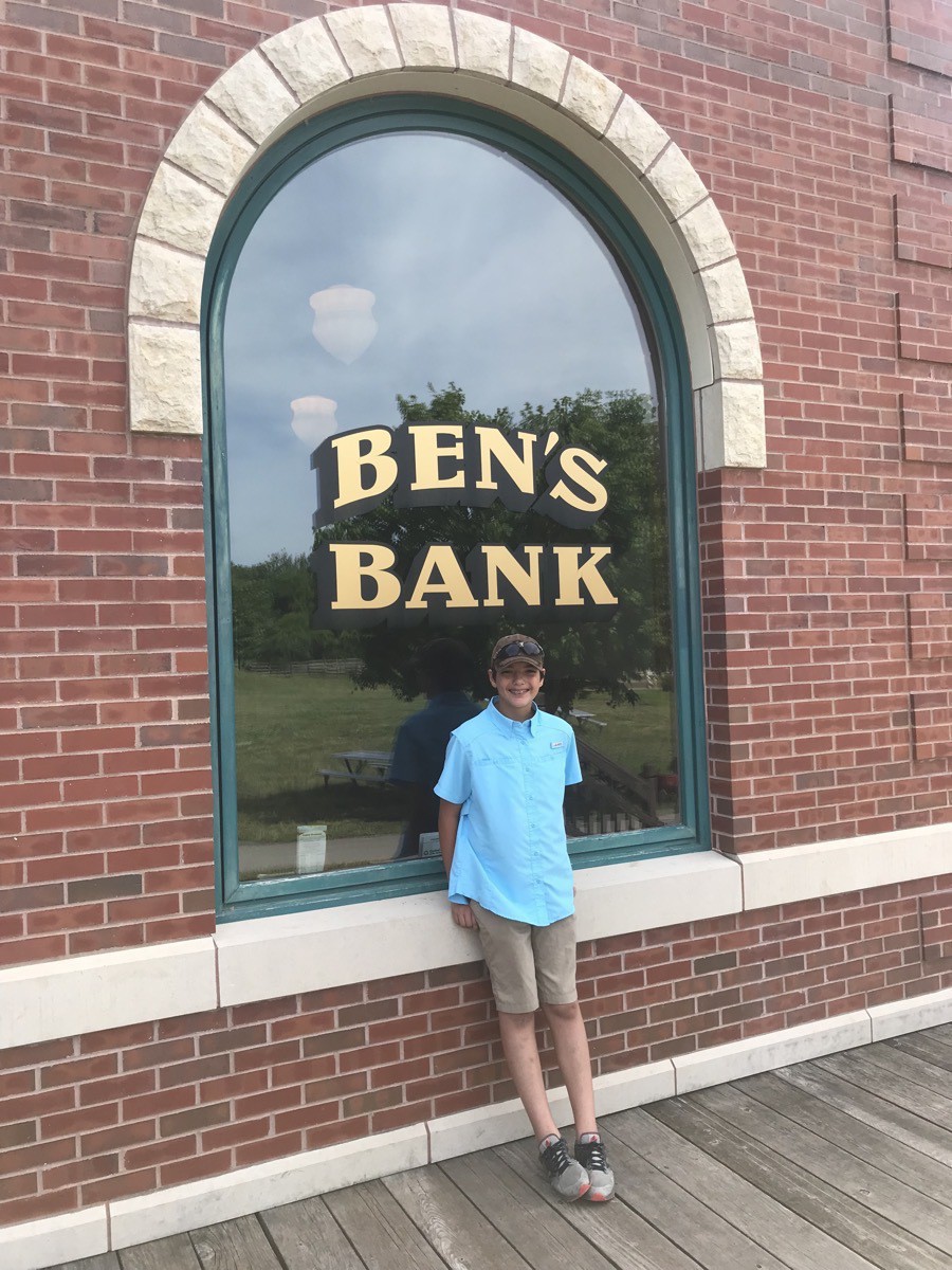
Ben has his very own bank!
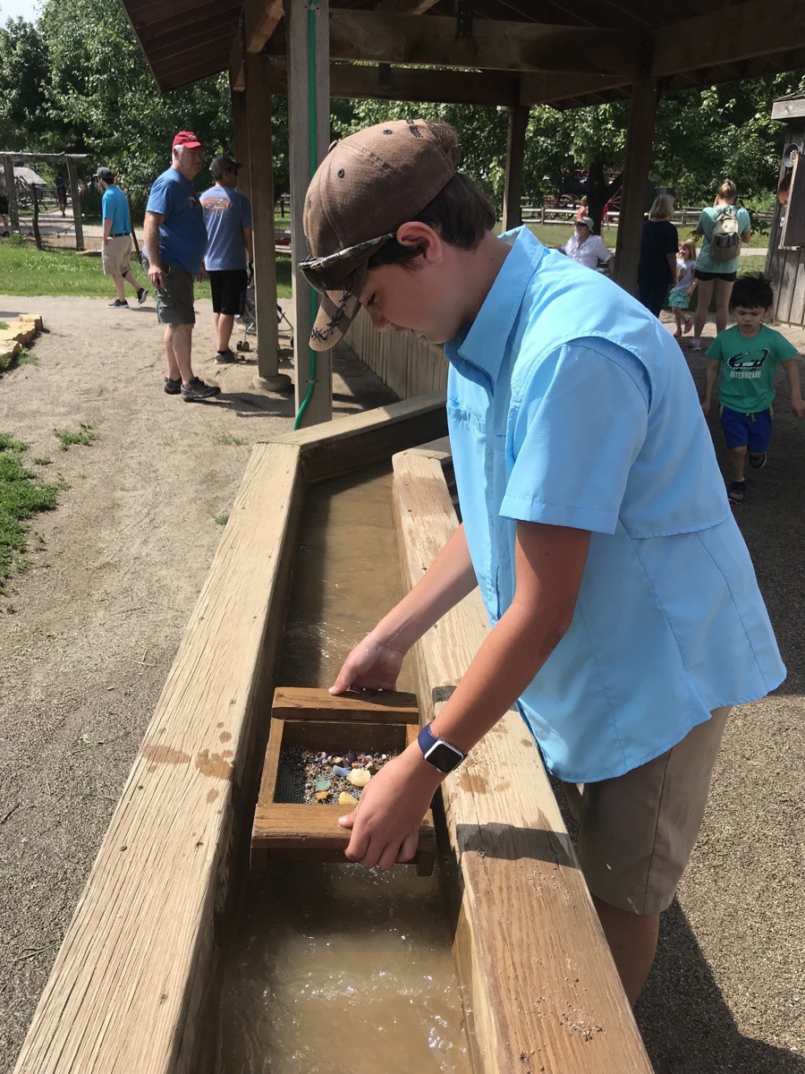
Panning for rocks to send home to Addalynn
TWA Museum
Great place to see the compete history of TWA, an amazing pioneer in aviation travel. So many technological first were implemented by this company. The tour guides are retired pilots and mechanics and have so much knowledge to share on the tour. We were shown the training cockpits that were used before flight simulators. There is also a flight simulator with a volunteer—sometimes a retired pilot—shows you how to fly.
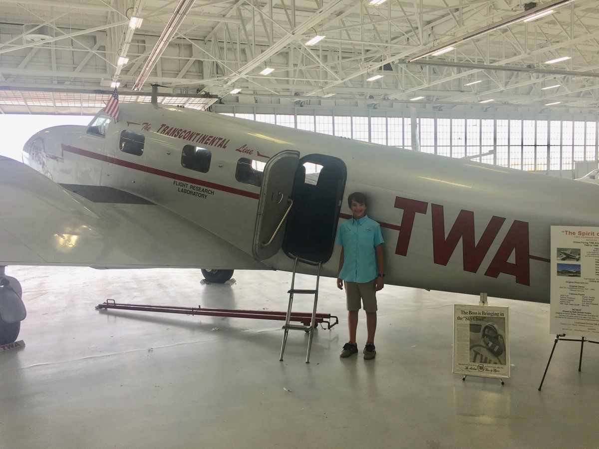
This 1937 Lockheed was just flown to the museum yesterday. It is the oldest flying TWA aircraft and the original cost $39,500. It has a refueling range of 600 miles.
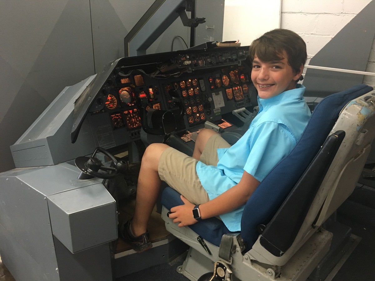
One of the old training cockpits
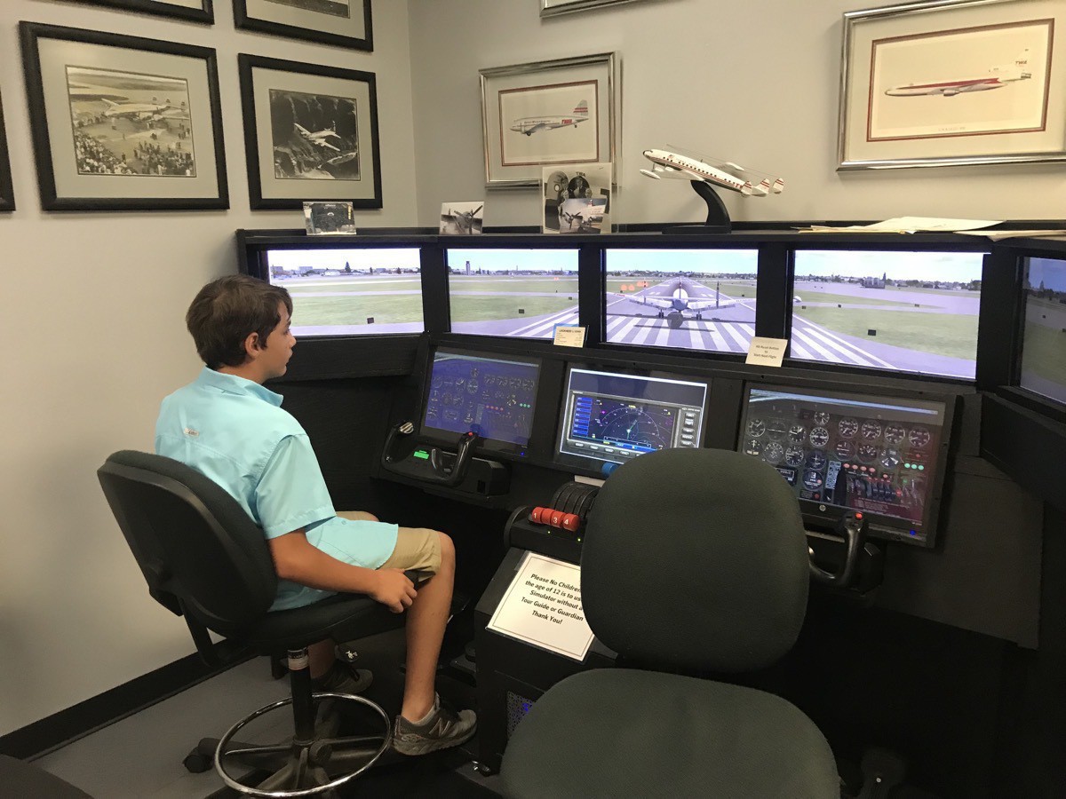
Flight stimulator
The memorabilia and pictures from TWA’s past was very interesting to see. There was also a memorial section for Flight 800, the Boeing 747 that crashed over Long Island killing all 230 people aboard.
Interesting Facts about the Flight Attendants
- 1935 - they were called Hostesses and had to be nurses.
- 1935 until 1968 - forced resignation was at age 32
- Until 1969 the Hostesses could not be married
- 1970 - name was changed to Cabin Attendant
Admission was $7.
Hallmark
The last tour of the day was at Hallmark’s headquarters. We watched a movie of the history of J. C. Hall, the founder. At age 18 he stepped off the train in Kansas City with little more than two shoeboxes of picture postcards and big dreams. He was joined by his brother Rollie and the company was named Hall Brothers. In 1915 a fire destroyed their office and inventory. Their only remaining asset was the safe which they moved to a new location, borrowed $17,000 and decided to start again. That same year they began producing their own greeting cards with envelopes instead of postcard form. In 1917 they invented gift wrap and fancy lined envelopes.
J. C. Hall was an innovator in marketing his cards. In 1928 the company began marketing their cards by putting the name Hallmark on the back of each one. They were the first in the greeting card industry to advertise nationally. The Advertisement was written by J. C. and appeared in the Ladies Home Journal. His next innovation was to sign the first licensing agreement with Walt Disney. Another innovation was when cards were taken out of drawers and placed on display racks. The way we see greeting cards displayed today was an industry first created by Hallmark.
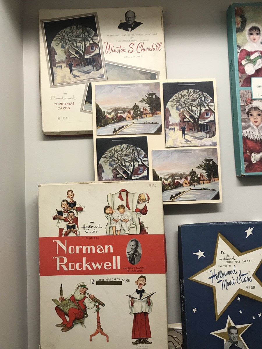
I knew that Norman Rockwell had created artwork for Hallmark cards, but was surprised to learned that Winston Churchill also created artwork that was used in making creating cards.
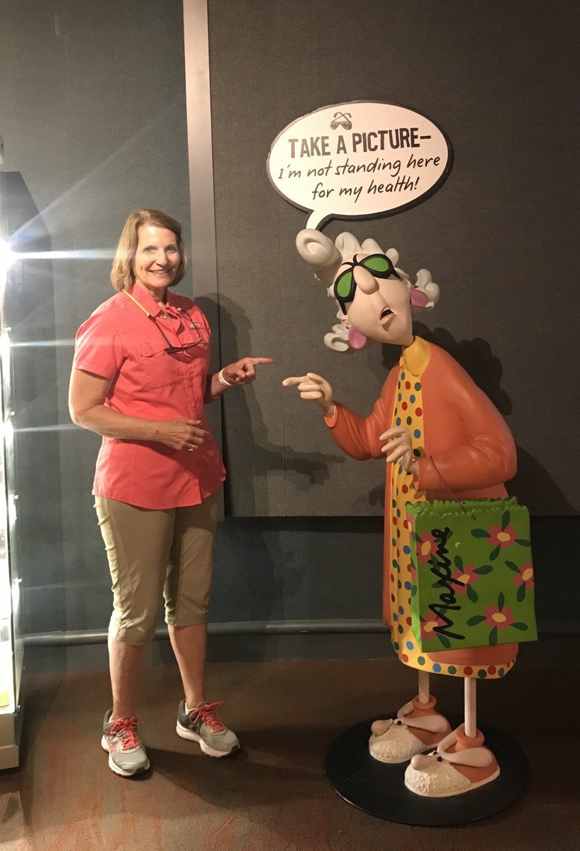
Maxine is one of their famous line of cards
Admission was free
Afterwards we stopped for ice cream at Baskin Robbins before heading back to Big Ben. After dinner we played several rounds of canasta.
Travel Data
- Longview Lake Campground $25
- Total Miles Driven: 2,067 in Big Hat and 798 in the CRV
- Gasoline Total: $719.59
-
Fast Lane Cars and the National Transportation Museum (Day 22)
Fast Lane Cars
This morning after breakfast we walked to Fast Lane Classic Cars which was less than a mile from the RV Park. There were over 180 dream cars for sale. The cars are in mint condition—just like being in a new car showroom.
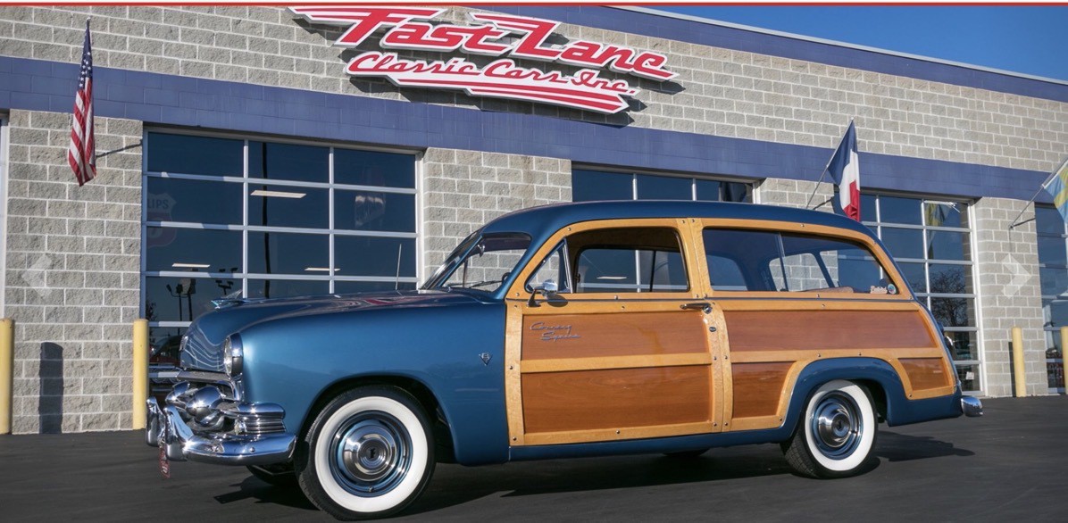
1951 Ford Country Squire $79,995
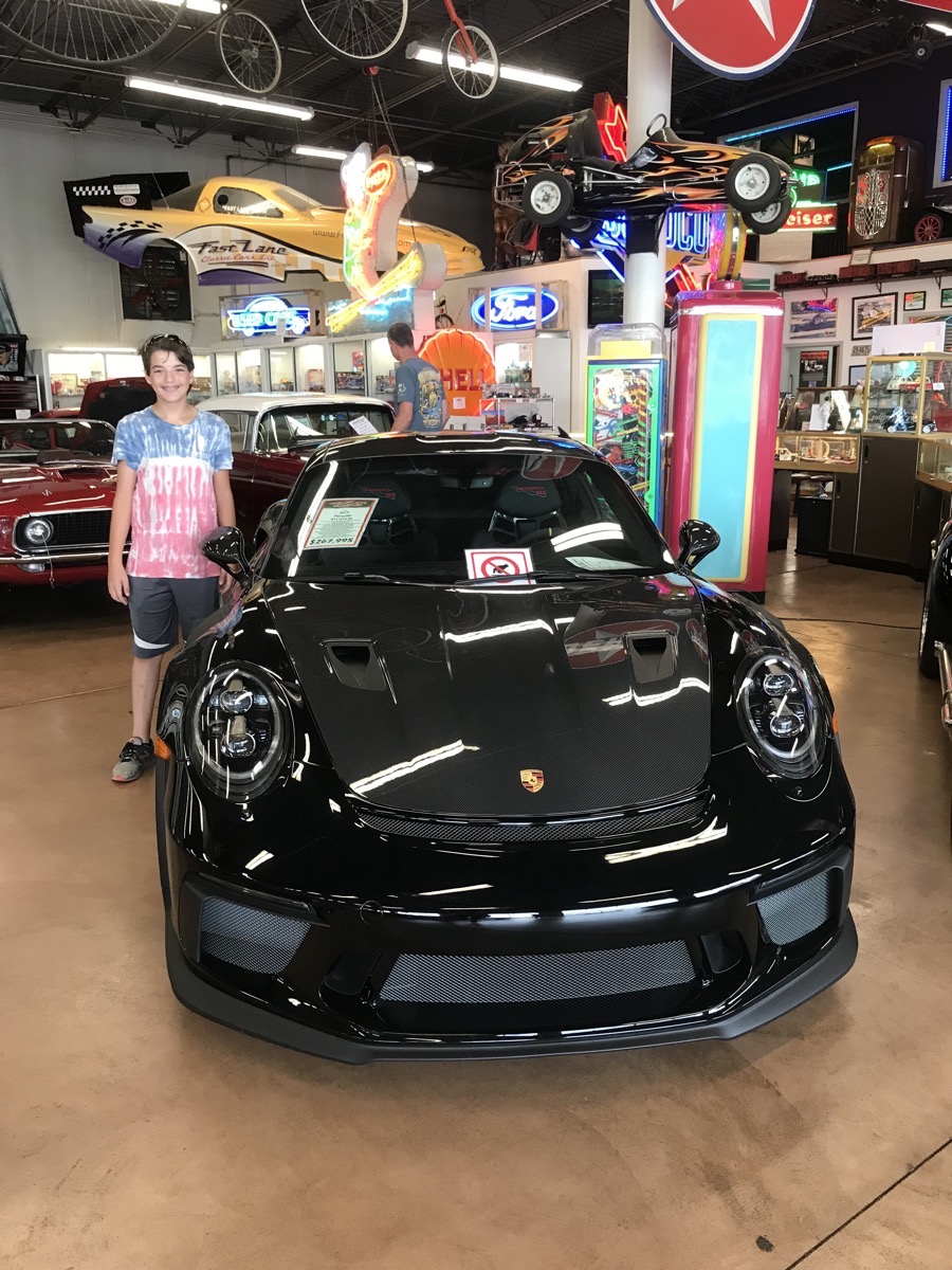
Ben found his dream 2019 Porsche 911 GT3 RS there for only $267,995.
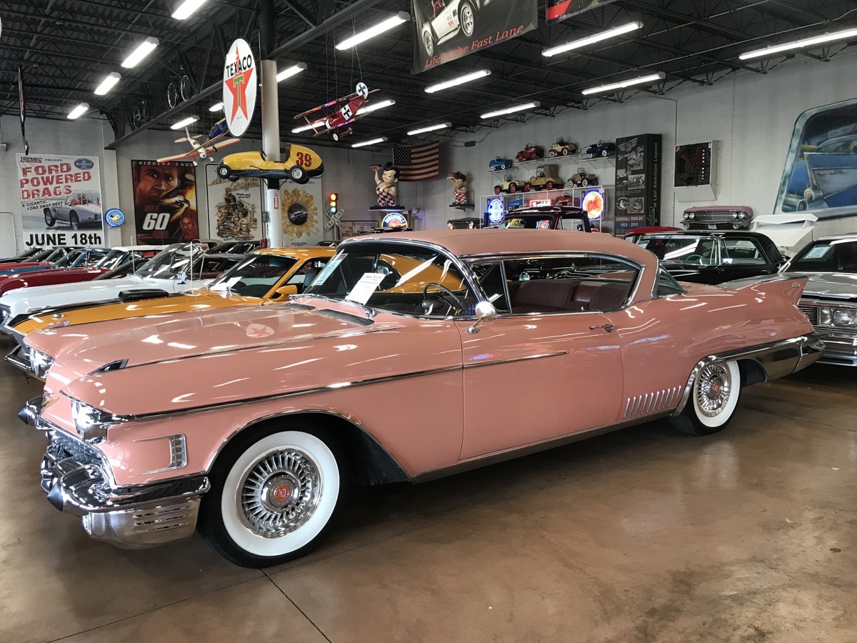
1958 Cadillac Eldorado Seville - $46,995
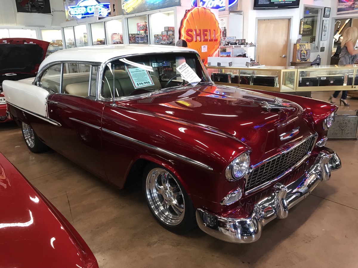 1955 Chevy Bel Aire for $76,955
After spending over an hour checking out all the cars, we walked back towards the RV Park and then walked into the town of St. Charles along the road that followed the Lewis and Clark Trail to see what was there. Mostly antique stores (which would make sense since we were in the historic part of town) and a nice town park were what we saw. Some of the town flooded in the recent rains and a few of the streets were still closed.
National Transportation Museum
After lunch we drove to the National Transportation Museum in Kirikwood, MO. It was founded in 1944 and features a wide variety of vehicles spanning fifteen decades of American History. There are cars, a tugboat, aircraft, streetcars, locomotives and other railroad equipment as well as a miniature train display and a handcar rail track for kids.
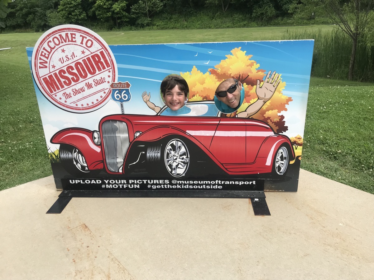
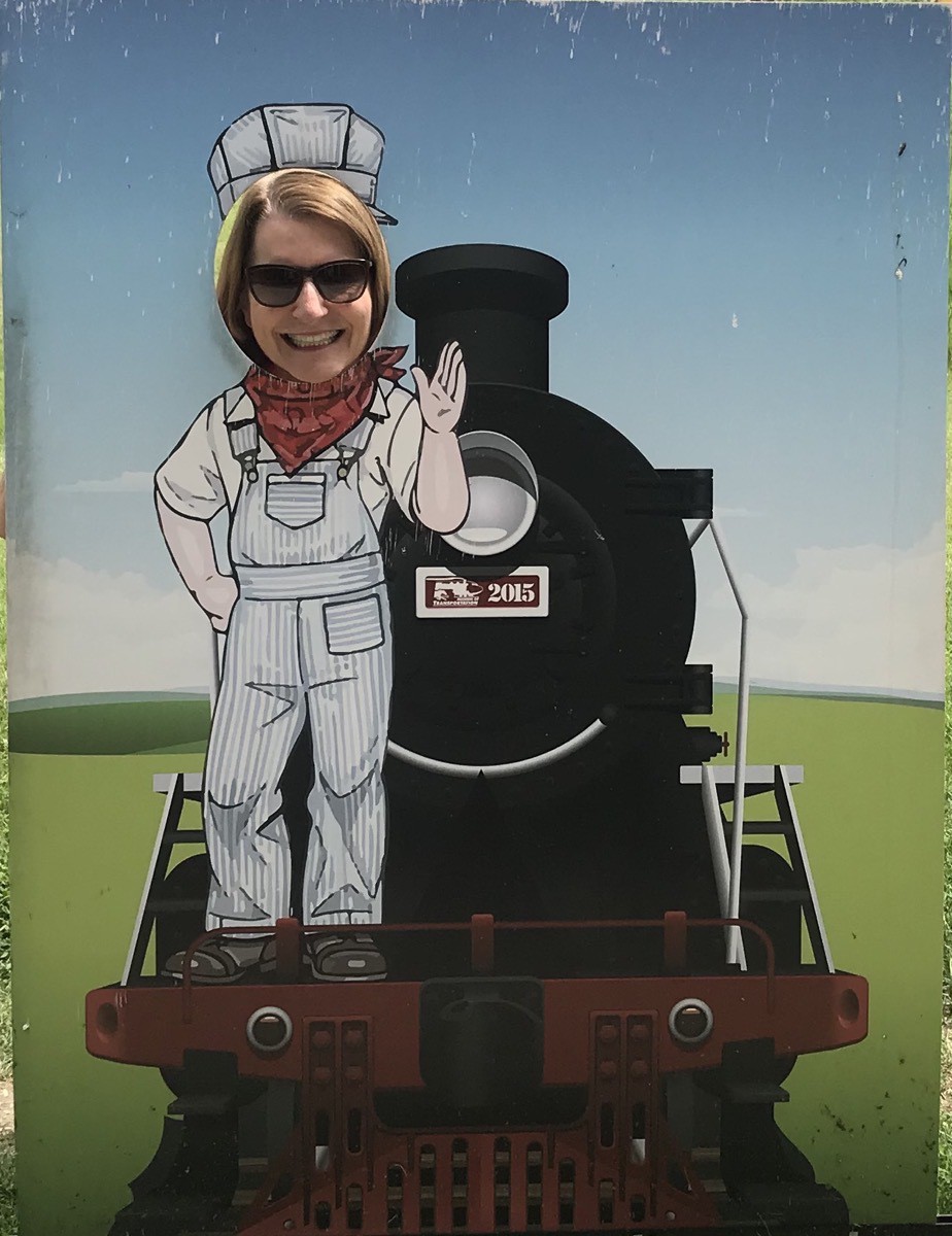
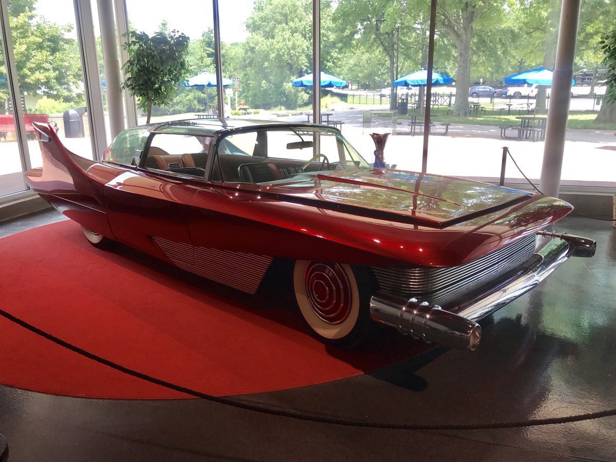
1960 DiDia driven by Bobby Darin. It cost $153,647 when new.
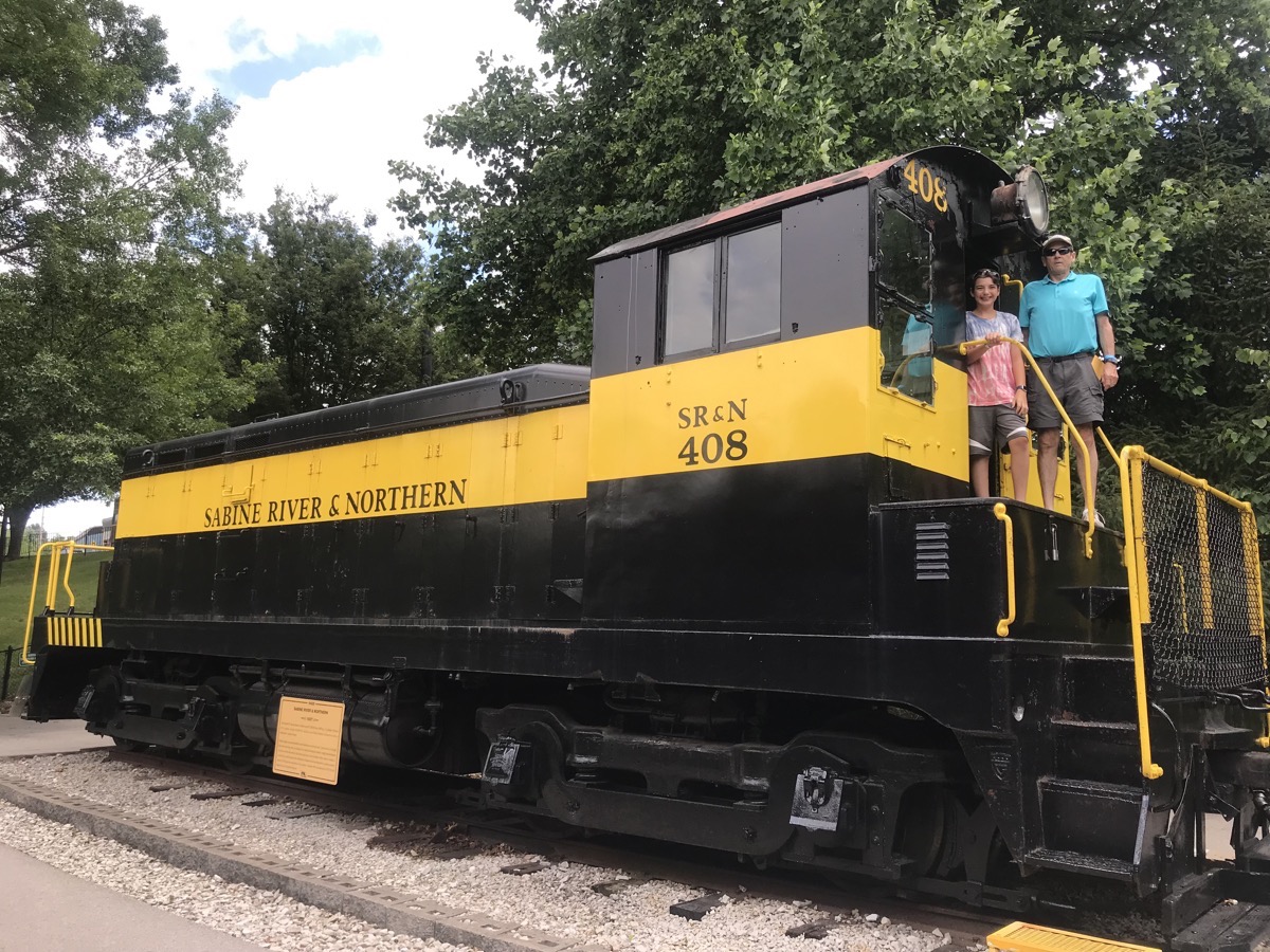
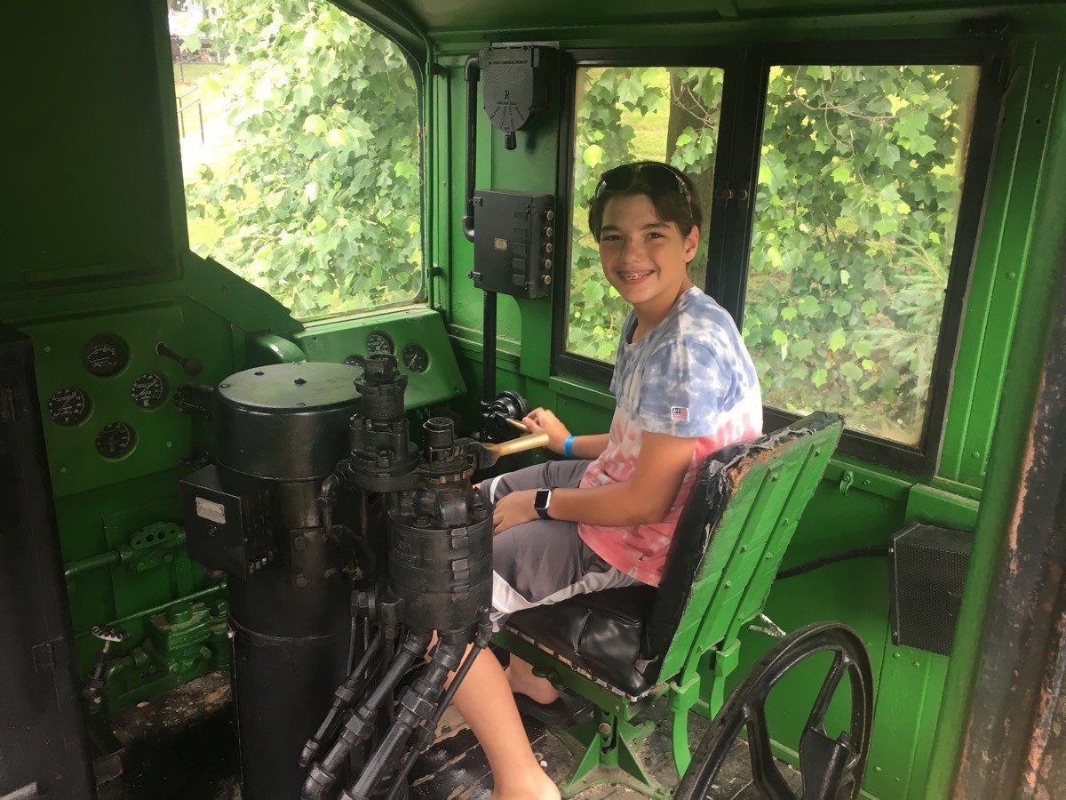
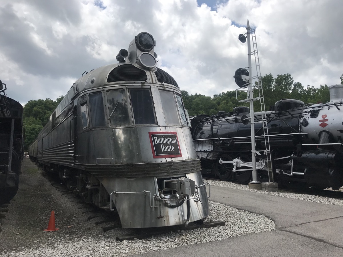
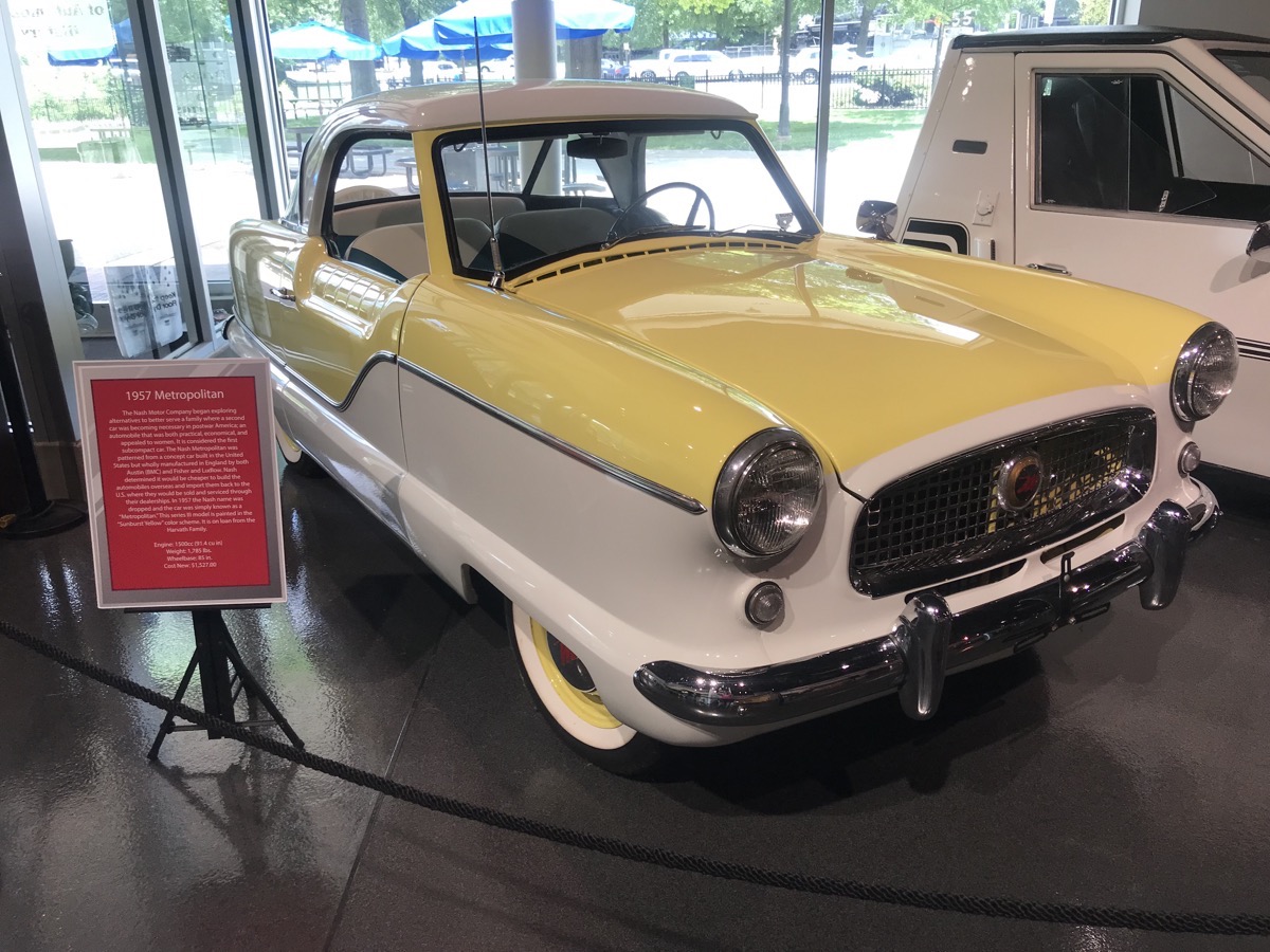 1957 Nash Metropolitan was $1,527 when new. It was considered the first subcompact car.
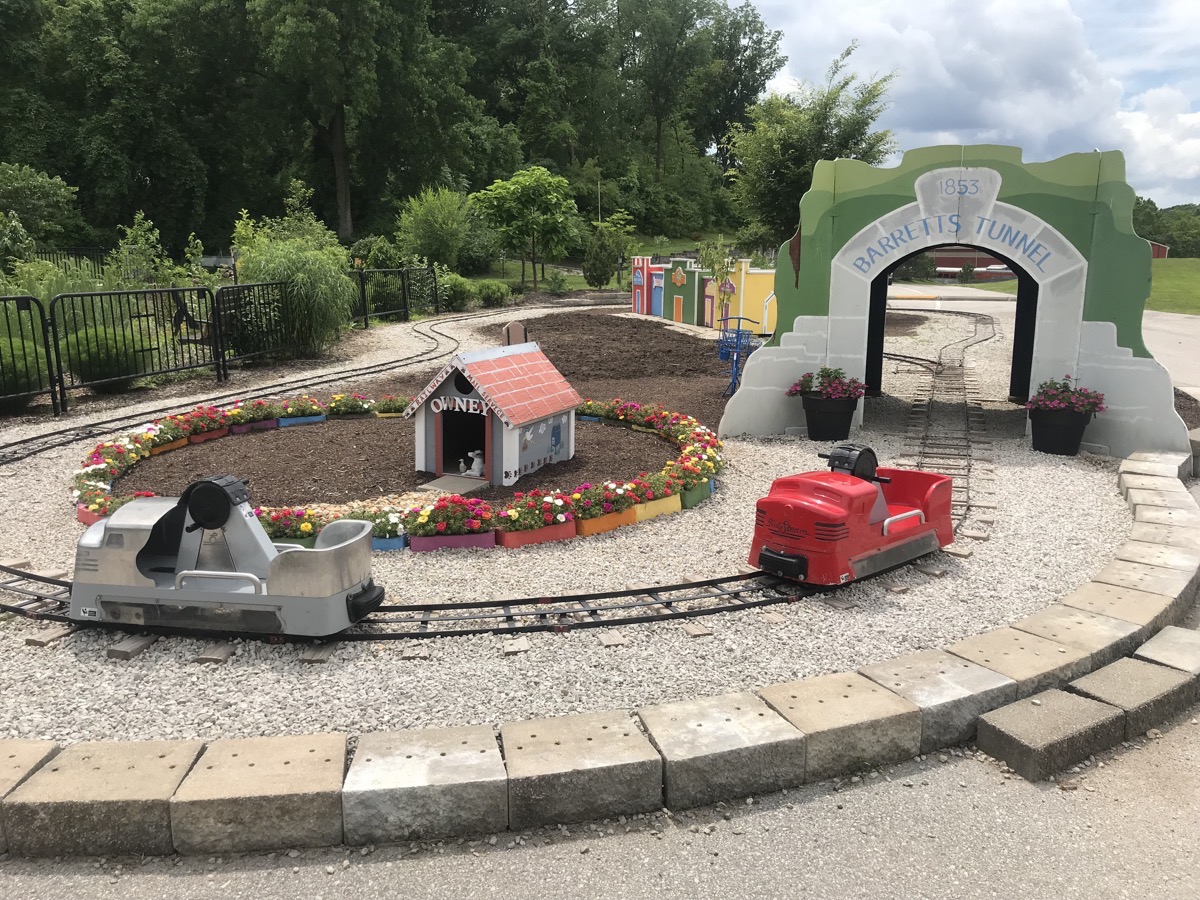
These cars are hand cranked by the kids who ride them.
We stopped for an afternoon snack at Baskin Robbins before heading back to Big Hat for dinner and one round of canasta.
Trip Data
- Gas $689.20
- Campgrounds $800.54 (averaging $36.39 per night)
-
St. Louis Zoo (Day 21)
St. Louis Zoo
We spent a very nice day at the St. Louis Zoo. Admission was FREE, but we had to pay $5 to get a permit to park the motorhome and then $10 parking for the car.
We saw penguins, a polar bear, lions, and tigers and bears. What a wonderful place to spend the day!
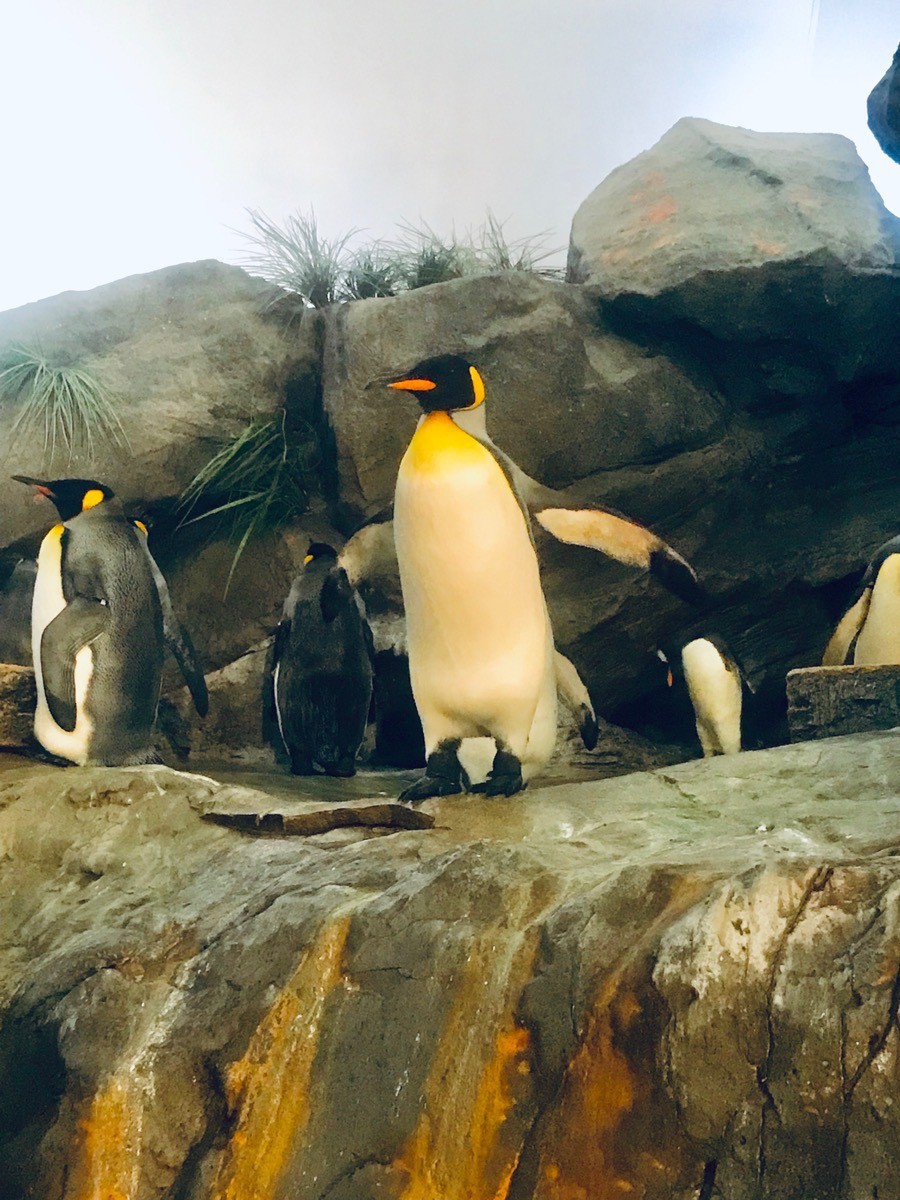
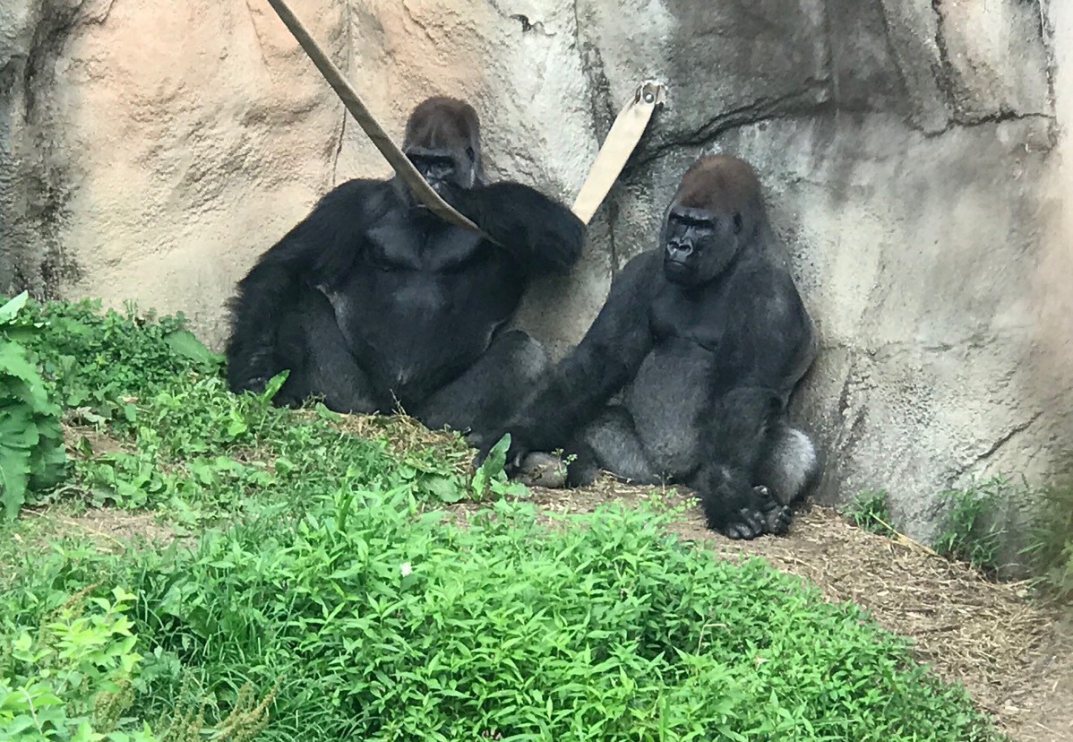
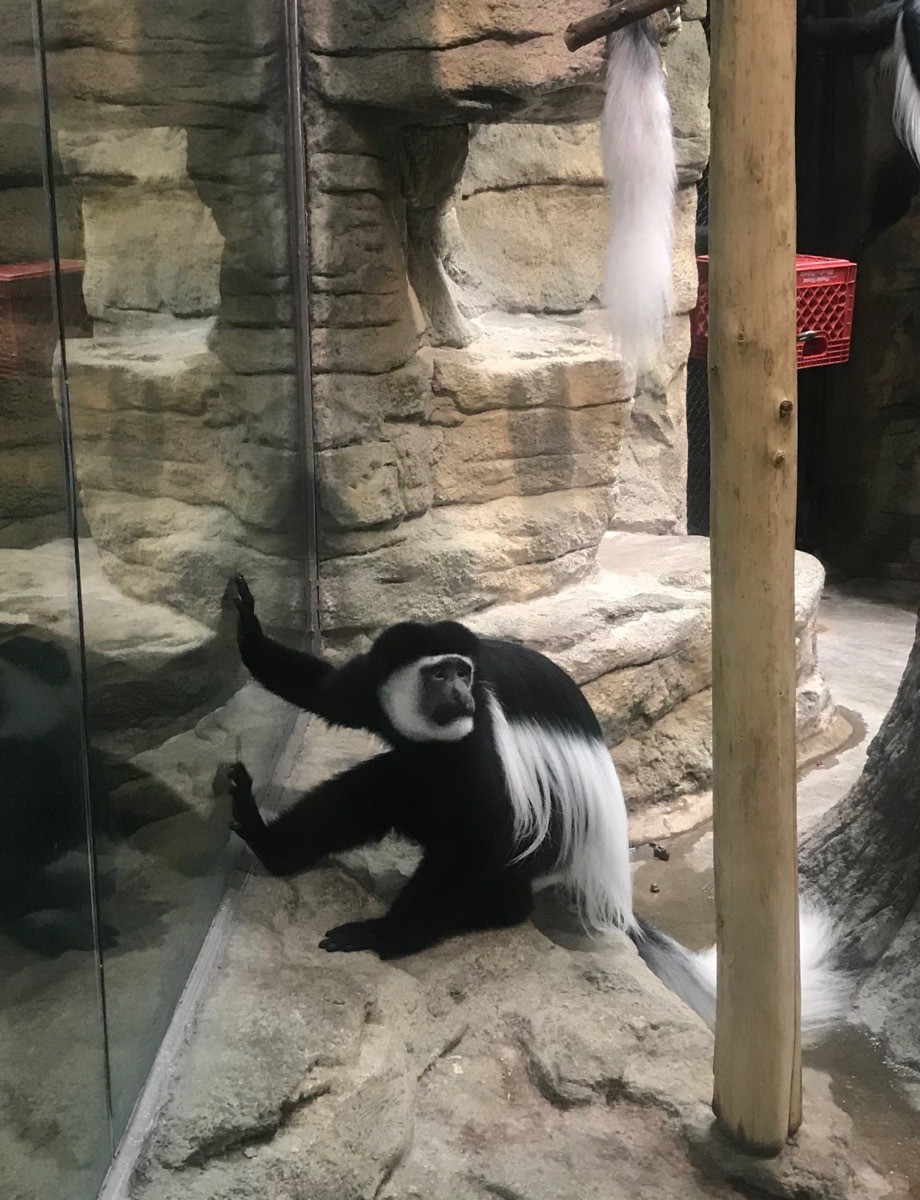
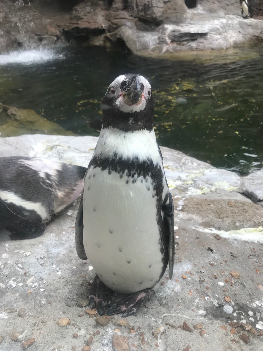
Afterwars we drove to St. Charles, MO where we stayed at the Sundermeir RV Park. We ate dinner in Big Hat and then we walked to Dairy Queen (1.5 miles roundtrip) to get our dessert.
We taught Ben how to play canasta and played for an hour before bedtime.
-
St. Louis City Museum and Arch (Day 20)
We drove from Cape Girardeau to St. Louis RV Park where we stayed for the night. Once we plugged in Big Hat and ate lunch, we walked .8 miles from there to the City Museum.
City Museum
City Museum is a hundred-year-old warehouse in downtown St. Louis that artists have repurposed pieces of old cities to build miles of tunnels, slides, climbers, bridges, and castles. There are secret passages and grand galleries, playgrounds and ball pits, a rooftop school bus and a Ferris wheel and a huge cave with seemingly endless tunnels, as well as two 10 story slides. There is something for ALL ages here.
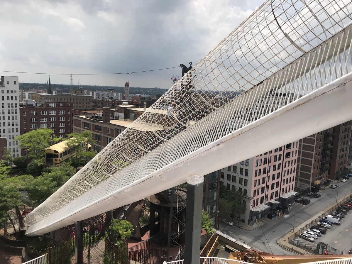
You climb up on the top part (the round cage) and then slide down is on the bottom.
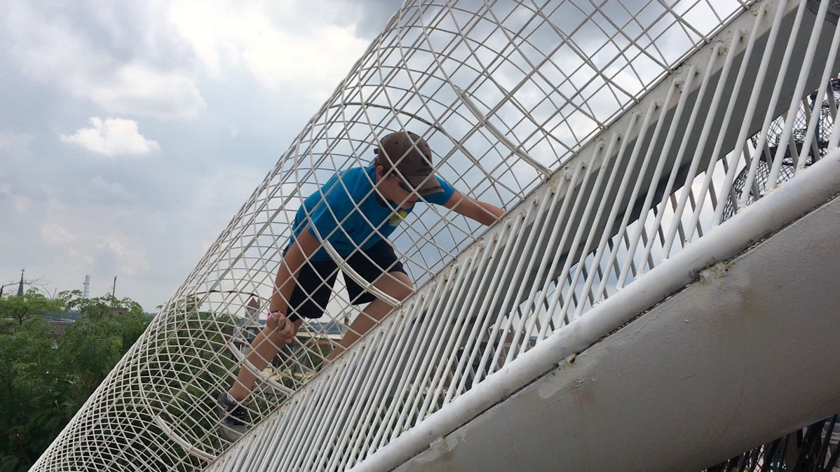
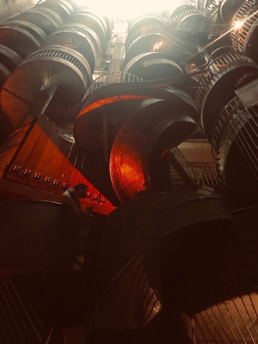
These slides come down ten stories
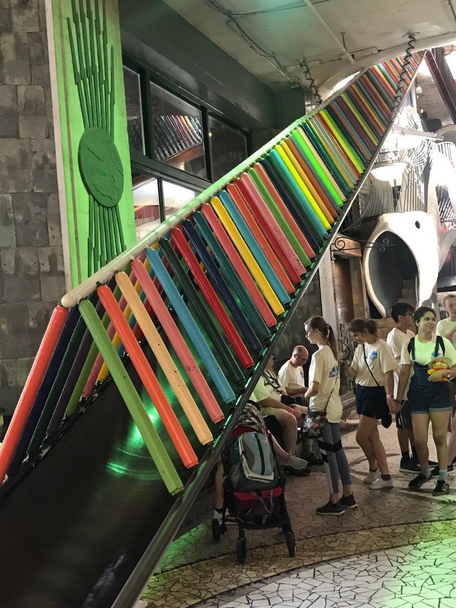
Another colorful slide coming down!
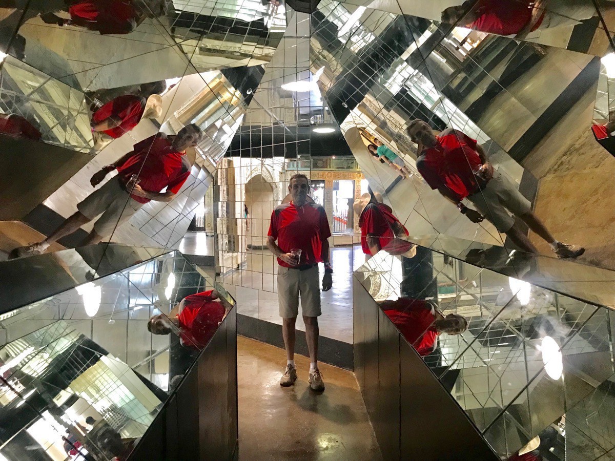
A Kaleidoscope of Tom
From the City Museum we walked to the Gateway Arch which was another 1.9 miles. We watched a movie about the construction of the Arch and then rode a tram 630 feet to the top of the Arch. The base of the Arch is 60 feet underground in bedrock. Because of the recent heavy flooding, water was seeping in a little at the base of the tram. The Mississippi River in front of the Arch was still flooded . The walkways for the riverboat dock and the helicopter pad for tours was still underwater.
There was an excellent interactive museum at the Arch tracing the stories of the early pioneers’ westward travels.
After touring the Arch we walked back to the RV Park which was 2.5 miles.
Tom and Ben went swimming after dinner while I did the laundry.
Trip Data
- Walked 7.9 miles today
- RV Park: St. Louis RV Parque $57.01
-
Memphis - Day 18
This morning we drove down to the visitor’s center and parked the car. Tom got all our bikes off of the bike rack because we were planning to ride across the bridge to Mud Island. As it turned out, Tom’s bike is broken, so Ben rode his bike while Tom and I walked across the bridge to the island.
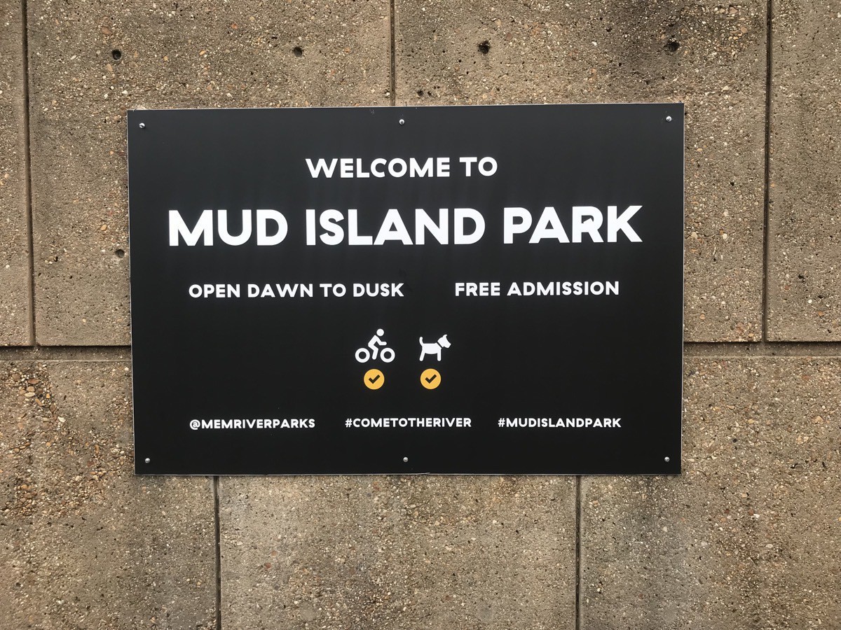 Mud Island has a miniature version of the 1,000 mile lower Mississippi River that is a one-half mile concrete sculpture. Each step (or 30 inches) represents one mile. This flowing model portrays important features of the river and its floodplain, with an inlaid street map of each major community along is banks. A vertical scale of one inch to eight feet emphasizers the wandering elevation. The buff-colored center portion of the model is the Mississippi floodplain, including all the holes, sandbars, bends, and oxbow lakes that surround the river channel.
The river model is a giant jigsaw puzzle, made up of 1,746 pre-cast concrete panels, each weighing 8 1.2 tons, An average of 1,200,000 gallons of waster flows through the system.
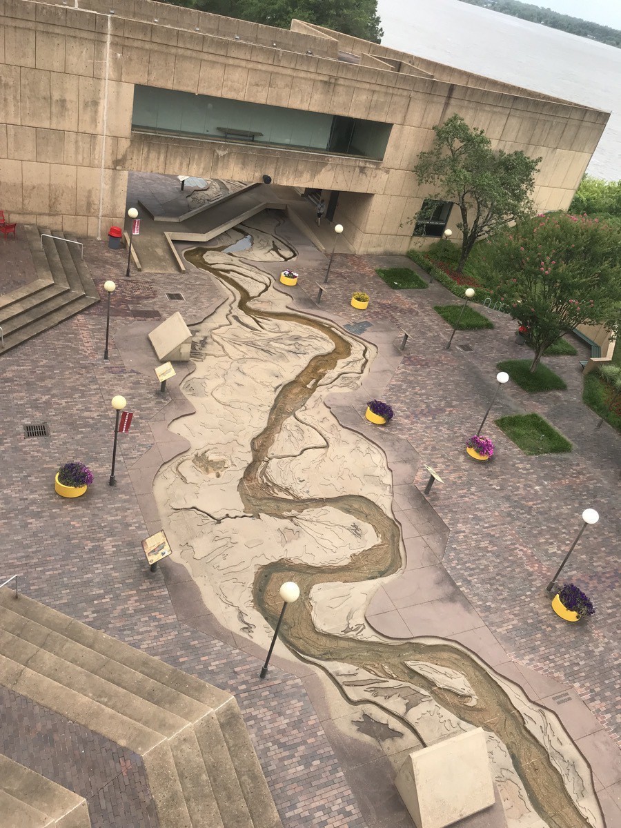
Looking down on the Mississippi River model as we descended the stairs
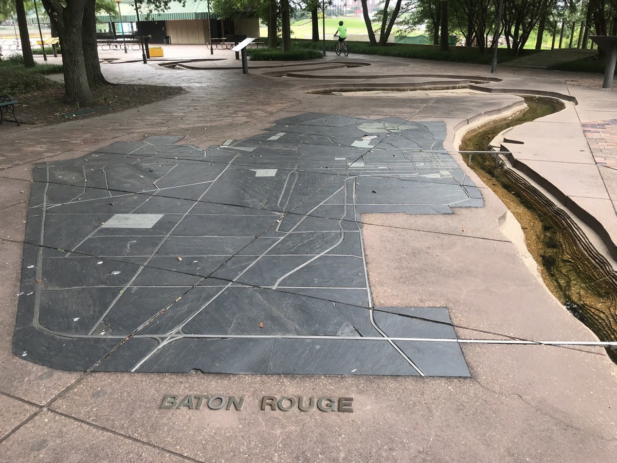
Some major cities along the river are depicted on the side. Here is Baton Rouge
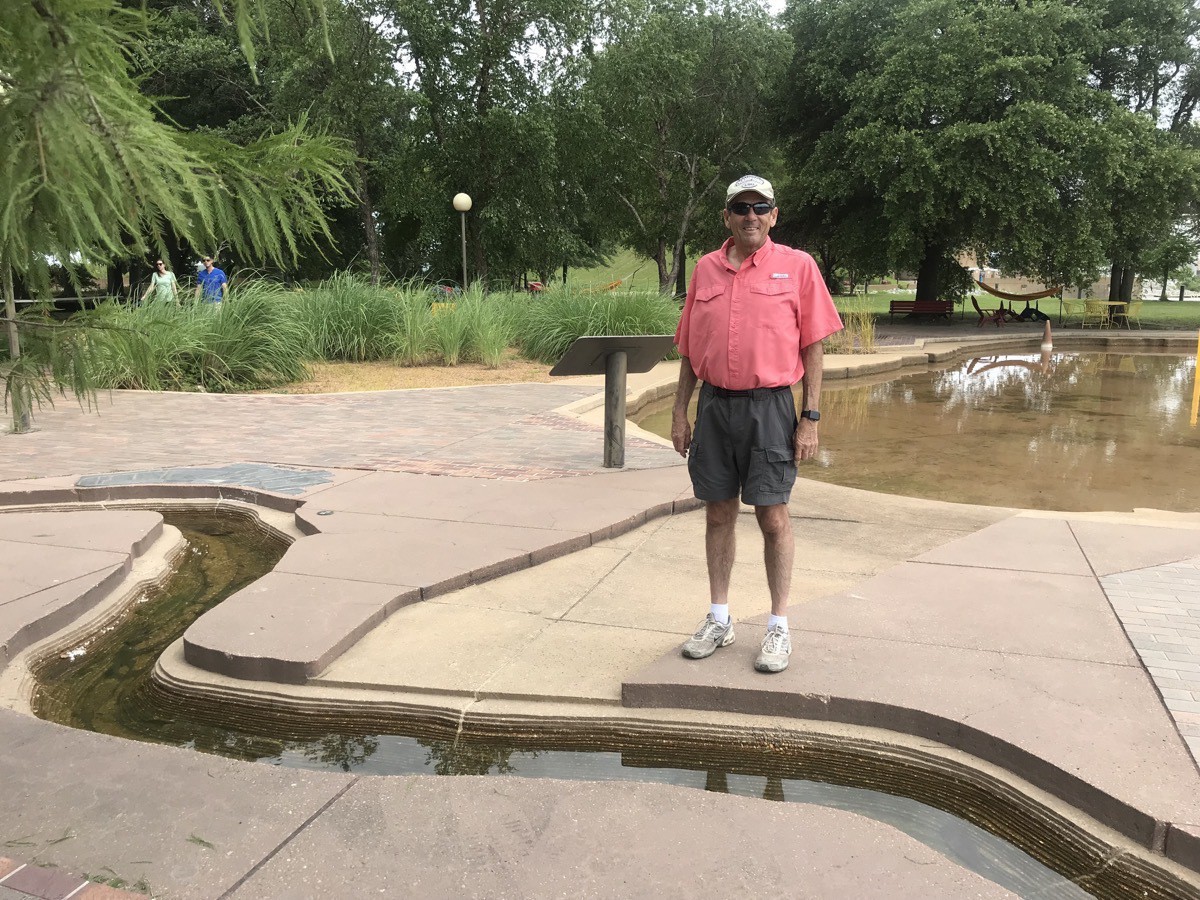
Tom is standing beside the Bonne Carrie Spillway in his hometown of Norco
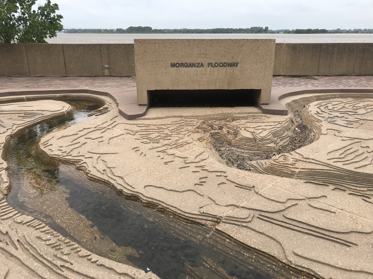
Before we left on vacation they were planning to open the actual Morganza Spillway in Louisiana on June 6 because of flooding in the midwest states, but the opening was postponed indefinitely
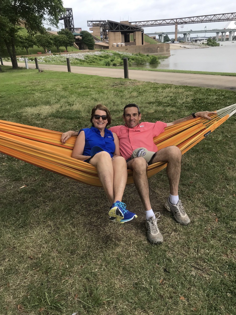 The first bridge in the background is the one we walked across to get to Mud Island.
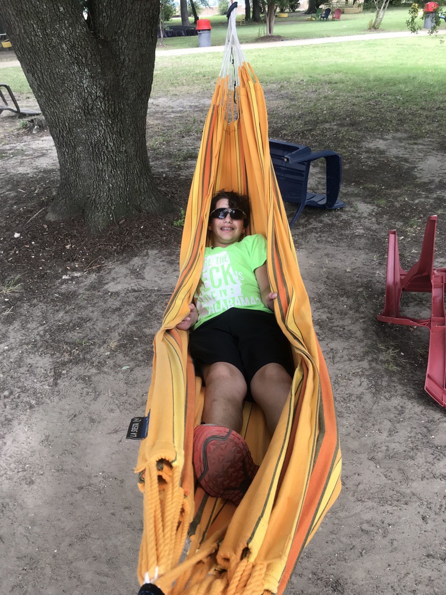
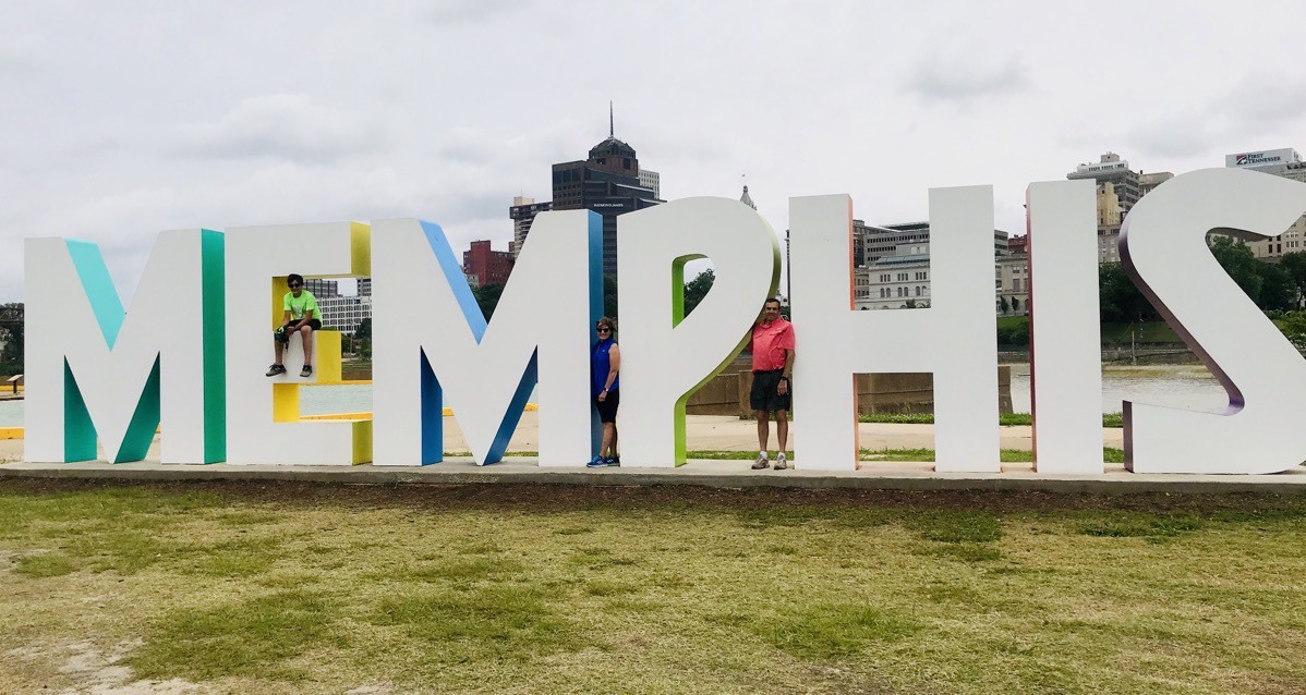 Look carefully and you can find all three of us in Memphis
We walked from Mud Island back up to Beale Street where we ate a quick lunch at Subway before touring the Memphis’ Rock & Soul Museum..
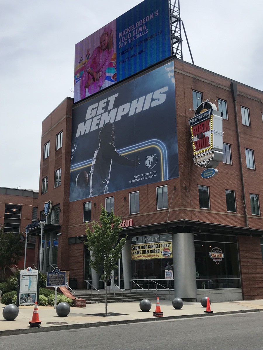 The Rock and Soul Museum
National Civil Rights Museum
A complex of museums and historic buildings. Its exhibits trace the history of the Civil Rights Movement in the US from the 17th century to present. The museum is built around the former Lorraine Motel, where Rev. Martin Luther King, Jr. was assassinated on April 4, 1968.
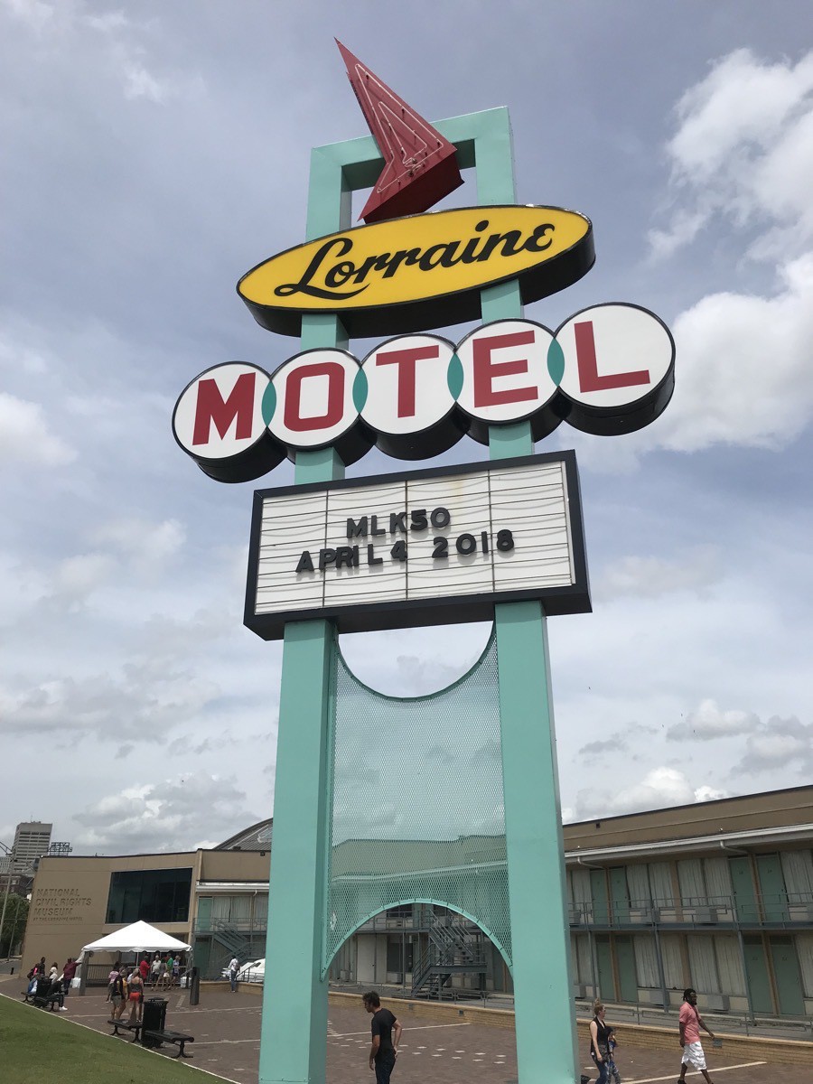
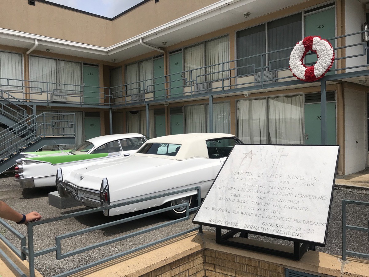
King was standing outside of room 306 when he was shot
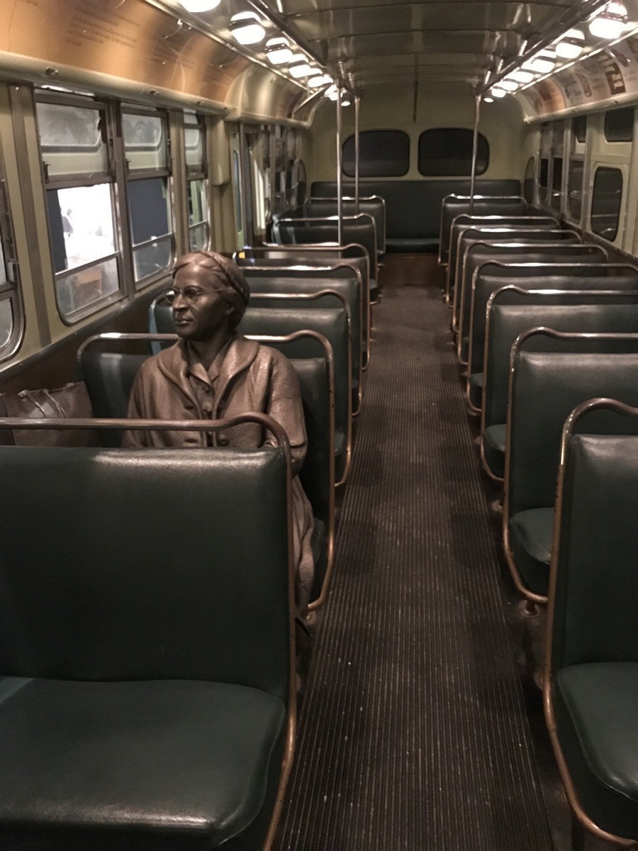
Statute of Rosa Parks
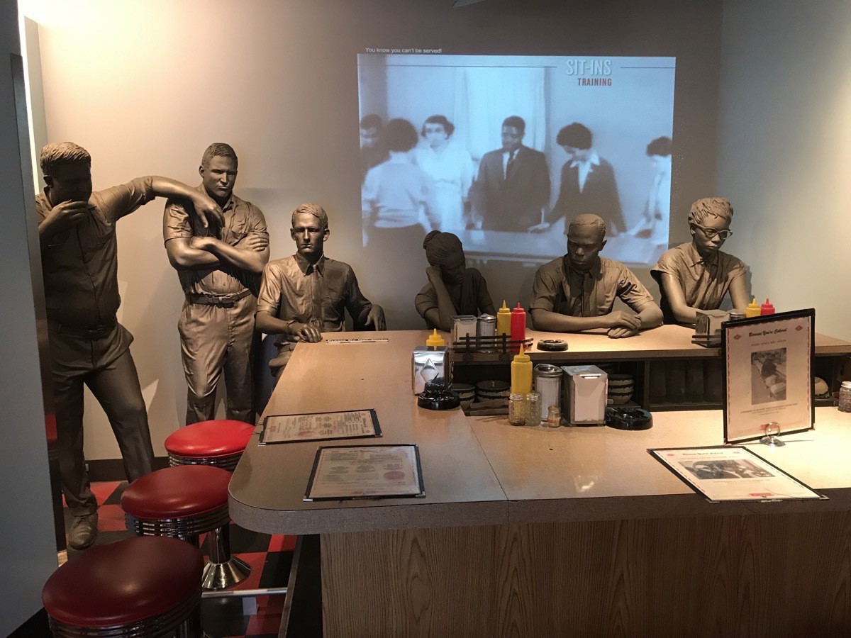
Lunch counter sit in in Greensboro, SC where black citizens were not allowed to be served.
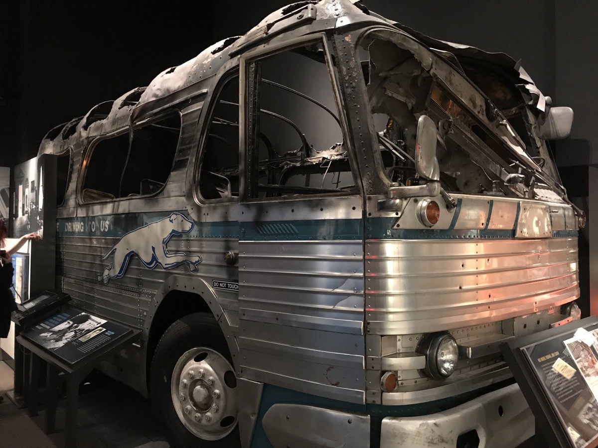
Klansmen attacked the Freedom Riders in Anniston, AL by slashing the bus tires and then threw a firebomb into the bus. At first they held the bus doors shut to keep people couldn’t escape, but eventually the doors were opened and everyone was able to escape.
Peabody Hotel and its ducks
At 4:45 when we were walking past the Peabody Hotel on our way back to the car, we decided to go back in and see if they was room to see the ducks get out of the pond and walk along the red carpet to the Duck Palace on the roof of The Peabody Hotel. This time we got lucky and were actually able to see them.
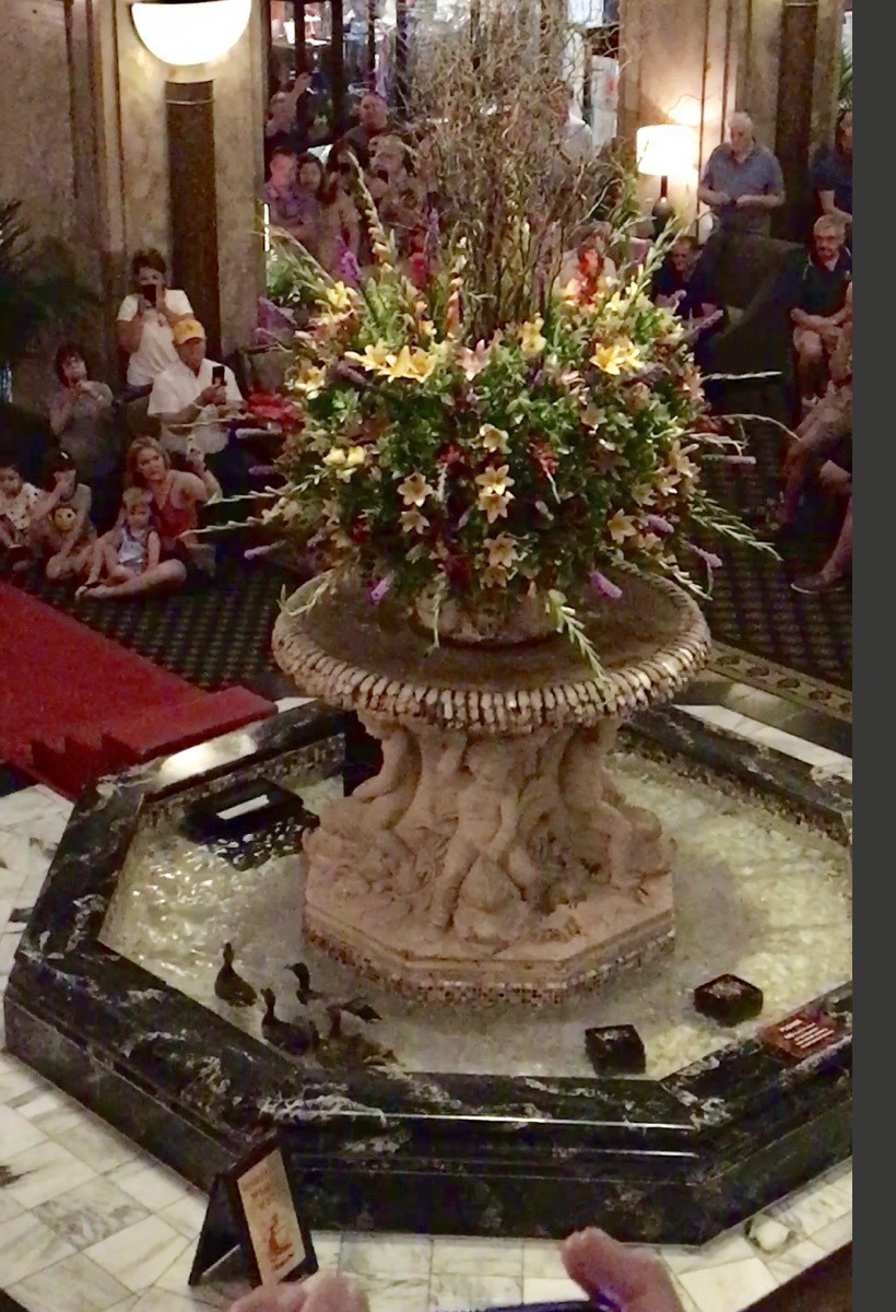
Swimming in their fountain (notice the steps and red carpet on the left side used for their exit from the fountain)
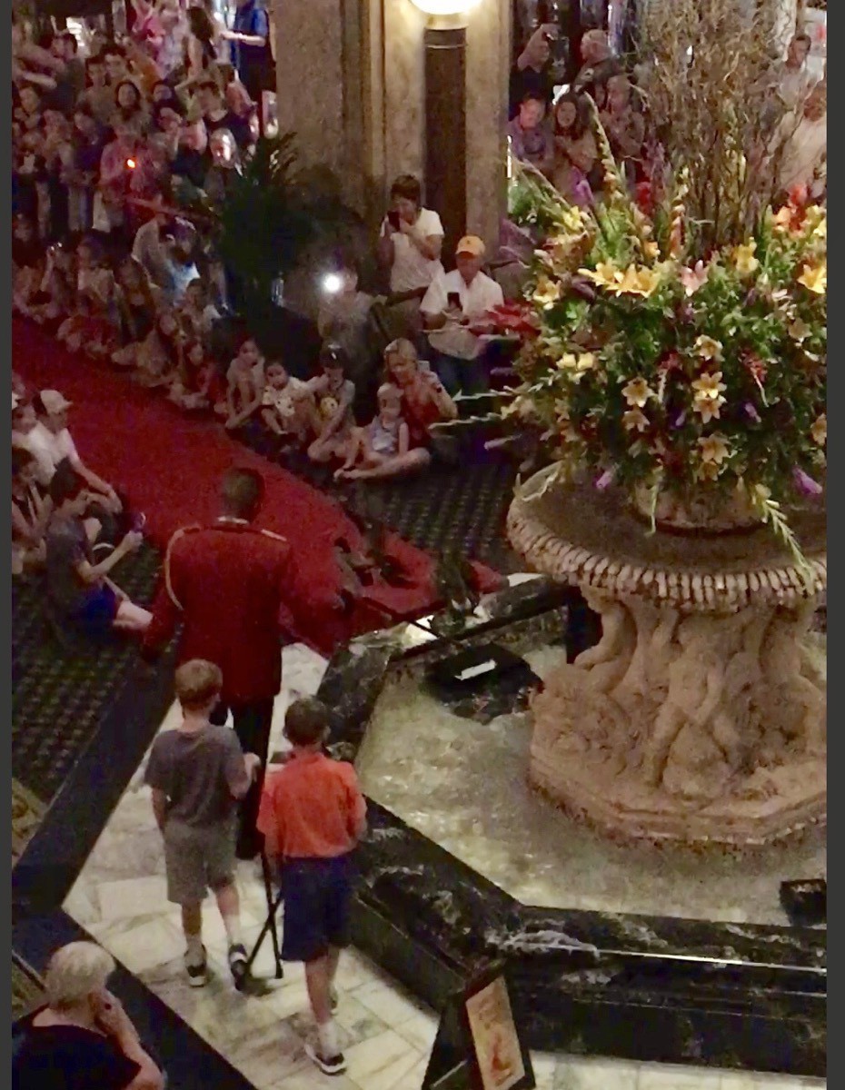
The Duckmaster in his red jacket guiding the ducks down the carpet. (The two boys walking behind the Duckmaster were honorary Duckmasters for the day)
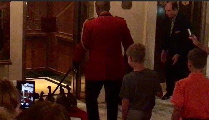
Ducks walking into the elevator
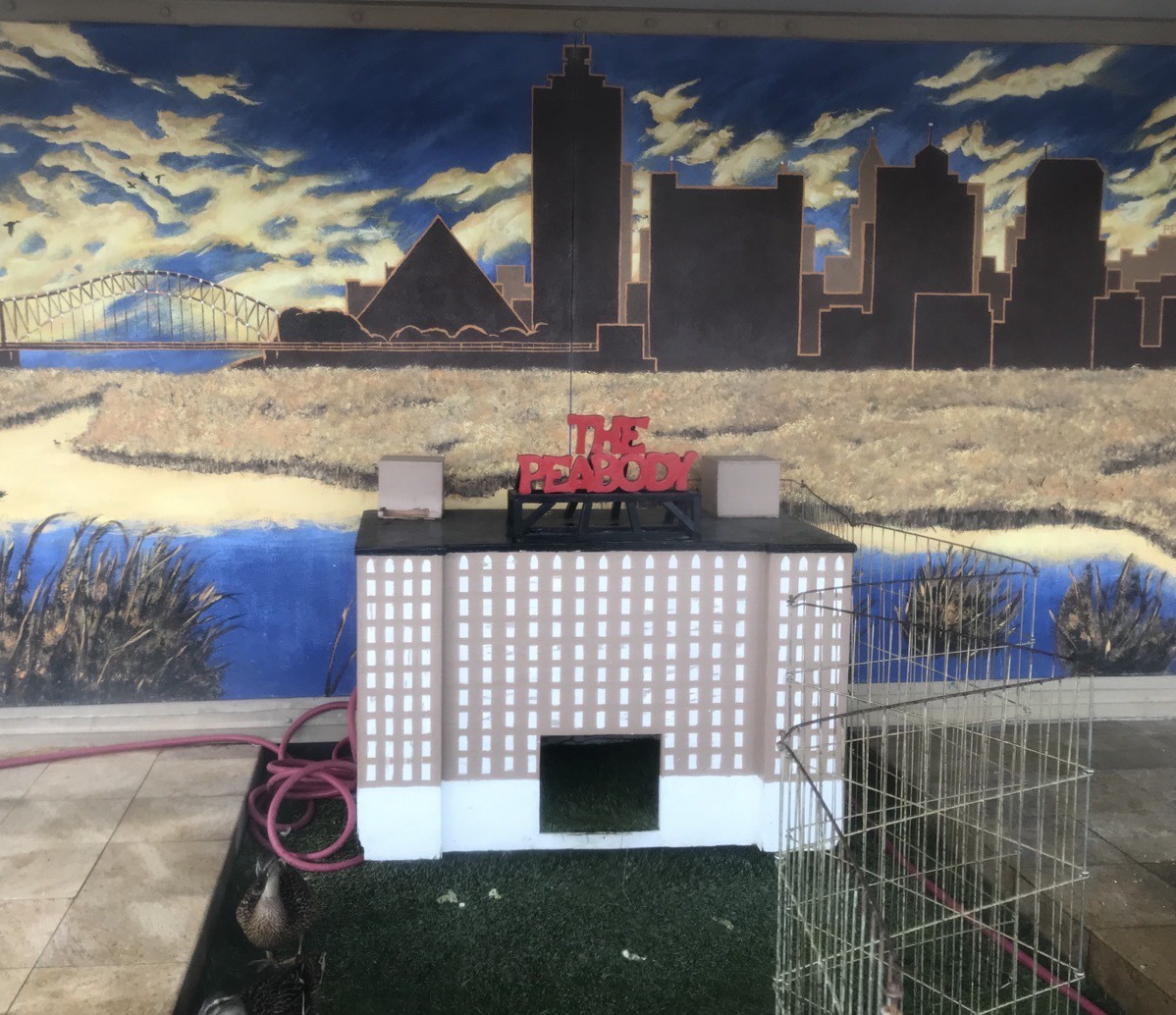
The Duck Palace on the roof where the ducks live.
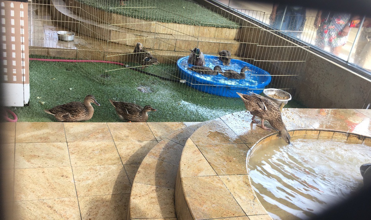
Travel Data- We walked 15,625 steps or 6.8 miles today
- Total miles driven 1,508 miles in the motorhome
- Total miles driven in car 617 miles in the car
- We are staying at the Graceland RV Park $47.30 per night for a total of $591.33
- Gas $546.67, $30.37 per day
-
Memphis, TN - Day 17
Memphis
What a great day we had in Memphis today! We started this morning with a 1.5 mile walk to Walgreens and back, ate lunch in Big Hat then drove down to the Beale Street area where we had a fantastic day!
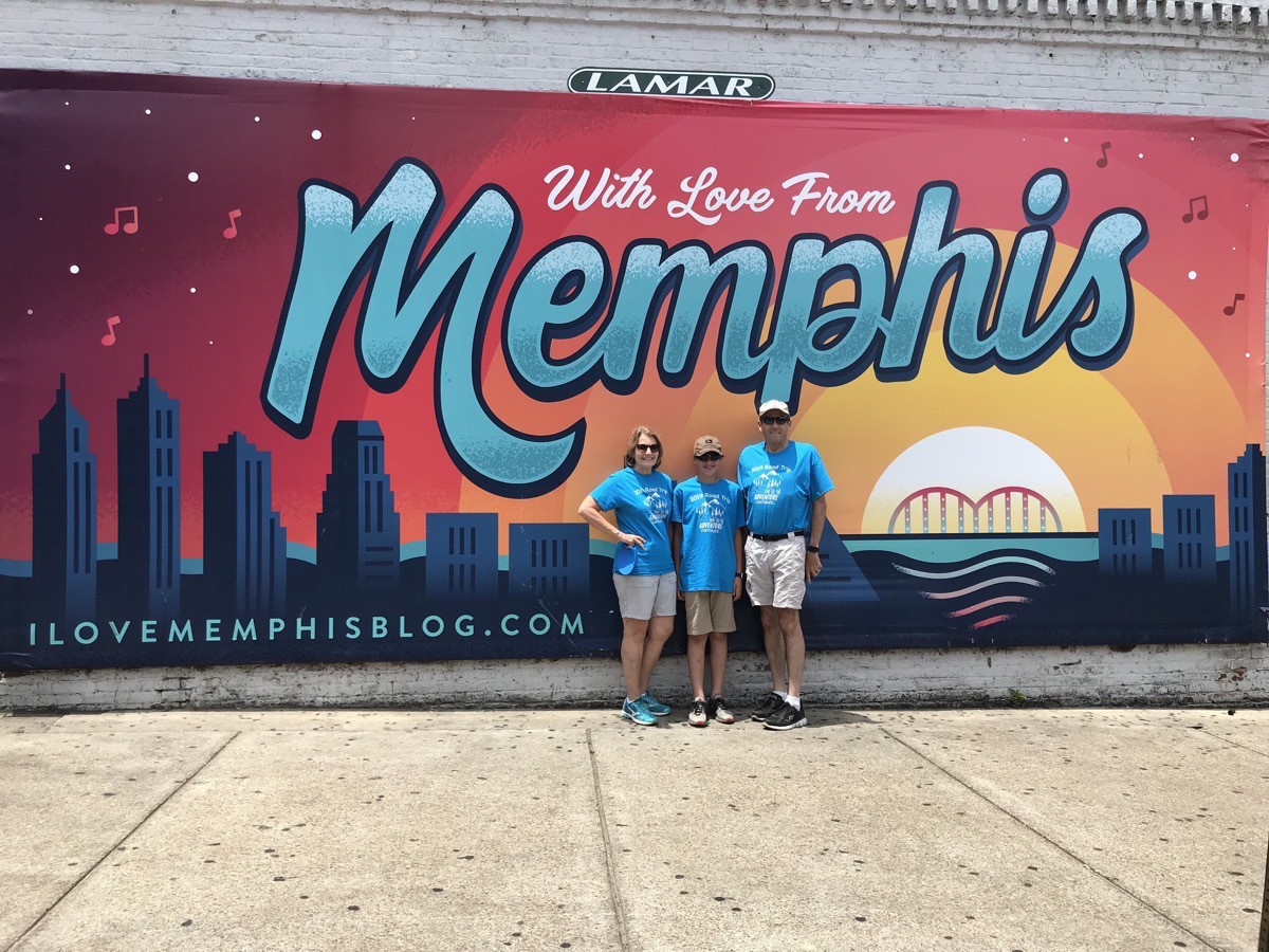
First we did a scavenger hunt. Tom, Ben and I were competing against 113 other random teams by using a phone app called Goose Chase. There were 112 items that we had to find or mimic on video and submit by phone. We had two hours to complete all the items listed. We tied for first place with six other teams, which was fantastic considering how many teams competing. FUN! It would be ever better if our group were even larger to make some of the mimics funnier.
After the scavenger hunt we walked into the lobby of the Peabody Hotel to see the ducks swimming in the lobby fountain.The duck master brings them down the elevator each morning at 11:00. They walk across the red carpet and get into the lobby fountain to play and swim for the day. At 5:00 the duck master marches them back out of the fountain onto the red carpet, across the lobby and onto the elevator where they ride back up to their rooftop homes.. Having said all of that, even though we got there 35 minutes early we couldn’t really see the ducks. There were way too many people!
We walked down Beale street and enjoyed listening to the music flowing out of each bar and restaurant.
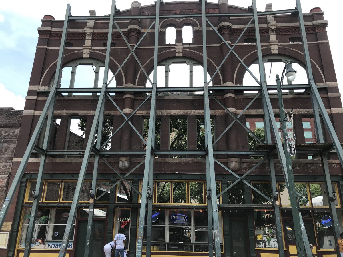
This structure was once a hotel and the interior burned. Now this scaffolding supports the outside wall and the inside is an open patio restaraunt.
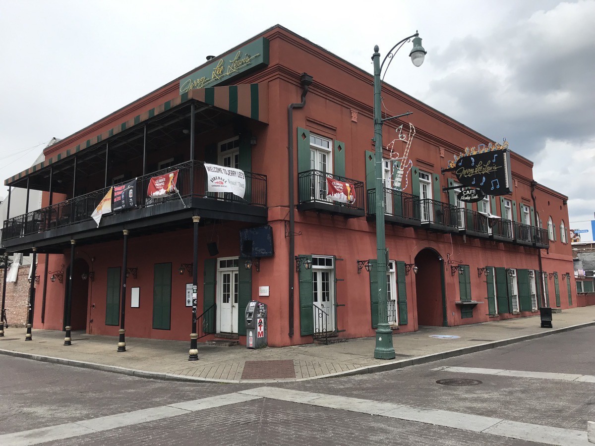
Jerry Lee Lewis Museum
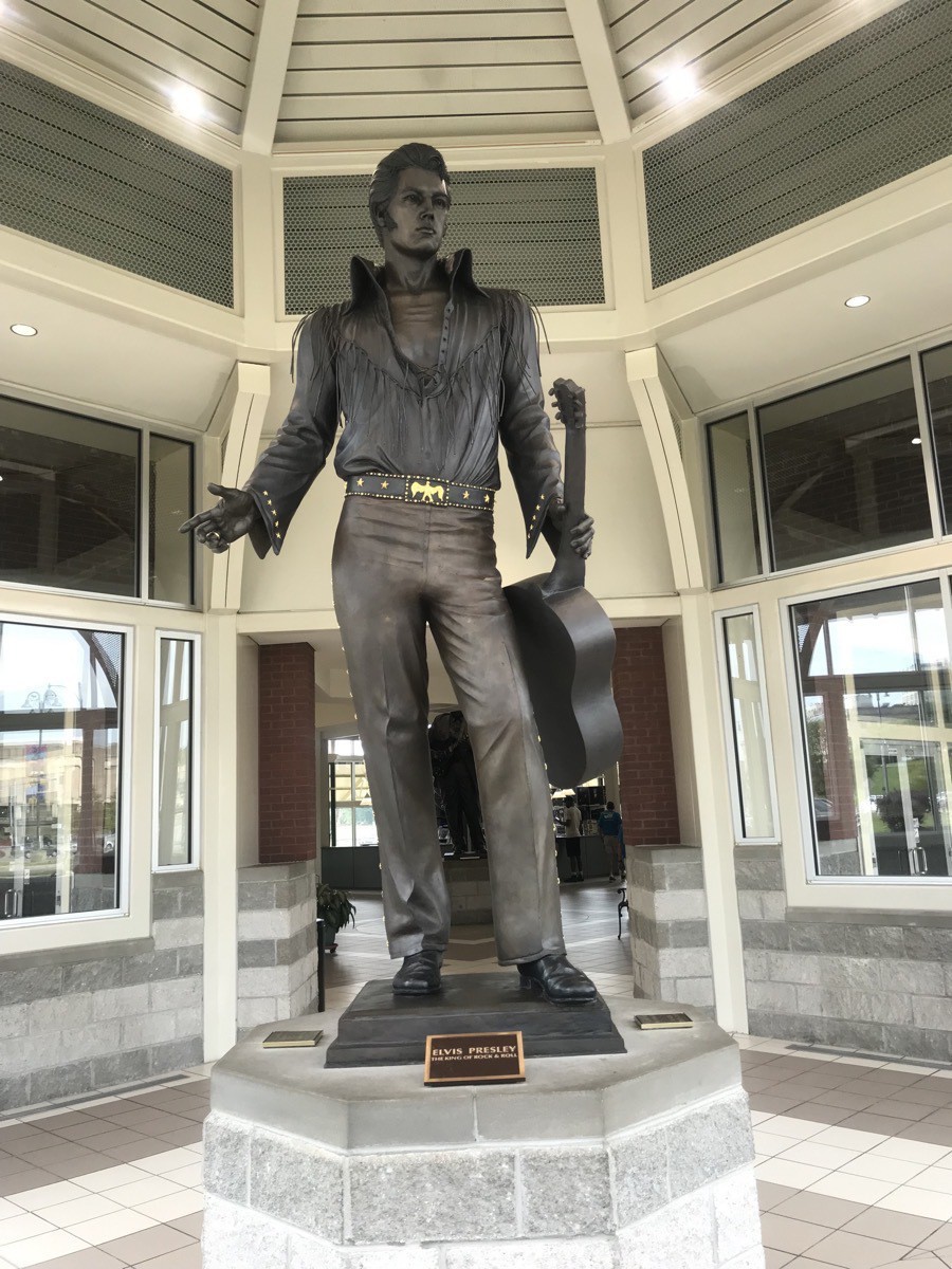
Statue of Elvis in the Visitor’s Center
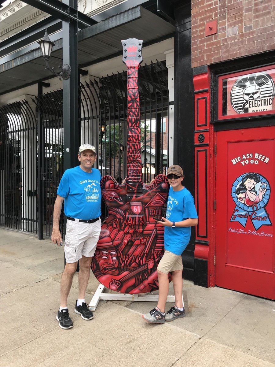
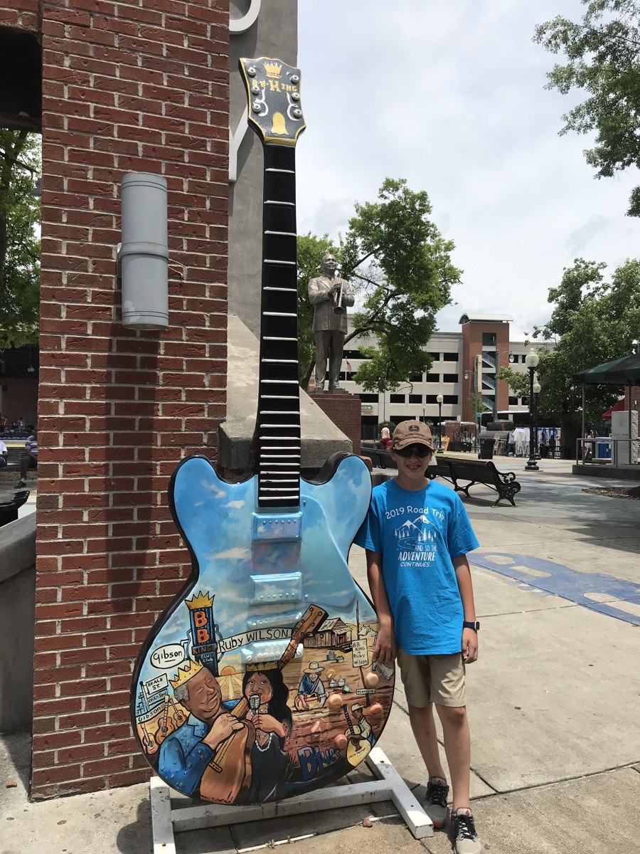
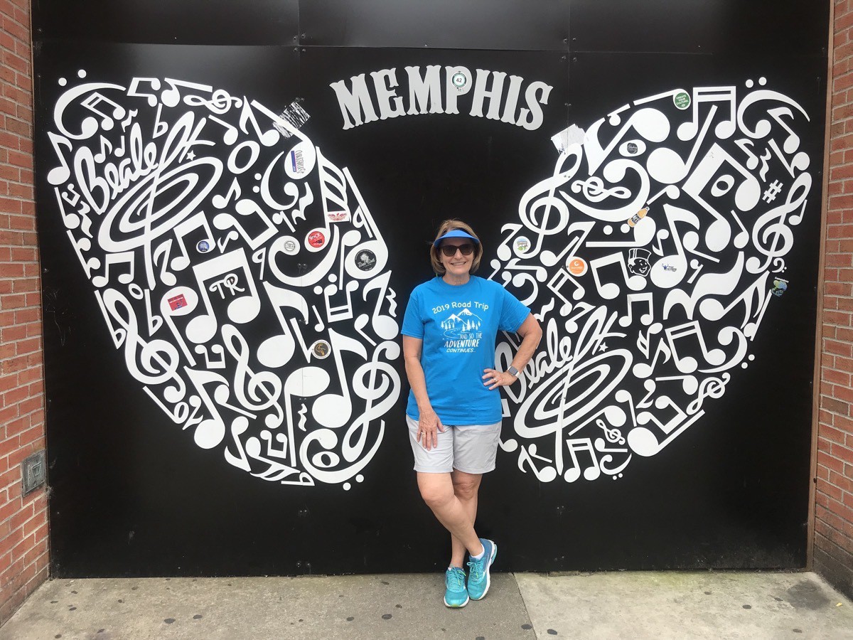
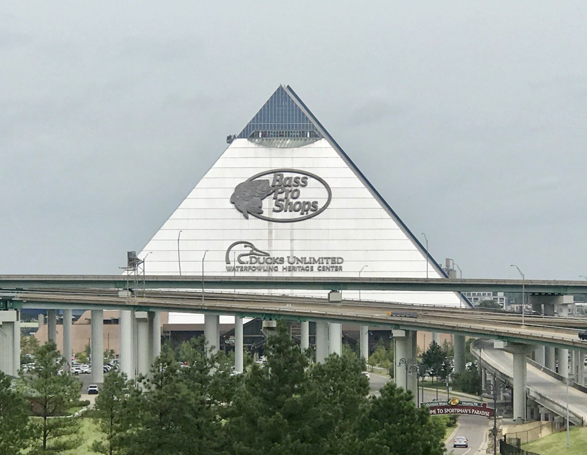
We walked down to the huge Big Bass Pros Shop in the Pyramid which used to host sporting events and concerts. We rode up to the top where there is a huge aquarium, restaurant, and a deck to walk out and get a great view of Memphis. On the first floor there are about ten bowling lanes surrounded by a digital aquarium.
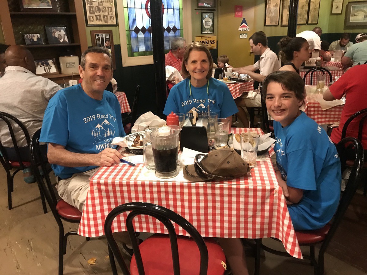
 For dinner we tried the Rendezvous Restaurant
We walked 20,593 steps or 9.1 miles!
When we got back to the Graceland RV Park where we are staying, Ben and Tom went swimming. After they got back from swimming, we played Phase Ten until bedtime.