-
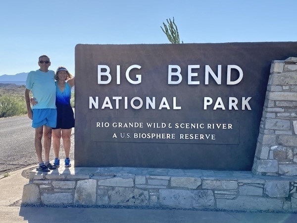
Big Bend National Park - Day 2
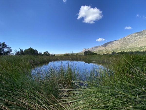
We drove back into the park today from the Big Bend Resort & Adventures campground in Terlingua, but this time our destination was the total opposite end of the park near the Rio Grande Village Visitor Center (50 miles one way). We stopped at the Rio Grande Overlook and then stopped in Boquillas Canyon to hike the Boquillas Canyon Trail. We wore our swimsuits today because we were hoping to enjoy the Hot Springs, but we found out the springs were closed because of COVID. The other excursion we had hoped to do was a row boat ride across the Rio Grande to a Mexican village and had our passports on hand, but once again we were not allowed because of Covid. It was another good day though and by the time we arrived back at the campground, we’d driven 110 miles.
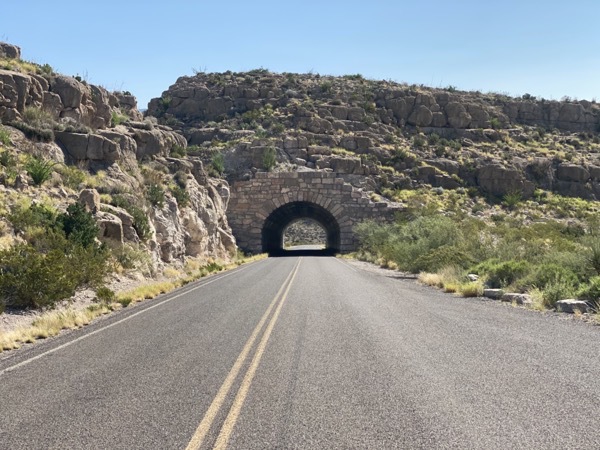
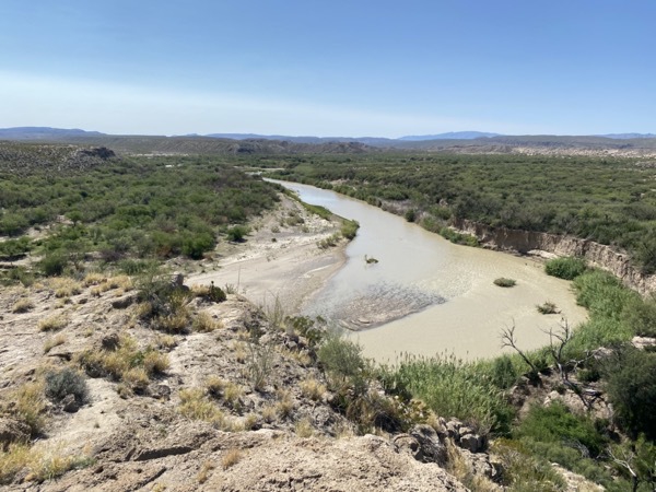
Rio Grande Overlook
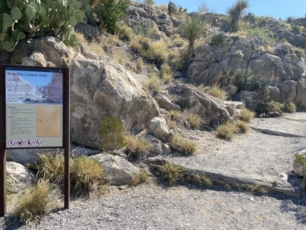
Boquillas Canyon Trail
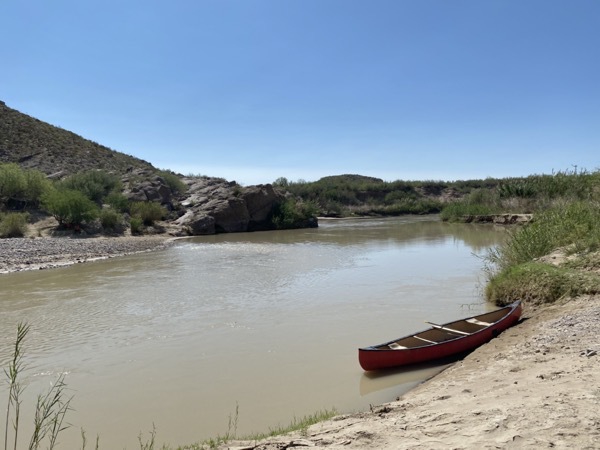
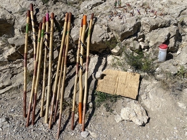
Mexicans row across the river and place handmade items on rocks along the trail with a money jar. We passed at least five of these spots. Apparently, they watch their items from the other side of the river and come back across to collect their money.
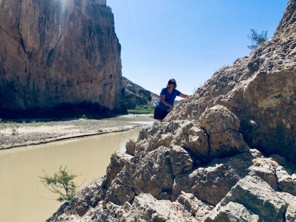
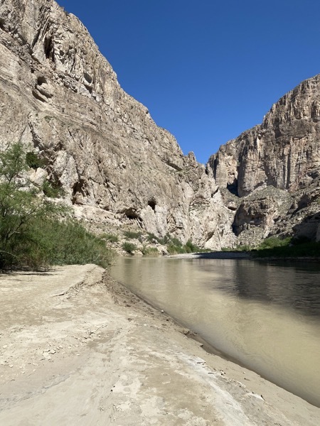
We hiked as far as we could go up the canyon before turning around to return to the car.
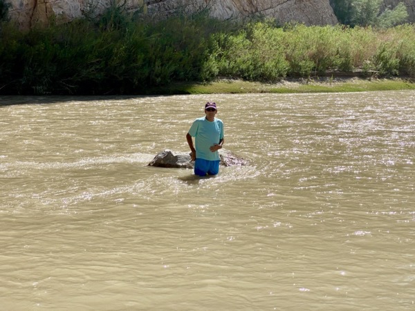
Tom waded out to the middle of the Rio Grande.
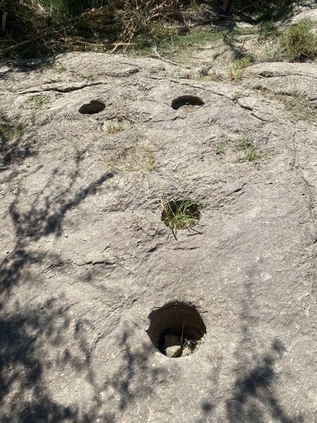
Check out these holes! These were used to ground corn into cornmeal.
-
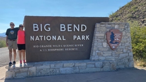
Big Bend National Park - Our 37th National Park (Day 1)
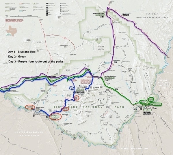
Day 1 - We drove into the Big Bend National Park from the western entrance near the town of Tergingua.
We turned right from the main road and drove down the Ross Maxwell Scenic Drive.We stopped to walk around the Sam Nail Ranch and the Homer Wilson Ranch, both homesteads that were vacated when the land became a National Park in 1944. When we got to the place on the map called Castolon, we expected to actually see a little town, but there were a total of about four buildings, one of which was a TINY store selling some bottled drinks and snacks. There was a fire there in 2019 which destroyed a few other buildings whose remnants remain.
e
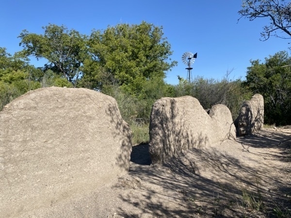
Remnants of the Sam Nail Ranch
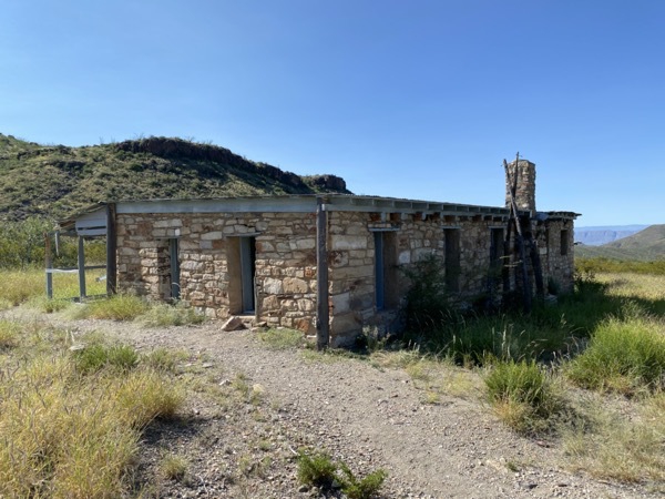
Homer Wilson Ranch
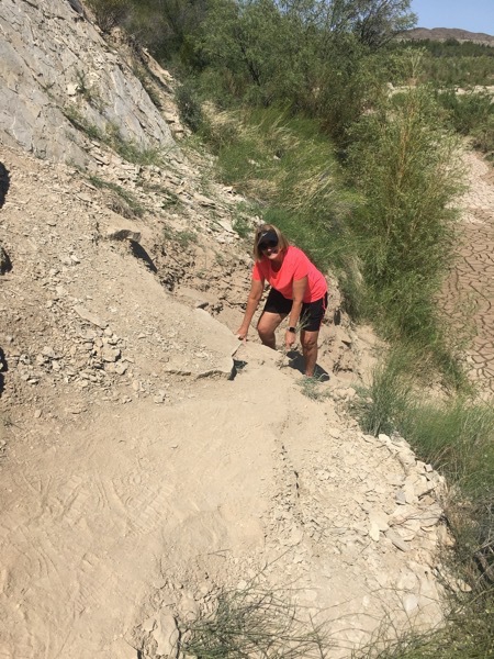
From there we dove to the Santa Elena Canyon, a 45 mile drive from the entrance into the park, where we hiked the Santa Elena Canyon Trail. The trail starts after crossing a partially dried creek, but on the other side, the trail is VERY STEEP and slippery for first few hundred feet or so and goes straight up and then there is another steep downhill before leveling out for a while before going up again this time on a paved switchback. Once we got to the top we walked downhill and flat before reaching the end at the Rio Grander River. The hike was scary to me at the beginning and then again at the end, but totally worth doing it!
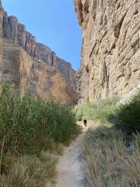
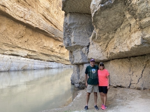
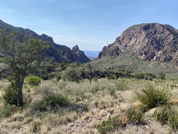
The view between the two mountains is called The Window
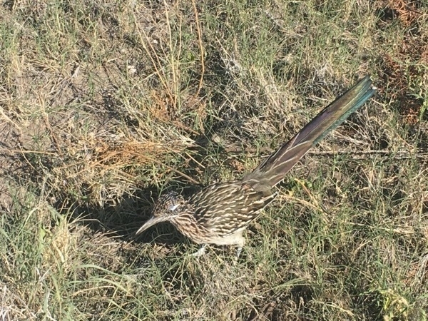
A roadrunner - Beep Beep!
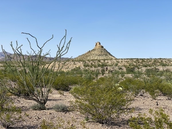
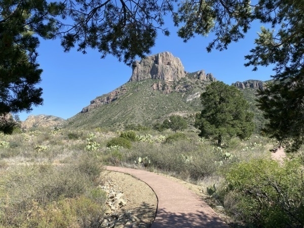
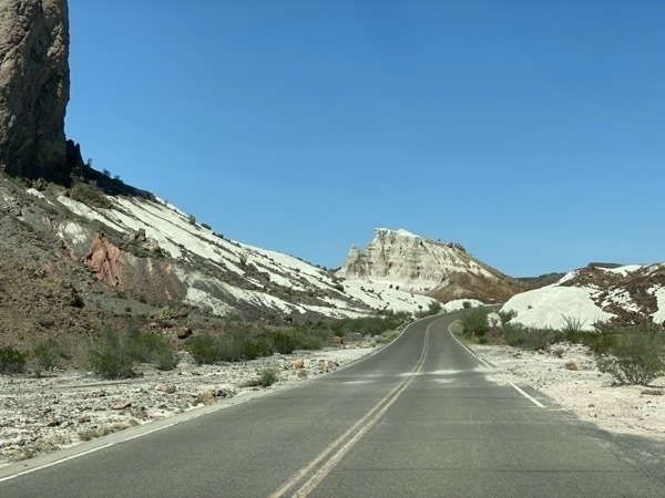
We drove 125 miles today and enjoyed Day 1 in Big Bend
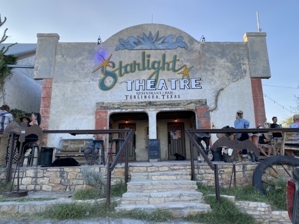
I enjoyed a bowl of Tergingua chili at the Starlight Restaurant. Delicious!
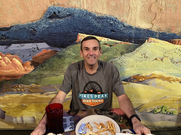
Tom had his usual--hamburger and fries, but said it was good also.
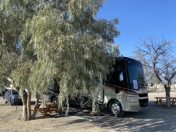
We stayed at the Big Bend Resort & Adventures Campground in Tergingua. Although the park was level, the name resort is definitely a misnomer. — However, there were no parks any nicer that we saw. Just dirt, a table and hookups.
-
El Paso to Terlingua (outside of Big Bend National Park)
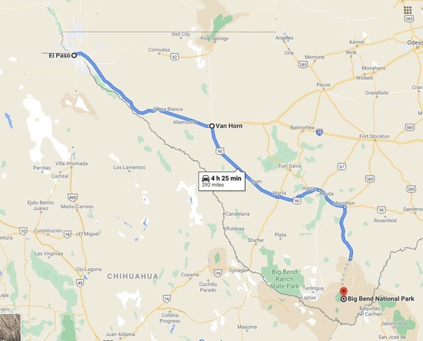
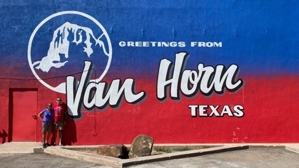
After leaving El Paso, we drove to Van Horn, TX, a sleepy little town in the middle of nowhere with a population of 2,000, where we stopped for the night at the Van Horn RV Park. Once we arrived, we discovered our coach battery was dead. Luckily, there was an Auto Zone store in town and we were able to buy a new one. After installing the battery, we discovered the positive connector cable was corroded, so we replaced that also. This was the last semblance of civilization for 100 miles on our drive toward Bib Bend National Park.
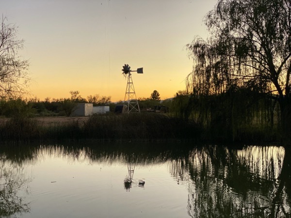
View from our campground at sunset
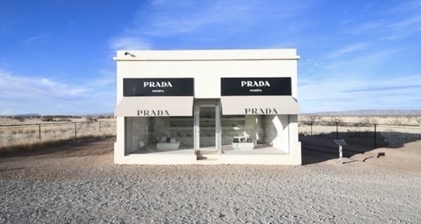
From Van Horn we drove to Terlingua, outside the entrance to Big Bend National Park. The drive today was once again very rural and boring, but to our surprise there is a art display 26 miles north of Marfa called Prada Marfa. This display is in the form of a building, specifically a Prada storefront, and was constructed in 2005. On the front of the structure there are two large windows displaying actual Prada shoes and handbags from 2005.
As we were driving further down the road we saw the road art below. There was no sign or explanation beside it, so I have no idea of it’s significance besides a fun way to interrupt the boredom of the drive.
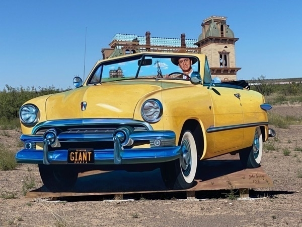
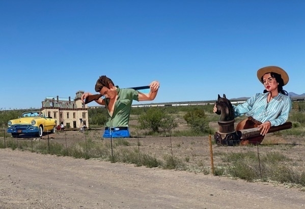
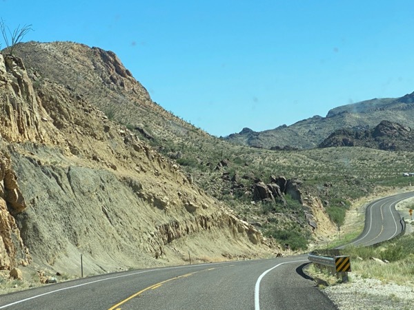
We arrived at the town of Terlingua around 5:00PM and are staying at the Big Bend RV Resort & Adventure Campground.
-
El Paso, TX
We are staying at the Mission RV Park. When we got ready to leave for the day to tour El Paso, we noticed a huge nail close to the sidewall of the front passenger tire in the CRV, so we head to the tire store to get it fixed. As our luck (or lack thereof) would have it, the tire could not be fixed and we had to buy another one. We chose to buy two new front tires, so add those to the two back tires that we bought last week, we’ve spent $888 ion tires on this trip. We had an 1.5 hour to kill while we waited to get the tires changed so we decided to walk 2 miles to Sam’s Club and walk around. After walking back to the tire dealership to pick up our car, we drove first to the Casa de Azuca.
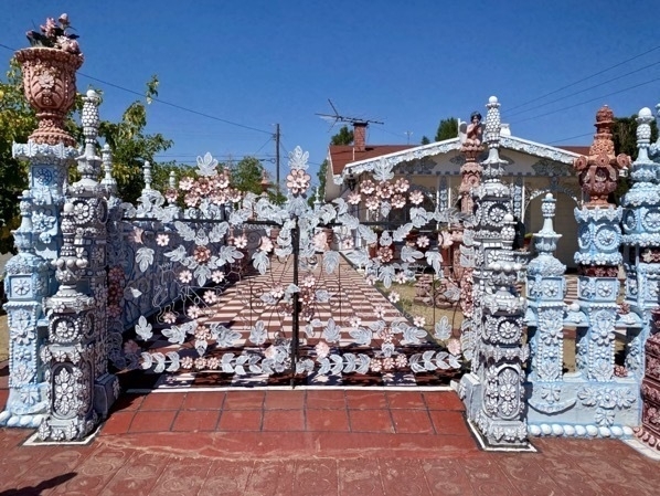
For 25 years Rufino Loya Rivas built "La Casa de Asucar" around his home as a tribute to the city of El Paso. The House of Sugar’s ornate statues and features were inspired by Catholic churches Rufino recalled from his youth in Mexico. This beautiful tribute was sculpted from cement by Rivas and is meticulously maintained. It took him 25 years and hundreds of hours to create his masterpiece. The home behind all these sculptures is a very simple home in a regular subdivision. Very unique and worth the drive just to see!
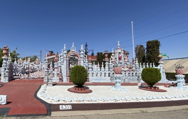
Our next stop was a visit at the US Border Patrol Museum and finally, a drive through parts of Franklin Mountains State Park.
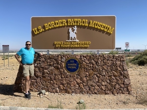
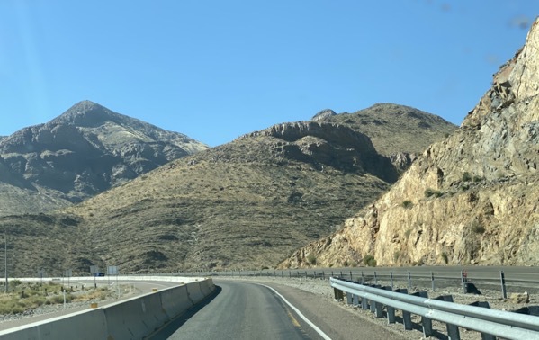
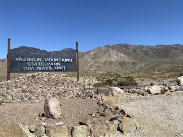
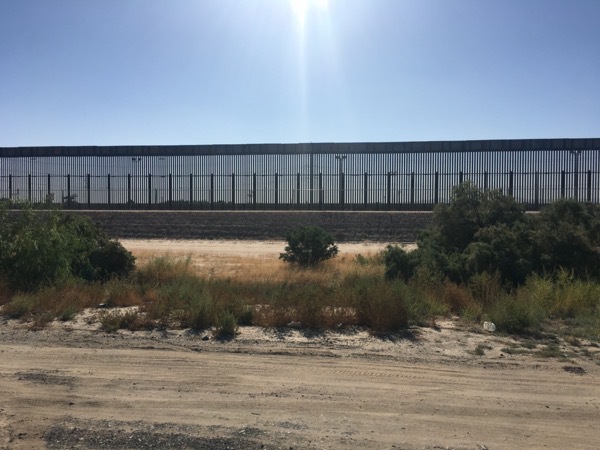
The US Border fence
-
White Sands National Park - Our 36th National Park
We stayed in Alamagordo, New Mexico at the Edgington RV Park. From there we drove 24 miles to White Sands National Park.
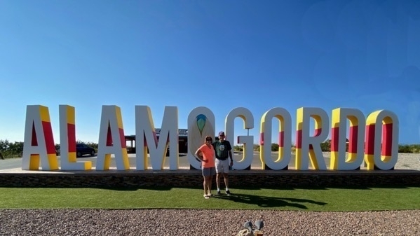
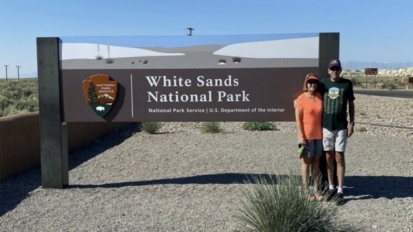
This is our 36th National Park! White Sands became the 62nd National Park in December 19, 2020 after being a National Monument since 1933. The “white sand” is actually composed of gypsum crystals. The gypsum dunefield is the largest of its kind on Earth. The depth of gypsum sand across the entire field is about 30 feet, while the tallest dunes are about 60 feet high.
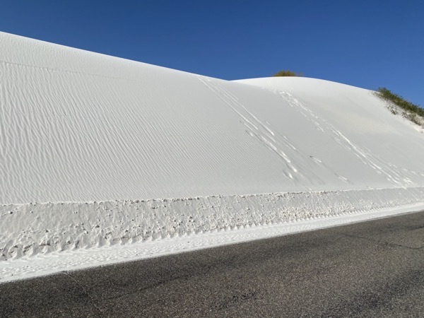
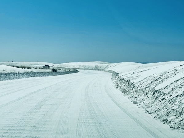
About ten miles into the park and thirty miles from Alamogordo, we discovered we had a flat tire. We pulled over and took off the flat and put on the little mini spare tire from the trunk. We drove on that until we got back to Alamogordo where we bought two new tires and had them mounted.
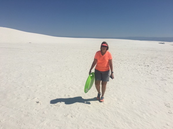
We bought a set of snow discs from Amazon and brought them with us into the park. Ours didn’t work, but some girls let us take a couple rides on theirs which were a softer plastic than ours.
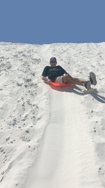
After getting the new tires and shopping at Walmart, we drove to McGinn’s Pistachio Tree Ranch.
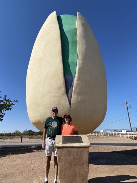
Here we are standing beside the World’s Largest Pistachio
-
Albuquerque, New Mexico
While in Albuquerque we stayed at the Coronado RV Park which was very nice. Our space was conveniently located behind the clubhouse where we went to play online bridge with our Lake Charles Bridge Club almost as soon as we arrived. After our less than memorable bridge game, we had a 3:30 reservation to visit the Hot Air Balloon Museum. The museum was interesting, but would have been more interesting if all the hands on exhibits weren’t closed because of Covid-19.
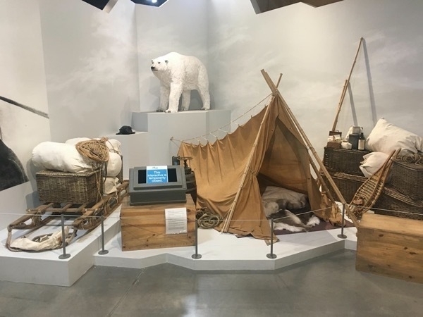
The most fascinating exhibit for me was the one documenting the flight of Salomon Andree, a Swedish engineer, who set out on July 11, 1897 with two fellow countrymen on an exhibition to the North Pole in a hydrogen ballon. After Andree and his two companions lifted off from Svalbard, a group of islands in the Arctic Ocean about 400 miles north of Norway, the balloon lost hydrogen quickly and crashed on the pack ice after only two days. The men were unhurt, but not prepared with proper equipment or clothing and lacked the fortitude to make the grueling trek back south and died. Their ship, journals, undeveloped film, supplies and skeletons were found in 1930, 33 years later. They had survived almost 3 months.
Back at the RV Park we visited with a couple from Houma, LA for several hours.
Thursday, September 24, 2020
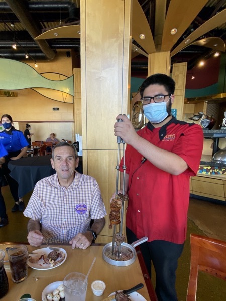
Tom’s favorite place to eat—Tuscano’s Brazilian Steakhouse
The National Museum of Nuclear Entergy Museum
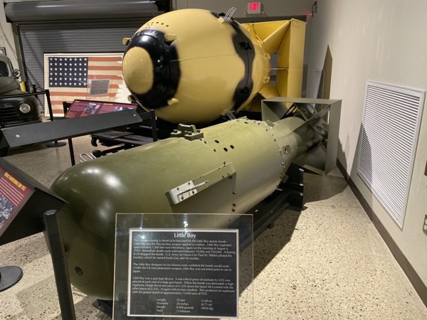
Replicas of the Atomic Bombs Little Boy that was dropped on Hiroshima and Fat Boy that was dropped on Nagasaki
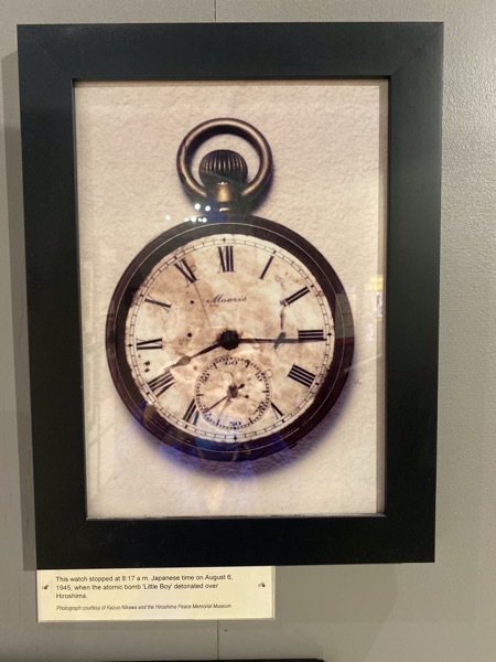
This watch was stopped at 8:17 am on August 6, 1945 when the atomic bomb "Little Boy" detonated over Hiroshima.
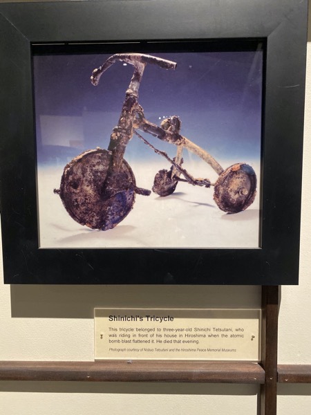
This tricycle belonged to three=year-old Shinichi Tetsutani, who was riding it in front of his house when the atomic bomb flattened it. He died that evening.
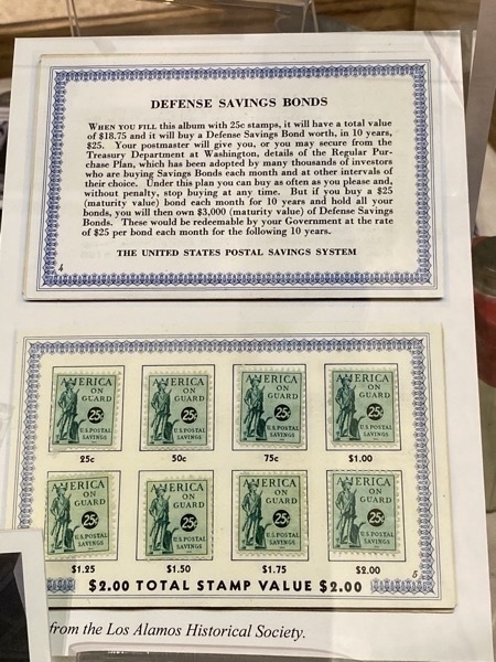
25 cent stamps that were purchased one stamp at a time and when $18.75 was accumulated, the card was traded for a war bond.

Cute little postcard in the gift shop
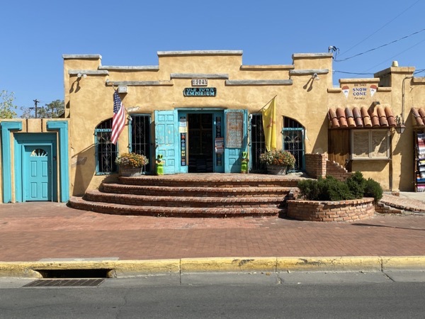
Old Town, Albuquerque
We walked around the square at Old Town in Albuquerque. The shops all feature the typical Indian
-
Santa Fe, New Mexico
Today we drove from Eagles Nest to Sante Fe and walked by the NM state Capitol Building. We are trying to visit each state's Capital building when traveling, but this one and the Texas Capitol buildings were both closed because of Covid.
New Mexico has the only round state capitol in the United States, and is known informally as "the Roundhouse".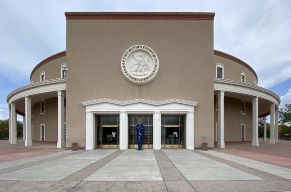
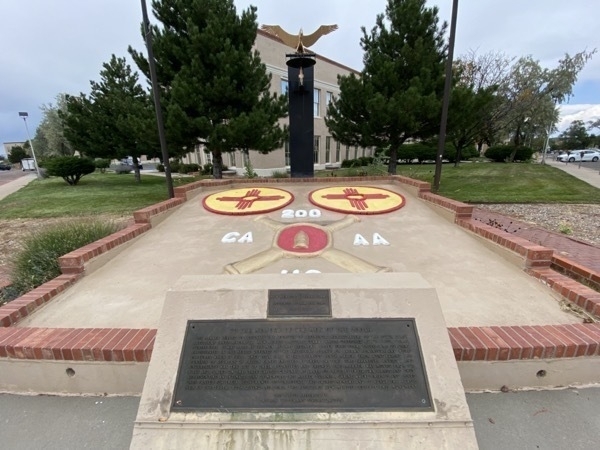
Memorial to the New Mexico National Guard's involvement in the Bataan Death March
Following the fall of the Bataan Peninsula, Philippines, on April 9, 1942 the United States surrendered to the Japanese and instantly, more than 75,000 U.S. and Filipino soldiers were forced to become Prisoners of War. The POWs were soon forced to make the 65 mile trek – with no food or water – to confinement camps throughout the Philippines. Thirsty and exhausted, those who attempted to steal a sip of water from roadside streams or collapsed along the way – were shot or bayoneted on the spot by their Japanese captors. In total, 10,000 men – 1,000 American and 9,000 Filipino – died during the Bataan Death March.
From there we walked around the Sante Fe Plaza and did some shopping, but the art galleries and museums were closed because of Covid.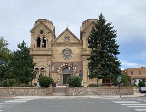
Cathedral Basilica of St Francis of Assisi
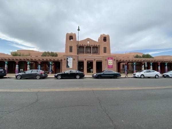
Museum of Contemporary Arts (closed because of Covid)
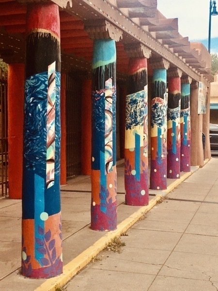
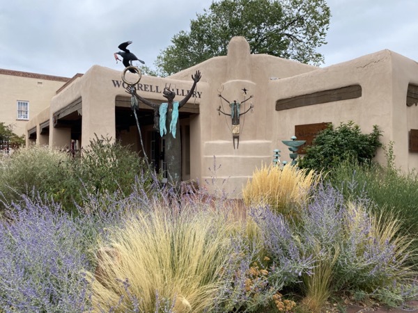
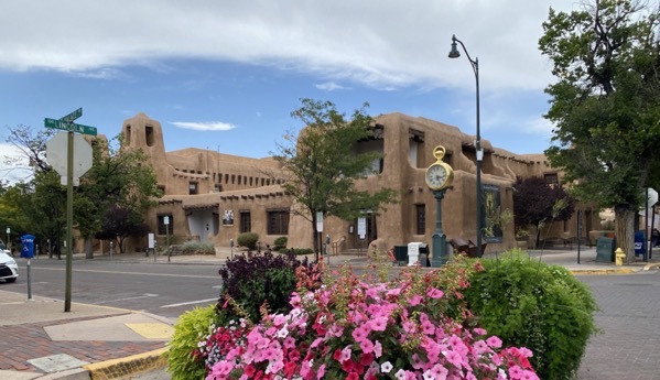
-
Black Rock Hot Springs, Rio Grande Bridge & Taos, NM
Our view from the front of our motorhome this morning in the Golden Eagle RV Park.
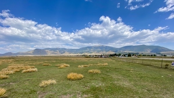
Today we drove an 85 miles loop from Eagles Nest through Red River over to the Black Rocks Hot Springs, Rio Grande Bridge, Taos and back to Eagles Nest.
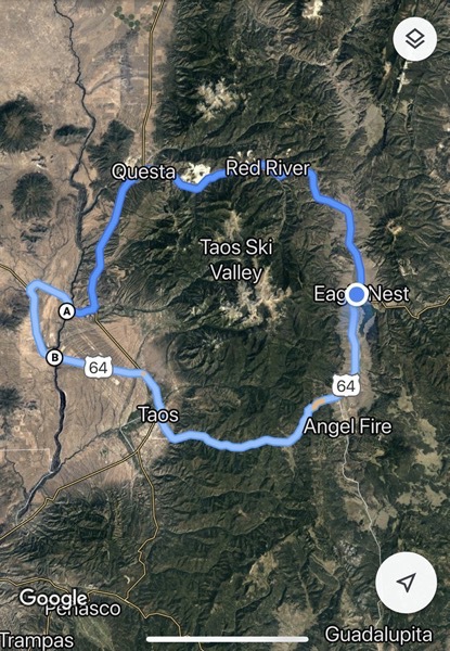
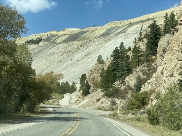
Black Rock Hot Springs
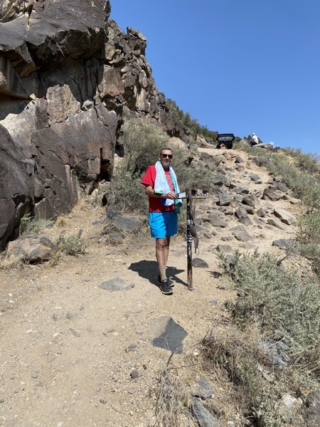
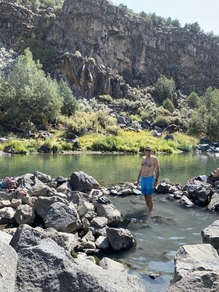
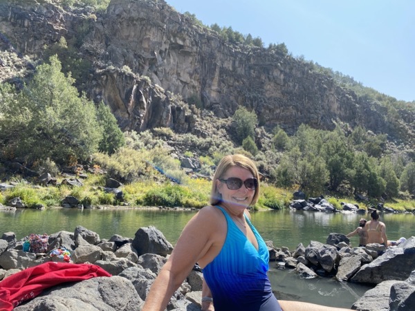
Our first stop was at the Black Rock Hot Springs. To get there we drove on a curvy dirt road for several miles and then hiked about .25 miles down to the river. The water temperature in the hot springs was probably around 95 degrees and the water in the river beside the hot springs was very cold!
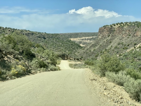
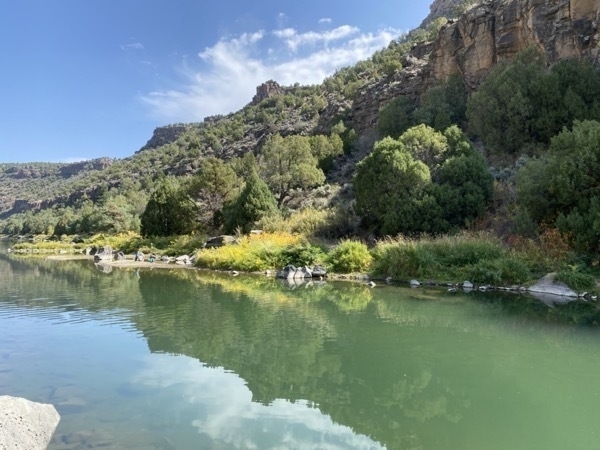
There was a sign by this innocent looking river saying, " This may not be the best place to put in your raft or Kayak. The river has Class IV rapids and if you don’t know what those are, you are in the wrong place!"
Rio Grande Bridge
The Rio Grande Bridge was only a 12 mile drive from the hot springs and the view was magnificent! It’s amazing to see the river flow through those tall canyon walls!
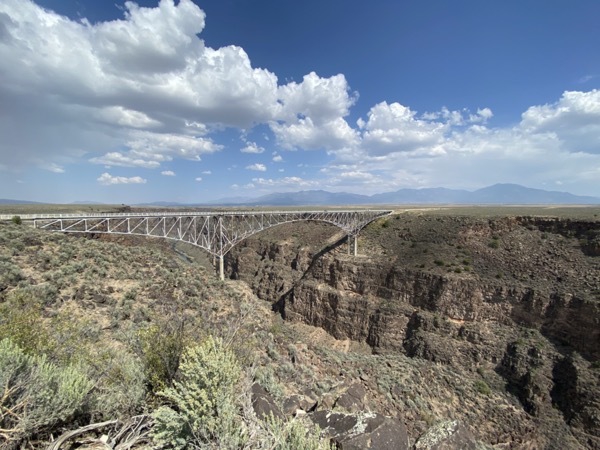
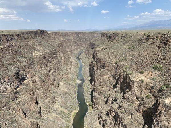
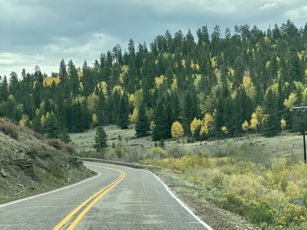
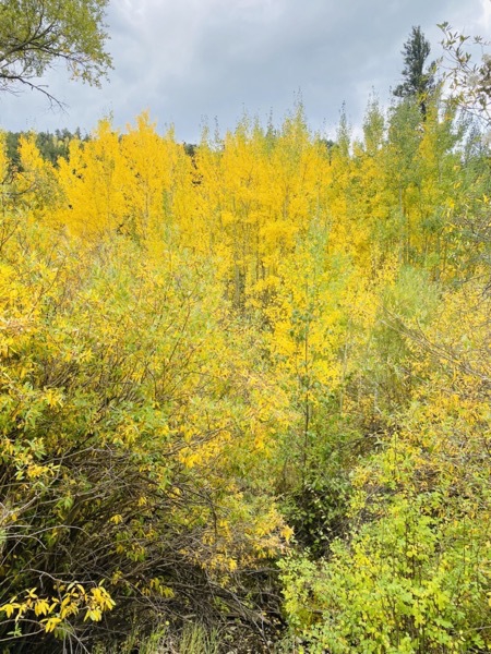
The trees are beginning to change colors on this first day of fall. Most of the trees are evergreen, but it’s pretty to see the yellow leaves mixed with the green.
Back “home” in our campground, a couple other fabulous carvings to enjoy!
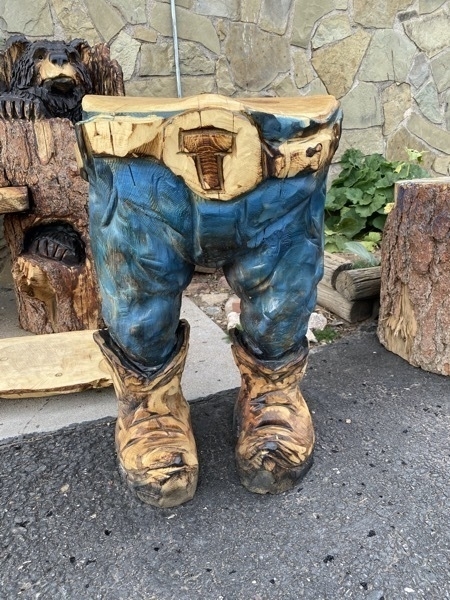
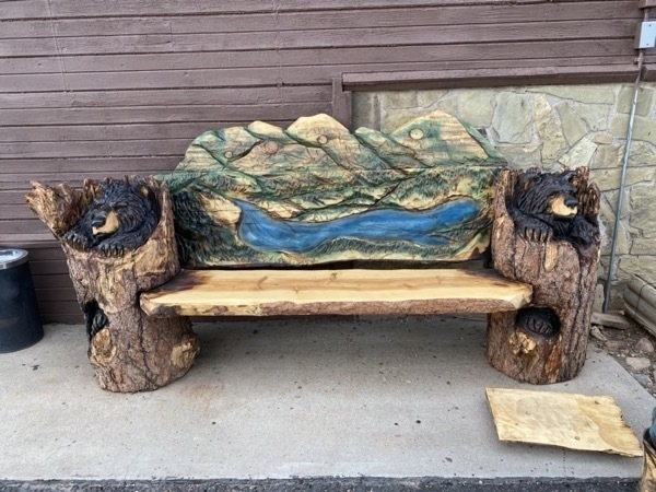
-
Angel Fire and Eagles Nest, New Mexico
We spent the night in the Walmart Parking lot in Trinidad, New Mexico after seeing HIGH WIND warnings on I-25. We definitely did not want to do the Raton pass in those conditions. There were at least twenty other campers in the parking lot with us!
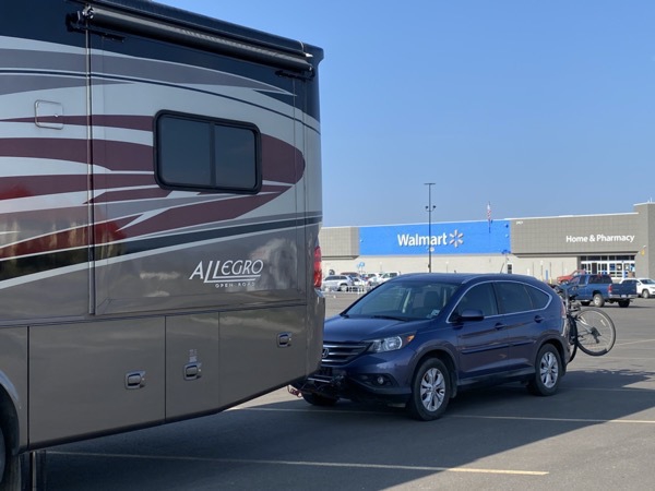
On Sunday we continued our drive to Eagle’s Nest, New Mexico where we stayed at the Golden Eagle RV Park.
After plugging in Big Hat, we drove up to the Angel Fire Ski Resort to look around. We were hoping to take a zipline tour, but they were not open. Not much happening up there since it is between seasons.
Our next stop was the Vietnam Veterans Memorial Museum and Chapel near Angel Fire which was built by Doc Westphall in memory of his son David who was killed in an ambush near Con Thien, South Vietnam on March 22, 1968, along with all Vietnam Veterans.
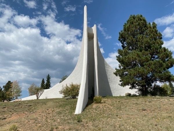
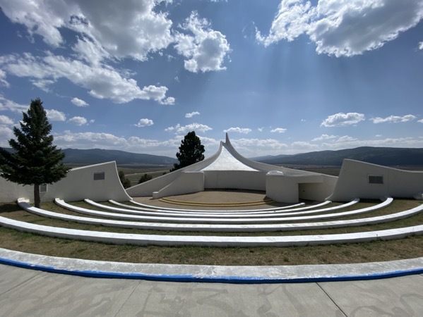
Interestingly enough, we met two couples in the RV park near us who are from Louisiana. One of those couples is like us in that the wife is a native West Virginian and the husband is a native Louisianan!
-
Bicycling down Pike's Peak
Today was one of those “Bucket List” items that I have really wanted to do. We booked a bicycle tour with Pike’s Peak Bicycle Tours to bicycle from the summit of Pikes Peak down the mountain. We met our tour leaders and the six other members of our tour group at the bicycle shop at 7:15 this mornin where we were given our helmets and the proper size Canondale bicycles for the ride. The tour guides loaded the bicycles on top of their van and drove us to the top of Pike’s Peak.
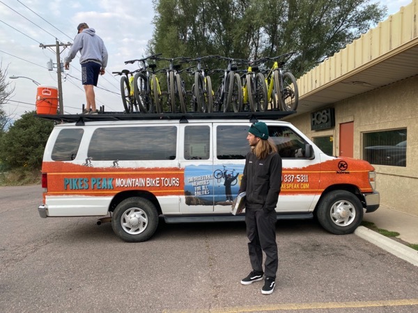 The Pikes Peak Highway is 19 miles from the Tollgate entrance to the summit and has a 2 lane road ascending more than 6,000 feet in elevation. The admission is $15 per person or $50 per car —unless you have the Senior Pass like us, then it’s free. Because of the construction for a new visitor’s center at the summit, cars are not allowed to drive all the way up. There is a temporary lot about 2 miles down and visitor’s are shuttled to the top from there . The bicycle company had a special permit to drive all the way up, and we arrived at 9:00am. We spent a few moments walking through the gift shop, using the restroom and taking pictures by the sign, and then got back in the van and drove less than a mile to a safe spot with no construction equipment, to begin our ride.
The temperature was 37 degrees and dry—cold, but a perfect day to start our ride. I was wearing many layers including a short sleeve shirt, long sleeve shirt, lined vest, lightweight jacket, a windproof jacket and gloves when we started the ride, but by the time we finished, it was about 67 and I had removed the windproof coat and gloves.
Our total downhill ride was just over 20 miles as we descended from just below the summit to beyond the gate and past the North Pole Village in Manitou Springs. What a day!
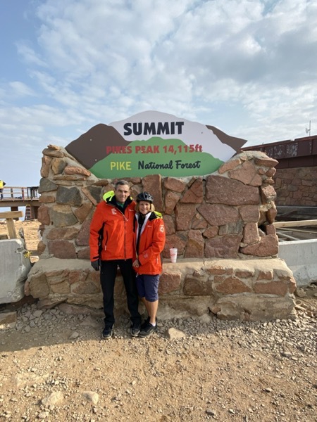
9:00 AM - 37 degrees
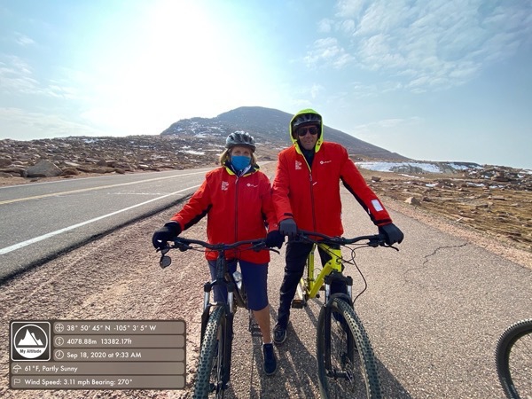
9:30AM at 13,387 feet
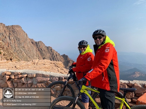
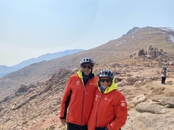
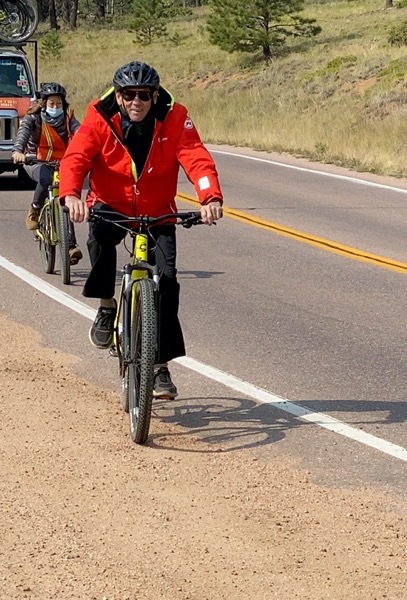
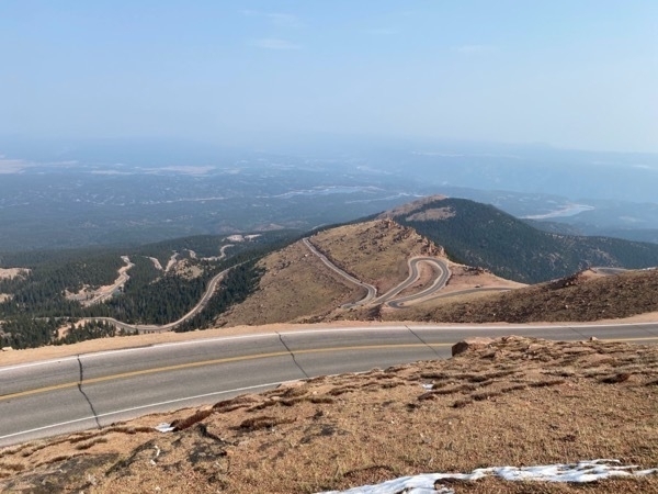
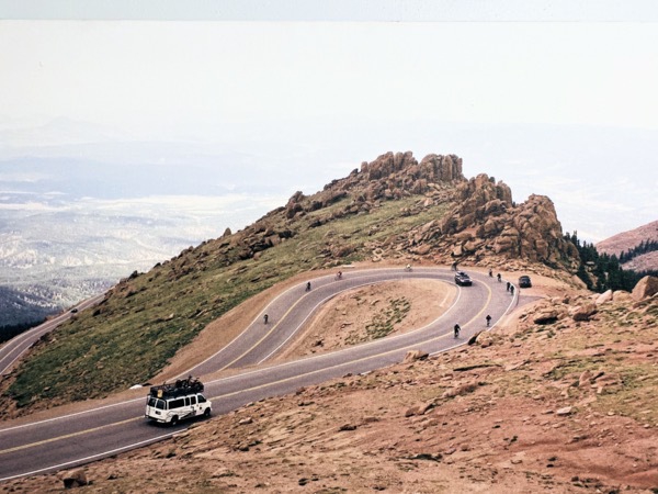
Round and round and down and down we went!
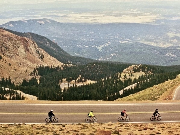
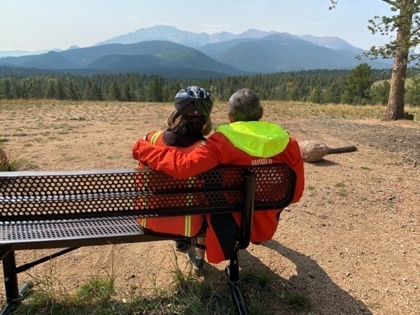
Enjoying the view of where we started our bicycle ride.
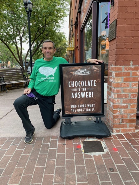
After the ride we were treated to lunch at a Greek Restaurant Afterwards, we walked the streets of Old Colorado City and enjoyed looking at all the unique merchandise. Tom’s site was the Rocky Mountain Chocolate Factory Sign!
-
Estes Park, Colorado
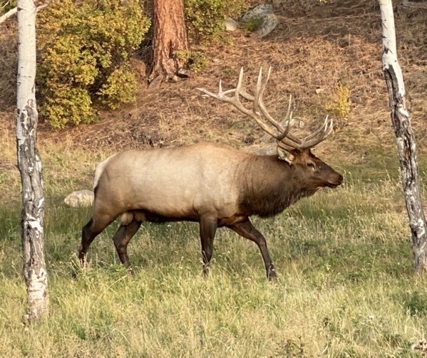
After spending three days in Lakewood, CO with The O’Briens, we headed north to Estes Park, CO. As soon as I parked Big Hat in lot 65 of Manor RV Park, I looked out the window and saw this beautiful Elk walking right behind the motorhome!
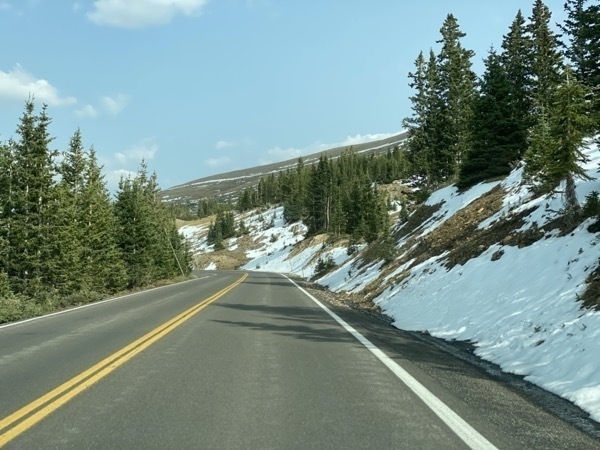
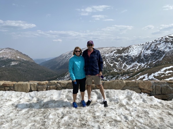
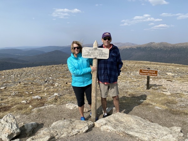
Because of COVID-19 we had to make reservations to enter Rocky Mountain National Park. Our time slot to enter was at 2:00PM. We drove to the top of Trail Ridge Road and saw a little snow on the side of the road as the road increased in elevation After parking at the Visitor’s Center at the top of Trail Ridge Road, we hiked all the way to the very top to reach an elevation of 12005 feet. This is at least our fifth time to hike it, but I guess it’s our RMNP “tradition.” The temperature was 73 degrees when we entered the park and fell to 53 degrees by the time we got to the Visitor’s Center.
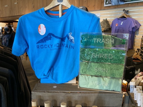
The visitor’s center had this cool shirt made from 6 1/2 water bottles.
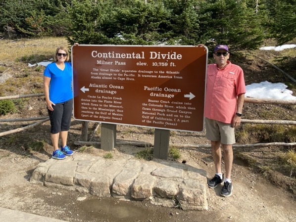
From there we drove down to the Continental Divide for our final photo opportunity before heading back to the campground. The weather was perfect and we enjoyed the vistas.
-
Roswell, NM
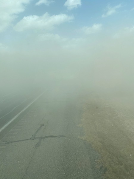
Today we drove 75 miles from the Carlsbad RV Park to the Red Barn RV Park in Roswell, NM. About 30 miles south of Roswell we ran into a blinding sand storm. Tom carefully pulled the motorhome over on the side of the road and we sat 40 minutes in amazement waiting for the storm to pass. We watched eight emergency vehicles pass while we were waiting. Once the sandstorm cleared we saw all the emergency vehicles blocking the highway about 100 yards ahead of us.
Roswell, NM
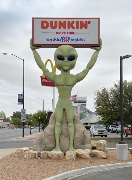
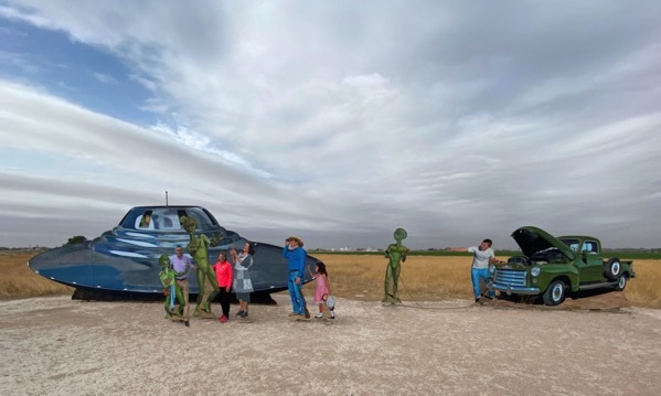
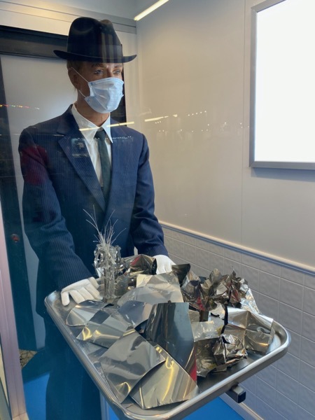
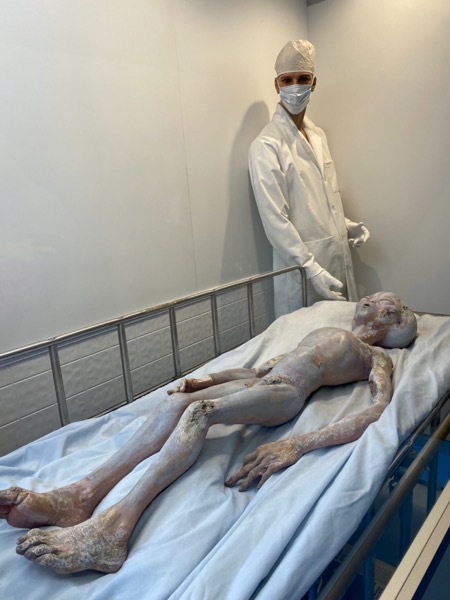
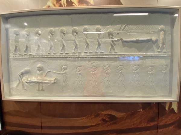
As soon as we parked Big Hat at the Red Barn RV Park, we drove into town to visit the International UFO Museum which was interesting.
While we walking down the street, we saw a pink Women for Trump bus coming and we stood around to see what that was about. Someone in a call yelled, “Mary Hatfield!!” It was our friends Chuck and Jo from Lake Charles! We talked briefly and then made plans to meet for dinner at the Cattle Baron which was right by the Fairfield Inn where they were staying. Small world! Nice evening—great dinner!
-
Carlsbad Caverns National Park
We set the alarm for 5:00AM this morning so we could drive the 30 minute drive back into Carlsbad Caverns National Park, our 34th National Park, to stand in line to get into the caverns. We arrived at 6:40 am and a there were already 100 or so in line. Tom and I took turns standing in line and sitting in the car before the doors opened at 8:00 and they started handing out the entrance time slots. We were given a 9:10 time slot and so the adventure began!
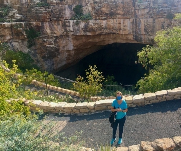
The entrance to the cave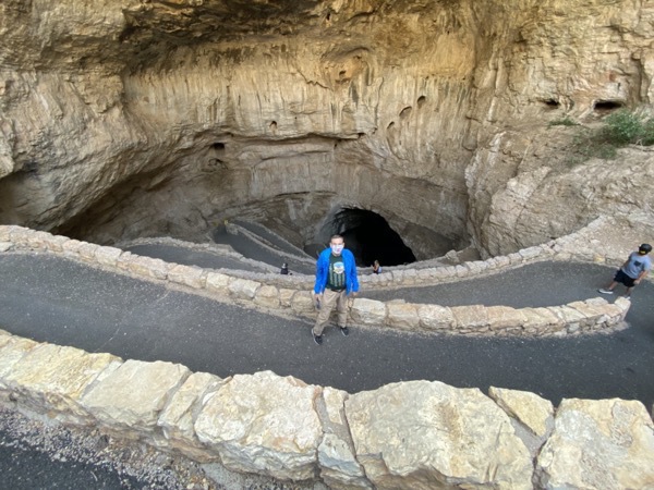
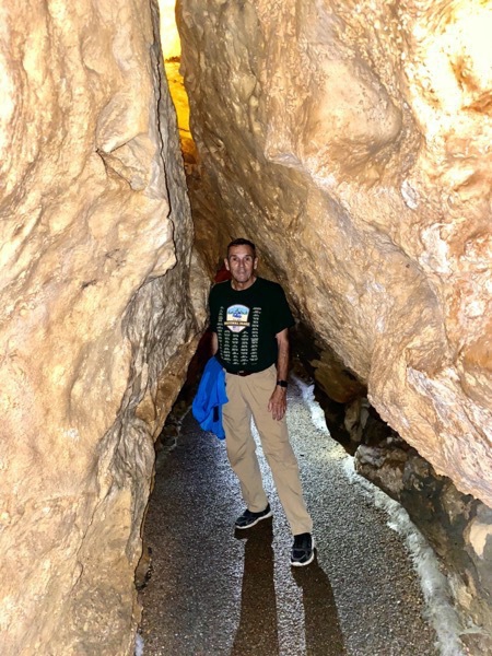
We walked 1.5 miles down, down, down into the cave. Switch back after switch back after switch back...
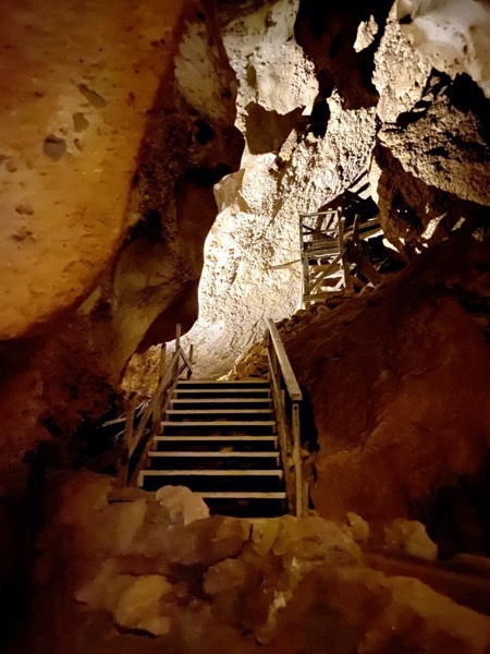
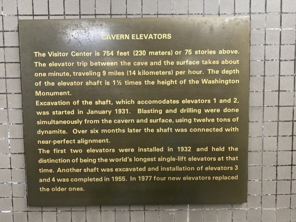
At first, the public entrance to the cave was by a guano bucket, but in 1925 The Carlsbad Chamber of Commerce paid to have the first staircase built from the natural entrance into the cave, an extremely strenuous trek to come back out of the cave! The first elevator service was built in 1930.
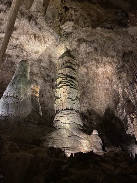
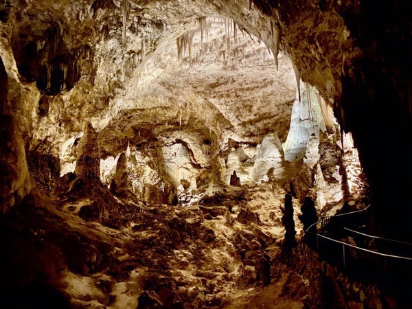
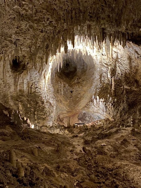
The Big Room is the largest limestone chamber in the Western Hemisphere. Floor space in the Big Room is estimated at more than 600,000 square feet, an area comparable to 14 football fields. (Obviously photos don’t do it justice because the camera can’t get enough light to take the picture)
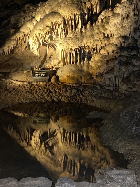
Mirror Lake
-
Guadaloupe Mountains National Park
Still under mandatory evaluation from Lake Charles, we are now trying to see the National Parks we had planned to see doing the summer when our trip was cut short.
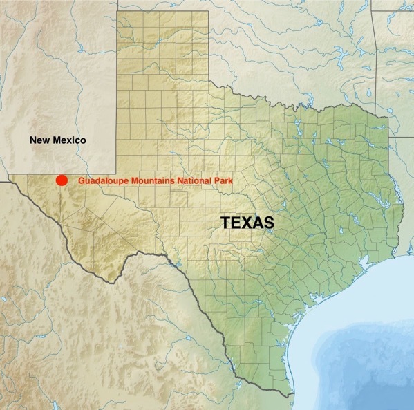
This morning we left Carlsbad, NM at 7:45 AM to drive to Carlsbad Caverns National Park, a 30 minute drive. We arrived around 8:15 and were astonished to see the LONG line of people waiting to get into the Caverns. Only 35 people are allowed into the caverns every 15 minutes because of COVID. There must have been almost 1,000 people in line already. We decided to skip the caverns for the day and drive 25 miles more to see Guadaloupe Mountains National Park and try Carlsbad EARLY tomorrow morning.
Guadaloupe Mountains National Park
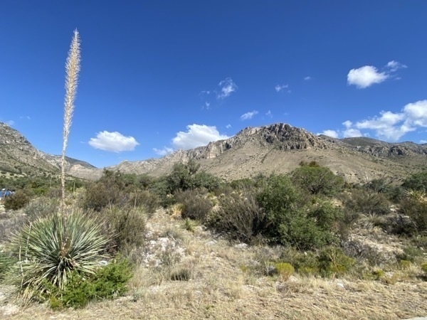
We drove into our 35th National Park and were not surprised to find that the Visitor’s center, water fountains, and bathrooms were closed because of COVID-19.. However, there were chemical porta potties to use.
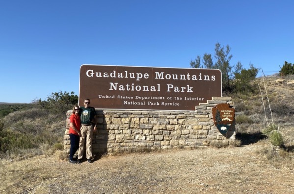
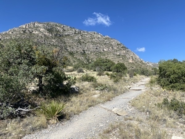
Because we were intending to be inside Carlsbad Caverns today, we were dressed in pants which were too hot to be wearing for hiking in this wilderness area. While here we hiked about three miles and then called it a day!
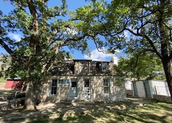
The Frijole Home with Frijole School (red building) in backgrounders
According to the sign by the house, this structure is the most complete remnant of early farming and ranching in the Gaudaloupe Mountains. The home, which consisted of the front rooms, is the oldest substantial building in the area, built in 1870. The Smth family moved here in the summer of 1906. They made their living primarily from truck farming and a small orchard. They used the first hydraulic ram in the area to pump water for the house and farm use. The nearest market for their produce was Van Horn, TX—a 60 mile trip one way. The family would leave in the evening, after covering the fruits and vegetables with wet paper and rags to protect them from heat, and arrive in time to meet the next morning’s customers.
The Frijole School House (red building on left) was built in 1925 and used into the 1930’s by up to 8 local children. The Smith’s hired a teacher for $30 a month plus room, board, and a horse. The teacher’s bed was in a separate room in the building.
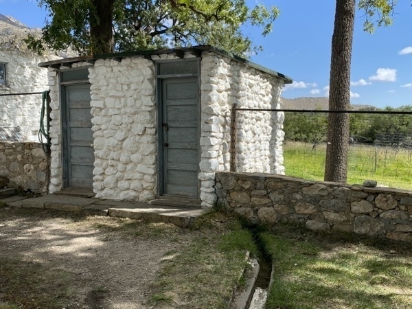
This outhouse has fresh water running from the spring to it and then leaving out the back.
-
HURRICANE LAURA - Evacuation Days 3 - 11
The Headlines were “Unsurvivable and Catastrophic”.
Landfall occurred at Cameron Parish at 1AM, August 27, 2020 with maximum winds of 150 mph a strong category 4 hurricane. (Katrina’s winds were 125 mph at landfall). Laura was the strongest land falling hurricane in Louisiana on record since 1856 (that one hit the community of “Last Island.’).
Laura is tied with the fifth strongest storm to hit the US. Highest wind speed estimate before equipment failure at Lake Charles Airport was 133 mph.
The Aftermath: Catastrophic was definitely the correct description tor Lake Charles and Southwest Louisiana ! The aftermath is unbelievable. From Entergy alone the damage assessment revealed 1,000 transmission towers, 6,600 broken poles, 338 miles of wire, and almost 3000 transformers requiring a near complete rebuild of the system.
Homes were blow apart, shingles flew off of houses, trees toppled or snapped, roofs collapsed, bricks tumbled. Billboards messages flew off and some billboards actually fell on homes. But our house stood firm.
We drove back into Lake Charles to assess our damage and clean out the refrigerators and freezers. We had driven from our evacuation location of Lewisville, TX in Big Hat, our motorhome, but parked it in the Kroger parking lot instead of driving it into the neighborhood because of all the trees and debris across the road (and the possibility of getting flat tires from the fences and roofing nails).
IT’s UNBELIEVABLE— OUR MADE IT THROUGH THE STORM! The big maple and pin oak trees in the back yard fell and knocked out the fence. They even fell toward the house, but not ON the house. Our big windows on the back were fine as was our roof. We are so fortunate because this good news certainly did not apply to our neighbors nor to the town.
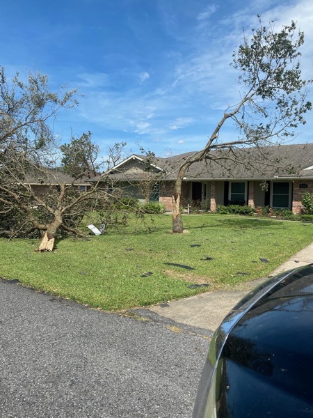
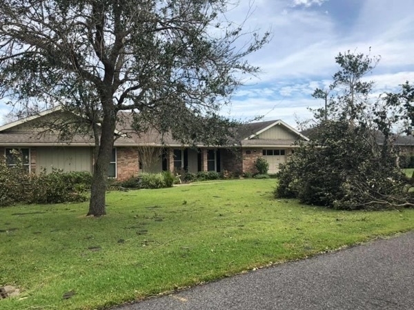
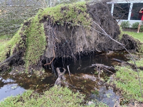
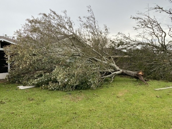
After we finished what we had planned to do at home, we drove our car back to the Kroger parking lot and spent the night in Big Hat. Kroger had crews cleaning the parking lot that night and much to our surprise, were fully open on Saturday morning! We drove the car back to our house in the morning and packed the clothes and supplies we needed for evacuation.
Since Lake Charles is under mandatory evacuation and that fact that we have no damage to the house, we decided to pack up the motorhome and finish the rest of our summer vacation that was cut short in July.
We drove to Katy Lake RV Park in Katy, TX and paid to stay there for a few days.
We drove over to Dan and Brenda’s house and visited with them the rest of Saturday before heading back to the RV Park to spend the night.
Sunday, August 30, we spent the day with Dan and Brenda again.
Monday, August 31 we drove out to Fulshear and spent the day with Steve and Mary Cole
Tuesday, September 1 - We got the oil and cabin filter changed in the car and Tom got a haircut. In the evening we drove back to Dan & Brenda’s for dinner and to visit.
Wednesday, September 2 - We left Katy and drove to Austin East KOA.
Thursday, September 3 - AUSTIN, TX -We drove down to the Capitol in hopes of being able to tour the building, but it was gated off because of COVID-19. We walked around the capitol block and then drove to Black’s BBQ where we met Michael for lunch.
Friday, September 4 - We headed further NW to the Whip In RV Park in Big Spring, TX.
-
Evacuation for Hurricane Laura
Day 1 Evacuation- Tuesday, August 25
A mandatory evacuation order was issued for SW Louisiana and SE Texas. We prepared our home and left in our motorhome. We were very pleasantly surprised to find that there was very little traffic going NW. We drove as far as Lufkin, TX where we stopped for the night at the Good Life RV Park.
While Tom set up the motorhome at the campsite, I drove to my friend Jennifer Yabloksy’s home and visited with her and her husband Michael.. We visited for about two hours--first visit since our 40th class reunion.
Day 2 Evacuation - Wednesday, August 26
We drove from Lufkin to Lewsiville, TX where we stayed at the Lake Park Campground. In the evening we walked around the campground and watched the sun set while we enjoyed the lower humidity .
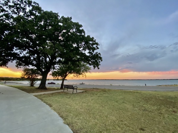
Day 3 Evacuation - August 27, Thursday - Lewisville, TX
Our friends Monty and Renee who live in Lewisville drove over to walk with us this morning before they left for work. We walked 2.5 miles while we visited.
-
Fargo, ND - Days 44 and 45 and final Trip Statistics
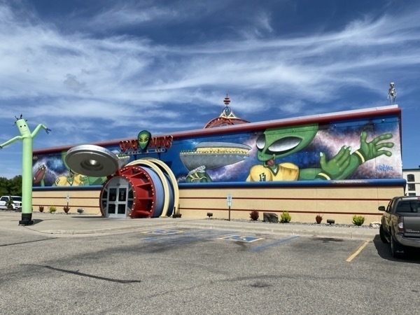
Our final stop on this trip, unbeknownst to us at the time, was Fargo. After some photo opportunities at the Visitor’s Center (which was closed) we headed to the Lindenwood campground. Where we stayed for the night. I headed to the laundromat to wash clothes and picked up food from Popeye’s on my way back to the campground. The next morning we return to the Visitor’s Center to plan our day in Fargo, when we received a call from Tom’s brother Bob telling us that Gramps (Tom’s dad) had died shortly before the phone call. We decided on the spot to head straight home and over the next two days we drove the entire 1,400 miles—16 hours the first day and 8 hours the second day.
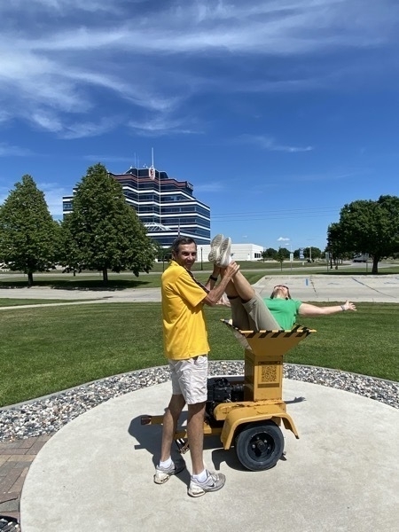
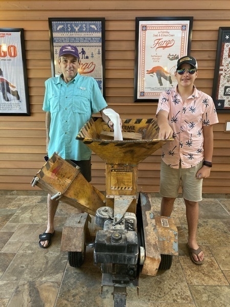
The infamous grinder used in the movie Fargo.
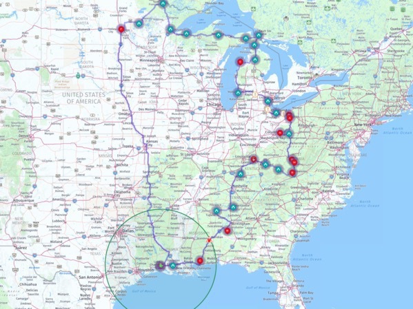
TRIP STATISTICS:
- This total trip cost us $5,577 or an average of $126.76 a day
- Gas: $995.56 or $22.63 per day
- Camground: 1,748.36 or $39.74 per day
- Food, Groceries, Snacks: 2,202.65 or 50.06 per day
- We drove a total of 6,549 miles– 4,999 miles on Big Hat 1,550 in the CRV
-
Itasca State Park, Minnesota - Days 43 and 44
Itasca State Park is where the headwaters of the Mississippi Rivei is located. The mighty Mississippi begins it’s 2552 flow from Lake Itasca 2,552 miles to the Gulf of Mexico.
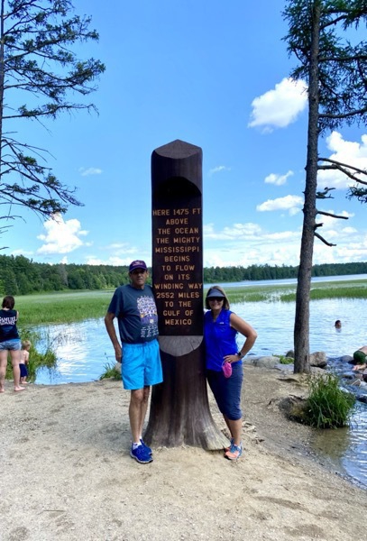
We rode our bicycles from our campsite down to the headwaters of the Mississippi River where it leaves Lake Itasca and begins its 2,552 mile journey to the Gulf of Mexico.
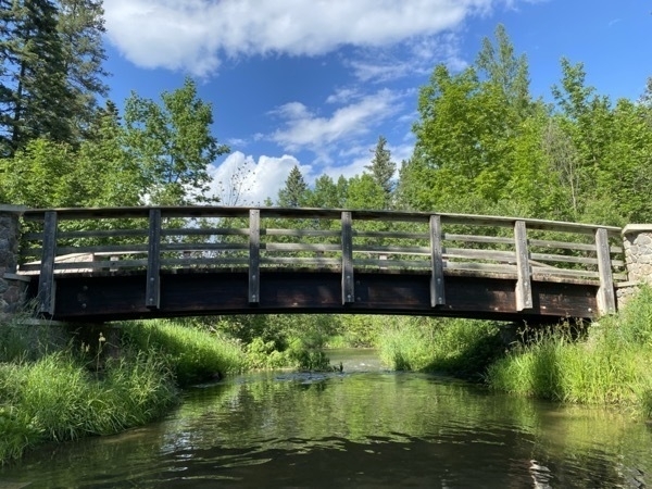
We walked downstream and back upstream for about .25 miles because the water was only 2-3 feet deep. This is the first bridge that crosses the Mississippi!
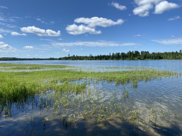
Lake Itasca
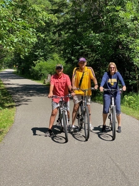
The bicycle trails within the park were very nice. The back gears on Ben’s bike broke, but luckily, the person who rents bicycles at the park was able to install a gear for him.
Trip Statistics:
We have driven at Toal of 4,865 miles - 3,361 in Big Hat and 1,504 in the car
We have spent 995.56 on gas or an average of $24.89 per day (today we paid 1.99 per gallon)
The Itasca State Park was $32 per night. Total campground costs is $1,748.366 or 39.74 per night
Groceries and eating total $2,261 or an average of $51 per day -
Voyageurs National Park Minnesota - Days 41 & 42
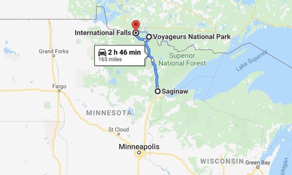
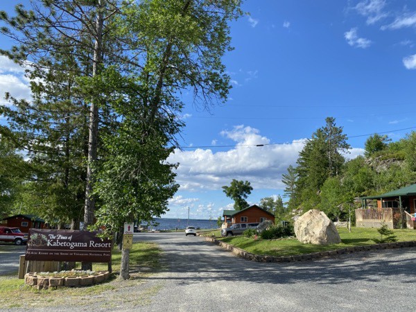
We drove from Saginaw, MN to the Pines of Kabetogama Resort outside of Voyageurs National Park on Kabetogama Lake.
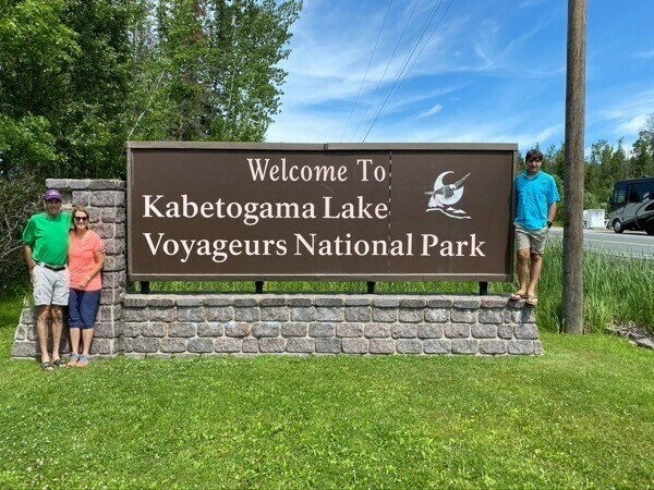
After getting settled and taking a quick rest, we drove Into our 34th National Park--Voyageurs National Park and hiked a 3 trail called the Echo Bay Trail. It was the worse trail we’ve ever hiked! The trail was mostly uncut tall grass with horseflies and bugs all around us. All the visitorss' centers in the park are closed because of COVID-19, so I guess the maintenance crews aren’t working either.
When we got back to the campground, Ben used the kayak and paddle board to enjoy the lake.
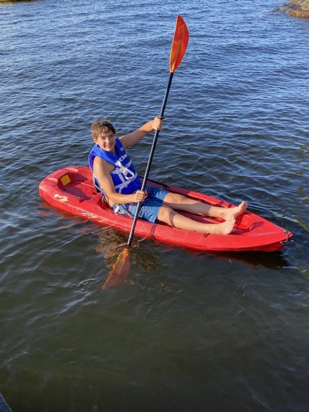
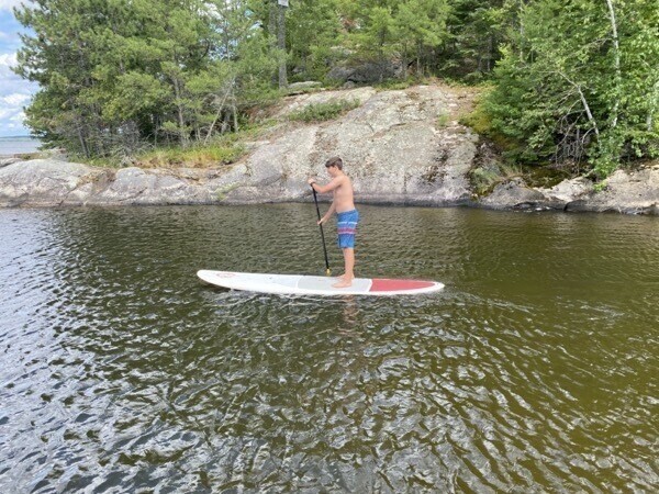
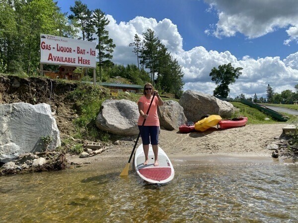
Although Ben had no trouble gliding through the water, I didn’t actually try paddle boarding because I was afraid I might fall off into the COLD water!
International Falls
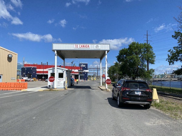
On Friday morning we drove to International Falls which is located on the Rainy River directly across from Fort Frances, Ontario, Canada. There is a major U.S. Customs and Border Protection Port of Entry on the International Falls side of the toll bridge and a Canadian Customs entry point on the north side of the bridge.
When Tom planned this trip in January, we were supposed to be coming back into the US here in International Falls after spending eight days driving above Lake Superior on the Canadian side. Unfortunately, that part of the trip didn’t happened and was replaced by our driving across the Upper Peninsula of Michigan, Wisconsin, and Minnesota to get back to this location. The border into Canada is still closed because of COVID.
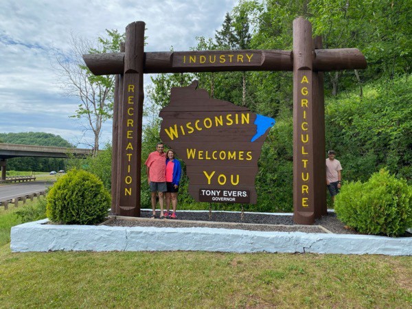
We were finally able to get a Welcome to Minnesota picture in International Falls for the tourists coming from Canada. When we entered the state near Duluth, the sign was by the bridge over Lake Superior and we could not stop for our photo opportunity.
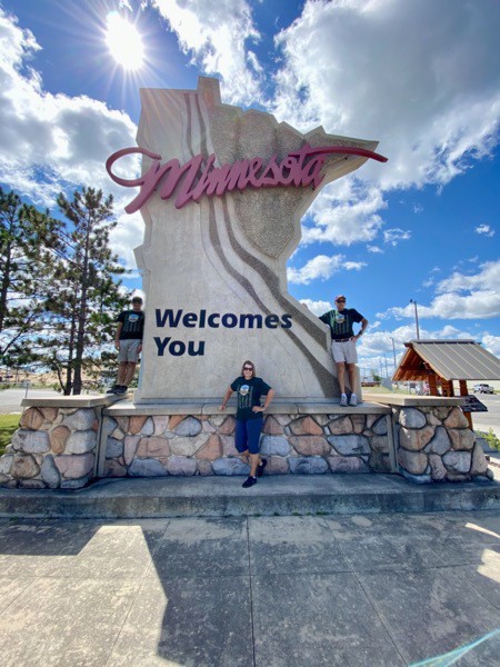
International Falls is nicknamed the "Icebox of the Nation,” with an average of 109.4 days per year with a high temperature below 32 °F.
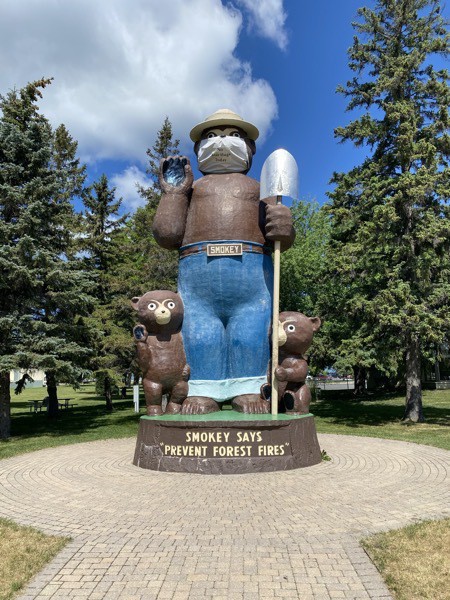
This is statue of Smokey Bear is the largest of its kind in the nation. This 26’ foot replica of “Smokey,” the national symbol of forest protection, was erected in 1953.
Bicycling the Rainy Day Trail
We road bicycles into the Rainy Lake section of Voyageurs National Park from International Falls and stopped for an ice cream break at the town of Ranier, located directly on Rainy Lake also.
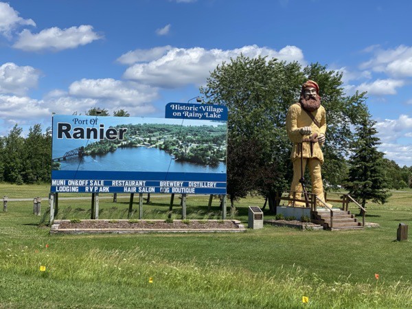
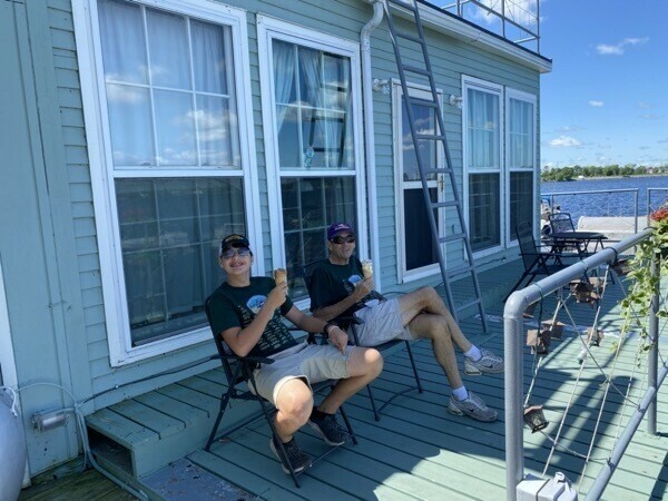
Since the trail was 11 miles long one way and we would have to ride back to return to the car, I rode the first 4.5 miles with Tom and Ben and then rode back to where we parked the car while they continued riding to the end. The trail was not well marked and they ended up riding two miles uphill in the wrong direction, but I found them and picked them up in the car.
Voyageurs is definitely a water-based natural park. We saw a huge number of parked trucks with empty boat trailers. Also, houseboats with slides could be rented by the week or for a three day minimum.
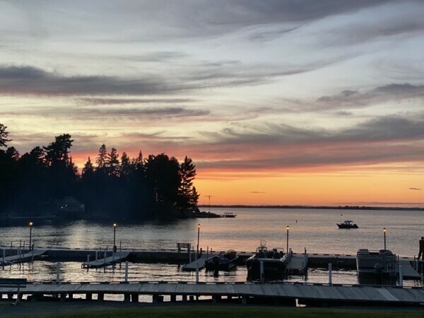
Sunset over Lake Kabetogama at our campground.
-
Duluth, MN - Day 40
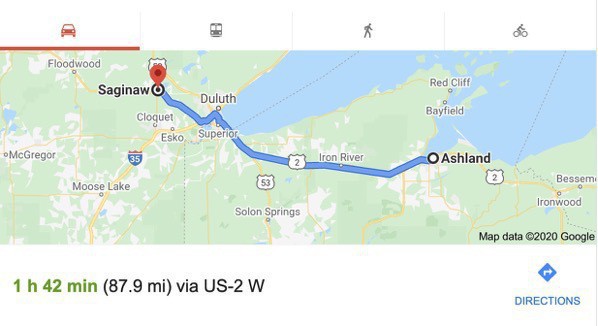
We drove from Ashland, Wisconsin to the Red Pines Campground in Saginaw, MN, near Duluth.
We drove to downtown Duluth to walk around and to see the Aerial Lift Bridge, a Duluth landmark. The bridge is lifted on the hour and the half hour if there is boat traffic waiting. For the huge vessels that pass under the bridge, the bridge is lifted when the vessel is still 1.5 miles out because those large ships can’t stop quickly. The bridge operator must give the vessels time enough to manuver if something happens. Boat traffic always has priority over vehicle traffic. The ship right-of-way into the harbor was the deal the city made with the United States Coast Guard when the bridge was built.
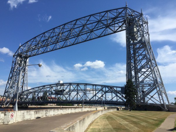
In this picture the bridge is down to allow pedestrians, cars, and trucks to cross
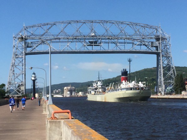
The bridge is lifted to it’s highest position to allow this ship to pass underneath.
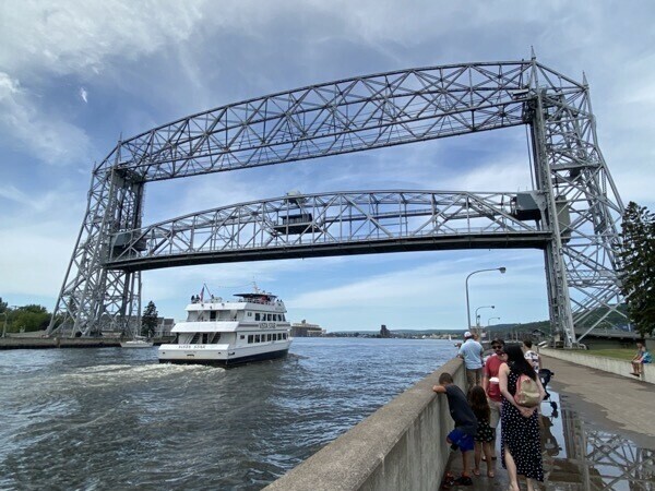
Since this boat is not as tall as the ship, the bridge is not lifted as high.
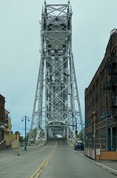
A view of the bridge as cars approach to cross
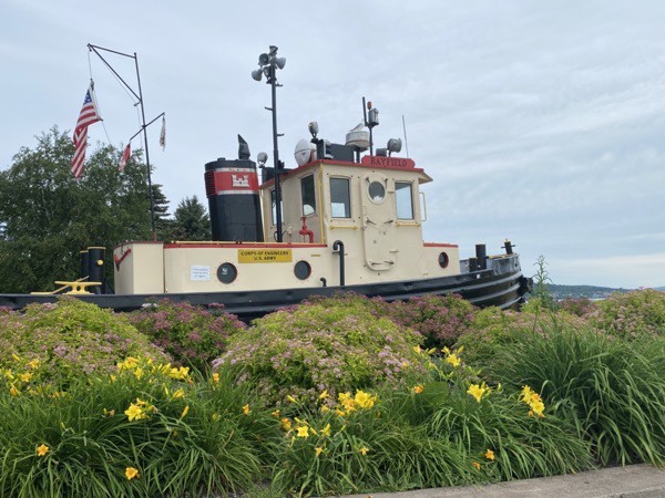
A tug boat is on displayed at the museum near the bridge.
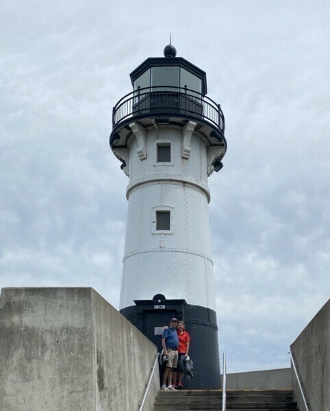
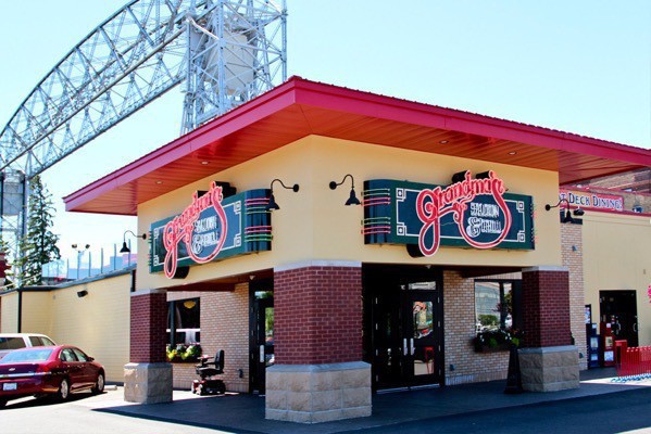
We ate lunch at Grandma’s Saloon and Bar by the bridge
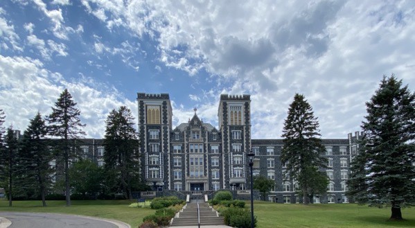
The unique building is part of the College of St. Scholastica campus
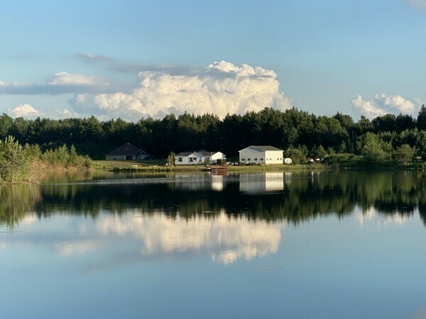
Our view from the campground
Trip Statistics:
- We have driven at Toal of 4,419 miles - 3,231 in Big Hat and 1,347 in the car
- We have spent 995.56 on gas or an average of $24.89 per day (today we paid 1.99 per gallon)
- The Red Pines Campground was $42 per night. Total campground costs is $1,534.36 or 38.36 per night
- Groceries and eating total 974.09 or $24.35 per day
-
Ashland, Wisconsin - Day 38
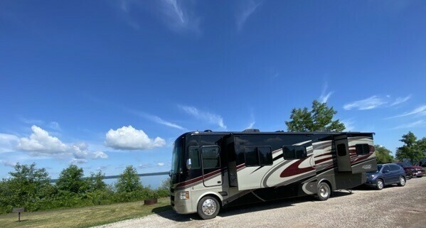
We left Van Riper State Park around 1:00 and drove to Ashland, WI, our stopping point on the way to Saginaw, MN (near Duluth). We stayed at the Kreher RV Park right beside Lake Superior. The city has a population of 8,200 and maintains two beautiful campgrounds right along the lake. In addition, they have several beautiful playgrounds and beach areas for families to enjoy. We walked downtown and enjoyed seeing the well-maintained landscaped lawns, wide streets and nice sidewalks.
We stopped at Dairy Queen after dinner and then went to Walmart for a groceries.
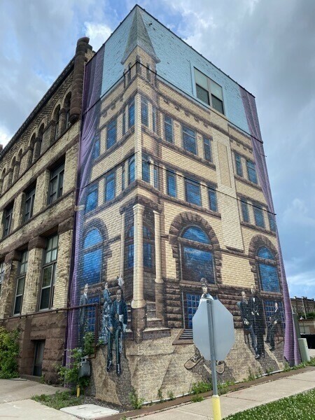
The building design is painted on the corner and side of this building.
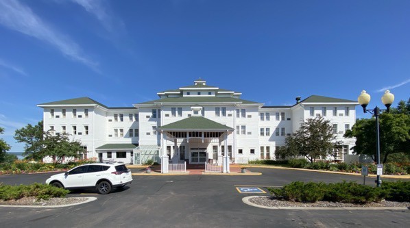
Best Western - The Hotel Chequamegon
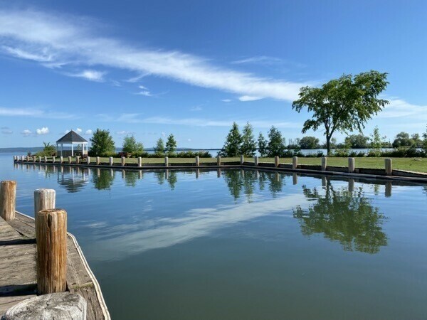
Our campground right on Lake Superior
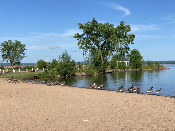
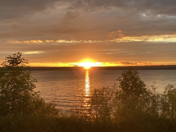
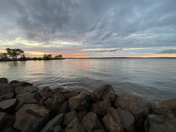
Sunset from our campsite
Played two games of Navy Bridge before bedtime. First night back in Central Daylight Savings Time.
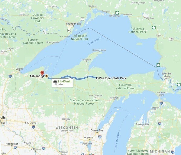
Trip Statistics
Trip Statistics
- Gas total 877.99 or an average of $23.73 per day.
- Kreher RV Park (City of Ashland) was $35.00. Total campground cost of $1,450.36 or an average of $39.20 per night.
- We’ve spent $191.20 on eating out and $700.89 on groceries or 23.47 on food.
-
Picture Rocks National Lakeshore - Munising, MI Day - Day 37
We had an early start this morning! We drove from Newberry 59 miles to Munising for a 10:00 Kayak tour on Lake Superior in Picture Rocks National Lakeshore. Tom walked to Miners Falls (1.2 miles roundtrip) and then Miners Castle so he could photograph us kayaking once we got to that point.
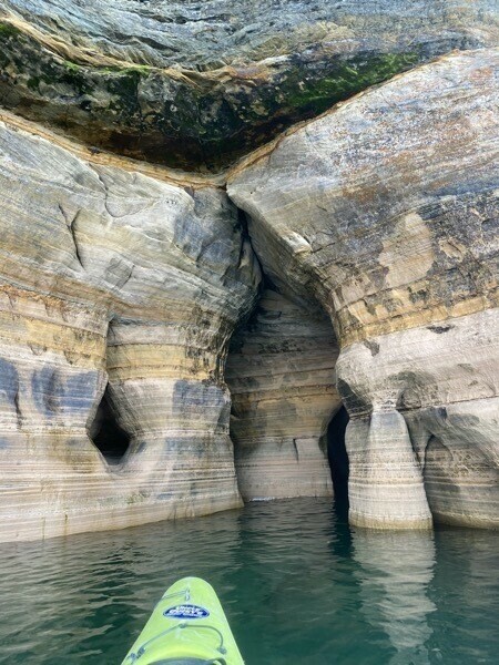
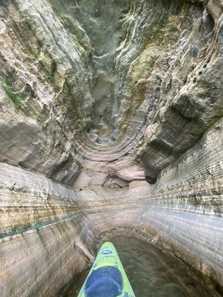
Picture Rocks National Lakeshore has beautiful sandstone cliffs and fine sandy beaches along Lake Superior shoreline as well as waterfalls, sand dunes and dense forest. The cliffs rise from 50 to 200 feet above Lake Superior for 15 miles from Sand Point to Spray Falls. The name “Pictured Rocks” comes from streaks of mineral stain that decorate the face of the weather-sculpted sandstone. These colors occur when groundwater oozes out of cracks and trickles down the rock face. Iron (red and orange), copper (blue and green), manganese (brown and black), and limonite (white) are among the most common color-producing minerals.
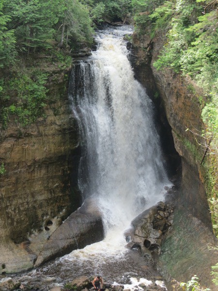
Miners Falls
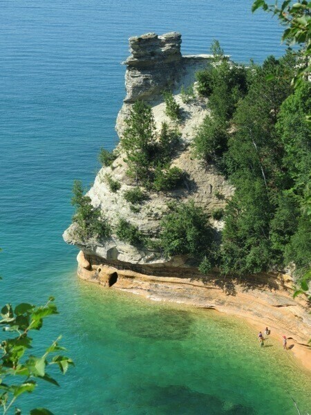
Miners Castle from the kayak
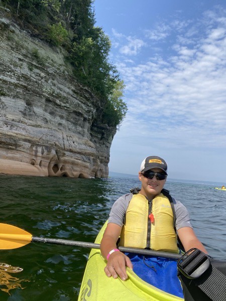
We booked our tour with Paddling Michigan and did the Morning Delight tour (@$109 each). The tour enabled us to paddle into the caves, along the cliffs, and get an upclose view of Miners Castle from the water.
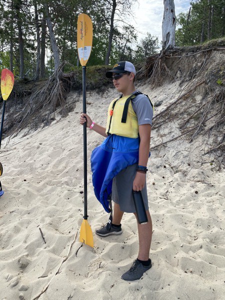
Check out Ben’s fashionable look! The blue layer under his life jacket fits around the kayak opening to keep him dry.
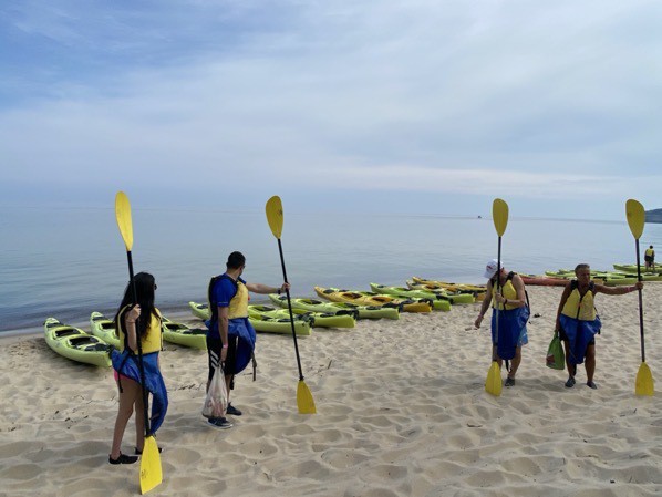
Getting a quick lesson before our tour.
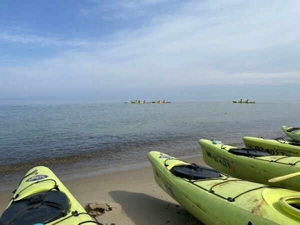
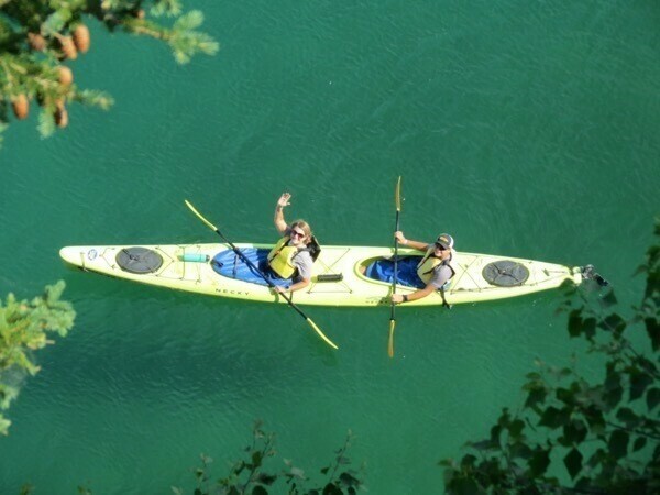
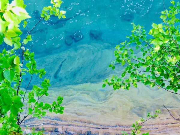
Tom took this picture of the crystal clear WATER from Miners Rock.
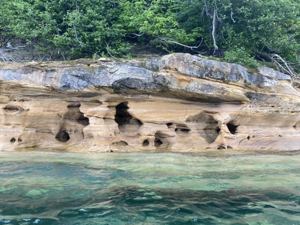
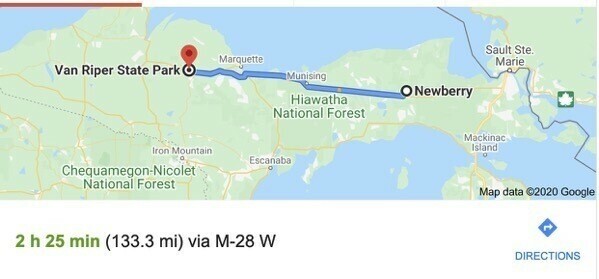
After our amazing kayak experience, we drove to Van Riper State Park near Champion where we are staying for the night. It has 1.5 miles of frontage on Lake Michigamme with a fine sandy beach and 1.5 miles of frontage on the Peshekee River.
Trip Statistics
- We have driven a total of 4,171 miles — 2,831 in Big Hat and 1,340 in the car .
- Gas total 877.99 or an average of $23.73 per day.
- Van Riper Campground was 37.00 per night for a total campground cost of $1,415.36 or an average of 38.25 per night.
-
Tahquamenon Falls State Park & Whitefish Point, MI - Days 35 & 36
Tahquamenon Falls State Park
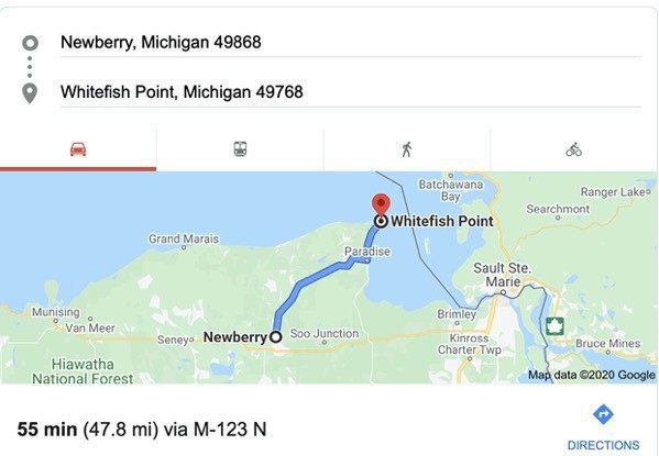
We drove 34 miles from the Newberry Campground in Newberry, Michigan to spend a few hours hiking between waterfalls in Tahquamenon (rhymes with phenonmenon) State Park. The Tahquamenon River with its waterfalls is the main attraction for this park of 50,000 acres spreading over 13 miles. The Upper Falls is one the largest waterfalls east of the Mississippi. It has a drop of nearly 50 feet and is more than 200 feet across.
We walked from the parking lot to the Upper Falls overlook which was only .5 miles to take a few pictures, It was much more crowded than we had anticipated, but we were prepared with our masks.
After taking a few pictures, we decided to hike to the lower falls, a four-mile trek. Most of the crowd was only interested in the overlook, but there were still some people who decided to hike the whole way. Since it would be another four miles to hike back (and mostly uphill the whole way), Tom hiked the first mile with us and then hiked back up to get the car, while Ben and I continued hiking to the lower falls. By the time we got there, Tom had driven to the lower falls parking lot, parked the car, and met us on the trail about .5 miles from the lower falls.
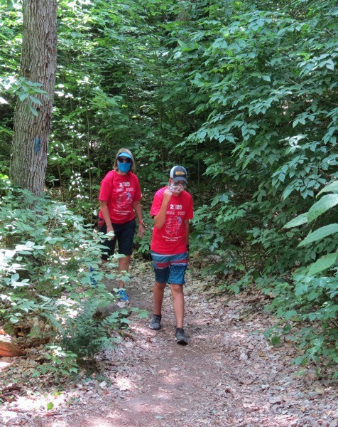
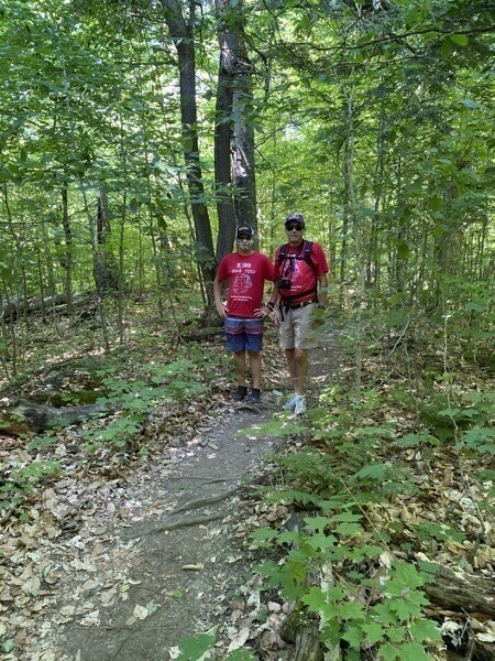
The hike was strenuous in some spots, but basically just a pleasant hike though the forest.
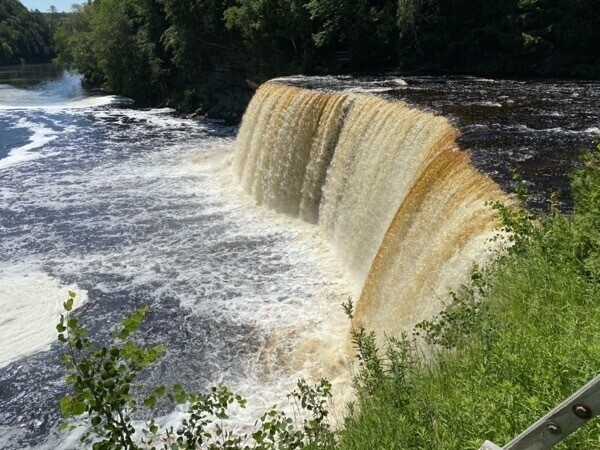
According to a gin by the falls: ”The falls are brown because of the tannic acid in the water caused by organic materials that originate from the decomposing vegetation founds in the cedar, hemlock and spruce forest found in the drainage basin. The tannic acids and other naturally occurring acids that stain the water are very weak and have little effect on lowering the natural pH of the river.. Over the last 20 years, the average pH has remained at 7.3 (slightly basic), which is safe for fish and wildlife.”
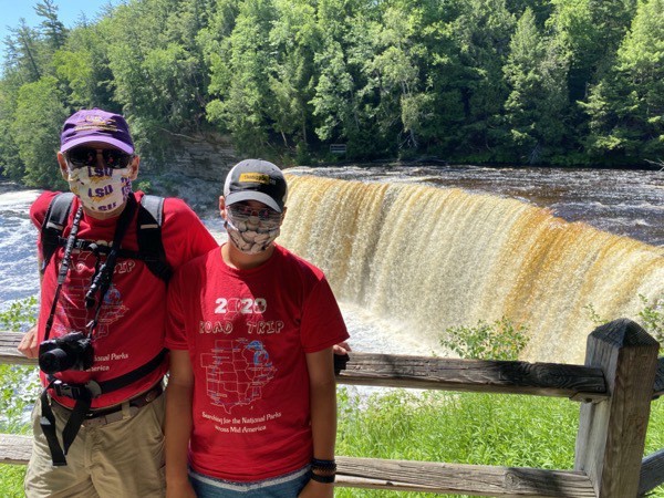
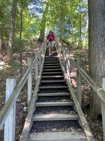
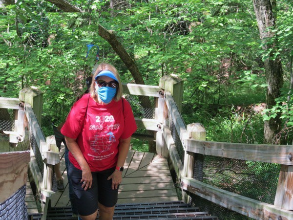
It definitely isn’t easy hiking in a mask, but we were diligent about wearing them when any people were near.
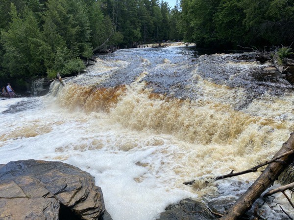
The Lower Falls
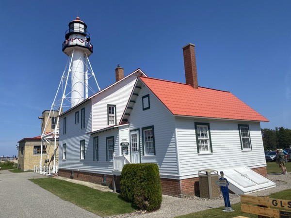
Whitefish Point
After leaving the state park, we drove 22 more miles to Whitefish Point.
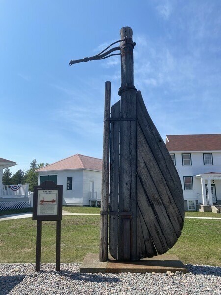
According to a sign at Whitefish Point, it “has been called the graveyard of Lake Superior. Since navigation began on Lake Superior, there has been approximately 550 wrecks. More vessels were lost in the Whitefish area than any other part of Lake Superior. …Coliisions were more common in earlier times because there were more vessels. In the 1880’s over 3100 commercial vessels were on the lakes compared to less than 200 today. Since the first known shipwreck of a commercial vessel, the Invincible, in November 1816 to the Edmund Fitzgerald on November 10, 1975, approximately 320 lives have been lost in over 300 shipwrecks and accidents.”
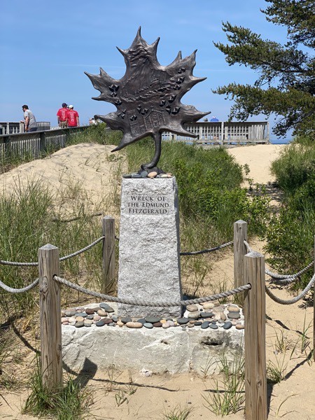
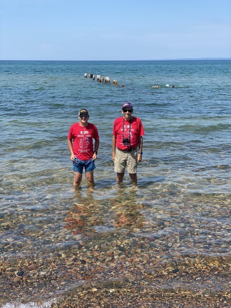
Ben and Tom getting their feet wet in Lake Superior
Trip Statistics
- We have driven a total of 3,995 miles – 2,697 in Big Hat and 1,298 in the car .
- Gas total 783.37 or an average of $21.76 per day.
- Newberry Campground was $55.00 per night for a total campground cost of $1378.36 or an average of $38.29 per night.
-
Sault Ste Marie - Days 33 & 34
We started the day with a 52 mile drive from St. Ignace to Sault Ste Marie, the oldest city in Michigan. We camped at the Soo Locks Campground, a beautiful location along the St. Marys River right across from Sault Ste Marie, Canada. Our initial plans before COVID were to cross the border into Canada and travel above Lake Superior. However, since Canada is still not allowing US citizens to cross the border for pleasure, our plans have now changed. We will now be driving across the Upper Peninsula to get to Minnesota to continue with the rest of our itinerary and reservations.
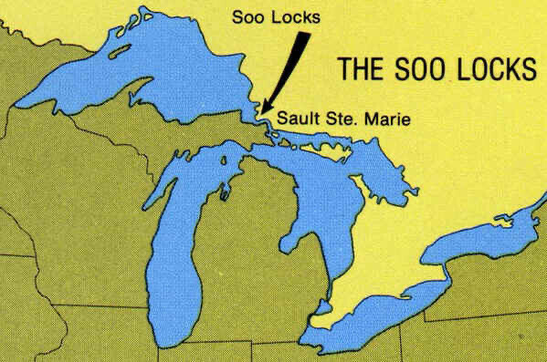
Here is where we are!
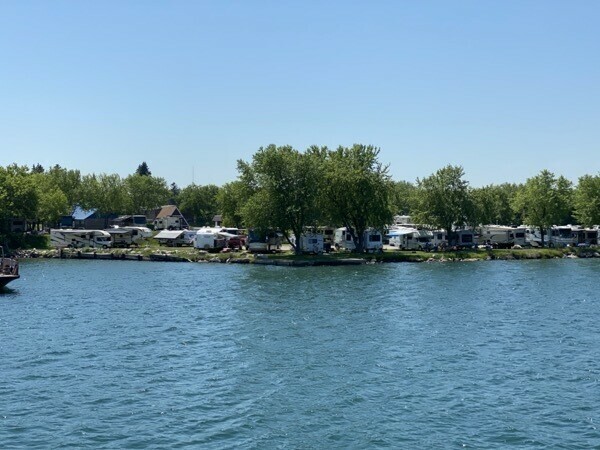
The campground was only 1.6 miles from the Soo Locks
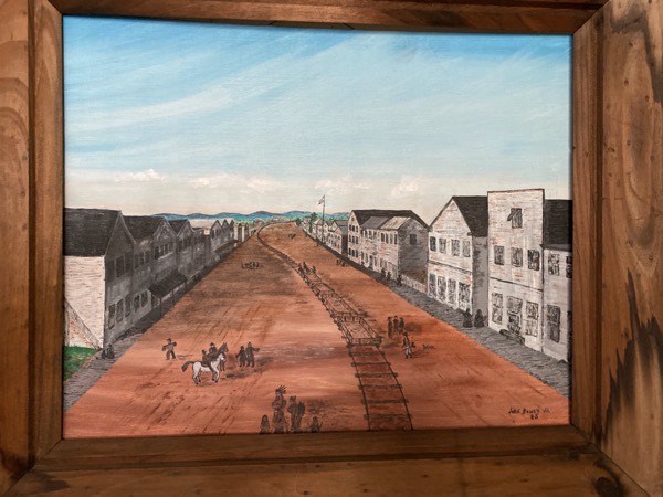
Prior to the Soo Locks’ construction, the waters between Lake Superior and Lake Huron were impassable by boat due to the rough 21 foot drop at the St Marys River rapids. Indians and early settlers had to portage their boats and supplies on land for one mile to go around the falls. This painting by John Bower, Jr hanging in the Tower of History, shows tracks through the town that were used to pull the goods and boats through town and back to the St. Marys River.
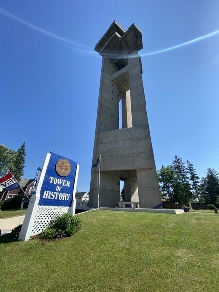
Tower of History
Construction on the Tower of History began in 1968 as the “Shrine of the Missionaries.” It was built to tell the tales of early missionaries in the Sault Ste. Marie area. The Sault Historic Sites donated it to city in 1980, and it now also includes Native American history.. There are 292 stairs (which we did not walk) and an elevator to the top where we had a panoramic view of the city, its bridges and the Soo Locks. Actually, the Tower’s literature boasts views of 1200 square miles from the top.
Soo Locks
The Soo Locks is the busiest port in the world by tonnage passing through its locks. On average, between seven and ten thousand ships come through the locks during the shipping season each year.(the locks are closed from January to March) Originally built in 1855, these locks connect Lake Superior to Lake Huron and beyond. Freighters over 1,000 feet in length can travel along the St. Marys River all the way from Duluth, Minnesota outward into the Atlantic Ocean and beyond. There are five parallel locks, four on the American side and one of the Canadian side. Two of the four American locks are no longer in usevand are slated to be removed to make room for a larger lock at that location.
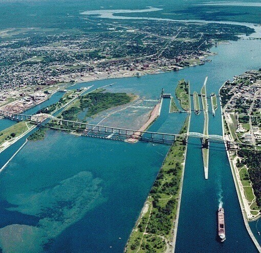
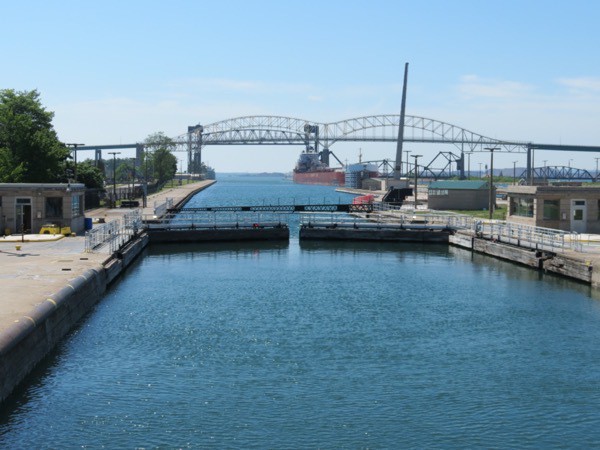
We took an interesting trip with Soo Locks Boat Tour ($32 for adults; $11 for kids). We were able to see all five locks as we went through the MacArthur American lock as we sailed towards Lake Superior and came through the Canadian Lock on our return trip.
We cruised underneath the International Highway Bridge that connects the USA to Canada and under the International Railway Bridge. We cruised right along side giant lake freighters & ocean vessels and learned the dimensions and tonnage of the passing ships.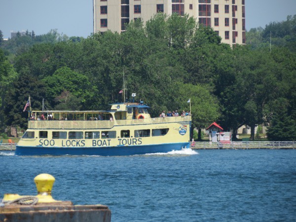
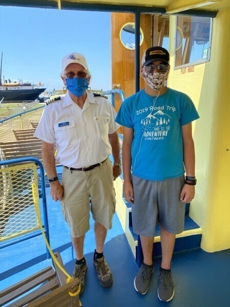
Ben with the captain
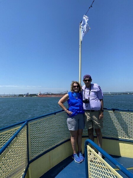
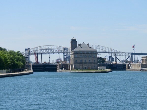
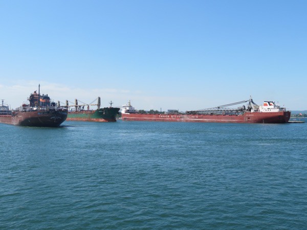
We are waiting for our turn to enter the MacArthur Lock on the left. The Poe Lock on the right is the lock used for the largest vessels.The vessels pictured below were in the locks and are now coming out.
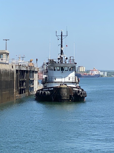
It’s finally our turn! We entered the lock with a tugboat and pleasure boat. The water level had to be raised 21 feet to reach the level of Lake Superior. This takes 10 million gallons of water on the smaller MacArthur Lock that we were in.
Here comes one of our lock companions.
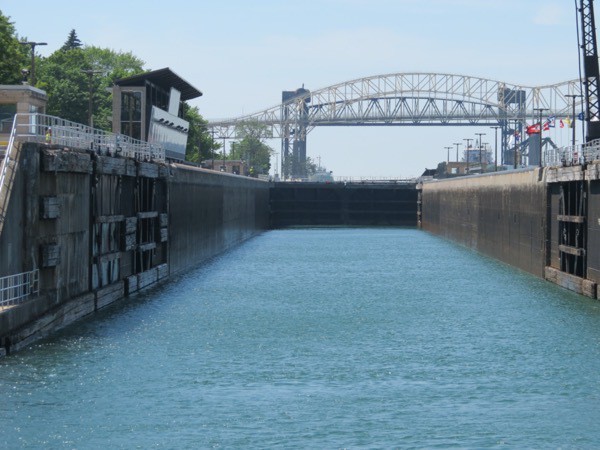
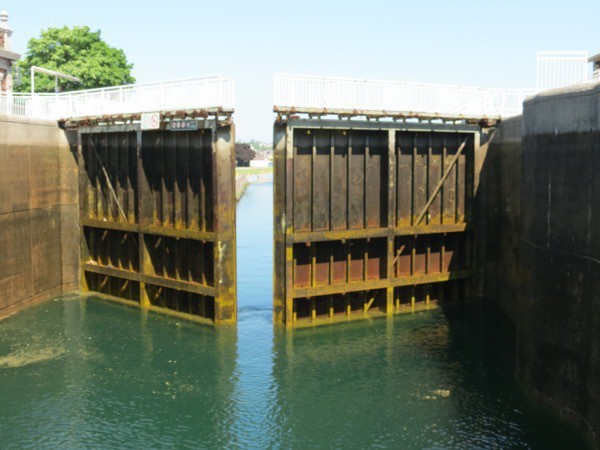
We are now level with Lake Superior and the gates are starting to open.
Coming back through the Canadian Locks we dropped 21 feet and were ready to enter the St. Marys River once again.
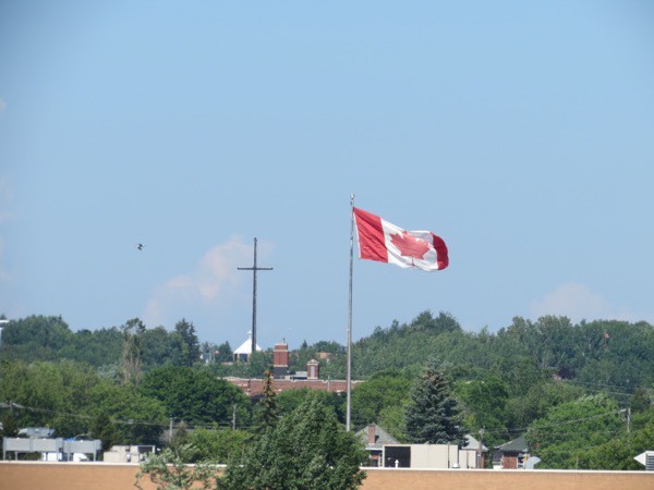
International Railroad Bridge
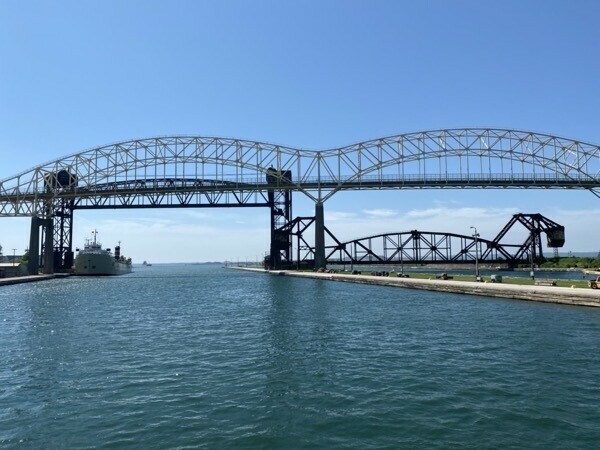
Here is a picture of some of the International Bridge with the International Railroad Bridge in the background. Both bridges are much wider than this picture, but the railroad bridge is especially interesting. It is one of only a few bridges in America to have more than one type of movable span. Not that I know what each of these types are, but here are the names of the various types of spans contained in this bridge: plate girder overpass span, vertical lift span, bascule span, camelback truss spans, swing span and plate girder span. Very interesting to see! The overall length of all these spans is 5,580 feet.
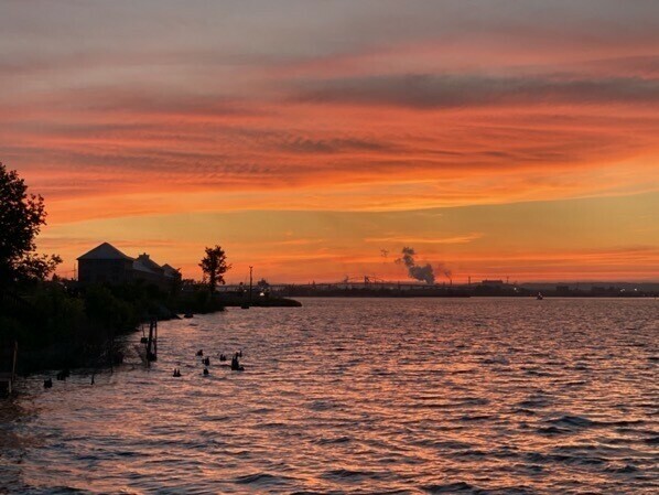
Beautiful sunset from campground
Trip Statistics
- We've driven 3,798 miles - 2,623 in Big Hat and 1,175 in the car
- We’ve spent $1,268.36 on gas or an average of $22.31 per day
- Soo Locks Campground was $32 per night. We’ve spent $1,268.36 on campgrounds, or an average of $37.30 per night
- We only walked 2.2 miles today and bicycled 4.5 miles
-
Mackinac Island, MI - Day 32
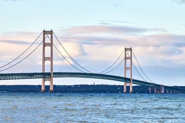
This morning we rode our bicycles one mile to the Sheplers Ferry Terminal and boarded (along with our bicycles) the ferry to Mackinac Island. The ride was 30 minutes with a slight detour under the Mackinac Bridge, a 5 mile long suspension bridge spanning the Straits of Mackinac to connect the Upper and Lower Peninsulas of Michigan.
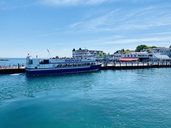
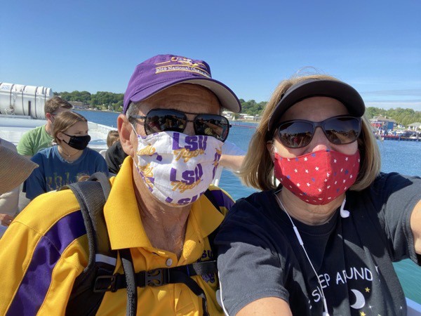
Mackinac Island
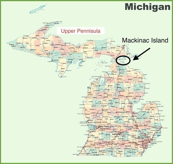
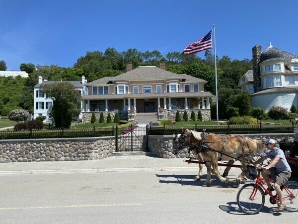
Mackinac Island sits in Lake Huron in the Upper Peninsula of Michigan near Mackinaw City and St. Ignace. We stayed in St. Ignace and the ferry ride directly there was only about 15 minutes. Motorized vehicles have been prohibited on the island since 1898 with the exception of snowmobiles, and the only way to get there is by ferry or by small plane. Transportation on the island is by foot, bicycle, horse drawn carriages and horseback. In the winter brave people actually ride snow mobiles across the Great Lake Huron on a natural ice bridge to get to land on the other side!
As of the 2010 census there were 492 people who lived on the island.The K-12 school on the island has 80 students.The elementary school two grades in each classroom. The middle/high school contains grades 7-12 and the average class size is about six, with a high of 10 and a low of 2. All students get to school by either walking or riding their bicycles. In the winter many arrive by snowmobile.
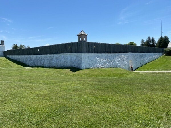
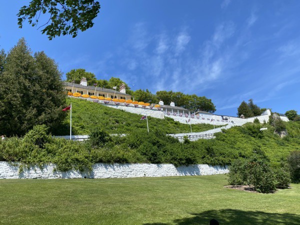
Fort Mackinac
Fort Mackinac was first built by the British in 1780-81. It was relinquished to the Americans thirteen years after the Revolutionary War. At the outbreak of the War of 1812 the British seized the island before the Americans realized the war had begun.
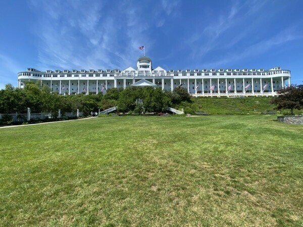
Grand Hotel on Mackinac Island
Construction began on the Grand Hotel in 1886 and it opened on July 10, 1887. At its opening, nightly rates at the hotel ranged from $3 to $5 a night (equivalent to $85.37–142.28 in 2019). I looked on the internet today and a one night stay ranges from $598 to over $1,000!
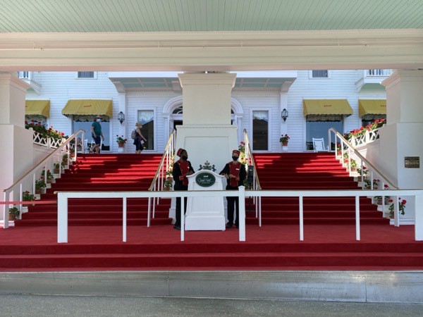
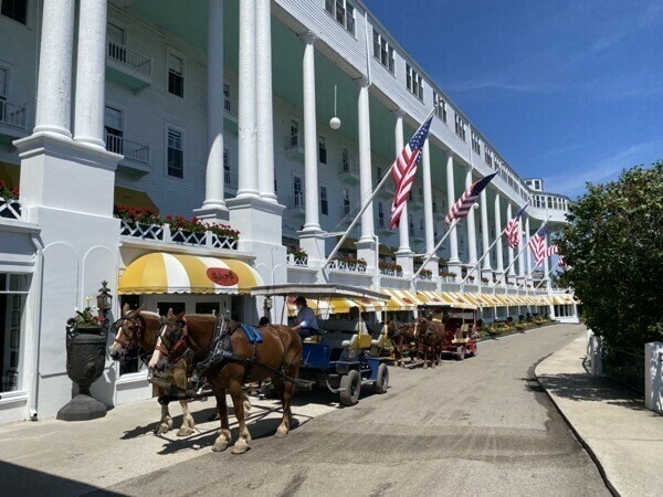
Guests arriving by horse and buggy
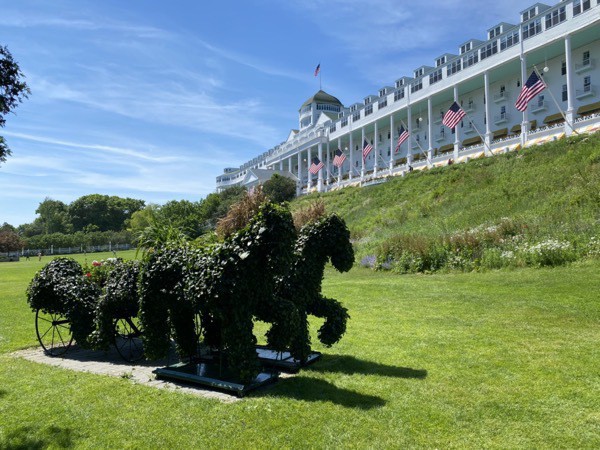
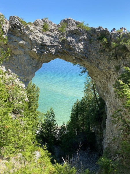
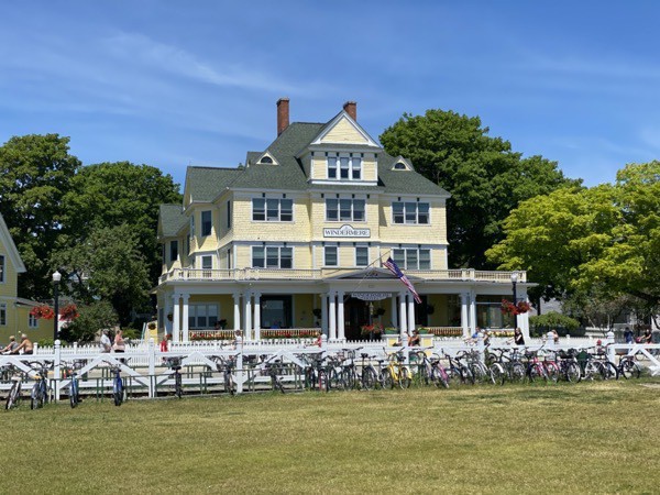
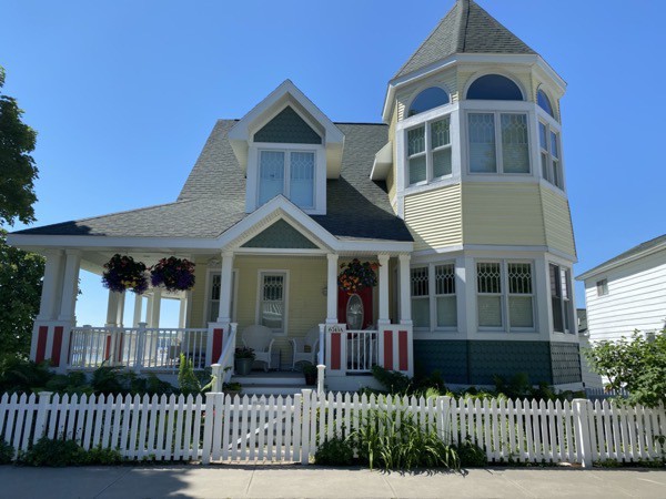
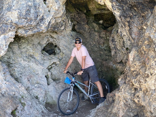
Riding bicycles around the island and the sites we saw
It’s 8.2 miles to ride all the way around the island. Because of high waters this year, part of the perimeter road was closed for repairs. We spent the day riding as far as we could on the perimeter road and then turning and riding some of the interior roads. Between our ride to the ferry and back and our rides on the island, we rode 14 miles today.
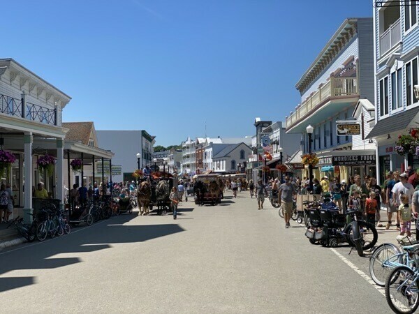
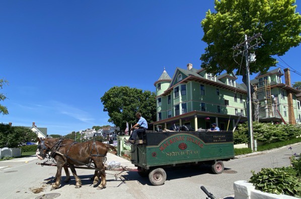
Horses pulling the garbage cart
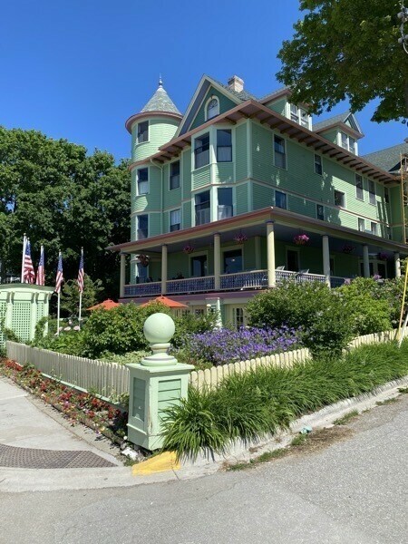
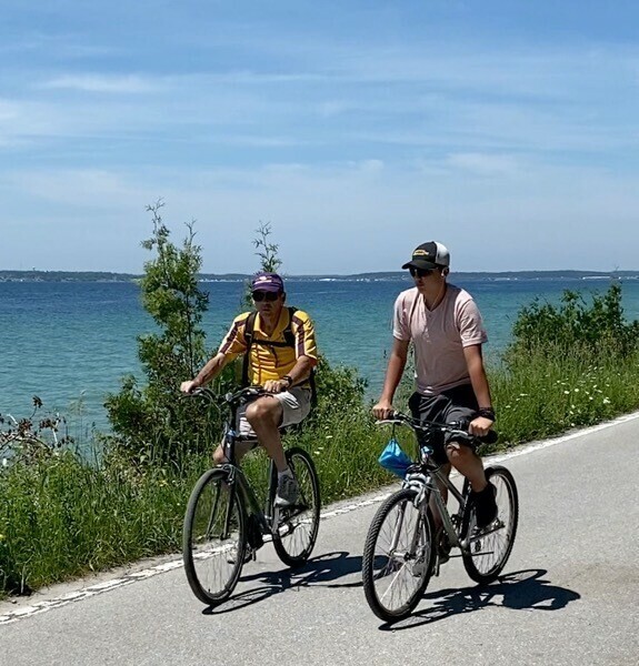
Biking along Lake Huron
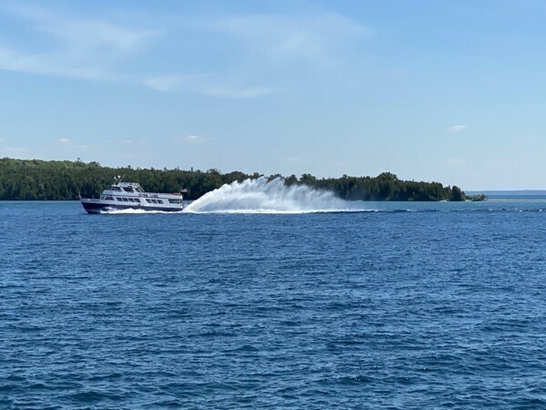
A jet ferry
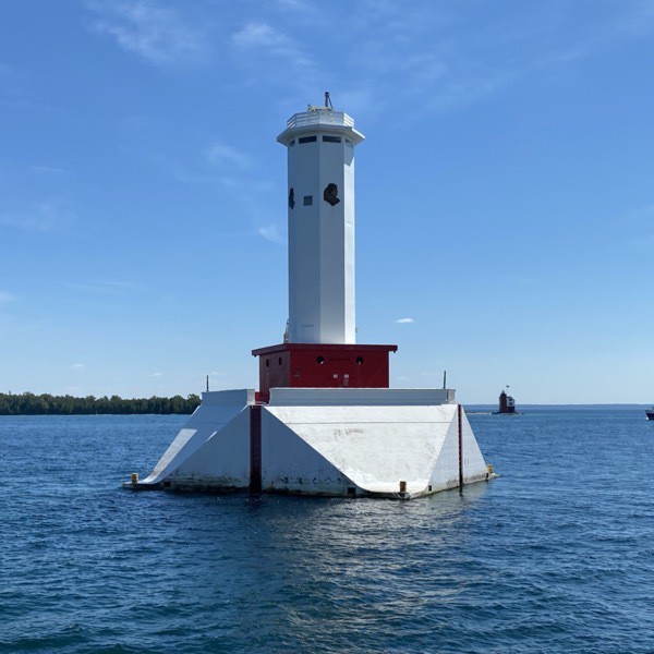
One of two lighthouses we saw on the island (the other is very small in the background
Trip Statistics:
- We have driven 3,720 miles in total - 2,571 in Big Hat and 1,149 in the car
- We are stayed Tiki RV Park which is a Passport America Park for $26 a night. Total Campgrounds $1,204.36 or an average of $37.64 a night.
- It cost $74.66 to ride the ferry today and take our bicycles to the island.