-
Through Yellowstone to Cody - Day 50
Yellowstone
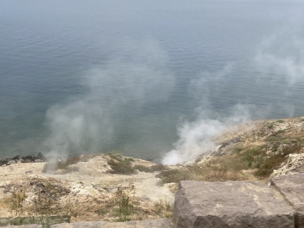
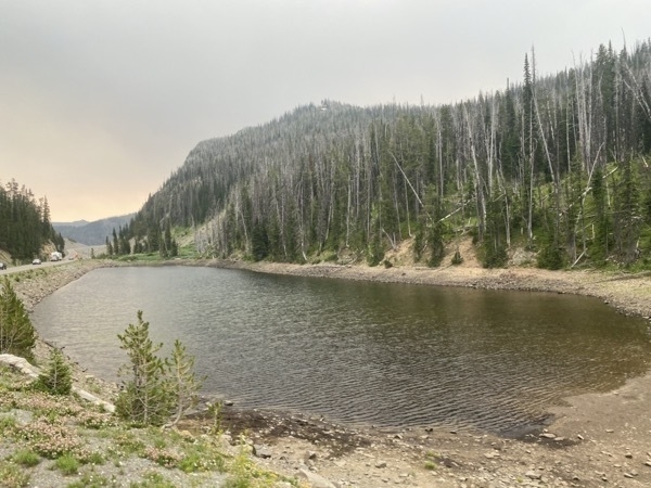
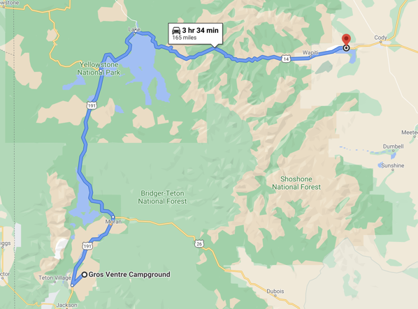
We left the Gros Ventre Campground in Grand Teton National Park at 6:15 this morning so we could get through Yellowstone before all the crowds got there. Our destination for the day is Cody, Wyoming which was 175 miles away. We did not encounter traffic in Yellowstone and the drive to Cody was a beautiful drive.
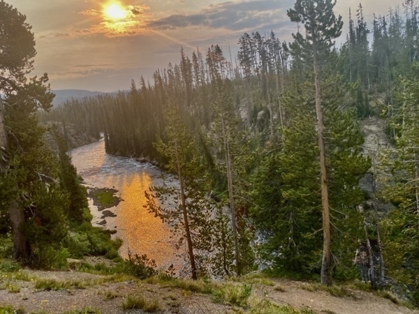
Sunrise in Yellowstone
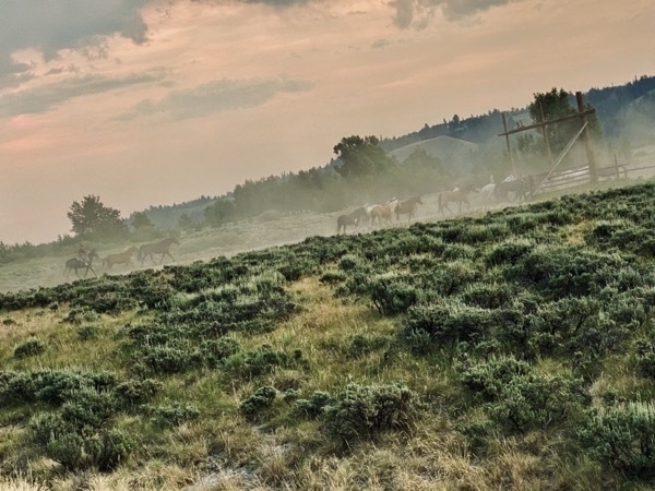
Hundreds of horses were being herded across the road in front of us at 6:30 this morning.
Cody, Wyoming
It was a beautiful day when we arrived in Cody. After parking the motorhome at Buffalo Bill State Park Campground, we drove toward the town of Cody and stopped at the Buffalo Bill Dam. We watched an interesting slide show about the building of the dam. The project was started in 1904 and completed in 1910 with many major setbacks. The work had to be done during the fall and winter months because of the heavy spring floods. When completed in 1910, it was the tallest dam in the world
 .
.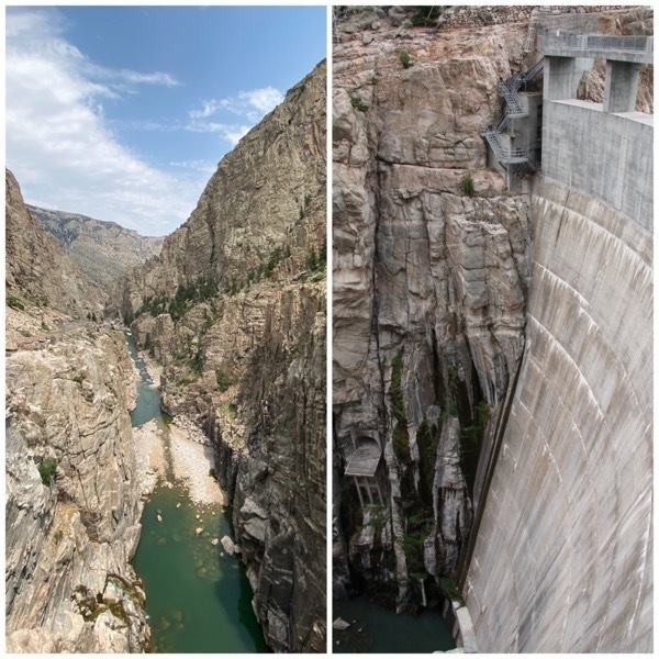
First named Shoshone Dam and renamed in 1947 to Buffalo Bill Dam
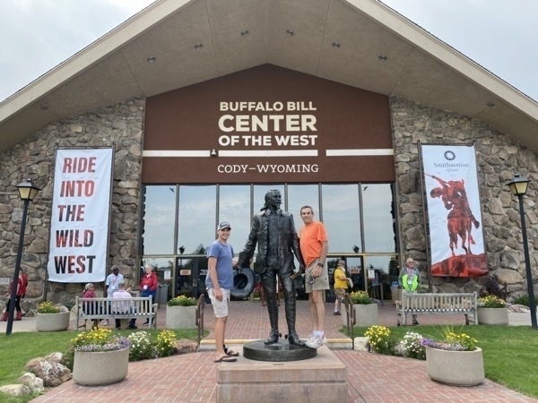
Buffalo Bill Center of the West
The Buffalo Bill Center of the West is a complex of five museums and a research library featuring art and artifacts of the American West. The five museums include the Buffalo Bill Museum, the Plains Indians Museum, the Whitney Western Art Museum, the Draper Natural History Museum, and the Cody Firearms Museum.
The Cody Firearms Museum houses the most comprehensive collection of American firearms in the world.. Tom and Ben enjoyed this exhibit, but I must admit, I skipped this museum. The Plains Indian Museum was absolutely fascinating.
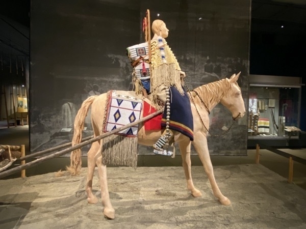
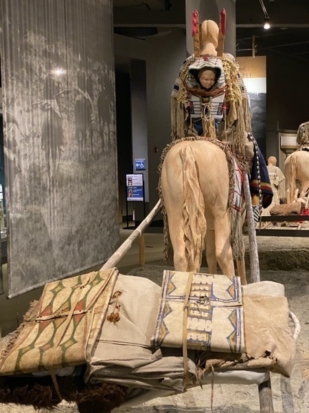
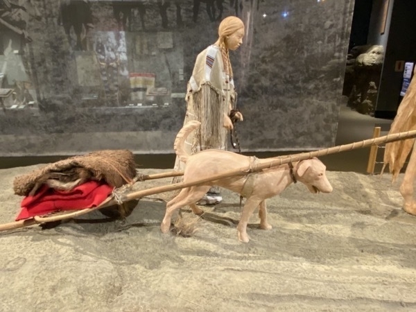
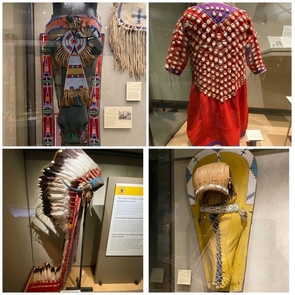
The night before the move, women packed family belongings. After breakfast the women took down and packed the tipi covers, backrests, bedding, and other furnishings on horses and travois. The hide bags were used to back dried meat, berries and tobacco .
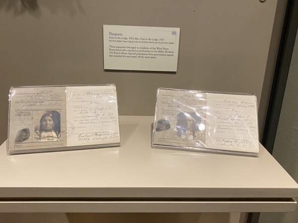
Special passports from government agents were required for any travel off the reservation. These passports belonged to residents of the Wind River Reservation who travelled as performers in the Miller Brothers 101 Ranch Show.
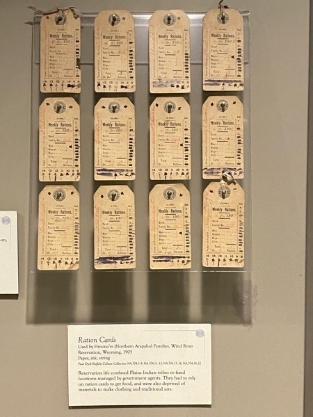
Reservation life confined Plains Indian tribes to fixed locations managed by government agents. They had to rely on ration cards to get food, and were also deprived of materials to make clothing and traditional arts.
Museum of Natural History
The museum features interactive exhibits highlighting geology, wildlife, and human presence in the Greater Yellowstone region. Videos, natural history dioramas, and photography replicate the sights, sounds, and smells of the area. Specimens of grizzlies, wolves, bighorn sheep, moose, elk and other wildlife are on display.
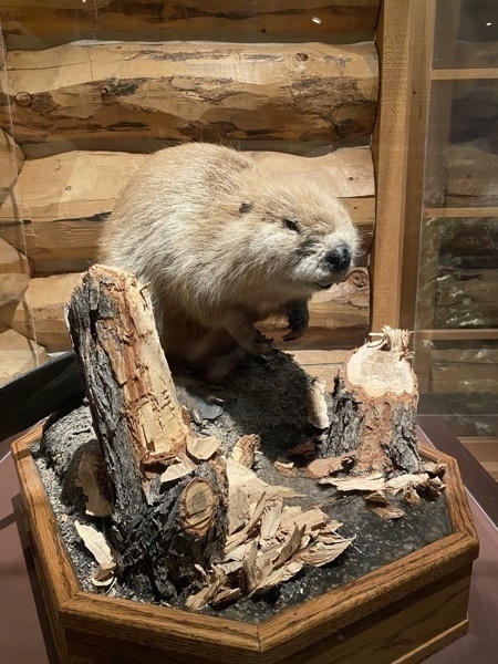
I learned that beavers can chew a tree 8” in diameter to make it fall!
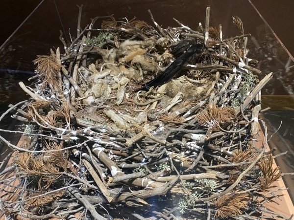
This is an eagle’s nest with remains of some of it’s food: a cottontail rabbit, red fox, white tailed prairie dog, whitetail jack rabbit, prairie rattlesnake, chuckar, black raven, & hawk
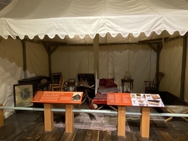
Bill Cody’s travel tent complete with a paining on cotton fabric, desk, wool chair throw, rocking chair, suitcase, antler and table, bowl and picker set, hardwood chamber pot chair and a portable bathtub
Buffalo Bill State Park
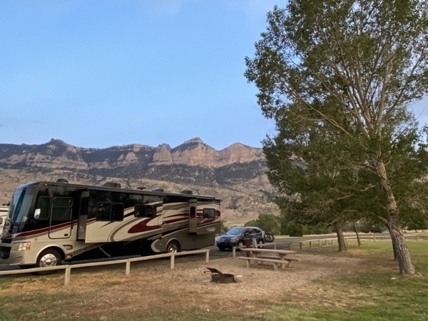
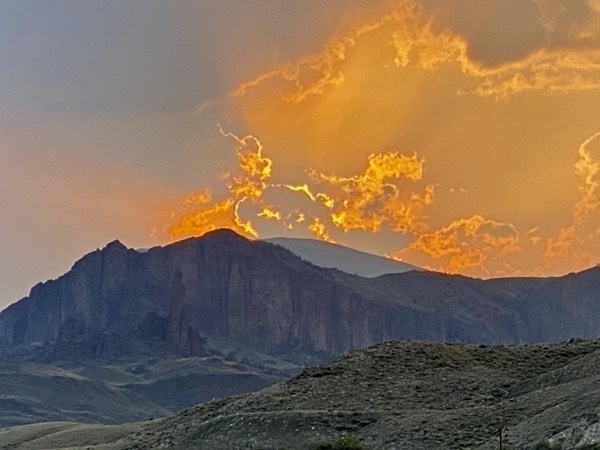
Our campsite #48 and sunset looking the opposite way
-
Through Yellowstone to Cody - Day 50
Yellowstone
We left the Gros Ventre Campground in Grand Teton National Park at 6:15 this morning so we could get through Yellowstone before all the crowds got there. Our destination for the day is Cody, Wyoming which was 175 miles away. We did not encounter traffic in Yellowstone and the drive to Cody was a beautiful drive.

Sunrise in Yellowstone

Hundreds of horses were being herded across the road in front of us at 6:30 this morning.


Cody, Wyoming
It was a beautiful day when we arrived in Cody. After parking the motorhome at Buffalo Bill State Park Campground, we drove toward the town of Cody and stopped at the Buffalo Bill Dam. We watched an interesting slide show about the building of the dam. The project was started in 1904 and completed in 1910 with many major setbacks. The work had to be done during the fall and winter months because of the heavy spring floods. When completed in 1910, it was the tallest dam in the world
 .
.
First named Shoshone Dam and renamed in 1947 to Buffalo Bill Dam
Buffalo Bill Center of the West
The Buffalo Bill Center of the West is a complex of five museums and a research library featuring art and artifacts of the American West. The five museums include the Buffalo Bill Museum, the Plains Indians Museum, the Whitney Western Art Museum, the Draper Natural History Museum, and the Cody Firearms Museum.

The Cody Firearms Museum houses the most comprehensive collection of American firearms in the world.. Tom and Ben enjoyed this exhibit, but I must admit, I skipped this museum. The Plains Indian Museum was absolutely fascinating.


The night before the move, women packed family belongings. After breakfast the women took down and packed the tipi covers, backrests, bedding, and other furnishings on horses and travois. The hide bags were used to back dried meat, berries and tobacco .


Special passports from government agents were required for any travel off the reservation. These passports belonged to residents of the Wind River Reservation who travelled as performers in the Miller Brothers 101 Ranch Show.

Reservation life confined Plains Indian tribes to fixed locations managed by government agents. They had to rely on ration cards to get food, and were also deprived of materials to make clothing and traditional arts.
Museum of Natural History
The museum features interactive exhibits highlighting geology, wildlife, and human presence in the Greater Yellowstone region. Videos, natural history dioramas, and photography replicate the sights, sounds, and smells of the area. Specimens of grizzlies, wolves, bighorn sheep, moose, elk and other wildlife are on display.

I learned that beavers can chew a tree 8” in diameter to make it fall!

This is an eagle’s nest with remains of some of it’s food: a cottontail rabbit, red fox, white tailed prairie dog, whitetail jack rabbit, prairie rattlesnake, chuckar, black raven, & hawk

Bill Cody’s travel tent complete with a paining on cotton fabric, desk, wool chair throw, rocking chair, suitcase, antler and table, bowl and picker set, hardwood chamber pot chair and a portable bathtub
Buffalo Bill State Park

Our campsite #48 and sunset looking the opposite way

-
Grand Teton National Park - Day 48 & 49
Tom drove over the 8432’ Teton Pass into Jackson, WY from Idaho this morning. Warning sign read: "The Teton Pass in extremely dangerous and is HAZARDOUS FOR OVERWEIGHT TRUCKS. Grade steepness, grade length and curve severity can cause trucks to lose control”. Just the sign you want to read when the motorhome weighs over 24,000 pounds, is 37” long and is towing a car with three bicycles! There was a 10% grade going downhill for at least 6 miles with several warning signs each mile to stay in low gear and travel the curves at 25 mph. I was scared, but Tom did fine driving it.
Once we parked the motorhome in the Gros Ventre Campground in Grand Teton National Park, we drove into Jackson and walked around and took this iconic picture in the town square. For those of you who haven’t been, there are four of there antler arches in the town square, one on each corner.
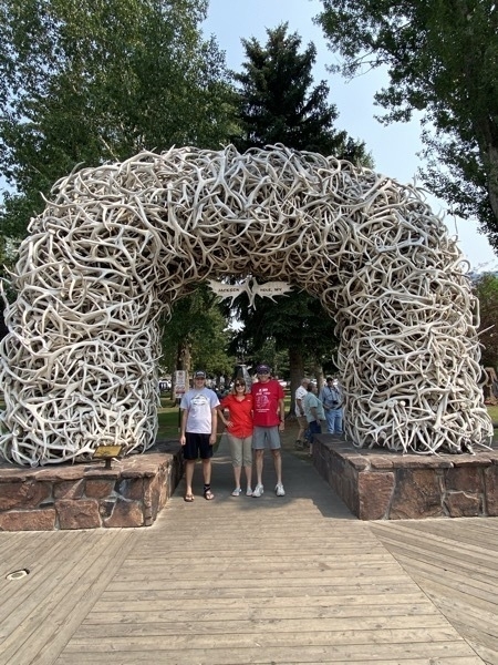
Jackson, WY town square
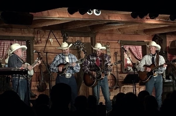
In the evening we went to a chuckwagon dinner at the Bar J Ranch which was very entertaining. We had the usual chuckwagon meal of BBQ Beef or chicken, baked beens, applesauce, biscuit and baked potato.
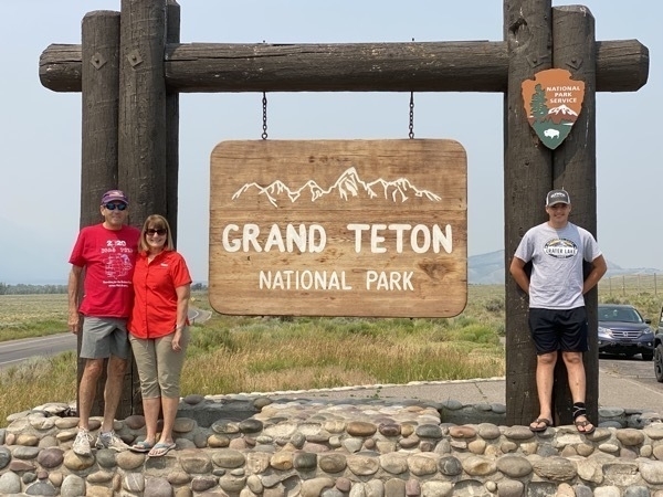
Grand Teton National Park
We stayed at the Gros Ventre Campground in Grand Teton National Park. We had no hookups at all and were not allowed to run the generator. Fortunately, the evenings were cool with the temperature in the 40s at night.
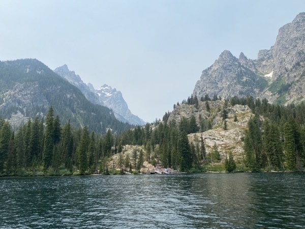
We drove to Jenny Lake and rode a boat to the other side where we hiked up to Inspiration Point.
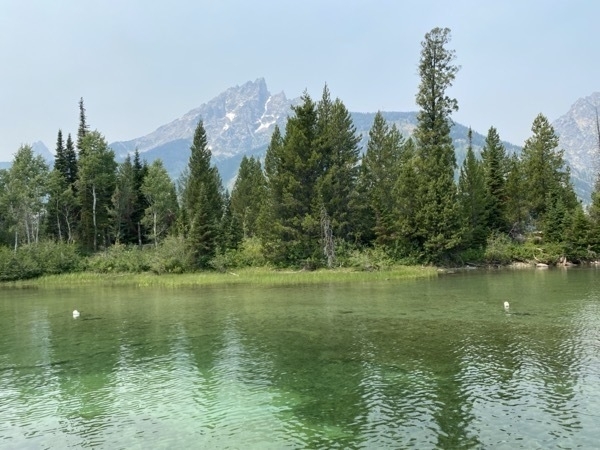
Jenny Lake
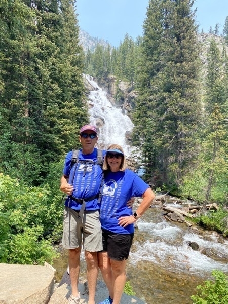
Hidden Falls is behind us
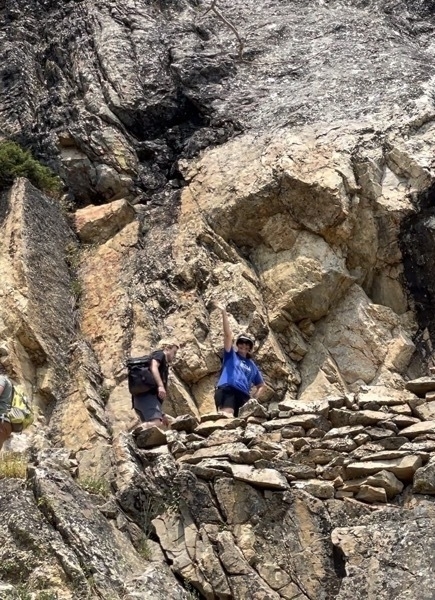
Going up
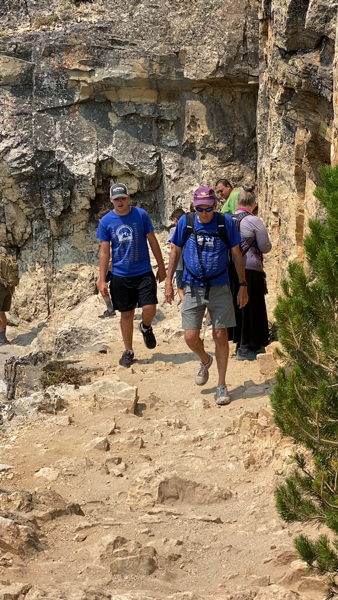
This trail was narrow and switchback, but the views were very nice.
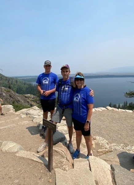
We made it to the top. The sign reads “Inspiration Point 7200 Ft"
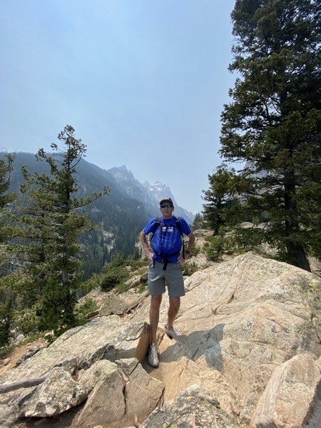
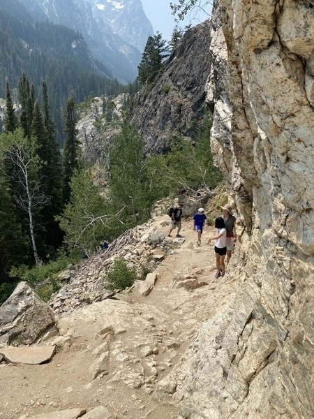
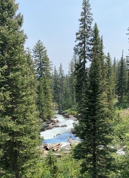
When we got back down to the lake, there was a LONG line waiting to ride the boat back across Jenny Lake. We waited for 1.25 hours for our turn .
In the evening we visited with Tom’s high school classmate Gayle and her husband Breland who just happened to be camping in the same campground.
Trip Statistics
- We drove the motorhome 98 miles from Rexburg, ID. Trip total distance travelled in motorhome is 5007 miles
- We drive the CRV 100 miles with at Grand Teton. Touring total is 2,065. Total trip for both vehicles is 7,263 miles
- We stayed at the Gros Ventre Campground in Grand Teton for $21.65 (which is 1/2 price with the NP5 Pass). Total campground cost is $1,937.21 or an average of $3950 per night
- We’ve spent $2,741.32 on gasoline. The last fillup was $3.799 per gallon
-
Route of the Hiawatha Rails to Trails - Day 45
One of the highlights of our trip for me is riding on this scenic bike path. This is the third time Tom and I have ridden this trail and the second time for Ben.
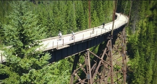
The ride is 15 miles gently downhill with a shuttle back up to the top and another 1.6 mile ride back through the first tunnel. The trail is stunningly gorgeous and goes through 10 tunnels and over 7 sky high trestles. The best part is that the trail is ALL DOWNHILL with a gentle 1.6% average grade and a 1,000 foot drop in elevation over its 15 mile path.
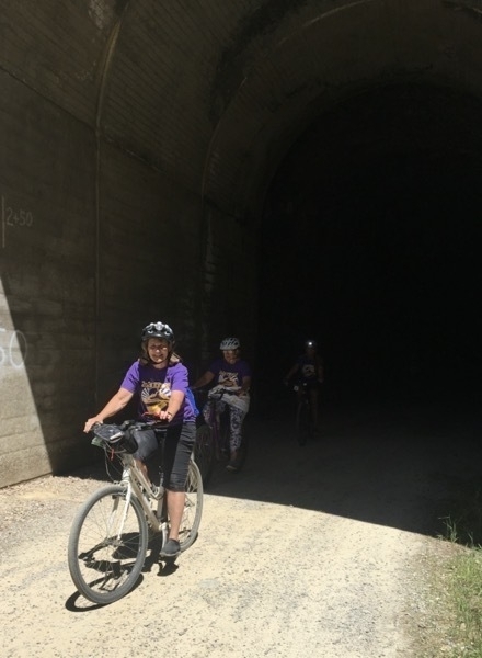
The Hiawatha is located in the beautiful Bitterroot Mountains and utilizes the abandoned Milwaukee Railroad grade between the historic old town site of Taft, MT and the North Fork of the St. Joe River near Avery, ID. The St. Paul Pass Tunnel is 1.66 miles in length (and pitch black when you’re riding through it) and burrows through the Bitterroot mountains between Idaho and Montana.
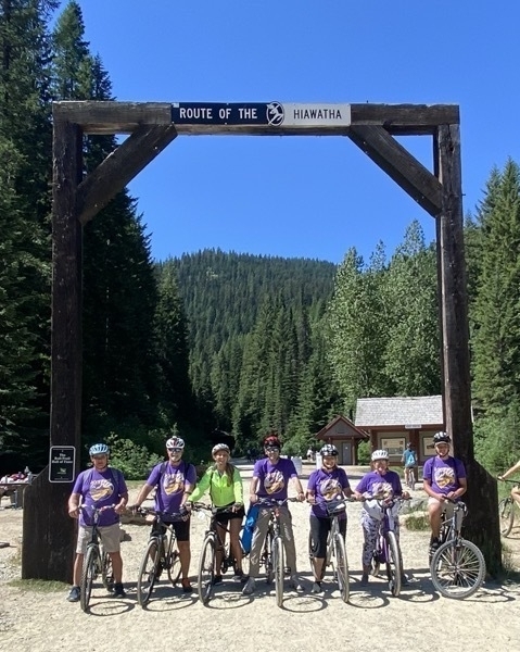
We are ready to start!
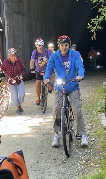
Coming out of the 1.66 mile first tunnel. It is absolutely DARK in there, so everyone who rides must have lights
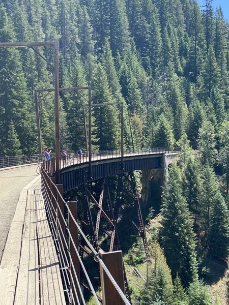
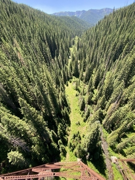
It’s a LONG way down from up here on the trestle!
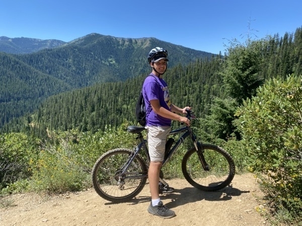
Along the way there was interesting signs pointing our historical facts about this area.
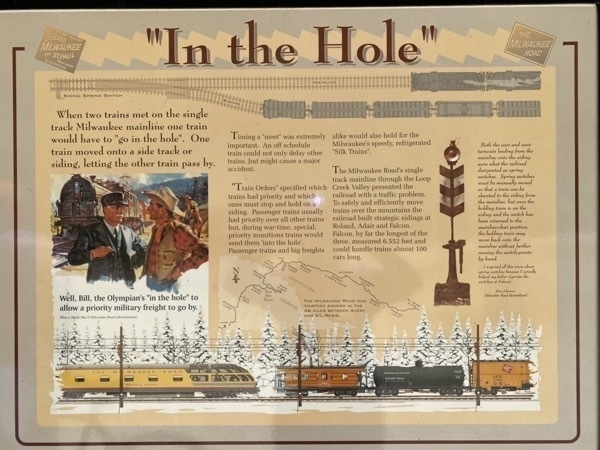
Passenger trains usually had priority over freight trains, except during the war when special priority munitions trans would send the other ones “in the hole.”
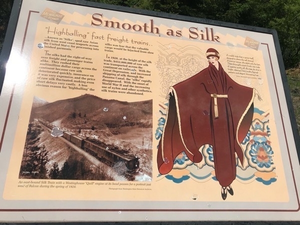
A very interesting sign about the transportation of raw silk across the US! The trains carrying the raw silk had the right of way over all passenger and freight trains.
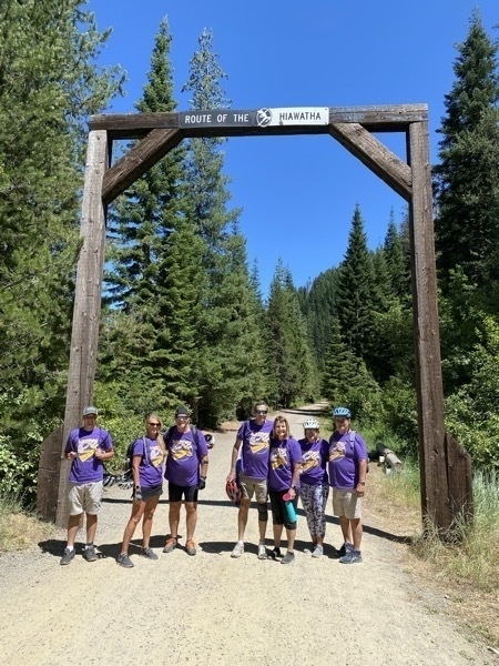
Here we are at the end of the trail. Our bikes are in line waiting to be picked up. Once we got to this point, there were 48 people in front of us also waiting for the shuttle. A few crazy people even turned around and rode back UP the trail. We made the third bus. The bus drove back up an adjacent road and dropped us off and the end of the first tunnel . As our bikes were unloaded, we grabbed ours and rode back through the tunnel and to the parking lot.
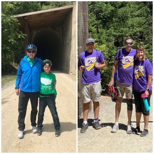
Just as a point of reference, here’s a picture of Tom and Ben from three years ago when we rode the trail. He’s definitely GROWN since then!
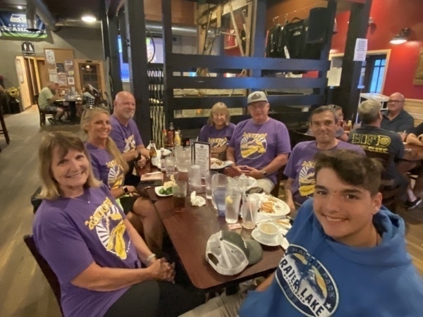
After our day on the trail we enjoyed a delicious dinner at City Limits Pub and Grill.
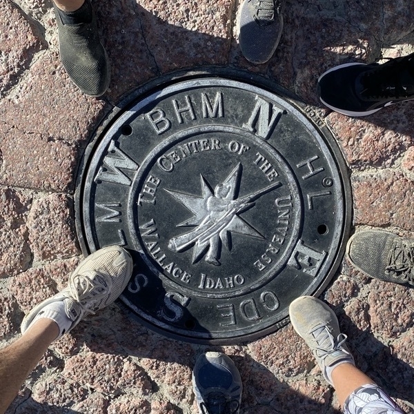
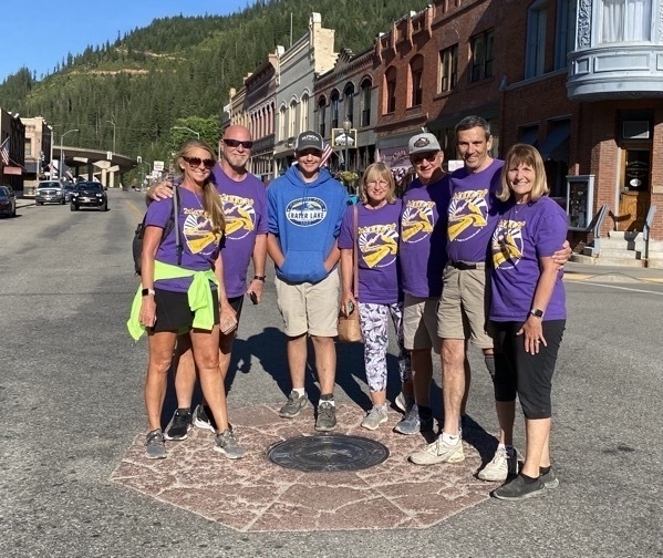
Standing around the plaque in the middle of the street marking Wallace, Idaho as the Center of the Universe!
Trip Statistics
- We did not move the motorhome today.. Trip total distance travelled in motorhome is 4,461miles
- We drive the CRV t73 miles oday. Touring total is still 1,905 miles. Total trip for both vehicles is 6,366 miles
- We stayed at the Crystal Gold Mine RV Park for $41.15. Total campground cost is $1,631.62 or an average of $39.62 per night
- We’ve spent $2,366.23 on gasoline. The last fillup was $3.599 per gallon
- We’ve spent 801.88 for tours and admissions and $1,236 on groceries and eating out.
-
Spokane to Kellogg, Idaho - Day 44
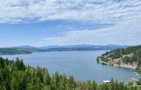
Today we drove 60 miles from Spokane to the Crystal Gold Mine RV Park in Kellogg,, Idaho where we are staying for the next two nights. We drove past beautiful Coeur D Alene, Idaho on our way.
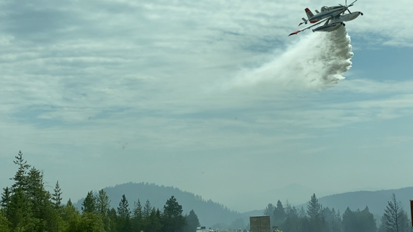
As we approached Kellogg we saw lots of smoke and were told that lighting had caused a forest fire. This is the first time we have ever seen planes fighting a fire and there were six of them that flew over us. The one pictured below actually sprayed our motorhome.
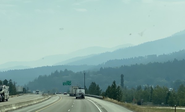
By the time we arrived in Kellogg the sky was beginning to clear as the fire was on the west side of us at that point.
Crystal Gold Mine
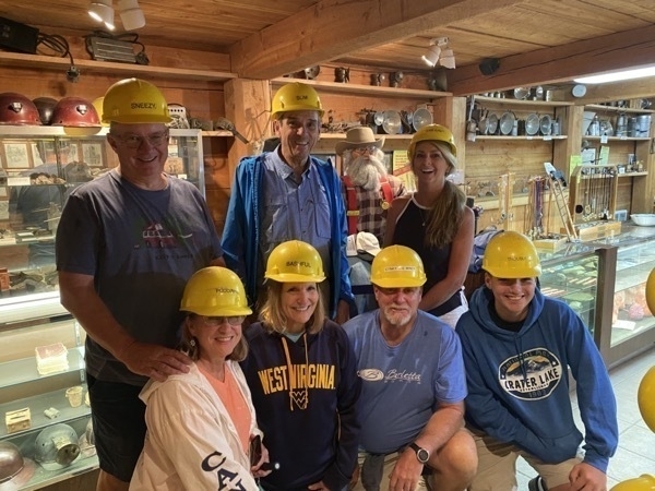
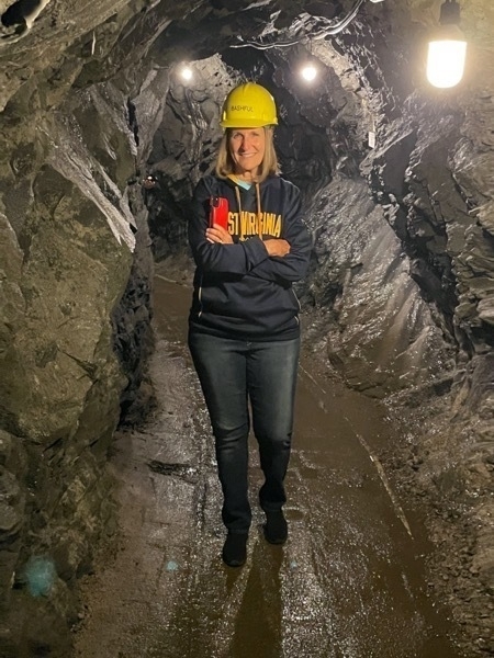
The Rv park where we are staying and the Crystal Gold Mine share the same location. We toured the mine in the afternoon. We wore hard hats with the names (bottom row) Puddin, Bashful, Stinky Miner and Trouble. Top Row - Sneezy, Slim and Bam Bam
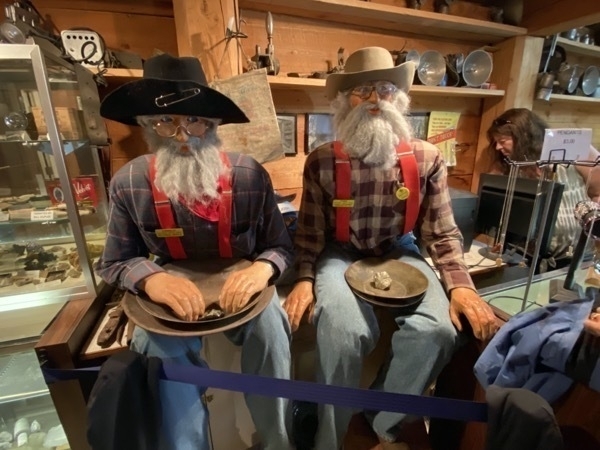
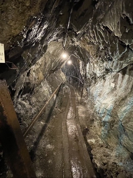
The old mine was closed from 1899 to 1999 and totally sealed up. Over those one hundred years filled up with water. Supposedly, no-one knew that mine was here. When the owner was creating the RV park, he was looking for a water source and noticed a trickle of water coming from the base of the mountain. He used a backhoe to dig into the side of the mountain and all of a sudden water gushed out of the mountain and shot the back hoe 100 yards towards the interstate. (The driver wasn’t hurt).
FLASHBACK: In 1967 my hometown of Montgomery, WV was flooded when an overpass from the bridge over the railroad tracks to 2nd Avenue was being constructed. The construction crew inadvertently hit an old underground coal mine shaft and the water gushed down the mountain and flooded the middle of town. Many of the department stores had basements and all of the basements flooded, including my dad’s office of the Bureau of Mines which was located in the basement of the Post Office)
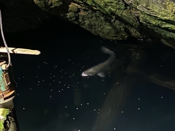
Anyway, water was left in this shaft of the gold mine and two rainbow trouts were placed there to show the tourists how clean the water is. Those two fish should be a lot bigger because they are fed on every tour that goes through.
Our guide pointed out the different minerals in the mine. He said the gold was mined from the seams of quartz.
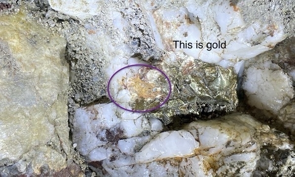
Along with the VERY small amount of gold we saw, we also saw silver, manganese and copper.
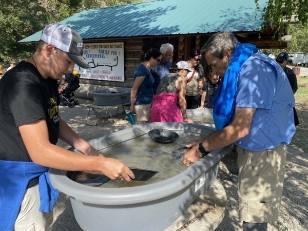
Afterwards we were able to have an hour to pan for gold. None of us found any gold, but we did find some small beautiful rocks that the owners dumped in the mix.
In the evening we played Phase 10 until our quitting time of 10:00.
Trip Statistics
- We drove 60 miles from Spokane to Kellogg.. Trip total distance travelled in motorhome is 4,461miles
- We didn’t drive the CRV today. Touring total is still 1832 miles. Total trip for both vehicles is 6,293 miles
- We stayed at the Crystal Gold Mine RV Park for $41.15. Total campground cost is $1,590..47 or an average of $39.62 per night
- We’ve spent $2,366.23 on gasoline. The last fillup was $3.599 per gallon
- We’ve spent 801.88 for tours and admissions and $1,236 on groceries and eating out.
-
Spokane - Day 43
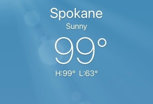
Today it was a hot day in Spokane!! In the morning Tom, Ben and I road bicycles on the Centennial Trail which was near our campground and runs for thirty-seven miles. Tom’s knee started hurting, so he had to stop, but Ben and I road 5.66 miles.
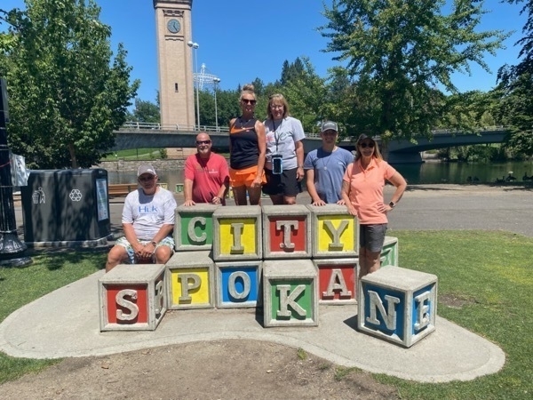
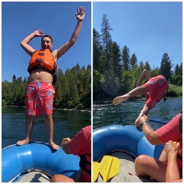
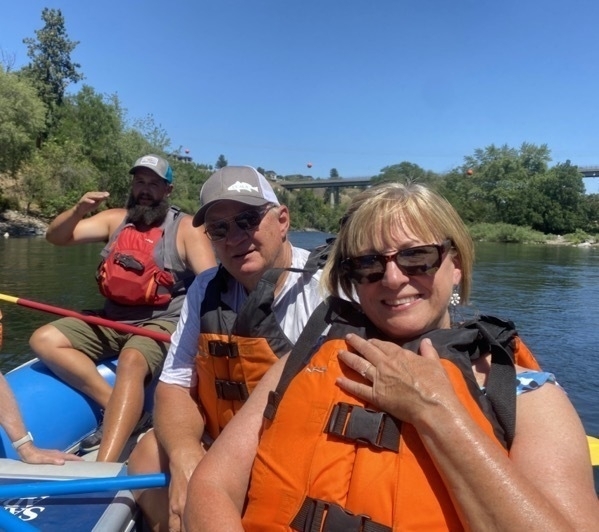
We drove from the campground to the Riverfront and took a picture on the blocks, ate lunch and then took a float trip down the Spokane River.
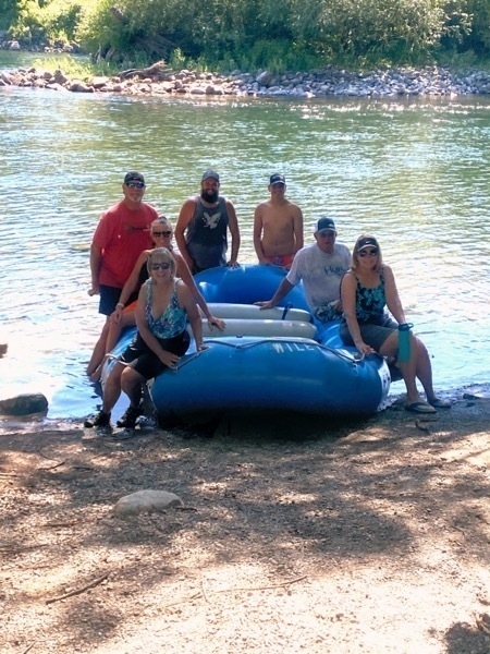
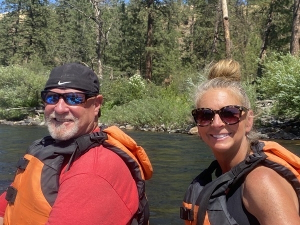
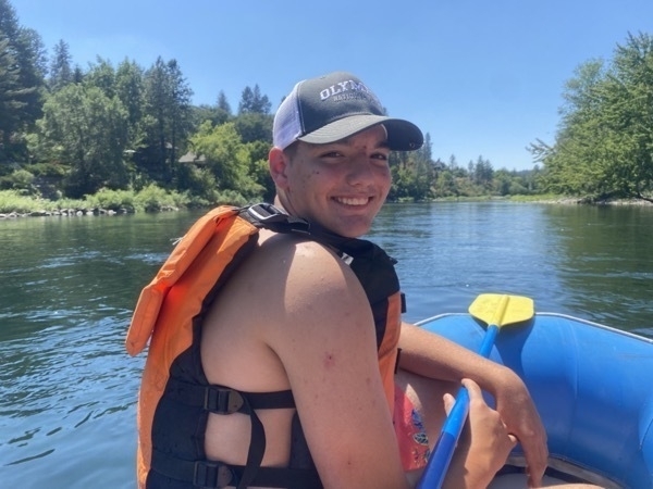
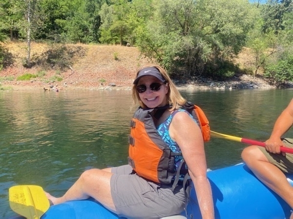
In the evening we played a game of 99 and one game of Navy Bridge.
Trip Statistics
- We didn’t drive any in the motorhome or our car today.
- We stayed at the Spokane KOA for $70.68 per night. Total campground cost is $1,726.83 or an average of $40.15 per night
- We’ve spent $2,294.15 on gasoline. The last fillup was $3.799 per gallon
-
Grand Coulee Dam -Spokane - Day 42
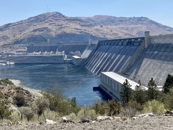
We stopped at the Grand Coulee Dam on our 185 mile drive from Carlston to Spokane. The Grand Coulee Dam is one of the largest concrete structures in the world. It is the largest hydropower producer in the United States, generating more than 21 billion Kilowatt-hours of electricity each year–enough power to supply 2.3 million households with electricity for one year! Power from the dam is supplied to eleven western states—Washington, Oregon, Montana, Wyoming, Colorado, California, Nevada, New Mexico, Utah, Arizona and also supply power to Canada.
It provides flood control and river regulation, water storage and delivery, power generation, recreation and fish and wildlife.
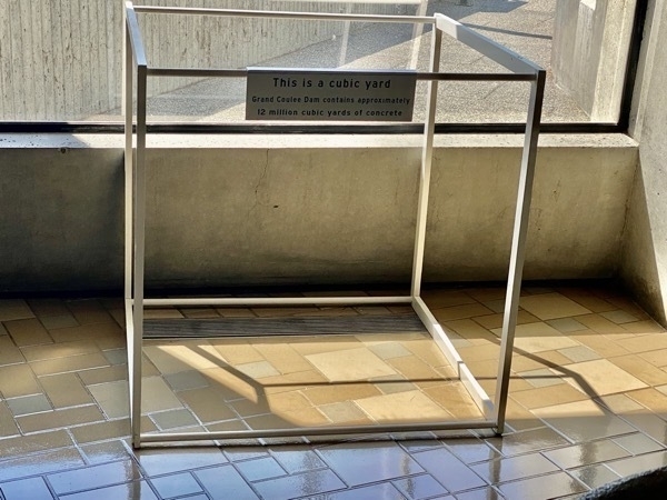
This is what a cubic yard looks like. The dam contains nearly 12 million cubic yards of concrete. According to the Bureau of Reclamation, “you could build a sidewalk four feet wide and four inches thick and wrap it twice around the equator (50,000 miles). You could build a highway from Seattle to Miami.”
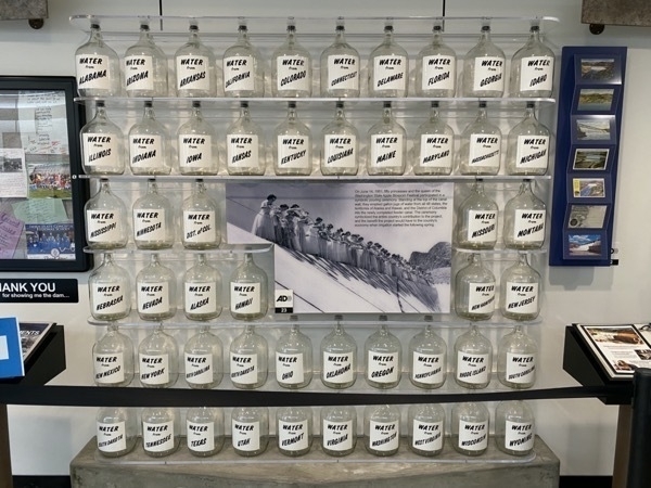
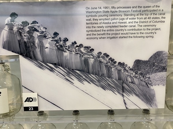
I took these pictures showing the gallon bottles of water from the 48 states that were dumped into the reservoir when the dam was opened. The next picture shows the “princesses” from each state that empty the bottles.
Spokane
When we arrived in Spokane, Tracey, Linda and I made a Walmart run because we were all running low on groceries and supplies. I washed our clothes at the campground laundry.
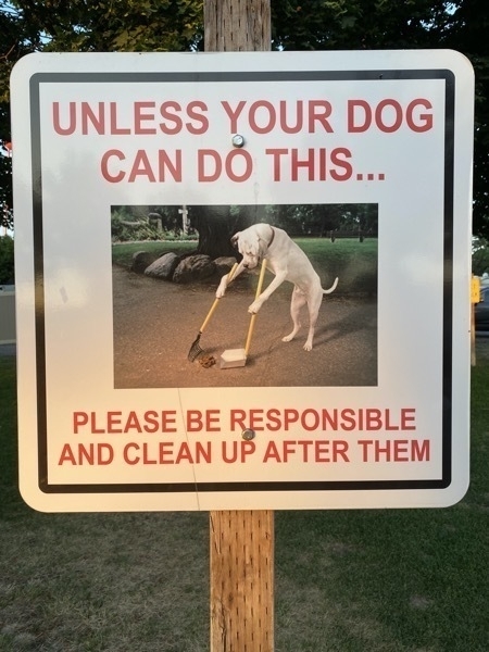
Cute sign we saw on our walk around the RV Park.
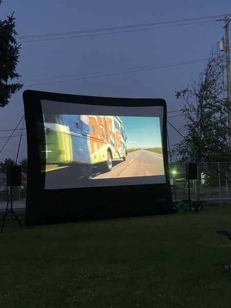
The campground showed the movie “RV” with Robin Williams that we watched on the campground’s big screen. What an appropriate movie for a group of campers in an RV! It was hilarious!!
Trip Statistics
- We drove 185 miles from Carlton to Spokane. Trip total is 4,401 miles
- We didn’t drive the CRV today. Touring total is still 1818 miles.
- We stayed at the Spokane KOA for $70.68 per night. Total campground cost is $1,656..15 or an average of $39.43 per night
- We’ve spent $2,294.15 on gasoline. The last fillup was $3.799 per gallon
-
North Cascades National Park to Carlton -Day 41
We drove back through North Cascades National Park on Route 20 (North Cascades Highway), but this time we drove all the way through the park. We stopped at the Washington Pass Overlook for lunch and were in awe of the magnificent views. We were also able to view the highway that we would be traveling once we left.
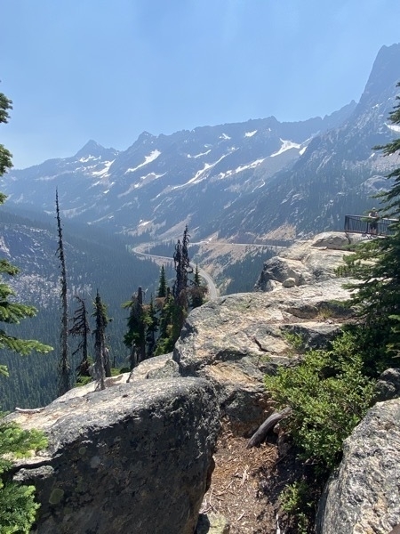
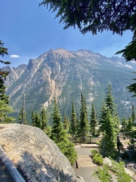
Carlton, Washinton
It was very hot when we arrived at the campground in Carlton and we soon realized the RV Park’s electricity was not enough to power our three rigs. We had trouble all evening with the power flashing on and off and our invertor was not picking up the slack. Since these reservations were made after we realized we could not go to Alaska (since the Canadian border is still closed) and it was July 4th, it was next to impossible to get a reservation for three big rigs. This was our choice.
The only thing to do to cool off from the heat was to head across the street to the river with our chairs and put our feet in the water. Half of the river had a very nice current and we watched kayakers pass us. We definitely weren’t the only people cooling off in the water!
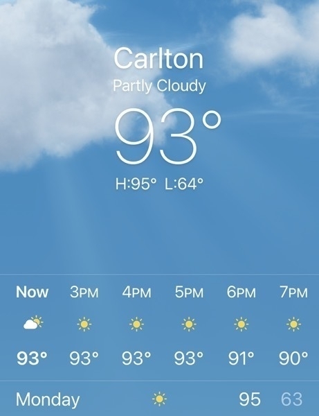
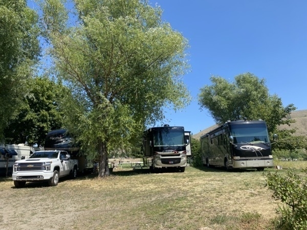
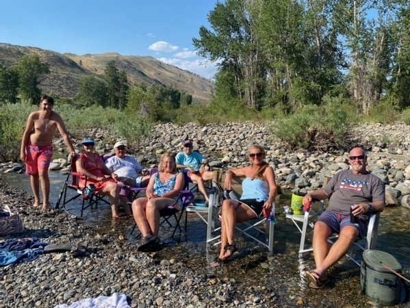
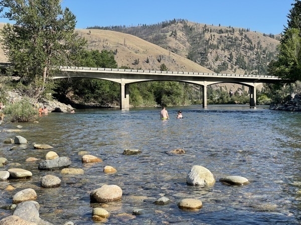
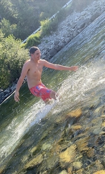
Since this was the 4th of July, we celebrated by grilling hamburgers and hot dogs outside on the campground's charcoal grill. After dinner the outside temperature dropped significantly and it was very comfortable sitting outside. We ended the evening with two games of Rummy Cue and a game of navy bridge.
Trip Statistics
- We drove 108 miles from Rockport to Carlton.. Trip total is 4,216 miles
- We didn’t drive the CRV today. Touring total is still 1818 miles
- We stayed at the Carlton RV Park for $40. Total campground cost is $1,590..47 or an average of $39.62 per night
- We’ve spent $2,218.06 on gasoline. The last fillup was $3.549 per gallon
-
North Cascades National Park - our 47th National Park
Day 40 of our summer road trip took us to North Cascades National Park. The park was established in 1968 and features the rugged mountain peaks of the North Cascades Range.
According to the National Park Service,, there are "over 300 glaciers and countless snowfields.The North Cascades National Park Service Complex is one of the snowiest places on earth and the most heavily glaciated area in the United States outside of Alaska "
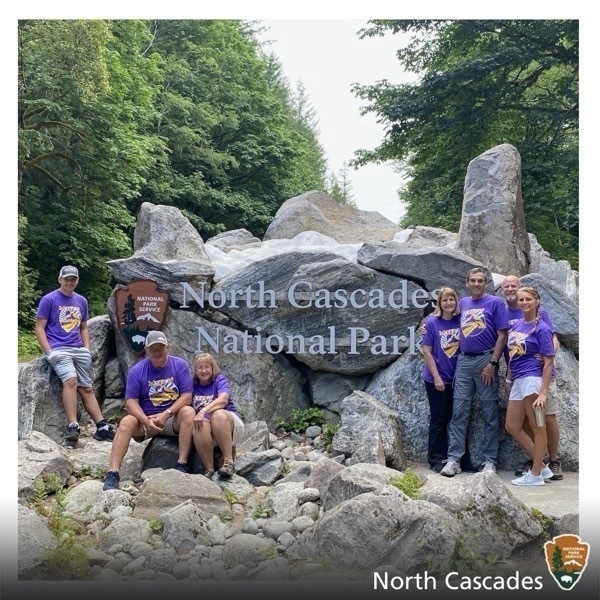
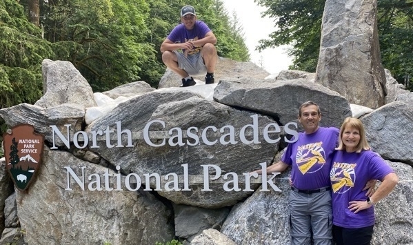
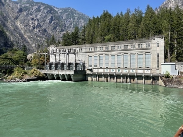
Our first stop after the national park sign was at the North Cascades Visitor’s Center where we picked up a park map so we could plan our day. We drove to Gorge Dam and walked around the area and took pictures.
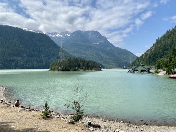
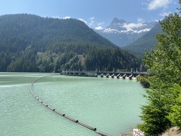
We stopped again at Diablo Lake Overlook where we took more pictures and ate lunch.
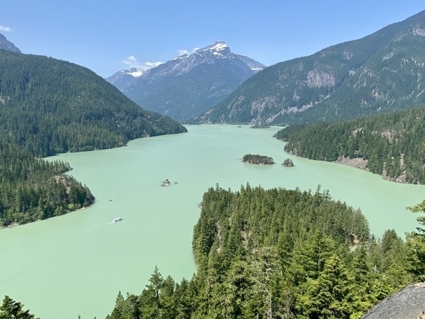
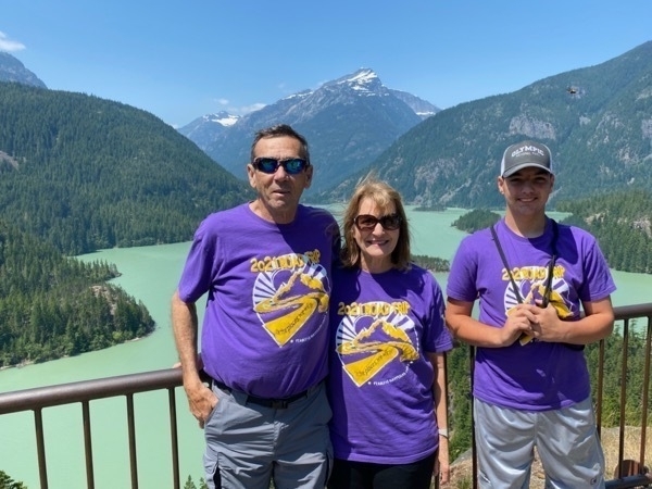
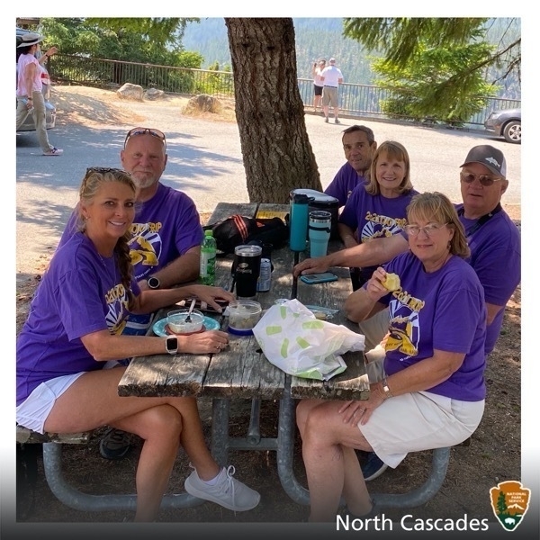
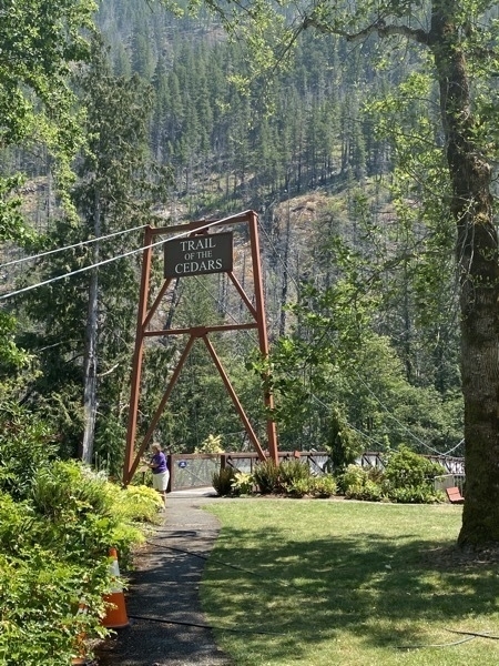
On the way out of the park we stopped at Newhalen where we hiked The Trail of the Cedars which runs along the Skagit River.
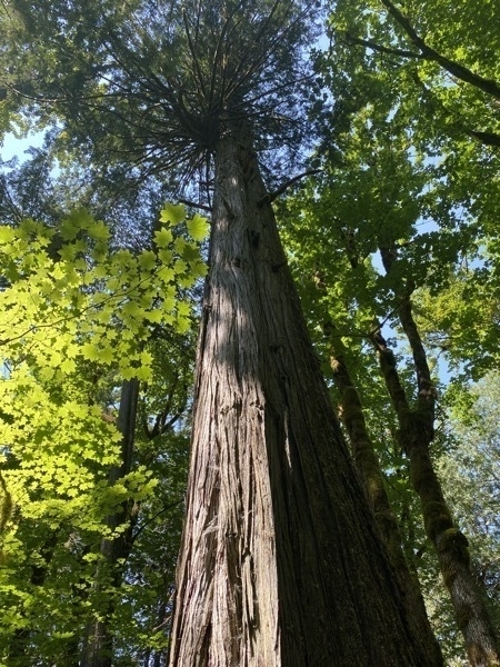
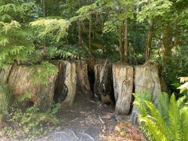
These trees had to be felled because children were playing inside the hollow part with candles and set the trees on fire. The arrangement of the three trees formed a natural chimney and the fire flared upward. The trees were too tall for the fire hoses to be effective, so they had to be cut down to extinguish the fire. This incident happened in 1967.
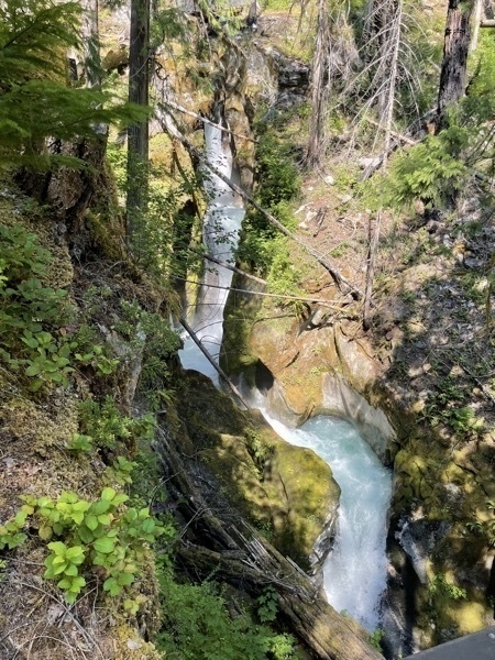
Ladder Creek Falls
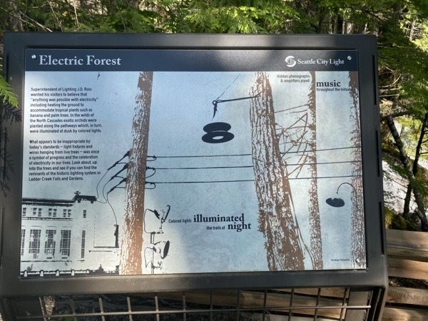
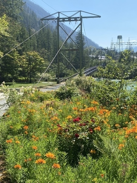
When the hydroelectric project near Ross Lake was under construction during the 1930s and '40s, owner and developer J.D. Ross built a trail to nearby Ladder Creek Falls to showcase the area.
According to the sign below" Ross wanted his visitors to believe that “anything was possible with electricity” including heating the ground to accommodate tropical plants such as banana and palm trees. In the wilds of the North Cascades exotic orchids were planted along the pathways which, in turn, were illuminated at dusk by colored lights."
Nightly between dusk and midnight there is a 15 minute repeating show of lights on the waterfall.
Trip Statistics
- We drove 64 miles from Lake Ki (outside of Seattle) to Rockport.. Trip total is 4,108 miles
- Miles driven in CRV 75; Touring total is 1818 miles
- We stayed at the Glacier Peak RV Resort for $43 per night. Total campground cost is $1,545.47 or an average of $39.62 per night
- We’ve spent $2,218.06 on gasoline. The last fillup was $3.549 per gallon
-
Seattle - Boeing's Future of Flight- Day 38
Today we had to change campgrounds because the one we stayed in for the last two nights did not have availability for the third night. We moved 37 miles up the road to one called Lake Ki Resort. On the way we were able to stop at Boeing’s Flight of the Future exhibition and spent several hours enjoying interactive activities.
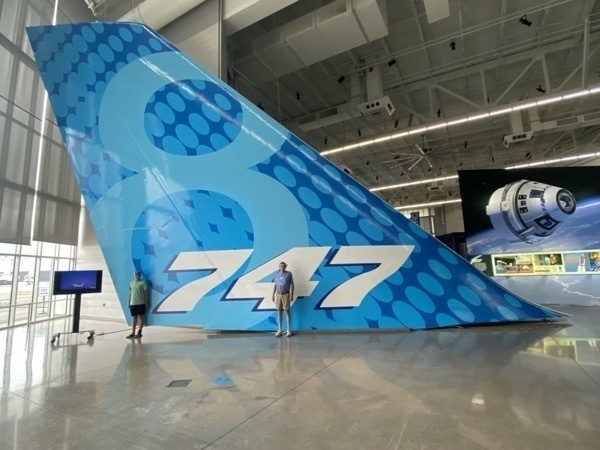
Look how tiny Ben and Tom are in front of this 747 tail!
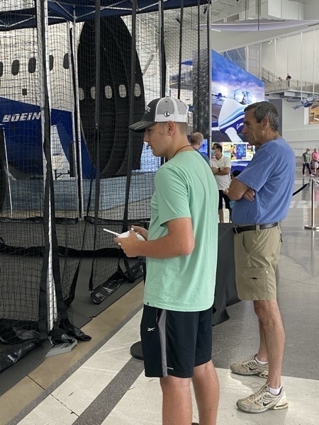
Ben was able to fly a small high speed miniature quad-copters inside an indoor drone cage and did a pretty good job.
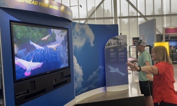
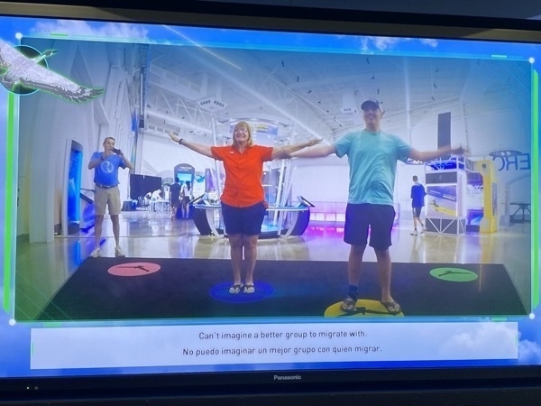
This was a simulation video of flying like birds. We were following the birds flying on the screen.
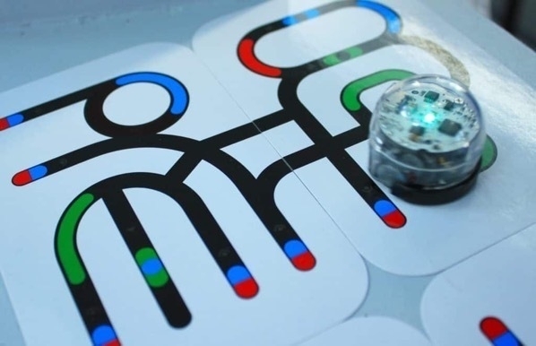
An exhibit that both Ben and I enjoyed (but I forgot to take pictures) was where we used black, green, blue and red markers and drew a path and used a code sheet to write simple codes to make the little EVO robot follow our directions. This picture is from the internet and shows pre-made paths. Each one of the color changes is an instruction for the robot.
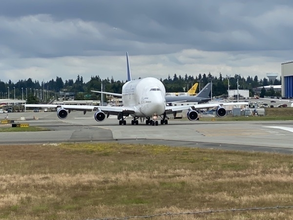
We also watched the Boeing 787 Dream Lifter take off. It is a huge cargo plane that is used primarily for transporting Boeing 787 Dreamliner aircraft components to Boeing’s assembly plants from suppliers around the world.
Trip Statistics
- We drove 37 miles from Bothell (outside of Seattle) to new campground in Bothell (outside of Seattle). Trip total in motorhome is 4044 miles
- Miles driven in CRV 19; Touring total is 1743 miles
- We stayed at the Lake Ki for $55.50 per night. Total campground cost is $1,459 or an average of $38.39 per night
- Groceries and eating out total $984.38 or an average of $26.30 per day $25.91per day
- Tourist Admissions: 363.59
-
Seattle--Chihuly Gardens, Space Needle and More! Days 36 & 37
Chihuly Gardens was our first stop in Seattle. We saw room size glass sculptures that were absolutely breathtaking!! We watched a series of films where Chihuly talked about how different types of his sculptures were created. In Italy where several of his large creations are displayed, he would have his glass blowers create the pieces. To transport the pieces to the place of assembly, he would toss each piece in the river so it could float downstream where it would be retrieved.
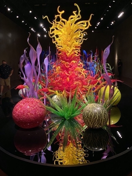
This glass creation takes up an entire room.
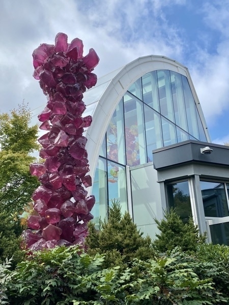

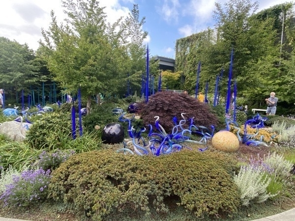
Each of these displays were at least 10’ long!
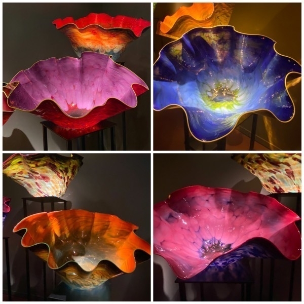
Each of these Macchias were at least two feet across at the top. I saw one for sale on the internet for $18,900!
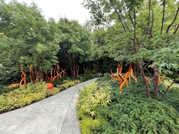
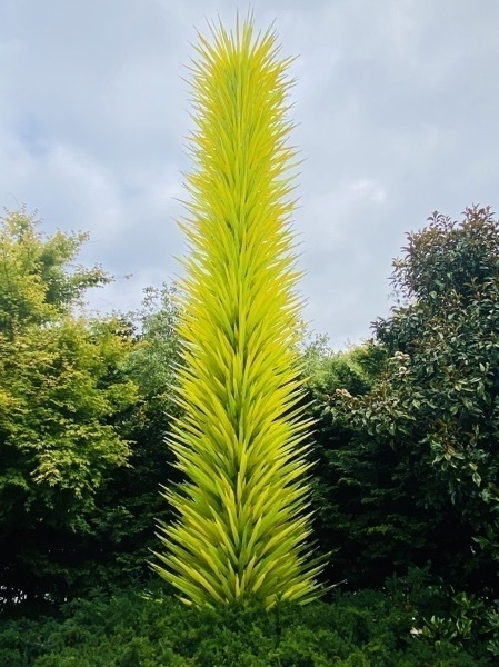
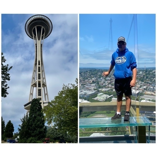
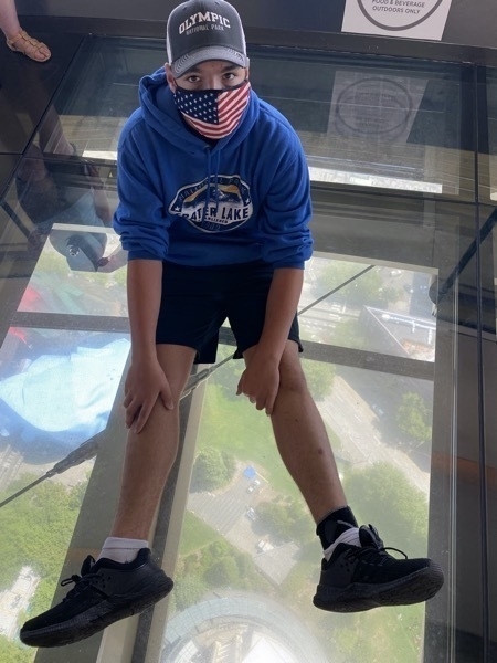
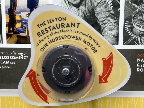
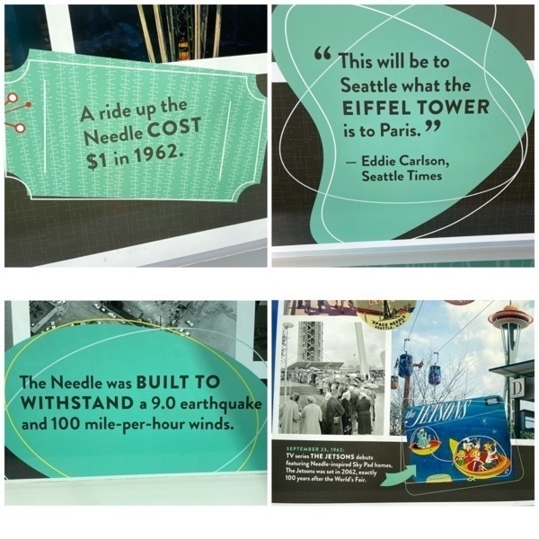
The Space Needle was right beside the gardens, and no visit to Seattle would be complete without taking Ben up in the Space Needle.
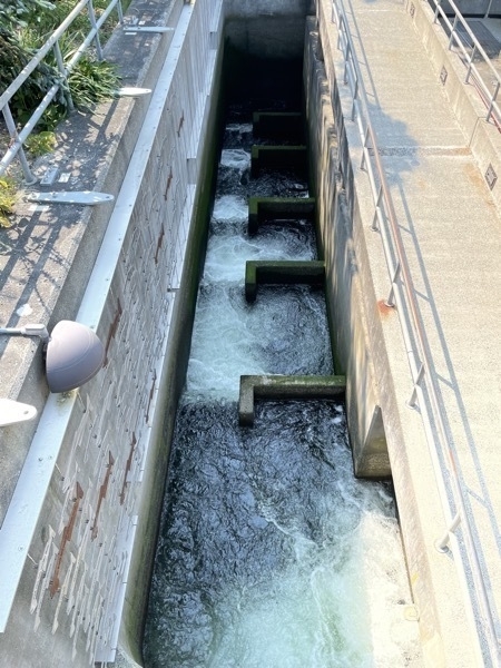
Our last stop for the day was the Lake Washington Fish ladder and The Hiram M. Chittenden Locks. We watched the salmon swimming up the fish ladder and also saw a very smart seal catch one and eat it. Several boats went through the locks while we were there also.
Trip Statistics
- We drove 48 miles from Kelso to our campground in Bothell (outside of Seattle). Trip total in motorhome is 4,007 miles
- Miles driven in CRV 68; Touring total is 1724 miles
- We stayed at the Lake Pleasant RV Park for $57.41 per night. Total campground cost is $1403.97 or an average of $37.95 per night
- Groceries and eating out total $943.13 or an average of $26.30 per day $25.49 per day
- Tourist Admissions: 363.59
-
Mt. Rainier National Park - Day 35
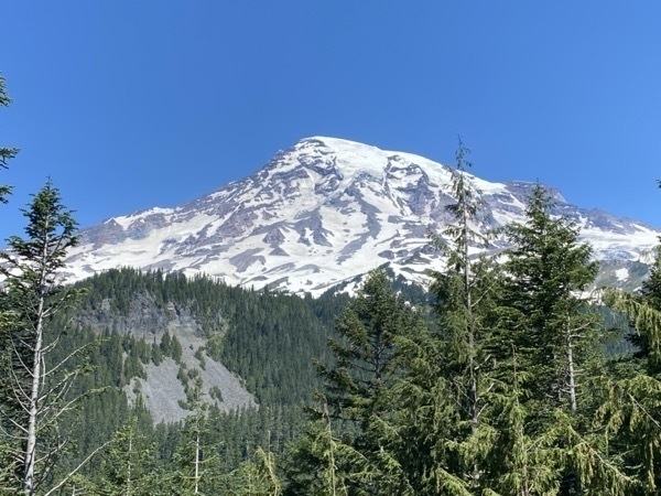
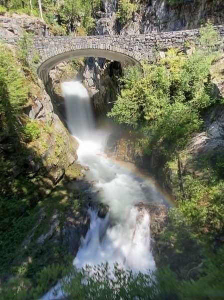
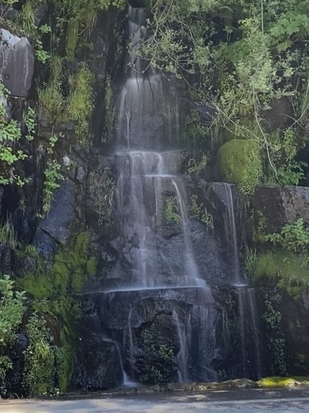
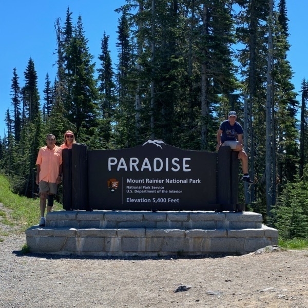
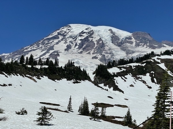
This is our second day at the Washington State Fairgrounds. We drove to the Paradise area of Mt. Rainier National Park and stopped at every viewpoint and overlook along the way. Because the extreme heat wave in the NW the snow was melting quickly and the waterfalls along the way were beautiful and flowing very forcefully.
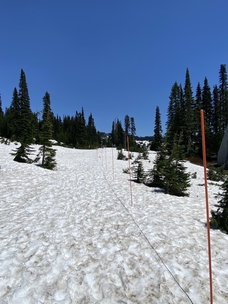
The starting point of The Golden Gate Trail
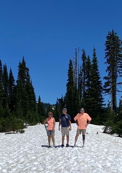
It was 84 degrees and we hiked 1 mile in the snow, clearly with the wrong type of shoes. I fell three times trying to keep my balance as I walked.
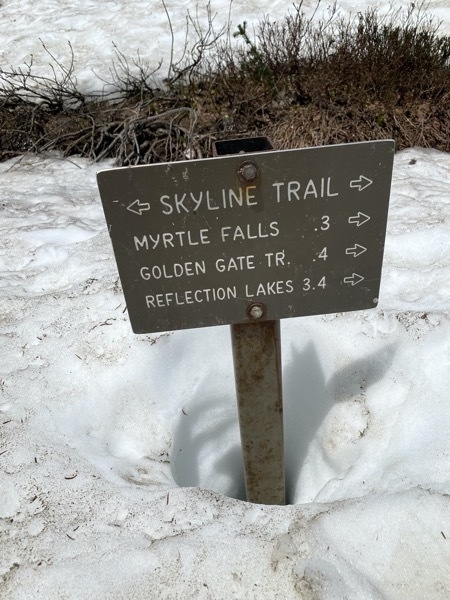
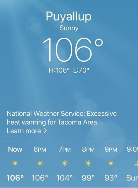
It was 106 when we got back to the campground! By the time we arrived at the campground, we had driven 140 miles .
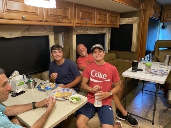
Linda cooked dinner for all of us and made a buttermilk pie for dessert especially for Drew since he was flying home tomorrow.
-
Tacoma - Museum of Glass and LeMay's America's Car Museum - Days 35
We arrived at the Washington State Fairgrounds around noon from Poulsbo, parked the motorhome and headed to Tacoma to visit the LeMay-America’s Museum of Cars and the Museum of Glass.
Museum of Glass
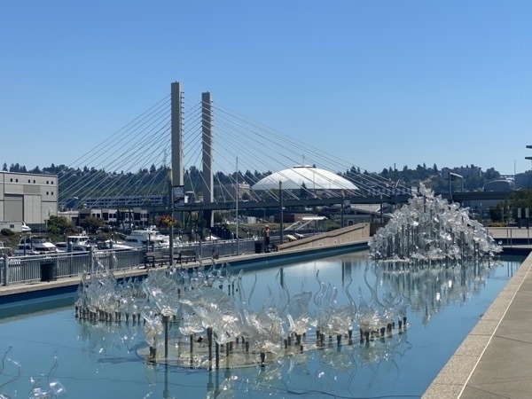
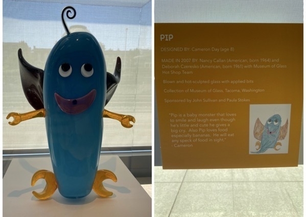
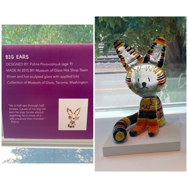
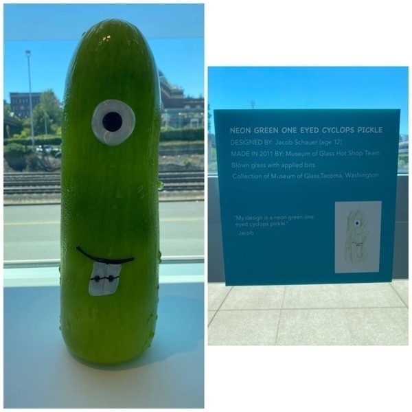
Each month kids age 12 and under submit designs for the Museum’s Hot Shop Team to review. One chosen to create in glass, to the child-designer’s exact specifications. Here are a few of the winning displays and information about the child who created them:
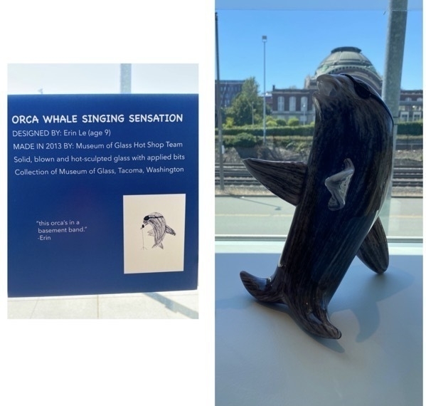
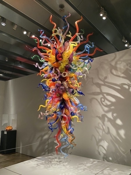
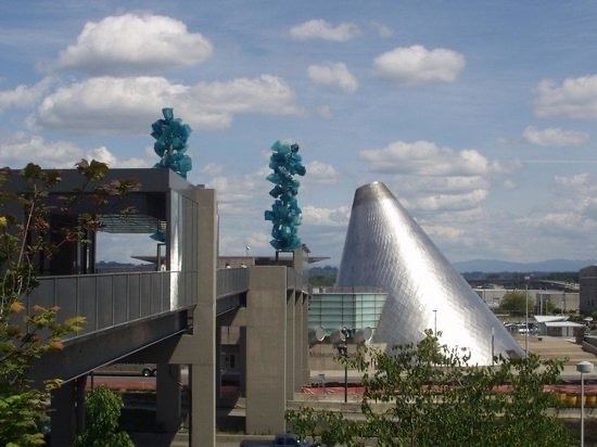
This beautiful Chihuly creation was on display.
We watched a live demonstration of glass blowing and then walked around the museum. We enjoyed the exhibit, but the most amazing part was the Chihuly glass display that was on the OUTSIDE and free.
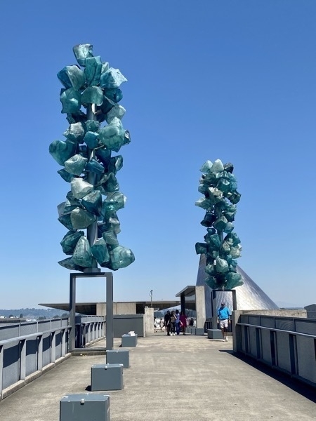
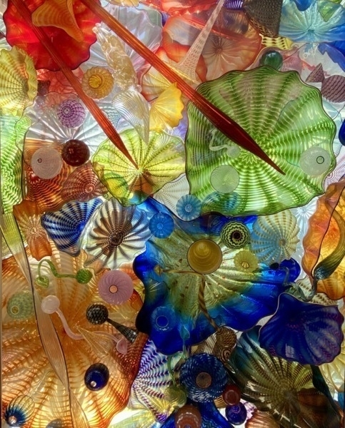
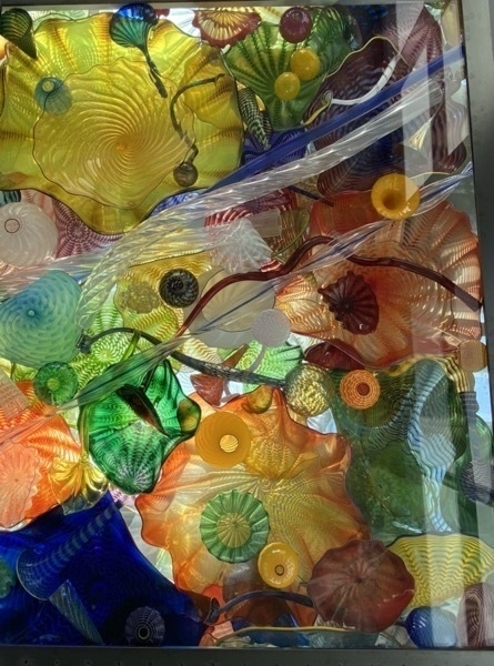
This is a closeup of part of the roof that you can see in the next picture. Tracey took the two pictures below where you can get a better look at the whole building.
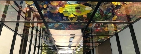
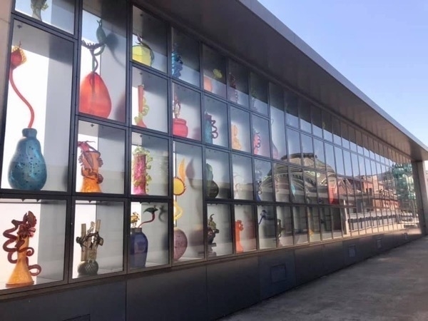
These glass Chihuly creations line the walls on both sides.
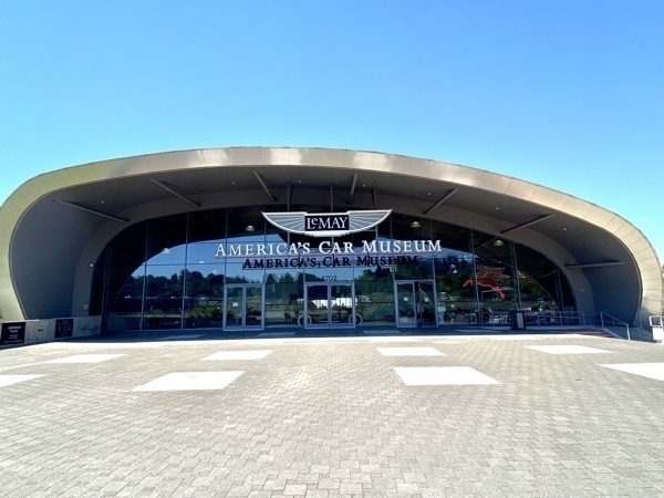
LeMay- America’s Car Museum
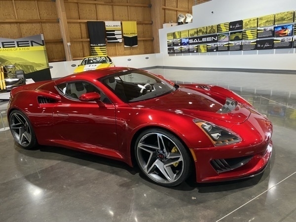
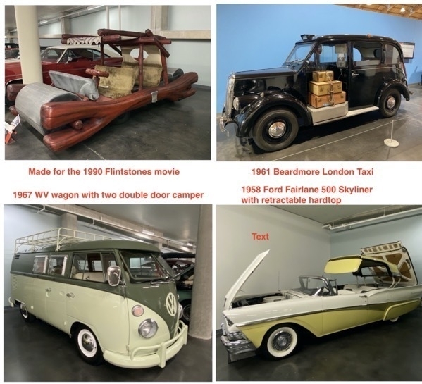
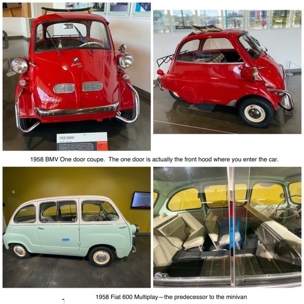
Harold Lemay owned the single largest private car collection in the world. Although the museum contains over 300 cars, the majority of the LeMay’s collection remains at the LeMay Family Collection at Marymount in nearby Spanaway.
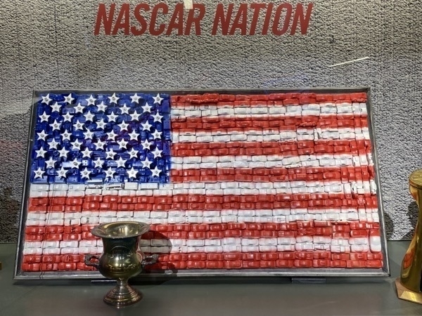
Made with Hot Wheels cars and trucks
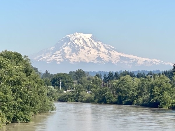
On our ride back to the campground I took this picture of Mt. Rainier. It looms over the landscape and on a clear day can be seen as far away as Corvallis, Oregon and Victoria, British Columbia—that’s up to 300 miles away! Tomorrow we are driving there.
Trip Statistics
- We drove 99 miles from Poulsbo to Kelso. Trip total is 4,162 miles
- Miles driven in CRV 40; Touring total is 1,514 miles
- We stayed at the Washington State Fairgrounds for $35 per night. Total campground cost is $1,289.15 or an average of $37.92 per night
- Groceries and eating out total $884.25 or an average of $26.30 per day
-
Kelso, WA and Mt. St. Helens-Days 32 & 33
On Friday we drove 108 miles from Poulsbo to our next stop in Kelso, the launching point for touring Mt. St. Helens National Volcanic Monument .
Interesting Facts about Mt. St. Helens from the U.S. Geological Survey:
- March 20, 1980—A magnitude 4.2 earthquake signaled the reawakening of the volcano after 123 years.
- Spring 1980—Rising magma pushed the volcano’s north flank outward 5 feet per day.
- Morning of May 18, 1980— The largest terrestrial landslide in recorded history reduced the summit by 1,300 feet and triggered a lateral blast.
- Within 3 minutes, the lateral blast, traveling at more than 300 miles per hour, blew down and scorched 230 square miles of forest.
- Within 15 minutes, a vertical plume of volcanic ash rose over 80,000 feet.
- Afternoon of May 18, 1980—The dense ash cloud turned daylight into darkness in eastern Washington, causing streetlights to turn on in Yakima and Ritzville.
- The volcanic ash cloud drifted east across the United States in 3 days and encircled Earth in 15 days.
- 14—Lahars (volcanic mudflows) filled rivers with rocks, sand, and mud, damaging 27 bridges and 200 homes and forcing 31 ships to remain in ports upstream.
- 15—The May 18, 1980 eruption was the most economically destructive volcanic event in U.S. history.
- 16—Small plants and trees beneath winter snow, and roots protected by soil, survived the May 18, 1980 eruption and now thrive.
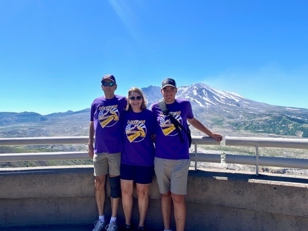
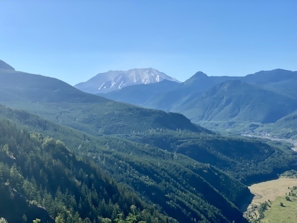
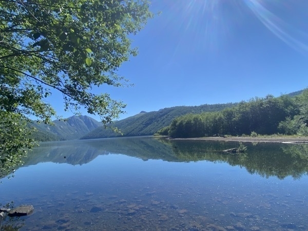
Coldwater Lake, one of four lakes created by the eruption of Mt. St. Helens
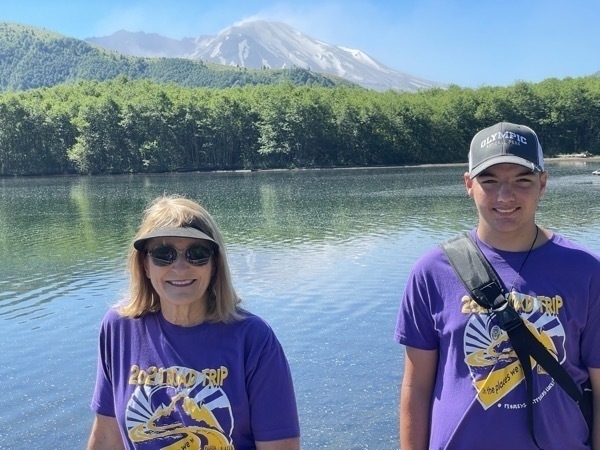
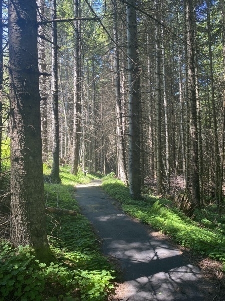
A short hike on the trail by the visitor’s center
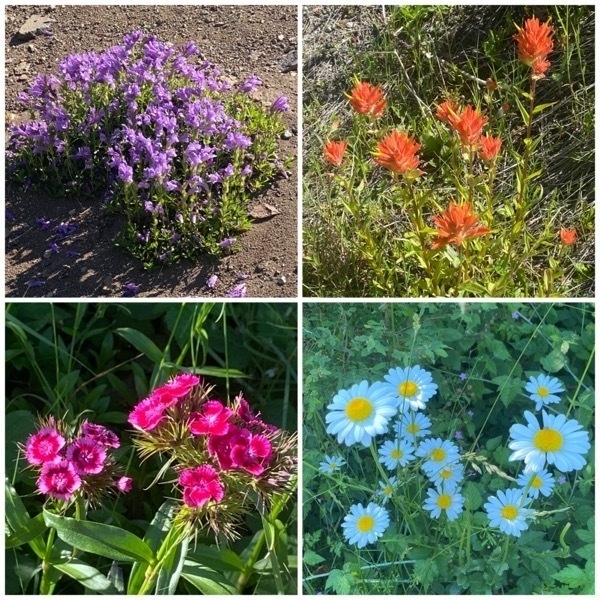
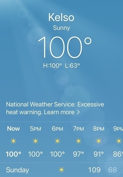
It was HOT today. We took jackets thinking it would be cooler up near Mt. Saint Helens, but it was hot there too!
Trip Statistics
- We drove 108 miles from Poulsbo to Kelso. Trip total is 4,063 miles
- Miles driven in CRV 215; Touring total is 1,514miles
- We stayed at the Brookhollow RV for $51.56 for per night. Total campground cost is $1,289.15 or an average of $37.92 per night
- Groceries and eating out total $815.16 or an average of $26.30 per day
-
Poulsbo, Washington - Day 31
We drove 122 miles from Forks across the top of Washington and Olympic National Park and stopped for the night in Poulsbo. Although the way we stopped to take some photos at the beautiful Lake Crescent and then continued on our way.
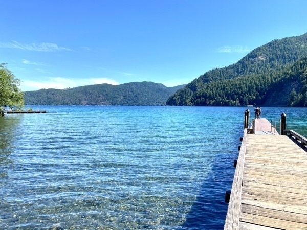
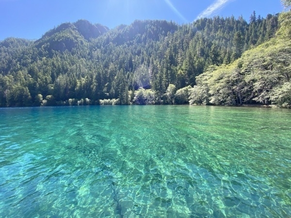
Lake Crescent has depths up to 624 feet and is filled with magnificent clear blue water.
According to the National Park service brochure, the lake’s waters have very little nitrogen. This limits the growth of phytoplankton, tiny plants (like algae) that float in lake waters. Without them, the water stays clear. In some places you might see as far down as 60 feet. Clarity and reflecting light give Lake Crescent its stunning blue-green color. Its protected waters are home to fish like the Beardslee and Crescenti trout, two types of fish found nowhere else in the world.
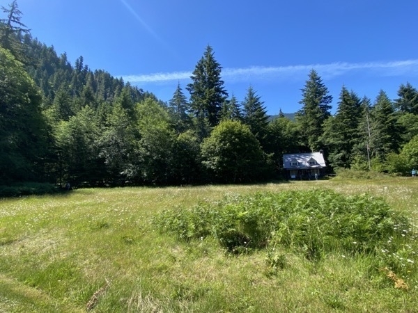
Park Ranger Office at Lake Crescent
Poulsbo, WA
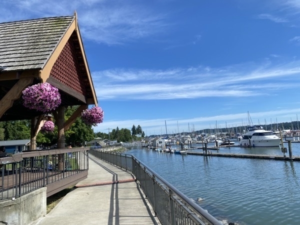
The town has a population of just under 11,000 and is located on Liberty Bay on the Kitsap Peninsula and is known as “Little Norway” because of the Scandinavian influences of its settlers. The town as three marinas and is known for its Poulsbo Bread.
The bread was created by Marion Sluys, the owner of Sluys’ Bakery in Poulsbo, from a biblical recipe in Ezekiel 4:9 which read, “Take thou also unto thee wheat, and barley, and beans, and lentiles, and millet, and fitches, and put them in one vessel…”
According to Sluys’ Bakery, the bread was licensed to Franz Family Bakeries in the early 1980s for national and international distribution, with the license terms requiring Ezekiel 4:9 be imprinted on all packaging. I would assume the Ezekiel Bread that is now in the stores across the US also got it’s roots from that recipe.
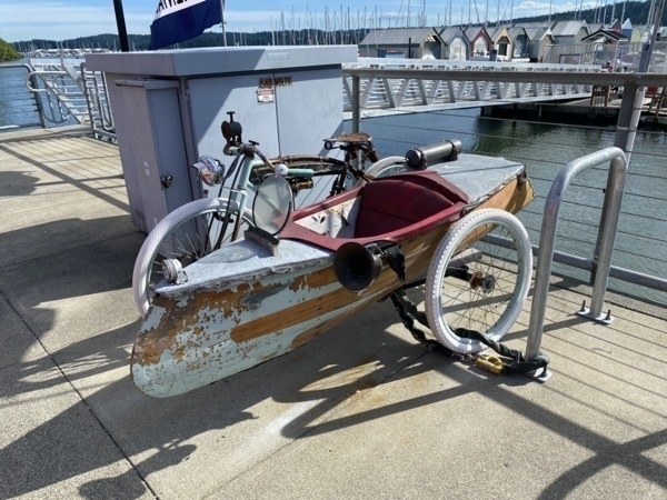
An interesting bicycle for two
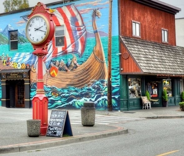
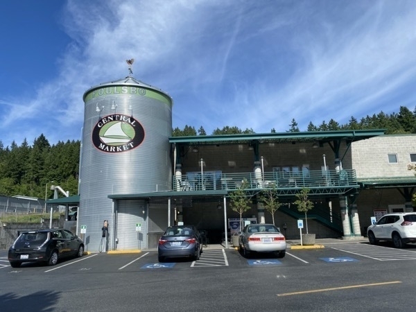
This town has many unique art shops and bakeries. After walking the marino area and shops, we went to the number 1 place to visit, according to Trip Advisor, Central Market not realizing it’s just like a grocery store like Whole Foods. Definitely not a top attraction by anyone’s description!
Trip Statistics
- We drove 122 miles from Forks to Poulsbo Trip total is 3,719 miles
- Miles driven in CRV 19; Touring total is 1299 miles
- We stayed at the Cedar Glen RV Park for $54.95 for per night. Total campground cost is $1,116 or an average of $36 per night
- Groceries and eating out total $815.16 or an average of $26.30 per day
-
Forks, Washington and Olympic National Park - Days 29 & 30
Forks, Washington
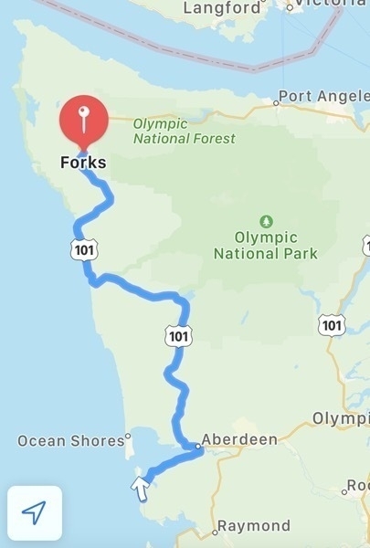
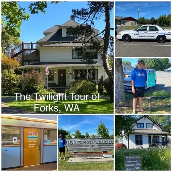
Forks, WA is a town with a population of about 3,500 made famous to the rest of us through Stephenie Meyer’s book Twilight and the books that followed. Forks is located in the heart of the Olympic Peninsula between the mountains and the Pacific Ocean. We drove 130 miles to get here from Grayland, WA.
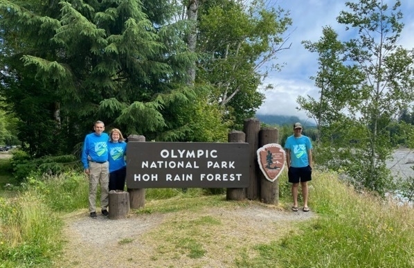
Olympic National Park
Wednesday we tried to drive to the HOH Rain Forest Visitor Center, 41 miles from our campground, and hike the Hall of Mosses Trail. However, as we were waiting in a LONG line to get near the Visitor Center, we realized the line was not really moving. The only movement came when someone in line in front of us gave up and turned around. We were told that the parking was limited so they were letting one car go in as one car exited. After waiting in line for 30 minutes, we finally gave up and turned around ourselves.
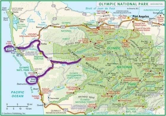
The outline in purple were the routes we drove today.
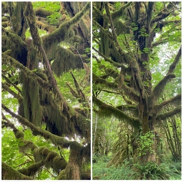
The moss is green and thick on the trees unlike the grey moss we see in Louisiana hanging from the trees.
Ruby Beach
We drove 30 miles south on Hwy 101 to Ruby Beach.
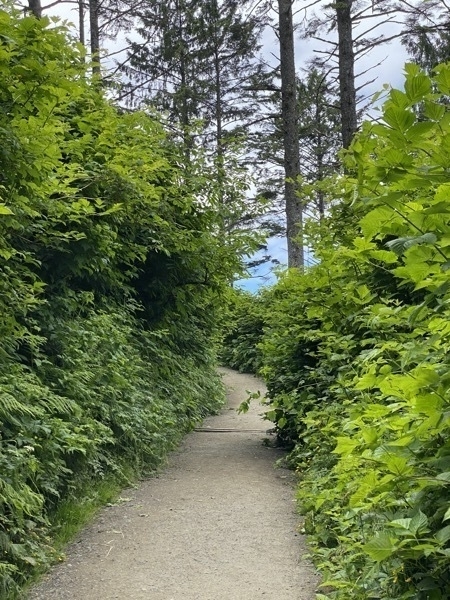
We walked down this path lined with bushes to get to the beach.
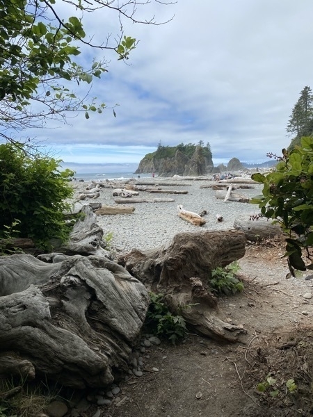
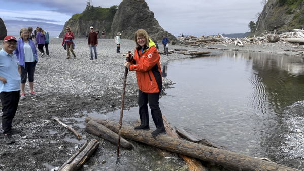
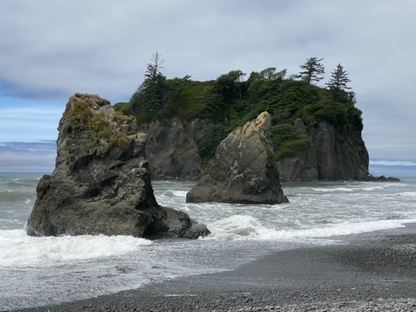
Tom walked all the way out to that last rock in the water
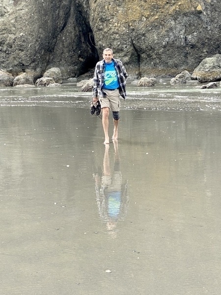
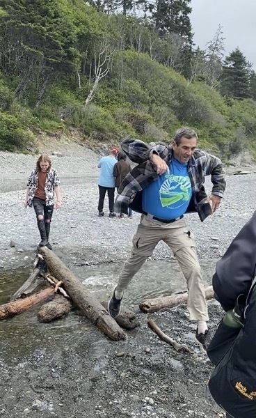
What walks over must way back…
Seeing the Twilight Places in Forks
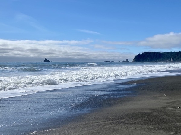
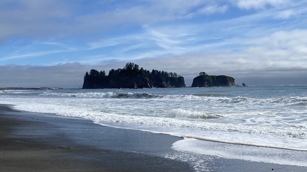
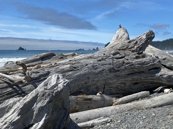
Rialto Beach
The beach was very similar to Ruby Beach, but the parking lot was completely full, so Tom let me out to take these pictures and we headed back to the campground.
F
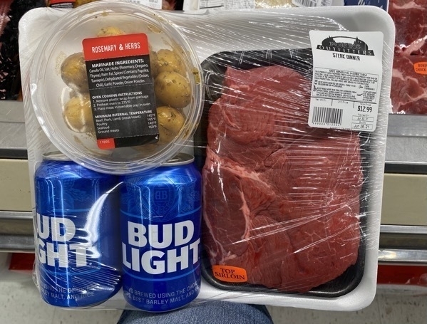
In the evening I went to the grocery store and saw this :
Trip Statistics
- We drove 133 miles to Forks Trip total is 3,597 miles
- Miles driven in CRV 146; Touring total is 1,280 miles
- We stayed at the 101 Forks for $50 for per night. Total campground cost is $1,116 or an average of $36 per night
- Groceries and eating out total $726.71 or $24.22 per day
-
Pacific Coast Highway and Grayland - Days 27 & 28
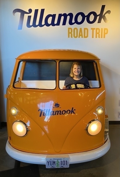
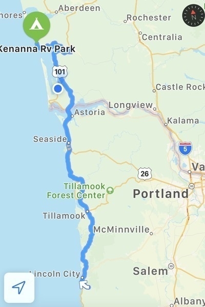
We left Lincoln City, Oregon and travelled along the Pacific Coast Highway 101, made a quick stop at the Tillamook Cheese Factory (along with hundreds of others) to purchase some cheese and ice cream, and arrived in Grayland, WA in the late afternoon.
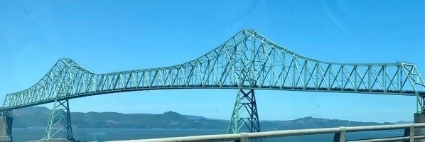
Opened 55 years ago in 1966, the Astoria-Megler Bridge it is the longest continuous truss bridge in North America at just over 4 miles in length.
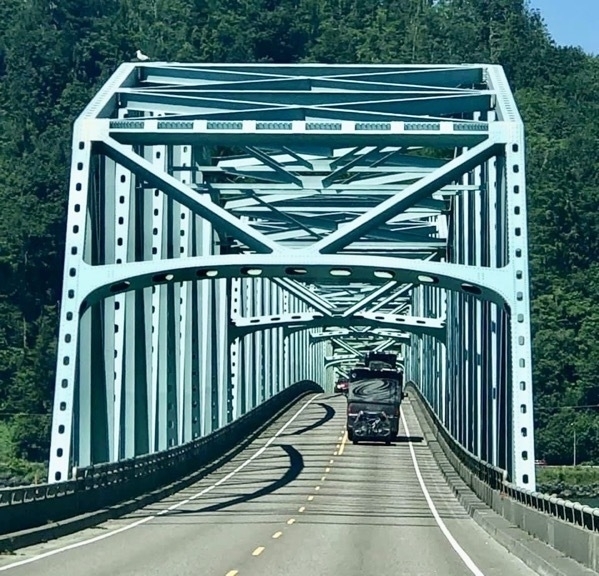
Tracey took this picture of us crossing over the Columbia River on the Astoria-Megler Bridge.
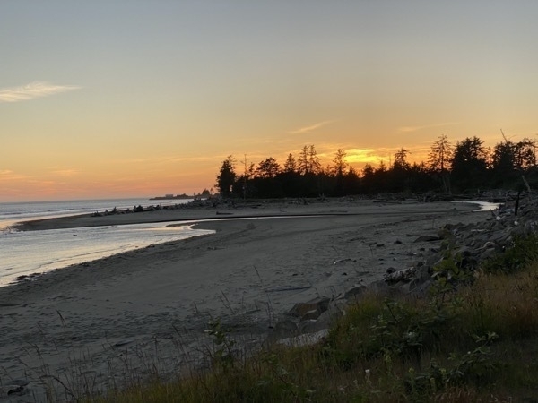
Grayland was on the Pacific Ocean and we visited two beaches while there. The beach picture below looked like the lunar surface to us.
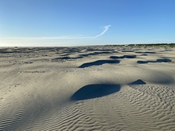
There were cars driving on this beach, but not us…
We enjoyed a wonderful Father’s Day dinner at the Wheelhouse Restaurant in Grayland. We couldn’t have asked for a more delicious meal or better service! Somehow we managed not to get a picture of all of us sitting around the table enjoying our meal or of the beautifully prepared and served dinners.
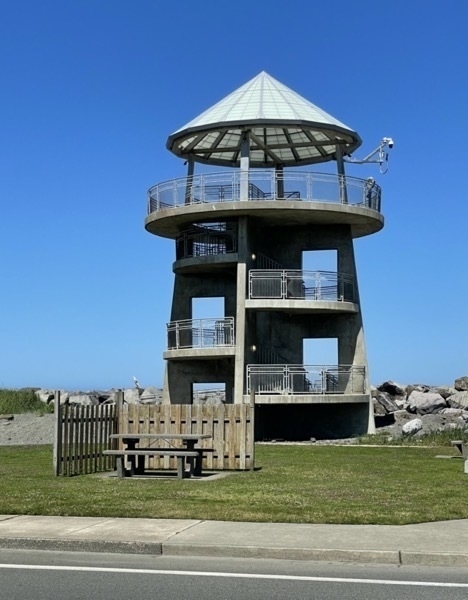
Monday morning we drove into Westport, a quaint little beach town about 12 miles from where we were staying, and walked to the top of the watchtower, along the beach and through most of the shoppes. It is billed as the Pacific Northwest’s #1 surfing destination and a working marina with fishing and charter boats coming and going. The town boasts that people come from “all over the globe to experience world class fishing and surfing.”
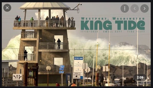
When reading about the town, I found a video of this king tide that occurred November 13, 2020 when the tide was 11 feet and the swell was up to 22 feet. AmazIng!
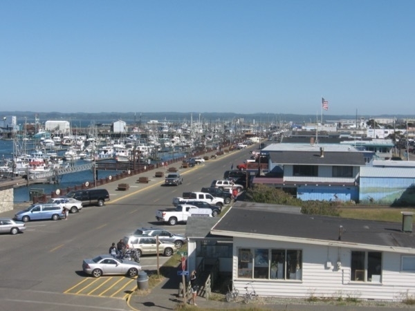
The Stores of Westport looking from observation tower
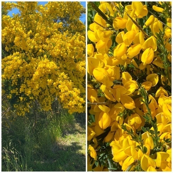
On our drive, we saw these Scotch broom yellow bushes everywhere. Although they are pretty to see along the roadway, their prolific growth inhibits reforestation after timber harvest by competing with seedling trees. They are native to Europe and considered a “noxious weed” in Oregon and Washington.
Trip Statistics
- We drove 184 miles to Grayland; Trip total is 3,464 miles
- Miles driven in CRV 84; Touring total is 1,134 miles
- We stayed at the Kenanna RV Park for $39.50 per night. Total campground cost is $961 or an average of $34.32 per night
- Groceries and eating out total $699.67 or 24.98 per day
-
Lincoln City, Oregon - Days 26 & 27
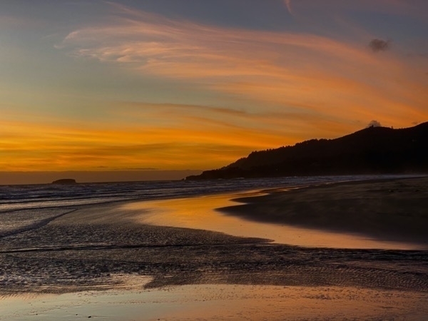
The drive to Lincoln City from Crater Lake RV Park was a long 300 miles drive and took us most of the day. Once we arrived at the Chinook Bend Rv Park, it was time to cook dinner. After dinner I took the boys down to the beach to see the sunset.
Finders Keepers
Lincoln City, Oregon has a program of random acts of kindness. Local artists make over 3,000 hand blown glass floats. These are hidden along the seven mile strip of beautiful sandy beach. If you find a float, it’s all yours.
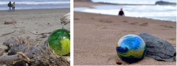
Examples of glass floats from the city’s website
Basic rules of the hunt
- Floast can be found above the high tide line and below the beach embankment.
- Floats are places on the beach during daylight hours only
- Floats are hidden through the day, not just a one time.
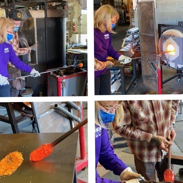
This morning I took Ben and Drew to the beach to look for a float. They walked the beach for almost three hours looking for one of these treasures, but had no luck. In the meantime I went to a store where they are made to buy one as a souvenir. Instead of buying one I discovered I could make my own! So, at 5:30 I went to Lincoln City Glass Company where I (and the craftsman who helped me, created by very own float. It’s cooling off for the night so I get to pick it up at 10:00 on our way out of town in the morning.
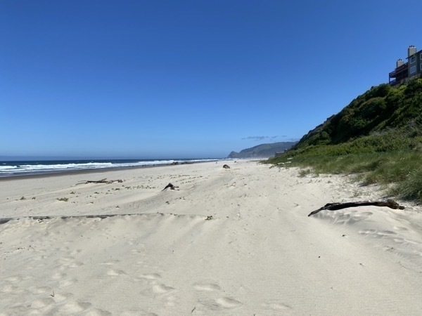
Hike to Drift Creek Falls
We hiked 3 miles roundtrip to see the falls and cross a suspension bridge. Since the temperature was only 51degrees, it was a very comfortable day for a hike.
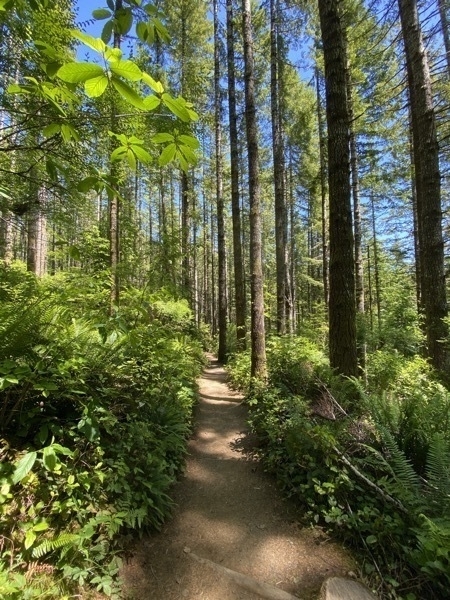
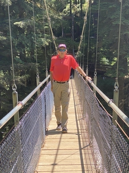
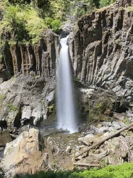
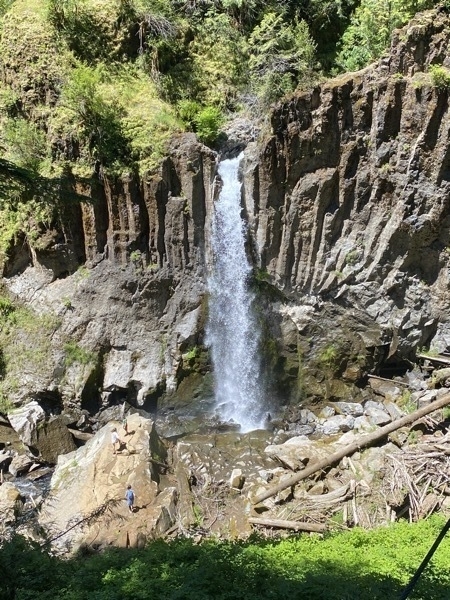
Look at the person on the rocks below the falls to get a prospective on the height of these falls!
Back to the Beach
Tom, Ben, Drew and I drove back to the beach to take a walk and kill some time before my 5:30 appointment to make my float. The wind was very strong on the beach. Tom and I walked a mile while Ben and Drew ran. Then, they decided they wanted to go IN the Pacific. The water temperature was chilly 58 degrees, so their dip up to their waist was a quick one.
Making my glass float
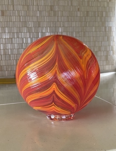
My finished glass float
Trip Statistics:
- Miles driven in motorhome - 3267; Miles driven in car - 944. Total for both - 4449. Average per day is 165.
- Gas was $3.339 per gallon and we’ve spent a total of $1,674.85. That’s an average of $64.42 per day
- Groceries and eating out - $589 or $21.81 per day
- We stayed at Chinook Bend RV Park $36.16 per night. Campground total is $882.07 or $40 per night
-
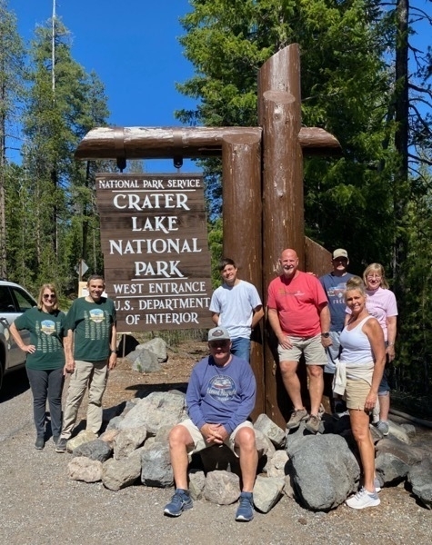
Crater Lake National Park - Our 46th National Park
Crater Lake
Days 23 & 24 of our road trip were spent in the Crater Lake National Park area. From the Crater Lake RV Campground, we drove 34 miles to the south entrance of the park. From there, we drove up to the lake and stopped at most of the overlooks as we progressed around the lake. Part of the road was still closed because of snow so we could not drive all the way around.
Facts about Crater Lake from the Forest Service:
- Crater Lake is 1,943 feet deep. It is the deepest lake in the United States and the deepest volcanic lake in the world.
- The lake level doesn’t change much because it experiences twice as much precipitation as evaporation, but the caldera doesn’t fill up because water seeps out through a porous rock layer along the north shore.
- The water comes from rain and snow. No rivers feed into the lake.
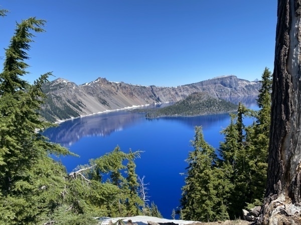
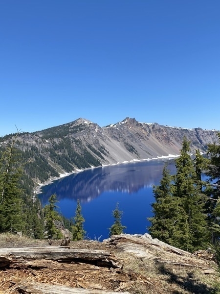
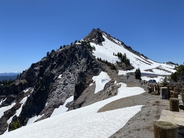
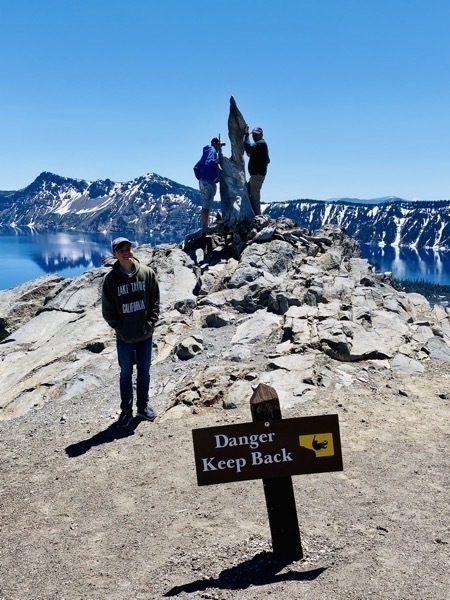
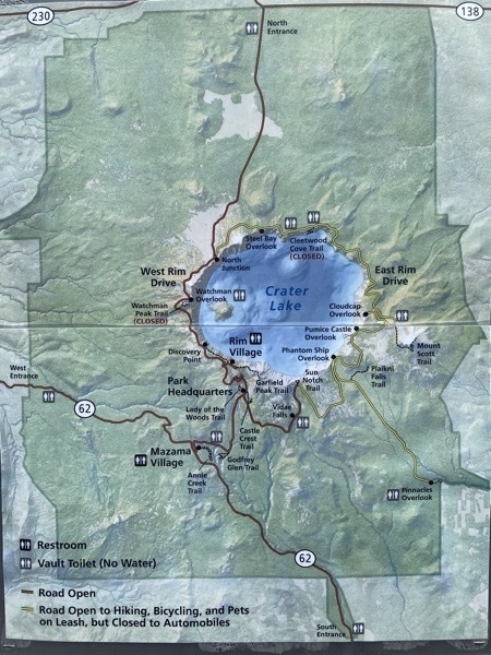
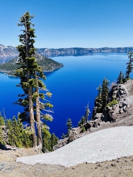
We drove as far to the right of the light as the Phantom Ship Overlook Trail. Past there the road was closed to traffic. Along the way we stopped at the Vidae Falls. Ben and Drew rode their bikes while we hiked the Trail.
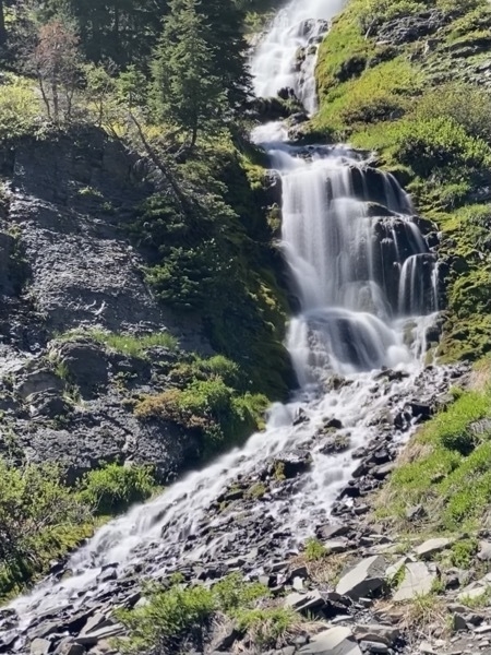
Vidae Falls
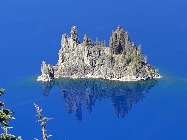
Phantom Ship island
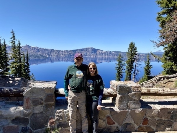
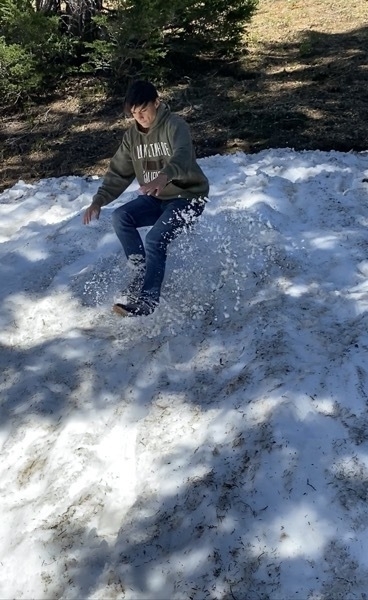
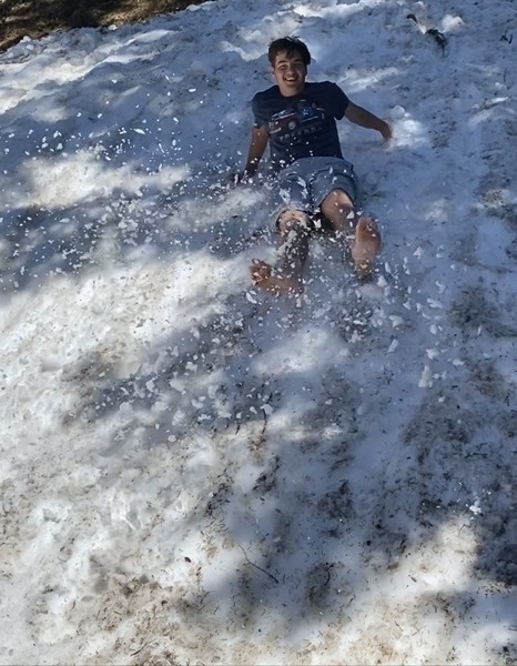
On the way back to the campground we stopped at the Rogue Gorge Viewpoint and also walked to Natural Bridge. Once we got back to the RV park we had driven 96 miles today.
On Thursday we drove from the campground to Mill Creek Falls and Barr Creek Falls and to Avenue of Giant Boulders. While we hiked to those scenic places, Ben and Drew rode their bicycles on the trails.
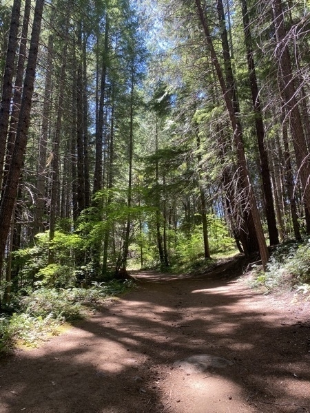
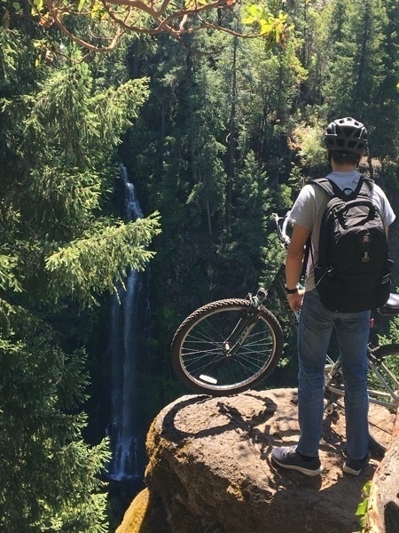
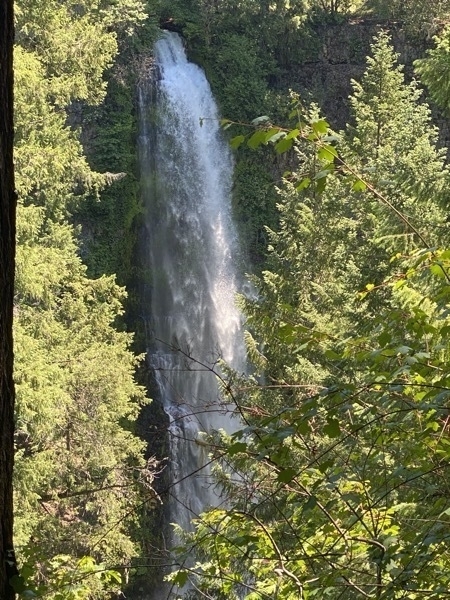
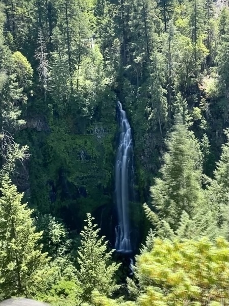
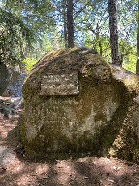
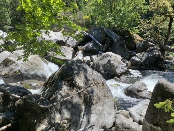
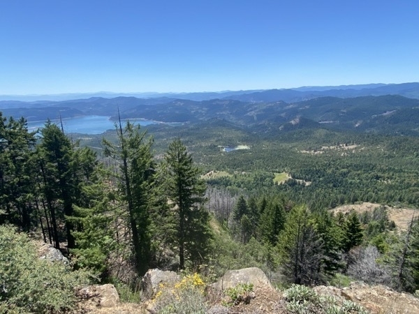
Our last stop for the day (before getting ice cream) was a drive and hike up to The Top of the World - Flouce Rock.
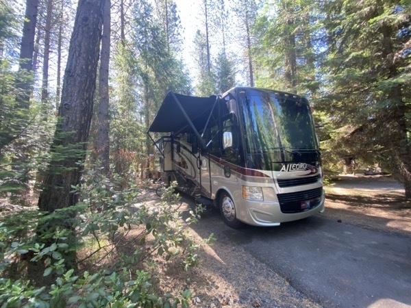
Here we are tucked amongst the trees at the campground
-
Redding, CA - Unexpected stop for days 20 & 22
While our friends continued to Redwood National Park, we took a side trip to Redding, CA to get a repair done on the motorhome. Redding,CA was not on our original agenda for this trip, but we enjoyed our visit here.
Redding has mountains all around, miles of hiking and biking trails, a river running through it, and national parks nearby—what is there not to like??? The weather cooperated and we enjoyed temperatures in the 70’s.Sundial Bridge
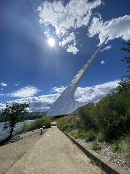
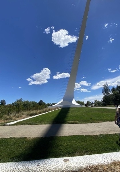
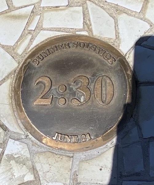
After parking the motorhome at the Sacramento River RV Park, we drove the car to the Sundial Bridge. The bicycle and pedestrian bridge spams the Sacramento River and forms a large sundial. It was completed in 2004 and has become iconic for Redding. The support tower of the bridge forms a mast that points due north at 42 degrees and serves as a gnomon (the part of the sundial that casts a shadow). The shadow is cast on the north bank of the river and is exactly accurate only on June 20 or June 21 (the summer solstice). The tip of the shadow moves approximately one foot per minute.
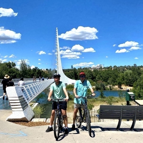
Sacramento River Trail
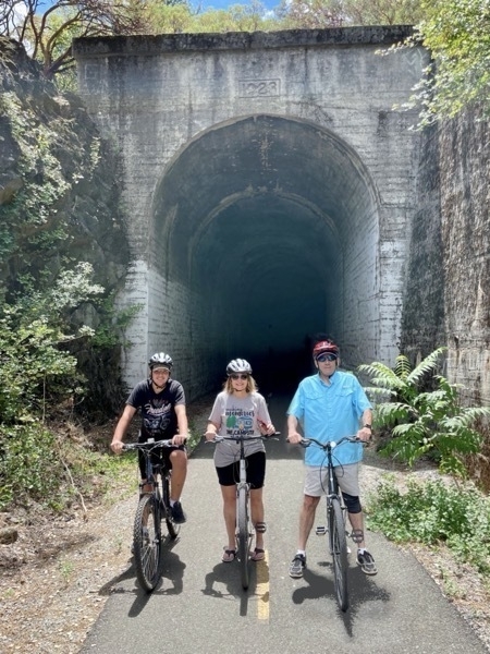
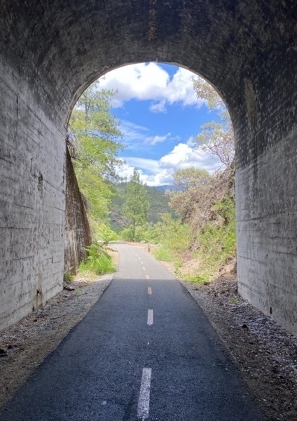
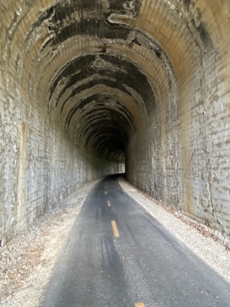
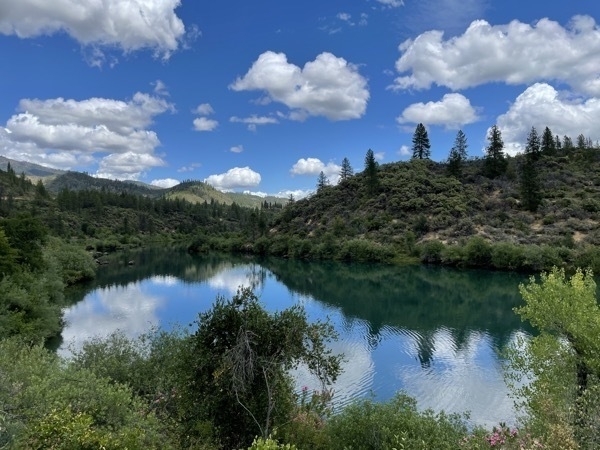
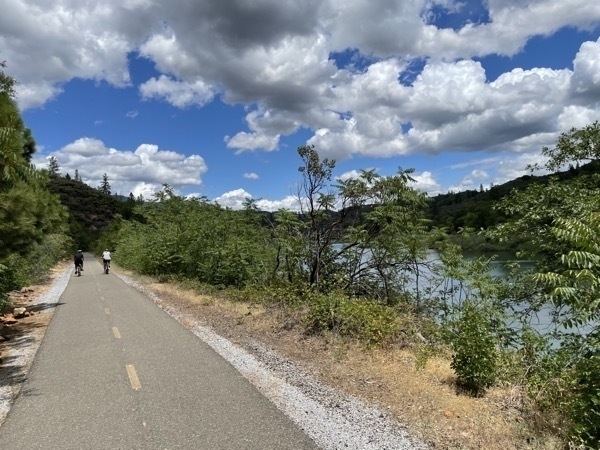
This trail runs along the banks of the Sacramento River and has stunning views of the river and nearby mountains. We rode 5.96 miles along the river near the Sundial bridge on Sunday. On Monday we rode another 5.22 miles on the Shasta Dam portion of the trail. The trail by the Shasta Dam is part of the Rails to Trails network. The railroad track had to be moved when the dam was built.
Shasta Dam
When completed in 1945 it was the second tallest dam in the United States (Hoover Dam in Nevada was the tallest) and was also the tallest man-made structure in California. Now there are seven taller dams in the US. The Dam created Shasta Lake for long-term water storage and helps with flood control and hydroelecticity.
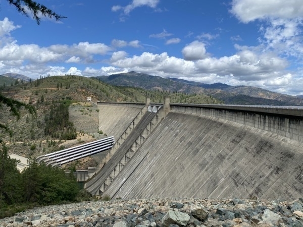
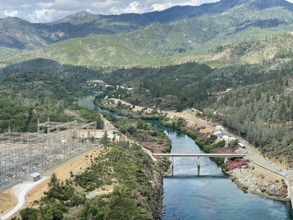
The beautiful view of the valley along the Sacramento River looking downriver from the dam
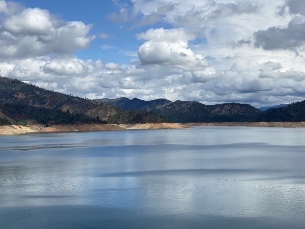
Shasta Lake, the largest reservoir in California
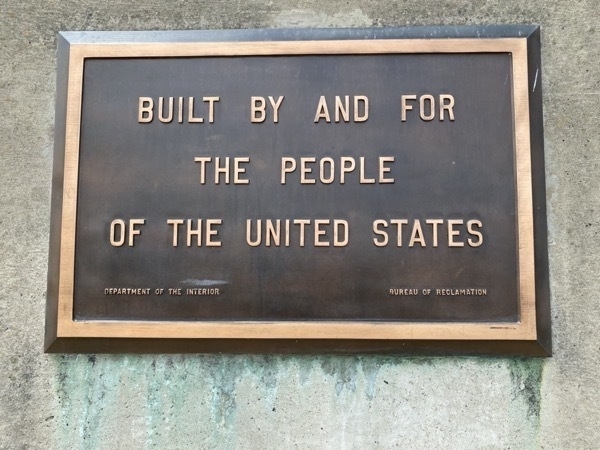
Taking care of business and more….
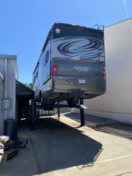
Big Hat getting his new exhaust pipe
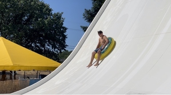
Tom and Ben went to Water Works Park while I went to the eye doctor to get my eyes checked. The doctor wrote me a prescription for some steroid drops and I had to go to SIX pharmacies before I could find one that had the medicine ind stock.
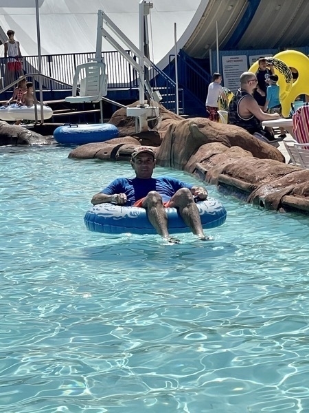
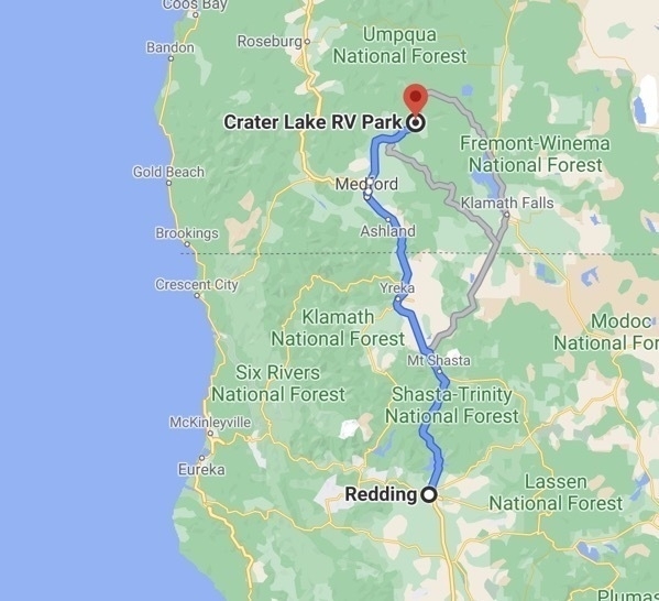
Meanwhile Big Hat was fixed and I had my eye medicine. We headed out of town for our next top—Crater Lake National Park.
Trip Statistics
- Miles driven in the motorhome - 2,938; miles driven in the car 775; total miles driven 3,713 miles
- We camped at the Sacramento RV Campground for $49.50 night. Total trip campground cost of $703.16
- We purchased gas today fo4 $3.24 a gallon in Oregon which was was $1.25 cheaper than in Redding. Trip total = $1,554
-
Lassen Volcanic National Park - Our 45th National Park
Lassen Volcanic National Park
Our 45th National Park on days 17 & 18 of our summer road trip. Lassen was such an unexpected hidden gem to us even though it has been a National Park since 1916. We arrived late in the afternoon the first day and rode bicycles, cooked dinner, and enjoyed an evening around the campfire. Drew, Ben and I played Navy Bridge and Phase 10 before bedtime.
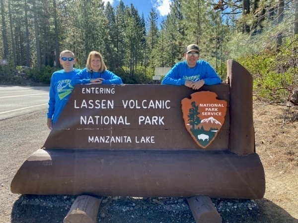
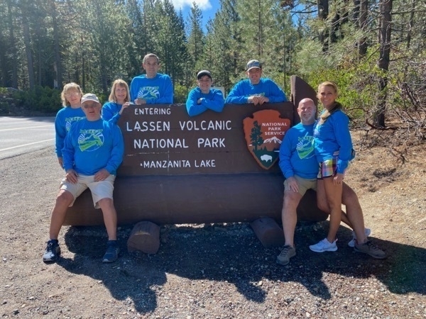
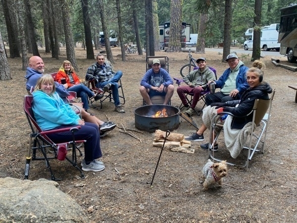
Kings Creek Falls Trail
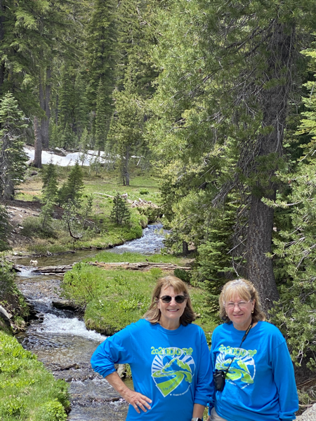
We left the campground at 9:30 on Saturday morning and drove to the parking lot for Kings Creek Falls. There we hiked down through the Kings Creek Meadows and forest before dropping steeply down to the cascades and falls. The hike was a beautiful 3 mile trek.
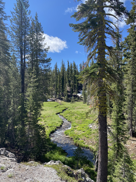
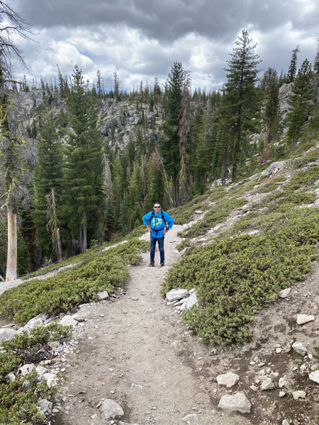
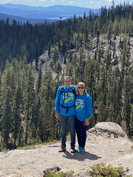
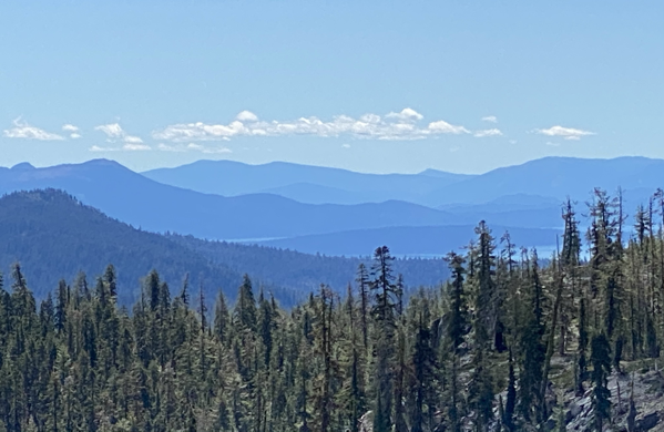
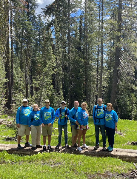
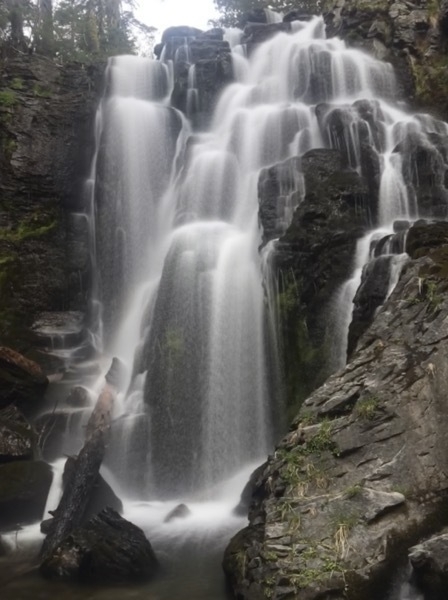
Kings Creek Falls - our destination!
After hiking back UP to the parking area, we took Drew and headed deeper into the park to check out some other sights while the Findleys and Lukes returned to the campground.
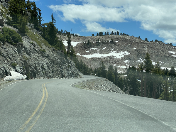
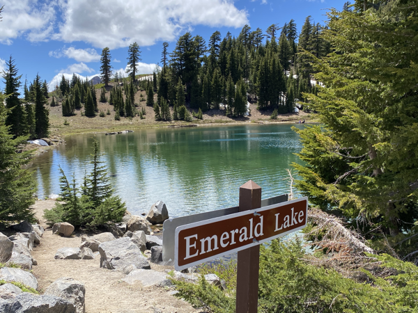
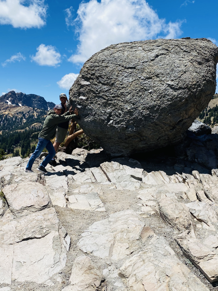
Look at those strong boys rolling that rock!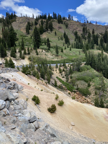
“The park contains eight hydrothermal areas. The roaring fumaroles, thumping mud pots, boiling pools, and steaming ground in these areas are produced when water is heated by magna three miles underground. These features are related to active volcanism and are indications of the ongoing potential for further eruptions.” (From the park guide)
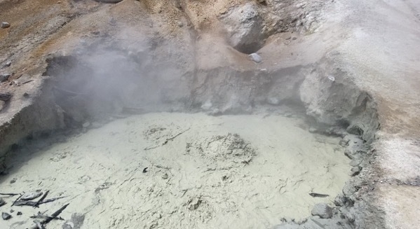
Boiling Mud Pots located at the Sulphur Works, the park’s most accessible hydrothermal area
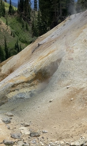
Steam escaping from the earth
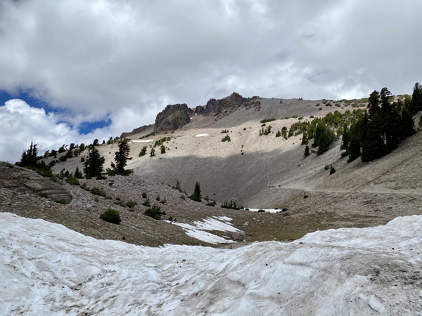
High above the snow is the Lassen Volcano
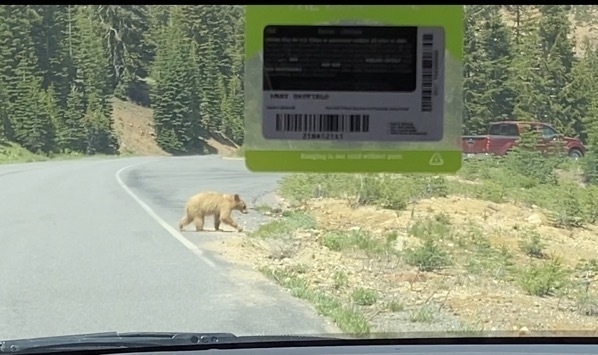
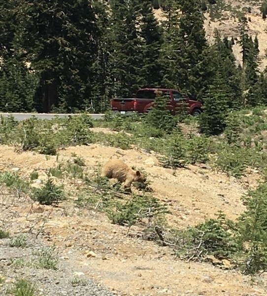
On the way back to the campground two bear cubs crossed the road right in front of us!
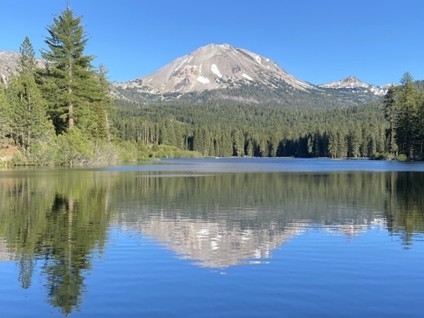
Manzinita Lake
In the evening Tom and I hiked around the Manzinita Lake next to our campground. This trail was mostly flat and only two miles. I was able to take this picture of Lassen Peak reflecting in the lake.
Trip Statistics
- Miles driven in the motorhome - 2,698; miles driven in the car 645; total miles driven 3,423 miles
- We camped at the Manzinita Lake Campground for only $13 a night. Total trip campground cost of $604.16
- We purchased gas at $3.939 a gallon for $106.87. For a trip total of $1307.01
-
Lake Tahoe, CA - Days 15-17
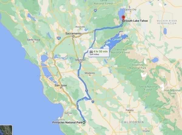
We drove 281 miles from Pinnacle National Park northeast across the state to arrive in Lake Tahoe. The scenery was truly magnificent on the way to the park and all around the Lake Tahoe area.
We drove nine miles on Rt. 89 from the campground to Emerald Bay State Park. The Park features include Eagle Falls and Vikingsholm, as well as the beautiful Emerald Beach. At the parking lot there was a sign that read, “Vikingsholm can be reached by parking in the Vikingshom parking lot by Highway 89 at Emerald Bay. Access to lower Vikingsholm is via a steep one mile trail that drops 500 feet in elevation to the house. WARNING: Visitors with medical conditions or mobility issues should not attempt this hike. THERE ARE NO RIDES OUT.”
We choose to take the hike down and are so glad we did.
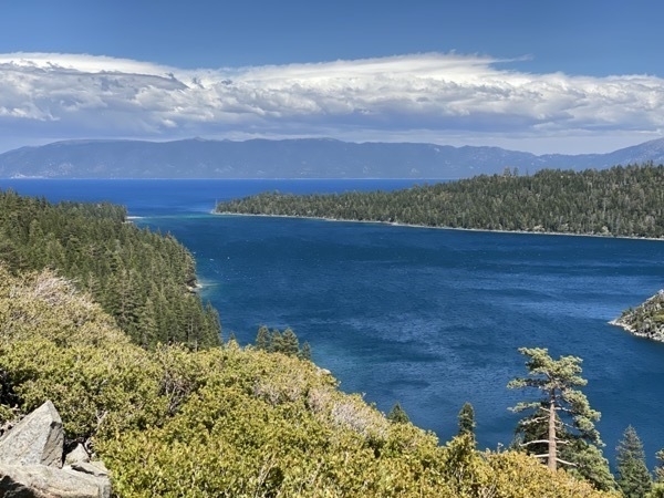
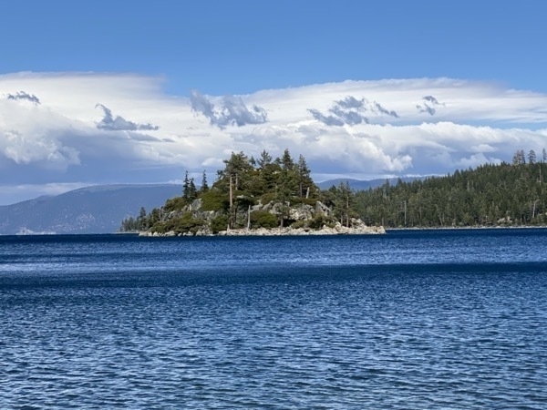
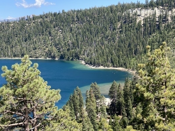
View from the overlook of Emerald Beach
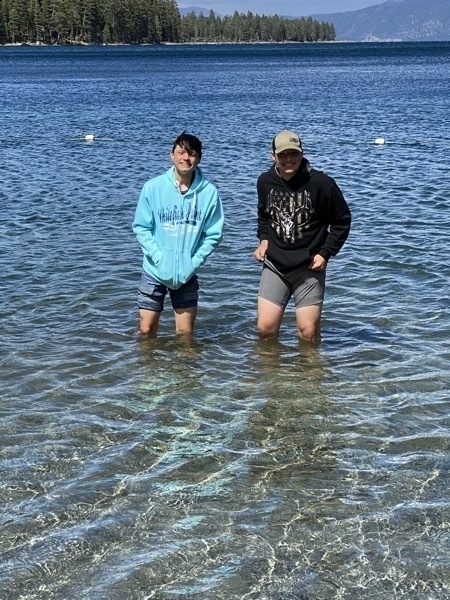
Drew and Ben couldn’t resist the temptation of walking into the 60 degree lake.
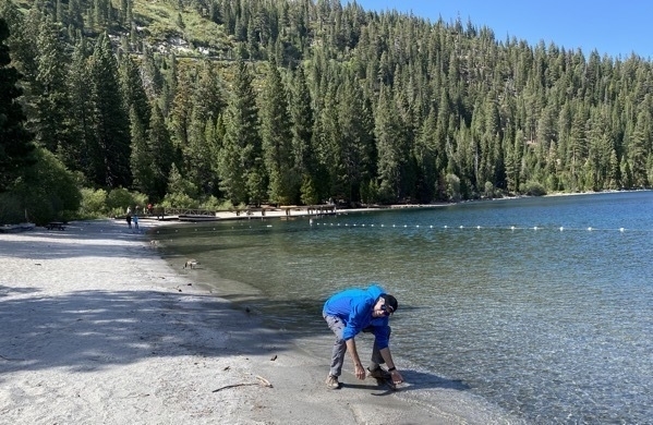
Tom was feeling the temperature of the water, but had no intention of taking a dip.
Vikingsholm
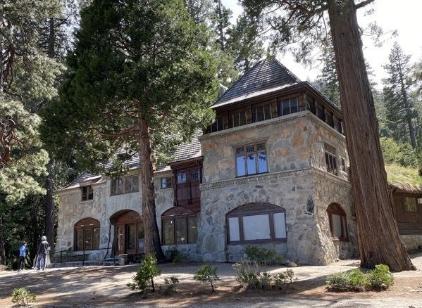
Vikingsholm is a 38-room mansion on the shore of Emerald Bay and on the National Register of Historic Places. It was built in 1929. One of the interesting architectural designs is the sod roof which covers both the north and south wings of the complex.
Two hundred workers were brought to Emerald Bay and started hand hewing the timbers, carving the intricate designs, hand planing the wood for the interior walls, and forging the hinges and latches. Most of the materials to construct the home came from the Tahoe Basin.
Trees were cut for their size and lack of knots, and the granite for the foundation and walls was quarried from behind the house. The ideas for the construction came from buildings dating as far back as the 11th century. Some sections of the home contain no nails, pegs, or spikes.
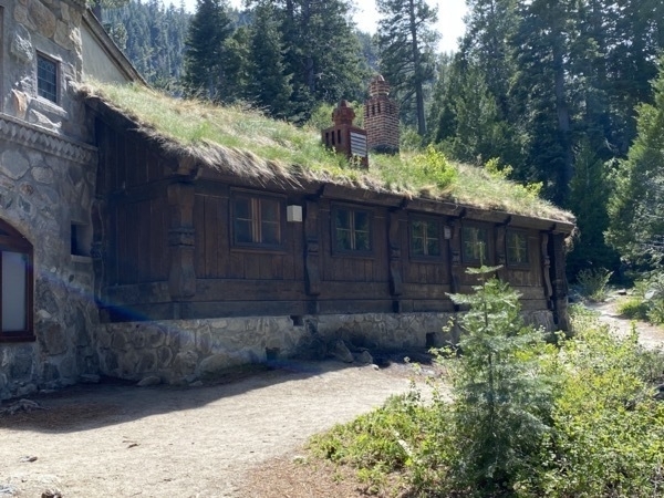
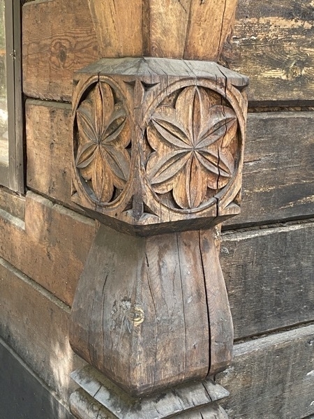
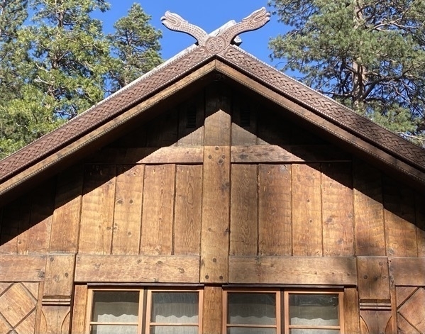
Eagle Falls
We hiked to the base of Eagle Falls and part of the way up the path beside the falls. The picture below was an aerial view of the falls. We were never able to get close enough to see this much of the falls at one time.
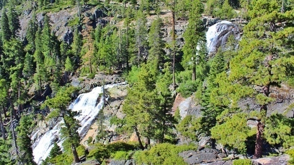
Aerial view of Eagle Falls
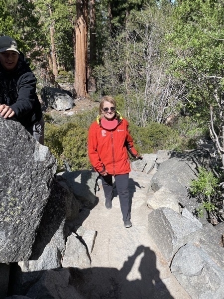
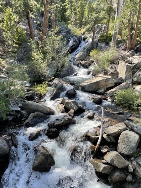
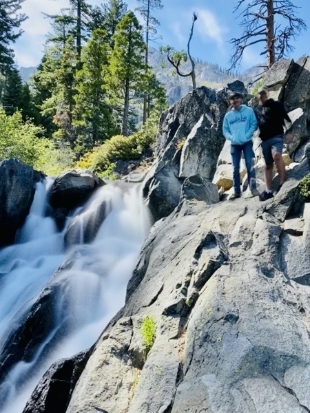
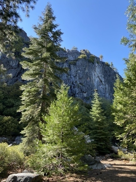
The hike down and back was very pretty and a total of 2.65 miles
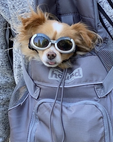
A cute little sighting along the way
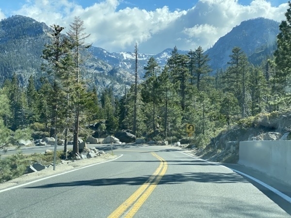
A beautiful drive on the way home
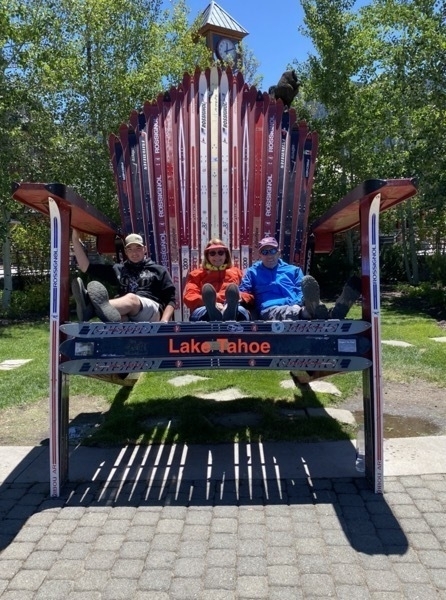
Chair made of ski located in downtown Lake Tahoe
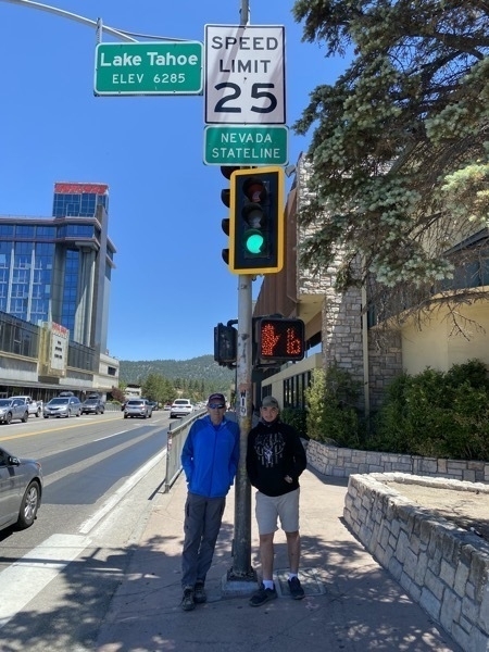
Tom and Ben at the Nevada state line which was right before the Harrah’s casino
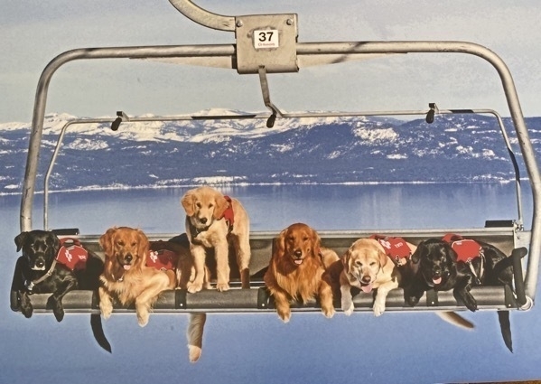
Billboard hanging near the ski lift downtown . Too much cuteness not to share.
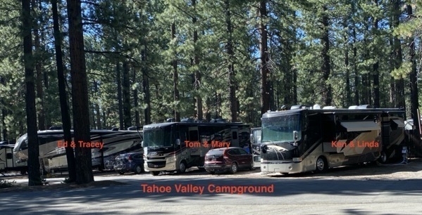
The campground is filled with very tall trees and the campers are parked in between the trees. Our motorhomes were easy enough to get into our spot, but Ed did a magnificent job or parking his fifth wheeler in the space they had.
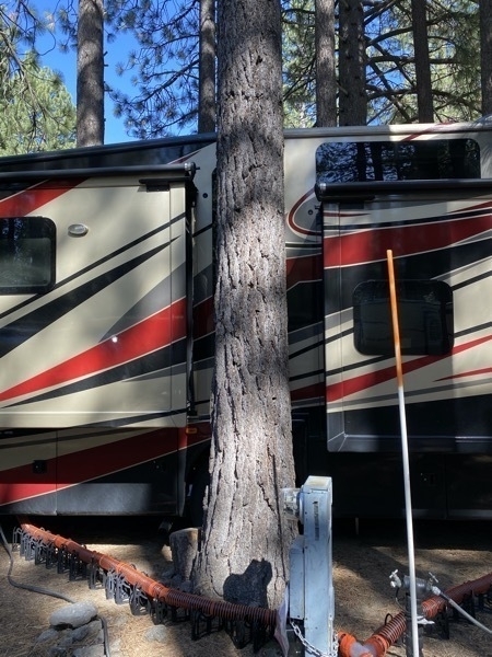
This is not one of our campers, but check out the tree located right between the two slide outs!
Trip Statistics
- Total trip distance driven in motorhome: 2,279. Miles driven in car 562. Total miles driven 3,119
- We’ve spent $1,200 on Gas and the latest cost was $3.799 per gallon
- Tahoe Valley Campground was 67.25 per night. Campground total so far: $578
- Groceries and eating out: $436 or an average of $25.65 per day
-
Pinnacles National Park - Our 44th National Park
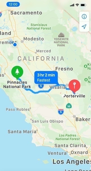
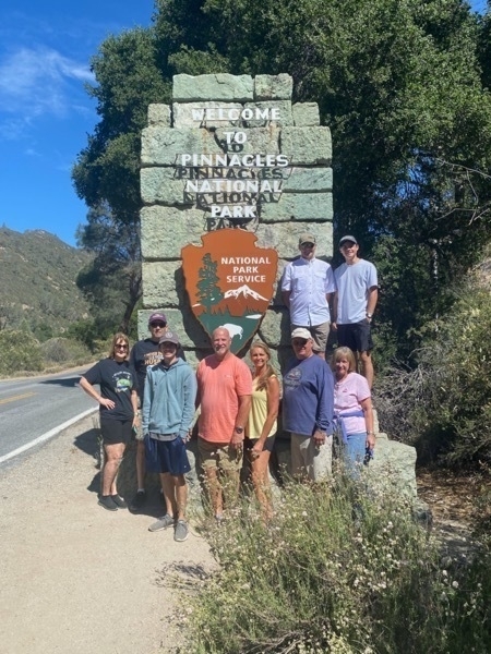
After driving miles and miles through central California’s agricultural and ranching country, we arrived at our 44th National Park-Pinnacles. We were traveling in a caravan with the Lukes and the Findleys as we drove from our last campground in Porterville, CA which was a 158-mile drive.
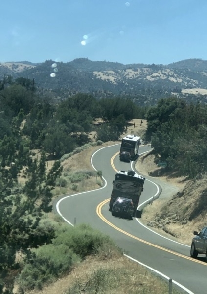
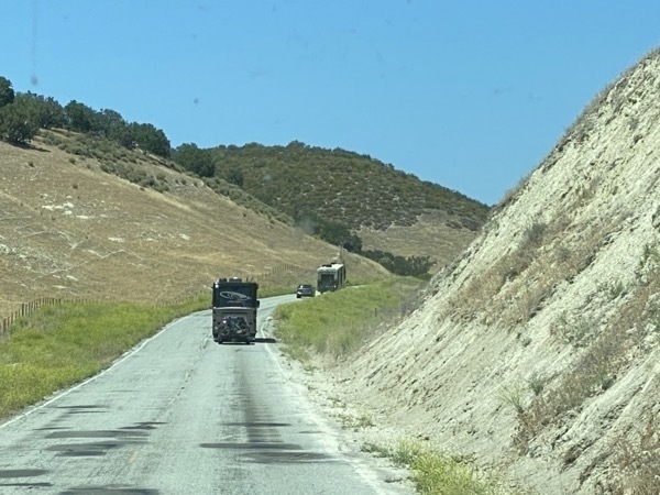
Our motorhome convoy
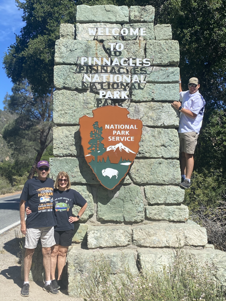
Pinnacles has a unique landscape of spires, huge boulders and towering peaks and after riding through the rolling hills of the surrounding areas, it was a refreshing view. The temperature was in the mid 70’s during the day and in the 50’s at night. We entered the park on the eastern side and stayed at the campground right inside the park.
Condors Gulch Trail
This trail ranks as one of the most popular hikes in the park. We stopped at the first overlook after hiking about a mile. Ken, Linda, and Tracey decided to wait there while the rest of us continue to the High Peaks Trail. The hike was 3.4 miles roundtrip that was mostly uphill getting there and downhill returning. We were hoping to see the endangered and protected California condors flying around at the top but our luck did not prevail.
The California condor has a wing span of 9 feet or more. By the 1980s the population of this magnificent bird had dropped to fewer than two dozen, making it one of the world’s most endangered birds. Breeding and conservation efforts have increased the number of captive and wild birds to more than 460, with nearly 100 condors reintroduced in southern California. The first nest of a condor was found at Pinnacles in 2010.
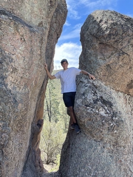
Dillion and Tom took an adventurous side hike on higher ground met us further up the trail.
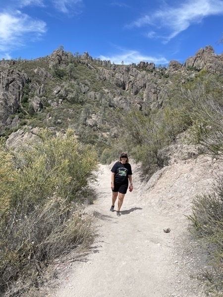
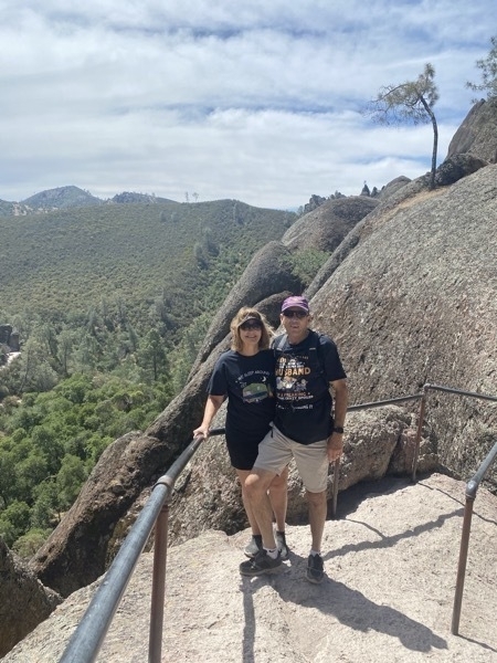
The midway overlook
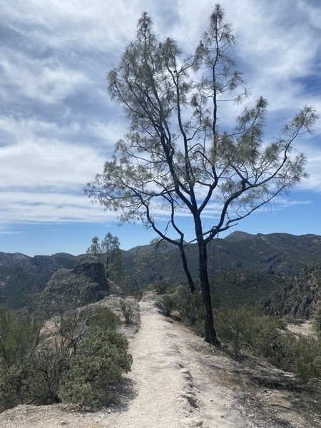
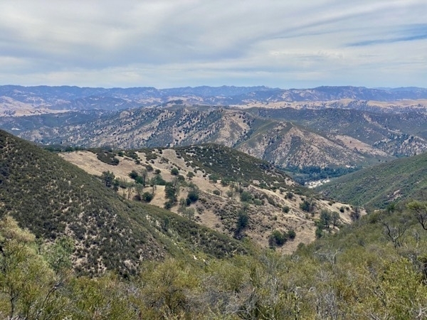
A view from the top
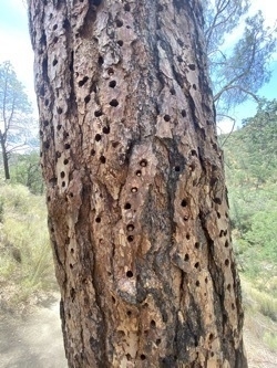
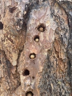
Woodpecker holes filled with chestnuts
We didn’t see any condors during that hike, but we saw 5 or 6 n the evening from the campground flying high above the ridge above the mountains across from us.
Moses Spring-Rim Trail Loop
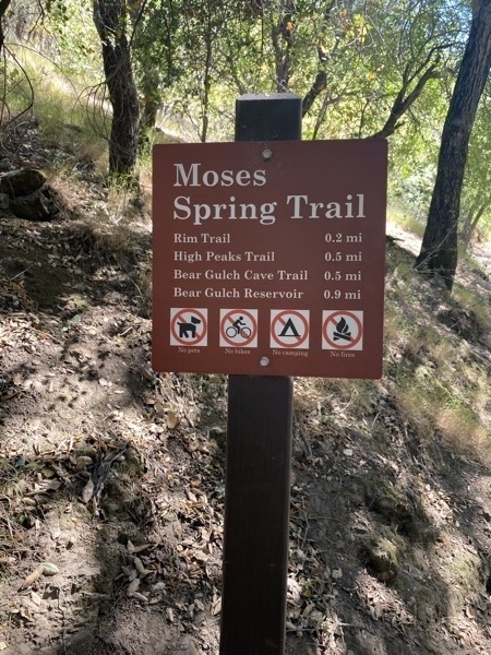
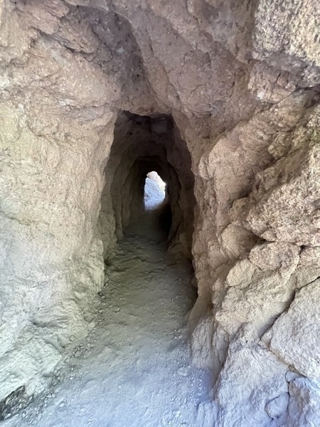
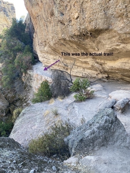
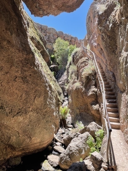
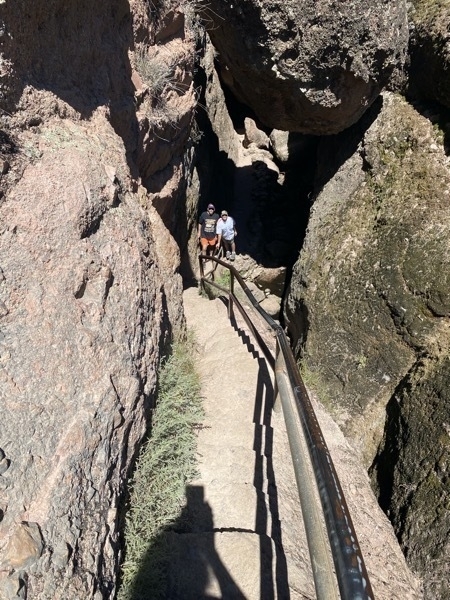
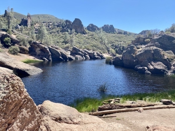
Our favorite hike of the day, this trail was only 1.4 roundtrip and offered the most diverse scenery and obstacles that we’ve encountered on a trail. The trail winds beneath massive boulders that have fallen into gorges and wedged above the valley floor, forming narrow passageways and through natural tunnels and up 50 man-made to the reservoir at the top.. We hiked up to the reservoir, a scenic pool surrounded by tall rock formations.
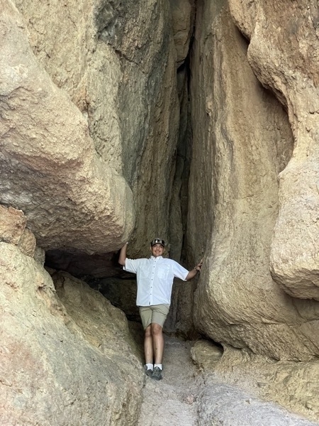
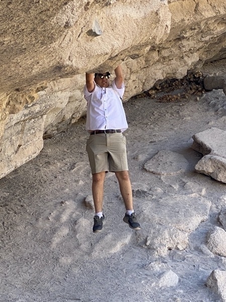
Ben doing a few chin ups on the rock.
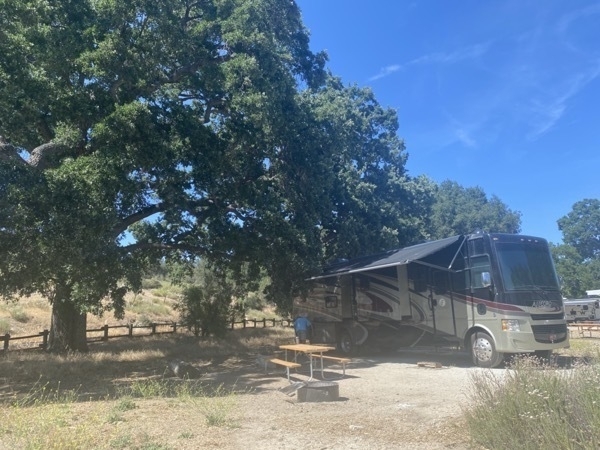
We spent two nights at the Pinnacle Campground where we had a 30 amp electric hookup, but no water or sewer hookup. Luckily, we have large gray and black tanks, so that wasn’t; a problem. There was a pool at the campground also, but it was too cold for swimming. Tom was the only one to take a quick dip which he was using as his shower for the night.
The first evening we met in the Findley’s motorhome where all nine of us played Catch Phrase. The second night the adults came to our motorhome where we played Cadilac and 99. The boys were in the Findlley’s motorhome for games and TV.
This is the only campground where we have ever stayed where the sewage dumped was locked. Finleys needed to dump before we left the campground so we had to wait until the dump was unlocked at 9:30 in the morning. Plus, each person using it had to go get the key, report how much they needed to dump, dump and then return the key. What a needless hassle.
$
-
Pinnacles National Park - Our 44th National Park
After driving miles and miles through central California’s agricultural and ranching country, we arrived at our 44th National Park-Pinnacles. We were traveling in a convoy with the Lukes and the Findleys as we drove from our last campground in Porterville, CA which was a 158-mile drive.


Our motorhome convoy
Pinnacles has a unique landscape of spires, huge boulders and towering peaks and after riding through the rolling hills of the surrounding areas, it was a refreshing view. The temperature was in the mid 70’s during the day and in the 50’s at night. We entered the park on the eastern side and stayed at the campground right inside the park.


Condors Gulch Trail
This trail ranks as one of the most popular hikes in the park. We stopped at the first overlook after hiking about a mile. Ken, Linda, and Tracey decided to wait there while the rest of us continue to the High Peaks Trail. The hike was 3.4 miles roundtrip that was mostly uphill getting there and downhill returning. We were hoping to see the endangered and protected California condors flying around at the top but our luck did not prevail.
The California condor has a wing span of 9 feet or more. By the 1980s the population of this magnificent bird had dropped to fewer than two dozen, making it one of the world’s most endangered birds. Breeding and conservation efforts have increased the number of captive and wild birds to more than 460, with nearly 100 condors reintroduced in southern California. The first nest of a condor was found at Pinnacles in 2010.

Dillion and Tom took an adventurous side hike on higher ground met us further up the trail.


The midway overlook


A view from the top


Woodpecker holes filled with chestnuts

We didn’t see any condors during that hike, but we saw 5 or 6 n the evening from the campground flying high above the ridge above the mountains across from us.
Moses Spring-Rim Trail Loop
Our favorite hike of the day, this trail was only 1.4 roundtrip and offered the most diverse scenery and obstacles that we’ve encountered on a trail. The trail winds beneath massive boulders that have fallen into gorges and wedged above the valley floor, forming narrow passageways and through natural tunnels and up 50 man-made to the reservoir at the top.. We hiked up to the reservoir, a scenic pool surrounded by tall rock formations.


Ben doing a few chin ups on the rock.
We spent two nights at the Pinnacle Campground where we had a 30 amp electric hookup, but no water or sewer hookup. Luckily, we have large gray and black tanks, so that wasn’t; a problem. There was a pool at the campground also, but it was too cold for swimming. Tom was the only one to take a quick dip which he was using as his shower for the night.
The first evening we met in the Findley’s motorhome where all nine of us played Catch Phrase. The second night the adults came to our motorhome where we played Cadilac and 99. The boys were in the Findlley’s motorhome for games and TV.
This is the only campground where we have ever stayed where the sewage dumped was locked. Finleys needed to dump before we left the campground so we had to wait until the dump was unlocked at 9:30 in the morning. Plus, each person using it had to go get the key, report how much they needed to dump, dump and then return the key. What a needless hassle.
$
-
Sequoia and Kings Canyon National Parks--our 42nd and 43rd National Park
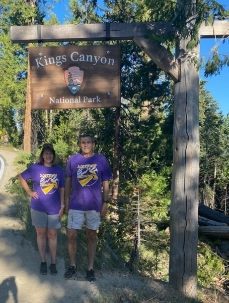
Yesterday we met up with the Findleys and the Lukes at Success Lake Campground in Porterville, CA. This morning we drove to Sequoia National Park and spent the day exploring the park. Our first stop was our obligatory photo opportunity at the National Park sign. It was 92 degrees when we entered the park and the temperature dropped to 72 as we drove deeper into the park.
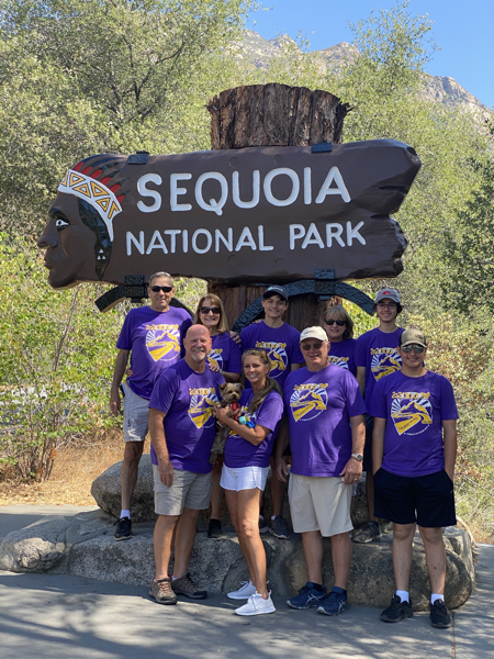
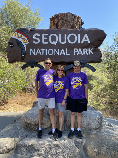
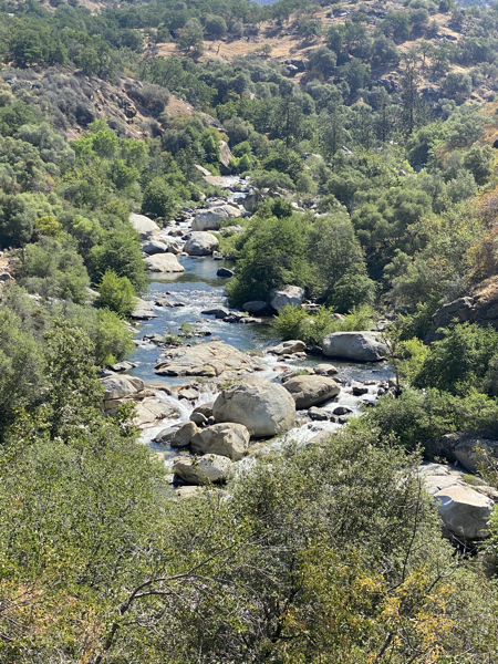
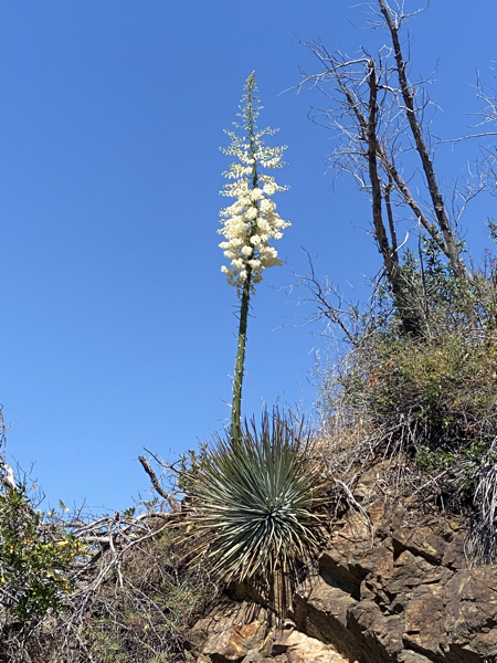
The road through the park is very curvy with a speed limit around 25 mph most of the way (except for the 10mph and 15mph for many of the curves).
Moro Rock
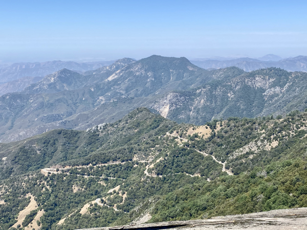
Our first destination after the sign was Moro Rock, an immense dome-shaped rock of granite. We climbed 350 steps to get to the top and were rewarded with breathtaking views of the High Sierras as well as being able to see the curvy road we drove to get there.
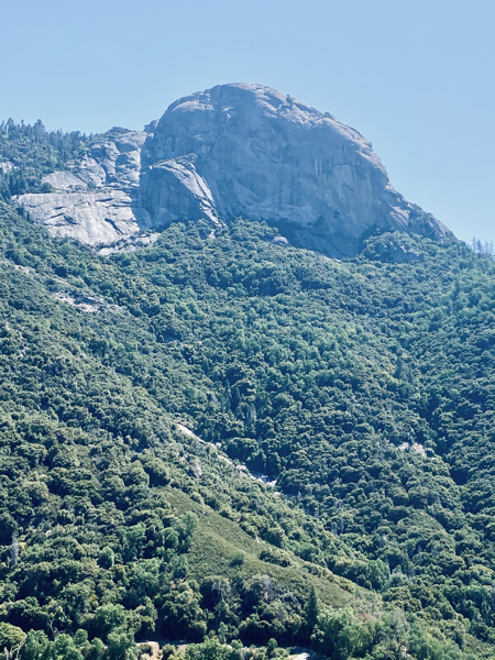
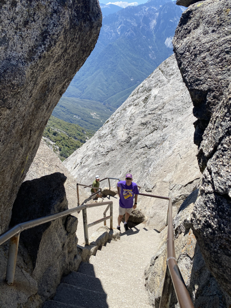
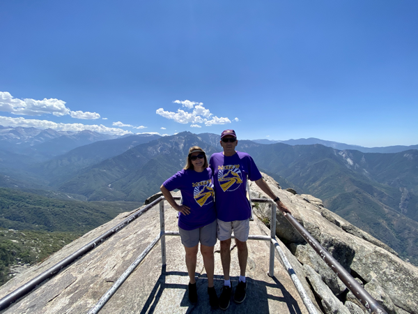
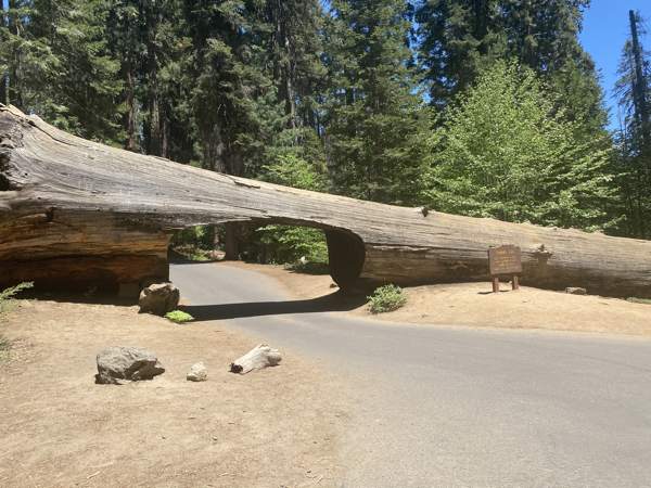
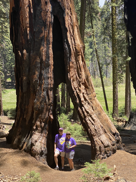
We drove through Tunnel Log on our way to Crescent Madows where we ate our picnic lunch. Tunnel log fell on December 4, 1937. Its base was 21 feet in diameter and its length was 275 feet. The tunnel is 8’ high and 17 feet wide.
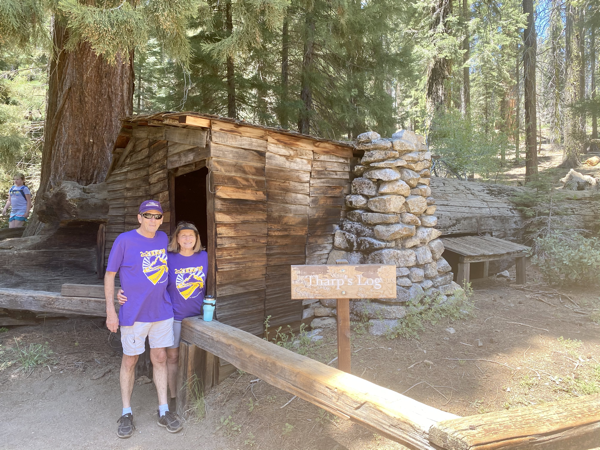
After lunch we hiked to Tharp’s Log. In 1869 Hale Tharp and his sons used a fallen hollow log as a cabin. The log was hollowed by fire through 55 feet of it’s 70; length. A fireplace, door and window exist in the wider end, with a small shake covered cabin extension.
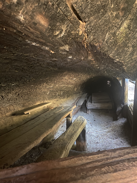
Interior table and bed
Tom, Ben, Dillion and Drew hiked to the General Shearman while the rest of us walked back to the car and drove to meet them. On our way back to the parking lot we saw a bear in the meadow.
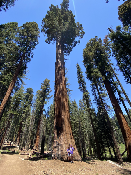
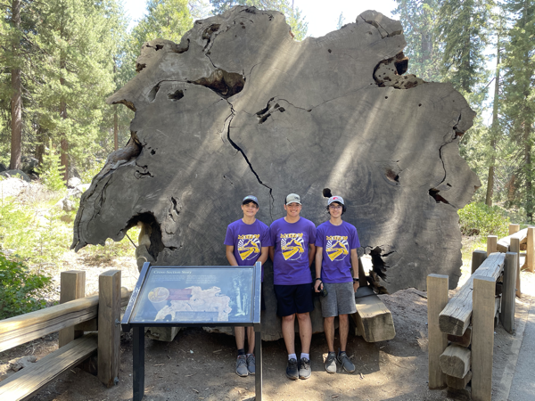
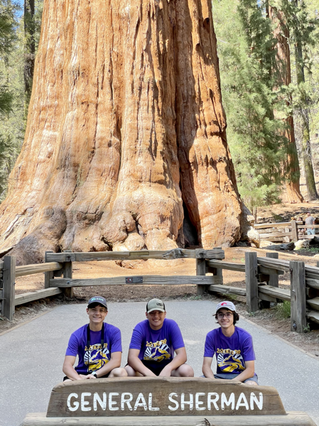
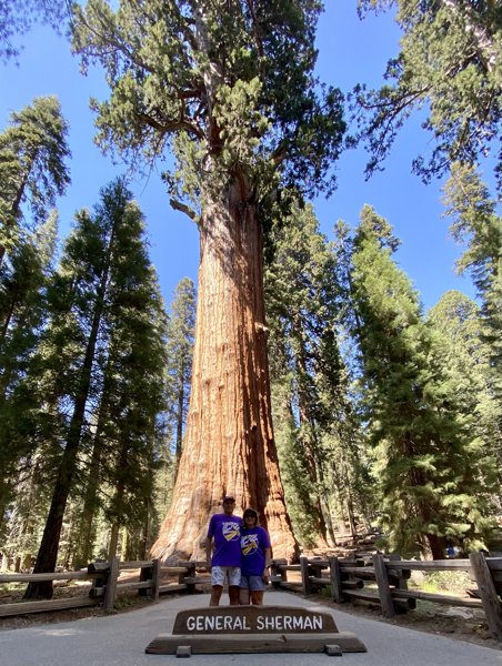
The General Sherman has a circumference of 109’ at its base. Even though the top of the tree is dead, its volume keeps increasing. Each year the trunk grows wider adding enough wood to equal another good-sized tree.
King’s Canyon National Park
Tom and I kept driving through the park to get to King’s Canyon National Park where we saw the General Grant Sequoia and more giant sequoias and magnificent views.
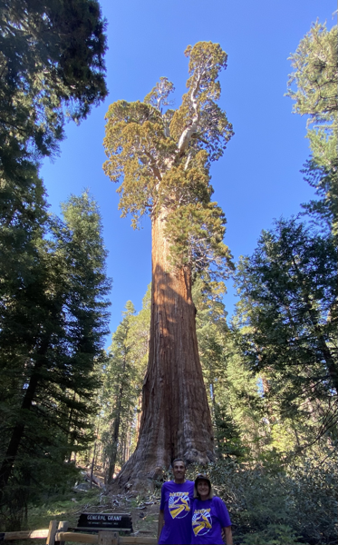
The General Grant tree’s massive trunk makes it the third largest tree in the world by volume. At 40 feet in diameter at ground level, it is the world’s widest known sequoia.
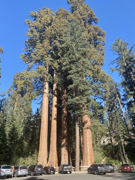
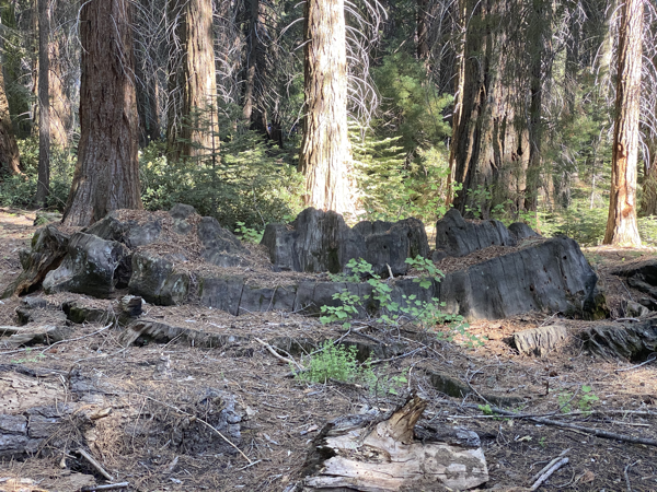
This sequoia was cut in 1875, and a 16 foot sent to Philadelphia Centennial Exhibition of 1876. Only the outer shell was exhibited, the parts being reassembled after shipment. Eastern people refused to accept the exhibit as part of a single tree exhibit and called it a “California Hoax.” It gook 2 men nine days to cute down the tree.
T
Trip Statistics:
- We drove 200 miles yesterday from the park through the two campgrounds and back. Total miles driven: 2004 in motorhome and 494 miles in the car.
- Gas was $76.08 in the motorhome for a total of $836.85
- We are staying at the Succes Lake Campground in Porterville, CA for $15
