-
Ronald Reagan Presidential Library - Day 8
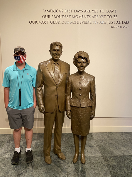
Today we drove to Simi Valley to tour the Ronald Reagan Presidential Library.
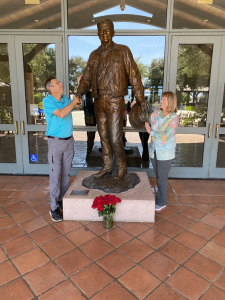
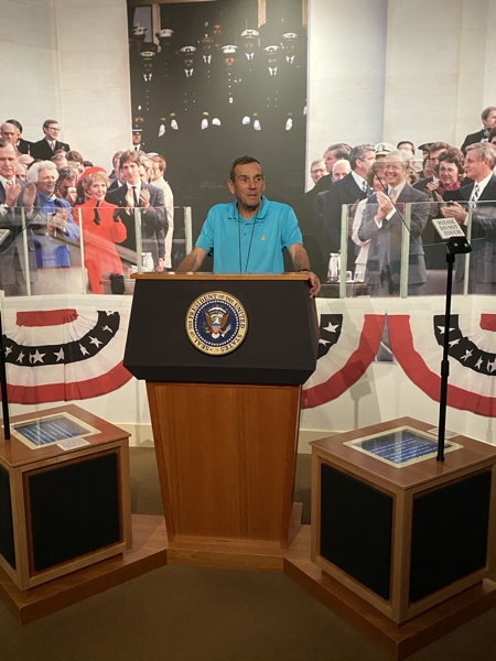
Tom giving his Presidential acceptance speech. In the background on the left are George H. W. And Barbara Bush and the Reagan’s son. On the right side behind him are the Mondales, The Carters, two of the Bush brothers.
Air Force One
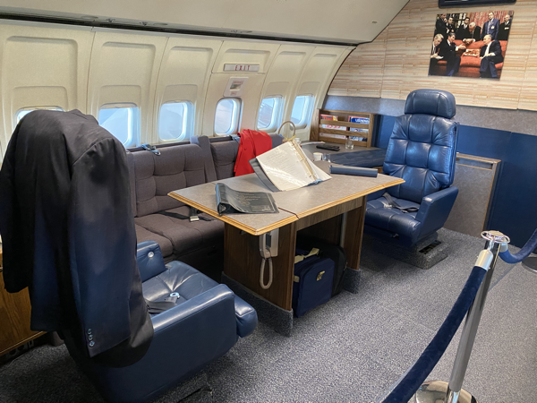
Known as 27000, this Boeing 707 was accepted into the Air Force on August 4, 1972 after 200 hours of testing. It was used by seven U.S. presidents - Nixon, Ford, Carter, Reagan, H.W. Bush, Clinton, and W. Bush. The Reagan Library received 27000 in a decommissioning ceremony on Sept 8, 2000 at the San Bernardino International Airport. It was disassembled over a nine-week period by a nine member Boeing crew. It was transported to the Reagan Library on a specially designed truck crossing four freeways, traveling 194 miles.
The roof and 2 1/2 sides of the library walls were in place. The remaining walls were added after pieces of the 27000 Air Force One was inside. It took two weeks to reassemble it.
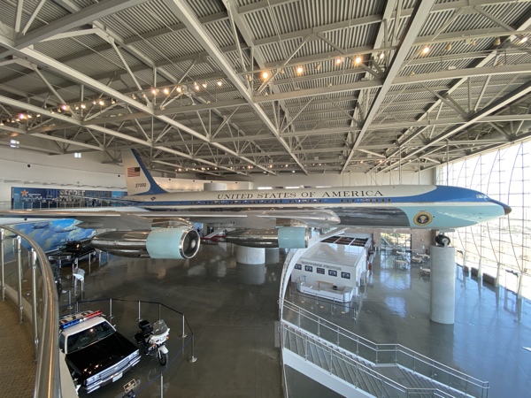
Holds 52 passengers, Cruising speed 540 nautical miles. Service ceiling - 42,000 feet
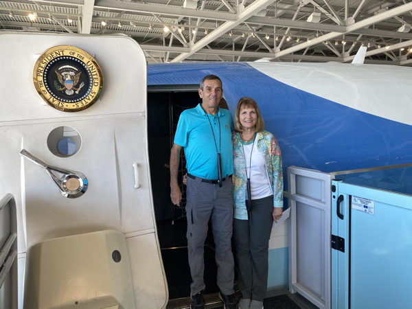
An interesting tidbit. Air Forces One carried 11 members of the press. There was a lottery to see which members of the press were able to go. Each press member had to pay the full cost of a first class ticket plus $1.
Marine One
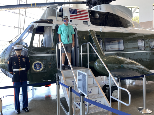
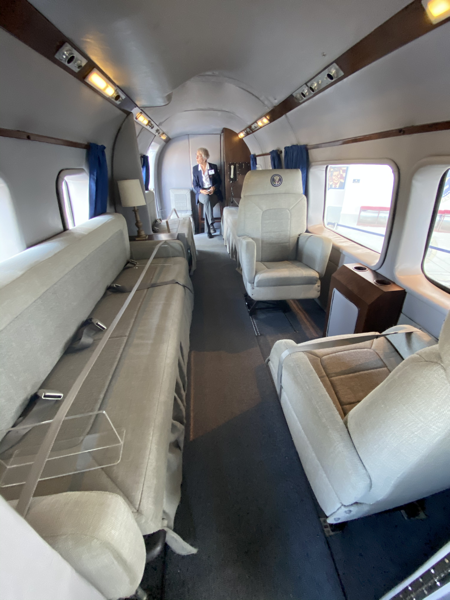
150611, a Sikosky VH-34, was delivered to the Army in 1962. It wore Army markings early in its service since both the Army and Marine Corps flew executive transportation helicopters. It was assigned Presidential/executive duty from 1967-1968, and again from 1974 to 1976. It also served in Naby helicopter support squadrons HC-6 and Hc-2 from 1975 to 2002. Retired from the Navy, it arrived at the Reagan Library in March 04 2004.
Fuel capacity - 5,000 lb; Range 625 miles; 2 pilots; 15 passengers
Ronald Reagan artwork
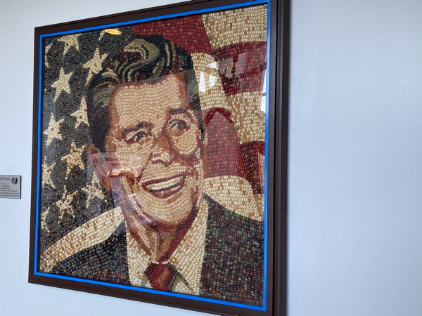
Painted in Oil then covered in a mosaic of approximately 10,000 Jelly Belly beans to create depth and dimension. The beans are permanently protected with polyurethane.
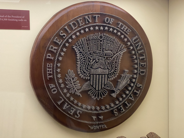
This presidential seal is made from 6,500 finishing nails on redwood
After driving back to Ventura Tom offered to do the laundry while Ben and I washed the car at a car wash. ‘after dinner we payed a game of canasta.
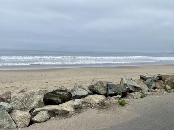
The view from our campground this morning as we left.
Trip Statistics:
- Miles driven to get to Ventura: 212; Total on trip: 1795
- Emma Woods Beach Campground $43.33
-
Channel Islands National Park-National Park #41
Today was the most incredible day! We boarded an Island Packers boat in Ventura Harbor to cruise the 21 miles to the Santa Cruz Island, the largest of the Channel Islands. Channel Island National Park is comprised of six different islands that are each unique for the animal life, vegetation, scenery, etc.
Right after leaving the harbor we saw all these California sea lions vying for a place on this buoy. About 30 minutes later we started seeing hundreds of dolphins. We were told that for each one we see, there are seven others in the water. What a magnificent gift it was to be able to watch them while we sailed. On the way back we not only saw hundreds more dolphins, but also hundreds of California pelicans and two hump back whales.
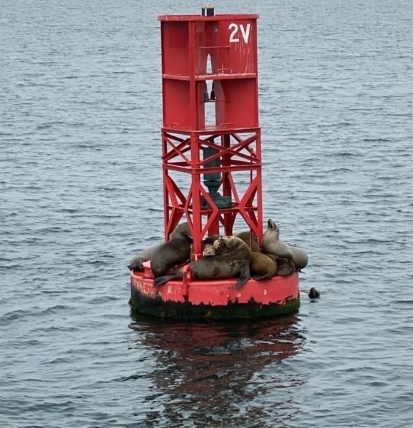
California Sea Lions
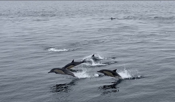
Ordinary Dolphins
We arrived on the island around 11:30 and had five hours to explore the island before catching our 4:30 boat back to Ventura Harbor. We first ate the sandwiches we brought and then spent several hours hiking around the island. Here there are rugged mountains, grass-covered hills, and some animals and plants that you have never seen before. Island features historic ranches (where sheep were once raised); island fox; island scrub jay; and Painted Cave, on of the world’s largest sea caves.
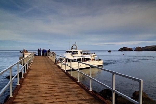
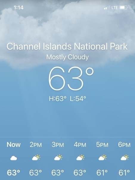
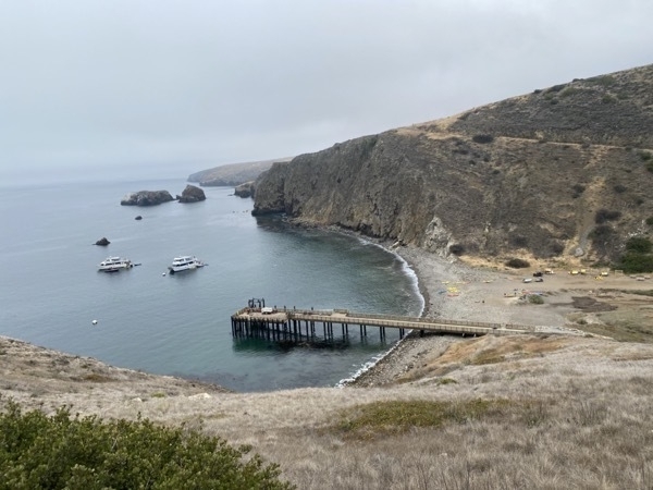
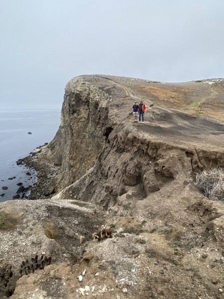
We first hiked the Cavern Point Loop Trail with it’s magnificent coastal vistas. It was only a two mile hike, but it was steep going up and coming back down.
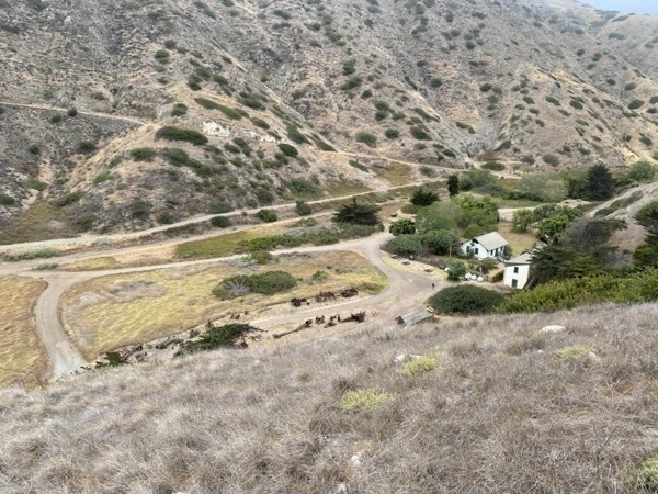
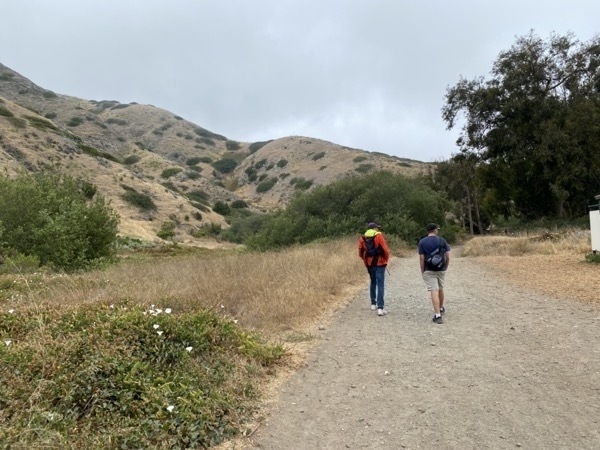
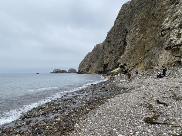
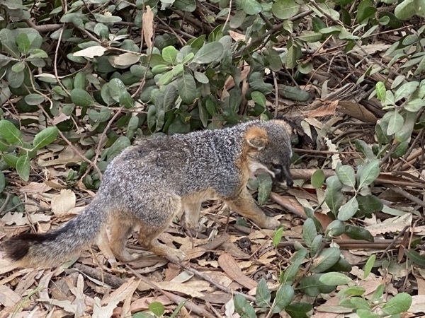
After the hike we walked in the campground where we were told hundreds of foxes live. It didn’t take long for us to several.
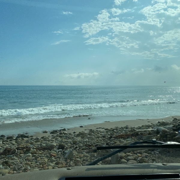
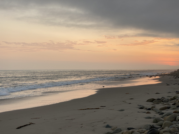
We are staying at the Emma Wood Beach Campground. Our camper is directly facing the Pacific Ocean and parked right above the beach.
Trip Statistics
Miles driven in motorhome 212; Total on trip: 1,795
Gasoline Cost: $3.689 per gallon or $130.90 ; Total on trip: $660.90
Emma Wood Beach Campground, Ventura $43.33 -
California! Joshua Tree National Park -our 40th National Park (Day 6 of 101)
California
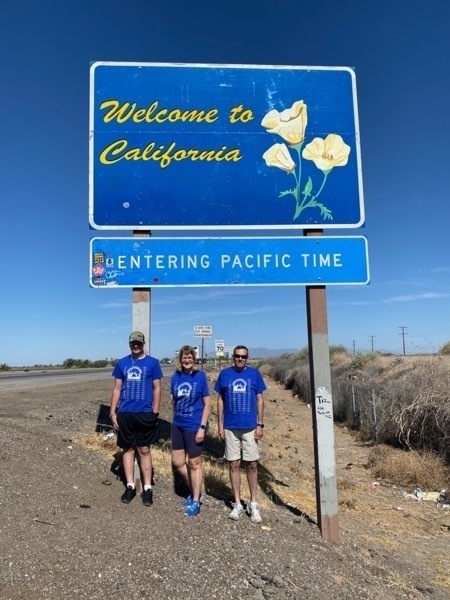
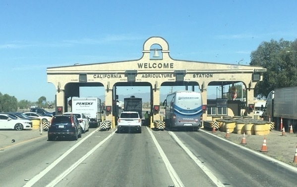
We crossed the California border at 9:15 this morning. All vehicles had to stop at the inspection station, but most of the cars and RVs were waved right through. The speed limit on I-10 for all RVs and trucks is 55mph while cars can still drive 75mph. This is an absolute desolate stretch of highway reminiscent of west Texas.
We drove into Joshua Tree National Park from the south entrance of the park near the Cottonwood Visitor Center on the Pinto Basin Road. We were driving the motorhome and towing the car through the park to get to the north end near our campground at Twentynine Palms. We weren’t able to stop at too many places because there was no where to park.
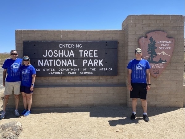
We are wearing our matching National Parks shirts that have box beside each park to mark off after we visit.
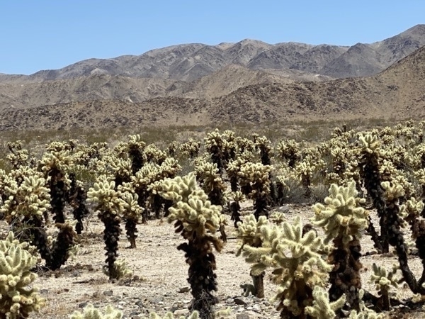
One quick stop was Cholla Cactus Garden. There was a warning to take care around theses cacti. They are commonly referred to as “jumping” cholla as segments can beak off and attach to people and animals as a way to reproduce.
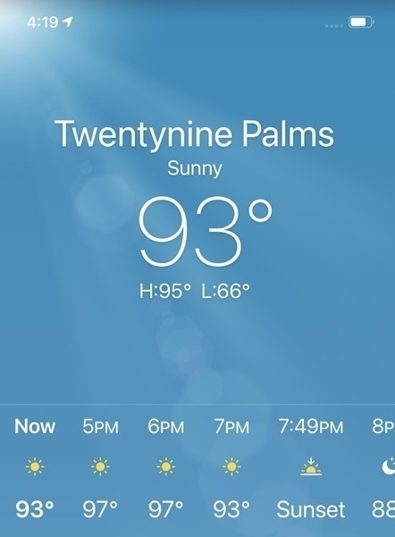
We drove to Twentynine Palms and parked the motorhome at the 29 Palms RV Campground. Ben unhitched the car and after we ate lunch, we headed back into the park with our car.
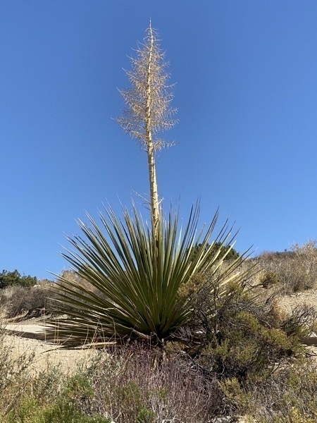
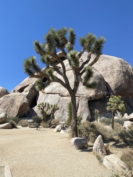
Joshua Tree
Keys View
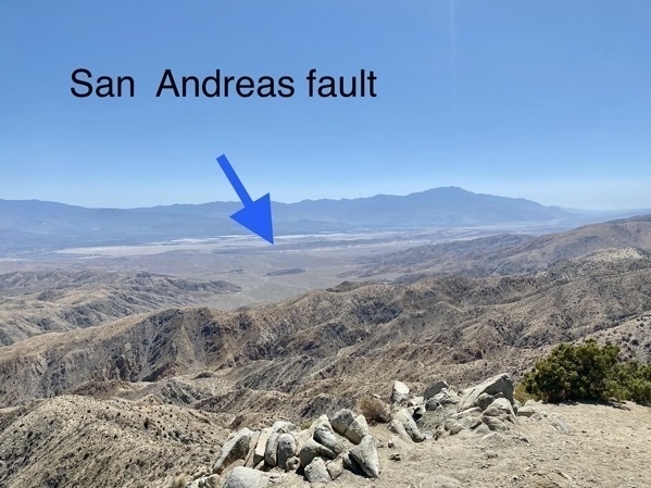
Our first stop was at Keys View where we saw a panoramic view of the southern side of the park. On a clear day, it is possible to see Signal Mountain in Mexico 90 miles to the south. We were also able to see the Andreas Fault which runs roughly 800 miles through California where the Pacific Plate and North American Plate meet.
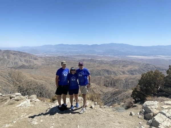
I can’t believe I am now the short one at 5’7”
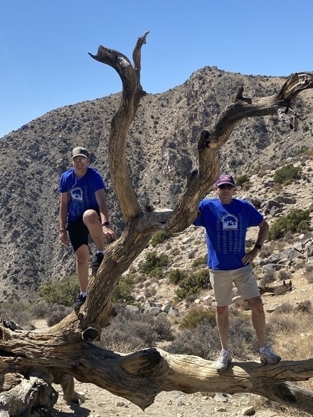
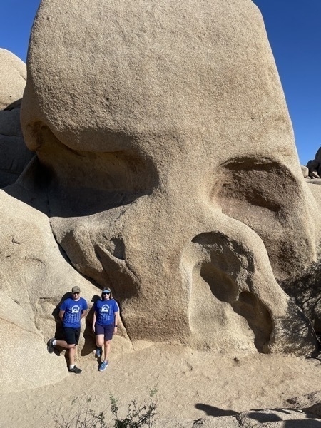
We walked the 1.7 mile trail to see Skull Rock
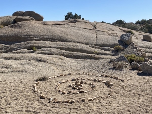
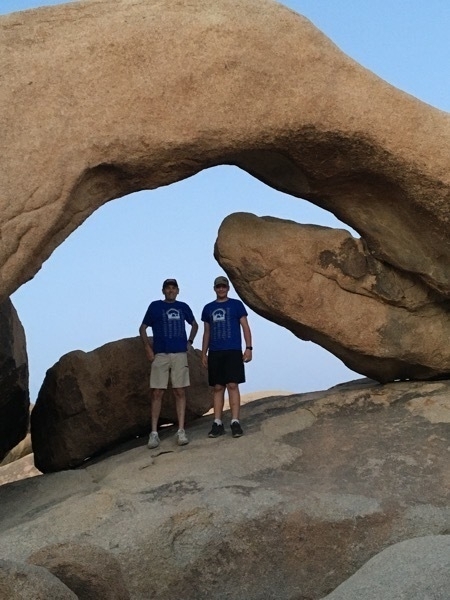
We drove back into the park in the evening and hiked to Arch Rock and then stayed there for sunset.
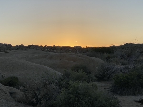
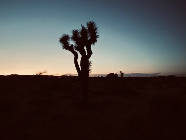
Sunset in the park with a Joshua tree in the foreground
Twentynine Palms
The City of Twentynine Palms is where the US Marine Corps Air Ground Combat Center is located. It’s the world’s largest Marine Corps training base. According to the city’s website, “The city is known for its world class murals and artists, supportive business climate, pristine air, beautiful natural surroundings, desert and mountain vistas, and friendly family lifestyle.”
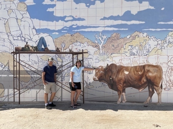
When we walked up to this mural, we thought the guy was actually asleep on the scaffolding, but it’s just part of the painting.
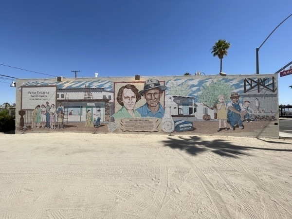
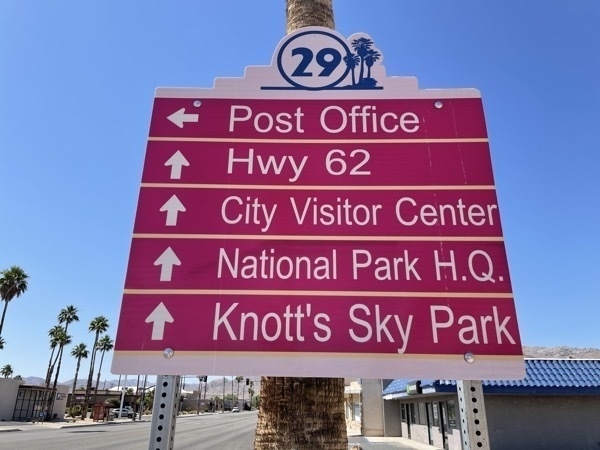
The roadsigns are hot pink
Trip Statistics
- Miles driven in motorhome today 146; Total on trip: 1583
- Gasoline Cost: $2.729 per gallon or $121.38 ; Total on trip: $651
- 29 Palms RV - 39.75; Total for campgrounds $173.18
-
Benzon, AZ to Quartzsite, AZ-Electrical Panel Lights-Oh no! Day 5
This was our second day to drive across Arizona . We are now only 24 miles from California.
When I was diving the motorhome through PHOENIX today on I-10, the electrical panel on the dashboard started flashing, the acceleration vanished and the speedometer went to zero and, the brakes didn’t work. SCARY!!! After two minutes or so everything started working and seemed fine. We stopped in a parking lot and called every RV and Ford dealership in Phoenix, but it’s Saturday afternoon on Memorial Day weekend and could not get any assistance. Since everything seemed fine and none of the lights remained on, Tom thought we should go ahead and drive to Quartzite.
We arrived safely in Quartzite where the temperature is 99 degrees, but it’s a dry heat, right ??? We walked about .5 miles to dinner at Silly Al’s Pizza.
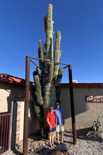
In front of Silly Al’s Pizza
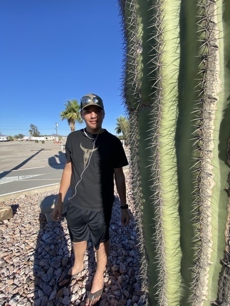
Check out the size of these cactus needles!
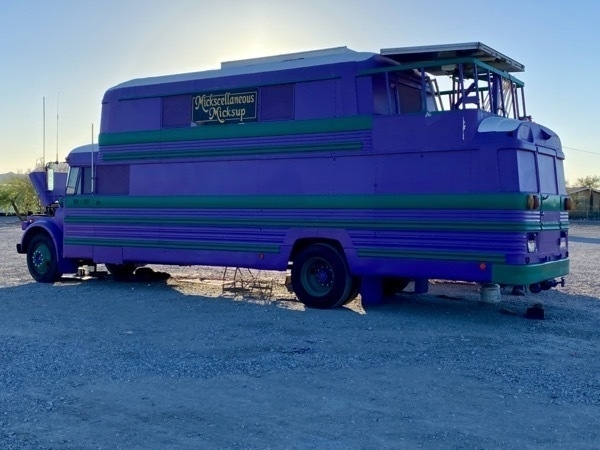
We talked to the man who built this from three different buses. He said there are two bedrooms on the top level.
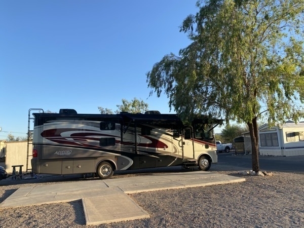
Space #40 in Koa Mountain RV Park
Trip Statistics
- Miles driven in motorhome today 286; Total on trip: 1,437
- Gasoline Cost: $2.729 per gallon or $102 ; Total on trip: $530
- Kofa Mountain RV - $22 (Passport America Member price). Total for campgrounds $133.43
-
El Paso to Benzon, AZ
Benson, Arizona
Another day of driving on our way to reach California. This morning we left El Paso and drove through New Mexico and into Arizona.
Ben managed to get two flat tires on his bike before we left El Paso. so he and I went to Walmart as soon as we arrived in Benson to get two new tubes. Tom changed both tires shortly after we got back to the RV Park.
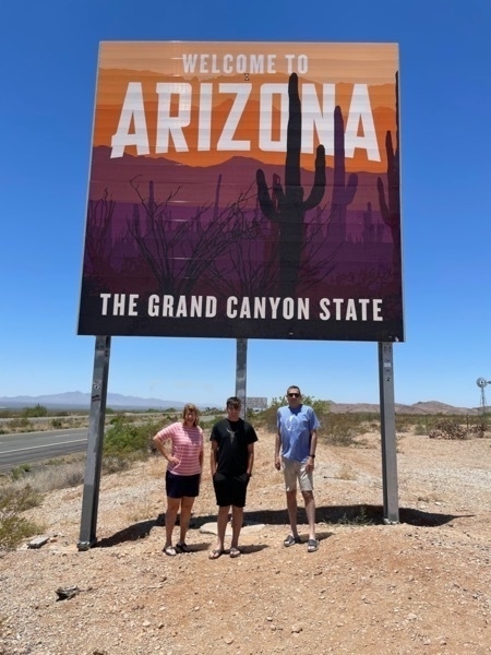
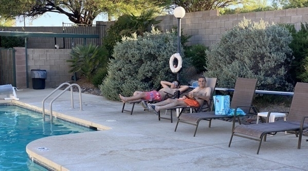
The RV Park is very nice with a pool, jacuzzi, game room, exercise room, observatory and pickle ball court. The temperature was 93 when we arrived, but the humidity was only 7% (unheard of in Louisiana!!). We swam and used the hot tub for about two hours. We were amazed at how chilly it felt when we got out of the pool in the hot temperature. It was a beautiful day.
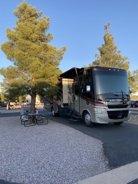
Trip Statistics
- Miles driven in motorhome today 286; Total: 1150
- Gasoline Cost: $121.66 today; Total $426
- Butterfield RV Resort $23.23 (Passport America Member price)
-
Driving Across Texas - Days 2 and 3
El Paso
Every time we cross the border from Louisiana into TX we see the sign that says El Paso 857 miles. Driving across I-10 in Texas has to be one of the most monotonous drives to get across a state, but we have arrived! This is only a one night stop over on our way to California. We took a slight detour off I-10 when we went up to Austin to visit with Michael. Last night we stopped in Fort Stockton, TX for the night.
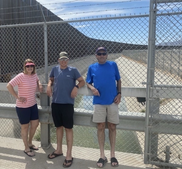
The Border Wall at El Paso
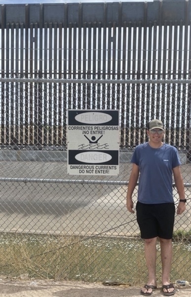
We told Ben we could try to drop him over the fence into Mexico, but he didn’t even think that was funny (like we could even begin to lift him)!
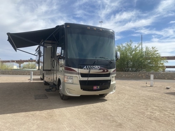
El Paso is mostly sandy dirt and this RV Park is no exception. The Cordova bridge into Mexico is in the background.
Trip Statistics
- Miles driven in motorhome today 230; Total: 876
- Gasoline Cost: $180 today; Total $305
- Ft Stockton RV Park - $36 (Passport America Member price)
- Mission RV Park El Paso - $22 (Passport America Member price)
-
On the Road Again! Day 1 of 101-Lake Charles to Austin
We left Lake Charles at 11:00 AM to begin Day 1 of our projected 101 day summer vacation —also known as “Getting the Hell out of Dodge” to avoid the summer heat and humidity in Lake Charles. This was supposed to be the year we drove to Alaska once again, but since the Canadian Border is still closed because of COVID, that is not a possibility. We were always planning to drive up through CA, OR and WA to visit the National Parks in those states so all those reservations were made months ago. Once we realized that the Canadian border was not going to open for summer travel, Tom had to scramble to make reservations for the alternate routes in the Northwest.
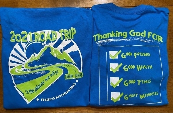
Our summer vacation shirts
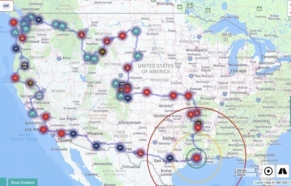
This is the route for our trip.
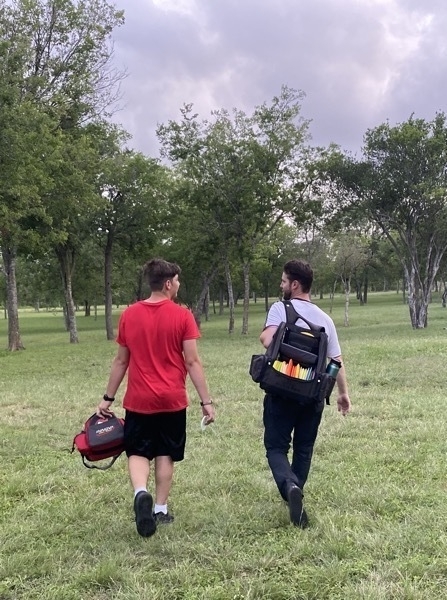
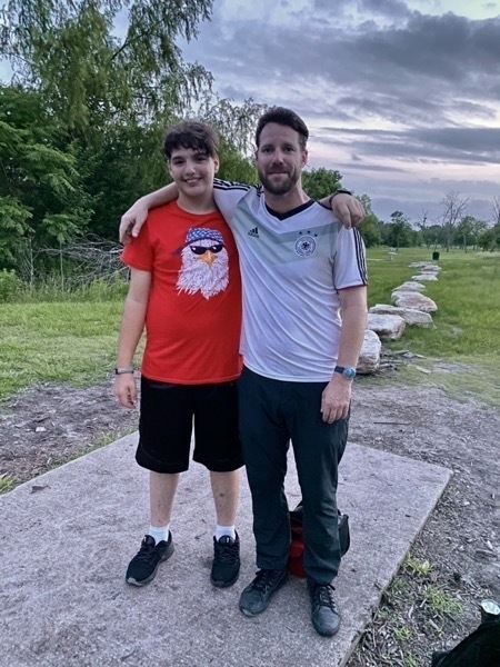
We arrived in Austin at our campground at 5:15 and Michael drove out to eat dinner with us. After dinner I walked along while Michael and Ben played a round of Disc Golf. After the game we returned to the campground and played a few games of Flip Uno.
Trip Statistics
- Miles driven in motorhome: 303
- Gasoline Cost: $125, averaged 6.4 miles to the gallon
- Austin Lone Star RV Park - $24 (Passport America Member price)
-
Gatlinburg - Laurel Falls, Mirror Maze and Putt Putt
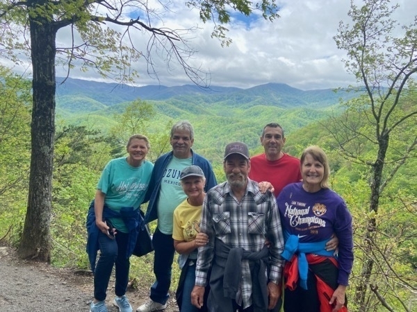
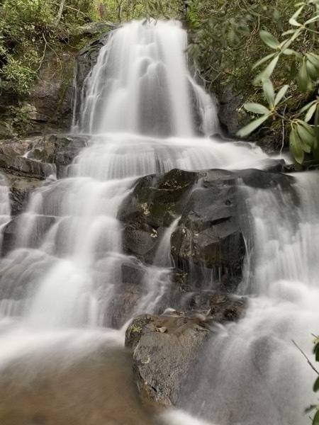
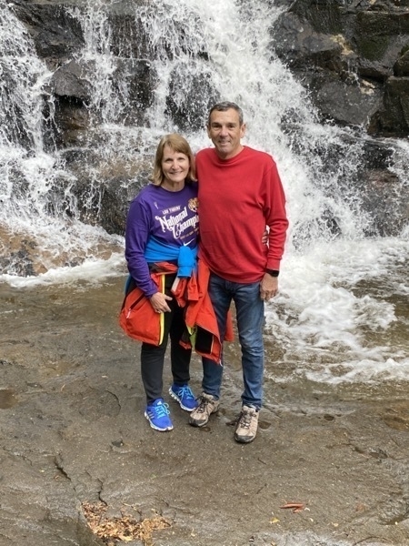
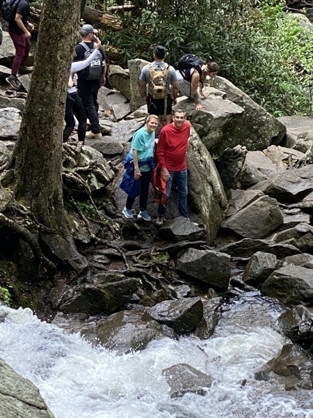
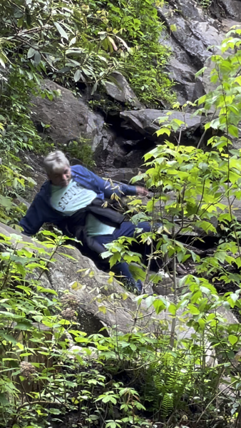
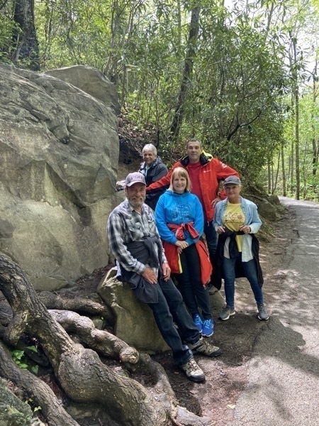
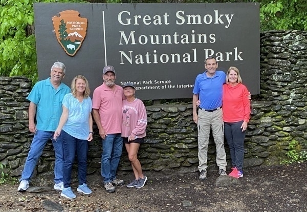
We drove into the Great Smokey Mountains National Park today and hiked to Laurel Falls, a 2.6 mile (round trip) hike on a paved trail up the mountain to a beautiful tiered waterfall. Along the way we were able to see some magnificent vistas of the mountains.Once we got there Tom, Vicki and Dan climbed down to a lower level of the falls where Dan slipped and fell (luckily, he wasn’t hurt).
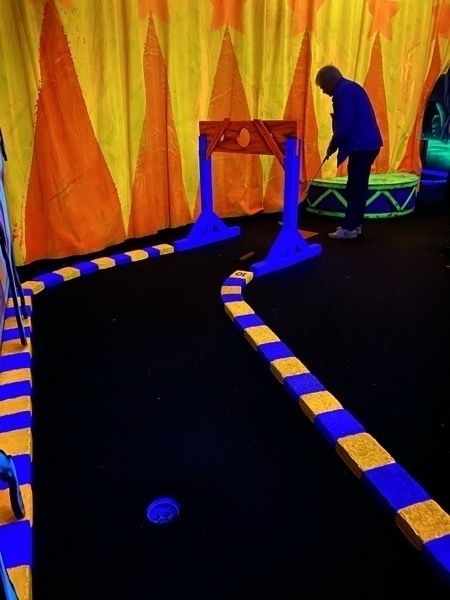
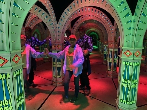
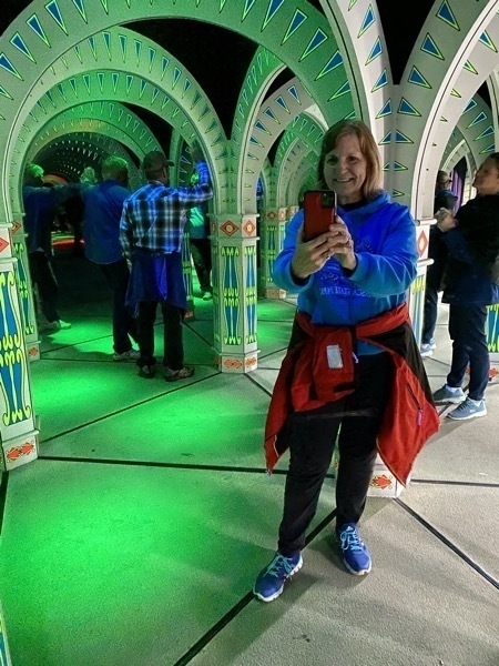
Ripley’s Indoor Putt Putt and Marvelous Mirror Maze
After the hike we drove back to Gatlinburg and played a round of Black Light Putt Putt and found our way through Ripley’s Marvelous Mirror Maze.($10 for both). These were both indoor attractions and it was supposed to rain, so we decided to give it a try. I was very disappointed with the Putt Putt. The lighting was so bad (which I should have expected since it’s black light illuminated , that we had to search for the hole each time we went to putt. I can’t complain too loudly though because I won—Ha!

(
-
Cades Cove, TN
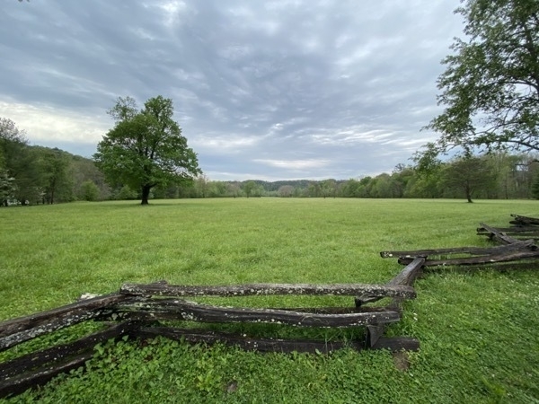
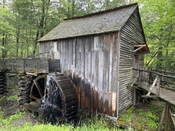
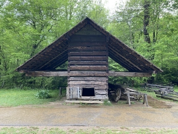
We drove back into the Great Smoky Mountains National Park, but this time we were headed for Cades Cove, one of the most popular tourists’ destinations in the park. It was a 30 mile drive to get there and then we drove an 11 mile loop through the cove. "The first Europeans settled in the cove sometime between 1818 and 1821. By 1830 the population of the area had already swelled to 271. Cades Cove offers the widest variety of historic buildings of any area in the national park.” The National Park Service recommends allowing two to four hours to drive the 11 mile loop.
It is supposed to be a great place to view wildlife, but we only saw a turkey and some deer. The drive was very pretty though.
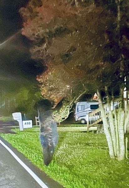
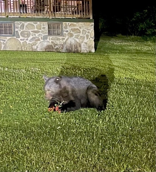
Going back to our cabin we spotted this bear STANDING on the side of the road eating holly berries off of a tree. While I was trying to back up and get a better picture, he decided to eat them sitting down.
-
Gatlinburg-Skybridge and more
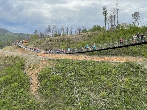
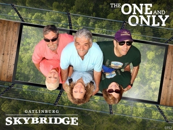
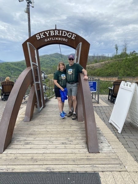
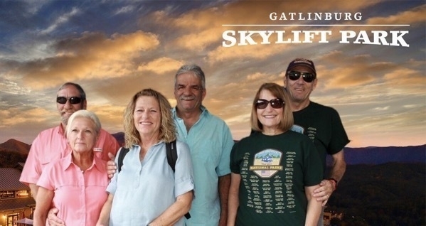
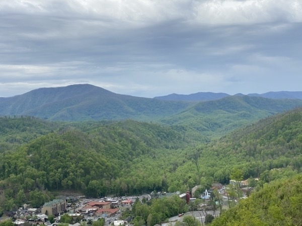
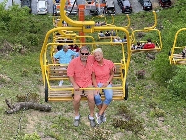
We rode the open-air Skylift, which has been operating since 1954, up to the 1800’ overlook at the Skybridge. The Skybridge is billed as the longest suspension bridge in North America and has a few glass panels in the middle to look straight down. It’s really not as thrilling as we thought it would be—definitely a big tourist attraction though. The Capilano Suspension Bridge in Vancouver, BC was much more thrilling to us. The cost for seniors was $20.95 and in my opinion, highly overrated. It’s a pretty view on the way up, but nothing spectacular.
Ripley’s Aquarium of the Smokies
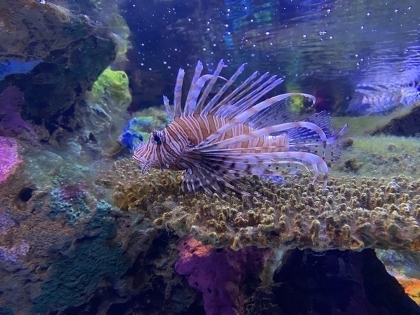
Our next stop after the Skybridge was Ripley’s Aquarium of the Smokies. We saw many amazing fish, but my favorite fish was the Sawfish (also known as carpenter sharks) that has a long nose extension with sharp transverse teeth that resemble a saw.
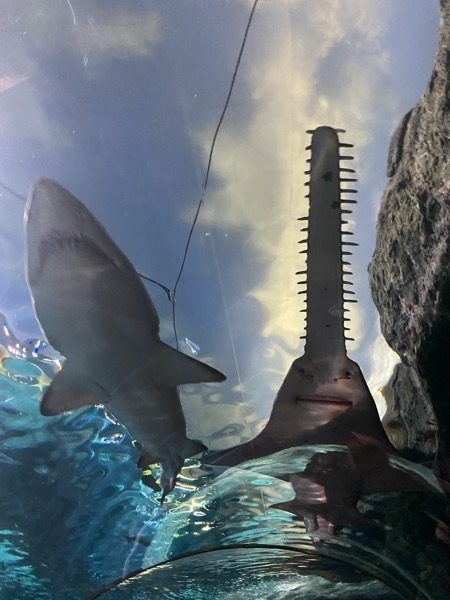
Have you ever seen a shark that looks like it’s a saw?
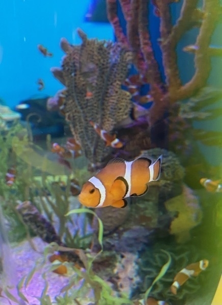
We found Nemo
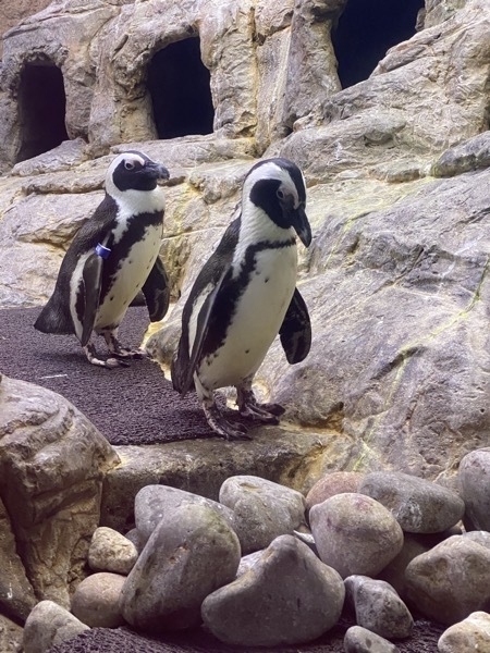
There was a nice penguin exhibit,
A tribute to Conway Twitty
In the evening we went to the tribute to Conway Twitty Show featuring Travis James in the Main Event Theatre.
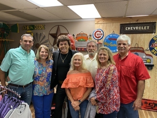
Lots of activities packed into one day and it was a good one.
-
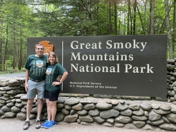
Gatlinburg, TN and The Great Smokey Mountains National Park
Gatlinburg is a LONG drive from Lake Charles (860 miles), but we broke up the trip in three days. The first stop was in Carriere, MS where we spent the night with Glen and Donna and the second stop was a night in Brent, AL where we visited with Brent, Spring, Kennedy, Ben, Tommy and Crystal. Day 3 we arrived in Gatlinburg.
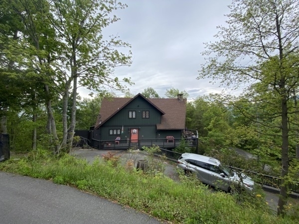
The cabin we rented with Dan, Vicki, Glen and Donna was SO nice and spacious, but the drive getting up to it was a little more thrilling than I would have liked. The road was very steep and curvy with no guardrails and a dead drop off over the side of the mountain on one side and into a 4’ ditch on the other. The driveway could not even be seen from the road when we turned in (It was marked with a reflector on a pole). We had four bedrooms, four bathrooms, a wrap around porch, and three living areas—1860 Luzern Road.
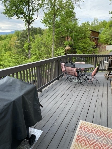
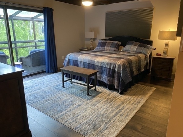
Our bedroom
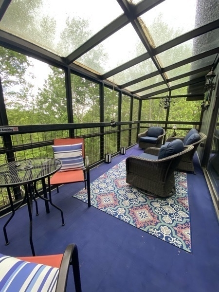
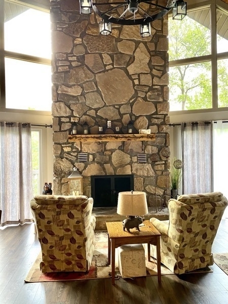
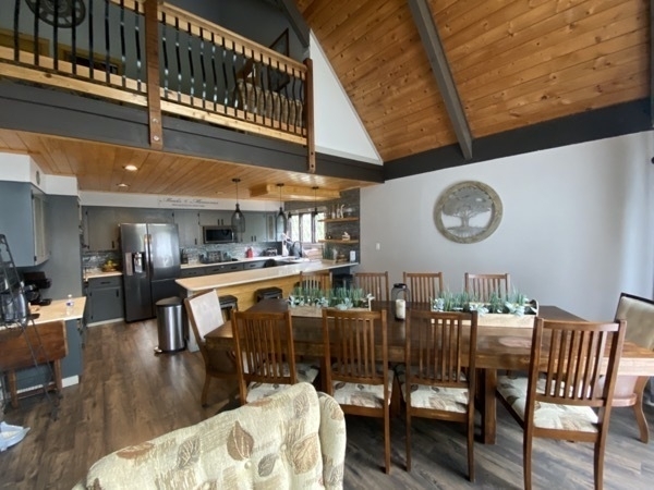
We rented it for one week and spent the days doing activities and hiking in Pigeon Forge and Gatlinburg and spent the evenings playing Phase Ten, Navy Bridge, and Uno Flip. I must admit that was inordinately lucky this week and won almost every game we played!
-
Las Vegas!
After spending two days in Death Valley National Park and hiking Valley of Fire State Park, we drove back to Las Vegas and spent two nights at the Bellagio Hotel.
We were shocked with the mask compliance while we were in Las Vegas. Most people were wearing a mask while walking down the sidewalk, which iwas something we haven’t seen in any other city except when we were in Austin during last summer. Wearing masks was mandatory in the hotel lobbies and casinos..
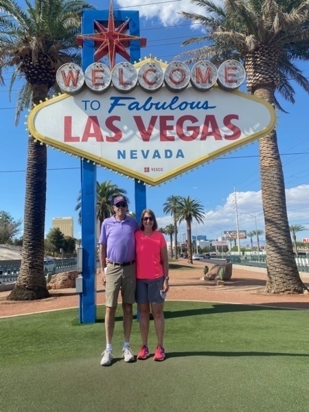
We walked from the hotel up to the “Welcome to Las Vegas” sign which was 5.5 miles. Both days we walked over ten miles. When we got to the sign, we were surprised at how many people were standing in line waiting to do the same thing. In fact, a tour bus stopped to let the passengers do the same thing.
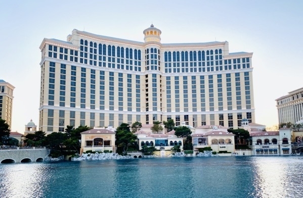
The Bellagio
On the way walking to the sign and back we stopped at many places to take photos and check out the sites. No casinos though.
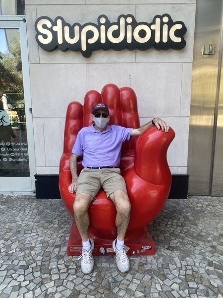
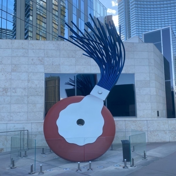
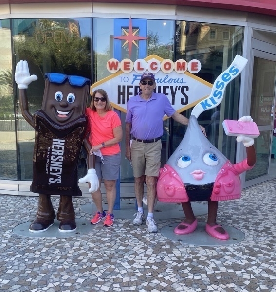
Anyone remember the use for these??
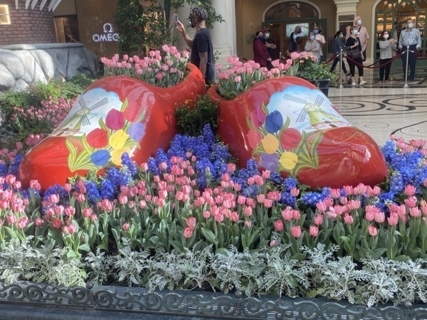
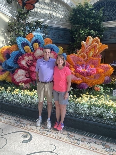
Bellagio flower show was amazing!


In the evening we drove to the original part of Las Vegas and enjoyed walking down Fremont and seeing all the venues.
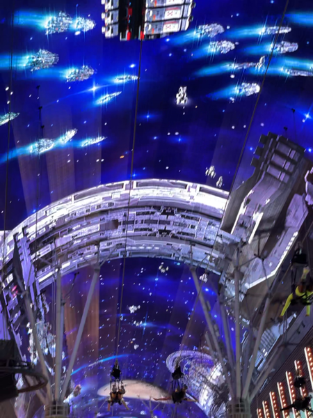
I wished I had waited in line to zip line down Fremont Street, but the line was too long.
-
Valley of Fire State Park, Overton, NV in the Mojave Desset
We left the Mesquite Sand Dunes in Death Valley National Park, CA and drove 200 miles to Valley of Fire State Park, near Overton, in the Mojave Desert. 40,000 acres of bright red Aztec sandstone outcrops nestled in gray and tan limestone, Valley of Fire State Park contains ancient, petrified trees and petroglyphs dating back more than 2,000 years.
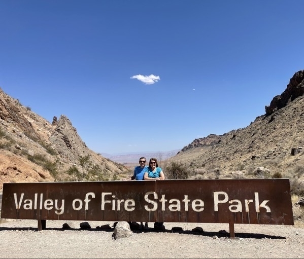
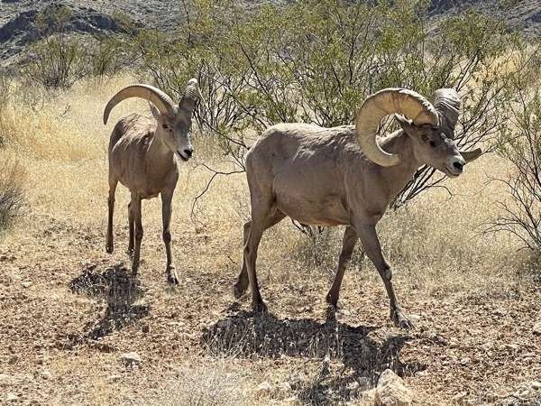
We were greeted by the dessert bighorn sheep that were walking along the road as we entered the park.
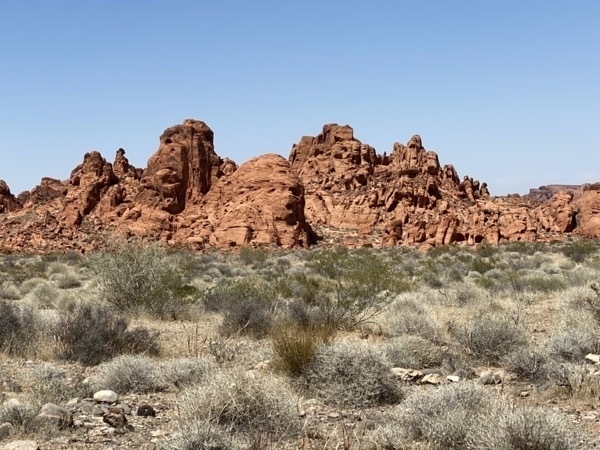
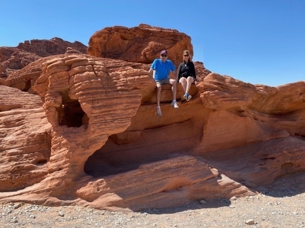
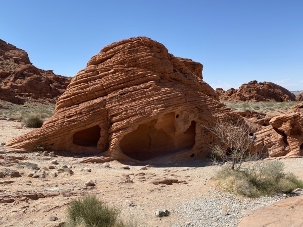
This is one of a group of rocks called the Beehives
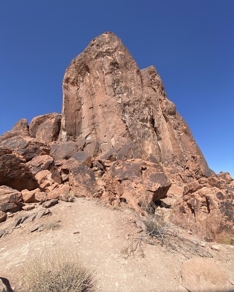
The entrance to the White Domes hiking trail.
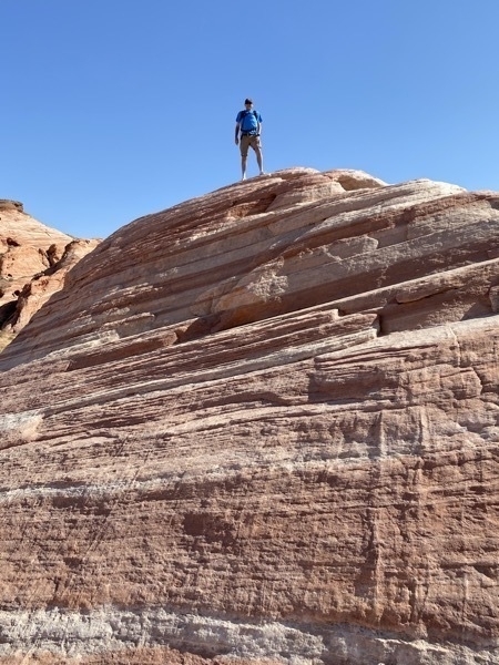
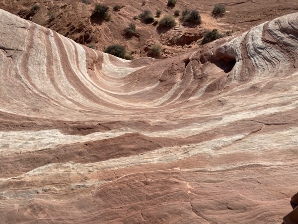
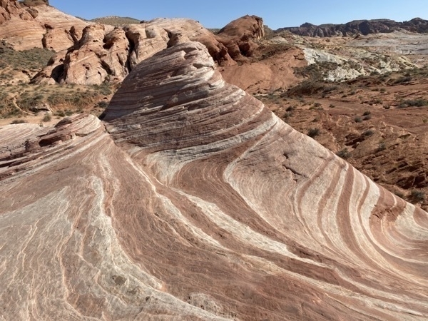
Tom is standing on top of the Fire Waves trail rock.
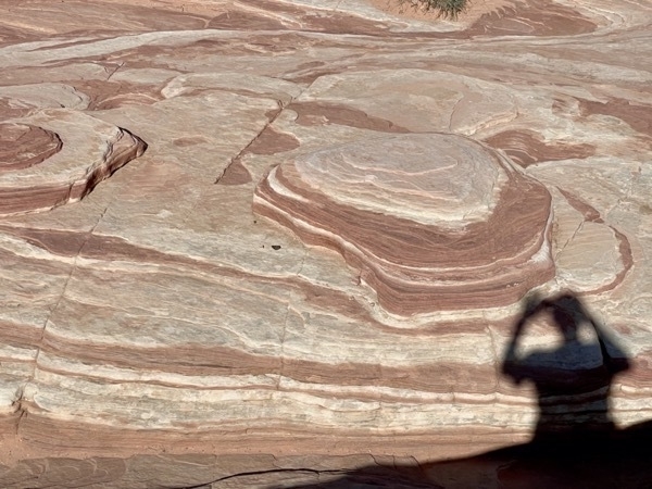
We hiked the 1.5 mile Fire Wave Trail to see these incredible rock coloring and vistas.
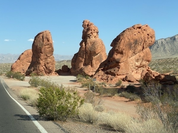
This a picture of the Seven Sisters, but I guess of few of them must have been running errands when we drove past.
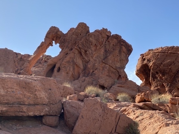
Our last short hike was to see Elephant Rock. After we climbed up to see it, we realized we could have also seen it from the road—but didn’t realize it at the time.
Afterwards , we drove 65 miles to Las Vegas.
-
Death Valley National Park
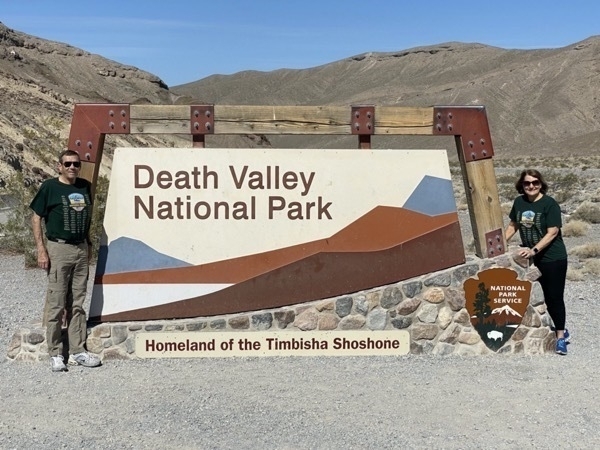
This morning we visited our 39th National Park—Death Valley. It was 69 degrees when we entered the park at 9:30 and 101 degrees by 1:00 when we were walking on the salt flats.
Death Valley is the hottest place on the Earth, with a recorded temperature of 134 on July 10, 1913. It is also the driest U.S. national park and features the lowest elevation in North America. Last summer the temperature reached 128 degrees which was the hottest recorded temperature anywhere on Earth since 2013, hence why we planned NOT to go during the summer.
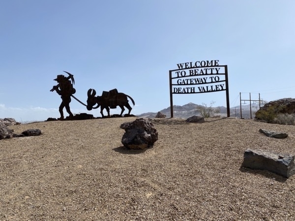
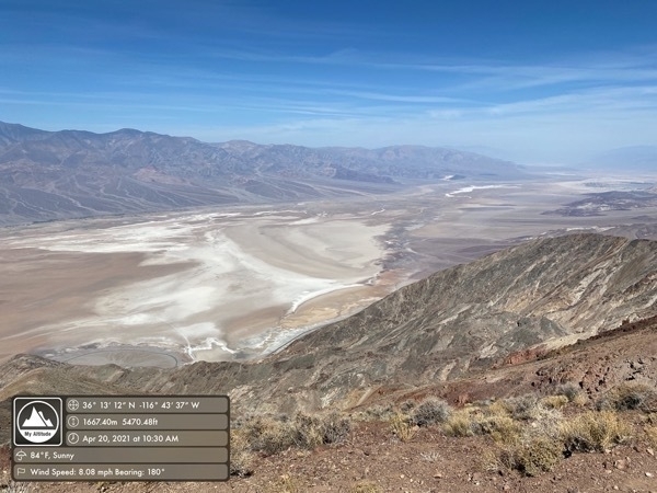
Our first stop was after the welcome sign, of course, was Dantes View, over 5,000 above Death Valley. We took several of our pictures with the Altitude app to record the actual elevation because it ranged from the elevation in this photo of 5,470 feet above sea level to a low of -282 below sea level.
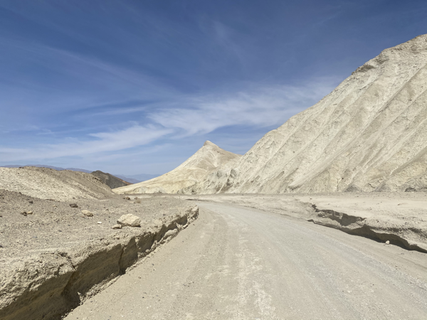
Twenty Mule Team Canyon was our next stop. It is a 2.5 mile one way drive on unpaved roads through the eroded badlands. Several movies have been filmed here including Star Wars VI: Return on the Jedi
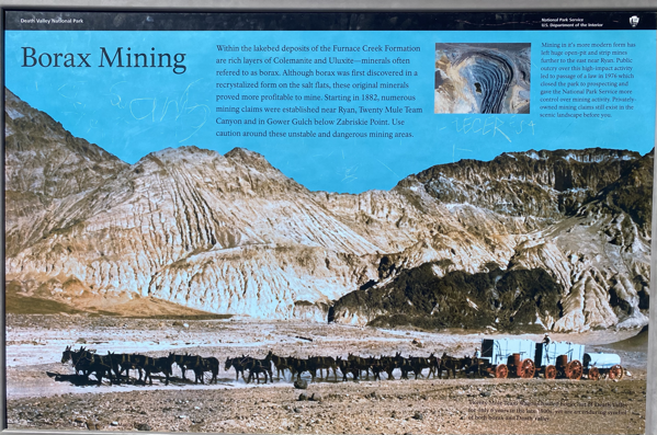
I remember the 20 mule team that was featured in the Borax commercials when I was young. Starting in 1892 Borax was mined here. I had totally forgotten about the product, but can now remember my mom using it in the washing machine to assist in removing stains from of our clothes. If you take the time to goggle uses for Borax, it appears to be a miracle substance for all kinds of cleaning jobs including washing clothes, cleaning the toilet, disinfecting the garbage disposal, and many more (25 miracle cleaning jobs when I googled it).
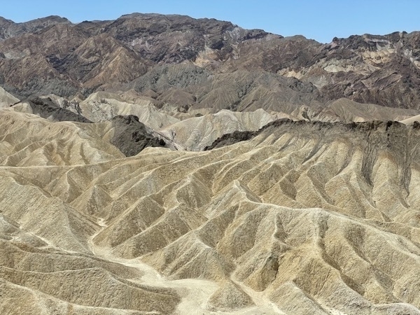
Zabriskie Point featured golden colored badlands.
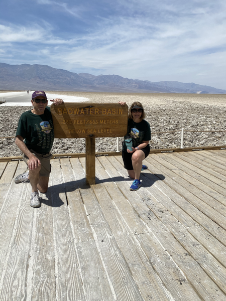
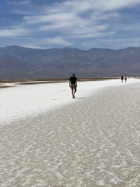
We drove down to Badwater Basin, the lowest point in North America, at 282 feet below sea level and walked two miles on the salt flats. The temperature was 101 degrees by the time we arrived. It was a dry heat, of course, but still very hot.
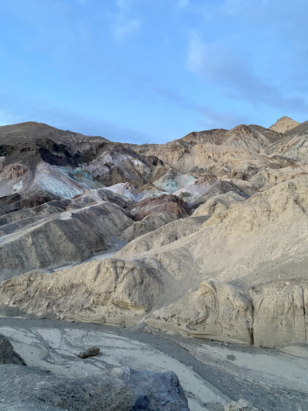
Artist Palette was our last stop for the day.. I was really looking forward to seeing this point, but the colors were not never as vivid in the pictures I took. We were there in the afternoon and I drove back in the evening, so the time of day to catch them must be in the morning as the sun rises.
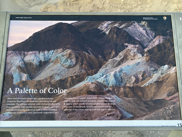
Created by volcanic activity, heat and water this rocks contain iron, aluminum, magnesium, and titanium and depending on the time of day, the colors are very vivid.
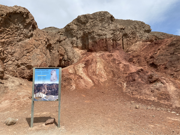
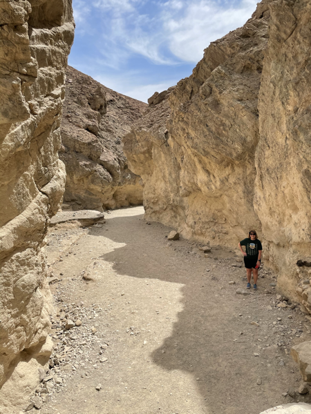
We stopped briefly at Golden Canyon Trail, but we were exhausted by the time we got there, so we walked a short distance and took a couple of pictures.
By 2:30 we were back at the Ranch and worn out. The shower felt wonderful!
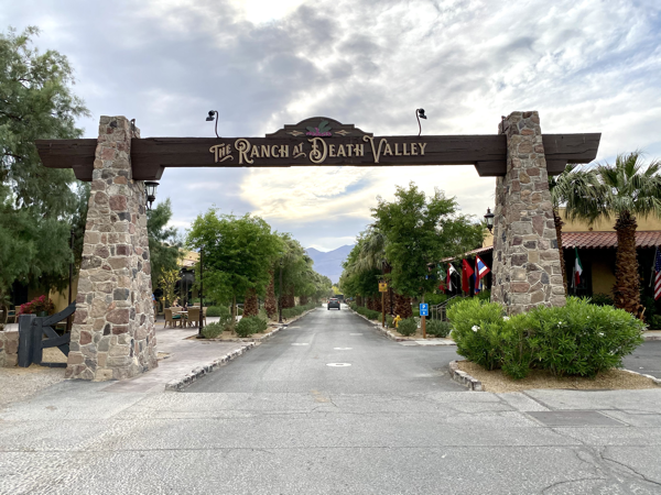
We are staying at the Ranch of Death Valley at Furnace Creek. We ate dinner in the courtyard of the Forty Nine Cafe. Tom had a filet magnon, asparagus, and a baked potato while I had chili and a Caesar salad. Because of COVID, all meals were served in paper boxes.
Today was a day well spent enjoying God’s magnificent creations.
Day 2 in Death Valley
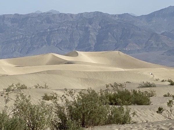
After checking out of the motel we drove 22 miles further north to see the Mesquite Sand Dunes. According to the National Park Service "there must be a source of sand, prevailing winds to move the sand, and a place for the sand to collect. The eroded canyons and washes provide plenty of sand, the wind seems to always blow (especially in the springtime), but there are only a few areas in the park where the sand is trapped". The Mesquite Sand Dunes is one area, but there are also four other sights within the park with sand dunes: Eureka Dunes, Saline Valley Dunes, Panamint Dunes and the Ibex Dunes.
