Virginia Creeper Trail and Backbone Rock Tunnel
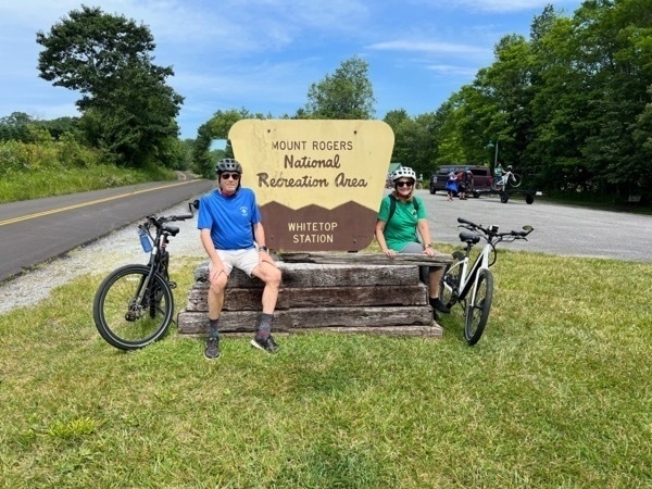
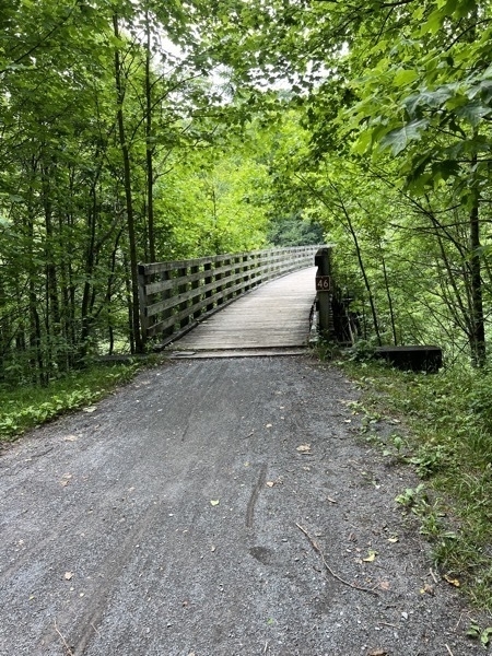
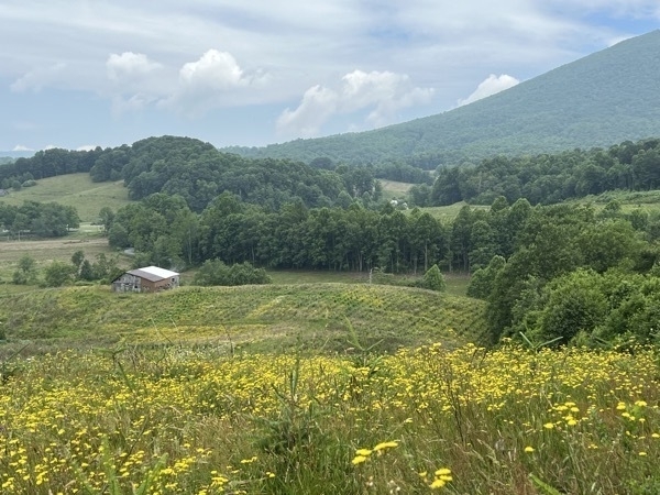
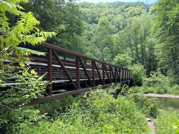
We paid for a shuttle to take us and our bikes from Damascus to the Whitetop Station near the top of the second highest peak in Virginia. The drive was about 35 minutes. The Creeper Trail meanders (mostly!) downhill through some spectacular scenery– open farmlands and fields, dense forests, Christmas tree farms, rushing streams and creeks. We only rode the 17 miles from Whitecap to Damascus, which crossed 28 trestles and bridges and two restored railroad depots. The VCT intersected the Appalachian Trail at a few points along our journey.
The elevation change along the 34-mile trail is moderate. Near the top of Whitetop Mountain, our altitude app showed 3563.79’ (as seen at the bottom of our picture. Damascus is a little over 1900’ – an elevation change of almost 1600’ in 17 miles (but we didn’t take a picture).
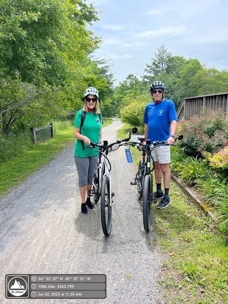
It took us about 3 hours to ride from Whitetop to Damascus after stopping for lunch at Hellbenders.
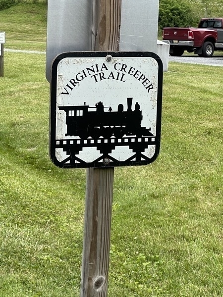
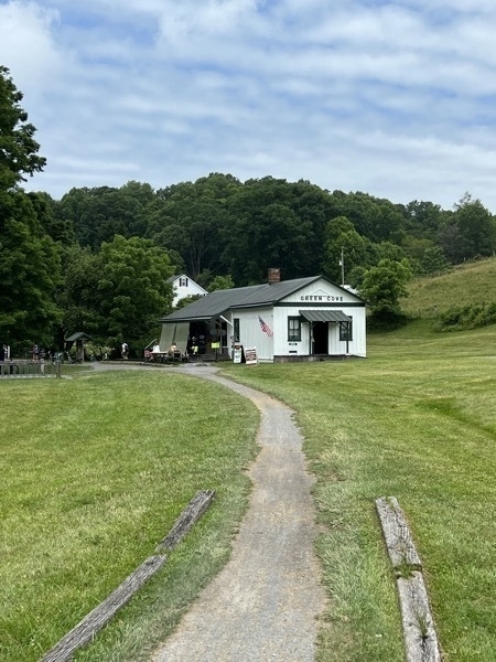
Green Cove Station was a rail stop along the Virginia Creeper Railroad that ran from Abingdon, Virginia, to Todd, North Carolina.Built by the Virginia Carolina Railroad about 1914, it also served as a post office, general store, and telegraph office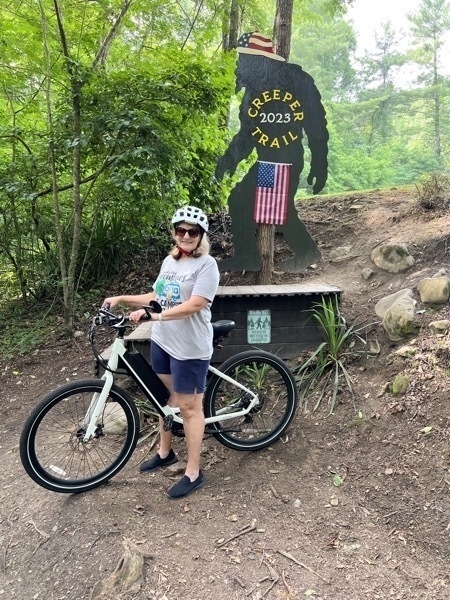
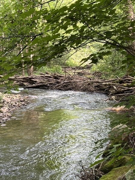
Beaver Dam

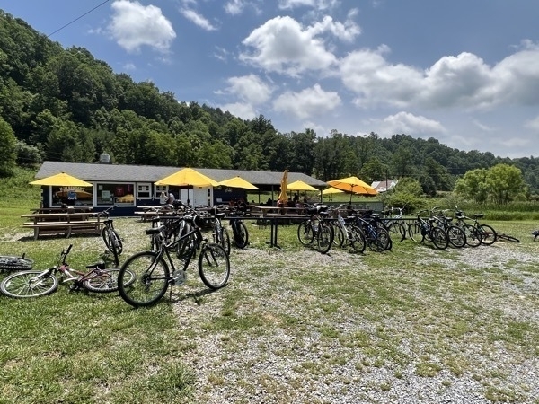
We stopped for a nice lunch at Hellbender’s Cafe
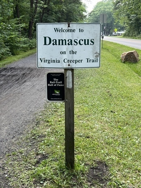
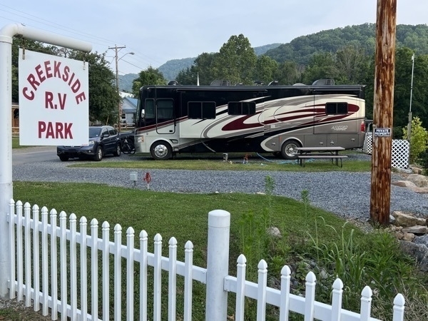
We stayed at the Creekside RV Park for two nights and paid $50 per night. It was only one block from the trail.
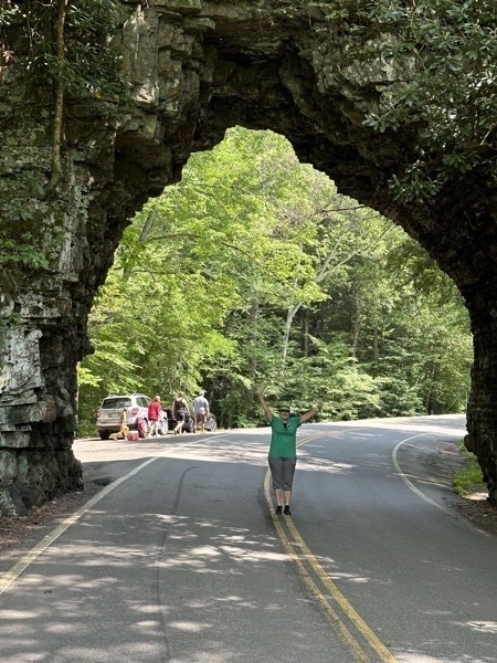
Backbone Rock Tunnel
The World's Shortest Tunnel, Backbone Rock, is both narrow and tall at 80 feet in height and only 20 feet long. Surrounded by the Cherokee National Forest, Beaverdam Creek carves its way through the mountains alongside the tunnel.
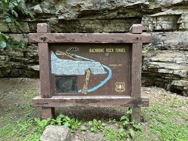
The cut into the arch to make it higher was so the locomotive steam stack would fit though.
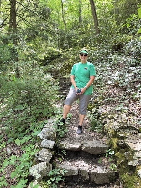
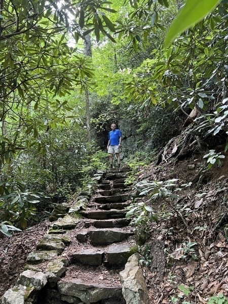
We hiked up a steep trail to walk over the top of the tunnel and then walk back down on the other side.
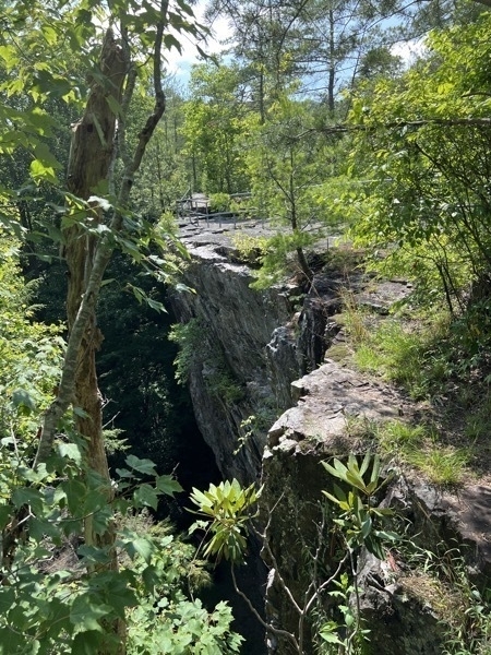
Where we walked across the top.
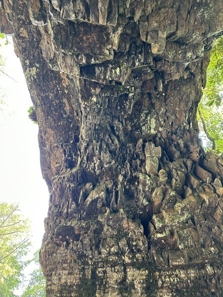
Looking up when under the tunnel.
