Chattanooga, TN--Ruby Falls
Ruby Falls on Lookout Mountain, Chattanooga

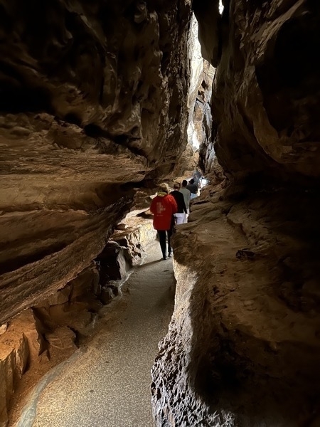
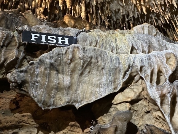
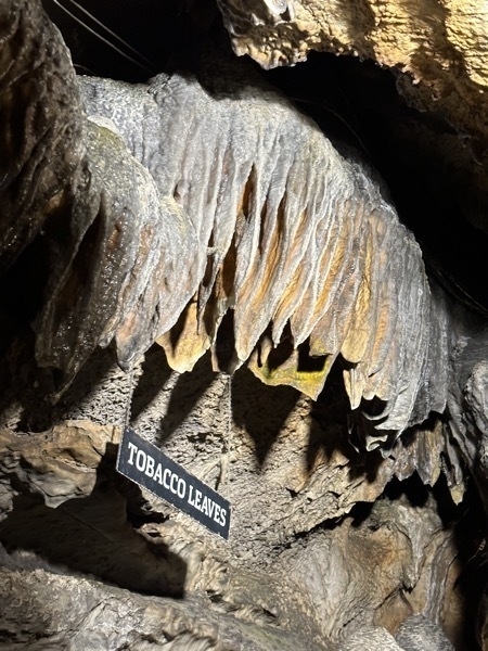
We started the day with a tour of Ruby Falls, a cave in Lookout Mountain The falls are located at the end of the main passage of Ruby Falls Cave, in a large vertical shaft. The stream, 1,120 feet underground, is fed both by rainwater and natural springs. It collects in a pool in the cave floor and then continues through the mountain until finally joining the Tennessee River at the base of Lookout Mountain. To get to the falls, we rode a glass-front elevator 260 feet into the mountain and explored the cavern trail which led nto the tallest and deepest cave waterfall open to the public in the United States.
In 1905, the natural entrance to Lookout Mountain Cave was closed during the construction of a railway tunnel. In the 1920s, a cave enthusiast named Leo Lambert thought that he could re-open the cave as a tourist attraction, and formed a company to do so. He planned to make an opening further up the mountain than the original opening and transport tourists to the cave via an elevator. For this purpose, his company purchased land on the side of Lookout Mountain above Lookout Mountain Cave and in 1928 began to drill through the limestone.
In doing so, they discovered a small passageway about 18 inches high and four feet wide. He crawled through this passage for almost 17 hours and discovered the formerly hidden Ruby Falls Cave and its waterfall. On his next trip to visit the cave, Lambert took his wife Ruby, and told her that he would name the falls after her.
After discovering the cave where the Ruby Falls are located, the tunnelers kept digging to locate the original cave they were searching for, the Lookout Mountain caverns, which they reached 1,120 feet underground. On December 30, 1929 the Lookout Mountain caverns were open to the public, and by the following year in June, the Ruby Falls cave was expanded and opened as well.
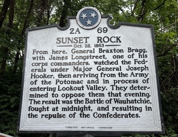
Sunset Rock
We continued driving from Ruby Falls about 2.5 miles up Lookout Mountain until we reached Sunset Point. We hiked a short, but dangerous trail from the car out to a steep sheer drop-off where there was a beautiful overlook of Chattanooga.
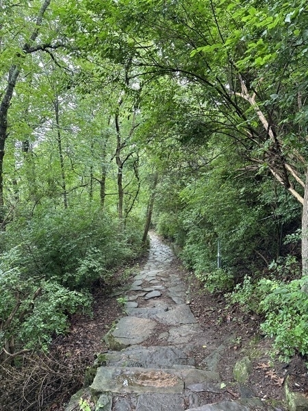
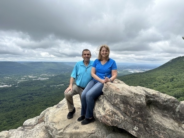
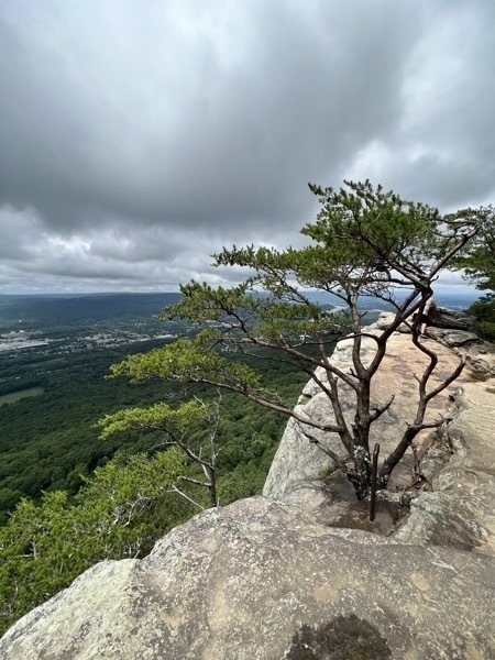
We ate a delicious lunch at Scotties on the River and then walked along the Chattahoogie River towards the Walnut St Pedistrian Bridge and alongside the Aquarium.
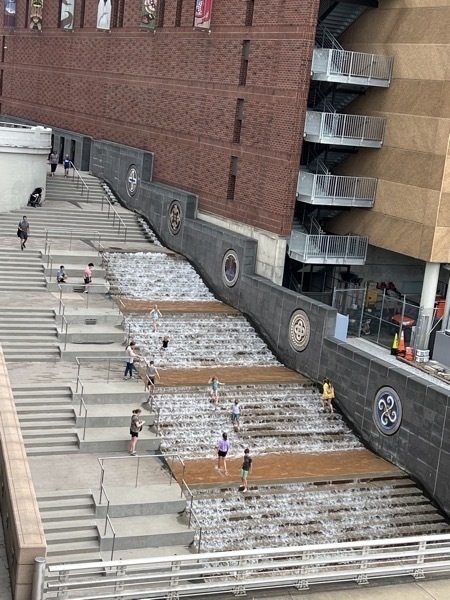
This water feature alongside the aquarium is a great place for children to play. Great idea for a hot day!

Trail of Tears
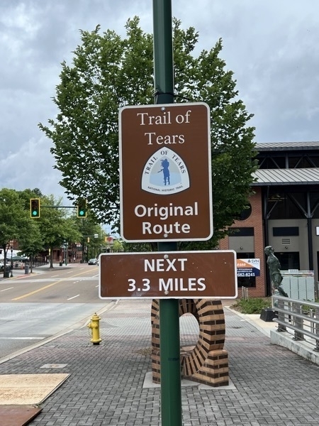

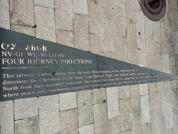
Four Journey Directions - This refined symbol dating from the early Mississippian Period represents the directions the Cherokees would travel. Like birds of flight, they endured endless migration North from their ancestral homeland, East toward the rising sun to a land that was only temporary. South where peace and contentment reigned for fourteen generations; and West where great upheaval, death and sorrow awaited.
Accommodations:
- We stayed at the Raccoon Mountain Caverns & Campground for $82.00 for one night. They didn’t have room for us the second night so we moved to a Cracker Barrel Parking Lot for the second night.
